
 |
 |
| Photography Index | 70-mm magazine E - AS09-20-3053 to 3177 |
No copyright is asserted for NASA photographs. If a recognizable person appears in a photo, use for commercial purposes may infringe a right of privacy or publicity. Photos may not be used to state or imply the endorsement by NASA or by any NASA employee of a commercial product, process or service, or used in any other manner that might mislead. Accordingly, it is requested that if a NASA photograph is used in advertising and other commercial promotion, layout and copy be submitted to NASA prior to release. NASA photos reproduced from this archive should include photo credit to "NASA" or "National Aeronautics and Space Administration" and should include scanning credit to the appropriate individuals or agencies as noted in the captions.
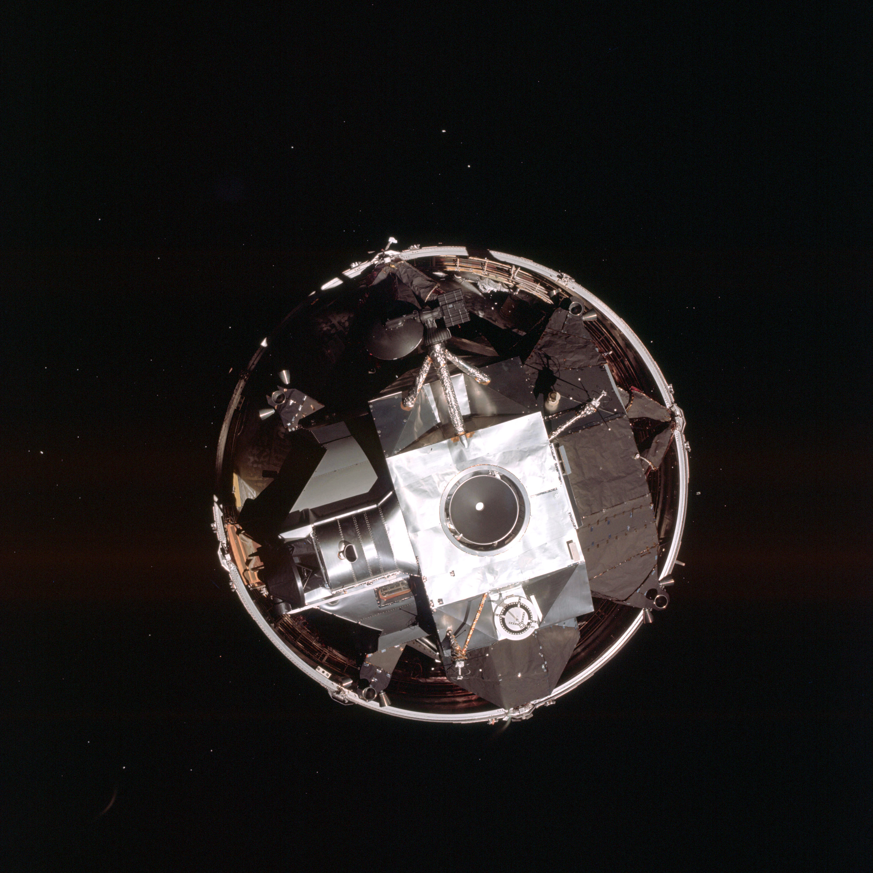 | AS09-19-2909 LM Spacecraft - top view from Command Module Image credit: Image Science and Analysis Laboratory, NASA-Johnson Space Center. |
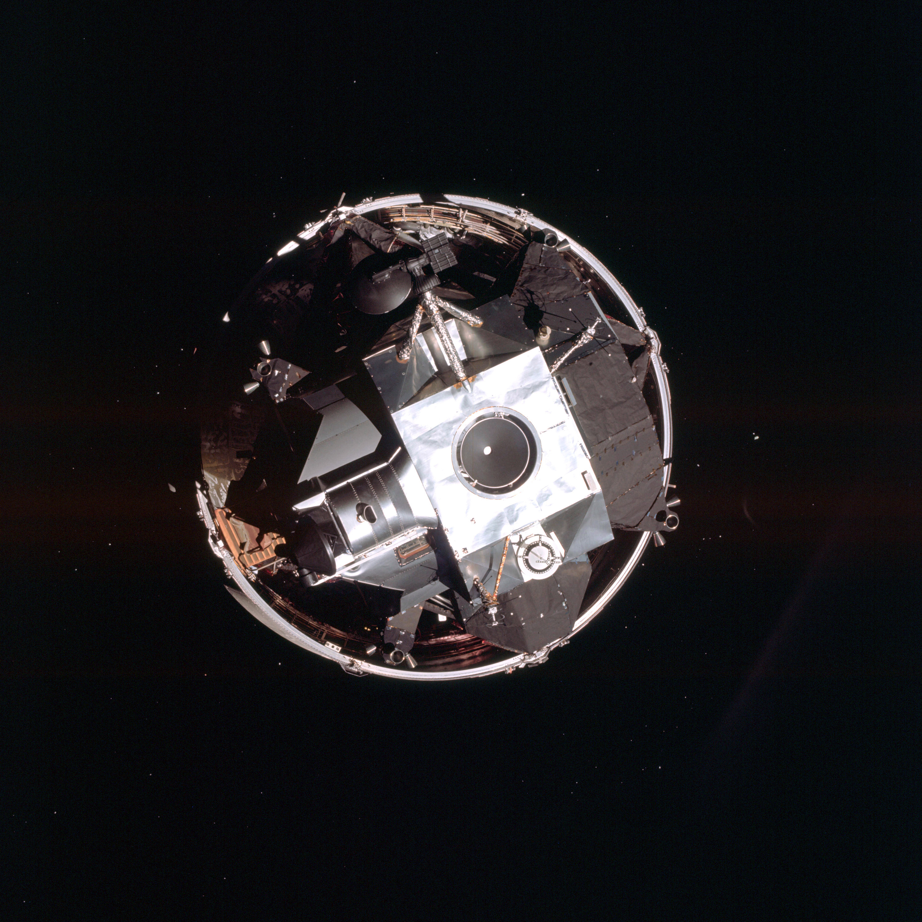 | AS09-19-2910 LM Spacecraft - top view from Command Module Image credit: Image Science and Analysis Laboratory, NASA-Johnson Space Center. |
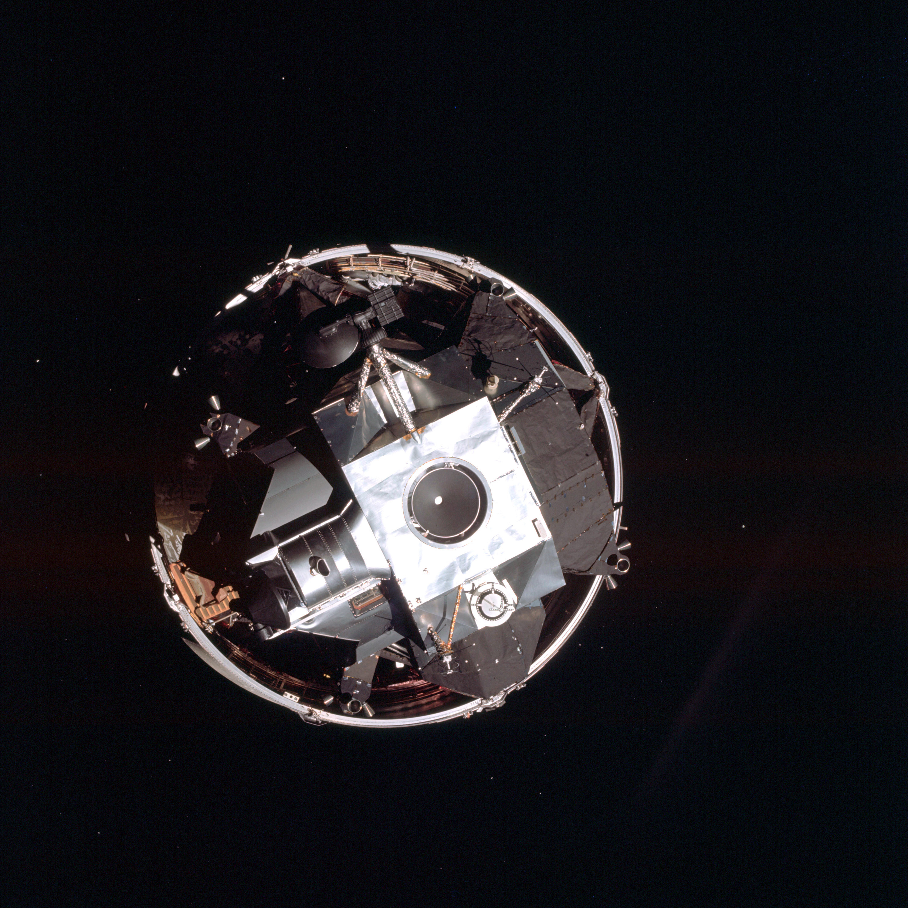 | AS09-19-2911 LM Spacecraft - top view from Command Module Image credit: Image Science and Analysis Laboratory, NASA-Johnson Space Center. |
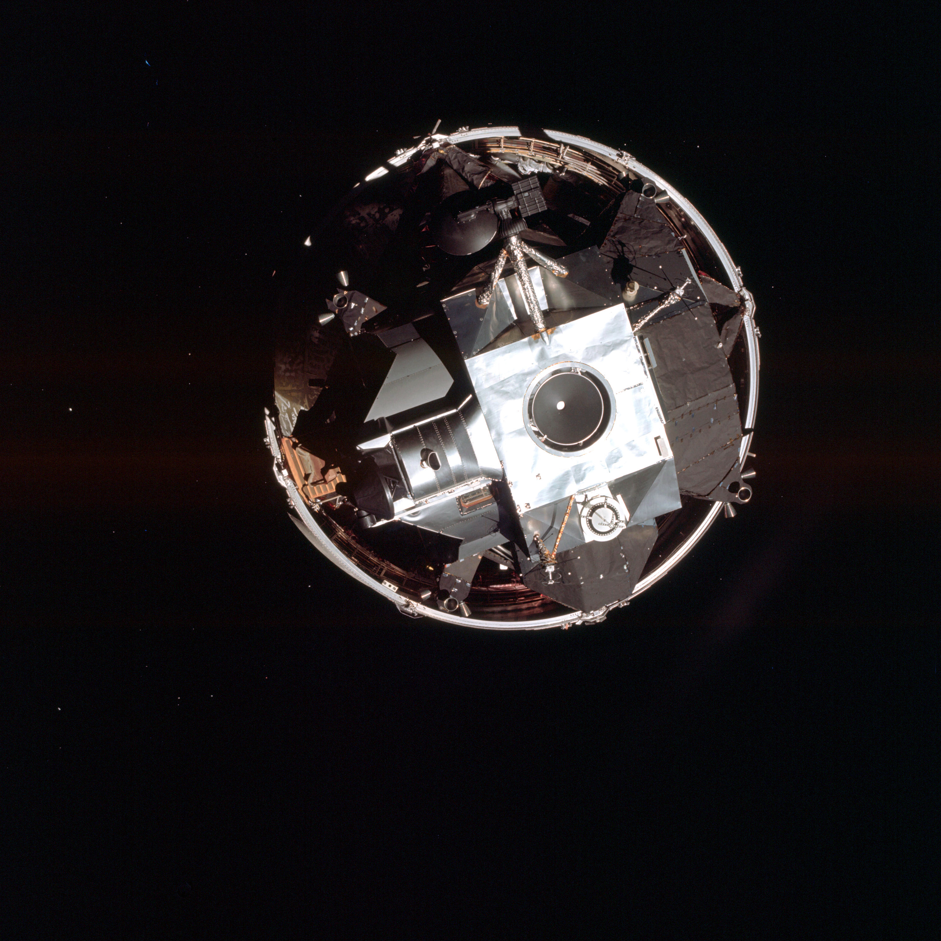 | AS09-19-2912 LM Spacecraft - top view from Command Module Image credit: Image Science and Analysis Laboratory, NASA-Johnson Space Center. |
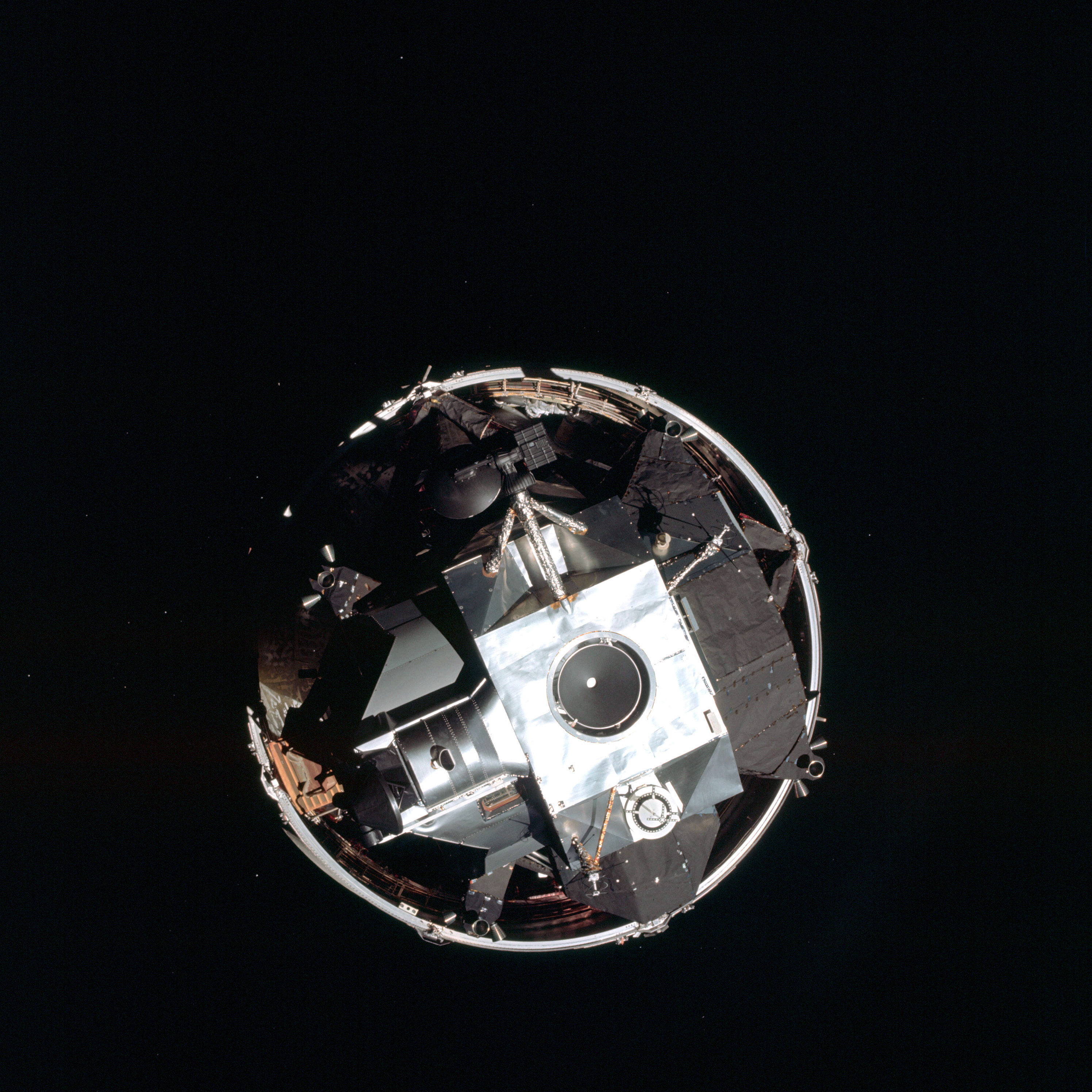 | AS09-19-2913 LM Spacecraft - top view from Command Module Image credit: Image Science and Analysis Laboratory, NASA-Johnson Space Center. |
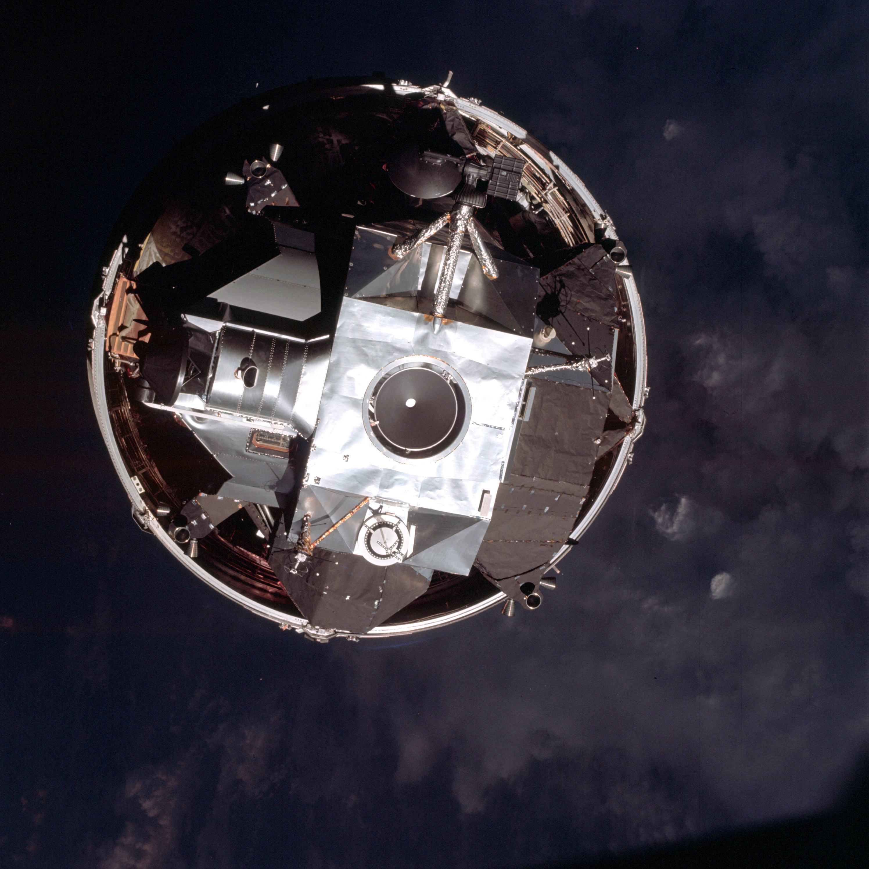 | AS09-19-2914 LM Spacecraft - top view from Command Module Image credit: Image Science and Analysis Laboratory, NASA-Johnson Space Center. |
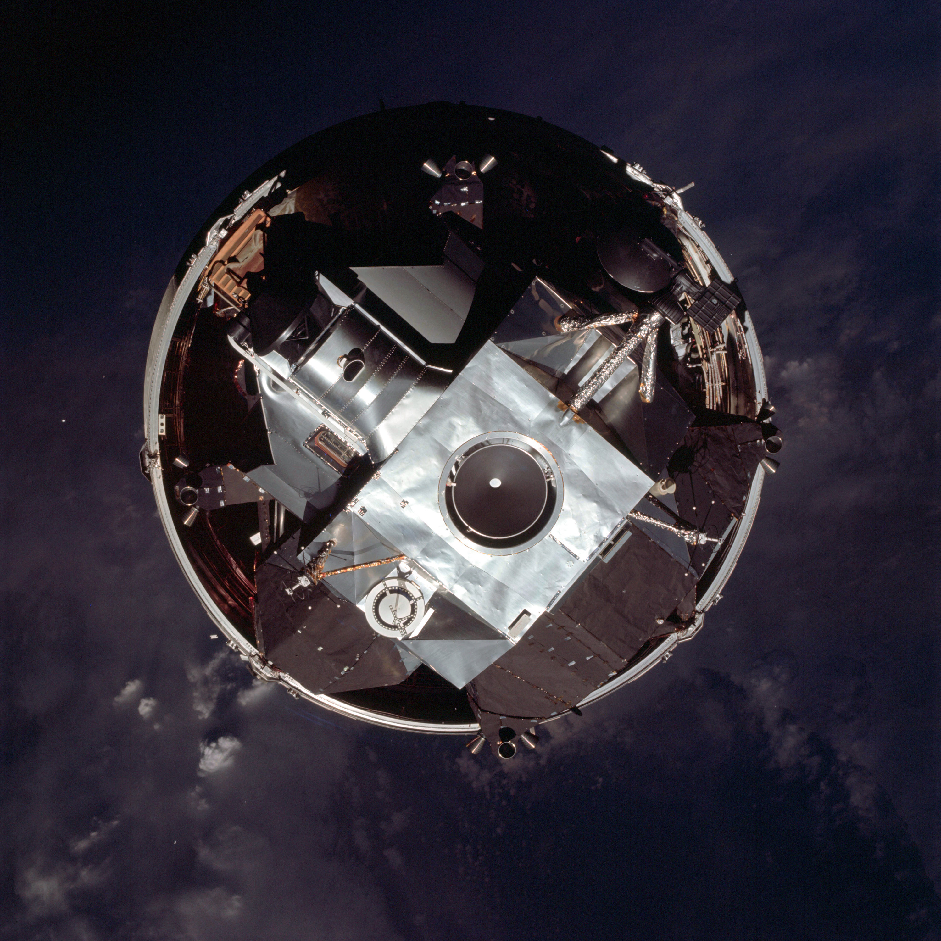 | AS09-19-2915 LM Spacecraft - top view from Command Module Image credit: Image Science and Analysis Laboratory, NASA-Johnson Space Center. |
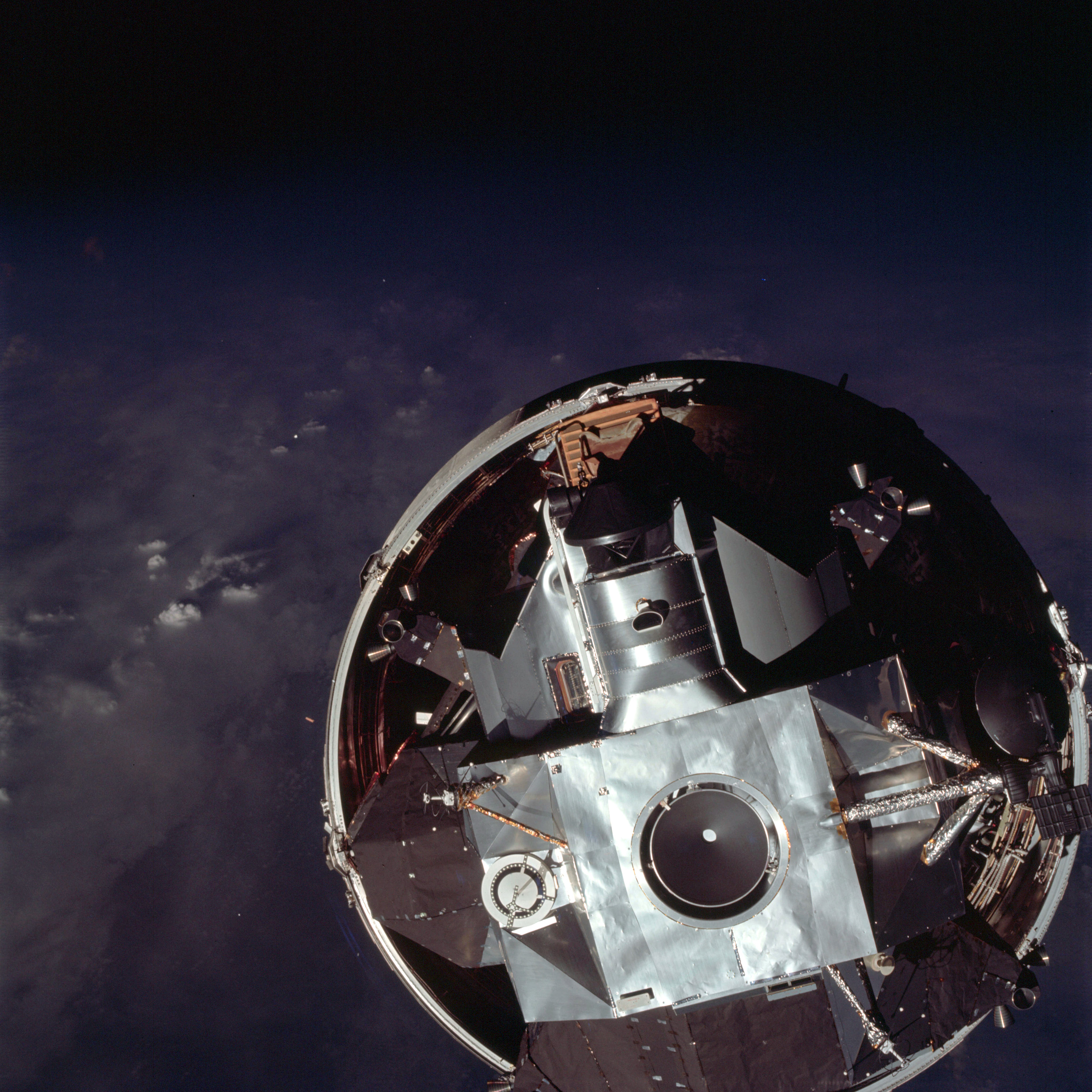 | AS09-19-2916 LM Spacecraft - top view from Command Module Image credit: Image Science and Analysis Laboratory, NASA-Johnson Space Center. |
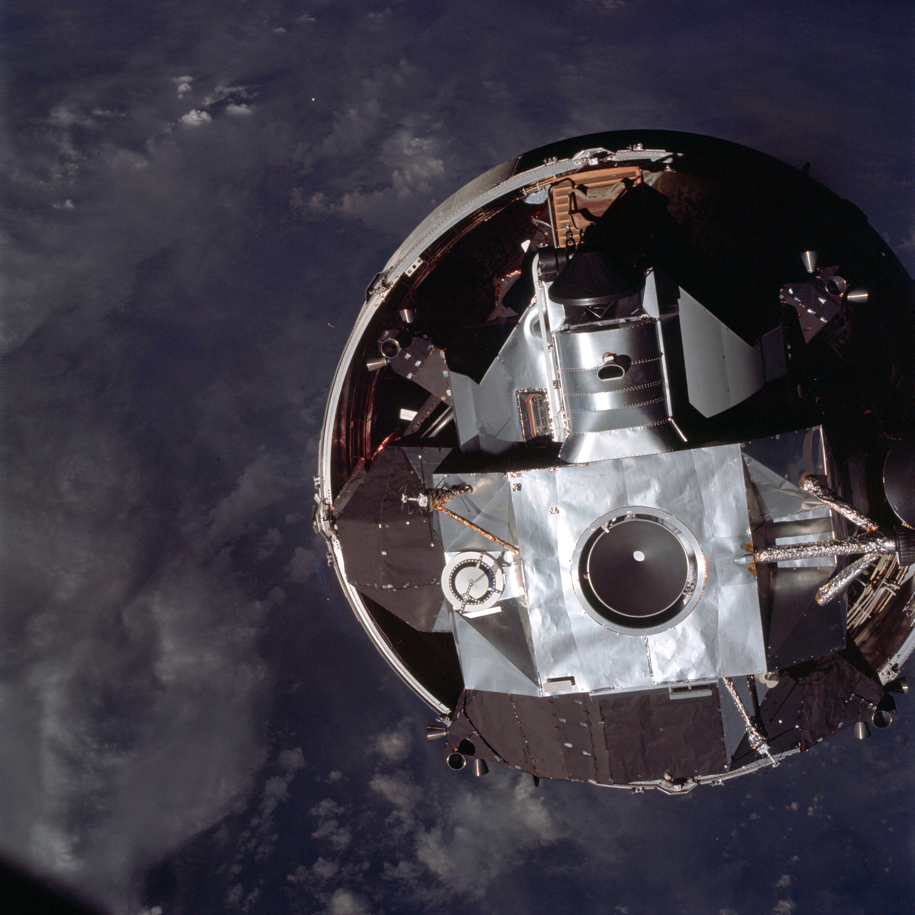 | AS09-19-2917 LM Spacecraft - top view from Command Module Image credit: Image Science and Analysis Laboratory, NASA-Johnson Space Center. |
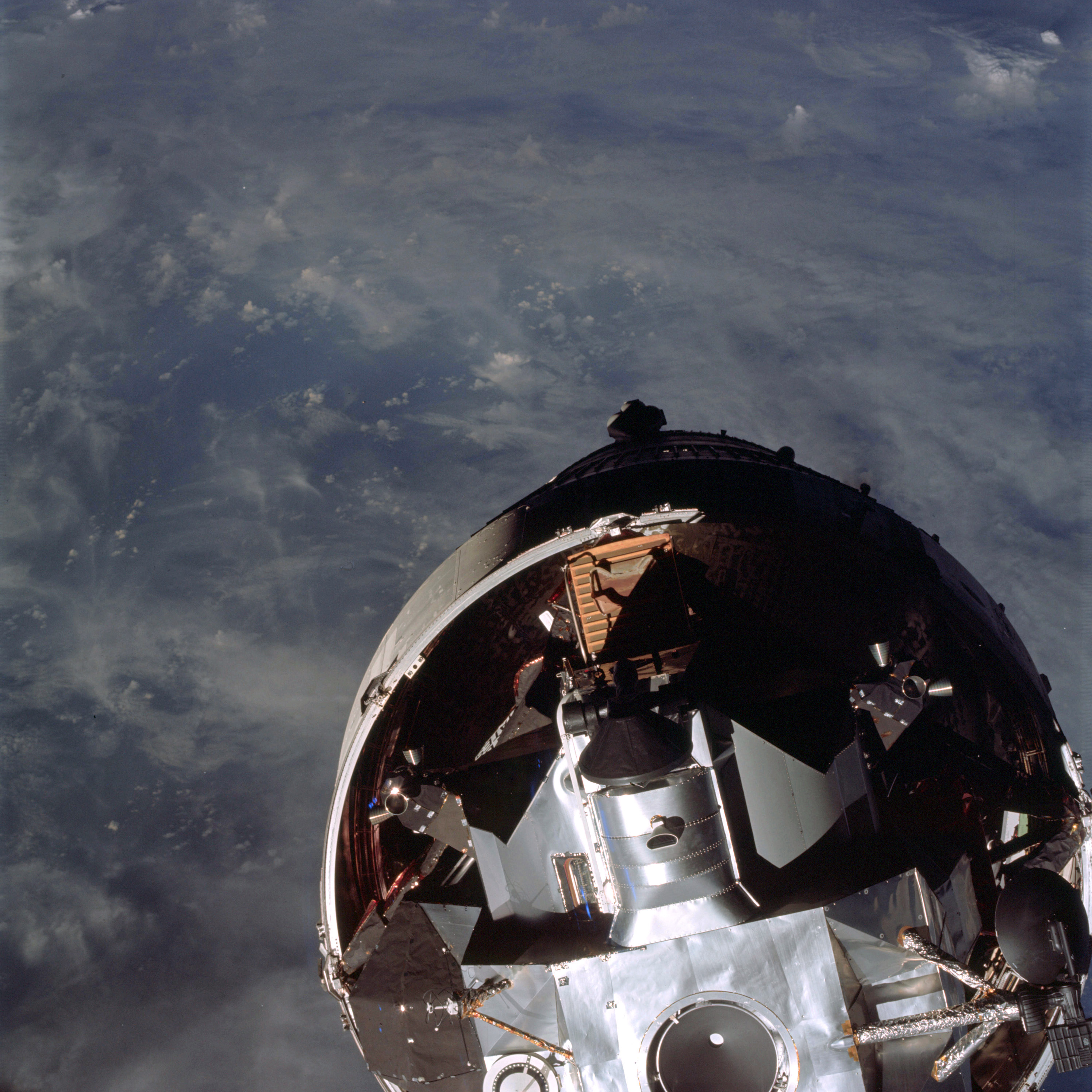 | AS09-19-2918 LM Spacecraft - top view from Command Module Image credit: Image Science and Analysis Laboratory, NASA-Johnson Space Center. |
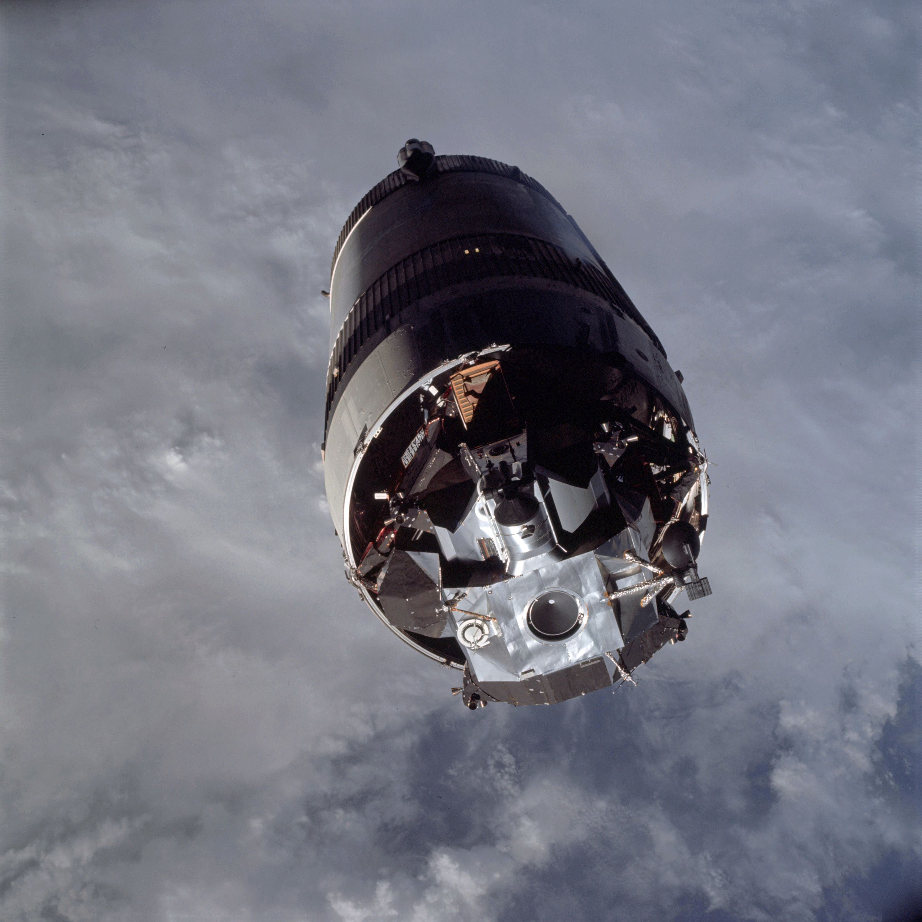 | AS09-19-2919 LM Spacecraft - top view from Command Module Image credit: Image Science and Analysis Laboratory, NASA-Johnson Space Center. |
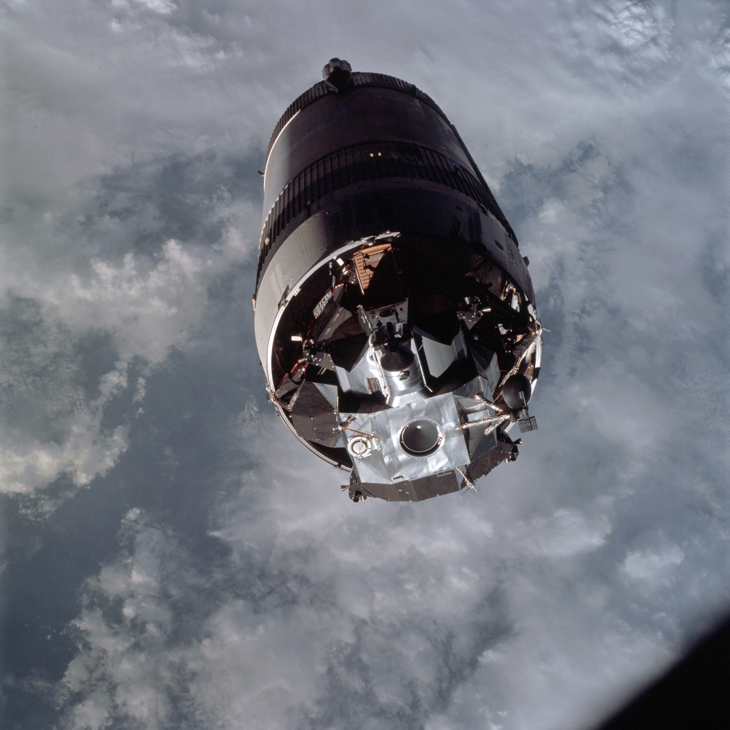 | AS09-19-2920 LM Spacecraft - top view from Command Module Image credit: Image Science and Analysis Laboratory, NASA-Johnson Space Center. |
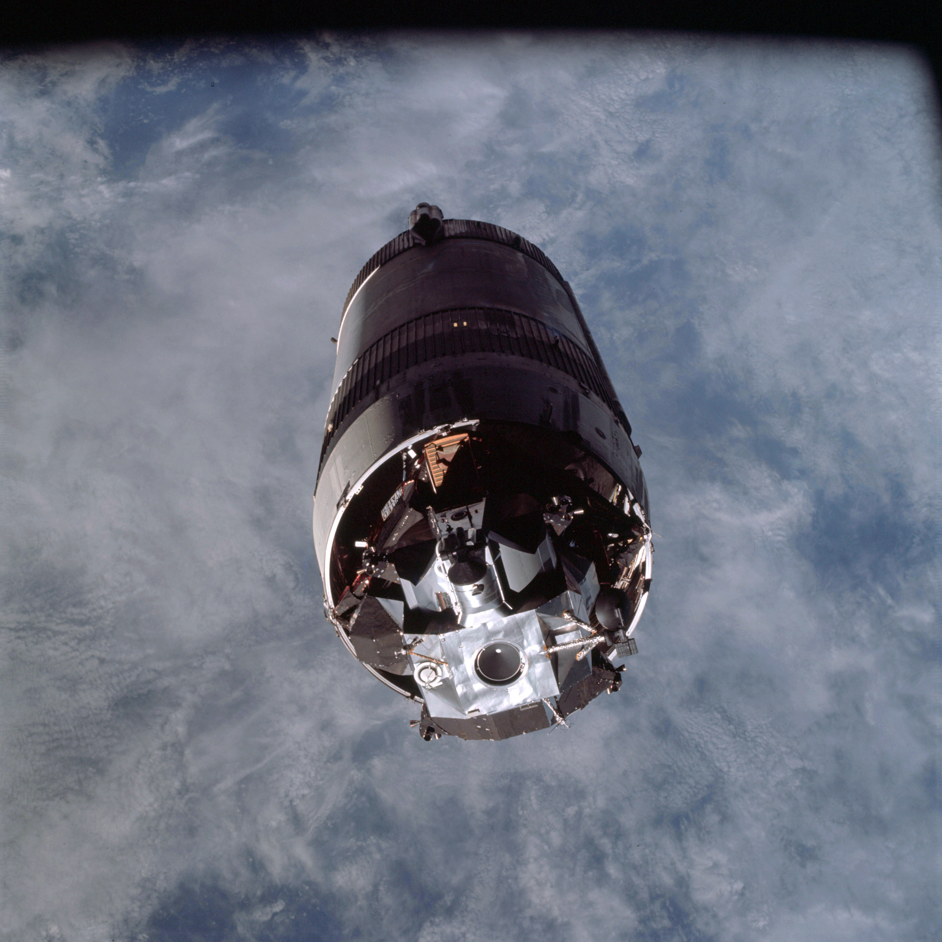 | AS09-19-2921 LM Spacecraft - top view from Command Module Image credit: Image Science and Analysis Laboratory, NASA-Johnson Space Center. |
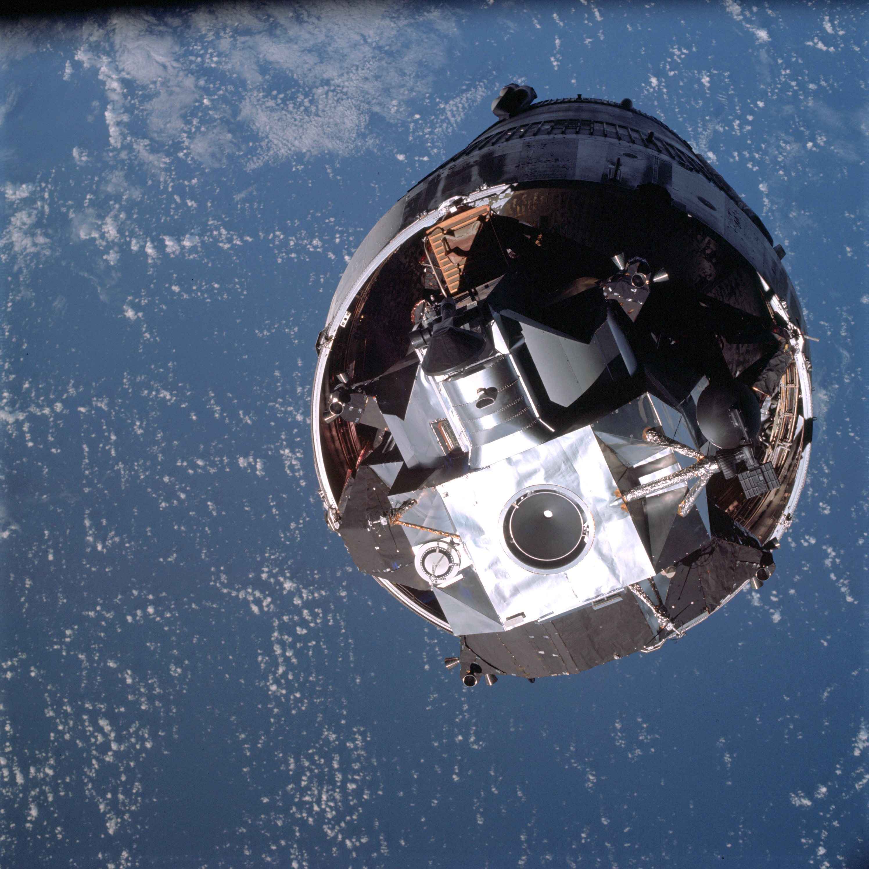 | AS09-19-2922 LM Spacecraft - top view from Command Module Image credit: Image Science and Analysis Laboratory, NASA-Johnson Space Center. |
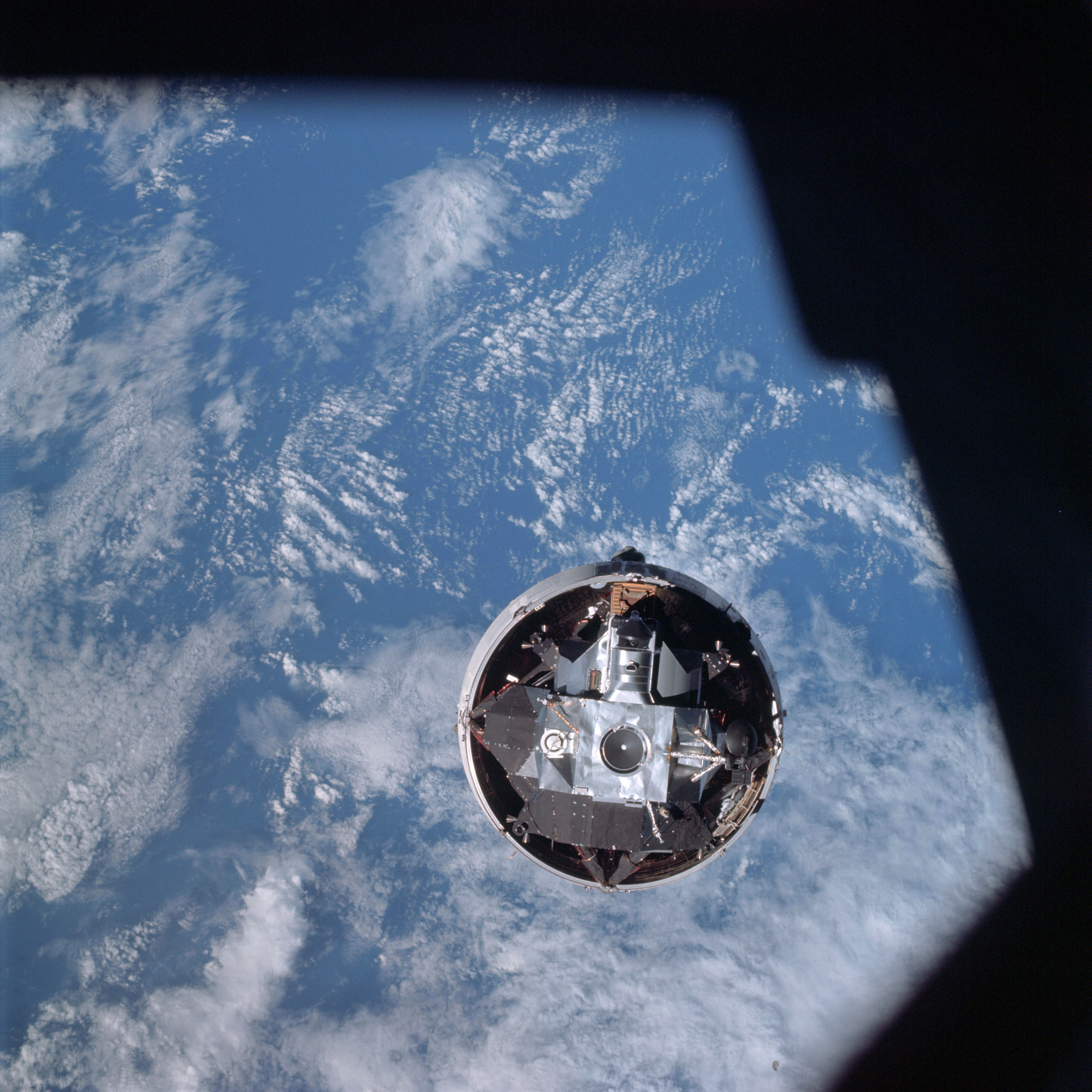 | AS09-19-2923 LM Spacecraft - top view from Command Module Image credit: Image Science and Analysis Laboratory, NASA-Johnson Space Center. |
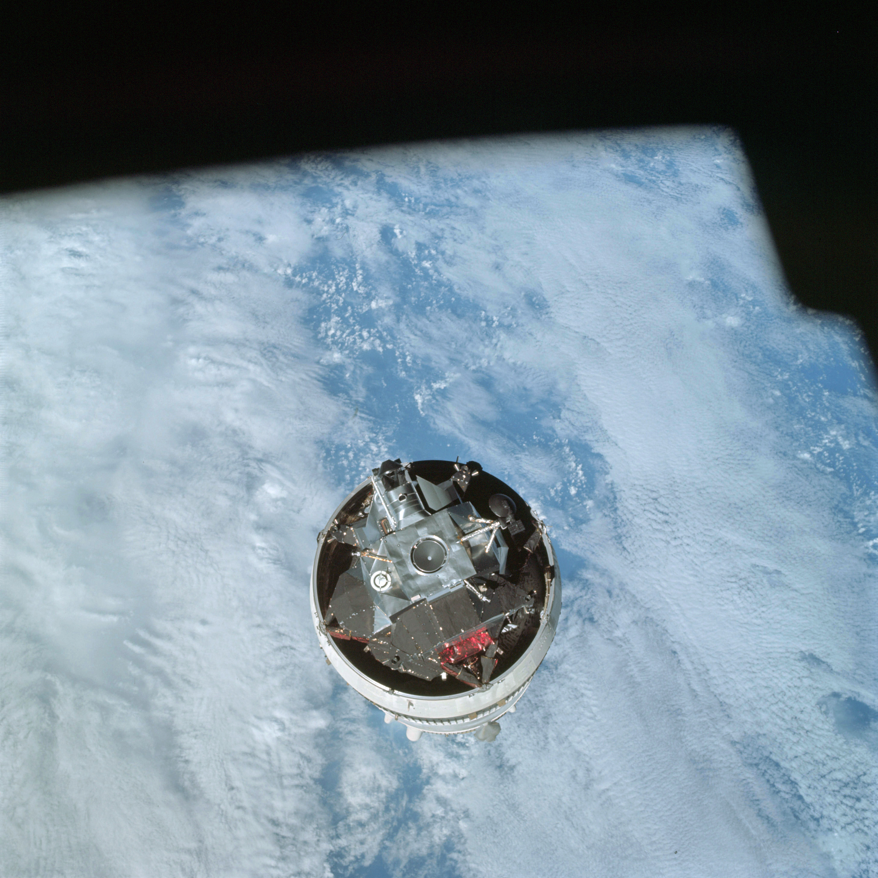 | AS09-19-2924 LM Spacecraft - top view from Command Module Image credit: Image Science and Analysis Laboratory, NASA-Johnson Space Center. |
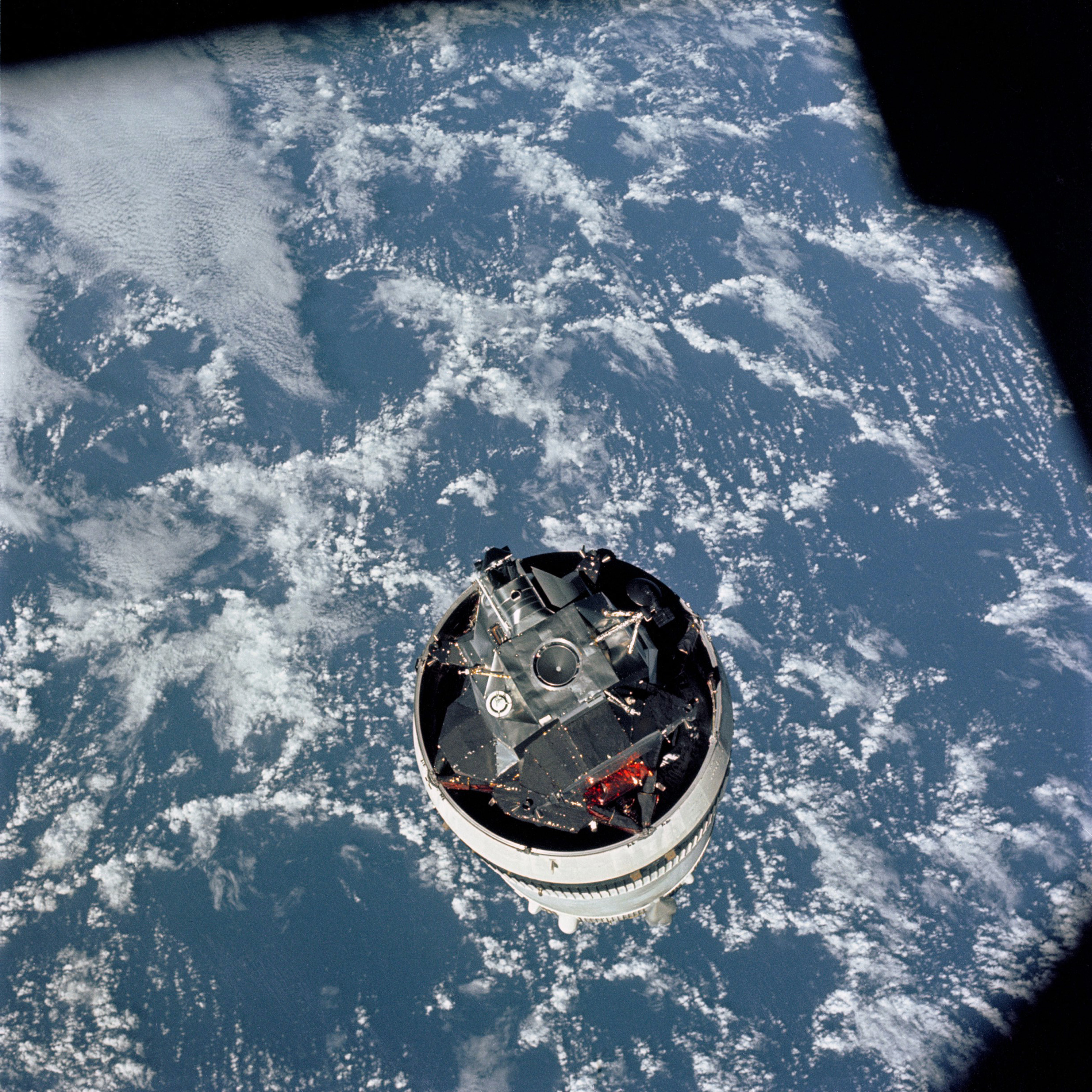 | AS09-19-2925 LM Spacecraft - top view from Command Module Image credit: Image Science and Analysis Laboratory, NASA-Johnson Space Center. |
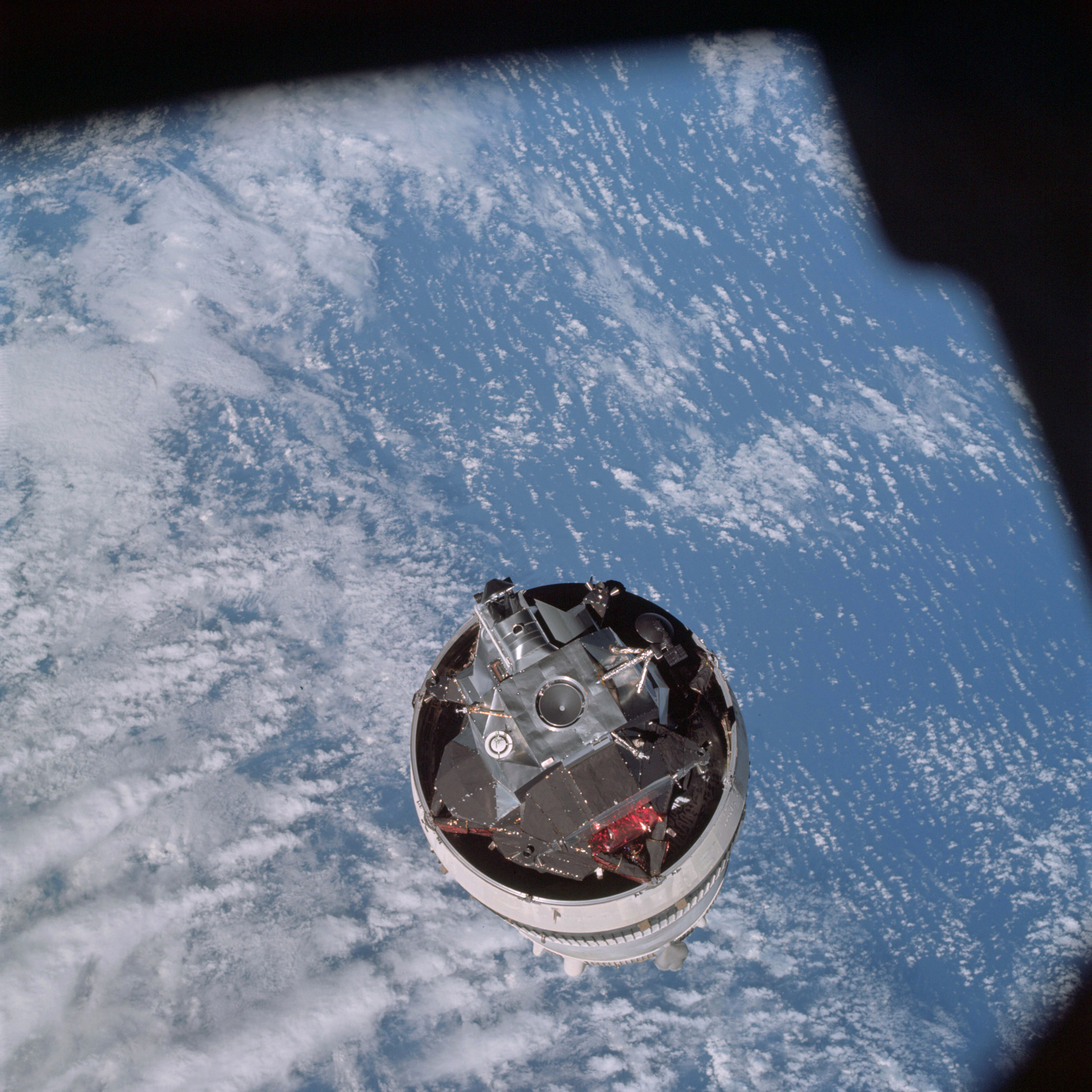 | AS09-19-2926 LM Spacecraft - top view from Command Module Image credit: Image Science and Analysis Laboratory, NASA-Johnson Space Center. |
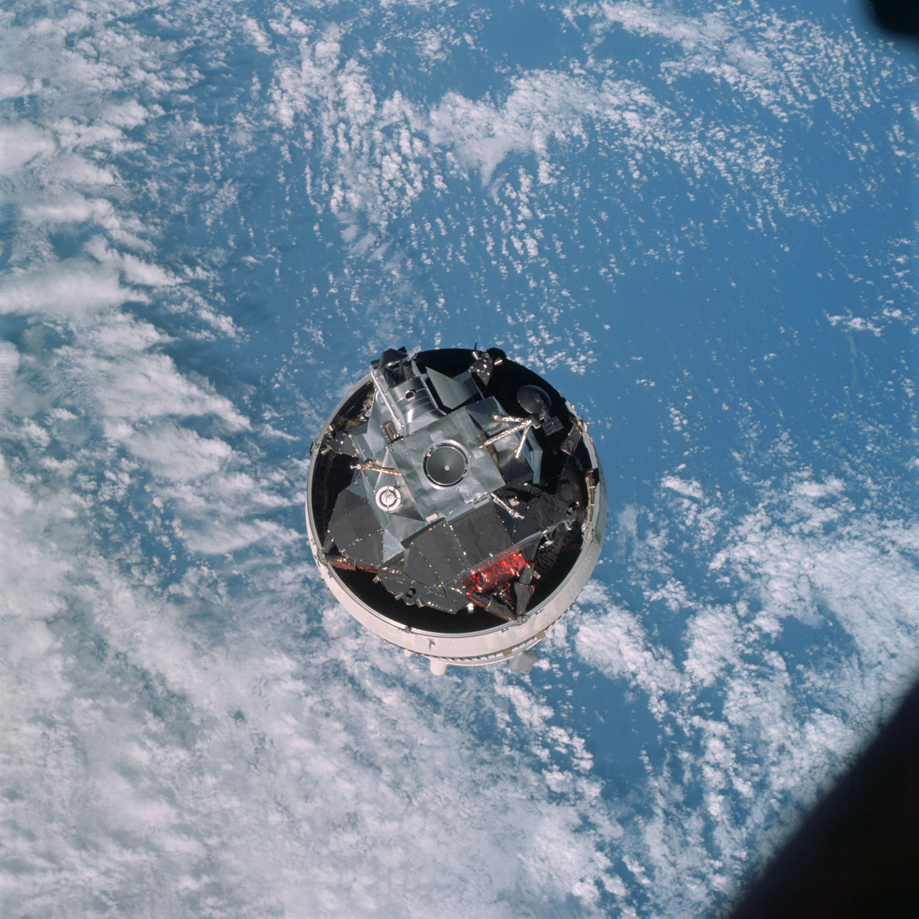 | AS09-19-2927 LM Spacecraft - top view from Command Module Image credit: Image Science and Analysis Laboratory, NASA-Johnson Space Center. |
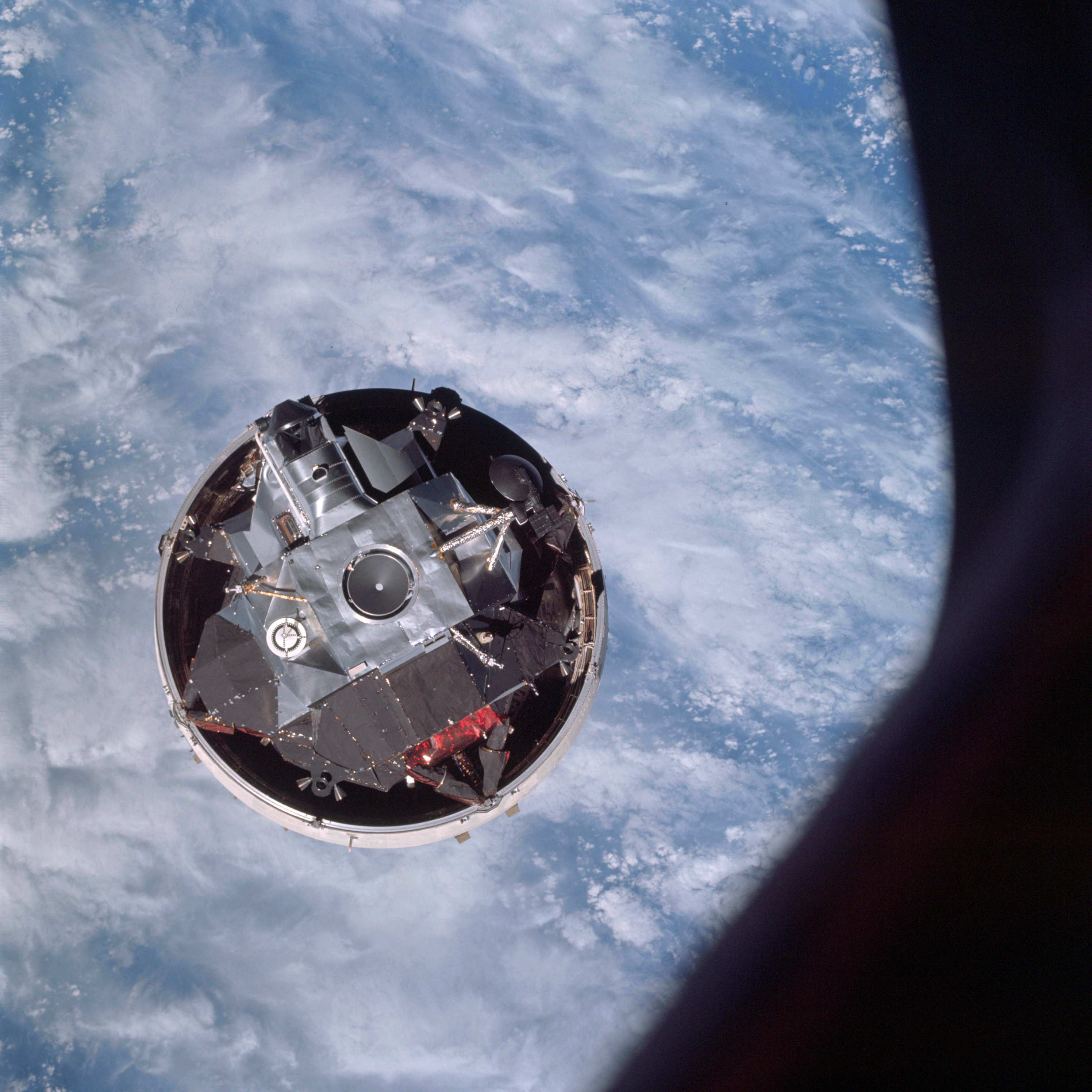 | AS09-19-2928 LM Spacecraft - top view from Command Module Image credit: Image Science and Analysis Laboratory, NASA-Johnson Space Center. |
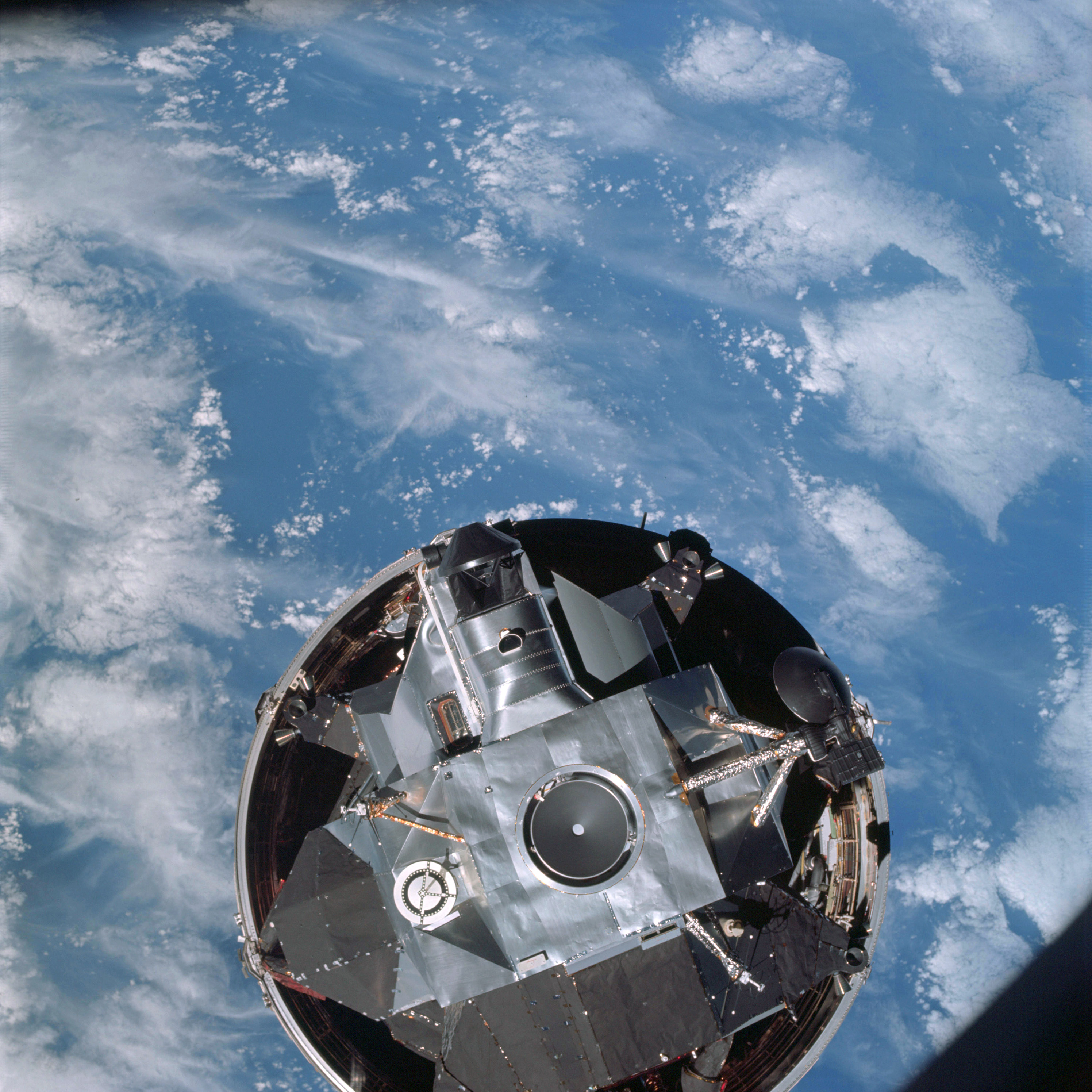 | AS09-19-2929 LM Spacecraft ascending from booster on docking rendezvous Image credit: Image Science and Analysis Laboratory, NASA-Johnson Space Center. |
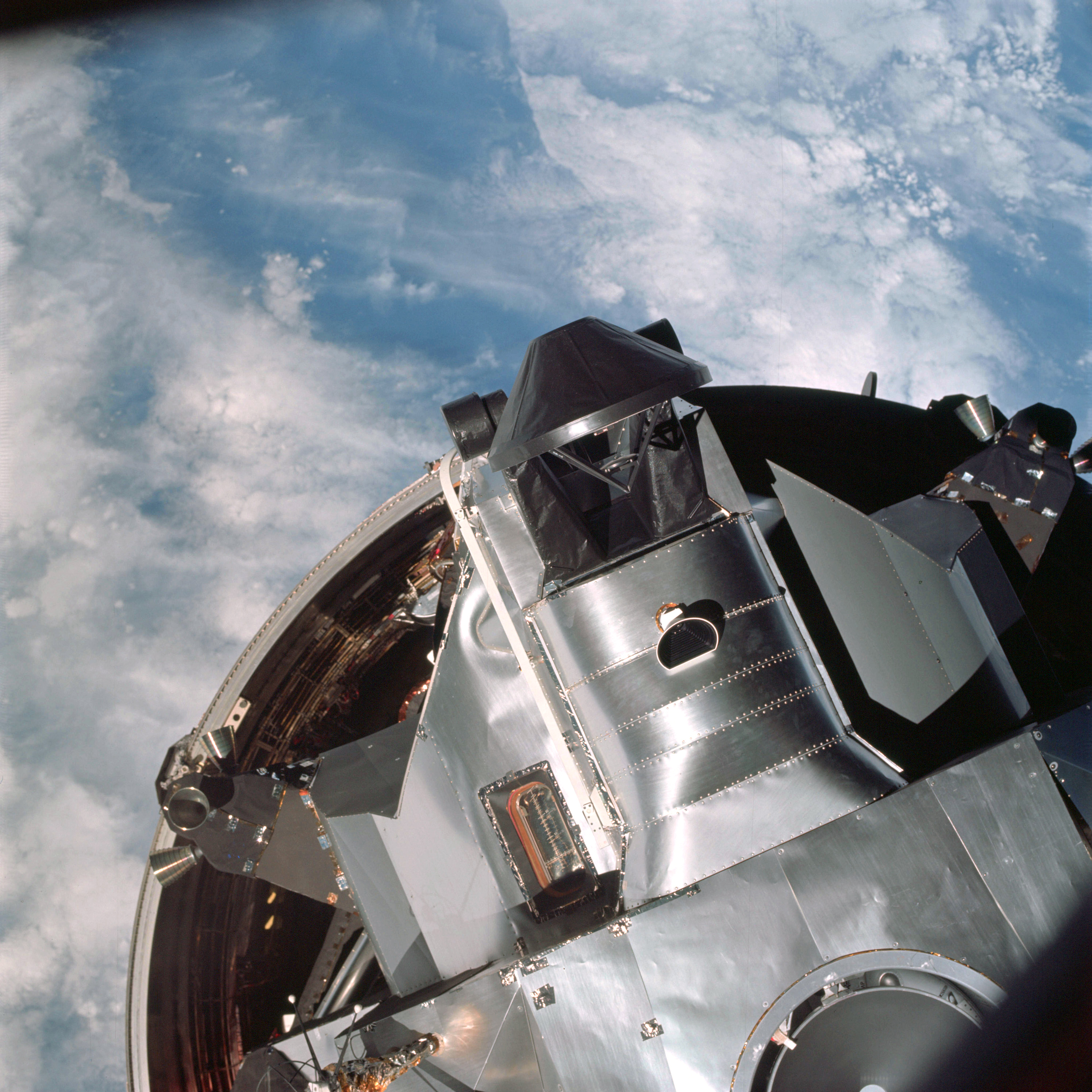 | AS09-19-2930 LM Spacecraft ascending from booster on docking rendezvous Image credit: Image Science and Analysis Laboratory, NASA-Johnson Space Center. |
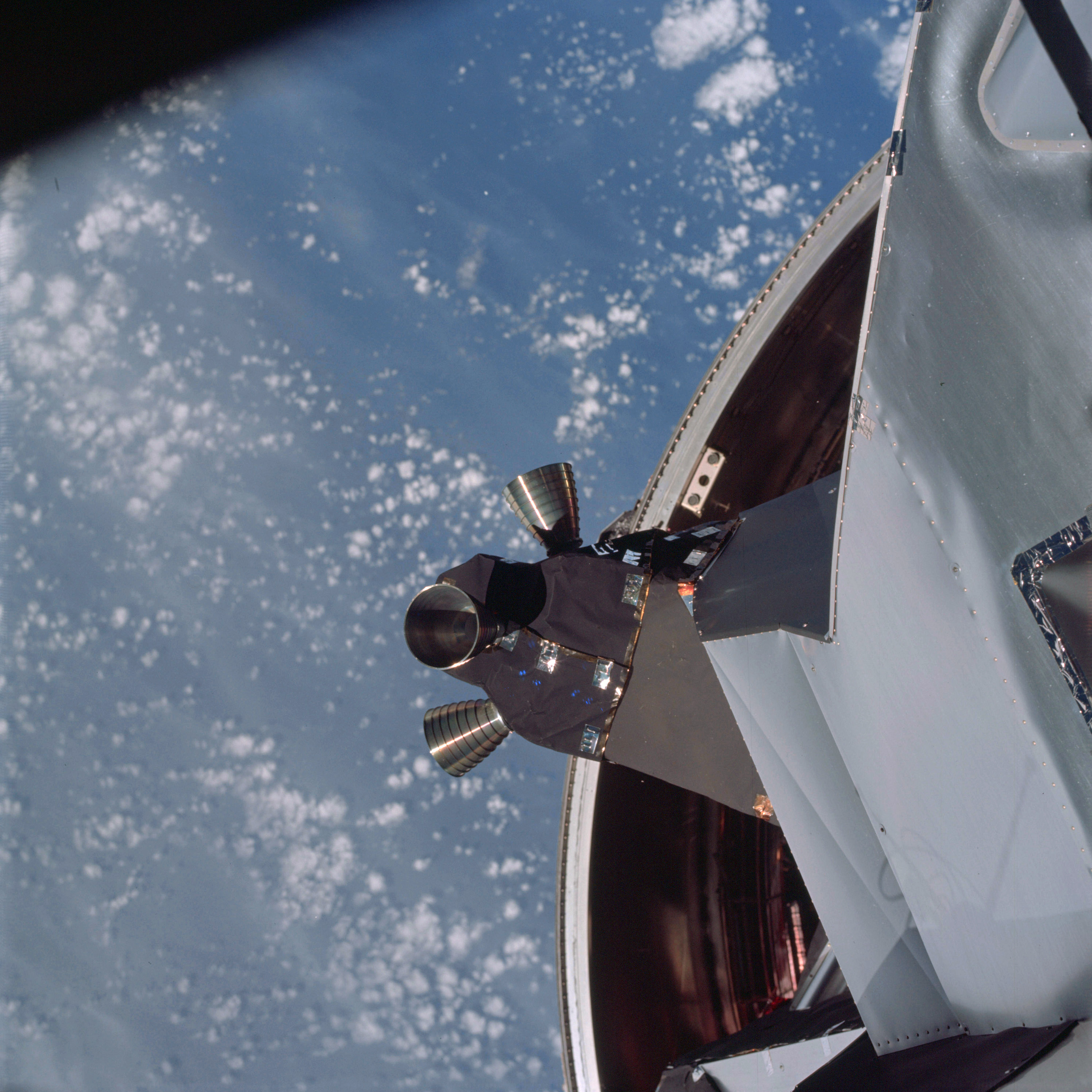 | AS09-19-2931 LM Spacecraft ascending from booster on docking rendezvous Image credit: Image Science and Analysis Laboratory, NASA-Johnson Space Center. |
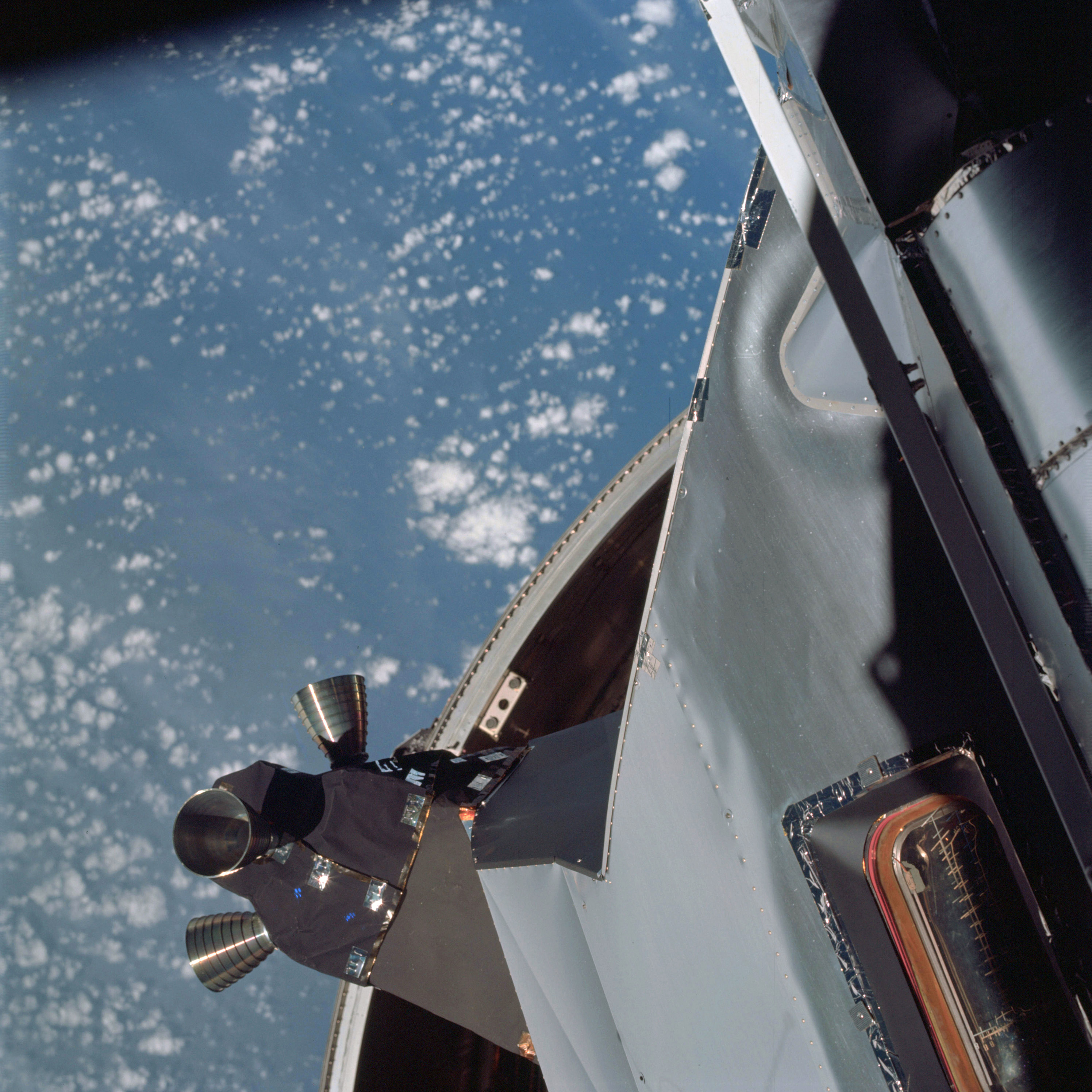 | AS09-19-2932 LM Spacecraft ascending from booster on docking rendezvous Image credit: Image Science and Analysis Laboratory, NASA-Johnson Space Center. |
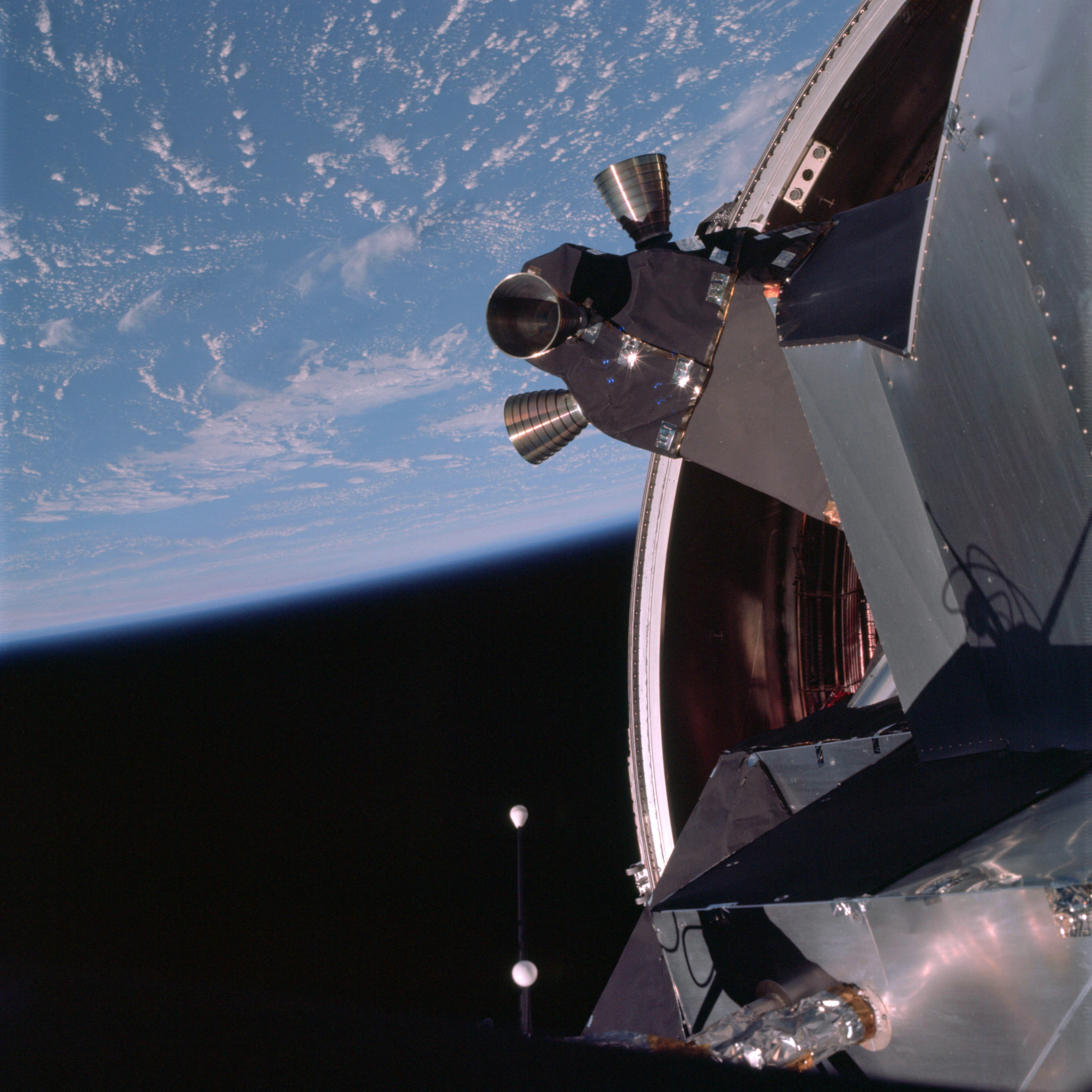 | AS09-19-2933 LM Spacecraft ascending from booster on docking rendezvous Image credit: Image Science and Analysis Laboratory, NASA-Johnson Space Center. |
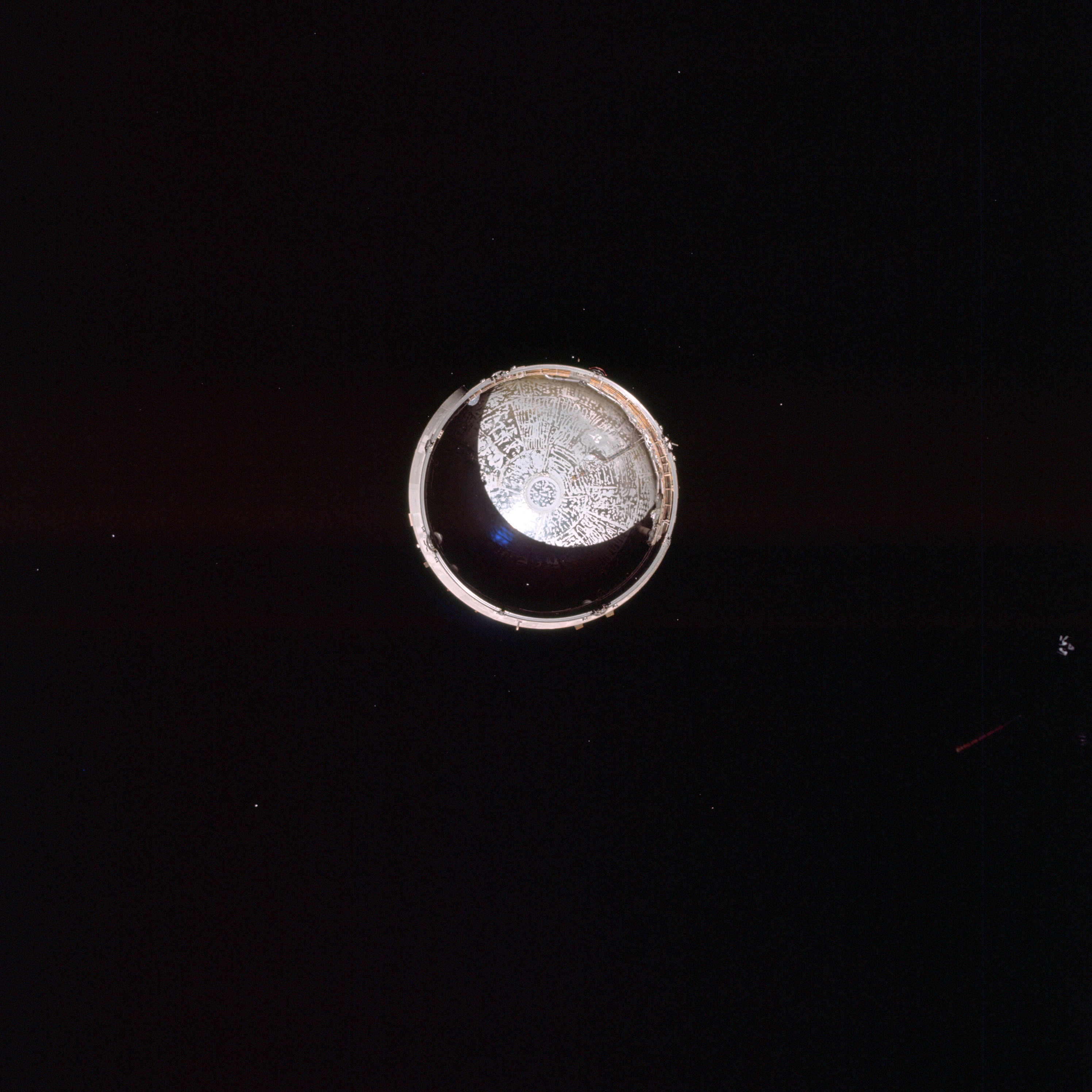 | AS09-19-2934 View of Service Module LM Adapter from Command Module Image credit: Image Science and Analysis Laboratory, NASA-Johnson Space Center. |
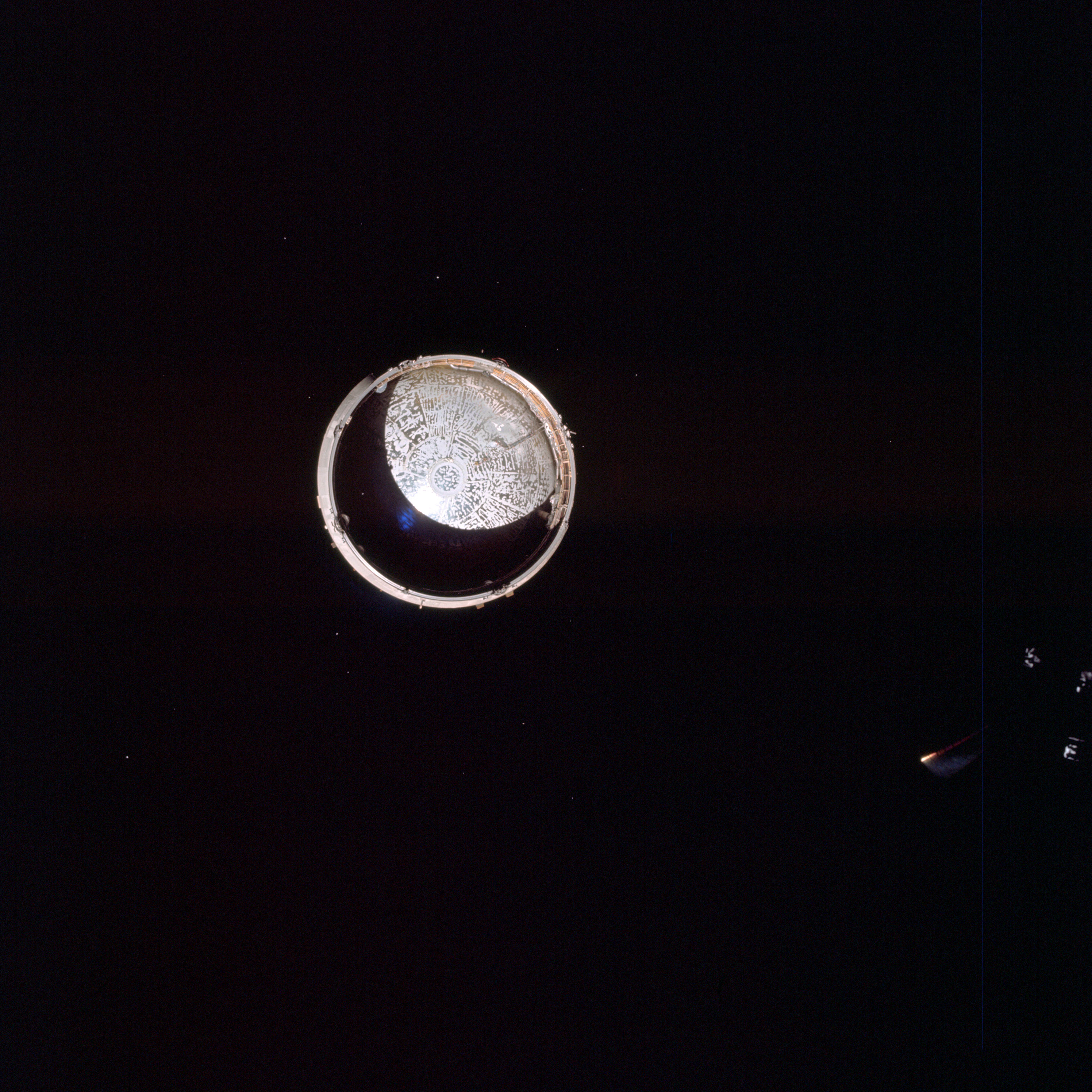 | AS09-19-2935 View of Service Module LM Adapter from Command Module Image credit: Image Science and Analysis Laboratory, NASA-Johnson Space Center. |
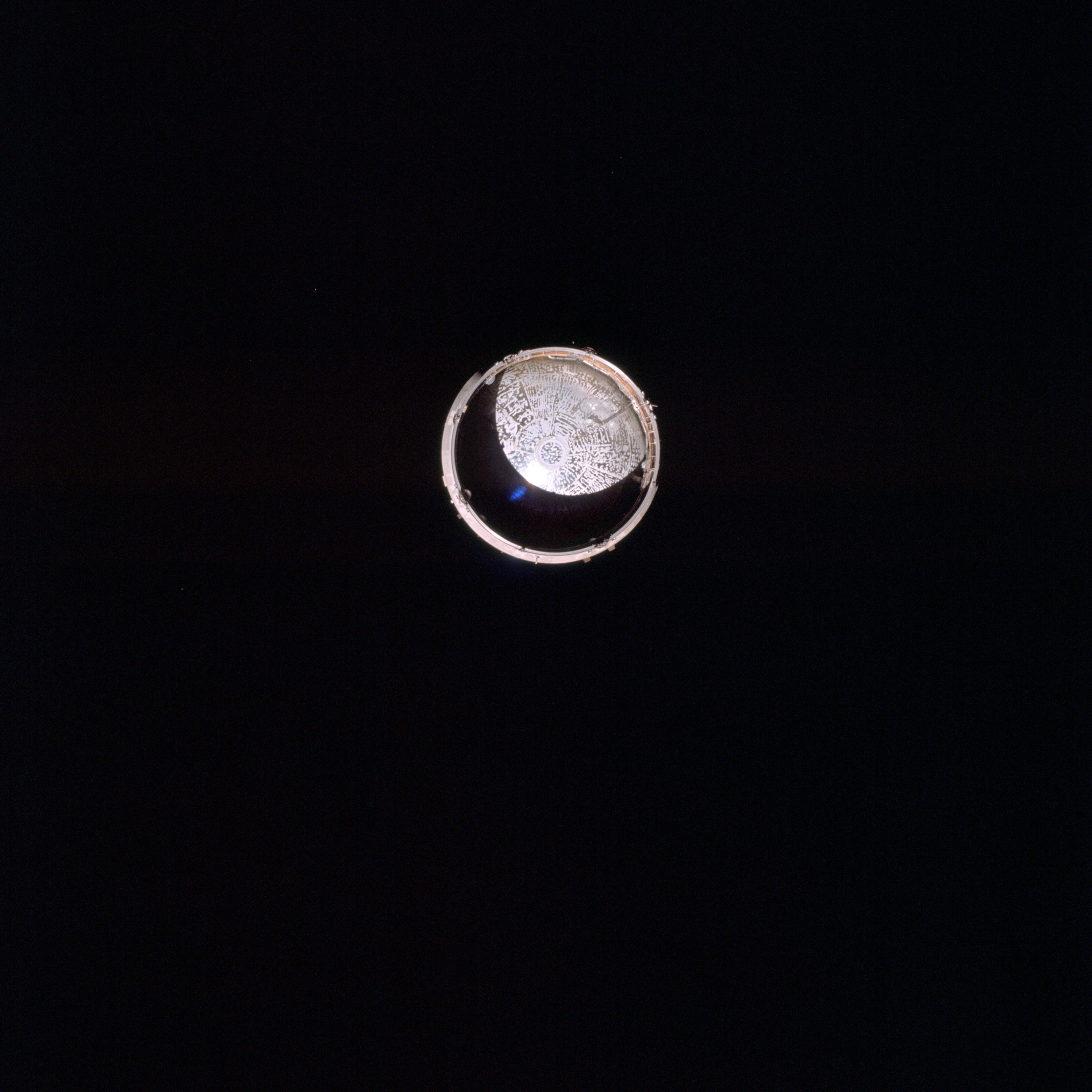 | AS09-19-2936 View of Service Module LM Adapter from Command Module Image credit: Image Science and Analysis Laboratory, NASA-Johnson Space Center. |
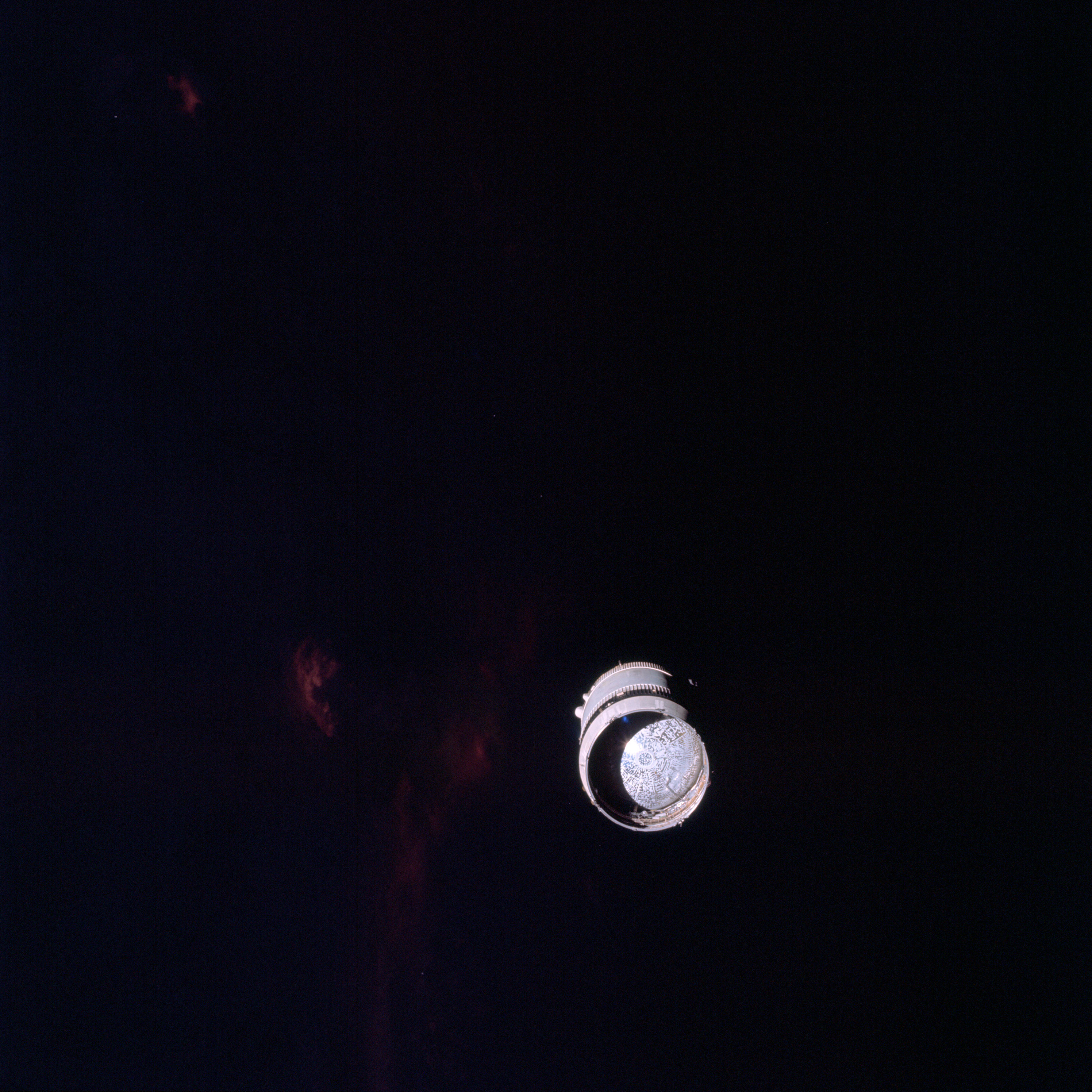 | AS09-19-2937 View of Service Module LM Adapter from Command Module Image credit: Image Science and Analysis Laboratory, NASA-Johnson Space Center. |
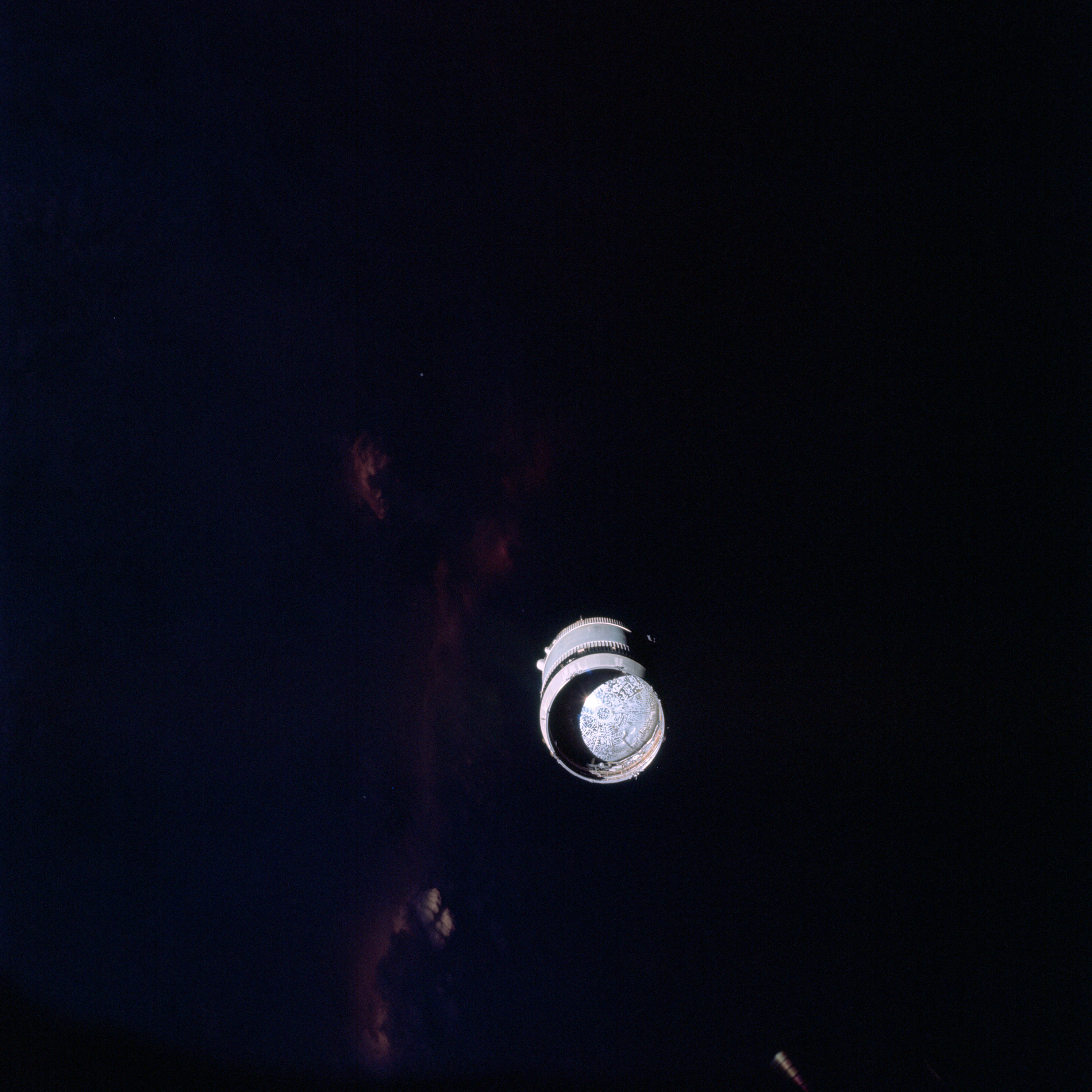 | AS09-19-2938 View of Service Module LM Adapter from Command Module Image credit: Image Science and Analysis Laboratory, NASA-Johnson Space Center. |
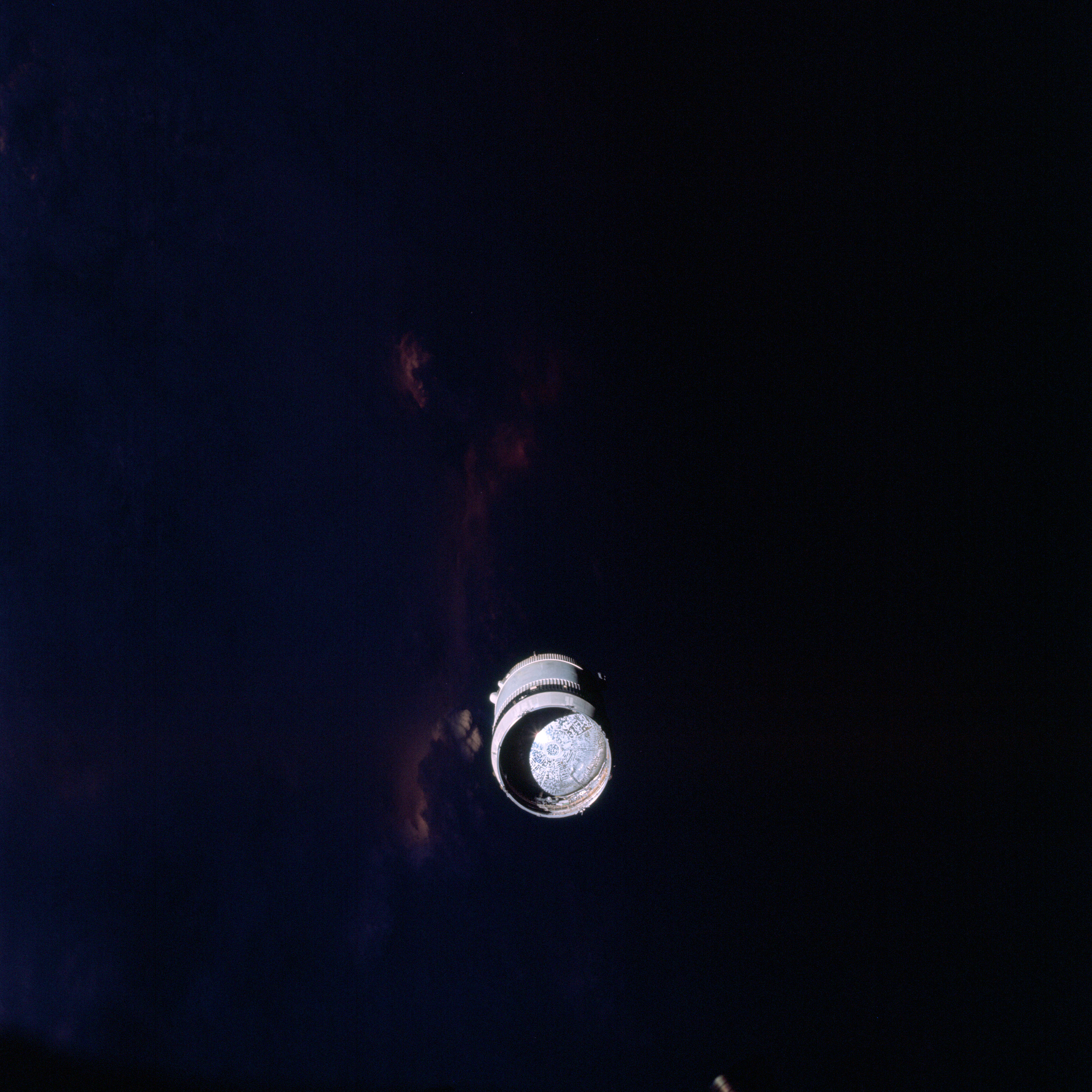 | AS09-19-2939 View of Service Module LM Adapter from Command Module Image credit: Image Science and Analysis Laboratory, NASA-Johnson Space Center. |
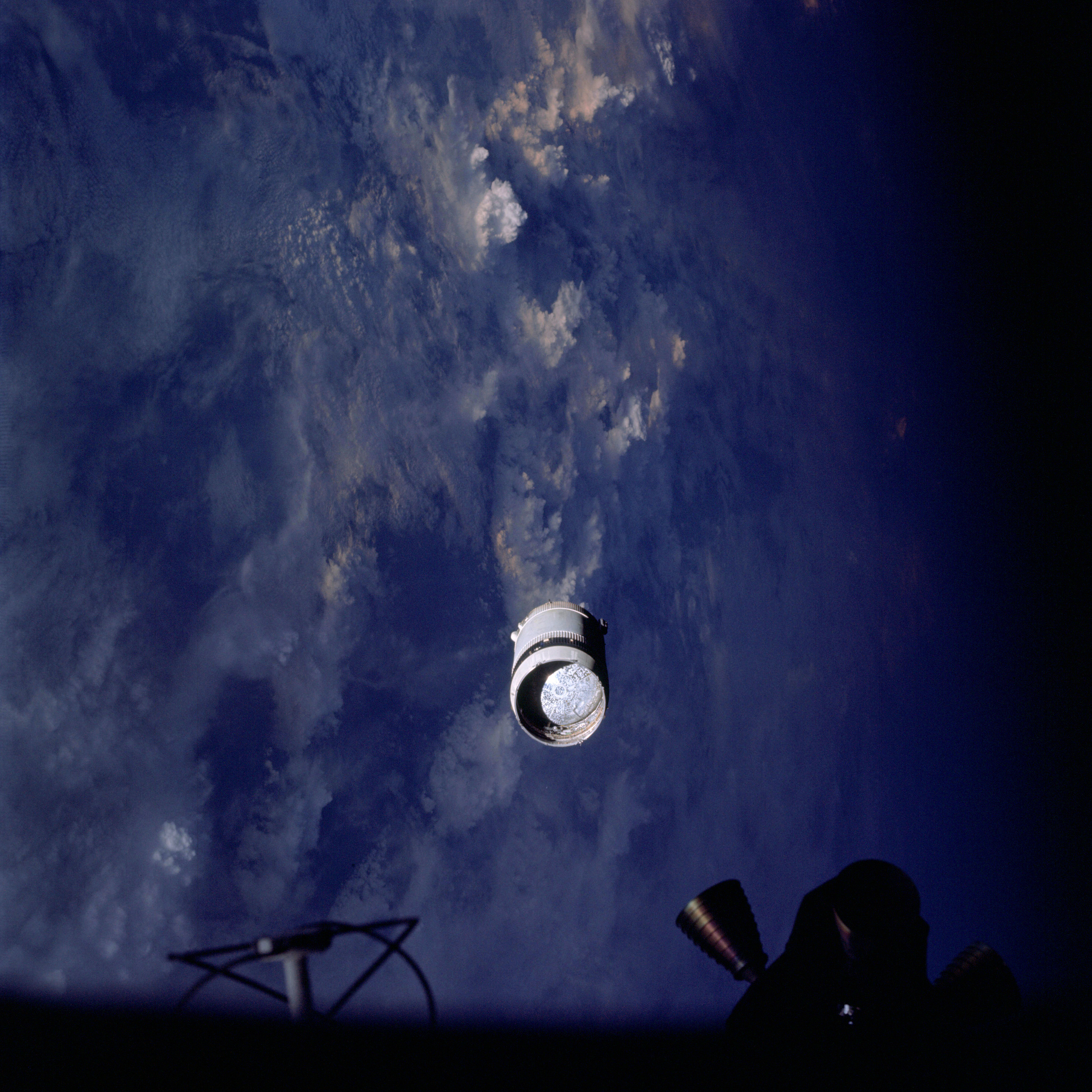 | AS09-19-2940 View of Service Module LM Adapter from Command Module Image credit: Image Science and Analysis Laboratory, NASA-Johnson Space Center. |
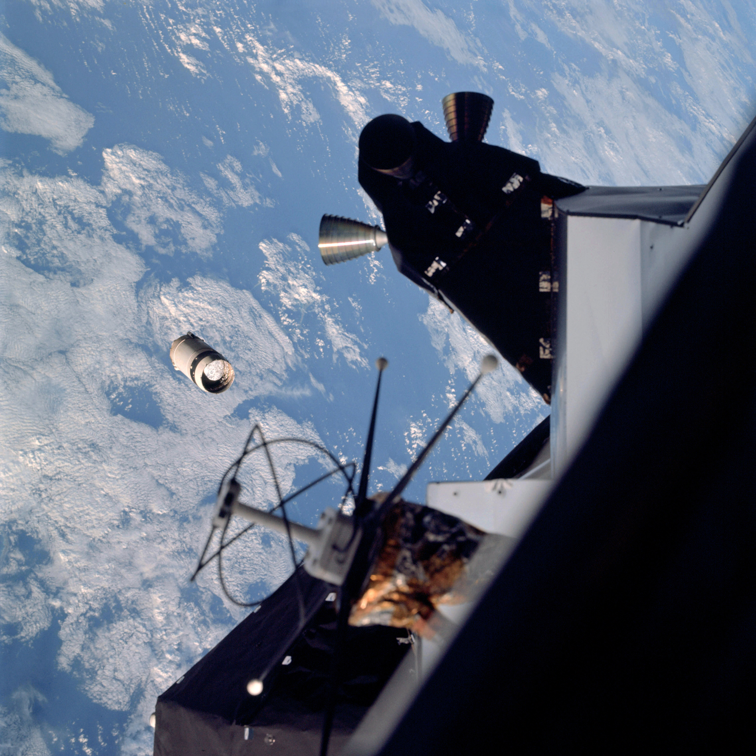 | AS09-19-2941 LM Spacecraft and Service Module LM adapter Image credit: Image Science and Analysis Laboratory, NASA-Johnson Space Center. |
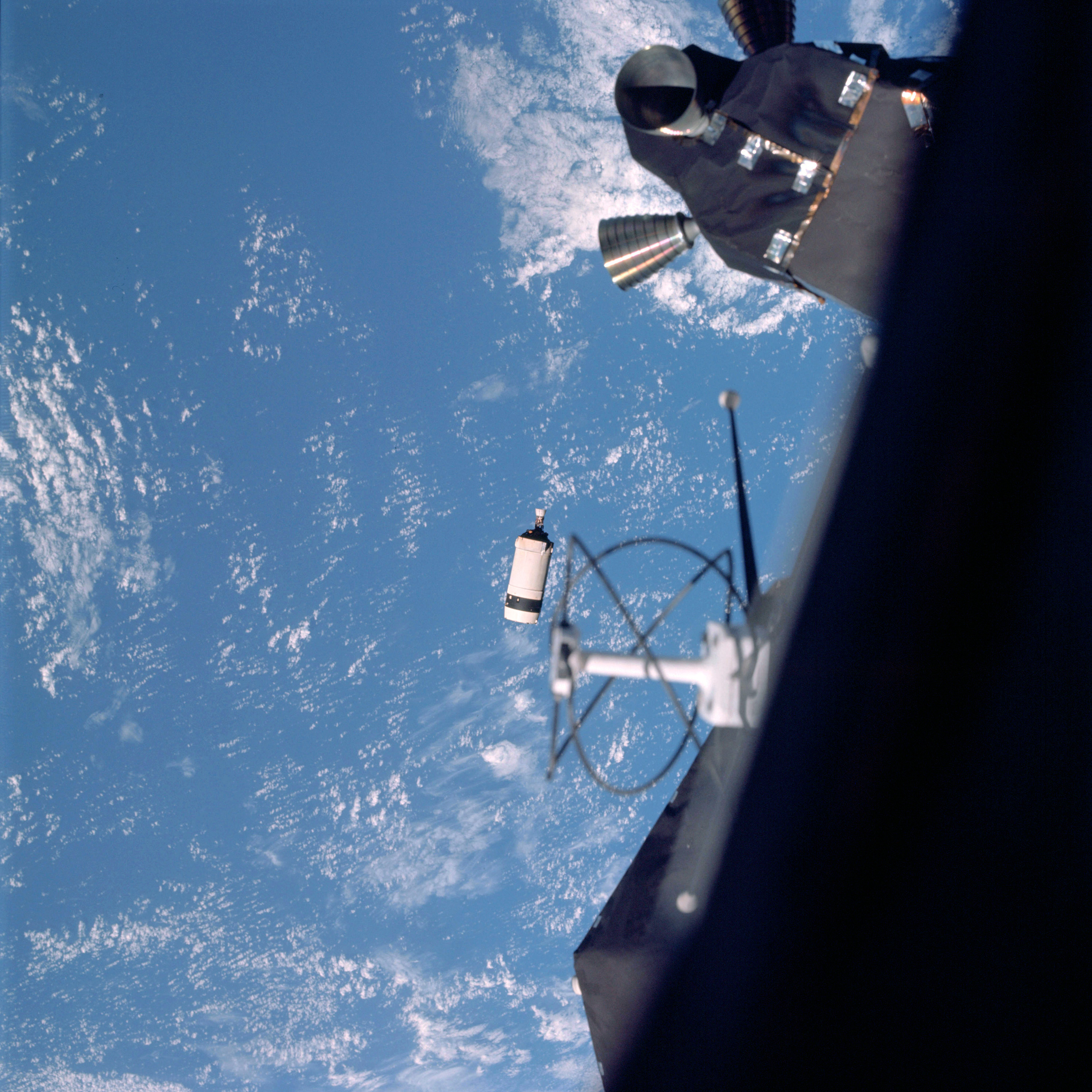 | AS09-19-2942 LM Spacecraft and Service Module LM Adapter Image credit: Image Science and Analysis Laboratory, NASA-Johnson Space Center. |
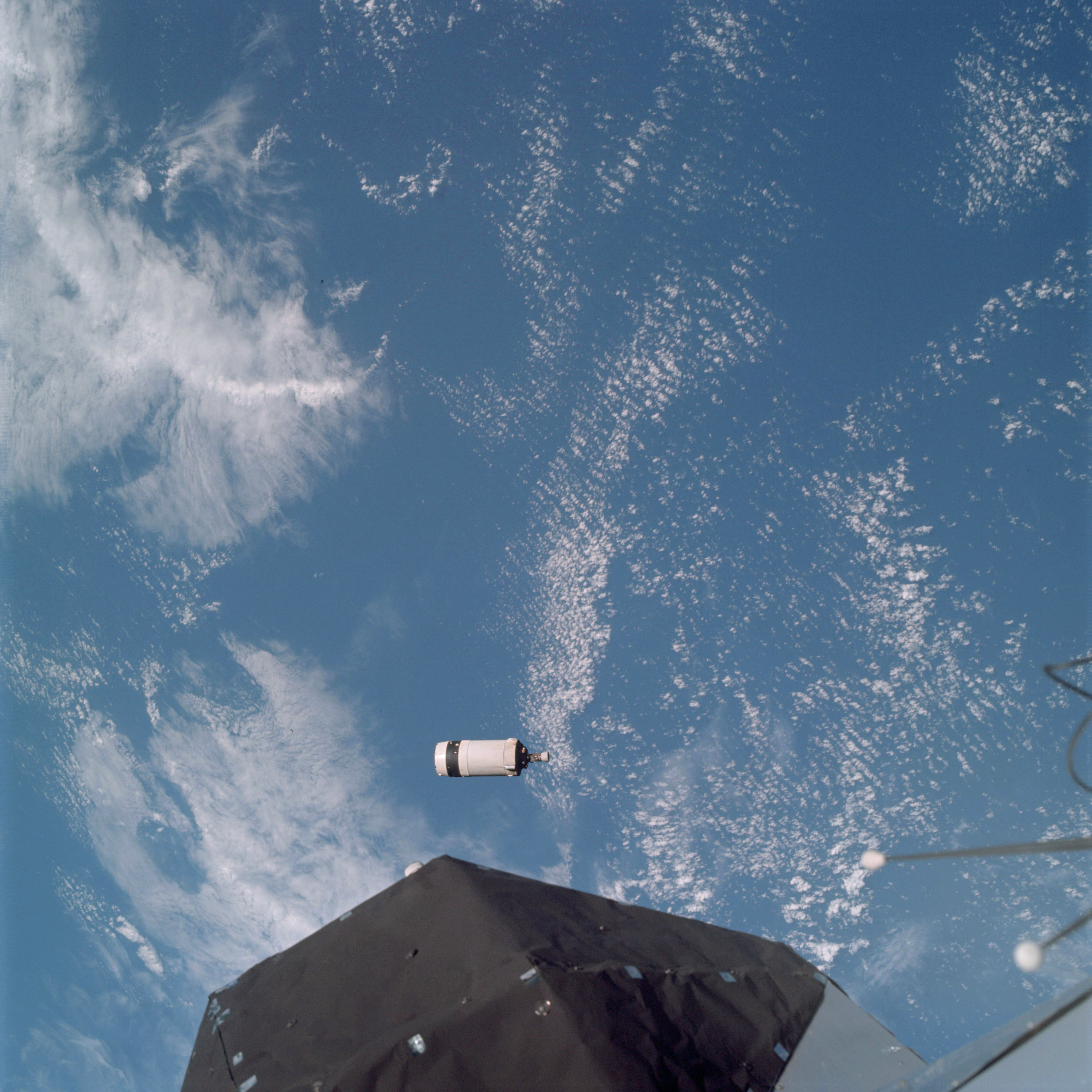 | AS09-19-2943 LM Spacecraft and Service Module LM adapter Image credit: Image Science and Analysis Laboratory, NASA-Johnson Space Center. |
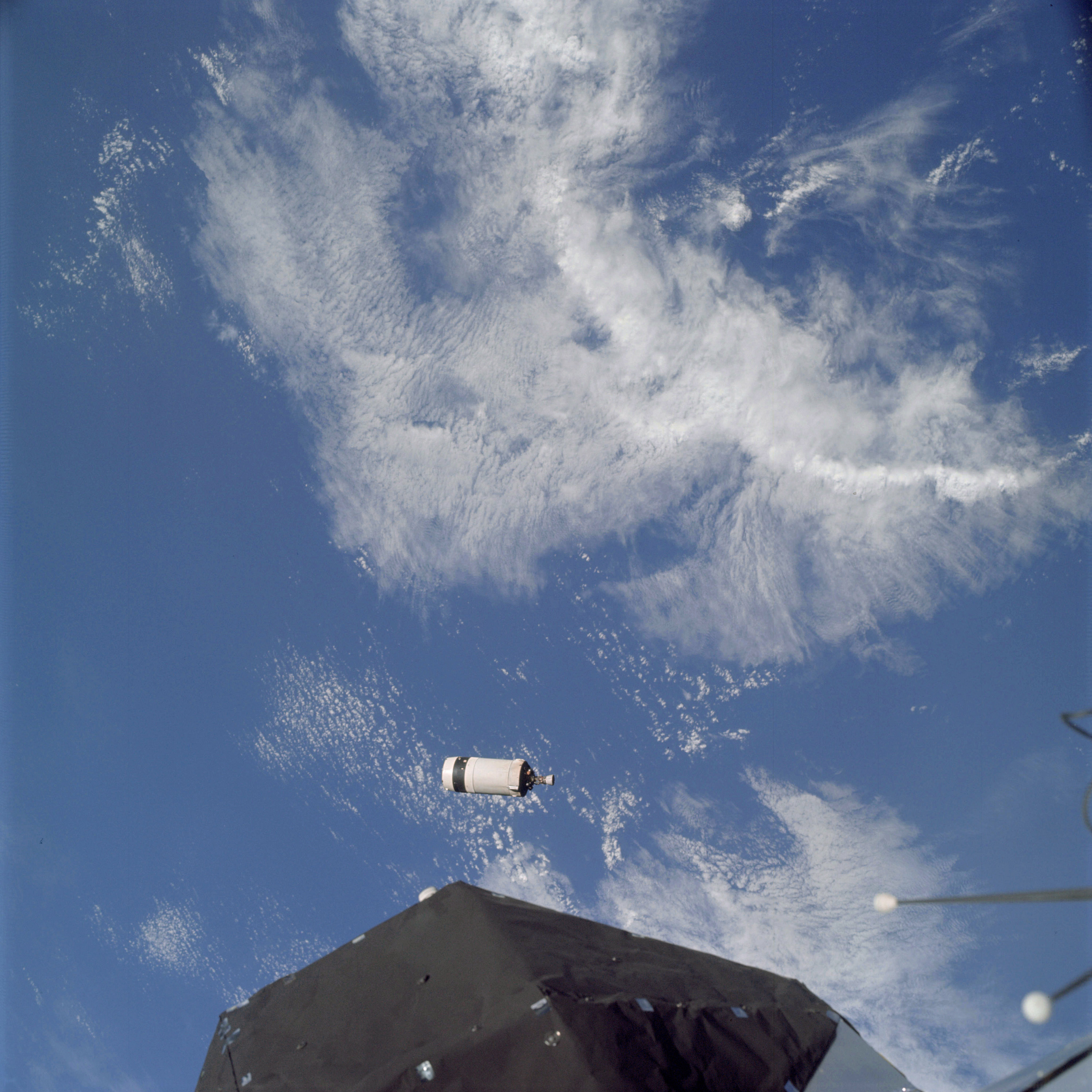 | AS09-19-2944 LM Spacecraft and Service Module LM adapter Image credit: Image Science and Analysis Laboratory, NASA-Johnson Space Center. |
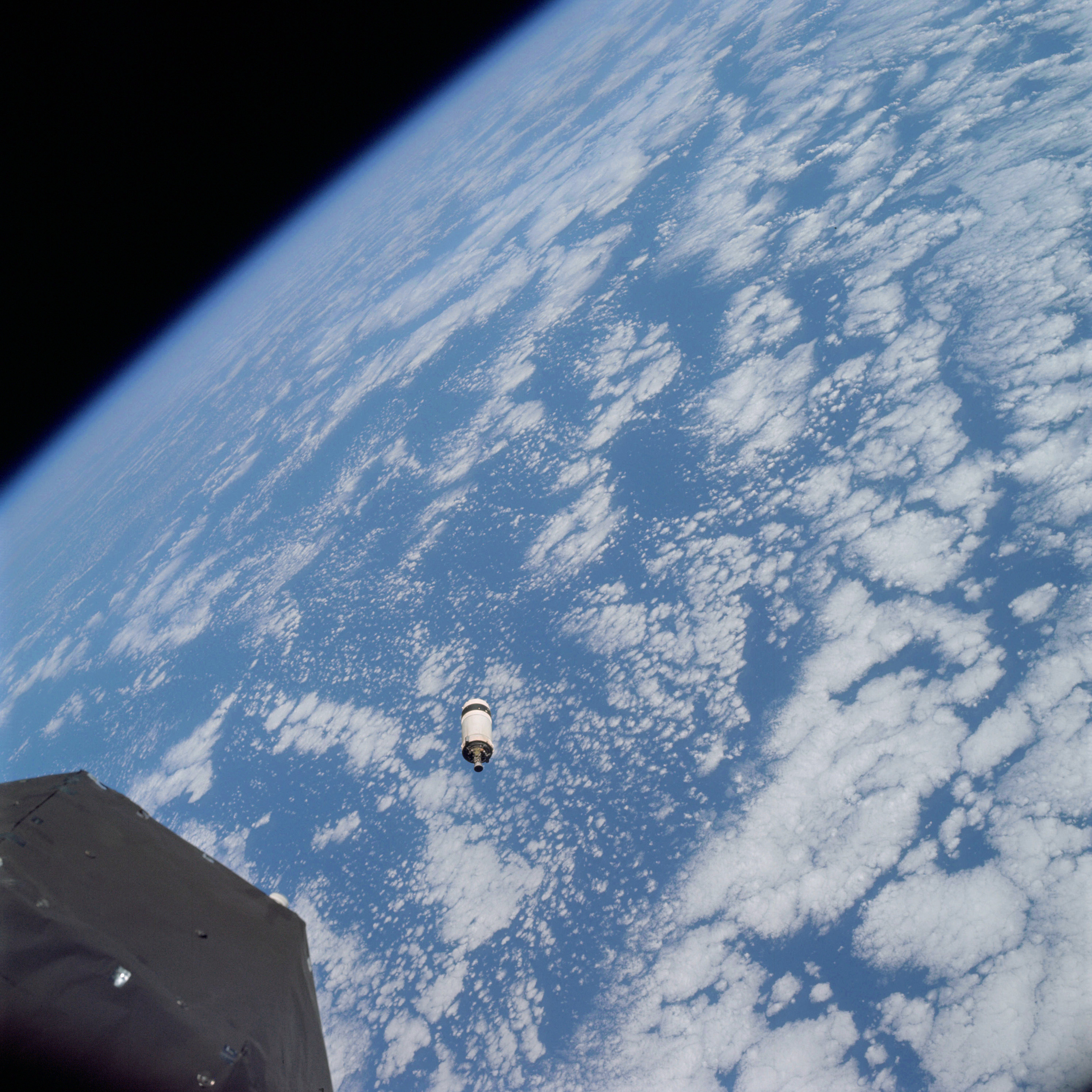 | AS09-19-2945 Service Module LM Adapter (S.L.A.) over eastern Pacific Image credit: Image Science and Analysis Laboratory, NASA-Johnson Space Center. |
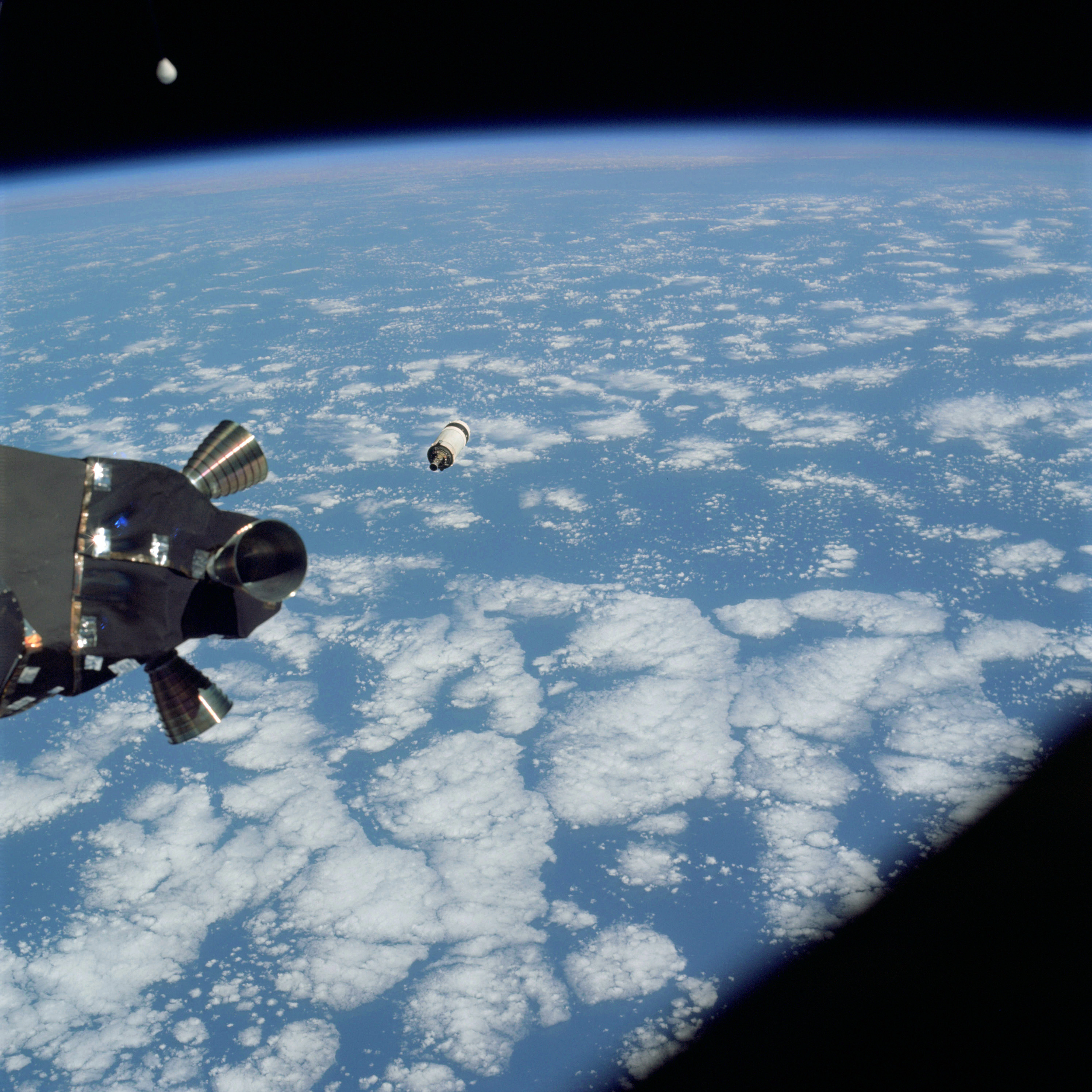 | AS09-19-2946 Service Module LM Adapter (S.L.A.) over eastern Pacific Image credit: Image Science and Analysis Laboratory, NASA-Johnson Space Center. |
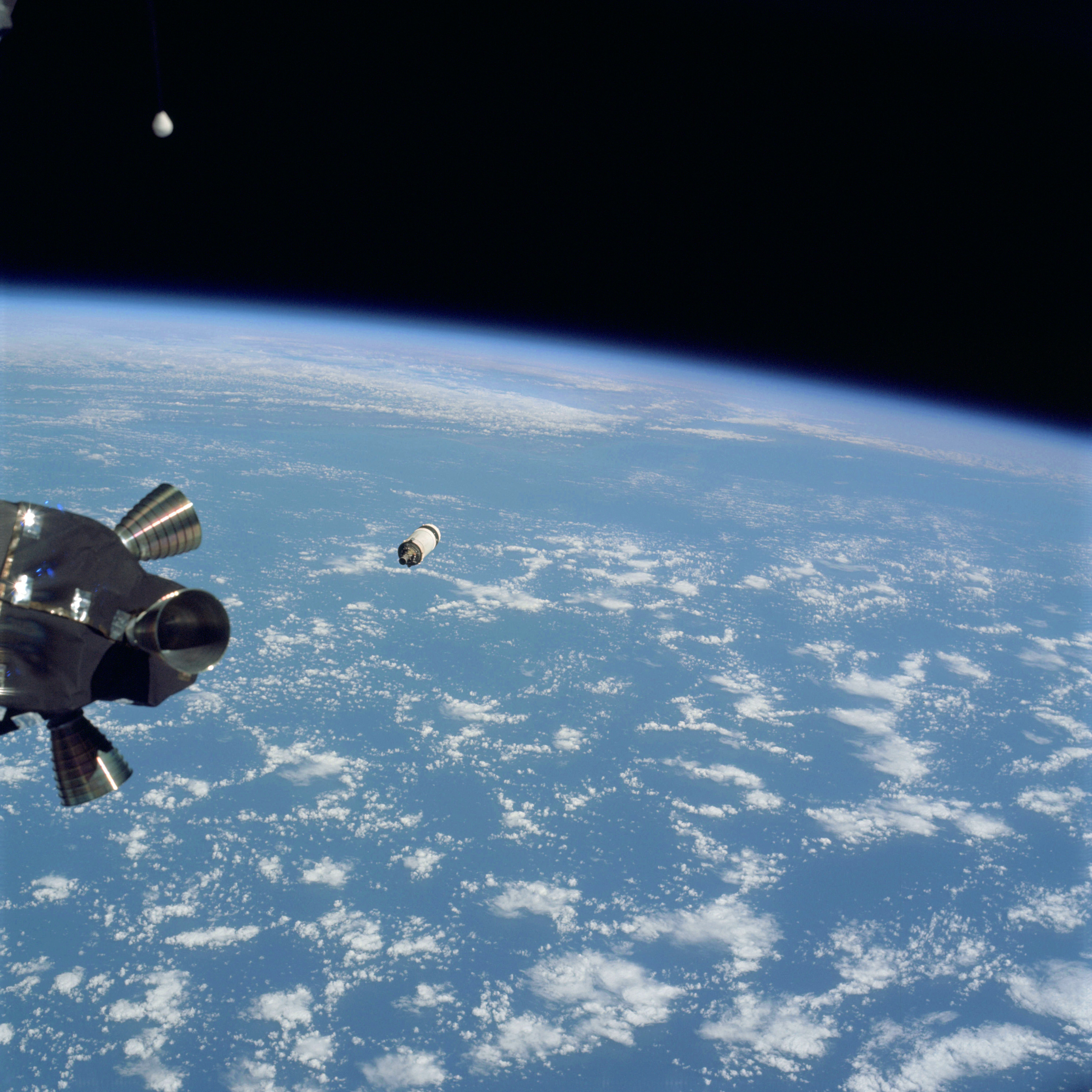 | AS09-19-2947 Service Module LM Adapter (S.L.A.) over eastern Pacific Image credit: Image Science and Analysis Laboratory, NASA-Johnson Space Center. |
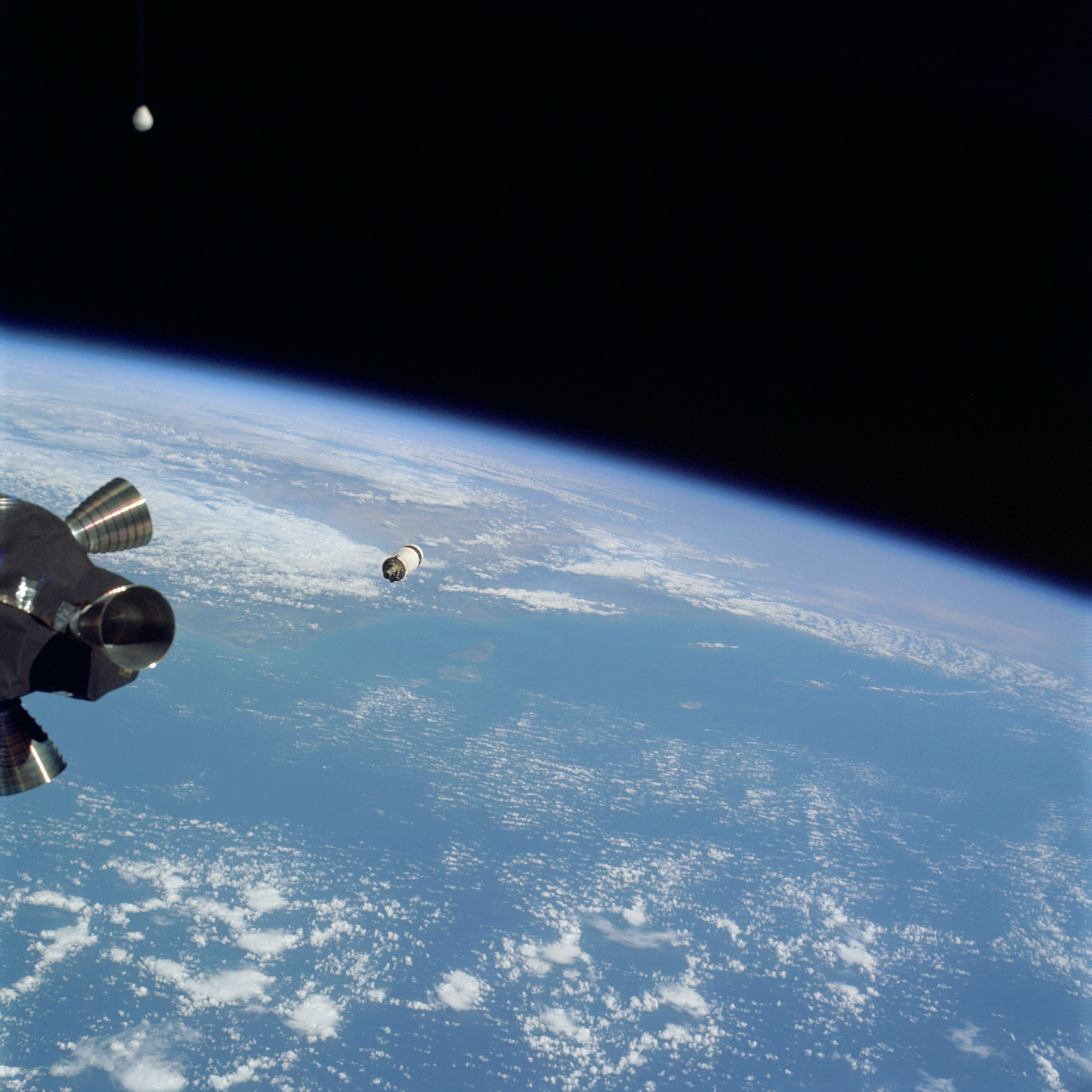 | AS09-19-2948 GEOGRAPHY/CARTOGRAPHY: Oblique view of southern California coast, Channel Islands, S.L.A., Pacific Ocean. GEOLOGY/HYDROLOGY: Complex mountain range. METEOROLOGY: Cumulus humilis, cumulus congestus. Image credit: Image Science and Analysis Laboratory, NASA-Johnson Space Center. |
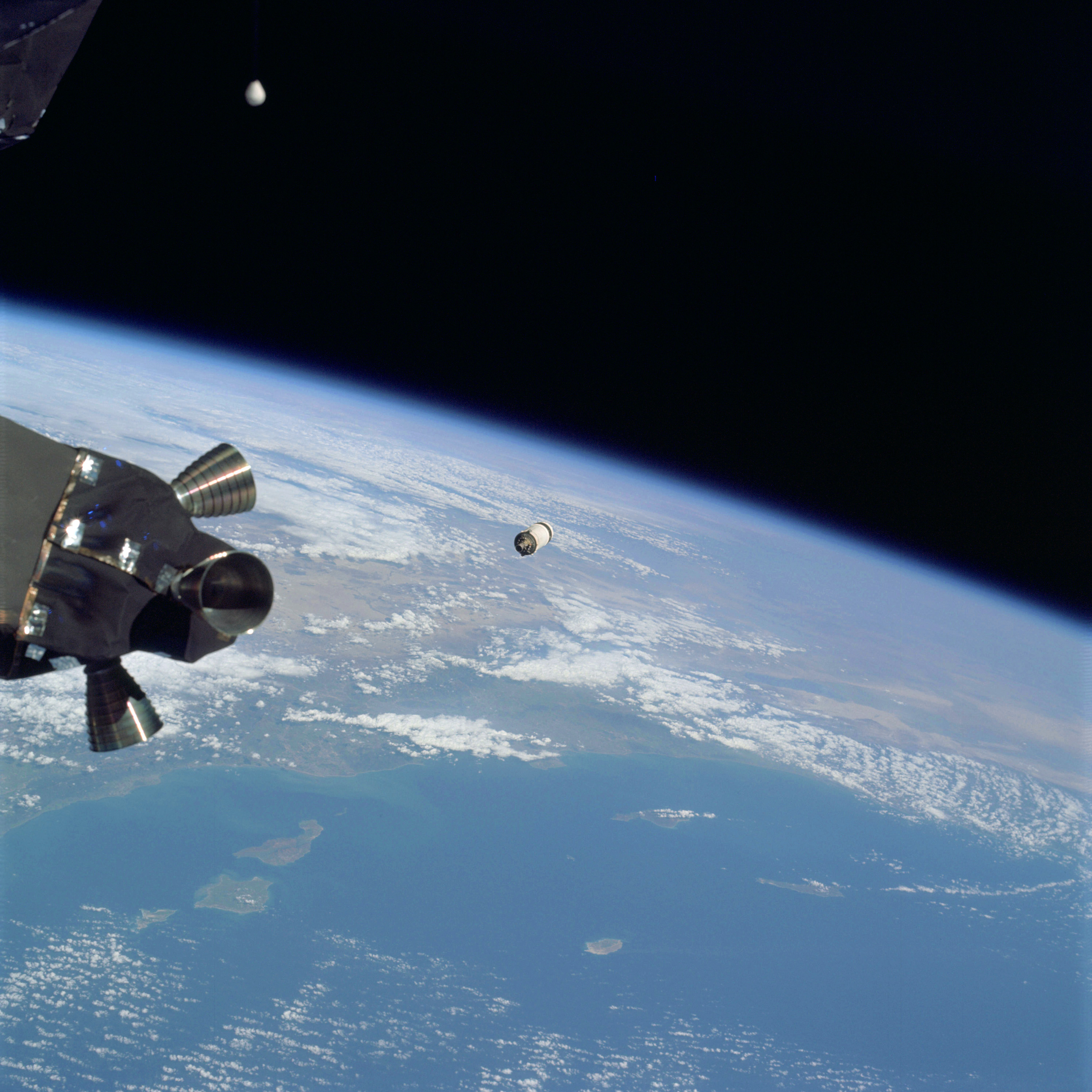 | AS09-19-2949 GEOGRAPHY/CARTOGRAPHY: Oblique view of southern California, Channel Islands, Salton Sea, Imperial Valley, Los Angeles Metropolitan Area, and S.L.A. GEOLOGY /HYDROLOGY: Complex mountain range. METEOROLOGY: Cumulus humilis, cumulus congestus. OCEANOGRAPHY: Pacific Ocean, water color variation in nearshore zone. Image credit: Image Science and Analysis Laboratory, NASA-Johnson Space Center. |
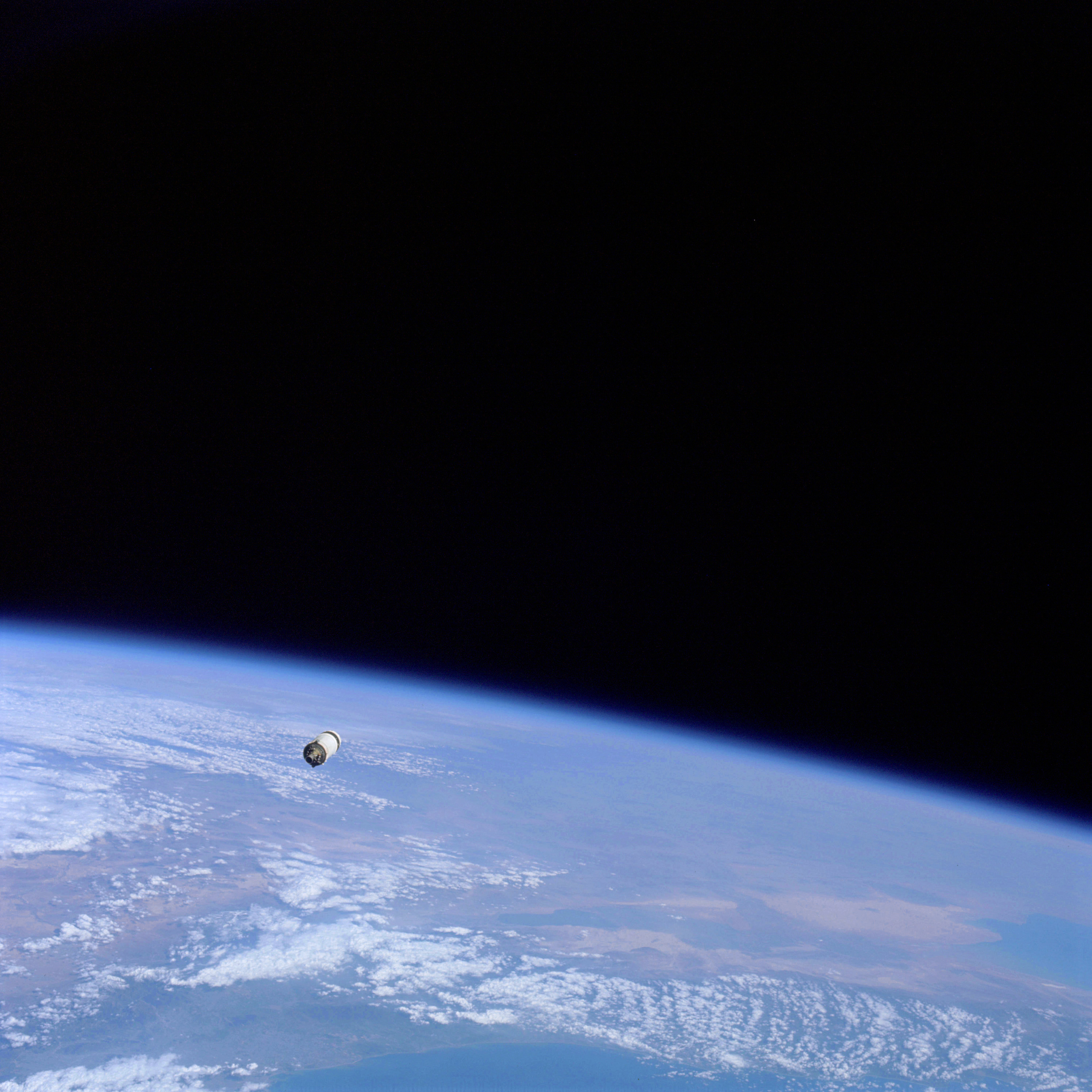 | AS09-19-2950 GEOGRAPHY/CARTOGRAPHY: Oblique view of southern California, Arizona, and northern Mexico, Salton Sea, Imperial Valley, Colorado River Delta, and S.L.A. GEOLOGY/HYDROLOGY: Complex mountains and alluvial deposits. METEOROLOGY: Cumulus humilis, cumulus congestus. OCEANOGRAPHY: Pacific Ocean, water color variation in nearshore zone Image credit: Image Science and Analysis Laboratory, NASA-Johnson Space Center. |
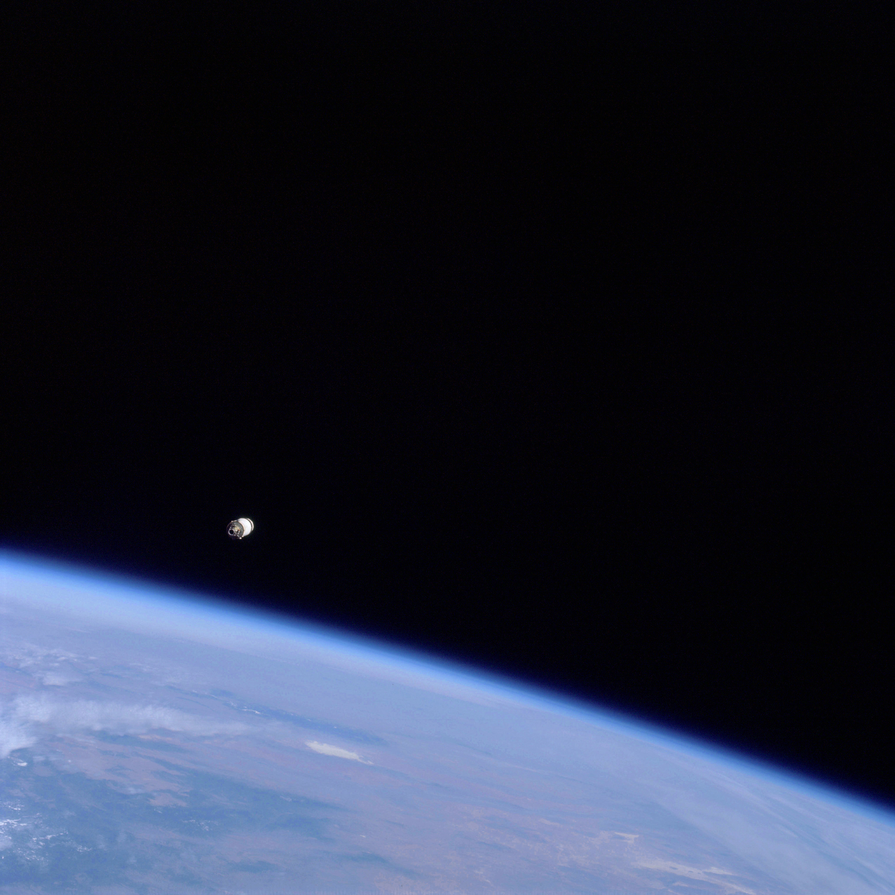 | AS09-19-2951 GEOGRAPHY/CARTOGRAPHY: Oblique view of south western United States, and S.L.A. METEOROLOGY: Cirro-cumulus . Image credit: Image Science and Analysis Laboratory, NASA-Johnson Space Center. |
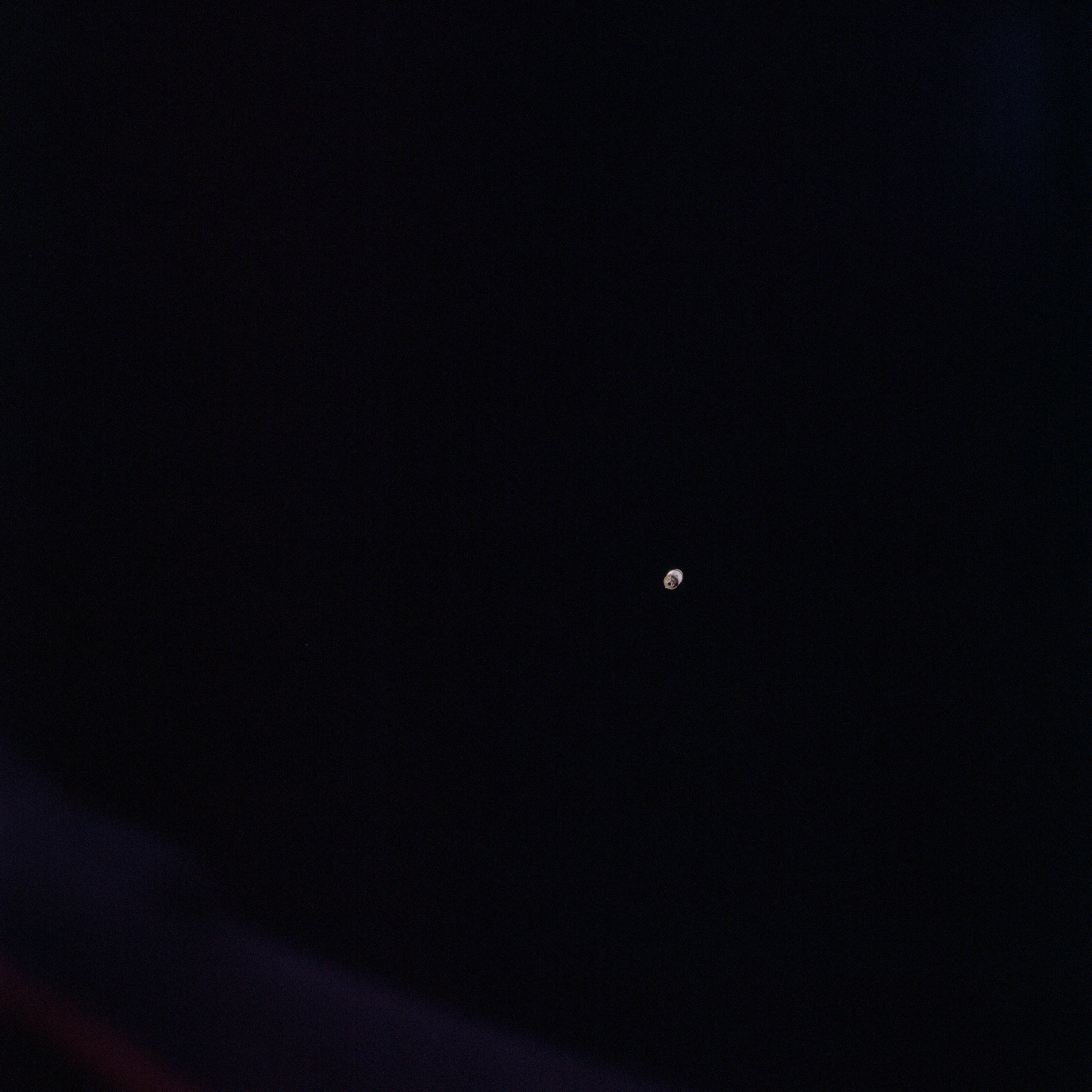 | AS09-19-2952 LM Adapter section and booster. Image credit: Image Science and Analysis Laboratory, NASA-Johnson Space Center. |
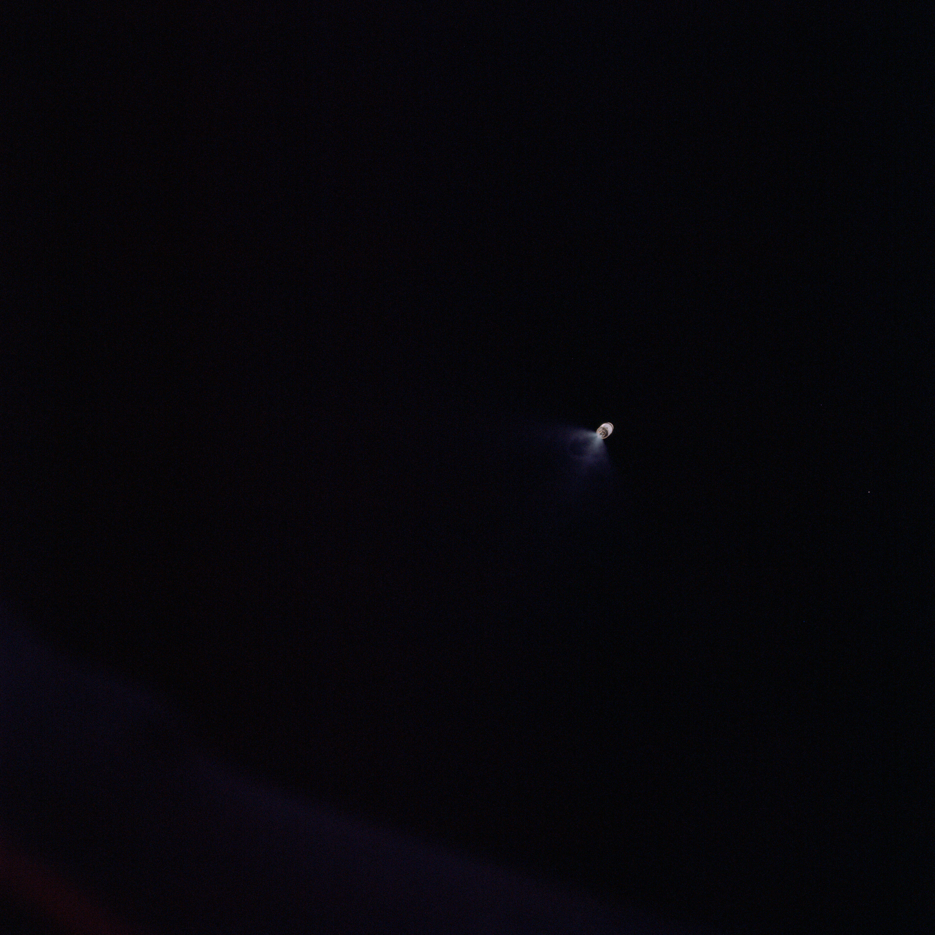 | AS09-19-2953 LM Adapter section and booster. Image credit: Image Science and Analysis Laboratory, NASA-Johnson Space Center. |
 | AS09-19-2954 LM Adapter section and booster. Image credit: Image Science and Analysis Laboratory, NASA-Johnson Space Center. |
 | AS09-19-2955 Point of light source from E.V,A. Antenna Image credit: Image Science and Analysis Laboratory, NASA-Johnson Space Center. |
 | AS09-19-2956 Point of light source from E.V,A. Antenna Image credit: Image Science and Analysis Laboratory, NASA-Johnson Space Center. |
 | AS09-19-2957 Point of light source from E.V,A. Antenna Image credit: Image Science and Analysis Laboratory, NASA-Johnson Space Center. |
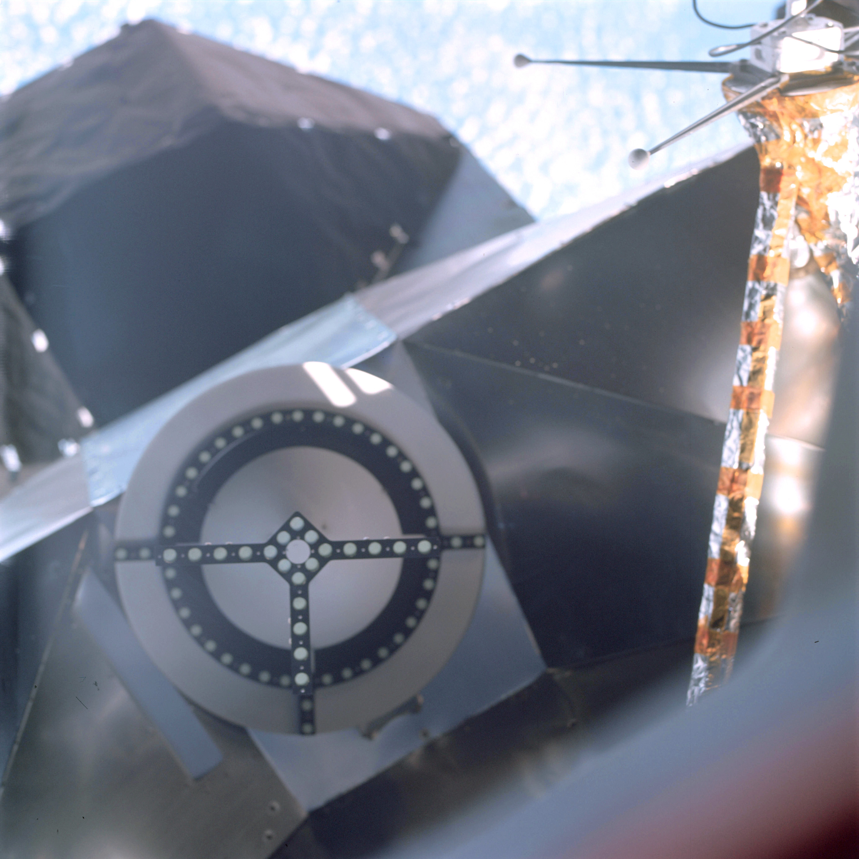 | AS09-19-2958 LM antenna Image credit: Image Science and Analysis Laboratory, NASA-Johnson Space Center. |
 | AS09-19-2959 Out of focus – reflection Image credit: Image Science and Analysis Laboratory, NASA-Johnson Space Center. |
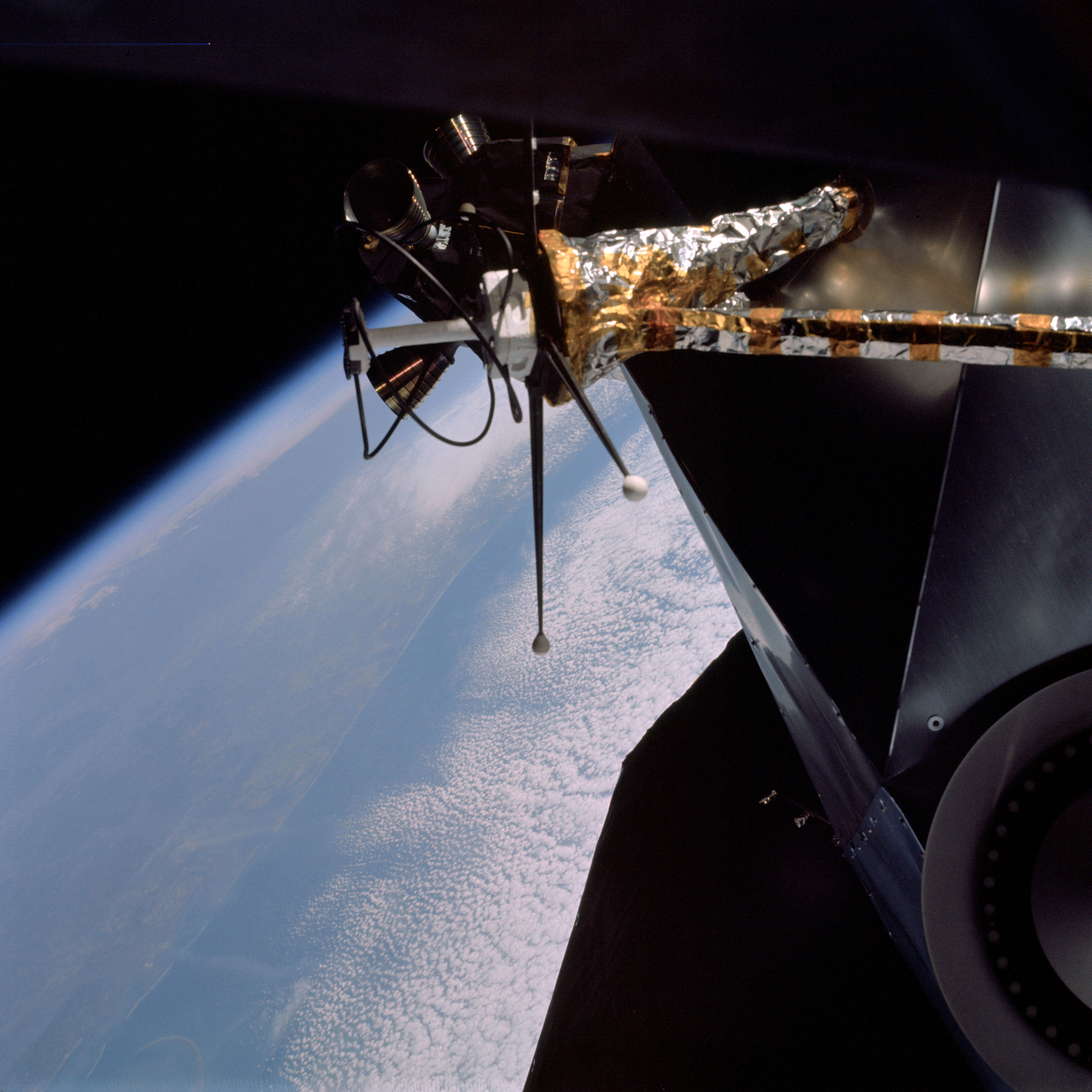 | AS09-19-2960 View of LM and Gulf Coast Image credit: Image Science and Analysis Laboratory, NASA-Johnson Space Center. |
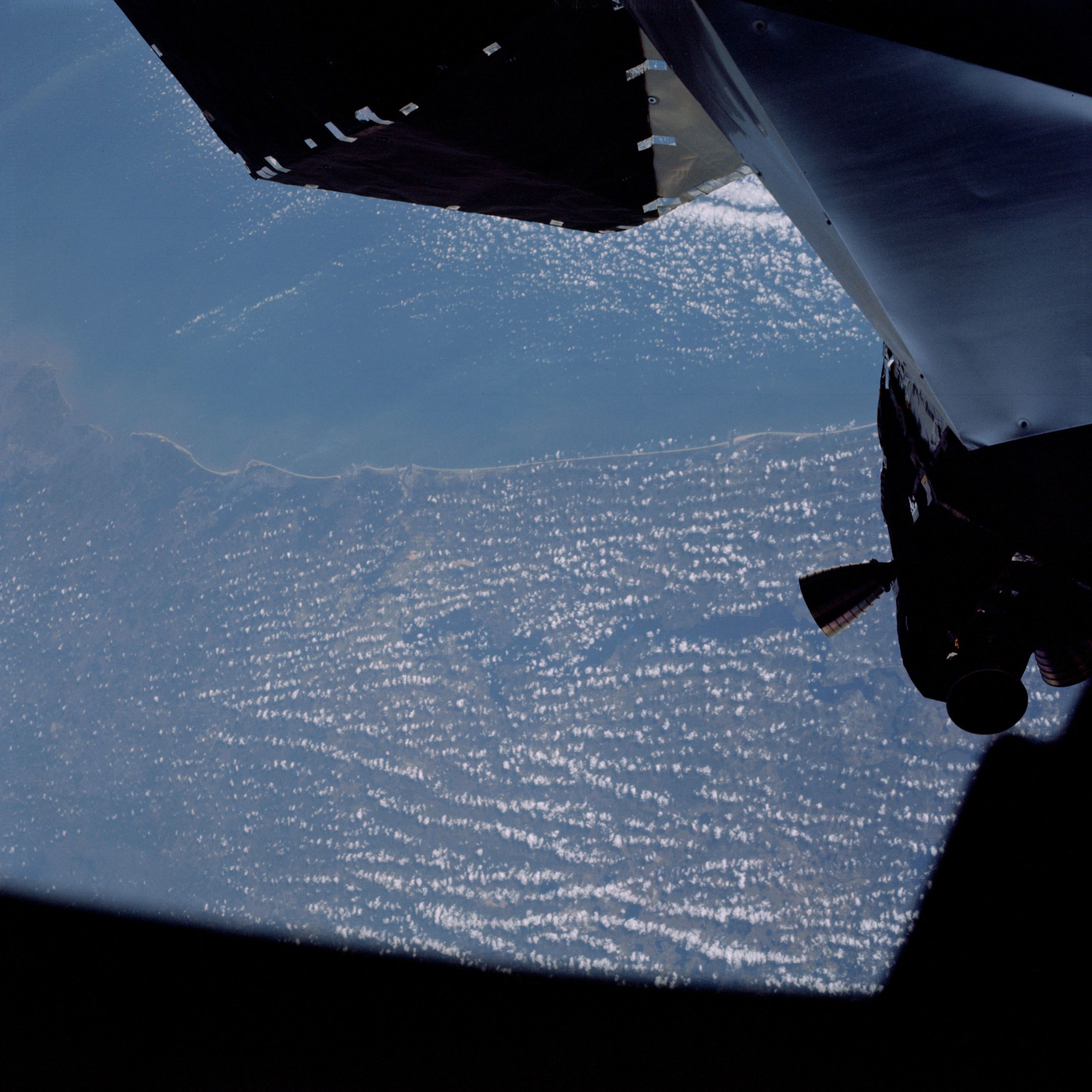 | AS09-19-2961 GEOGRAPHY/CARTOGRAPHY: United States, Florida, Georgia, Jacksonville, Brunswick and St Augustine, Atlantic Ocean. GEOLOGY/HYDROLOGY: Dissected coastal plain AGRICULTURE: Scattered cultivation FORESTRY: Mixed pine/hardwood uplands with hardwood bottomlands. METEOROLOGY: Alto-cumulus. Image credit: Image Science and Analysis Laboratory, NASA-Johnson Space Center. |
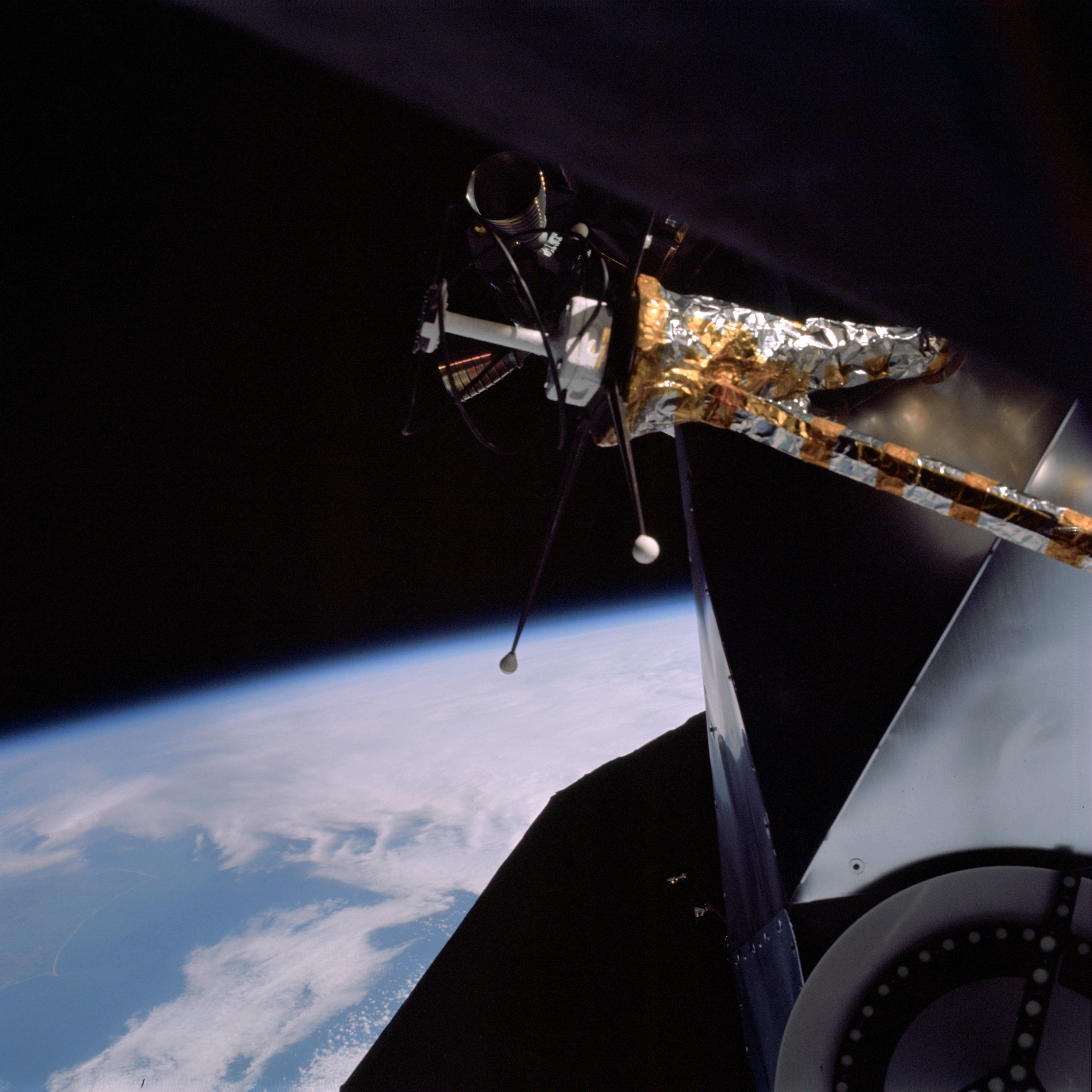 | AS09-19-2962 LM antenna system. Image credit: Image Science and Analysis Laboratory, NASA-Johnson Space Center. |
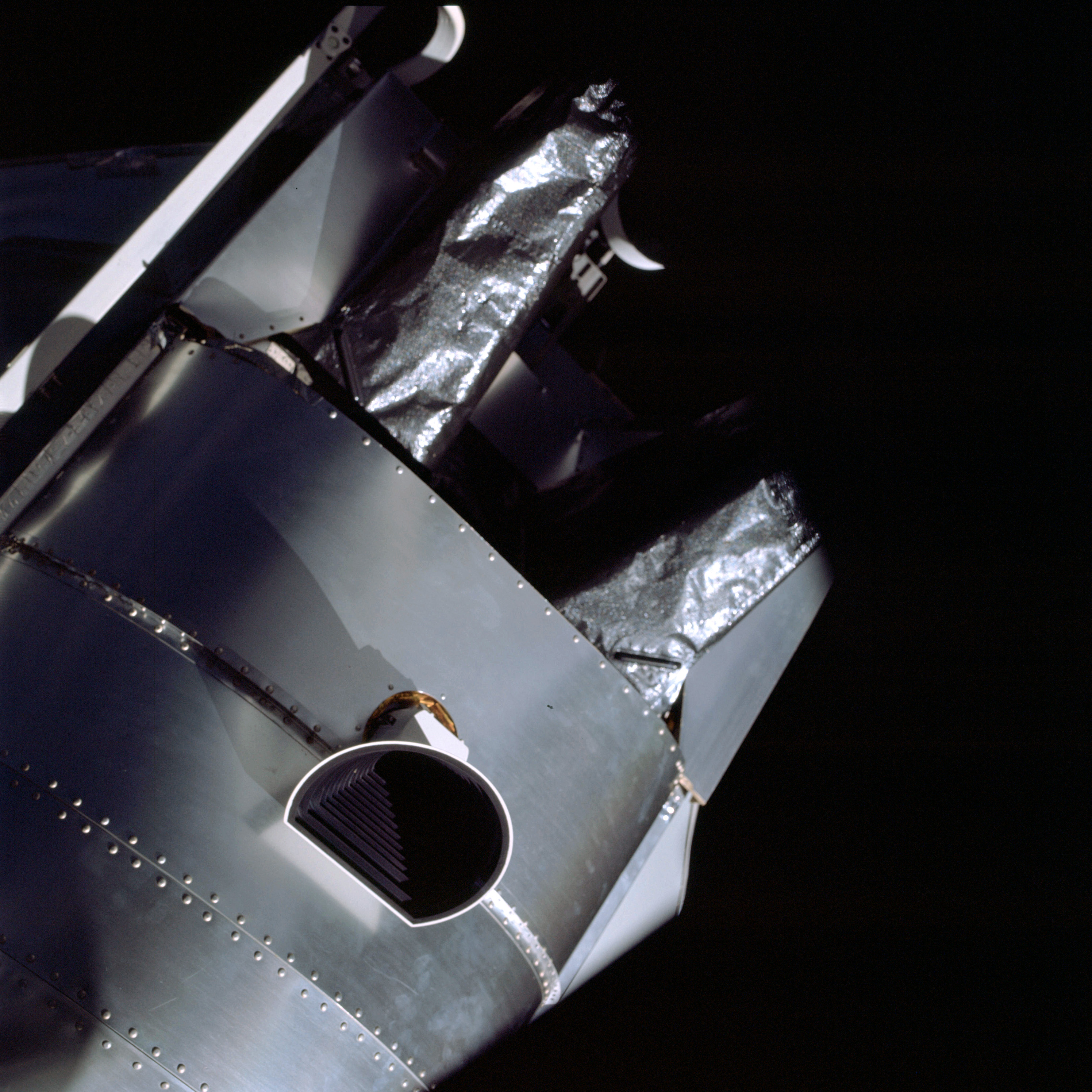 | AS09-19-2963 Side of LM and antenna Image credit: Image Science and Analysis Laboratory, NASA-Johnson Space Center. |
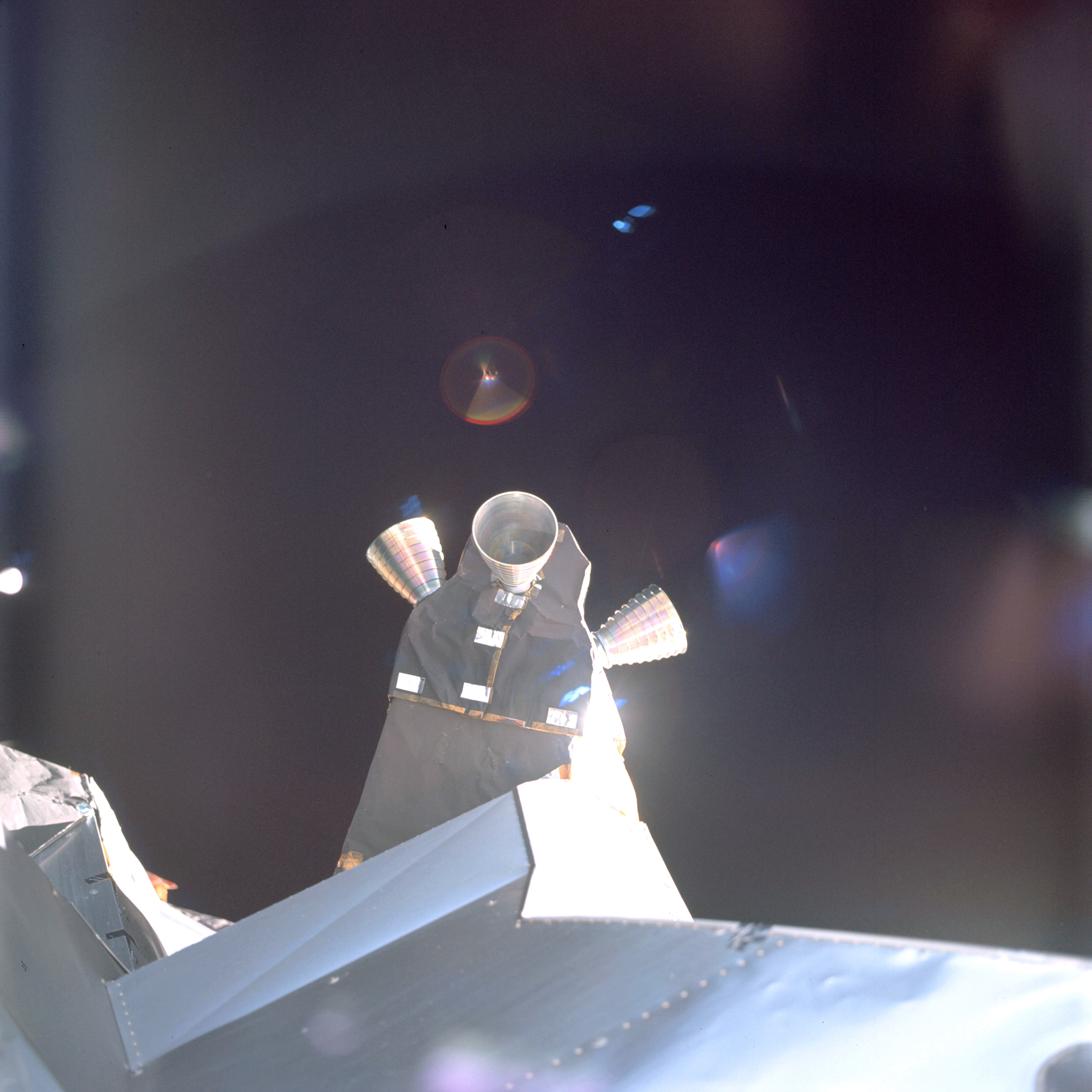 | AS09-19-2964 Quad – attitude engines on LM Image credit: Image Science and Analysis Laboratory, NASA-Johnson Space Center. |
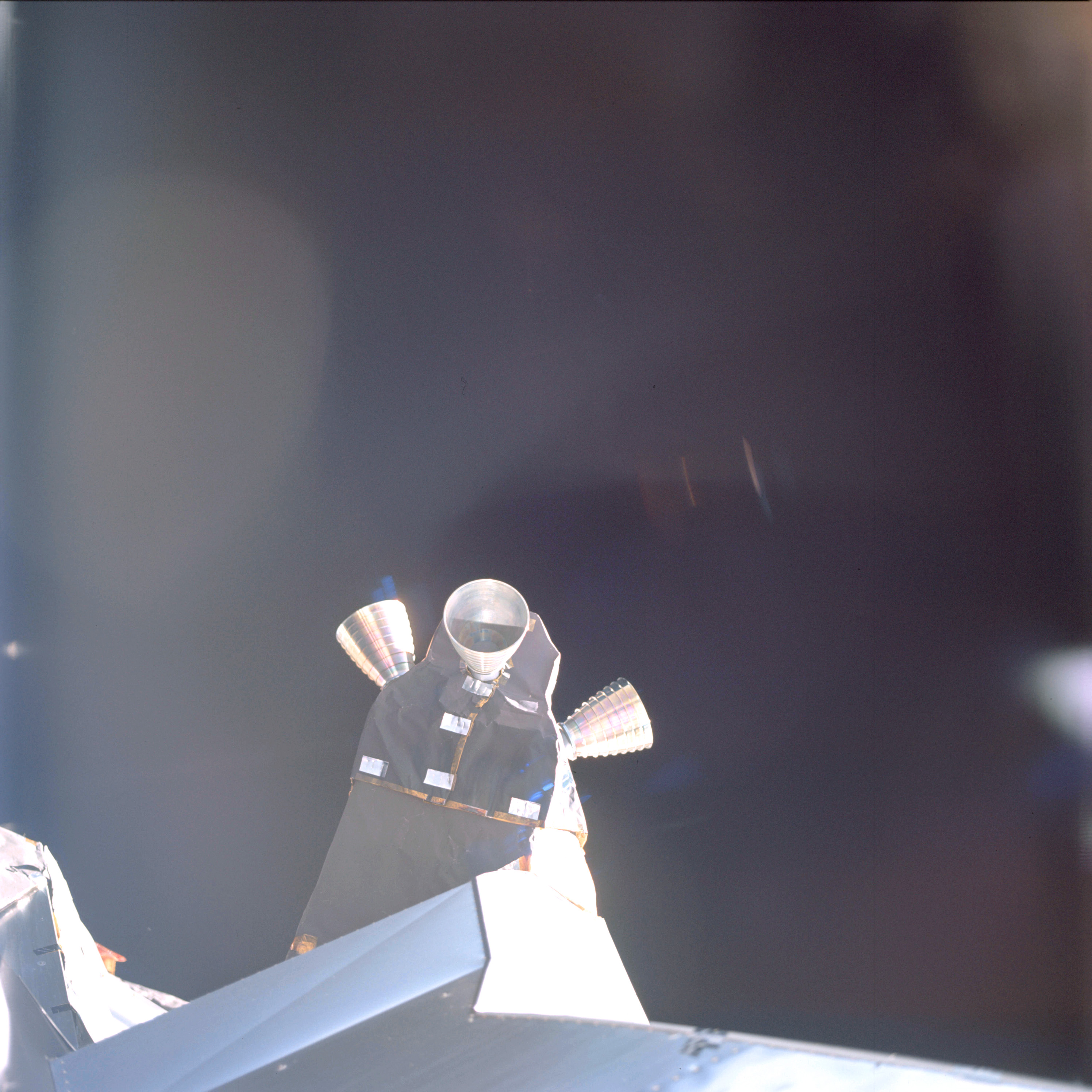 | AS09-19-2965 Quad – attitude engines on LM Image credit: Image Science and Analysis Laboratory, NASA-Johnson Space Center. |
 | AS09-19-2966 Light reflection – out of focus Image credit: Image Science and Analysis Laboratory, NASA-Johnson Space Center. |
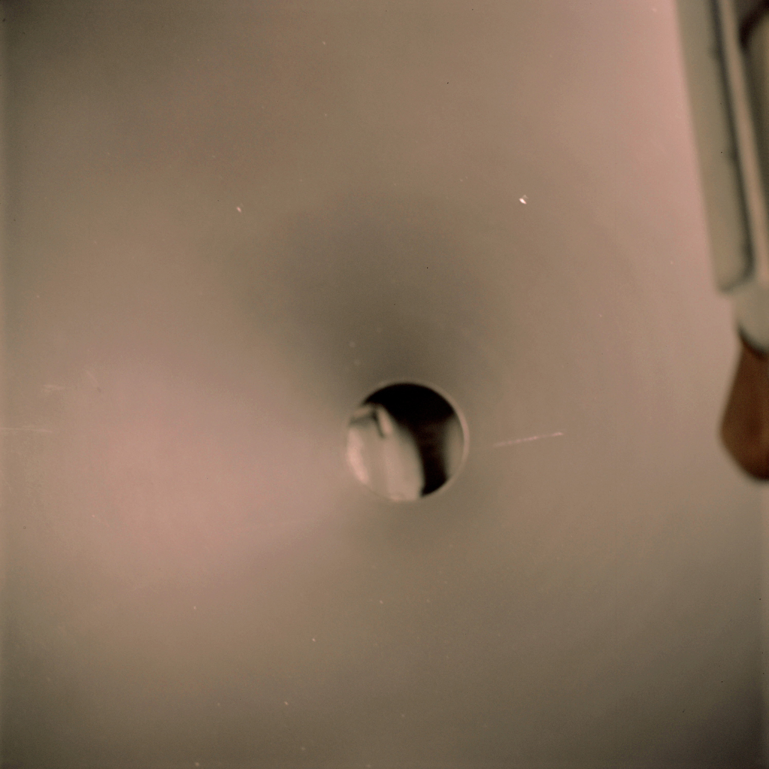 | AS09-19-2967 View through passageway from Command Module Image credit: Image Science and Analysis Laboratory, NASA-Johnson Space Center. |
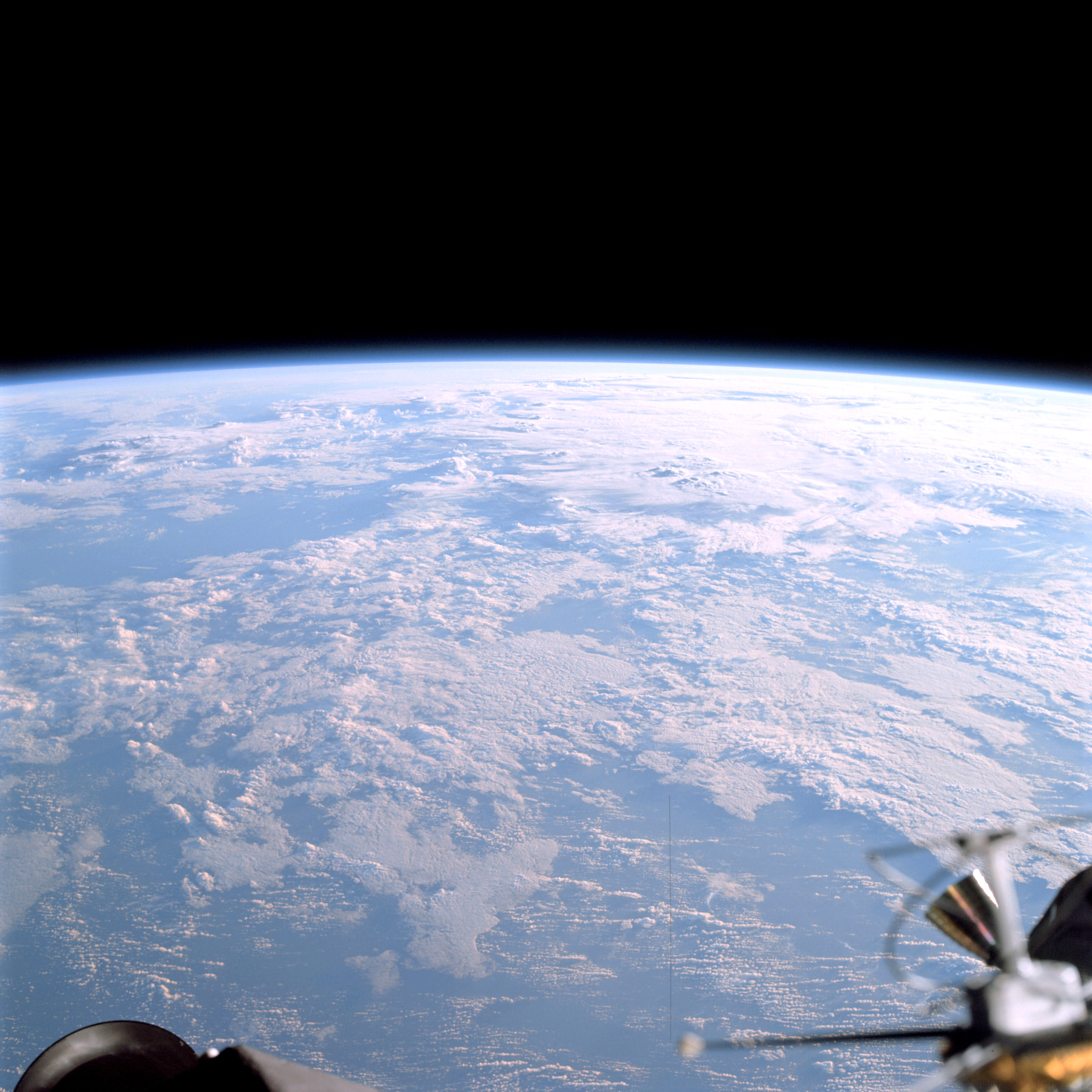 | AS09-19-2968 View from Command Module Image credit: Image Science and Analysis Laboratory, NASA-Johnson Space Center. |
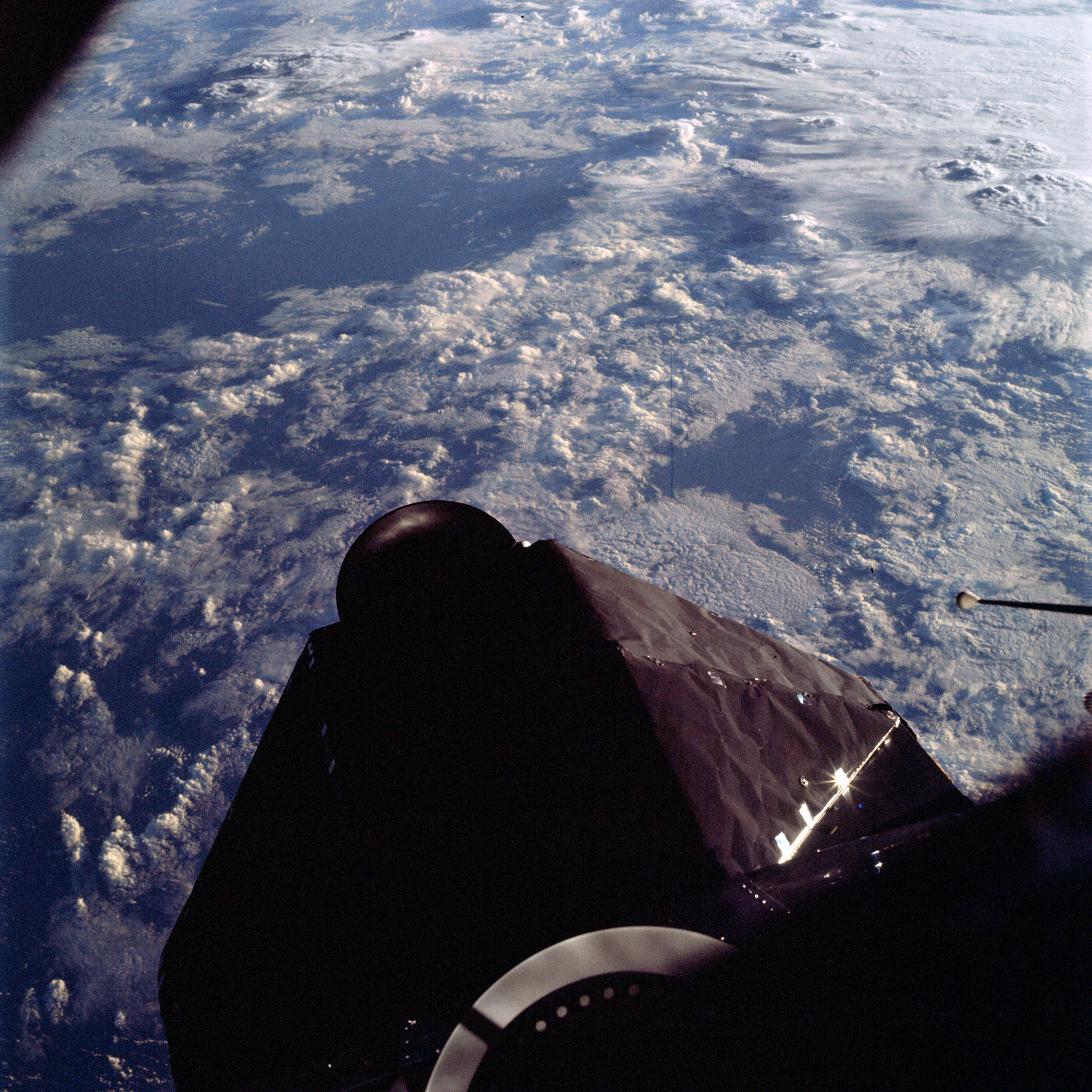 | AS09-19-2969 View from Command Module near terminator Image credit: Image Science and Analysis Laboratory, NASA-Johnson Space Center. |
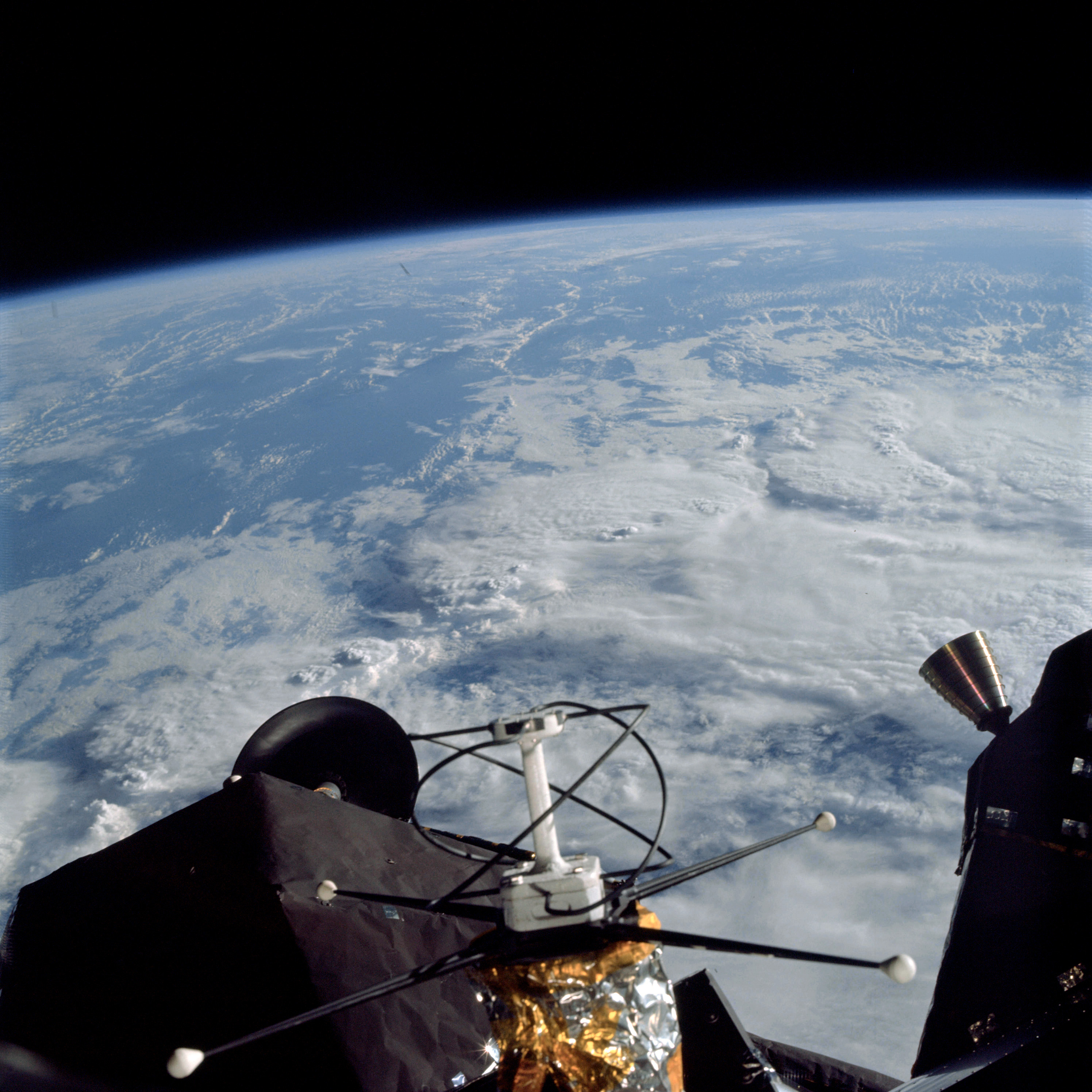 | AS09-19-2970 LM antennas Image credit: Image Science and Analysis Laboratory, NASA-Johnson Space Center. |
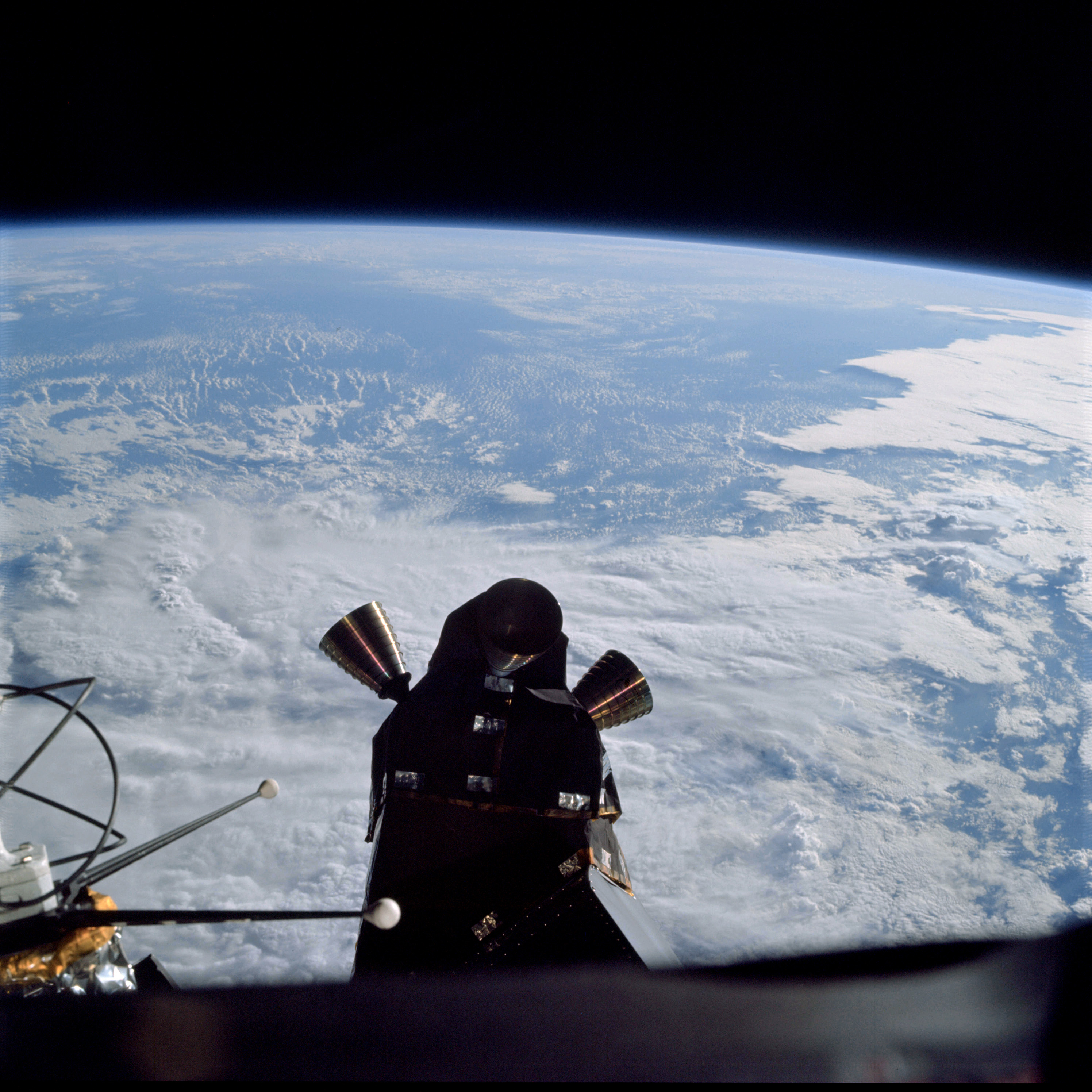 | AS09-19-2971 LM antennas and quad – engines Image credit: Image Science and Analysis Laboratory, NASA-Johnson Space Center. |
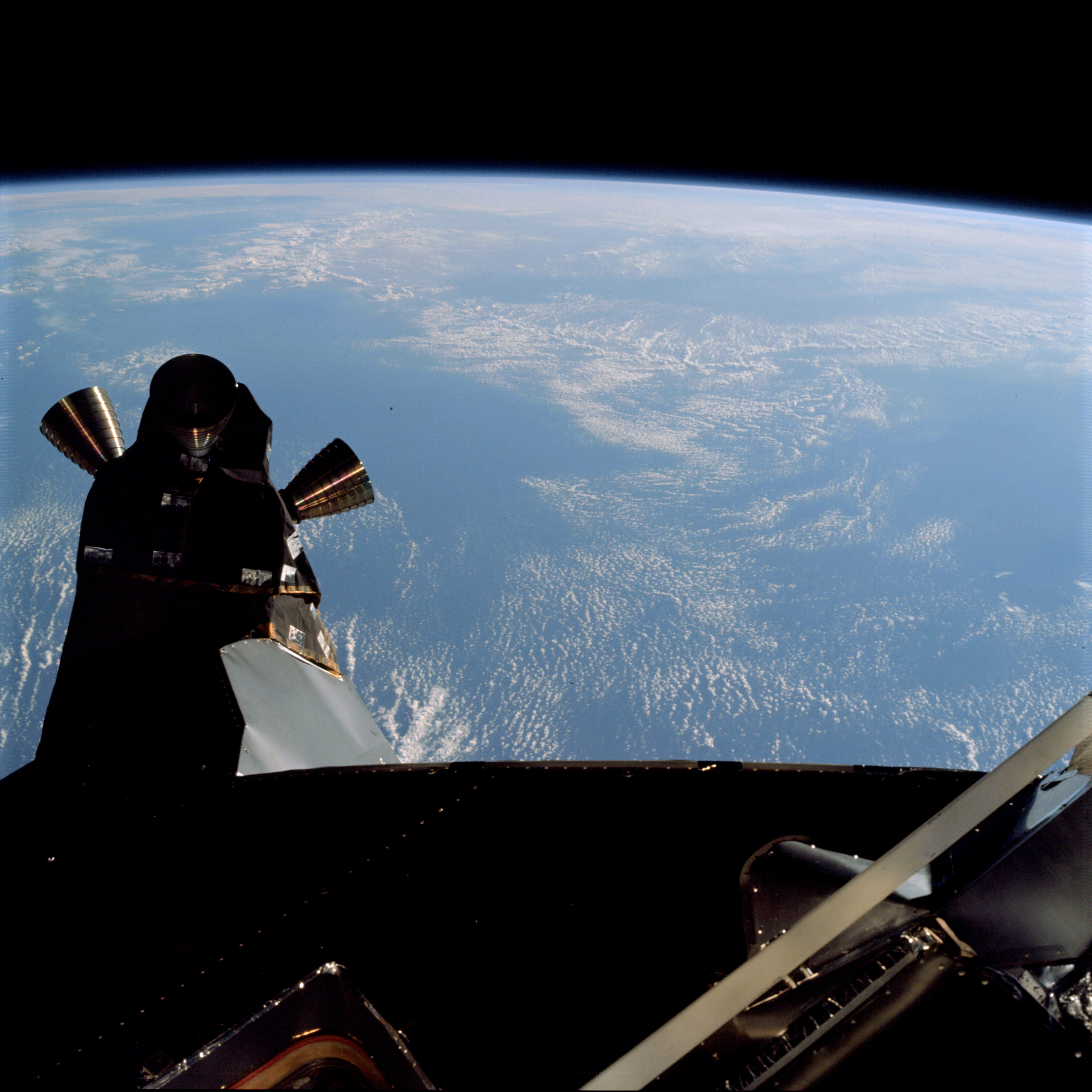 | AS09-19-2972 LM quad – attitude engines Image credit: Image Science and Analysis Laboratory, NASA-Johnson Space Center. |
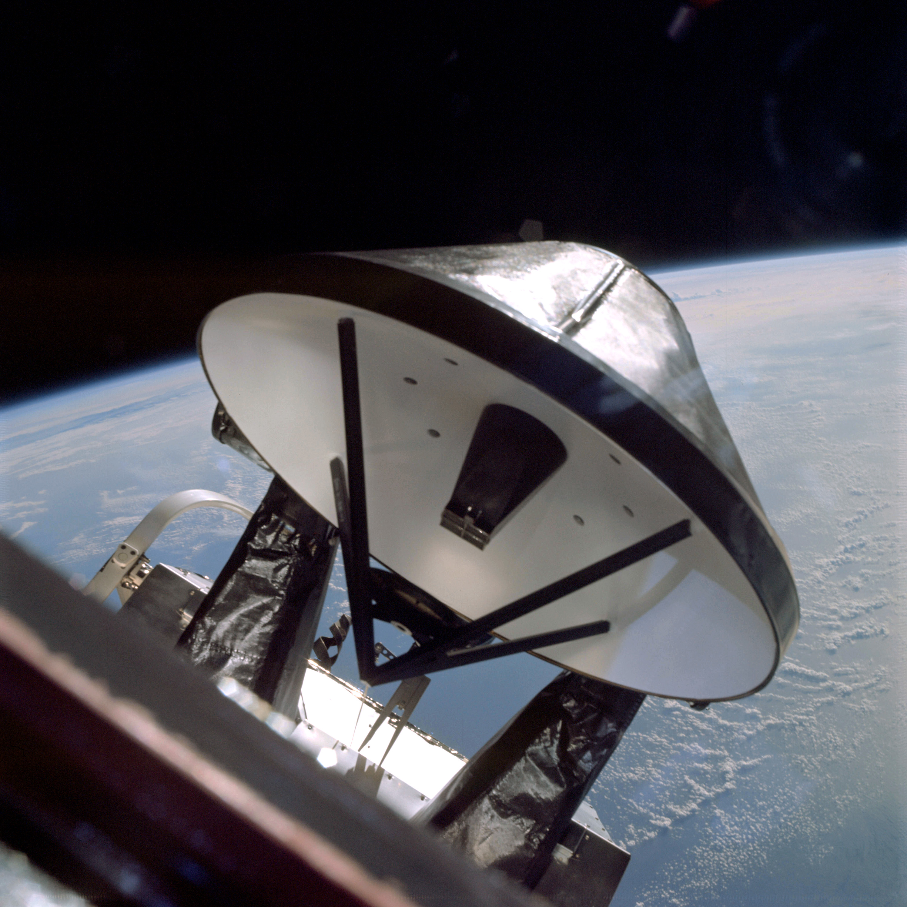 | AS09-19-2973 LM dish antenna Image credit: Image Science and Analysis Laboratory, NASA-Johnson Space Center. |
 | AS09-19-2974 Out of focus – reflection off dish antenna Image credit: Image Science and Analysis Laboratory, NASA-Johnson Space Center. |
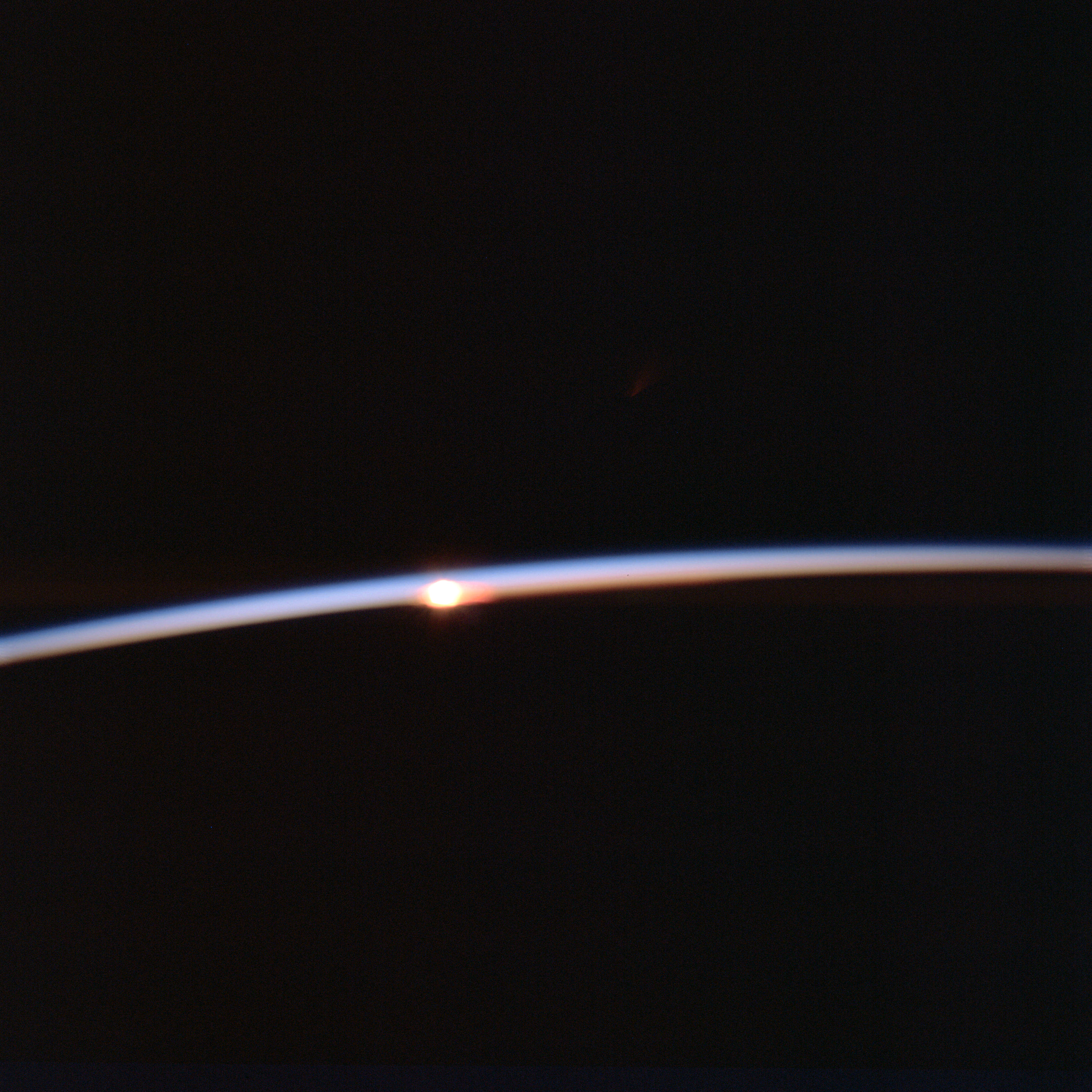 | AS09-19-2975 Horizon Image credit: Image Science and Analysis Laboratory, NASA-Johnson Space Center. |
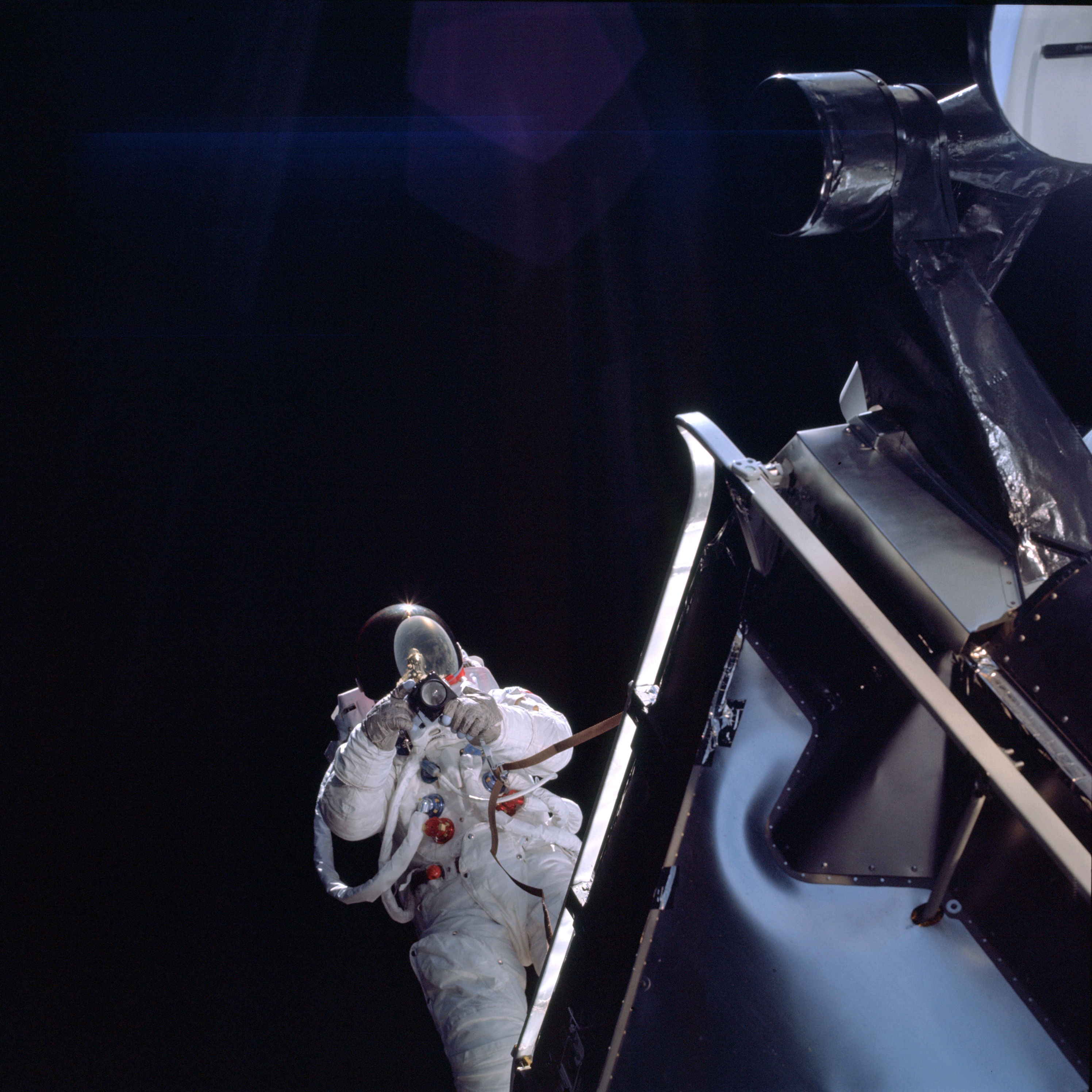 | AS09-19-2976 E.V.A. of LM Pilot Schweickart Image credit: Image Science and Analysis Laboratory, NASA-Johnson Space Center. |
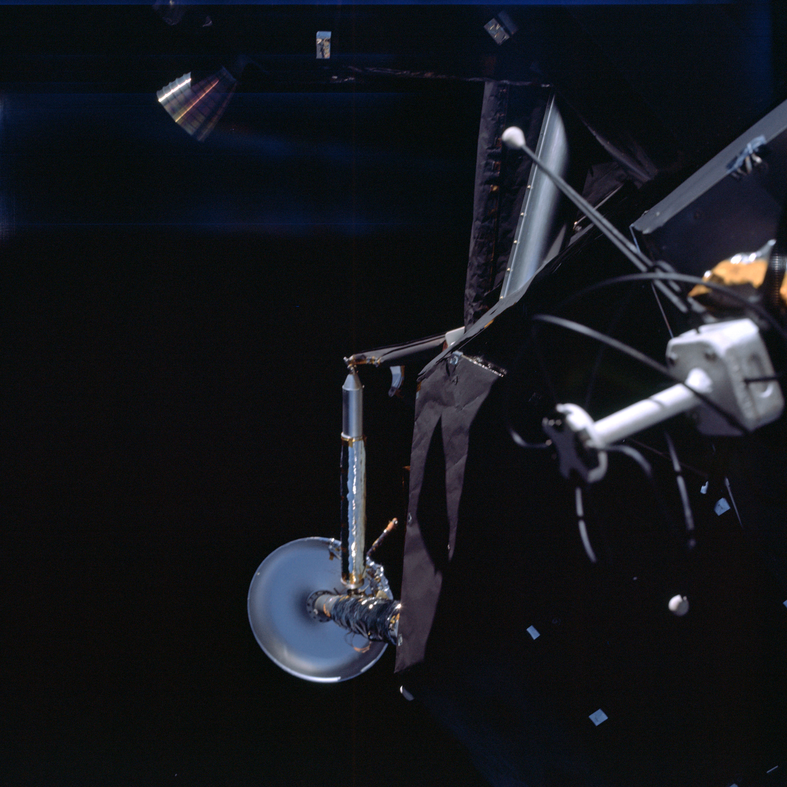 | AS09-19-2977 LM antenna and LEG system Image credit: Image Science and Analysis Laboratory, NASA-Johnson Space Center. |
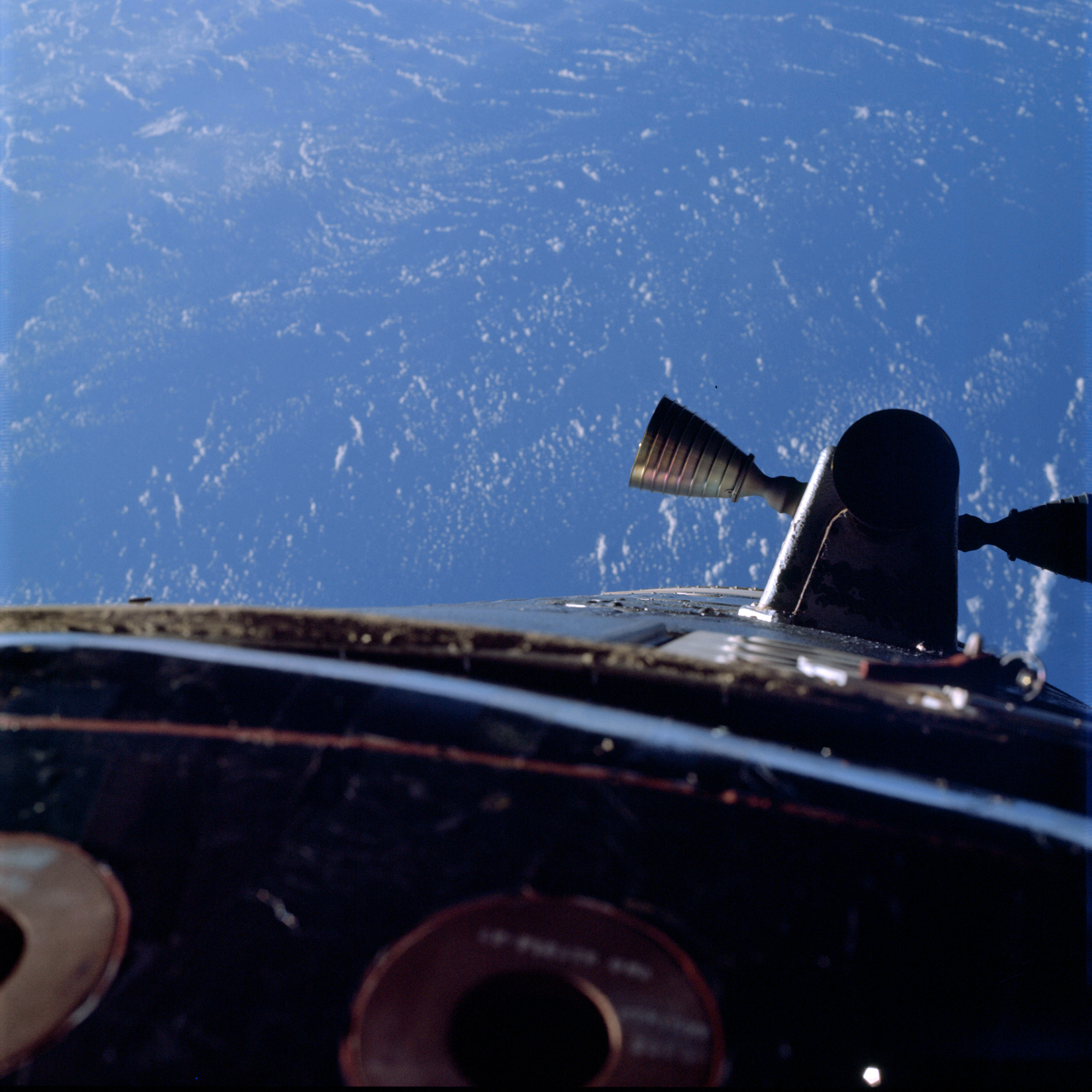 | AS09-19-2978 Quad – attitude engines Image credit: Image Science and Analysis Laboratory, NASA-Johnson Space Center. |
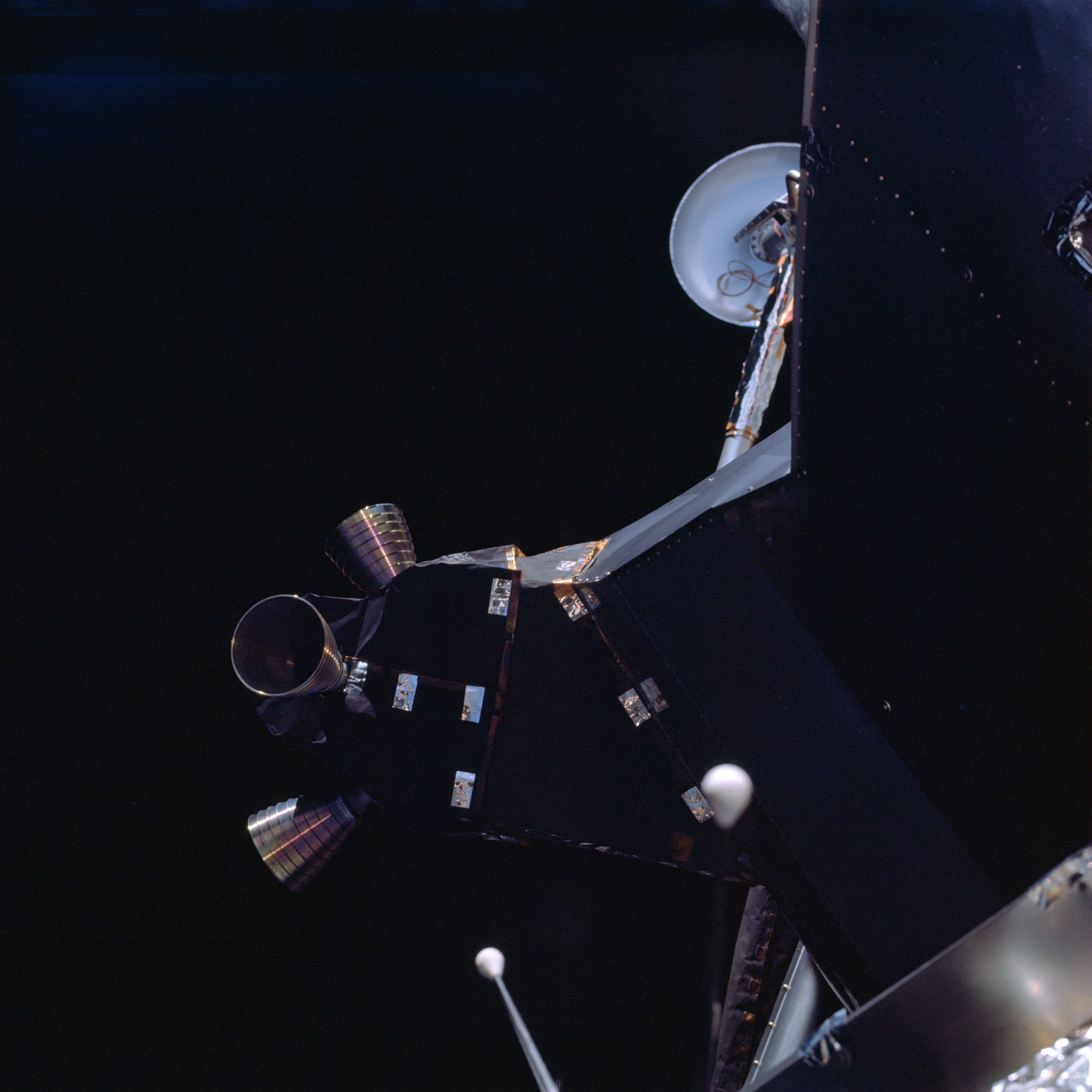 | AS09-19-2979 LM spacecraft Image credit: Image Science and Analysis Laboratory, NASA-Johnson Space Center. |
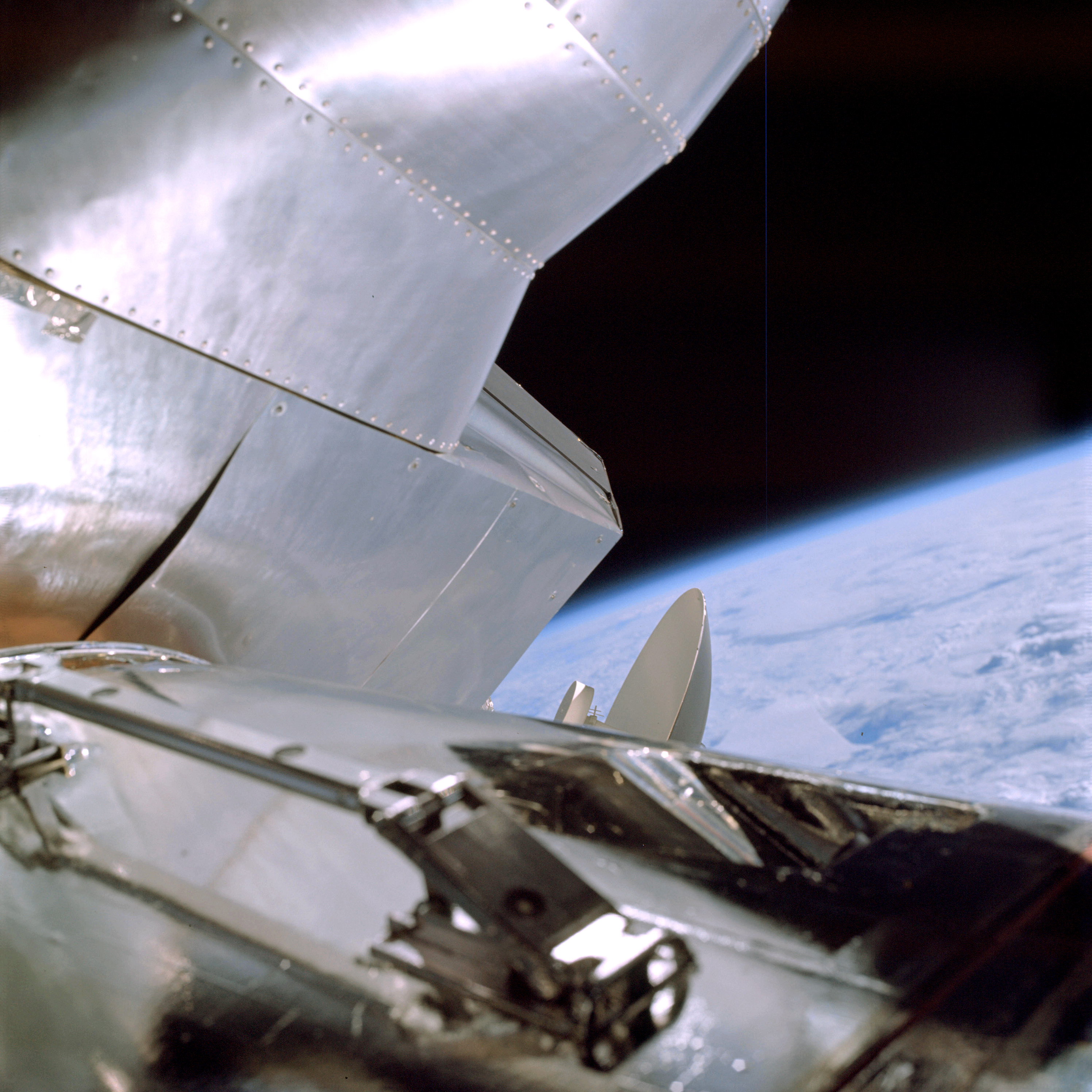 | AS09-19-2980 LM spacecraft Image credit: Image Science and Analysis Laboratory, NASA-Johnson Space Center. |
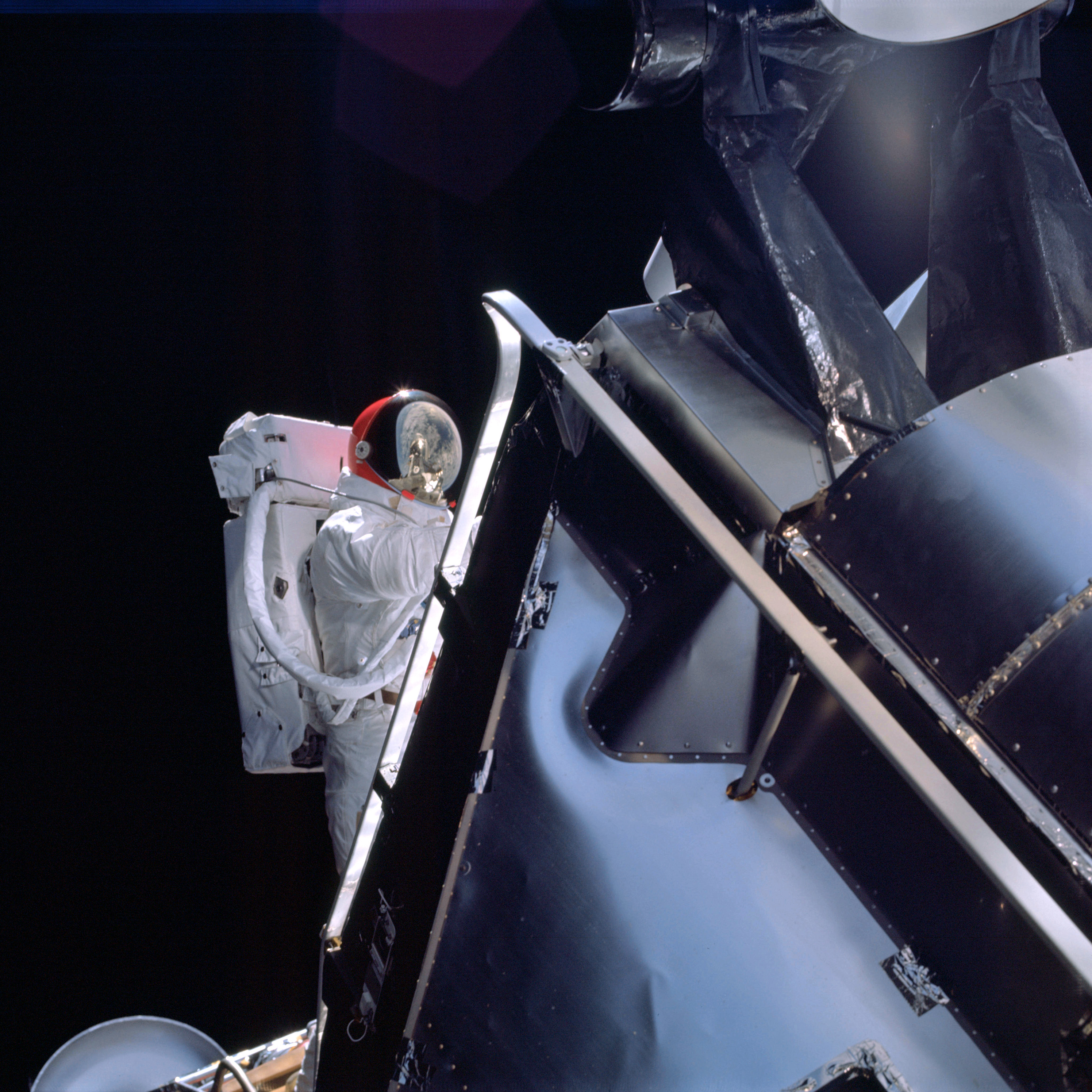 | AS09-19-2981 E.V.A. activities of LM Pilot Schweickart Image credit: Image Science and Analysis Laboratory, NASA-Johnson Space Center. |
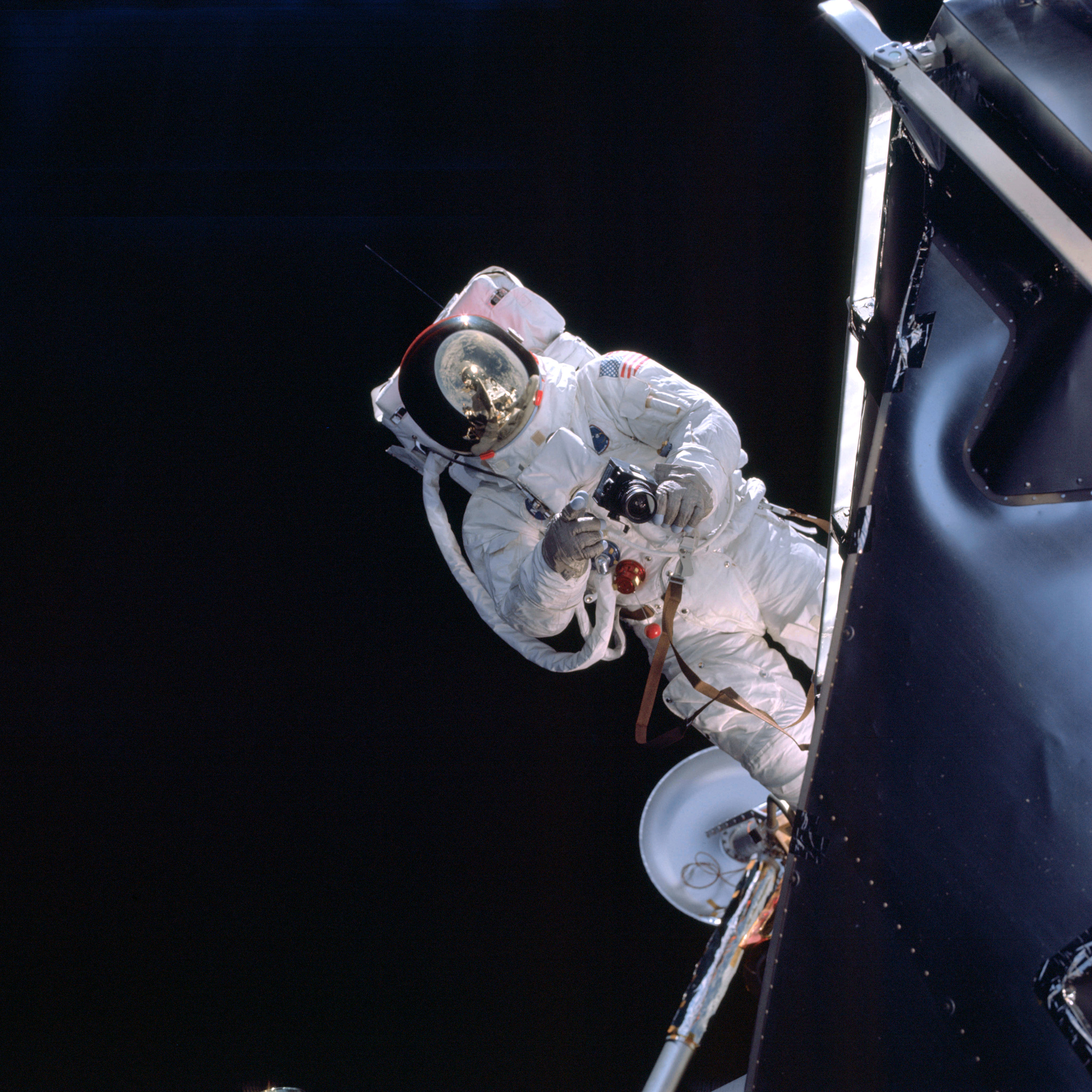 | AS09-19-2982 E.V.A. activities of LM Pilot Schweickart Image credit: Image Science and Analysis Laboratory, NASA-Johnson Space Center. |
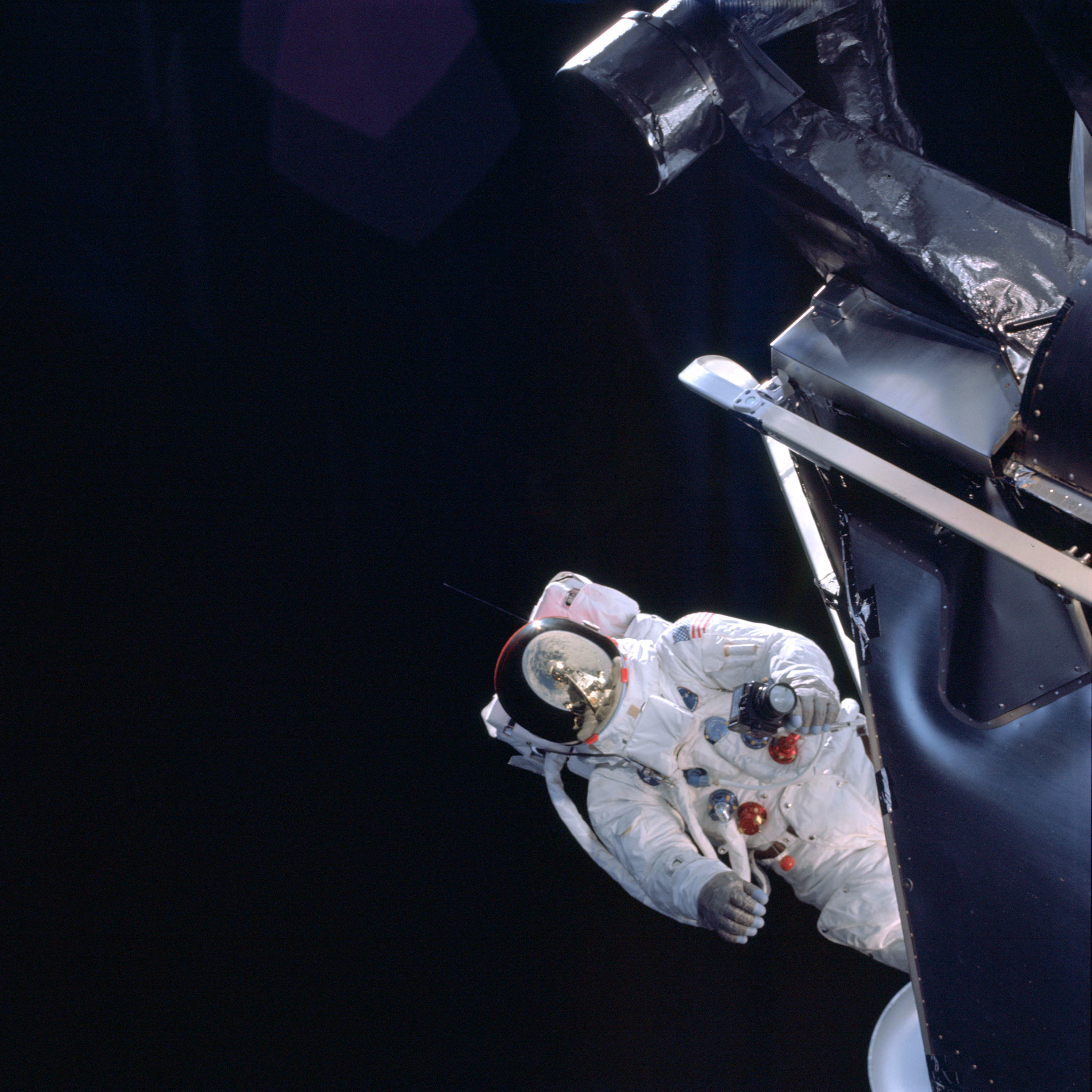 | AS09-19-2983 E.V.A. activities of LM Pilot Schweickart Image credit: Image Science and Analysis Laboratory, NASA-Johnson Space Center. |
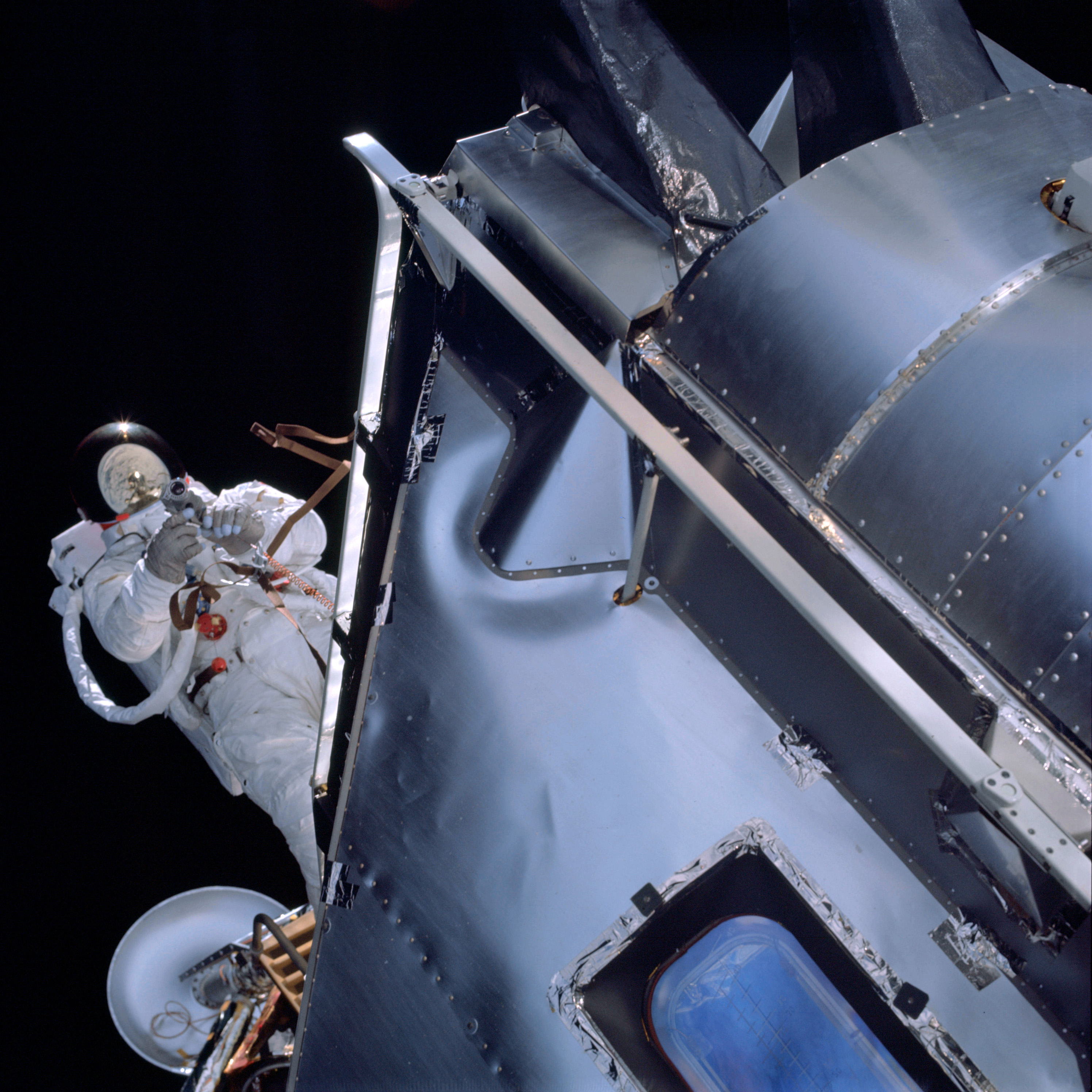 | AS09-19-2984 E.V.A. activities of LM Pilot Schweickart Image credit: Image Science and Analysis Laboratory, NASA-Johnson Space Center. |
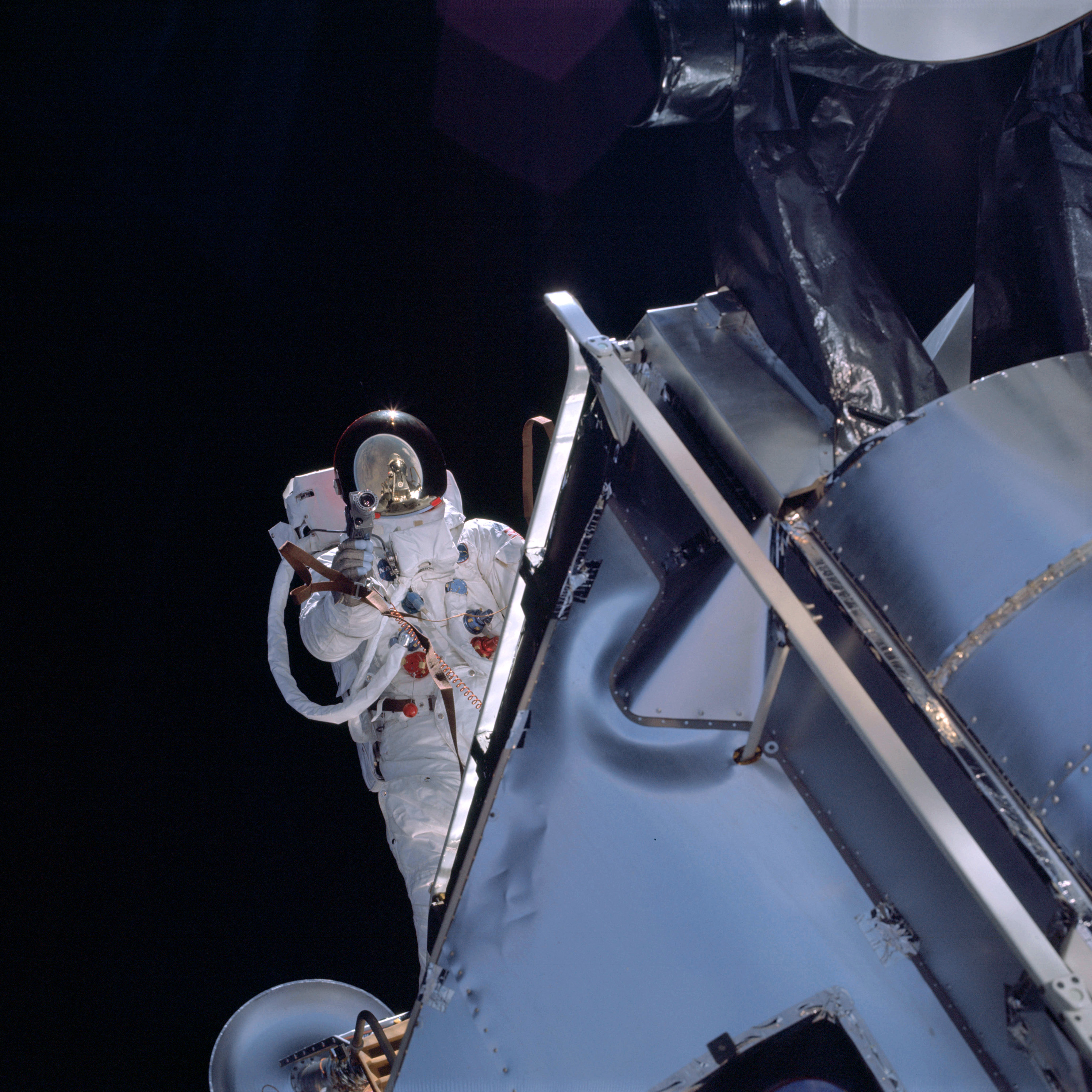 | AS09-19-2985 E.V.A. activities of LM Pilot Schweickart Image credit: Image Science and Analysis Laboratory, NASA-Johnson Space Center. |
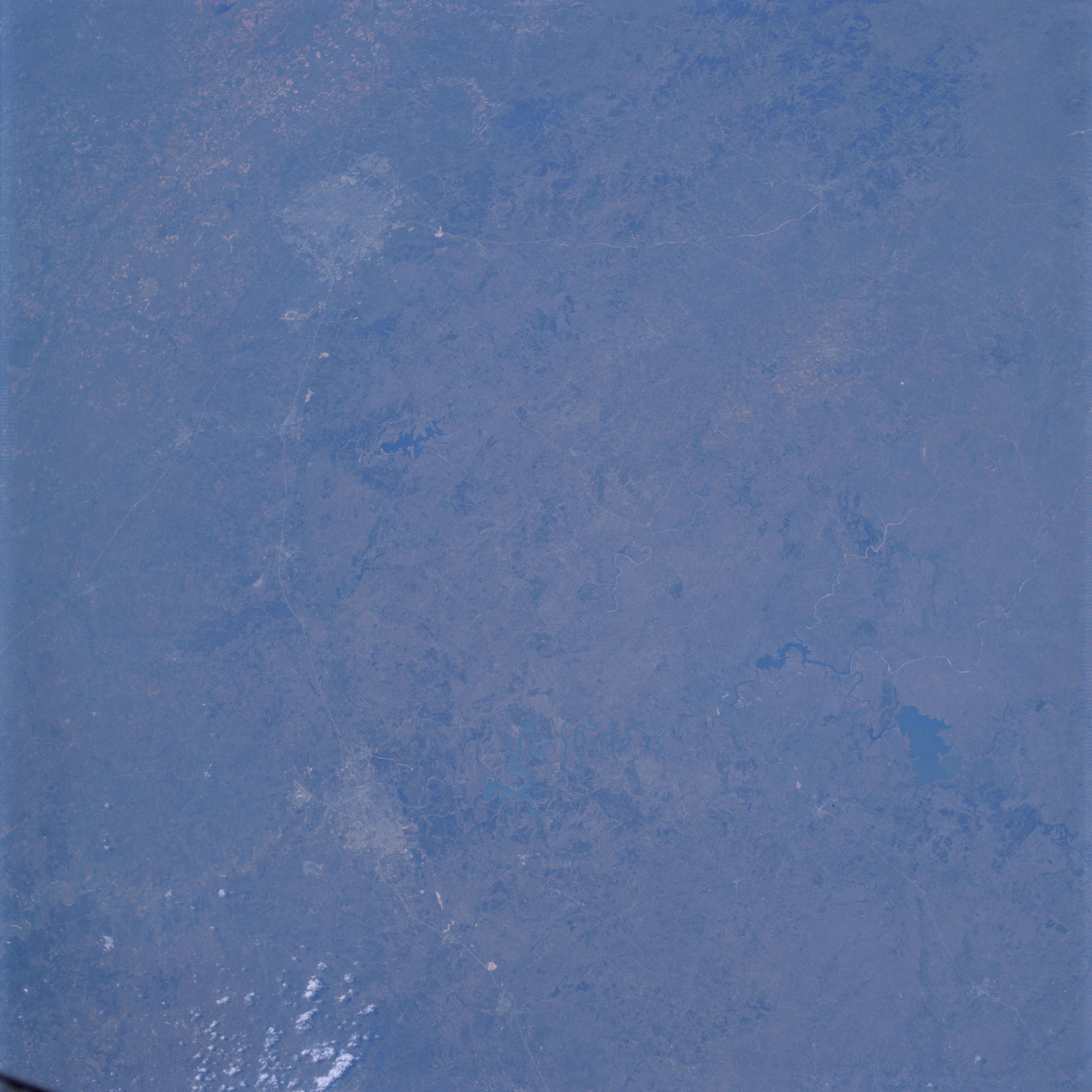 | AS09-19-2986 GEOGRAPHY/CARTOGRAPHY: United States, Texas Cities of San Antonio and Austin, Lakes Austin, Travis, Lyndon B. Johnson, and Buchanan, Canyon Reservoir, Johnson City. GEOLOGY/HYDROLOGY: Central plains of sedimentary formations. AGRICULTURE: Scattered to dense cultivation. FORESTRY: Semi-dense stands of mixed conifer and hardwood, non-commercial stands. METEOROLOGY: Cumulus humilis. Image credit: Image Science and Analysis Laboratory, NASA-Johnson Space Center. |
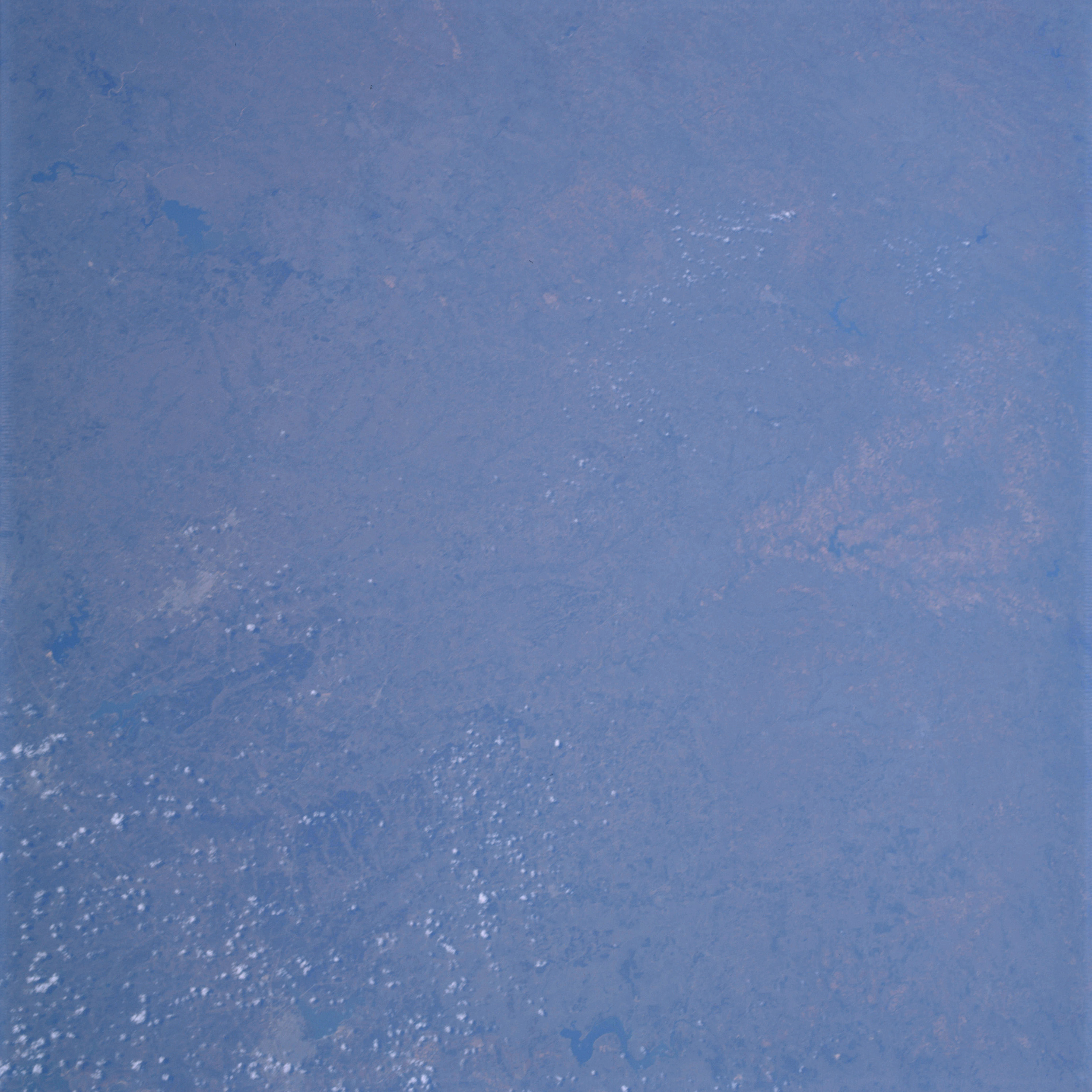 | AS09-19-2987 GEOGRAPHY/CARTOGRAPHY: United States, Texas, Lakes Buchanan, Waco, and Whitney, Cities of Waco, and Temple, Towns of Killeen and McGregor. GEOLOGY/HYDROLOGY: Central plains. AGRICULTURE: Scattered to dense cultivation. FORESTRY: Semi dense stands of mixed forest types, generally non-commercial shrubform. METEOROLOGY: Cumulus humilis. Image credit: Image Science and Analysis Laboratory, NASA-Johnson Space Center. |
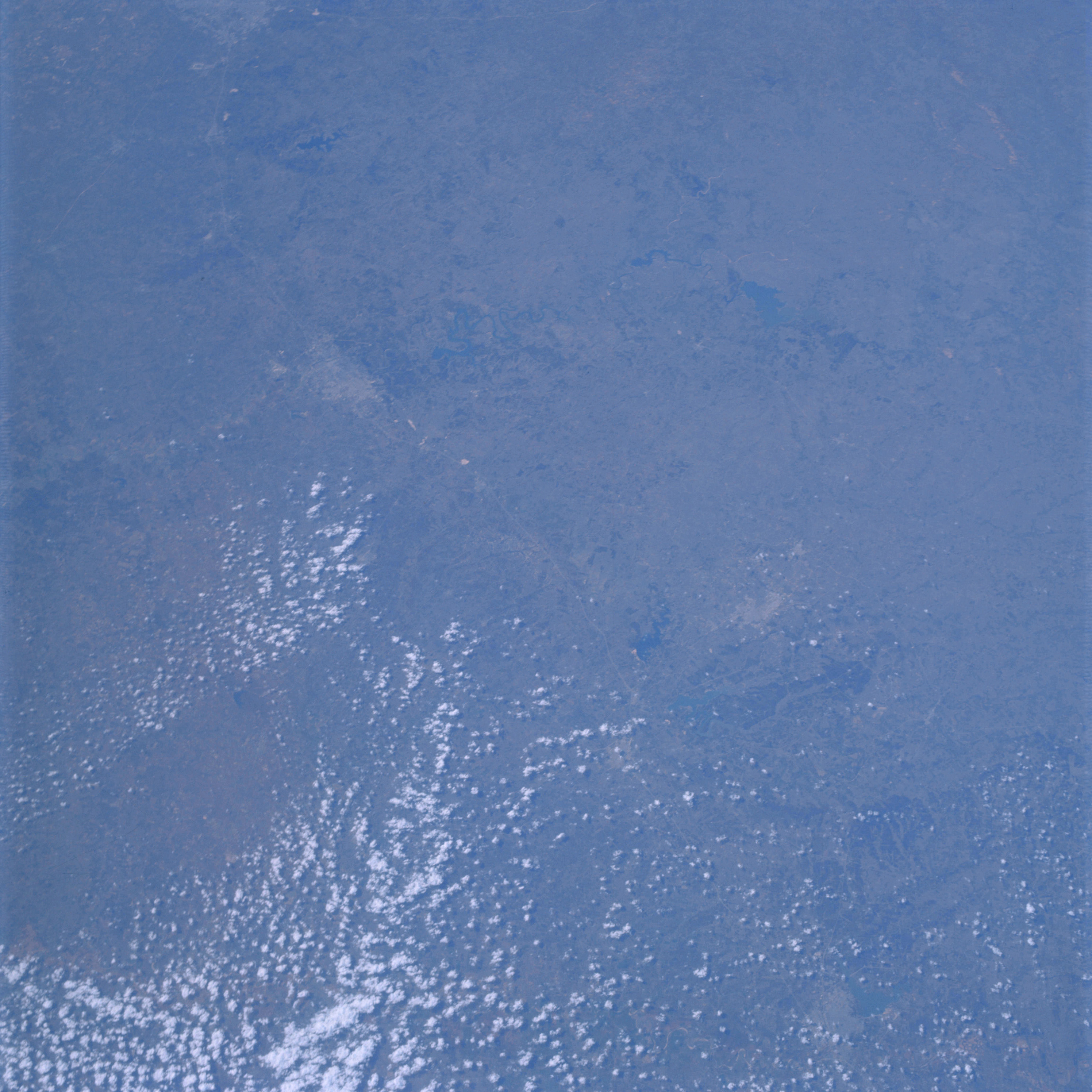 | AS09-19-2988 GEOGRAPHY/CARTOGRAPHY: United States, Texas, Cities of San Antonio, Austin, Temple and Waco, Interstate Route 35, Lakes Buchanan, Travis, Austin. GEOLOGY/HYDROLOGY: Central plains. AGRICULTURE: Scattered to dense cultivation. FORESTRY: Semi dense stands of mixed forest types, mainly shrubform. METEOROLOGY: Cumulus humilis. Image credit: Image Science and Analysis Laboratory, NASA-Johnson Space Center. |
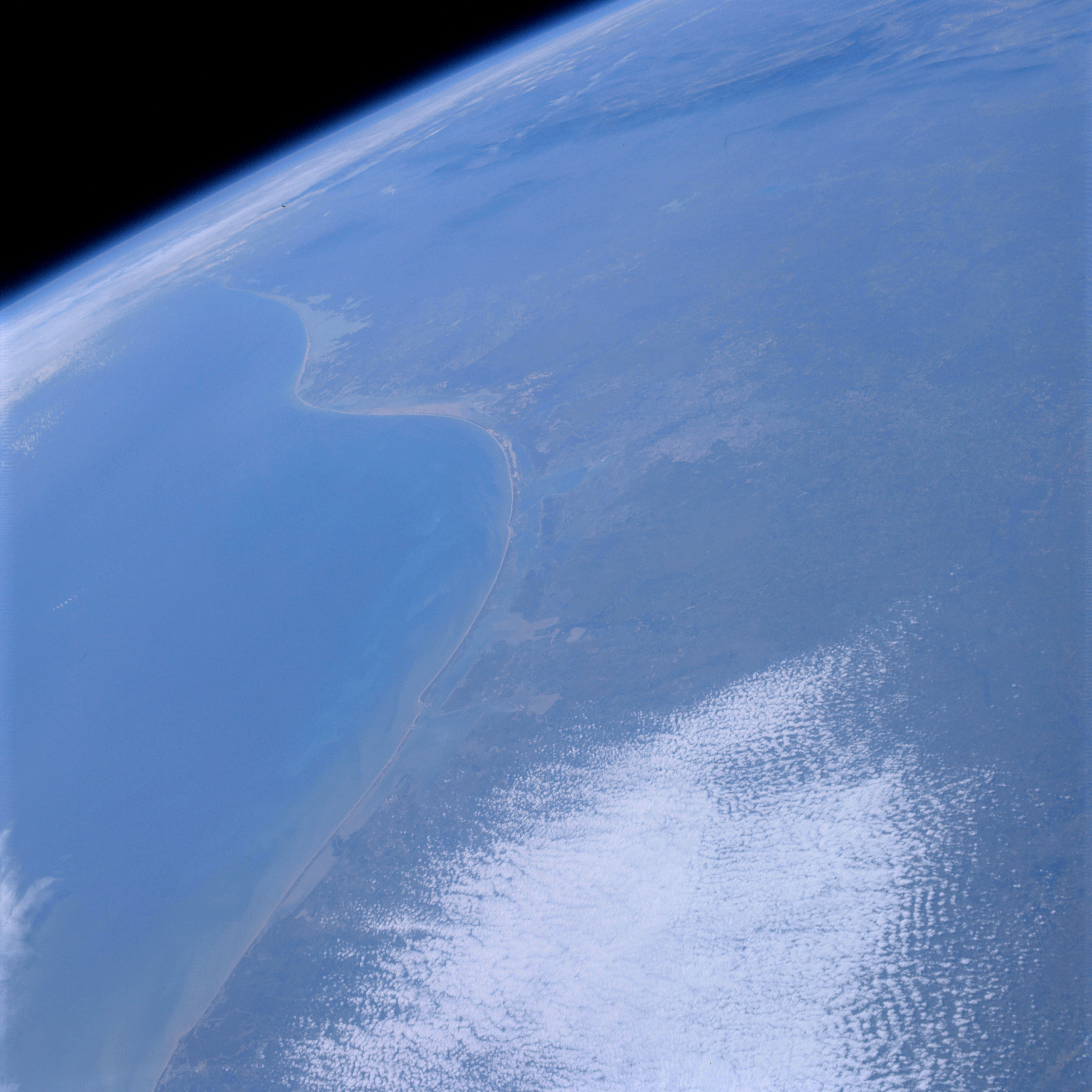 | AS09-19-2989 GEOGRAPHY/CARTOGRAPHY: United States, Mexico, Texas Gulf Coast, Matagorda, San Antonio, Corpus Christi, Alazan and Bays Padre Island, Rio Grande Valley, Cities of Corpus Christi, Brownsville, and Matamoros. GEOLOGY /HYDROLOGY: Coastal and central plains. AGRICULTURE: Extensive cultivation in Matagorda Bay-Victoria area. FORESTRY: Generally non-commercial shrubform with coastal vegetation. METEOROLOGY: Alto-cumulus. OCEANOGRAPHY: Gulf of Mexico, directional differences of nearshore and off-shore currents indicated by sediment discharge of drainage systems. Image credit: Image Science and Analysis Laboratory, NASA-Johnson Space Center. |
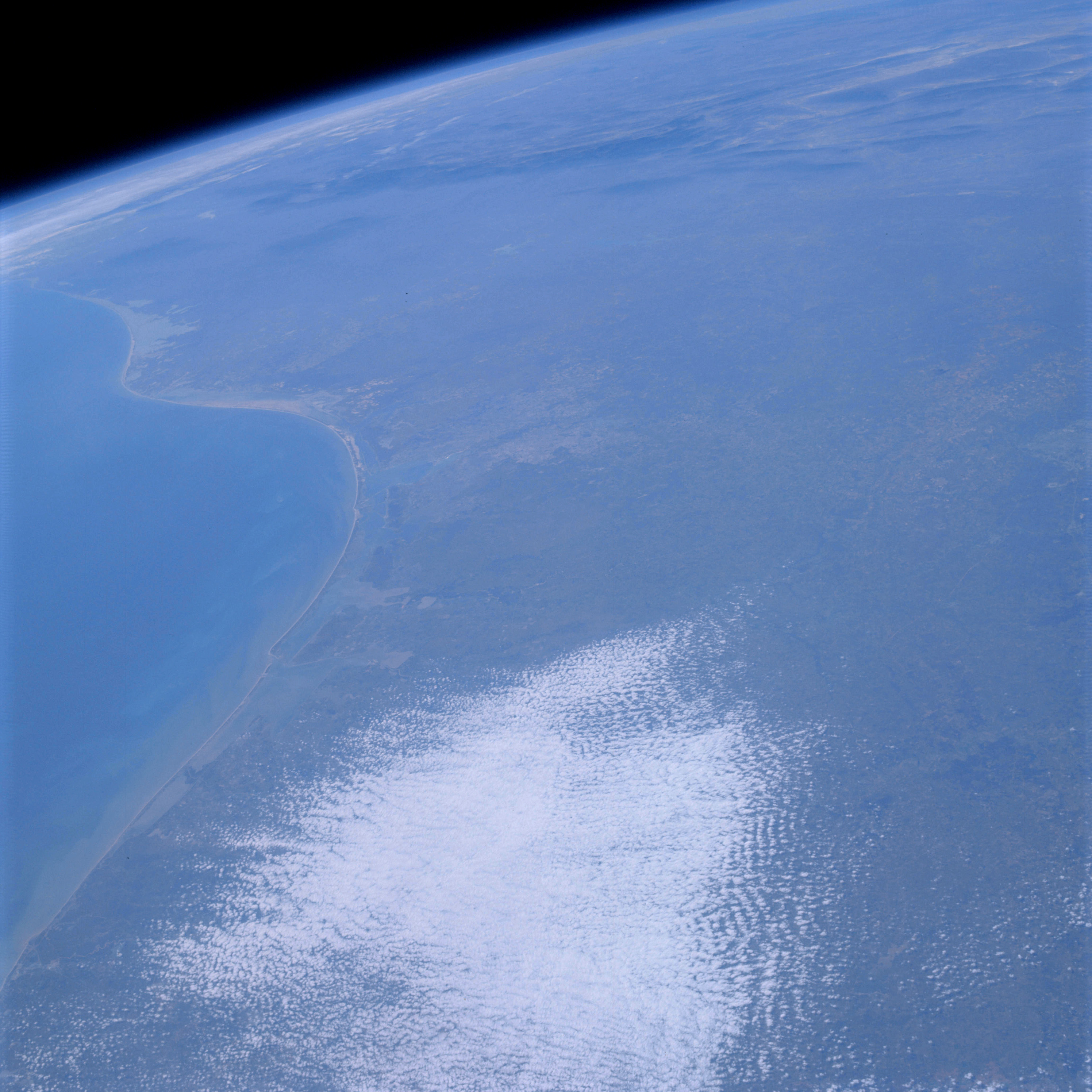 | AS09-19-2990 GEOGRAPHY/CARTOGRAPHY: United States, Mexico, Texas, Matagorda, and Corpus Christi Bays, Padre Island, Rio Grande Valley, Sierra Madre Oriental, Cities of San Antonio, Corpus Christi and Brownsville GEOLOGY/HYDROLOGY: Coastal and central plains. AGRICULTURE: Extensive cultivation in Matagorda Bay-Victoria area. FORESTRY: Non-commercial shrubform with coastal vegetation. METEOROLOGY: Alto-cumulus. OCEANOGRAPHY: Gulf of Mexico, directional differences of nearshore and off-shore currents indicated by sediment discharge of drainage systems. Image credit: Image Science and Analysis Laboratory, NASA-Johnson Space Center. |
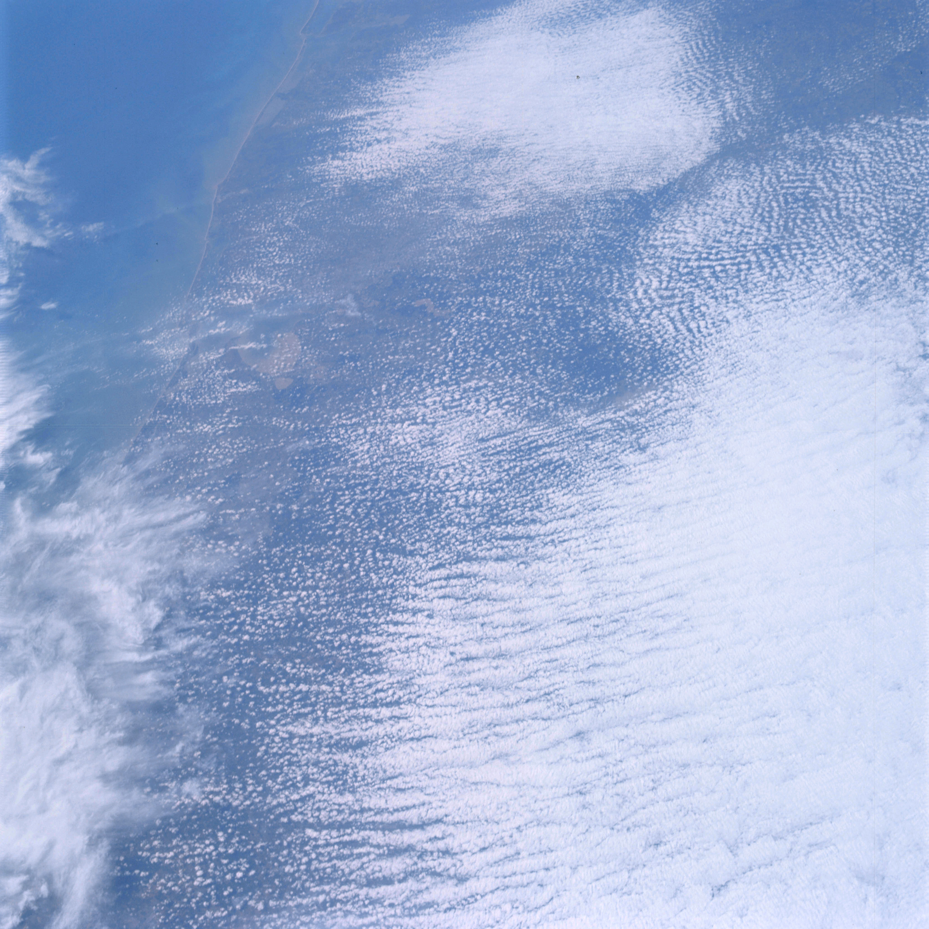 | AS09-19-2991 GEOGRAPHY /CARTOGRAPHY: United States, Texas, Matagorda and Galveston Bays, Houston, Galveston, Victoria, and Freeport. GEOLOGY/HYDROLOGY: Gulf Coast plains. METEOROLOGY: Alto-cumulus, cirrus spissatus. OCEANOGRAPHY: Gulf of Mexico, sediments, deposit near coastal areas. Image credit: Image Science and Analysis Laboratory, NASA-Johnson Space Center. |
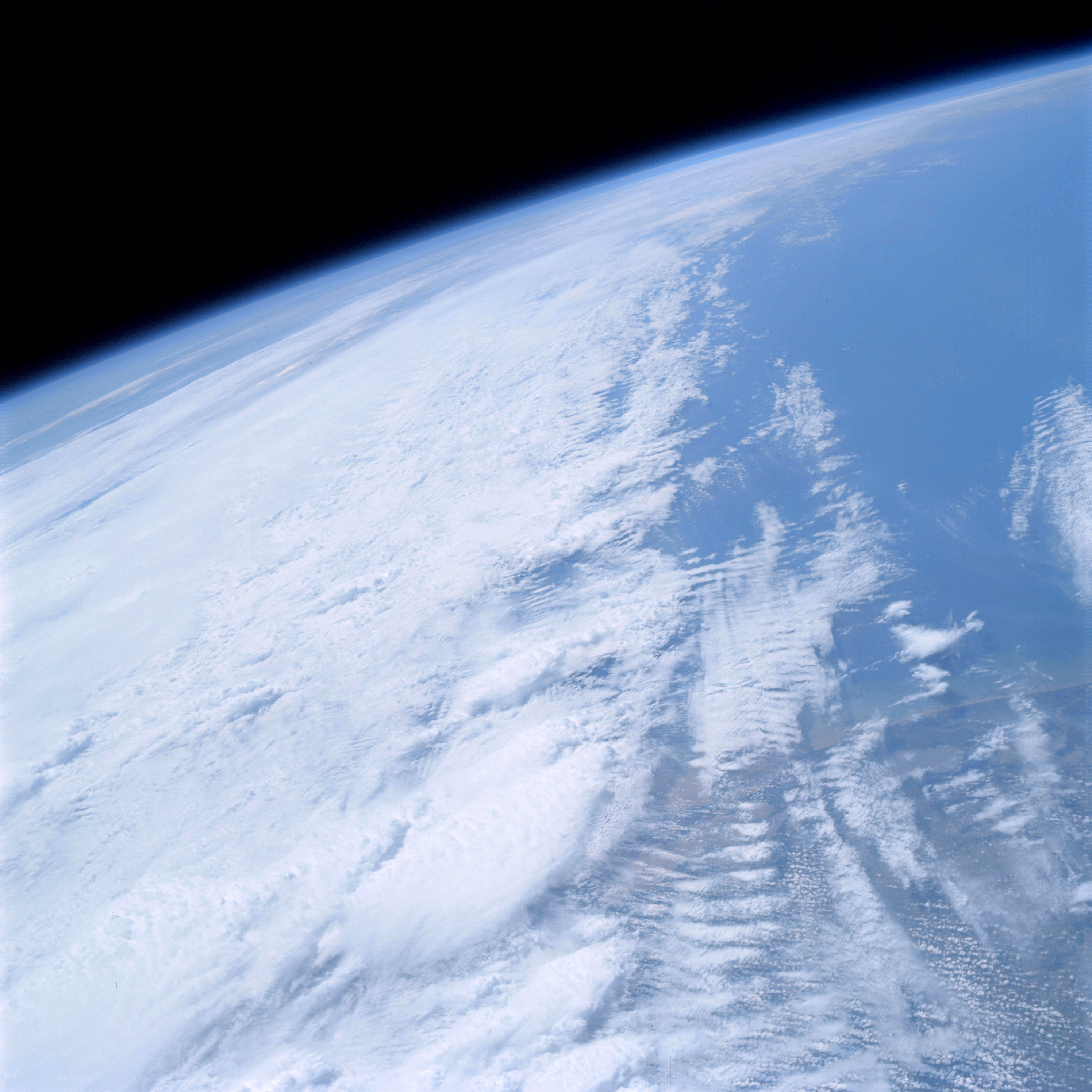 | AS09-19-2992 GEOGRAPHY/CARTOGRAPHY: United States, Texas, Louisiana Gulf Coast, White Lake, Vermilion Bay. GEOLOGY/HYDROLOGY: Coastal plain. METEOROLOGY: Nimbo-stratus, alto-cumulus, cirrus-cumulus. Image credit: Image Science and Analysis Laboratory, NASA-Johnson Space Center. |
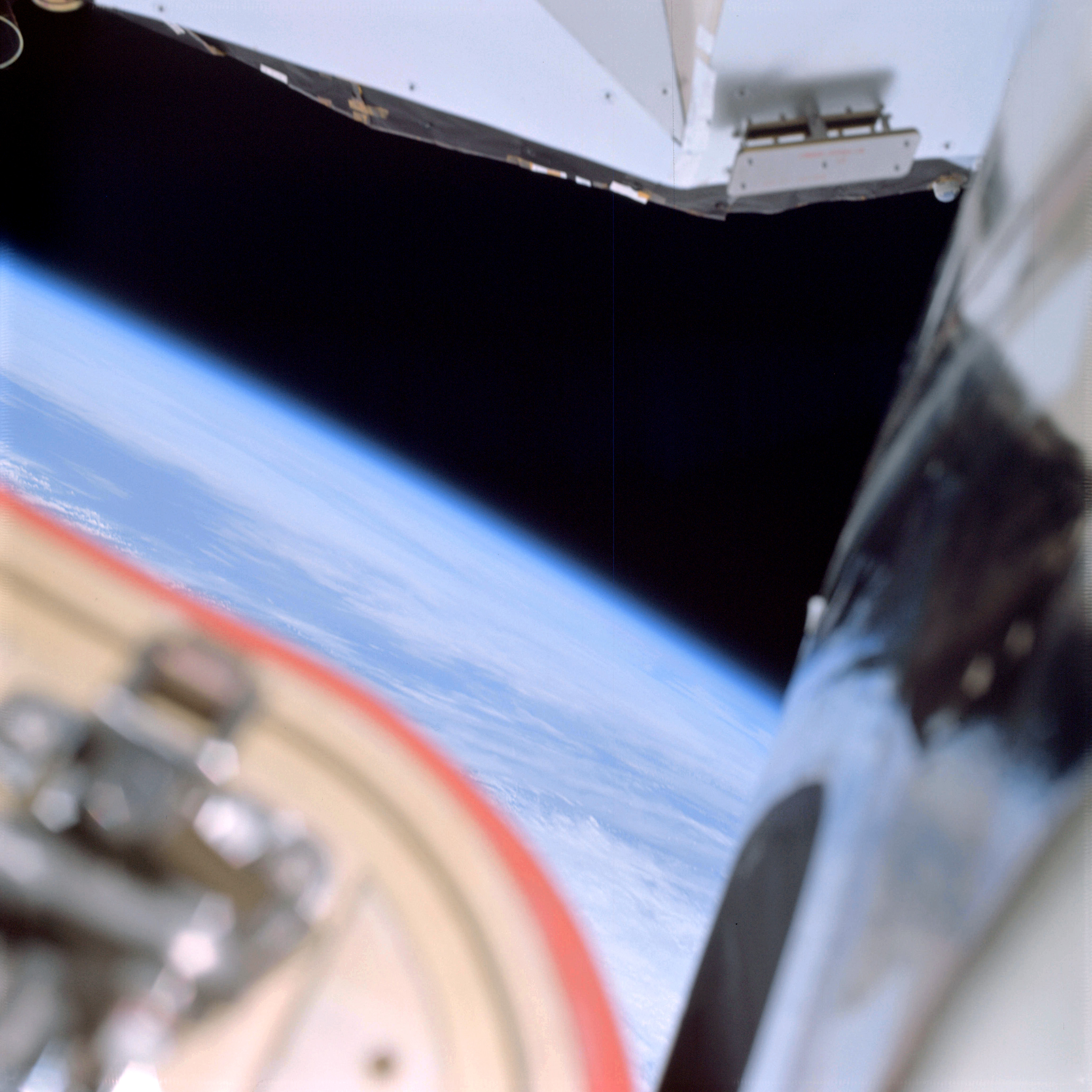 | AS09-19-2993 E.V.A. activity – out of focus Image credit: Image Science and Analysis Laboratory, NASA-Johnson Space Center. |
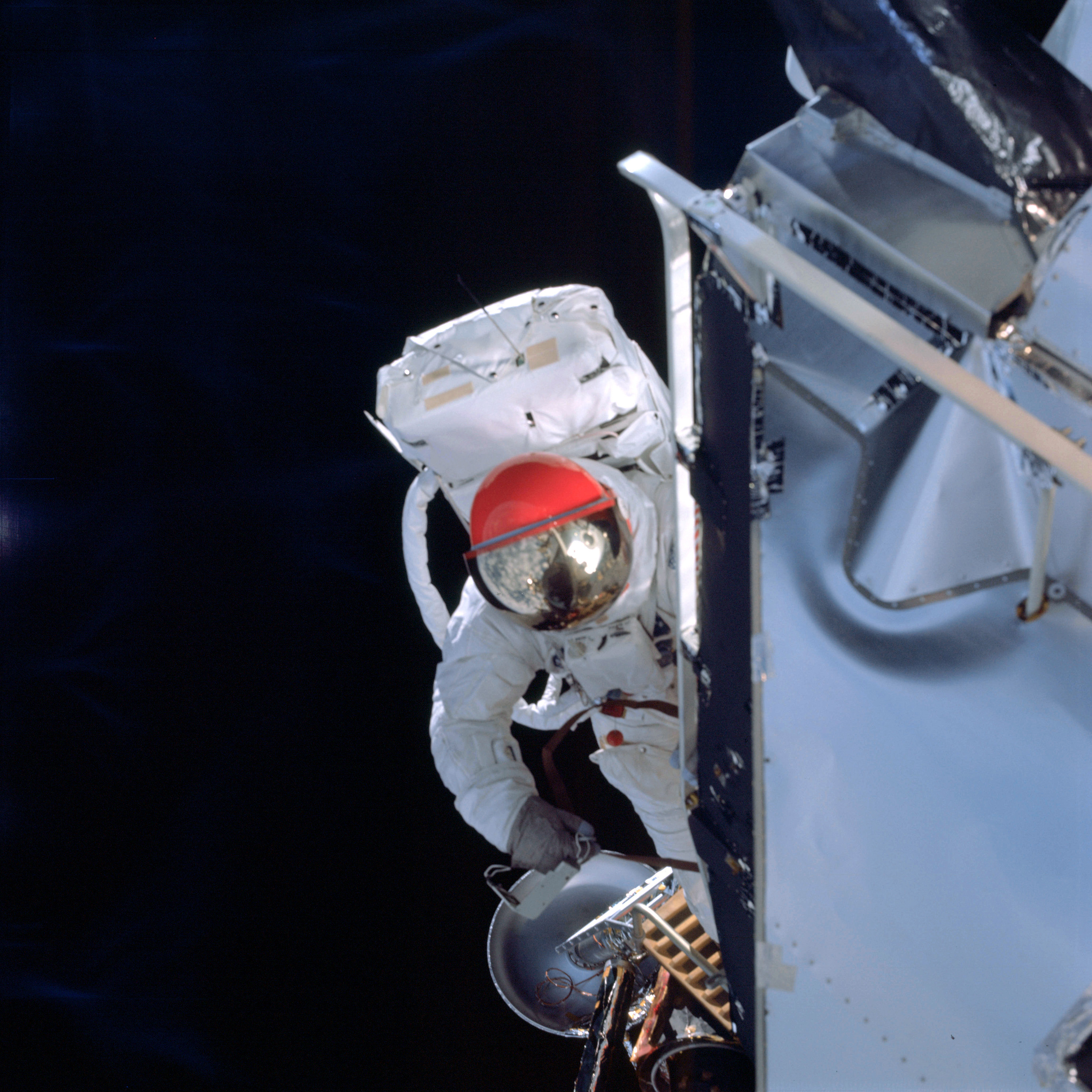 | AS09-19-2994 E.V.A. activities of LM Pilot Schweickart Image credit: Image Science and Analysis Laboratory, NASA-Johnson Space Center. |
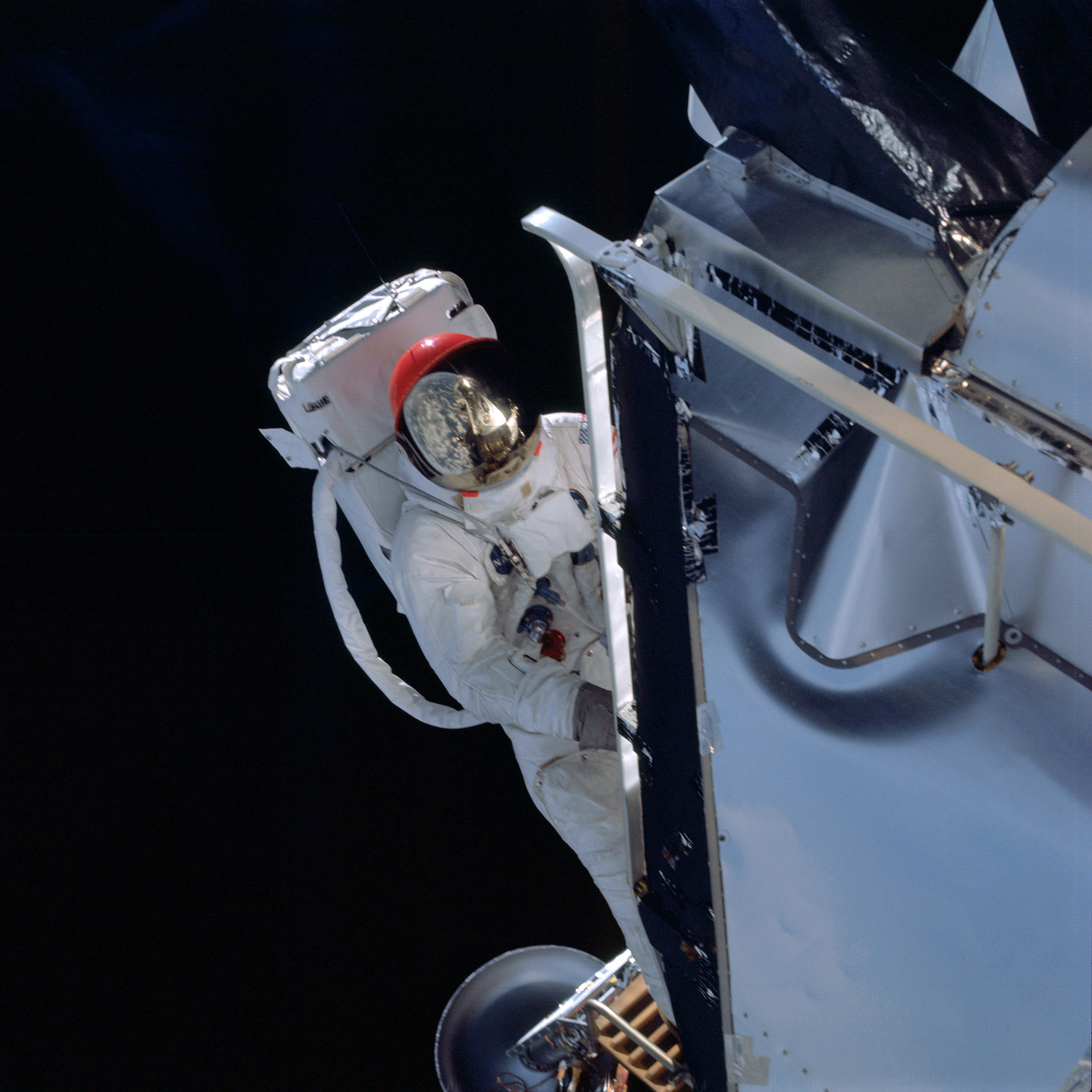 | AS09-19-2995 E.V.A. activities of LM Pilot Schweickart Image credit: Image Science and Analysis Laboratory, NASA-Johnson Space Center. |
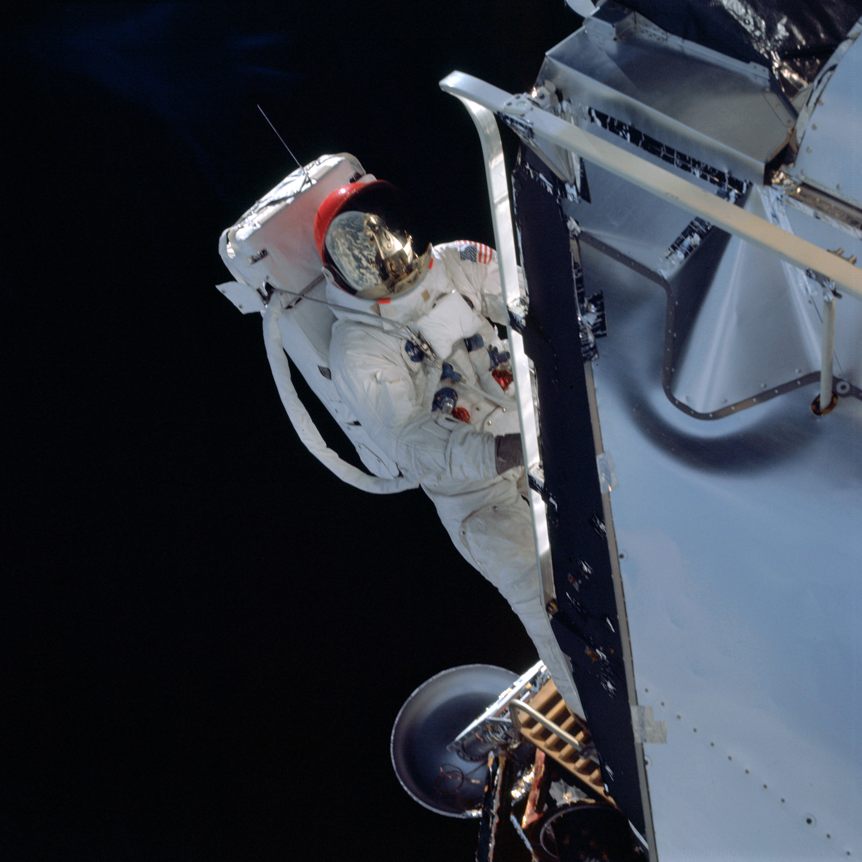 | AS09-19-2996 E.V.A. activities of LM Pilot Schweickart Image credit: Image Science and Analysis Laboratory, NASA-Johnson Space Center. |
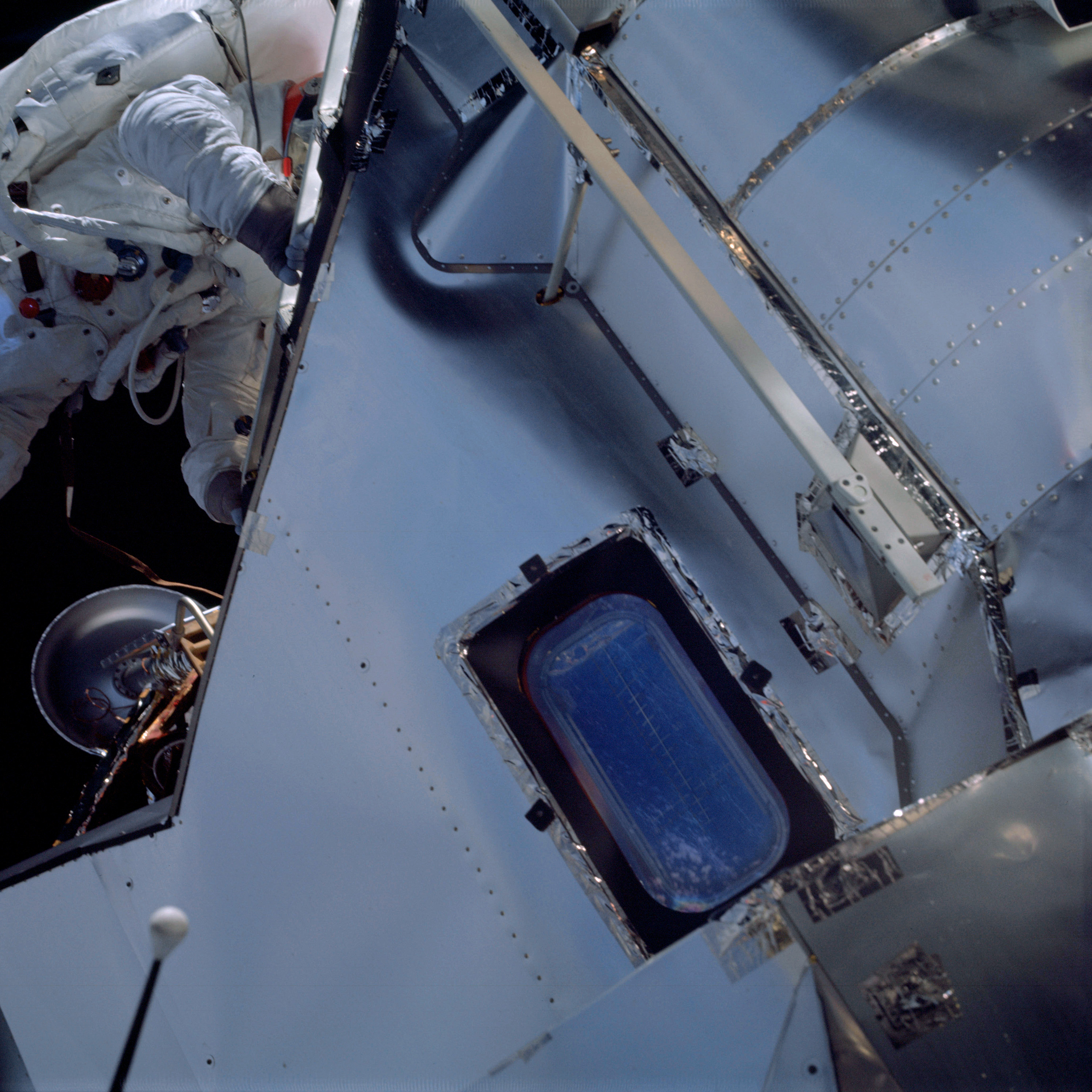 | AS09-19-2997 E.V.A. activities of LM Pilot Schweickart Image credit: Image Science and Analysis Laboratory, NASA-Johnson Space Center. |
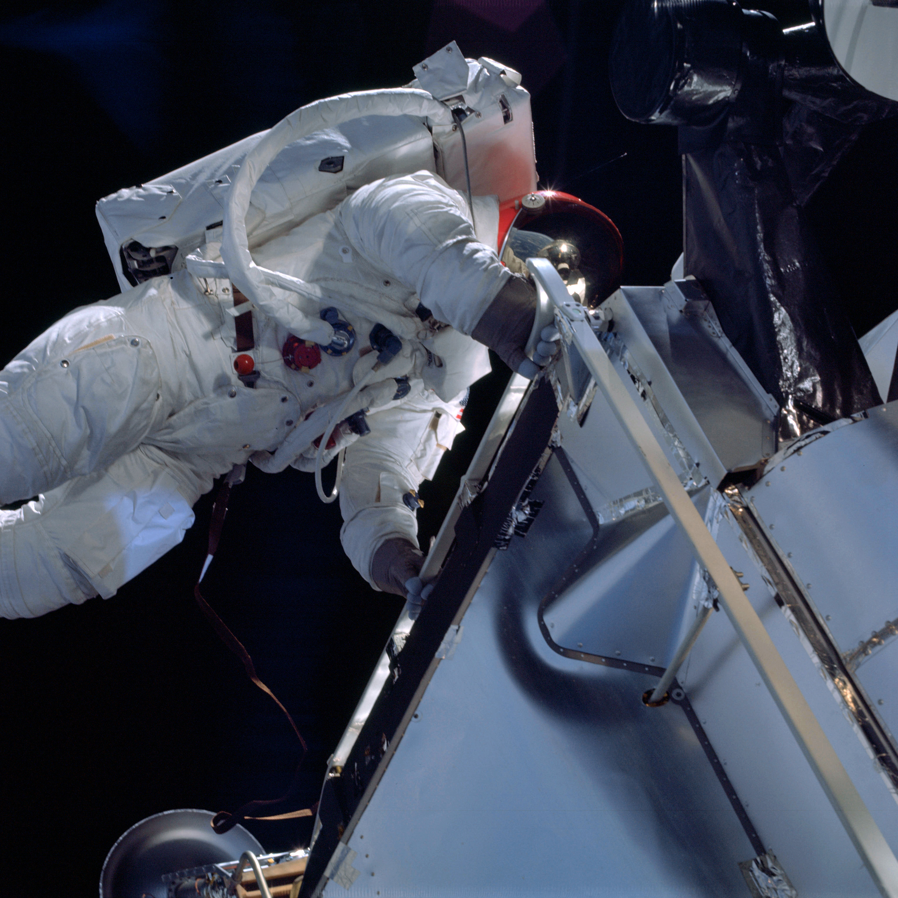 | AS09-19-2998 E.V.A. activities of LM Pilot Schweickart Image credit: Image Science and Analysis Laboratory, NASA-Johnson Space Center. |
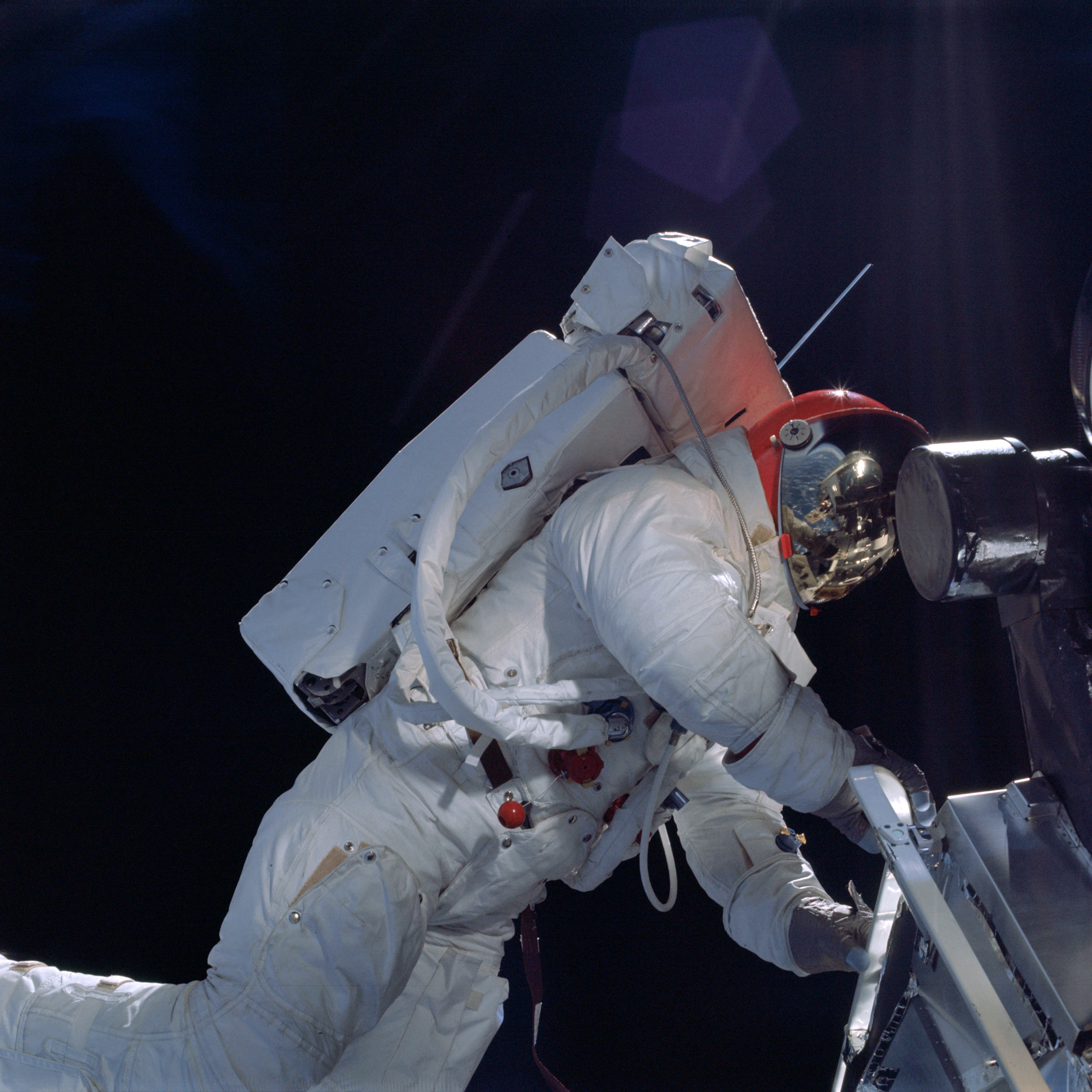 | AS09-19-2999 E.V.A. activities of LM Pilot Schweickart Image credit: Image Science and Analysis Laboratory, NASA-Johnson Space Center. |
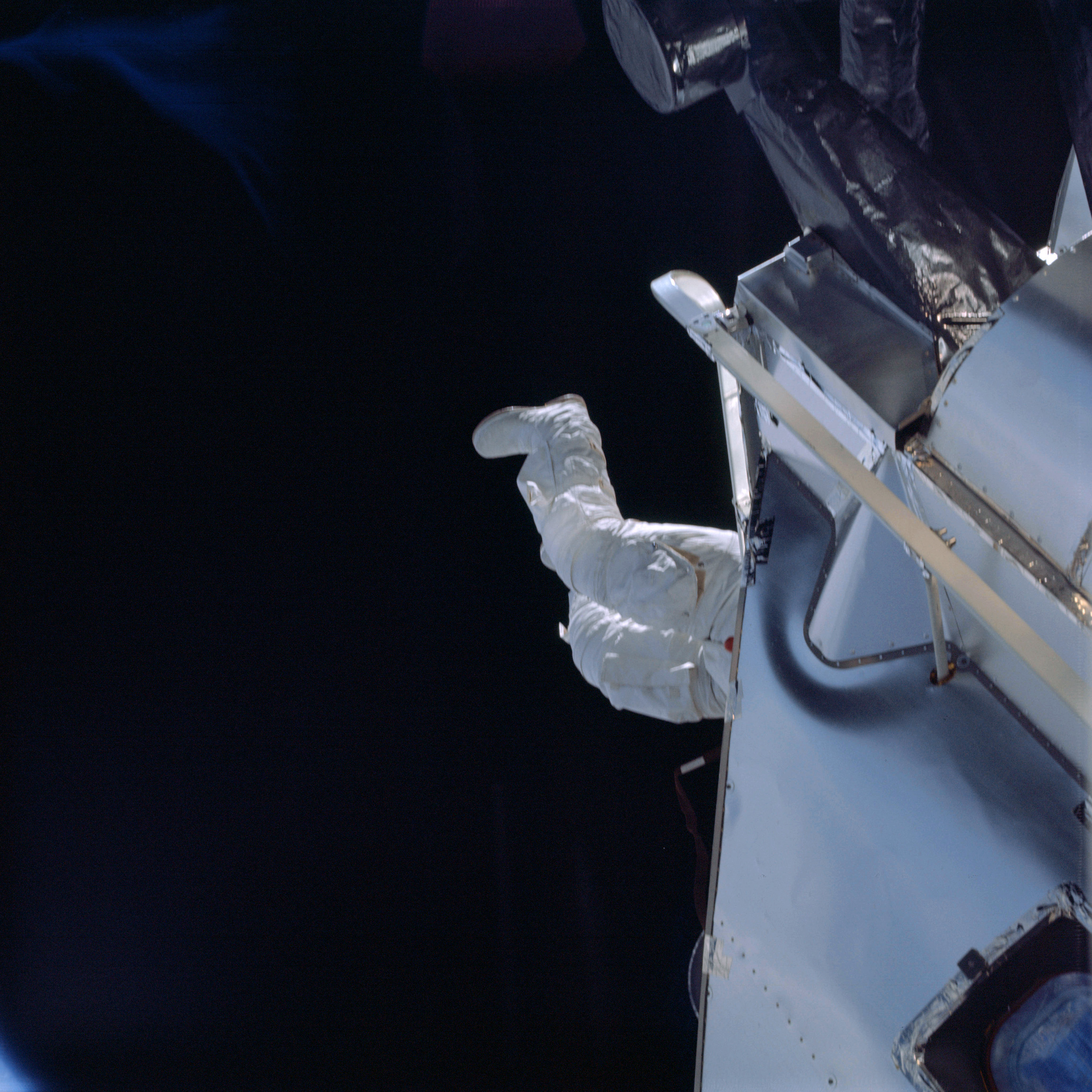 | AS09-19-3000 E.V.A. activities of LM Pilot Schweickart Image credit: Image Science and Analysis Laboratory, NASA-Johnson Space Center. |
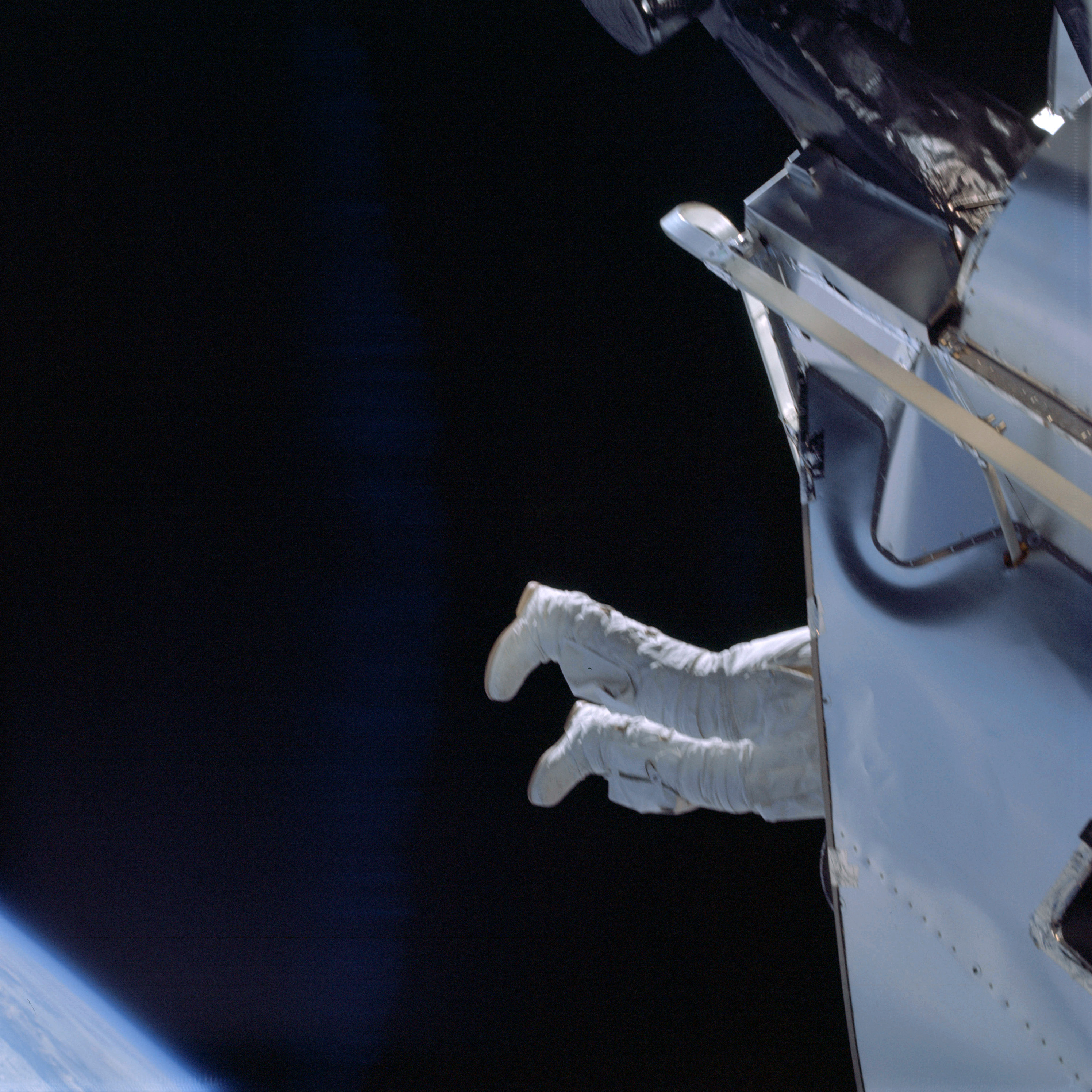 | AS09-19-3001 E.V.A. activities of LM Pilot Schweickart Image credit: Image Science and Analysis Laboratory, NASA-Johnson Space Center. |
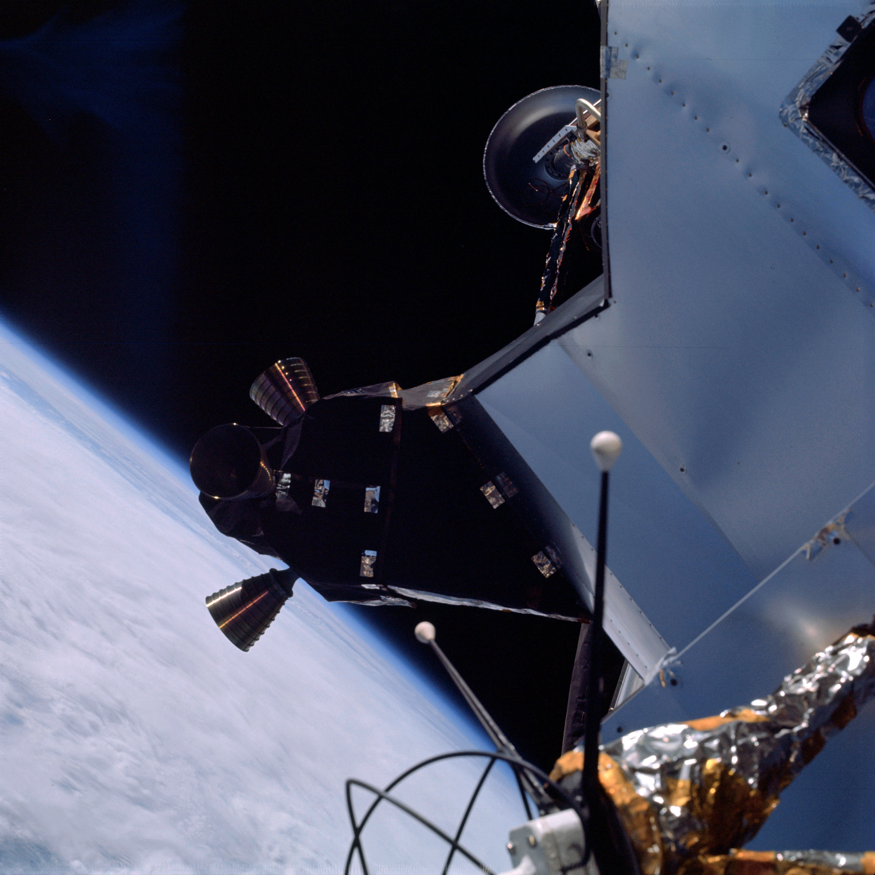 | AS09-19-3002 LM spacecraft Image credit: Image Science and Analysis Laboratory, NASA-Johnson Space Center. |
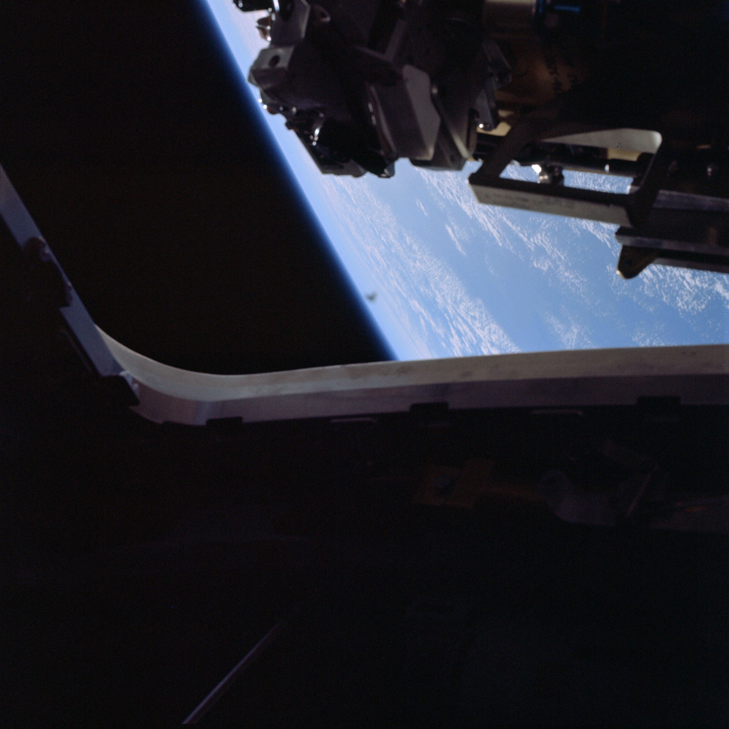 | AS09-19-3003 LM spacecraft Image credit: Image Science and Analysis Laboratory, NASA-Johnson Space Center. |
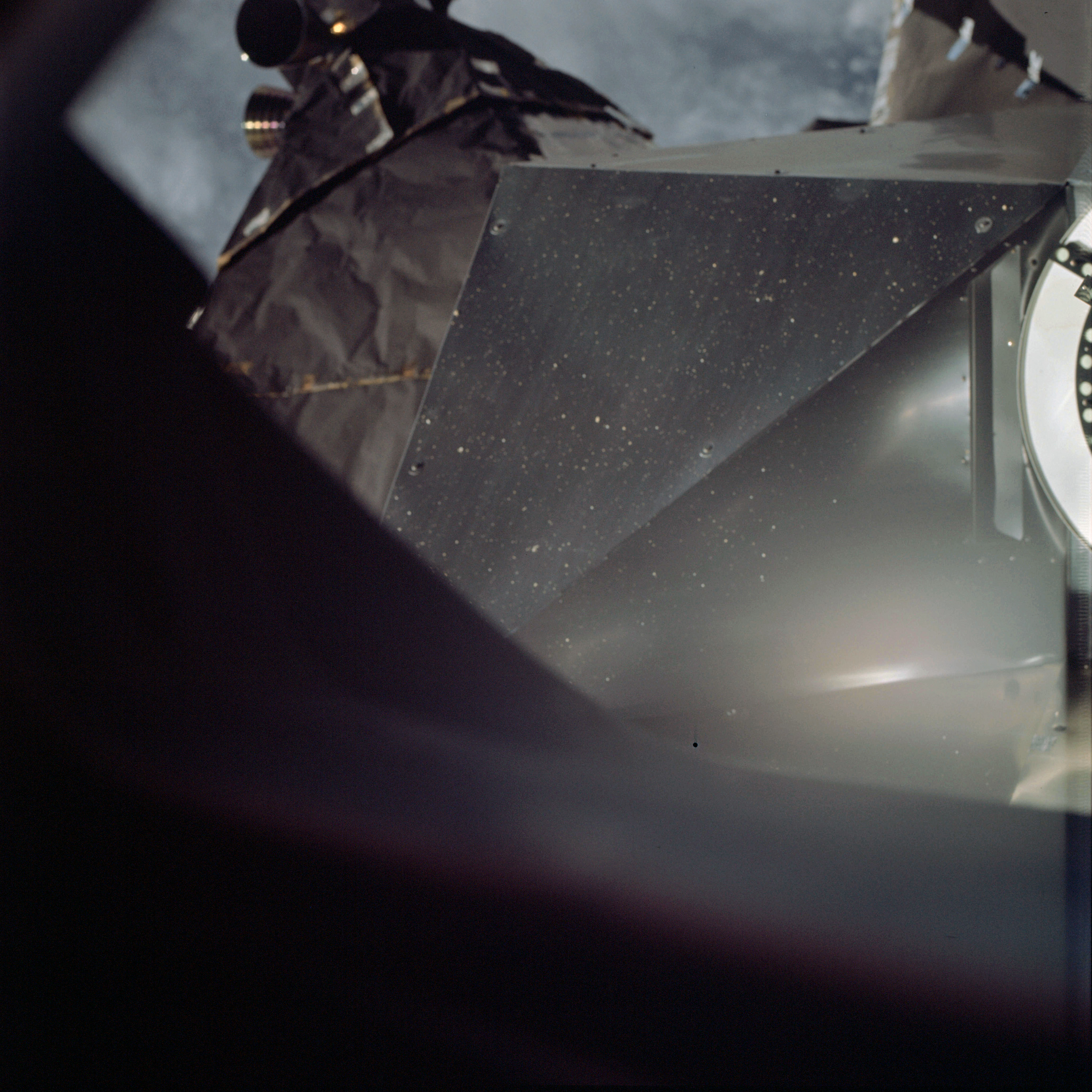 | AS09-19-3004 LM spacecraft Image credit: Image Science and Analysis Laboratory, NASA-Johnson Space Center. |
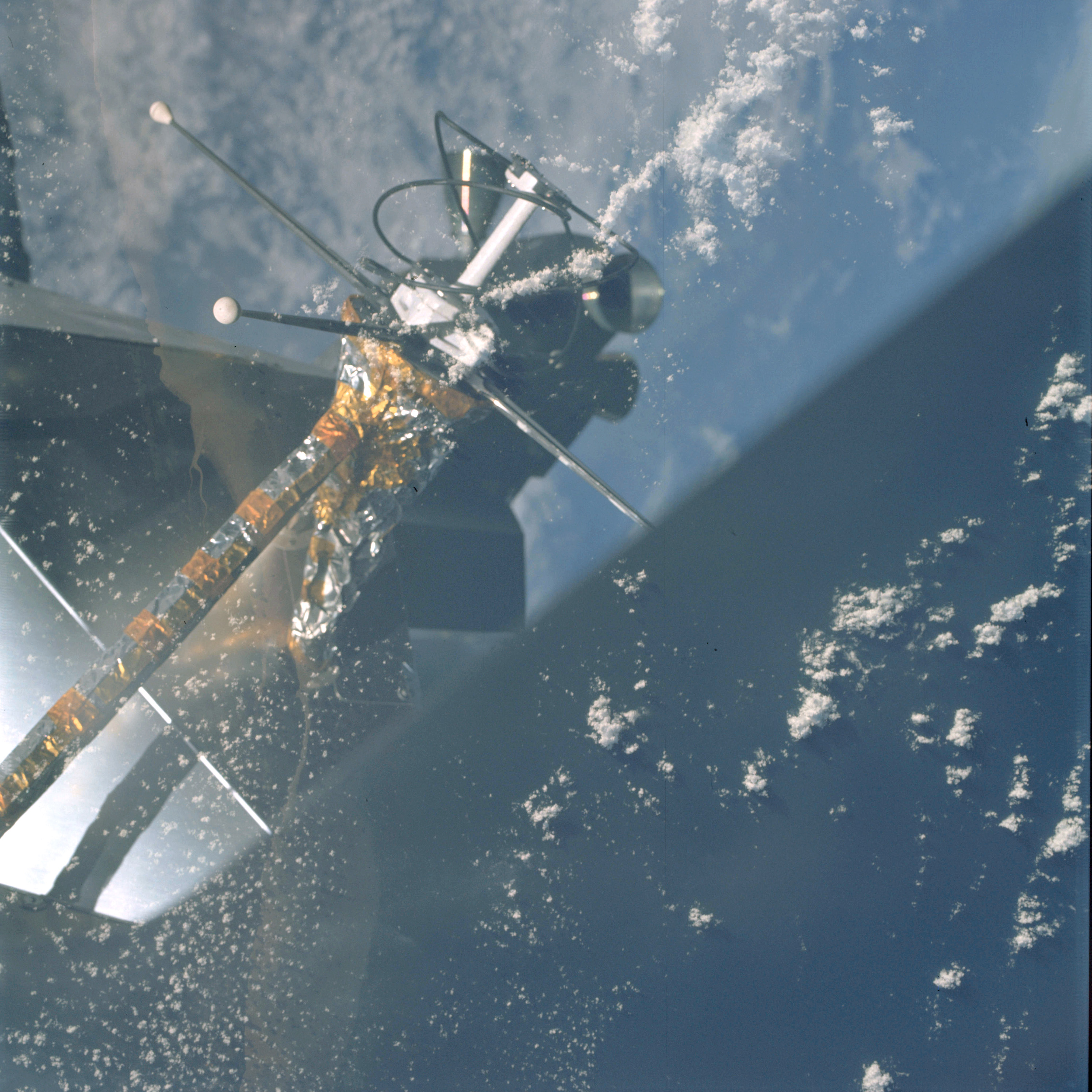 | AS09-19-3005 LM spacecraft Image credit: Image Science and Analysis Laboratory, NASA-Johnson Space Center. |
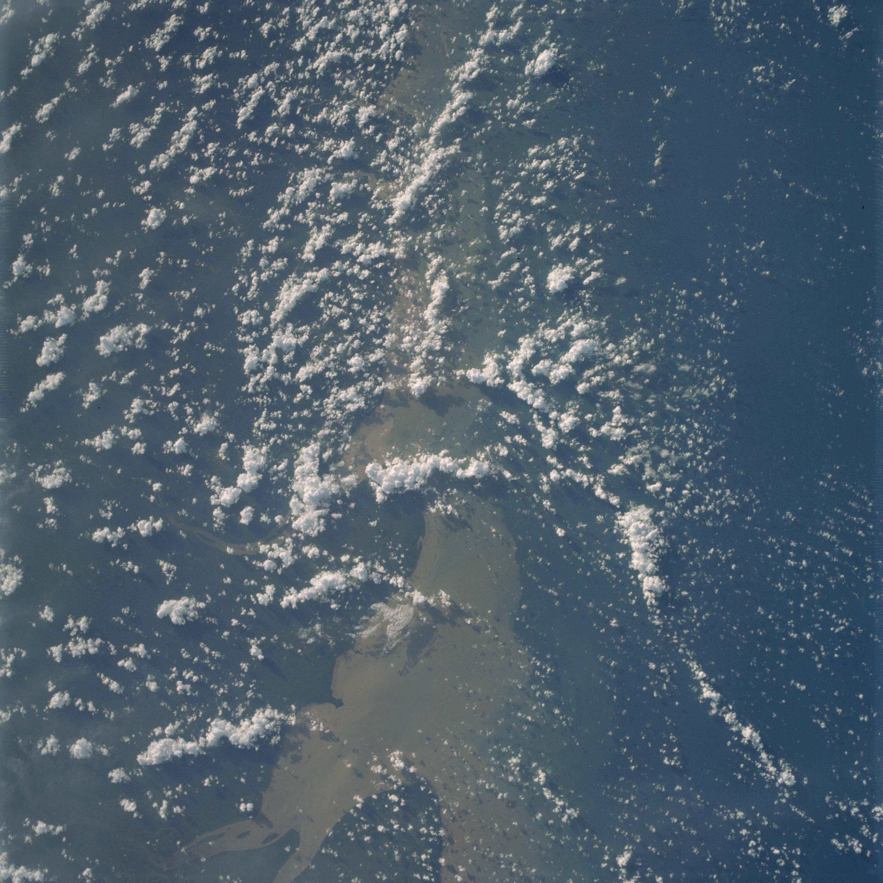 | AS09-19-3006 GEOGRAPHY/CARTOGRAPHY: South-America, Brazil, French Guiana, Cape Orange, Oiapoque River. GEOLOGY/HYDROLOGY: Coastal plain and deltaic flood plain. FORESTRY: Broadleaf evergreen forests. METEOROLOGY: Cumulus humilis, cumulus congestus. Image credit: Image Science and Analysis Laboratory, NASA-Johnson Space Center. |
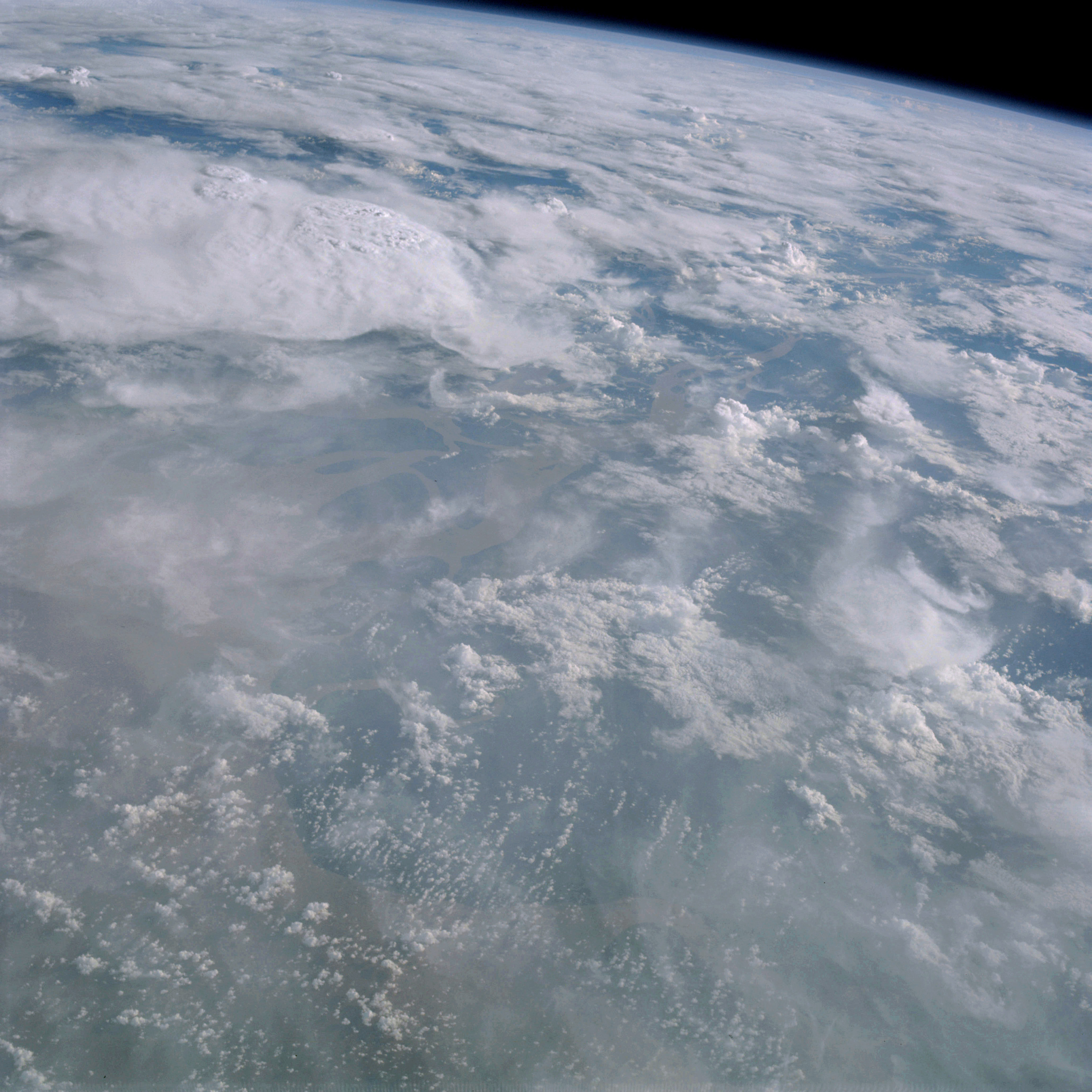 | AS09-19-3007 GEOGRAPHY/CARTOGRAPHY: South America, Brazil, Amazon River Delta. GEOLOGY/HYDROLOGY: Deltaic flood plain region. METEOROLOGY: Cumulo-nimbus with anvils, cumulus congestus, cirrus fibratus. Image credit: Image Science and Analysis Laboratory, NASA-Johnson Space Center. |
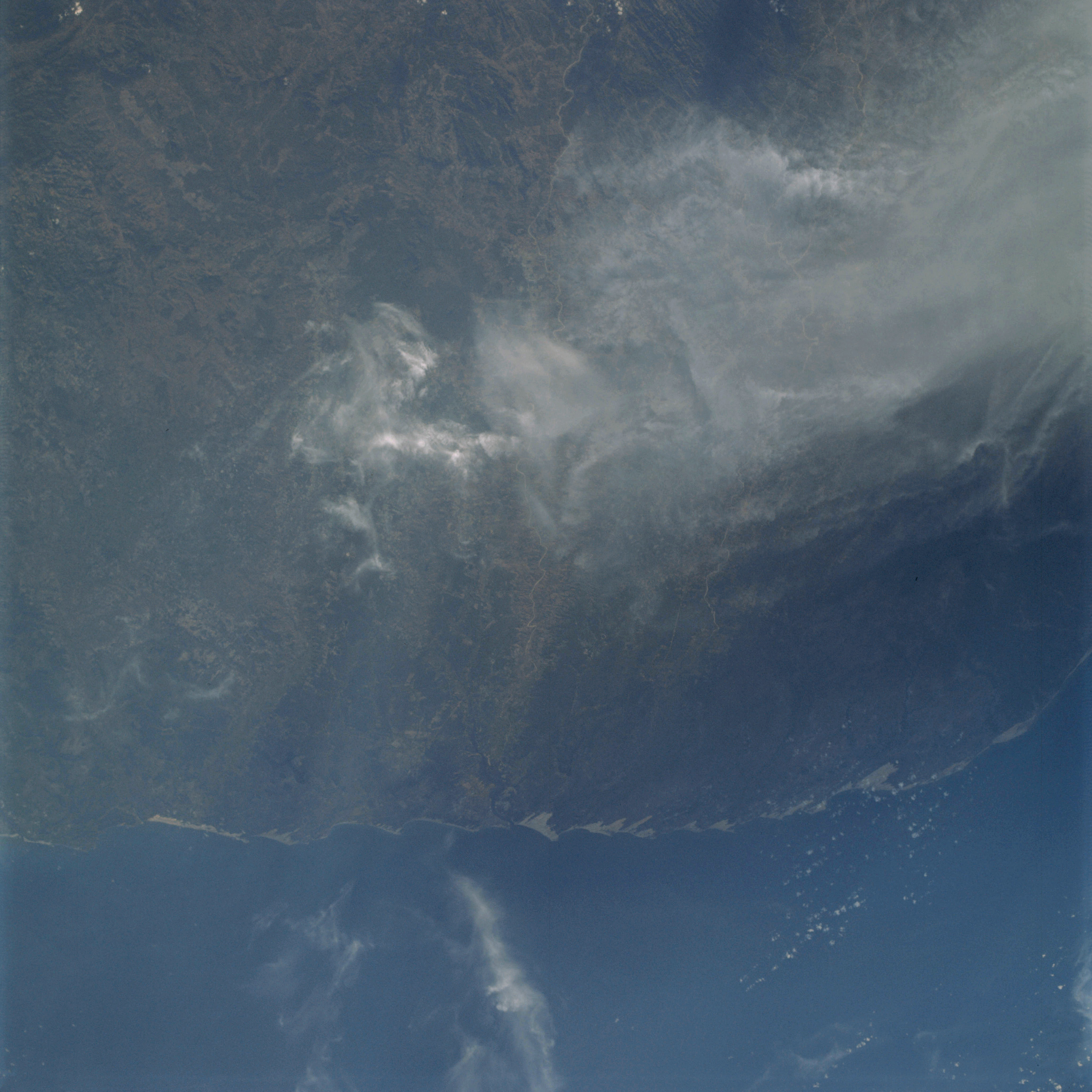 | AS09-19-3008 GEOGRAPHY/CARTOGRAPHY: South America, Brazil, Cape Sao Roque, Towns of Natal and Joao Pessoa, Atlantic Ocean GEOLOGY/HYDROLOGY: Coastal plain region. AGRICULTURE: Scattered field patterns. FORESTRY: Semi-dense to dense stands of broadleaf evergreen. METEOROLOGY: Cirrus fibratus. Image credit: Image Science and Analysis Laboratory, NASA-Johnson Space Center. |
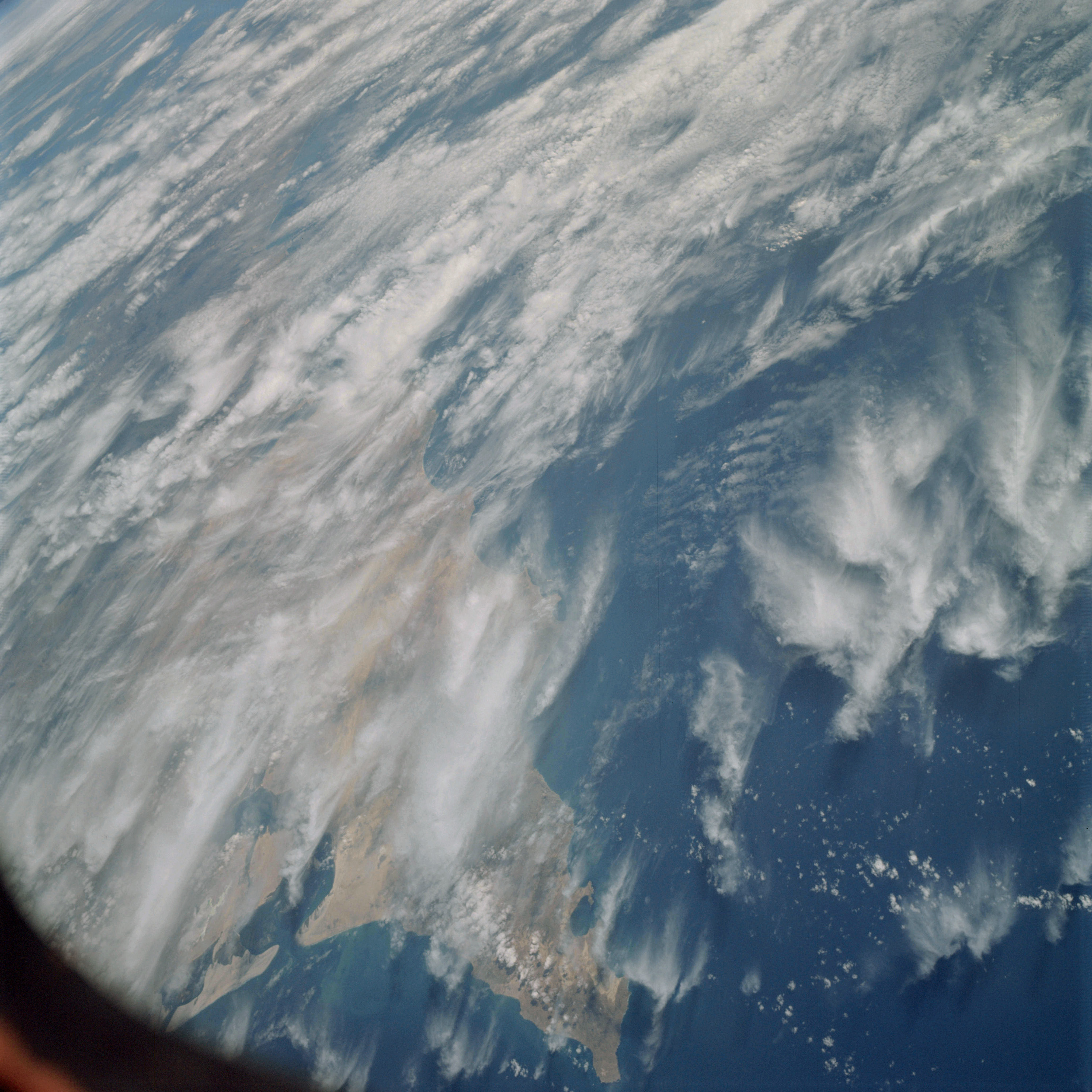 | AS09-19-3009 GEOGRAPHY/CARTOGRAPHY: Mexico, Baja California, Point Eugene, Scammon Lagoon, Vizcaino Mountains, Vizcaino Desert, Pacific Ocean. GEOLOGY/HYDROLOGY: Complex mountains and alluvial deposits. FORESTRY: Desert shrubform. METEOROLOGY: Cirrus, cumulus humilis, strato-cumulus. Image credit: Image Science and Analysis Laboratory, NASA-Johnson Space Center. |
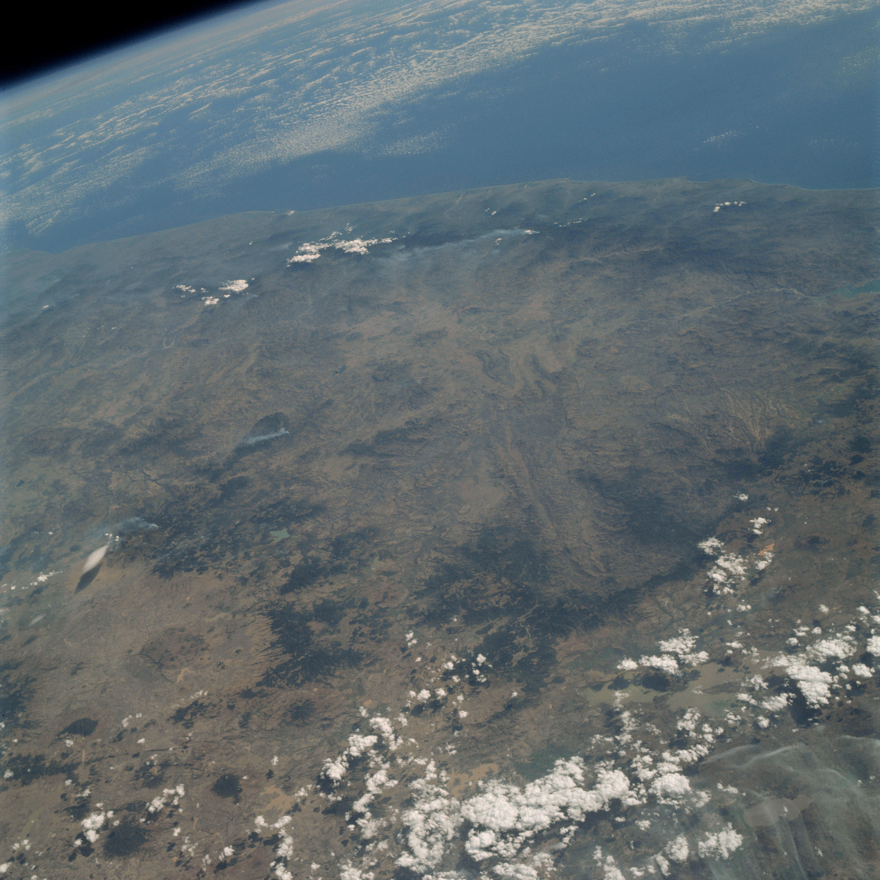 | AS09-19-3010 GEOGRAPHY/CARTOGRAPHY: Mexico, Michoacan, Mexico and Guerrero Provinces, Sierra Madre del Sur, Lake Cuitzso, Town of Ciudad Hidalgo and Toluca, Gulf of Mexico. GEOLOGY/HYDROLOGY: Complex volcanic mountains. FORESTRY: Desert shrubform, numerous smoke plumes. METEOROLOGY: Cumulus humilis, cumulus congestus. Image credit: Image Science and Analysis Laboratory, NASA-Johnson Space Center. |
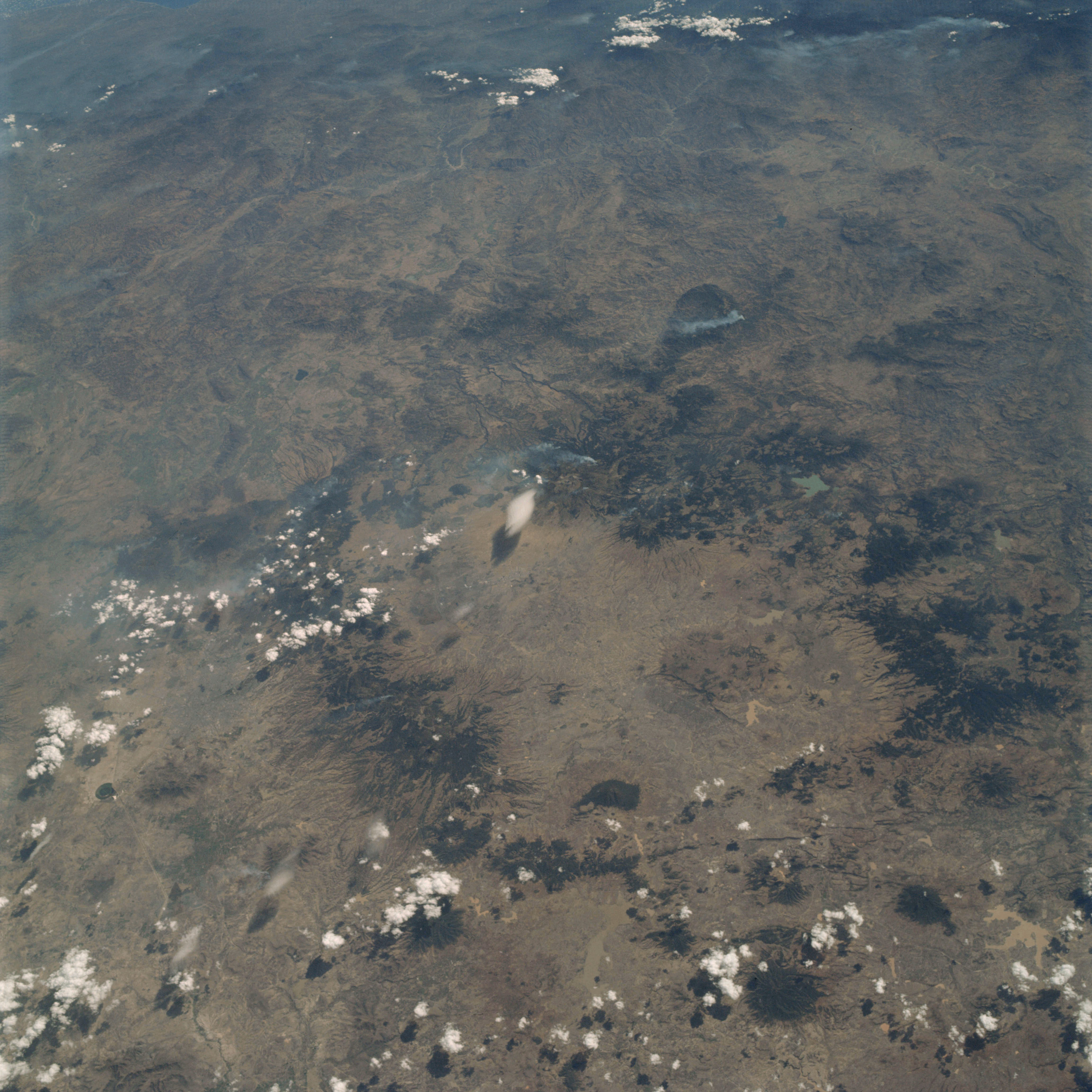 | AS09-19-3011 GEOGRAPHY/CARTOGRAPHY: Mexico, Mexico City, Toluca, Sierra Madre del Sur. GEOLOGY/HYDROLOGY: Complex volcanic mountains. AGRICULTURE: Range lands. FORESTRY: Desert shrubform, numerous smoke plumes. METEOROLOGY: Cumulus humilis. Image credit: Image Science and Analysis Laboratory, NASA-Johnson Space Center. |
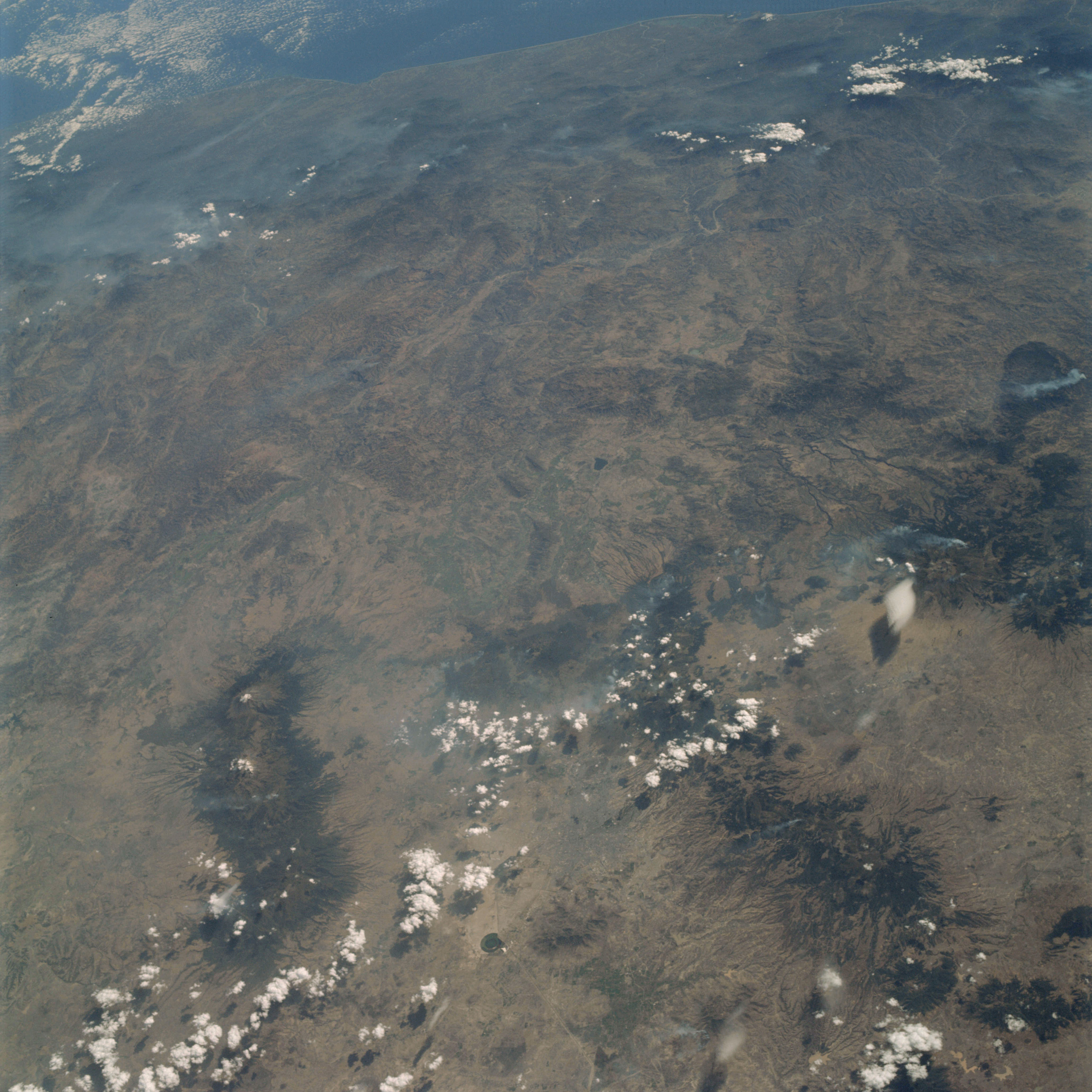 | AS09-19-3012 GEOGRAPHY/CARTOGRAPHY: Mexico, Mexico City, Towns of Coyoacan and Xochimilco, Sierra Madre del Sur, Gulf of Mexico, Bay of Campeche. GEOLOGY/HYDROLOGY: Complex volcanic mountains and coastal plain. AGRICULTURE: Range land. FORESTRY: Desert shrubform, numerous smoke plumes. METEOROLOGY: Cumulus humilis, alto-cumulus. Image credit: Image Science and Analysis Laboratory, NASA-Johnson Space Center. |
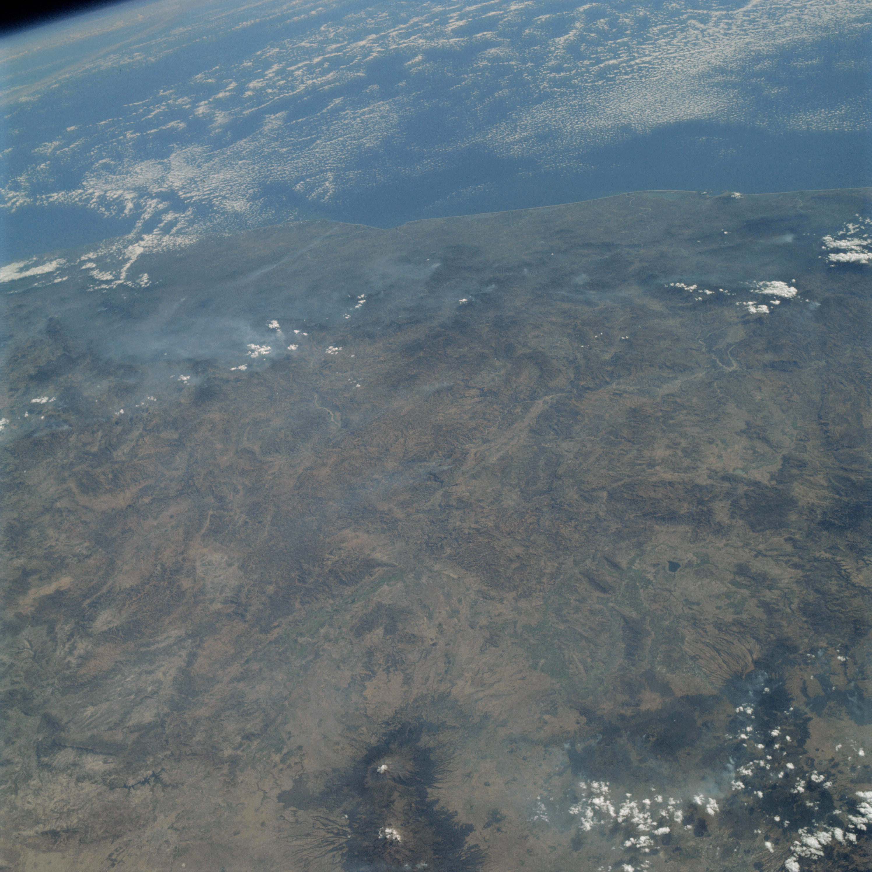 | AS09-19-3013 GEOGRAPHY /CARTOGRAPHY: Mexico, Mount Popocatepetl, Puebla, Cuernavala and Acapulco, Gulf of Mexico, Bay of Campeche. GEOLOGY/HYDROLOGY: Complex volcanic mountains and coastal plain. AGRICULTURE: Range land. FORESTRY: Desert shrubform. METEOROLOGY: Cumulus humilis, alto-cumulus, smoke. Image credit: Image Science and Analysis Laboratory, NASA-Johnson Space Center. |
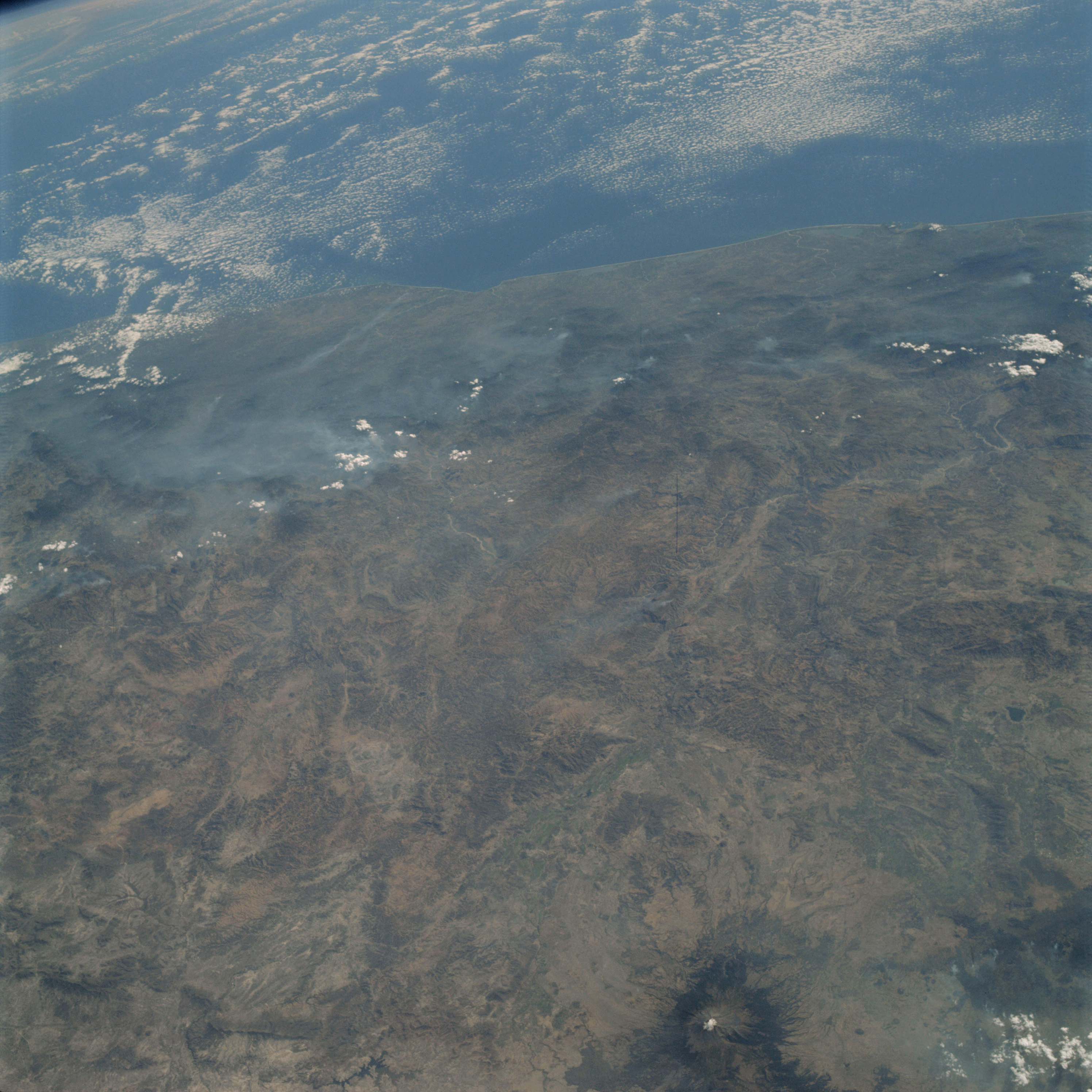 | AS09-19-3014 GEOGRAPHY/CARTOGRAPHY: Mexico, Sierra Madre del Sur, Cuernavala, Matamorus and Acapulco, Mount Popocatepetl, Gulf of Mexico, Bay of Campeche. GEOLOGY/HYDROLOGY: Volcanic mountains and coastal plain. AGRICULTURE: Range land. FORESTRY: Desert shrubform, numerous smoke plumes. METEOROLOGY: Cumulus humilis, alto-cumulus. Image credit: Image Science and Analysis Laboratory, NASA-Johnson Space Center. |
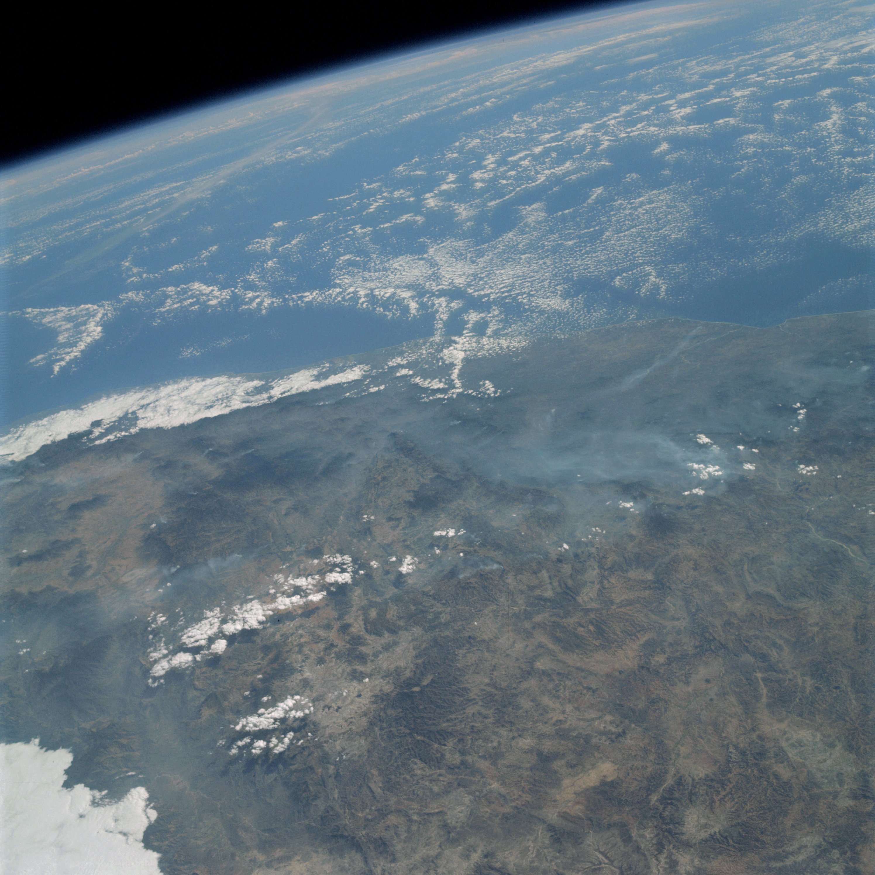 | AS09-19-3015 GEOGRAPHY/CARTOGRAPHY: Mexico, Sierra Madre del Sur, Mount Cerro Yucuyalus, Town of Tehaucan, Gulf of Mexico, Bay of Compeche. GEOLOGY/HYDROLOGY: Complex volcanic mountains and coastal plain. AGRICULTURE: Range land. FORESTRY: Desert shrubform, numerous smoke plumes. METEOROLOGY: Cumulus humilis, cumulus congestus, alto-cumulus, smoke. Image credit: Image Science and Analysis Laboratory, NASA-Johnson Space Center. |
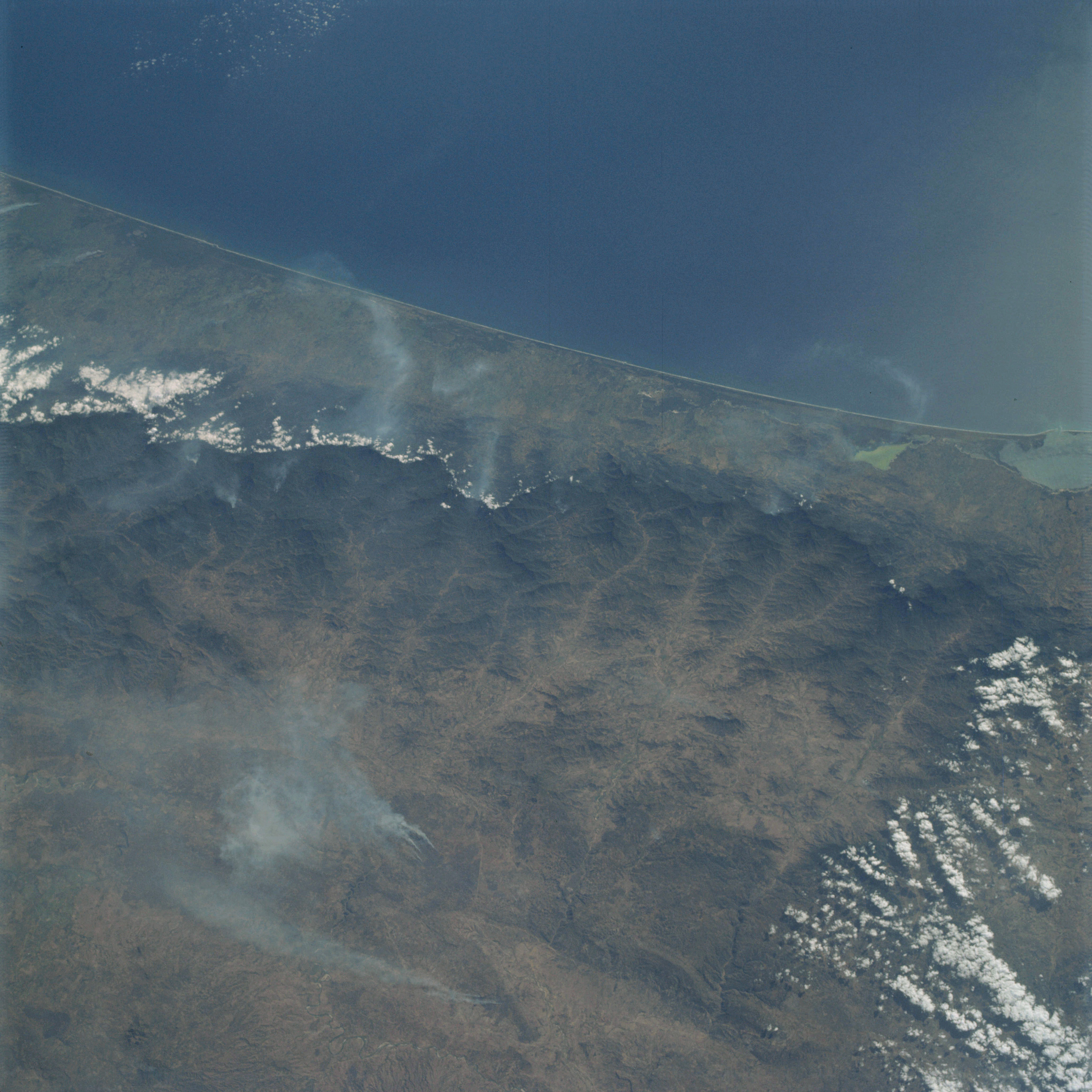 | AS09-19-3016 GEOGRAPHY/CARTOGRAPHY: Mexico, Chiapas Province, Sierra Madre, Mar Muerto, Town of Tunala, Pacific Ocean, Gulf of Tehuantepec. GEOLOGY/HYDROLOGY: Complex mountains and coastal plain. FORESTRY: Mixed broadleaf evergreen and broadleaf deciduous forests, numerous smoke plumes. METEOROLOGY: Cumulus humilis, cumulus congestus, smoke. Image credit: Image Science and Analysis Laboratory, NASA-Johnson Space Center. |
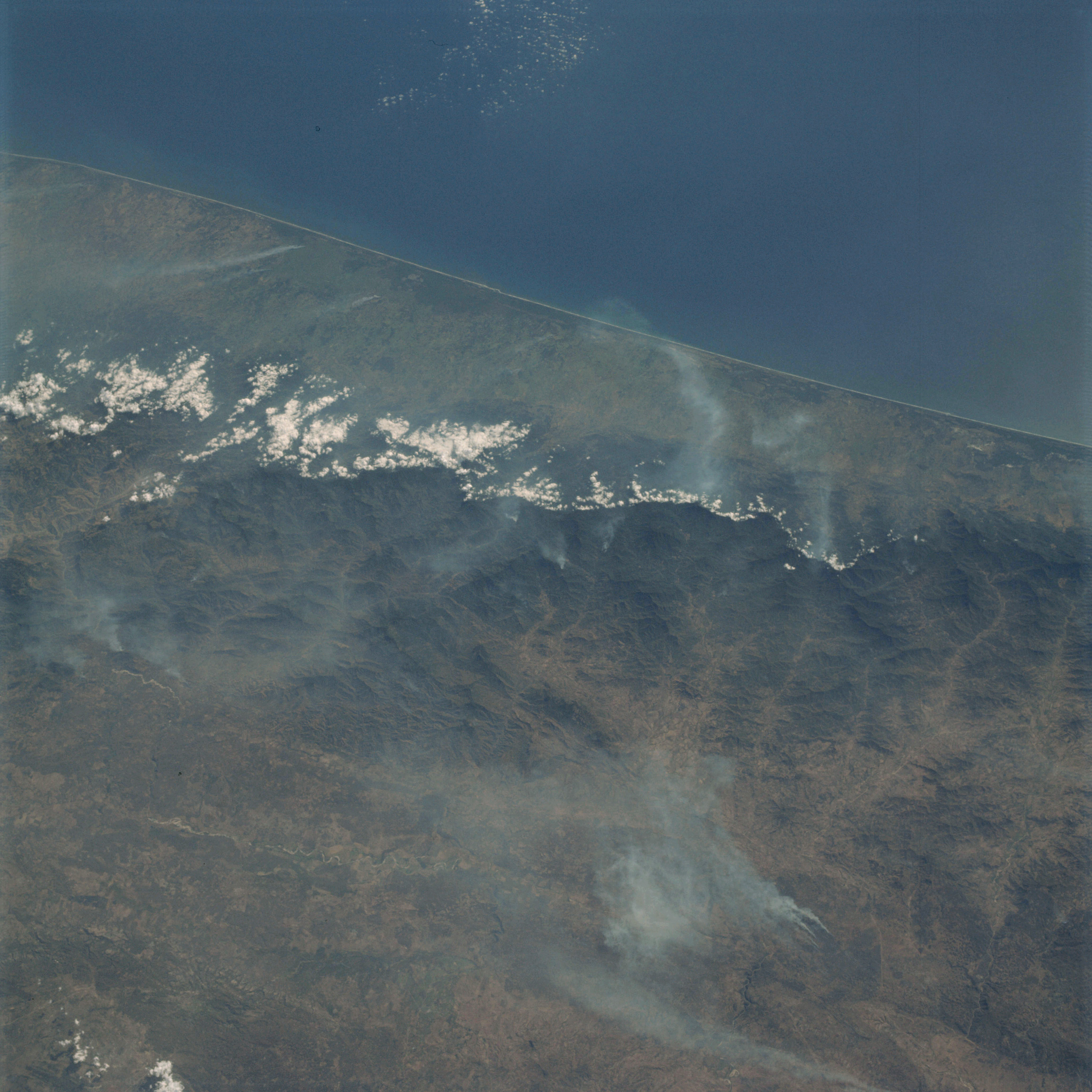 | AS09-19-3017 GEOGRAPHY/CARTOGRAPEY: Mexico, Chiapas Province, Sierra Madre, Towns of Huixta and Tapachula, Pacific Ocean, Gulf of Tehuantepec. GEOLOGY/HYDROLOGY: Complex mountains and coastal plain. AGRICULTURE: Scattered irregular field pattern. FORESTRY: Mixed broadleaf evergreen and broadleaf deciduous forests, numerous smoke plumes. METEOROLOGY: Cumulus humilis, smoke. Image credit: Image Science and Analysis Laboratory, NASA-Johnson Space Center. |
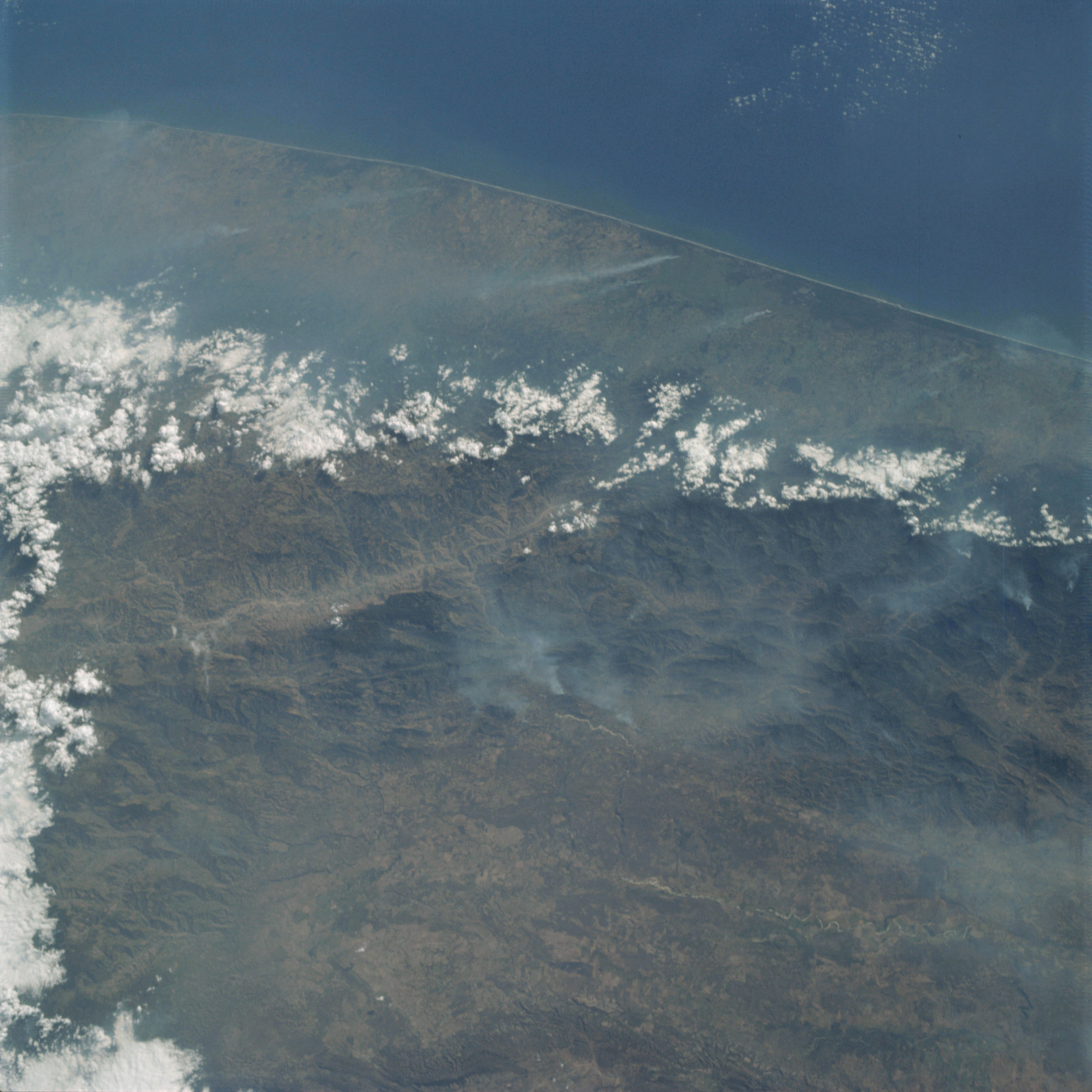 | AS09-19-3018 GEOGRAPHY/CARTOGRAPHY: Mexico, Guatemala, Sierra Madre, Towns of Tapachula, Quezaltenanco, and Mazatenango, Pacific Ocean, Gulf of Tehuantepec GEOLOGY HYDROLOGY: Complex mountains and coastal plain. AGRICULTURE: Scattered irregular field patterns. FORESTRY: Mixed broadleaf evergreen and broadleaf deciduous forests, numerous smoke plumes. METEOROLOGY: Cumulus humilis, cumulus congestus. Image credit: Image Science and Analysis Laboratory, NASA-Johnson Space Center. |
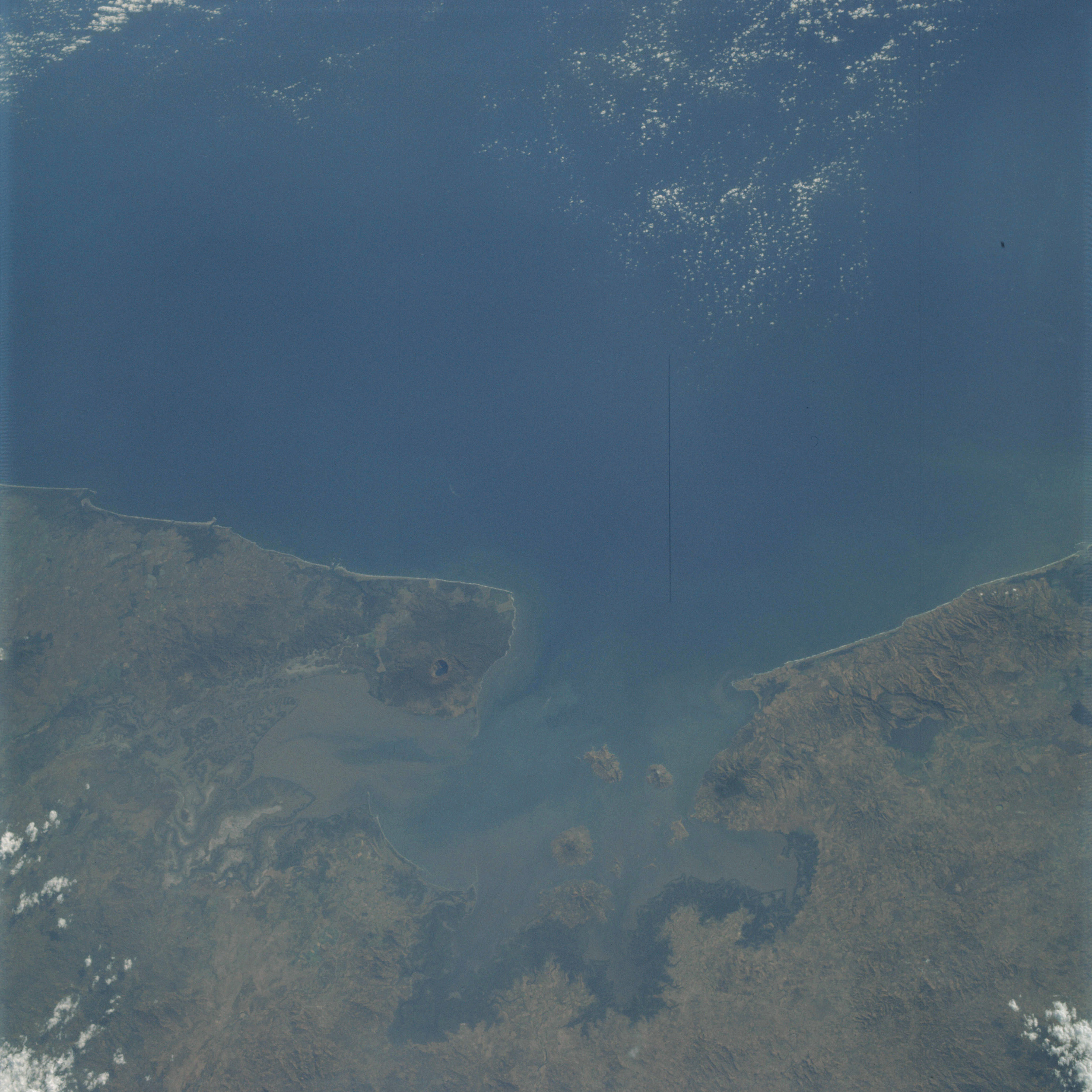 | AS09-19-3019 GEOGRAPHY/CARTOGRAPHY: El Salvador, Honduras, Nicaragua, Gulf of Fonseca, Points Amapala and Cosiguins, Cosiguins Volcano, San Lorenzo Bay. GEOLOGY/HYDROLOGY: Volcanic and complex mountains with a narrow coastal plain. AGRICULTURE: Scattered small field patterns. FORESTRY: Mixed broadleaf evergreen and deciduous forests, coastal marsh grasses. METEOROLOGY: Cumulus humilis. OCEANOGRAPHY: Pacific Ocean, Gulf of Fonseca, salt and fresh water interface, probably incoming tide. Image credit: Image Science and Analysis Laboratory, NASA-Johnson Space Center. |
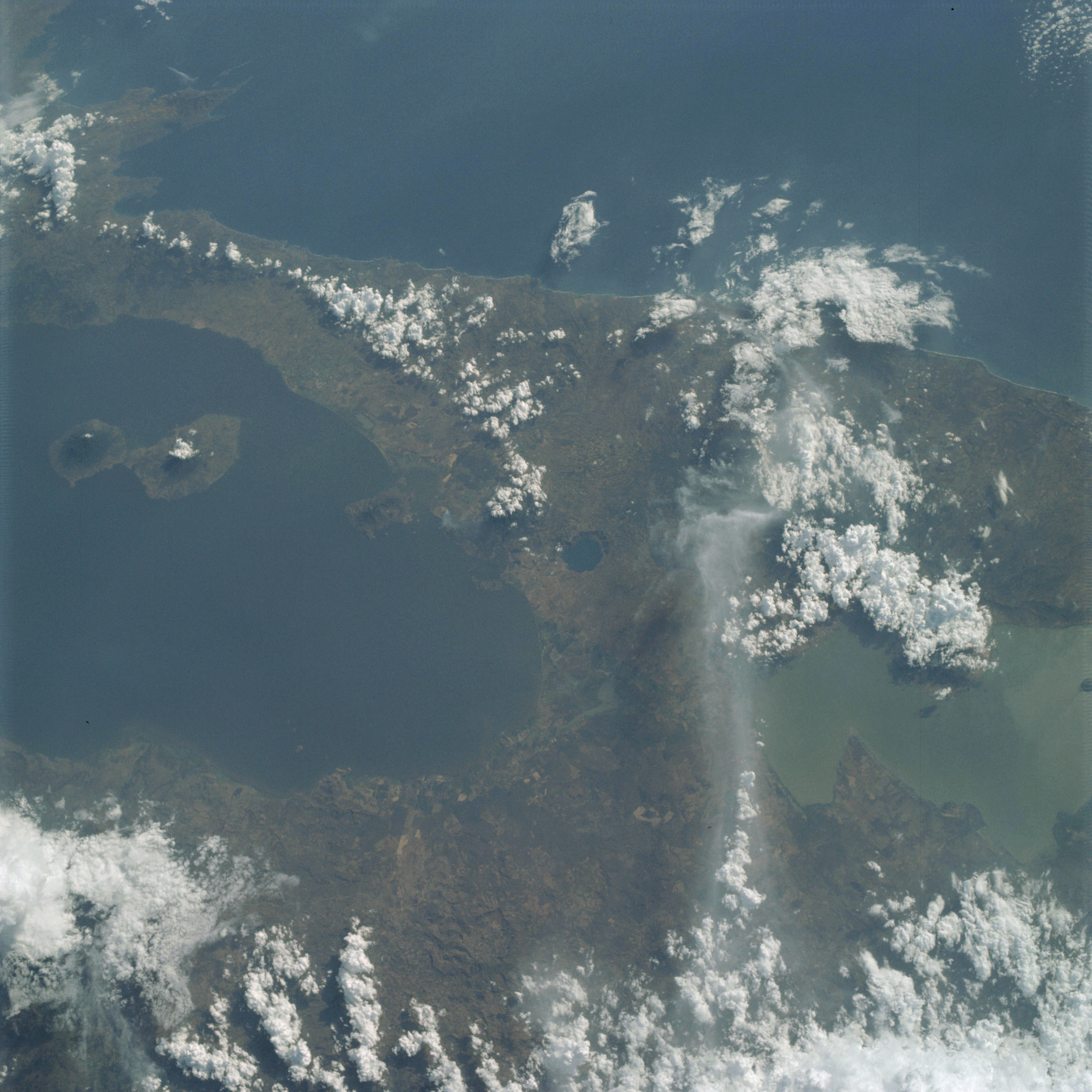 | AS09-19-3020 GEOGRAPHY/CARTOGRAPHY: Nicaragua, Lakes Managua and Nicaragua, Onetepe Island, City of Managua, Towns of Masaya, Granada, Jinotepe, Pacific Ocean, Gulf of Fonseca. GEOLOGY/HYDROLOGY: Complex plateaus, volcanoes and interior plains. AGRICULTURE: Numerous field patterns around lake. FORESTRY: Mixed broadleaf, evergreen and deciduous forests. METEOROLOGY: Cumulo-nimbus, cumulus congestus, cumulus humilis. Image credit: Image Science and Analysis Laboratory, NASA-Johnson Space Center. |
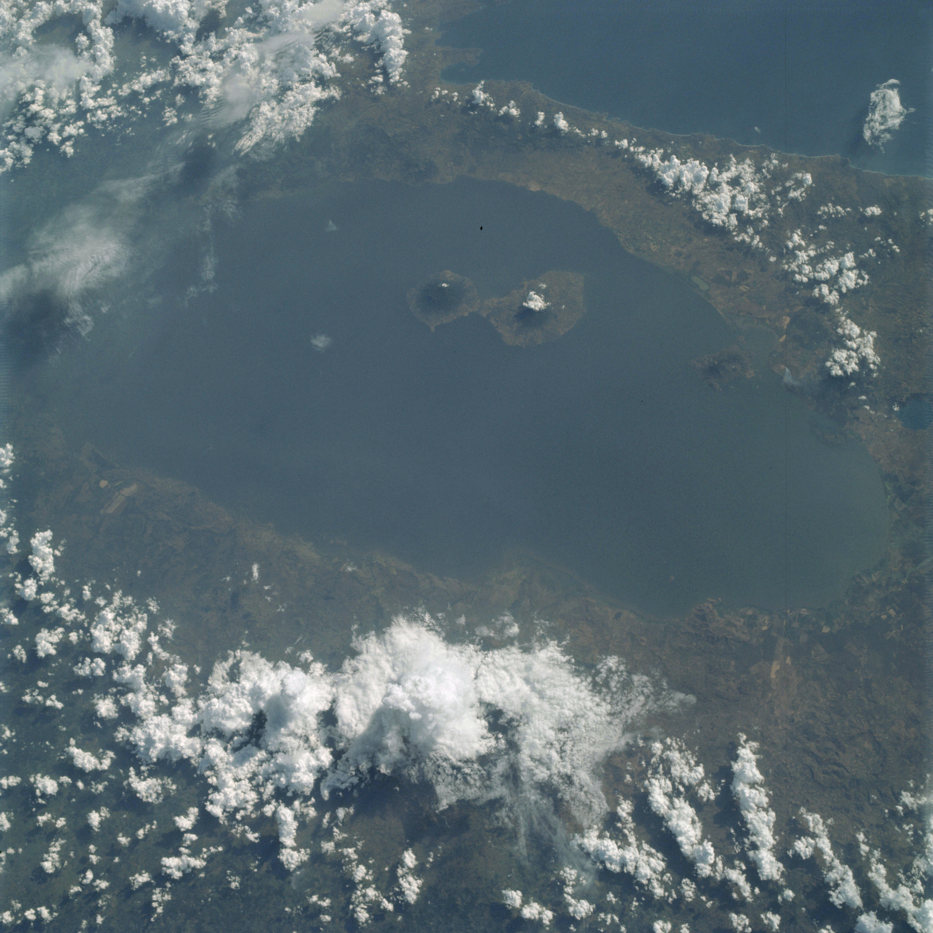 | AS09-19-3021 GEOGRAPHY/CARTOGRAPHY: Nicaragua, Costa Rica and Nicaragua, Onetepe Island, Towns of Granada, Masaya and Jinotepe, Pacific Ocean. GEOLOGY/HYDROLOGY: Complex plateaus, volcanoes and interior plains. AGRICULTURE: Field patterns along water’s edge. FORESTRY: Mixed broadleaf, evergreen and deciduous forests. METEOROLOGY: Cumulo-nimbus with anvil, cumulus congestus, cumulus humilis, cirro-cumulus. Image credit: Image Science and Analysis Laboratory, NASA-Johnson Space Center. |
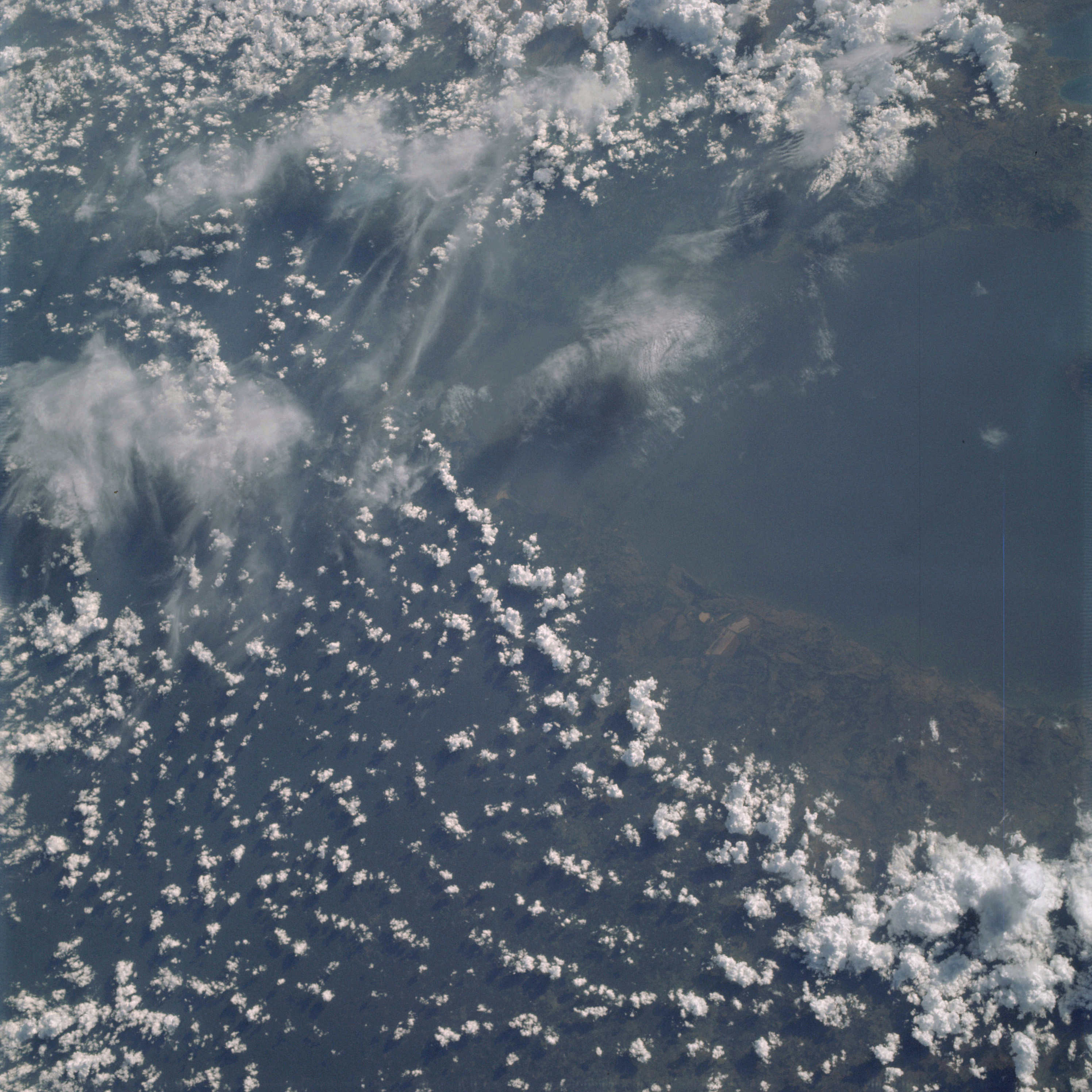 | AS09-19-3022 GEOGRAPHY/CARTOGRAPHY: Nicaragua, Costa Rica, Lake Nicaragua, Cordillera de Yolaina. GEOLOGY: Interior coastal plain. AGRICULTURE: Cultivated area near water edge. FORESTRY: Mixed broadleaf, evergreen and deciduous forests. METEOROLOGY: Cirro-cumulus, cirrus fibratus, cumulo-nimbus, cumulus congestus, cumulus humilis. Image credit: Image Science and Analysis Laboratory, NASA-Johnson Space Center. |
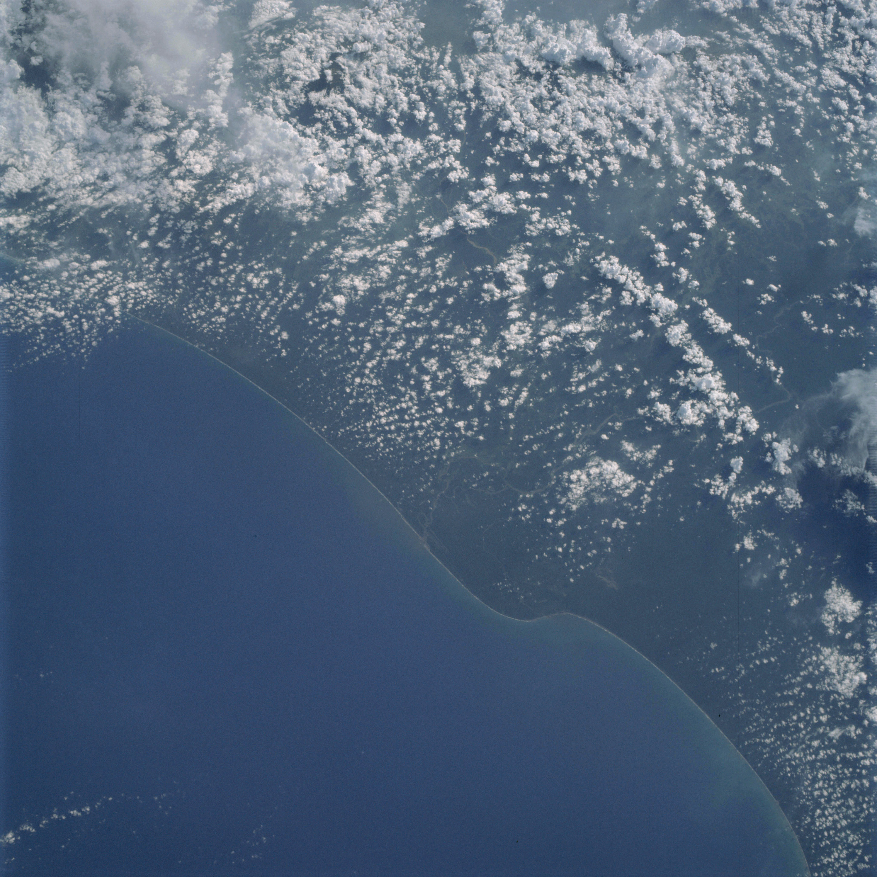 | AS09-19-3023 GEOGRAPHY/CARTOGRAPHY: Costa Rica, Panama, Caribbaan Sea, Village of Sixaola. GEOLOGY/HYDROLOGY: Coastal plain region. METEOROLOGY: Cumulo-nimbus, cumulus congestus, cumulus humilis, cirrus flbratus. OCEANOGRAPHY: Caribbean Sea, some water tonal variations within the nearshore zone. Image credit: Image Science and Analysis Laboratory, NASA-Johnson Space Center. |
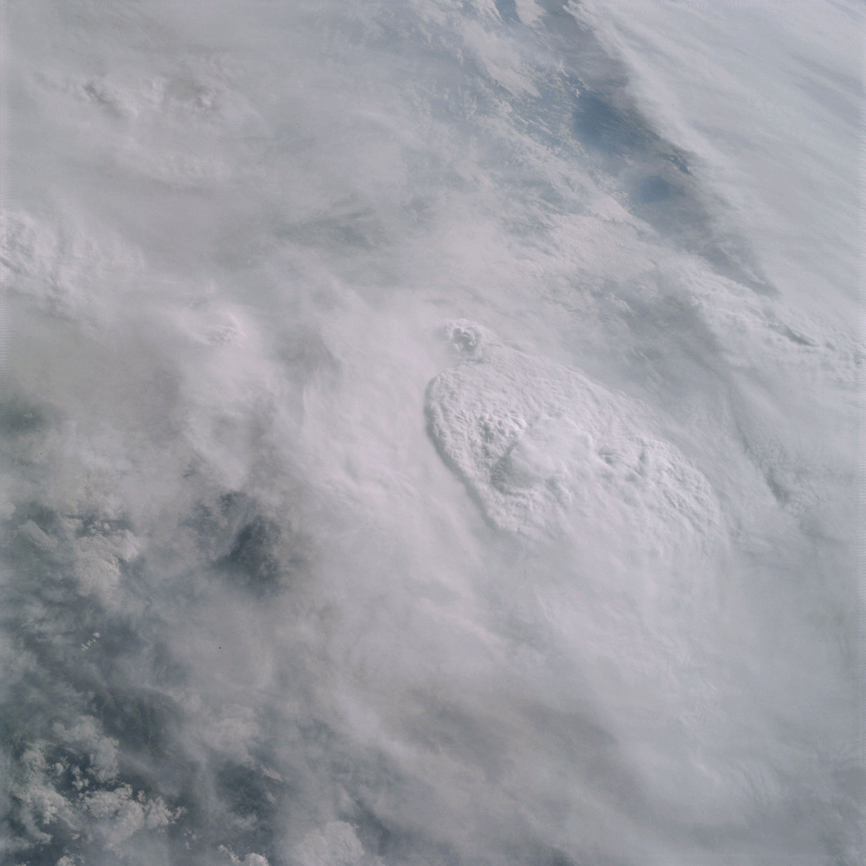 | AS09-19-3024 GEOGRAPHY/CARTOGRAPHY: South America, Brazil. METEOROLOGY: Cumulo-nimbus, cumulus congestus, cirro-stratus. Image credit: Image Science and Analysis Laboratory, NASA-Johnson Space Center. |
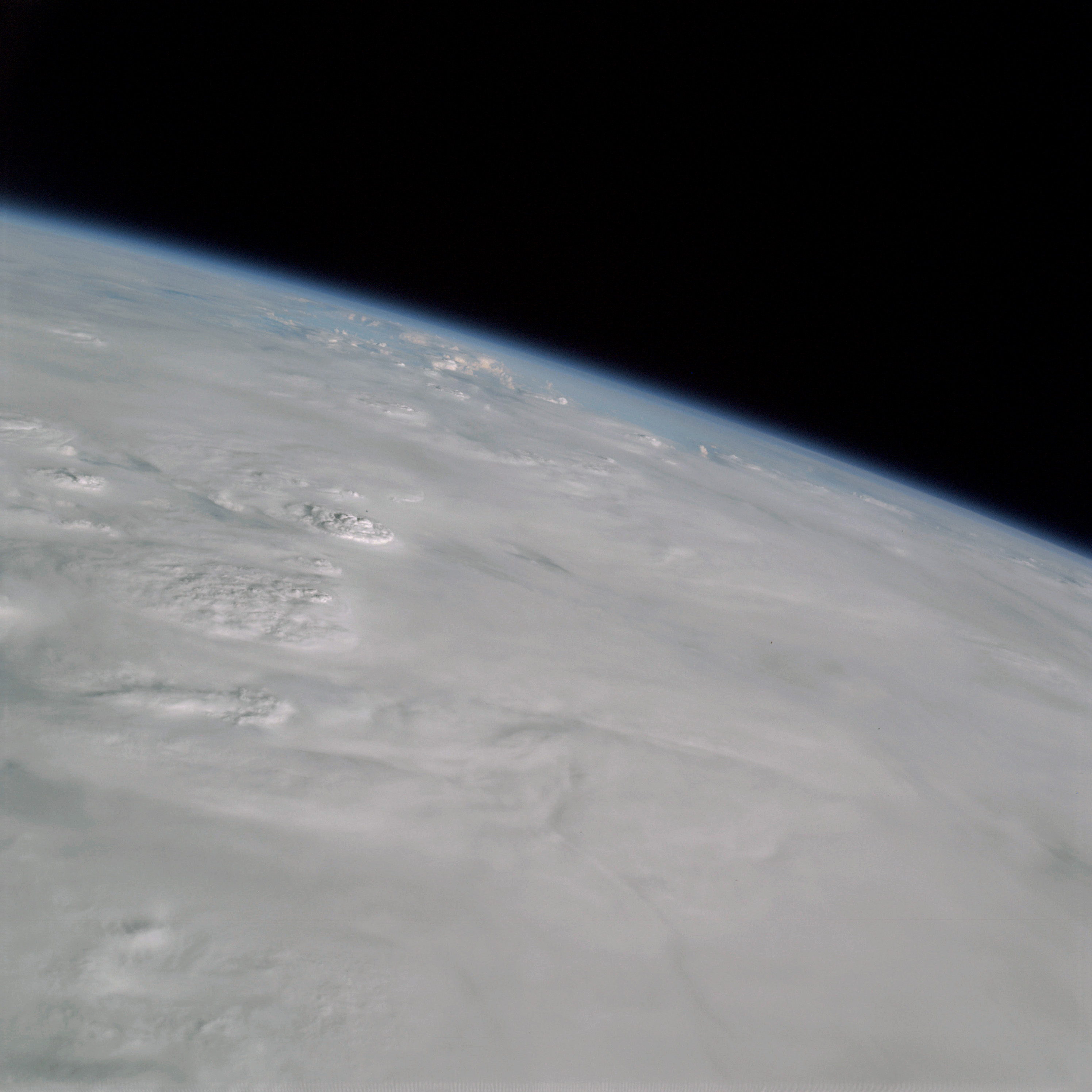 | AS09-19-3025 GEOGRAPHY/CARTOGRAPHY: South America, Brazil. METEOROLOGY: Cumulo-nimbus, cirro-stratus, alto-cumulus. Image credit: Image Science and Analysis Laboratory, NASA-Johnson Space Center. |
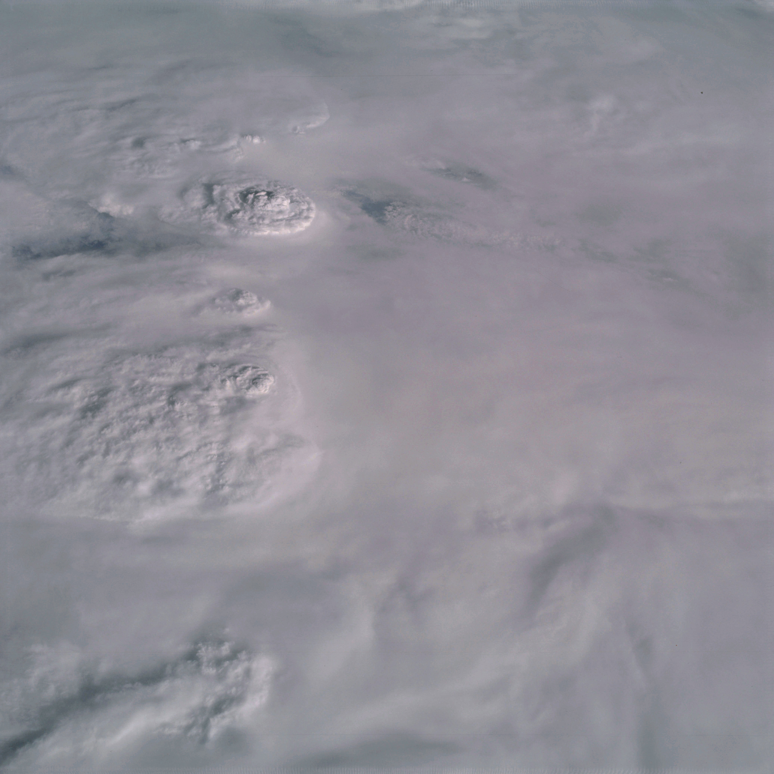 | AS09-19-3026 GEOGRAPHY/CARTOGRAPHY: South America, Brazil. METEOROLOGY: Cumulo-nimbus, cumulus congestus, cirro-stratus, alto-cumulus. Image credit: Image Science and Analysis Laboratory, NASA-Johnson Space Center. |
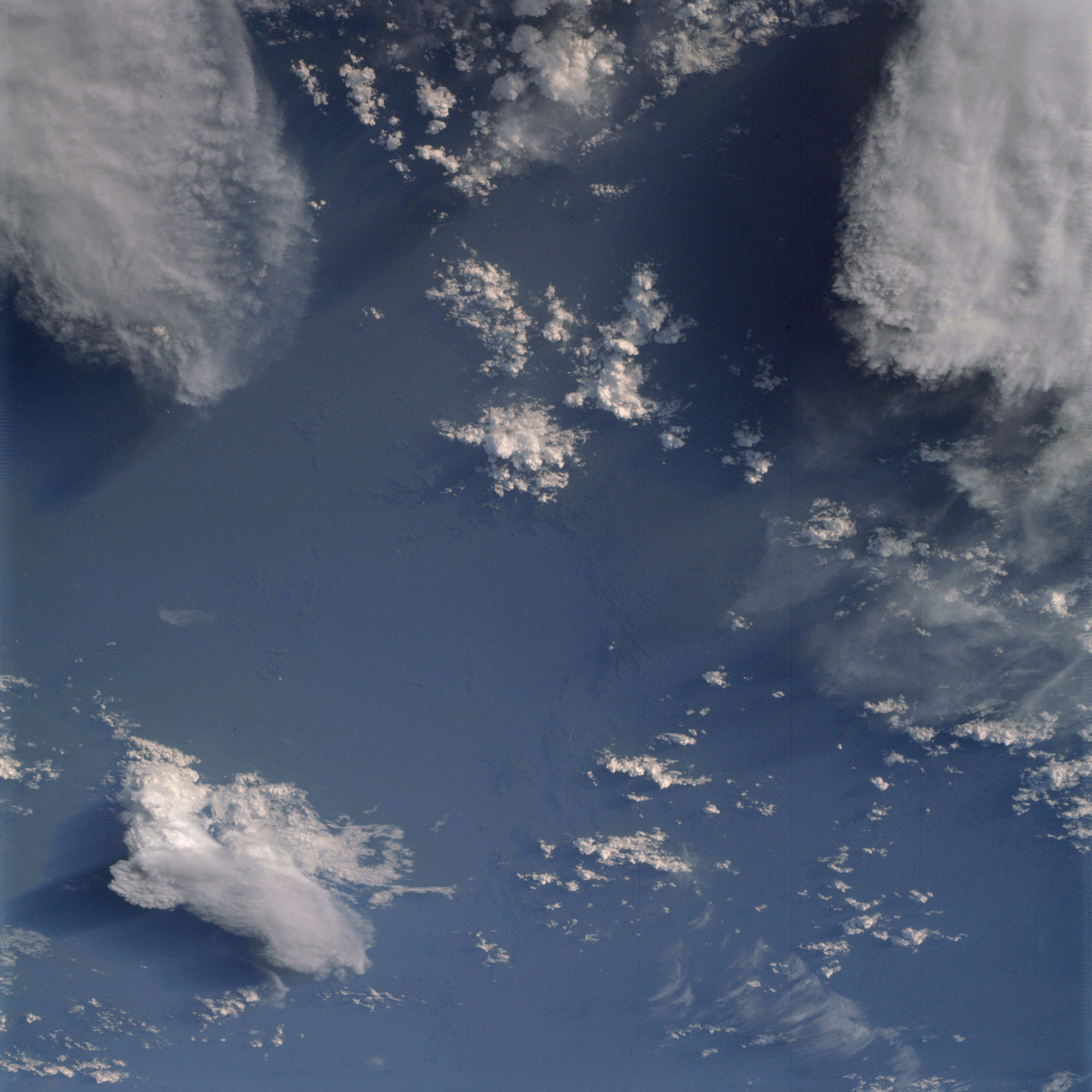 | AS09-19-3027 GEOGRAPHY/CARTOGRAPHY: South America. (Orbit 95) METEOROLOGY: Cumulo-nimbus, cumulus congestus, cirro-stratus, cirrus fibratus, alto-cumulus. Image credit: Image Science and Analysis Laboratory, NASA-Johnson Space Center. |
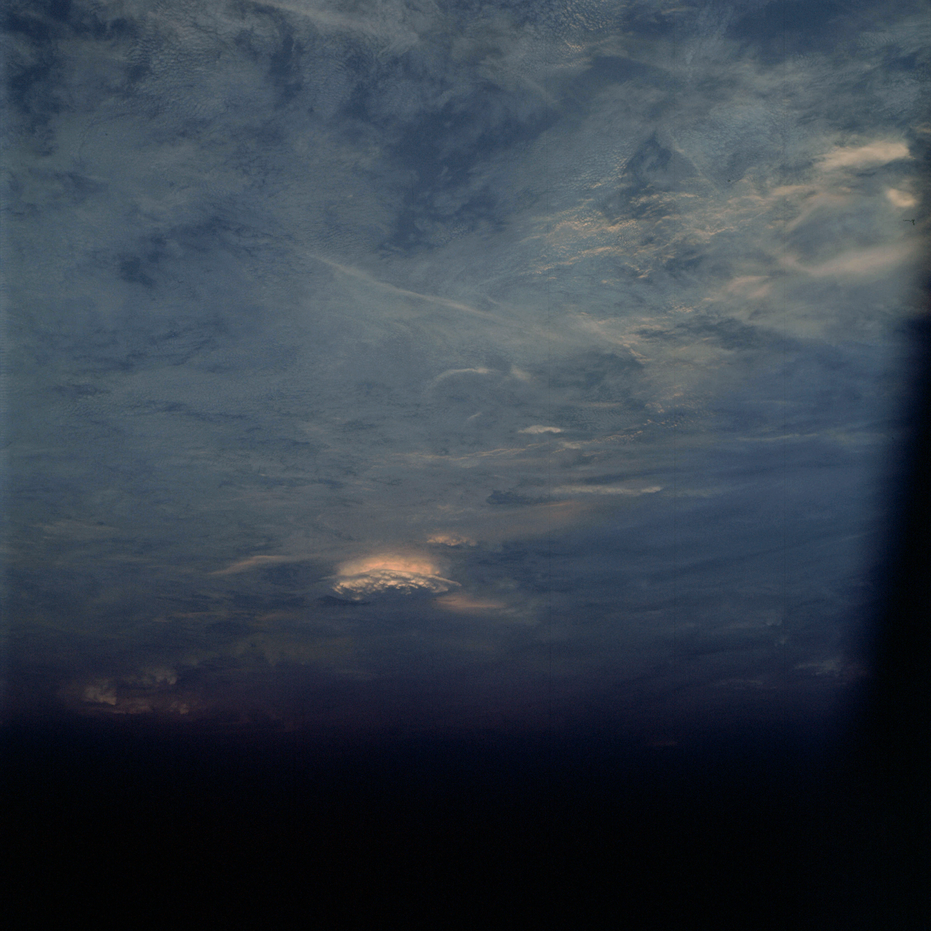 | AS09-19-3028 GEOGRAPHY/CARTOGRAPHY: South America. (Orbit 95) METEOROLOGY: Cumulo-nimbus, cirrus fibratus, alto-cumulus. Image credit: Image Science and Analysis Laboratory, NASA-Johnson Space Center. |
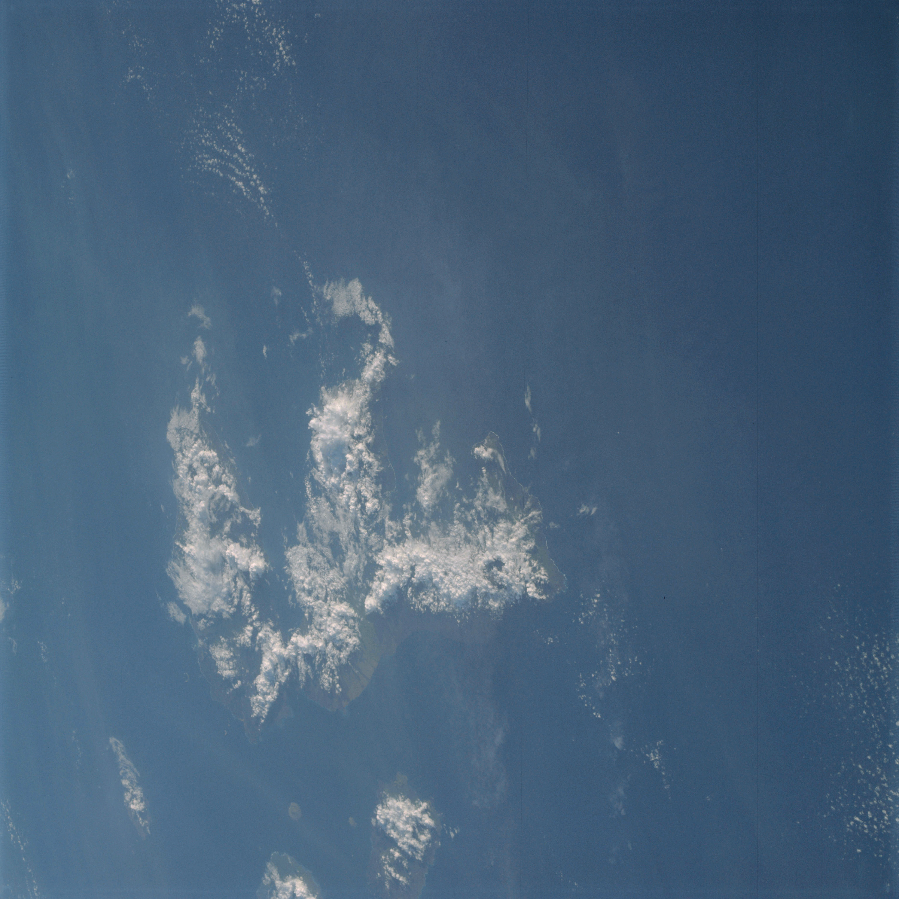 | AS09-19-3029 GEOGRAPHY/CARTOGRAPHY: Galapagos Islands, Fernandina, Isabela, San Salvador, Santa Cruz, and Santa Maria Islands. GEOLOGY/HYDROLOGY: Volcanic island chain. FORESTRY: Dense broadleaf evergreen in interior. METEOROLOGY: Cumulo-nimbus, cumulus congestus, stratus. OCEANOGRAPHY: Pacific Ocean, some color differences denoting possible salinity, current or depth change. Image credit: Image Science and Analysis Laboratory, NASA-Johnson Space Center. |
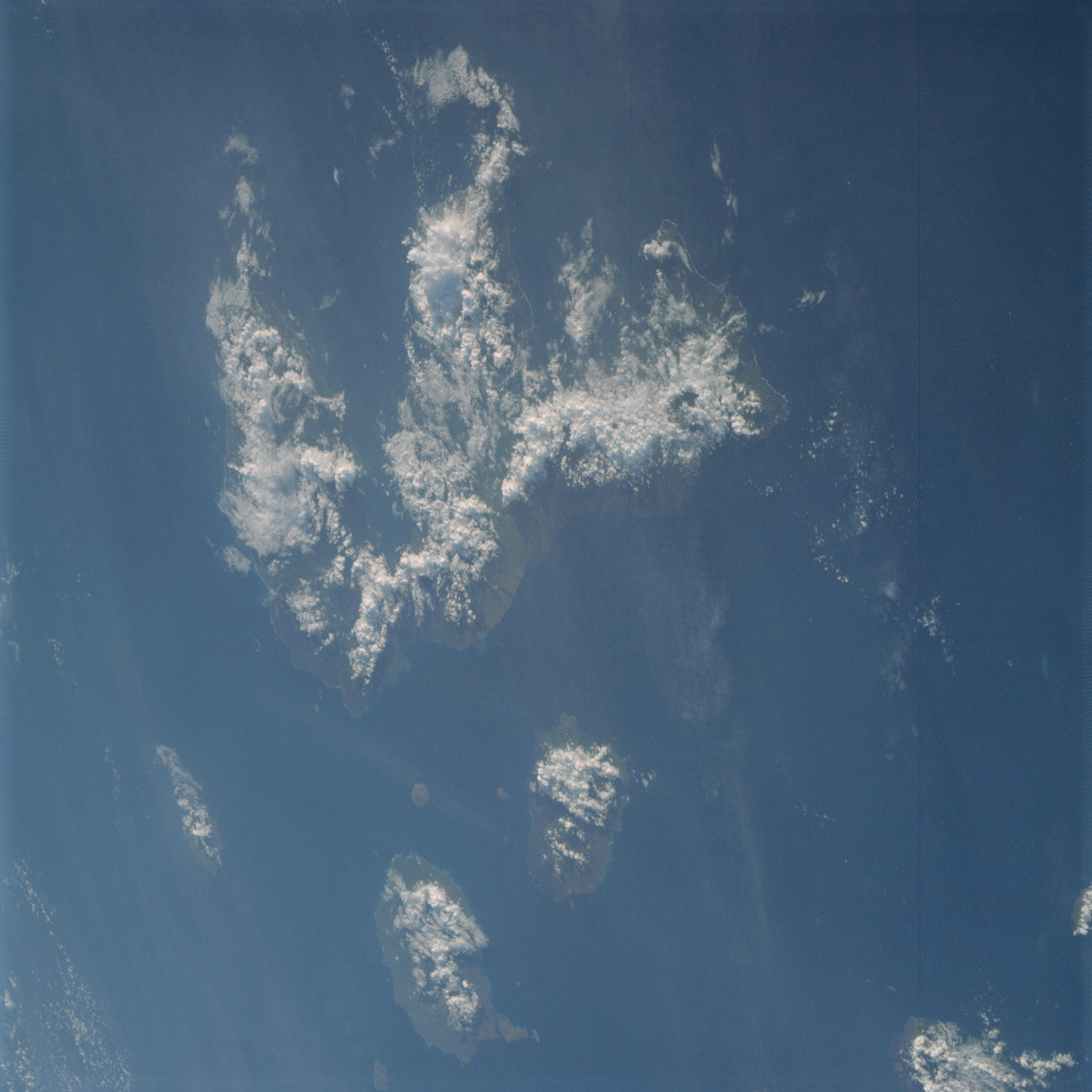 | AS09-19-3030 GEOGRAPHY/CARTOGRAPHY: Galapagos Island, Fernandina, Isabela, San Salvador, Santa Cruz, and Santa Maria Islands. GROLOGY/HYDROLOGY: Volcanic island chain. FORESTRY: Dense broadleaf evergreen forests inland. METEOROLOGY: Cumulo-nimbus, cumulus congestus, stratus OCEANOGRAPHY: Pacific Ocean, some color differences denoting possible salinity, current or depth change. Image credit: Image Science and Analysis Laboratory, NASA-Johnson Space Center. |
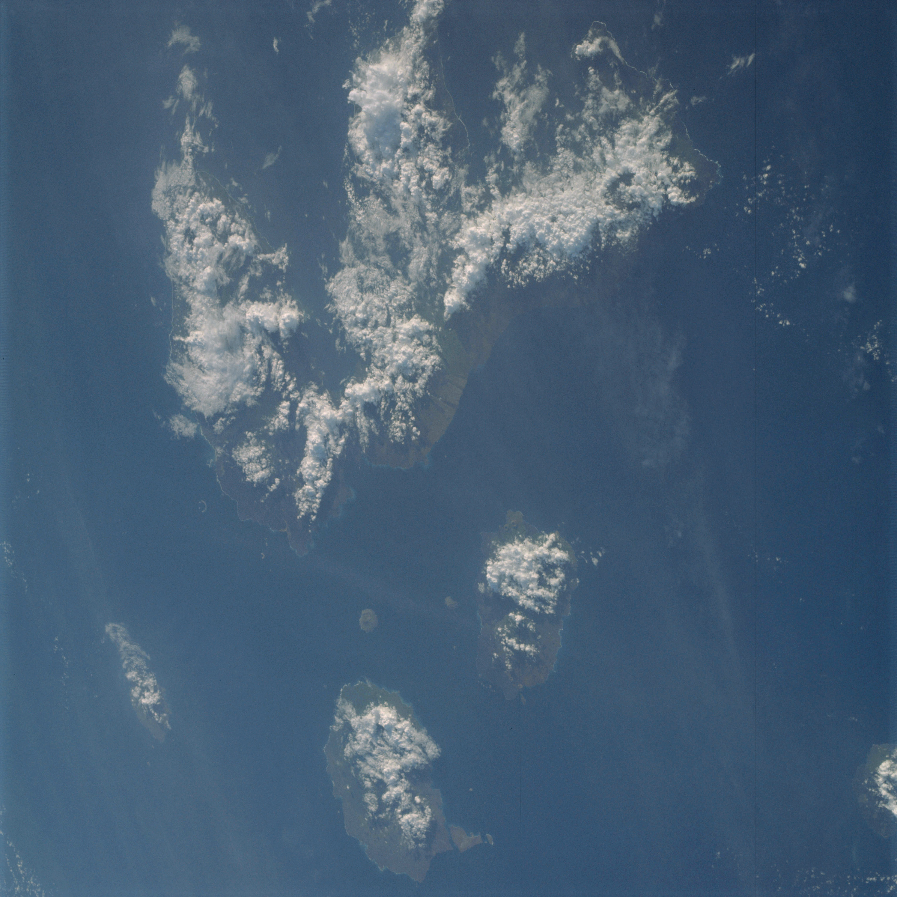 | AS09-19-3031 GEOGRAPHY/CARTOGRAPHY: Galapagos Island, Fernandina, Isabela, San Salvador, Santa Cruz and Santa Maria Islands. GEOLOGY/HYDROLOGY: Volcanic island chain. FORESTRY: Dense broadleaf evergreen forests inland. METEOROLOGY: Cumulo-nimbus, cumulus congestus, stratus OCEANOGRAPHY: Pacific Ocean, some color changes denoting possible salinity, current or depth differences. Image credit: Image Science and Analysis Laboratory, NASA-Johnson Space Center. |
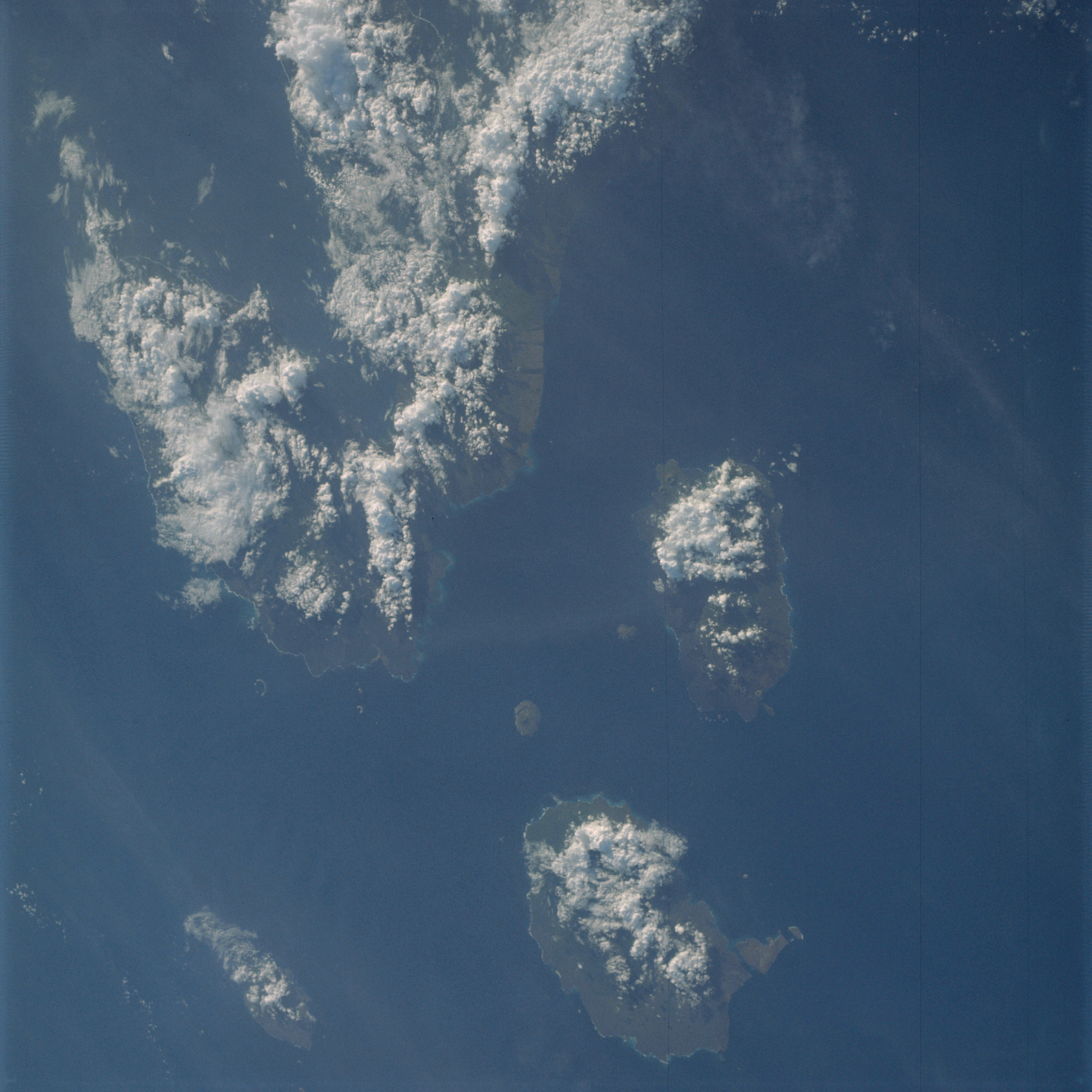 | AS09-19-3032 GEOGRAPHY/CARTOGRAPHY: Galapagos Islands, Fernandina, Isabela, San Salvador, Santa Cruz, and Santa Maria Islands. GEOLOGY/HYDROLOGY: Volcanic island chain. FORESTRY: Dense broadleaf evergreen forests inland. METEOROLOGY: Cumulo-nimbus, cumulus congestus. OCEANOGRAPHY: Pacific Ocean, some color changes denoting possible salinity, current or depth differences. Image credit: Image Science and Analysis Laboratory, NASA-Johnson Space Center. |
 | AS09-19-3033 Dark photograph of eastern Sahara. Image credit: Image Science and Analysis Laboratory, NASA-Johnson Space Center. |
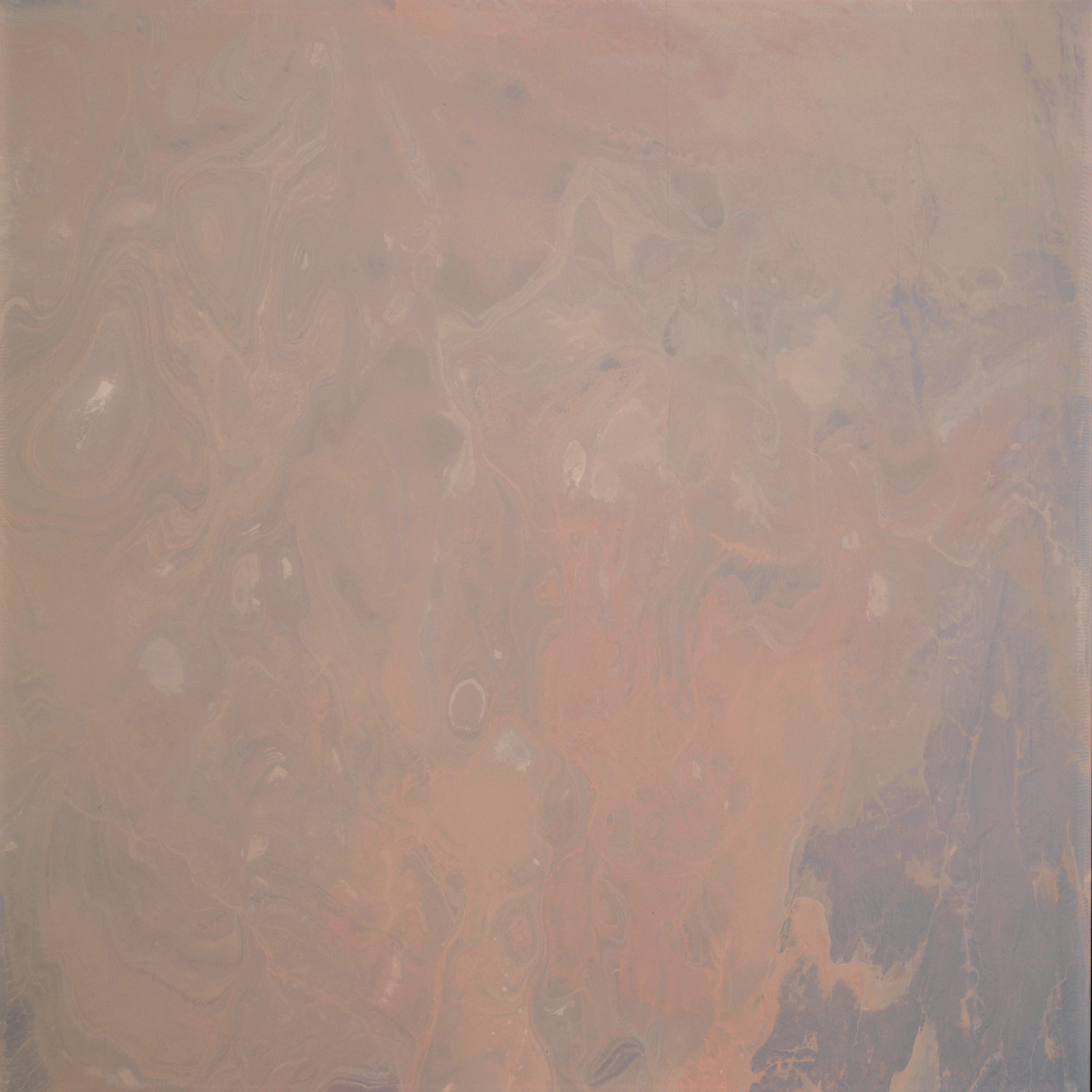 | AS09-19-3034 GEOGRAPHY/CARTOGRAPHY: Africa, Algeria, Ahnet and Ahaggar Mountains. GEOLOGY/HYDROLOGY: Complex folded mountains with intervening playas. Image credit: Image Science and Analysis Laboratory, NASA-Johnson Space Center. |
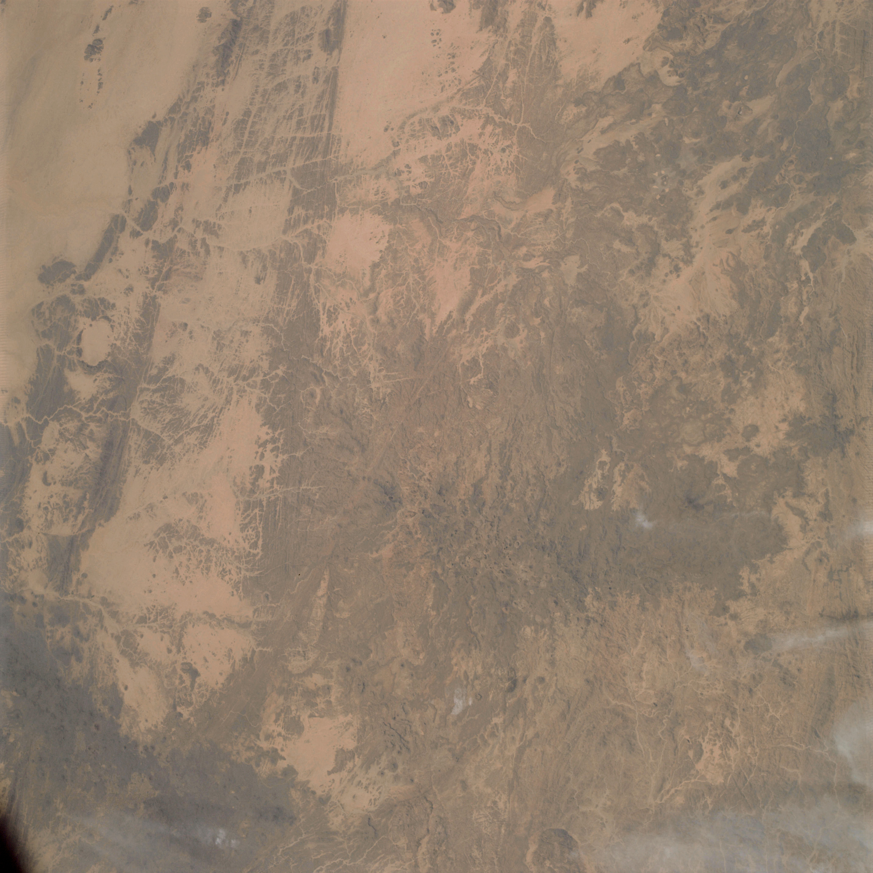 | AS09-19-3035 GEOGRAPHY/CARTOGRAPHY: Africa, Niger, Chad, Libya, Jabal Bin Ghunaymah, Sarir Tibasti, Mangueni Plateau. GEOLOGY/HYDROLOGY: Complex elevated plateau highly fractured. METEOROLOGY: Cirrus uncinus. Image credit: Image Science and Analysis Laboratory, NASA-Johnson Space Center. |
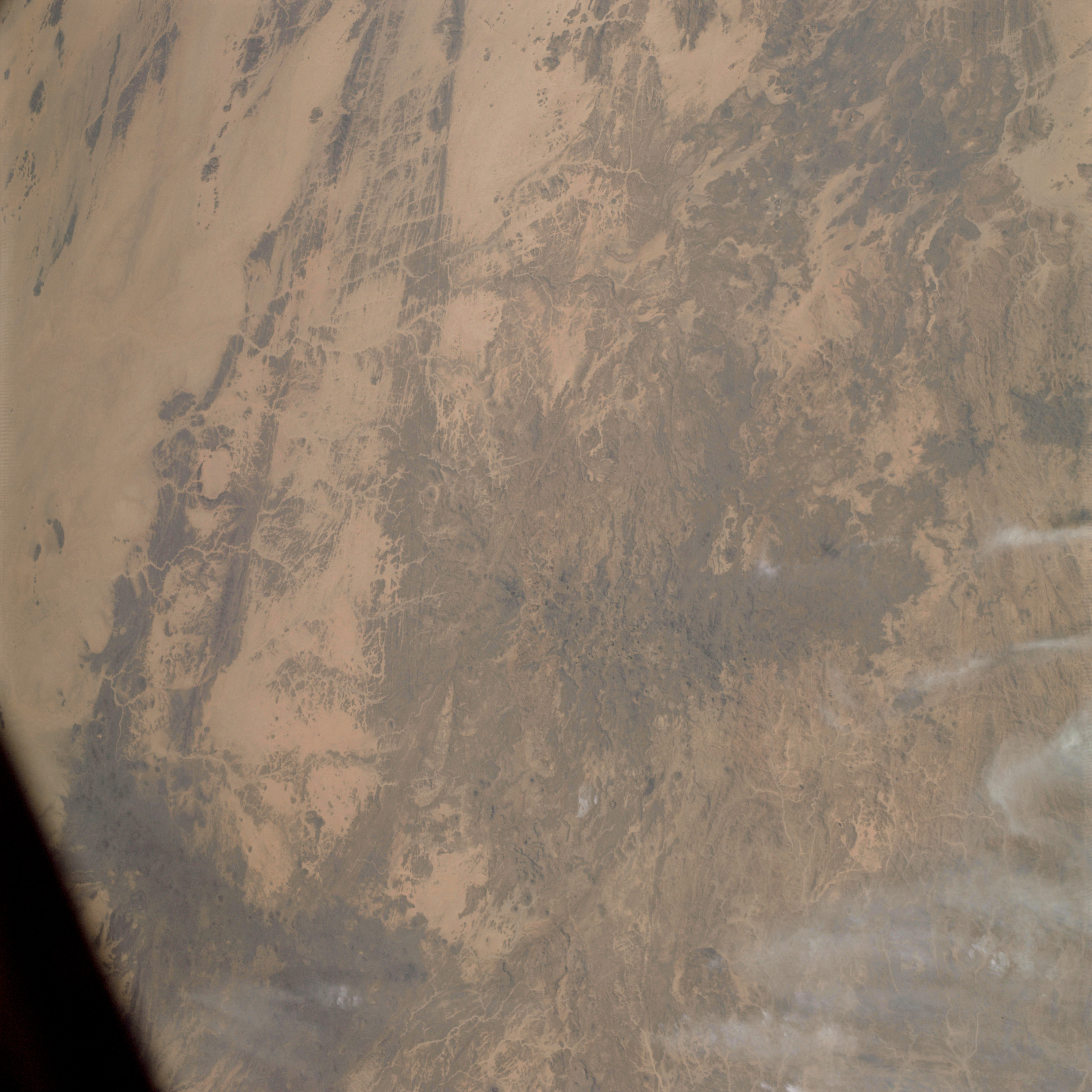 | AS09-19-3036 GEOGRAPHY/CARTOGRAPHY: Africa, Niger, Chad, Libya, Jabal Bin Ghunaymah, Sarir Tibasti, Mangusni Plateau. GEOLOGY/HYDROLOGY: Complex and highly fractured plateau. FORESTRY: Scattered desert shrubform. METEOROLOGY: Cirrus uncinus. Image credit: Image Science and Analysis Laboratory, NASA-Johnson Space Center. |
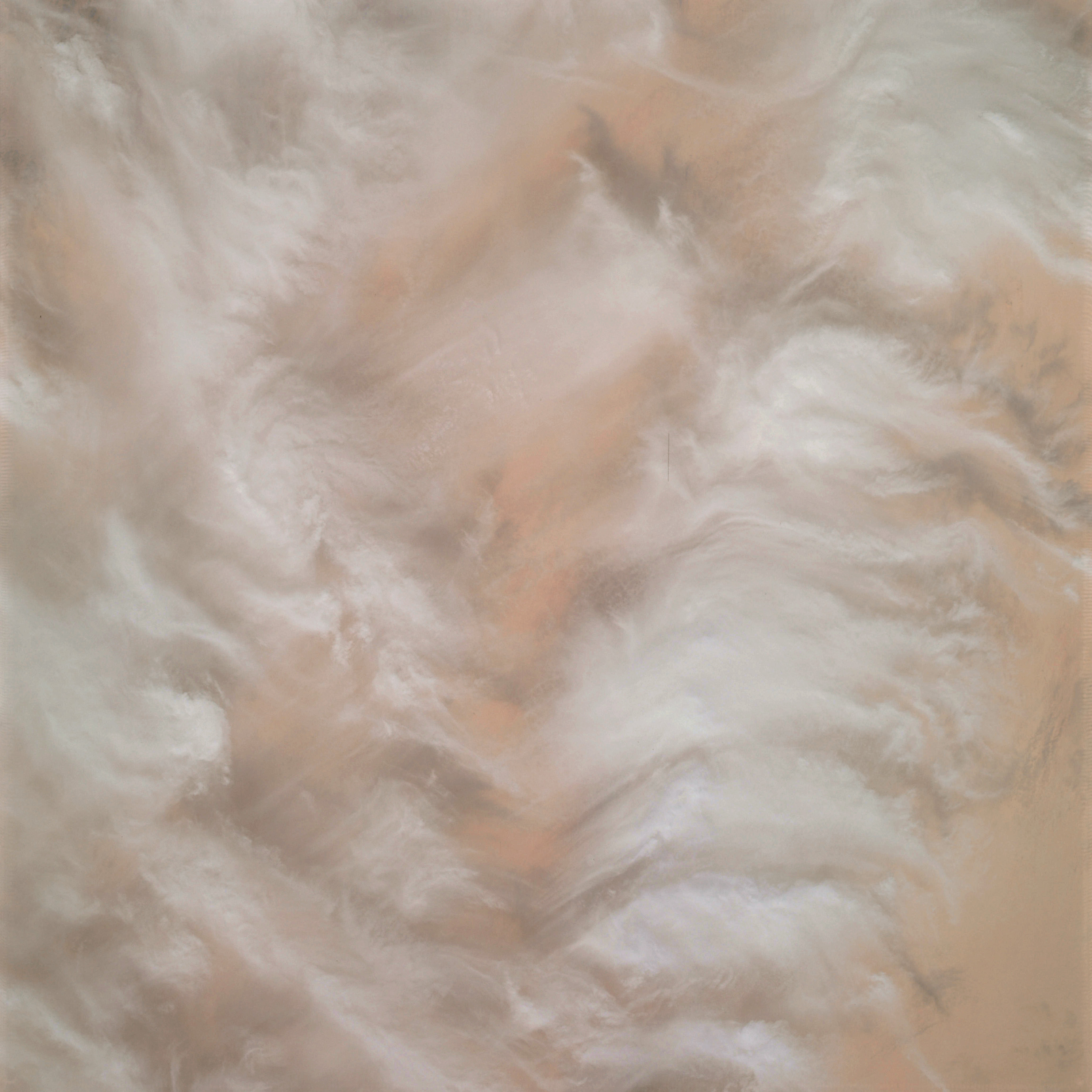 | AS09-19-3037 GEOGRAPHY/CARTOGRAPHY: Africa, Libya Desert. GEOLOGY, HYDROLOGY: Erg plains. METEOROLOGY: Cirrus spissatus, alto-cumulus. Image credit: Image Science and Analysis Laboratory, NASA-Johnson Space Center. |
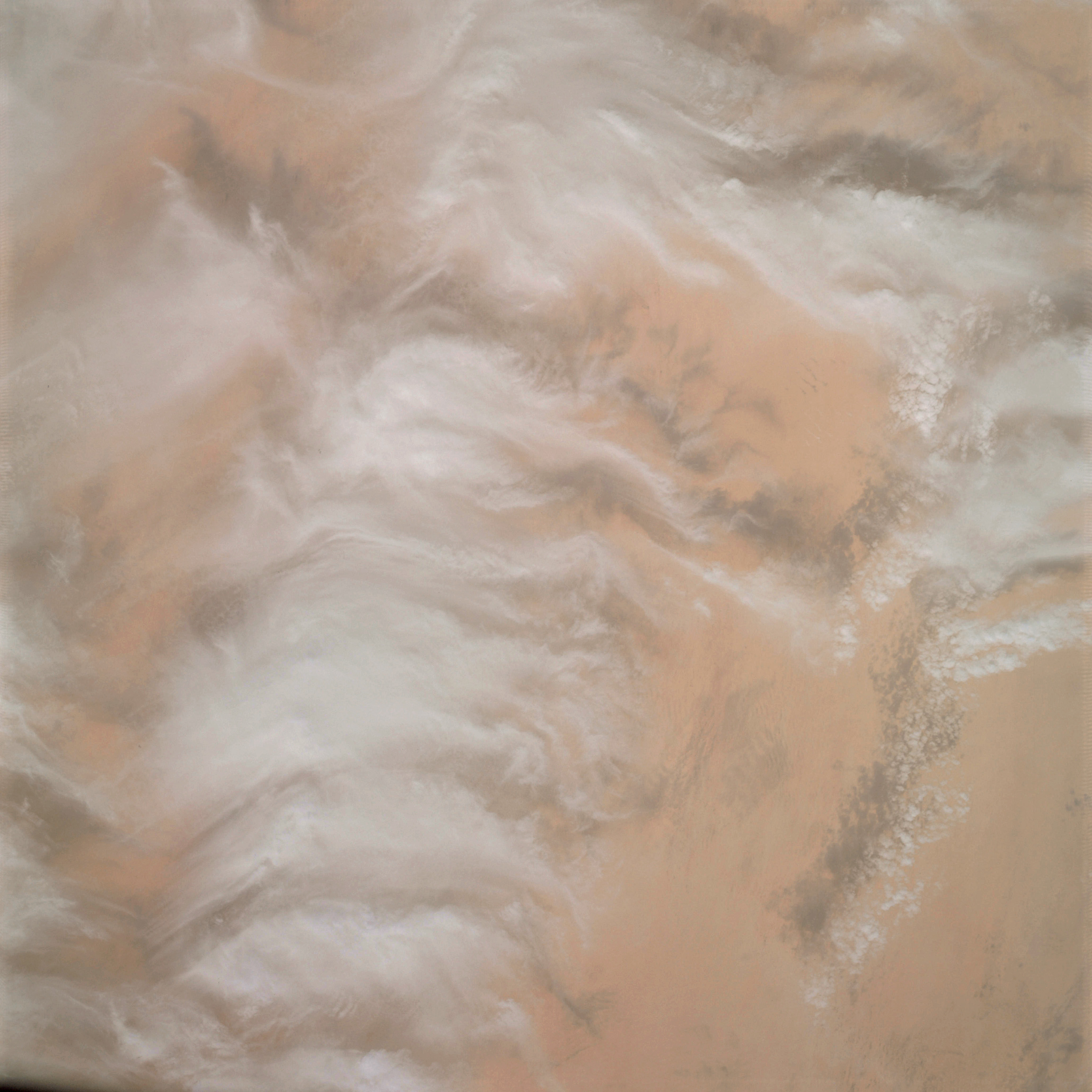 | AS09-19-3038 GEOGRAPHY/CARTOGRAPHY: Africa, Libya Desert. GEOLOGY, HYDROLOGY: Erg plains. METEOROLOGY: Cirrus spissatus, alto-cumulus. Image credit: Image Science and Analysis Laboratory, NASA-Johnson Space Center. |
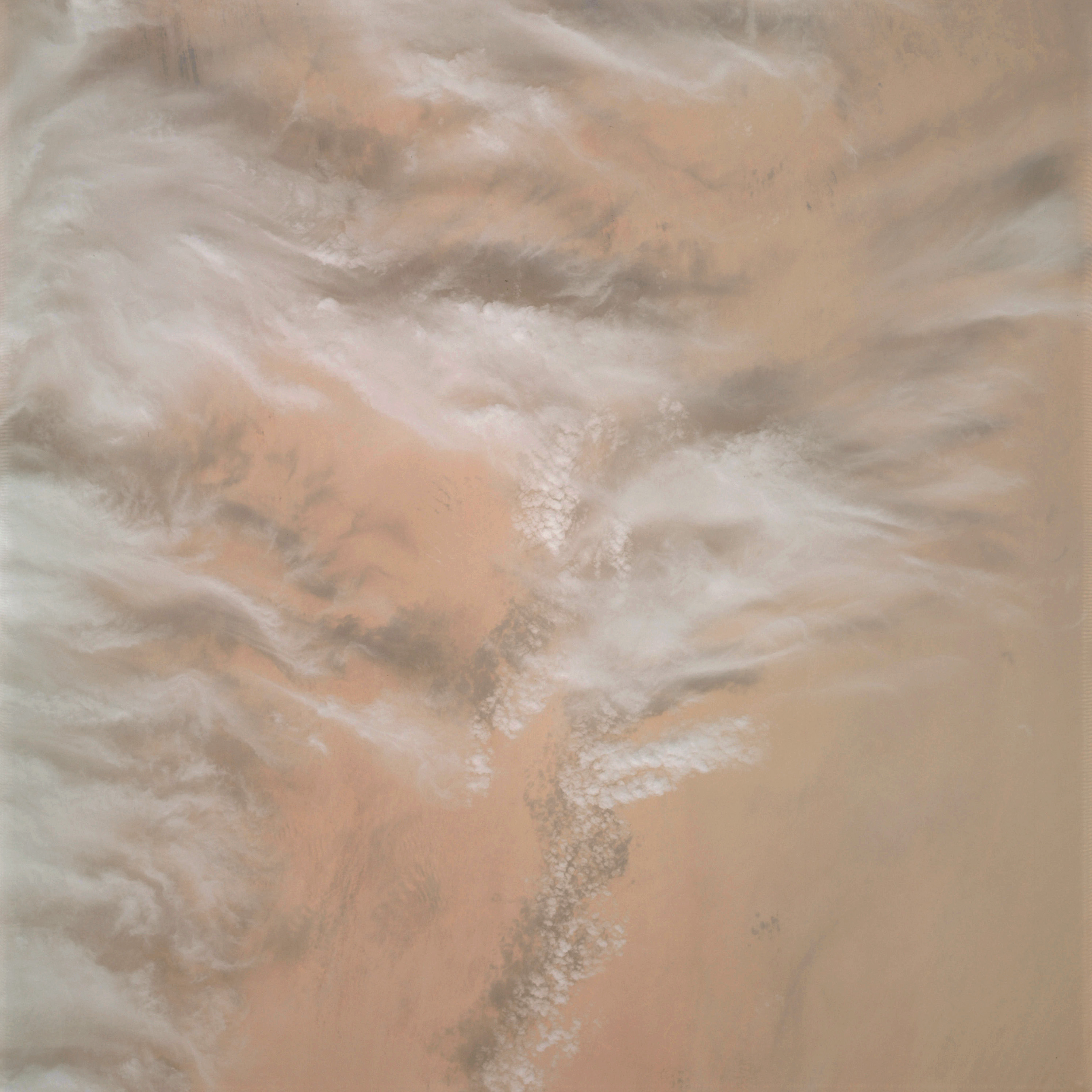 | AS09-19-3039 GEOGRAPHY/CARTOGRAPHY: Africa, Libya Desert. GEOLOGY, HYDROLOGY: Erg plains. METEOROLOGY: Cirrus spissatus, alto-cumulus. Image credit: Image Science and Analysis Laboratory, NASA-Johnson Space Center. |
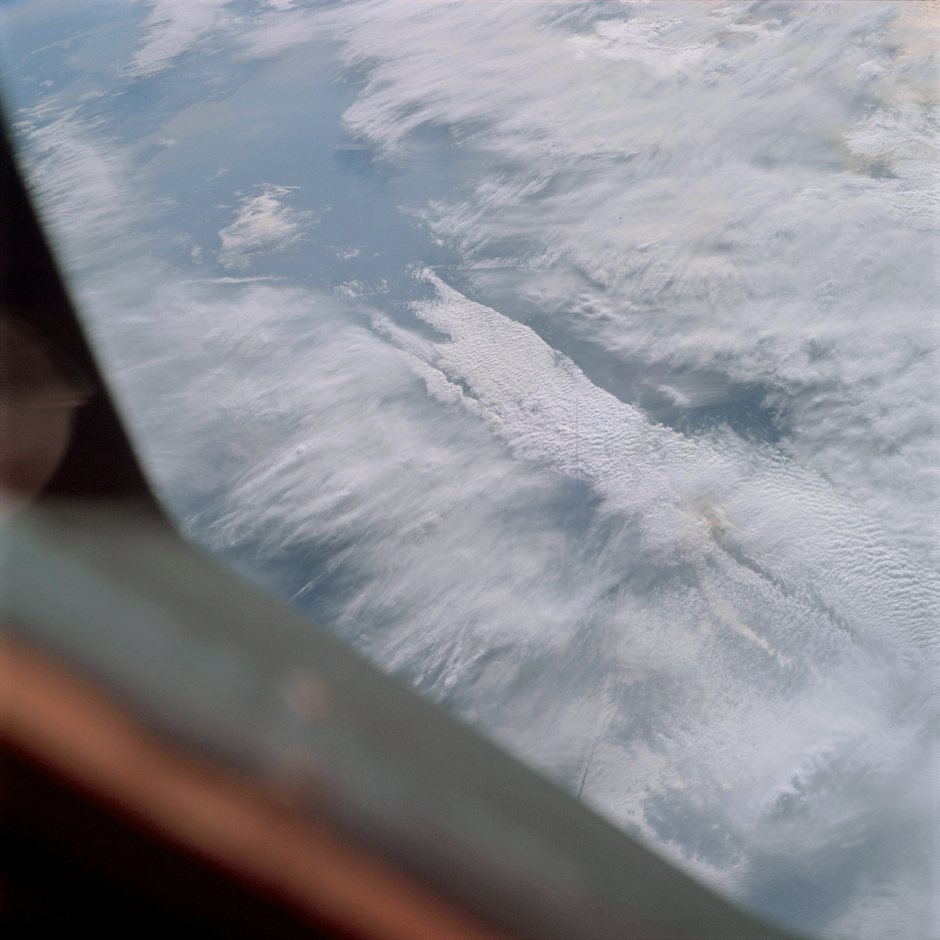 | AS09-19-3040 GEOGRAPHY/CARTOGRAPHY: United States, Louisiana, Mississippi, Atchafalaya Bay, Lakes Pontchartrain and Borgne, City of New Orleans, Gulf of Mexico. GEOLOGY/HYDROLOGY: Coastal plain. METEOROLOGY: Cirro-stratus, alto-cumulus, cumulus congestus. Image credit: Image Science and Analysis Laboratory, NASA-Johnson Space Center. |
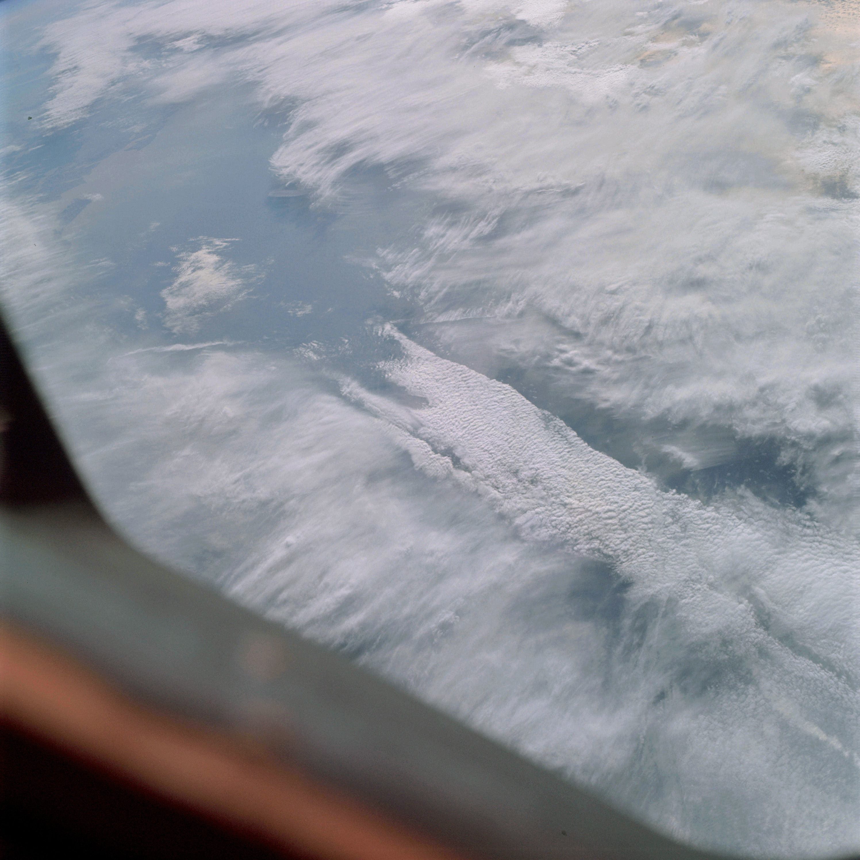 | AS09-19-3041 GEOGRAPHY/CARTOGRAPHY: United States, Louisiana, Atchafalaya Bay, Six Mile lake, Morgan City, New Orleans. GEOLOGY/HYDROLOGY: Coastal Plain. METEOROLOGY: Cirro-stratus, alto-cumulus, cumulus congestus. Image credit: Image Science and Analysis Laboratory, NASA-Johnson Space Center. |
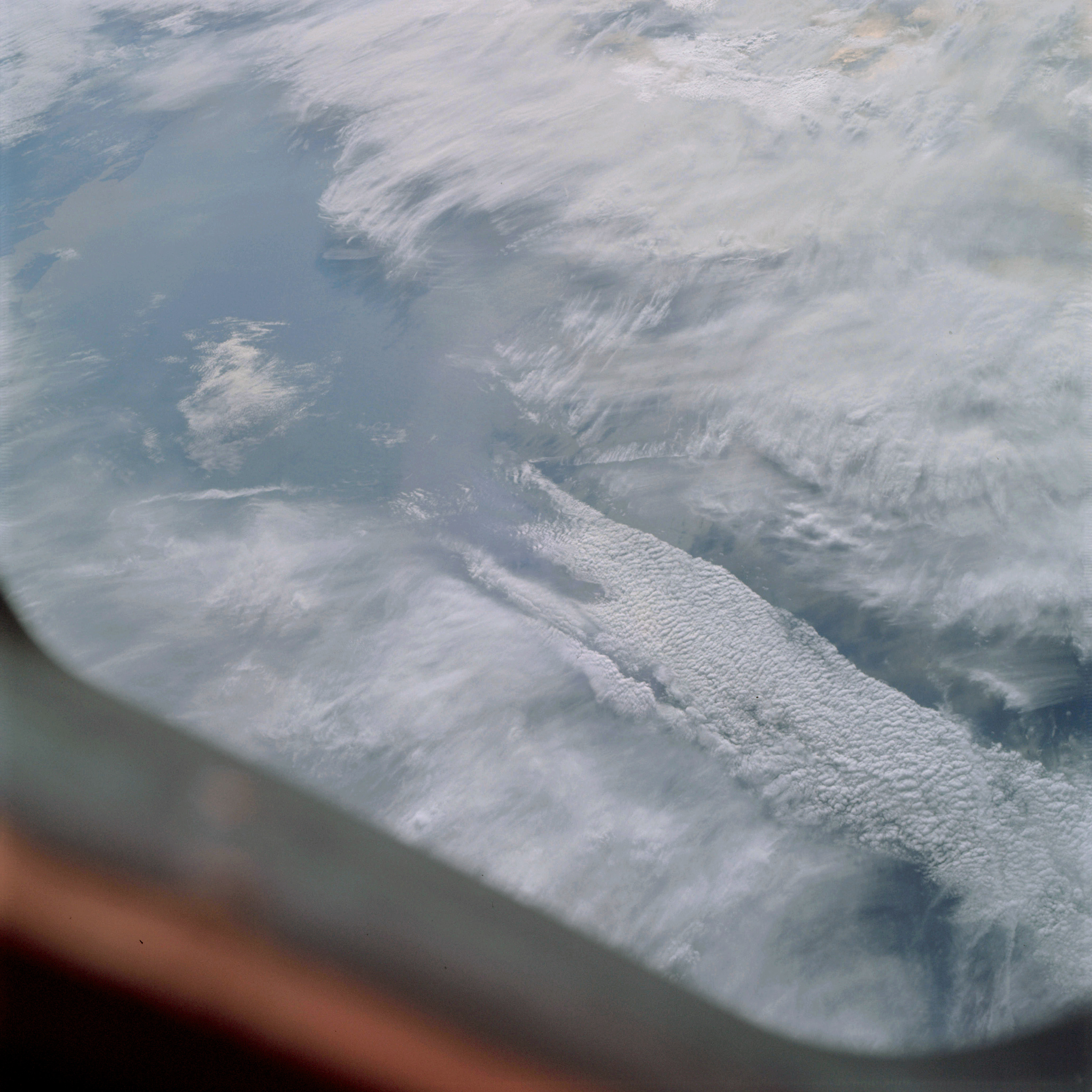 | AS09-19-3042 GEOGRAPHY/CARTOGRAPHY: United States, Louisiana, Atchafalaya Bay, Point au Fer, Morgan City. GEOLOGY/HYDROLOGY: Coastal plain. METEOROLOGY: Cirro-stratus, alto-cumulus, cumulus congestus. OCEANOGRAPHY: Gulf of Mexico, sun glint, possible swell patterns. Image credit: Image Science and Analysis Laboratory, NASA-Johnson Space Center. |
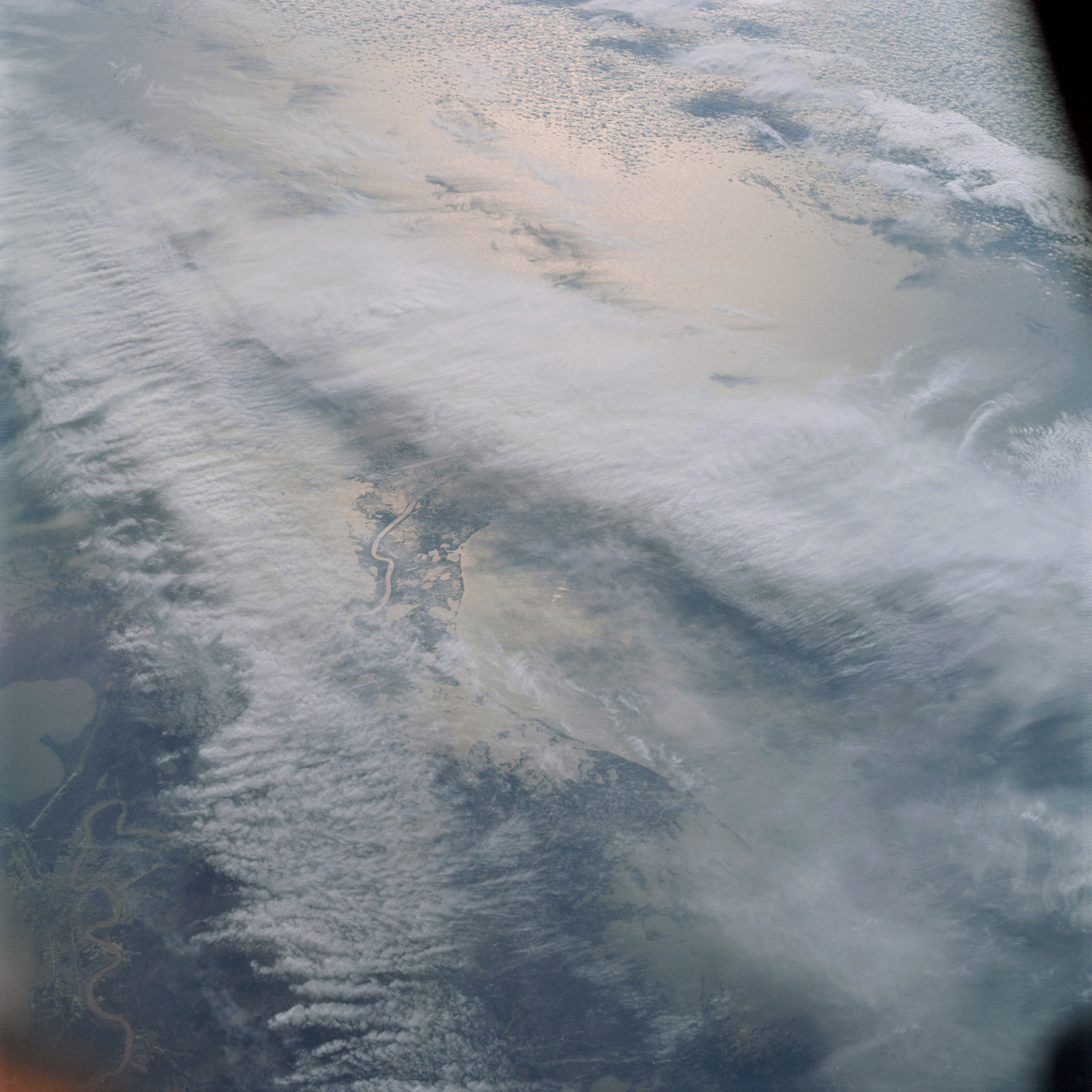 | AS09-19-3043 GEOGRAPHY/CARTOGRAPHY: United States, Louisiana, Mississippi River Delta, Lake Borgne, Villages of Empire and Buras, City of New Orleans. GEOLOGY/HYDROLOGY: Coastal plain and deltaic flood plain. FORESTRY: Mixed pine/hardwood forests inland with coastal marsh vegetation. METEOROLOGY: Cirrus, cirro-stratus, alto-cumulus. OCEANOGRAPHY: Gulf of Mexico, sunglint, possible swell patterns visible. Image credit: Image Science and Analysis Laboratory, NASA-Johnson Space Center. |
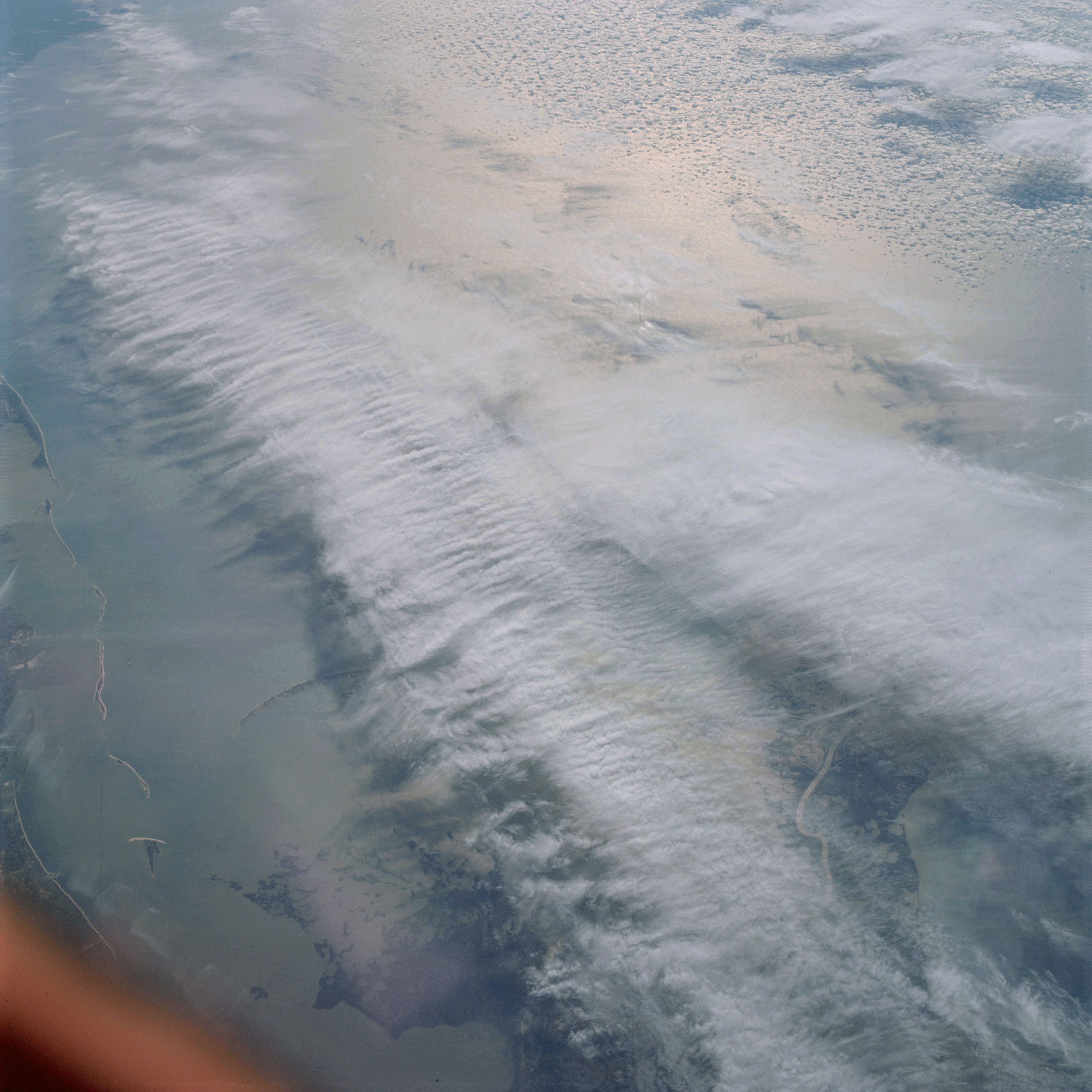 | AS09-19-3044 GEOGRAPHY/CARTOGRAPHY: United States, Louisiana, Mississippi, Mississippi River Delta, Mississippi Sound, Cat, Ship and Horn Islands, Biloxi and Gulfport. GEOLOGY/HYDROLOGY: Sand bars along coastal plain region. FORESTRY: Coastal marshland vegetation. METEOROLOGY: Cirrus, cirro-stratus, alto-cumulus. OCEANOGRAPHY: Gulf of Mexico, sunglint. Image credit: Image Science and Analysis Laboratory, NASA-Johnson Space Center. |
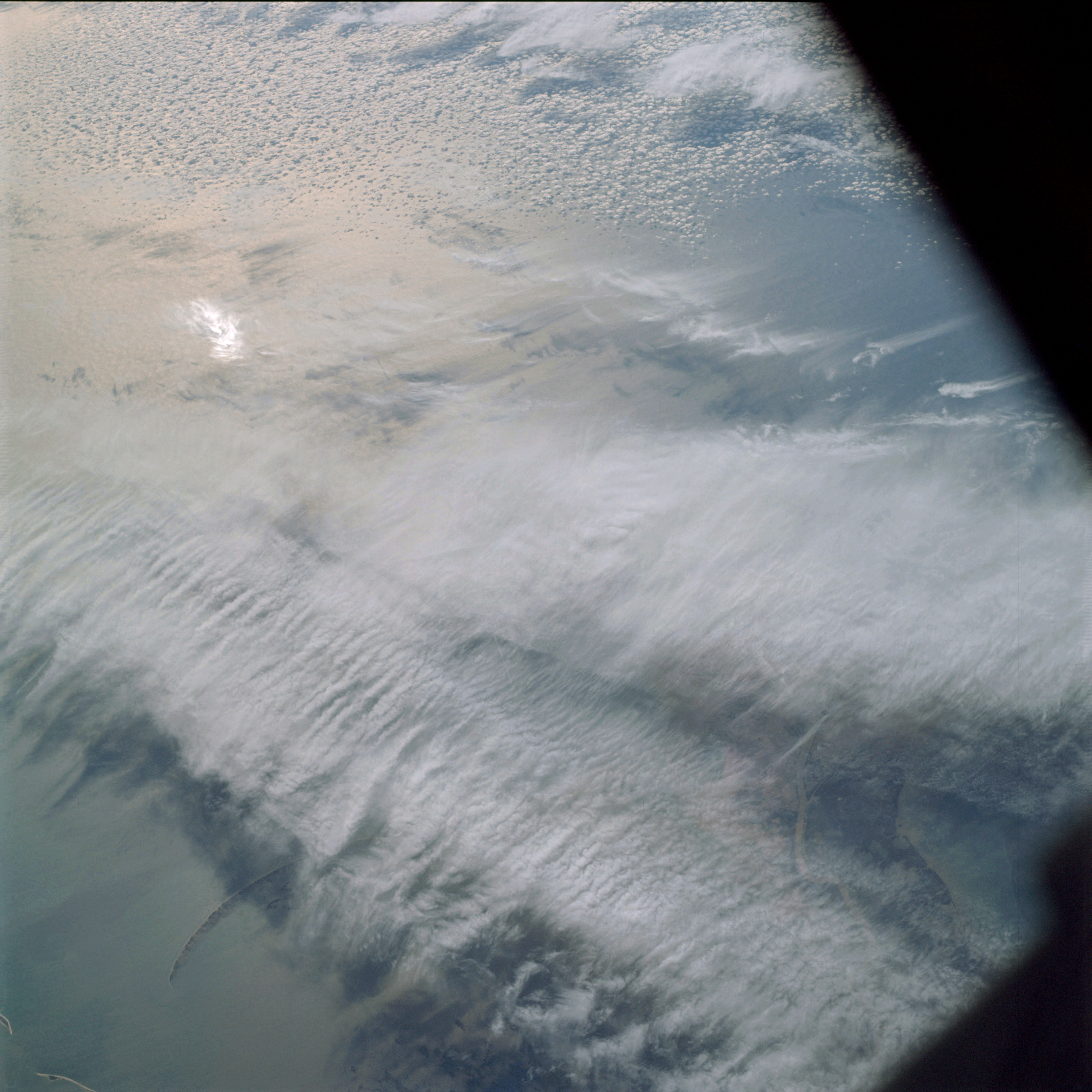 | AS09-19-3045 GEOGRAPHY/CARTOGRAPHY: United States, Louisiana, Mississippi, Mississippi River Delta, Ship Island. GEOLOGY/HYIROLOGY: Coastal plain and deltaic flood plain. FORESTRY: Coastal marshland vegetation. METEOROLOGY: Cirrus, cirro-stratus, alto-stratus. OCEANOGRAPHY: Gulf of Mexico, sunglint. Image credit: Image Science and Analysis Laboratory, NASA-Johnson Space Center. |
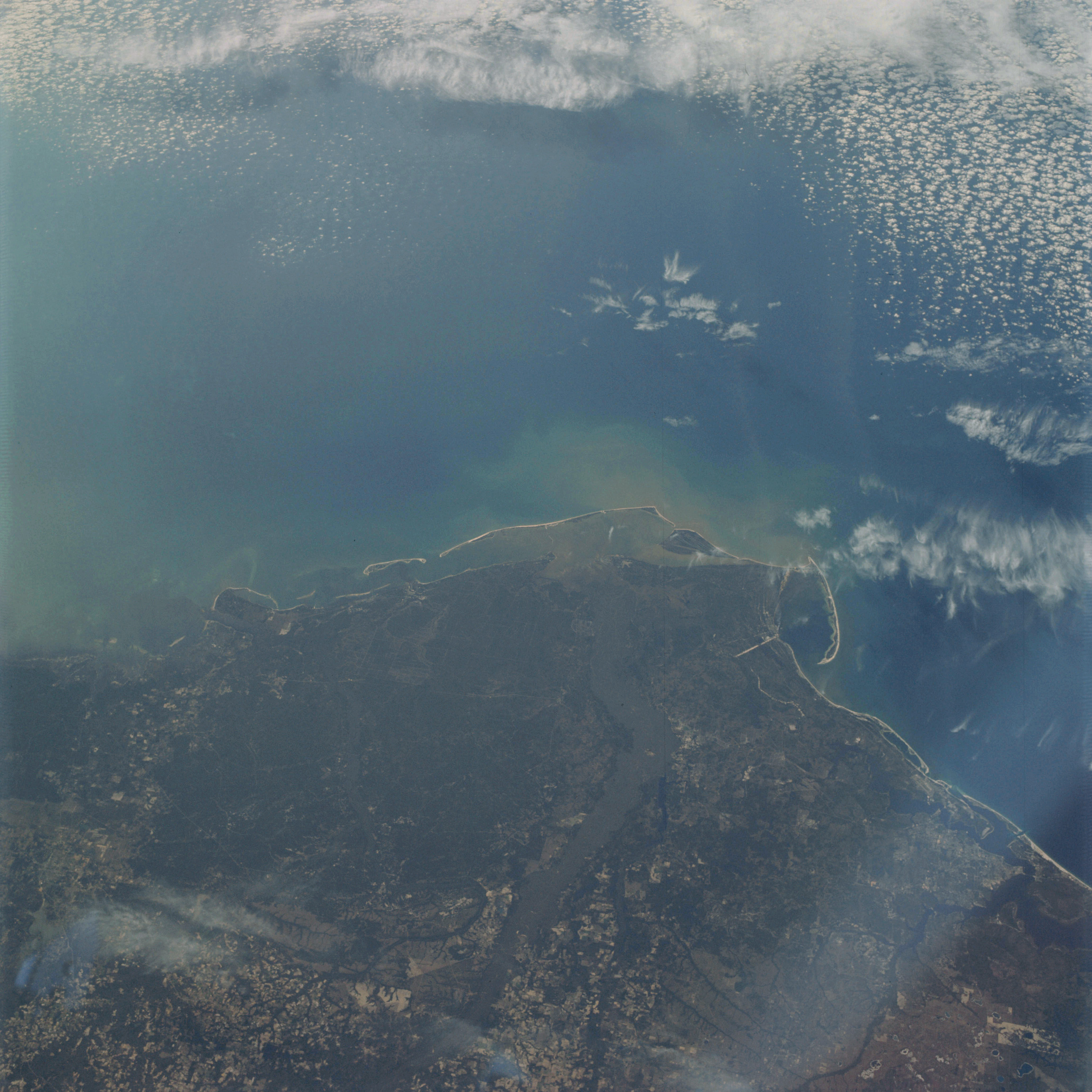 | AS09-19-3046 GEOGRAPHY/CARTOGRAPHY: United States, Florida, Cape San Blas, St. Joseph Bay, Panama City and Tallahassee. GEOLOGY/HYDROLOGY: Coastal plain region. AGRICULTURE: Extensive cultivation, various field pattern configurations. FORESTRY: Coastal grasses with mixed pine/hardwood bottomlands. METEOROLOGY: Cirrus fibratus, alto-cumulus, cirro-stratus. OCEANOGRAPHY: Gulf of Mexico, sediments in suspension in nearshore area, possible barrier island being formed. Image credit: Image Science and Analysis Laboratory, NASA-Johnson Space Center. |
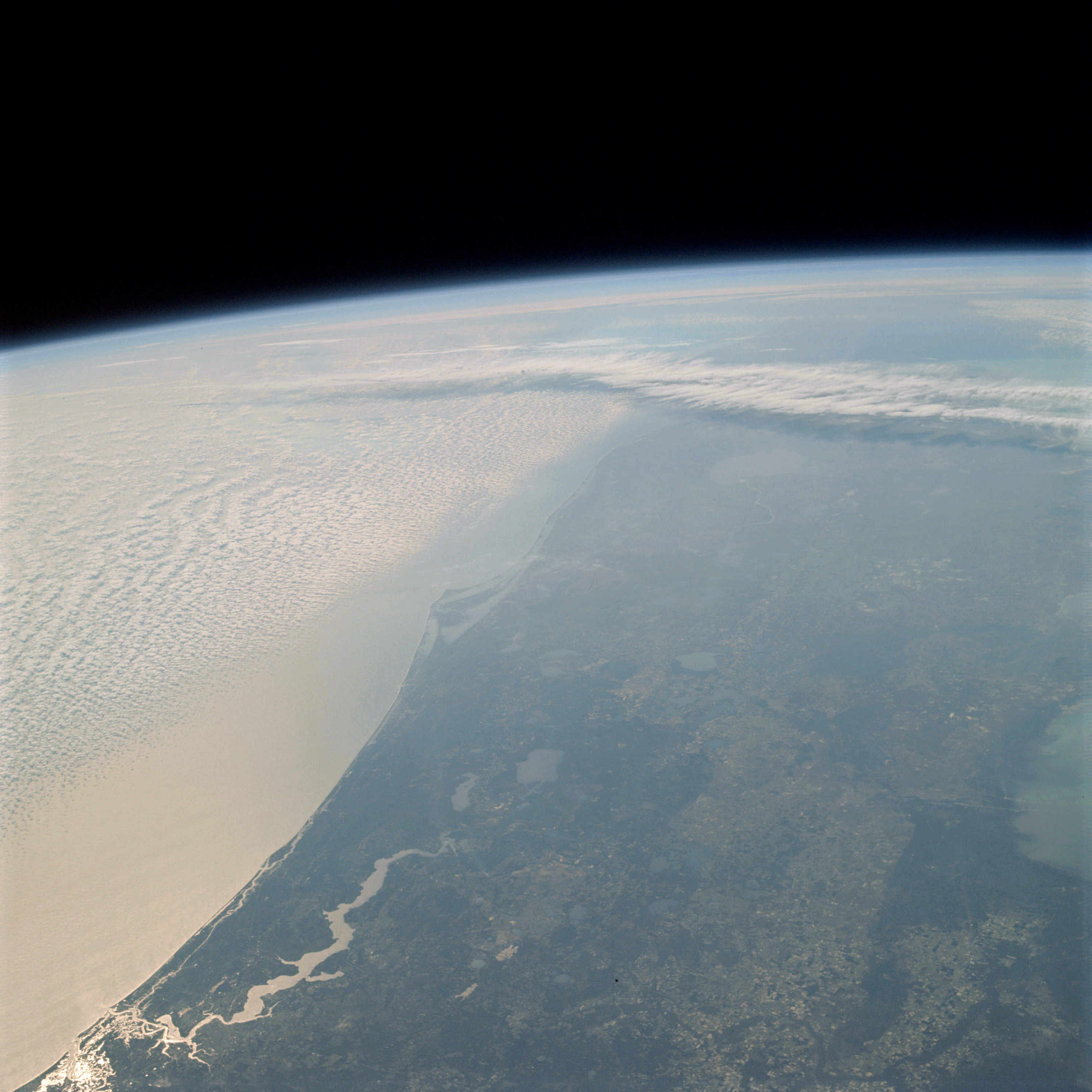 | AS09-19-3047 GEOGRAPHY/CARTOGRAPHY: United States, Florida, Cape Kennedy, Lake George, St. Johns River, Cities of Jacksonville, Daytona Beach, Orlando, Sanford, Cocoa, and Melbourne. GEOLOGY/HYDROLOGY: Coastal plain region. AGRICULTURE: Extensive cultivation, congested field patterns. FORESTRY: Mixed pine/hardwood with pure conifer stands. METEOROLOGY: Alto-cumulus, cirrus. OCEANOGRAPHY: Atlantic Ocean, sunglint. Image credit: Image Science and Analysis Laboratory, NASA-Johnson Space Center. |
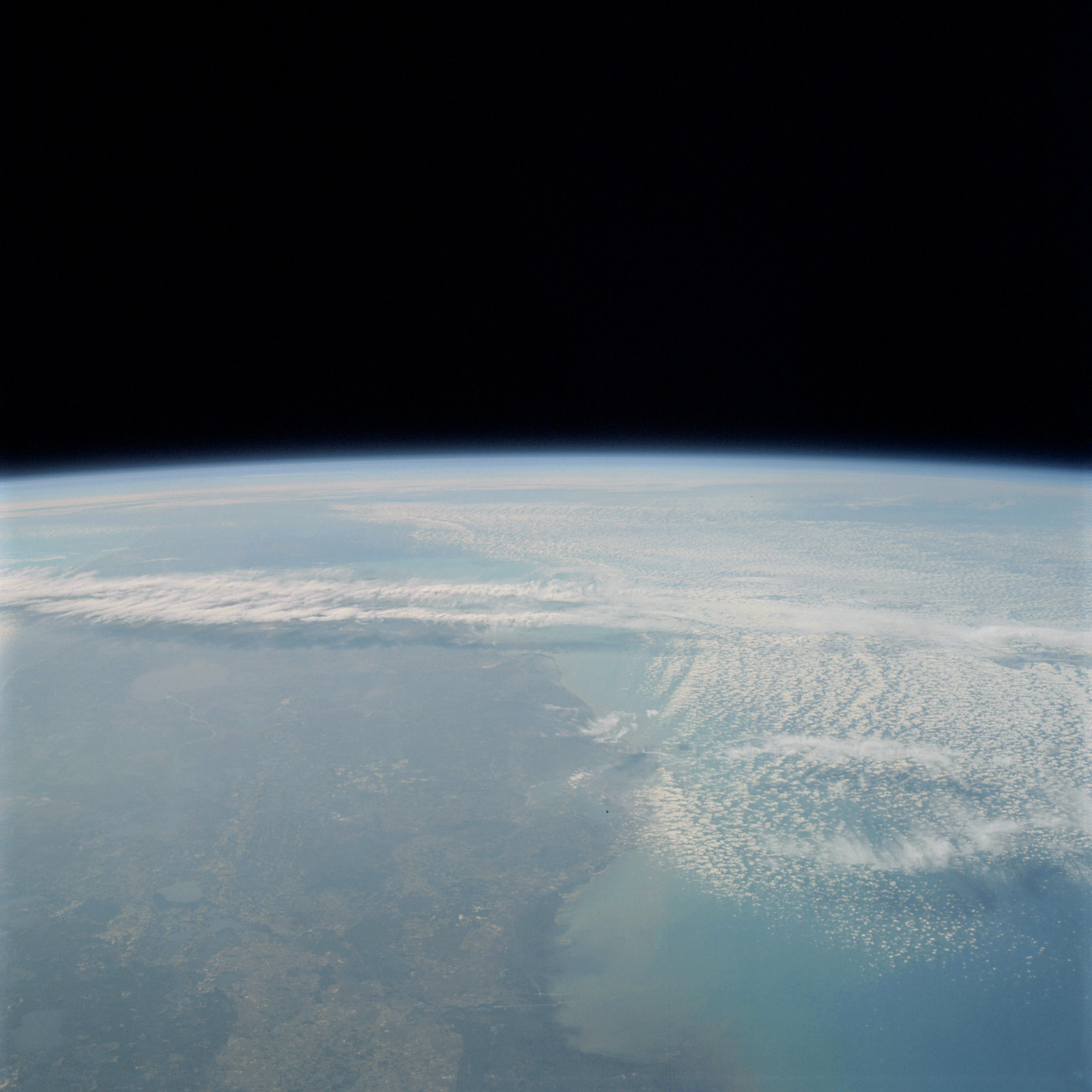 | AS09-19-3048 GEOGRAPHY/CARTOGRAPHY: United States, view of Florida looking from Gainesville south, Lake Okeechobee, Tampa, St. Petersburg, Lakeland, Sarasota, and Ft. Myer. GEOLOGY/HYDROLOGY: Coastal plain region. AGRICULTURE: Extensive cultivation with heavy congestion of field patterns. FORESTRY: Mixed pine/hardwood with some pure conifer forests. METEOROLOGY: Alto-cumulus, cirrus. Image credit: Image Science and Analysis Laboratory, NASA-Johnson Space Center. |
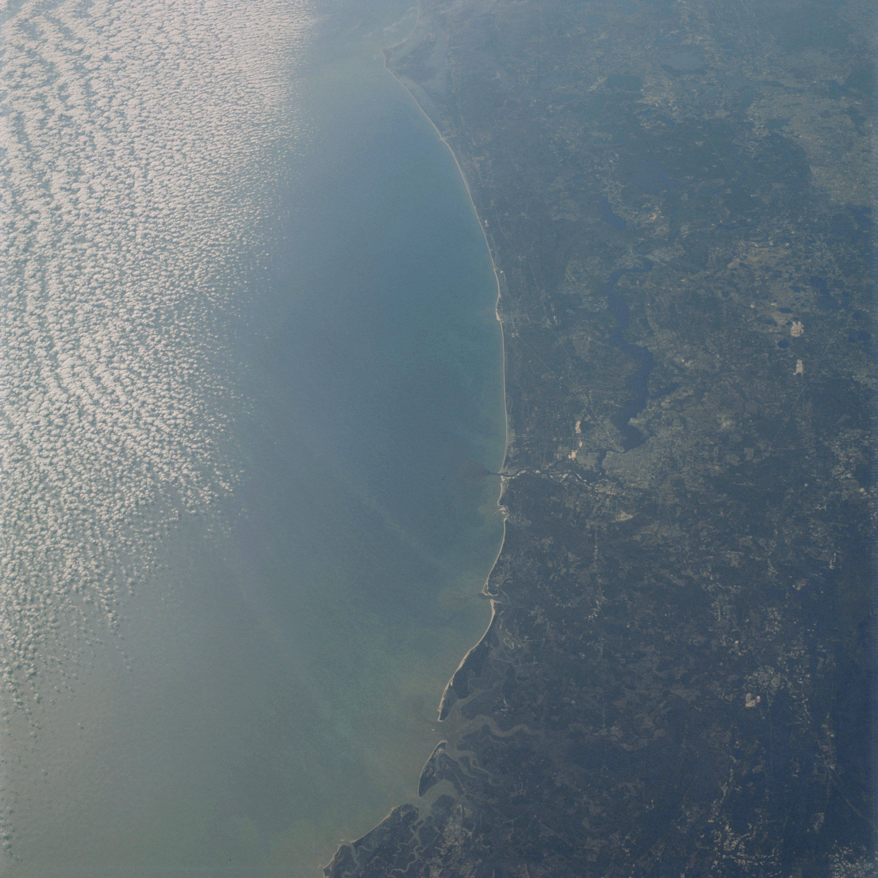 | AS09-19-3049 GEOGRAPHY/CARTOGRAPHY: United States, Florida, and Georgia, St. Johns River, Cities of Jacksonville, Brunswick, and Daytona Beach. GEOLOGY/HYDROLOGY: Coastal plain region. AGRICULTURE: Extensive cultivation, congested field patterns. FORESTRY: Mixed pine/hardwood. METEOROLOGY: Alto-cumulus. OCEANOGRAPHY: Atlantic Ocean, sediments in suspension in nearshore zone, dark water plume extending to offshore zone. Image credit: Image Science and Analysis Laboratory, NASA-Johnson Space Center. |
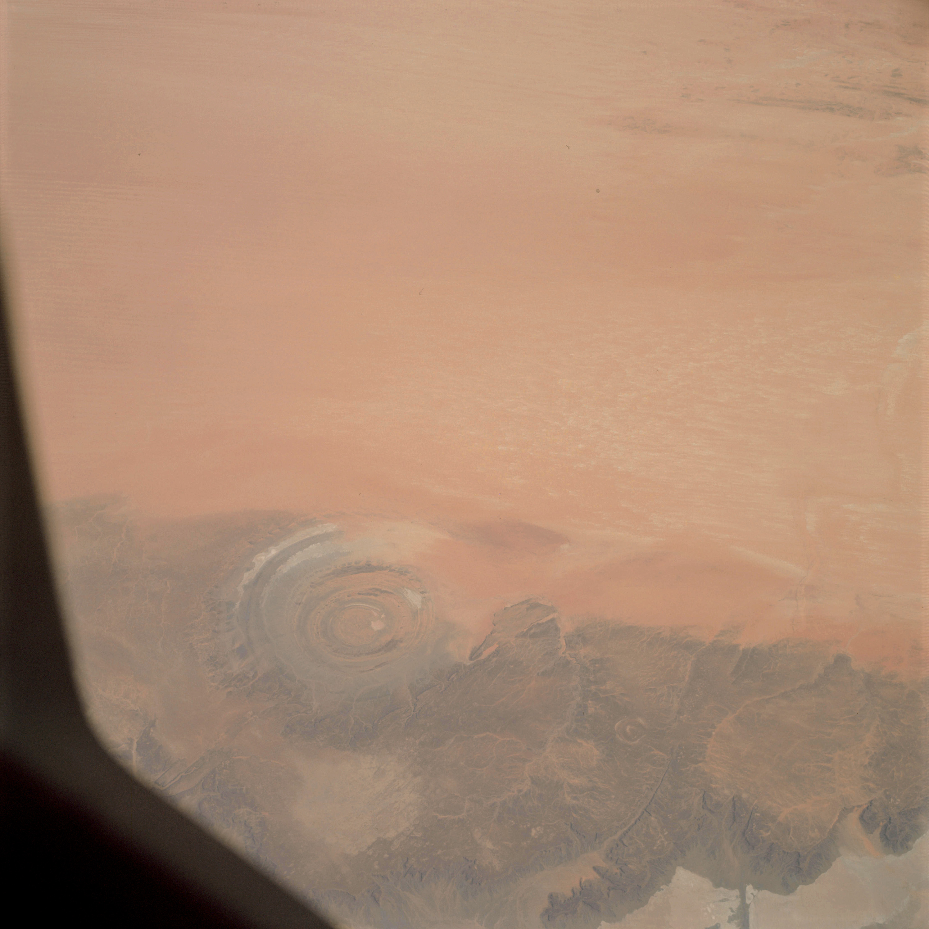 | AS09-19-3050 GEOGRAPHY/CARTOGRAPHY: Africa, Mauritania, Guolb or Richat Dome, Dhar Adrar Mountains, Ouarana Desert. GEOLOGY/HYDROLOGY: Richat dome structure and complex plateau region. FORESTRY: Scattered desert shrubform. Image credit: Image Science and Analysis Laboratory, NASA-Johnson Space Center. |
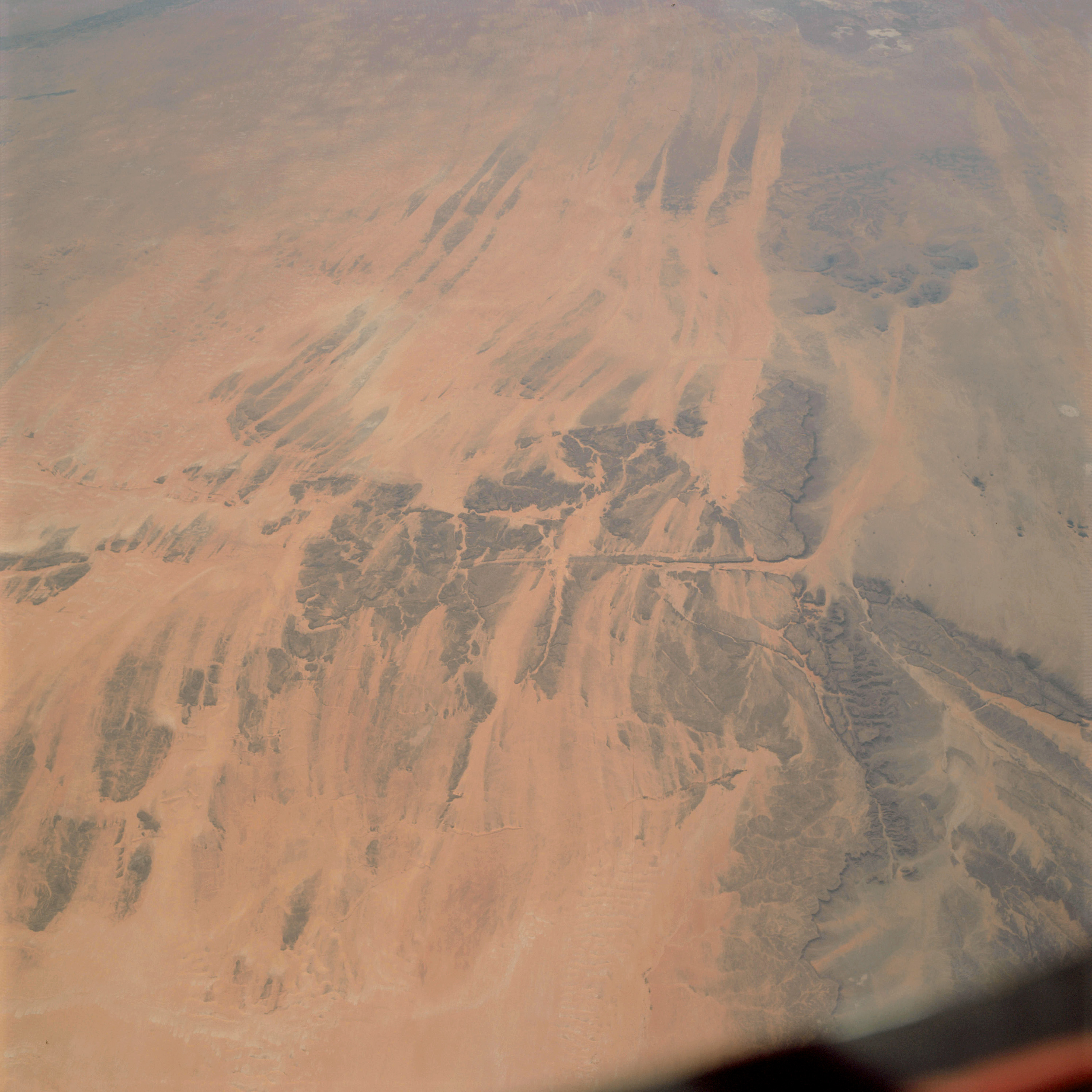 | AS09-19-3051 GEOGRAPHY/CARTOGRAPHY: Africa, Mauritania, Dhar Adrar, Akchar Desert, Village of Atar. GEOLOGY/HYDROLOGY: Complex fractured sedimentary plateau region. FORESTRY: Scattered desert shrubform. Image credit: Image Science and Analysis Laboratory, NASA-Johnson Space Center. |
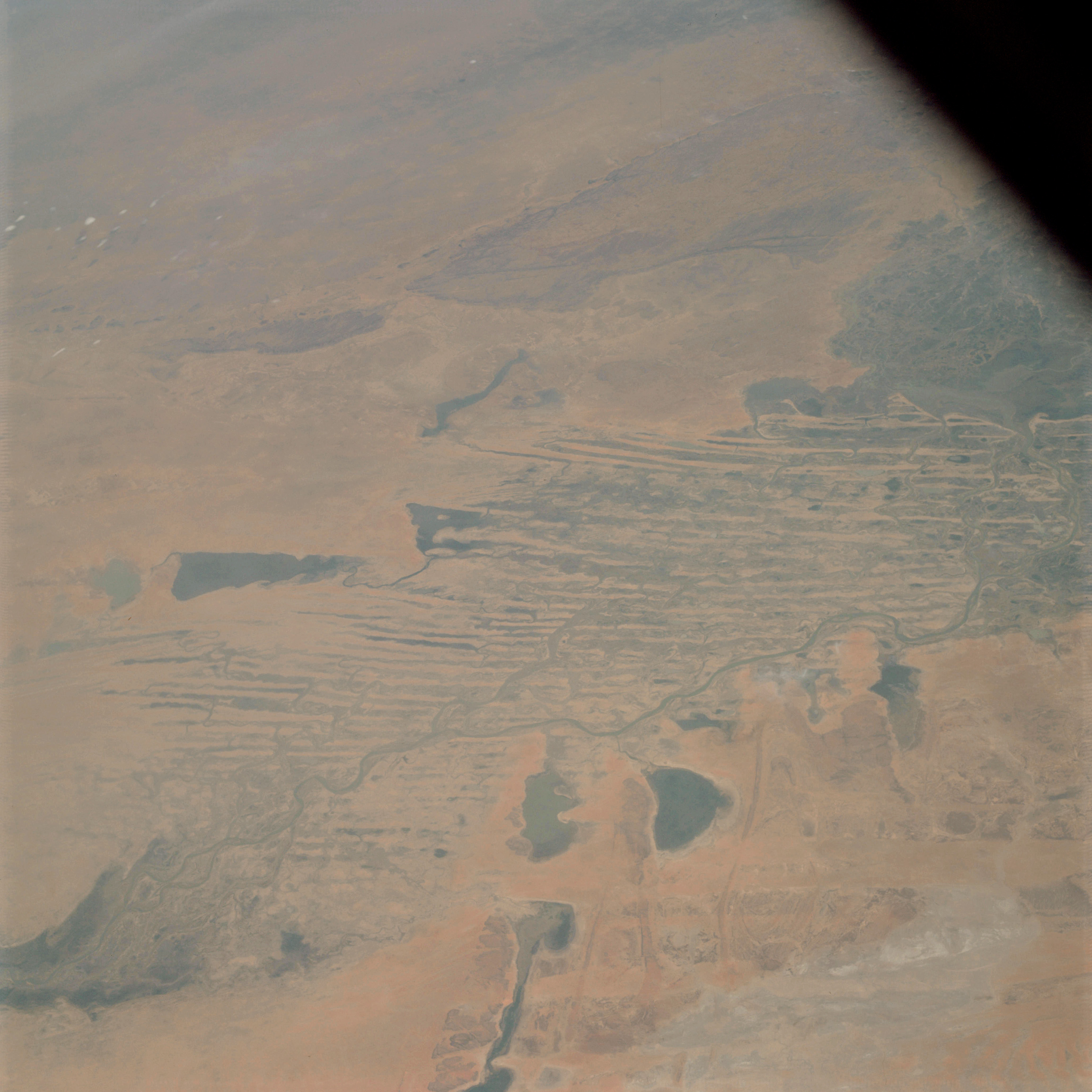 | AS09-19-3052 GEOGRAPHY/CARTOGRAPHY: Africa, Mali, Niger River, Timbuktu, Goundam and Sarafere, Lakes Niangaye, Do, Garou, and Aougoungou. GEOLOGY/HYDROLOGY: Flood plain and stabilized seif dunes with intervening drainage. FORESTRY: Scattered desert shrubform. Image credit: Image Science and Analysis Laboratory, NASA-Johnson Space Center. |
 | AS09-19-3052A GEOGRAPHY/CARTOGRAPHY: Africa, Mali, Niger River, Timbuktu, Goundam and Sarafere, Lakes Niangaye, Do, Garou, and Aougoungou. GEOLOGY/HYDROLOGY: Flood plain and stabilized seif dunes with intervening drainage. FORESTRY: Scattered desert shrubform. Image credit: Image Science and Analysis Laboratory, NASA-Johnson Space Center. |
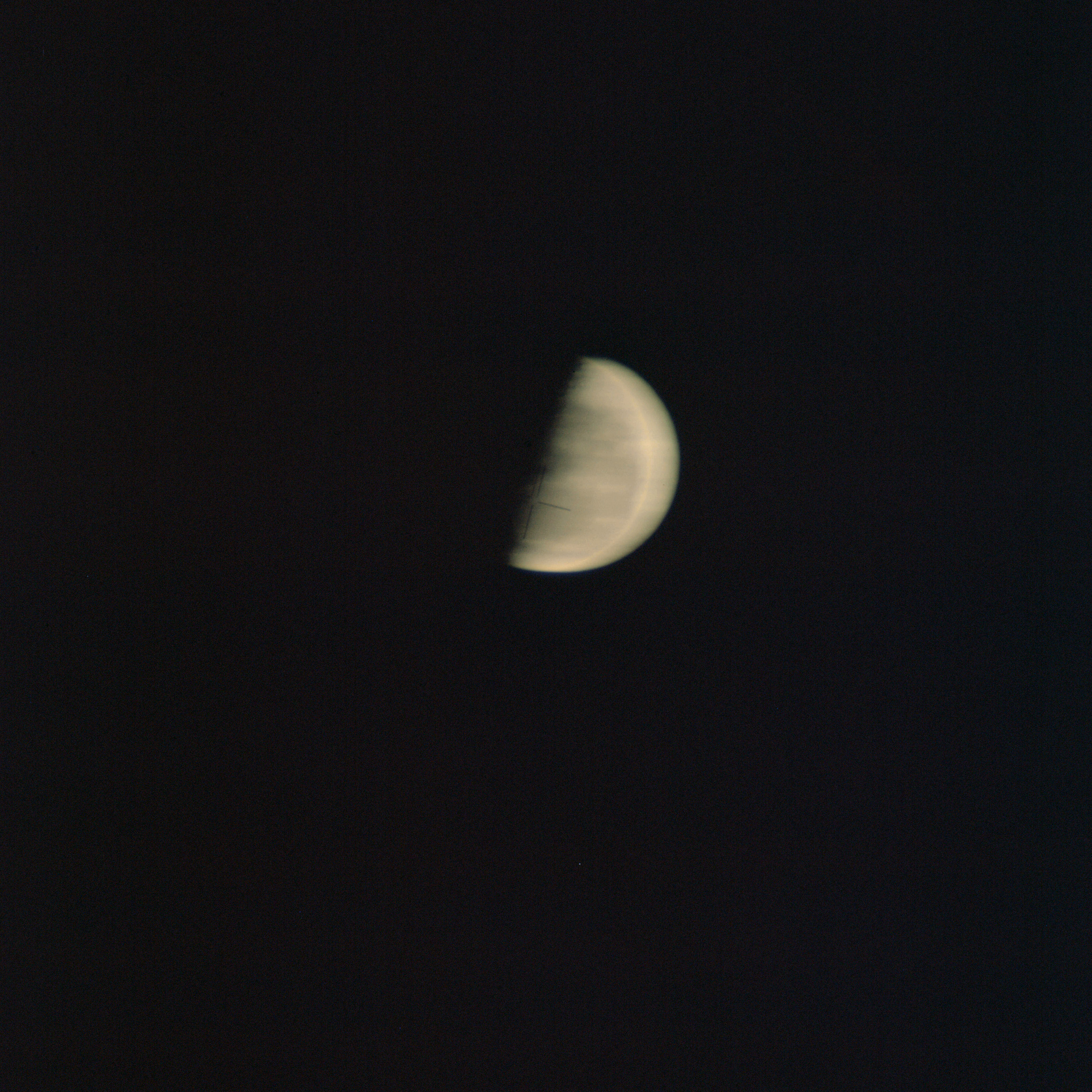 | AS09-19-3052B GEOGRAPHY/CARTOGRAPHY: Africa, Mali, Niger River, Timbuktu, Goundam and Sarafere, Lakes Niangaye, Do, Garou, and Aougoungou. GEOLOGY/HYDROLOGY: Flood plain and stabilized seif dunes with intervening drainage. FORESTRY: Scattered desert shrubform. Image credit: Image Science and Analysis Laboratory, NASA-Johnson Space Center. |
|
|
| Photography Index | 70-mm magazine E - AS09-20-3053 to 3177 |