
 |
 |
 |
| 70-mm magazine A - AS09-19-2909 to 3052 |
Photography Index | 70-mm magazine B - AS09-21-3178 to 3323 |
No copyright is asserted for NASA photographs. If a recognizable person appears in a photo, use for commercial purposes may infringe a right of privacy or publicity. Photos may not be used to state or imply the endorsement by NASA or by any NASA employee of a commercial product, process or service, or used in any other manner that might mislead. Accordingly, it is requested that if a NASA photograph is used in advertising and other commercial promotion, layout and copy be submitted to NASA prior to release. NASA photos reproduced from this archive should include photo credit to "NASA" or "National Aeronautics and Space Administration" and should include scanning credit to the appropriate individuals or agencies as noted in the captions.
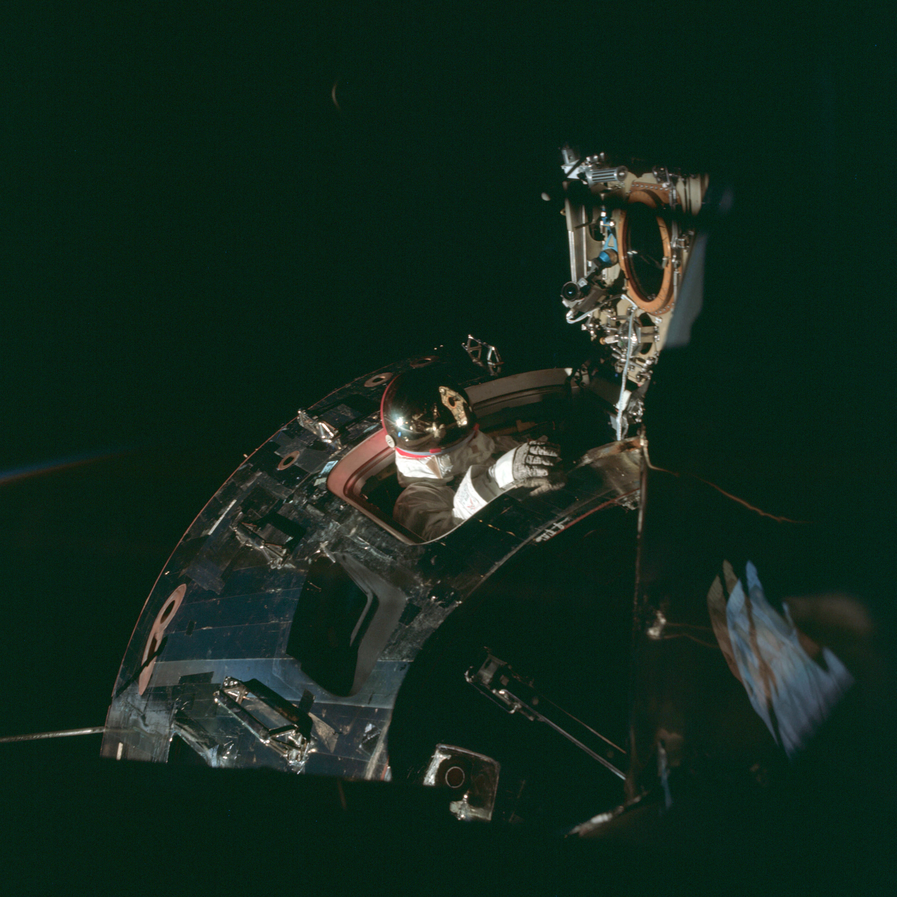 | AS09-20-3053 Command Module, space walk Image credit: Image Science and Analysis Laboratory, NASA-Johnson Space Center. |
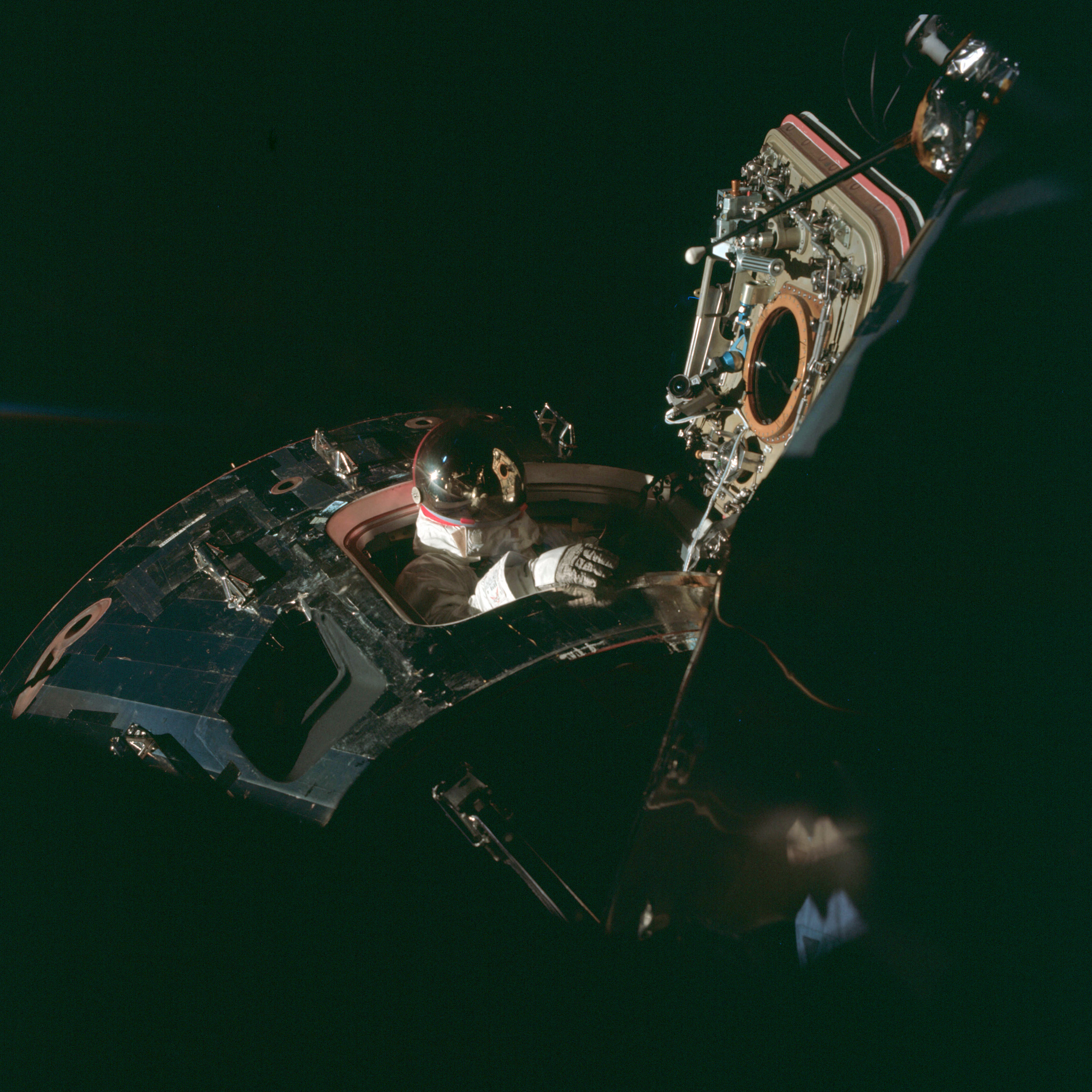 | AS09-20-3054 Command Module, space walk Image credit: Image Science and Analysis Laboratory, NASA-Johnson Space Center. |
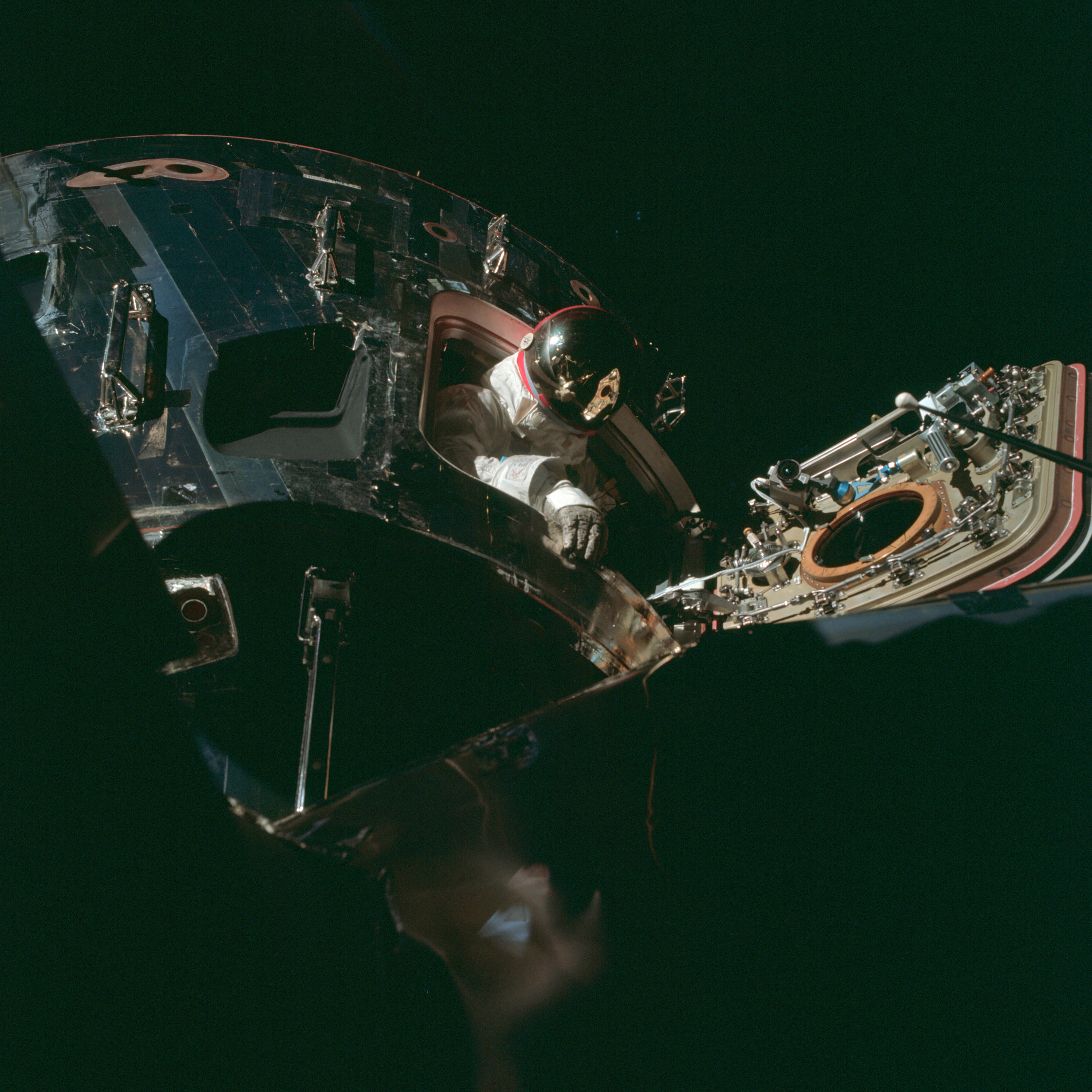 | AS09-20-3055 Command Module, space walk Image credit: Image Science and Analysis Laboratory, NASA-Johnson Space Center. |
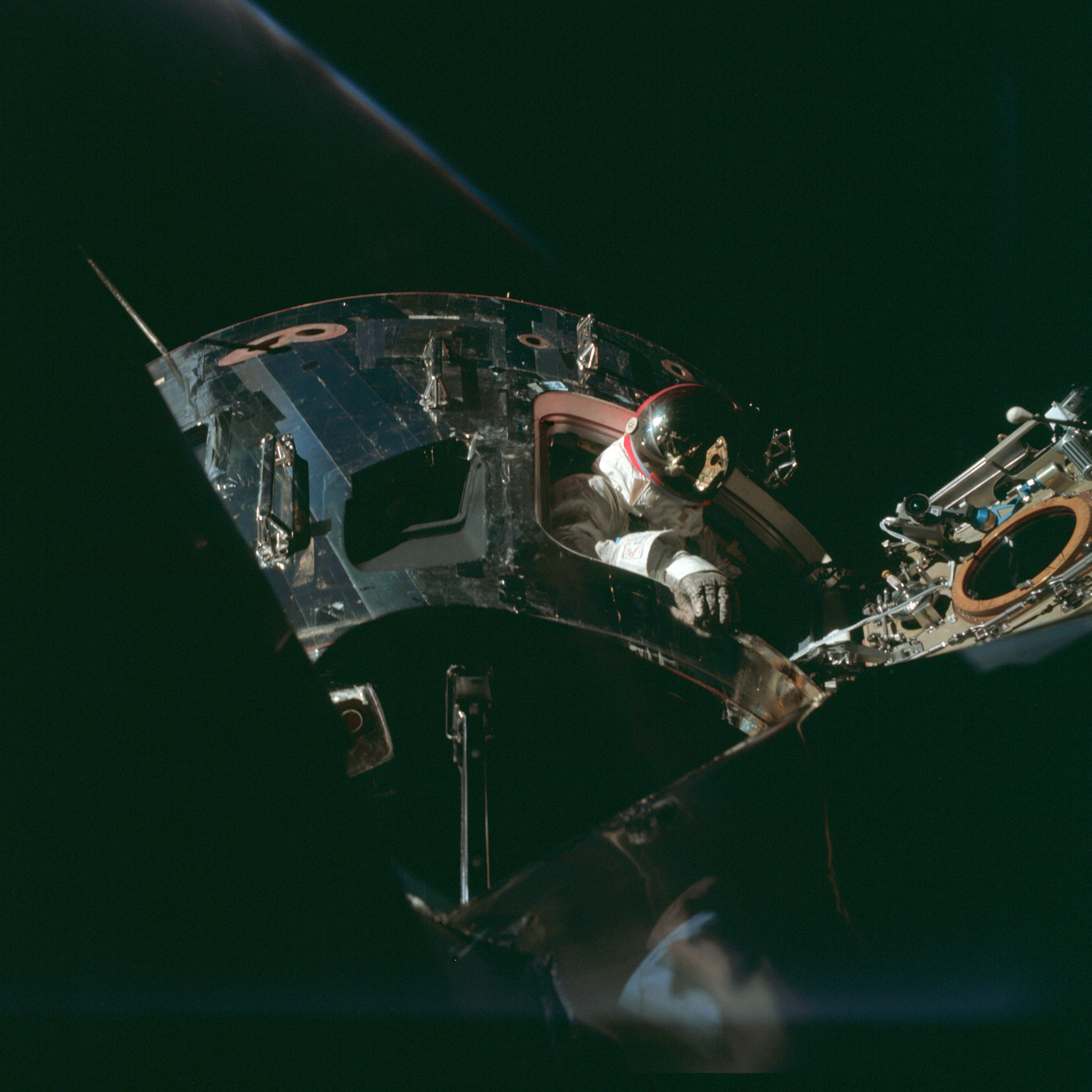 | AS09-20-3056 Command Module, space walk Image credit: Image Science and Analysis Laboratory, NASA-Johnson Space Center. |
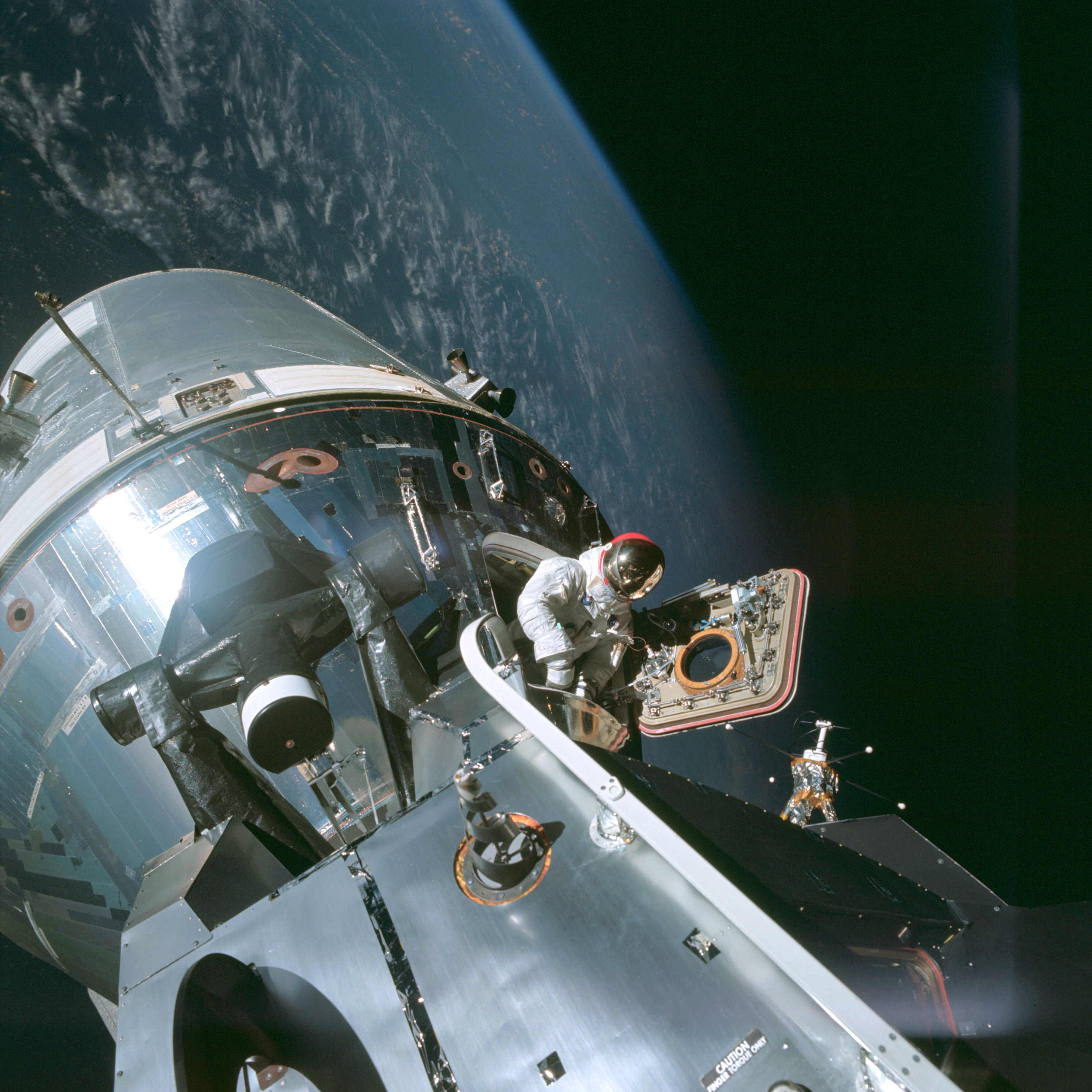 | AS09-20-3057 Command Module, space walk Image credit: Image Science and Analysis Laboratory, NASA-Johnson Space Center. |
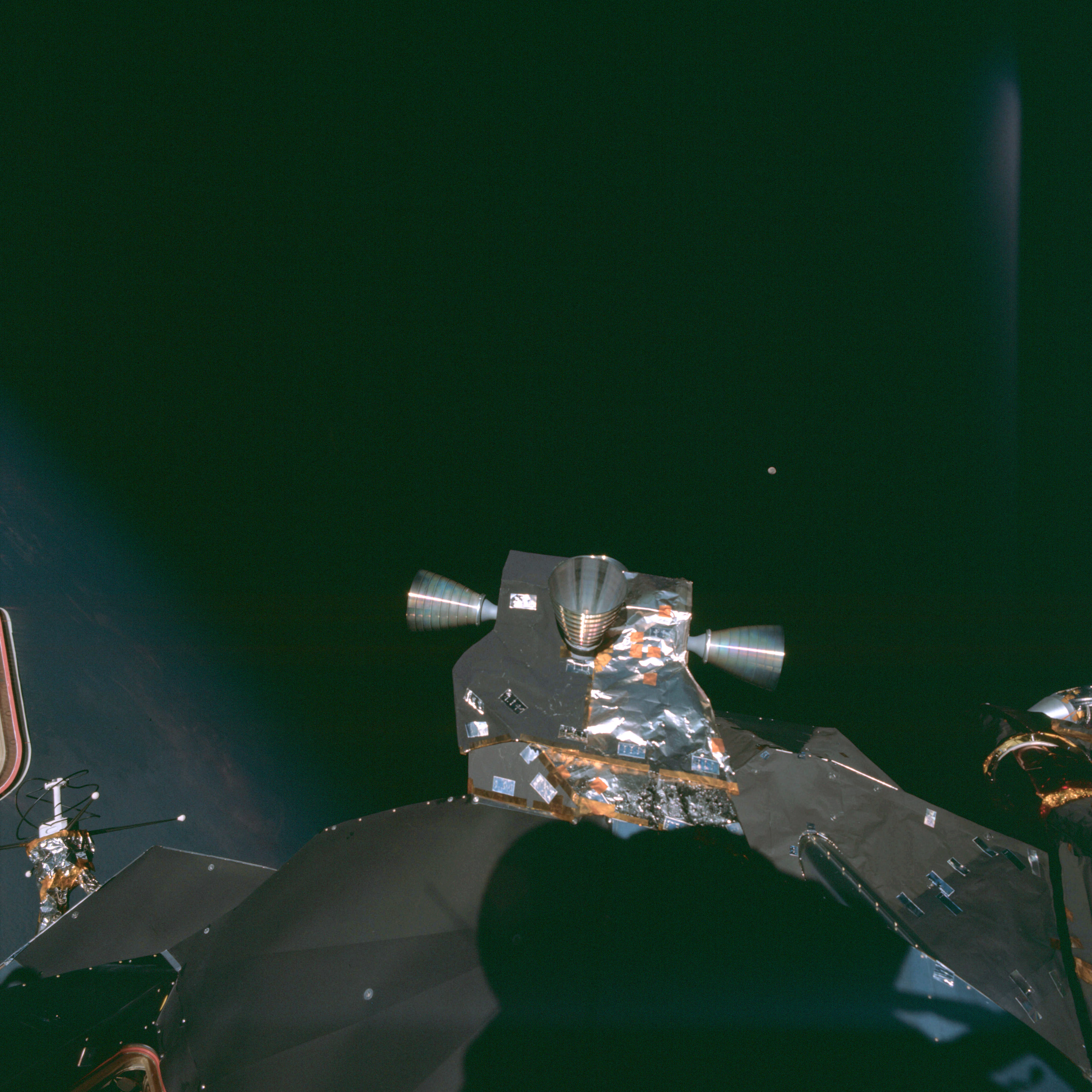 | AS09-20-3058 Retro rockets on Lunar Module Image credit: Image Science and Analysis Laboratory, NASA-Johnson Space Center. |
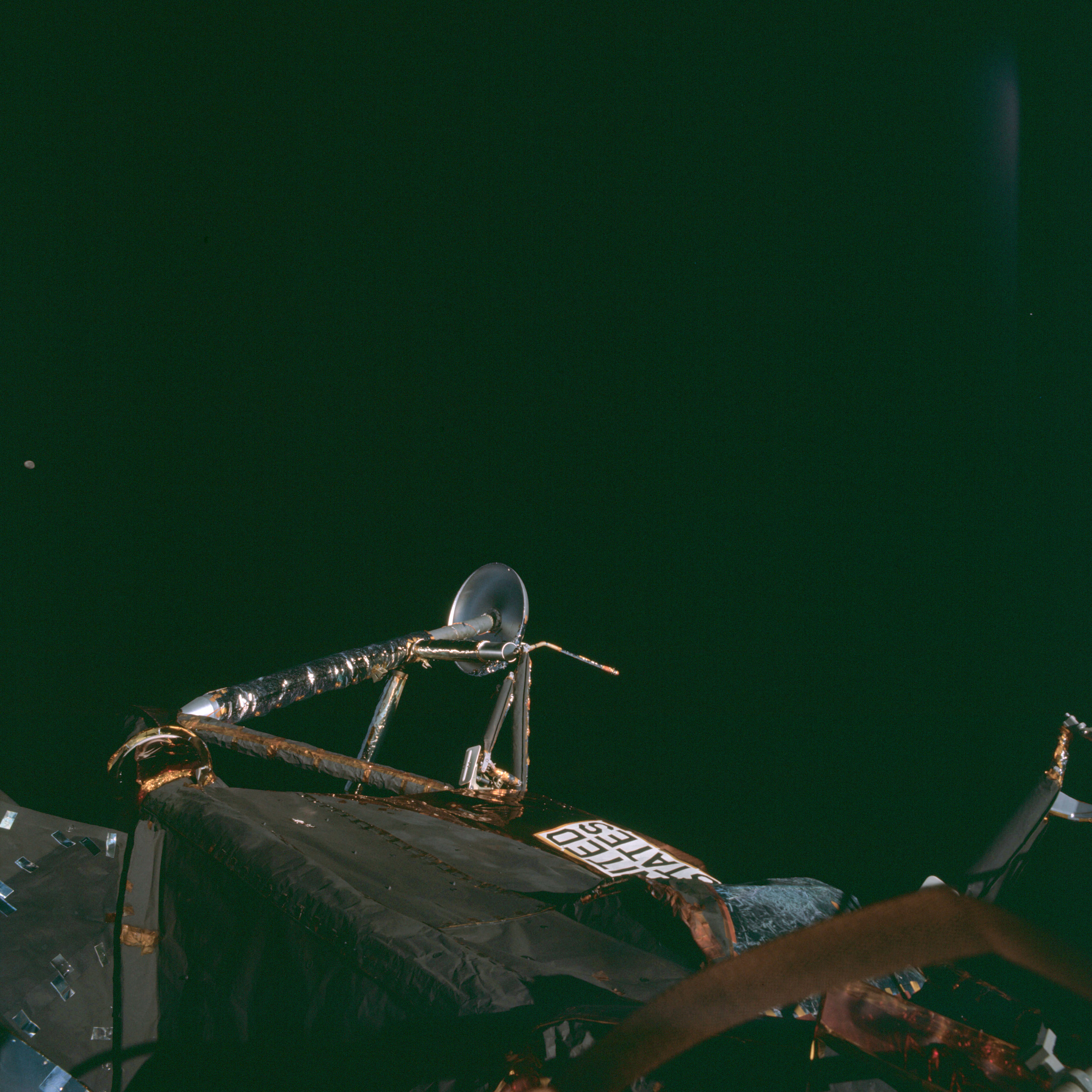 | AS09-20-3059 Leg of Lunar Module Image credit: Image Science and Analysis Laboratory, NASA-Johnson Space Center. |
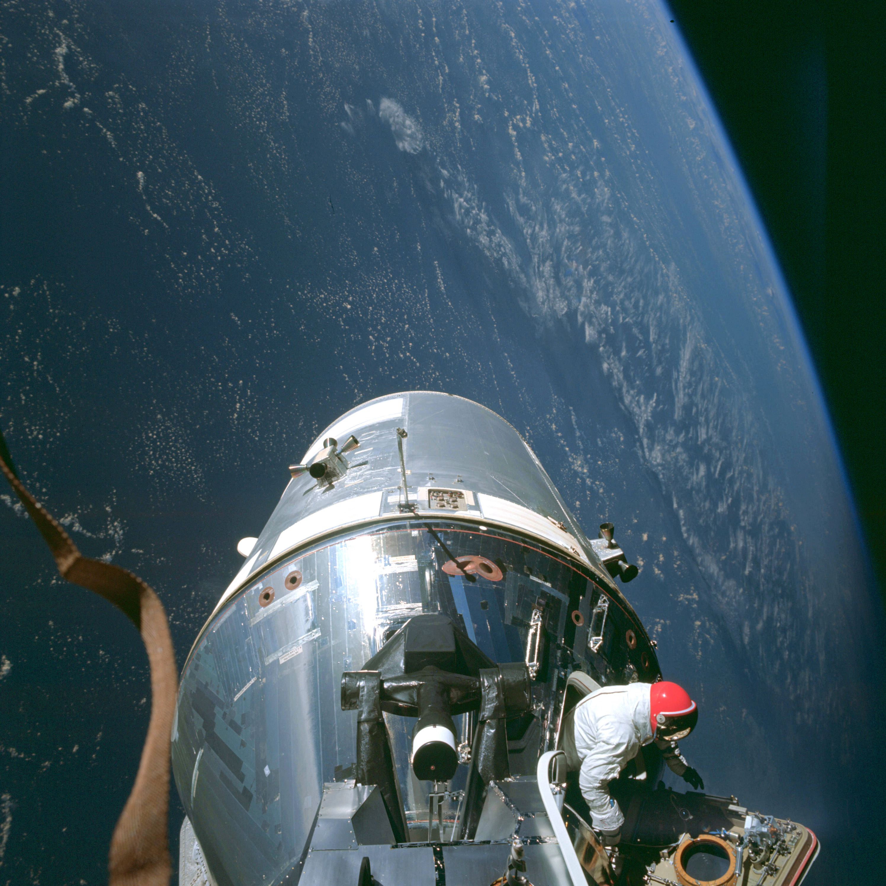 | AS09-20-3060 Command Module, space walk Image credit: Image Science and Analysis Laboratory, NASA-Johnson Space Center. |
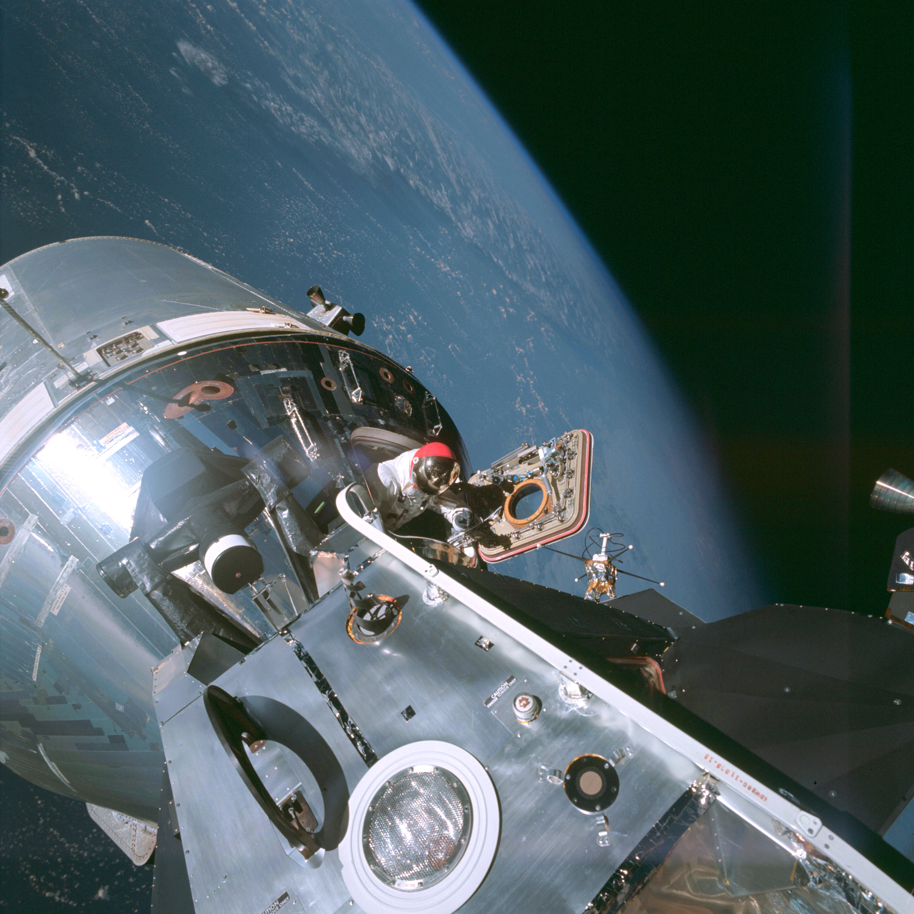 | AS09-20-3061 Command Module, space walk Image credit: Image Science and Analysis Laboratory, NASA-Johnson Space Center. |
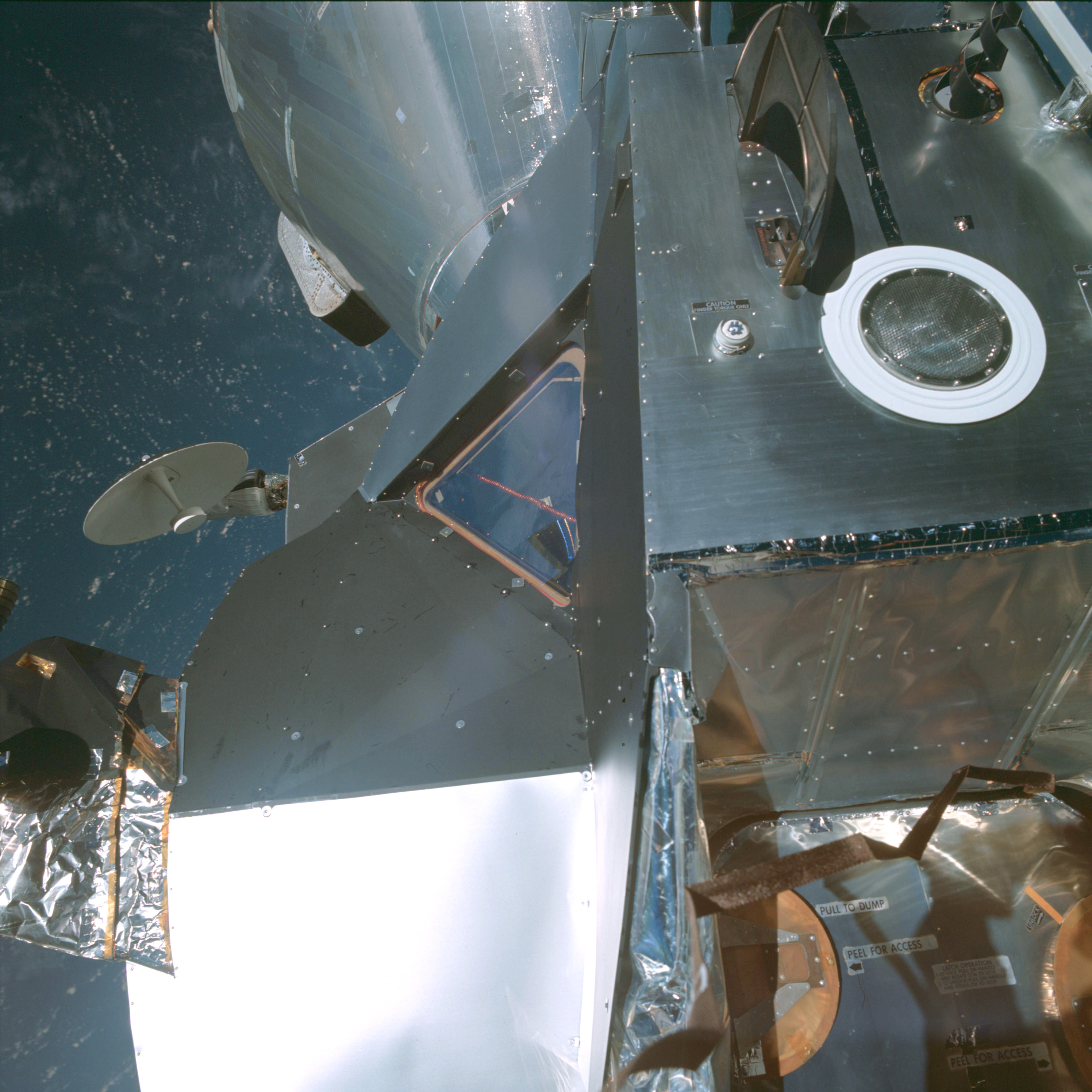 | AS09-20-3062 Lunar Module Image credit: Image Science and Analysis Laboratory, NASA-Johnson Space Center. |
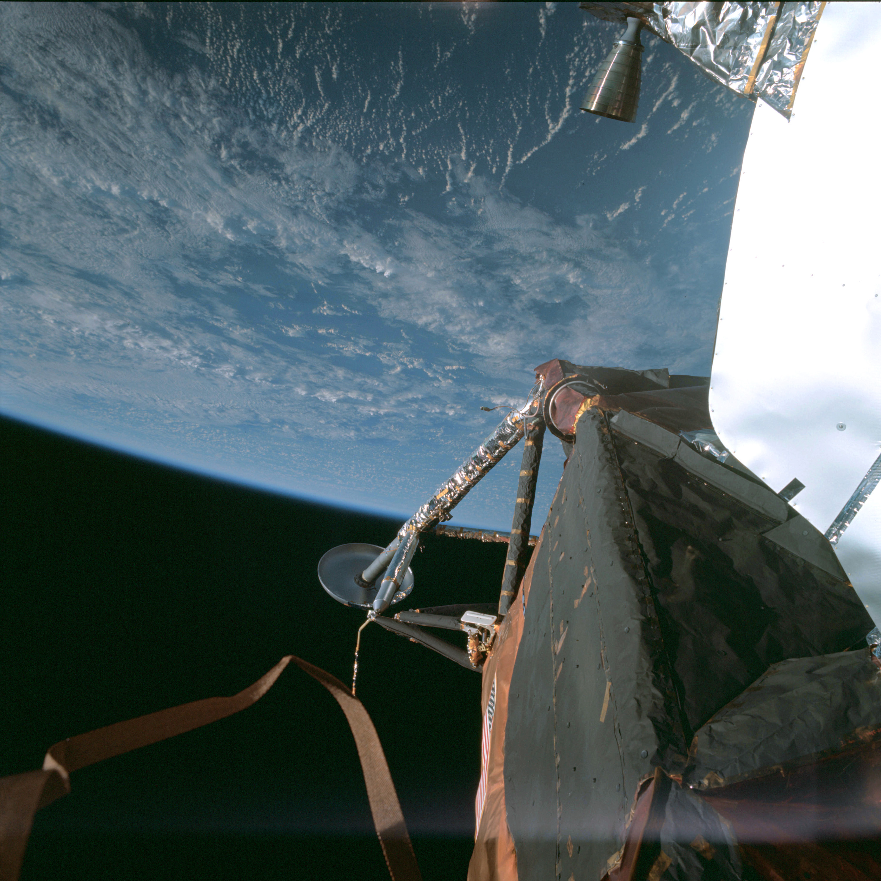 | AS09-20-3063 Leg of Lunar Module Image credit: Image Science and Analysis Laboratory, NASA-Johnson Space Center. |
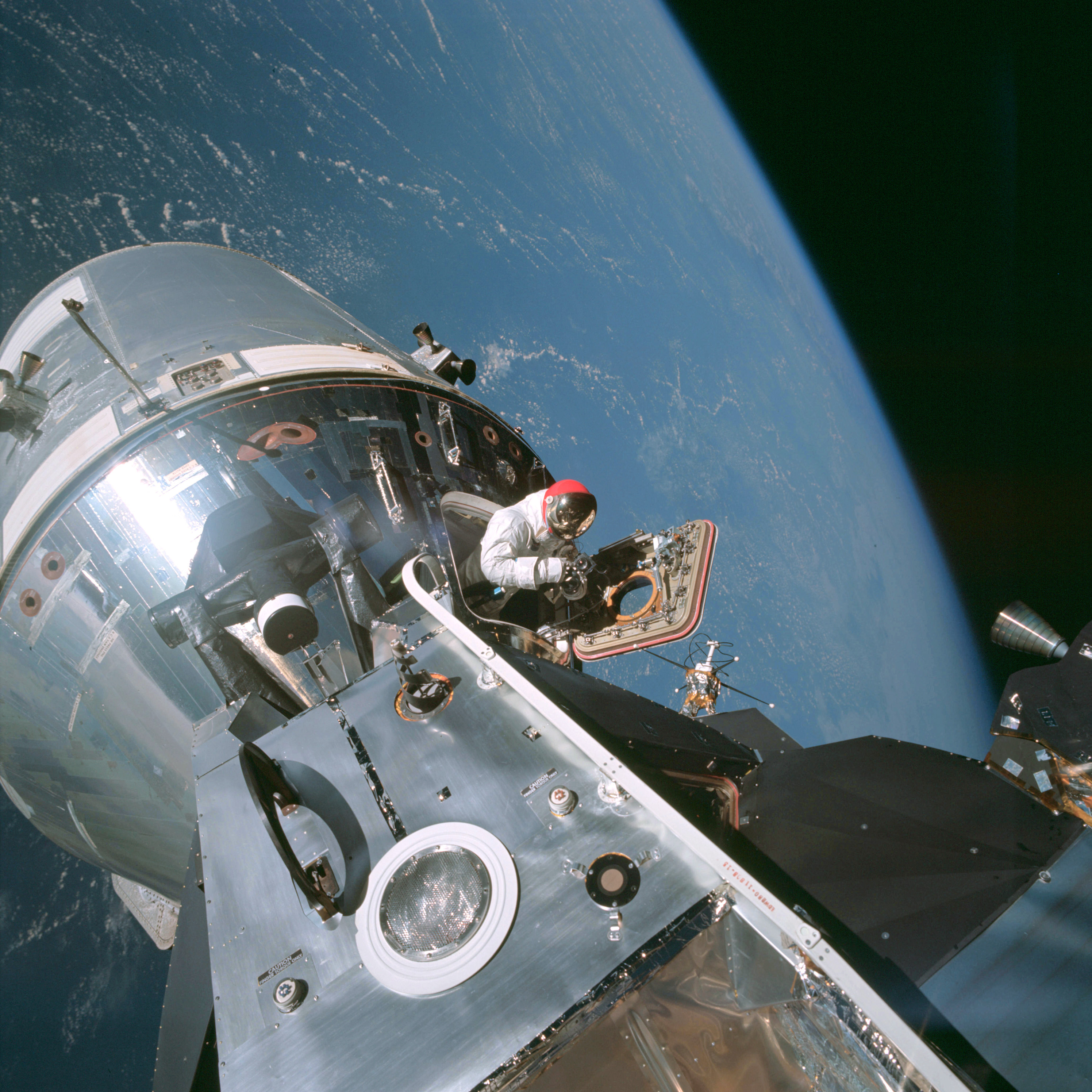 | AS09-20-3064 Command Module, space walk Image credit: Image Science and Analysis Laboratory, NASA-Johnson Space Center. |
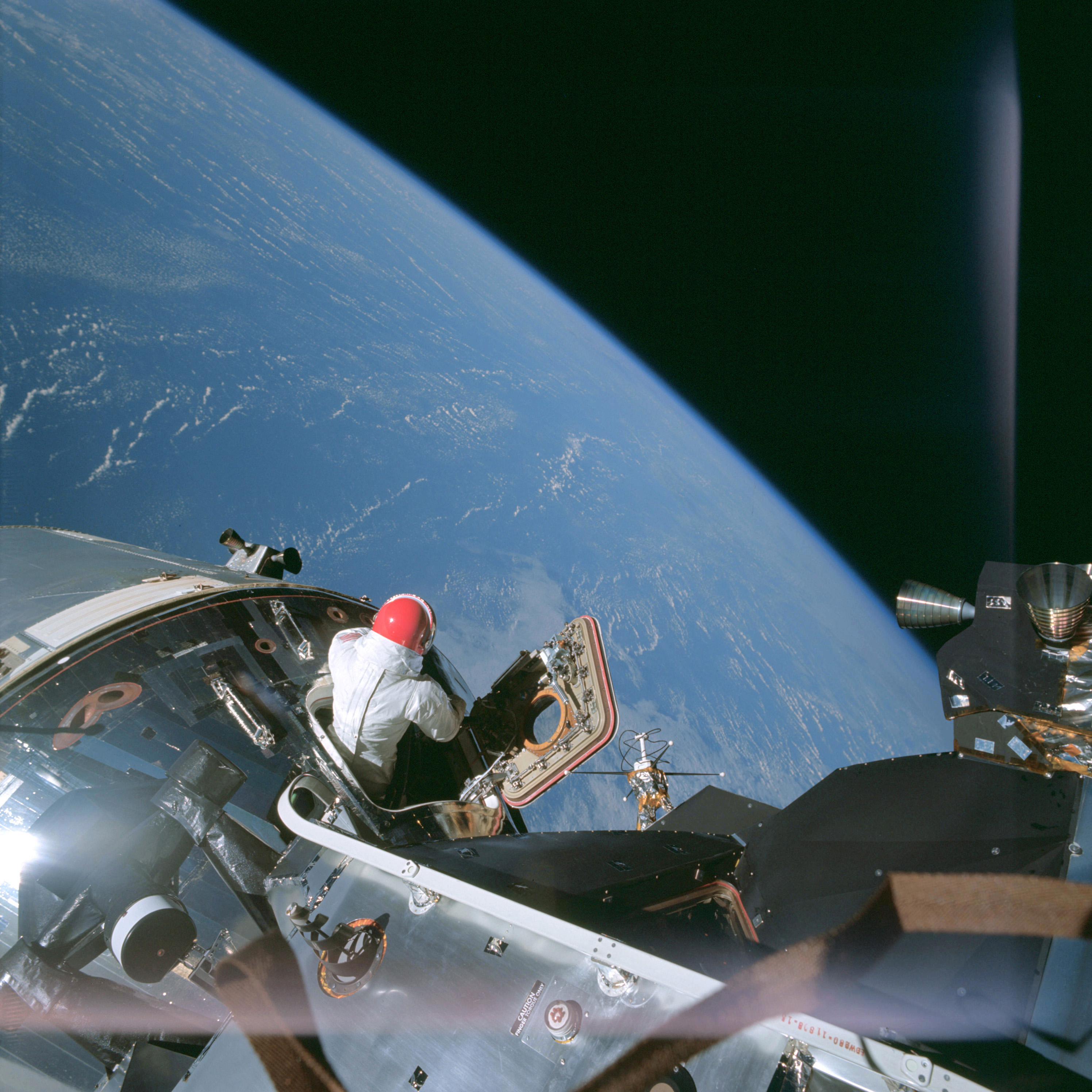 | AS09-20-3065 Command Module, space walk Image credit: Image Science and Analysis Laboratory, NASA-Johnson Space Center. |
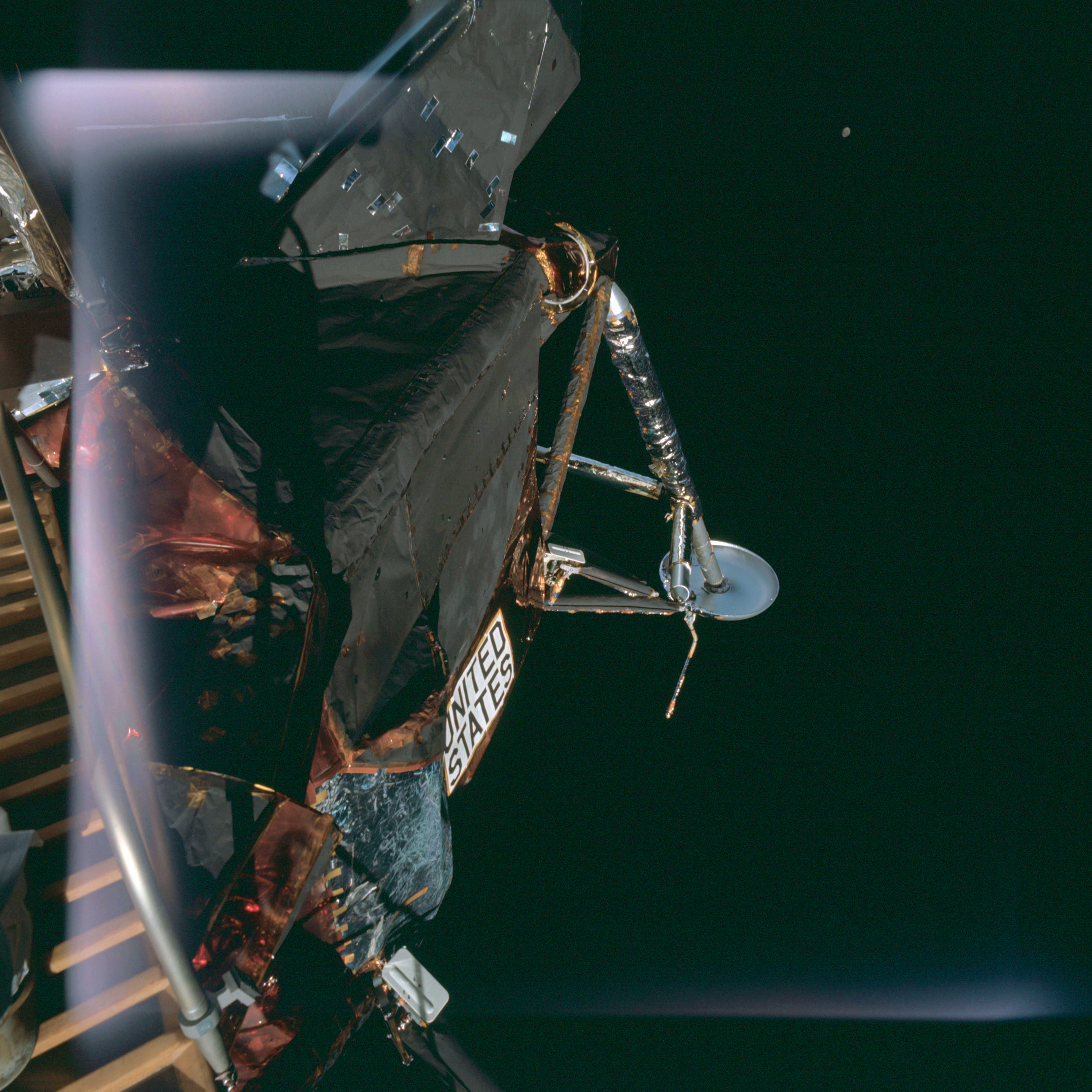 | AS09-20-3066 Leg of Lunar Module Image credit: Image Science and Analysis Laboratory, NASA-Johnson Space Center. |
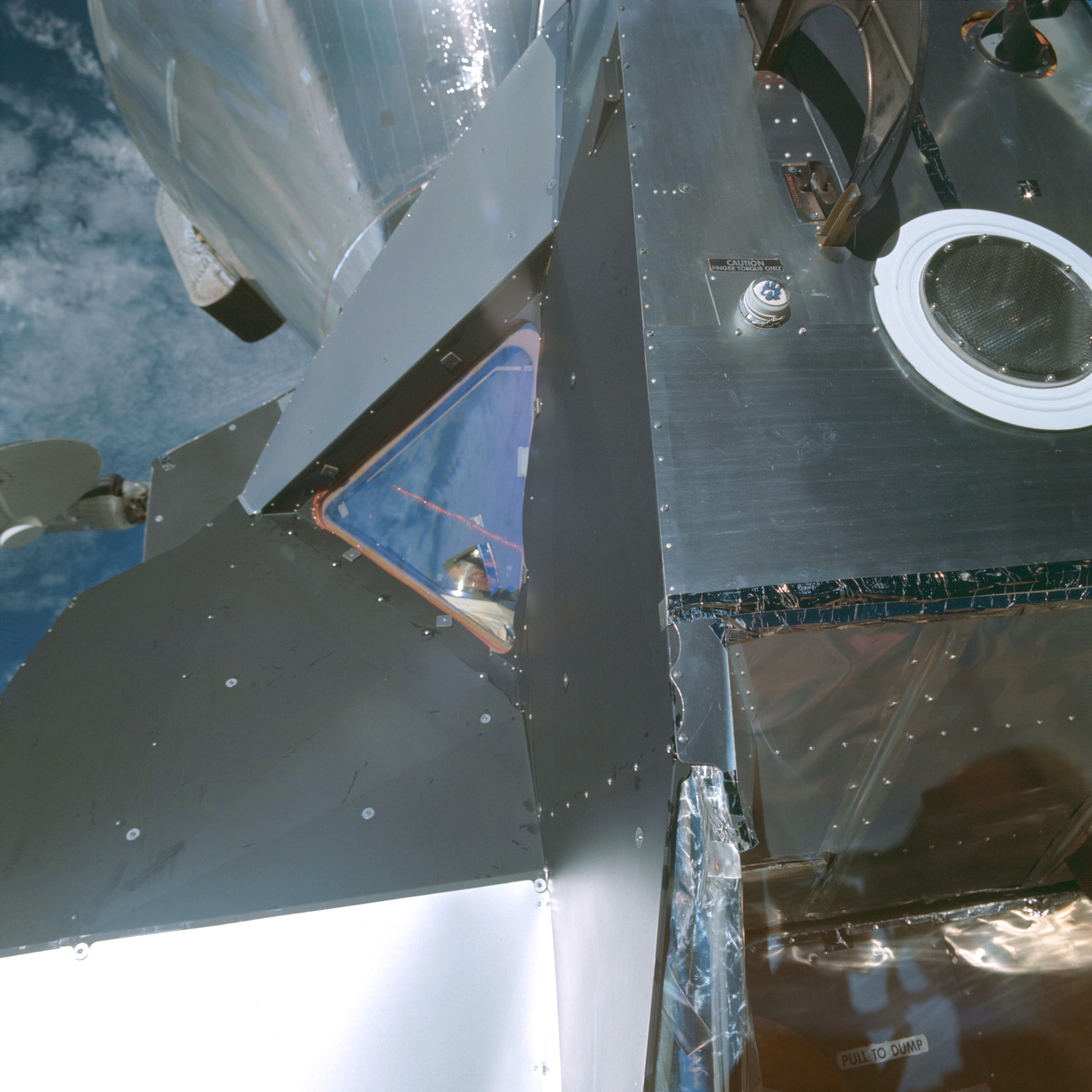 | AS09-20-3067 Lunar Module Image credit: Image Science and Analysis Laboratory, NASA-Johnson Space Center. |
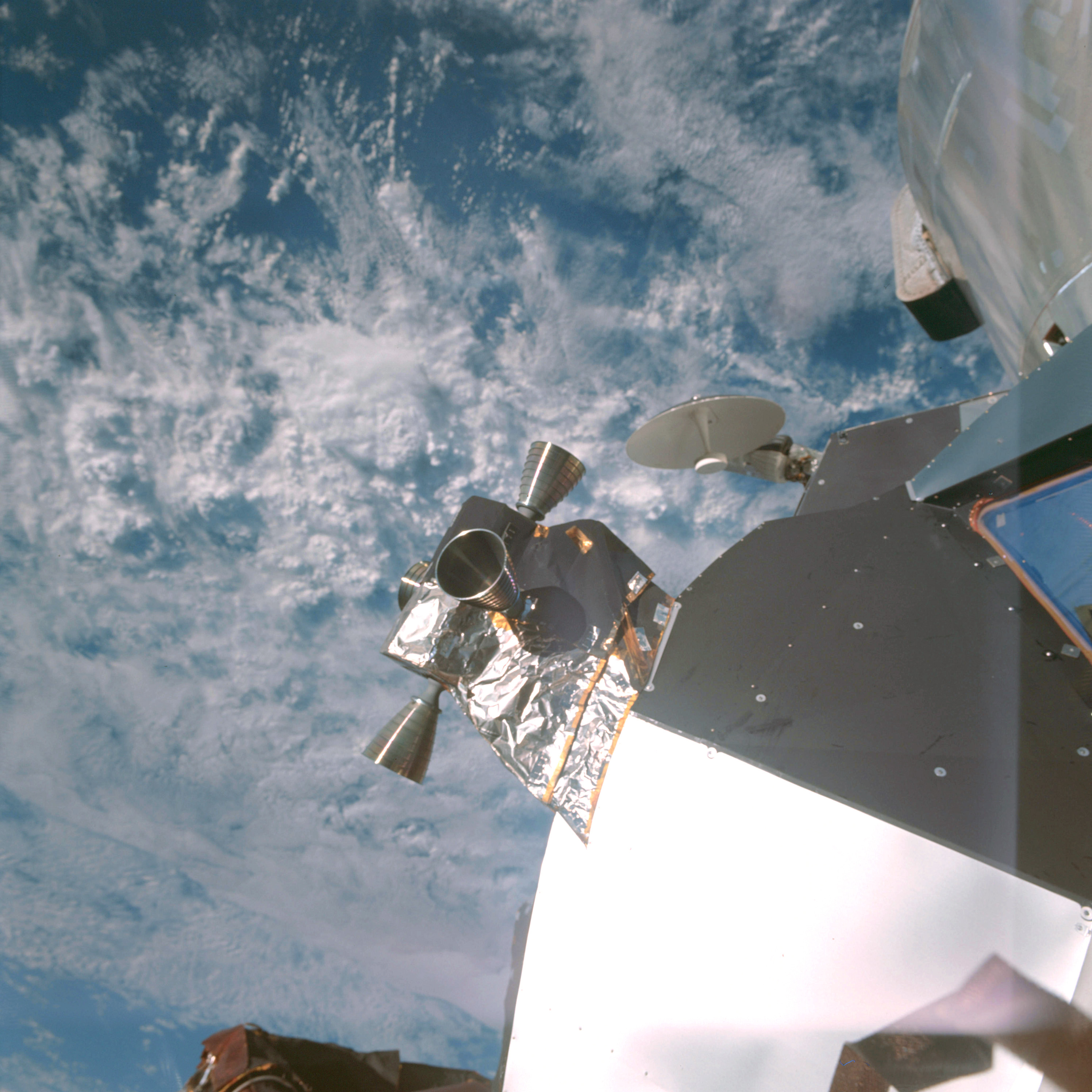 | AS09-20-3068 Retro rockets on Lunar Module Image credit: Image Science and Analysis Laboratory, NASA-Johnson Space Center. |
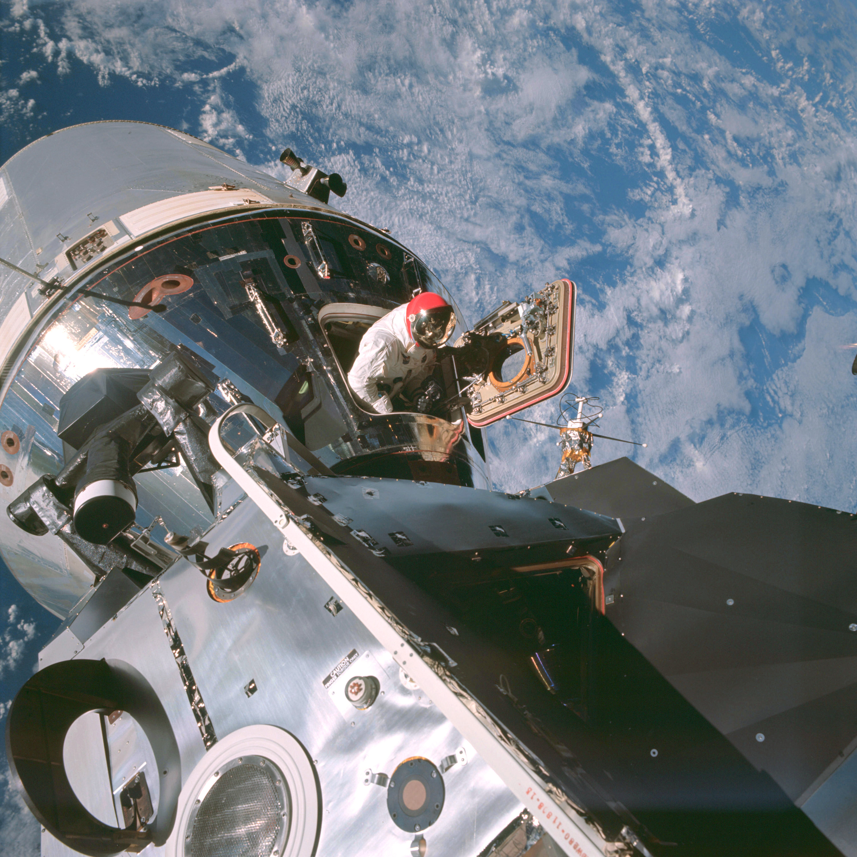 | AS09-20-3069 Lunar Module, Command Module, space walk Image credit: Image Science and Analysis Laboratory, NASA-Johnson Space Center. |
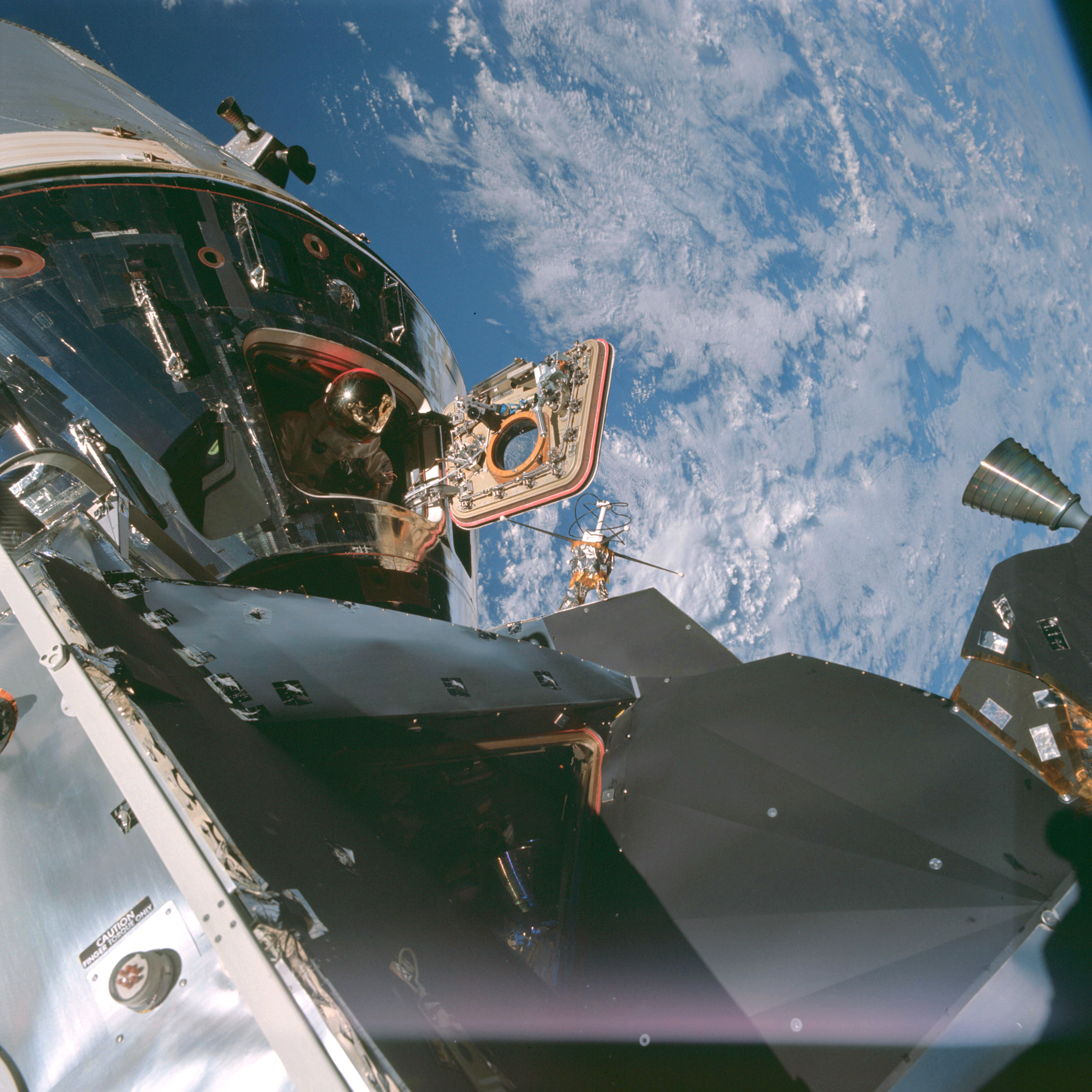 | AS09-20-3070 Lunar Module, Command Module, space walk Image credit: Image Science and Analysis Laboratory, NASA-Johnson Space Center. |
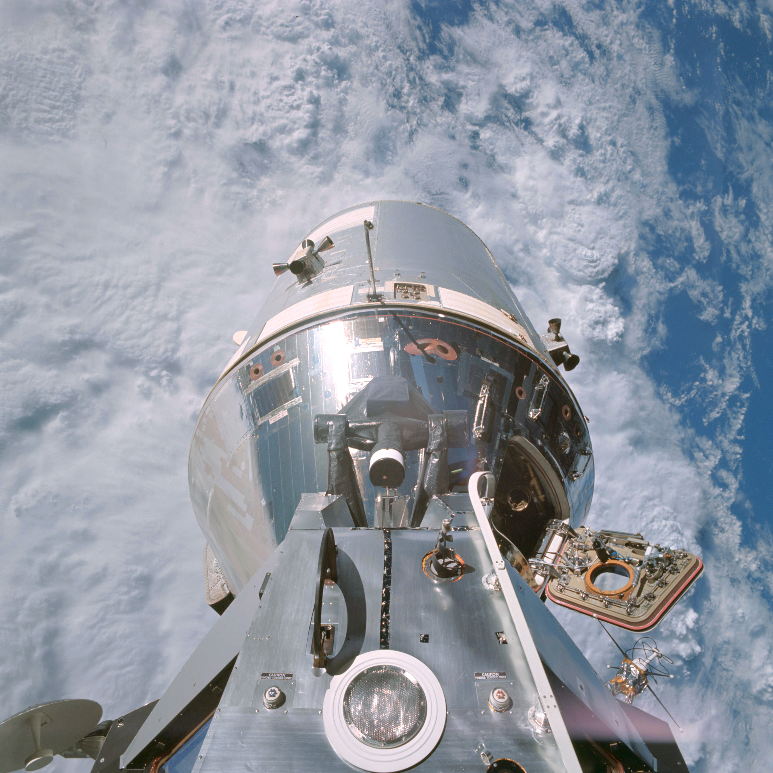 | AS09-20-3071 Lunar Module, Command Module, space walk Image credit: Image Science and Analysis Laboratory, NASA-Johnson Space Center. |
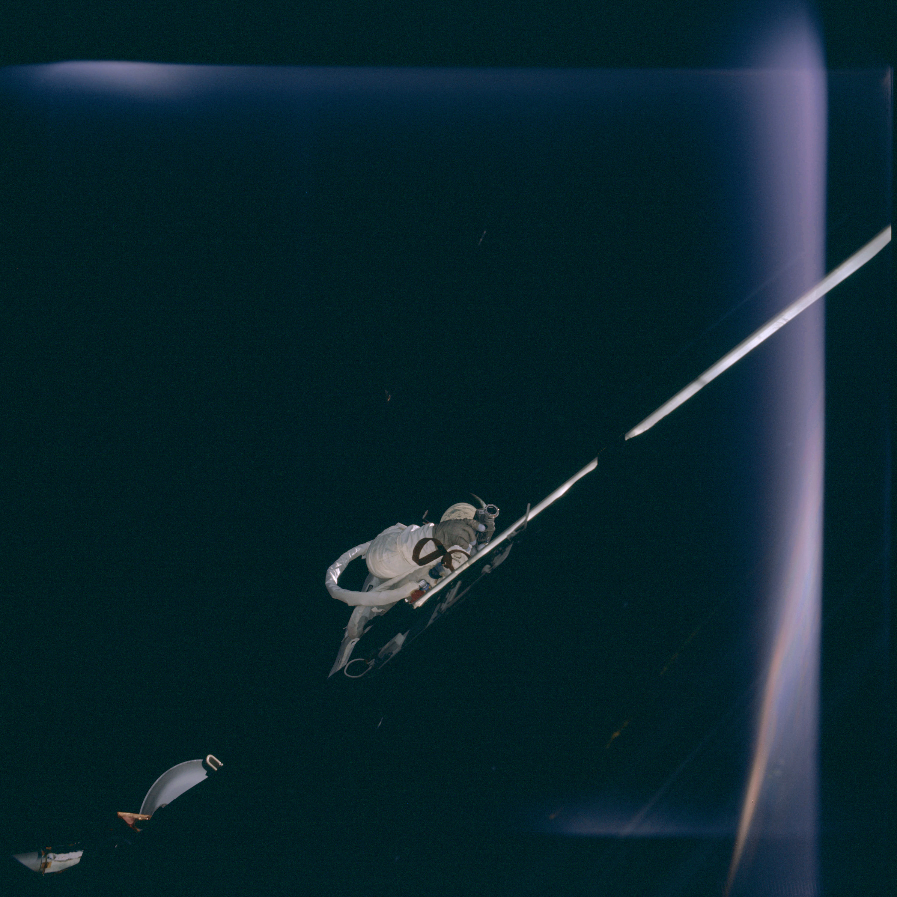 | AS09-20-3072 Space walk Image credit: Image Science and Analysis Laboratory, NASA-Johnson Space Center. |
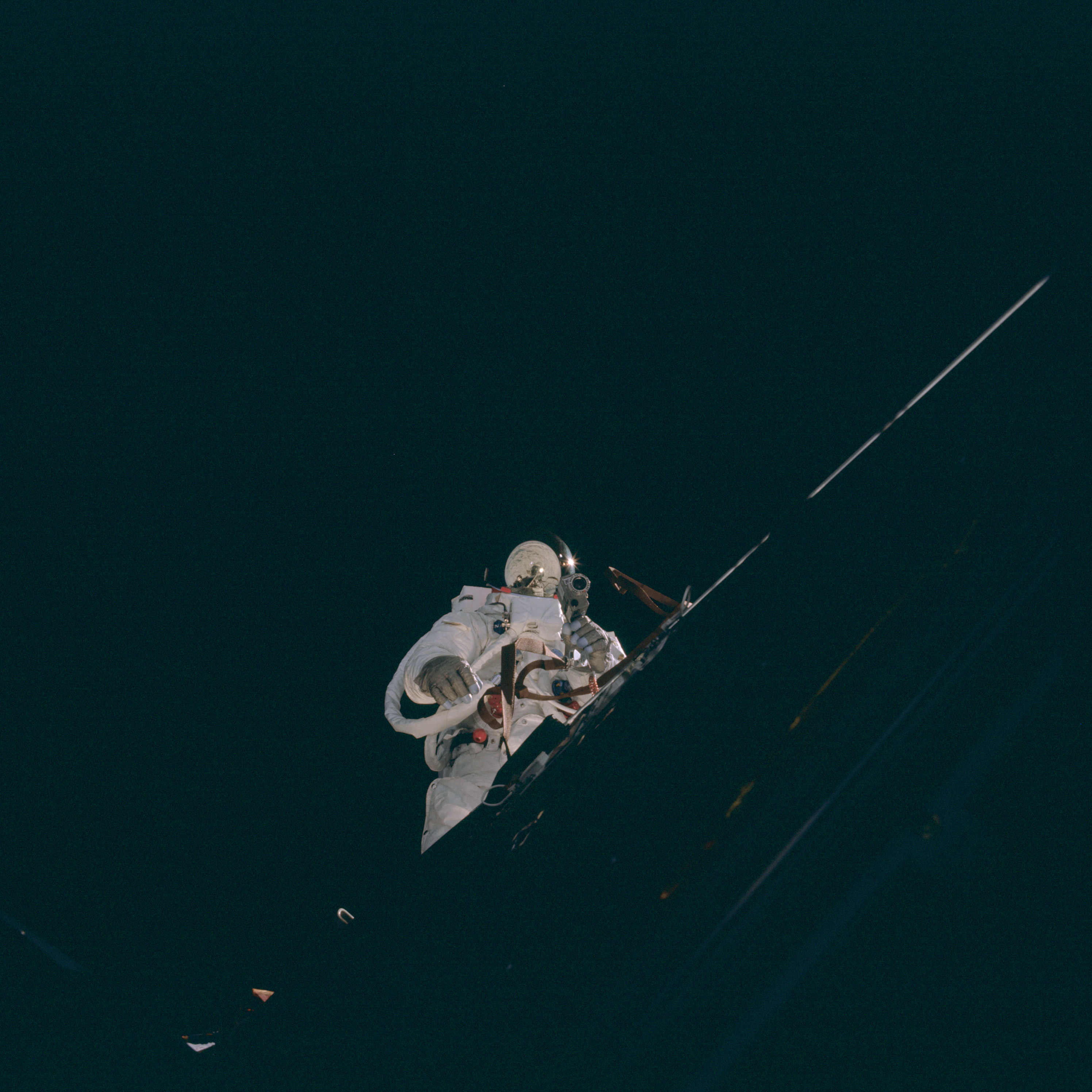 | AS09-20-3073 Space walk Image credit: Image Science and Analysis Laboratory, NASA-Johnson Space Center. |
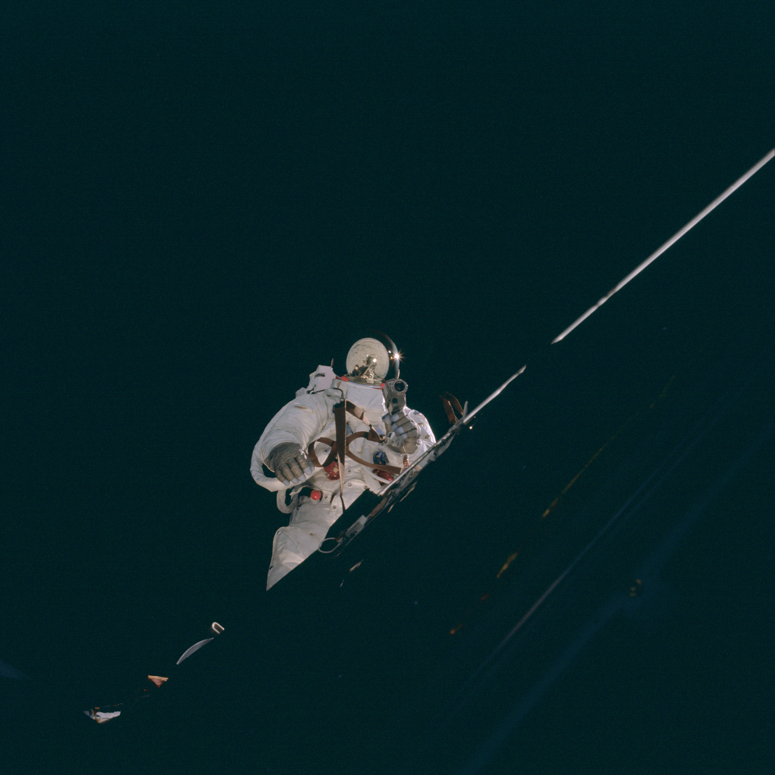 | AS09-20-3074 Space walk Image credit: Image Science and Analysis Laboratory, NASA-Johnson Space Center. |
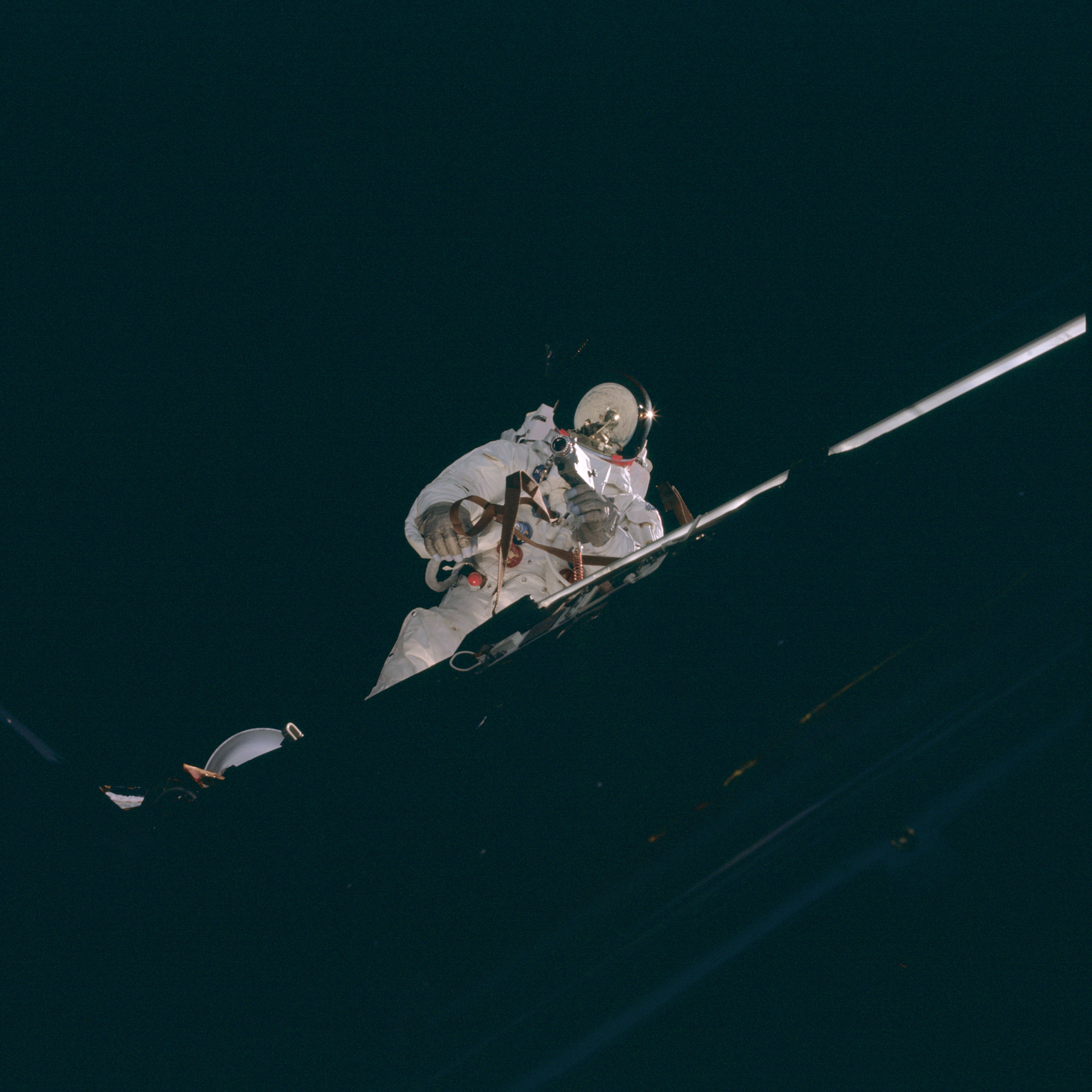 | AS09-20-3075 Space walk Image credit: Image Science and Analysis Laboratory, NASA-Johnson Space Center. |
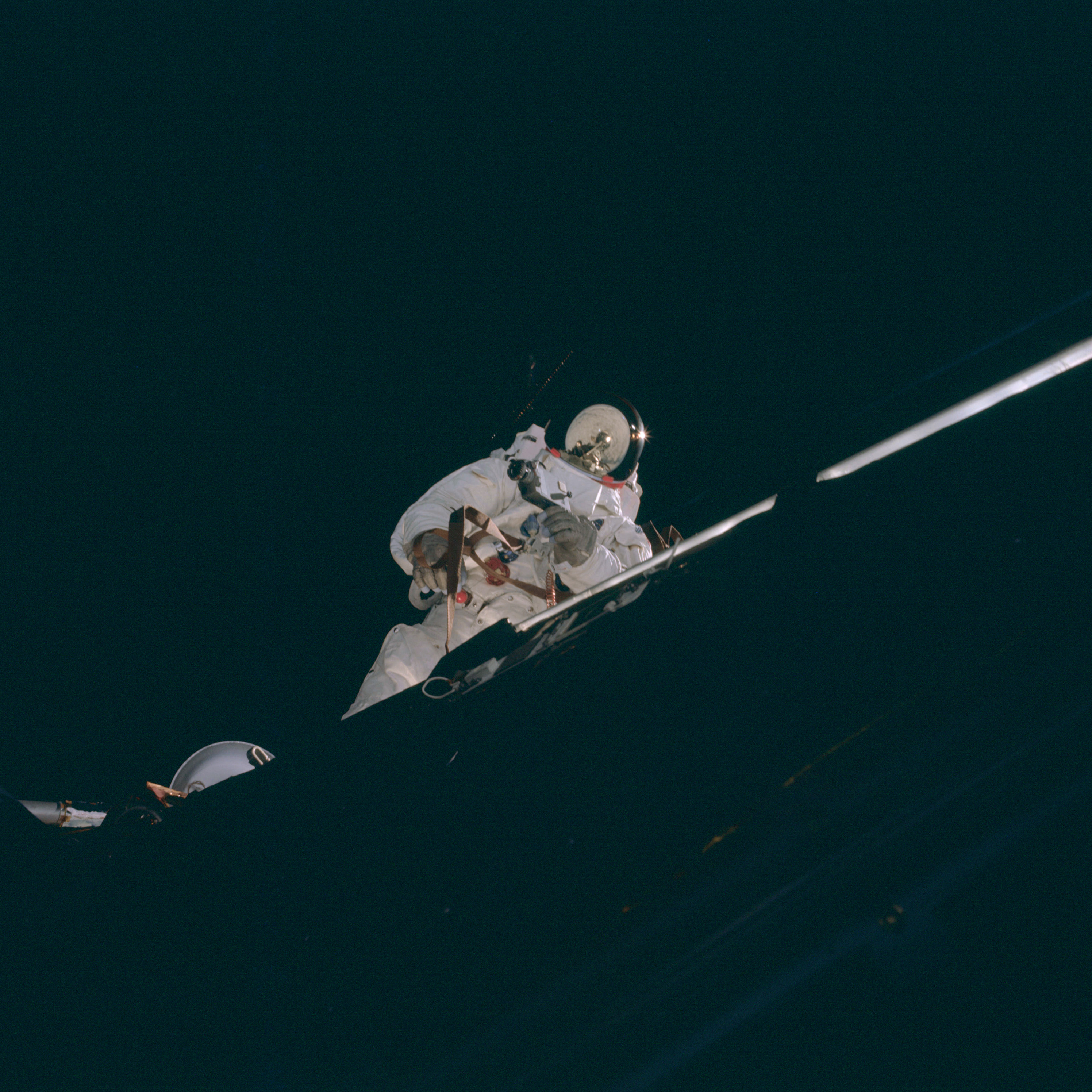 | AS09-20-3076 Space walk Image credit: Image Science and Analysis Laboratory, NASA-Johnson Space Center. |
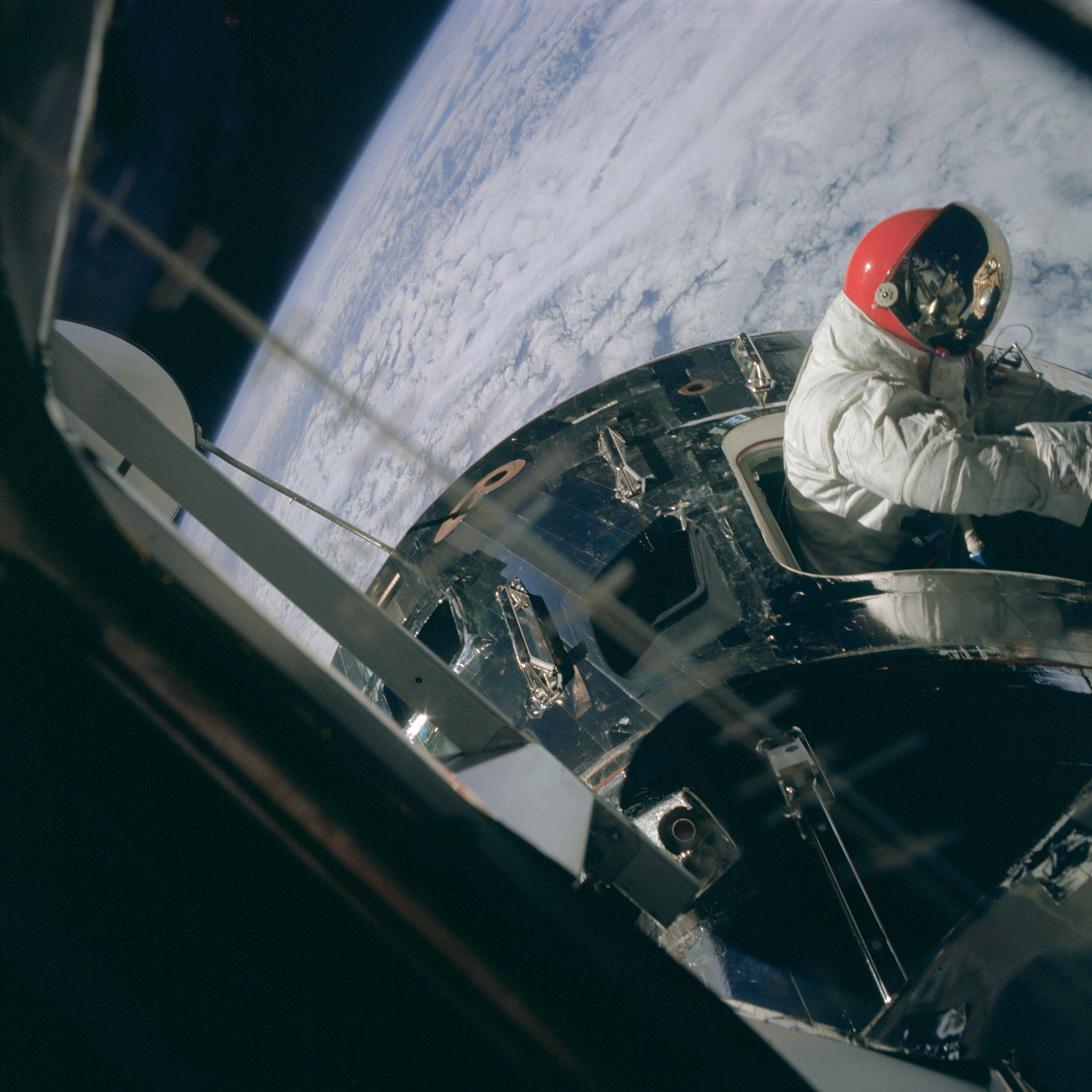 | AS09-20-3077 Space walk, Command Module Image credit: Image Science and Analysis Laboratory, NASA-Johnson Space Center. |
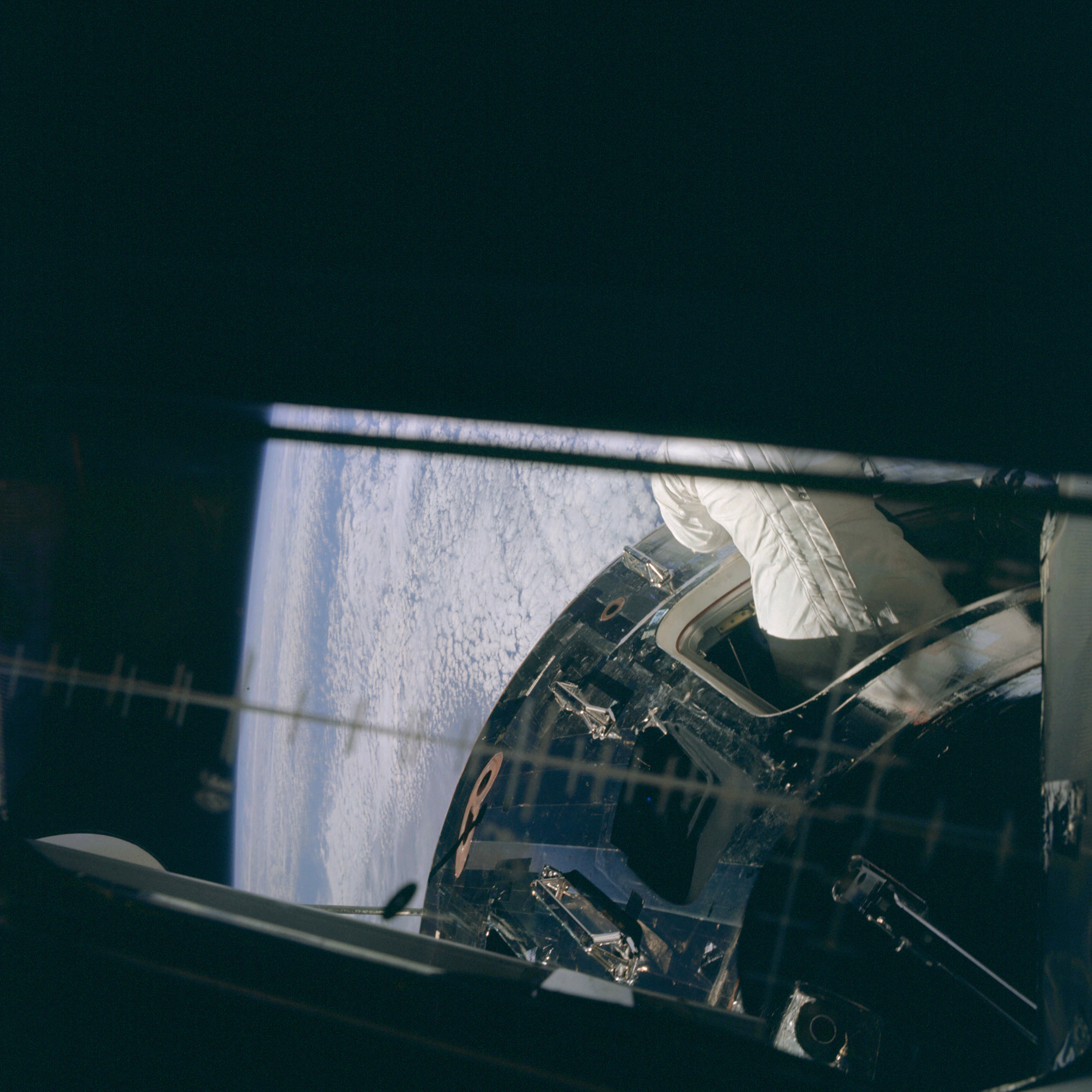 | AS09-20-3078 Space walk, Command Module Image credit: Image Science and Analysis Laboratory, NASA-Johnson Space Center. |
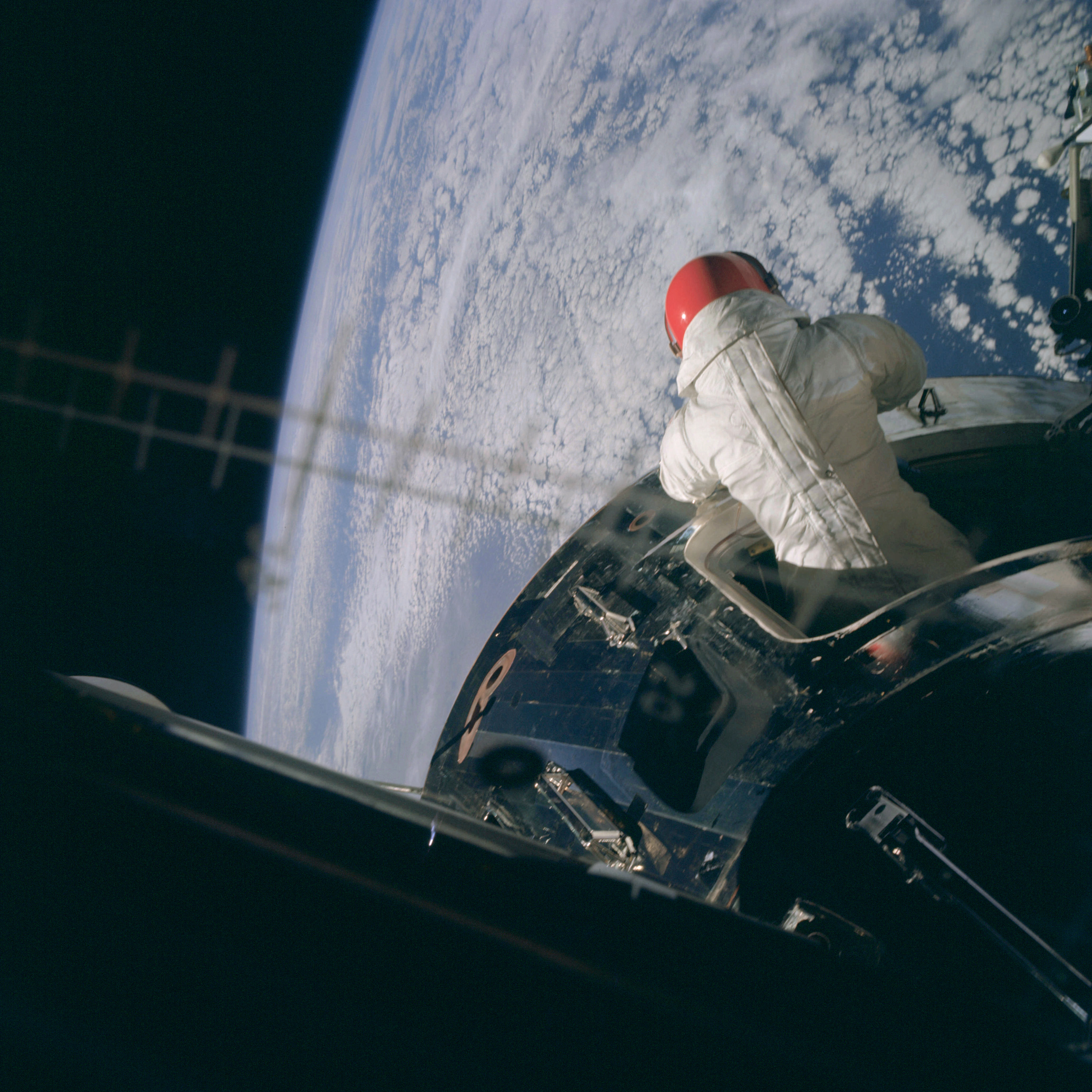 | AS09-20-3079 Space walk, Command Module Image credit: Image Science and Analysis Laboratory, NASA-Johnson Space Center. |
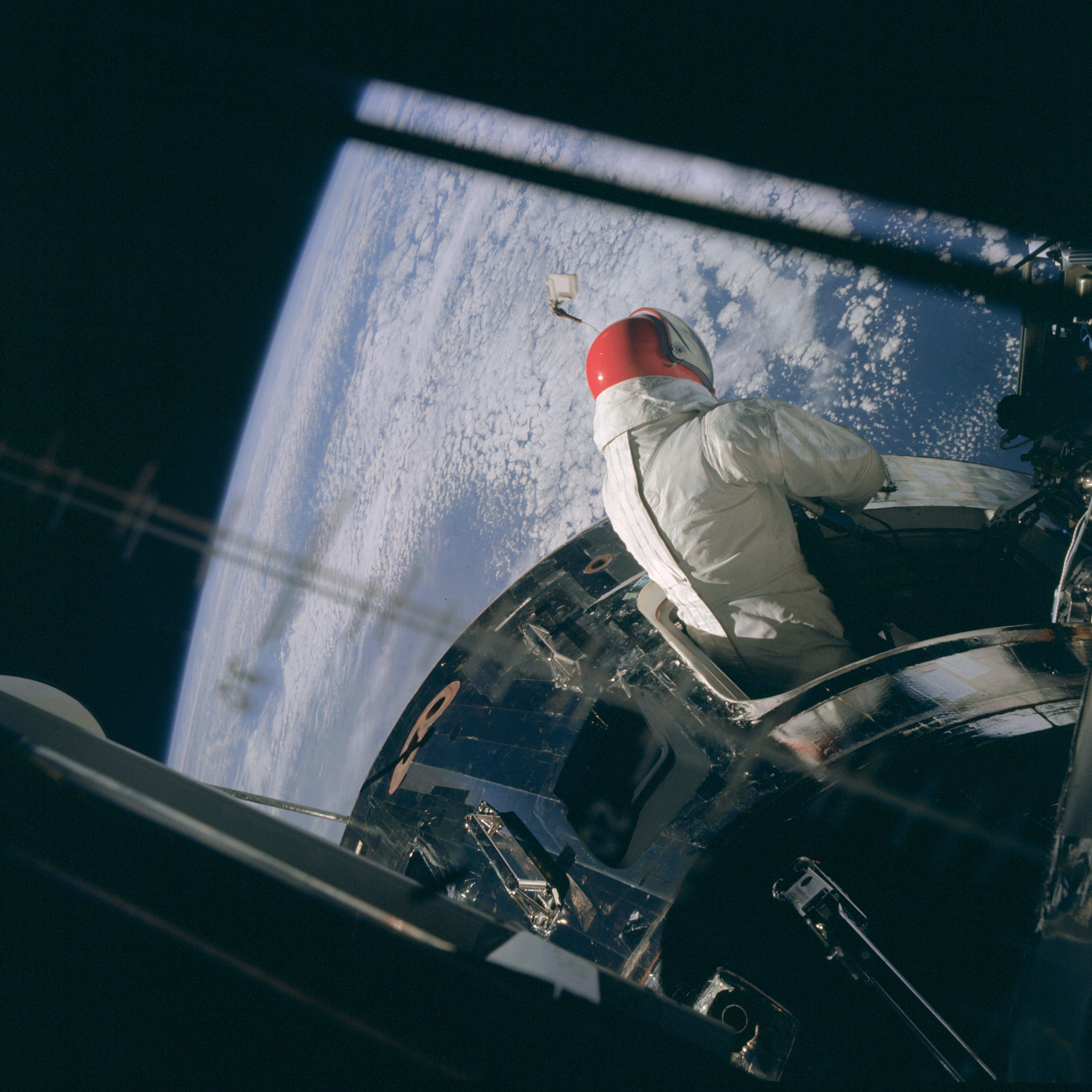 | AS09-20-3080 Space walk, Command Module Image credit: Image Science and Analysis Laboratory, NASA-Johnson Space Center. |
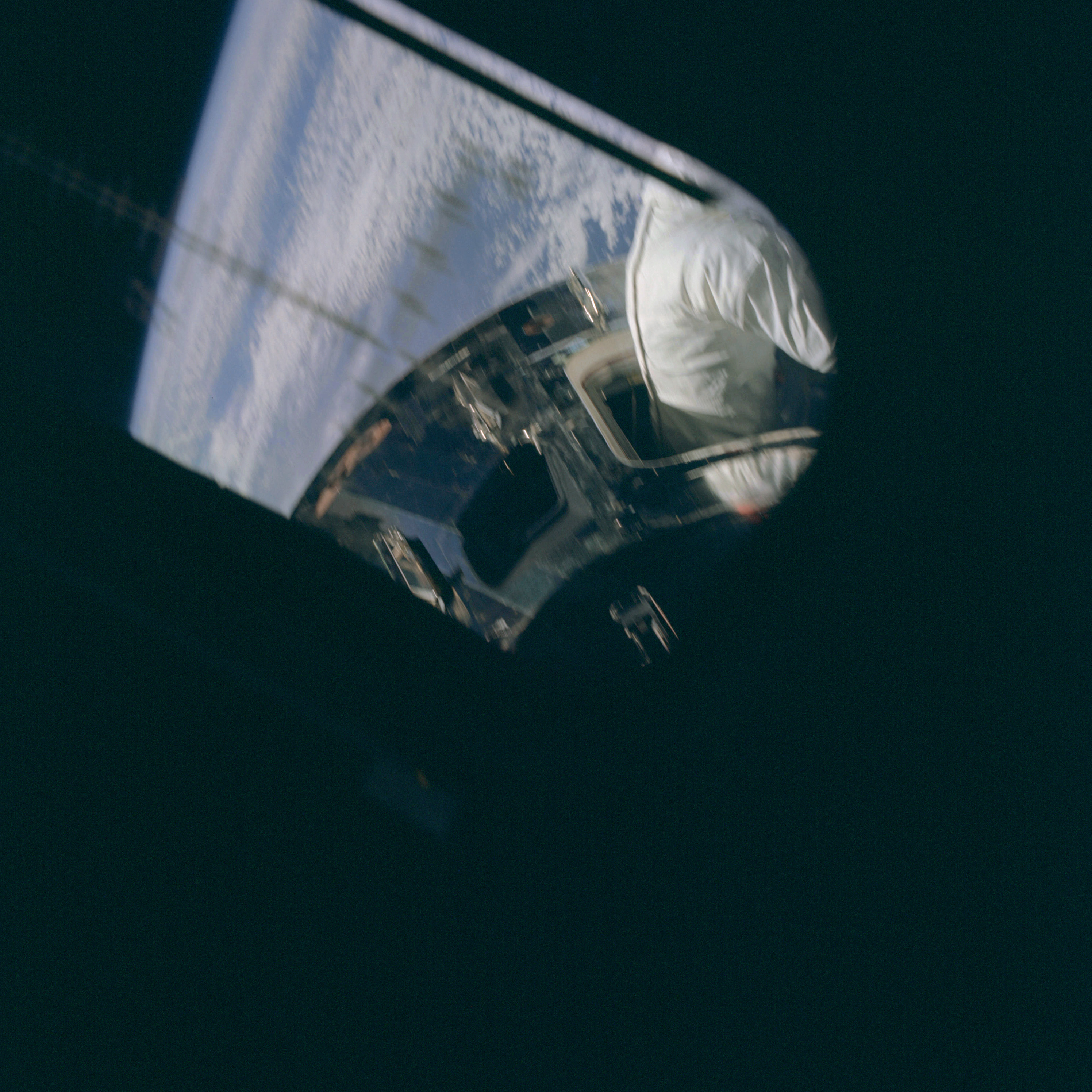 | AS09-20-3081 Space walk, Command Module Image credit: Image Science and Analysis Laboratory, NASA-Johnson Space Center. |
 | AS09-20-3082 Command Module window Image credit: Image Science and Analysis Laboratory, NASA-Johnson Space Center. |
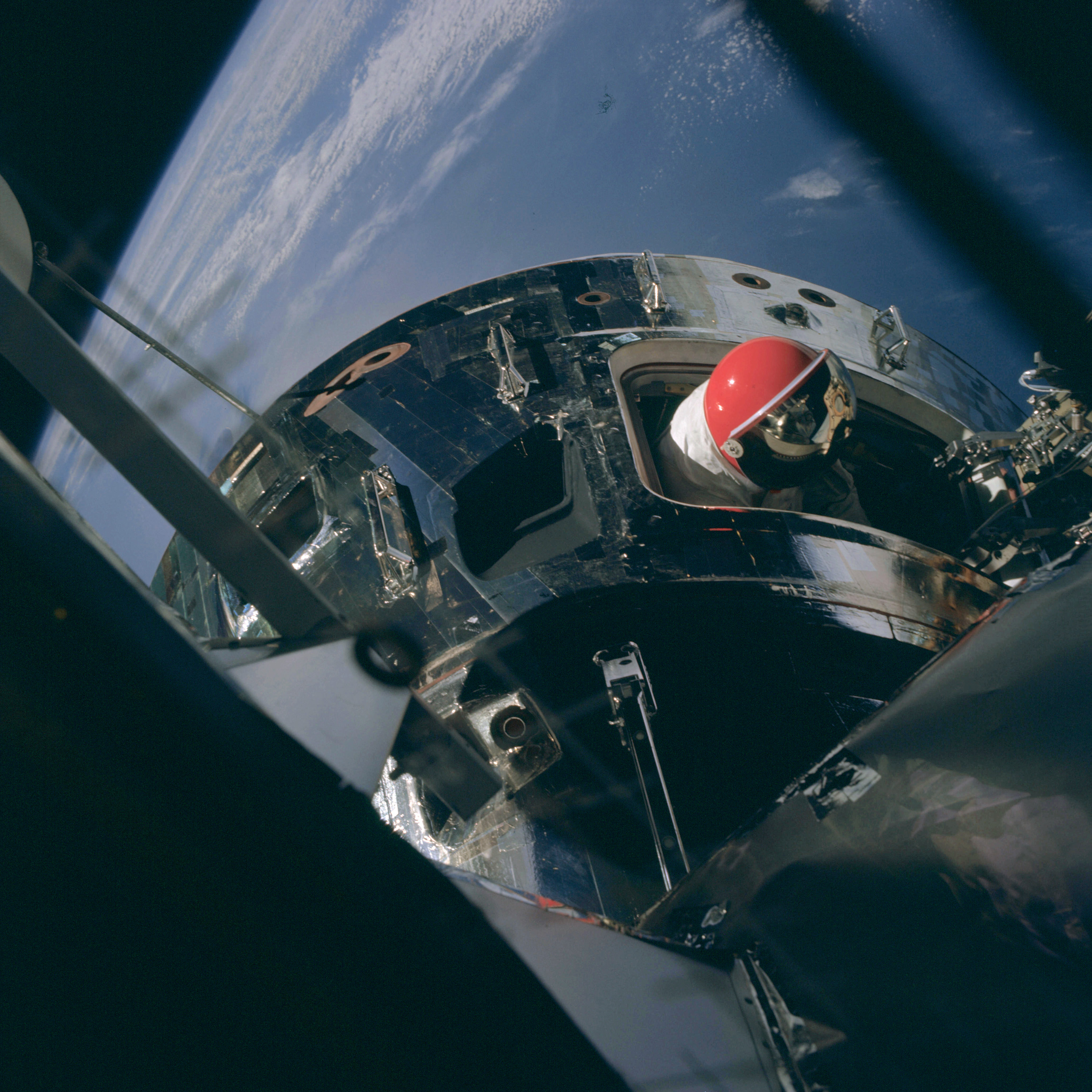 | AS09-20-3083 Command Module, space walk Image credit: Image Science and Analysis Laboratory, NASA-Johnson Space Center. |
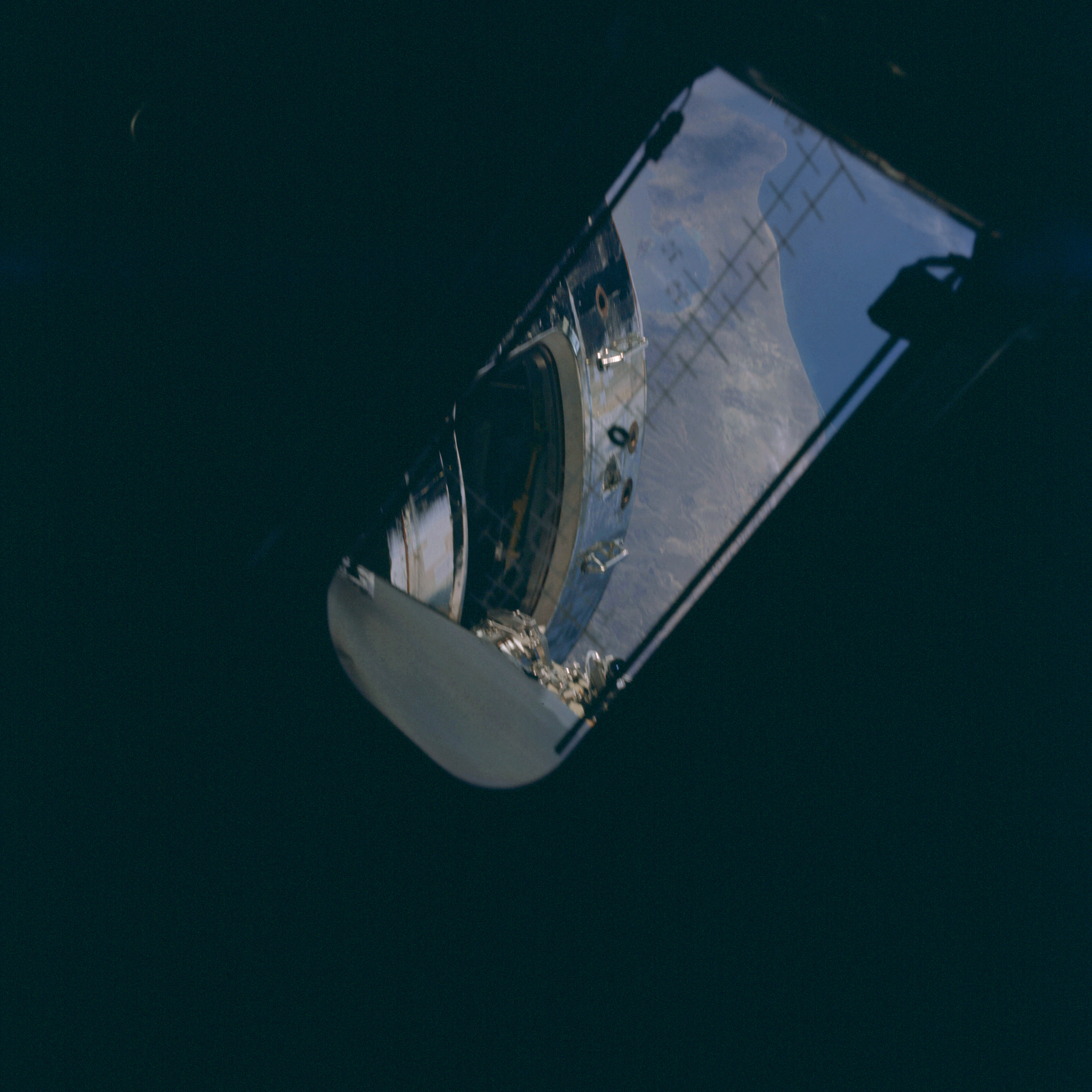 | AS09-20-3084 Command Module, space walk Image credit: Image Science and Analysis Laboratory, NASA-Johnson Space Center. |
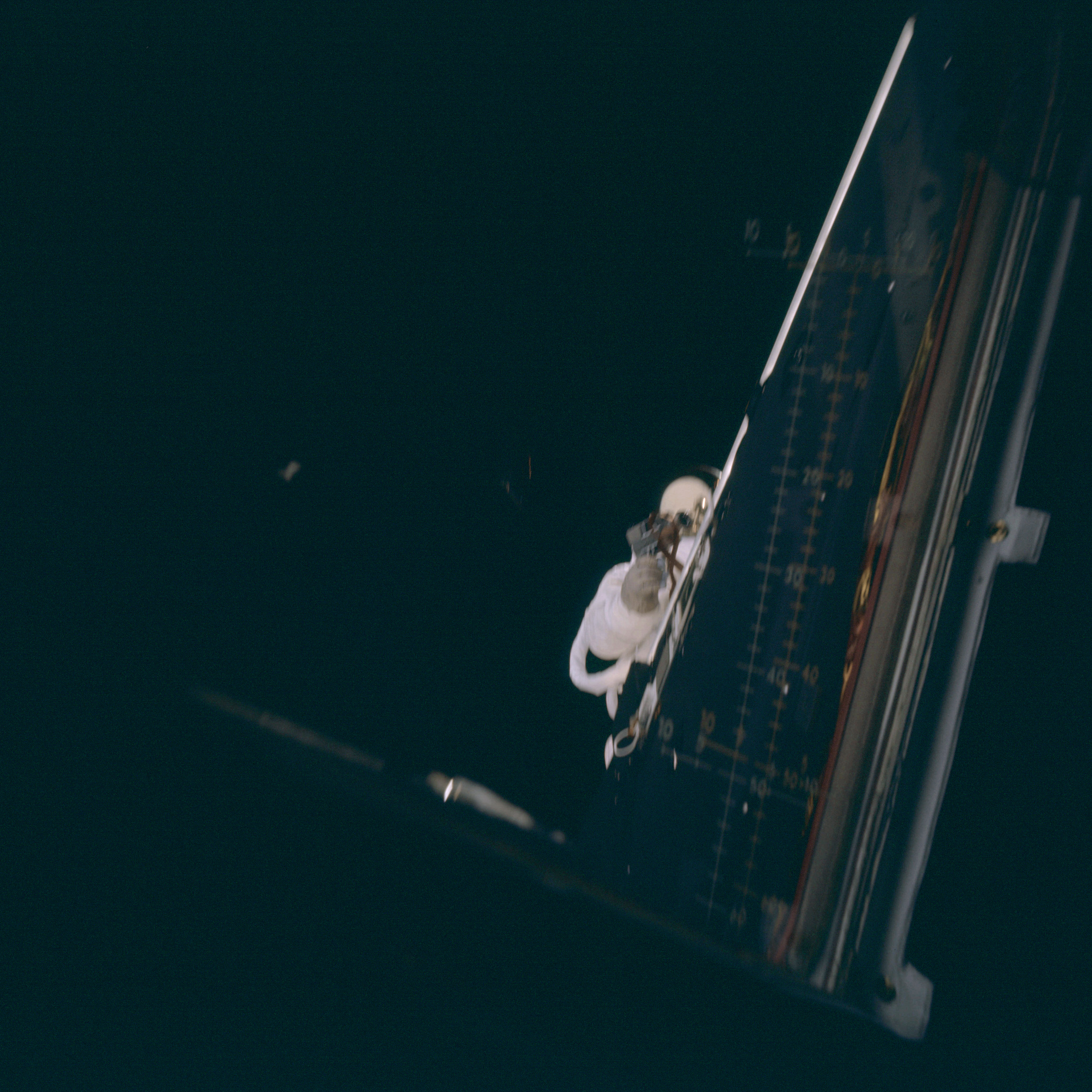 | AS09-20-3085 Lunar Module, space walk Image credit: Image Science and Analysis Laboratory, NASA-Johnson Space Center. |
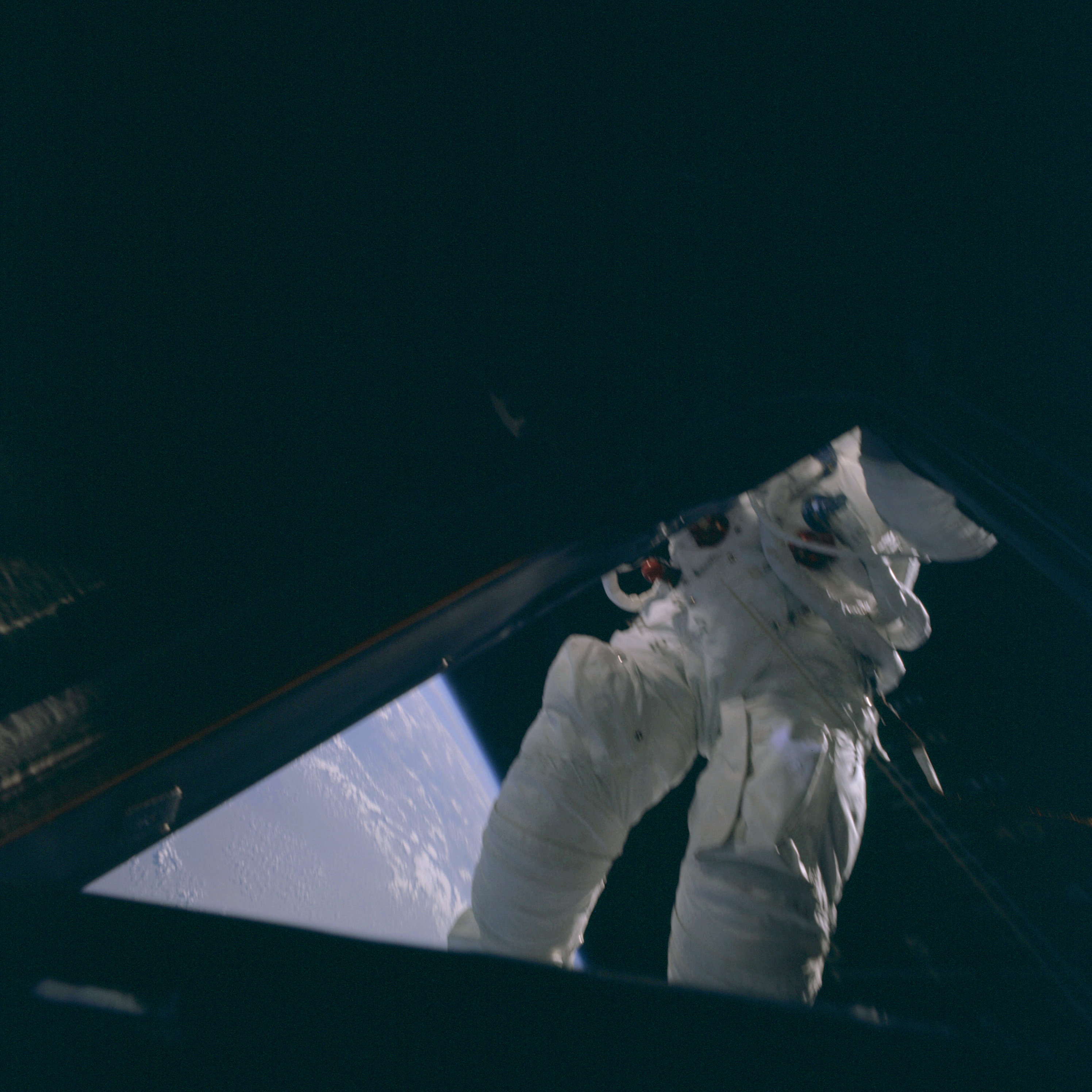 | AS09-20-3086 Lunar Module, space walk Image credit: Image Science and Analysis Laboratory, NASA-Johnson Space Center. |
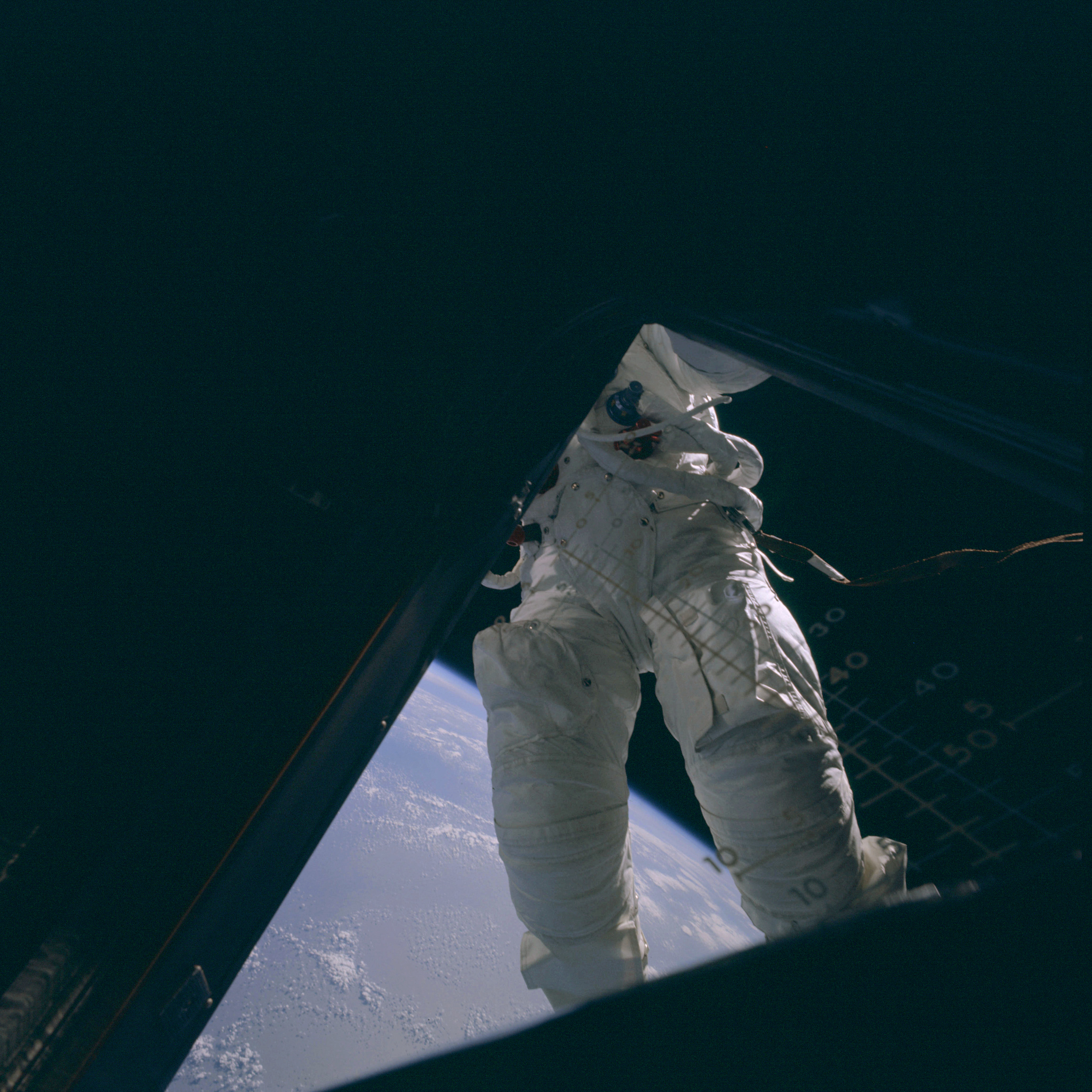 | AS09-20-3087 Lunar Module, space walk Image credit: Image Science and Analysis Laboratory, NASA-Johnson Space Center. |
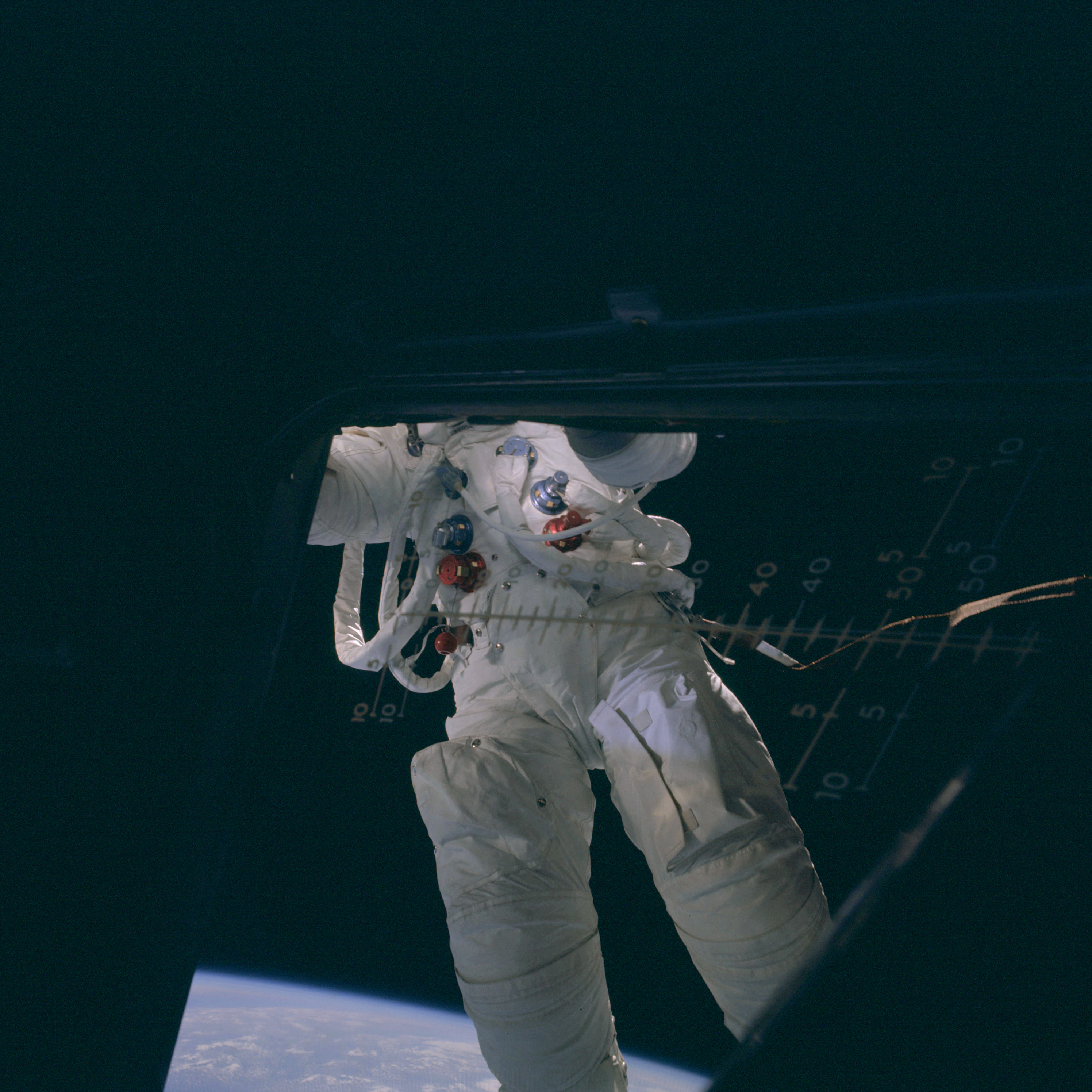 | AS09-20-3088 Lunar Module, space walk Image credit: Image Science and Analysis Laboratory, NASA-Johnson Space Center. |
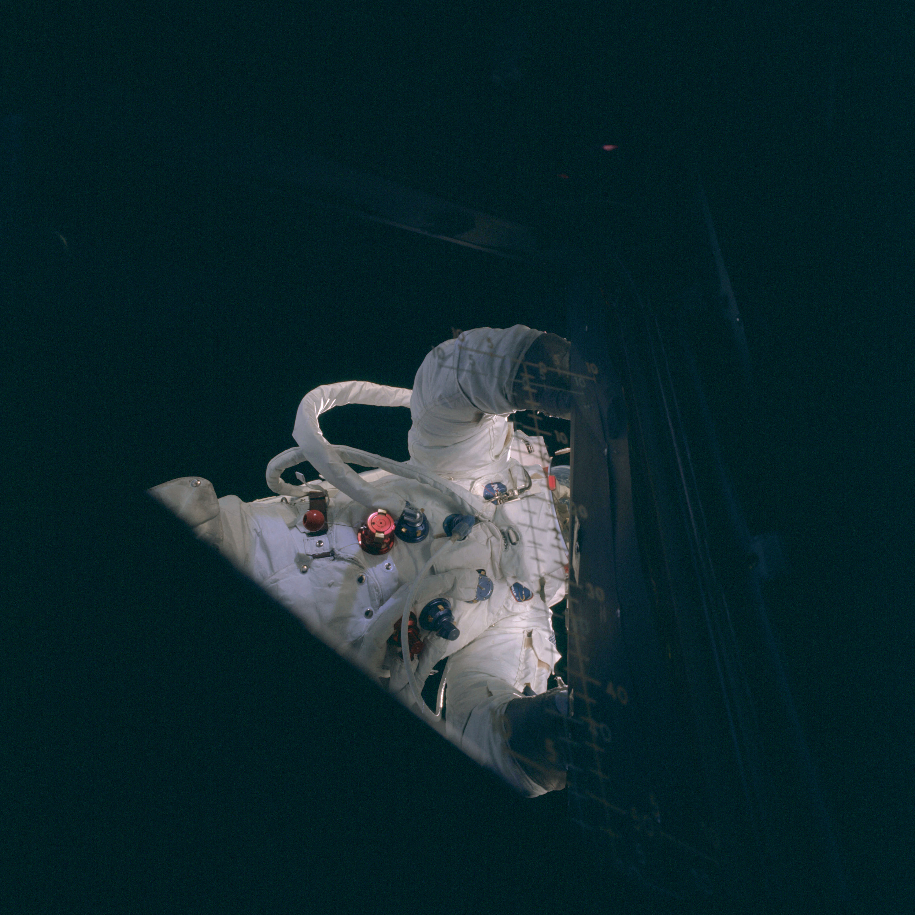 | AS09-20-3089 Lunar Module, space walk Image credit: Image Science and Analysis Laboratory, NASA-Johnson Space Center. |
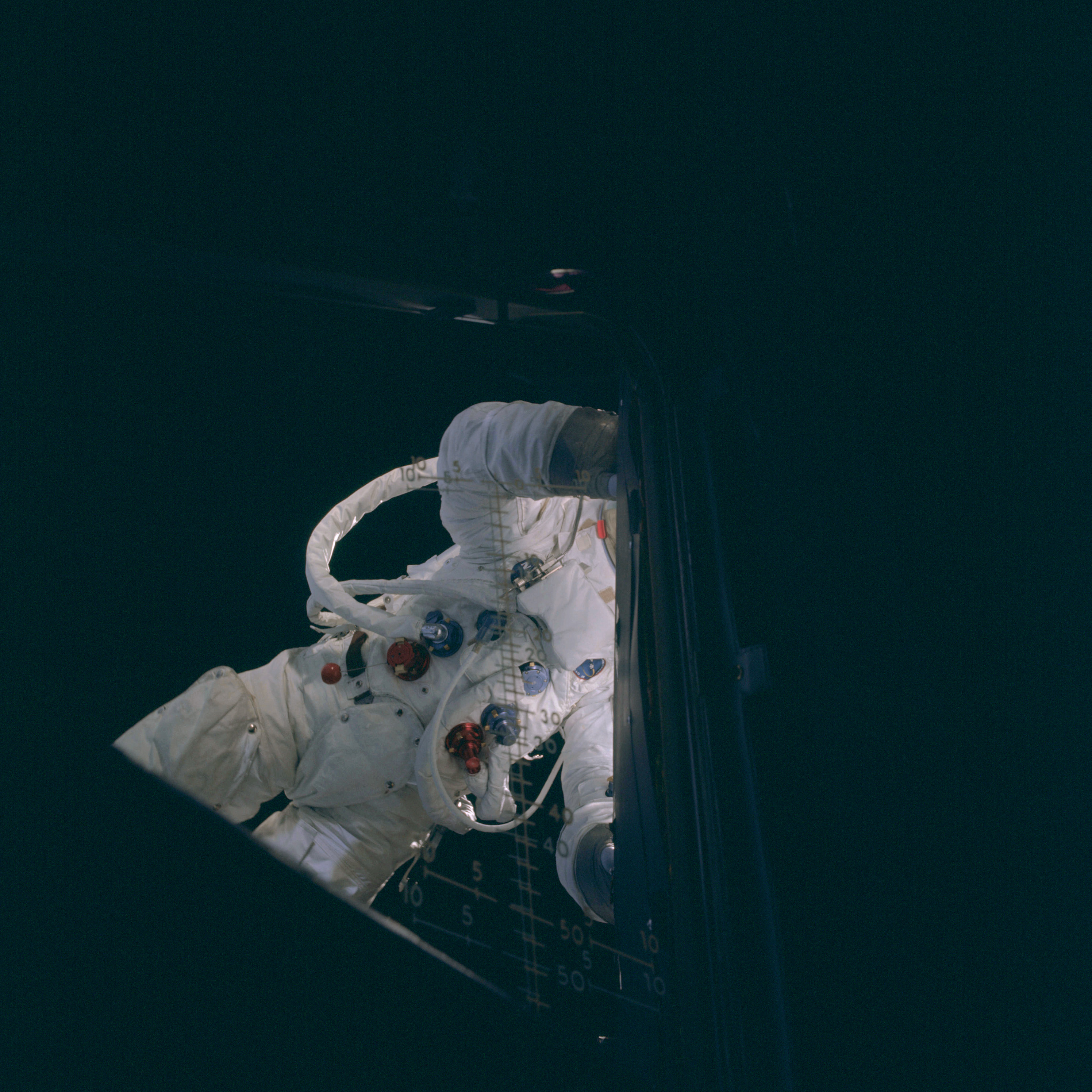 | AS09-20-3090 Lunar Module, space walk Image credit: Image Science and Analysis Laboratory, NASA-Johnson Space Center. |
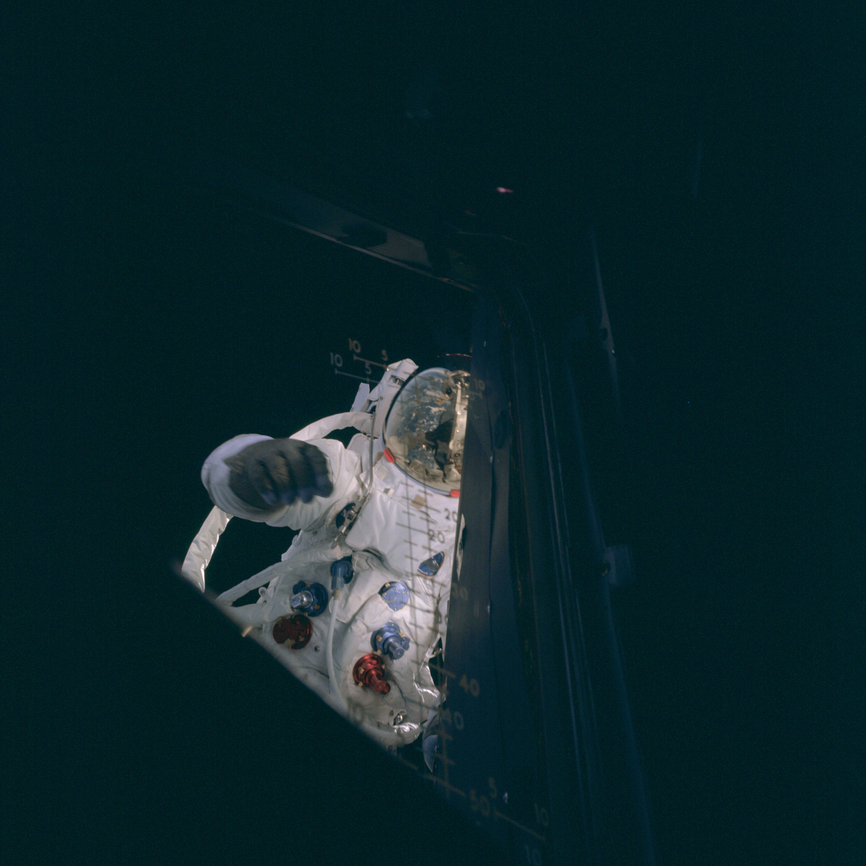 | AS09-20-3091 Lunar Module, space walk Image credit: Image Science and Analysis Laboratory, NASA-Johnson Space Center. |
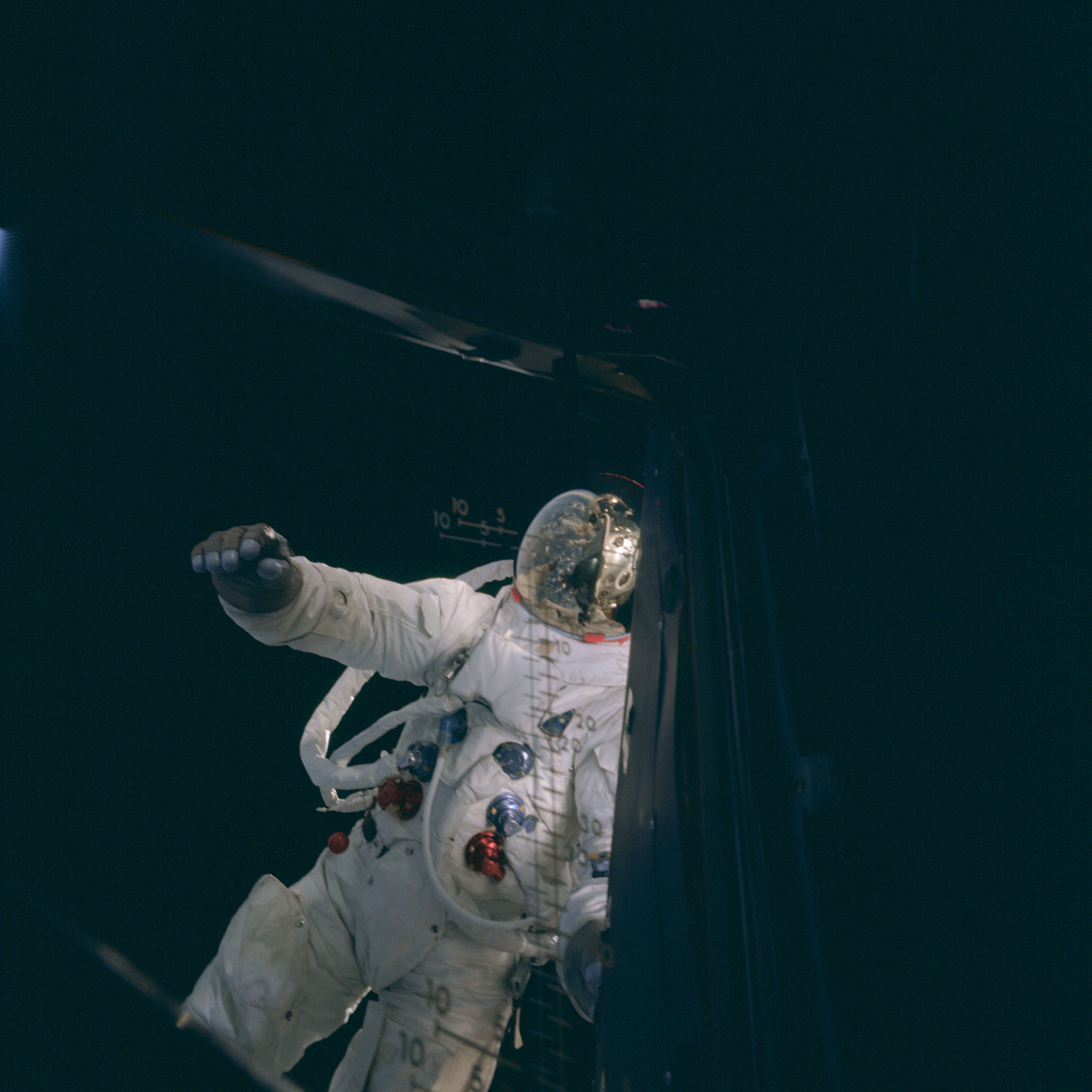 | AS09-20-3092 Lunar Module, space walk Image credit: Image Science and Analysis Laboratory, NASA-Johnson Space Center. |
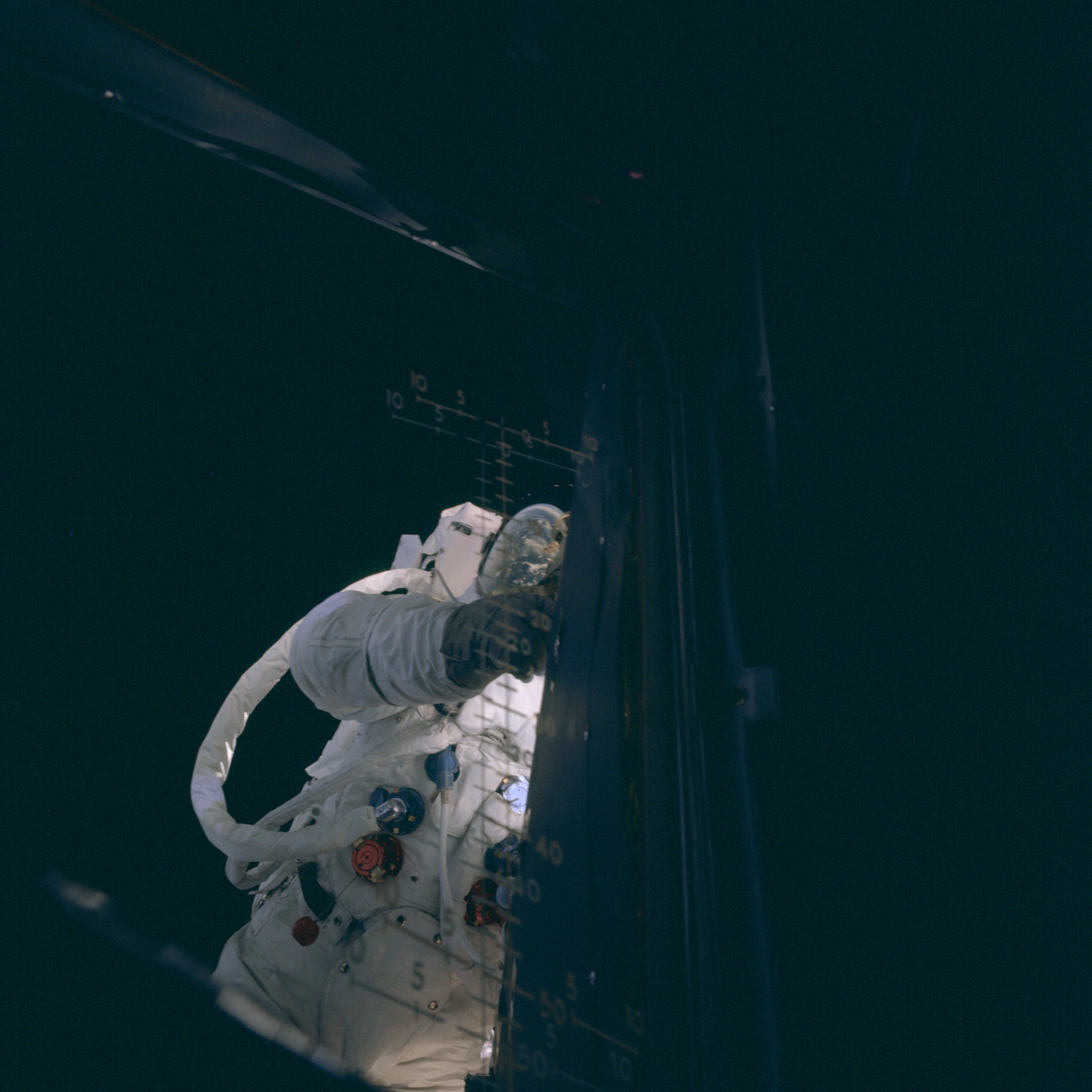 | AS09-20-3093 Lunar Module, space walk Image credit: Image Science and Analysis Laboratory, NASA-Johnson Space Center. |
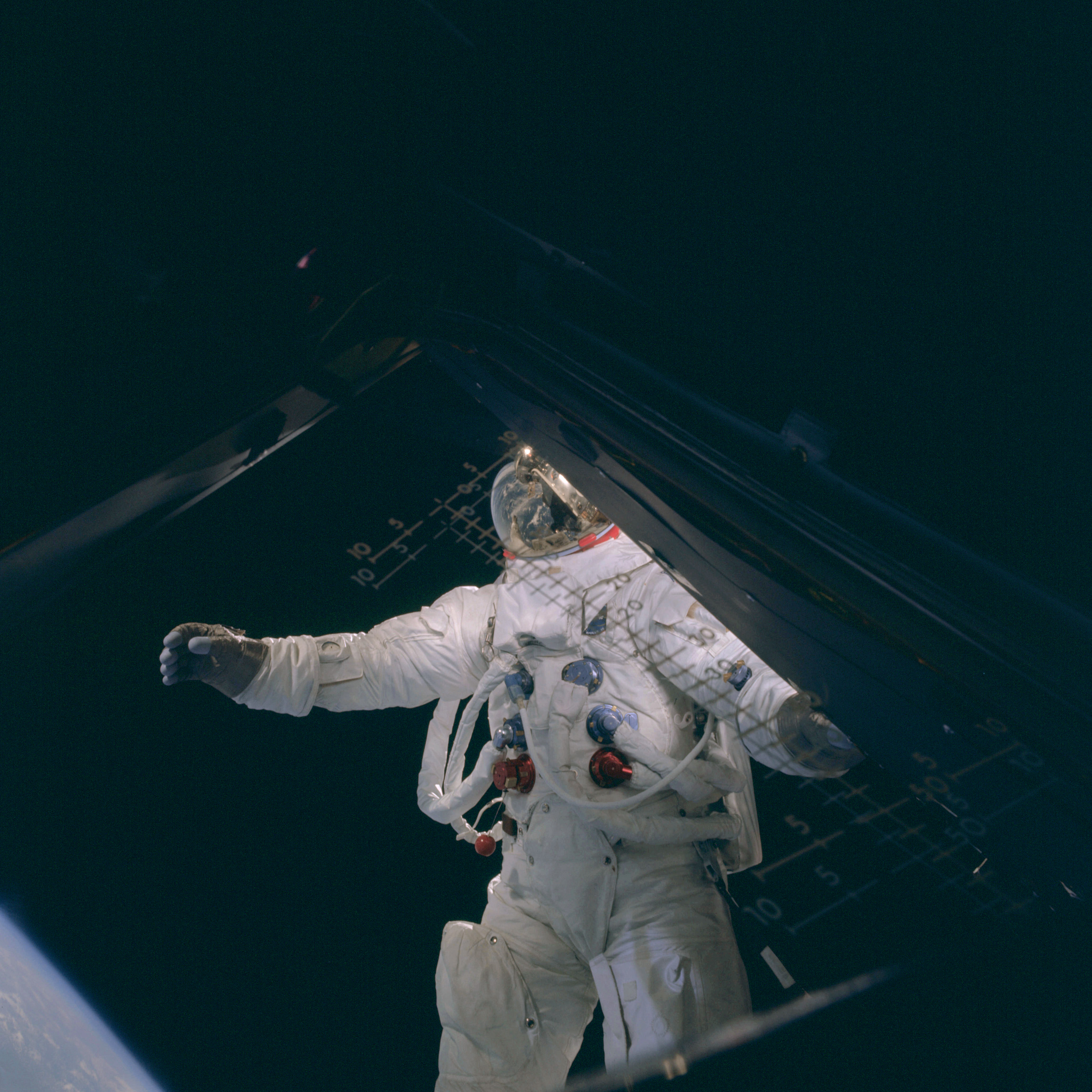 | AS09-20-3094 Lunar Module, space walk Image credit: Image Science and Analysis Laboratory, NASA-Johnson Space Center. |
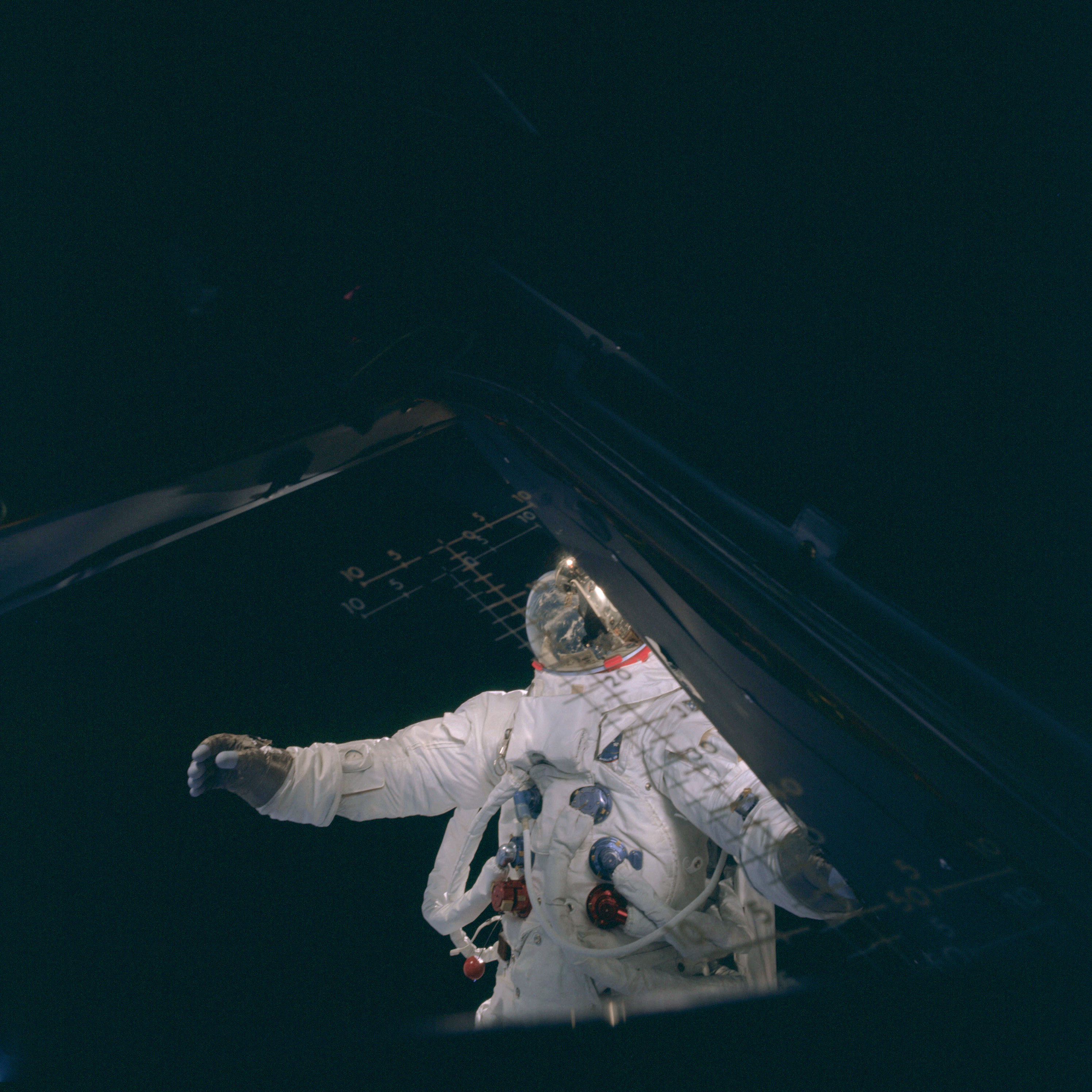 | AS09-20-3095 Lunar Module, space walk Image credit: Image Science and Analysis Laboratory, NASA-Johnson Space Center. |
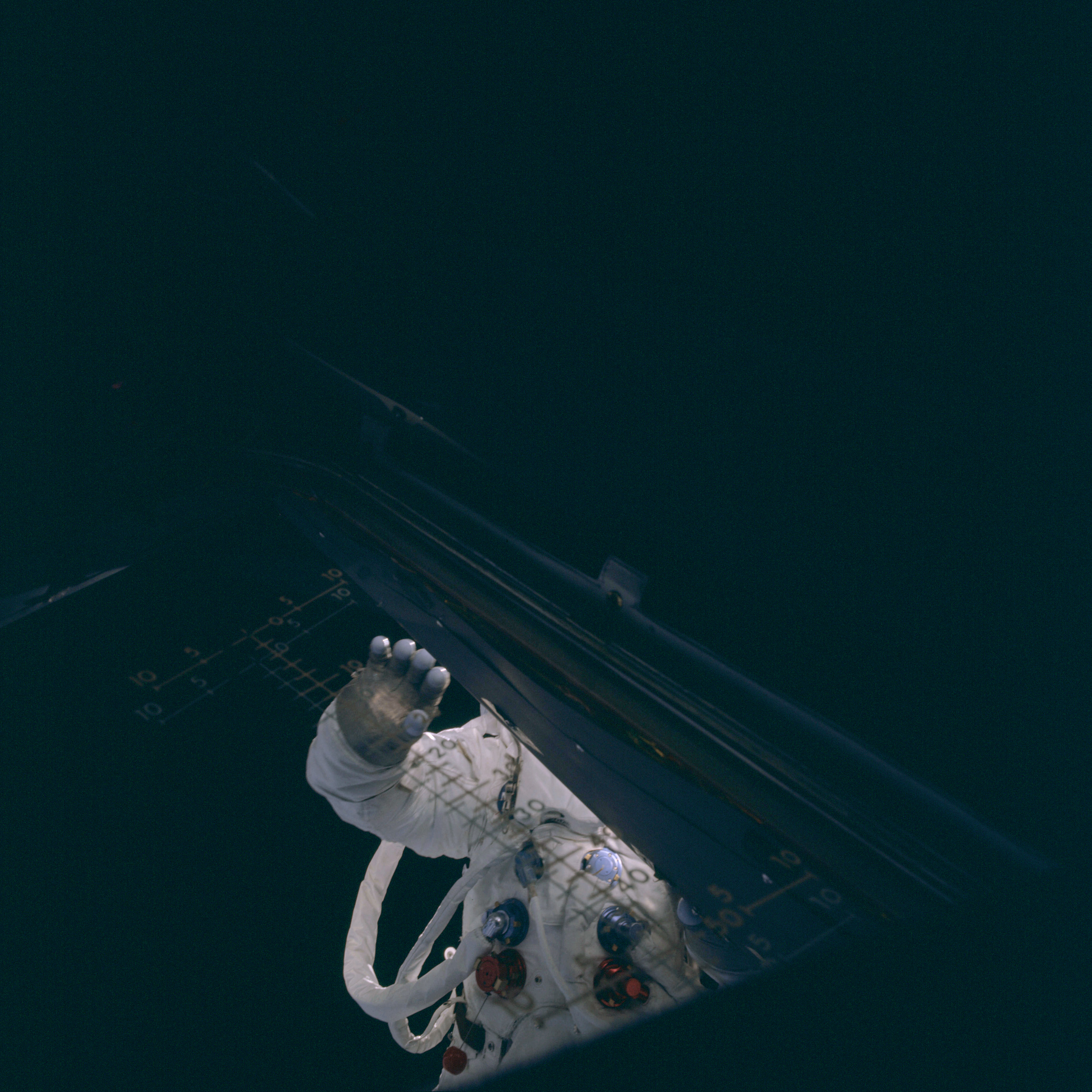 | AS09-20-3096 Lunar Module, space walk Image credit: Image Science and Analysis Laboratory, NASA-Johnson Space Center. |
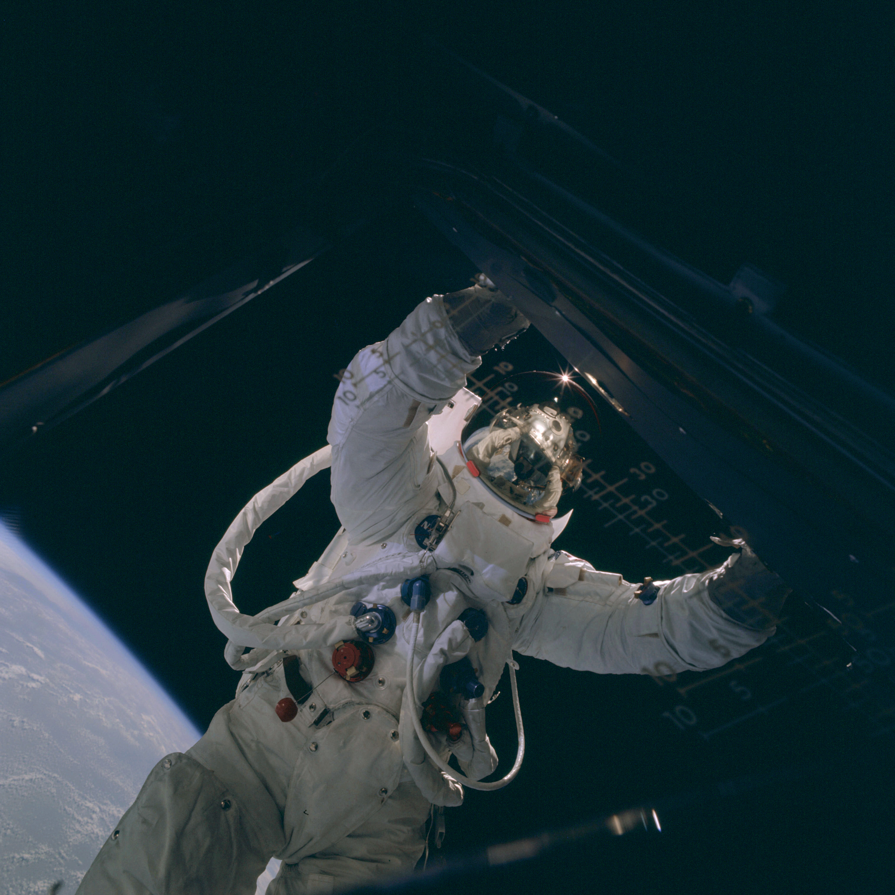 | AS09-20-3097 Lunar Module, space walk Image credit: Image Science and Analysis Laboratory, NASA-Johnson Space Center. |
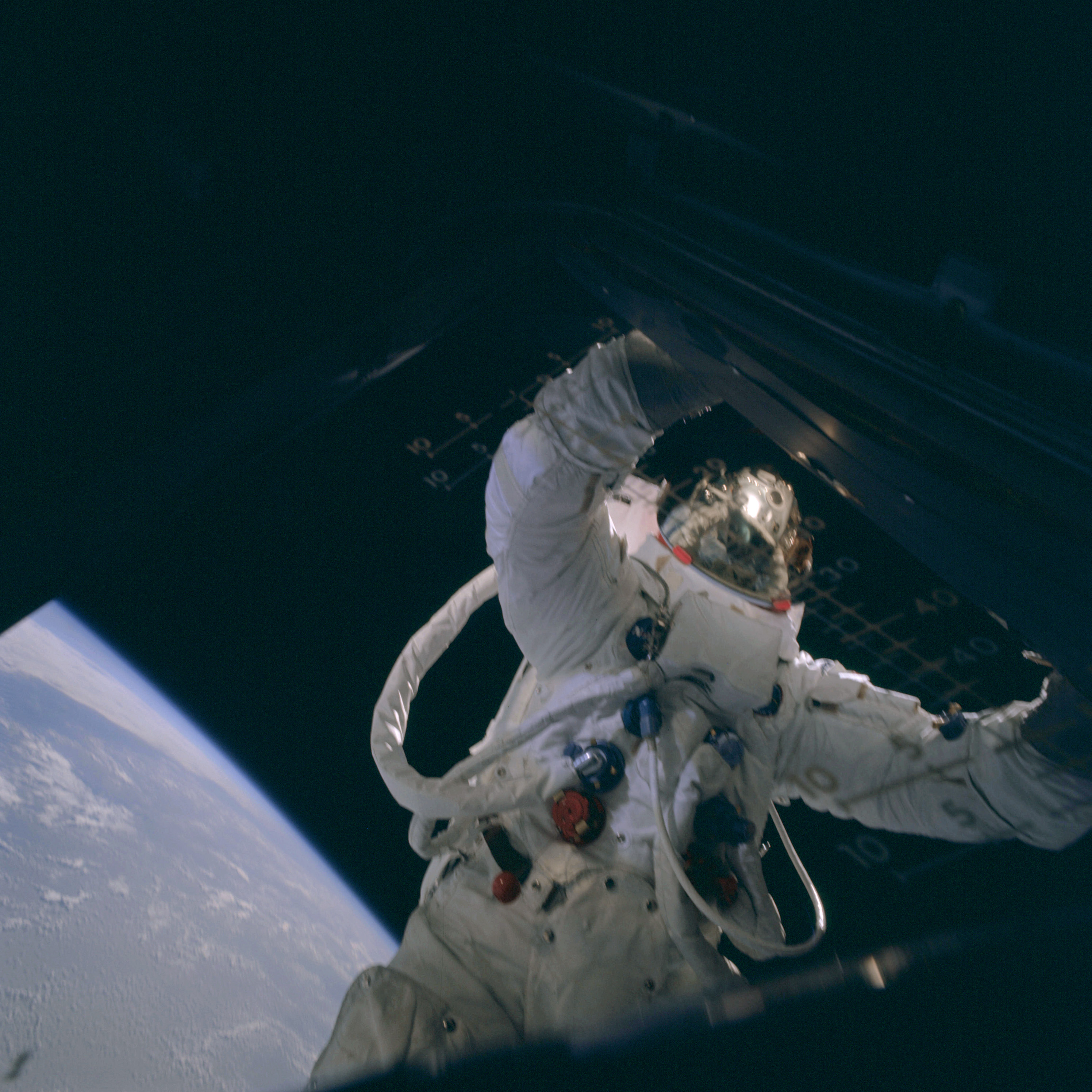 | AS09-20-3098 Lunar Module, space walk Image credit: Image Science and Analysis Laboratory, NASA-Johnson Space Center. |
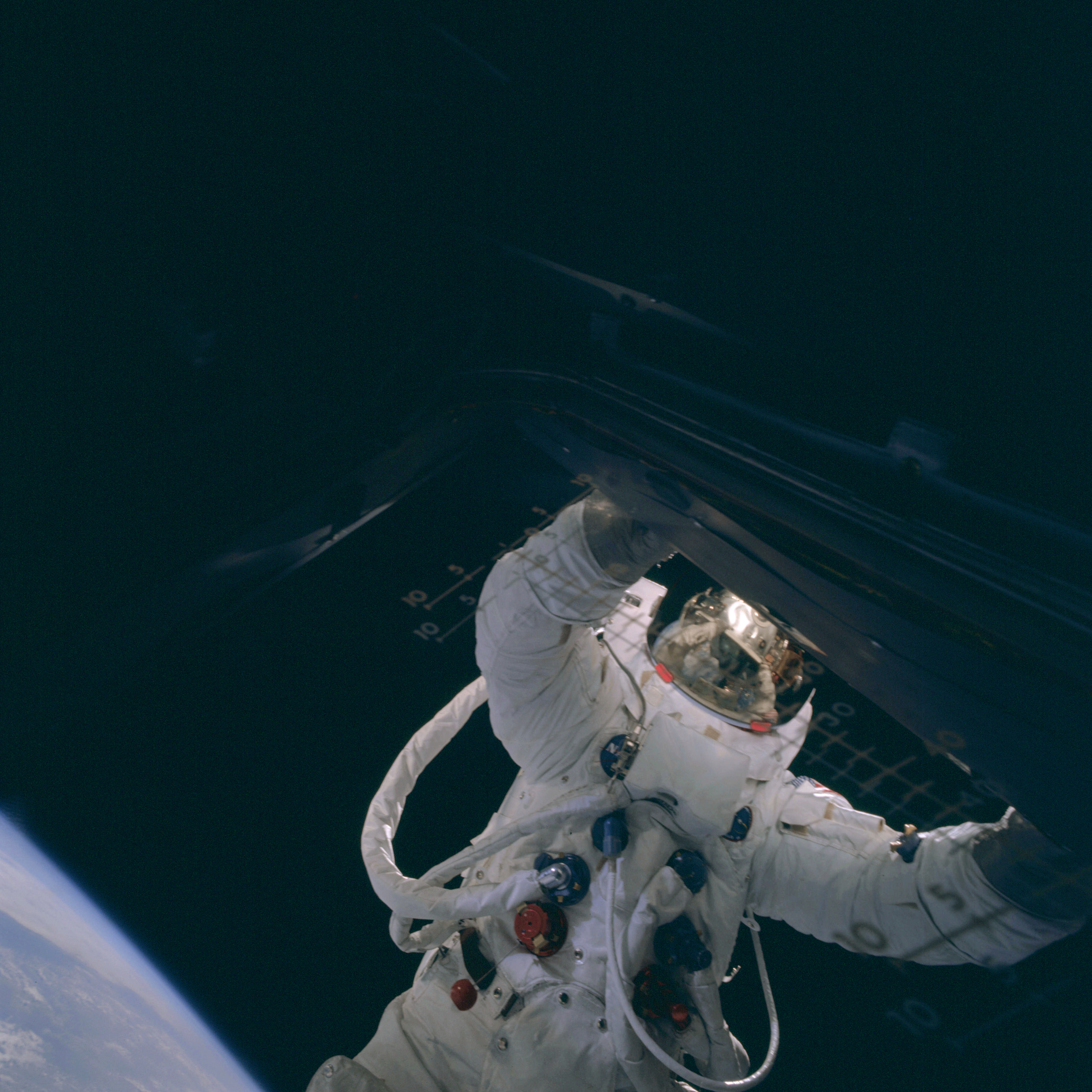 | AS09-20-3099 Lunar Module, space walk Image credit: Image Science and Analysis Laboratory, NASA-Johnson Space Center. |
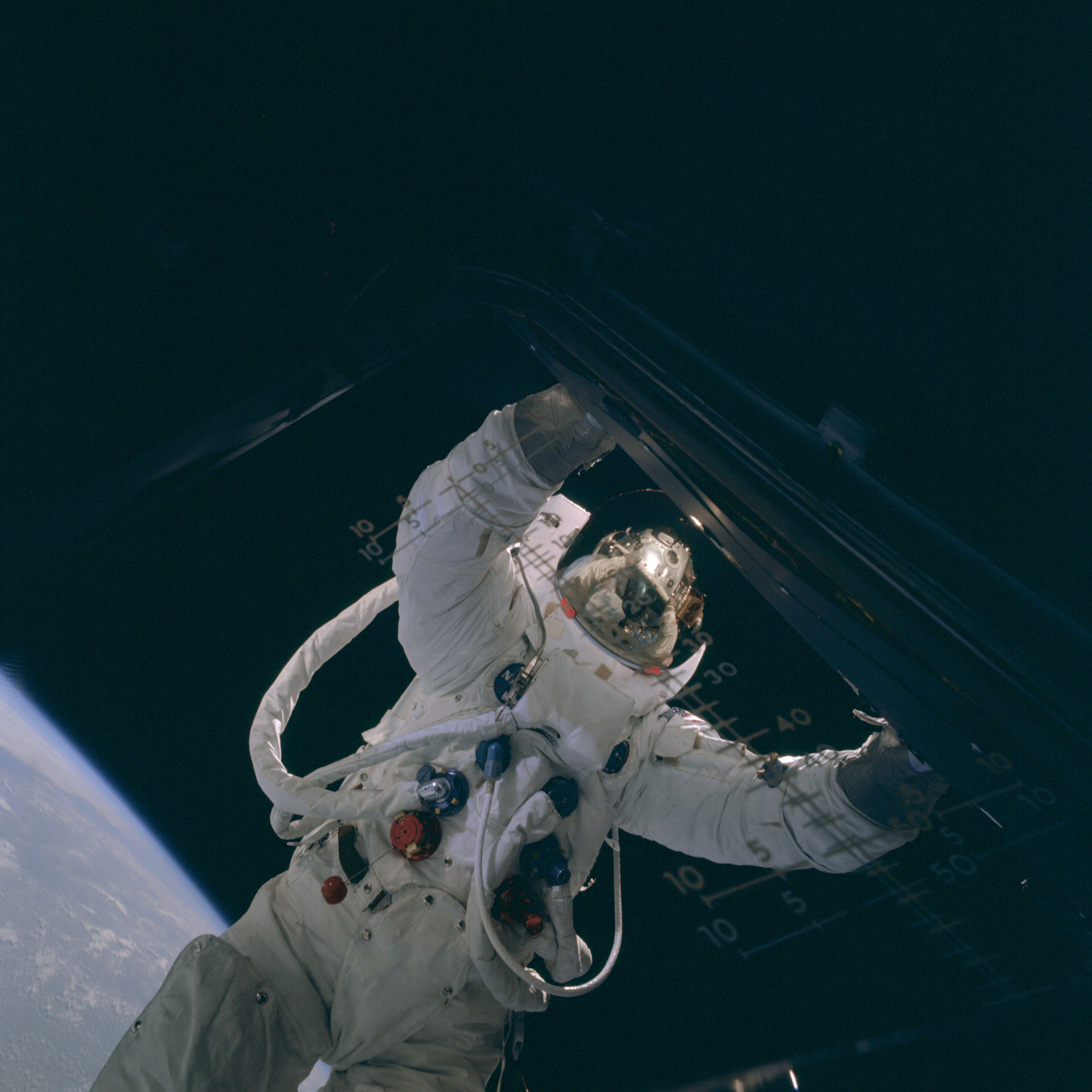 | AS09-20-3100 Lunar Module, space walk Image credit: Image Science and Analysis Laboratory, NASA-Johnson Space Center. |
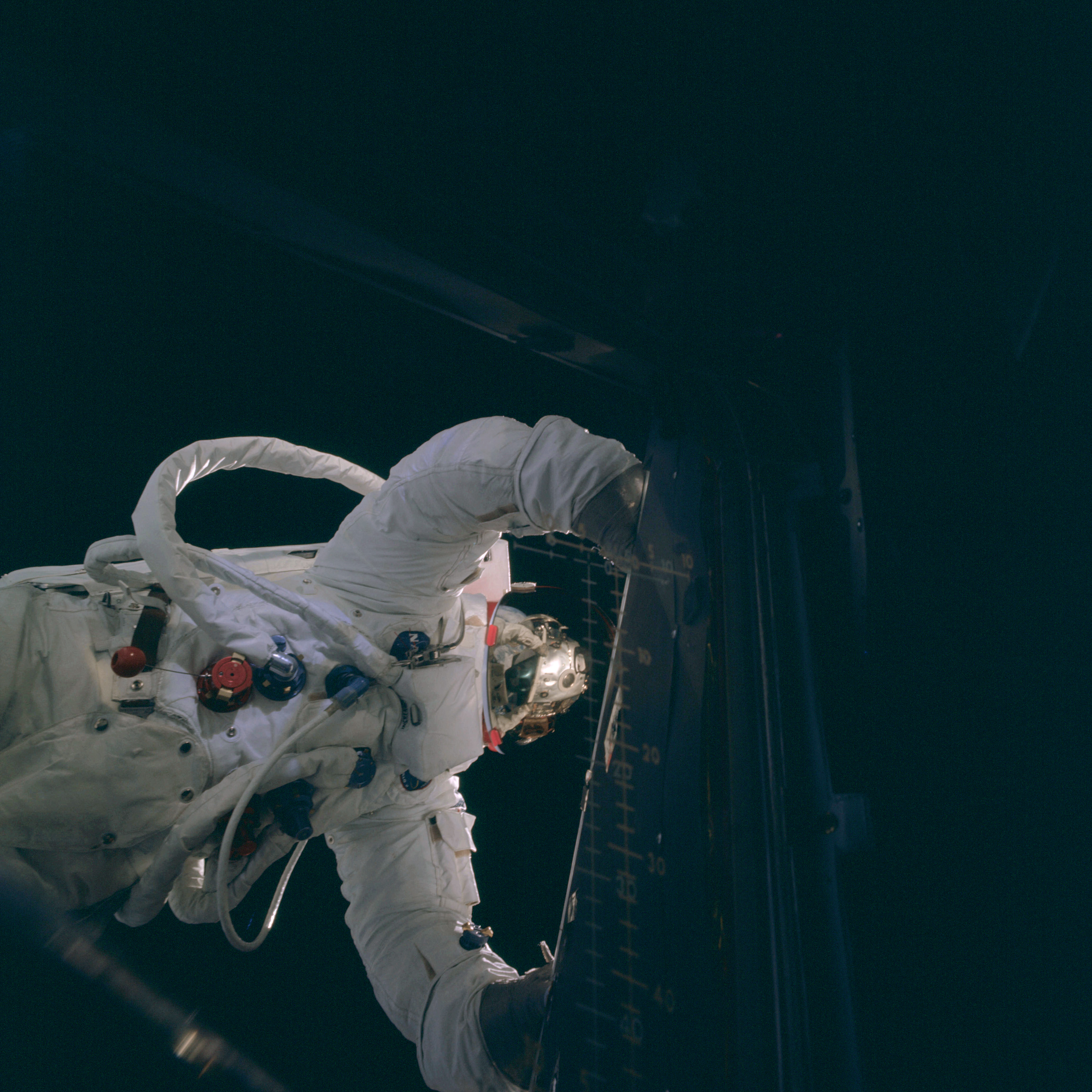 | AS09-20-3101 Lunar Module, space walk Image credit: Image Science and Analysis Laboratory, NASA-Johnson Space Center. |
 | AS09-20-3102 Spacecraft interior Image credit: Image Science and Analysis Laboratory, NASA-Johnson Space Center. |
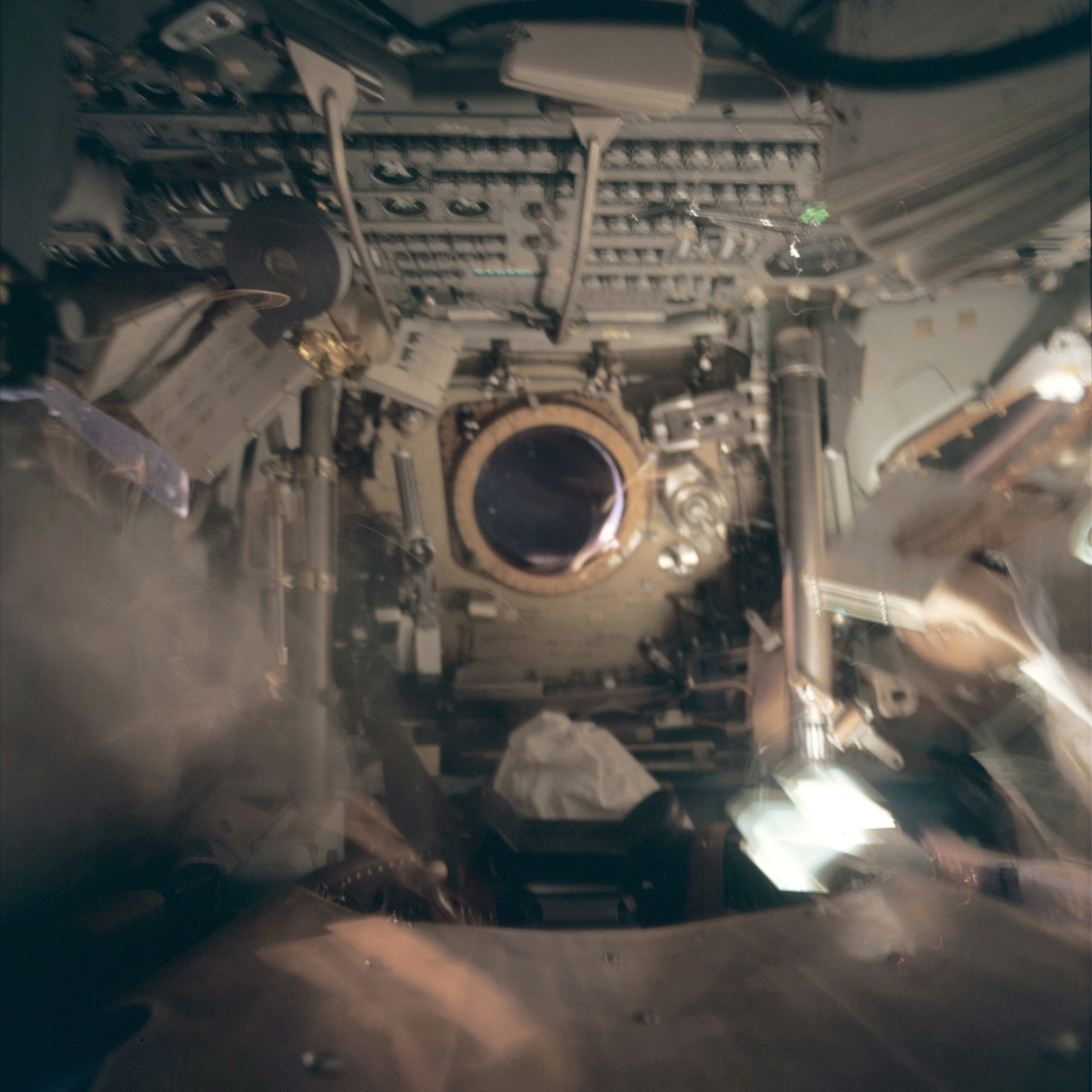 | AS09-20-3103 Inside Command Module Image credit: Image Science and Analysis Laboratory, NASA-Johnson Space Center. |
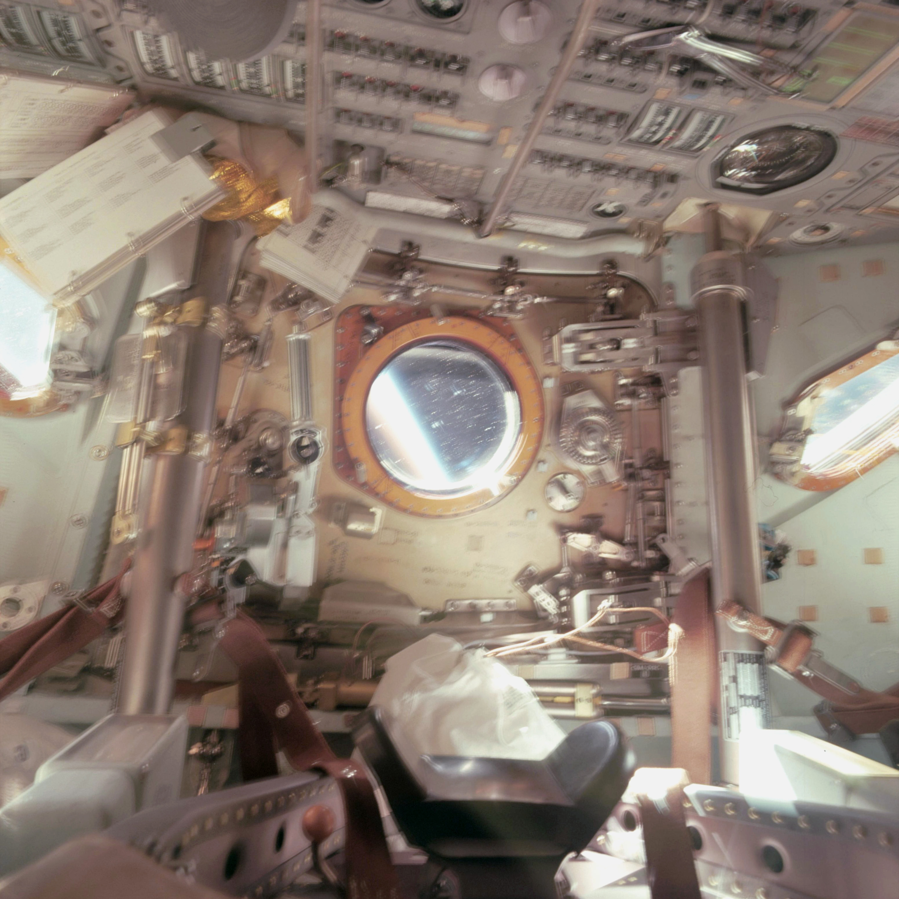 | AS09-20-3104 Inside Command Module Image credit: Image Science and Analysis Laboratory, NASA-Johnson Space Center. |
 | AS09-20-3104A Inside Command Module Image credit: Image Science and Analysis Laboratory, NASA-Johnson Space Center. |
 | AS09-20-3104B Inside Command Module Image credit: Image Science and Analysis Laboratory, NASA-Johnson Space Center. |
 | AS09-20-3104C Inside Command Module Image credit: Image Science and Analysis Laboratory, NASA-Johnson Space Center. |
 | AS09-20-3104D Inside Command Module Image credit: Image Science and Analysis Laboratory, NASA-Johnson Space Center. |
 | AS09-20-3104E Inside Command Module Image credit: Image Science and Analysis Laboratory, NASA-Johnson Space Center. |
 | AS09-20-3104F Inside Command Module Image credit: Image Science and Analysis Laboratory, NASA-Johnson Space Center. |
 | AS09-20-3104G Inside Command Module Image credit: Image Science and Analysis Laboratory, NASA-Johnson Space Center. |
 | AS09-20-3104H Inside Command Module Image credit: Image Science and Analysis Laboratory, NASA-Johnson Space Center. |
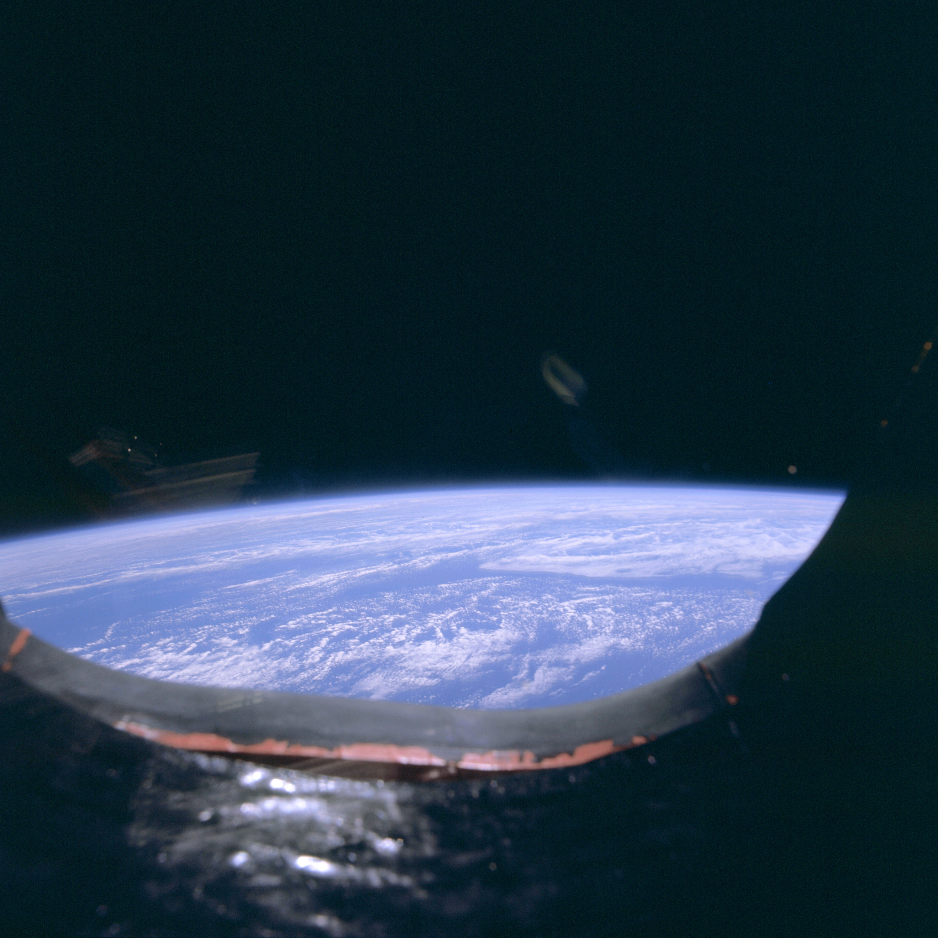 | AS09-20-3105 Limb shot, clouds Image credit: Image Science and Analysis Laboratory, NASA-Johnson Space Center. |
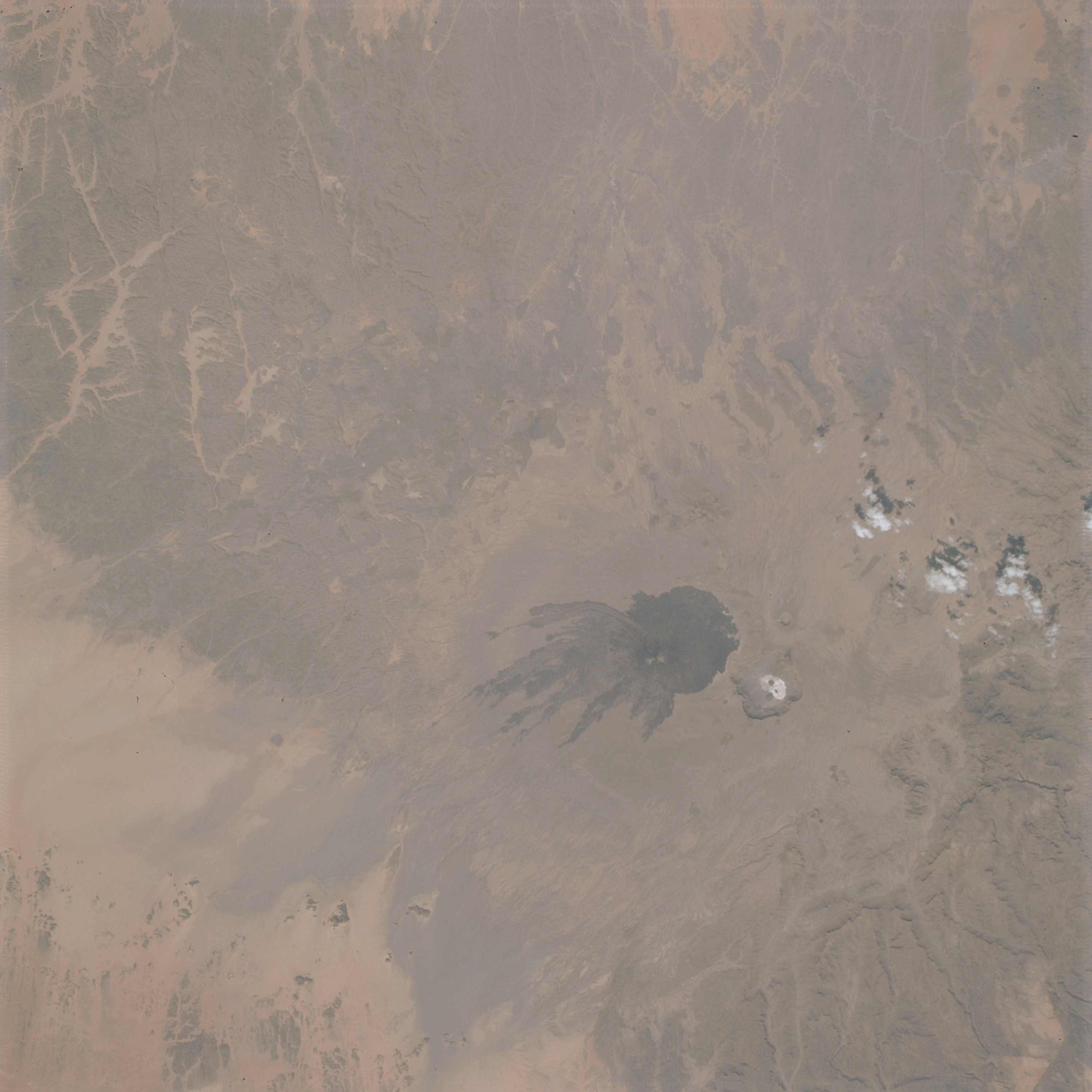 | AS09-20-3106 GEOGRAPHY/CARTOGRAPHY: Africa, Chad, Tibesti Mountaina, Mount Pic Touside. GEOLOGY/HYDROLOGY: Volcanic mountains and complex hills with an adjacent Hamada region. FORESTRY: Scattered shrubform. METEOROLOGY: Cumulus humilis. Image credit: Image Science and Analysis Laboratory, NASA-Johnson Space Center. |
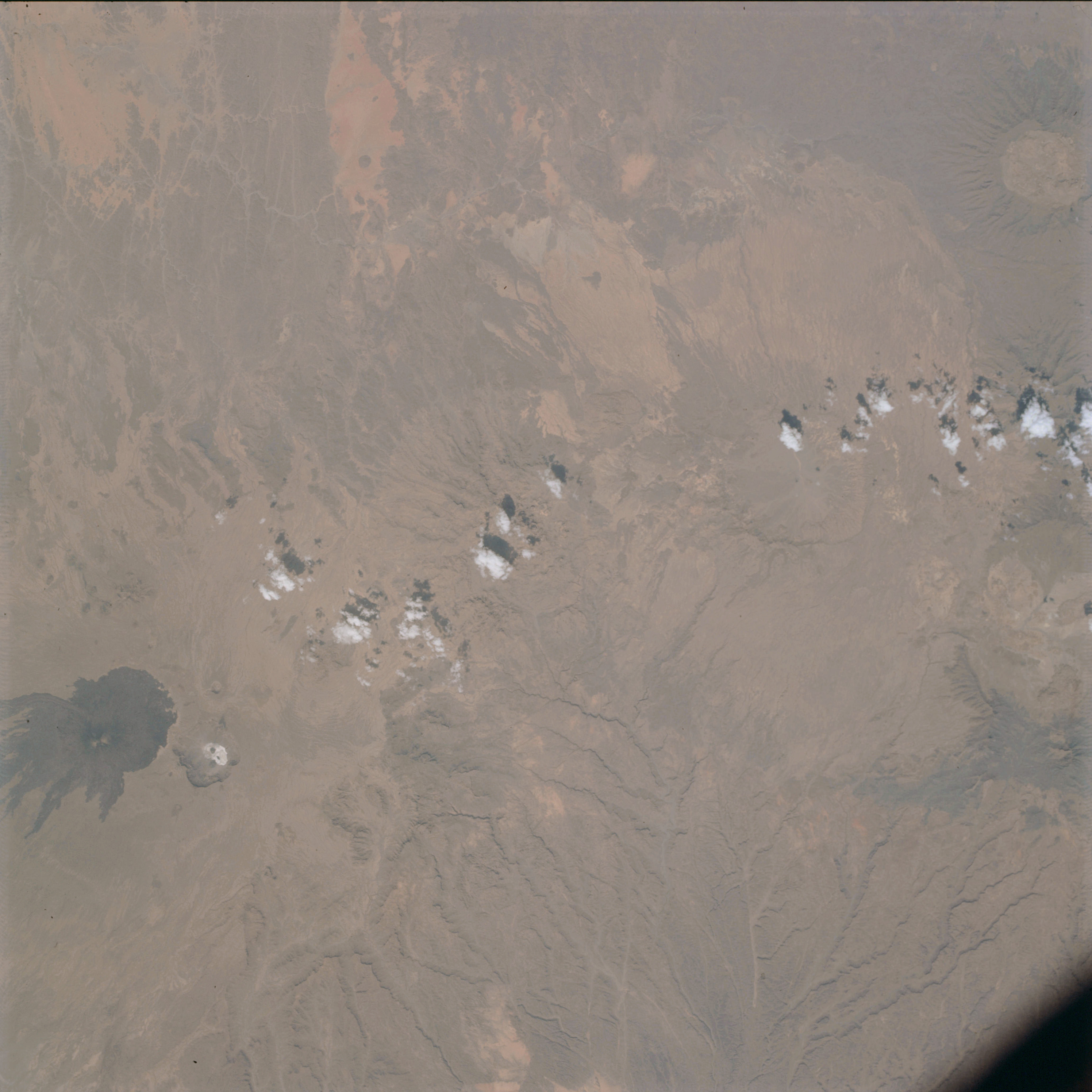 | AS09-20-3107 GEOGRAPHY/CARTOGRAPHY: Africa, Chad, Tibesti Mountains, Mount Pic Touside, Village of Bardai. GEOLOGY /HYDROLOGY: Volcanic mountains and complex hills. FORESTRY: Scattered shrubform. METEOROLOGY: Cumulus humilis. Image credit: Image Science and Analysis Laboratory, NASA-Johnson Space Center. |
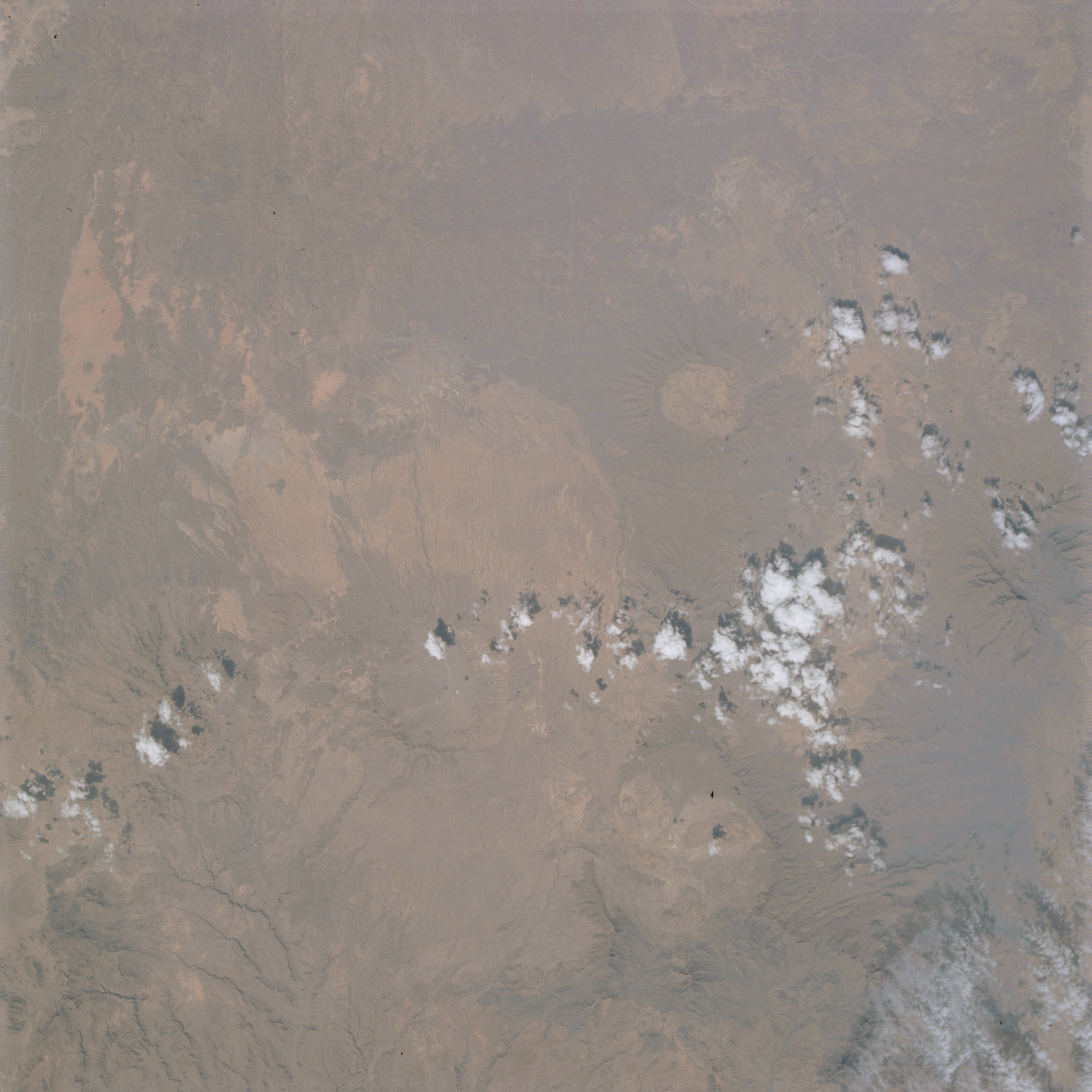 | AS09-20-3108 GEOGRAPHY/CARTOGRAPHY: Africa, Chad, Tibesti Mountains, Mount Tieroko, Village of Yebbi Bou. GEOLOGY/HYDROLOGY: Volcanic and complex mountains. FORESTRY: Scattered shrubform. METEOROLOGY: Cirro-cumulus, cumulus humilis. Image credit: Image Science and Analysis Laboratory, NASA-Johnson Space Center. |
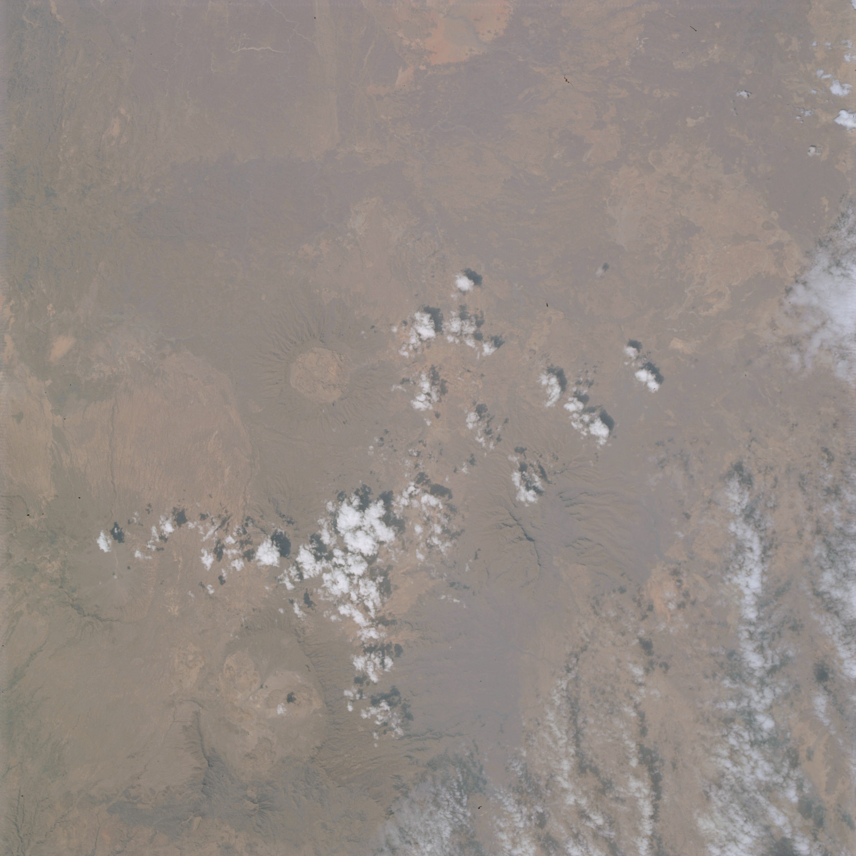 | AS09-20-3109 GEOGRAPHY/CARTOGRAPHY: Africa, Chad, Tibesti Mountains, Mount Tieroko. GEOLOGY/HYDROLOGY: Volcanic and complex mountains. FORESTRY: Scattered shrubform. METEOROLOGY: Cirro-cumulus, cumulus humilis. Image credit: Image Science and Analysis Laboratory, NASA-Johnson Space Center. |
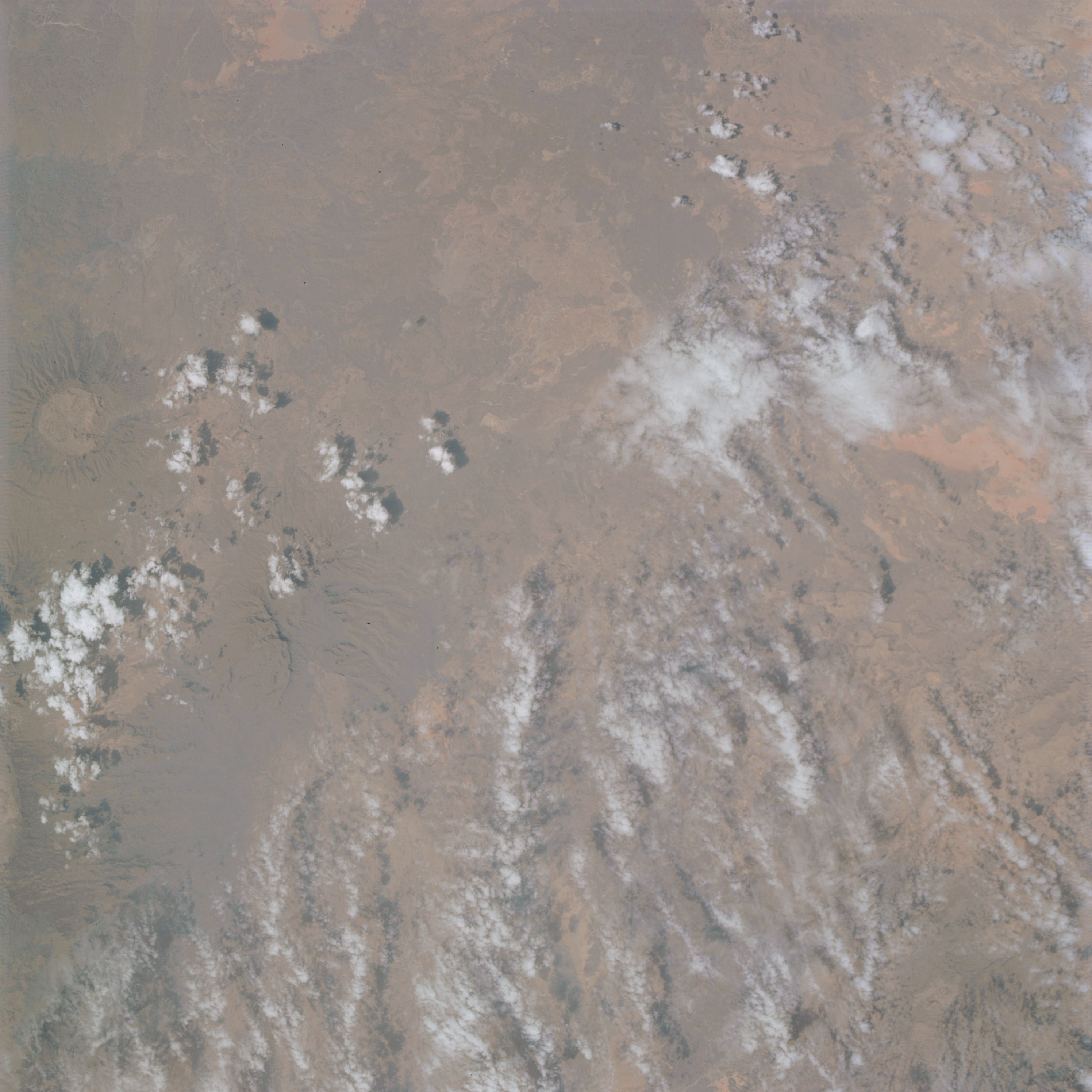 | AS09-20-3110 GEOGRAPHY/CARTOGRAPHY: Africa, Chad, Tibesti Mountains. GEOLOGY/HYDROLOGY: Volcanic hills and complex mountains. FORESTRY: Scattered shrubform. METEOROLOGY: Cirro-cumulus, cumulus humilis. Image credit: Image Science and Analysis Laboratory, NASA-Johnson Space Center. |
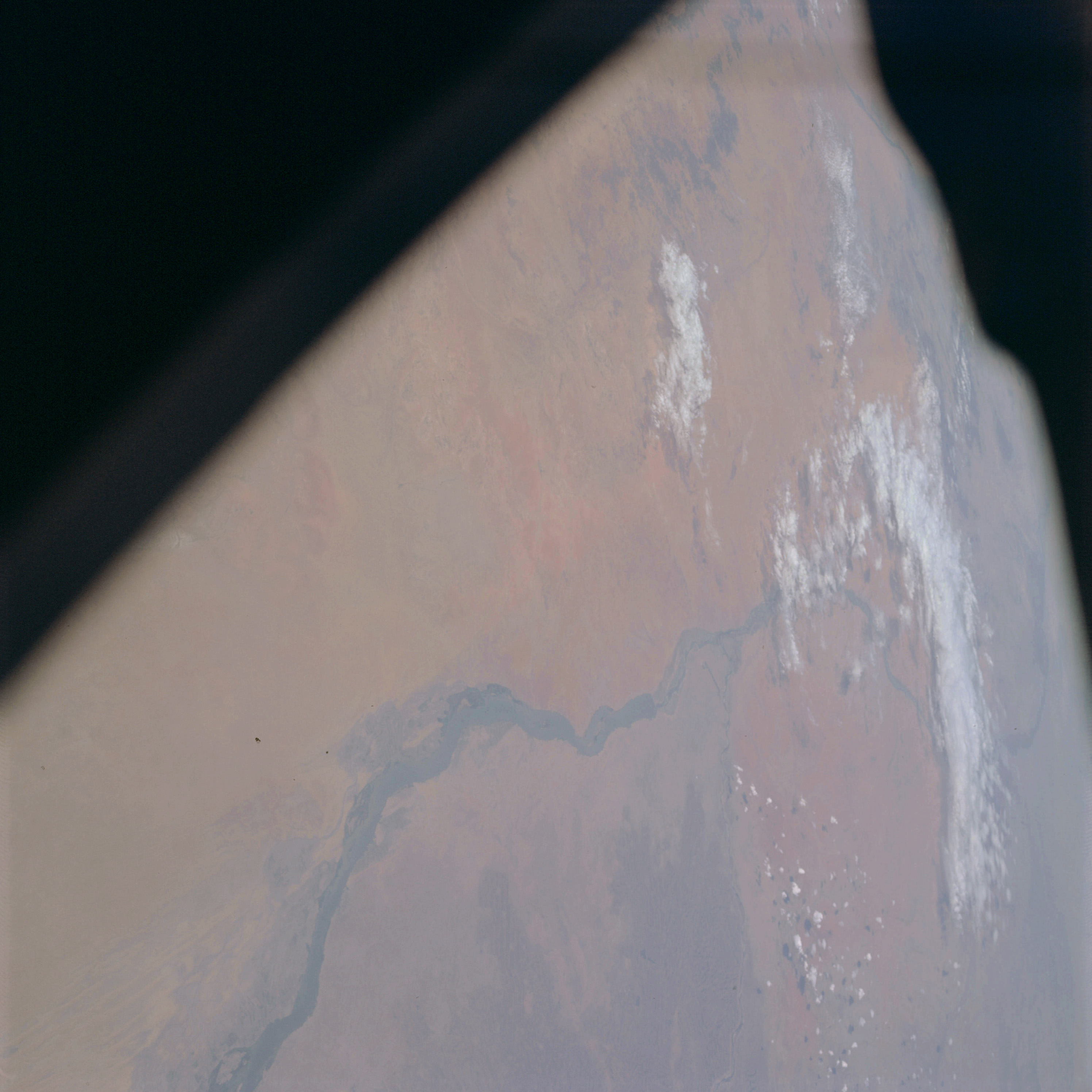 | AS09-20-3111 GEOGRAPHY/CARTOGRAPHY: Africa, Sudan, White Nile River, Blue Nile River, City of Khartoum, Towns of Ed Dueim and Wad Medani, White Nile Dam. GEOLOGY/HYDROLOGY: Erg plains and adjacent Hamada Plateau region. AGRICULTURE: Extensive irrigated cultivation between Blue and White Niles. FORESTRY: Scattered to dense broadleaf shrubform. Image credit: Image Science and Analysis Laboratory, NASA-Johnson Space Center. |
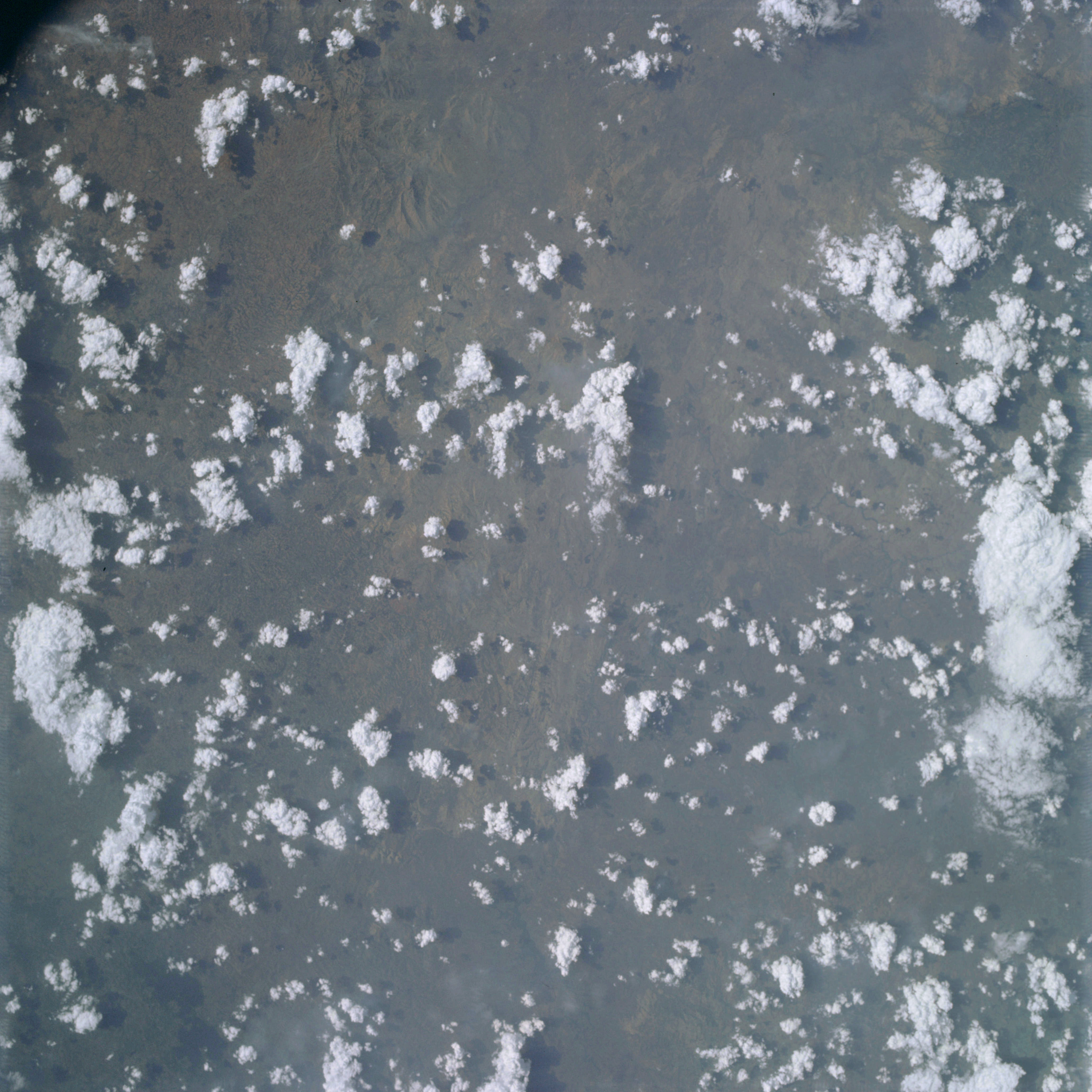 | AS09-20-3112 GEOGRAPHY/CARTOGRAPHY: Africa, Ethiopia, Town of Jimma. GEOLOGY/HYDROLOGY: Complex mountain region. AGRICULTURE: Grazing lands. FORESTRY: Savanna grasslands and deciduous shrubform. METEOROLOGY: Cumulus humilis, cumulus congestus, cumulo-nimbus, thunderstorm build-up over mountain area. Image credit: Image Science and Analysis Laboratory, NASA-Johnson Space Center. |
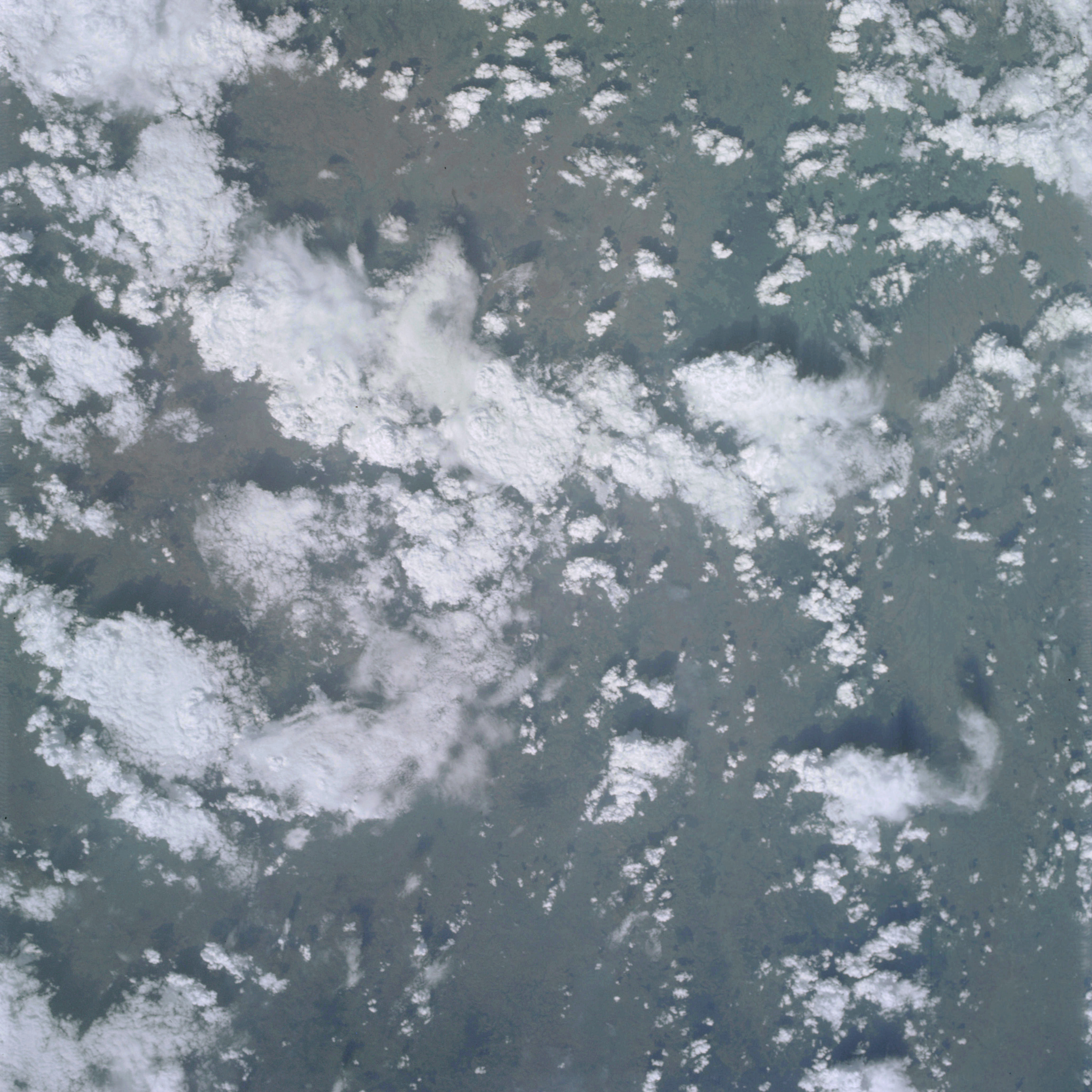 | AS09-20-3113 GEOGRAPHY/CARTOGRAPHY: Africa, Ethiopia, Omo River, Village of Abalti. GEOLOGY/HYDROLOGY: Dissected mountain region. AGRICULTURE: Grazing lands. FORESTRY: Savanna grasslands with scattered deciduous shrubform. METEOROLOGY: Cumulus humilis, cumulus congestus, cumulo-nimbus, thunderstorm build-up over mountain area, anvil-shaped tops are visible. Image credit: Image Science and Analysis Laboratory, NASA-Johnson Space Center. |
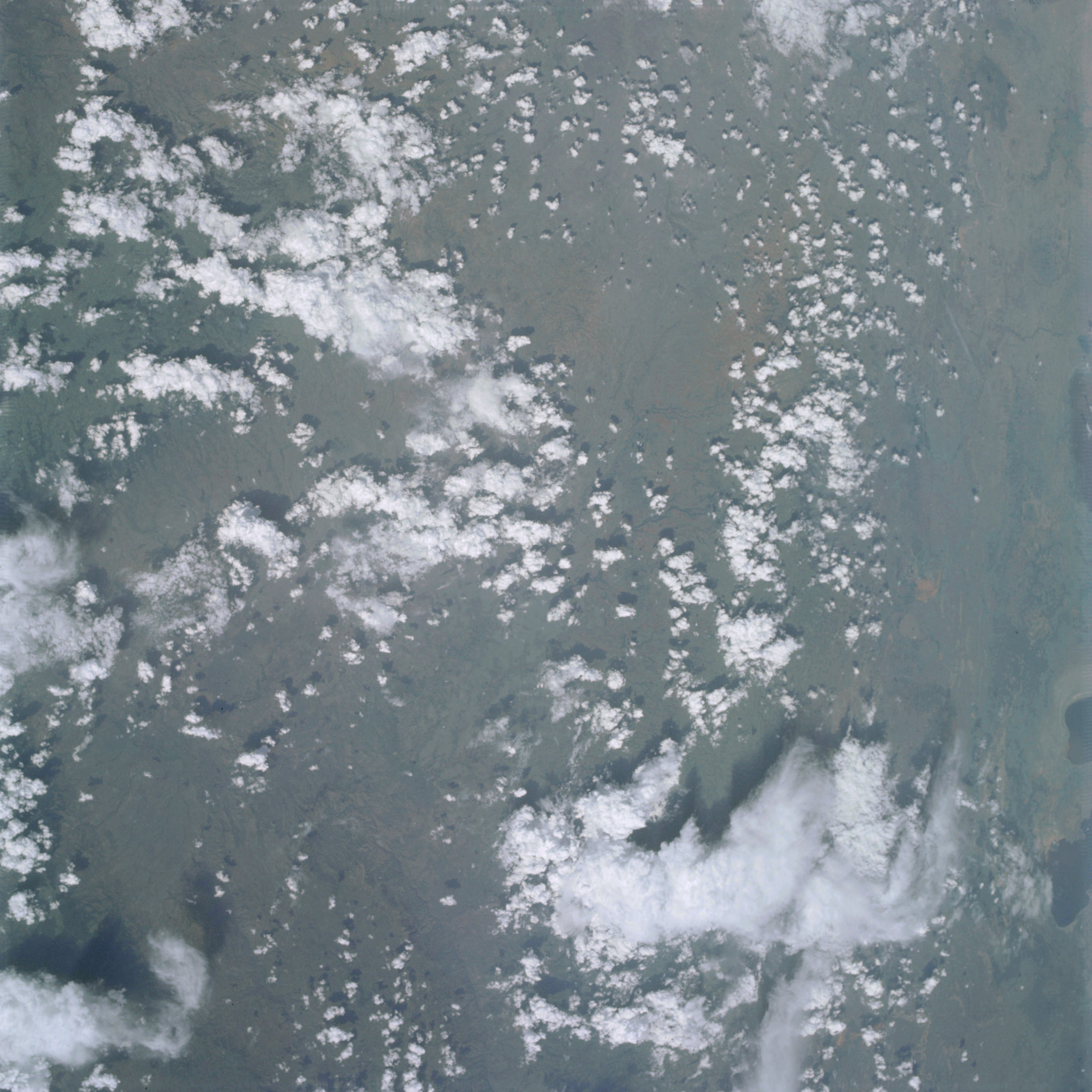 | AS09-20-3114 GEOGRAPHY/CARTOGRAPHY: Africa, Ethiopia, City of Husseina. GEOLOGY/HYDROLOGY: Dissected mountain region adjacent to the rift zone. AGRICULTURE: Grazing lands. FORESTRY: Savanna grass, with deciduous shrubform. METEOROLOGY: Cumulus humilis, cumulus congestus, cumulo-nimbus, with anvil. Image credit: Image Science and Analysis Laboratory, NASA-Johnson Space Center. |
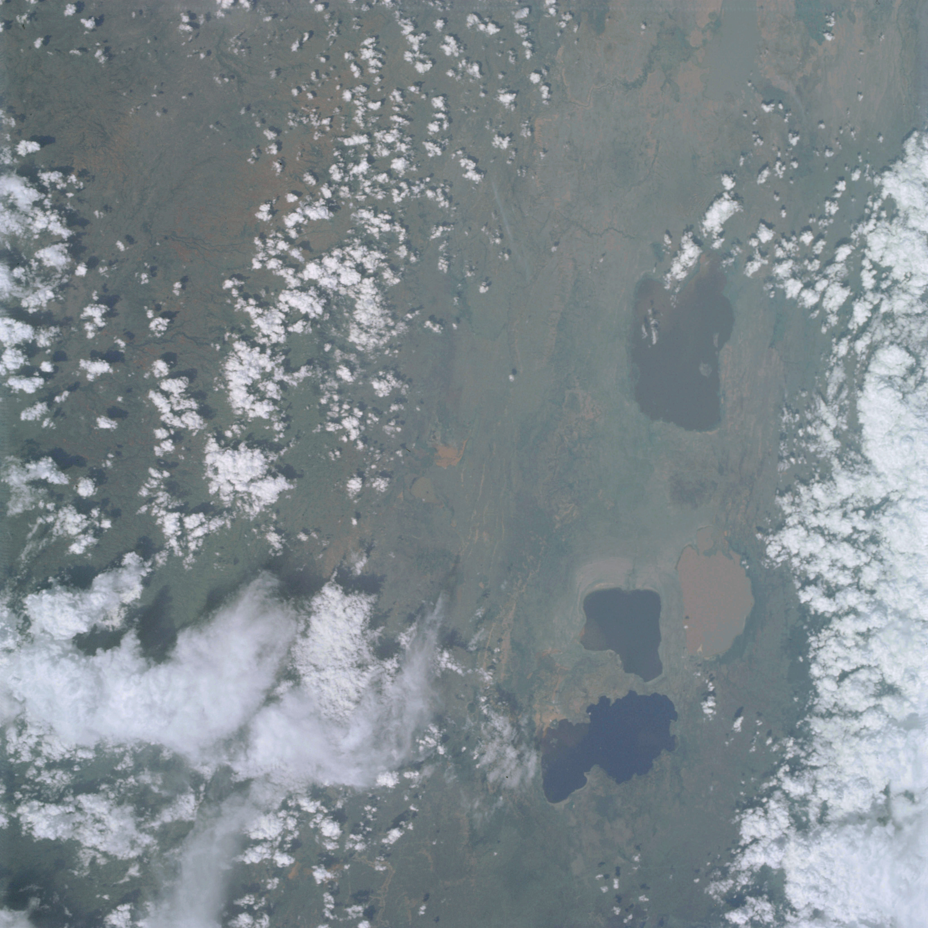 | AS09-20-3115 GEOGRAPHY/CARTOGRAPHY: Africa, Ethiopia, Lakes Zwai, Langana, Abiyata, Shala, Mt Guarage, Area ia south of city of Addis Ababa. GEOLOGY/HYDROLOGY: Fractured rift valley zone and complex elevated plateau region. AGRICULTURE: Grazing lands. FORESTRY: Savanna grass, with deciduous shrubform. METEOROLOGY: Cumulus humilis, cumulus congestus, cumulo-nimbus with anvil, line-squall cloud also visible. Image credit: Image Science and Analysis Laboratory, NASA-Johnson Space Center. |
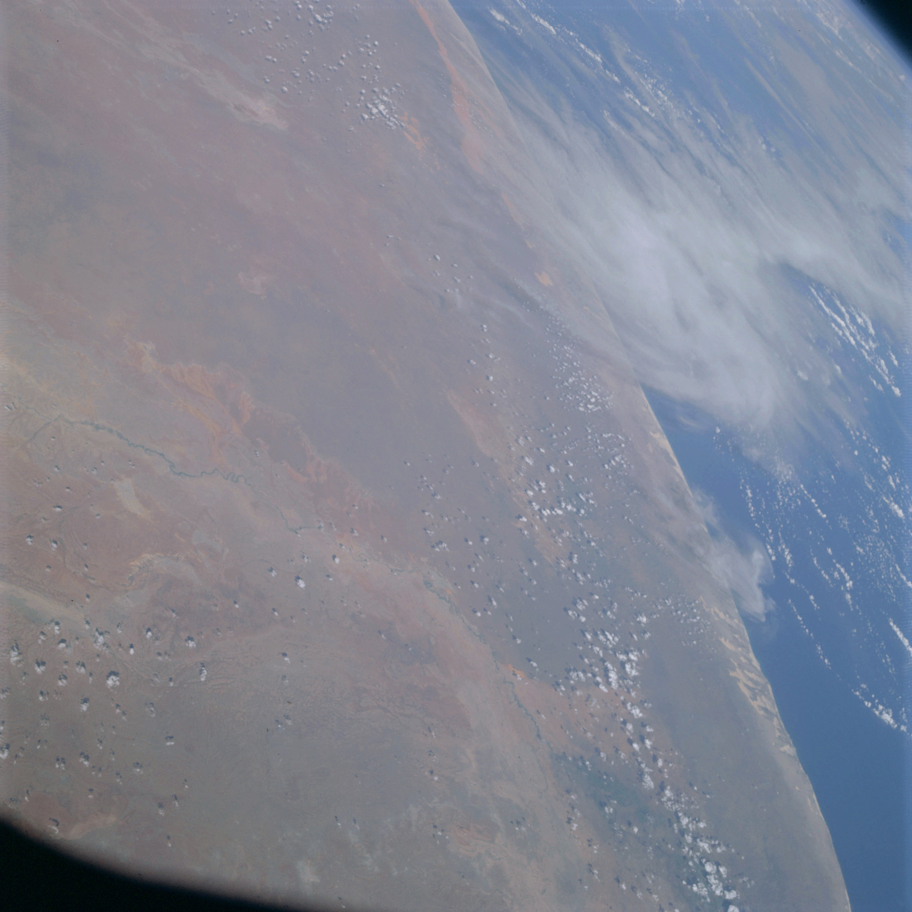 | AS09-20-3116 GEOGRAPHY/CARTOGRAPHY: Africa, Somali Republic, City of Mogadiscio, Scebeli River, Arabian Sea. GEOLOGY/HYDROLOGY: Sedimentary plateau and dry lake region. FORESTRY: Savanna grasslands. METEOROLOGY: Cirrus uncinus, cumulus humilis. Image credit: Image Science and Analysis Laboratory, NASA-Johnson Space Center. |
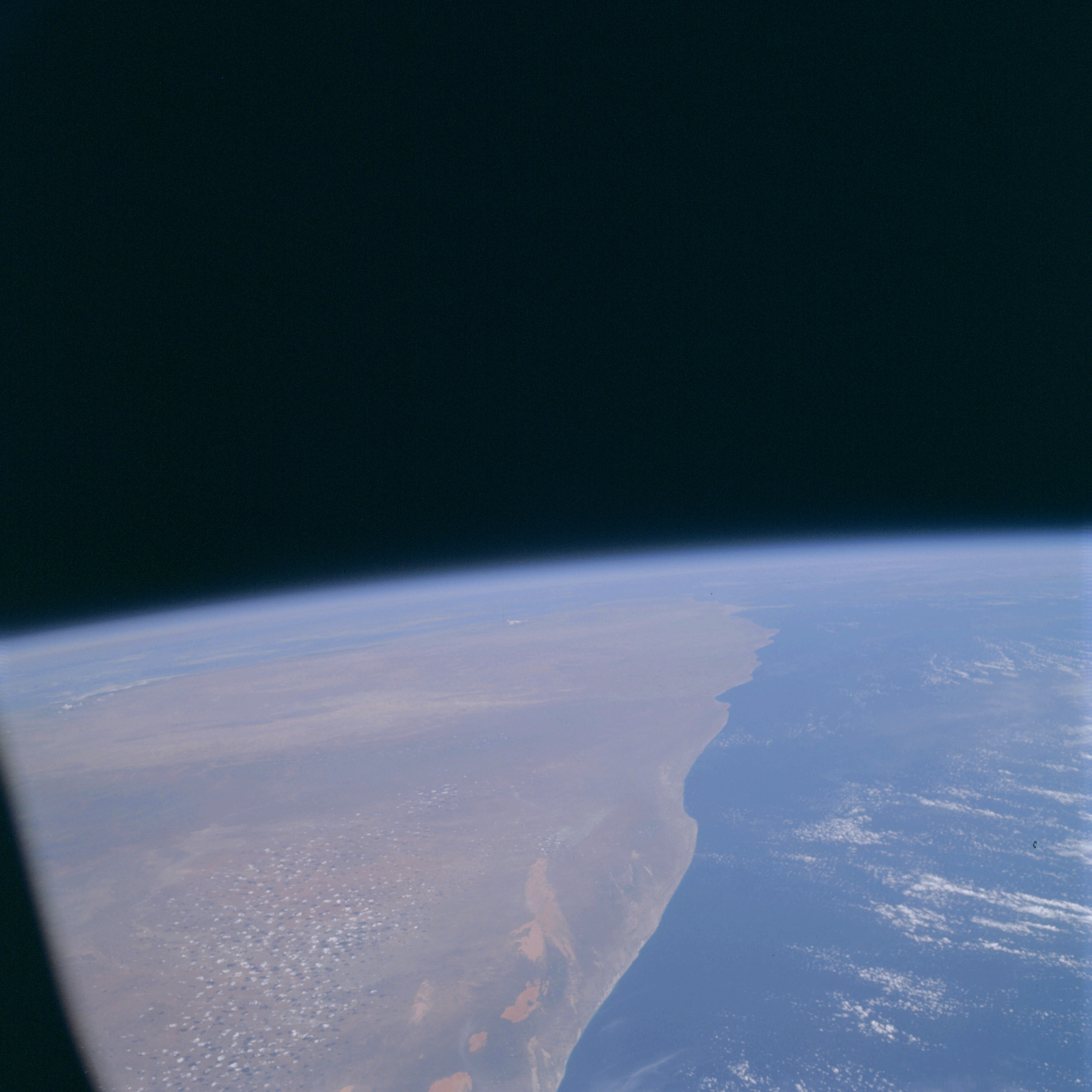 | AS09-20-3117 GEOGRAPHY/CARTOGRAPHY: Africa, Somali Republic, looking northeastward up the coast toward the Di Hafun Peninsula, Arabian Sea. GEOLOGY/HYDROLOGY: Sedimentary plateau and coastal plain with dry salt lakes adjacent to the coast. FORESTRY: Savanna grasslands. METEOROLOGY: Cirro-cumulus. Image credit: Image Science and Analysis Laboratory, NASA-Johnson Space Center. |
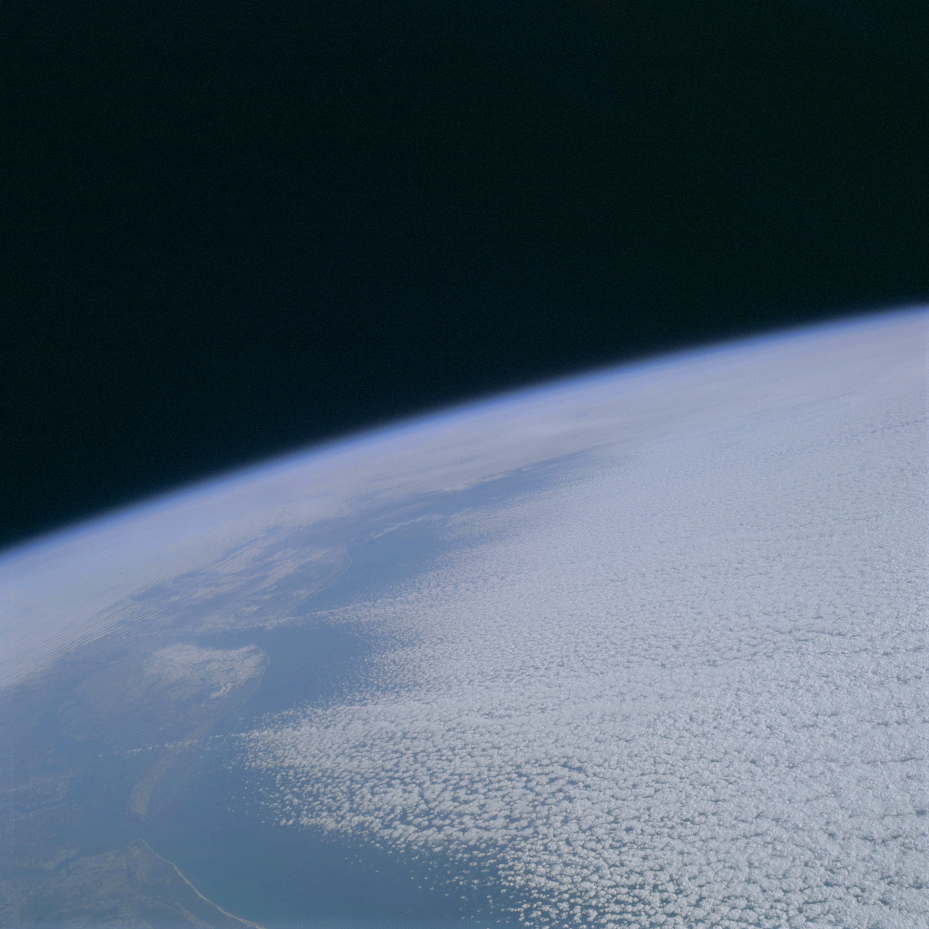 | AS09-20-3118 GEOGRAPHY/CARTOGRAPHY: United States, view looking northeast along coast from Elizabeth, North Carolina to Long Island, New York, Chesapeake Bay, Delmarva Peninsula, Delaware Bay. GEOLOGY/HYDROLOGY: Coastal plain region. METEOROLOGY: Alto-cumulus, strato-cumulus, snow cover in Delaware, portions of New Jersey and Pennsylvania. Image credit: Image Science and Analysis Laboratory, NASA-Johnson Space Center. |
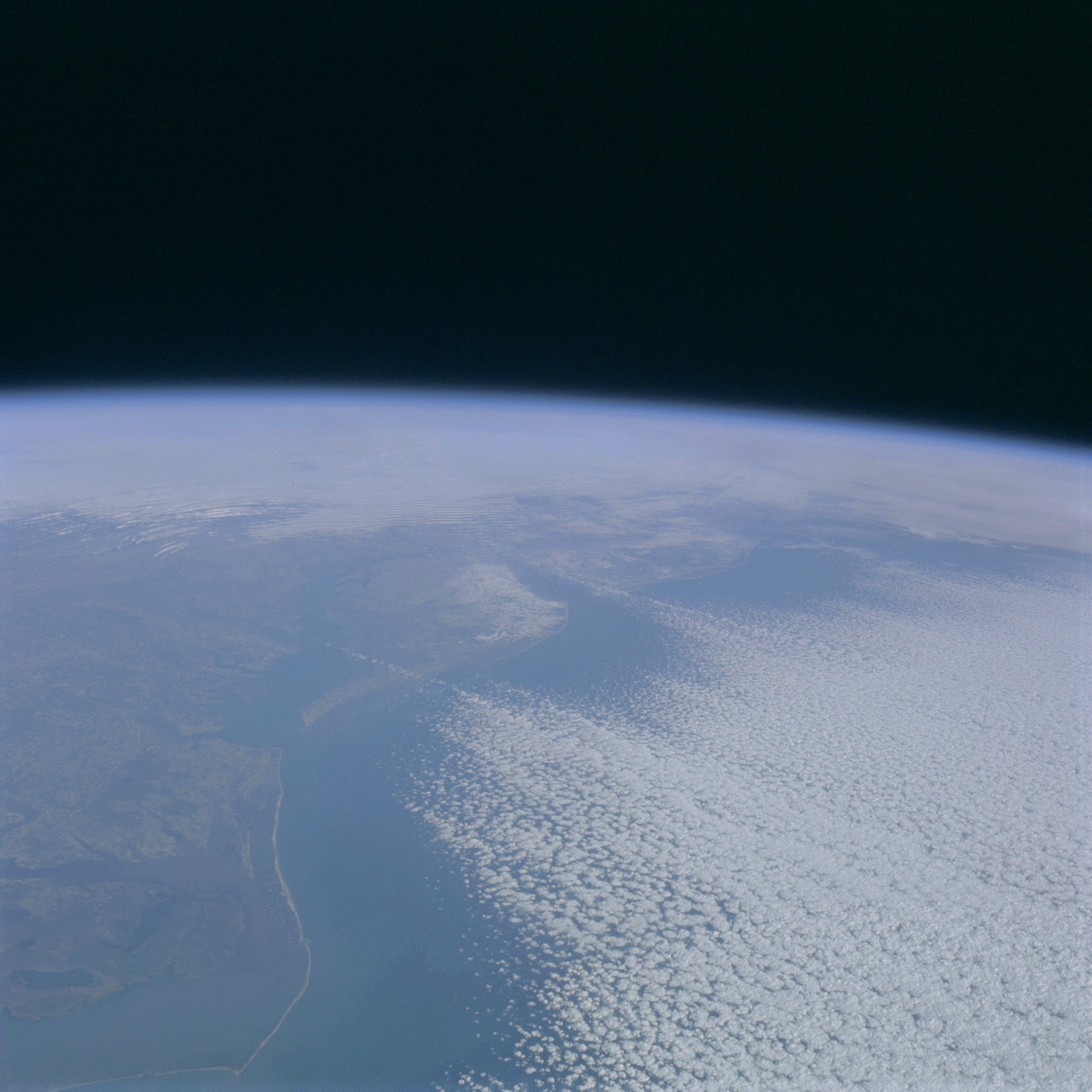 | AS09-20-3119 GEOGRAPHY/CARTOGRAFHY: United States, view looking north along coast from Cape Hatteras, North Carolina to Pennsylvania, Chesapeake Bay, Delmarva Peninsula, New Jersey, Capes Charles and Henry. GEOLOGY/HYDROLOGY: Coastal plain with consequent drainage. FORESTRY: Scattered forests of pine/hardwood. METEOROLOGY: Alto-cumulus, strato-cumulus, snow cover in Delaware, portions of New Jersey, and Pennsylvania. Image credit: Image Science and Analysis Laboratory, NASA-Johnson Space Center. |
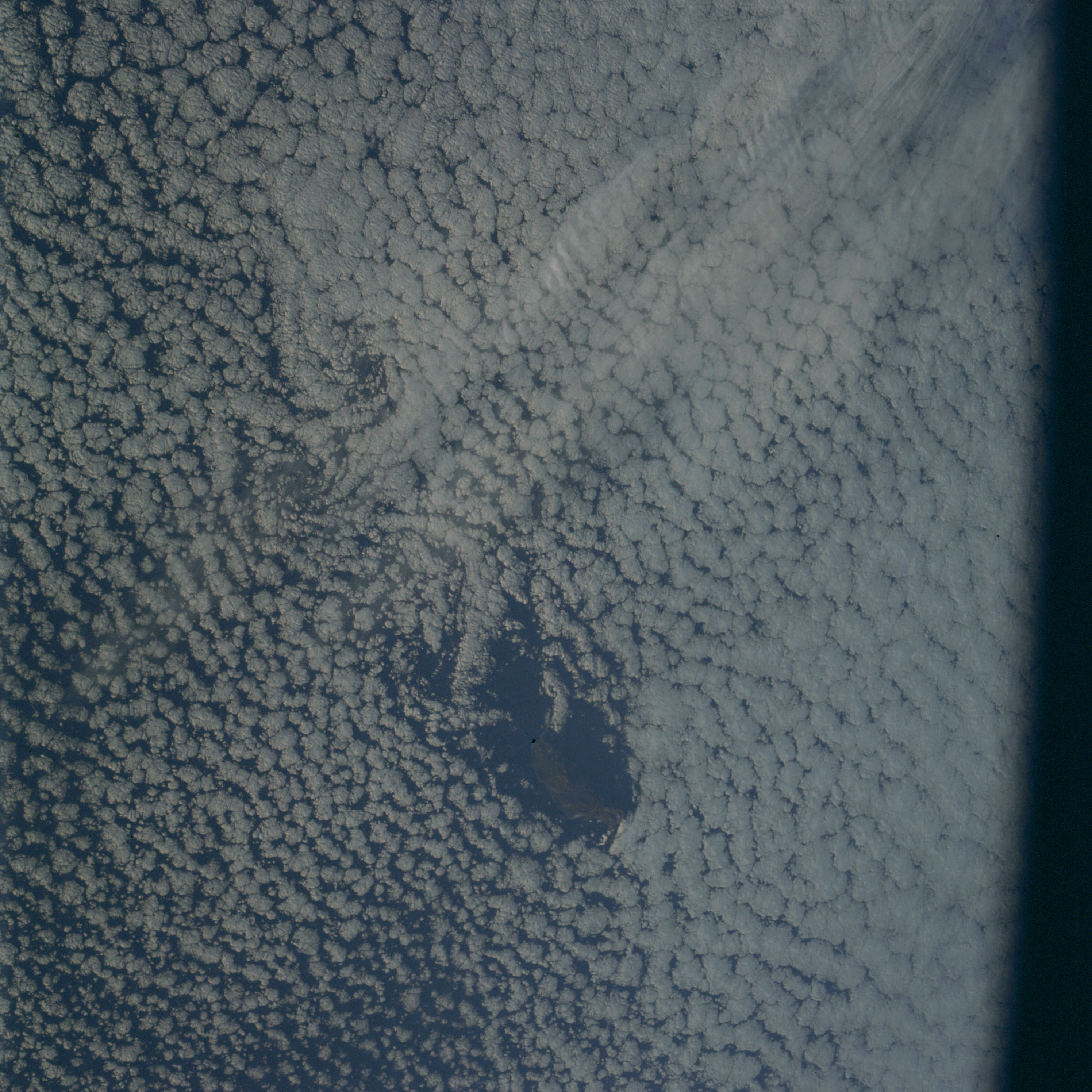 | AS09-20-3120 GEOGRAPHY/CARTOGRAPHY: Guadalupe Island, North Point. METEOROLOGY: Alto-cumulus undulatus, Karmen cloud vortices. Image credit: Image Science and Analysis Laboratory, NASA-Johnson Space Center. |
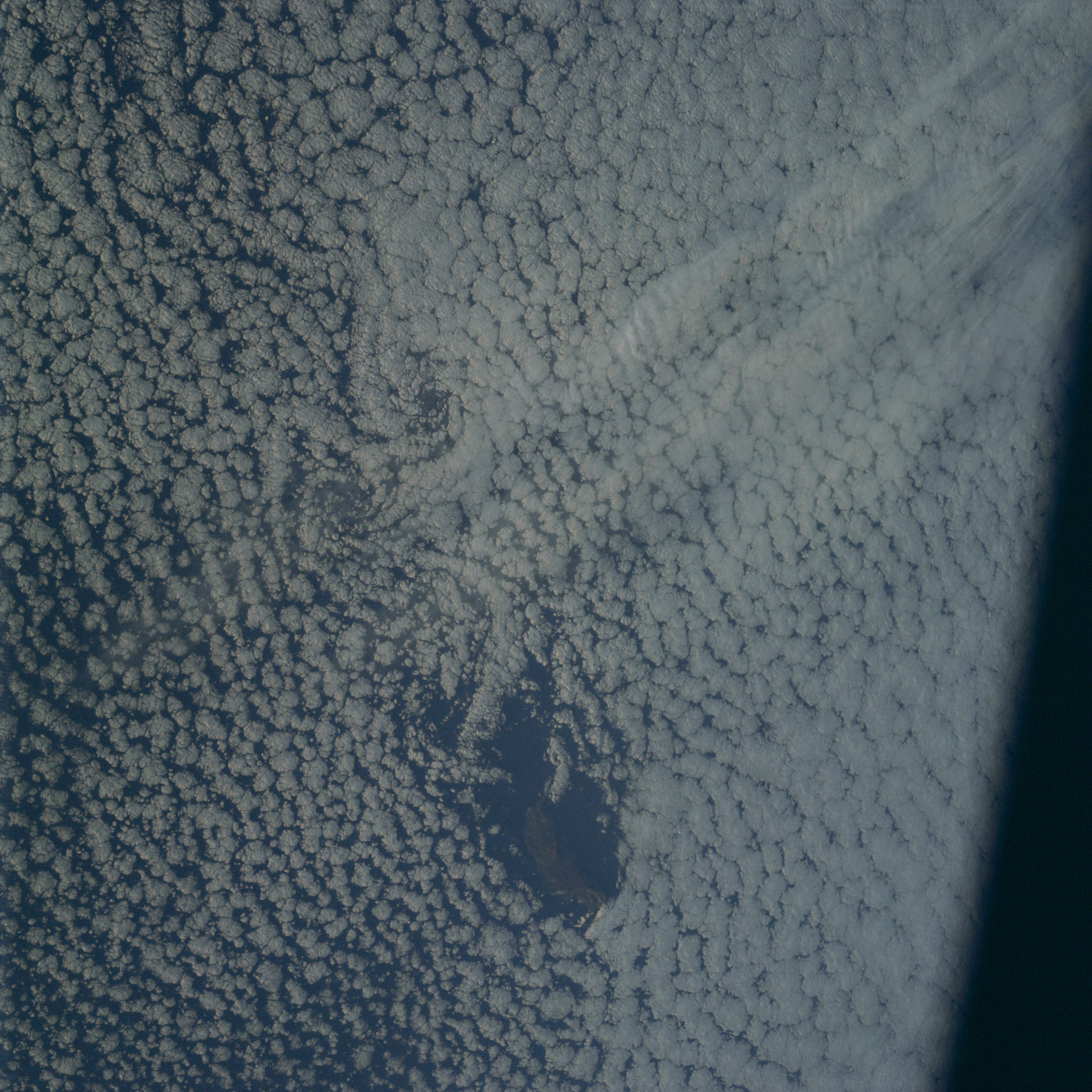 | AS09-20-3121 GEOGRAPHY/CARTOGRAPHY: Guadalupe Island, North Point. METEOROLOGY: Alto-cumulus undulatus, Karmen cloud vortices. Image credit: Image Science and Analysis Laboratory, NASA-Johnson Space Center. |
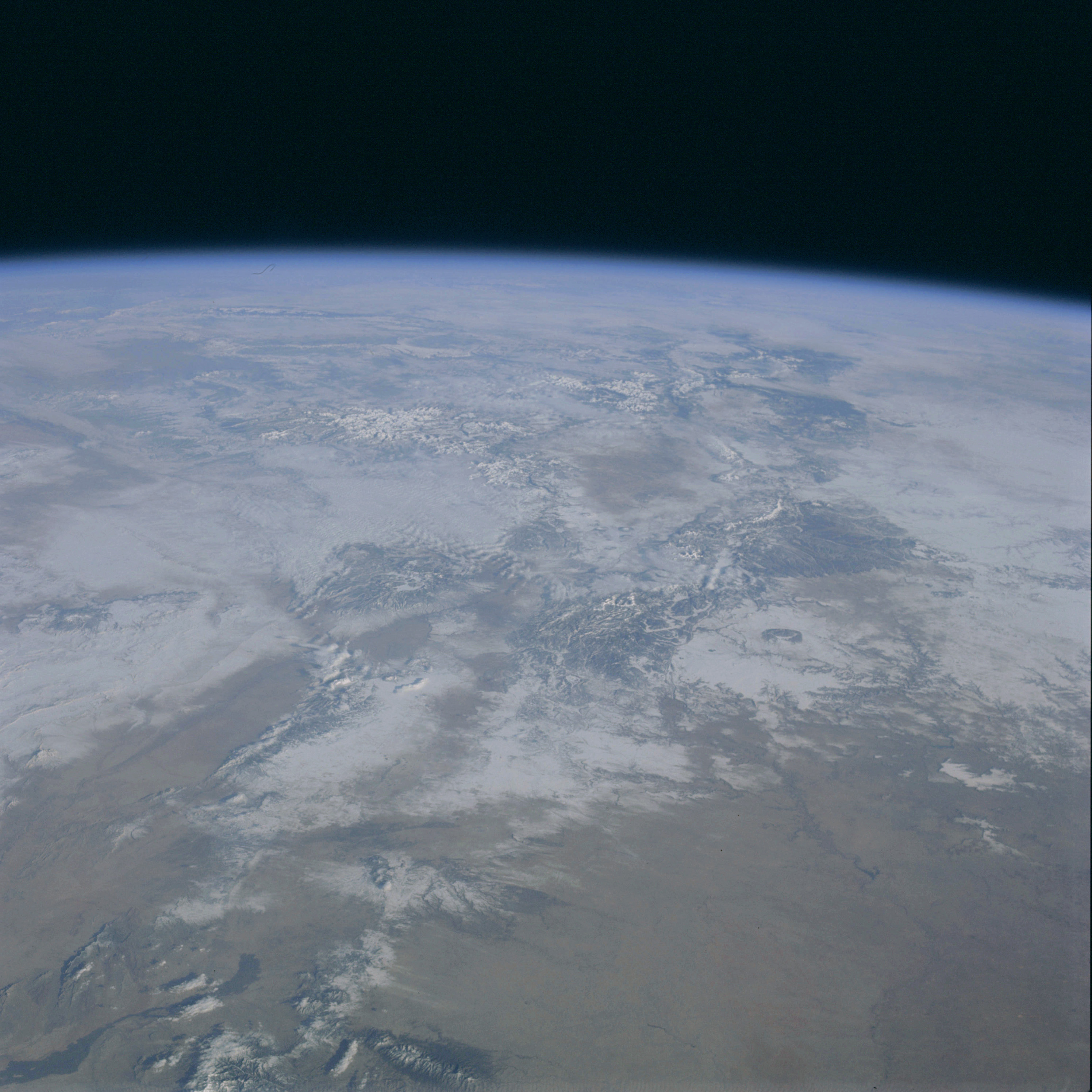 | AS09-20-3122 GEOGRAPHY/CARTOGRAPHY: United States, New Mexico, Texas, Colorado, Rio Grande and Pecos Rivers, southern Rocky Mountains, Alamogordo Reservoir, Cities of Albuquerque and Santa Fe. GEOLOGY/HYDROLOGY: Basin and Range Province, Central Plains, and complex igneous mountain range. AGRICULTURE: Field patterns evident east of Pecos River. FORESTRY: Desert, shrubform with some needle-leaf at higher elevations. METEOROLOGY: Extensive snow cover in mountain and plateau areas, some strato-cumulus northwest of Santa Fe. Image credit: Image Science and Analysis Laboratory, NASA-Johnson Space Center. |
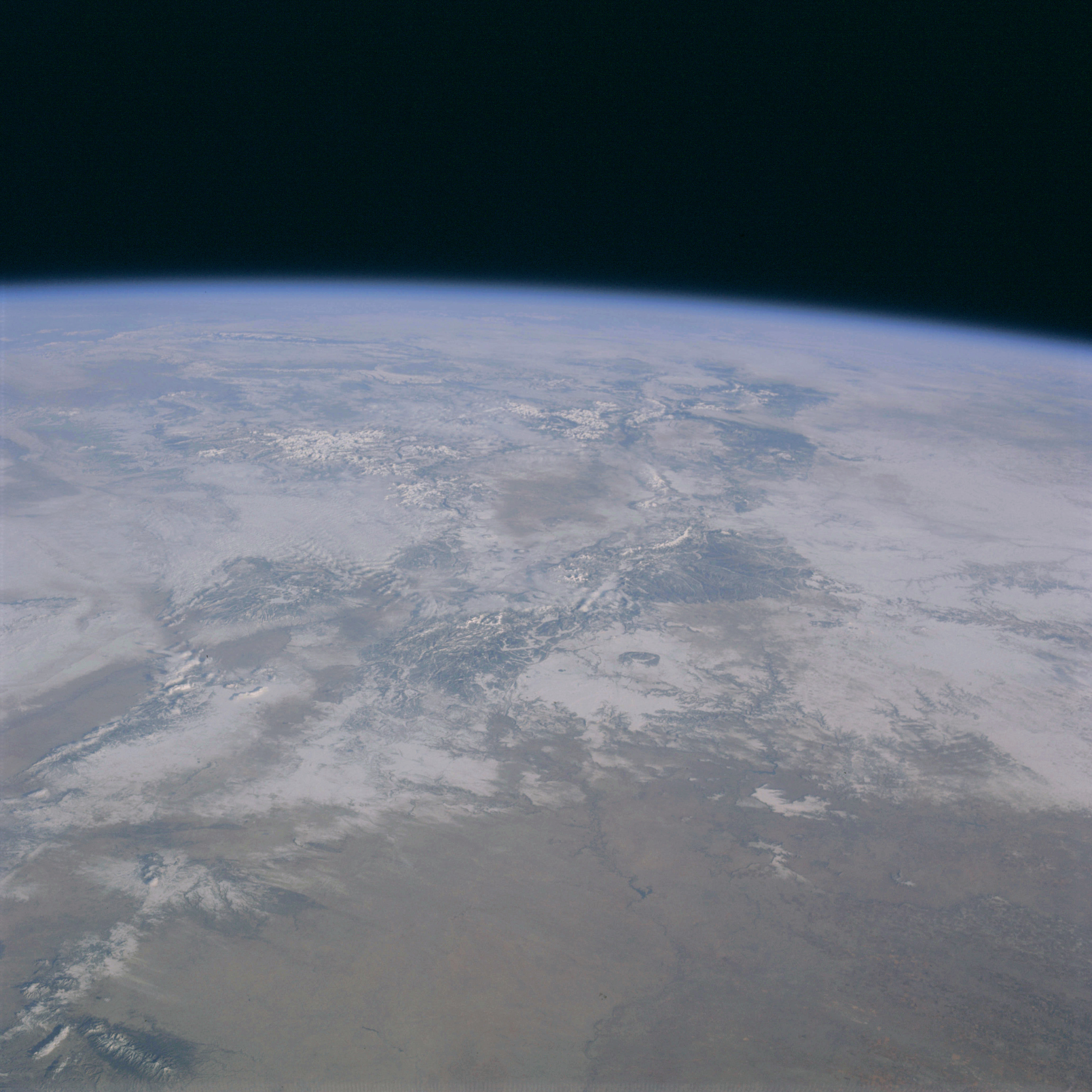 | AS09-20-3123 GEOGRAPHY/CARTOGRAPHY: United States, New Mexico, Texas, Colorado, Pecos and Rio Grande Rivers, southern Rocky Mountains, Cities of Roswell and Santa Fe. GEOLOGY/HYDROLOGY: Basin and Range Province, Central Plains, and complex igneous mountain range. AGRICULTURE: Extensive cultivation east of Roswell, New Mexico. FORESTRY: Desert shrubform with some needle-leaf at higher elevations. METEOROLOGY: Extensive snow cover in mountain and plateau areas, some strato-cumulus northwest of Santa Fe. Image credit: Image Science and Analysis Laboratory, NASA-Johnson Space Center. |
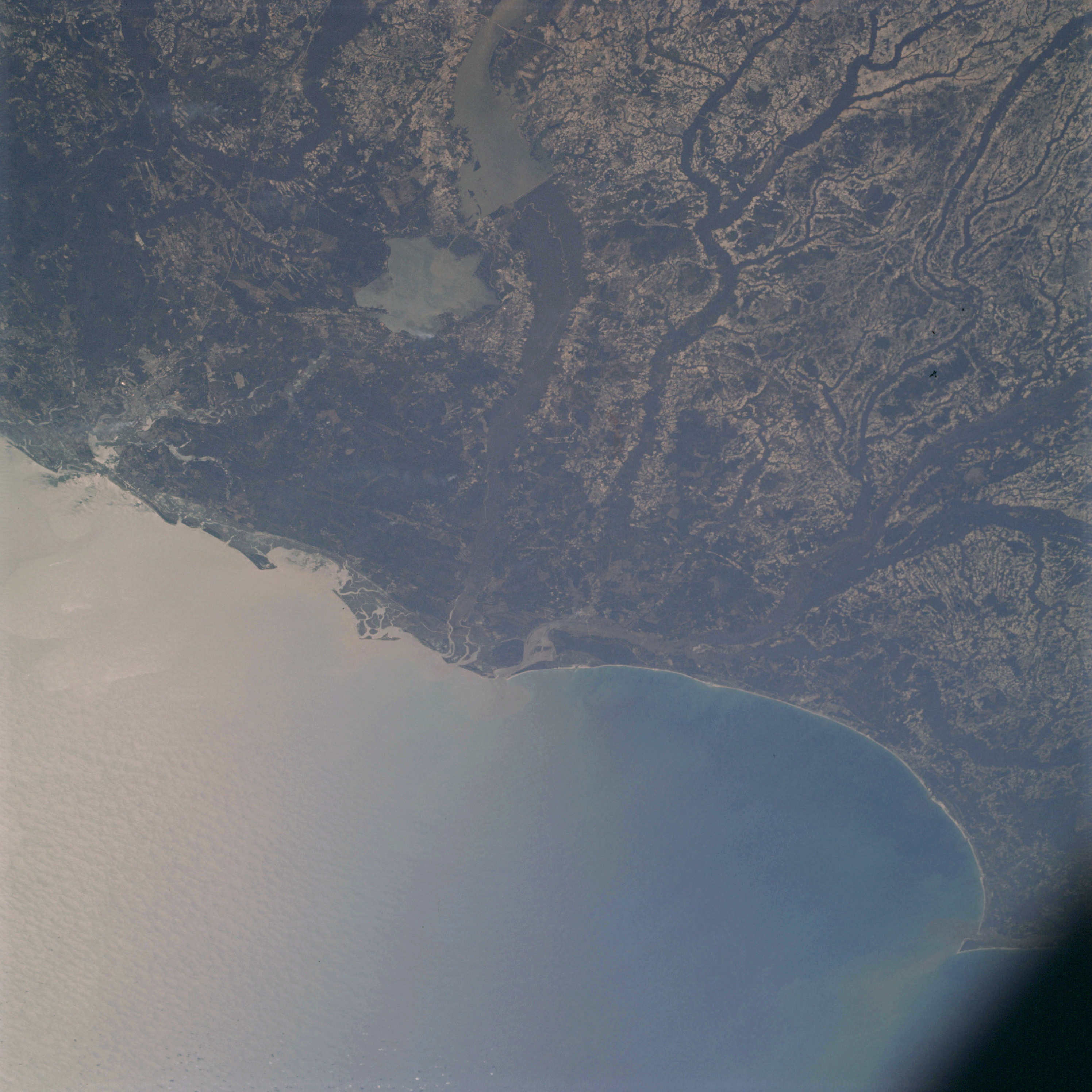 | AS09-20-3124 GEOGRAPHY/CARTOGRAPHY: United States, South Carolina, North Carolina, Lakes Moultrie, and Marion, Capes Fear and Romain, Cities of Charleston and Myrtle Beach. GEOLOGY/HYDROLOGY: Sedimentary coastal plain with consequent dendritic drainage. AGRICULTURE: Extensive and highly concentrated cultivation. FORESTRY: Mixed pine/hardwood forests, heavy concentration of hardwoods in river bottoms, some smoke. OCEANOGRAPHY: Atlantic Ocean, sun glint areas show swell patterns, longshore currents indicated by sediments from streams. Image credit: Image Science and Analysis Laboratory, NASA-Johnson Space Center. |
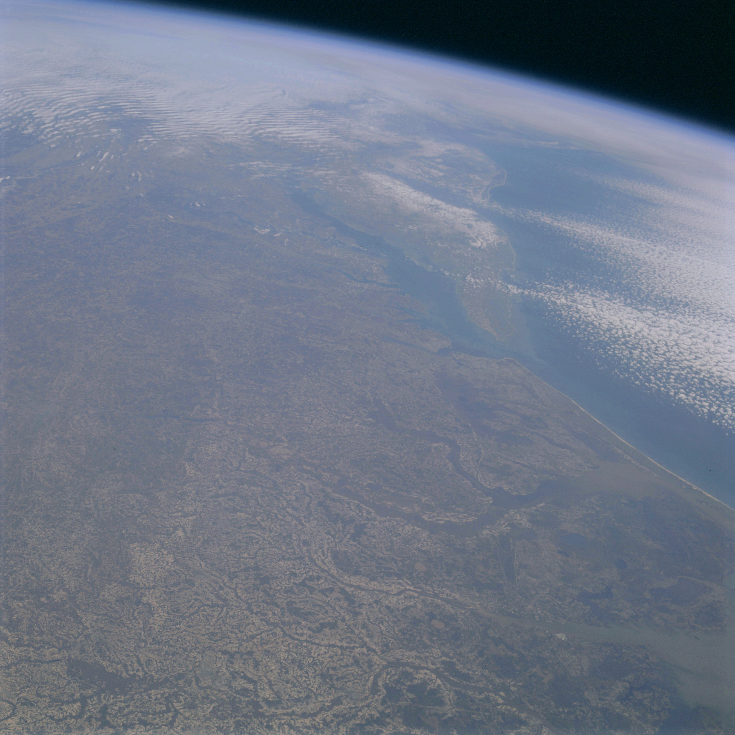 | AS09-20-3125 GEOGRAPHY/CARTOGRAPHY: United States, North Carolina, Virginia, Maryland, Delaware, New Jersey, Capes May, Henlopen, Henry and Charles, Cities of Norfolk, Richmond, and Washington D.C., Chesapeake Bay. GEOLOGY/HYDROLOGY: Sedimentary coastal plain with consequent dendritic drainages. AGRICULTURE: Extensive and highly concentrated cultivation field patterns irregular in shape. FORESTRY: Mixed pine/hardwood, hardwood river bottoms. METEOROLOGY: Alto-cumulus, strato-cumulus, snow cover in Delaware and portions of New Jersey and Pennsylvania. OCEANOGRAPHY: Atlantic Ocean, some sediment patterns visible. Image credit: Image Science and Analysis Laboratory, NASA-Johnson Space Center. |
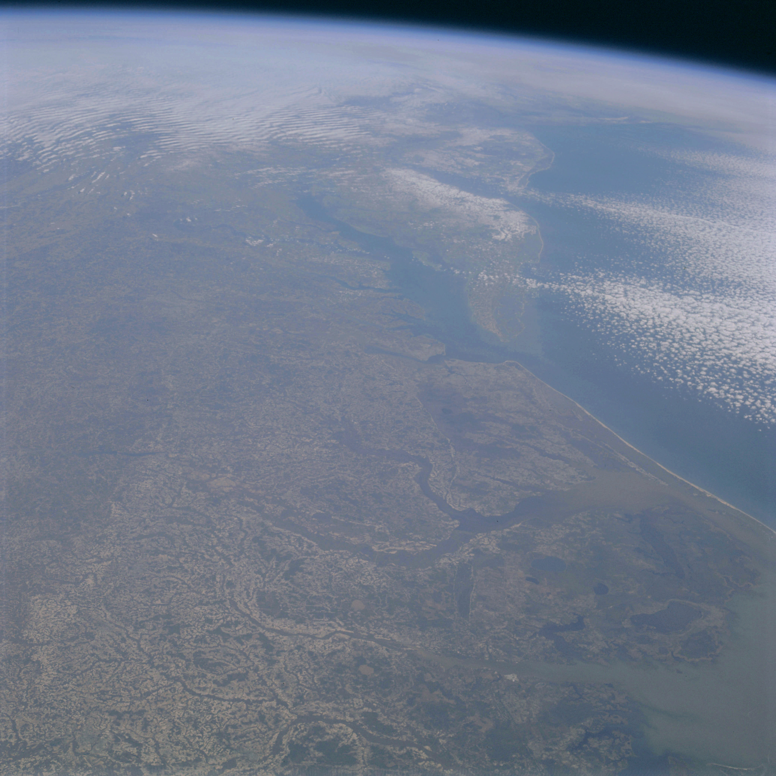 | AS09-20-3126 GEOGRAPHY/CARTOGRAPHY: United States, North Carolina, Virginia, Maryland, Delaware, New Jersey, Capes May, Henlopen, Henry and Charles, Chesapeake Bay, Cities of Norfolk, Richmond, and Washington, D.C. GEOLOGY/HYDROLOGY: Sedimentary coastal plain region. AGRICULTURE: Extensive cultivation, irregular field patterns. FORESTRY: Mixed pine/hardwood, hardwood bottomland. METEOROLOGY: Alto-cumulus, strato-cumulus, snow cover in Delaware and portions of New Jersey and Pennsylvania. OCEANOGRAPHY: Atlantic Ocean, some sediment patterns visible. Image credit: Image Science and Analysis Laboratory, NASA-Johnson Space Center. |
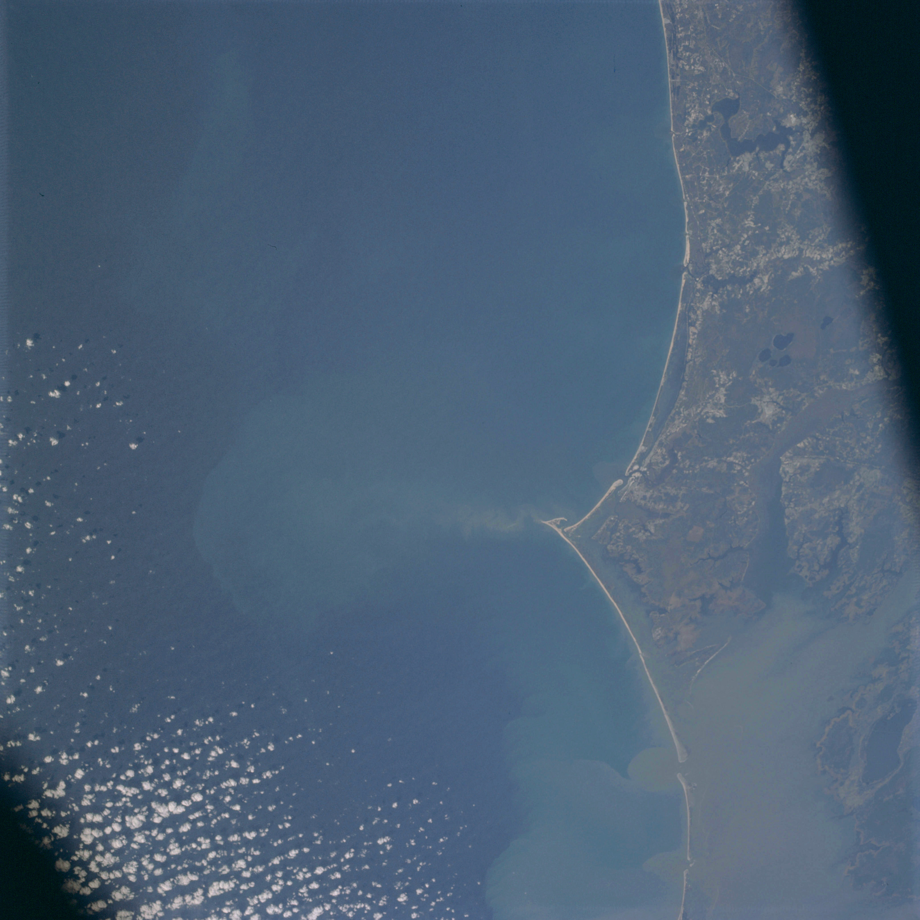 | AS09-20-3127 GEOGRAPHY/CARTOGRAPHY: United States, North Carolina, Cape Lookout, Pamilco Sound, Morehead City. GEOLOGY/HYDROLOGY: Coastal plain region. AGRICULTURE: Scattered field patterns. FORESTRY: Mixed pine/hardwood, coastal grasses. METEOROLOGY: Alto-cumulus. OCEANOGRAPHY: Atlantic Ocean, some swell patterns observable, sediment plume visible seaward from Cape Lookout. Image credit: Image Science and Analysis Laboratory, NASA-Johnson Space Center. |
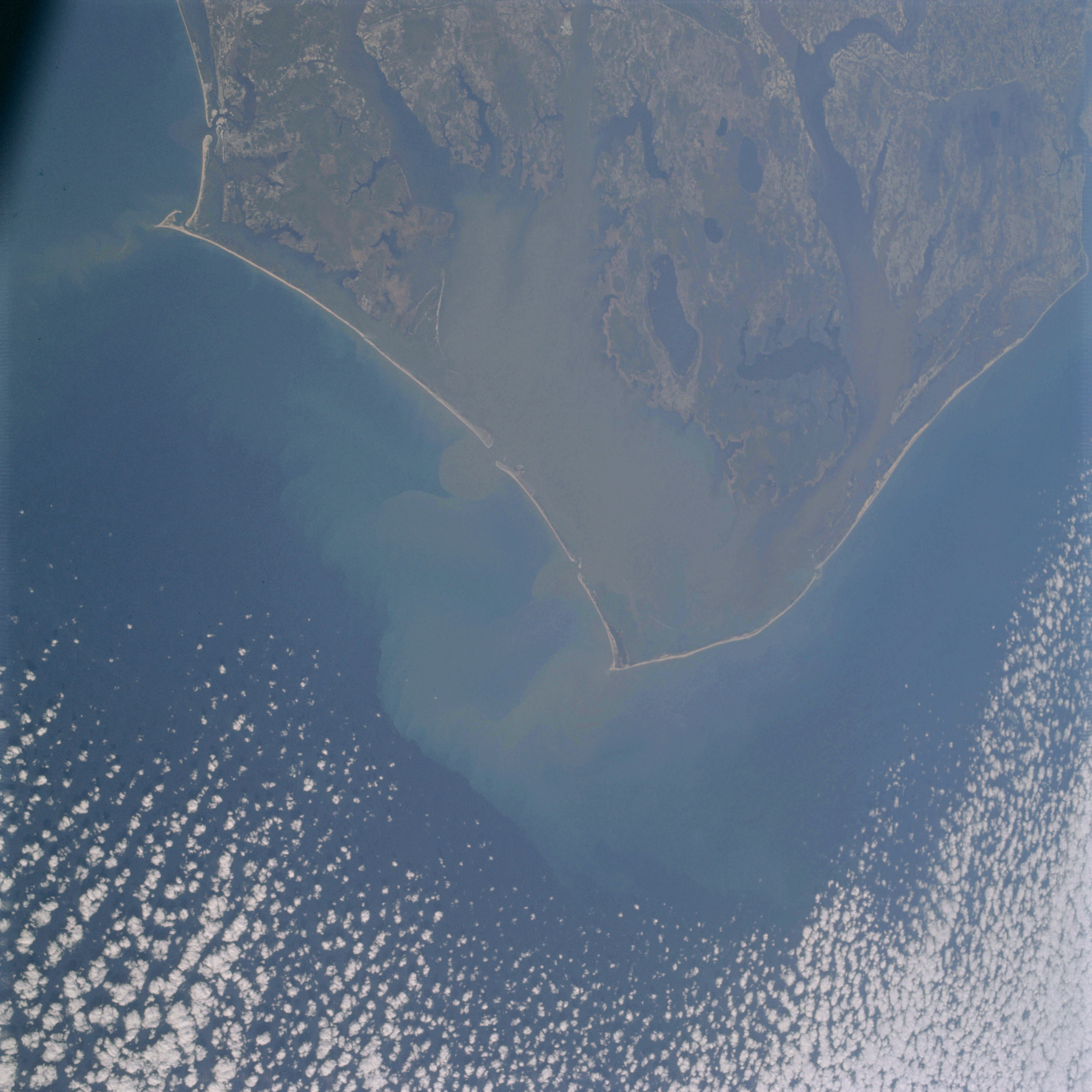 | AS09-20-3128 GEOGRAPHY/CARTOGRAPHY: United States, North Carolina, Capes Lookout, Hatteras and Henry, Pamilco and Albemarle Sounds, Morehead City, Elizabeth City, Virginia Beach and Norfolk. GEOLOGY/HYDROLOGY: Coastal plain region. AGRICULTURE: Scattered field patterns. FORESTRY: Coastal marsh grass with lowland hardwood forests. METEOROLOGY: Alto-cumulus. OCEANOGRAPHY: Atlantic Ocean, sedimentation patterns in the nearshore shore. Image credit: Image Science and Analysis Laboratory, NASA-Johnson Space Center. |
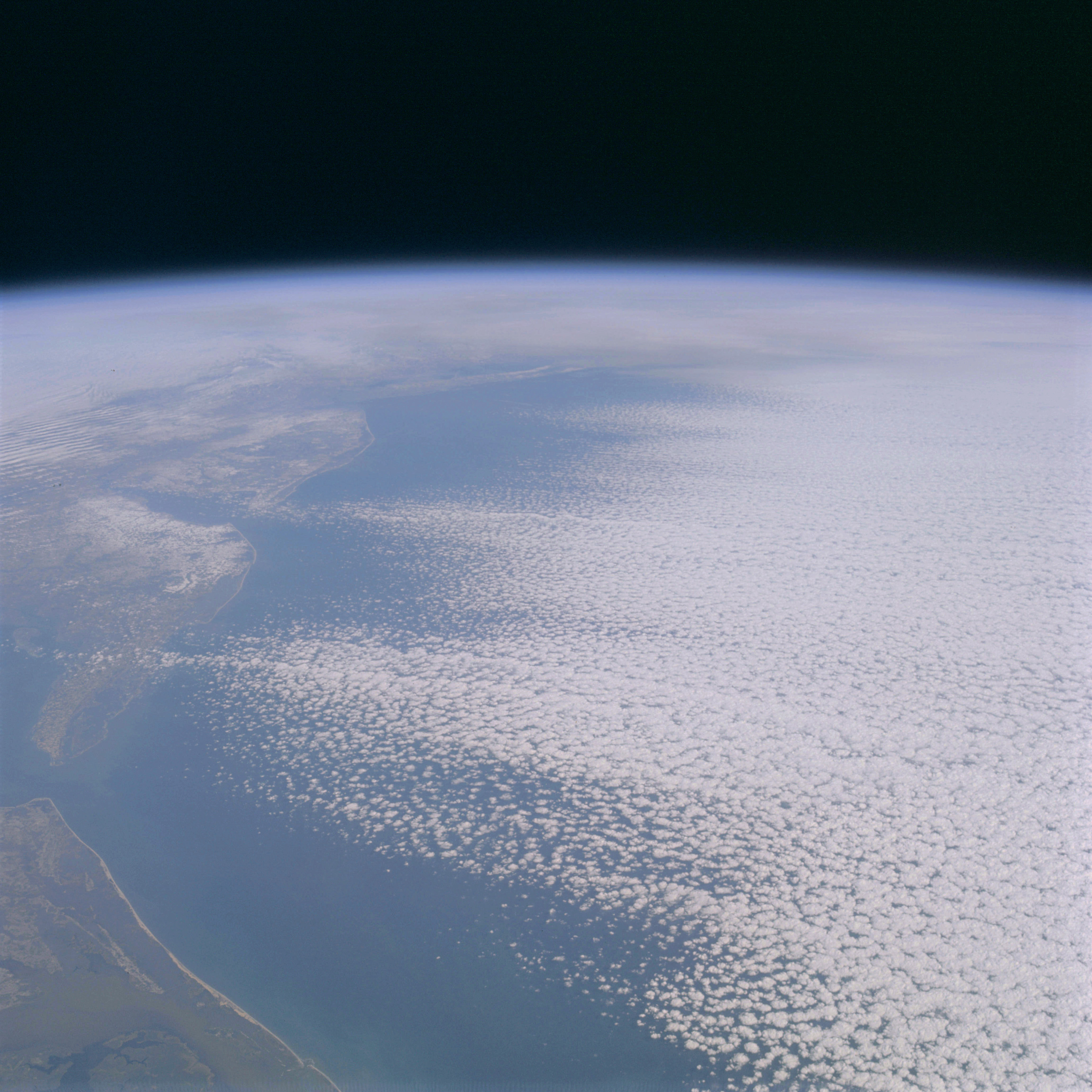 | AS09-20-3129 GEOGRAPHY/CARTOGRAPHY: United States, North Carolina looking north to Long Island and New England, Capes Henry, Charles, Henlopen and May, Chesapeake and Delaware Bays, Norfolk. GEOLOGY/HYDROLOGY: Coastal plain region. FORESTRY: Coastal marsh grass. METEOROLOGY: Alto-cumulus, strato-cumulus, snow cover in Delaware and portions of New Jersey. OCEANOGRAPHY: Atlantic Ocean, some sediment patterns visible. Image credit: Image Science and Analysis Laboratory, NASA-Johnson Space Center. |
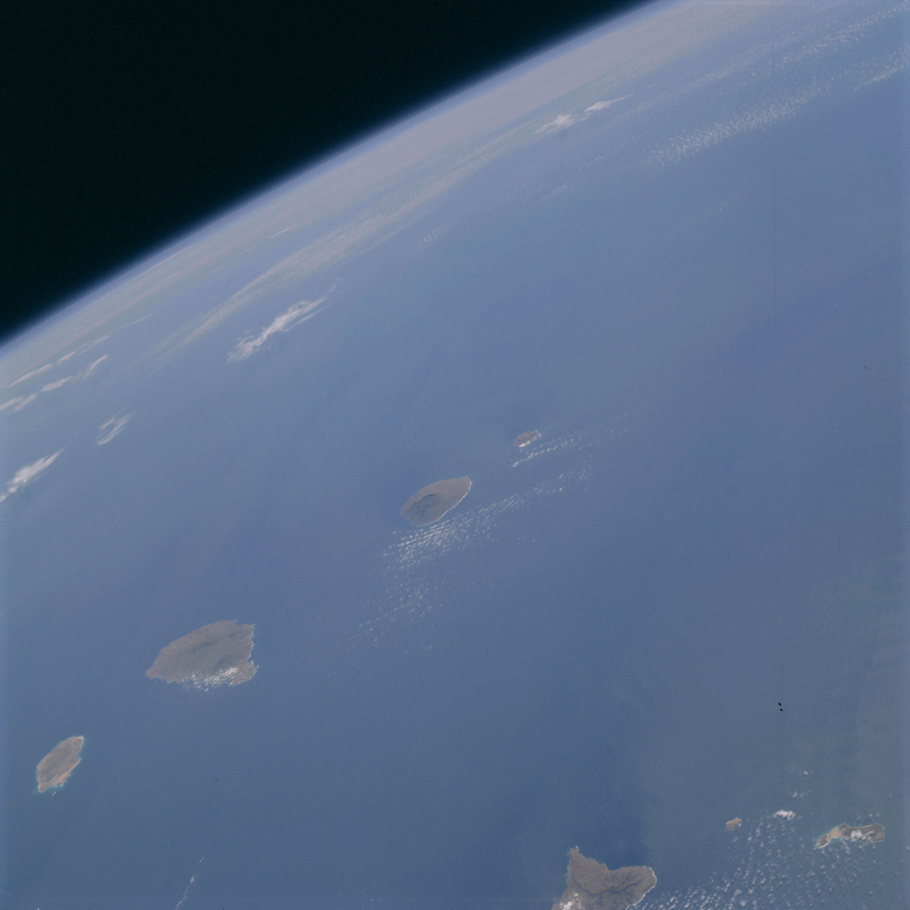 | AS09-20-3130 GEOGRAPHY/CARTOGRAPHY: Cape Verde Islands, Fogo, Sao Tiago, and Maio Islands, Point Vermelharia, Villages of Sao Filips, Praia Tarrafal and Santo Antinio. GEOLOGY/HYDROLOGY: Volcanic island chain. METEOROLOGY: Cirro-cumulus. OCEANOGRAPHY: East Atlantic Ocean, some current patterns visible near the islands. Image credit: Image Science and Analysis Laboratory, NASA-Johnson Space Center. |
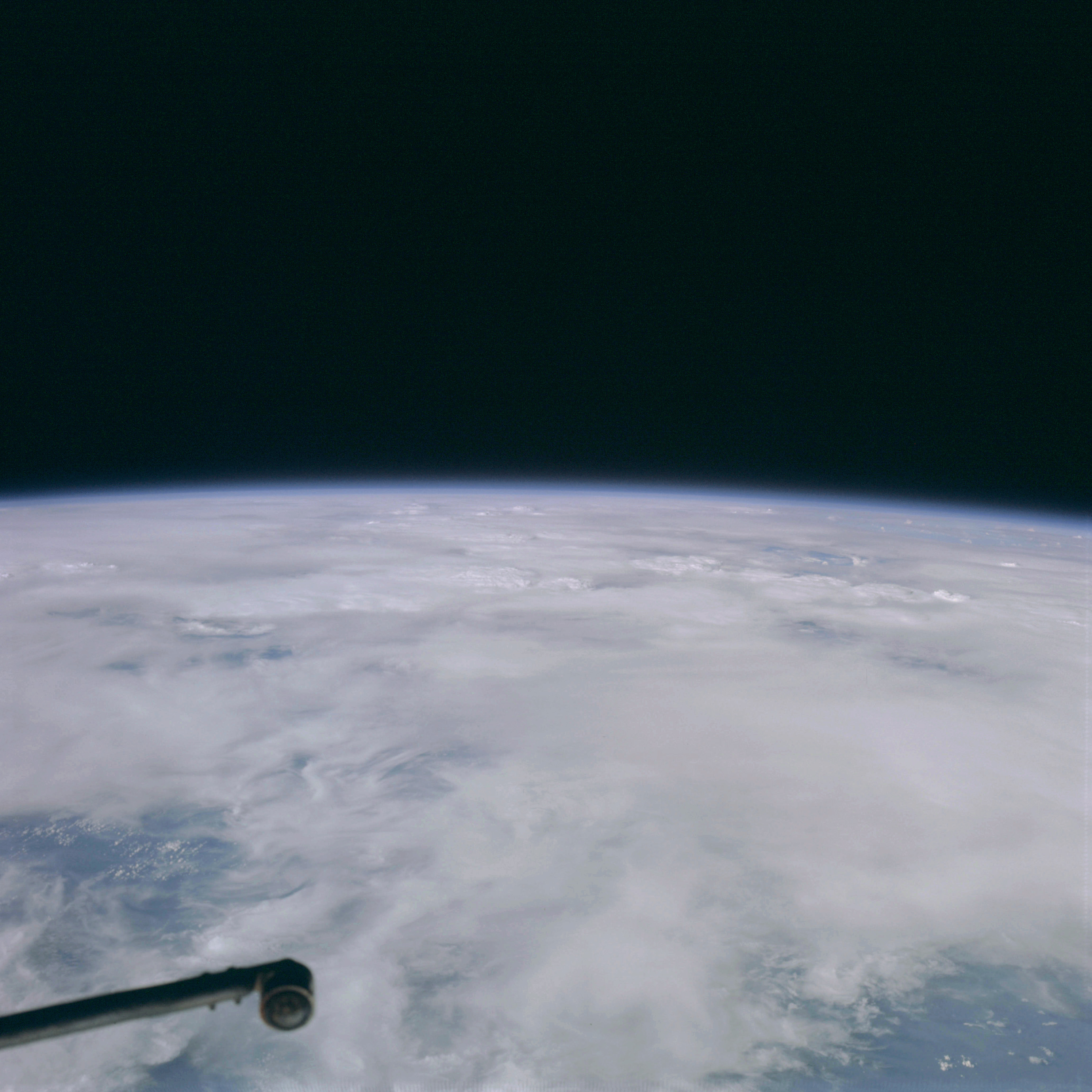 | AS09-20-3131 GEOGRAPHY/CARTOGRAPHY: Africa, Gulf of Guinea. METEOROLOGY: Alto-stratus, cumulo-nimbus, cirrus. Image credit: Image Science and Analysis Laboratory, NASA-Johnson Space Center. |
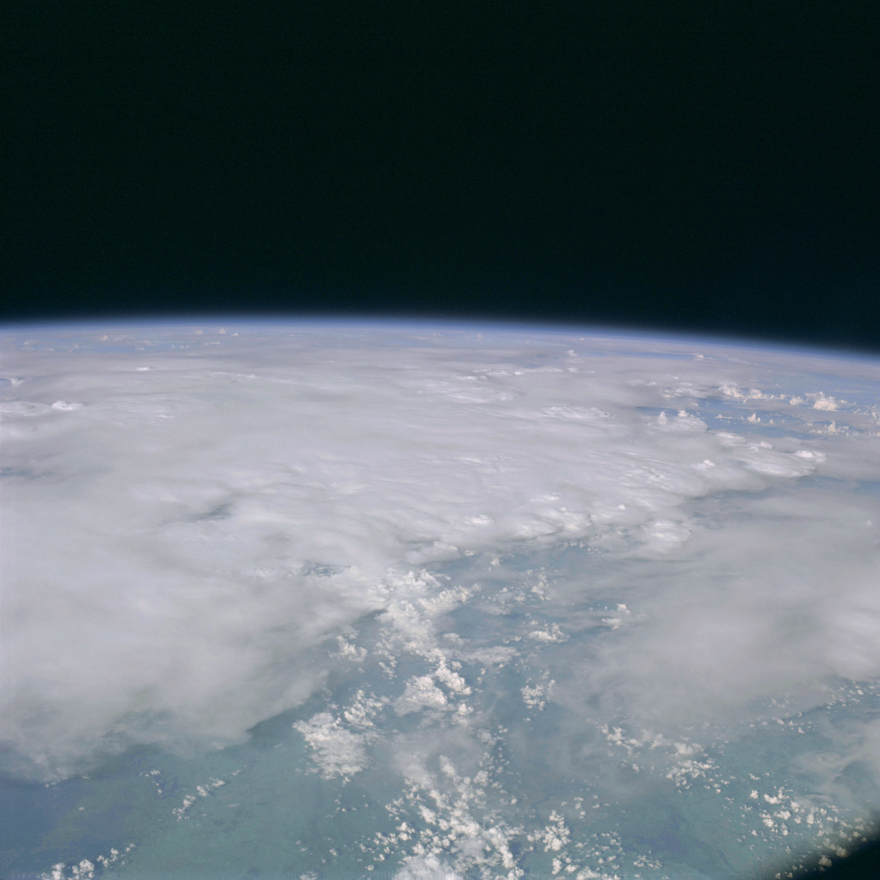 | AS09-20-3132 GEOGRAPHY/CARTOGRAPHY: Africa, Gulf of Guinea. GEOLOGY/HYDROLOGY: Sedimentary coastal plain. METEOROLOGY: Cirrus, alto-stratus, cumulus humilis, cumulo-nimbus. Image credit: Image Science and Analysis Laboratory, NASA-Johnson Space Center. |
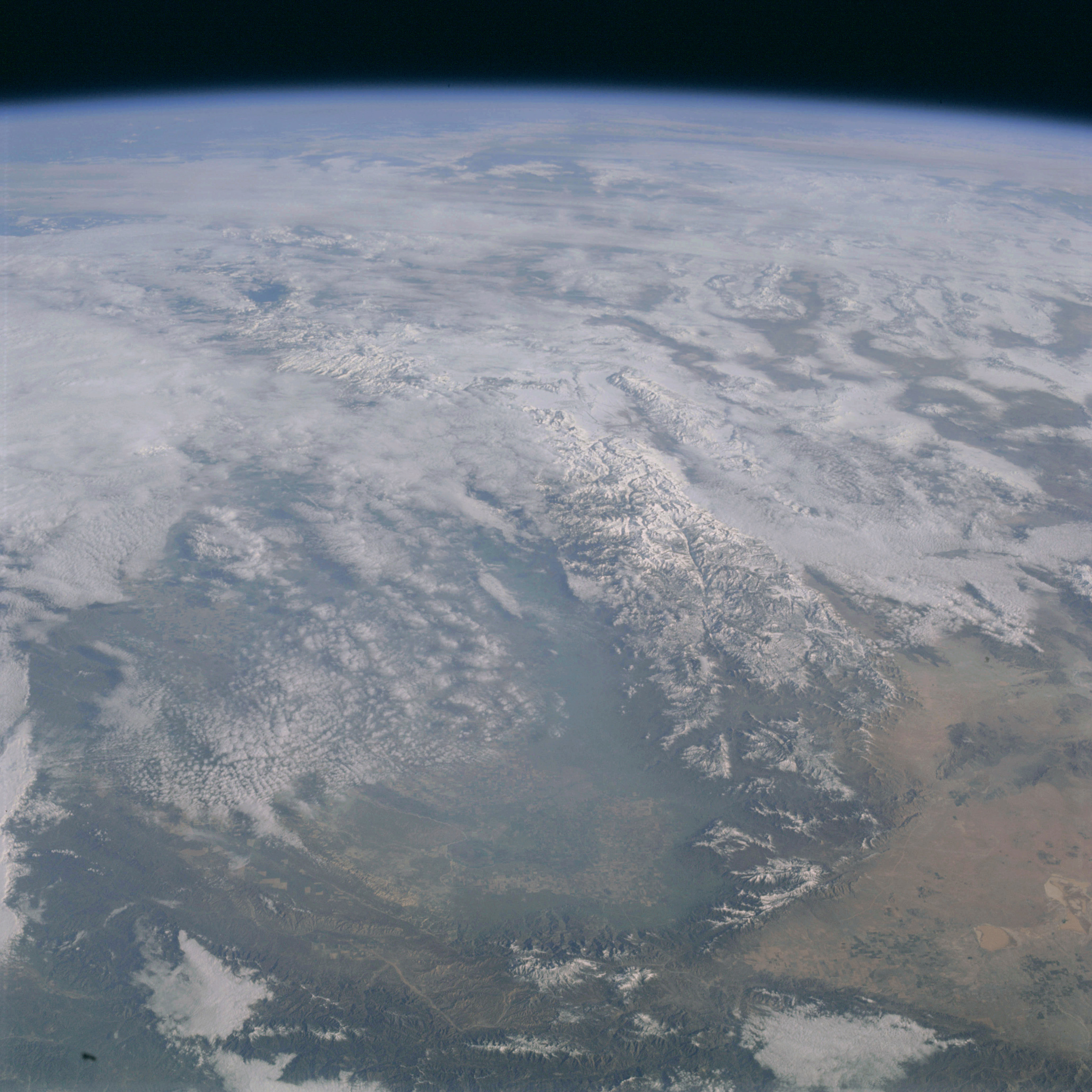 | AS09-20-3133 GEOGRAPHY/CARTOGRAPHY: United States, California, Nevada, Sierra Nevada, Death Valley, Mojave Desert, San Joaquin Valley, Rosamond and Rogers Lakes, Bakersfield. GEOLOGY/HYDROLOGY: Complex igneous mountain ranges and alluvial lowland plains. AGRICULTURE: Several areas of heavy cultivation. FORESTRY: Desert shrubform with mixed conifer at higher elevations. METEOROLOGY: Alto-cumulus, strato-cumulus, nimbo-stratus, extensive snow cover in mountain and higher plateau areas. Image credit: Image Science and Analysis Laboratory, NASA-Johnson Space Center. |
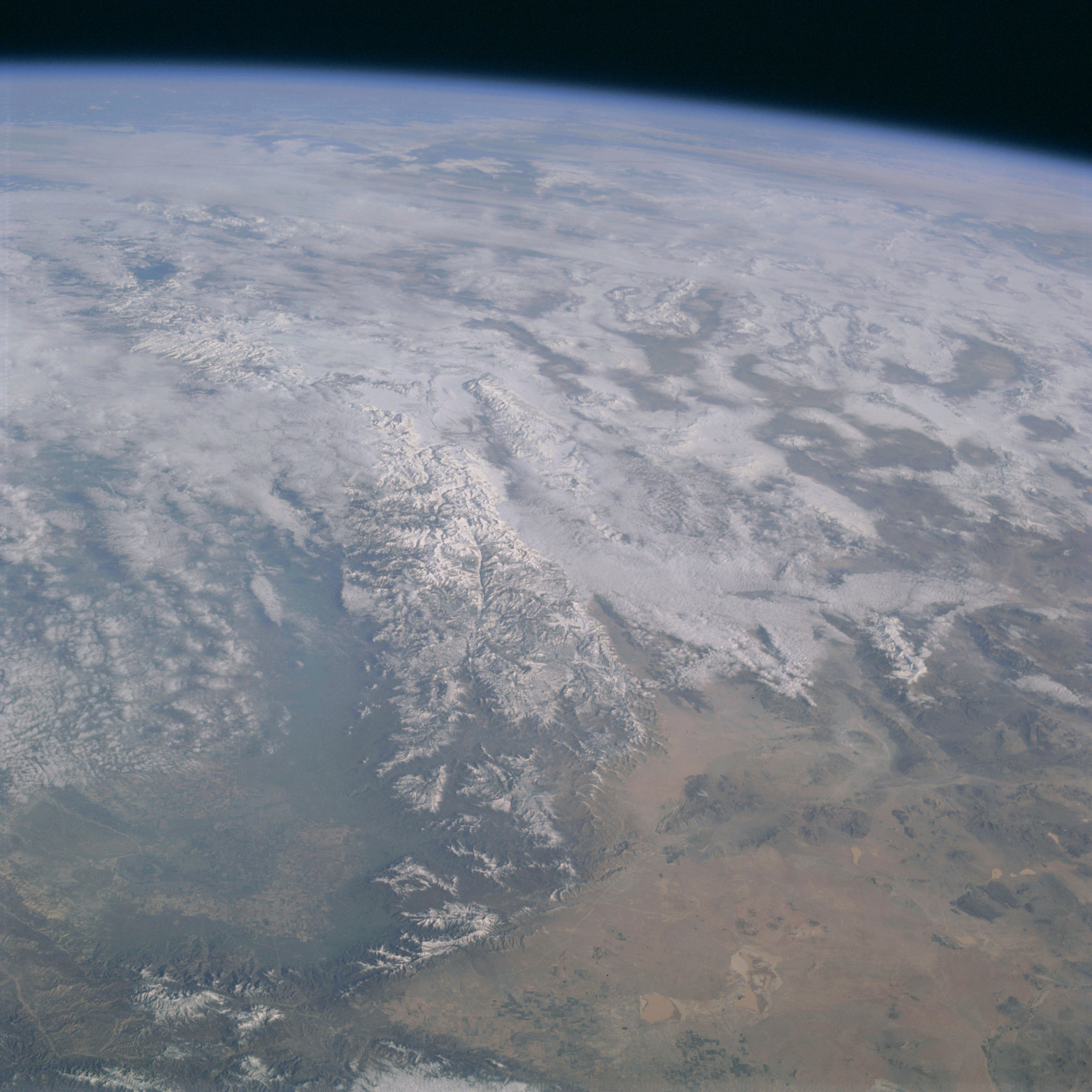 | AS09-20-3134 GEOGRAPHY/CARTOGRAPHY: United States, California, Nevada looking northeast, Sierra Nevada, Mojave Desert, Death Valley, San Joaquin Valley, Rosamond and Rogers Lakes, Bakersfield. GEOLOGY/HYDROLOGY: Complex igneous mountain ranges and fertile alluvial plains. AGRICULTURE: Several large concentrations of field patterns. FORESTRY: Desert shrubform with mixed conifers at higher elevations. METEOROLOGY: Strato-cumulus, alto-cumulus, extensive snow cover in mountain and higher plateau areas. Image credit: Image Science and Analysis Laboratory, NASA-Johnson Space Center. |
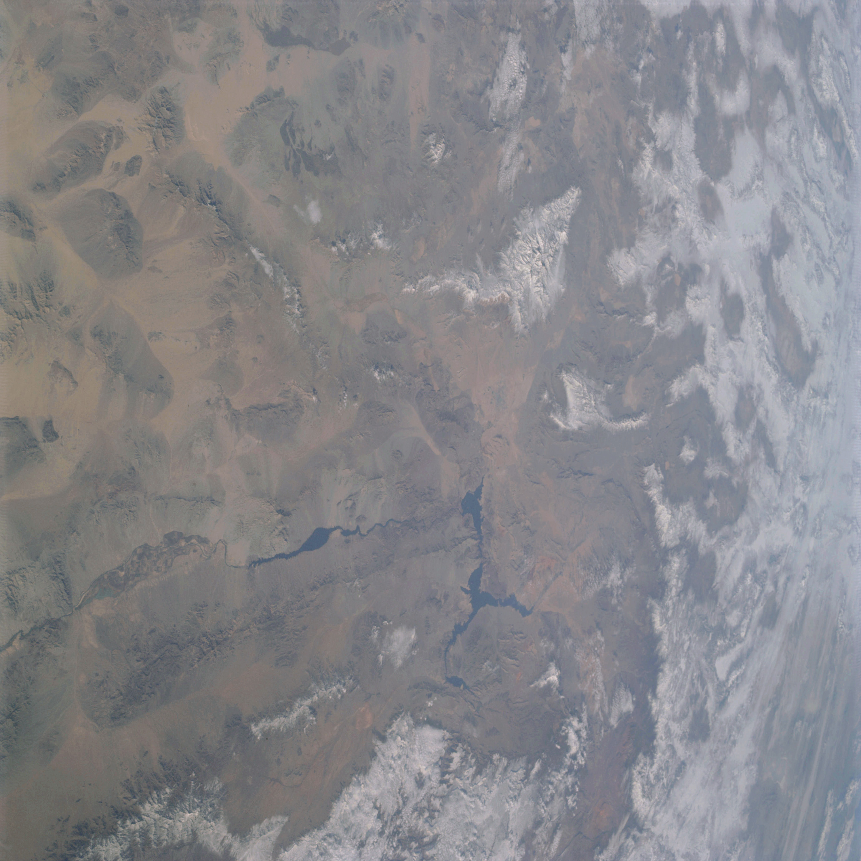 | AS09-20-3135 GEOGRAPHY/CARTOGRAPHY: United States, Nevada, California, Utah, Lake Mead, Colorado River, Great Basin Mountain Ranges, Las Vegas. GEOLOGY/HYDROLOGY: Complex igneous mountains, tertiary volcanics and alluvial deposits. AGRICULTURE: Heavy concentration of cultivated field patterns along Colorado River. FORESTRY: Desert shrubform with mixed conifers at higher elevations. METEOROLOGY: Cirrus, snow cover in mountain and high plateau areas. Image credit: Image Science and Analysis Laboratory, NASA-Johnson Space Center. |
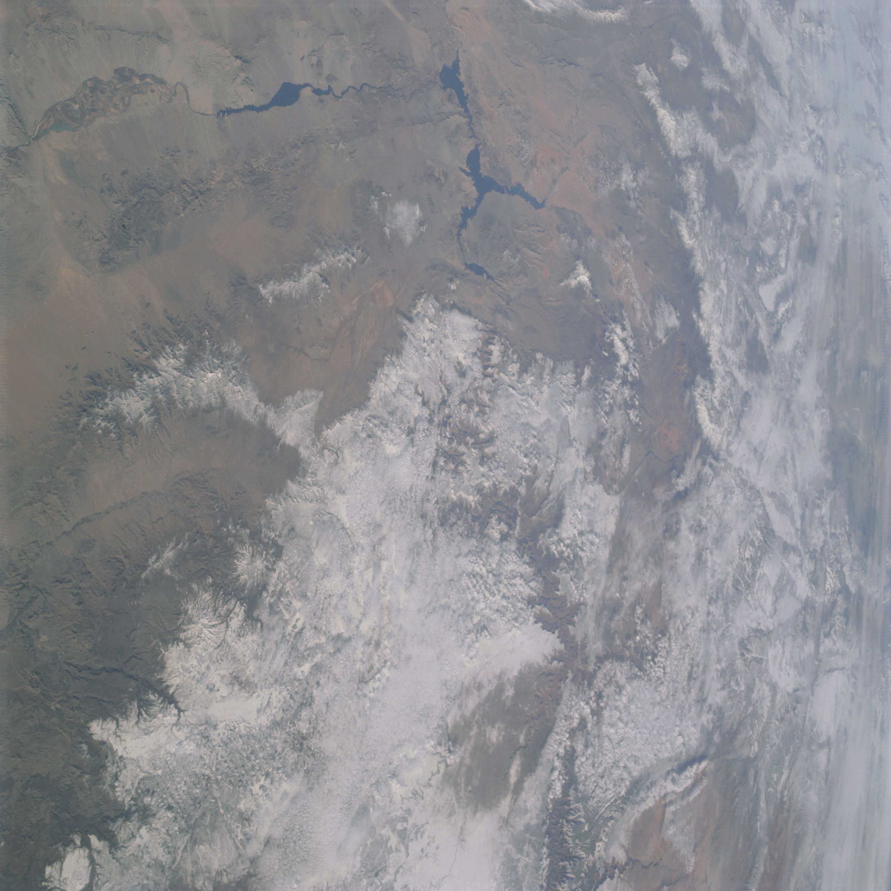 | AS09-20-3136 GEOGRAPHY/CARTOGRAPHY: United States, Nevada Arizona, Utah, Lake Mead, Colorado River, Great Basin Mountain Ranges, Black and Hualpai Mountains. GEOLOGY/HYDROLOGY: Complex igneous mountains, tertiary volcanics and alluvial basins. AGRICULTURE: Field patterns along Colorado River. FORESTRY: Desert shrubform with mixed conifers at higher elevations. METEOROLOGY: Alto-cumulus, strato-cumulus, snow cover in mountains and higher plateau areas. Image credit: Image Science and Analysis Laboratory, NASA-Johnson Space Center. |
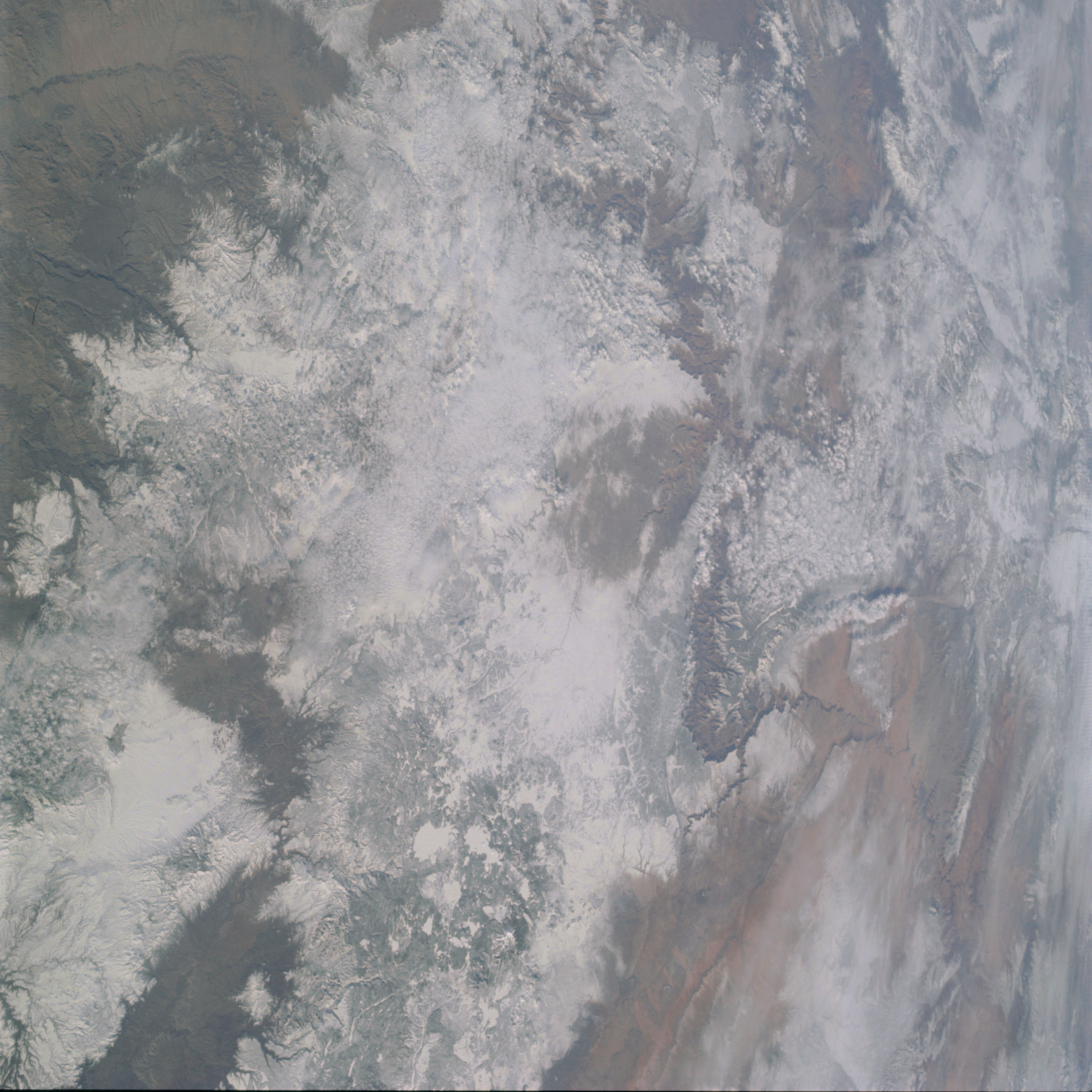 | AS09-20-3137 GEOGRAPHY/CARTOGRAPHY: United States, Arizona, Utah, Colorado River, Grand Canyon, Coconino Plateau, Juniper Mountains, Town of Prescott. GEOLOGY/HYDROLOGY: Basement complex mountains, tertiary volcanics and alluvial deposits. AGRICULTURE: Range lands. FORESTRY: Mixed conifers. METEOROLOGY: Strato-cumulus. Image credit: Image Science and Analysis Laboratory, NASA-Johnson Space Center. |
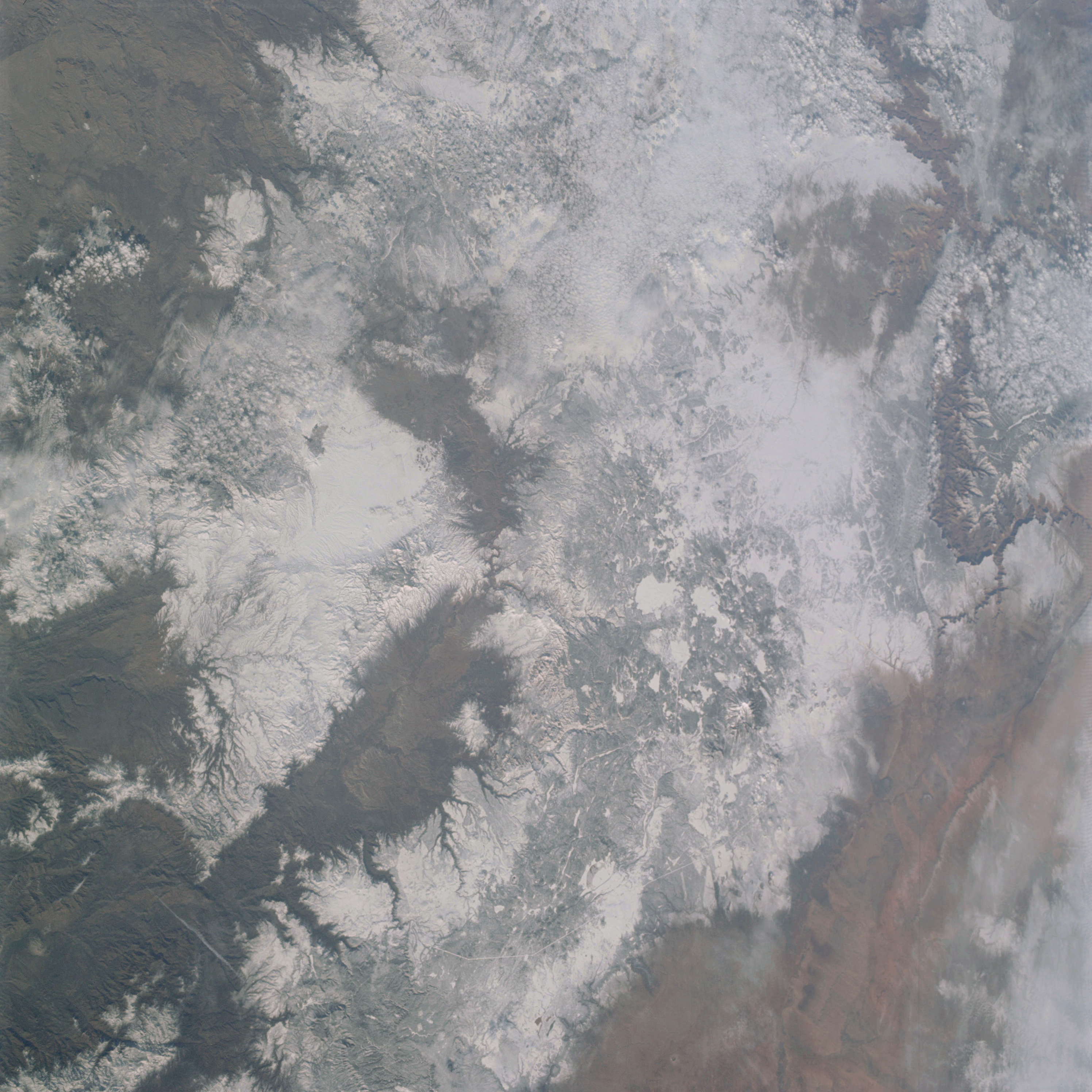 | AS09-20-3138 GEOGRAPHY/CARTOGRAPHY: United States, Arizona, Utah, Colorado River, Grand Canyon, Coconino Plateau, San Francisco Peaks, Mogollon Rim, Towns of Prescott and Flagstaff. GEOLOGY/HYDROLOGY: Basement complex mountains, tertiary volcanics and alluvial plains. AGRICULTURE: Grazing land. FORESTRY: Mixed stands of conifers. METEOROLOGY: Strato-cumulus, snow cover in mountain and high plateau areas. Image credit: Image Science and Analysis Laboratory, NASA-Johnson Space Center. |
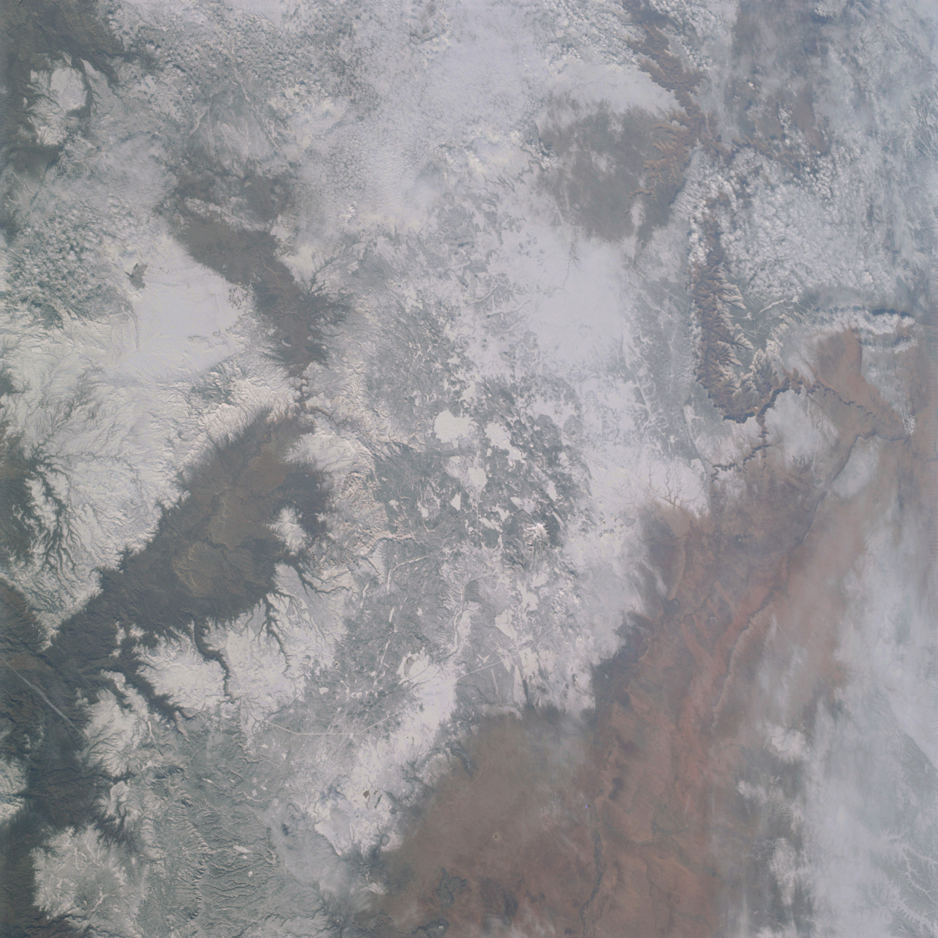 | AS09-20-3139 GEOGRAPHY/CARTOGRAPHY: United States, Arizona, Utah, Colorado, and Little Colorado Rivers, Colorado Plateau, Painted Desert, Grand Canyon, Glen Canyon Reservoir, Mogollon Rim, Town of Flagstaff. GEOLOGY/HYDROLOGY: Basement complex mountains, tertiary volcanics and alluvial plains. AGRICULTURE: Grazing lands. FORESTRY: Mixed conifer stands. METEOROLOGY: Strato-cumulus, snow cover in mountain and high plateau areas. Image credit: Image Science and Analysis Laboratory, NASA-Johnson Space Center. |
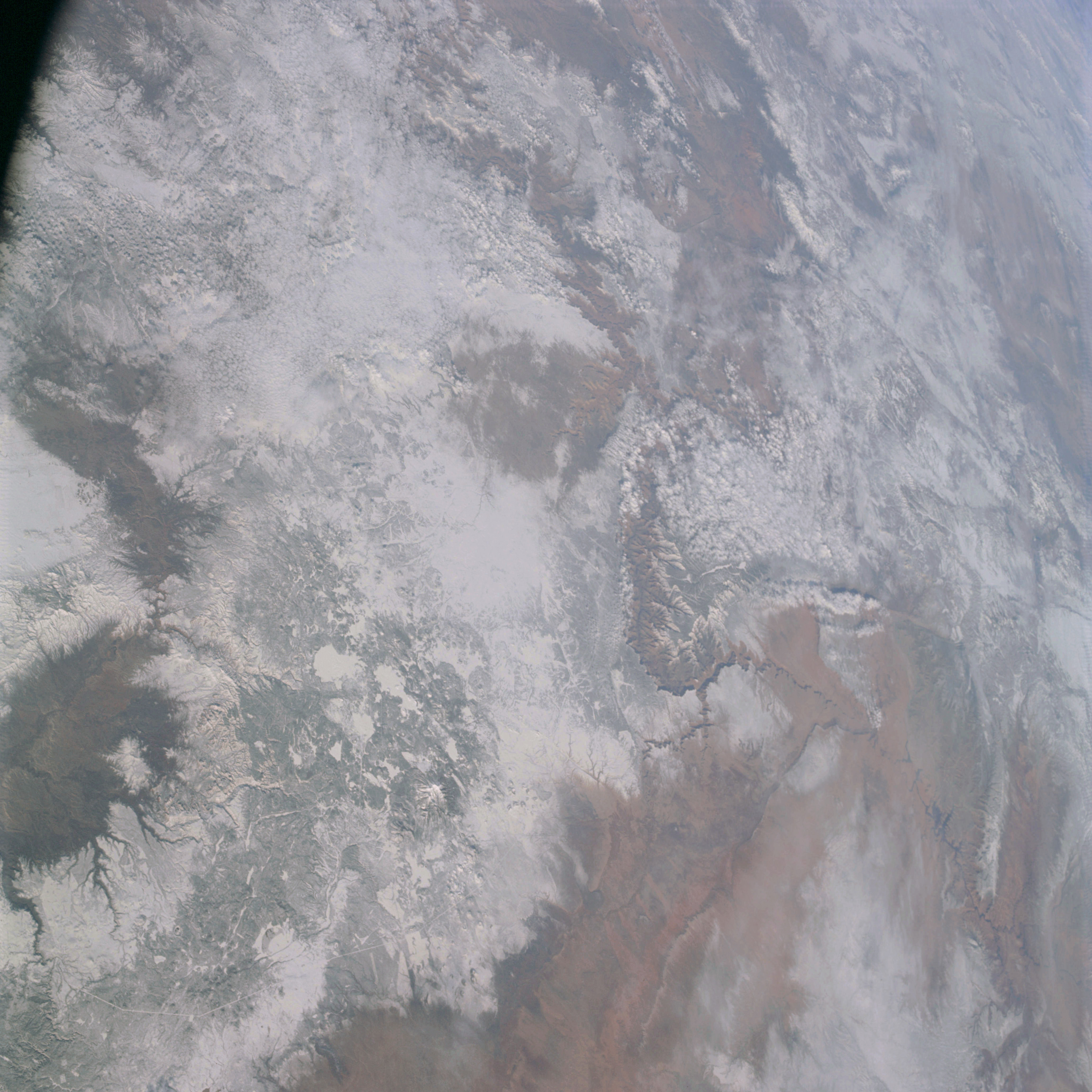 | AS09-20-3140 GEOGRAPHY/CARTOGRAPHY: United States, Arizona, Utah, Colorado River, Colorado Plateau, Painted Desert, Grand Canyon, Mogollon Rim, San Francisco Peaks, Town of Flagstaff. GEOLOGY/HYDROLOGY: Basement complex mountains, tertiary volcanics and alluvial plains. AGRICULTURE: Grazing lands. FORESTRY: Mixed conifers. METEOROLOGY: Strato-cumulus, snow cover in mountain and high plateau areas. Image credit: Image Science and Analysis Laboratory, NASA-Johnson Space Center. |
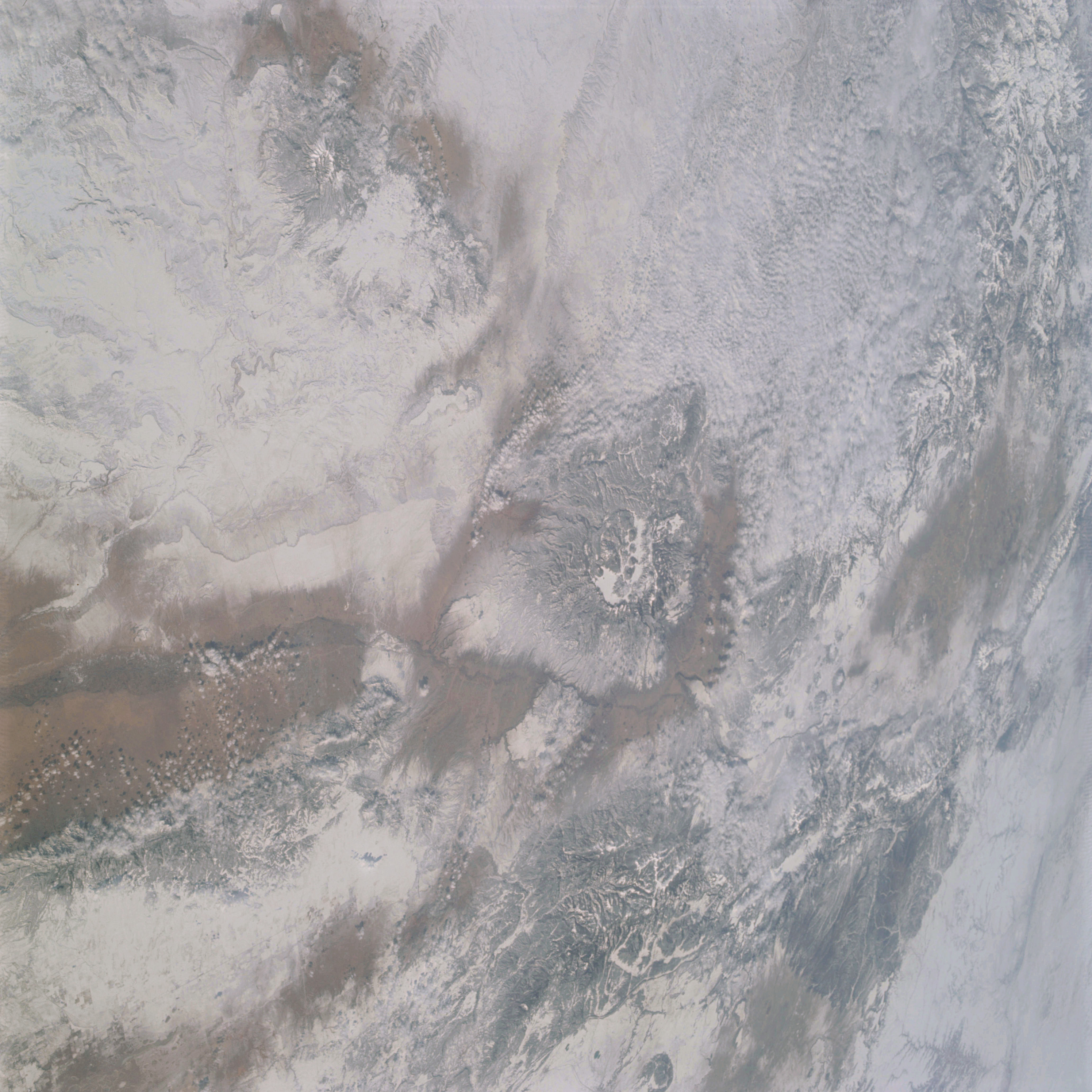 | AS09-20-3141 GEOGRAPHY/CARTOGRAPHY: United States, New Mexico, Colorado, Rio Grande River, San Juan, Manzano, and Sangre De Cristo Mountains, Colorado Plateau, Cities of Albuquerque and Santa Fe. GEOLOGY/HYDROLOGY: Basin and Range Provinces of tertiary volcanics and alluvial plains. AGRICULTURE: Grazing lands. FORESTRY: Mixed conifer. METEOROLOGY: Strato-cumulus, cumulus humilis, snow cover in mountain and high plateau areas. Image credit: Image Science and Analysis Laboratory, NASA-Johnson Space Center. |
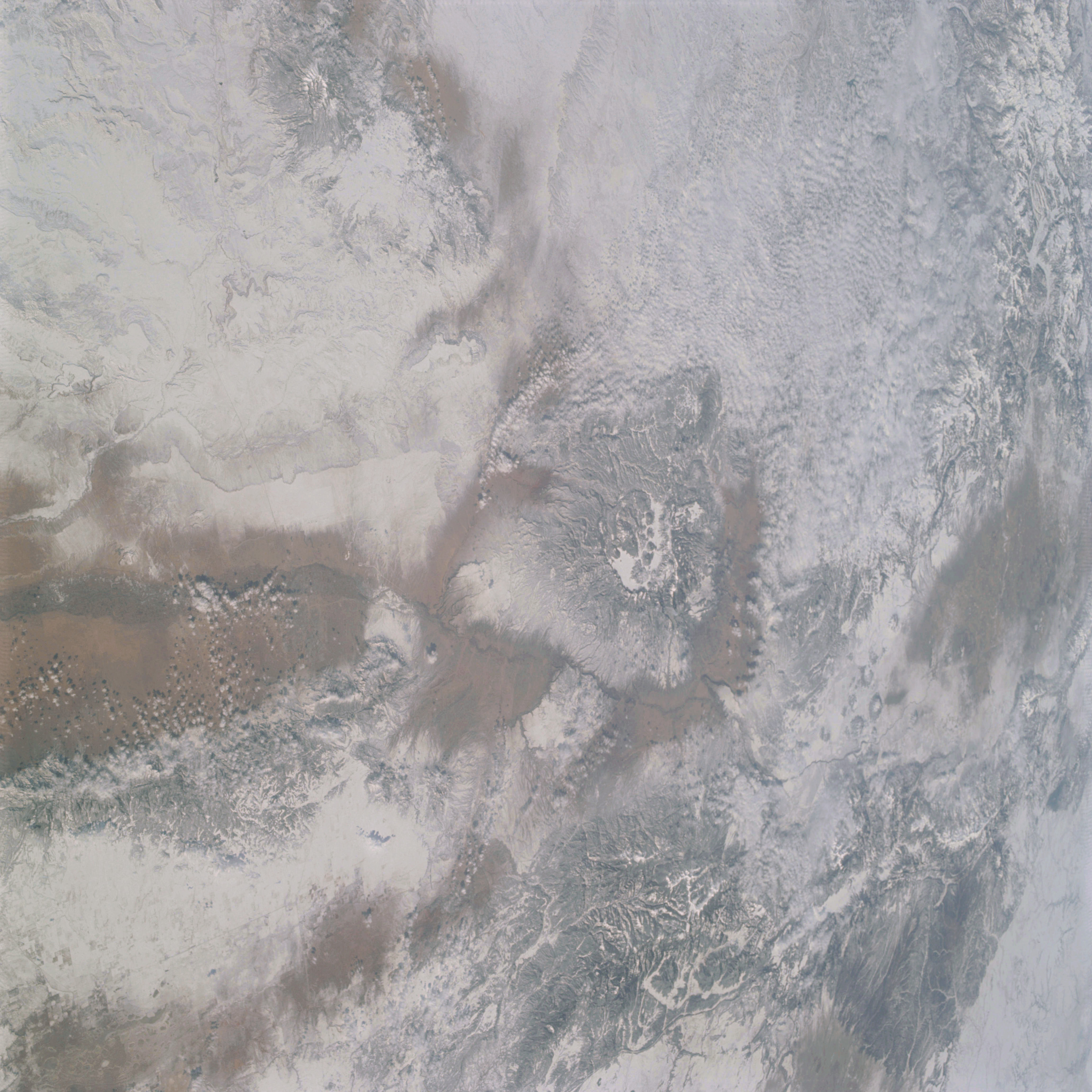 | AS09-20-3142 GEOGRAPHY/CARTOGRAPHY: United States, New Mexico, Colorado, Rio Grande River, San Juan, Manzano, and Sangre de Cristo Mountains, Colorado Plateau, Cities of Albuquerque and Santa Fe. GEOLOGY/HYDROLOGY: Basin end Range Provinces of tertiary volcanics and alluvial plains. AGRICULTURE: Grazing lands. FORESTRY: Mixed conifers. METEOROLOGY: Strato-cumulus, cumulus humilis, smow cover in mountain and high plateau areas. Image credit: Image Science and Analysis Laboratory, NASA-Johnson Space Center. |
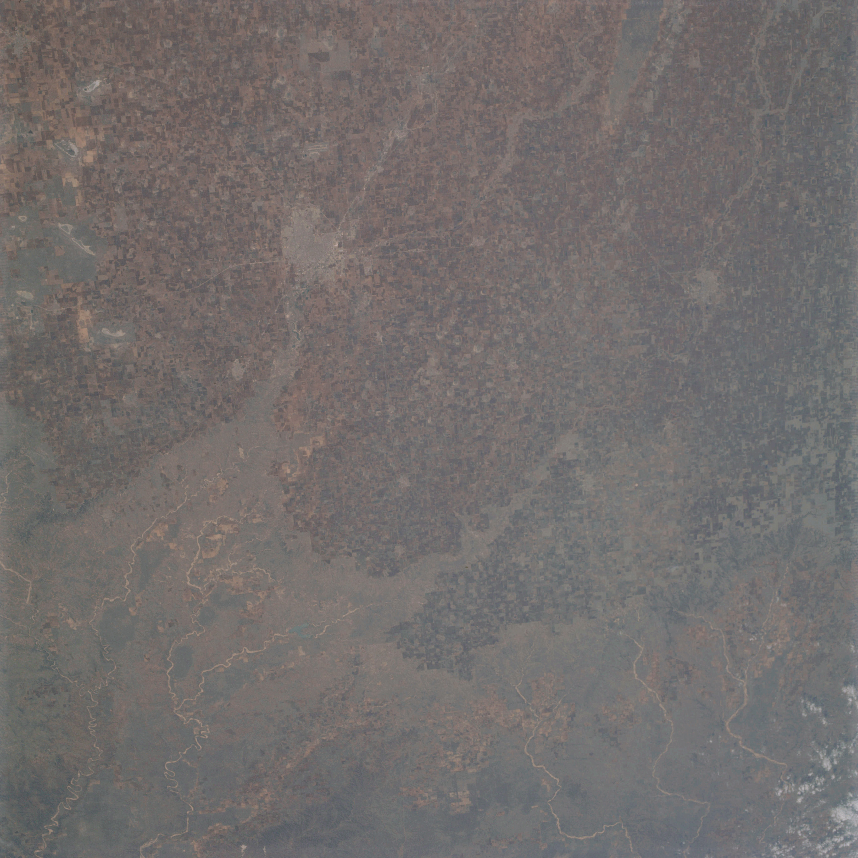 | AS09-20-3143 GEOGRAPHY/CARTOGRAPHY: United States, Texas, Estacado Plain, Cities of Lubbock and Plainview. GEOLOGY/HYDROLOGY: Sedimentary elevated limestone plains capping the lower gypsum and red bed plains. AGRICULTURE: Heavy field pattern concentration, extensive cultivation. FORESTRY: Grass lands with scattered shrubform. METEOROLOGY: Cirro-cumulus. Image credit: Image Science and Analysis Laboratory, NASA-Johnson Space Center. |
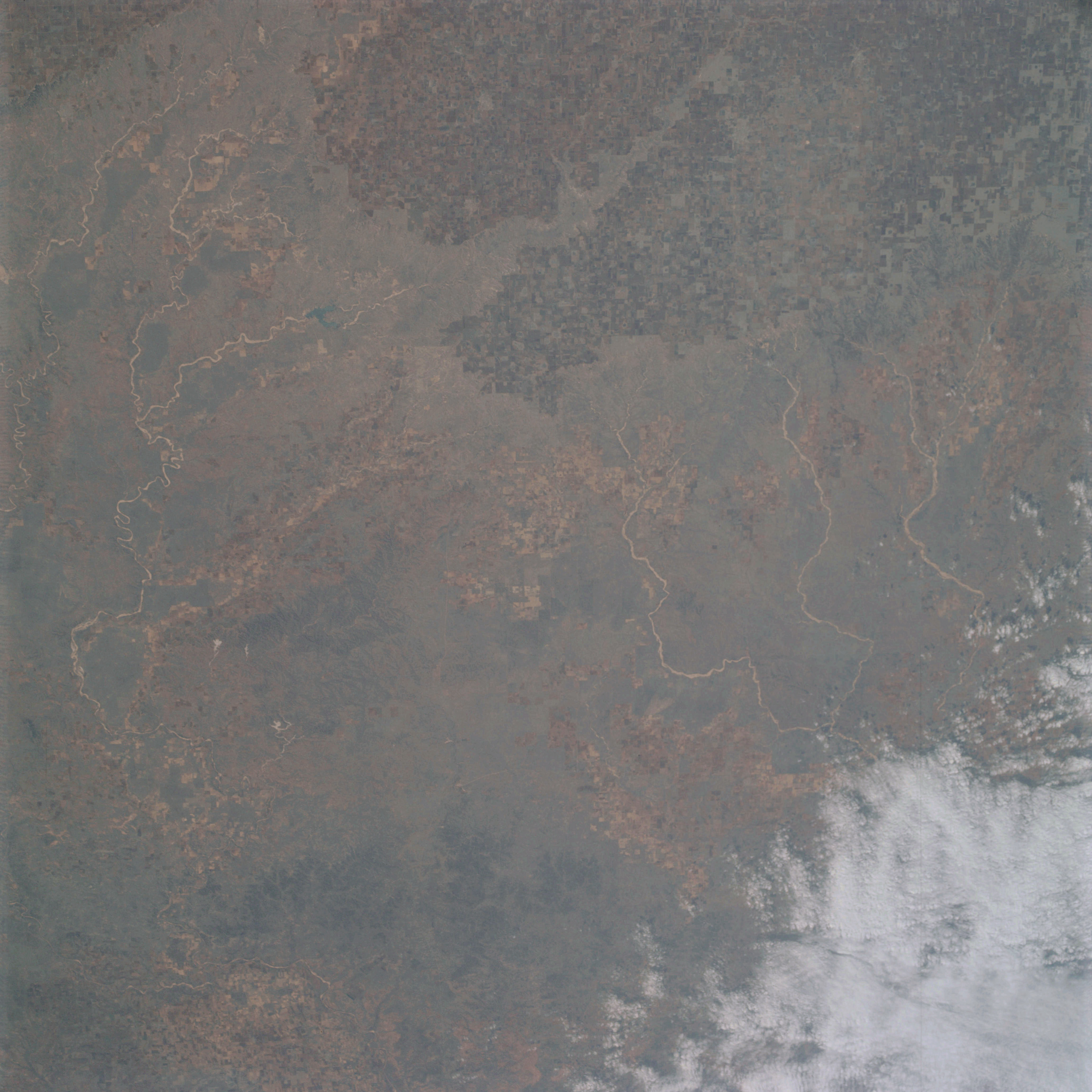 | AS09-20-3144 GEOGRAPHY/CARTOGRAPHY: United Stares, Texas, Caprock Escarpment, White River, Area east of Lubbock. GEOLOGY/HYDROLOGY: Sedimentary elevated limestone plains capping the lower gypsum and red bed plains. AGRICULTURE: Heavy field pattern concentration, extensive cultivation. FORESTRY: Grass lands with scattered shrubform. METEOROLOGY: Cirro-cumulus. Image credit: Image Science and Analysis Laboratory, NASA-Johnson Space Center. |
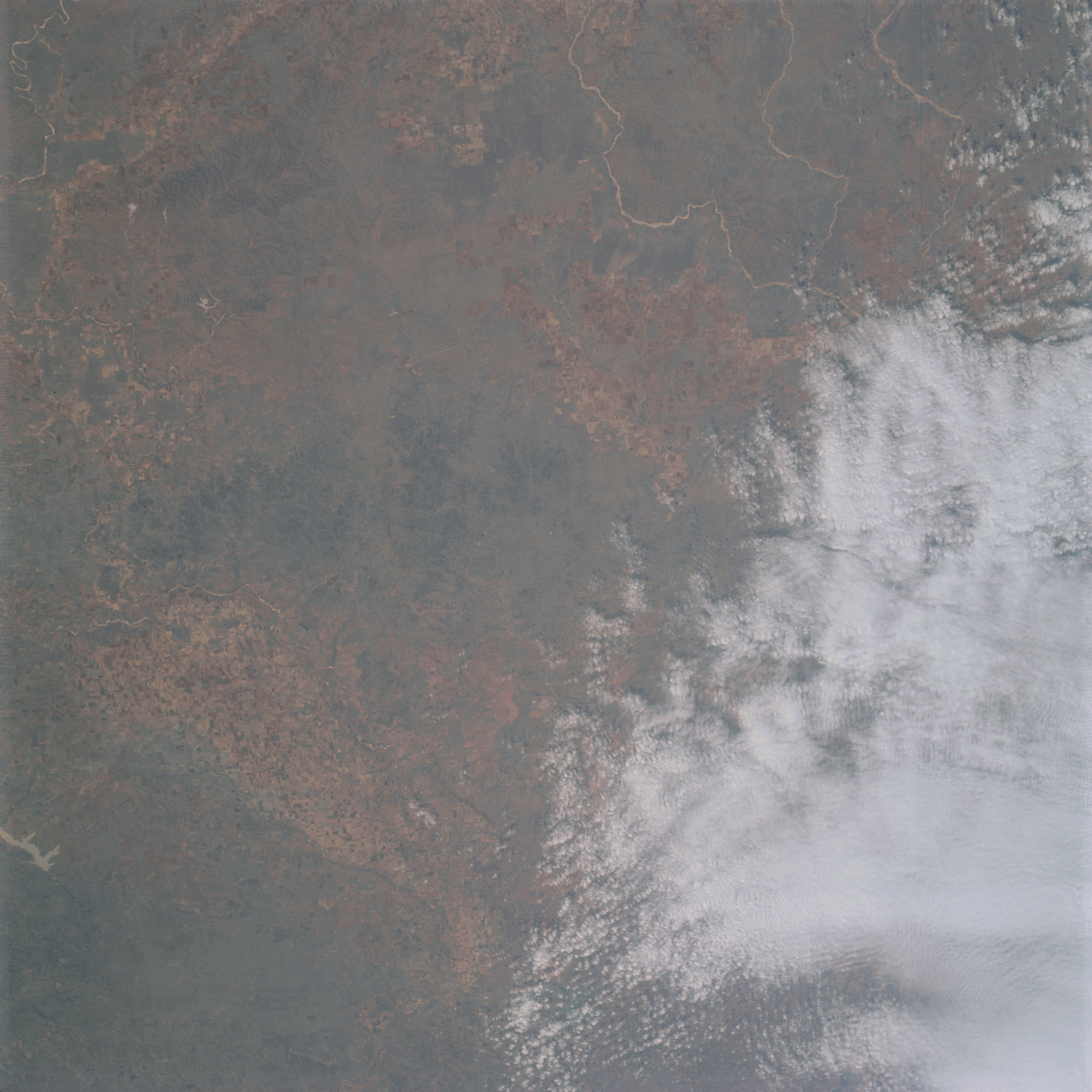 | AS09-20-3145 GEOGRAPHY/CARTOGRAPHY: United States, Texas, Caprock Escarpment, White and Pease Rivers. GEOLOGY/HYDROLOGY: Limestone elevated limestone plains capping the lower gypsum and redbed plains. AGRICULTURE: Heavy field pattern concentration, extensive cultivation. FORESTRY: Grasslands with scattered shrubform. METEOROLOGY: Cirro-cumulus, alto-cumulus. Image credit: Image Science and Analysis Laboratory, NASA-Johnson Space Center. |
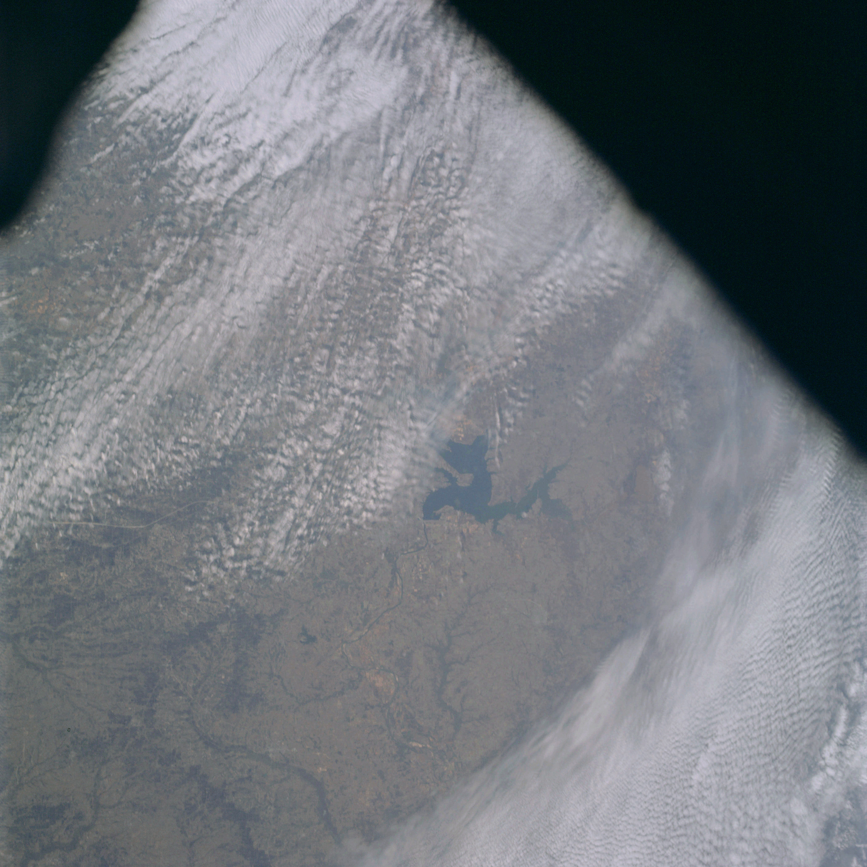 | AS09-20-3146 GEOGRAPHY/CARTOGRAPHY: United States, Texas, Oklahoma, Lake Texoma, Towns of Durant, Denison and Sherman. GEOLOGY/HYDROLOGY: Inland region of the coastal plain. AGRICULTURE: Scattered cultivation, intermixed with range lands. FORESTRY: Grasslands with hardwood bottomlands. METEOROLOGY: Cirro-cumulus. Image credit: Image Science and Analysis Laboratory, NASA-Johnson Space Center. |
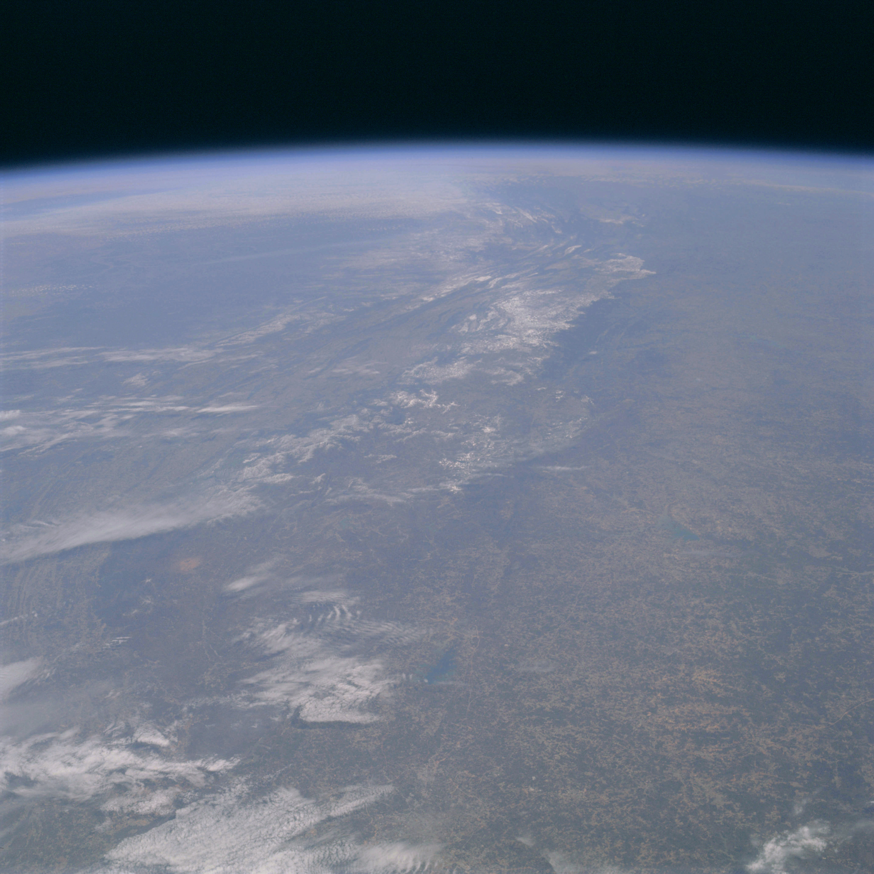 | AS09-20-3147 GEOGRAPHY/CARTOGRAPHY: United States, Appalachian Mountains looking northeast from Birmingham, Alabama into West Virginia, Virginia, Maryland, and Pennsylvania, Cities of Atlanta, Chattanooga, Asheville, and Knoxville. GEOLOGY/HYDROLOGY: Folded Appalachian sedimentary mountains and plateau region. AGRICULTURE: Scattered cultivation intermixed with range land. FORESTRY: .Mixed pine/hardwood stands with primarily hardwood bottomland. METEOROLOGY: Cirro-cumulus. Image credit: Image Science and Analysis Laboratory, NASA-Johnson Space Center. |
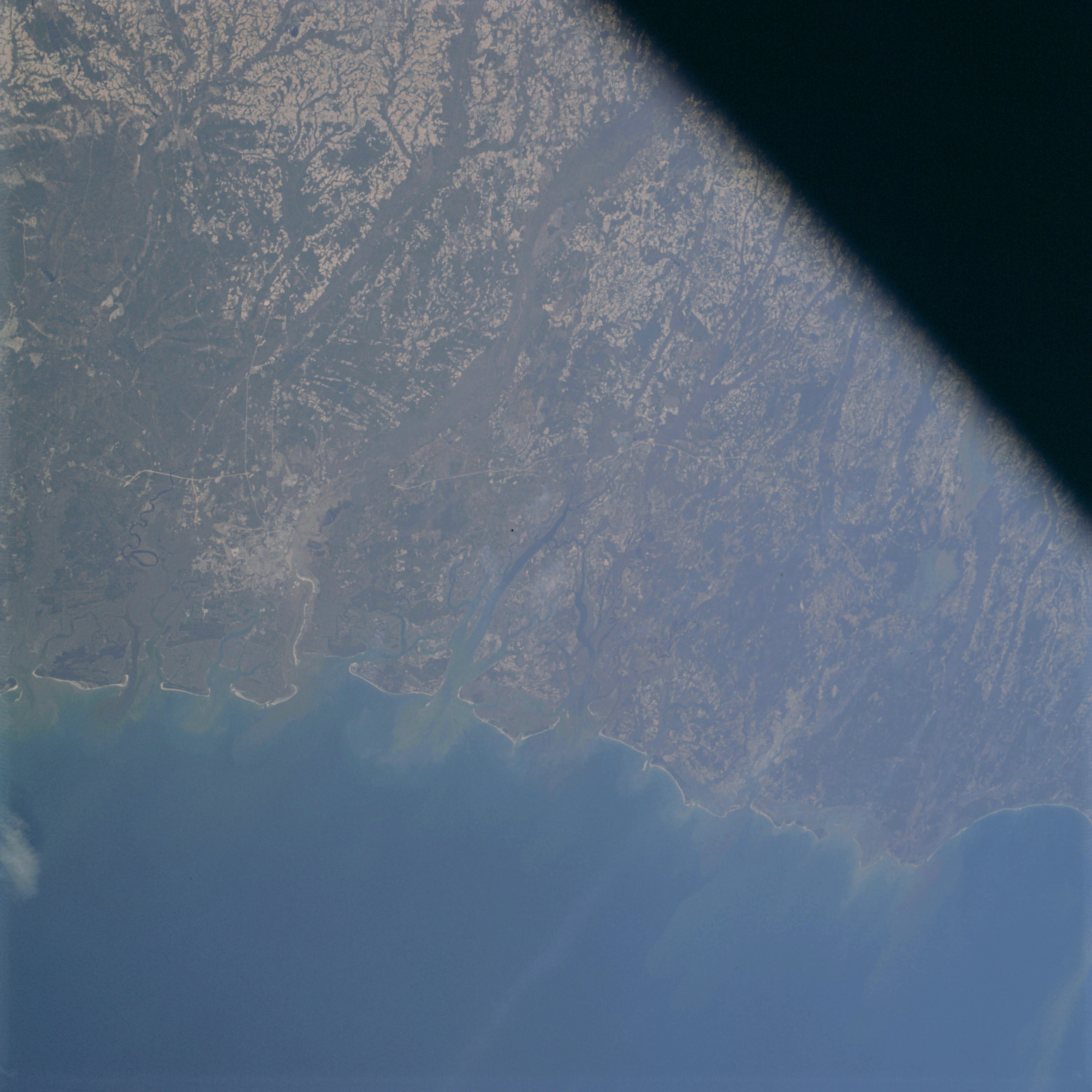 | AS09-20-3148 GEOGRAPHY/CARTOGRAPHY: United States, Georgia,South Carolina, Savannah River, Port Royal and St. Helens Sounds, Lake Moultrie, Cities of Savannah, Charleston and Myrtle Beach. GEOLOGY/HYDROLOGY: Dissected emergence coastal plain region. AGRICULTURE: Extensive cultivation. FORESTRY: .Mixed pine/hardwood with hardwood bottomland. OCEANOGRAPHY: . Image credit: Image Science and Analysis Laboratory, NASA-Johnson Space Center. |
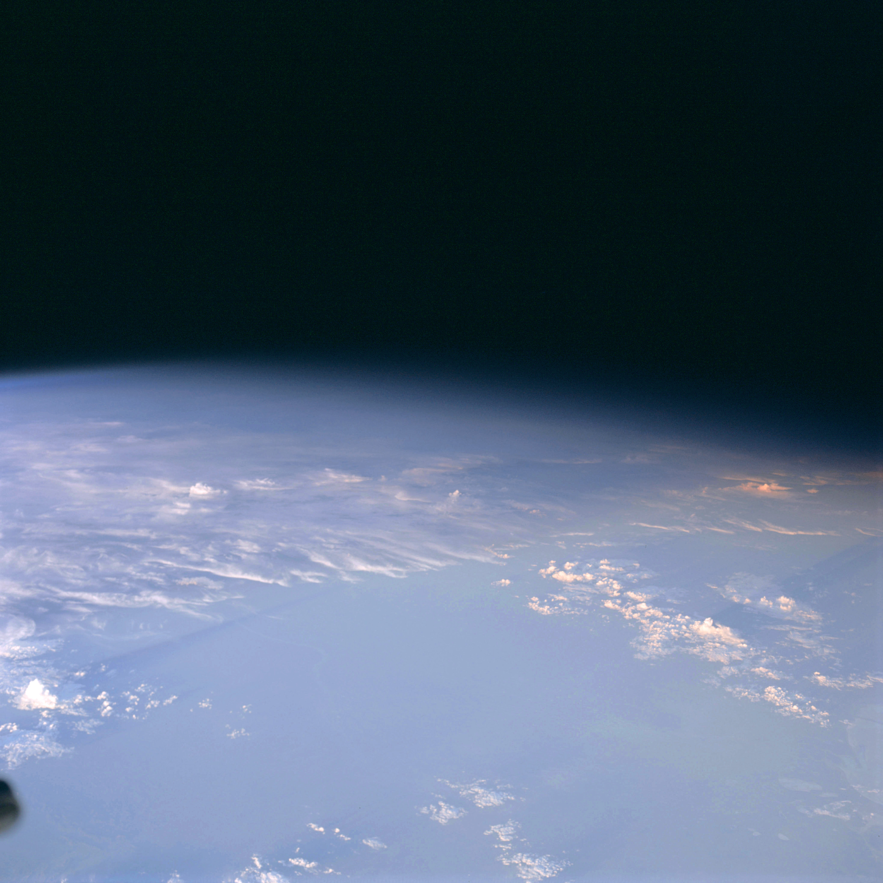 | AS09-20-3149 GEOGRAPHY/CARTOGRAPHY: Southwest Africa near Cape Fria. METEOROLOGY: Cumulo-nimbus, cumulus congestus. OCEANOGRAPHY: Some swell patterns visible. Image credit: Image Science and Analysis Laboratory, NASA-Johnson Space Center. |
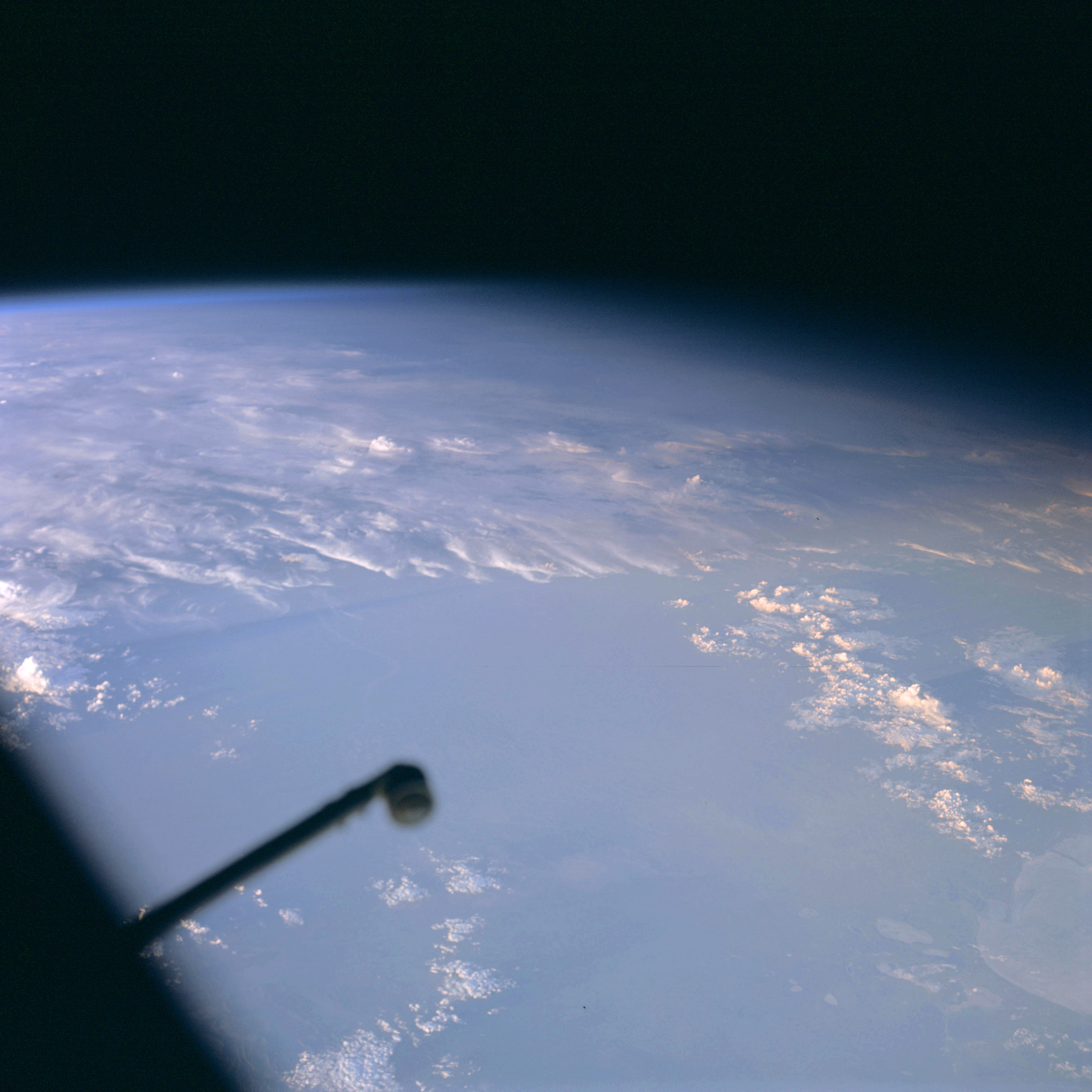 | AS09-20-3150 GEOGRAPHY/CARTOGRAPHY: Southwest Africa near Cape Fria. METEOROLOGY: Cumulo-nimbus, cumulus congestus. OCEANOGRAPHY: Some swell patterns visible. Image credit: Image Science and Analysis Laboratory, NASA-Johnson Space Center. |
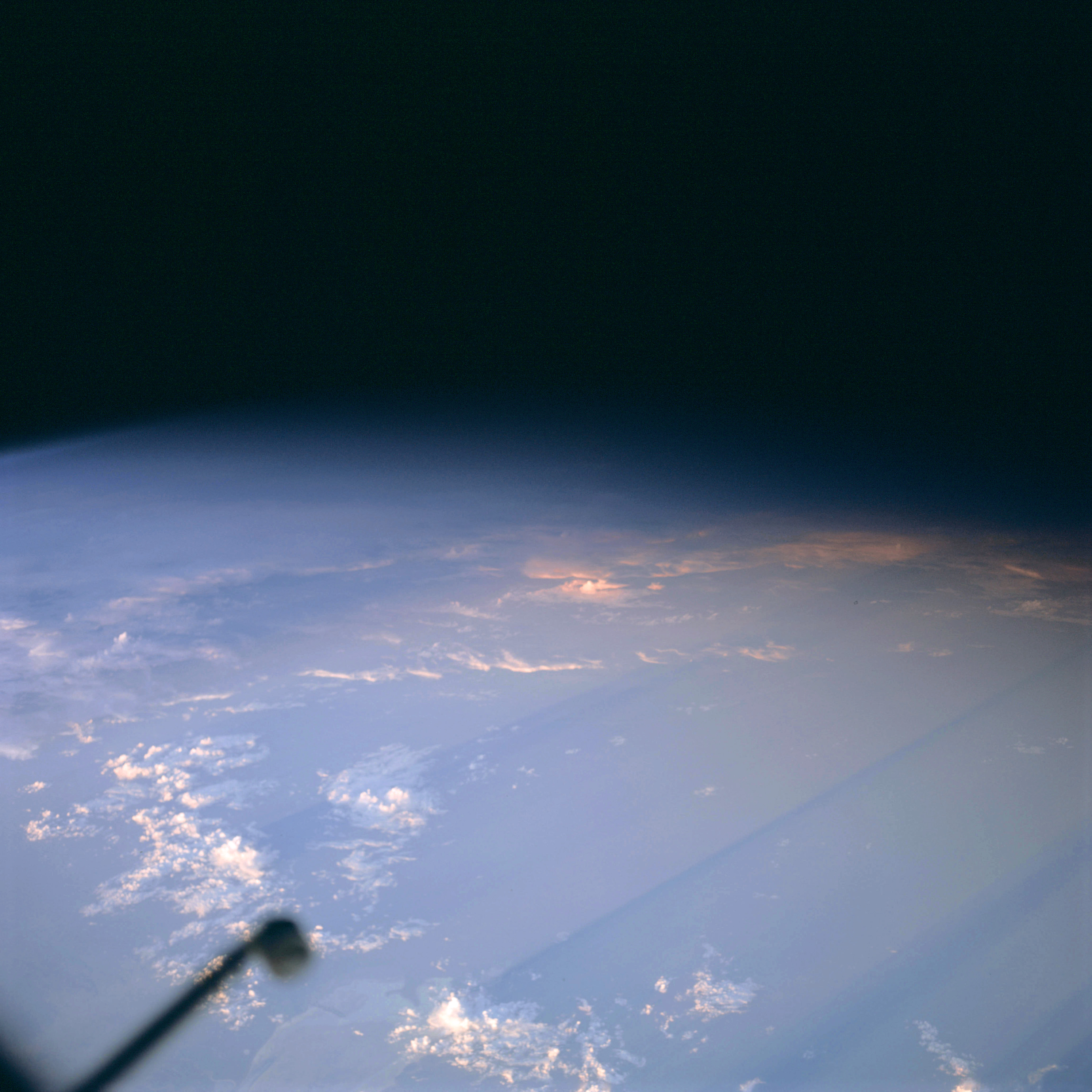 | AS09-20-3151 GEOGRAPHY/CARTOGRAPHY: Southwest Africa near Cape Fria. METEOROLOGY: Cumulo-nimbus, cumulus congestus. Image credit: Image Science and Analysis Laboratory, NASA-Johnson Space Center. |
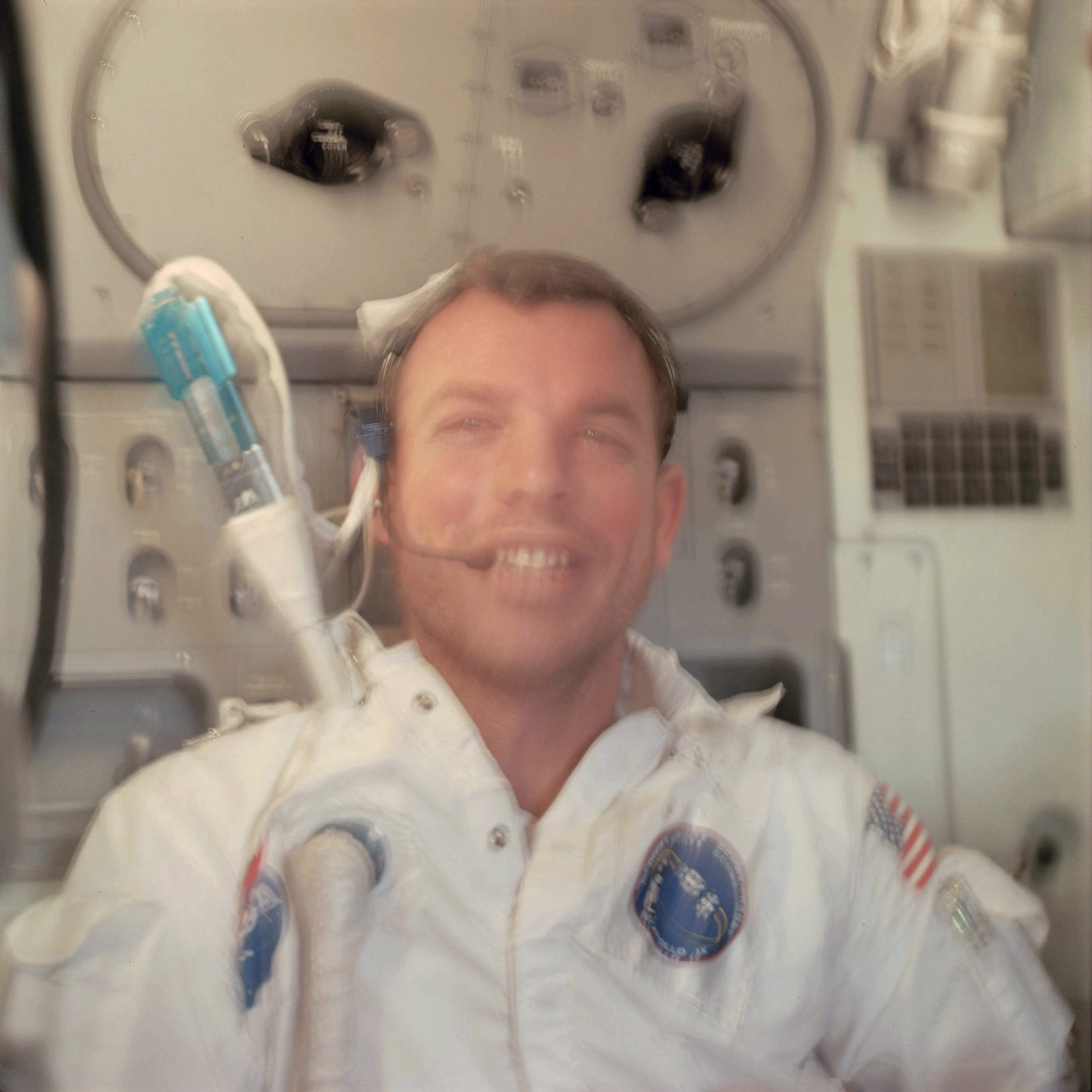 | AS09-20-3152 Astronaut David Scott Image credit: Image Science and Analysis Laboratory, NASA-Johnson Space Center. |
 | AS09-20-3153 Astronaut Rusty Schweickart Image credit: Image Science and Analysis Laboratory, NASA-Johnson Space Center. |
 | AS09-20-3154 Astronaut Jim McDivitt Image credit: Image Science and Analysis Laboratory, NASA-Johnson Space Center. |
 | AS09-20-3155 Astronaut David Scott Image credit: Image Science and Analysis Laboratory, NASA-Johnson Space Center. |
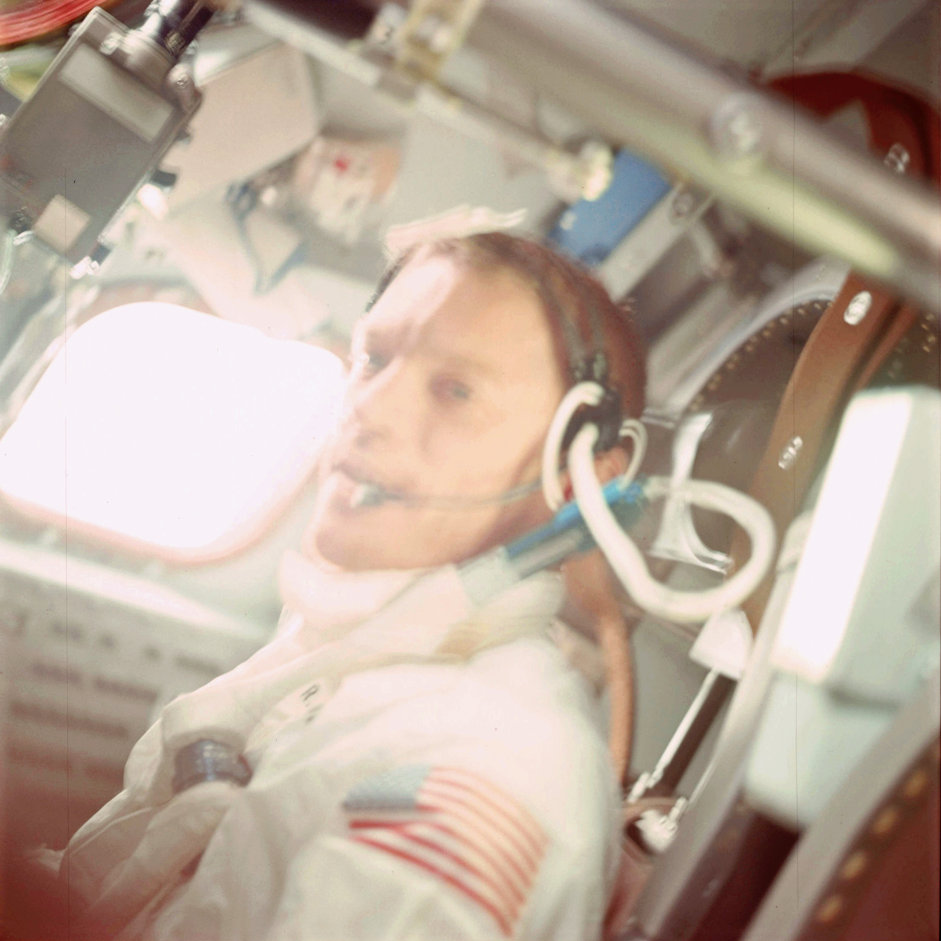 | AS09-20-3156 Astronaut Rusty Schweickart Image credit: Image Science and Analysis Laboratory, NASA-Johnson Space Center. |
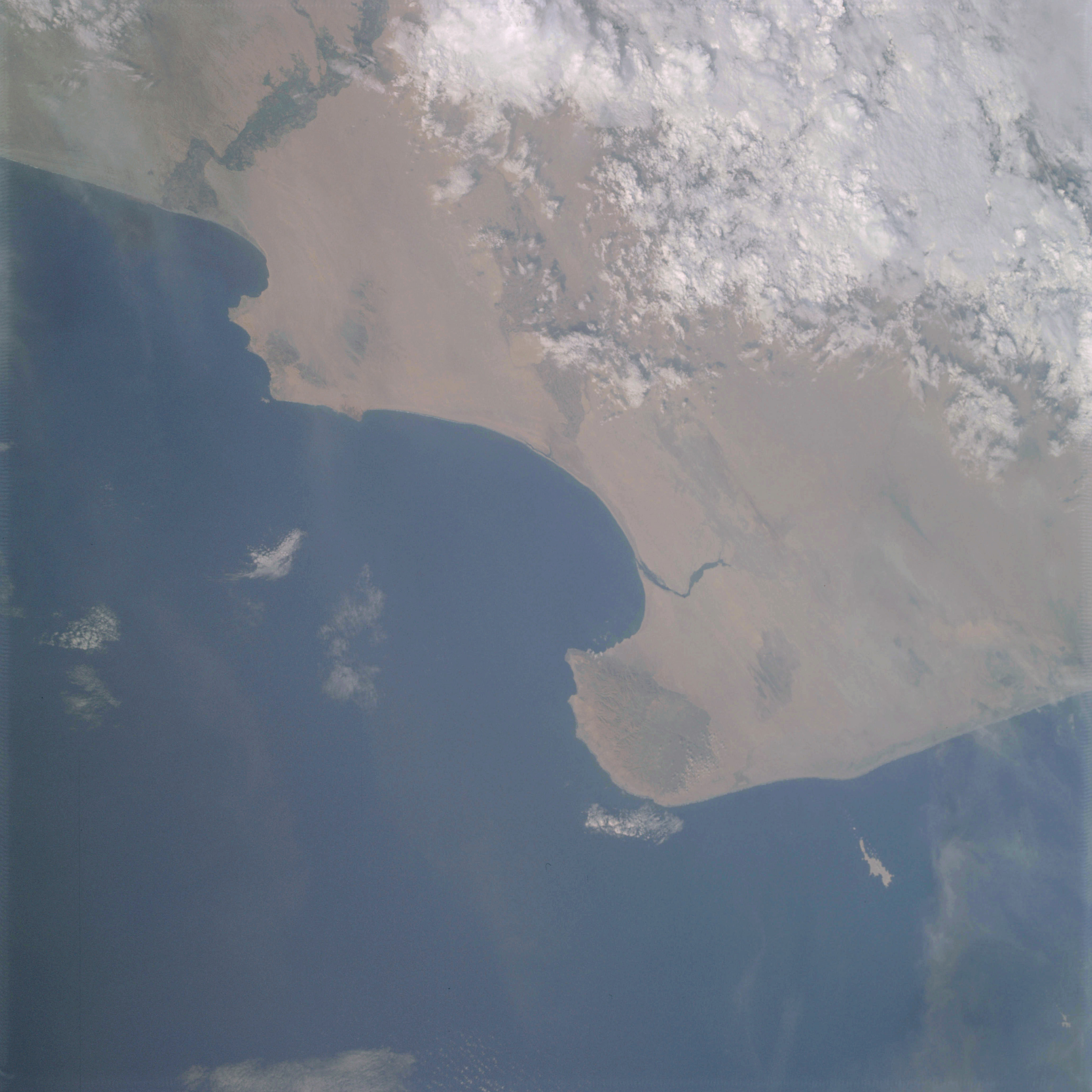 | AS09-20-3157 GEOGRAPHY/CARTOGRAPHY: South America, Peru, Points Negra, Aguija, and Parinas, Sechura Desert, Towns of Riura and Sullana, Pacific Ocean. GEOLOGY/HYDROLOGY: Coastal plain region showing the prevailing wind direction of the arid area. AGRICULTURE: Some cultivation along major chains. FORESTRY: Primarily desert shrubform. METEOROLOGY: Alto-cumulus, cumulo-nimbus, cirro-cumulus. Image credit: Image Science and Analysis Laboratory, NASA-Johnson Space Center. |
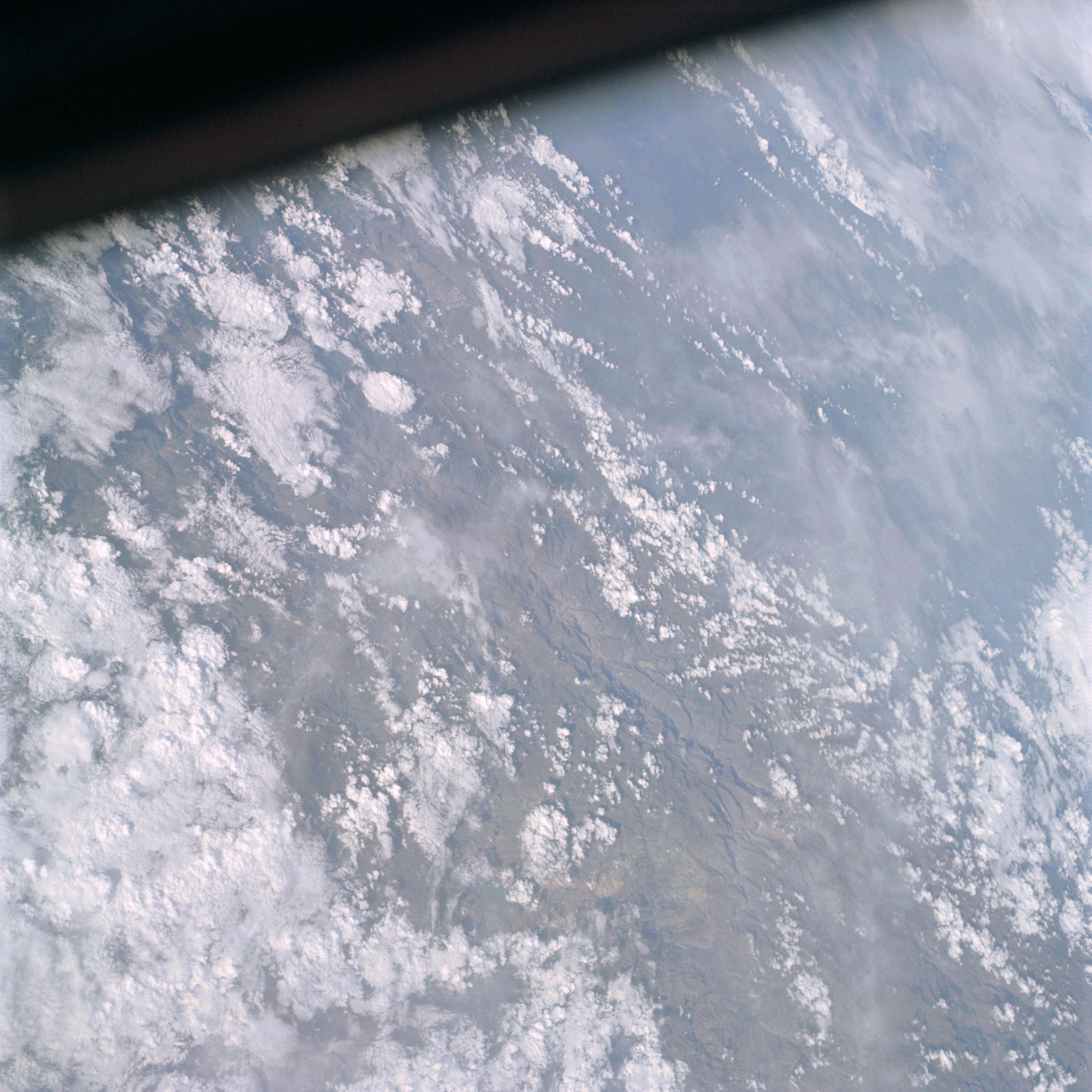 | AS09-20-3158 GEOGRAPHY/CARTOGRAPHY: South Americas, Peru, Cajamarca Province, Andes Mountains. GEOLOGY/HYDROLOGY: Complex mountains of the Andes. FORESTRY: Primarily grass with scattered deciduous shrubform. METEOROLOGY: Cumulo-nimbus, cumulus congestus, cirrus fibratus. Image credit: Image Science and Analysis Laboratory, NASA-Johnson Space Center. |
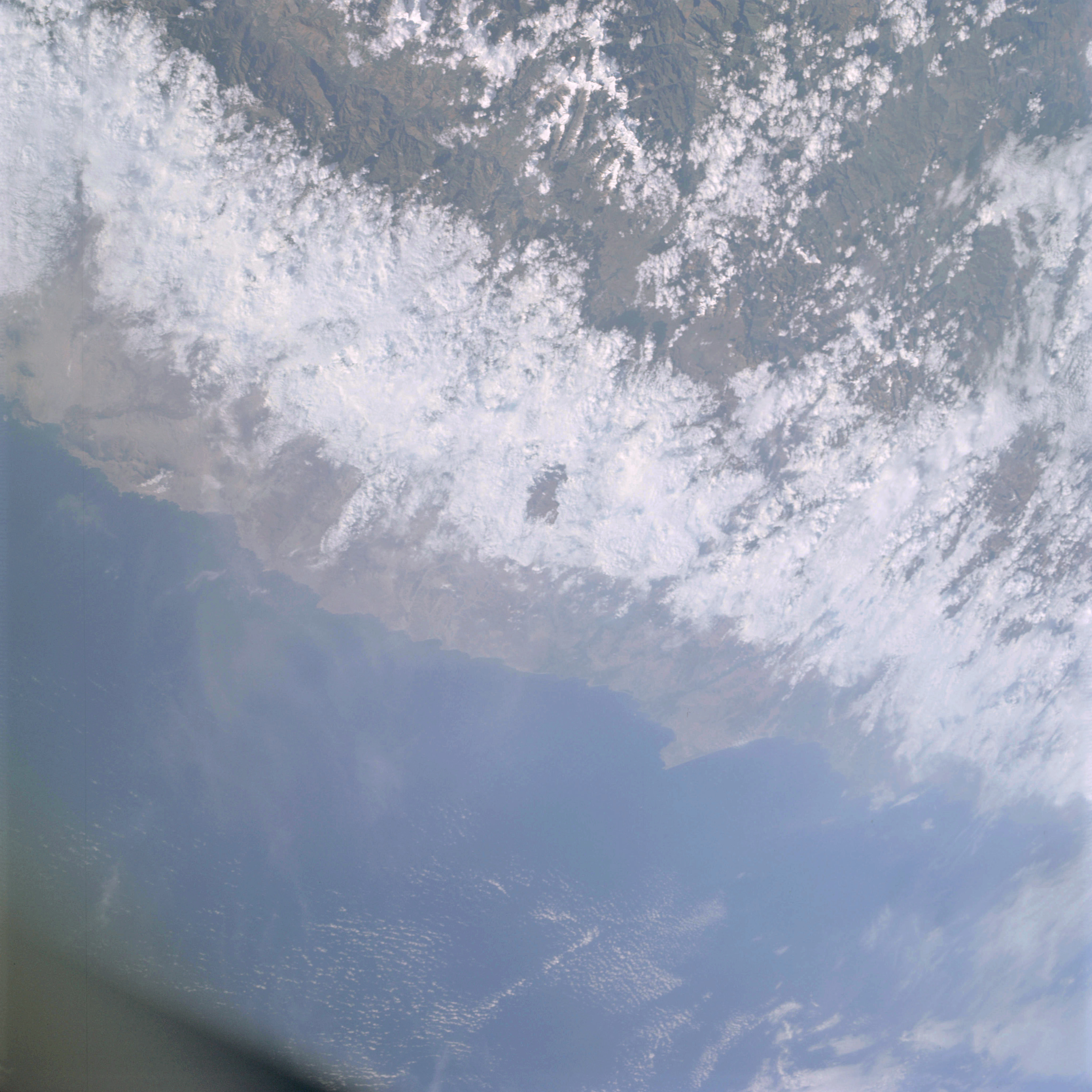 | AS09-20-3159 GEOGRAPHY/CARTOGRAPHY: South America, Peru, Paracus Peninsula, Cities of [unreadable]. Lima, and Pisco, Andes Mountains, Pacific Ocean. GEOLOGY/HYDROLOGY: Complex mountains of the Andes and submergence coastline region. FORESTRY: Deciduous shrubform. METEOROLOGY: Cirro-cumulus, cirrus fibratus, cumulus humilis, cumulus congestus, cumulo-nimbus, extensive cloud cover on ocean side of mountains. Image credit: Image Science and Analysis Laboratory, NASA-Johnson Space Center. |
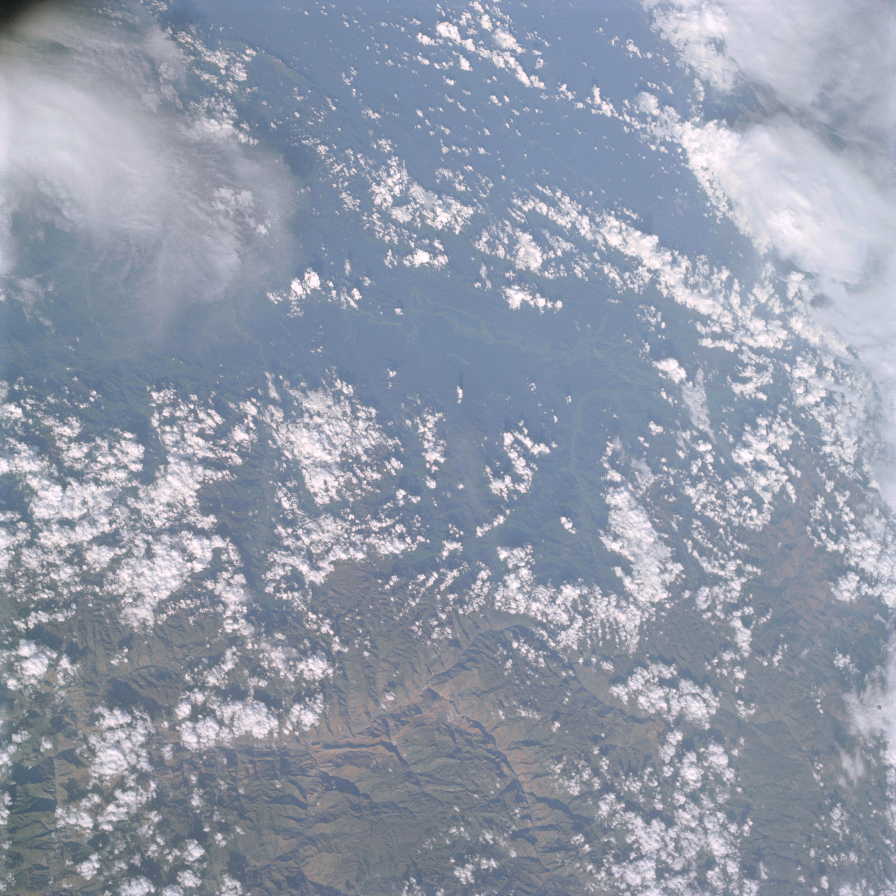 | AS09-20-3160 GEOGRAPHY/CARTOGRAPHY: South America, Peru, Andes Mountains. GEOLOGY/HYDROLOGY: Complex mountains which are highly fractured. AGRICULTURE: Possible cultivation in Ucayali River vicinity. FORESTRY: Deciduous shrubform grading to broadleaf evergreen on eastern slopes. METEOROLOGY: Cumulo-nimbus with anvil, cumulus congestus. Image credit: Image Science and Analysis Laboratory, NASA-Johnson Space Center. |
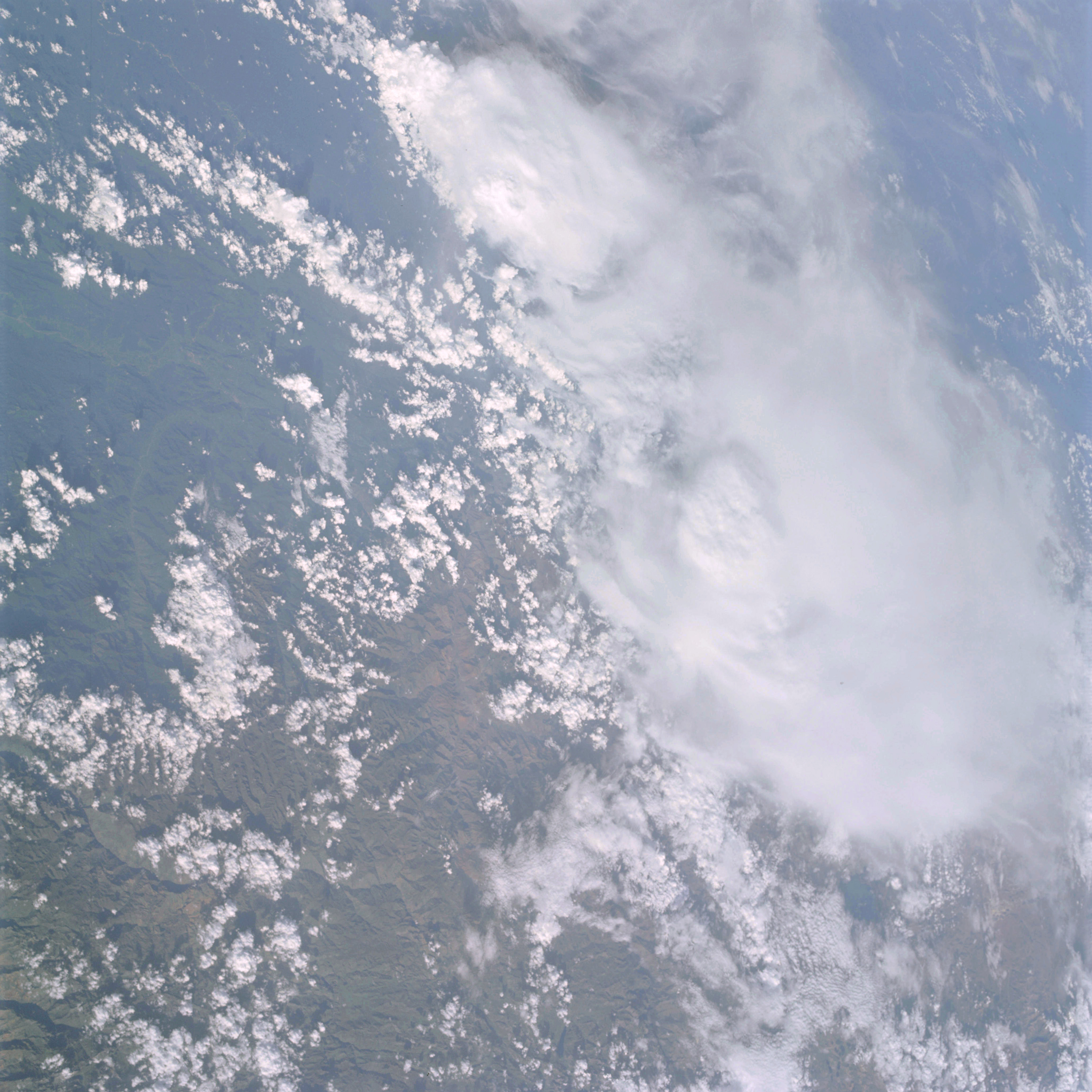 | AS09-20-3161 GEOGRAPHY/CARTOGRAPHY: South America, Peru, Area east of Andes Mountains. GEOLOGY/HYDROLOGY: Complex mountain region which is highly fractured. AGRICULTURE: Possible cultivation along Ucayali River. FORESTRY: Deciduous shrubform changing to broadleaf evergreen. METEOROLOGY: Cumulo-nimbus with anvil, cumulus congestus, cumulus humilis. Image credit: Image Science and Analysis Laboratory, NASA-Johnson Space Center. |
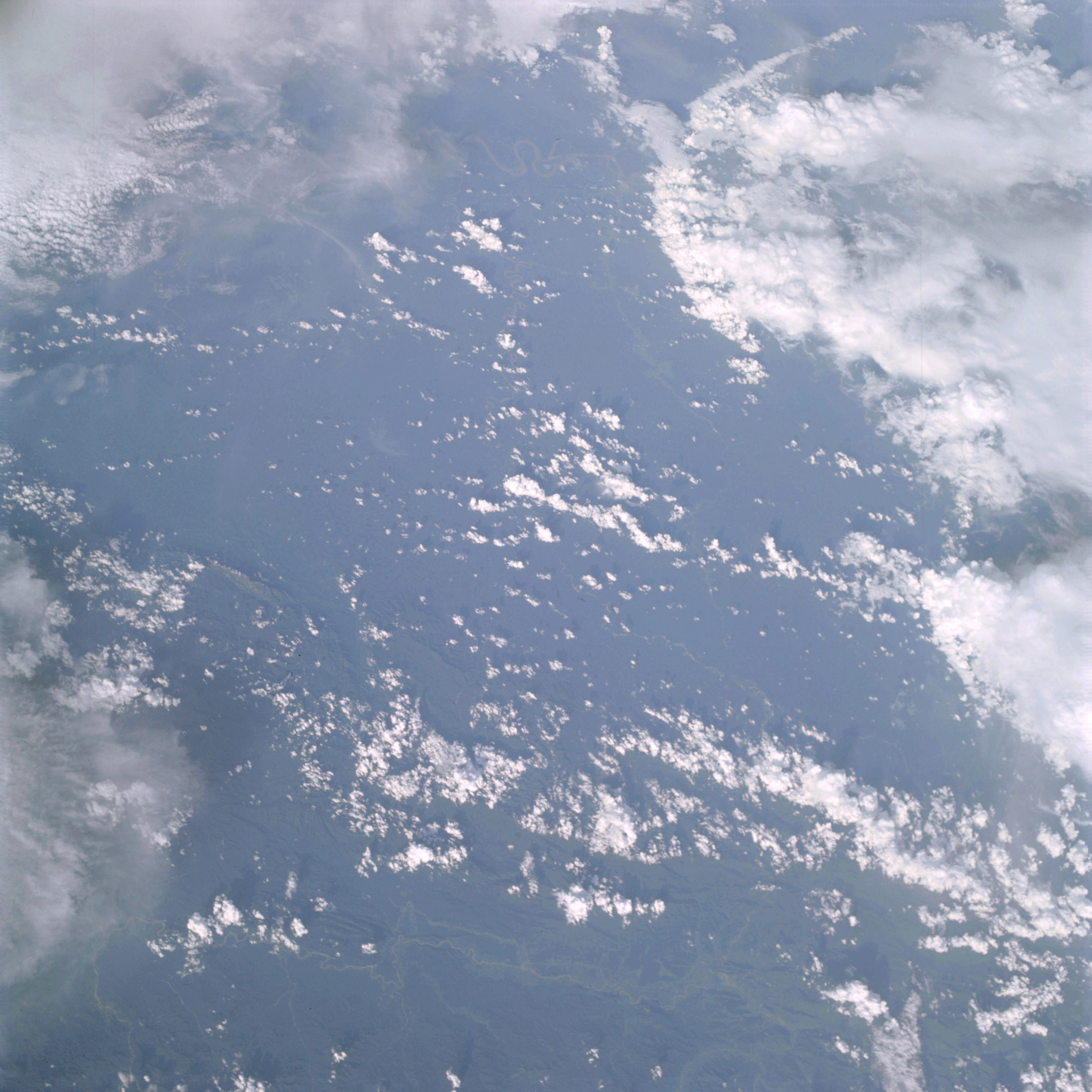 | AS09-20-3162 GEOGRAPHY/CARTOGRAPHY: South America, Peru, Andes Mountains, Ucayali River vicinity. GEOLOGY/HYDROLOGY: Complex mountain and plateau region. AGRICULTURE: Field pattern [unreadable]. FORESTRY: Broadleaf evergreen forests. METEOROLOGY: Cumulo-nimbus with anvil, cumulus humilis, cumulus congestus. Image credit: Image Science and Analysis Laboratory, NASA-Johnson Space Center. |
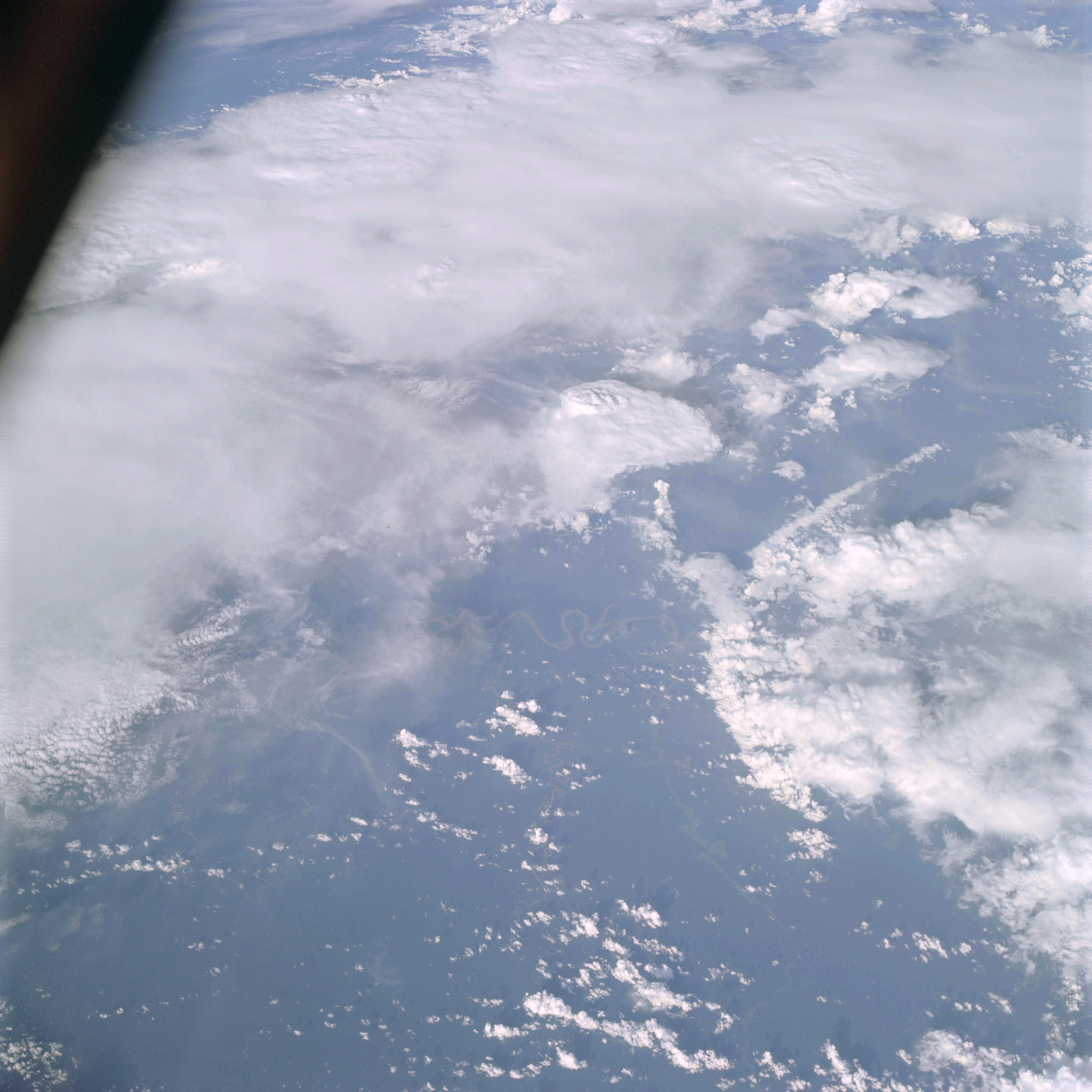 | AS09-20-3163 GEOGRAPHY/CARTOGRAPHY: South America, Peru, area east of Andes Mountains, Ucayali River. GEOLOGY/HYDROLOGY: Meandering braided river adjacent to the mountain range. AGRICULTURE: Field patterns along drainage. FORESTRY: Dense broadleaf evergreen. METEOROLOGY: Squall line, cumulo-nimbus with anvil or false cirrus, cumulus humilis. Image credit: Image Science and Analysis Laboratory, NASA-Johnson Space Center. |
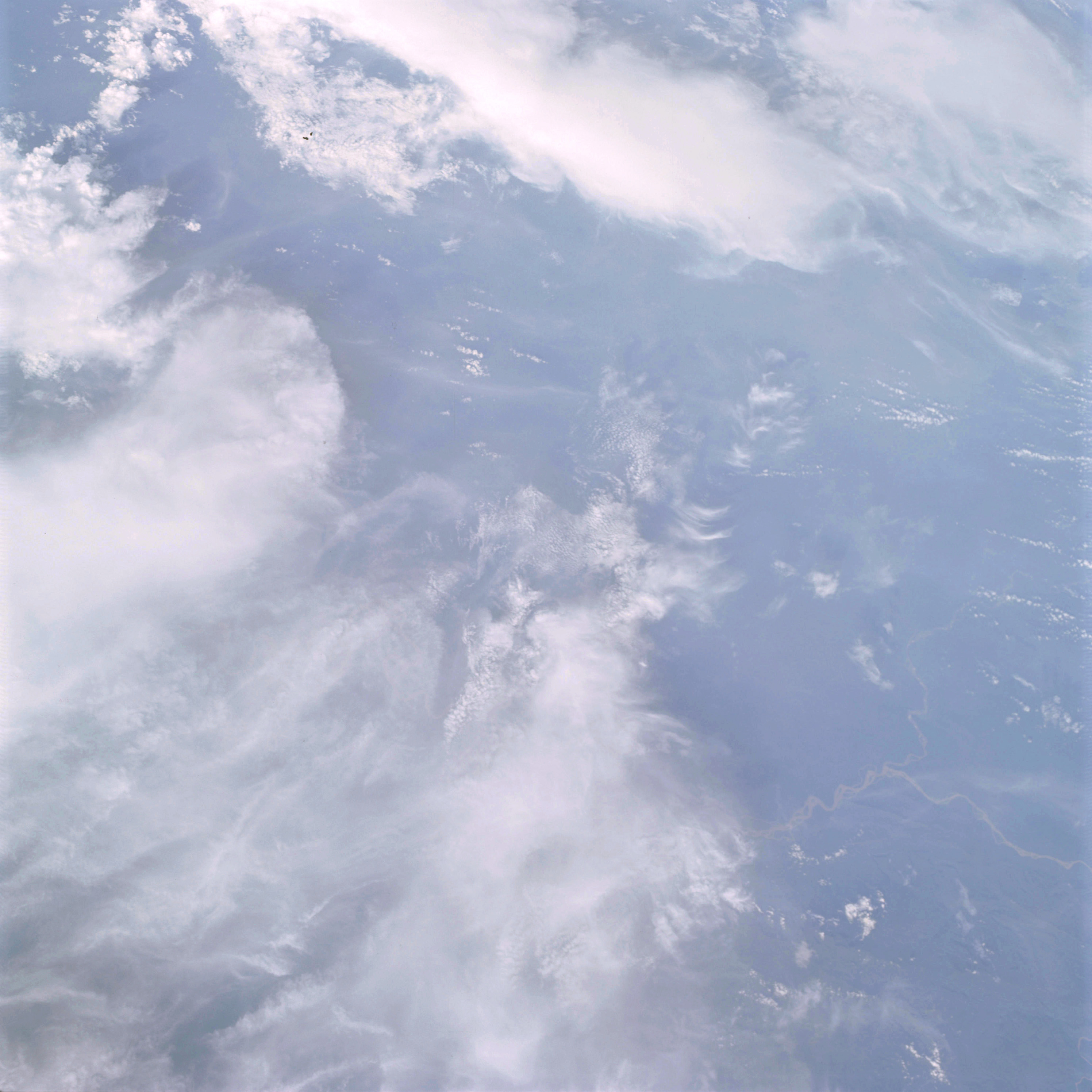 | AS09-20-3164 GEOGRAPHY/CARTOGRAPHY: South America, Peru, Intersection of the Tambo, Urubamba, and Ucayali Rivers, Villages cf Atalaya and Unini. GEOLOGY/HYDROLOGY: Braided river adjacent to the complex mountain range. FORESTRY: Dense broadleaf evergreen. METEOROLOGY: Cumulo-nimbus with anvil, cirrus spissatus, cumulus congestus. Image credit: Image Science and Analysis Laboratory, NASA-Johnson Space Center. |
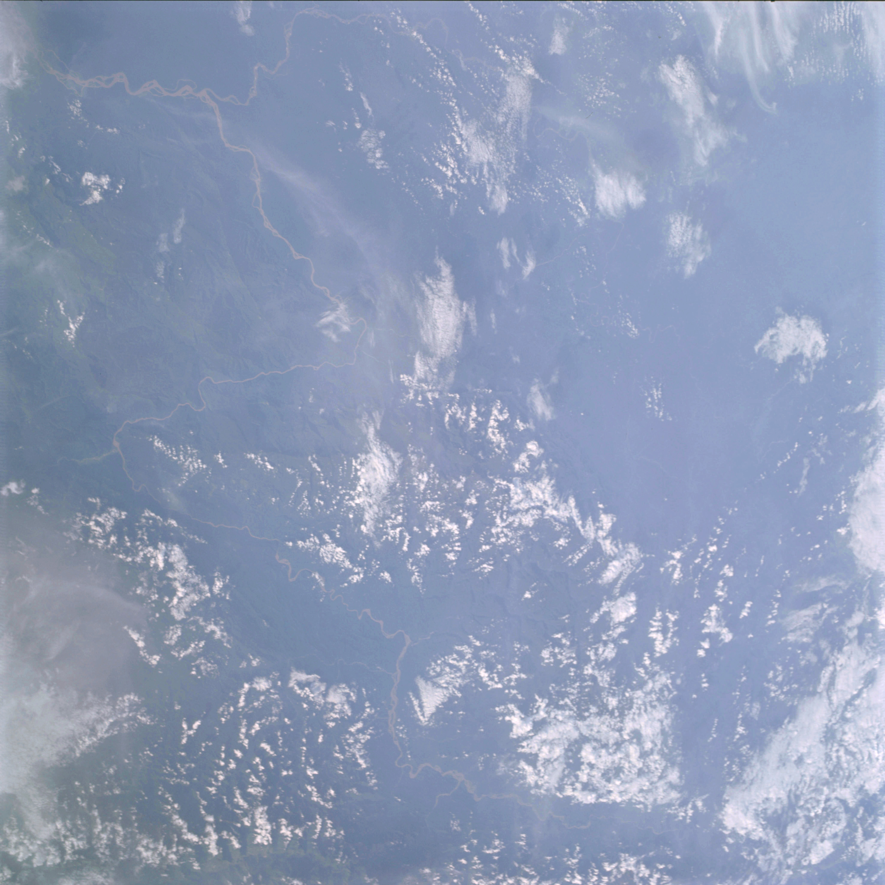 | AS09-20-3165 GEOGRAPHY/CARTOGRAPHY: South America, Peru, Area east of Andes Mountains, Tambo, Urubanba, and Ucayali Rivers. GEOLOGY/HYDROLOGY: Complex mountains showing consequent drainage from the higher elevations. FORESTRY: Dense broadleaf evergreen. METEOROLOGY: Cumulus humilis, cirrus fibratus. Image credit: Image Science and Analysis Laboratory, NASA-Johnson Space Center. |
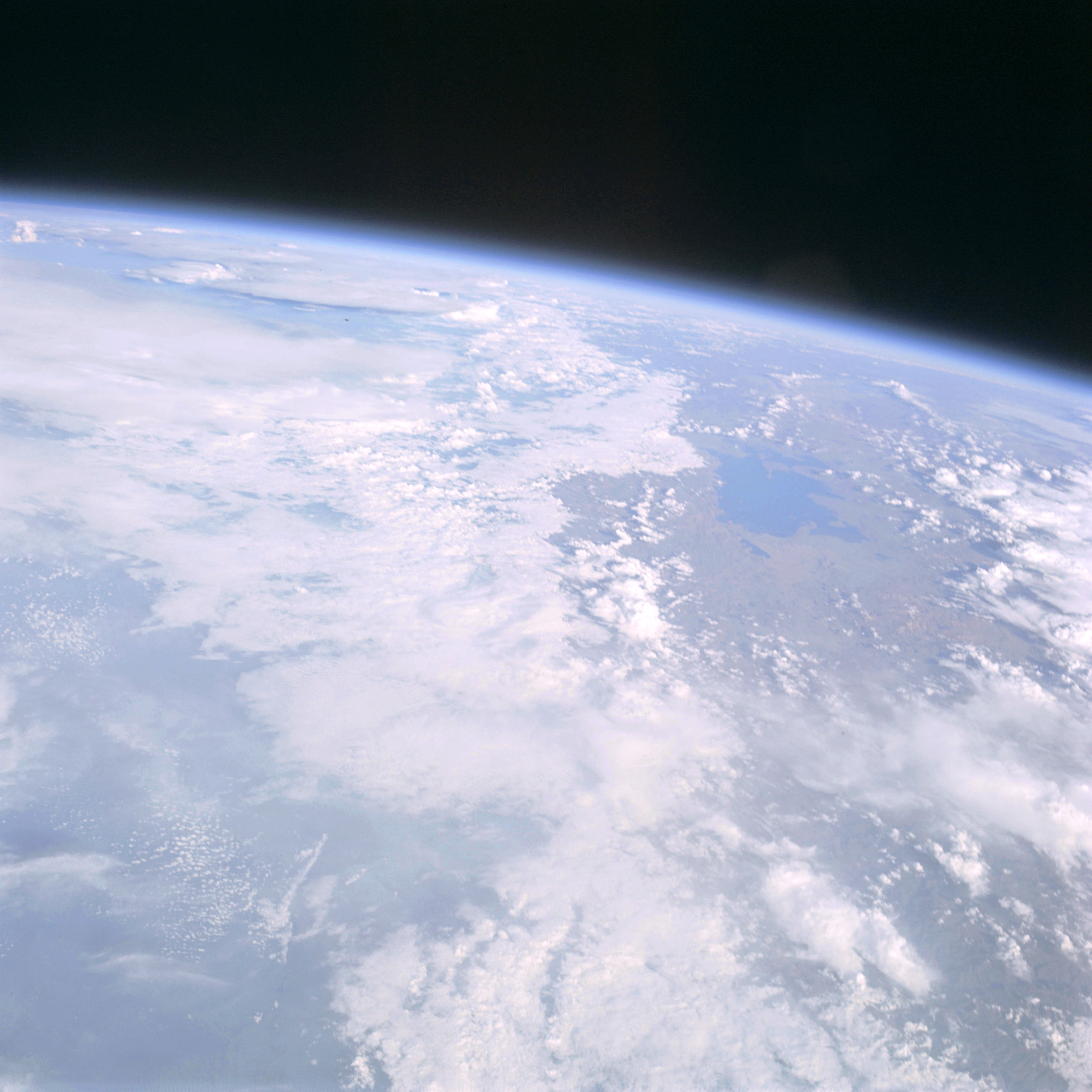 | AS09-20-3166 GEOGRAPHY/CARTOGRAPHY: South America, Peru, Bolivia, Lake Titicaca. GEOLOGY/HYDROLOGY: Complex mountains with a large tectonic depression (lake) formed in the origin of the range. FORESTRY: Broadleaf shrubform and grass changing to dense broadleaf evergreen on eastern slopes. METEOROLOGY: Cumulo-nimbus, cumulus humilis, cumulus congestus, cirrus spissatus. Image credit: Image Science and Analysis Laboratory, NASA-Johnson Space Center. |
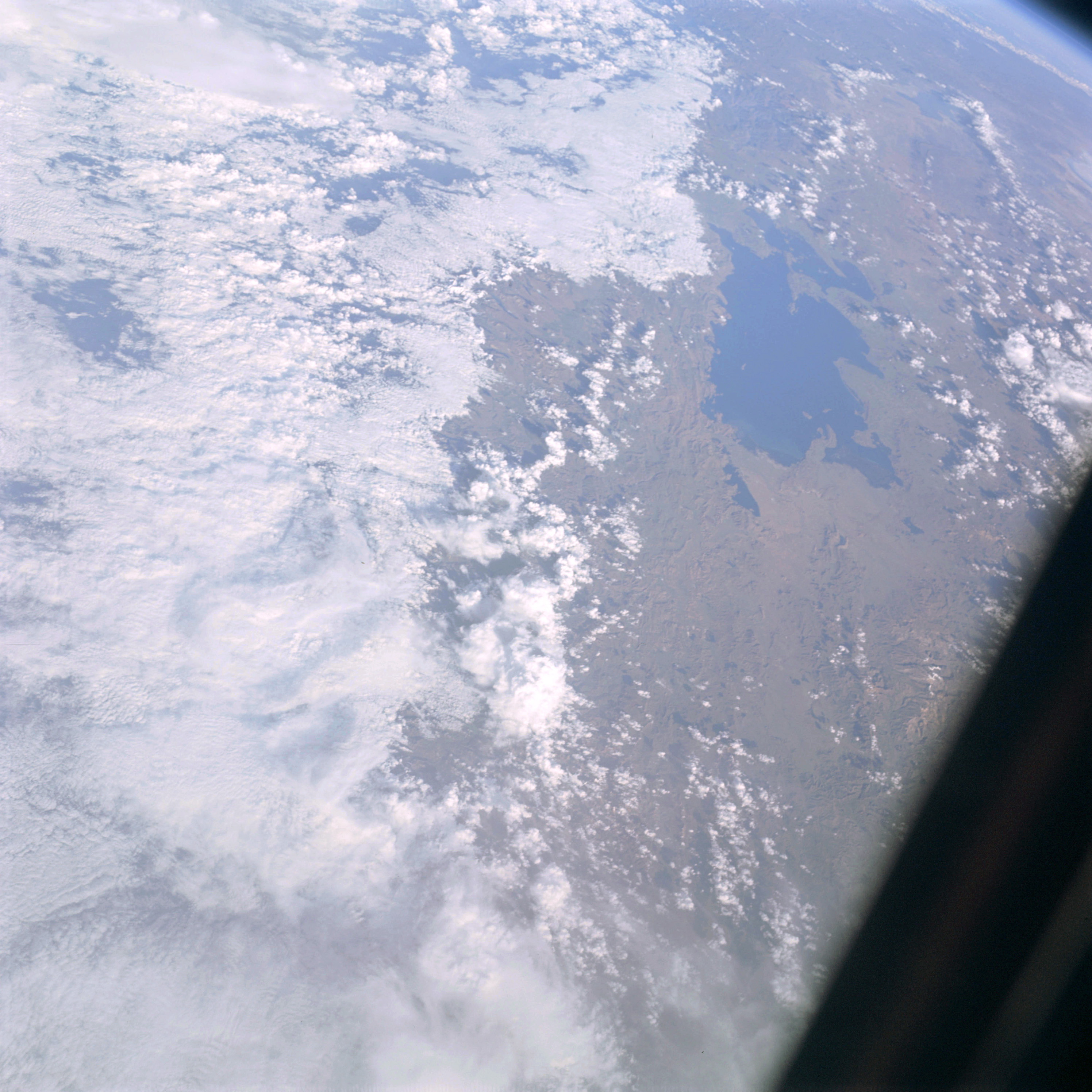 | AS09-20-3167 GEOGRAPHY/CARTOGRAPHY: South America; Peru, Bolivia, Lake Titicaca, City of Lapaz. GEOLOGY/HYDROLOGY: Complex mountains with a large tectonic depression (lake) formed in the origin of the range. FORESTRY: Broadleaf shrubform and grasslands. METEOROLOGY: Cumulo-nimbus with anvil; alto-cumulus; cumulus humilis; cirrus spissatus. Image credit: Image Science and Analysis Laboratory, NASA-Johnson Space Center. |
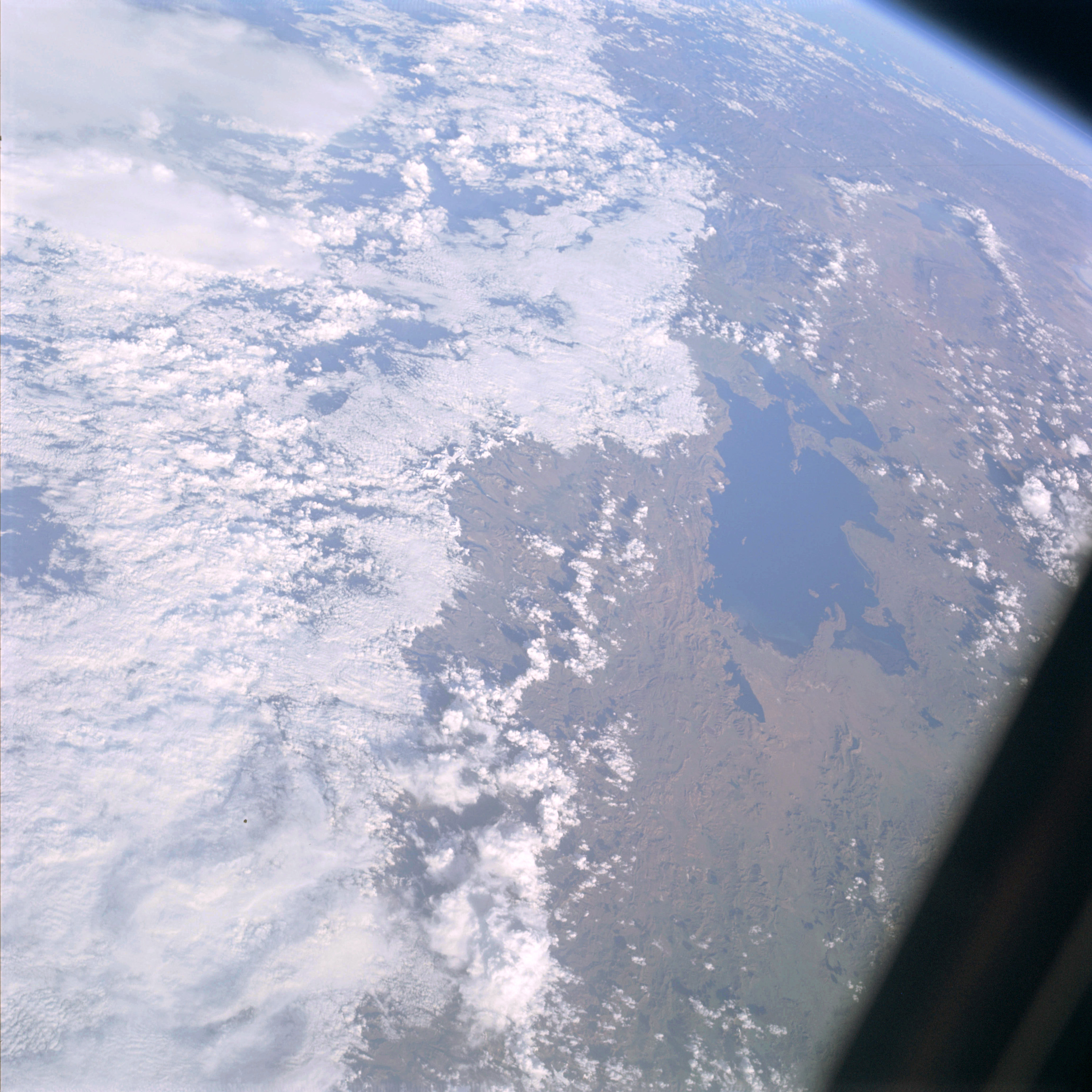 | AS09-20-3168 GEOGRAPHY/CARTOGRAPHY: South America, Peru, Bolivia, Lakes Titicaca and Poopo, Cities of La Paz and Oruro. GEOLOGY/HYDROLOGY: Complex mountains with a large tectonic depression (lake) formed in the origin of the range. FORESTRY: Scattered shrubform with grass. METEOROLOGY: Cumulo-nimbus, cumulus congestus, cumulus humilis. Image credit: Image Science and Analysis Laboratory, NASA-Johnson Space Center. |
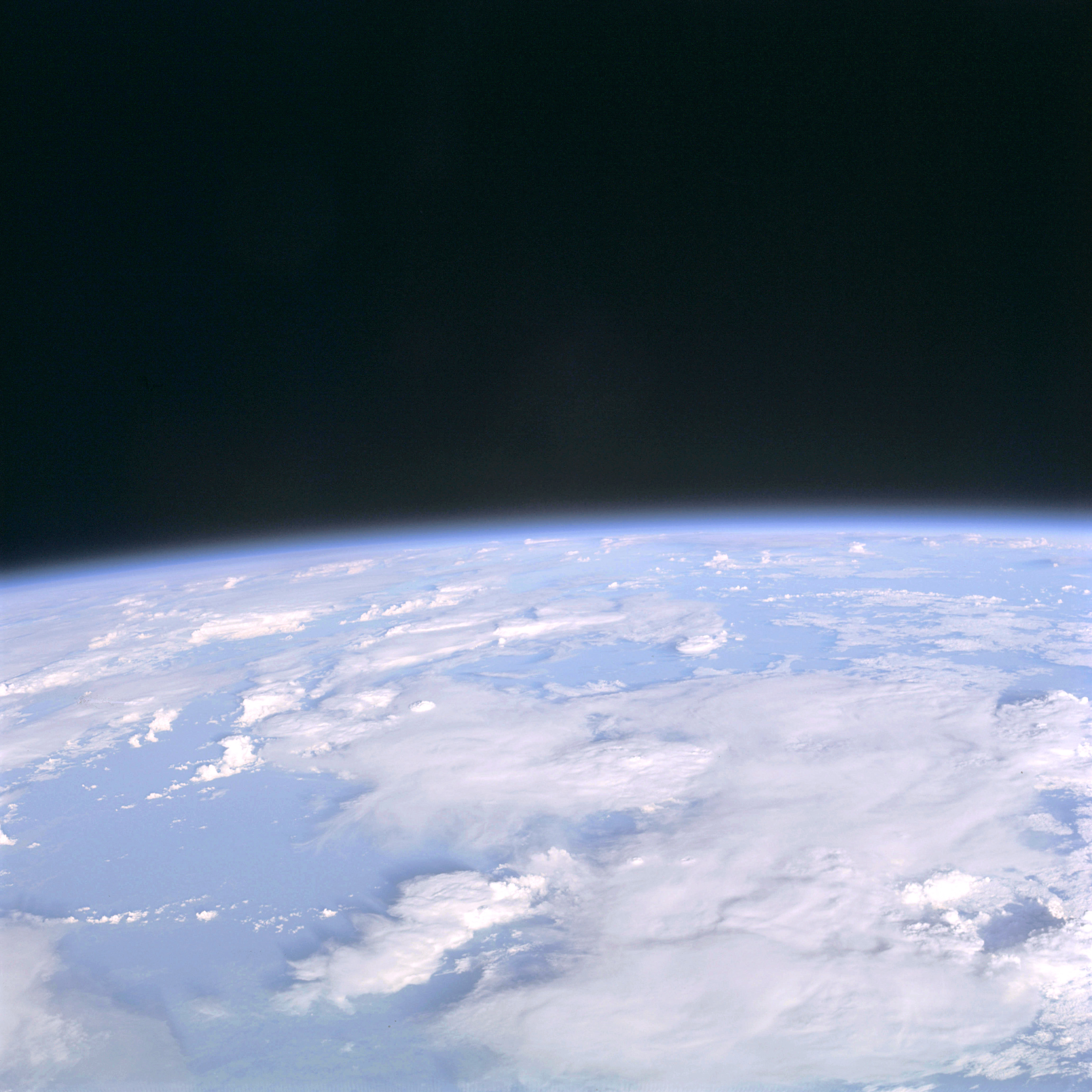 | AS09-20-3169 GEOGRAPHY/CARTOGRAPHY: South America. METEOROLOGY: Cumulo-nimbus, cumulus humilis, cirrus spissatus, nimbo-stratus. Image credit: Image Science and Analysis Laboratory, NASA-Johnson Space Center. |
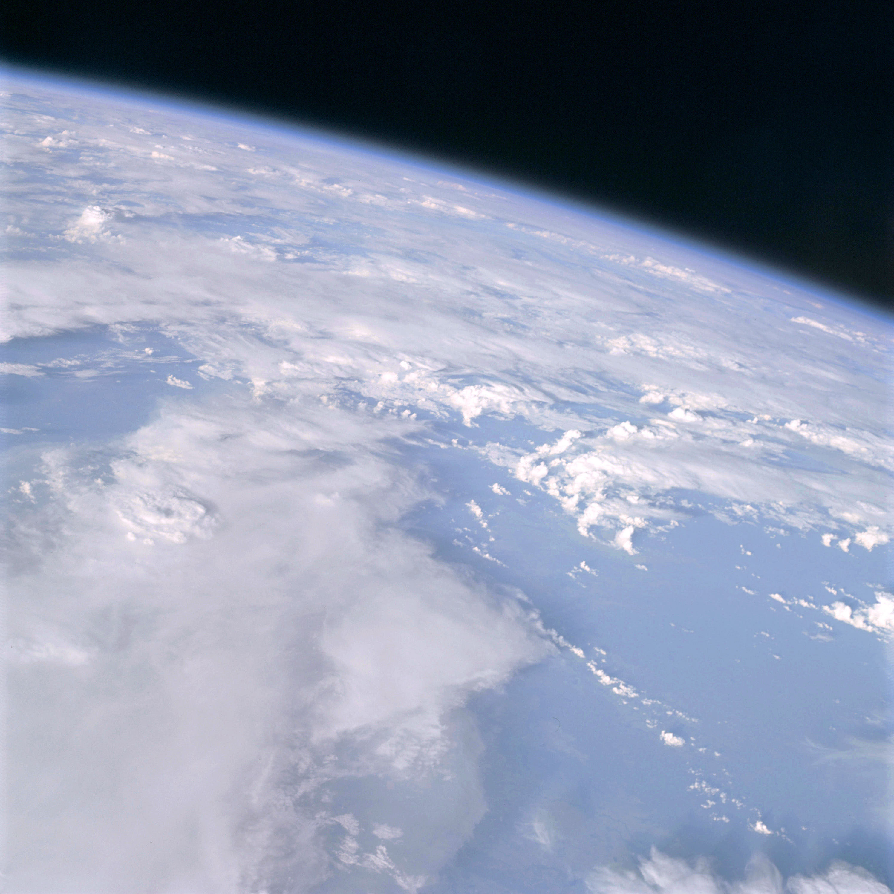 | AS09-20-3170 GEOGRAPHY/CARTOGRAPHY: South America. METEOROLOGY: Cumulo-nimbus, cumulus congestus, cumulus humilis, nimbo-stratus. Image credit: Image Science and Analysis Laboratory, NASA-Johnson Space Center. |
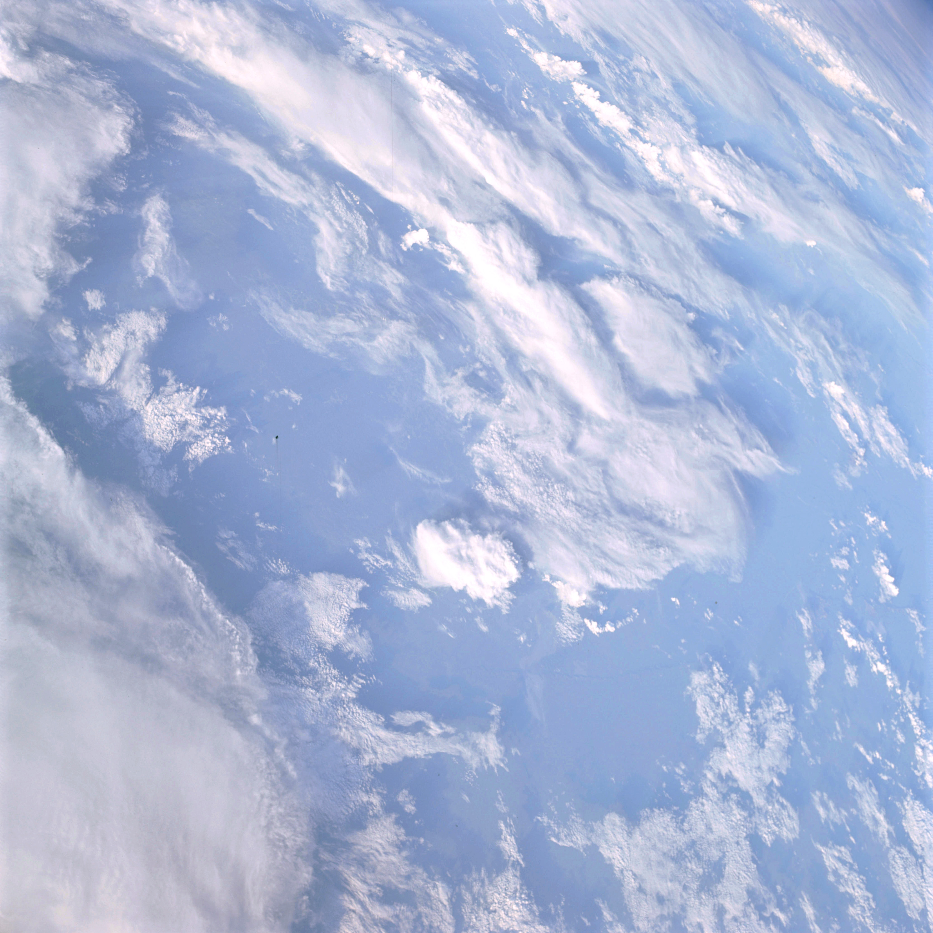 | AS09-20-3171 GEOGRAPHY/CARTOGRAPHY: South America METEOROLOGY: Cumulo-nimbus, alto-cumulus, cirro-cumulus, cumulus congestus. Image credit: Image Science and Analysis Laboratory, NASA-Johnson Space Center. |
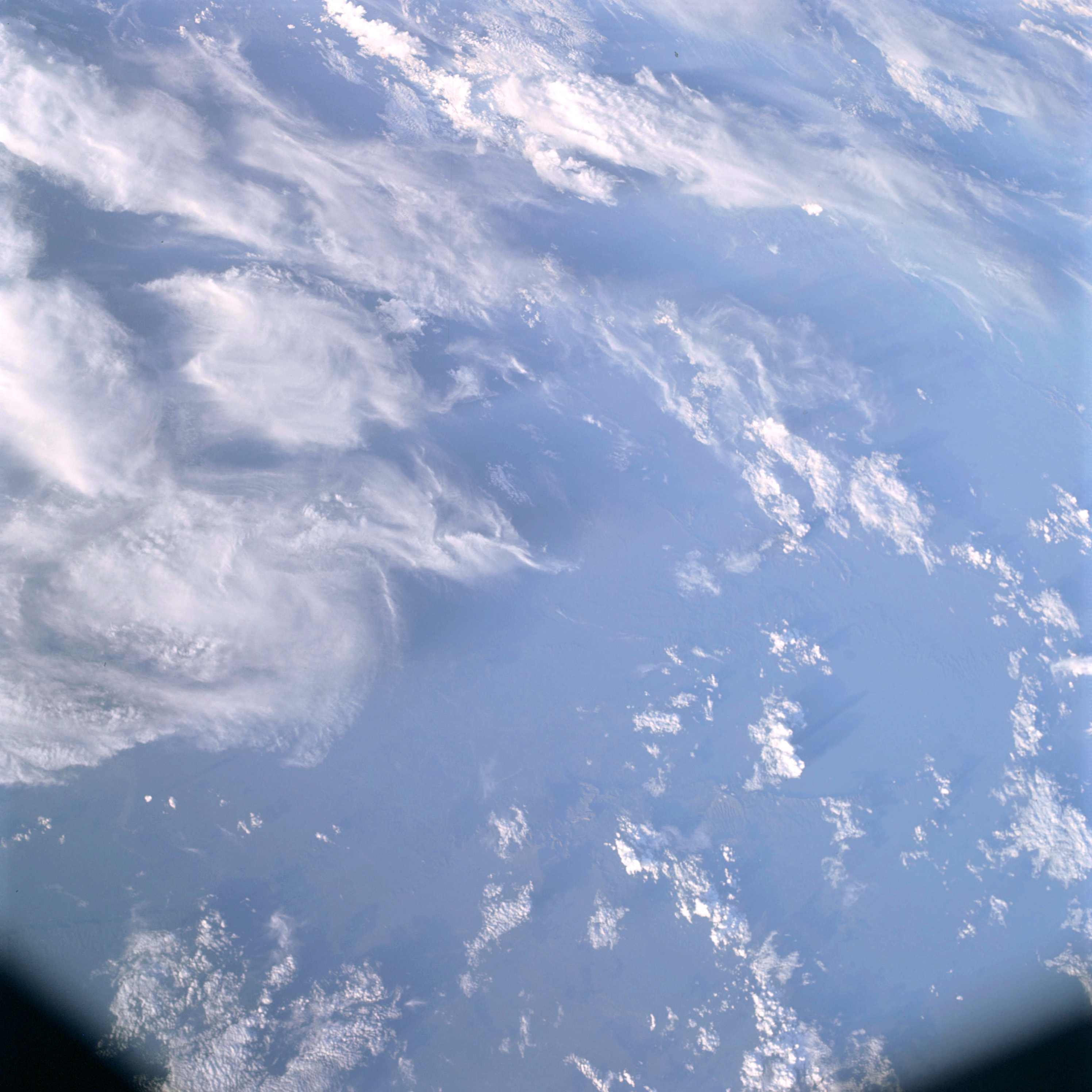 | AS09-20-3172 GEOGRAPHY/CARTOGRAPHY: South America METEOROLOGY: Cirro-cumulus, cumulus congestus, cirrus spissatus. Image credit: Image Science and Analysis Laboratory, NASA-Johnson Space Center. |
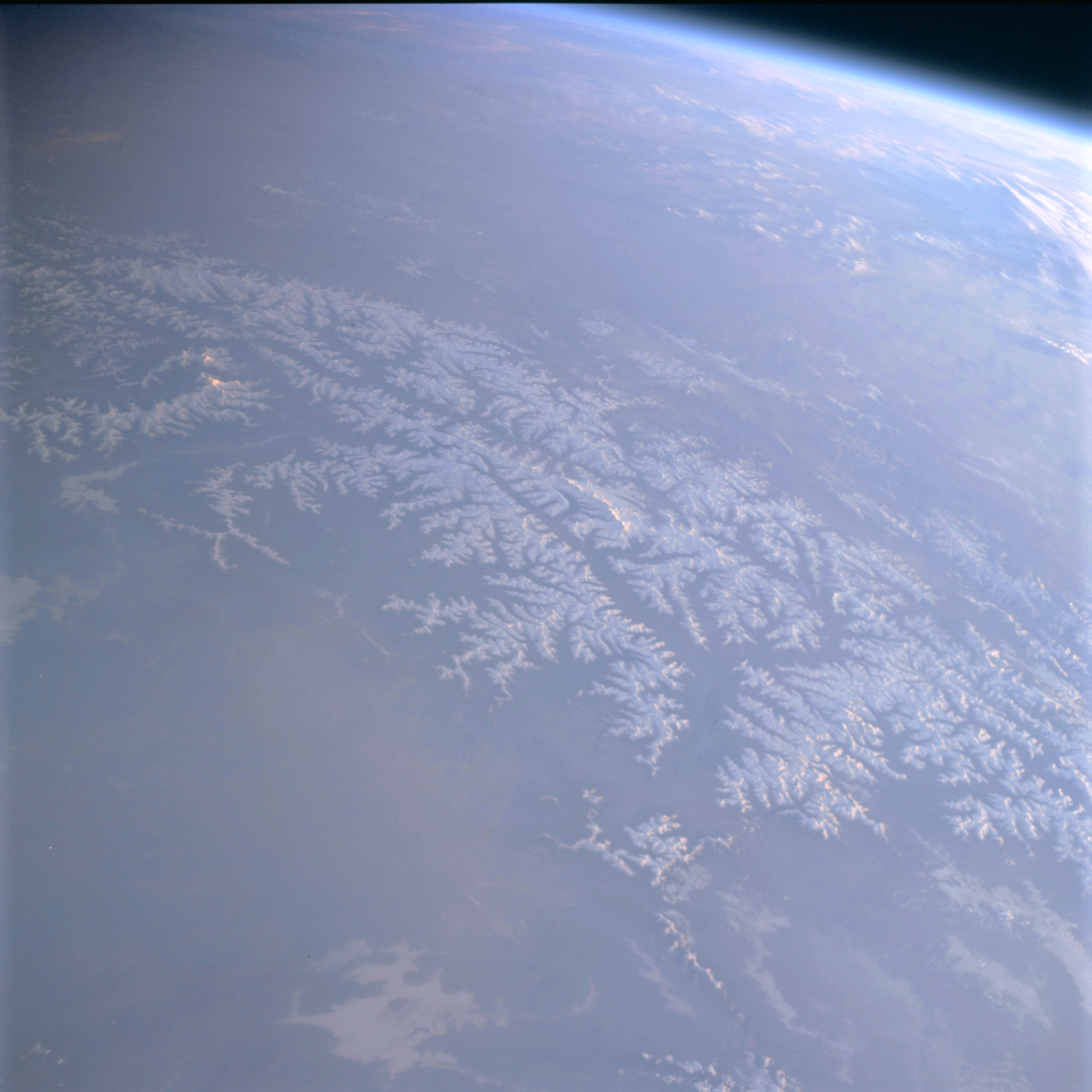 | AS09-20-3173 GEOGRAPHY/CARTOGRAPHY: Asia, Nepal, Tibet, India, Himalayan Mountains. GEOLOGY/HYDROLOGY: Complex mountain structure of the Himalayas. METEOROLOGY: Extensive snow cover in mountain areas. Image credit: Image Science and Analysis Laboratory, NASA-Johnson Space Center. |
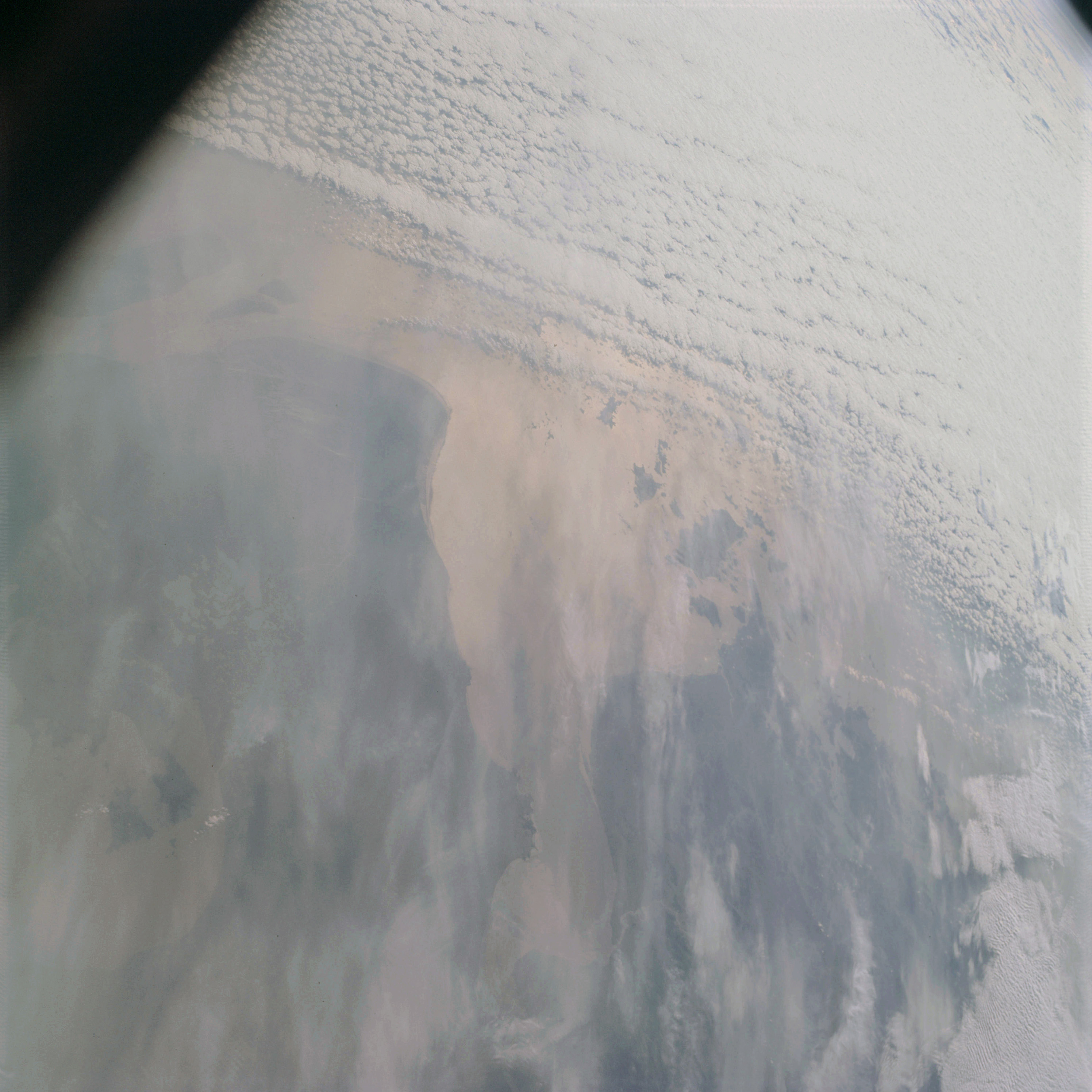 | AS09-20-3174 GEOGRAPHY/CARTOGRAPHY: China, Chekiang Province, Hangchou Bay, Lake Hu, Mouth of Yangtze River, Cities of Shanghai, Hangehou and Ningpo. GEOLOGY HYDROLOGY: Shoreline of emergence and sedimentation outflow of the delta from the coastal plain. METEOROLOGY: Alto-cumulus, Strato-cumulus, cirrus fibratus. Image credit: Image Science and Analysis Laboratory, NASA-Johnson Space Center. |
 | AS09-20-3175 Sunrise Limb shot. Image credit: Image Science and Analysis Laboratory, NASA-Johnson Space Center. |
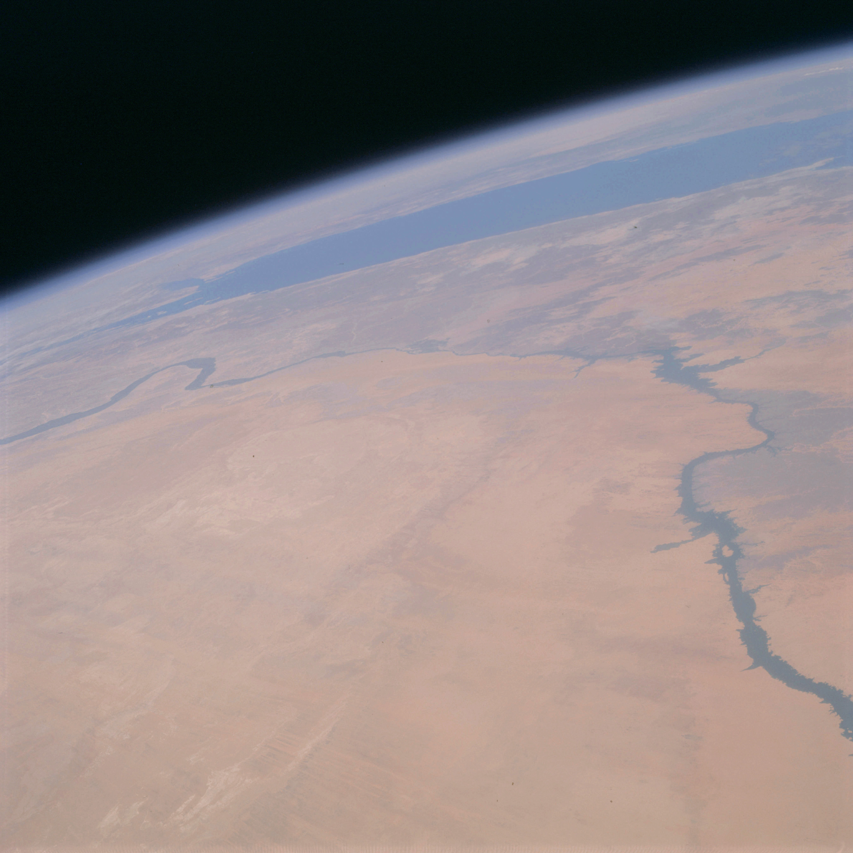 | AS09-20-3176 GEOGRAPHY/CARTOGRAPHY: Africa, United Arab Republic, Sudan, Red Sea, Nile River, Gulf of Suez, Aswan Dam, City of Wadi Halfa. GEOLOGY/HYDROLOGY: Libyan plateau and erg plain region. FORESTRY: Desert shrubform. Image credit: Image Science and Analysis Laboratory, NASA-Johnson Space Center. |
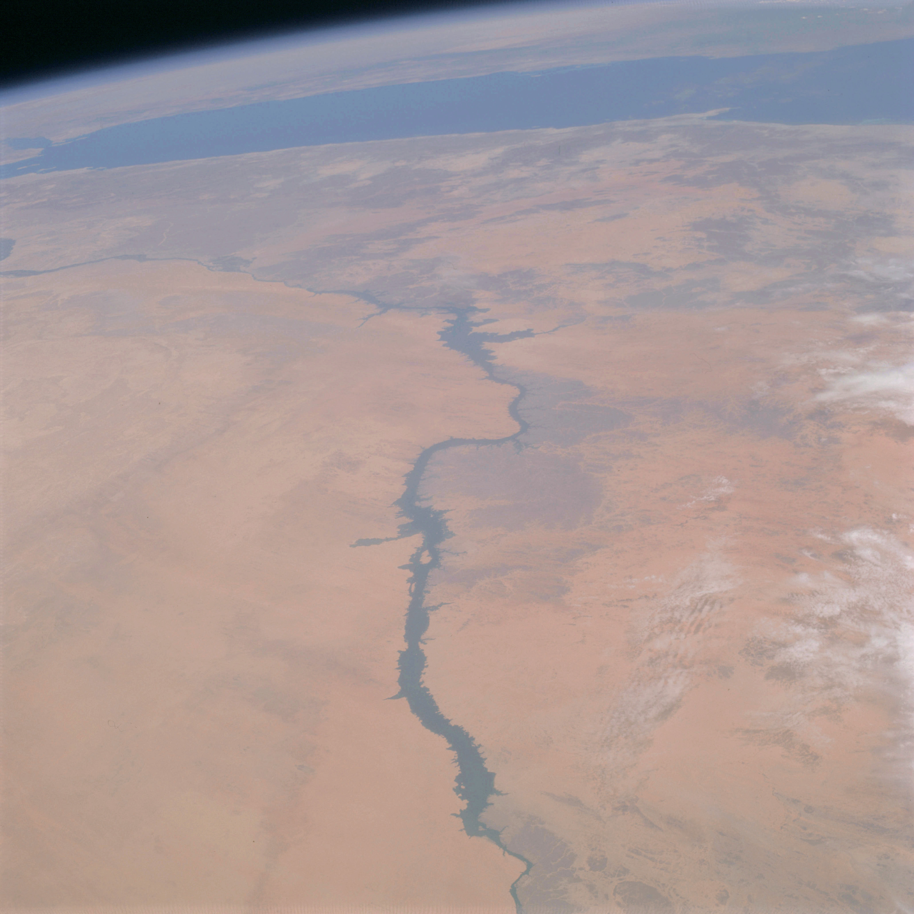 | AS09-20-3177 GEOGRAPHY/CARTOGRAPHY: Africa, United Arab Republic, Sudan, Red Sea, Nile River, Gulf of Suez, Aswan Dam, City of Wadi Halfa. GEOLOGY/HYDROLOGY: Libyan plateau and erg plain region. FORESTRY: Desert shrubform. METEOROLOGY: Cirro-cumulus. Image credit: Image Science and Analysis Laboratory, NASA-Johnson Space Center. |
|
|
|
| 70-mm magazine A - AS09-19-2909 to 3052 |
Photography Index | 70-mm magazine B - AS09-21-3178 to 3323 |