
 |
 |
| 70-mm magazine F - AS09-24-3619 to 3681 |
Photography Index |
No copyright is asserted for NASA photographs. If a recognizable person appears in a photo, use for commercial purposes may infringe a right of privacy or publicity. Photos may not be used to state or imply the endorsement by NASA or by any NASA employee of a commercial product, process or service, or used in any other manner that might mislead. Accordingly, it is requested that if a NASA photograph is used in advertising and other commercial promotion, layout and copy be submitted to NASA prior to release. NASA photos reproduced from this archive should include photo credit to "NASA" or "National Aeronautics and Space Administration" and should include scanning credit to the appropriate individuals or agencies as noted in the captions.
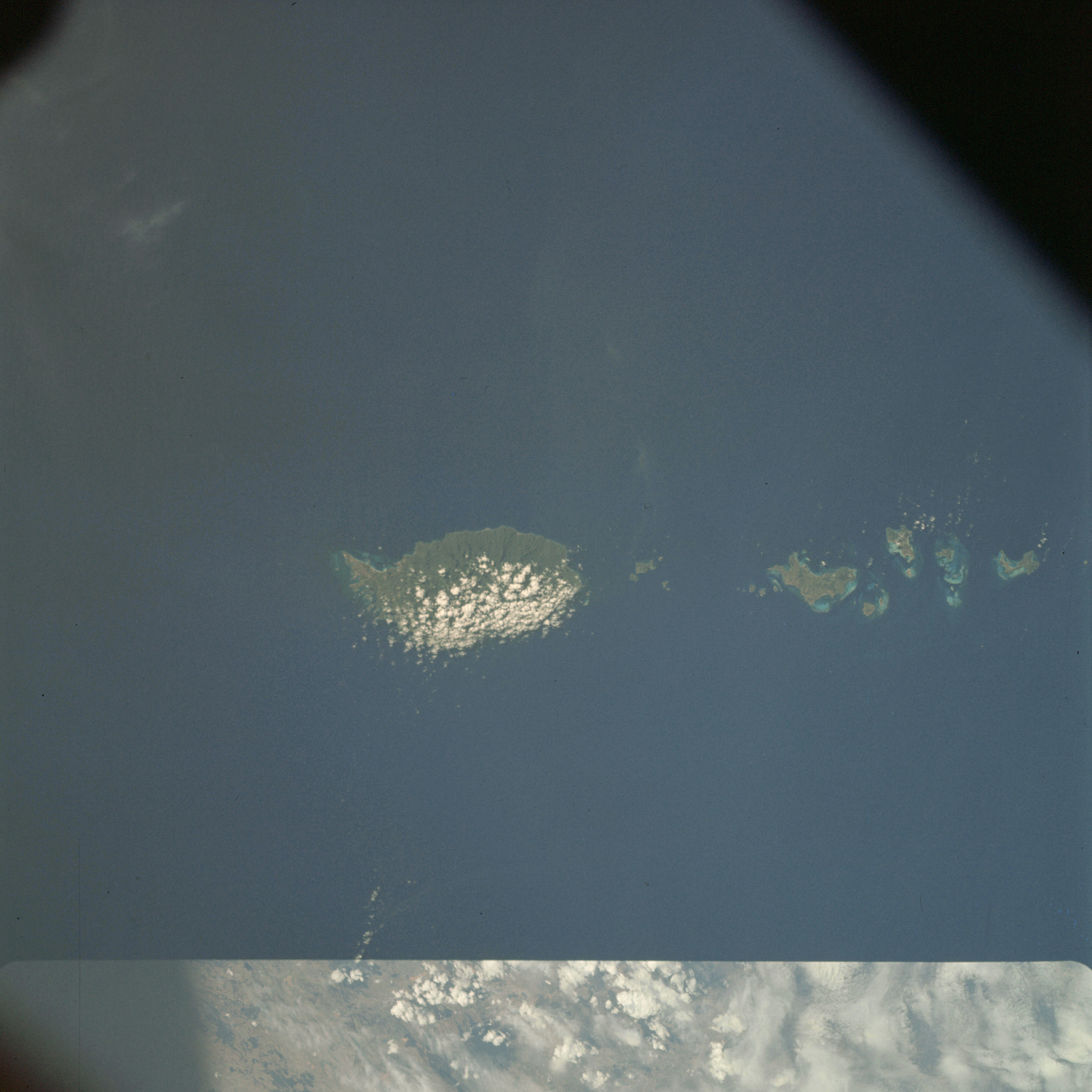 | AS09-25-3682 GEOGRAPHY/CARTOGRAPHY: Windward Islands, Island of Grenada looking south, Point Salines, City of St. George's, Carriacon Island, Grenada Trough west of Grenada Island. GEOLOGY/HYDROLOGY: Volcanic islands with adjacent coral reefs. FORESTRY: Tropical rainforest (dense). METEOROLOGY: Cumulus cloud build-up windward side of Grenada Island. Image credit: Image Science and Analysis Laboratory, NASA-Johnson Space Center. |
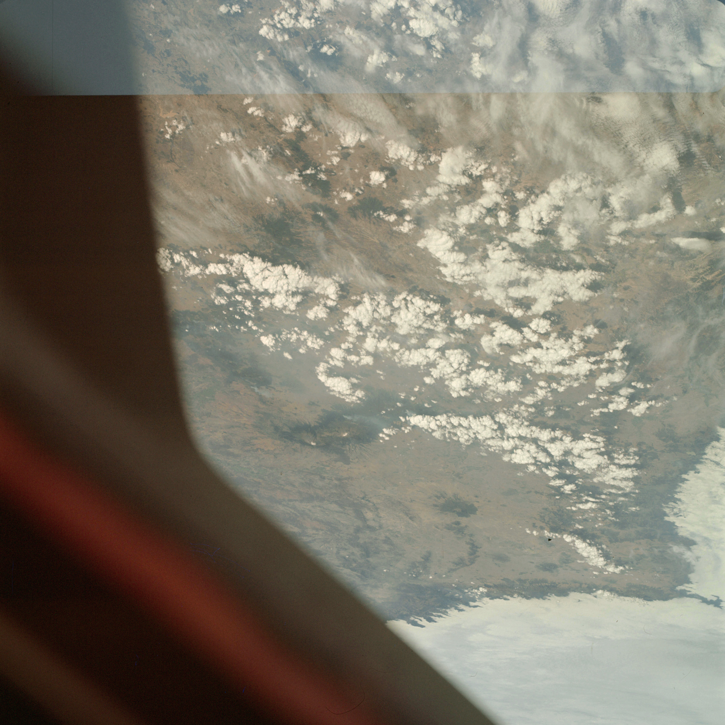 | AS09-25-3683 GEOGRAPHY/CARTOGRAPHY: Mexico, looking east southeast of Mexico City, Popocatepetl Volcano. GEOLOGY/HYDROLOGY: Volcanic mountains and complex mountain region with alluvial deposits. FORESTRY: Sparse desert shrubform, same broadleaf at higher elevations, smoke plumes visible. METEOROLOGY: Cirro-cumulus, cumulus humilis, nimbo-stratus. Image credit: Image Science and Analysis Laboratory, NASA-Johnson Space Center. |
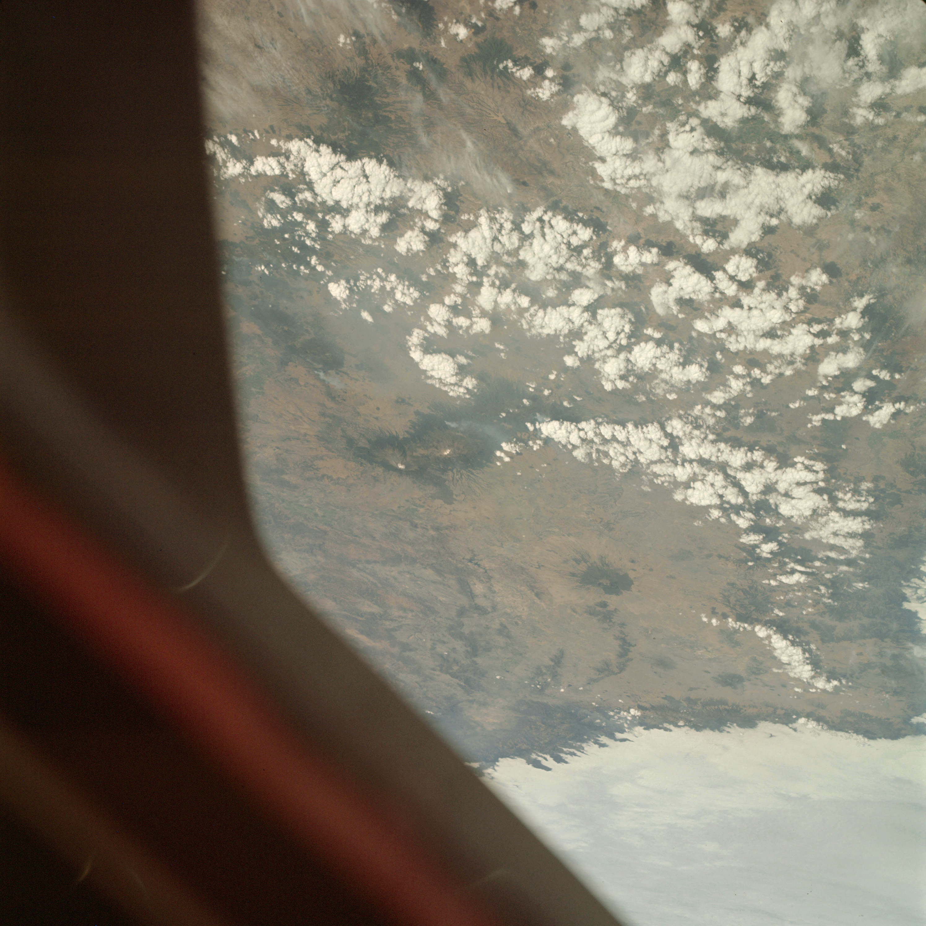 | AS09-25-3684 GEOGRAPHY /CARTOGRAPHY: Mexico, near Puebla, Popocatepetl Volcano. GEOLOGY/HYDROLOGY: Volcanic and complex mountain region with alluvial deposits. FORESTRY: Desert shrubform with some broadleaf evergreen at higher elevations, smoke plumes visible. METEOROLOGY: Cumulus humilis, nimbo-stratus. Image credit: Image Science and Analysis Laboratory, NASA-Johnson Space Center. |
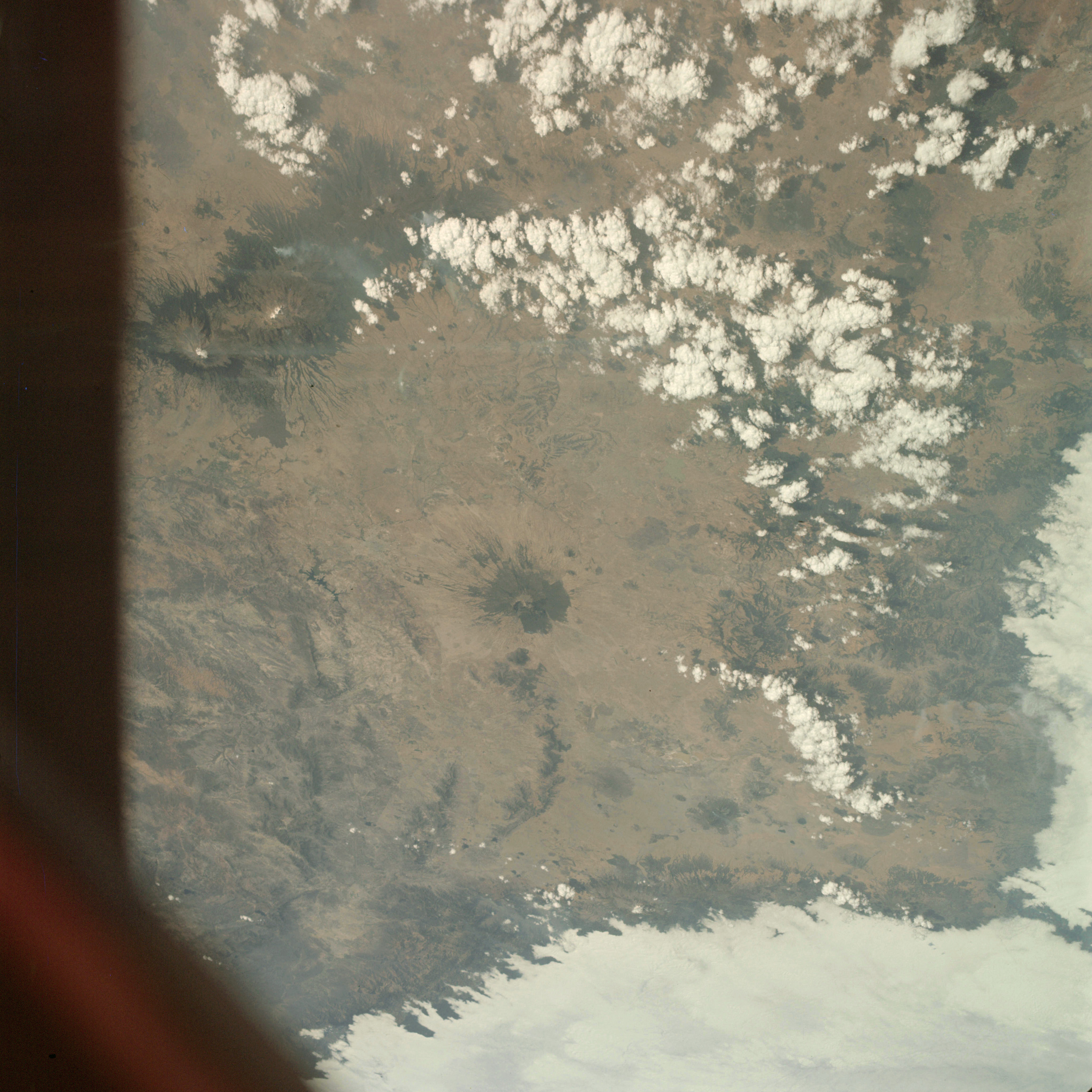 | AS09-25-3685 GEOGRAPHY/CARTOGRAPHY: Mexico, City of Puebla, Popocatepetl Volcano. GEOLOGY/HYDROLOGY: Volcanic and complex mountain region. FORESTRY: Desert shrubform with some broadleaf evergreen at higher elevations, smoke plumes at higher elevations. METEOROLOGY: Cumulus humilis, nimbo-stratus. Image credit: Image Science and Analysis Laboratory, NASA-Johnson Space Center. |
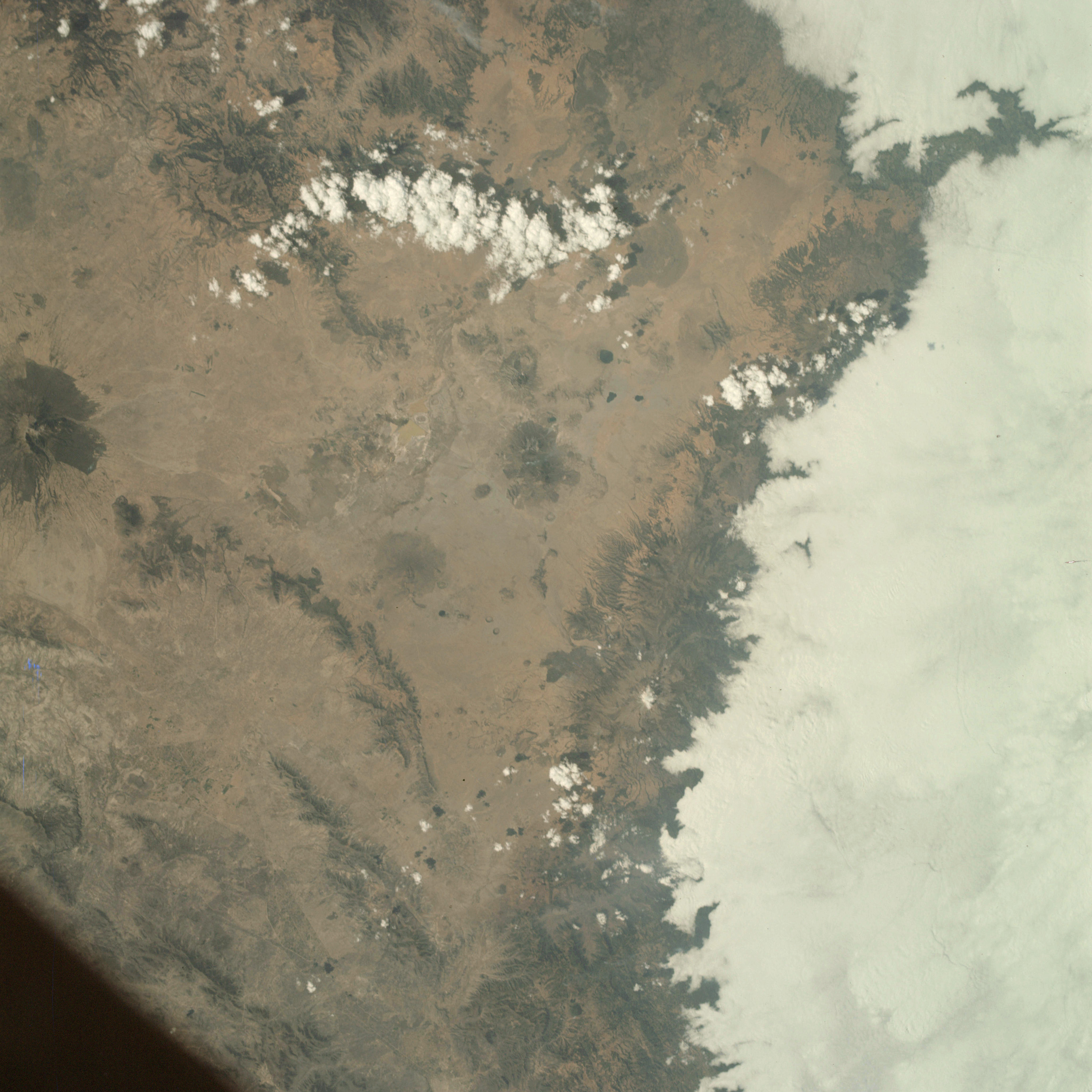 | AS09-25-3686 GEOLOGY/HYDROLOGY: Volcanic and complex hills and mountains. FORESTRY: Desert shrubform. METEOROLOGY: Cumulus humilis, nimbo-stratus. Image credit: Image Science and Analysis Laboratory, NASA-Johnson Space Center. |
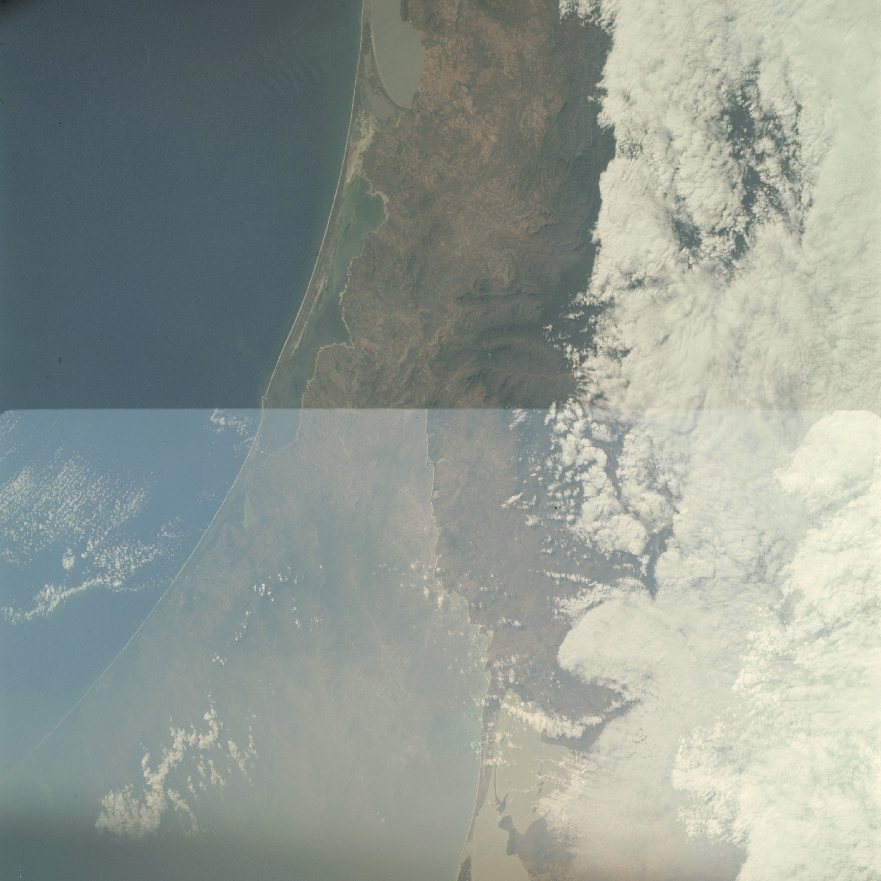 | AS09-25-3687 GEOGRAPHY/CARTOGRAPHY: Mexico, Gulf of Tehuantapel, Superior, Inferior and Mar Muerto Lagoons, Village of Ixhuatan. GEOLOGY/HYDROLOGY: Coastal plain, complex mountains and rugged hills. AGRICULTURE: Some field patterns along coast. FORESTRY: Desert shrubform with broadleaf evergreen at higher elevations. METEOROLOGY: Cirro-cumulus, alto-cumulus. Image credit: Image Science and Analysis Laboratory, NASA-Johnson Space Center. |
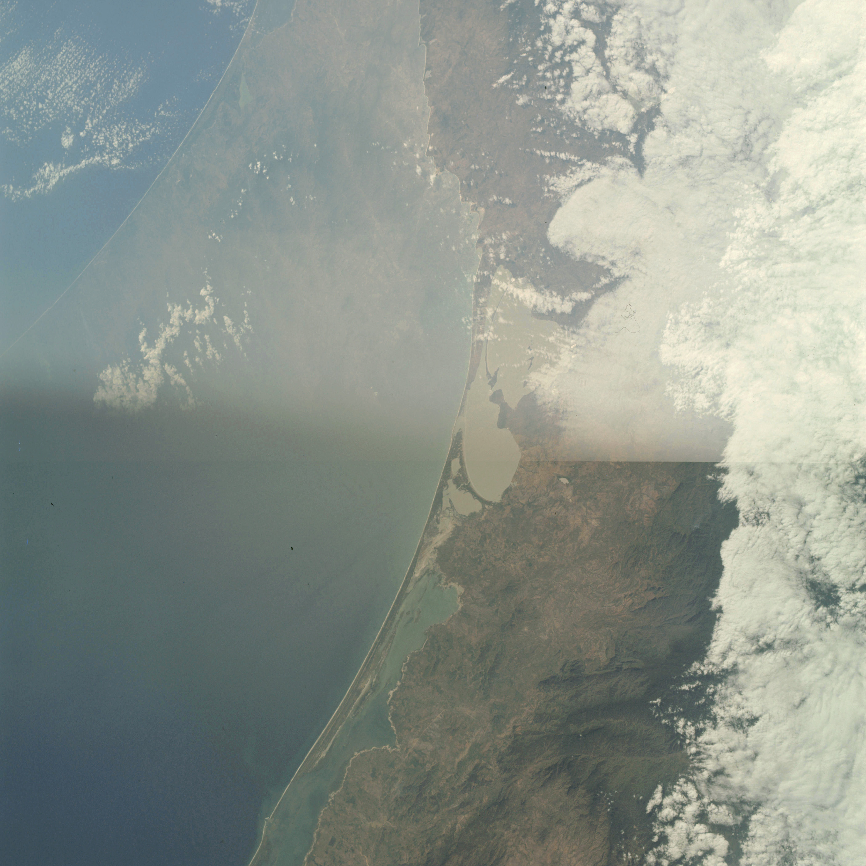 | AS09-25-3688 Double Exposure with 3687. Image credit: Image Science and Analysis Laboratory, NASA-Johnson Space Center. |
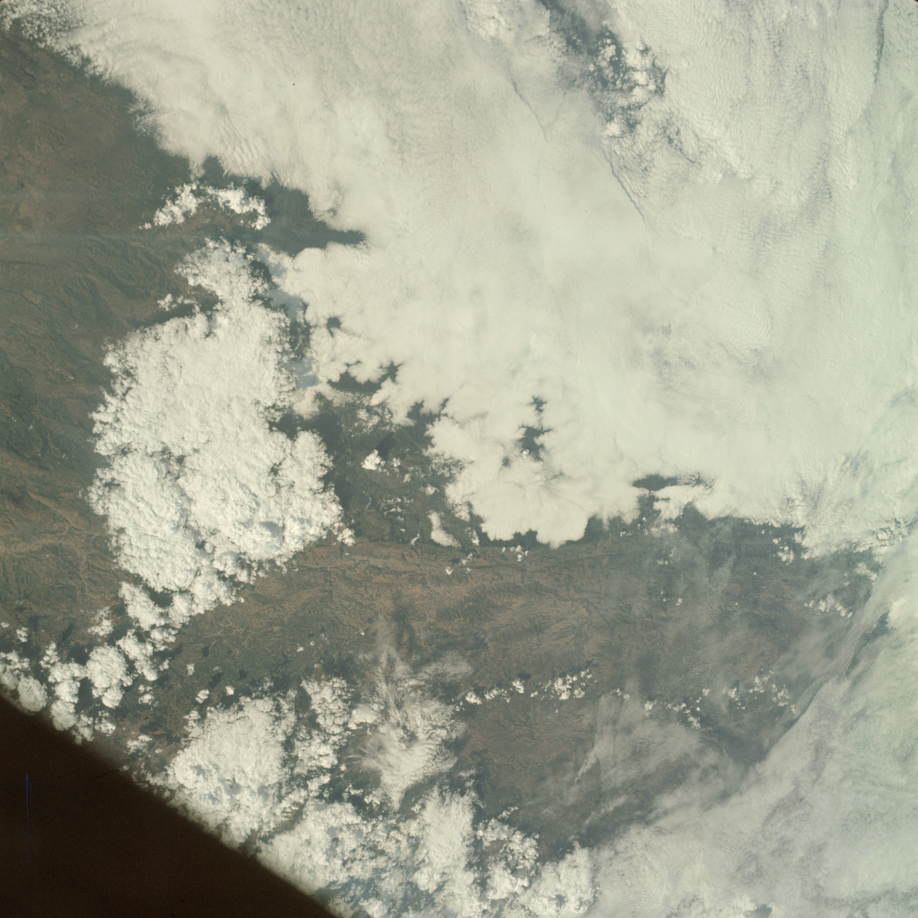 | AS09-25-3689 GEOGRAPHY/CARTOGRAPHY: Guatemala, Sierra Madre Mountains near Guatemala City. GEOLOGY/HYDROLOGY: Complex mountain region. FORESTRY: Mixed broadleaf deciduous and needleleaf evergreen. METEOROLOGY: Cirro-cumulus, alto-cumulus, cumulus congestus cumulo nimbus. Image credit: Image Science and Analysis Laboratory, NASA-Johnson Space Center. |
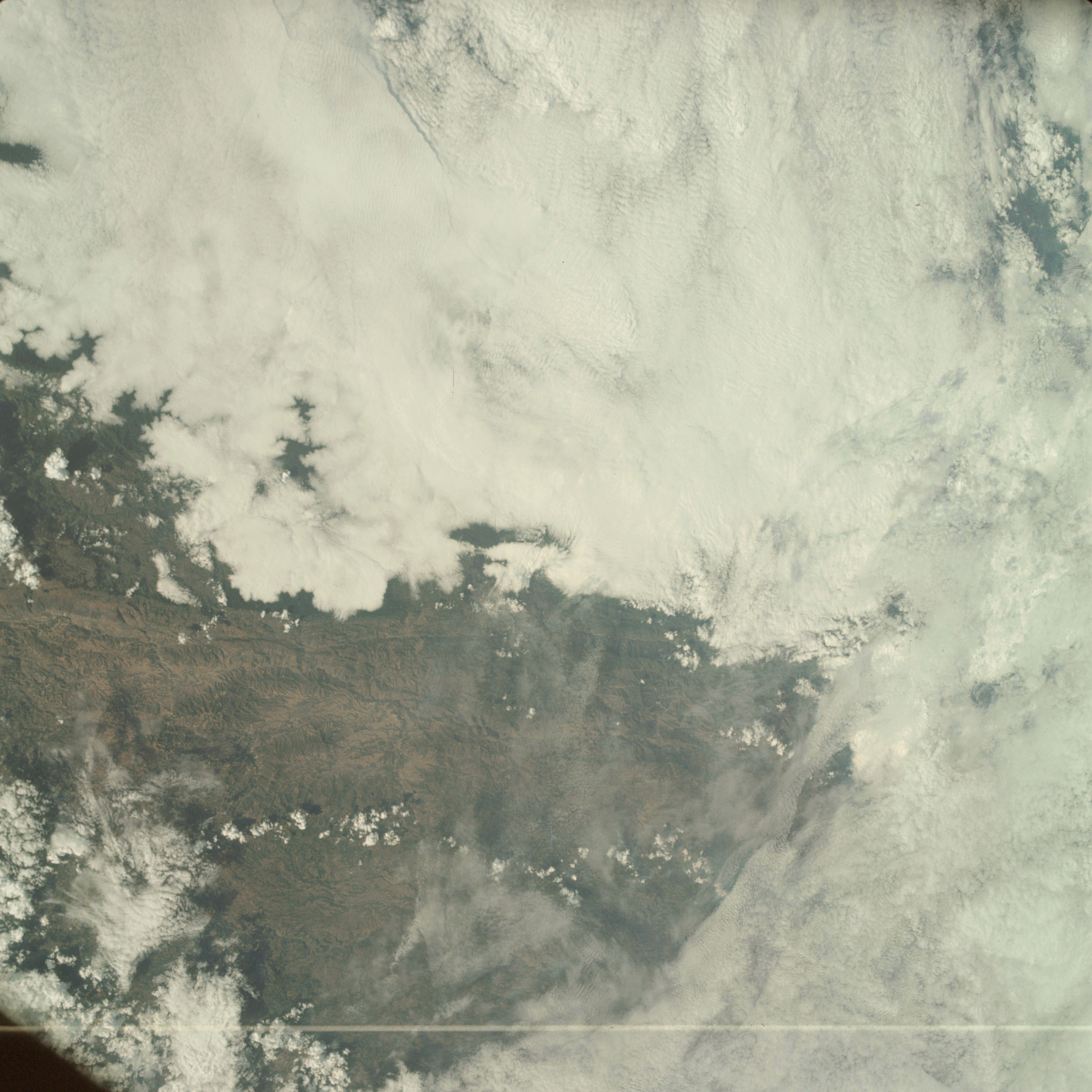 | AS09-25-3690 GEOGRAPHY/CARTOGRAPHY: Guatemala, Sierra Madre Mountains near Guatemala City. GEOLOGY/HYDROLOGY: Complex mountain region. FORESTRY: Mixed broadleaf deciduous and needleleaf evergreen. METEOROLOGY: Cirro-cumulus, alto-cumulus, cumulus congestus. Image credit: Image Science and Analysis Laboratory, NASA-Johnson Space Center. |
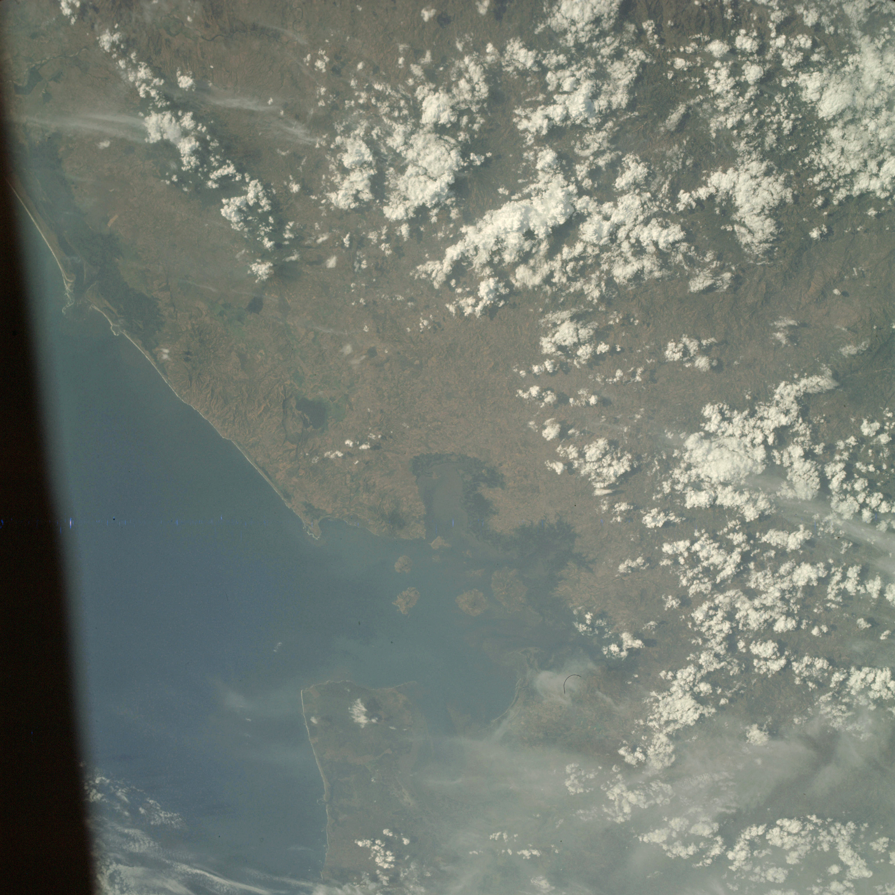 | AS09-25-3691 GEOGRAPHY/CARTOGRAPHY: El Salvador, Honduras, Nicaragua, Gulf of Fonseca, Point Amapala, Point Cosiguina, Meanguera Island, Village of Amapala. GEOLOGY/HYDROLOGY: Complex hills and rugged coastal plain. AGRICULTURE: Some cultivation along coast. FORESTRY: Semi-deciduous broadleaf forests. METEOROLOGY: Cirrus fibratus, cumulus humilis, cumulus congestus. OCEANOGRAPHY: Some submarine features and current patterns visible within the Gulf of Fonseca. Image credit: Image Science and Analysis Laboratory, NASA-Johnson Space Center. |
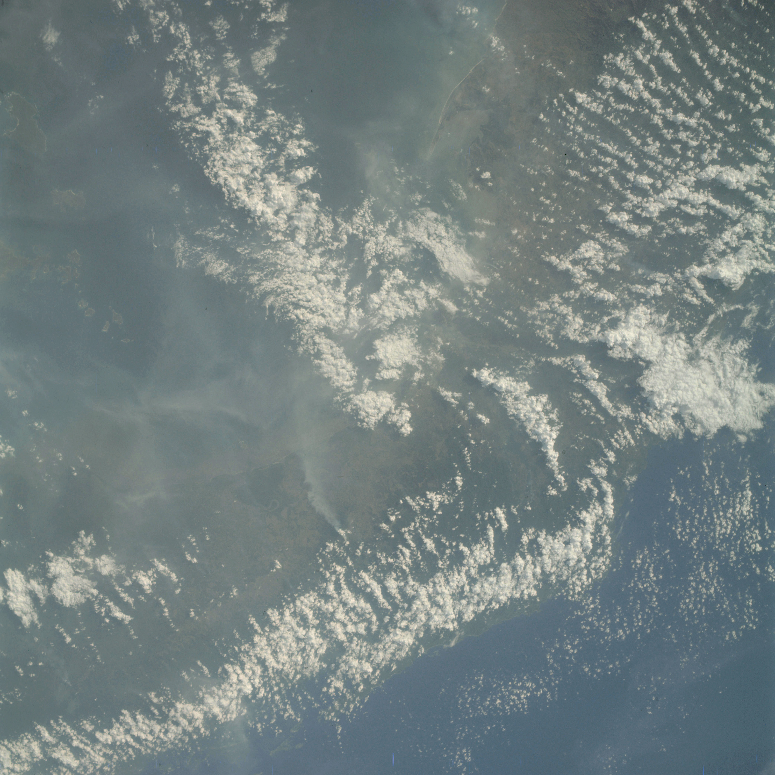 | AS09-25-3692 GEOGRAPHY/CARTOGRAPHY: Panama Canal Zone, Bay of Panama, Point Chame, Panama City, Pedro Gonzalez, San Jose and Rey Islands. GEOLOGY/HYDROLOGY: Rugged coastal plain and hill region. FORESTRY: Broadleaf evergreen forests, smoke visible. METEOROLOGY: Haze from smoke, cirro-cumulus, cumulus humilis, cumulus congestus. Image credit: Image Science and Analysis Laboratory, NASA-Johnson Space Center. |
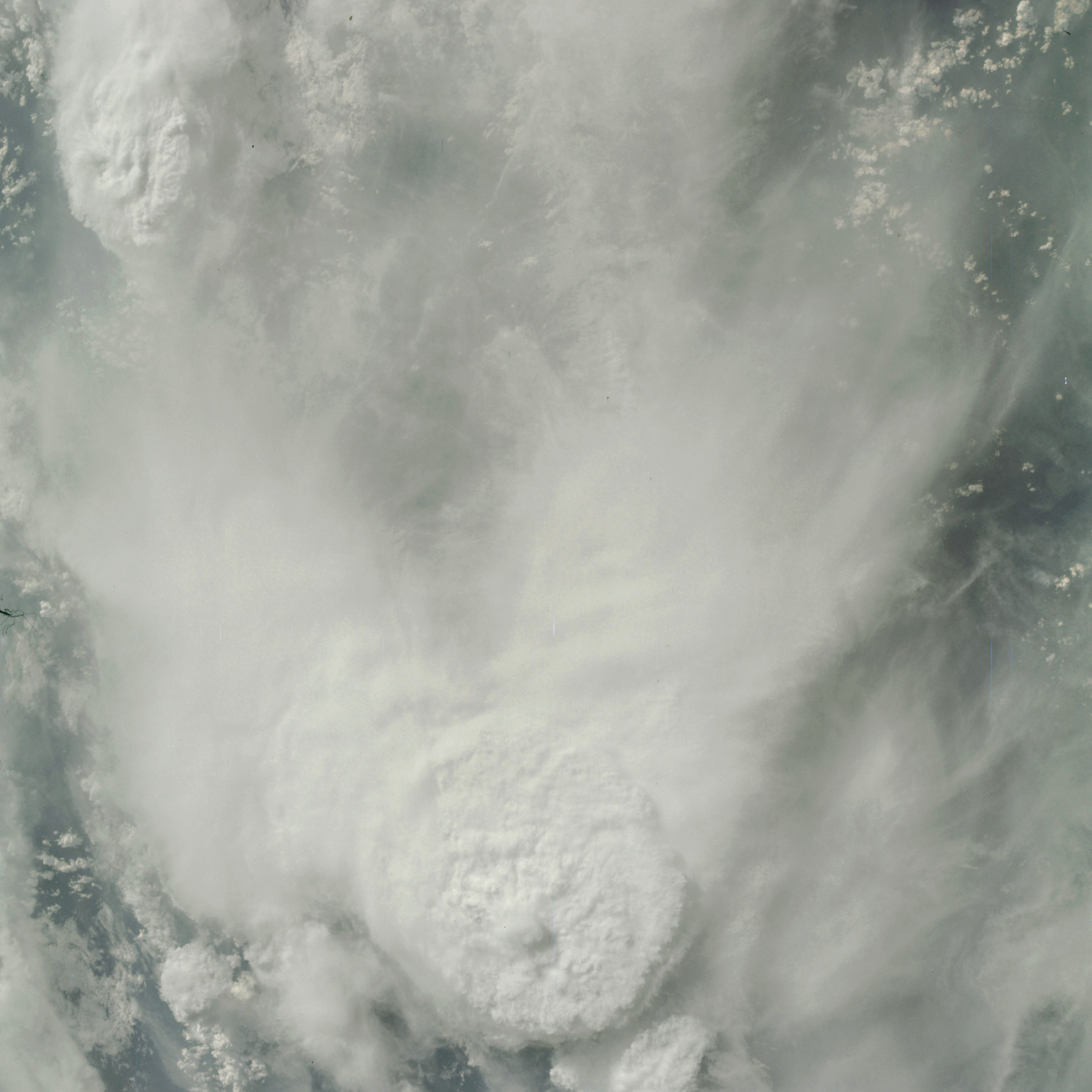 | AS09-25-3693 GEOGRAPHY/CARTOGRAPHY: South America, Area near Bogata, Columbia. METEOROLOGY: Build-up of large cumulo-nimbus on windward side of Andes Mountains, cumulus congestus, the large thunderhead is surrounded by false cirrus. Image credit: Image Science and Analysis Laboratory, NASA-Johnson Space Center. |
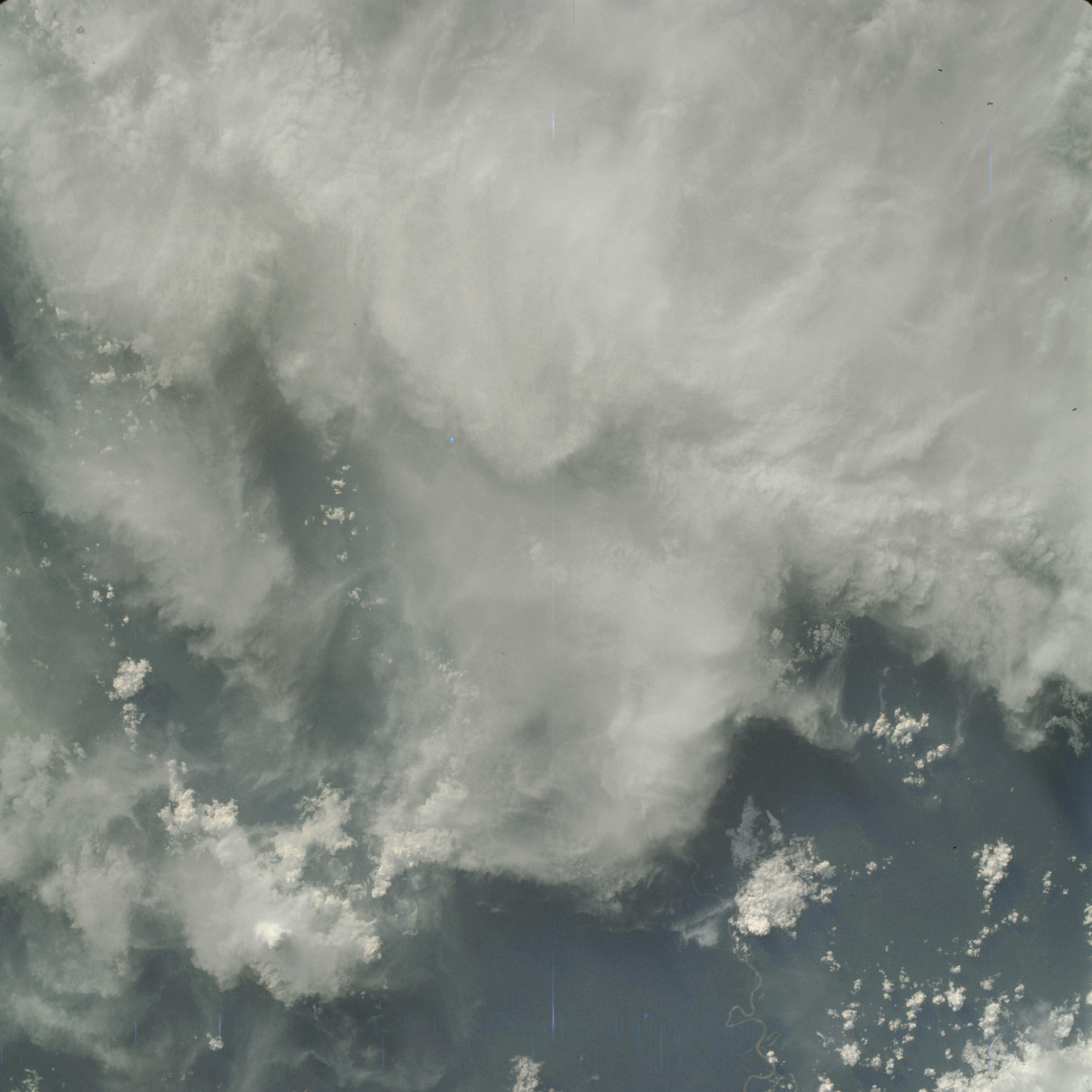 | AS09-25-3694 GEOGRAPHY/CARTOGRAPHY: South America, Area southeast of Bogata, Columbia. GEOLOGY/HYDROLOGY: Meandering river system. METEOROLOGY: Cirro-stratus, cumulus humilis, cumulus congestus, cumulo-nimbus. Image credit: Image Science and Analysis Laboratory, NASA-Johnson Space Center. |
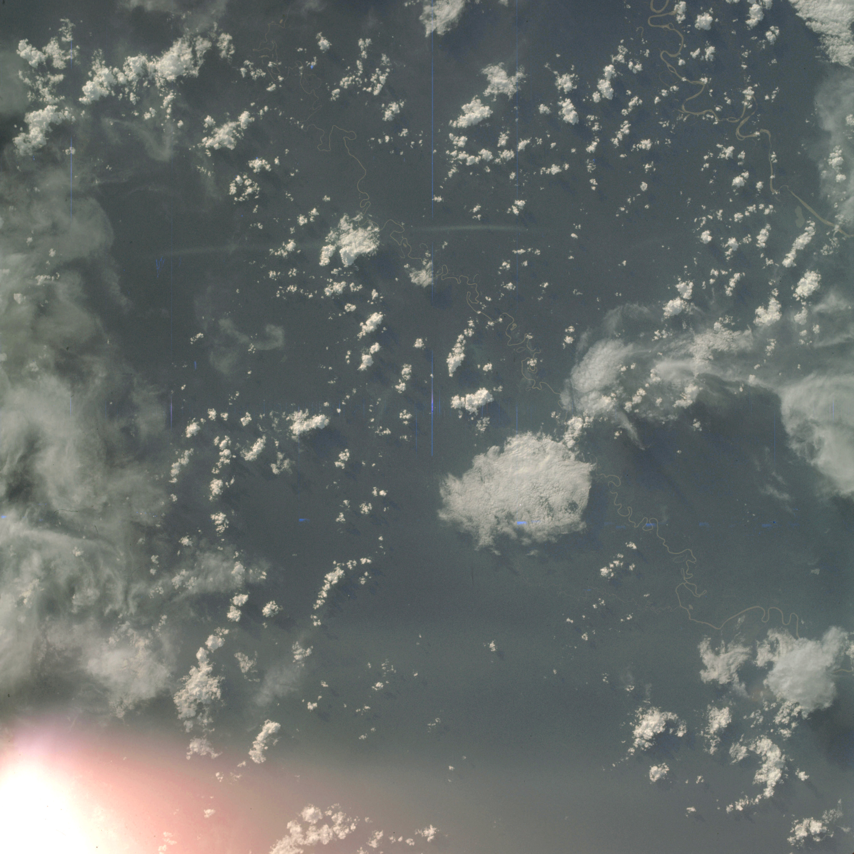 | AS09-25-3695 GEOGRAPHY/CARTOGRAPHY: South America, Area southeast of Bogata, Columbia. HYDROLOGY: Meandering river system. METEOROLOGY: Cirrus fibratus, cumulus humilis, cumulus congestus. Image credit: Image Science and Analysis Laboratory, NASA-Johnson Space Center. |
|
|
| 70-mm magazine F - AS09-24-3619 to 3681 |
Photography Index |