
 |
 |
 |
| 70-mm magazine D - AS09-23-3475 to 3618 |
Photography Index | 70-mm magazine G - AS09-25-3682 to 3695 |
No copyright is asserted for NASA photographs. If a recognizable person appears in a photo, use for commercial purposes may infringe a right of privacy or publicity. Photos may not be used to state or imply the endorsement by NASA or by any NASA employee of a commercial product, process or service, or used in any other manner that might mislead. Accordingly, it is requested that if a NASA photograph is used in advertising and other commercial promotion, layout and copy be submitted to NASA prior to release. NASA photos reproduced from this archive should include photo credit to "NASA" or "National Aeronautics and Space Administration" and should include scanning credit to the appropriate individuals or agencies as noted in the captions.
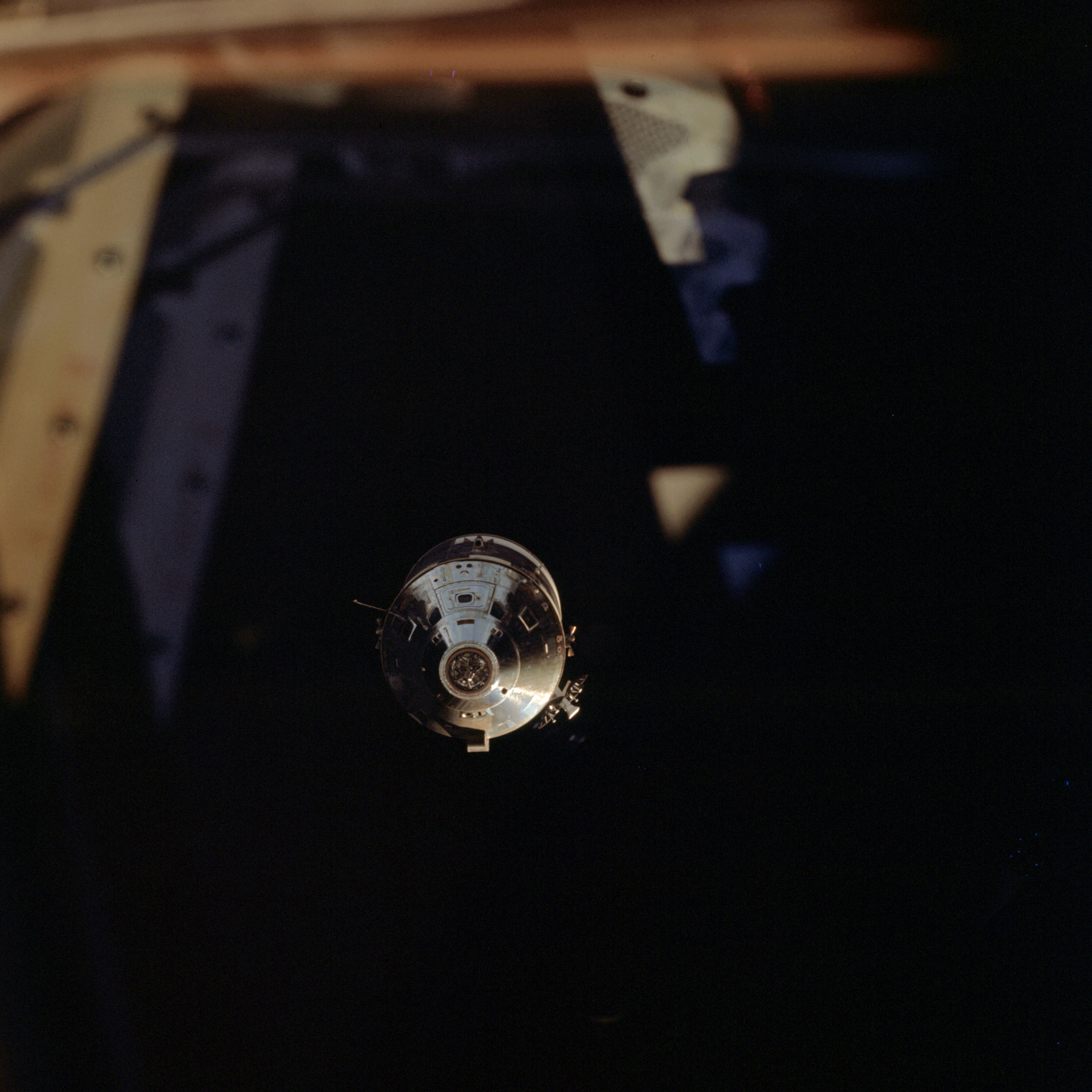 | AS09-24-3619 Command Module Image credit: Image Science and Analysis Laboratory, NASA-Johnson Space Center. |
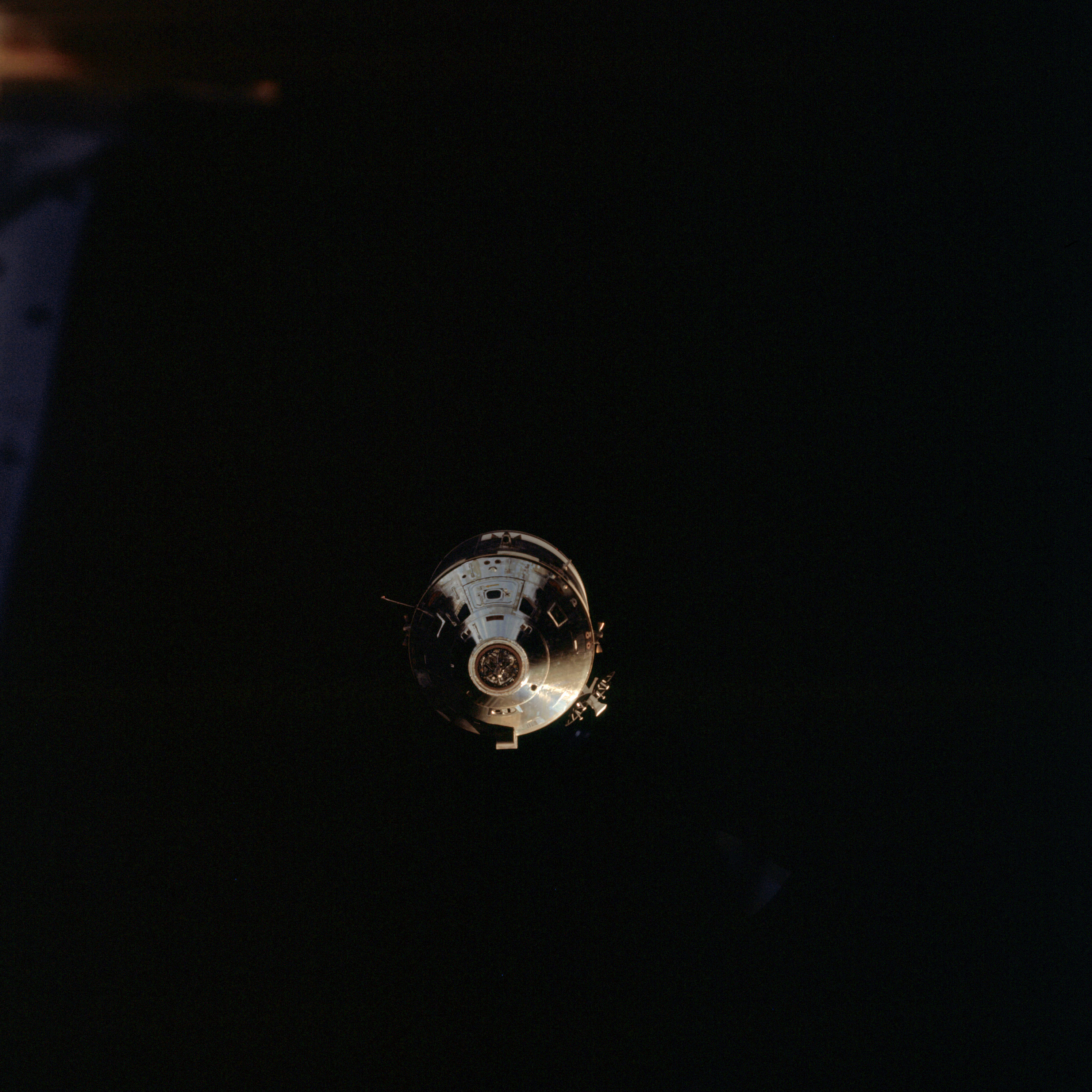 | AS09-24-3620 Command Module Image credit: Image Science and Analysis Laboratory, NASA-Johnson Space Center. |
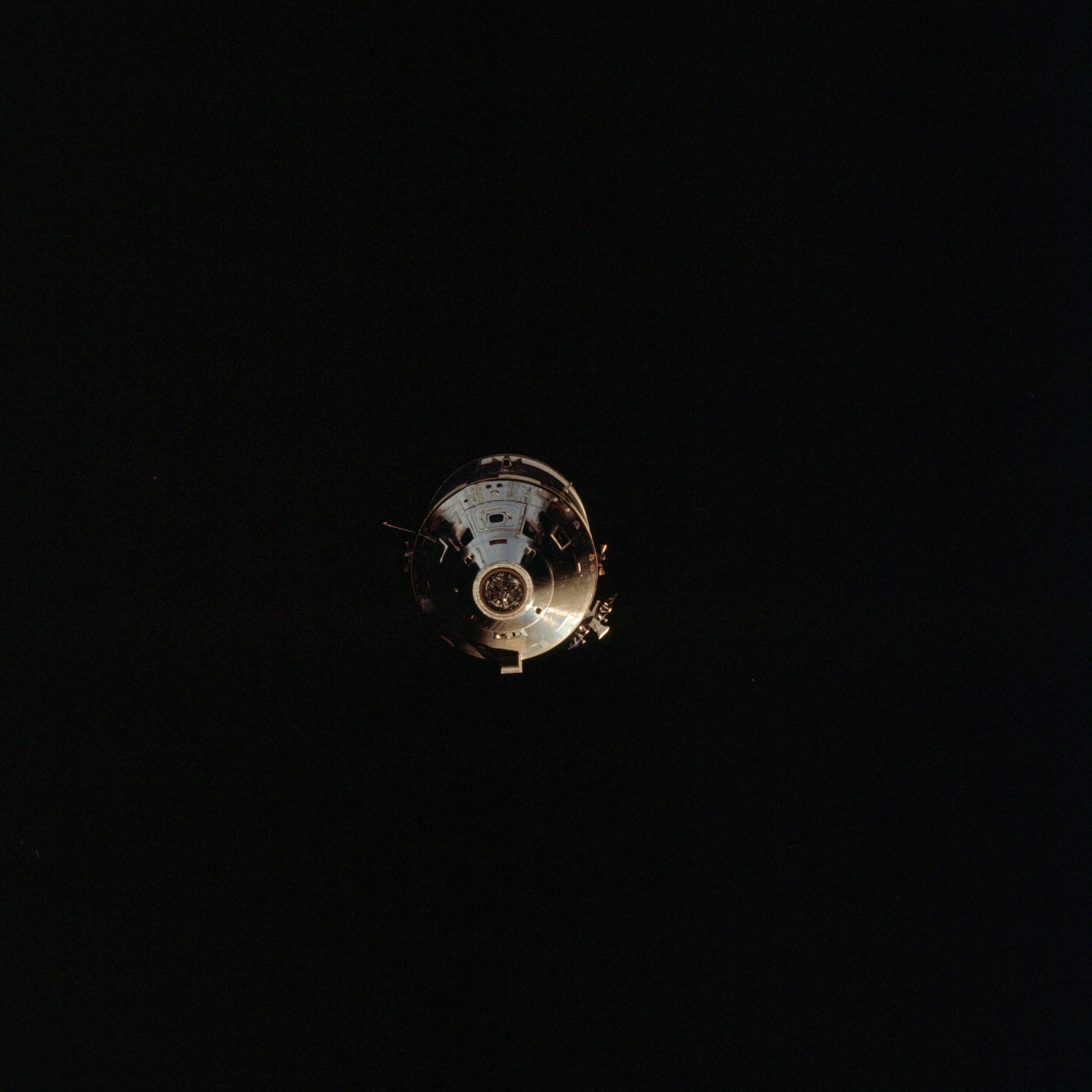 | AS09-24-3621 Command Module Image credit: Image Science and Analysis Laboratory, NASA-Johnson Space Center. |
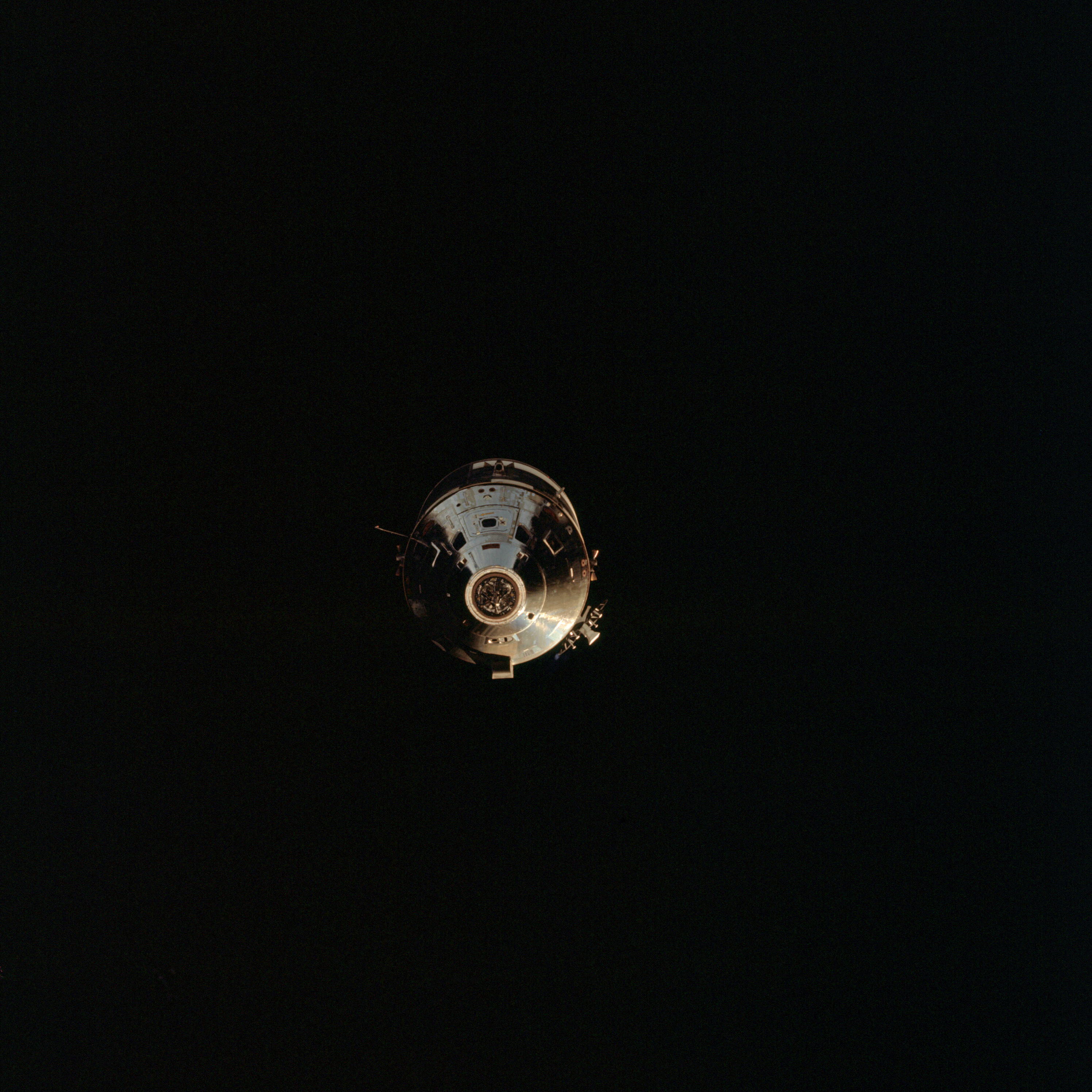 | AS09-24-3622 Command Module Image credit: Image Science and Analysis Laboratory, NASA-Johnson Space Center. |
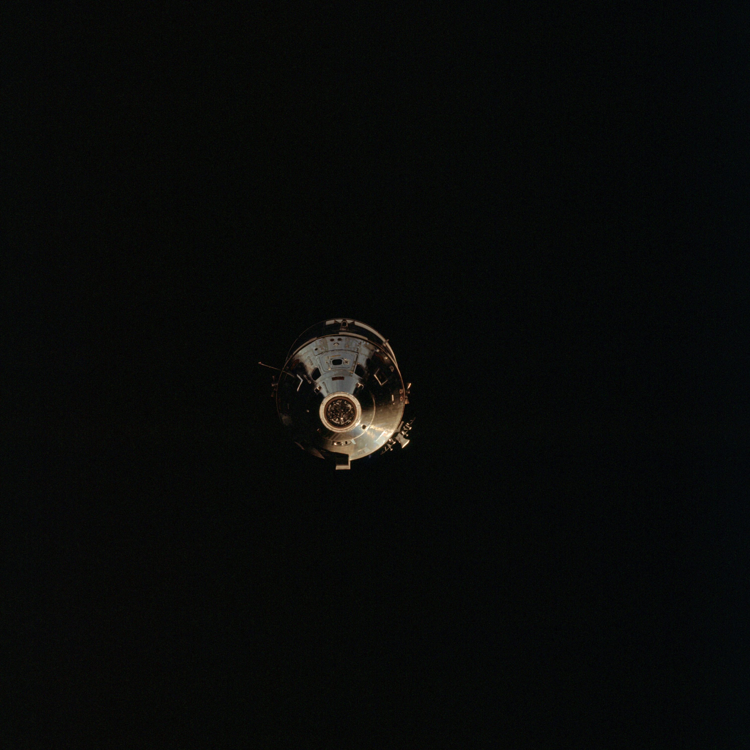 | AS09-24-3623 Command Module Image credit: Image Science and Analysis Laboratory, NASA-Johnson Space Center. |
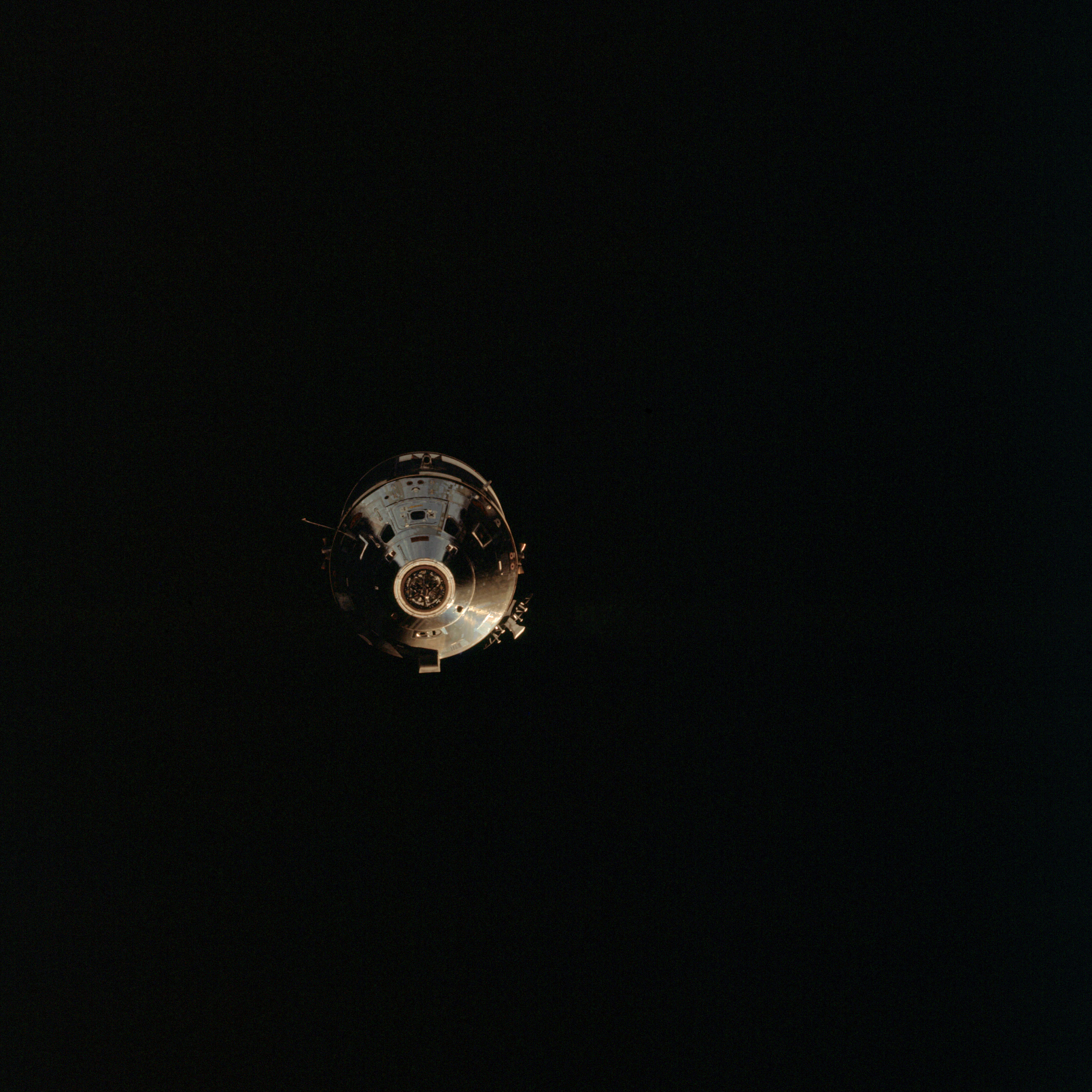 | AS09-24-3624 Command Module Image credit: Image Science and Analysis Laboratory, NASA-Johnson Space Center. |
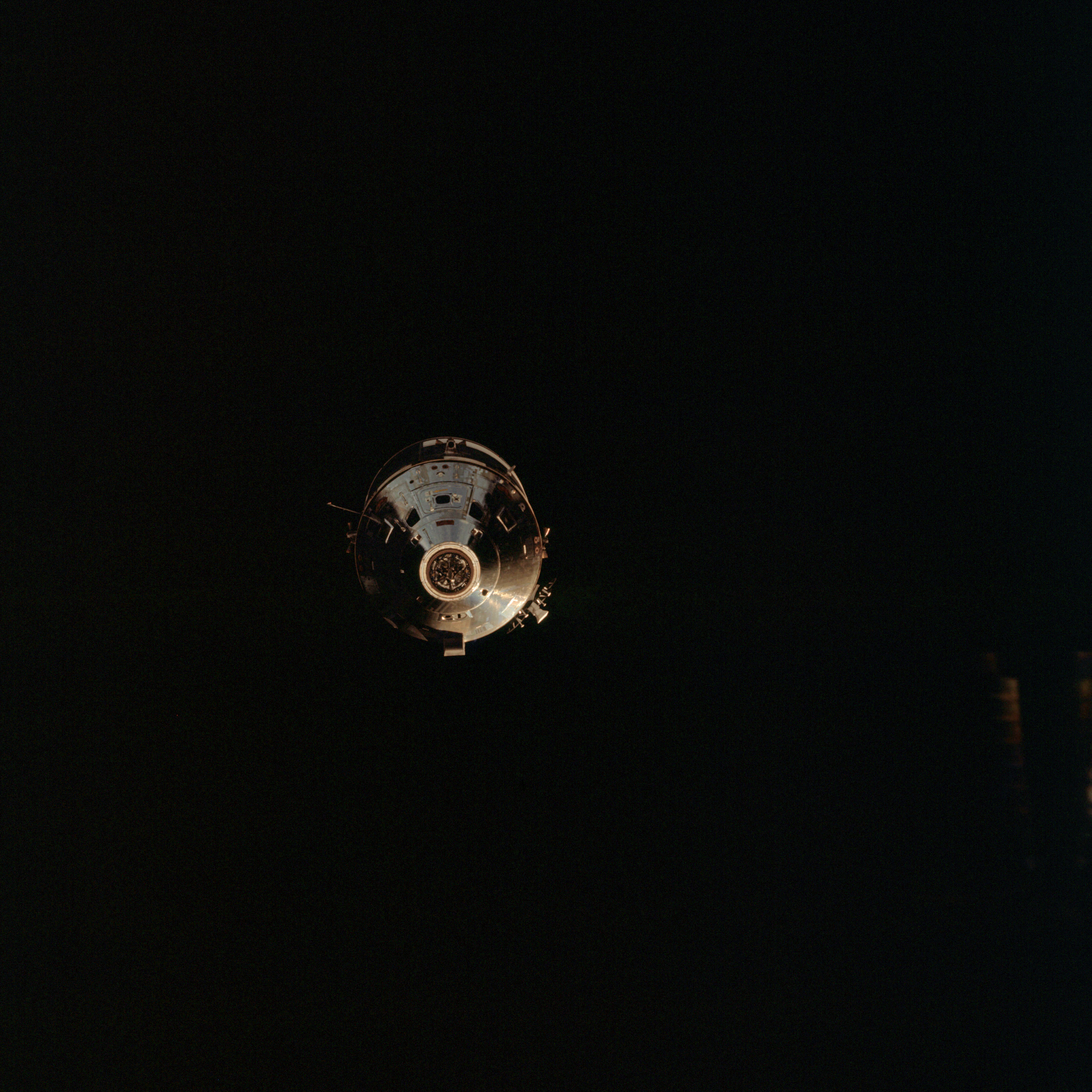 | AS09-24-3625 Command Module Image credit: Image Science and Analysis Laboratory, NASA-Johnson Space Center. |
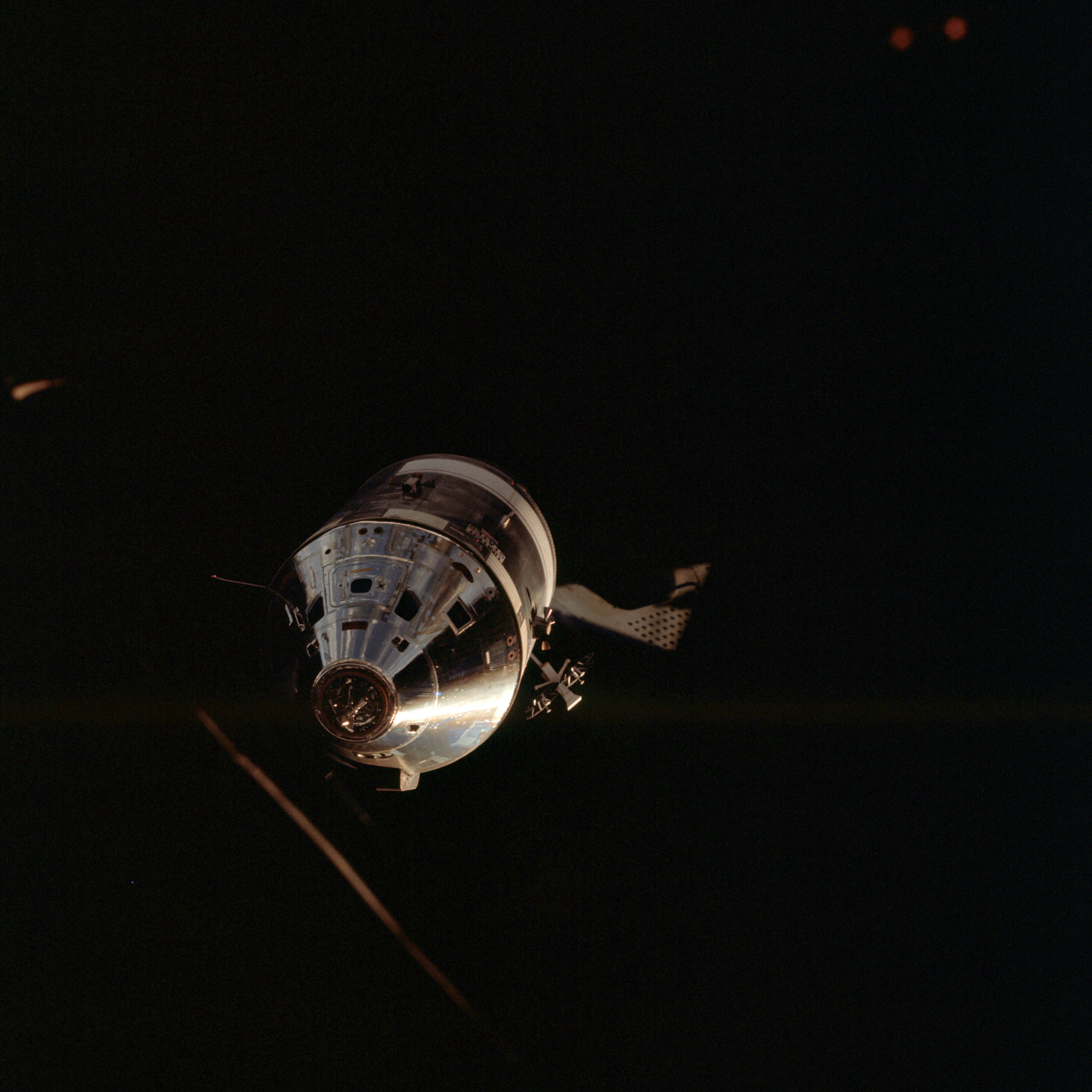 | AS09-24-3626 Command Module Image credit: Image Science and Analysis Laboratory, NASA-Johnson Space Center. |
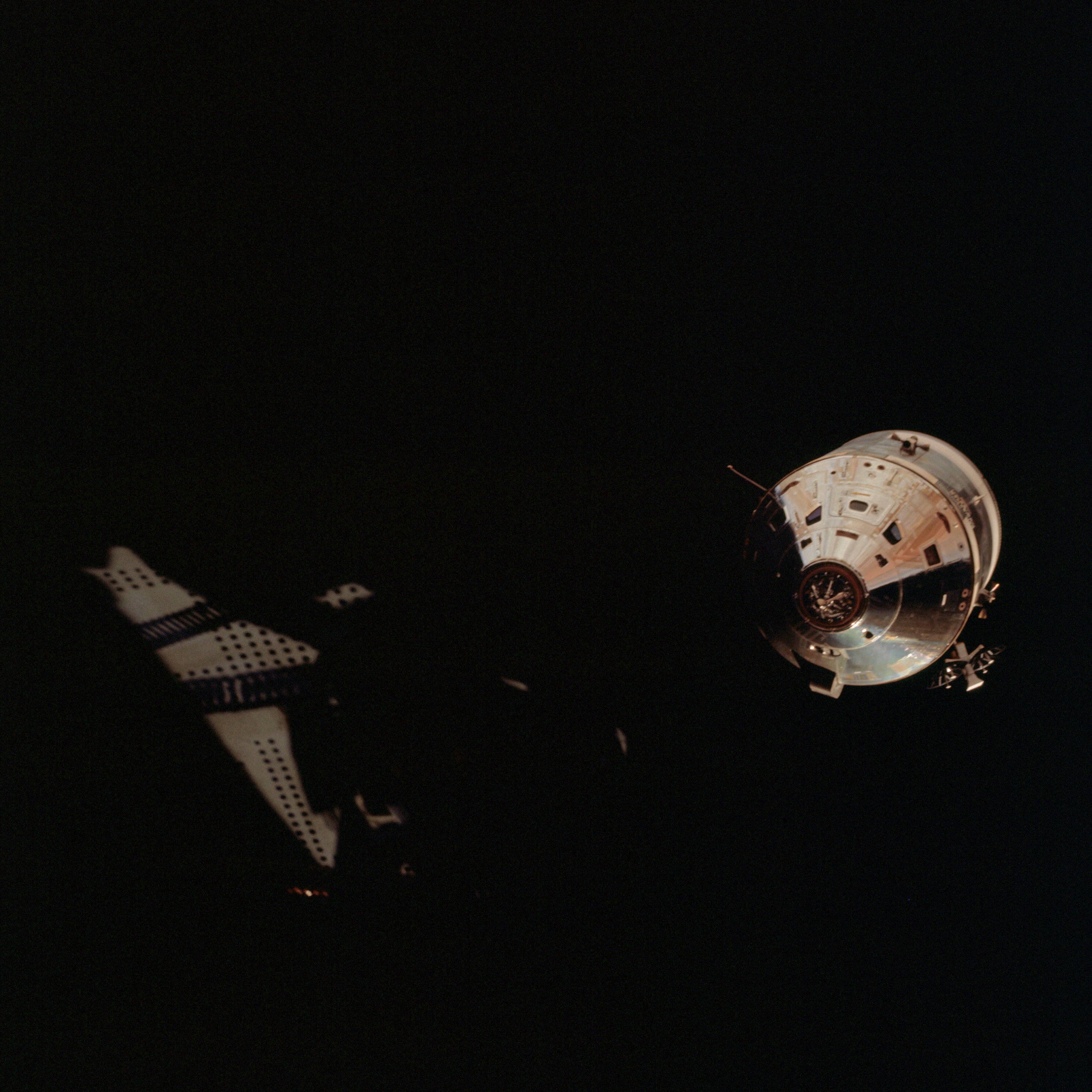 | AS09-24-3627 Command Module Image credit: Image Science and Analysis Laboratory, NASA-Johnson Space Center. |
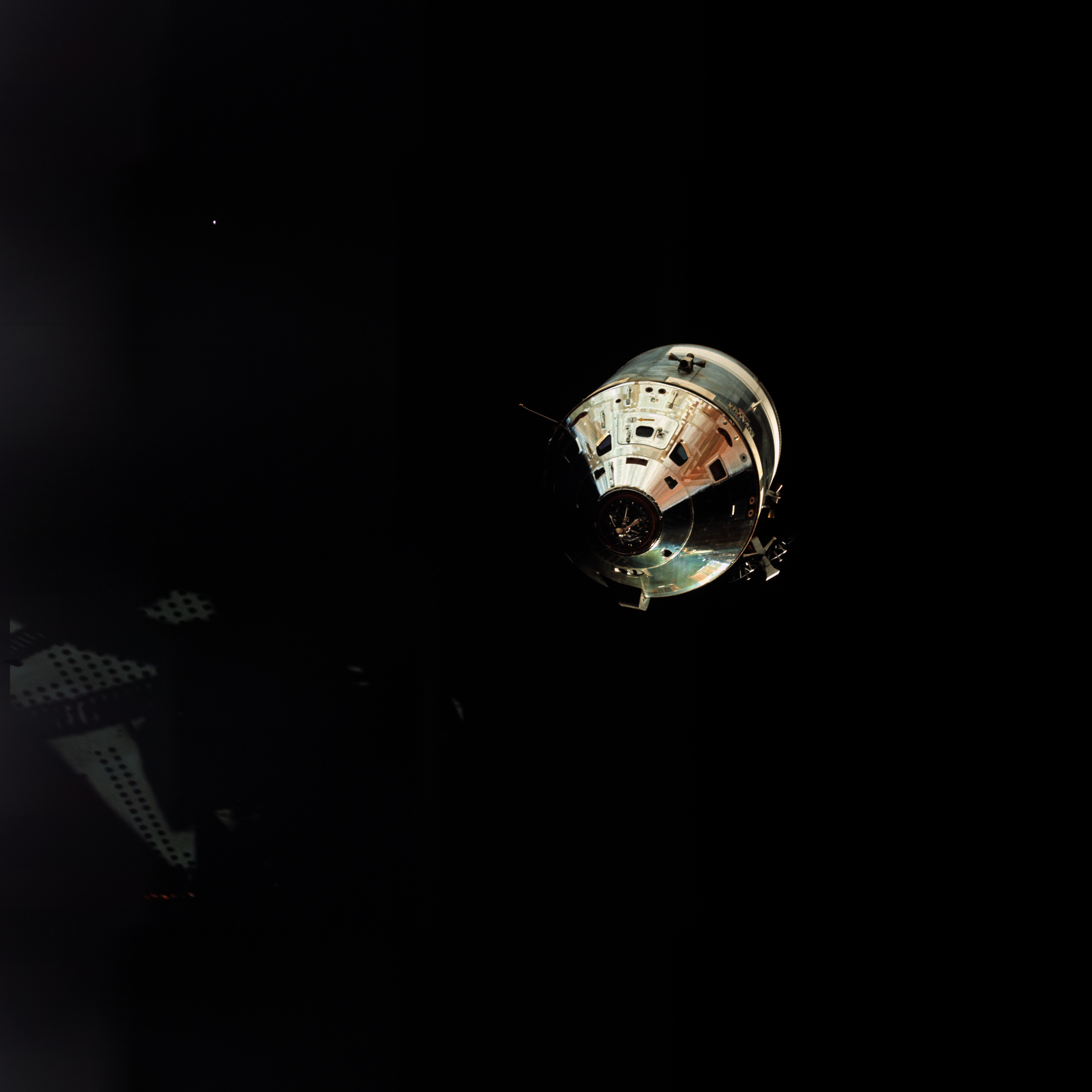 | AS09-24-3628 Command Module Image credit: Image Science and Analysis Laboratory, NASA-Johnson Space Center. |
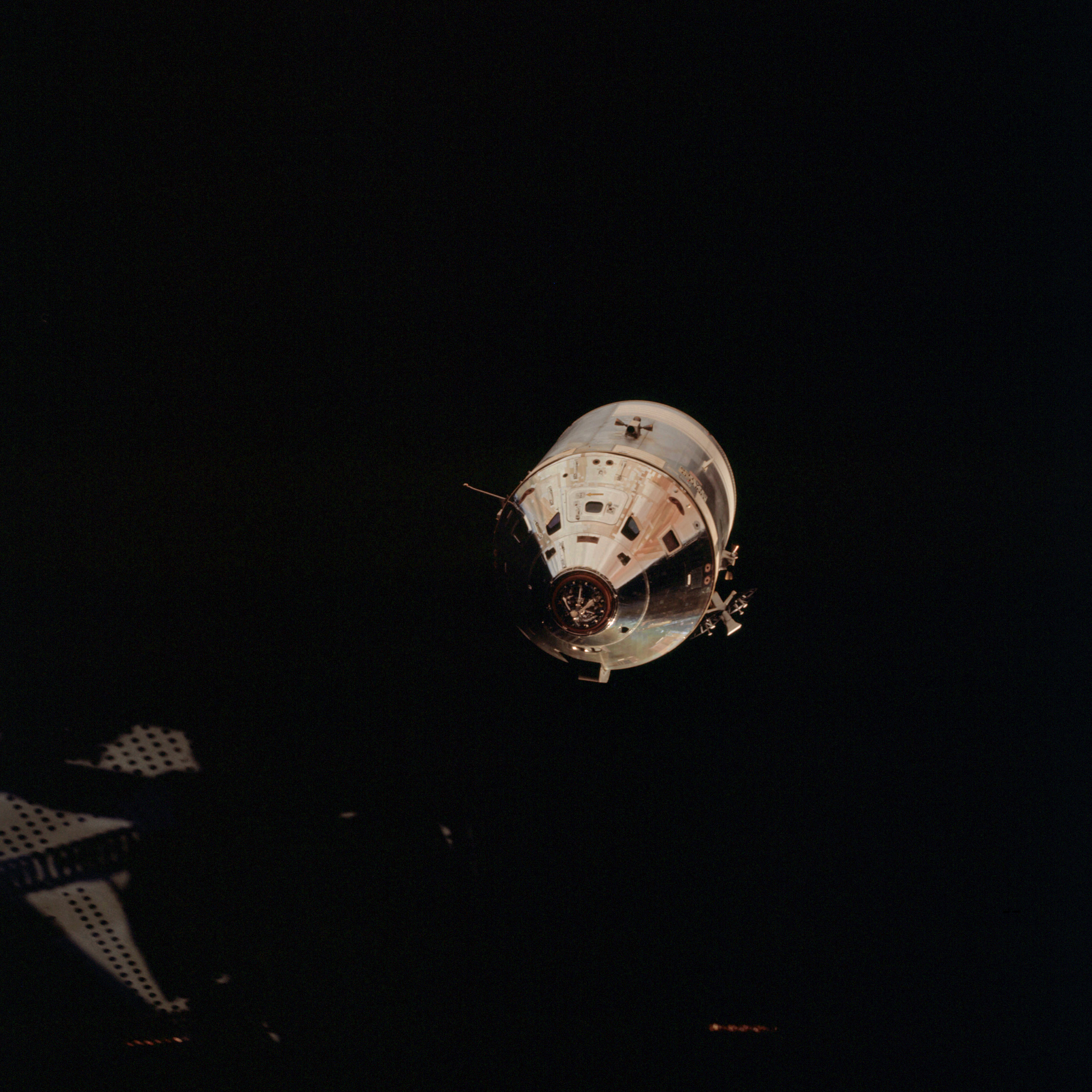 | AS09-24-3629 Command Module Image credit: Image Science and Analysis Laboratory, NASA-Johnson Space Center. |
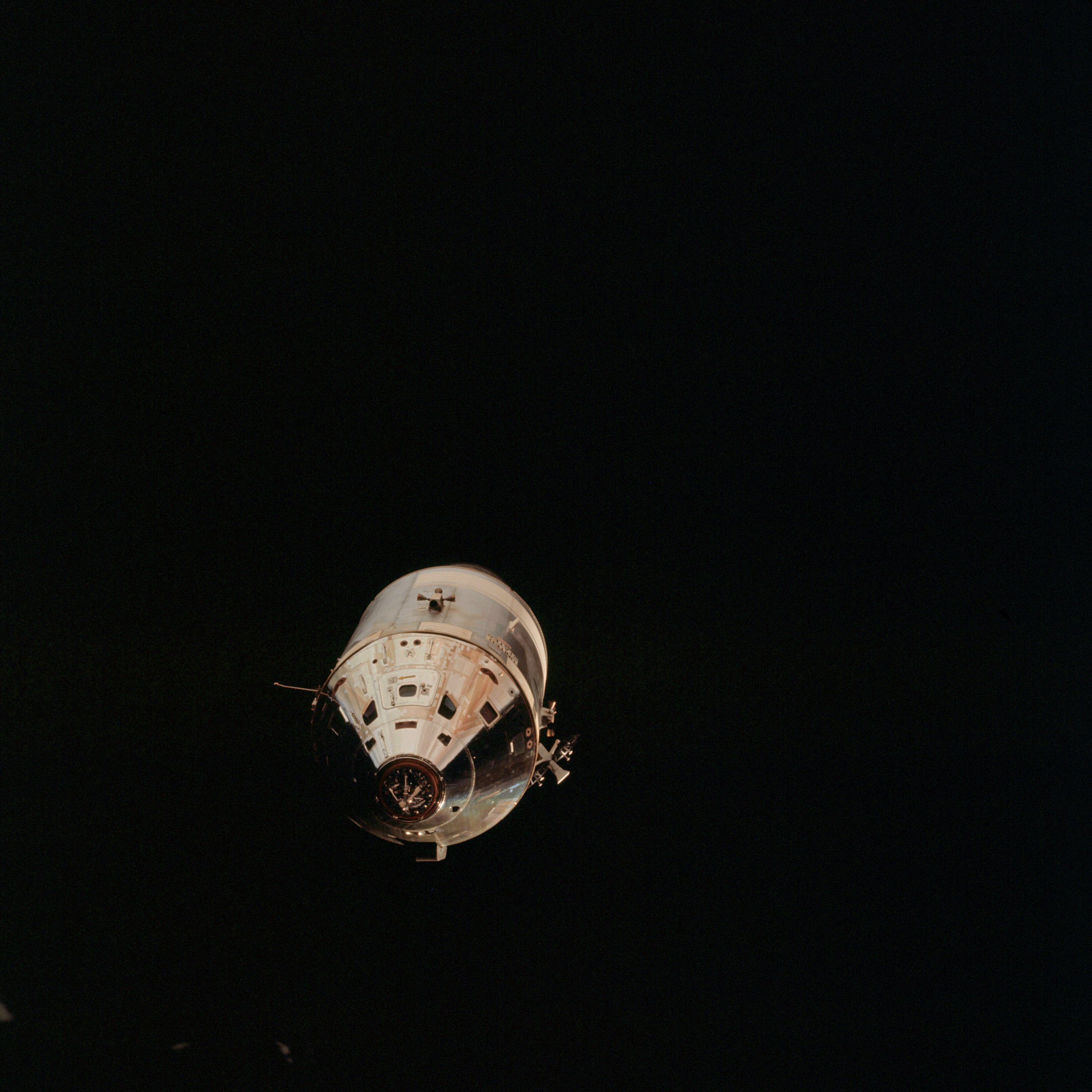 | AS09-24-3630 Command Module Image credit: Image Science and Analysis Laboratory, NASA-Johnson Space Center. |
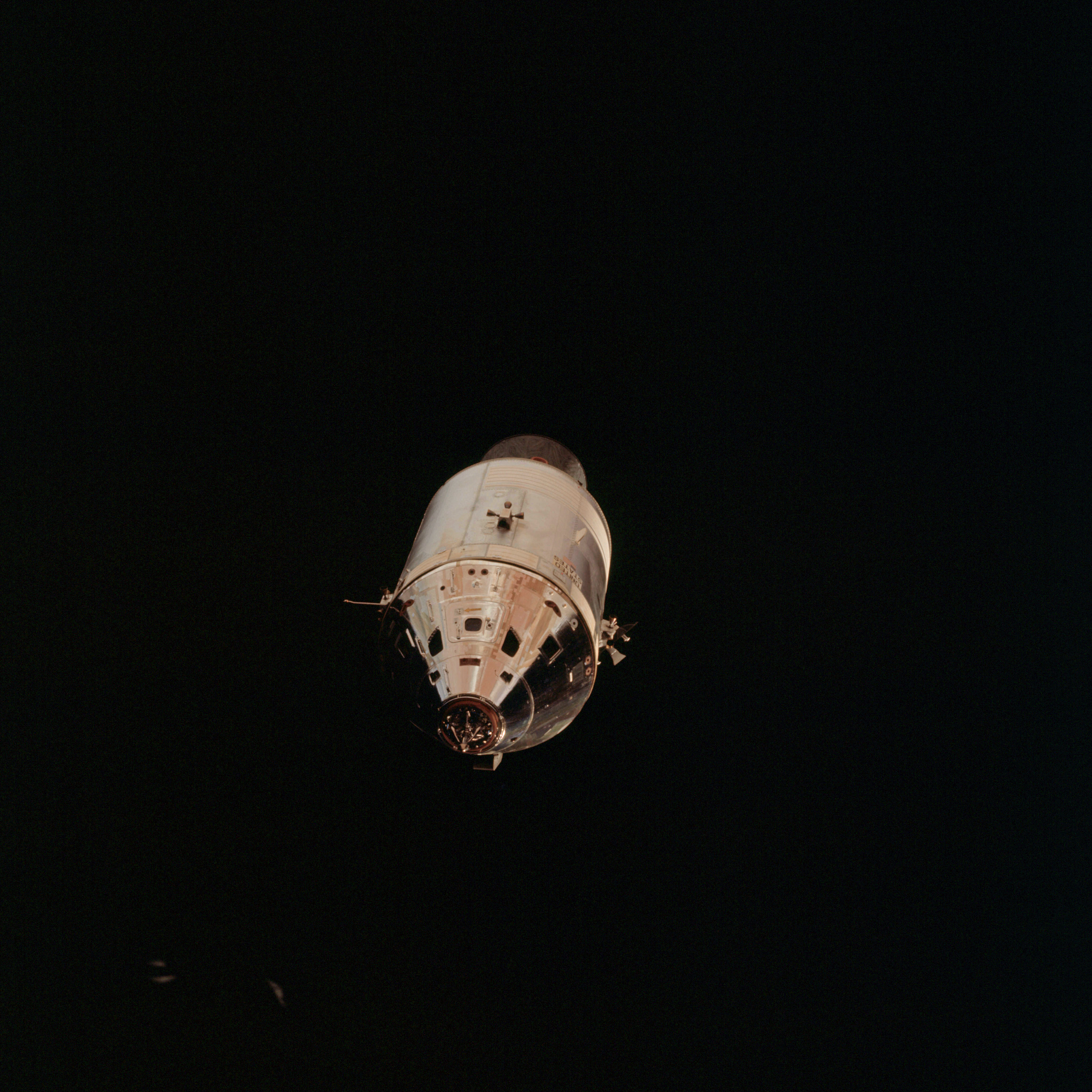 | AS09-24-3631 Command Module Image credit: Image Science and Analysis Laboratory, NASA-Johnson Space Center. |
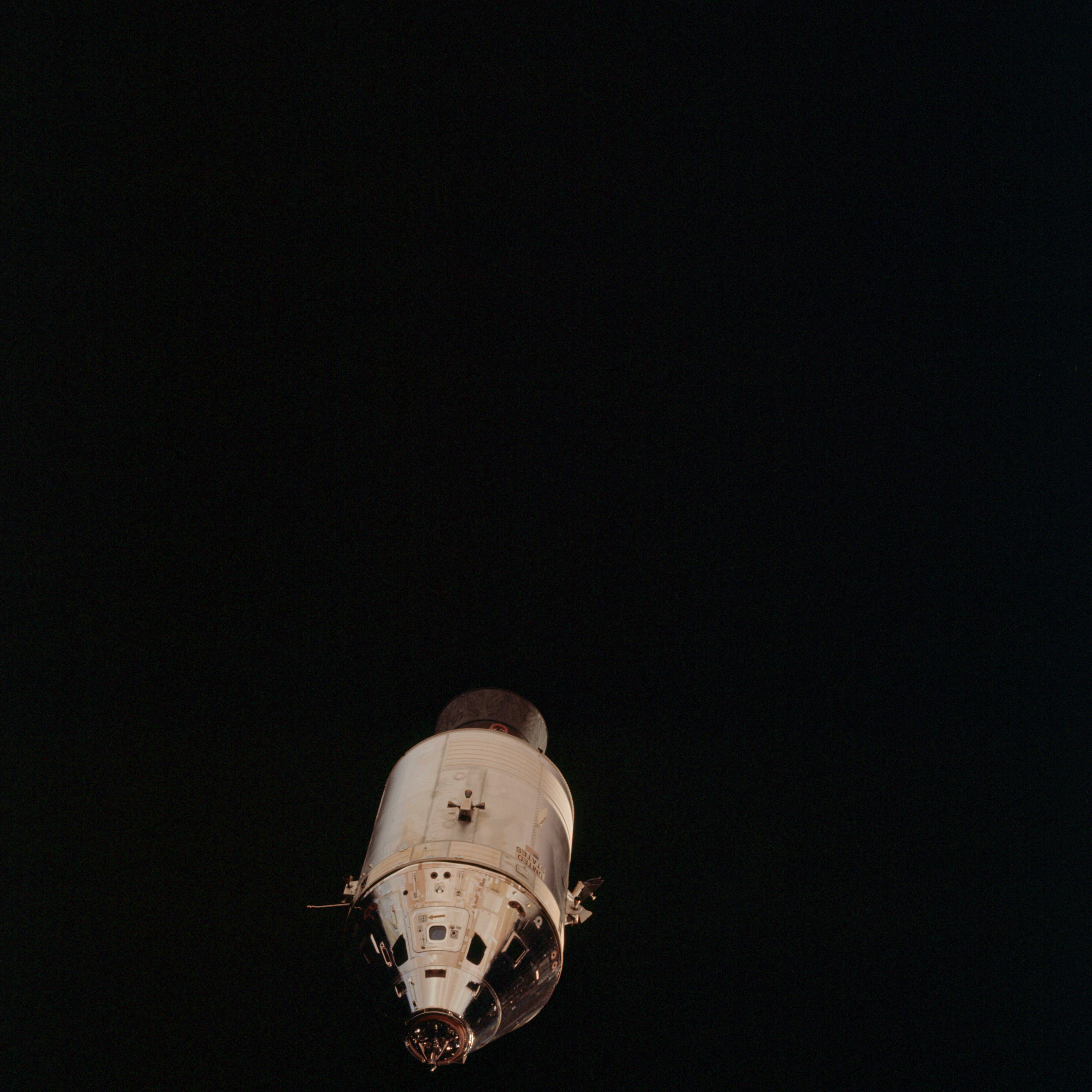 | AS09-24-3632 Command Module Image credit: Image Science and Analysis Laboratory, NASA-Johnson Space Center. |
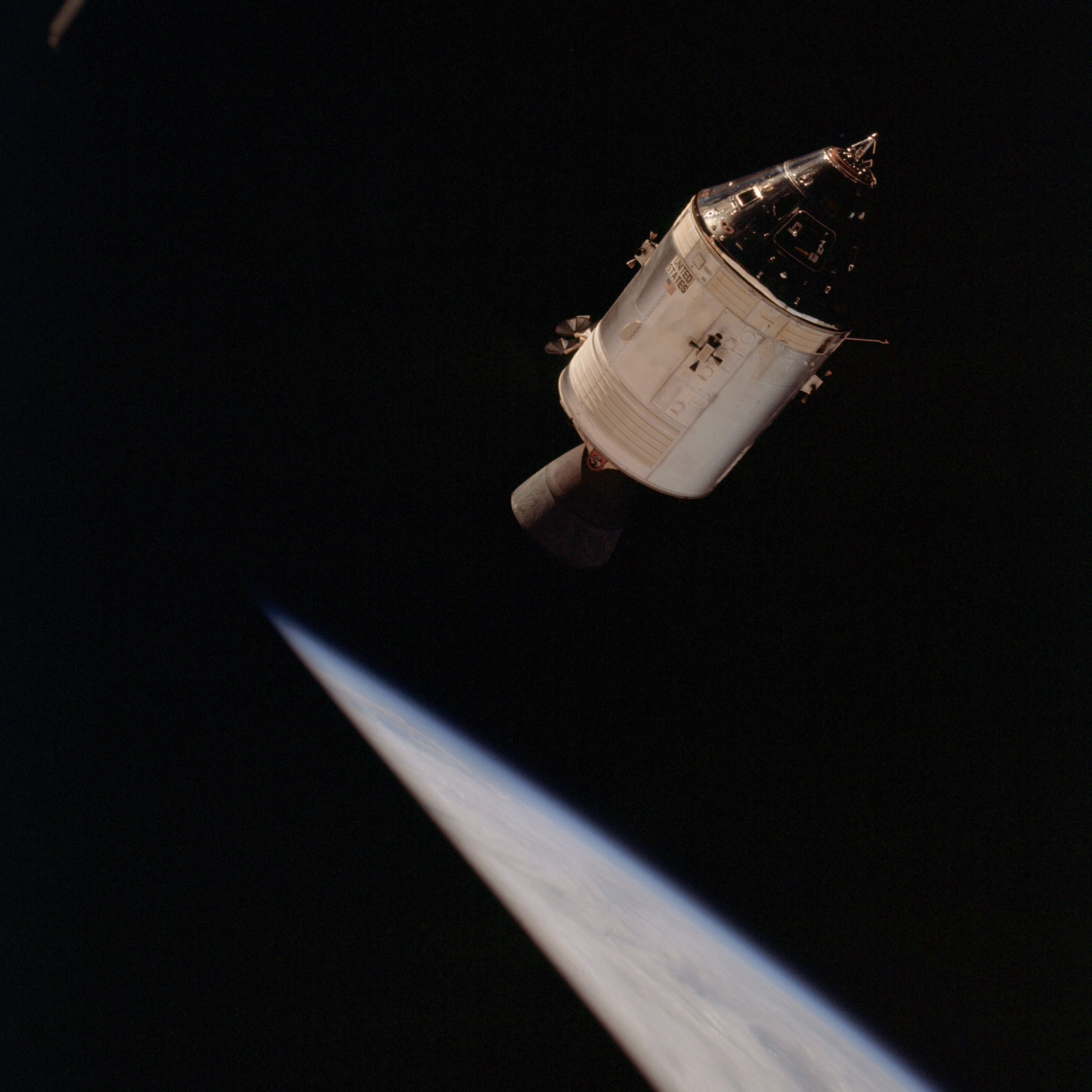 | AS09-24-3633 Command Module, horizon Image credit: Image Science and Analysis Laboratory, NASA-Johnson Space Center. |
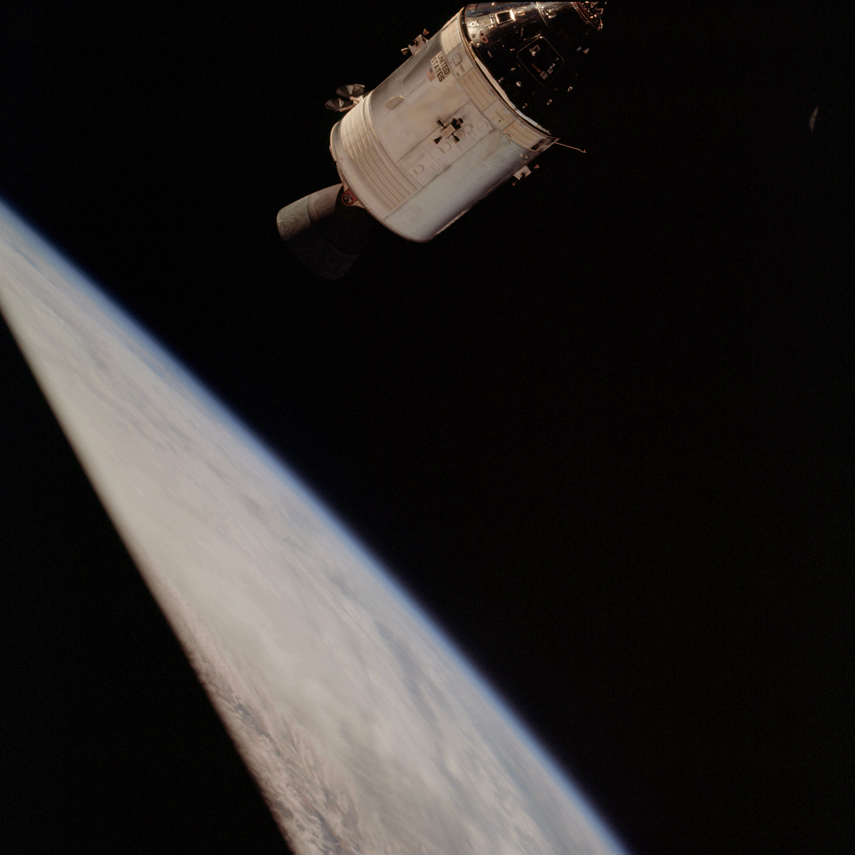 | AS09-24-3634 Command Module, horizon Image credit: Image Science and Analysis Laboratory, NASA-Johnson Space Center. |
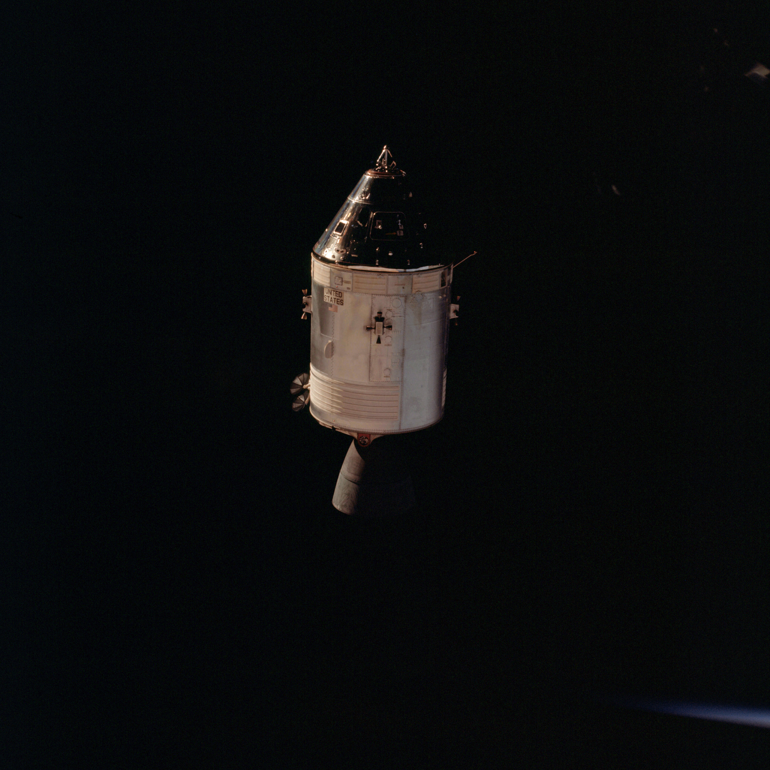 | AS09-24-3635 Command Module Image credit: Image Science and Analysis Laboratory, NASA-Johnson Space Center. |
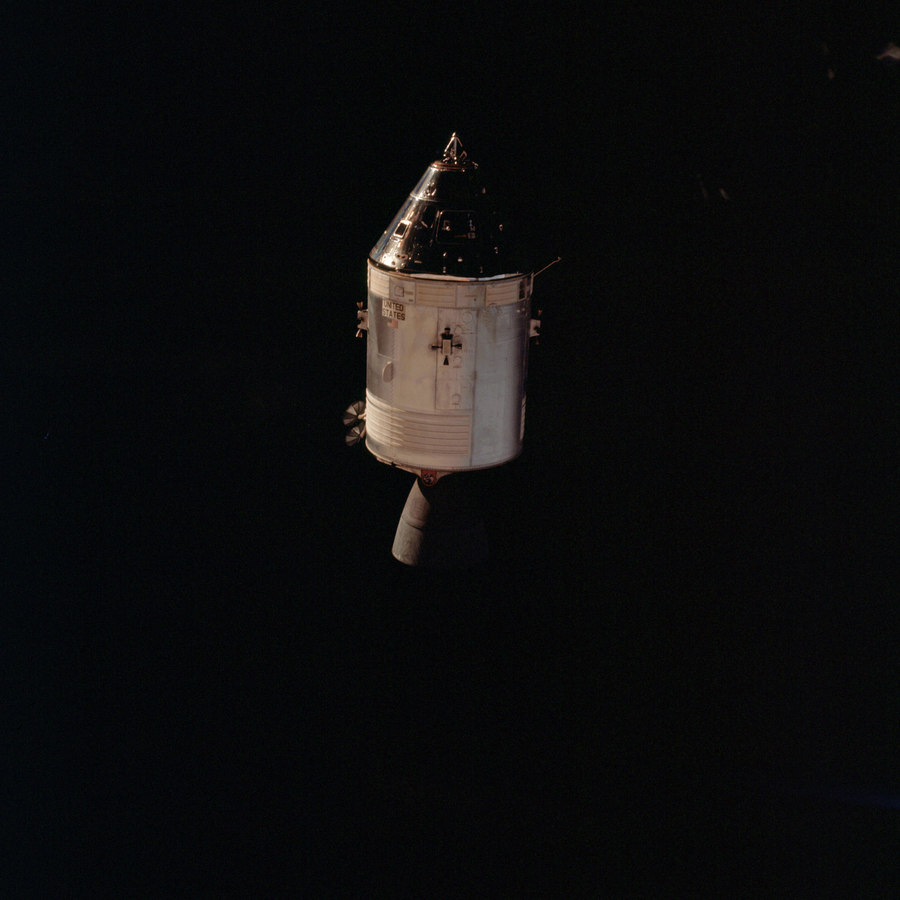 | AS09-24-3636 Command Module Image credit: Image Science and Analysis Laboratory, NASA-Johnson Space Center. |
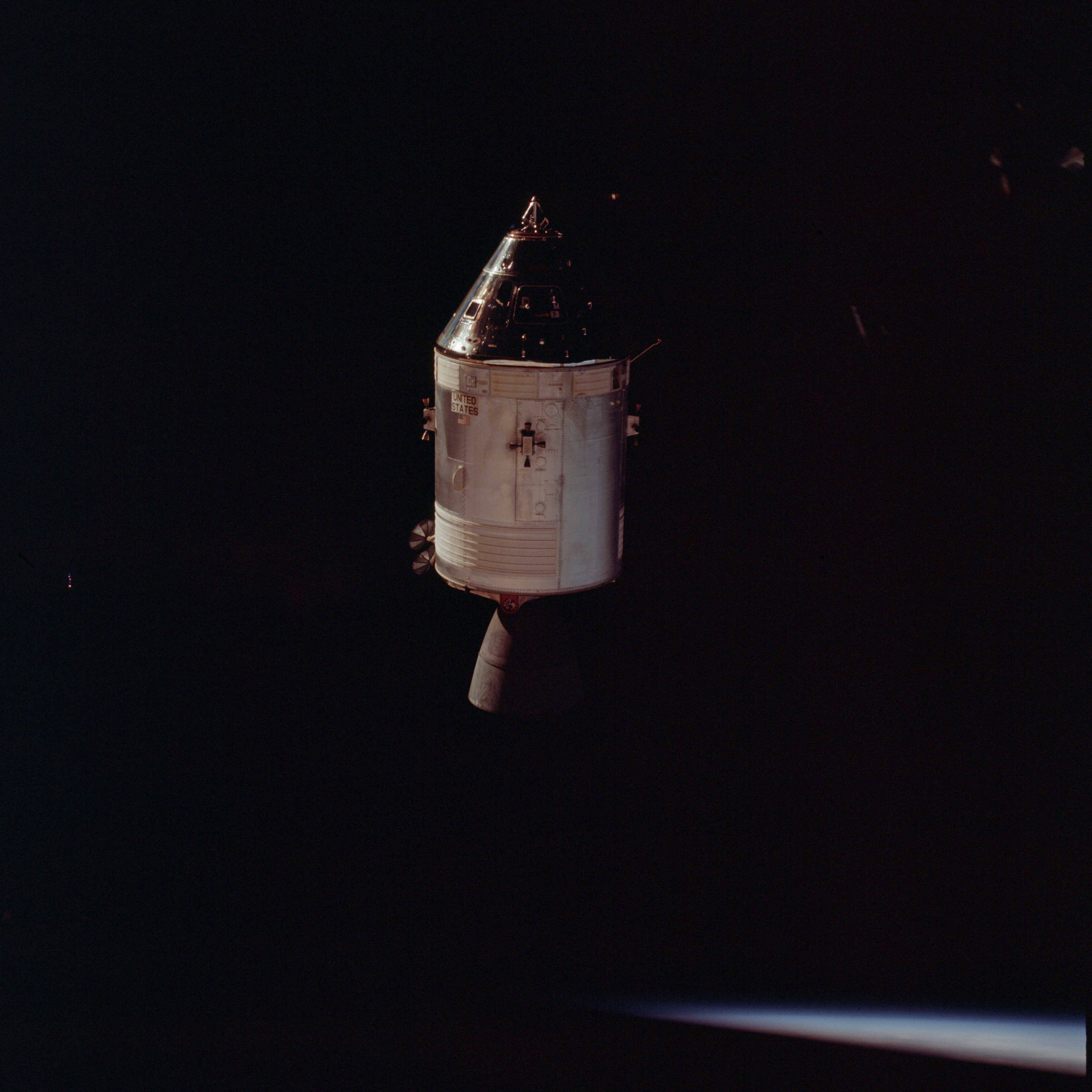 | AS09-24-3637 Command Module Image credit: Image Science and Analysis Laboratory, NASA-Johnson Space Center. |
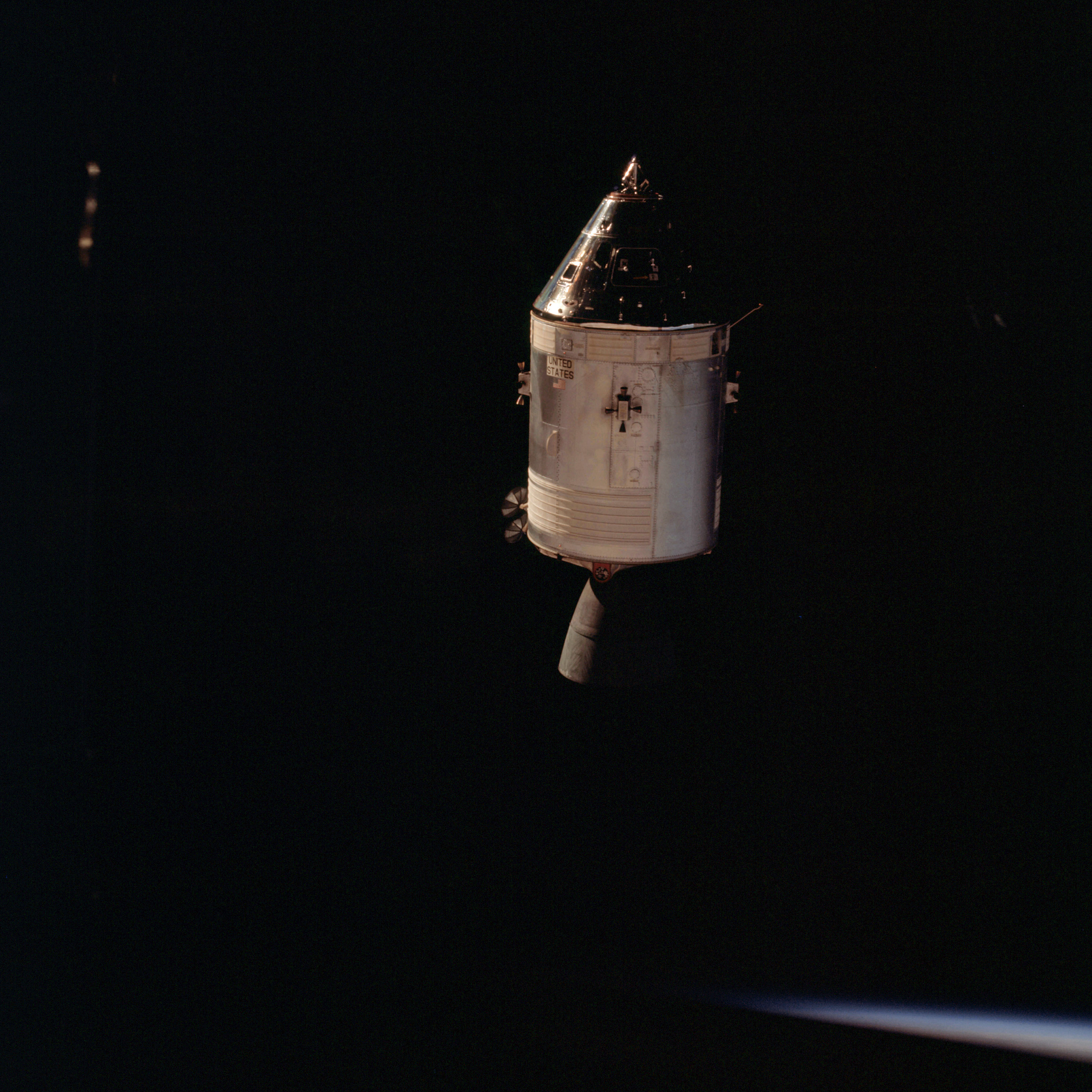 | AS09-24-3638 Command Module Image credit: Image Science and Analysis Laboratory, NASA-Johnson Space Center. |
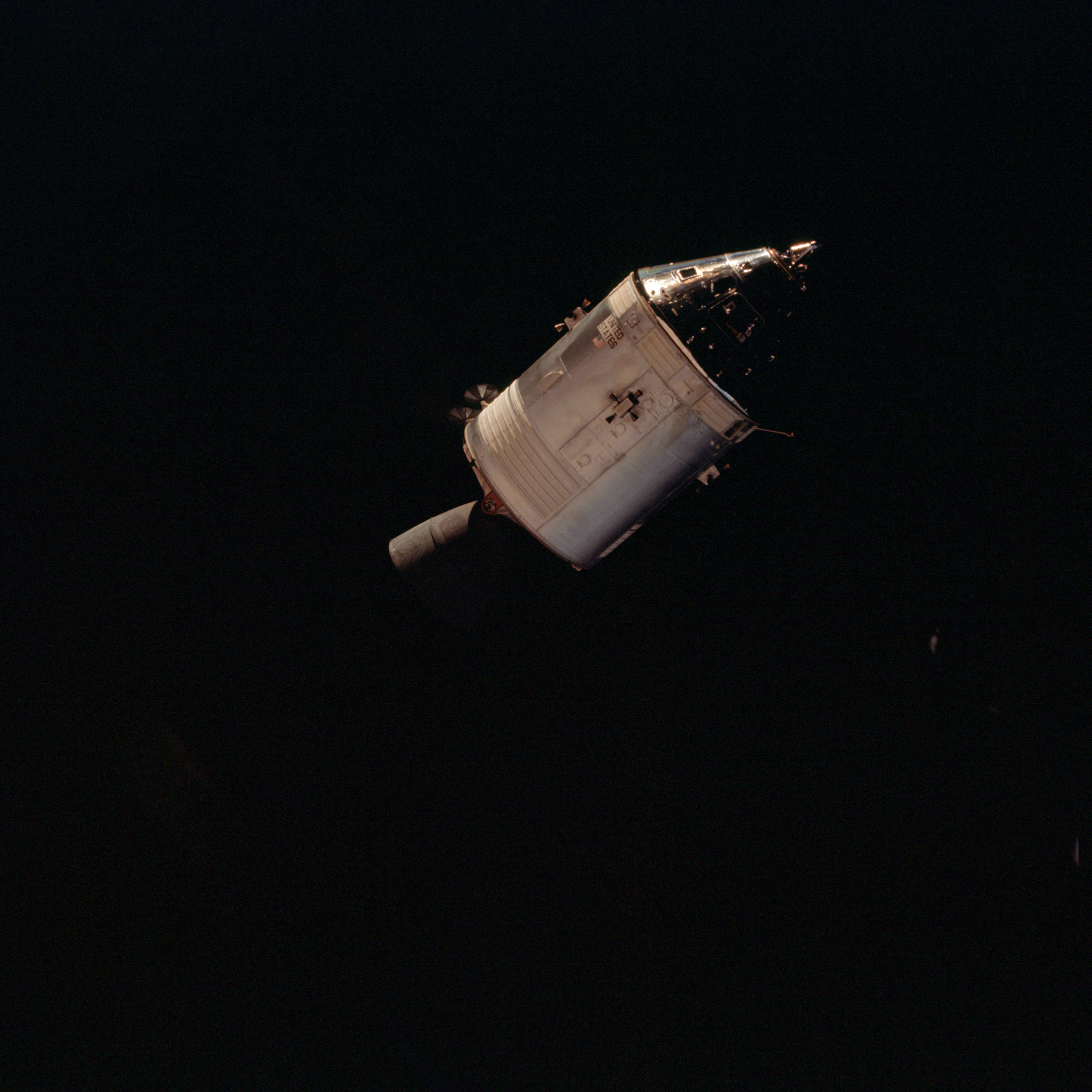 | AS09-24-3639 Command Module Image credit: Image Science and Analysis Laboratory, NASA-Johnson Space Center. |
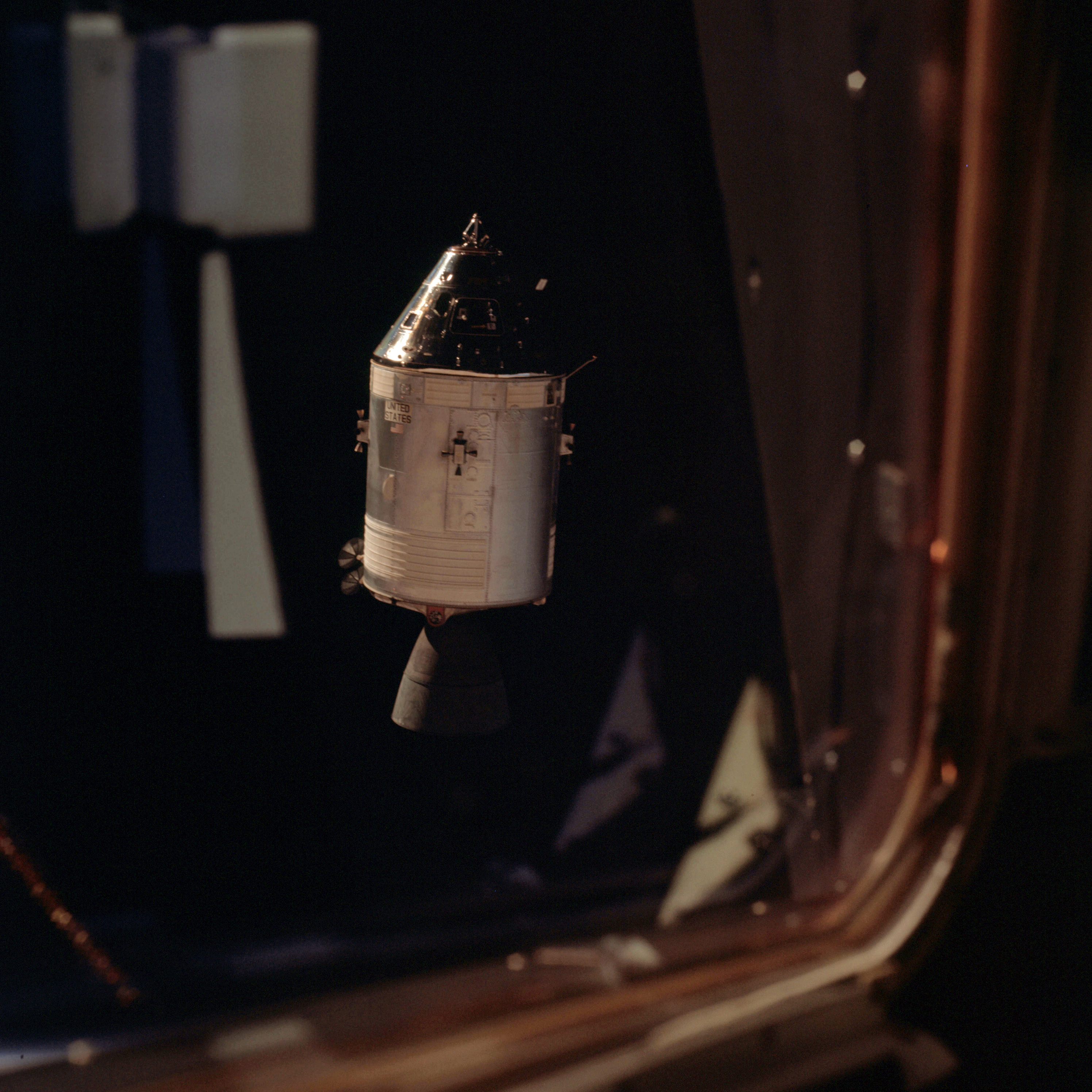 | AS09-24-3640 Command Module through window Image credit: Image Science and Analysis Laboratory, NASA-Johnson Space Center. |
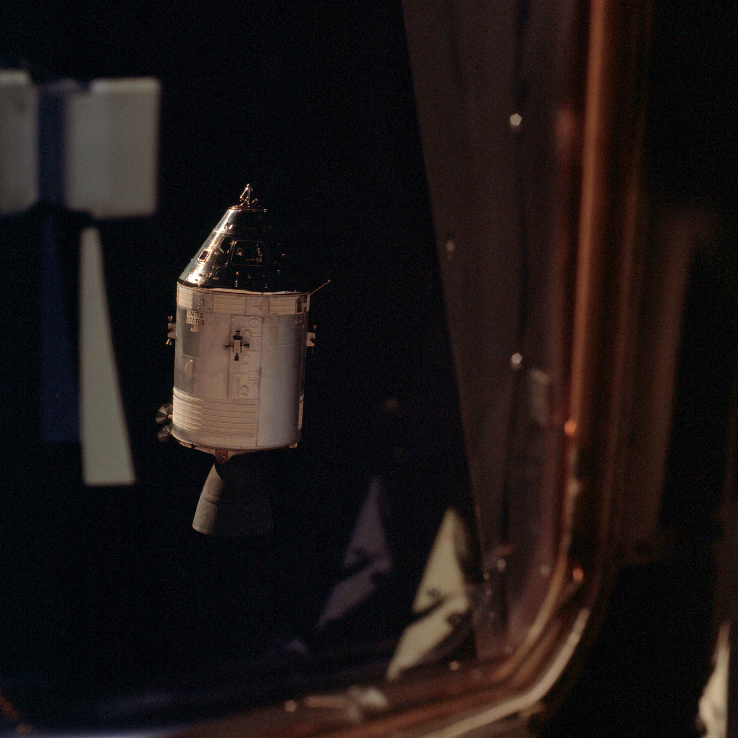 | AS09-24-3641 Command Module through window Image credit: Image Science and Analysis Laboratory, NASA-Johnson Space Center. |
 | AS09-24-3642 Command Module Image credit: Image Science and Analysis Laboratory, NASA-Johnson Space Center. |
 | AS09-24-3643 Command Module Image credit: Image Science and Analysis Laboratory, NASA-Johnson Space Center. |
 | AS09-24-3644 Command Module Image credit: Image Science and Analysis Laboratory, NASA-Johnson Space Center. |
 | AS09-24-3645 Command Module Image credit: Image Science and Analysis Laboratory, NASA-Johnson Space Center. |
 | AS09-24-3646 Command Module Image credit: Image Science and Analysis Laboratory, NASA-Johnson Space Center. |
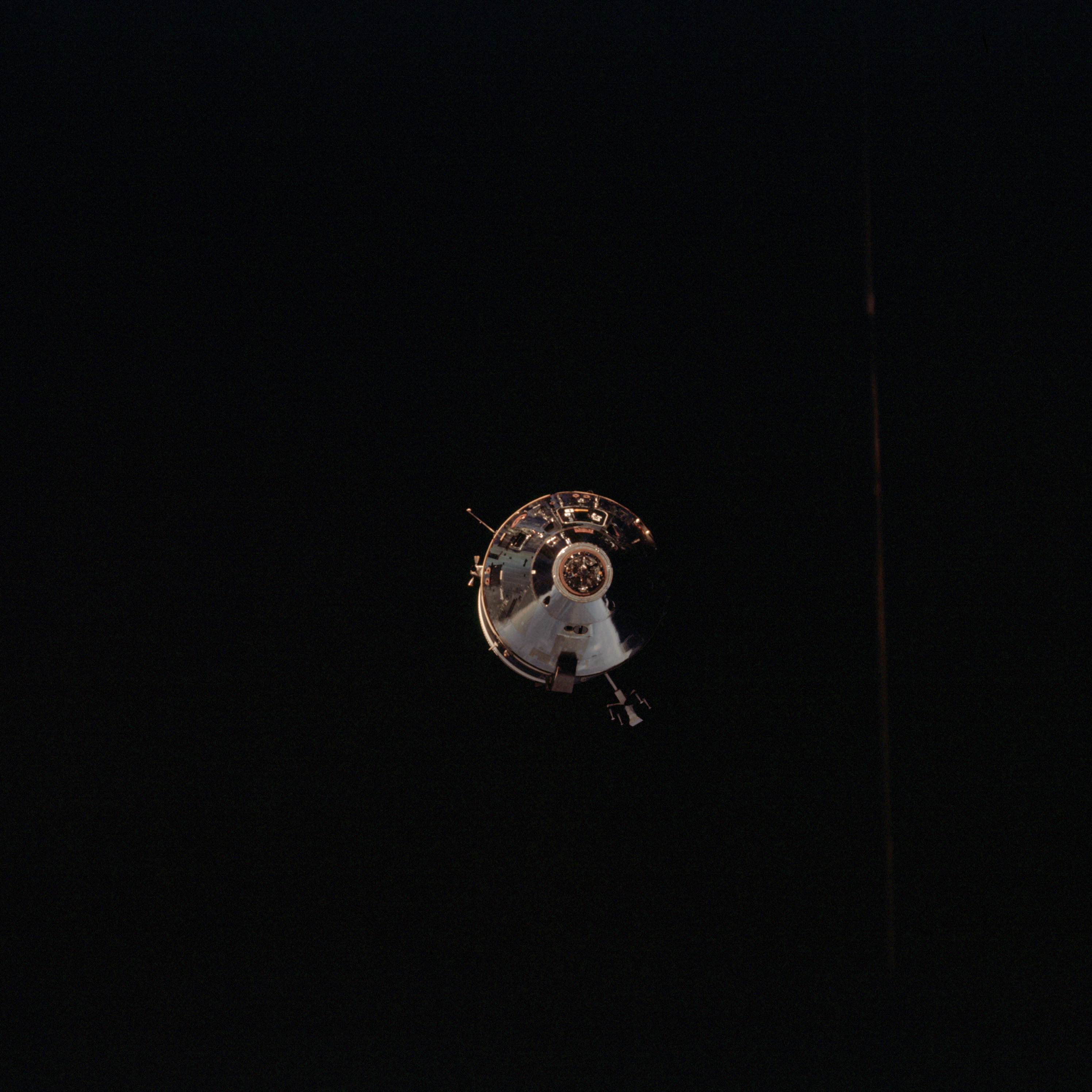 | AS09-24-3647 Command Module Image credit: Image Science and Analysis Laboratory, NASA-Johnson Space Center. |
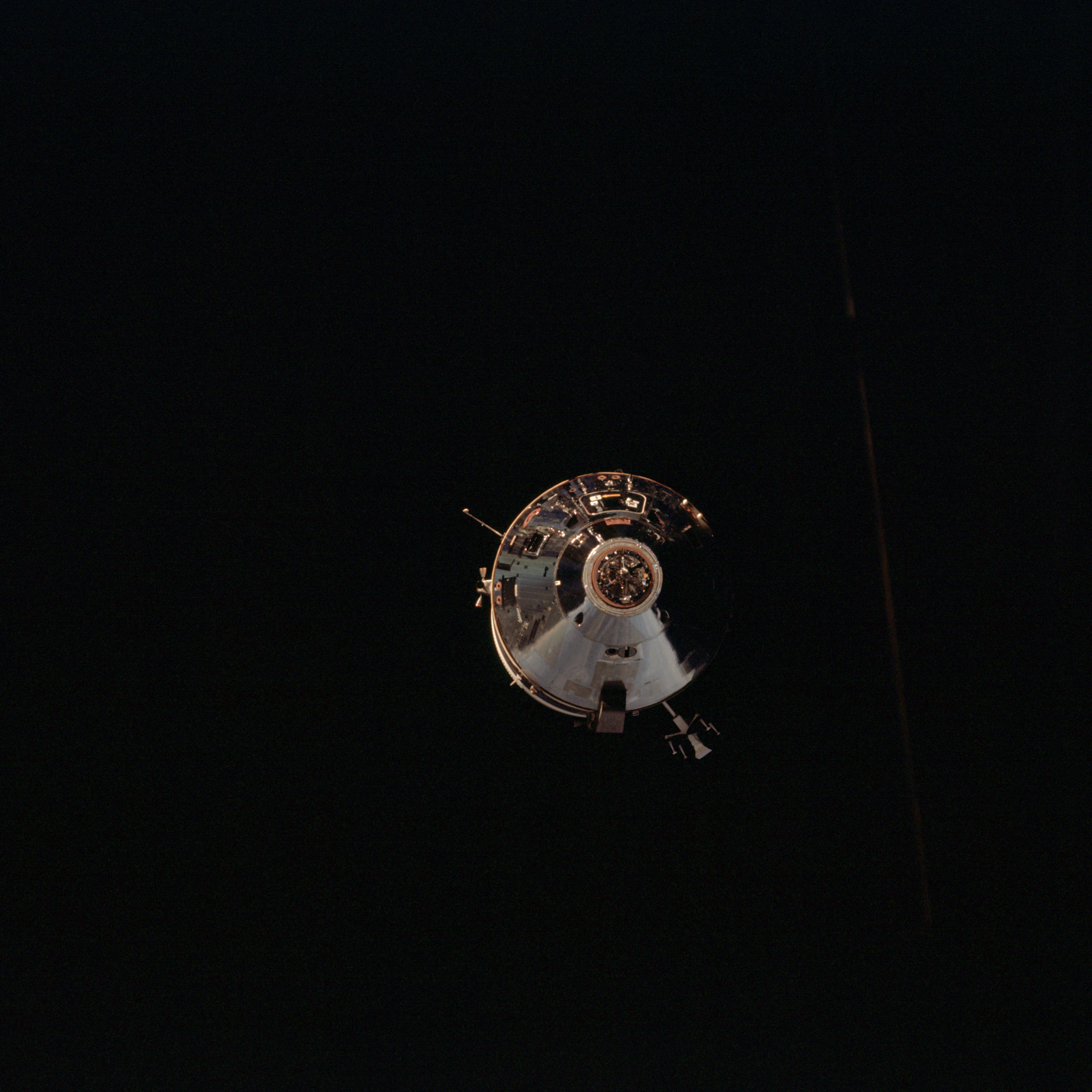 | AS09-24-3648 Command Module Image credit: Image Science and Analysis Laboratory, NASA-Johnson Space Center. |
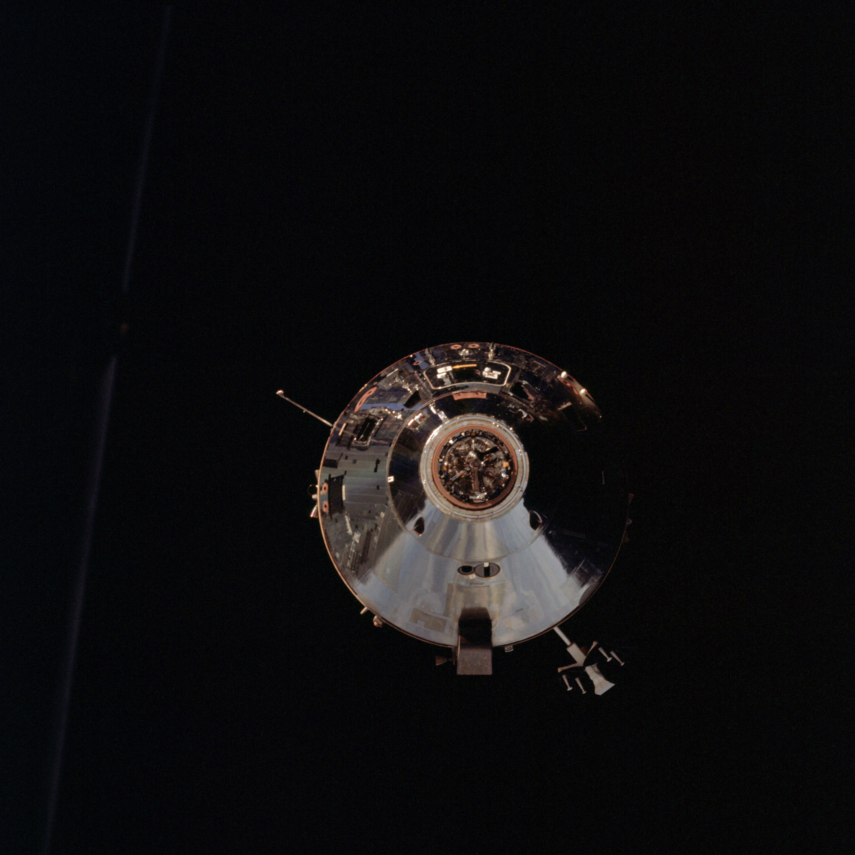 | AS09-24-3649 Command Module Image credit: Image Science and Analysis Laboratory, NASA-Johnson Space Center. |
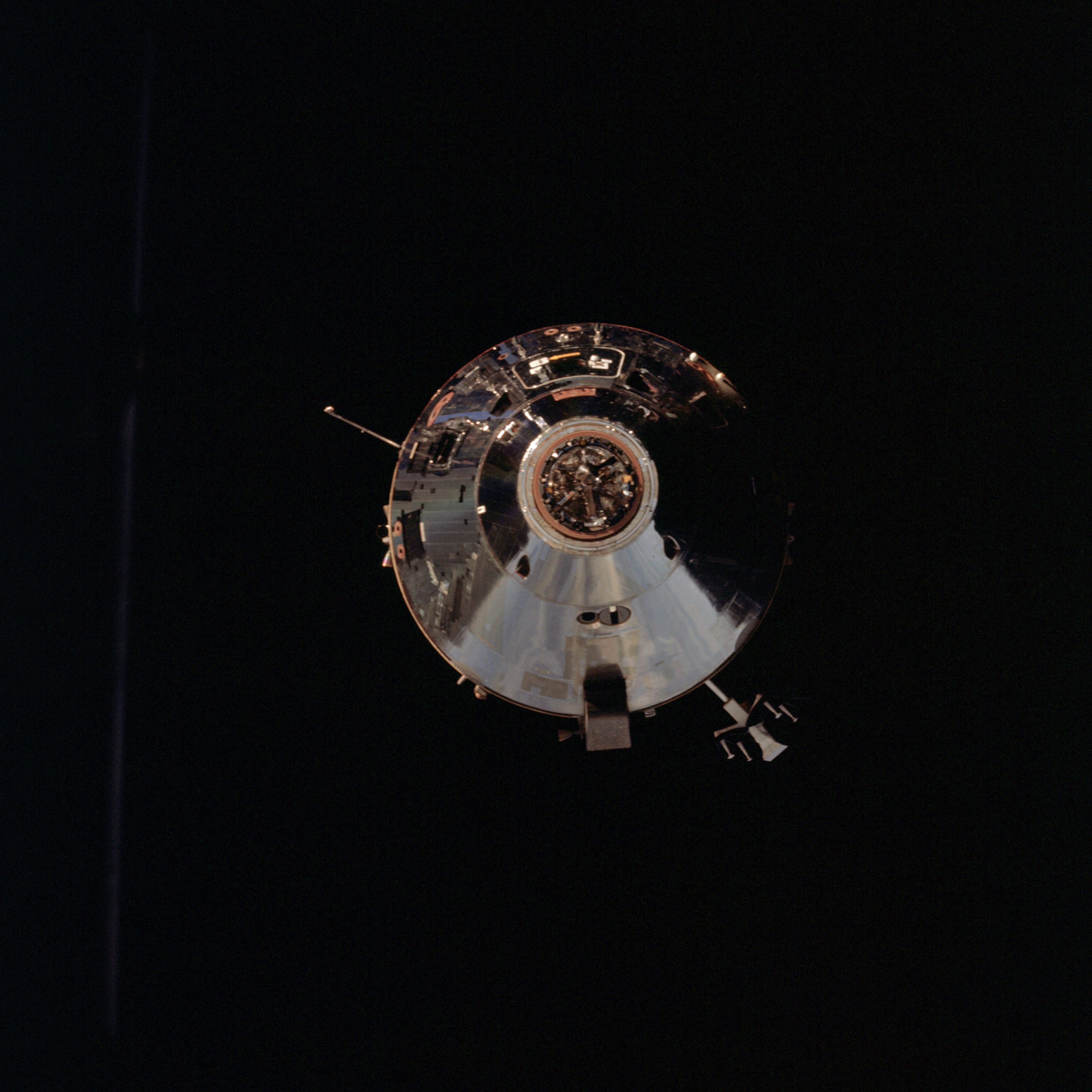 | AS09-24-3650 Command Module Image credit: Image Science and Analysis Laboratory, NASA-Johnson Space Center. |
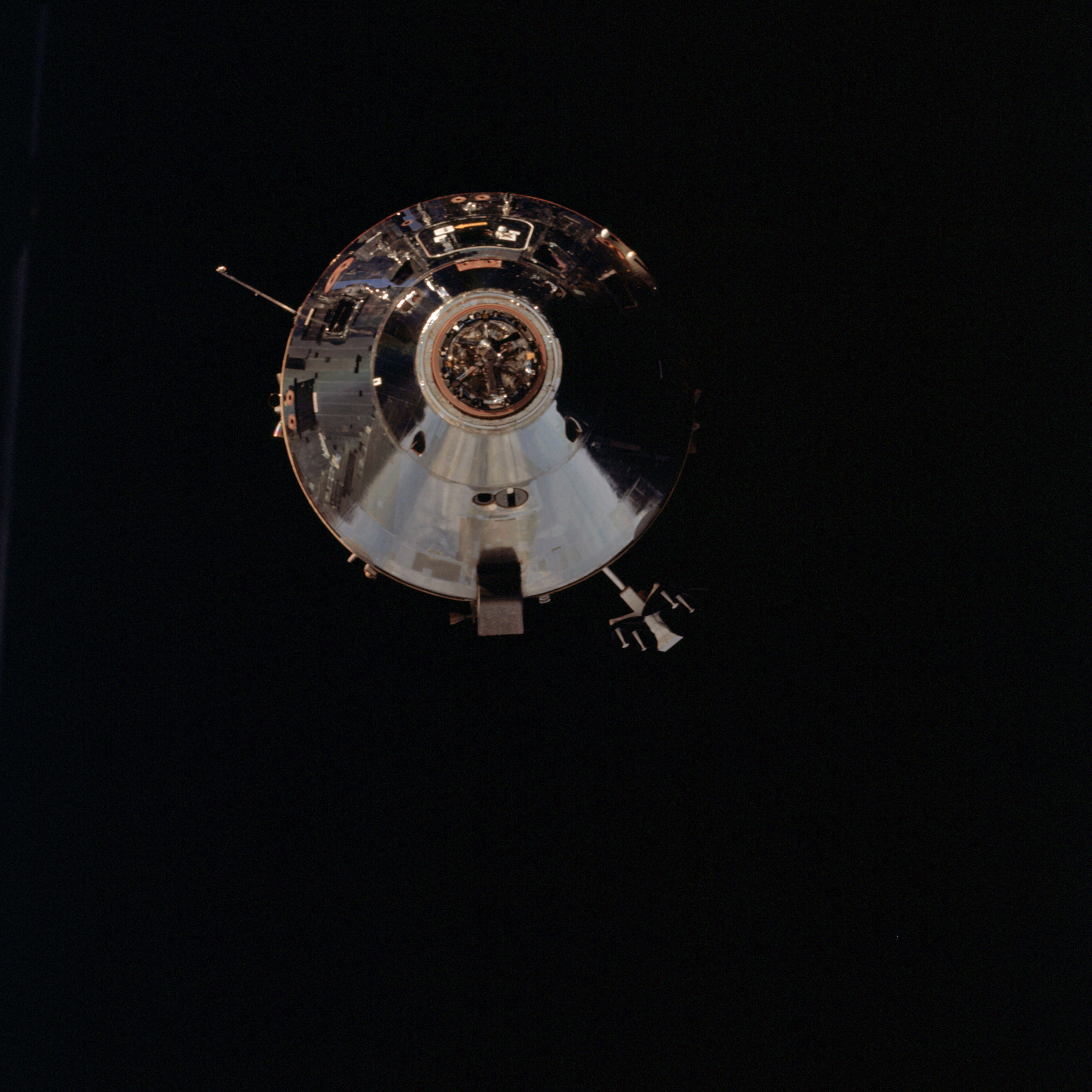 | AS09-24-3651 Command Module Image credit: Image Science and Analysis Laboratory, NASA-Johnson Space Center. |
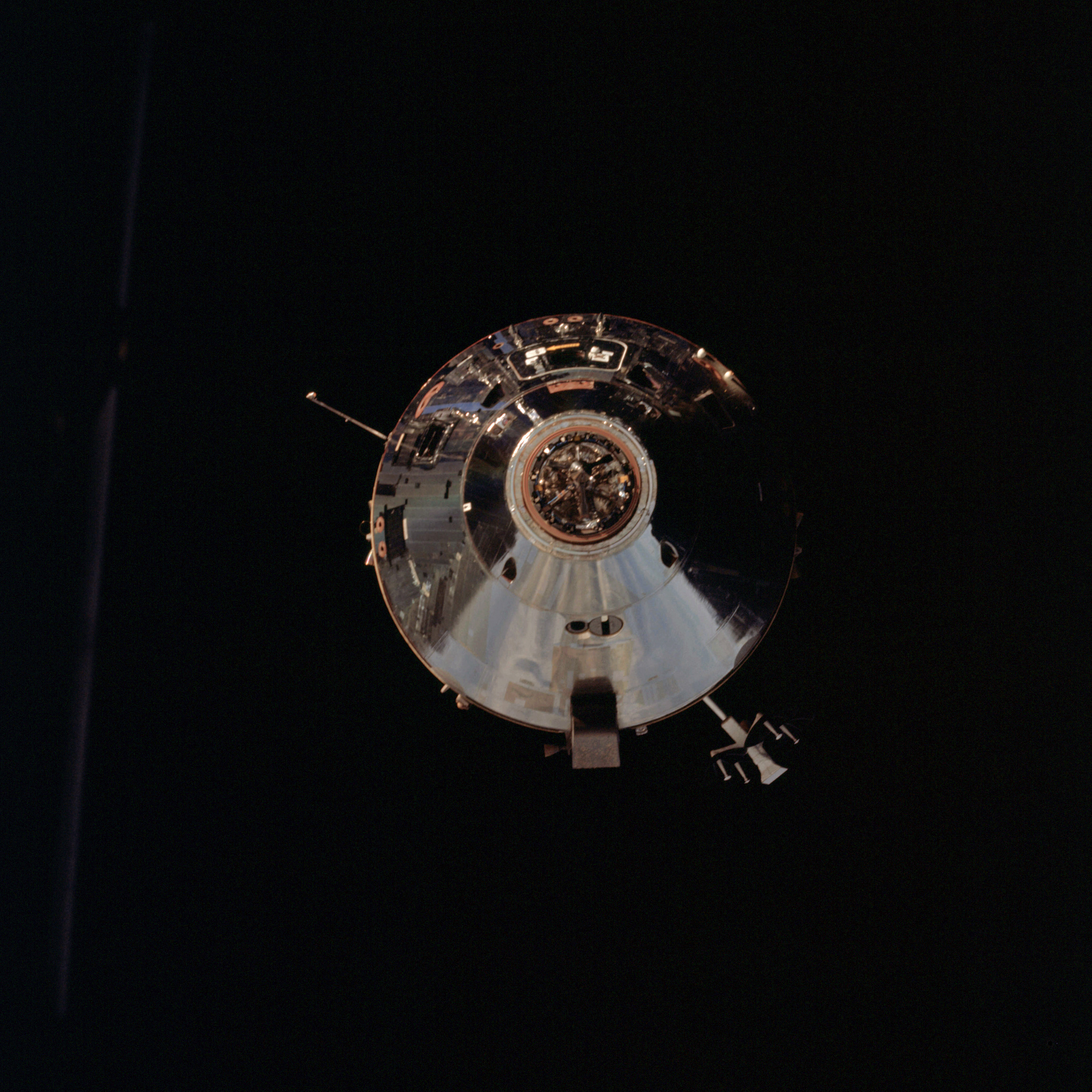 | AS09-24-3652 Command Module Image credit: Image Science and Analysis Laboratory, NASA-Johnson Space Center. |
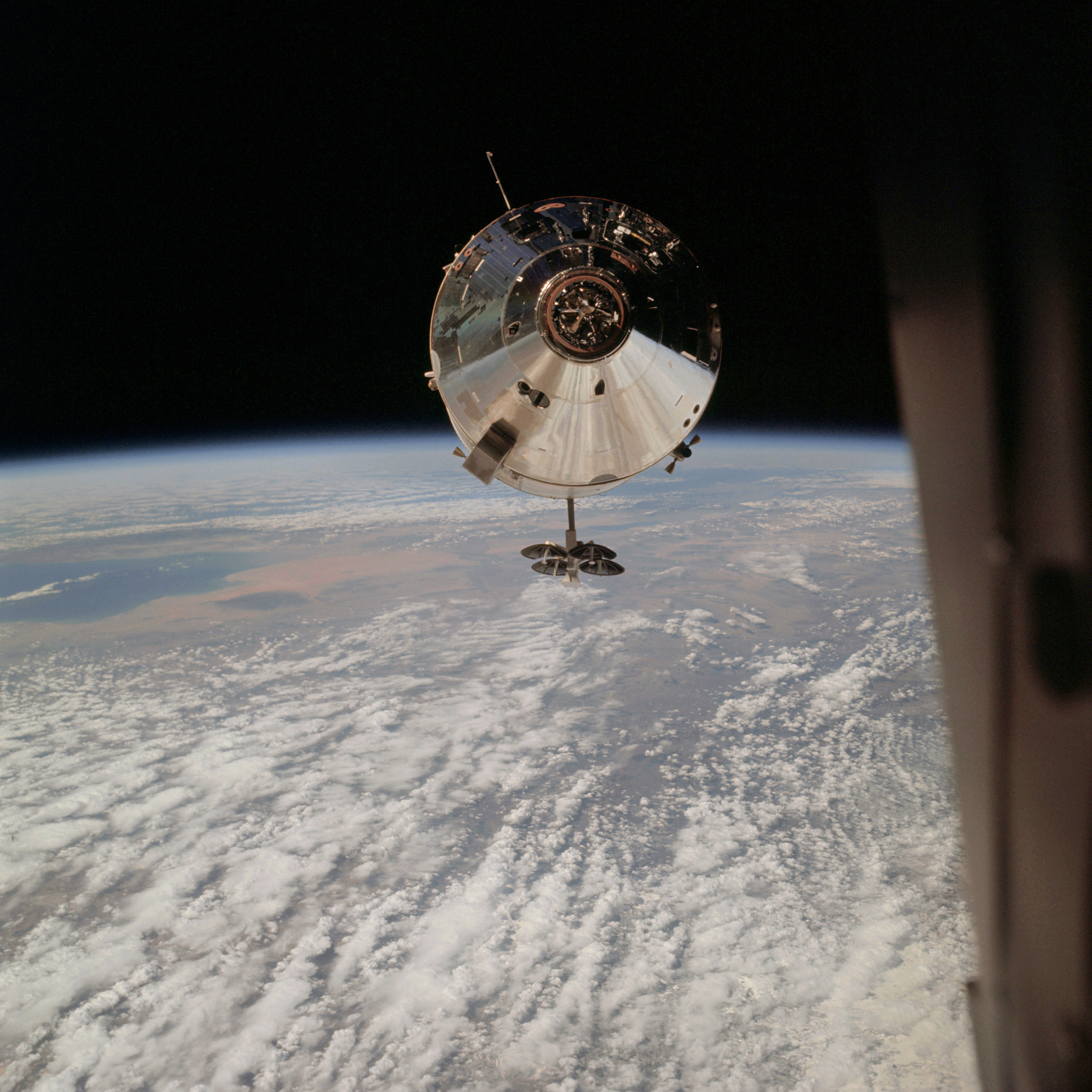 | AS09-24-3653 GEOGRAPHY/CARTOGRAPHY: Command Module, high oblique over New Mexico, Gulf of California, Colorado River Delta, Grand Desert, Yuma, Chocolate Mountains, Coconino Plateau. METEOROLOGY: Alto-cumulus undulatus. Image credit: Image Science and Analysis Laboratory, NASA-Johnson Space Center. |
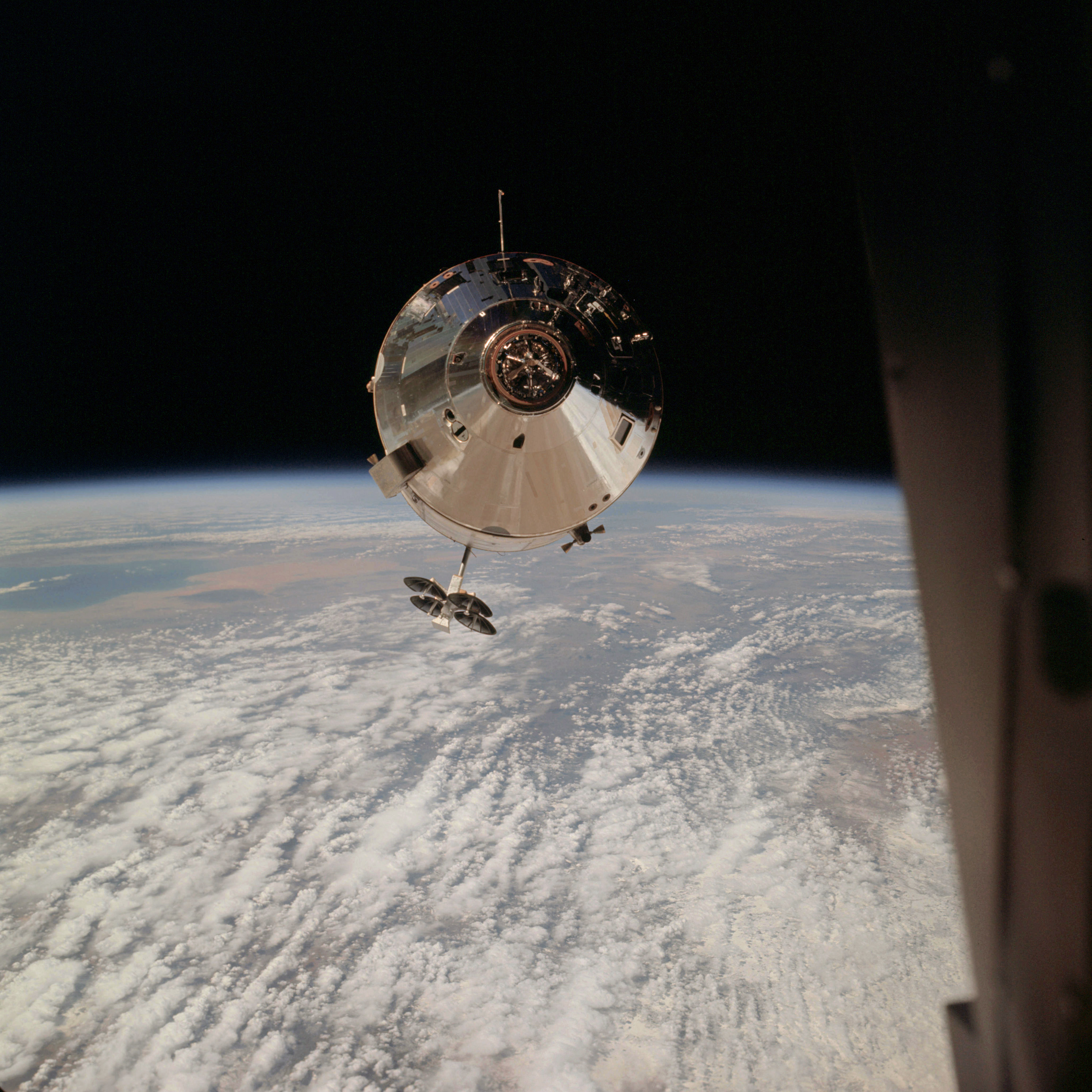 | AS09-24-3654 GEOGRAPHY/CARTOGRAPHY: Command Module, high oblique showing Gulf of California, Colorado River Delta, Grand Desert, Yuma, and the Coconino Plateau, (Orbit 63). METEOROLOGY: Alto-cumulus undulatus. Image credit: Image Science and Analysis Laboratory, NASA-Johnson Space Center. |
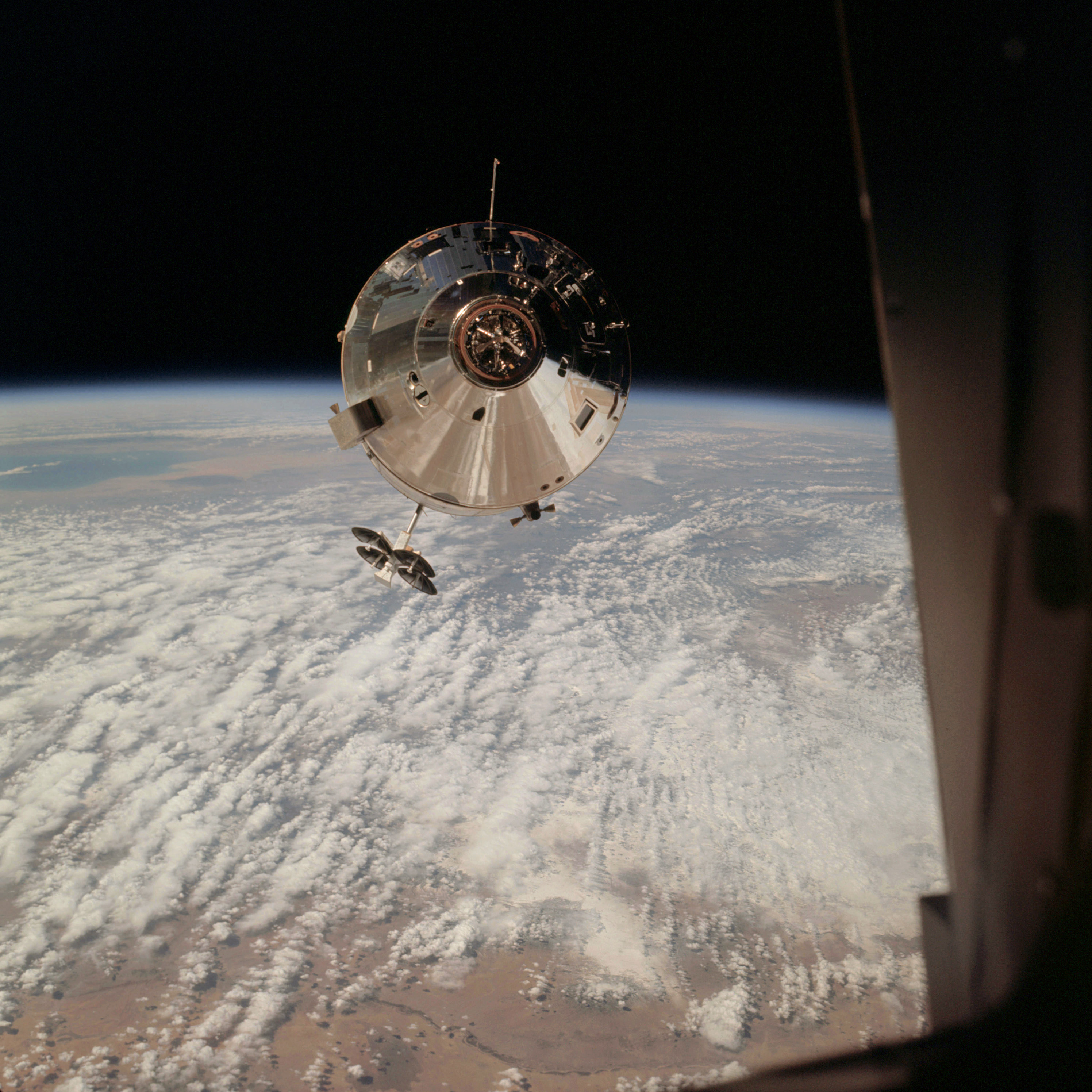 | AS09-24-3655 GEOGRAPHY/CARTOGRAPHY: Command Module, high oblique showing Rio Grande, Gulf of California and Grand Desert, Coconino Plateau, (Orbit 63). METEOROLOGY: Alto-cumulus undulatus. Image credit: Image Science and Analysis Laboratory, NASA-Johnson Space Center. |
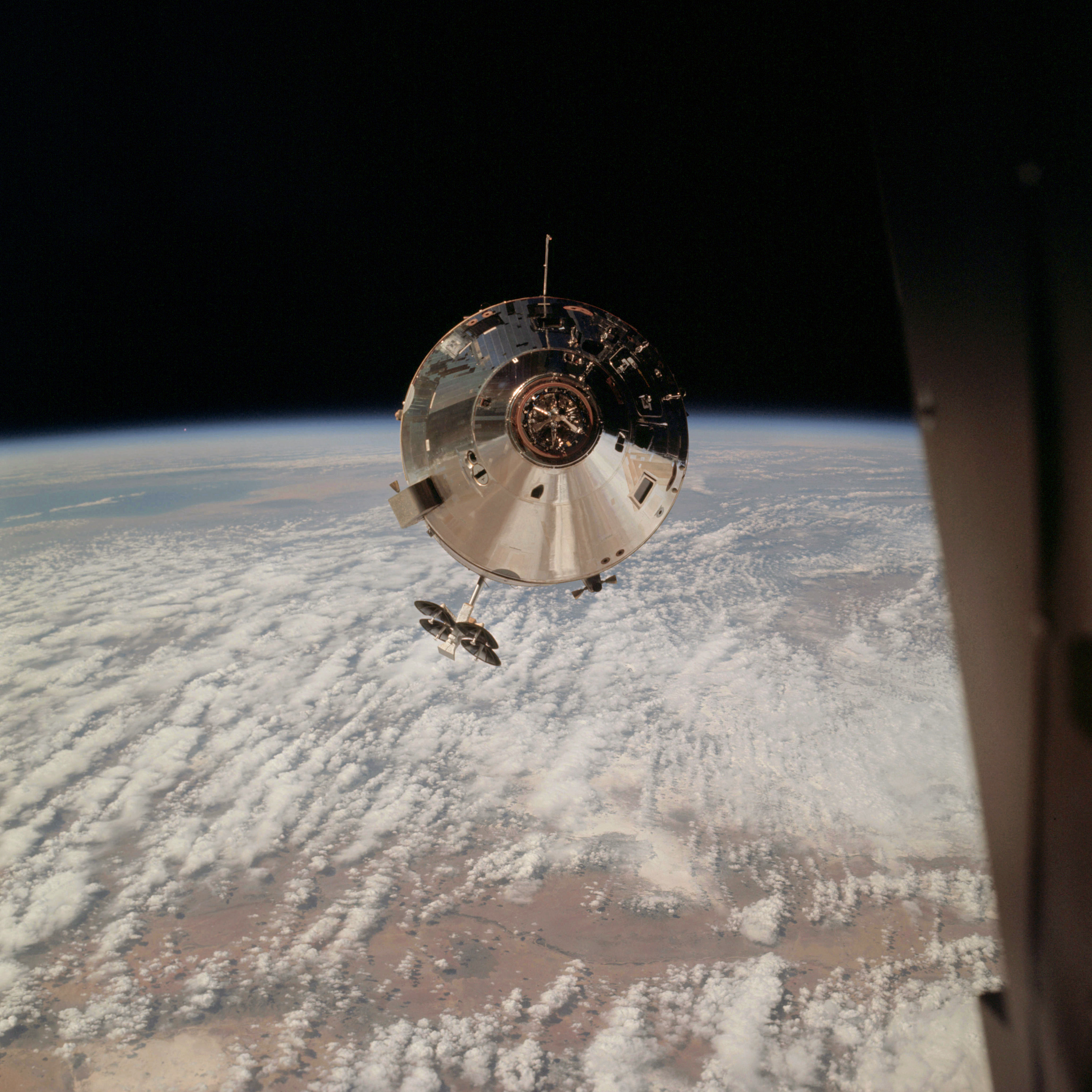 | AS09-24-3656 GEOGRAPHY/CARTOGRAPHY: Command Module, high oblique showing Rio Grande, White Sands, San Andres Mountains, Tularosa Valley into Arizona and Southern California, Gulf of California is visible, (Orbit 63). METEOROLOGY: Alto-cumulus undulatus. Image credit: Image Science and Analysis Laboratory, NASA-Johnson Space Center. |
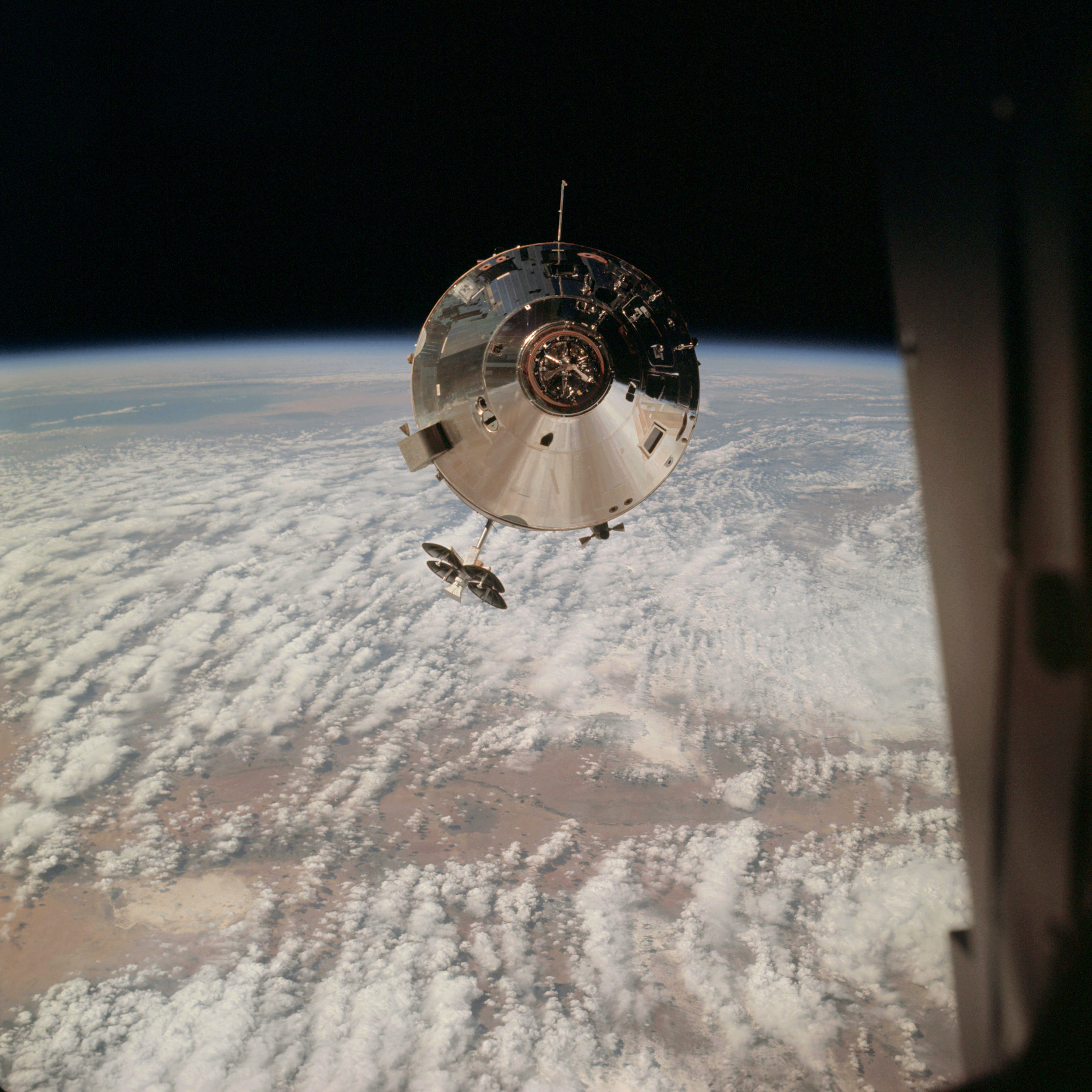 | AS09-24-3657 GEOGRAPHY/CARTOGRAPHY: Command Module, high oblique showing Rio Grande, White Sands, Capitan Mountains, San Andreas Mountains into Arizona and Southern California, Gulf of California is visible, (Orbit 63). METEOROLOGY: Alto-cumulus undulatus. Image credit: Image Science and Analysis Laboratory, NASA-Johnson Space Center. |
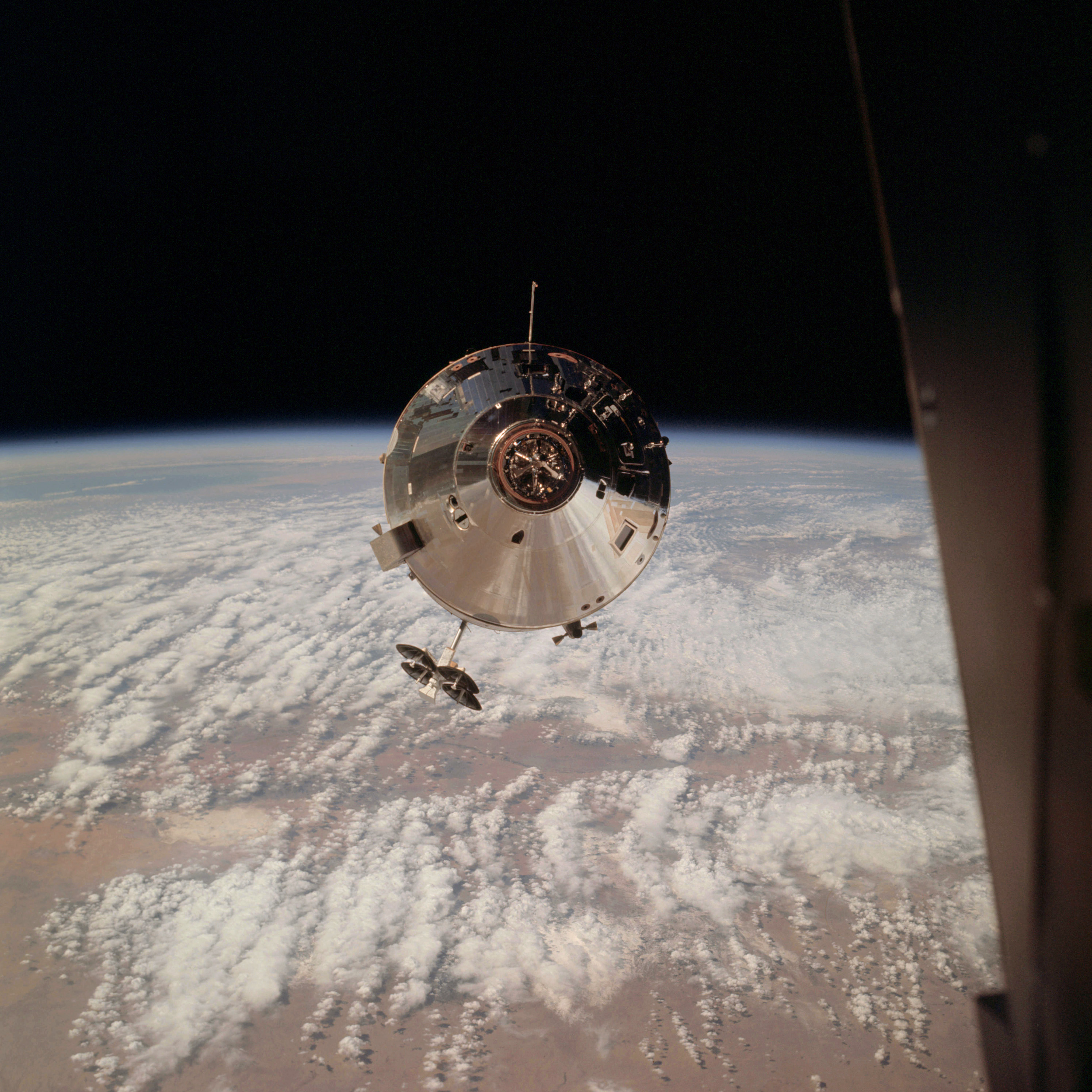 | AS09-24-3658 GEOGRAPHY/CARTOGRAPHY: Command Module, high oblique showing Pecos Valley, Rio Grande, White Sands, Tularosa Valley into Arizona, Gulf of California and Coconino Plateau are visible, (Orbit 63). METEOROLOGY: Alto-cumulus undulatus Image credit: Image Science and Analysis Laboratory, NASA-Johnson Space Center. |
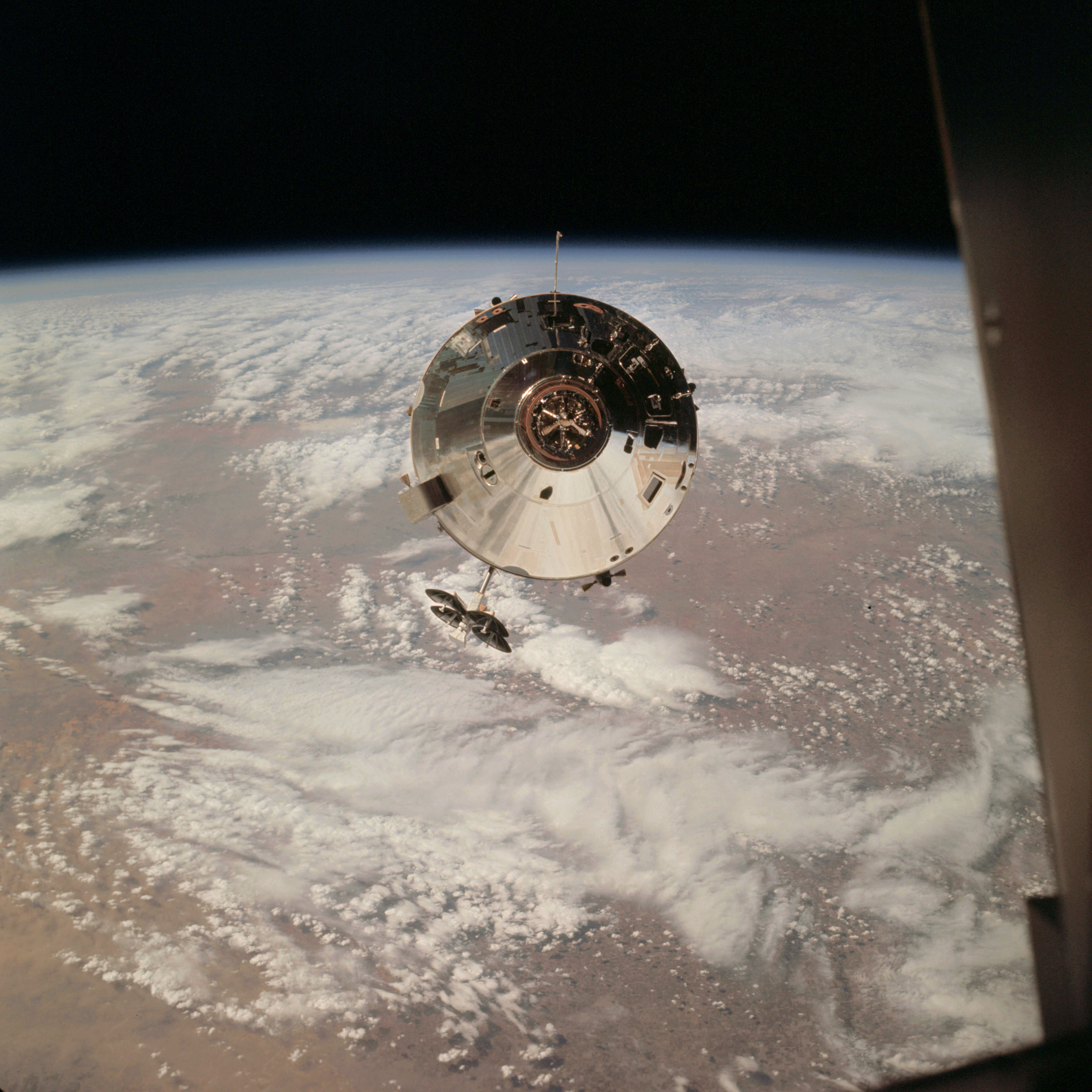 | AS09-24-3659 GEOGRAPHY/CARTOGRAPHY: Command Module, high oblique showing the Estacado Plains of Texas and New Mexico, Pecos Valley, Mescalaro Escarpment and White Sands, Lubbock is visible, (Orbit 63). METEOROLOGY: Alto-cumulus undulatus, cirro-cumulus, alto-stratus. Image credit: Image Science and Analysis Laboratory, NASA-Johnson Space Center. |
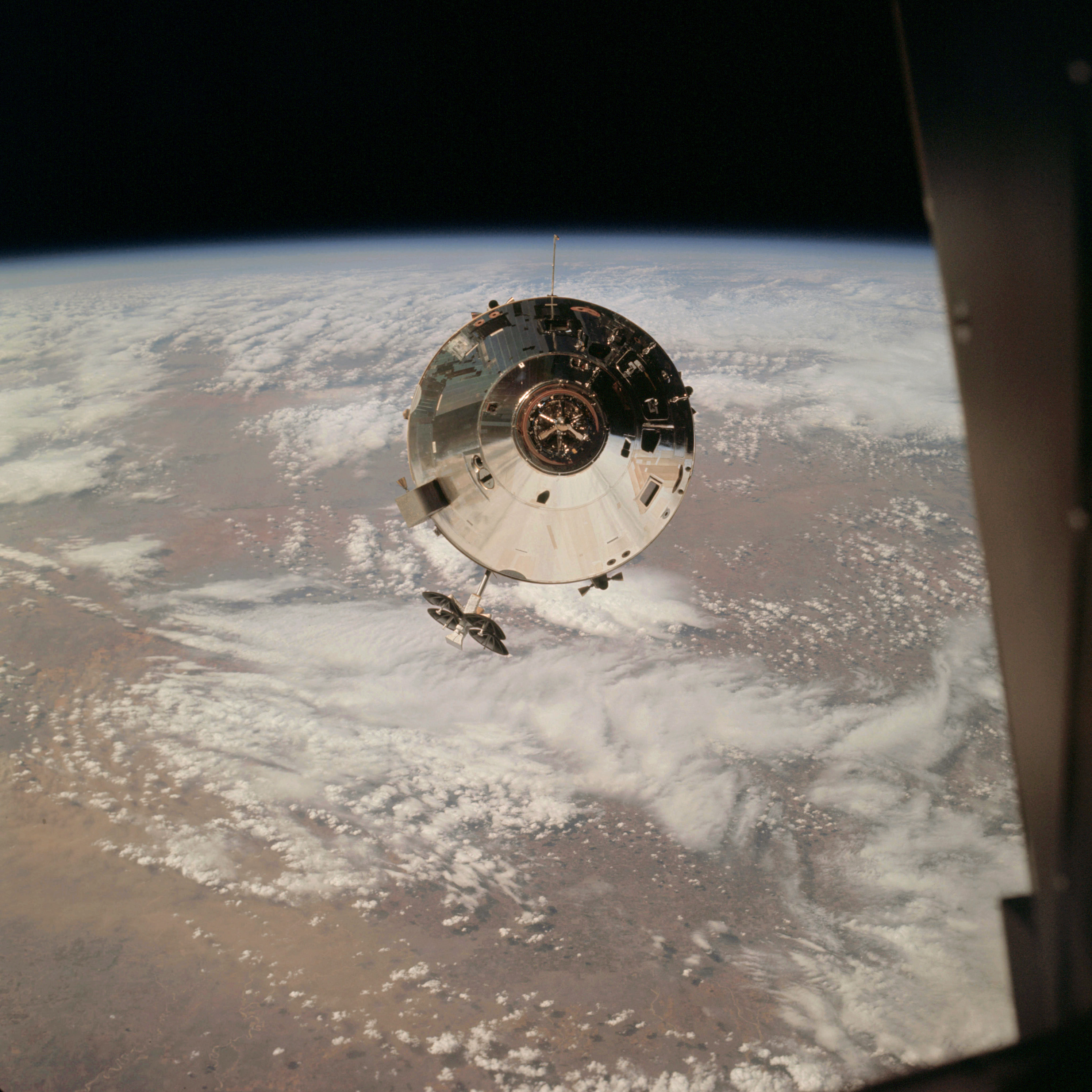 | AS09-24-3660 GEOGRAPHY/CARTOGRAPHY: Command Module, high oblique showing Estacado Plains of Texas and New Mexico, Lubbock, Caprock Escarpment, and the Pecos Valley, (Orbit 63). METEOROLOGY: Cirro-cumulus, alto-cumulus, cirrus, alto-cumulus undulatus over southwestern United States. Image credit: Image Science and Analysis Laboratory, NASA-Johnson Space Center. |
 | AS09-24-3661 Small portion of horizon Image credit: Image Science and Analysis Laboratory, NASA-Johnson Space Center. |
 | AS09-24-3662 Small portion of horizon Image credit: Image Science and Analysis Laboratory, NASA-Johnson Space Center. |
 | AS09-24-3663 Small portion of horizon Image credit: Image Science and Analysis Laboratory, NASA-Johnson Space Center. |
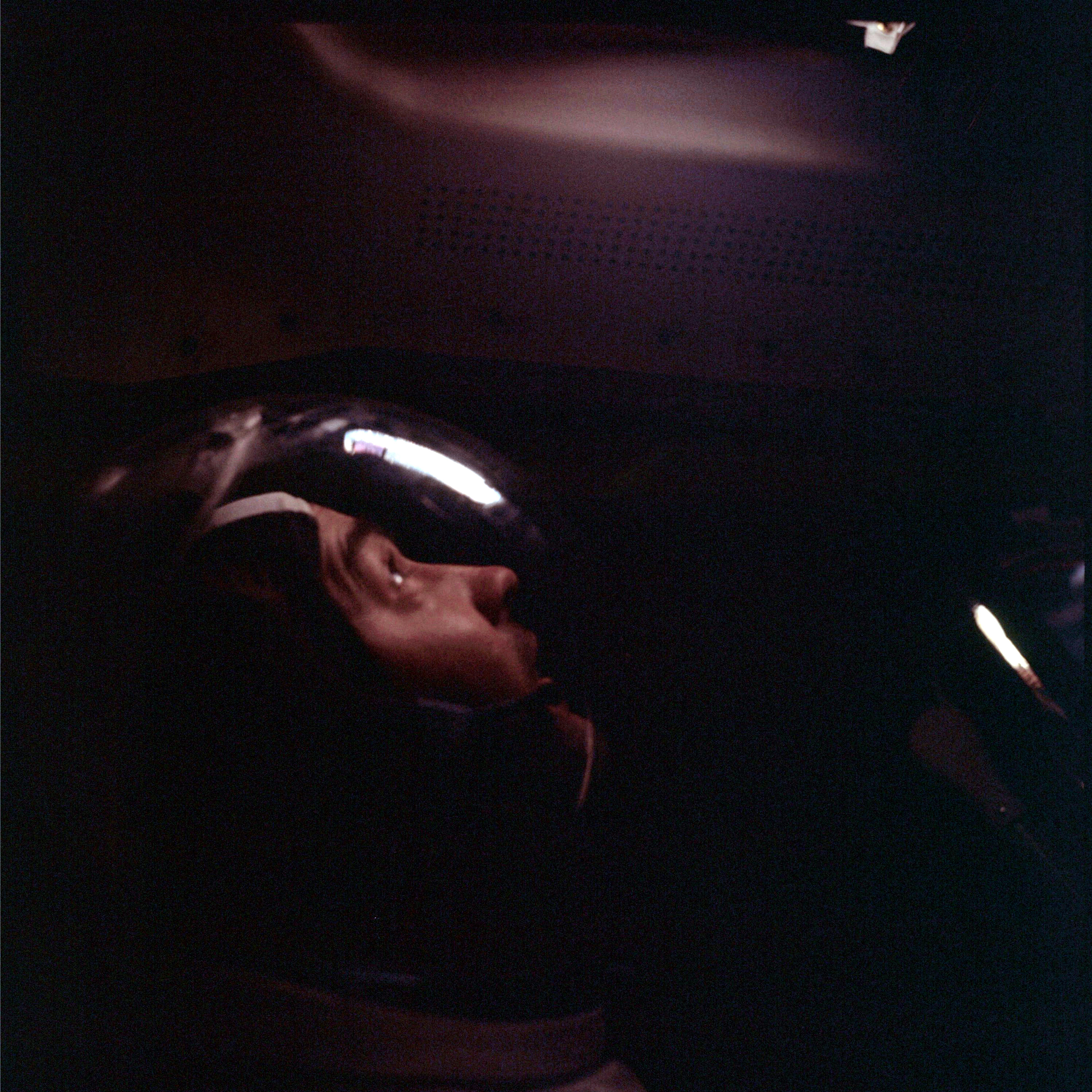 | AS09-24-3664 Small portion of horizon Image credit: Image Science and Analysis Laboratory, NASA-Johnson Space Center. |
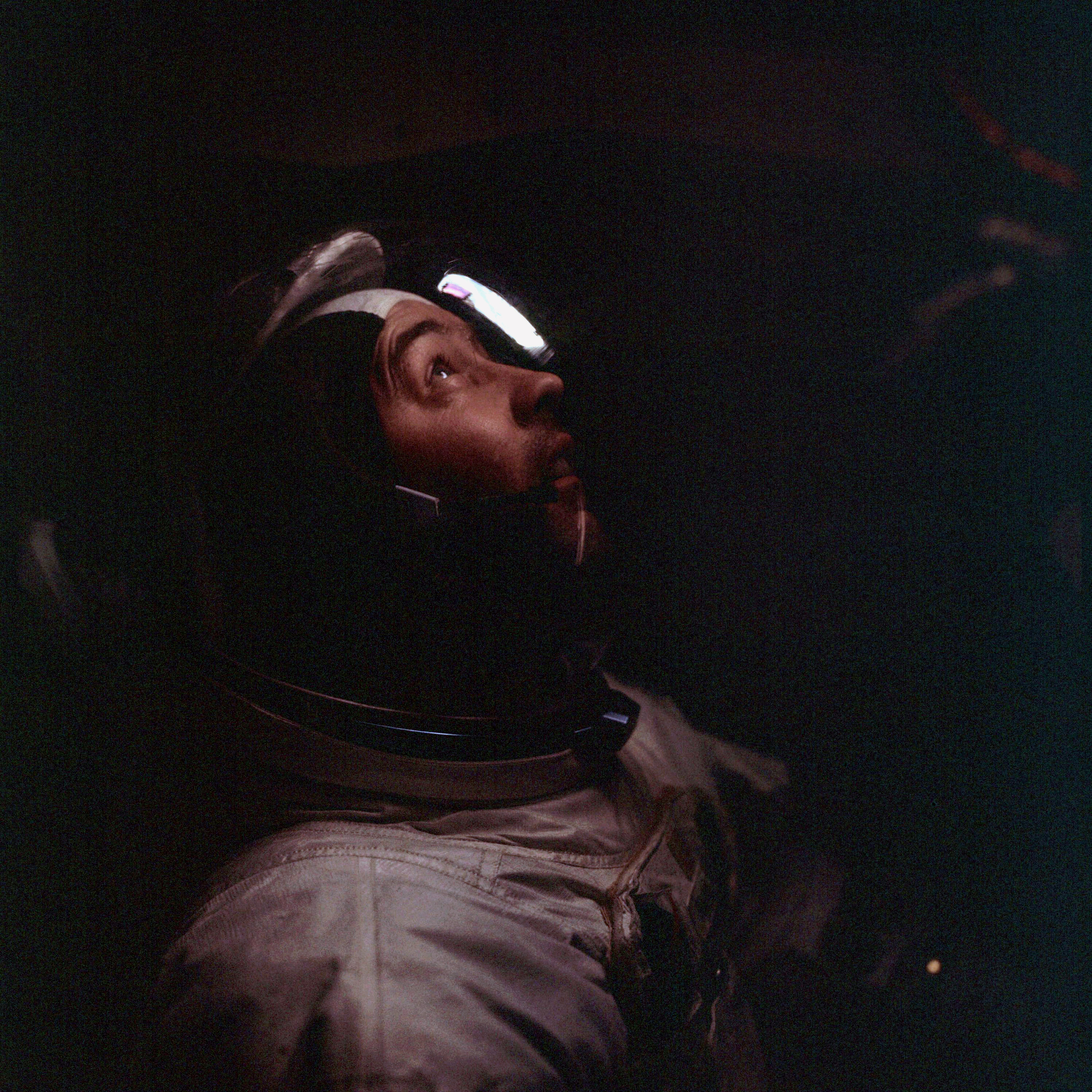 | AS09-24-3665 Small portion of horizon Image credit: Image Science and Analysis Laboratory, NASA-Johnson Space Center. |
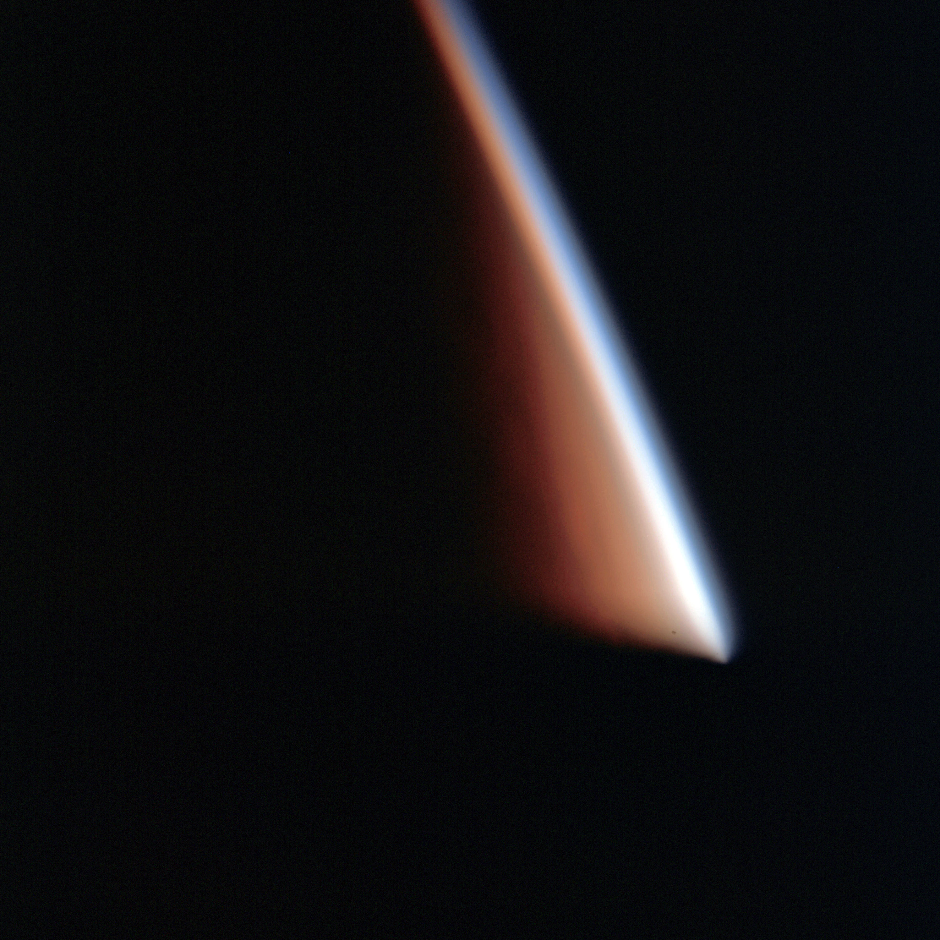 | AS09-24-3666 Small portion of horizon Image credit: Image Science and Analysis Laboratory, NASA-Johnson Space Center. |
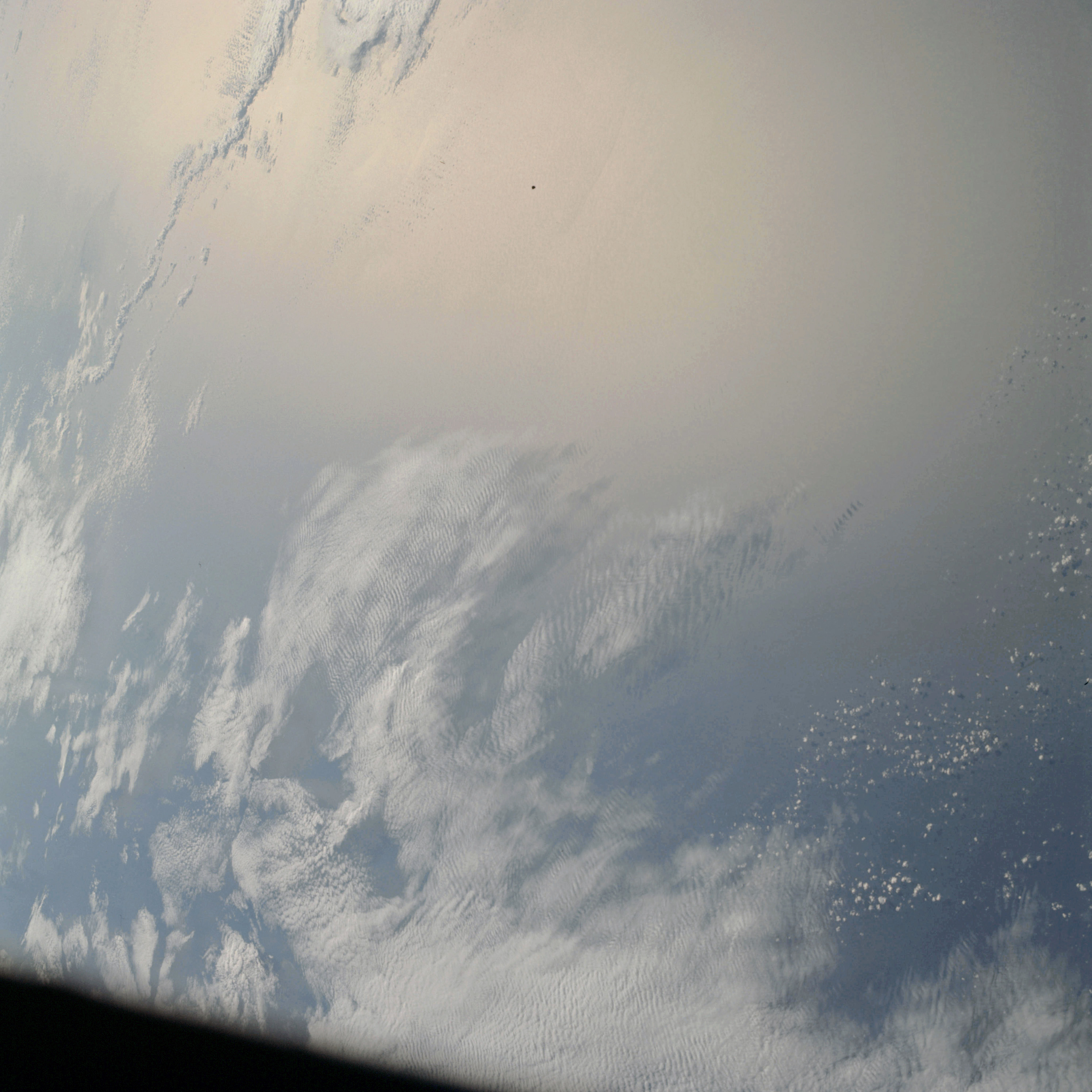 | AS09-24-3667 GEOGRAPHY/CARTOGRAPHY: {Orbit 86). METEOROLOGY: Cirro-cumulus, cumulus humilis. OCEANOGRAPHY: Sun glint, wave pattern discernable. Image credit: Image Science and Analysis Laboratory, NASA-Johnson Space Center. |
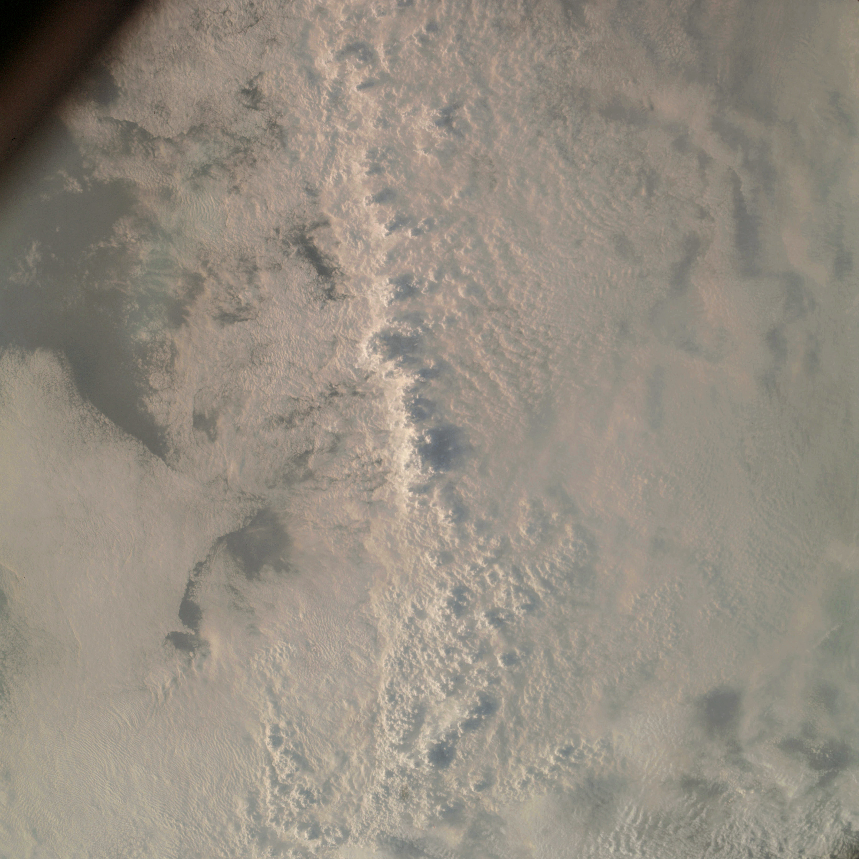 | AS09-24-3668 GEOGRAPHY/CARTOGRAPHY: {Orbit 86). METEOROLOGY: Squall line, cumulo-nimbus, alto-cumulus, cumulus congestus with fracto stratus. Image credit: Image Science and Analysis Laboratory, NASA-Johnson Space Center. |
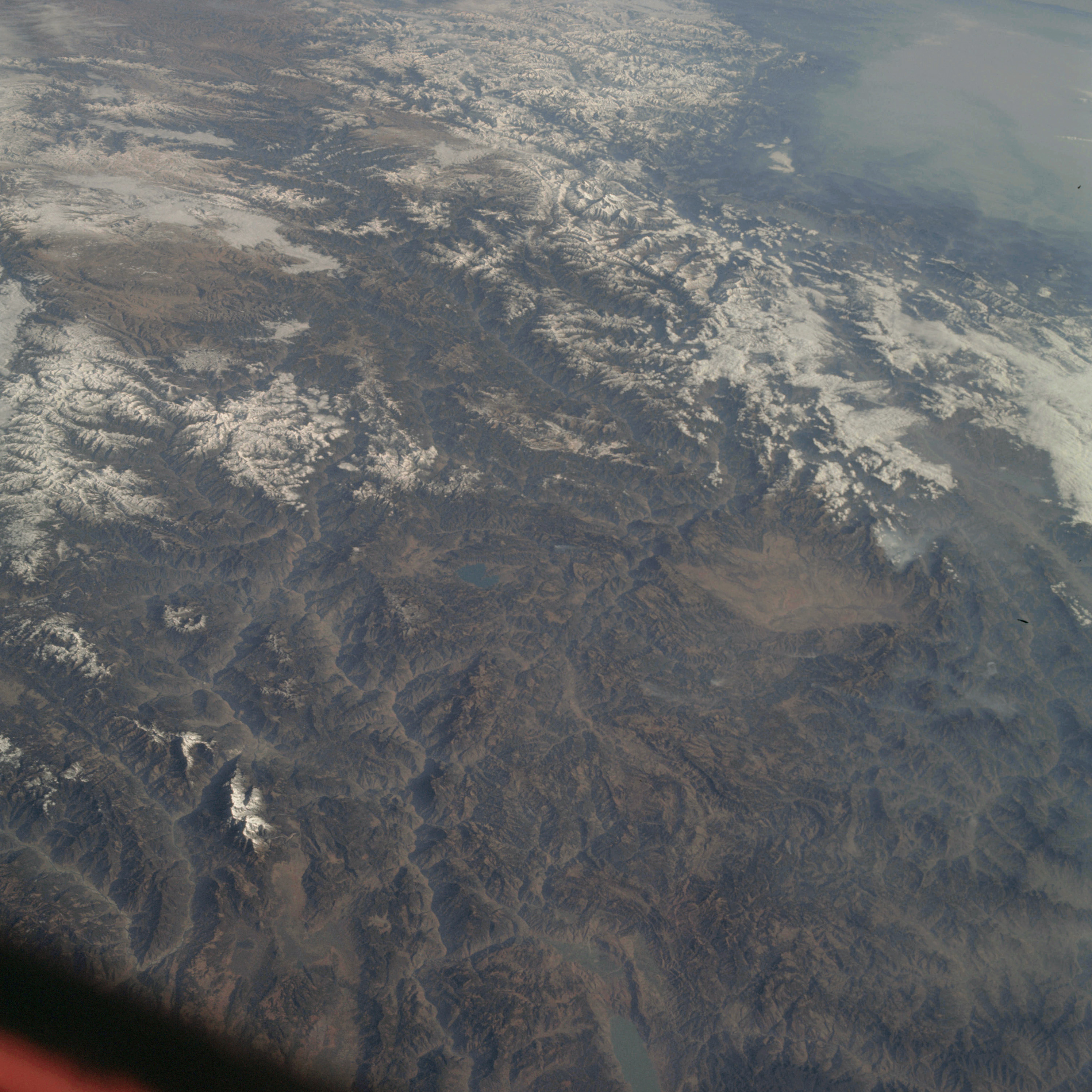 | AS09-24-3669 GEOGRAPHY/CARTOGRAPHY: India, Nepal, Himayalan Mountains, (Orbit 86). GEOLOGY/HYDROLOGY: Complex fold mountains. FORESTRY: Needleleaf evergreen forests. METEOROLOGY: Snow cover in mountain areas. Image credit: Image Science and Analysis Laboratory, NASA-Johnson Space Center. |
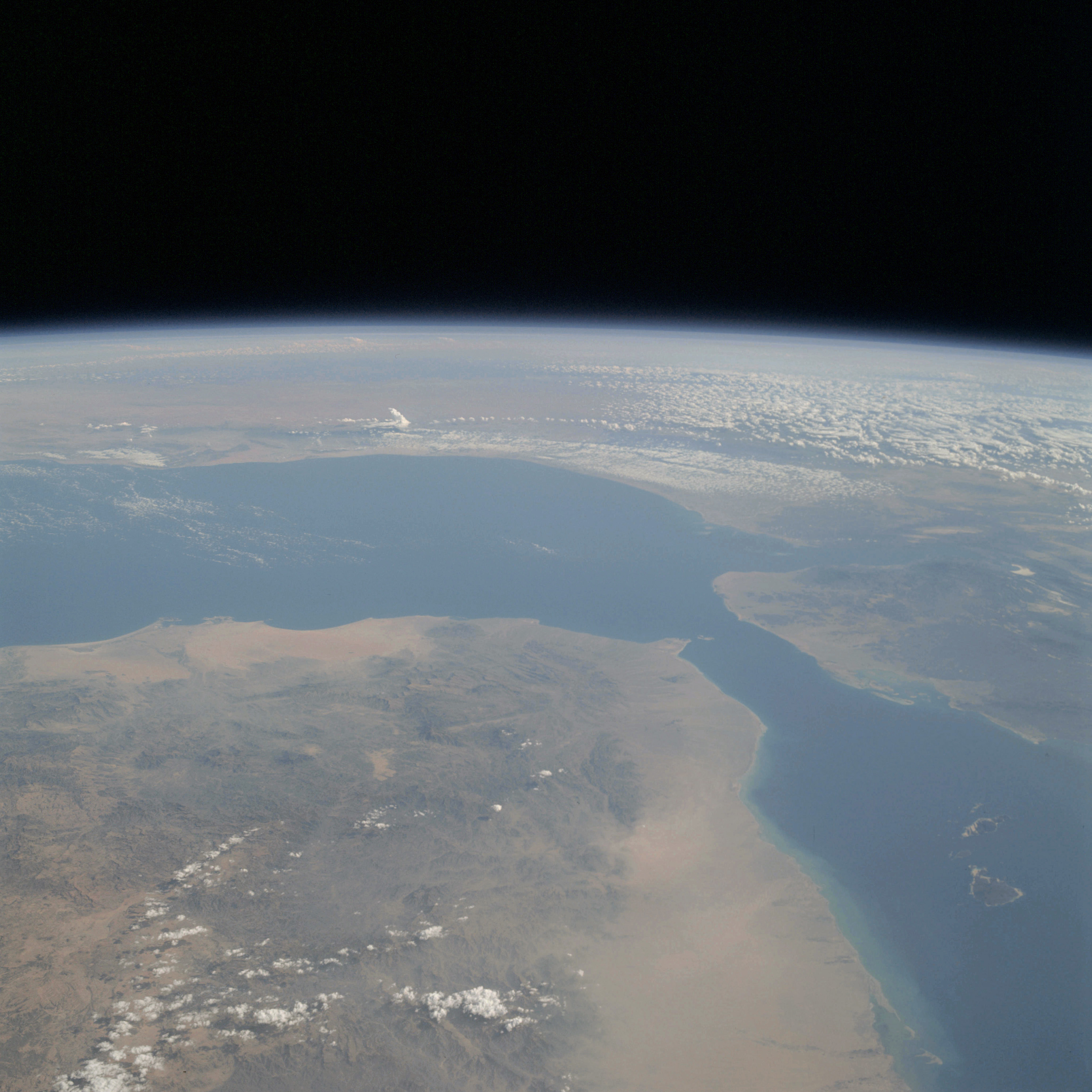 | AS09-24-3670 GEOGRAPHY/CARTOGRAPHY: Yemen, Aden Protectorate, French Somaliland, Ethiopia, Somali Republic, Red Sea, Gulf of Aden, Cities of Al Hudaydah, Zabid, Taizz, Shaykh Uthman, and Djibouti. GEOLOGY/HYDROLOGY: Sedimentary coastal plain and dissected complex plateau. FORESTRY: Scattered deciduous shrubform. METEOROLOGY: Cumulus humilis, cumulus fractus, cumulo-nimbus. OCEANOGRAPHY: Depth variations visible in nearshore zone of the Red Sea. Image credit: Image Science and Analysis Laboratory, NASA-Johnson Space Center. |
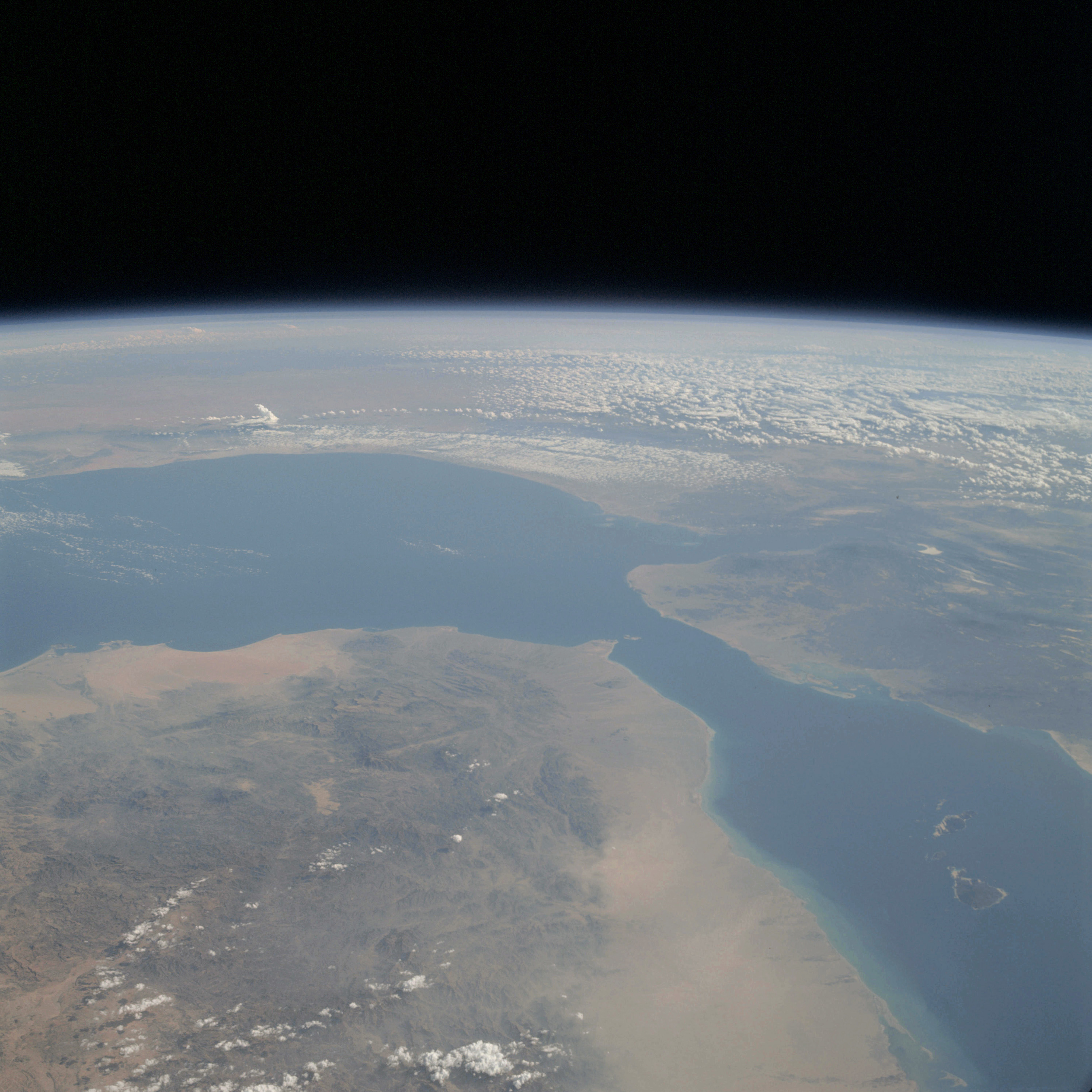 | AS09-24-3671 GEOGRAPHY/CARTOGRAPHY: Yemen, Aden Protectorate, French Somaliland, Ethiopia, Somali Republic, Red Sea, Gulf of Aden, Cities of Zabid, Taizz, Shaykh Uthman, Djibouti, and Berbera. GEOLOGY/HYDROLOGY: Sedimentary coastal plain and dissected complex plateau. FORESTRY: Scattered deciduous shrubform. METEOROLOGY: Cumulus humilis, cumulo-nimbus, alto-cumulus, cumulus fractus. OCEANOGRAPHY: Depth variations visible in the nearshore zone of the Red Sea. Image credit: Image Science and Analysis Laboratory, NASA-Johnson Space Center. |
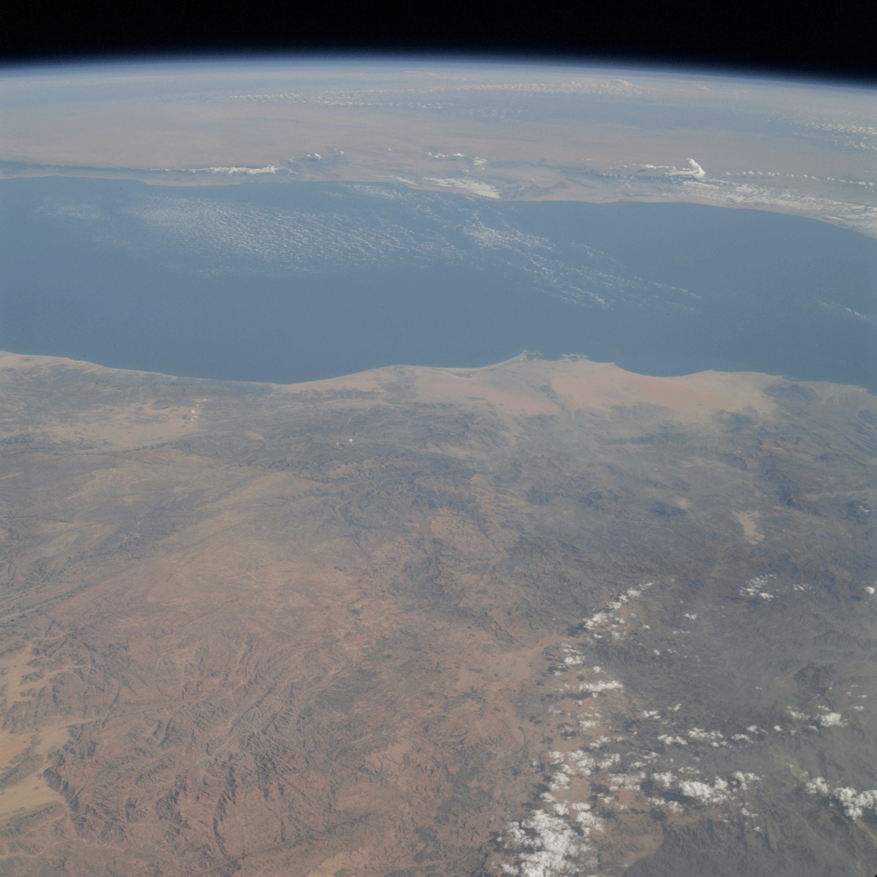 | AS09-24-3672 GEOGRAPHY/CARTOGRAPHY: Yemen, Aden Protectorate, Somali Republic, Gulf of Aden, Cities of Lahij and Shaykh Uthman. GEOLOGY/HYDROLOGY: Sedimentary coastal plain and dissected complex plateau. FORESTRY: Scattered deciduous shrubform. METEOROLOGY: Cirro-cumulus, cumulus humilis, cumulo-nimbus, cumulus fractus. OCEANOGRAPHY: Some bottom topography visible in nearshore zone. Image credit: Image Science and Analysis Laboratory, NASA-Johnson Space Center. |
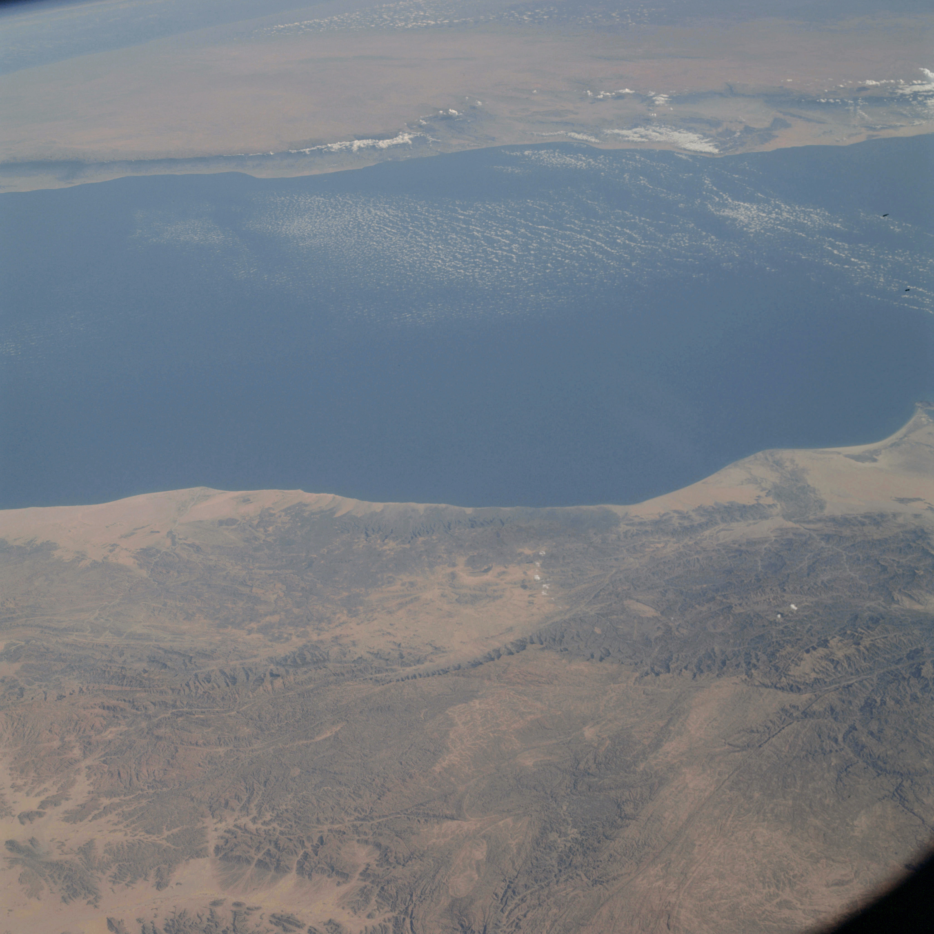 | AS09-24-3673 GEOGRAPHY/CARTOGRAPHY: Aden Protectorate, Yemen, Somali Republic, Gulf of Aden. GEOLOGY/HYDROLOGY: Sedimentary coastal plain and dissected complex plateau. FORESTRY: Scattered deciduous shrubform. METEOROLOGY: Cirro-cumulus, cumulus humilis. OCEANOGRAPHY: Nearshore depth variations visible. Image credit: Image Science and Analysis Laboratory, NASA-Johnson Space Center. |
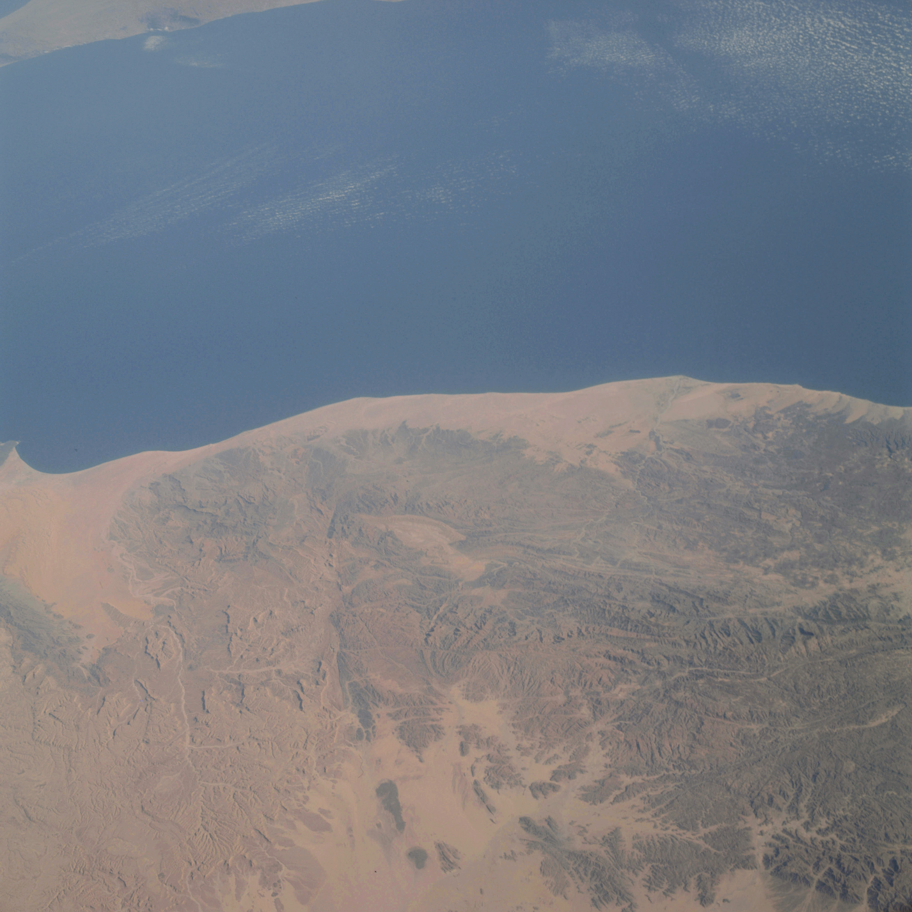 | AS09-24-3674 GEOGRAPHY/CARTOGRAPHY: Aden Protectorate, Somali Republic, Gulf of Aden. GEOLOGY/HYDROLOGY: Sedimentary coastal plain and dissected complex plateau. FORESTRY: Scattered deciduous shrubform. METEOROLOGY: Cirro-cumulus. Image credit: Image Science and Analysis Laboratory, NASA-Johnson Space Center. |
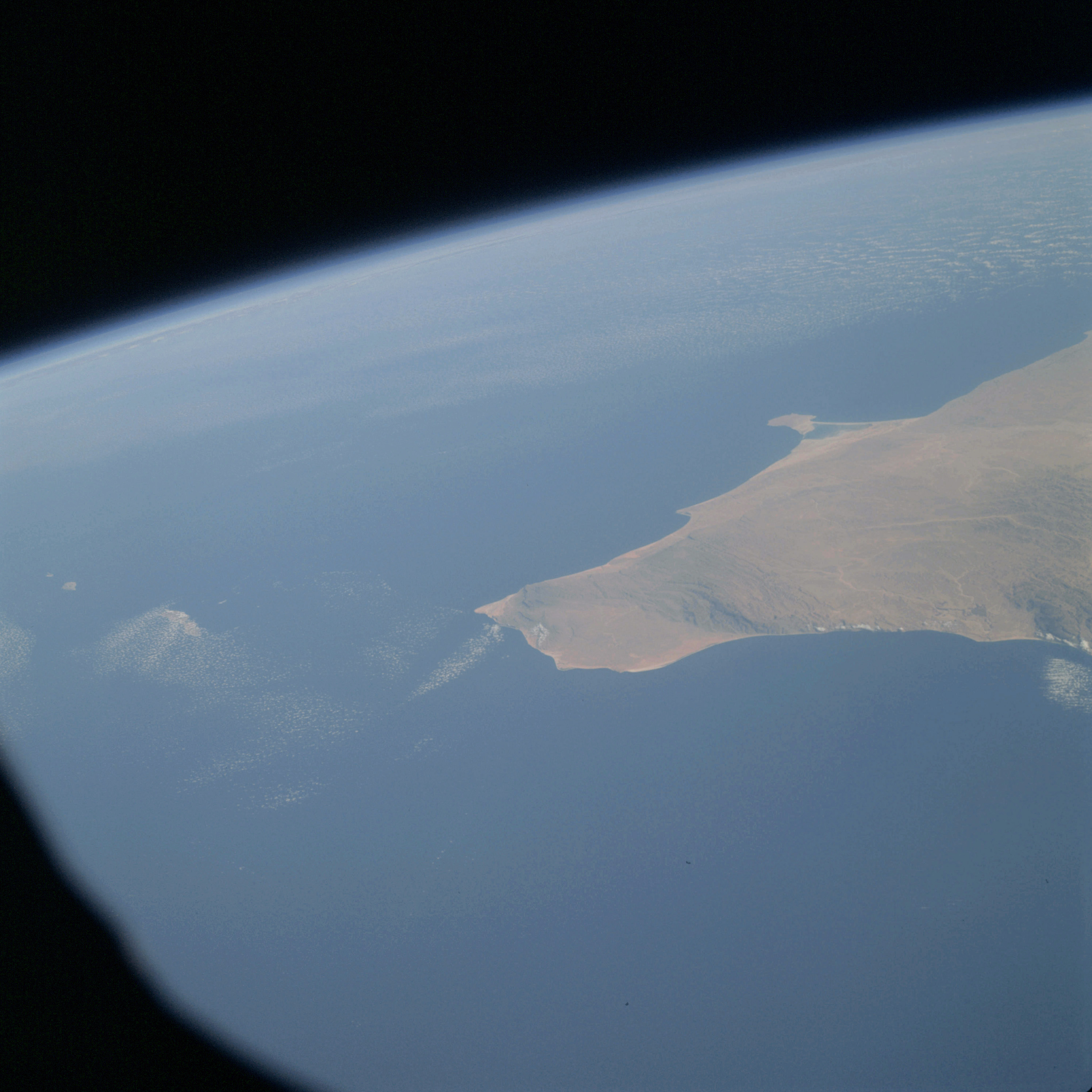 | AS09-24-3675 GEOGRAPHY/CARTOGRAPHY: Africa, Somali Republic, Indian Ocean, Gulf of Aden, Abd a Kuri Island, Cape Guardafui, Mount Hoda, Hafun Peninsula. GEOLOGY/HYDROLOGY: Narrow and discontinuous sedimentary coastal plain, complex plateau. FORESTRY: Scattered shrubform. METEOROLOGY: Cumulus fractus, cirro-cumulus Image credit: Image Science and Analysis Laboratory, NASA-Johnson Space Center. |
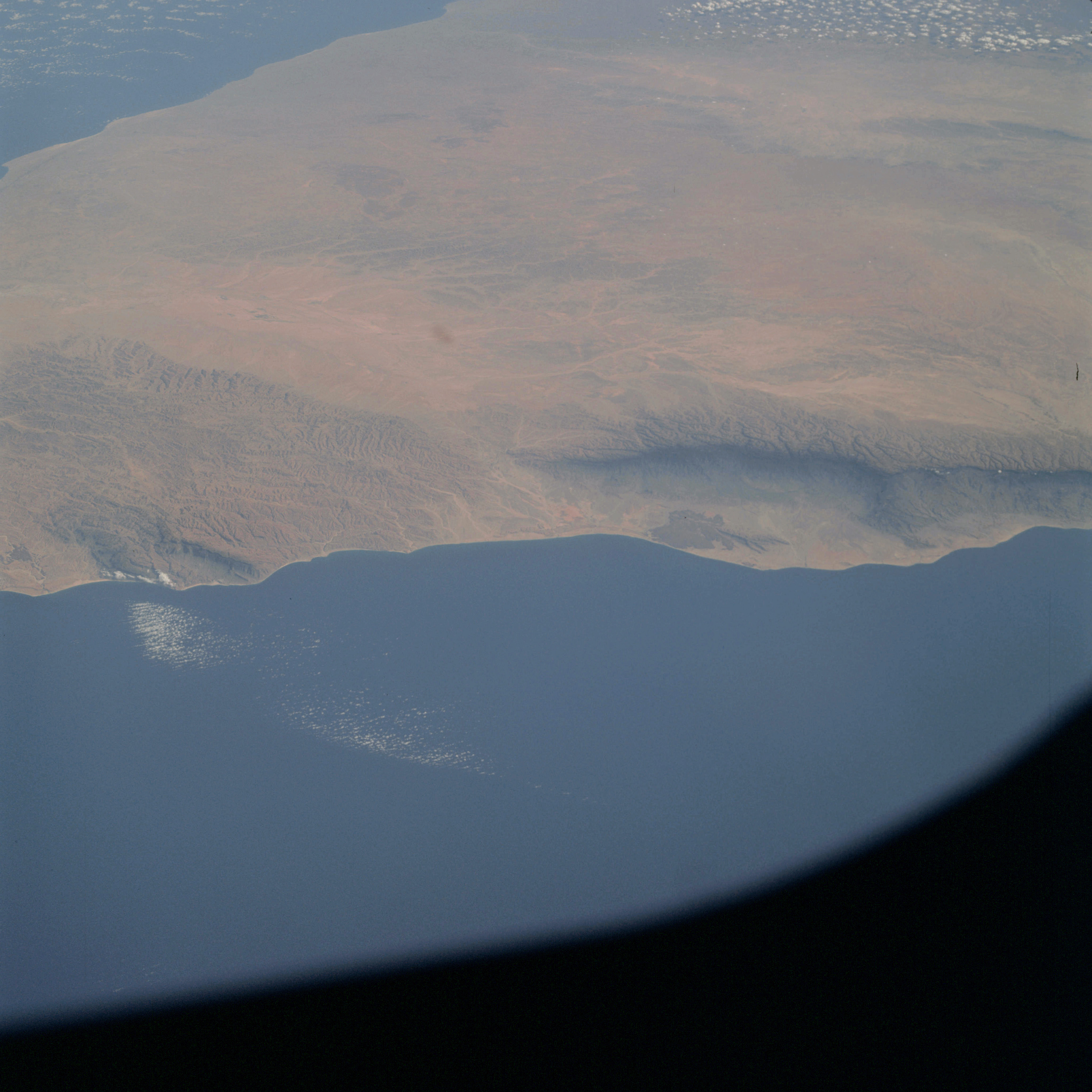 | AS09-24-3676 GEOGRAPHY/CARTOGRAPHY: Africa, Somali Republic, Gulf of Aden, Mounts Bahaia, Al Madu and Surud Ad, Villages of Bosaso, Elayu, and Bander Harshau. GEOLOGY/HYDROLOGY: Complex dissected plateau. FORESTRY: Scattered shrubform. METEOROLOGY: Cirro-cumulus. Image credit: Image Science and Analysis Laboratory, NASA-Johnson Space Center. |
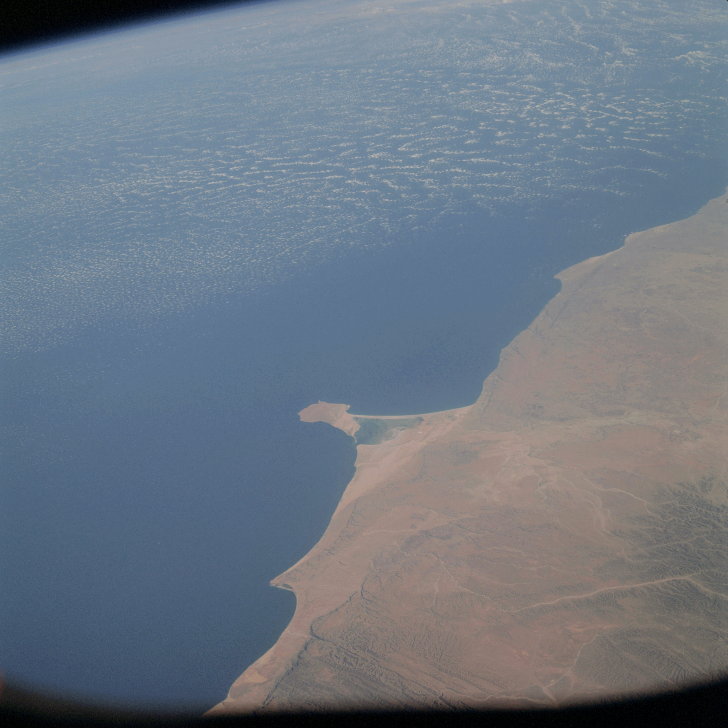 | AS09-24-3677 GEOGRAPHY/CARTOGRAPHY: Africa, Somali Republic, Hafun Peninsula, Point Binnah, Villages of Hordio and Hafun. GEOLOGY/HYDROLOGY: Narrow and discontinuous sedimentary coastal plain and dissected complex plateau. FORESTRY: Scattered shrubform. METEOROLOGY: Cirro-cumulus. Image credit: Image Science and Analysis Laboratory, NASA-Johnson Space Center. |
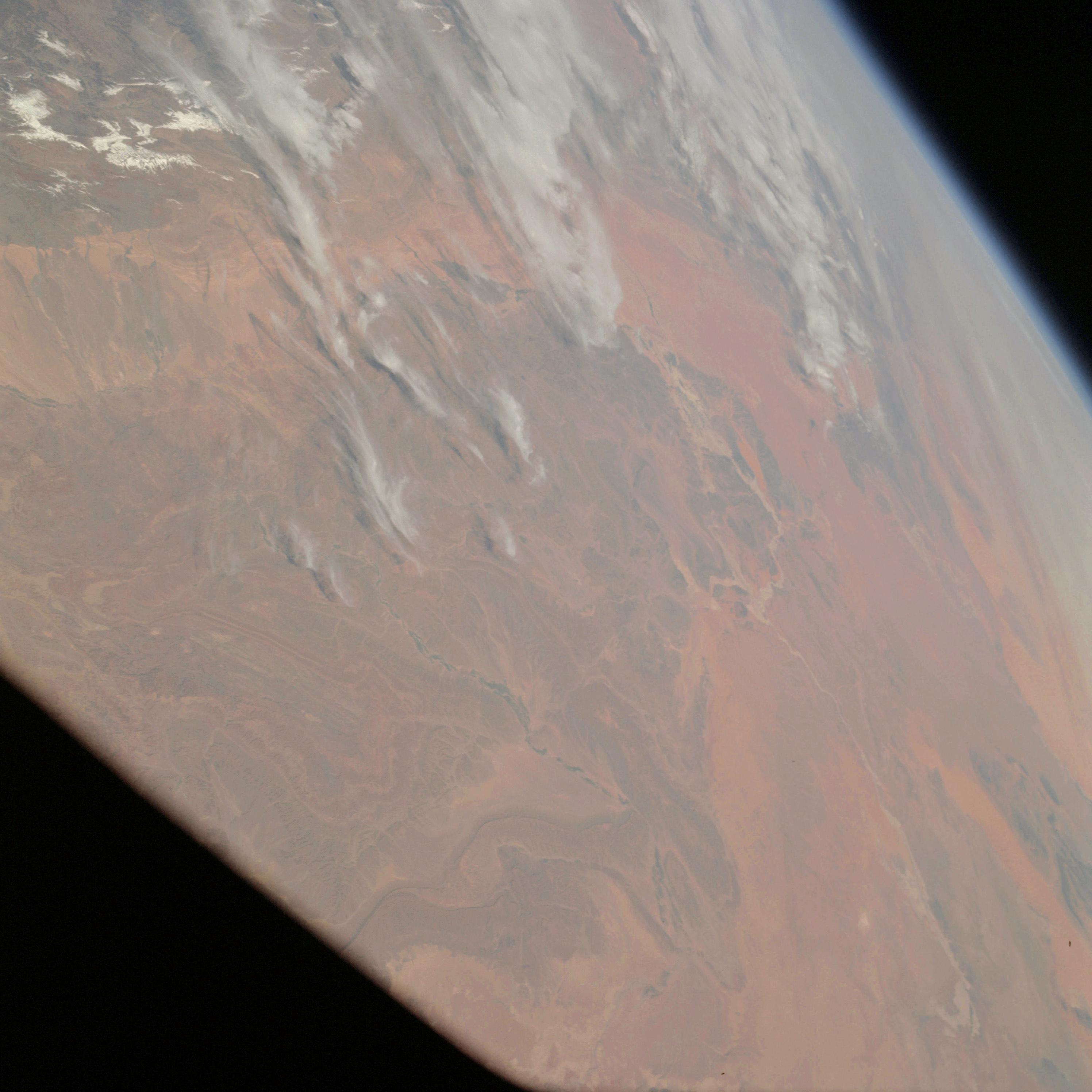 | AS09-24-3678 GEOGRAPHY/CARTOGRAPHY: Africa, Morocco, Algeria, Erg [missing] Raoul, Atlas Mountains. GEOLOGY/HYDROLOGY: Complex metamorphic plateau. FORESTRY: Scattered shrubform. METEOROLOGY: Cirrus fibratus, alto-stratus, snow cover in high elevations of mountains. Image credit: Image Science and Analysis Laboratory, NASA-Johnson Space Center. |
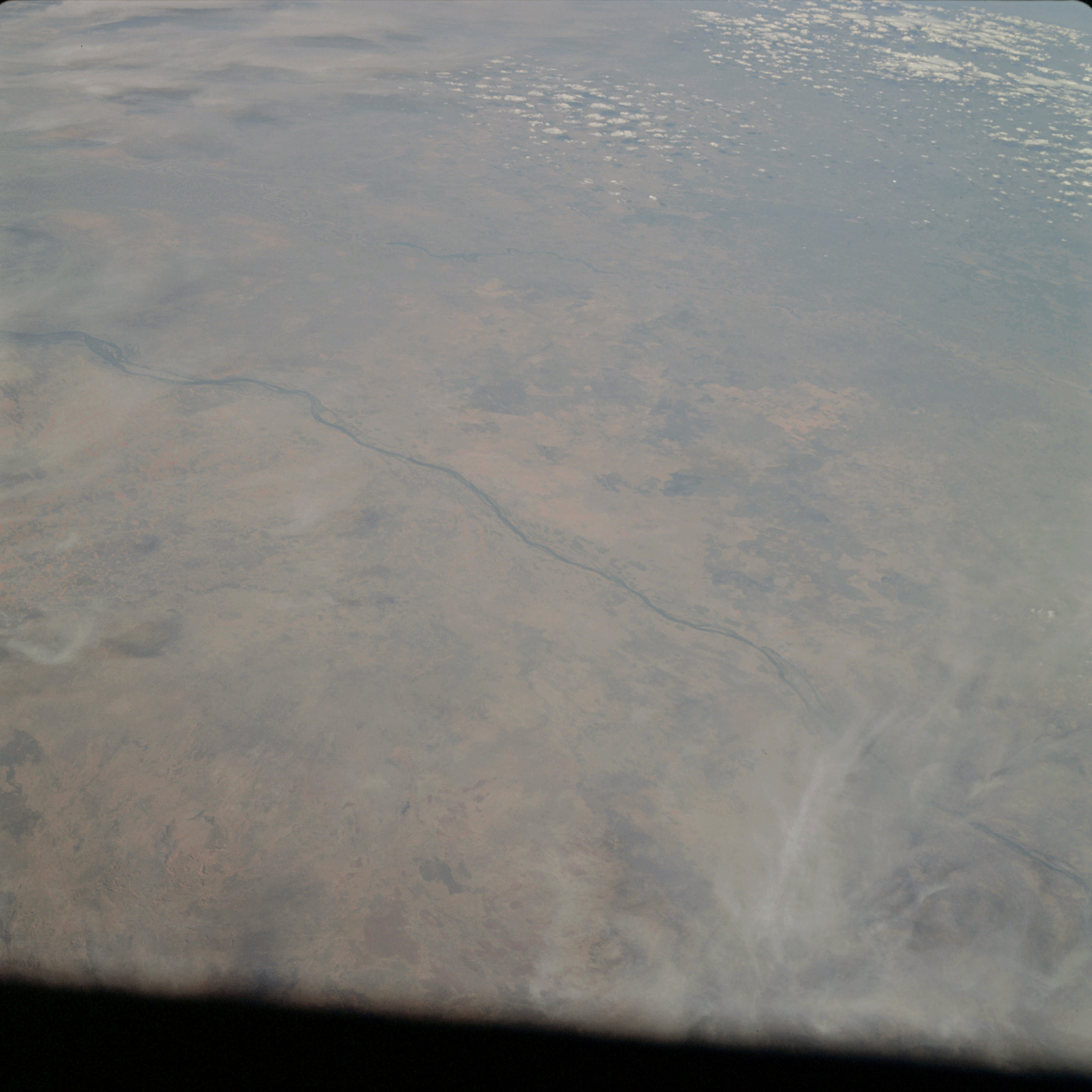 | AS09-24-3679 GEOGRAPHY/CARTOGRAPHY: Africa, Sudan, Blue and White Nile Rivers, Towns of Kosti, Ed Dueim, Wad Medina and Er Roseires. GEOLOGY/HYDROLOGY: Flood plain adjoined by complex plateau. AGRICULTURE: Field patterns visible along Blue Nile River. FORESTRY: Shrubform sparse to very dense with intermittent low grass savanna. METEOROLOGY: Alto-cumulus. Image credit: Image Science and Analysis Laboratory, NASA-Johnson Space Center. |
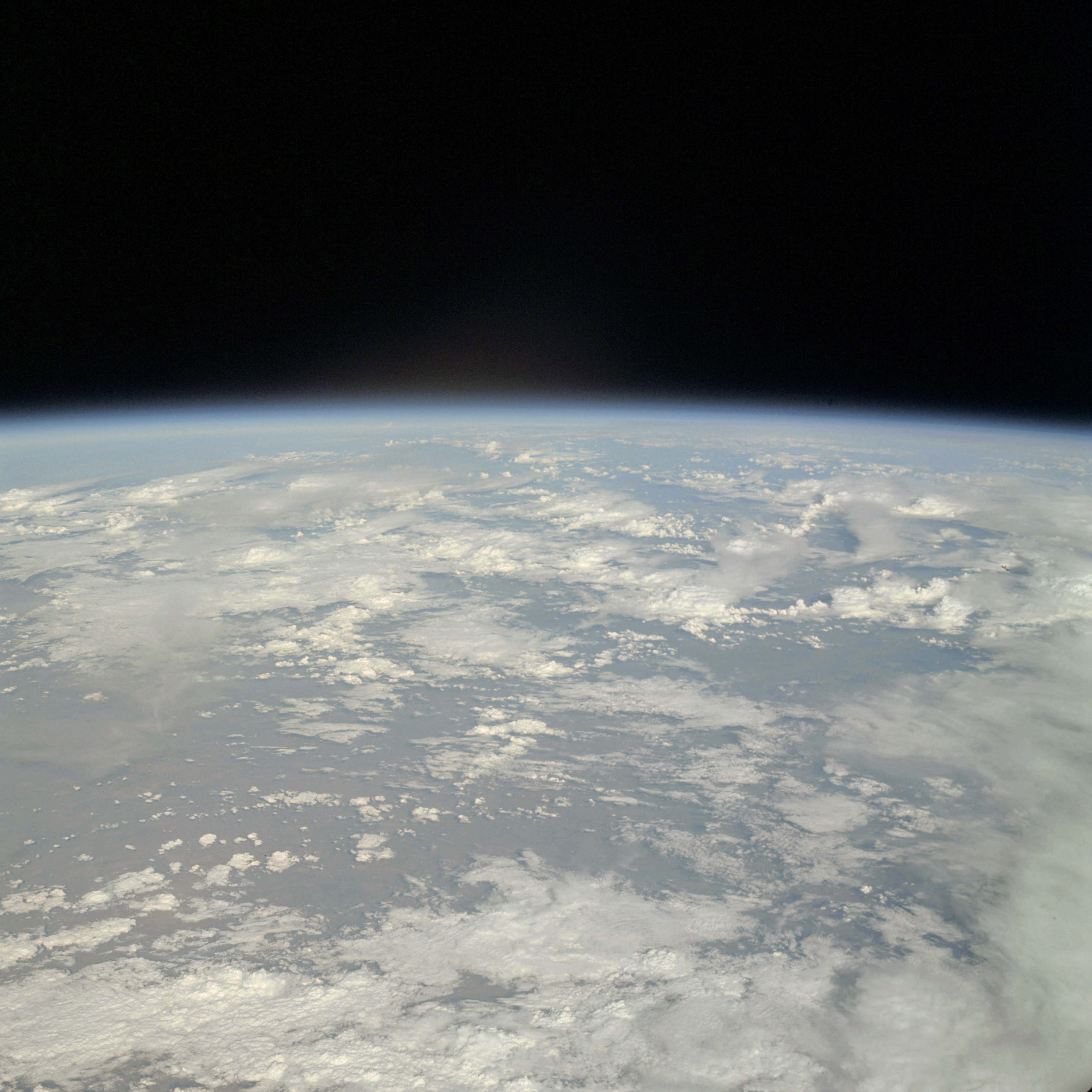 | AS09-24-3680 GEOGRAPHY/CARTOGRAPHY: Limb shot (Orbit 90,91). METEOROLOGY: Nimbo-stratus, cumulus congestus, alto-stratus. Image credit: Image Science and Analysis Laboratory, NASA-Johnson Space Center. |
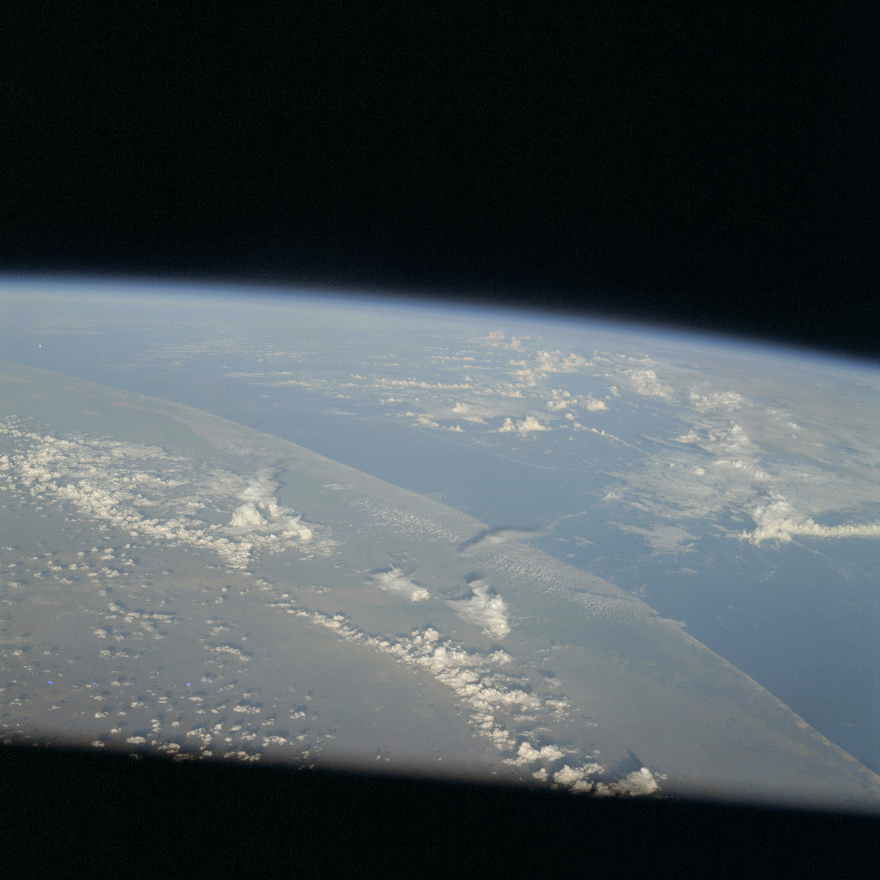 | AS09-24-3681 GEOGRAPHY/CARTOGRAPHY: Limb shot. METEOROLOGY: Cumulo-nimbus with anvil, cumulus congestus, cumulus humilis. Image credit: Image Science and Analysis Laboratory, NASA-Johnson Space Center. |
|
|
|
| 70-mm magazine D - AS09-23-3475 to 3618 |
Photography Index | 70-mm magazine G - AS09-25-3682 to 3695 |