
 |
 |
 |
| 70-mm magazine E - AS09-20-3053 to 3177 |
Photography Index | 70-mm magazine C - AS09-22-3324 to 3474 |
No copyright is asserted for NASA photographs. If a recognizable person appears in a photo, use for commercial purposes may infringe a right of privacy or publicity. Photos may not be used to state or imply the endorsement by NASA or by any NASA employee of a commercial product, process or service, or used in any other manner that might mislead. Accordingly, it is requested that if a NASA photograph is used in advertising and other commercial promotion, layout and copy be submitted to NASA prior to release. NASA photos reproduced from this archive should include photo credit to "NASA" or "National Aeronautics and Space Administration" and should include scanning credit to the appropriate individuals or agencies as noted in the captions.
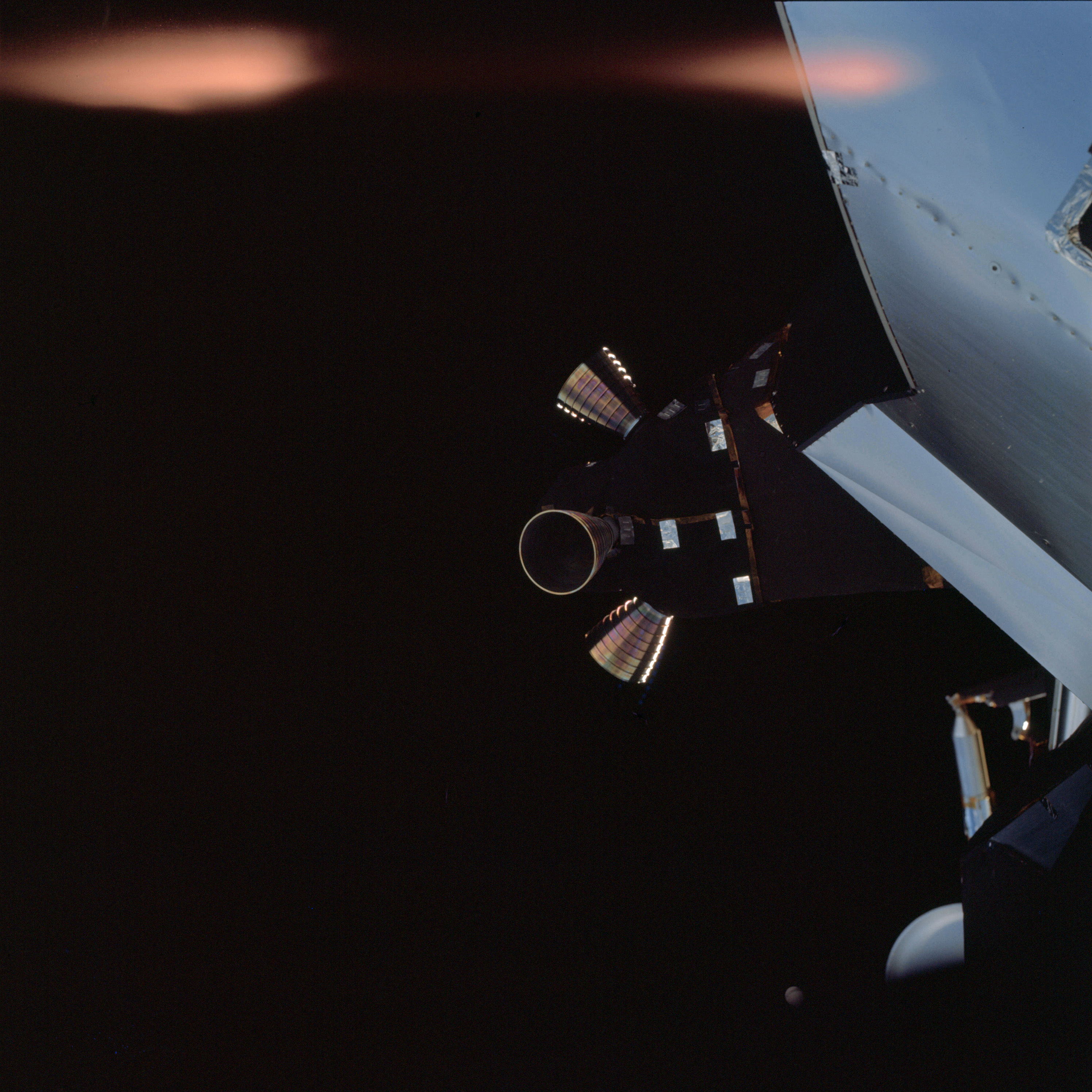 | AS09-21-3178 Command Module Image credit: Image Science and Analysis Laboratory, NASA-Johnson Space Center. |
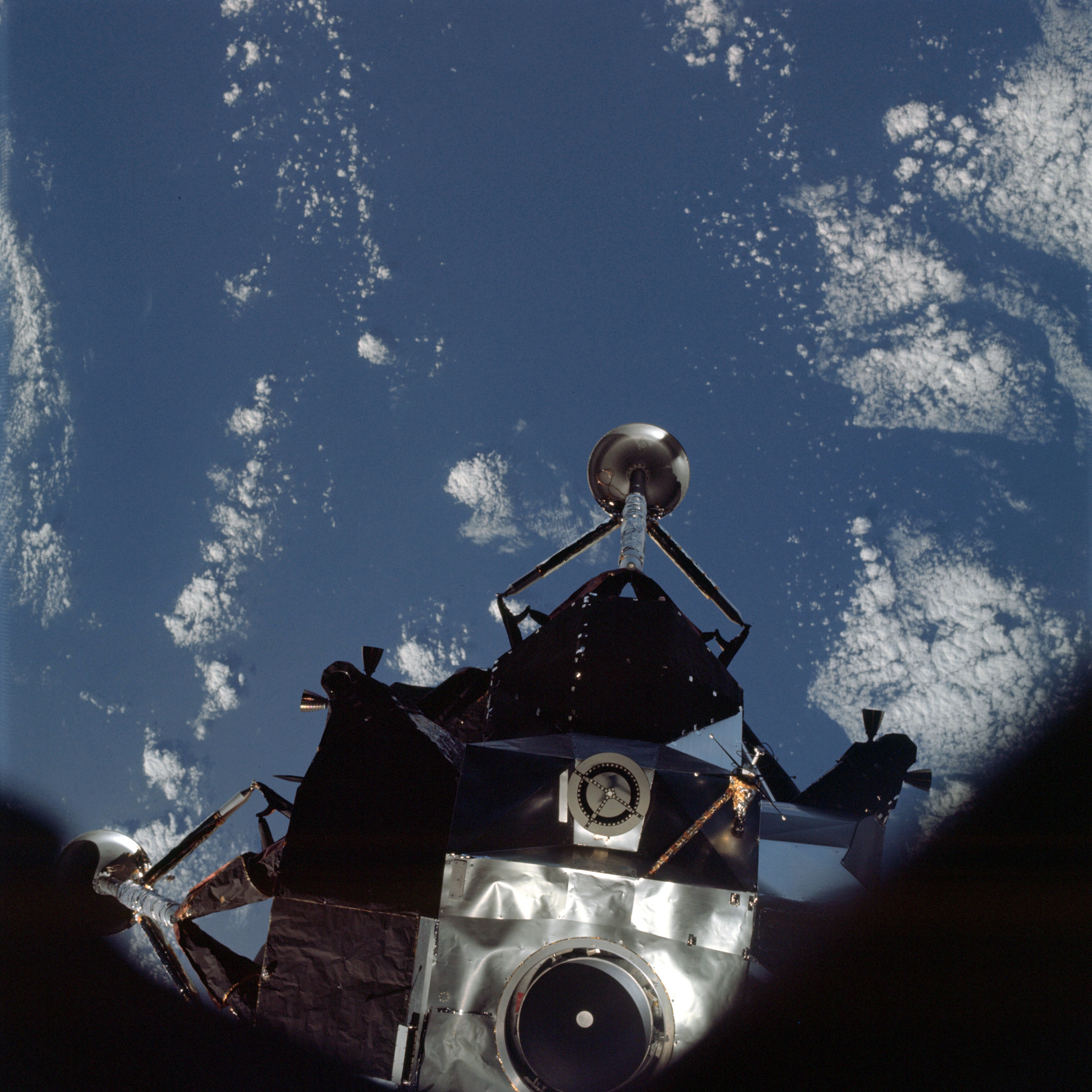 | AS09-21-3179 Lunar Module Image credit: Image Science and Analysis Laboratory, NASA-Johnson Space Center. |
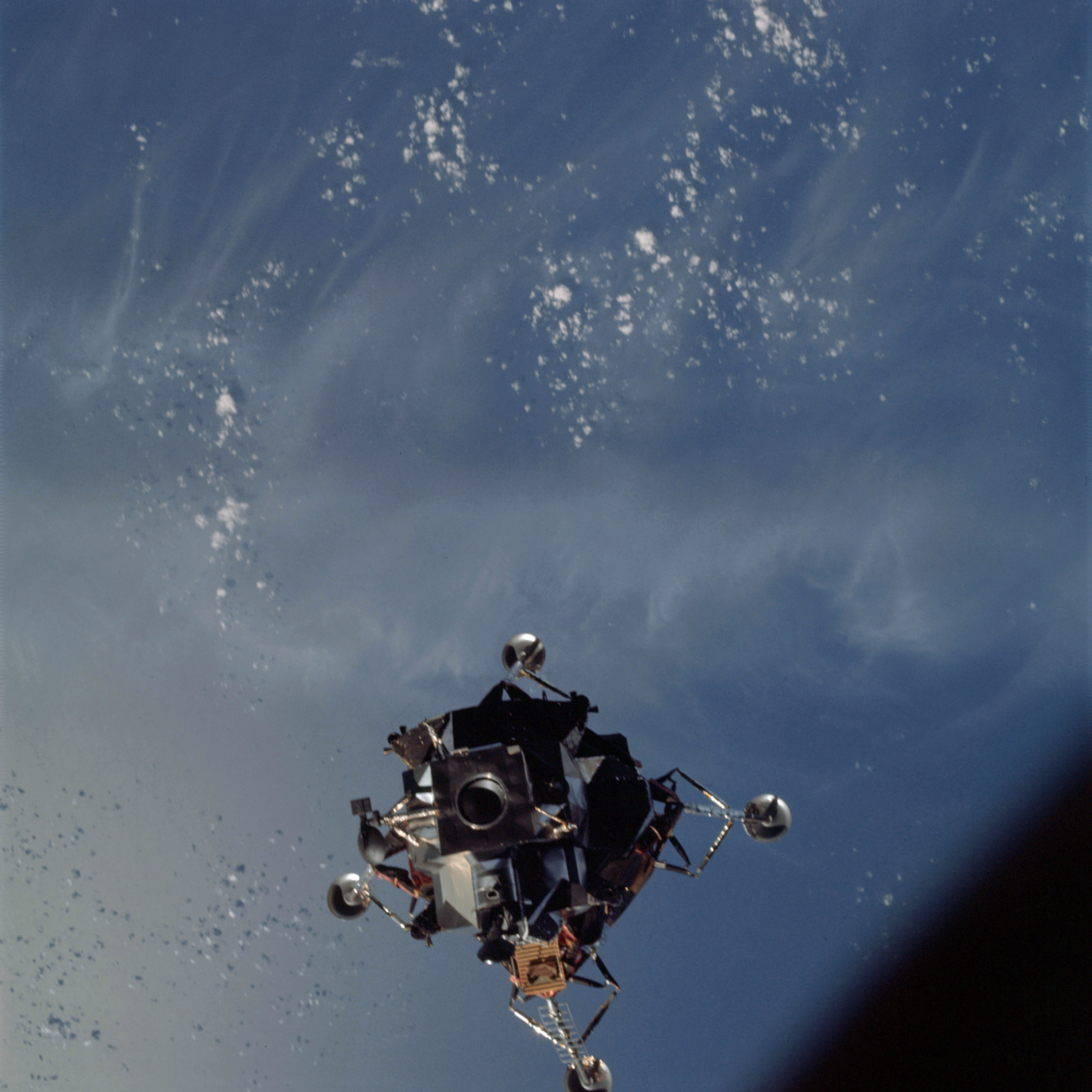 | AS09-21-3180 Lunar Module Image credit: Image Science and Analysis Laboratory, NASA-Johnson Space Center. |
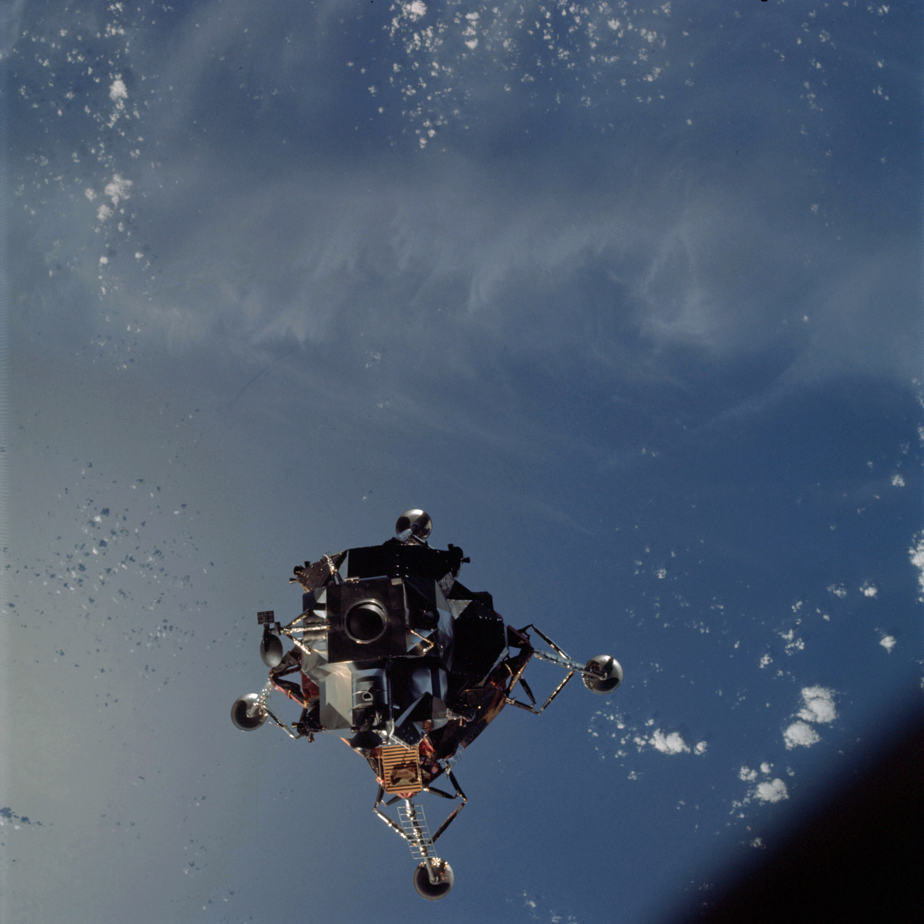 | AS09-21-3181 Lunar Module Image credit: Image Science and Analysis Laboratory, NASA-Johnson Space Center. |
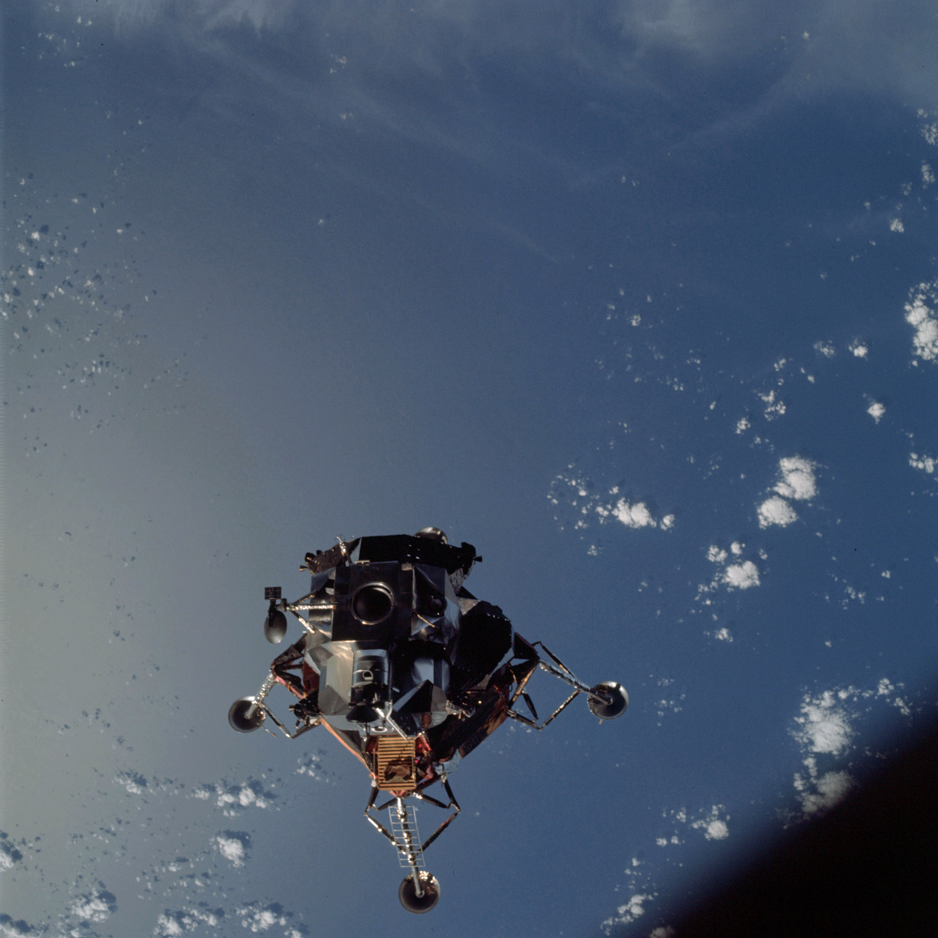 | AS09-21-3182 Lunar Module Image credit: Image Science and Analysis Laboratory, NASA-Johnson Space Center. |
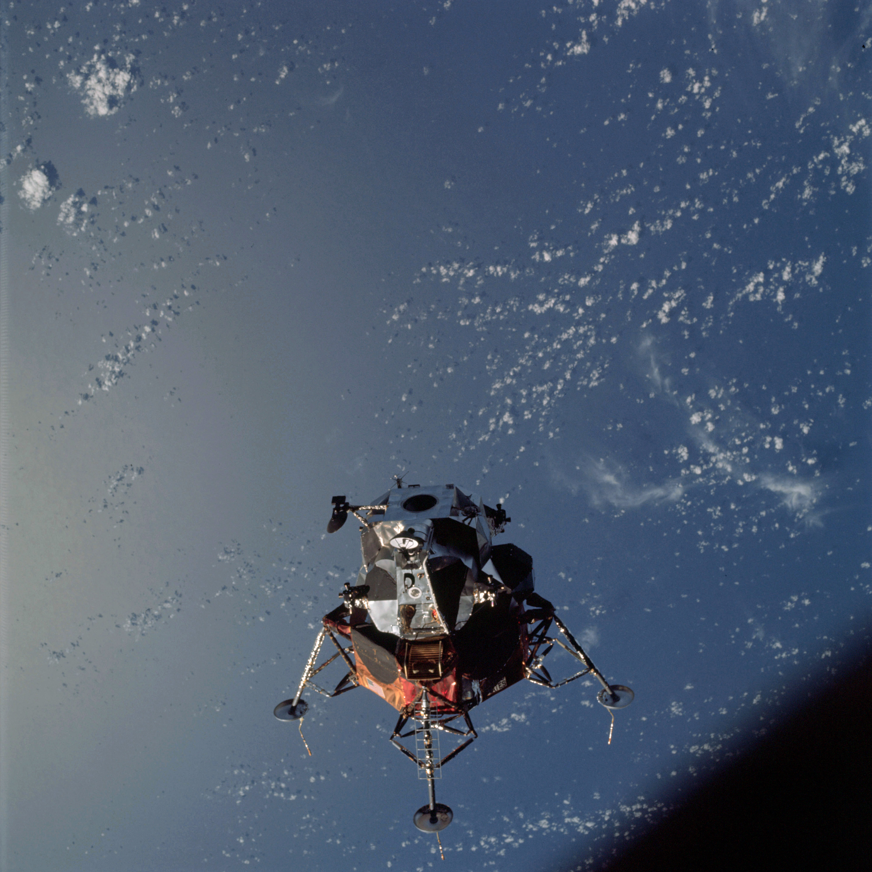 | AS09-21-3183 Lunar Module Image credit: Image Science and Analysis Laboratory, NASA-Johnson Space Center. |
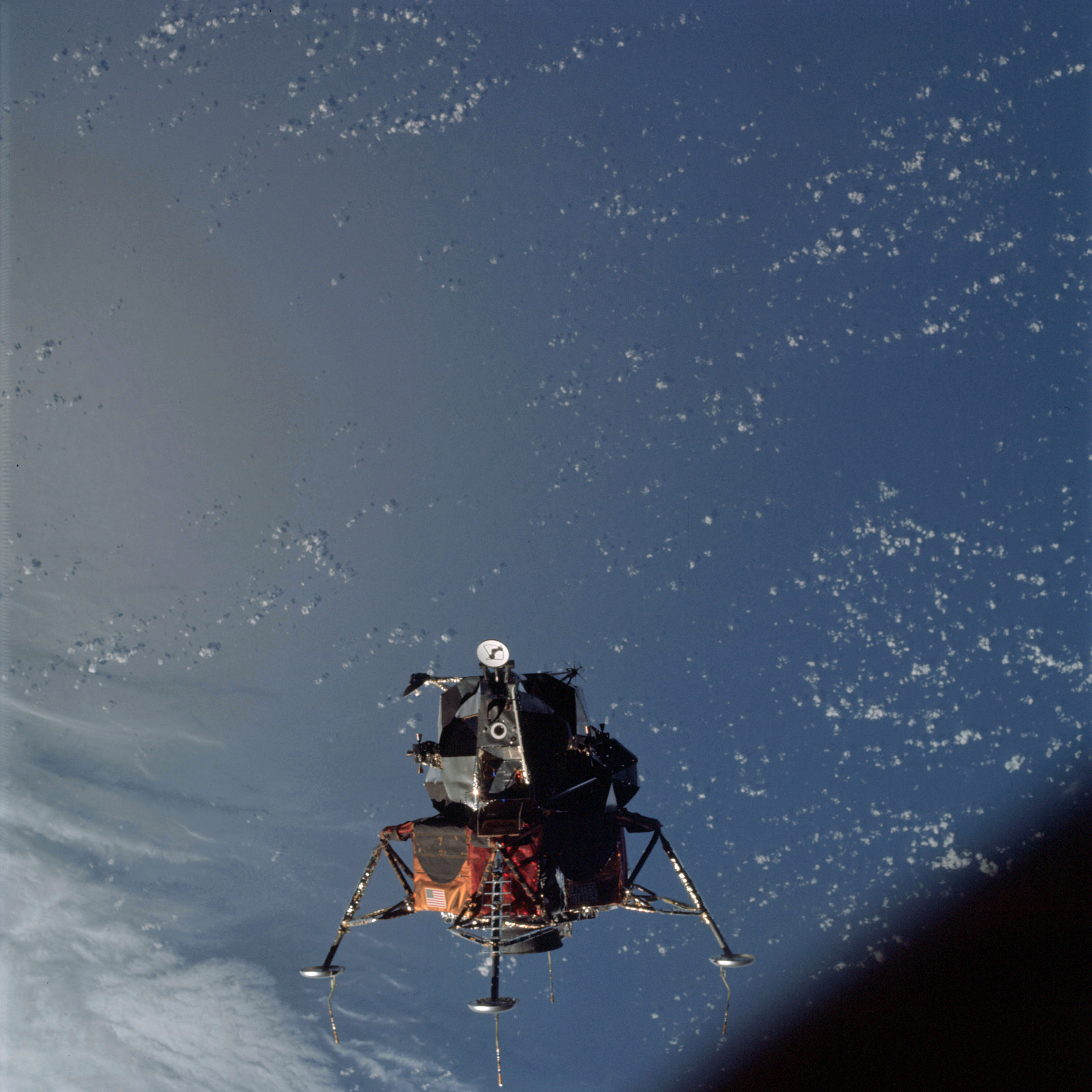 | AS09-21-3184 Lunar Module Image credit: Image Science and Analysis Laboratory, NASA-Johnson Space Center. |
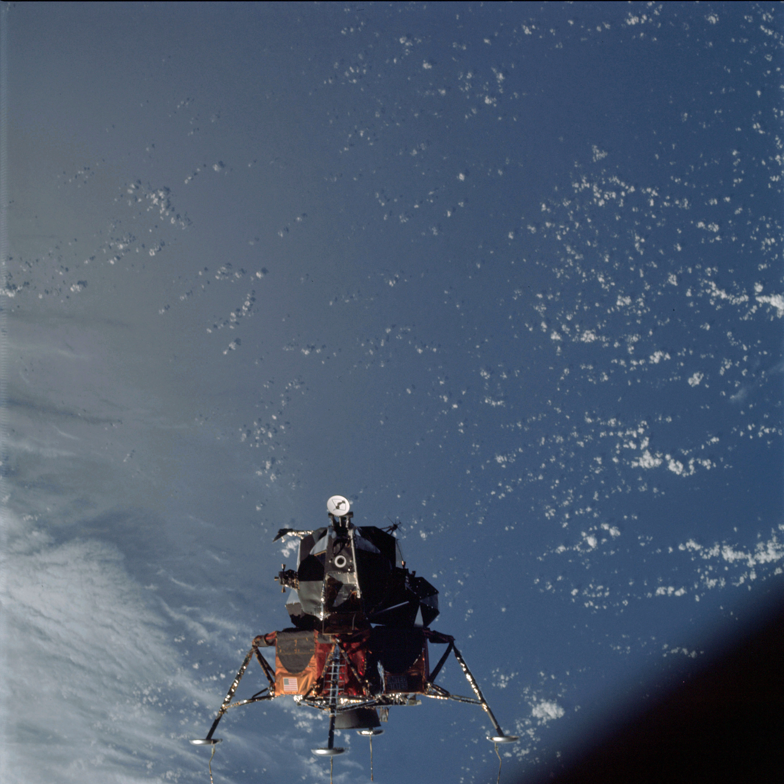 | AS09-21-3185 Lunar Module Image credit: Image Science and Analysis Laboratory, NASA-Johnson Space Center. |
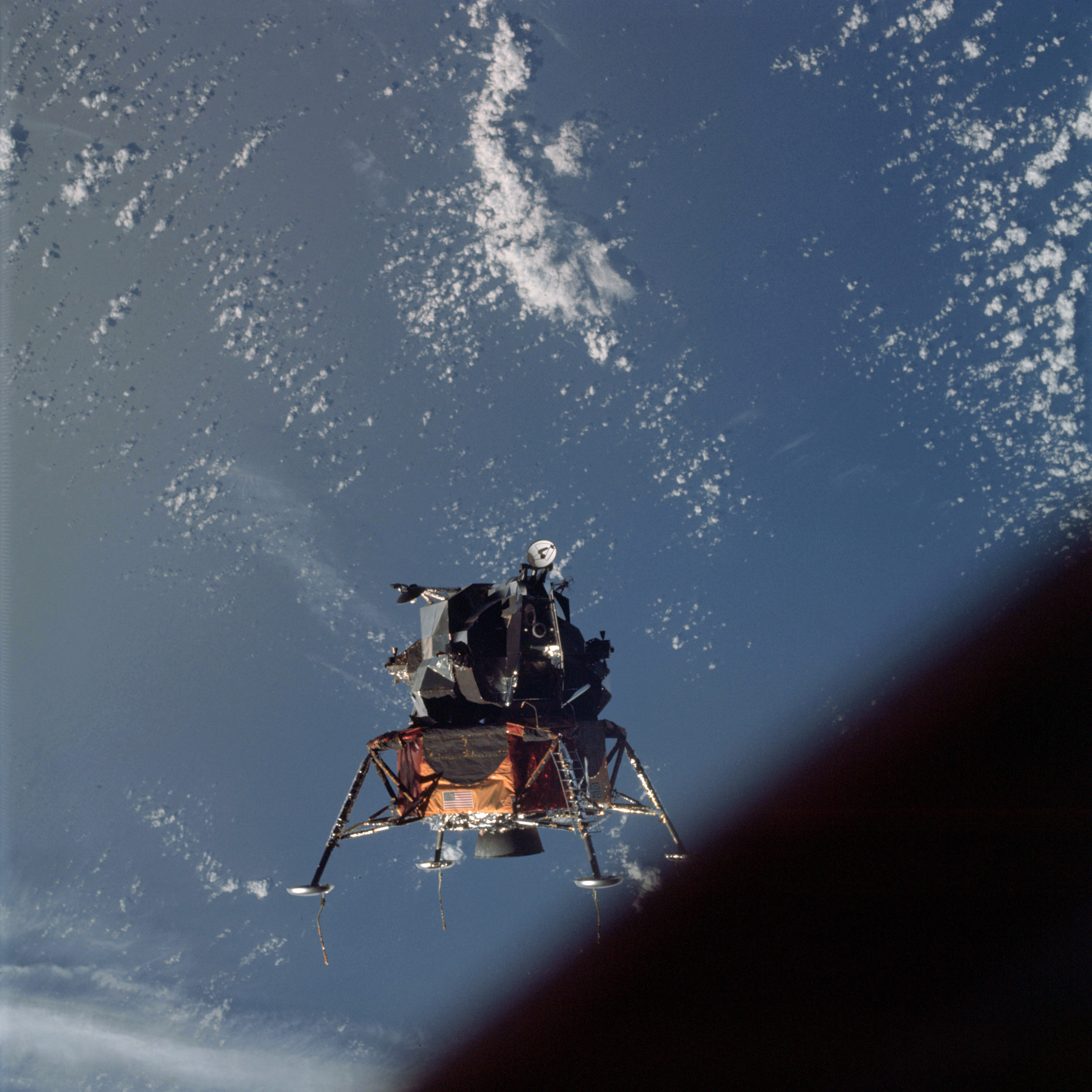 | AS09-21-3186 Lunar Module Image credit: Image Science and Analysis Laboratory, NASA-Johnson Space Center. |
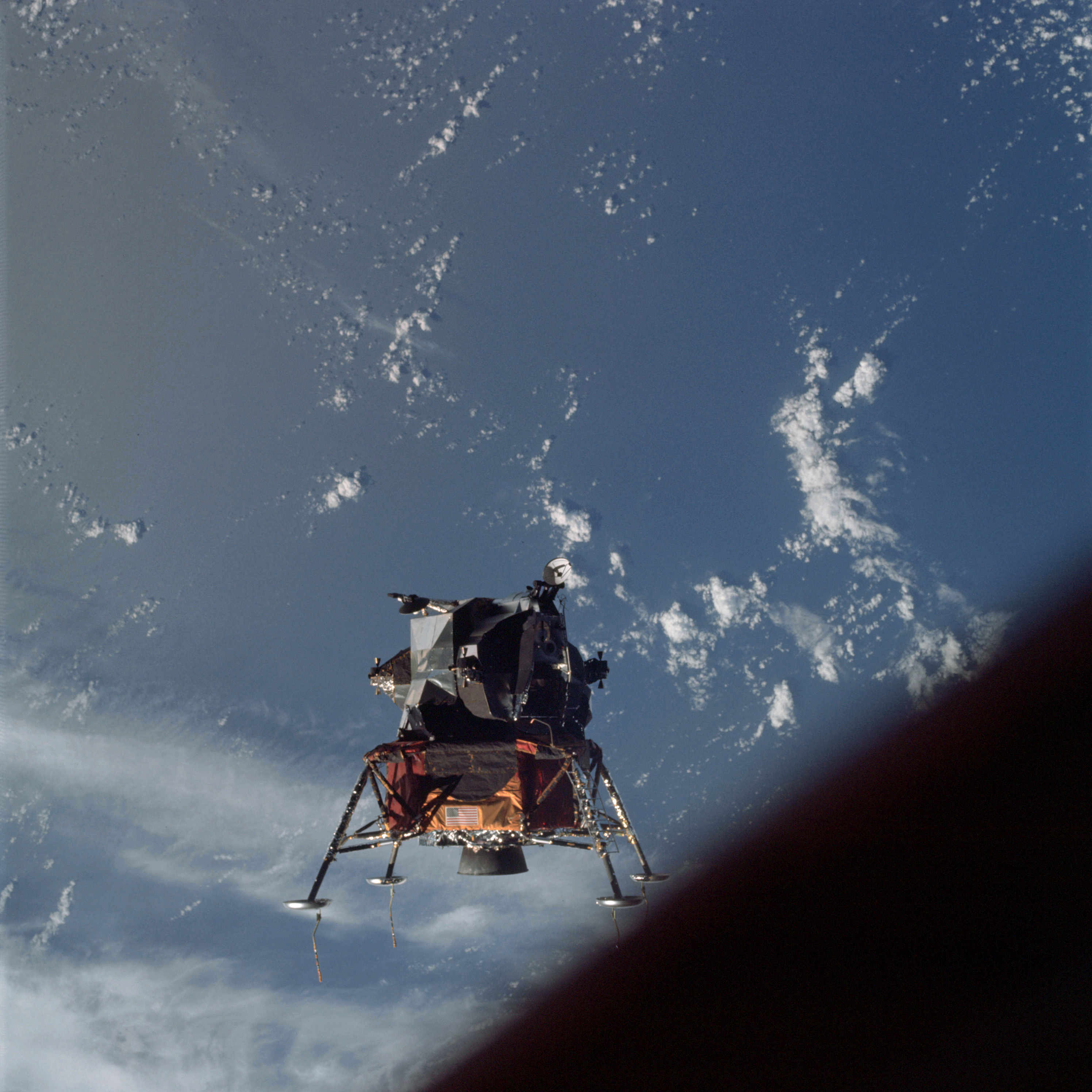 | AS09-21-3187 Lunar Module Image credit: Image Science and Analysis Laboratory, NASA-Johnson Space Center. |
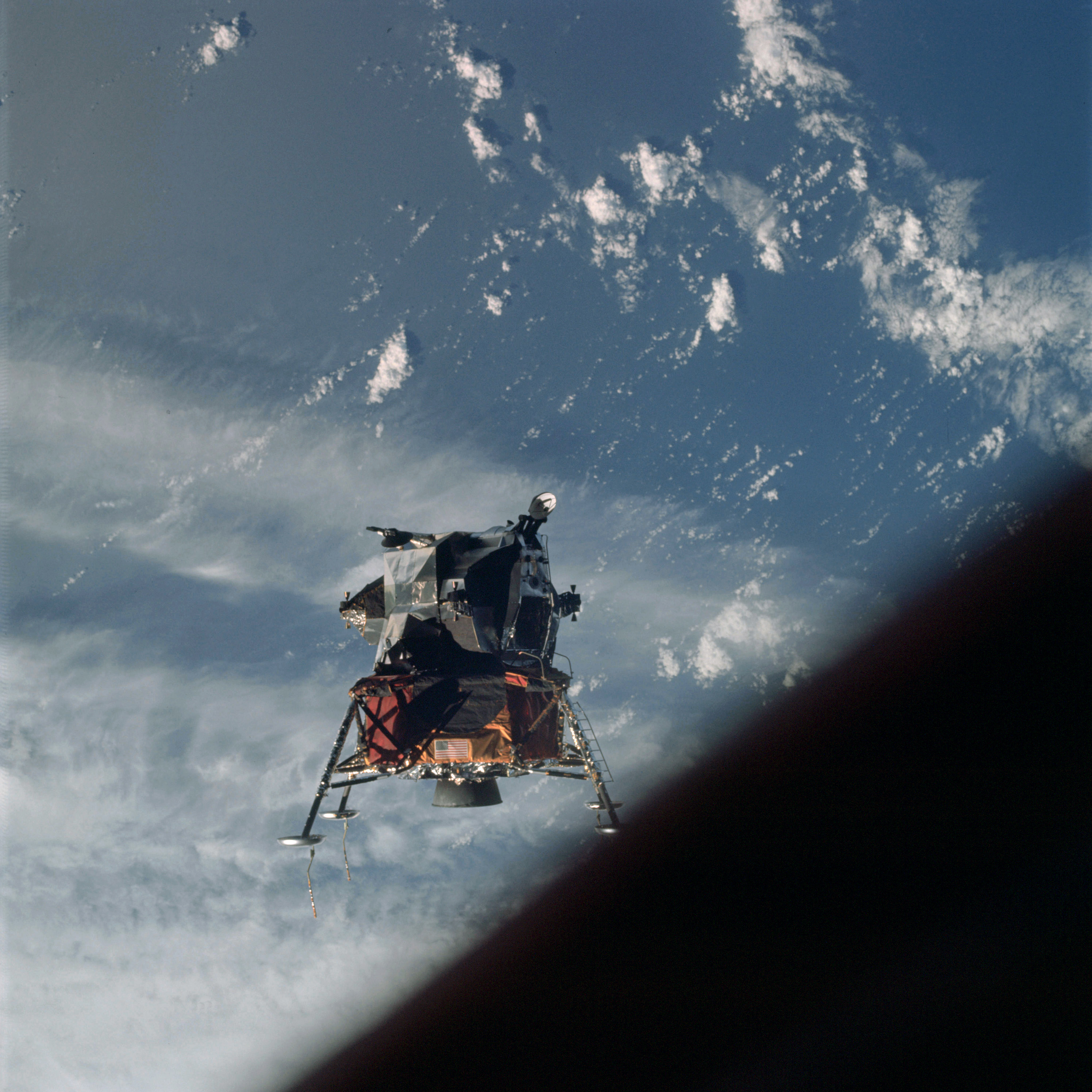 | AS09-21-3188 Lunar Module Image credit: Image Science and Analysis Laboratory, NASA-Johnson Space Center. |
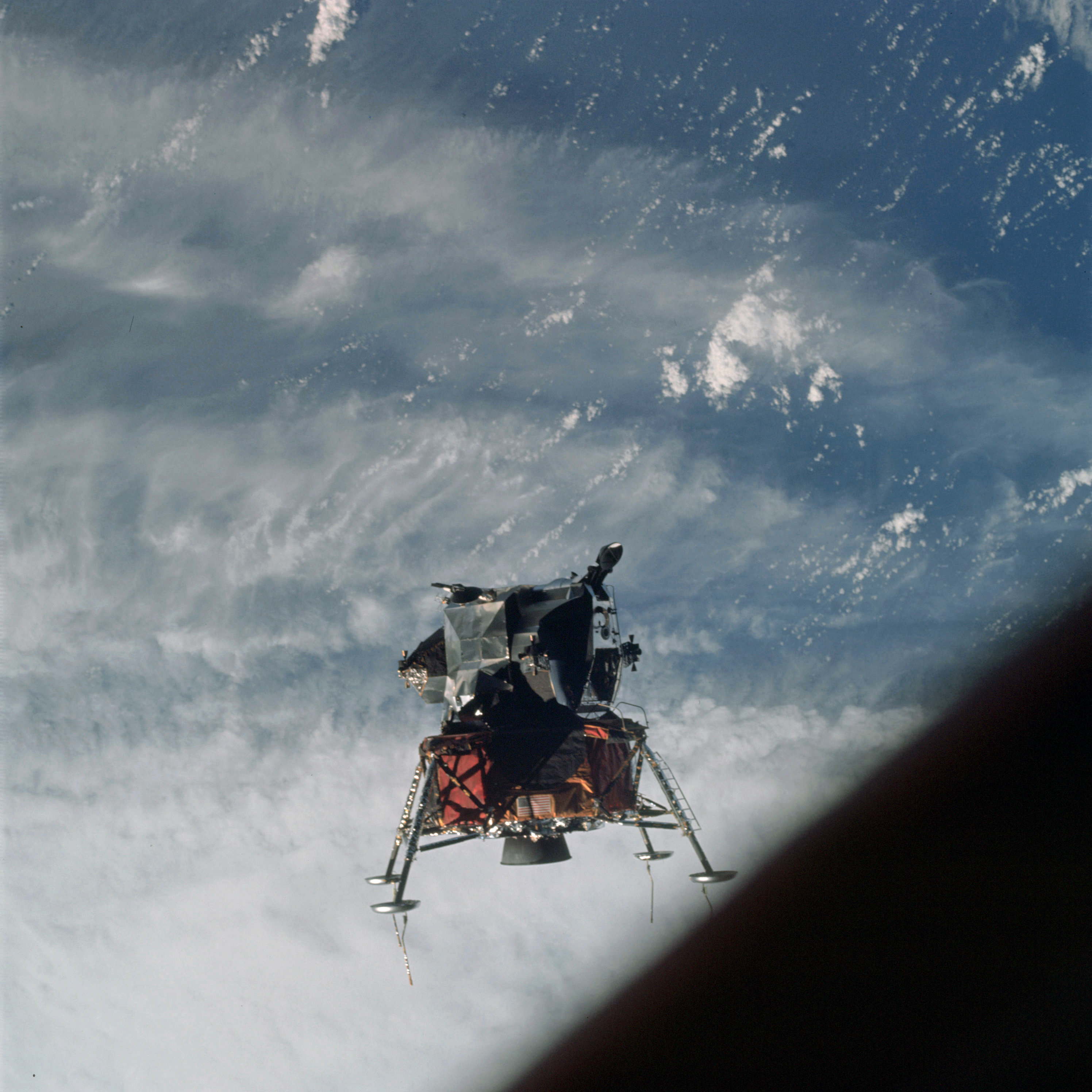 | AS09-21-3189 Lunar Module approaching a front Image credit: Image Science and Analysis Laboratory, NASA-Johnson Space Center. |
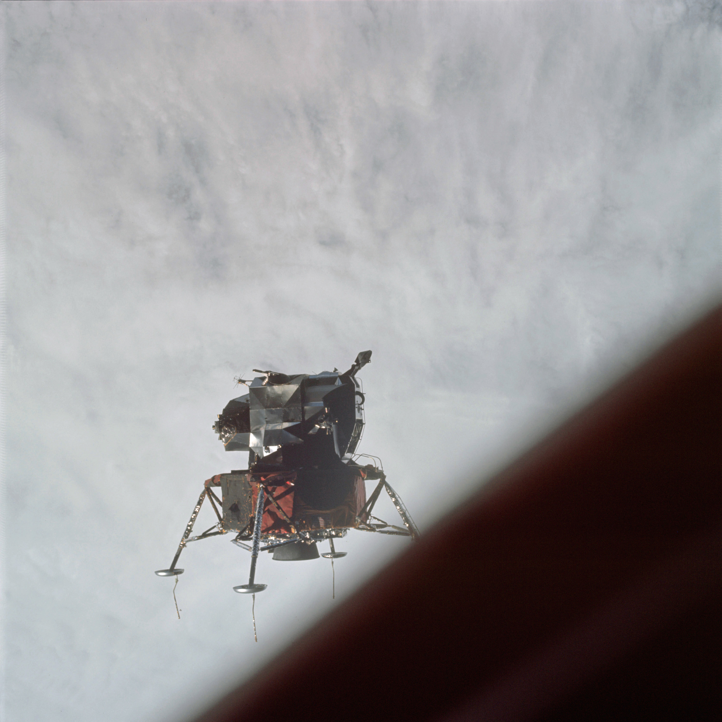 | AS09-21-3190 Lunar Module over a front Image credit: Image Science and Analysis Laboratory, NASA-Johnson Space Center. |
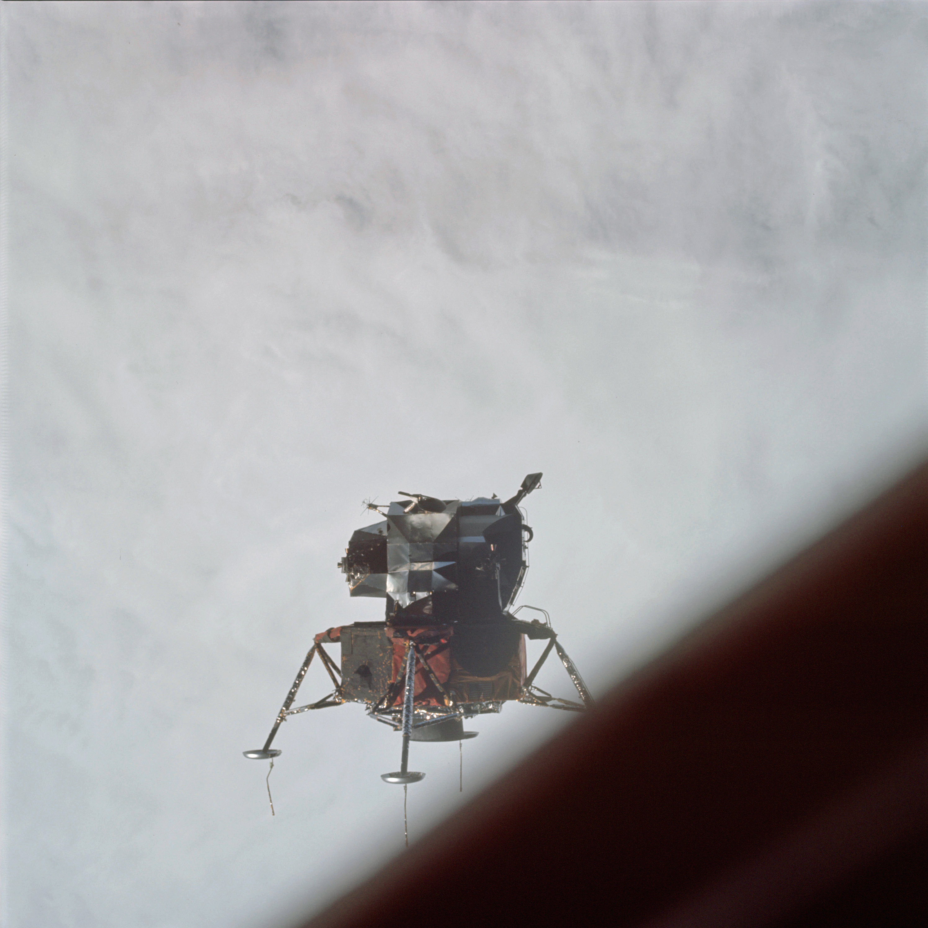 | AS09-21-3191 Lunar Module over a front Image credit: Image Science and Analysis Laboratory, NASA-Johnson Space Center. |
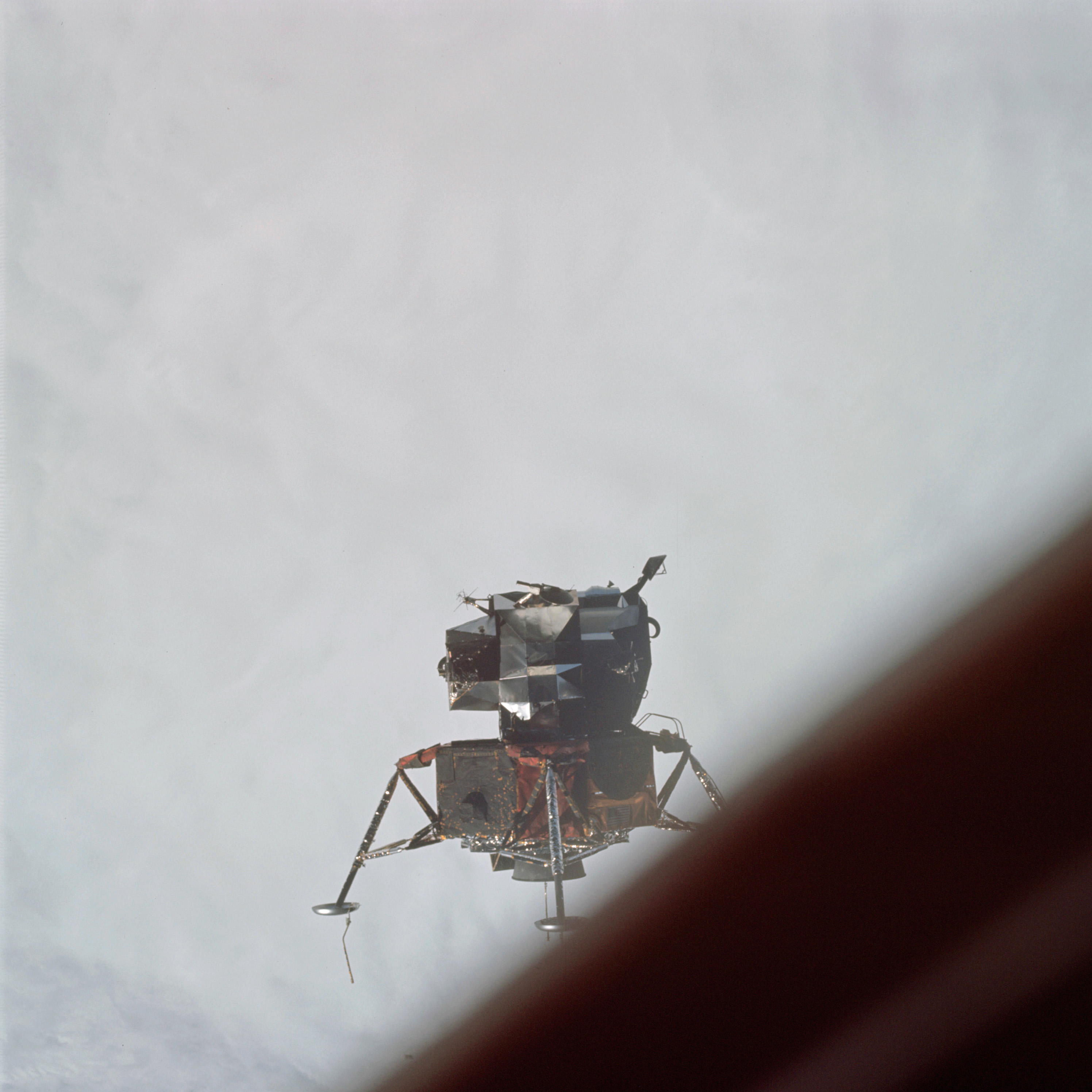 | AS09-21-3192 Lunar Module over a front Image credit: Image Science and Analysis Laboratory, NASA-Johnson Space Center. |
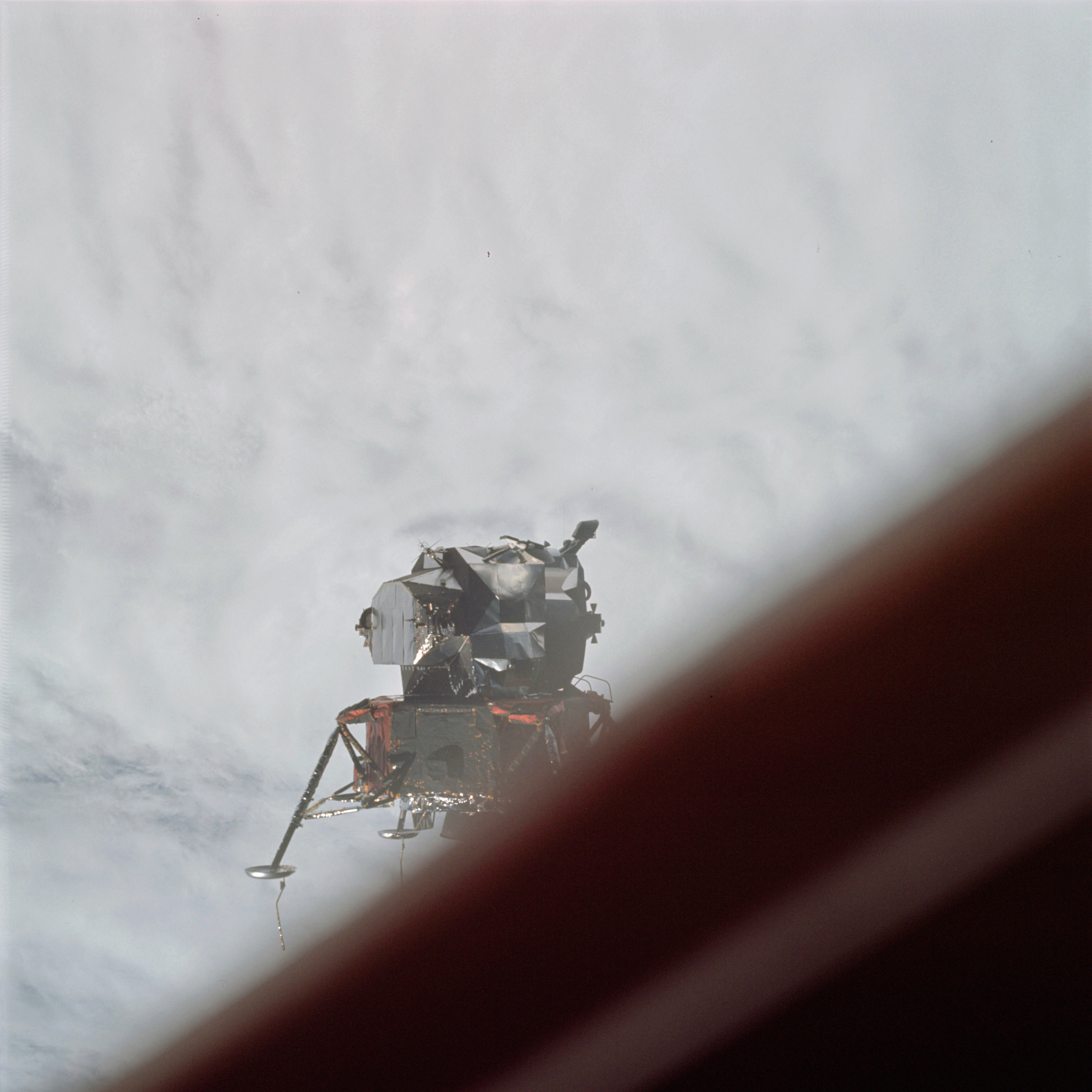 | AS09-21-3193 Lunar Module over a front Image credit: Image Science and Analysis Laboratory, NASA-Johnson Space Center. |
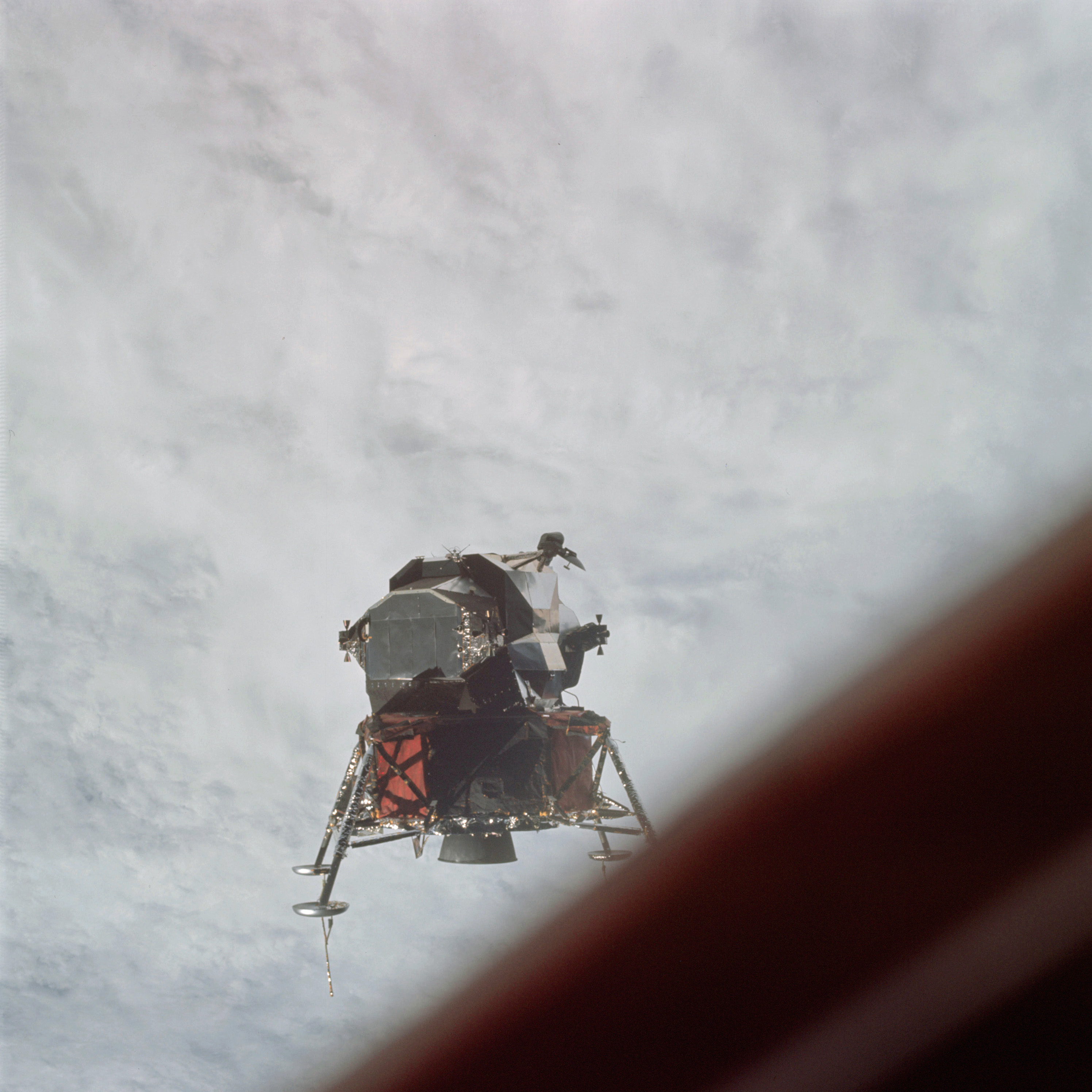 | AS09-21-3194 Lunar Module over a front Image credit: Image Science and Analysis Laboratory, NASA-Johnson Space Center. |
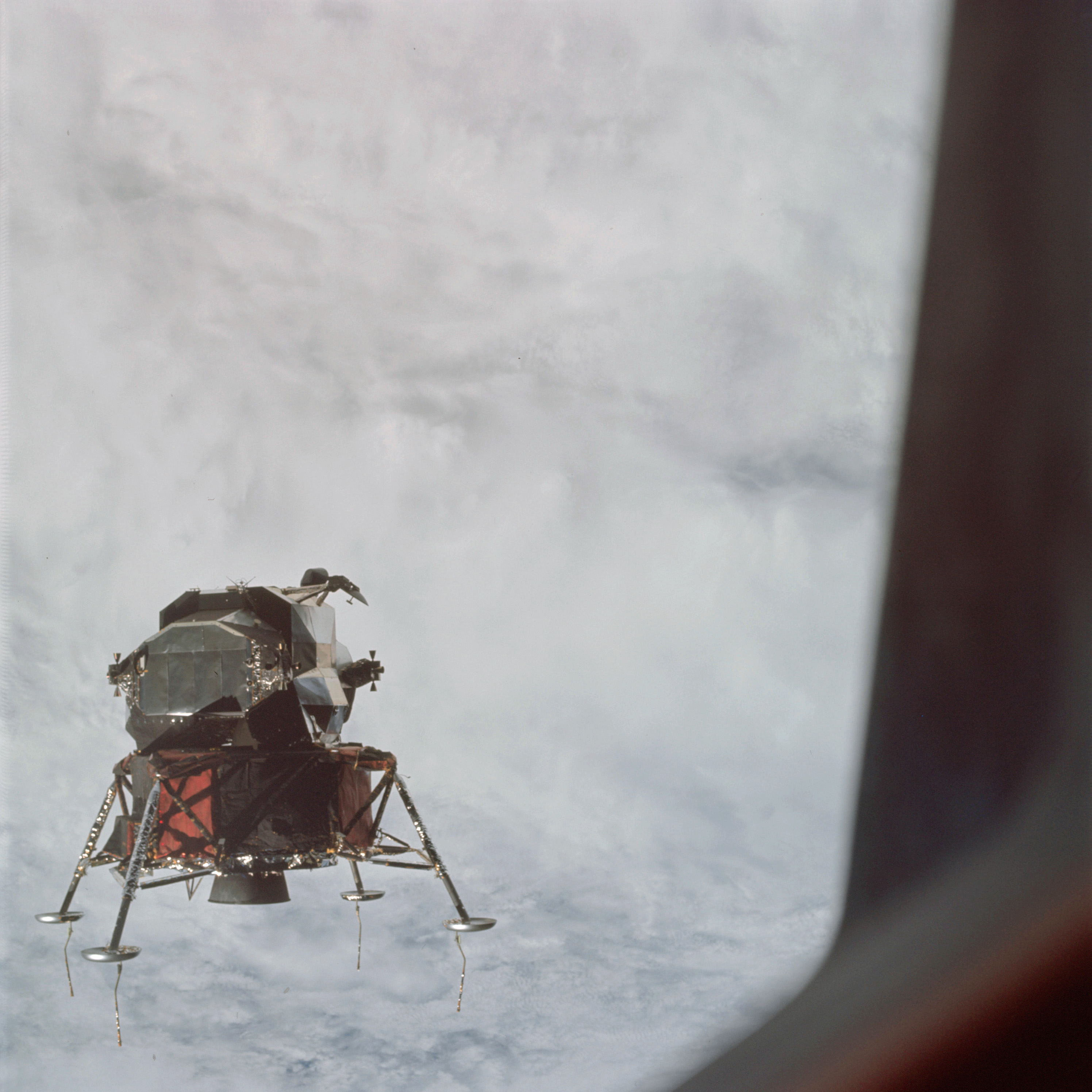 | AS09-21-3195 Lunar Module over a front Image credit: Image Science and Analysis Laboratory, NASA-Johnson Space Center. |
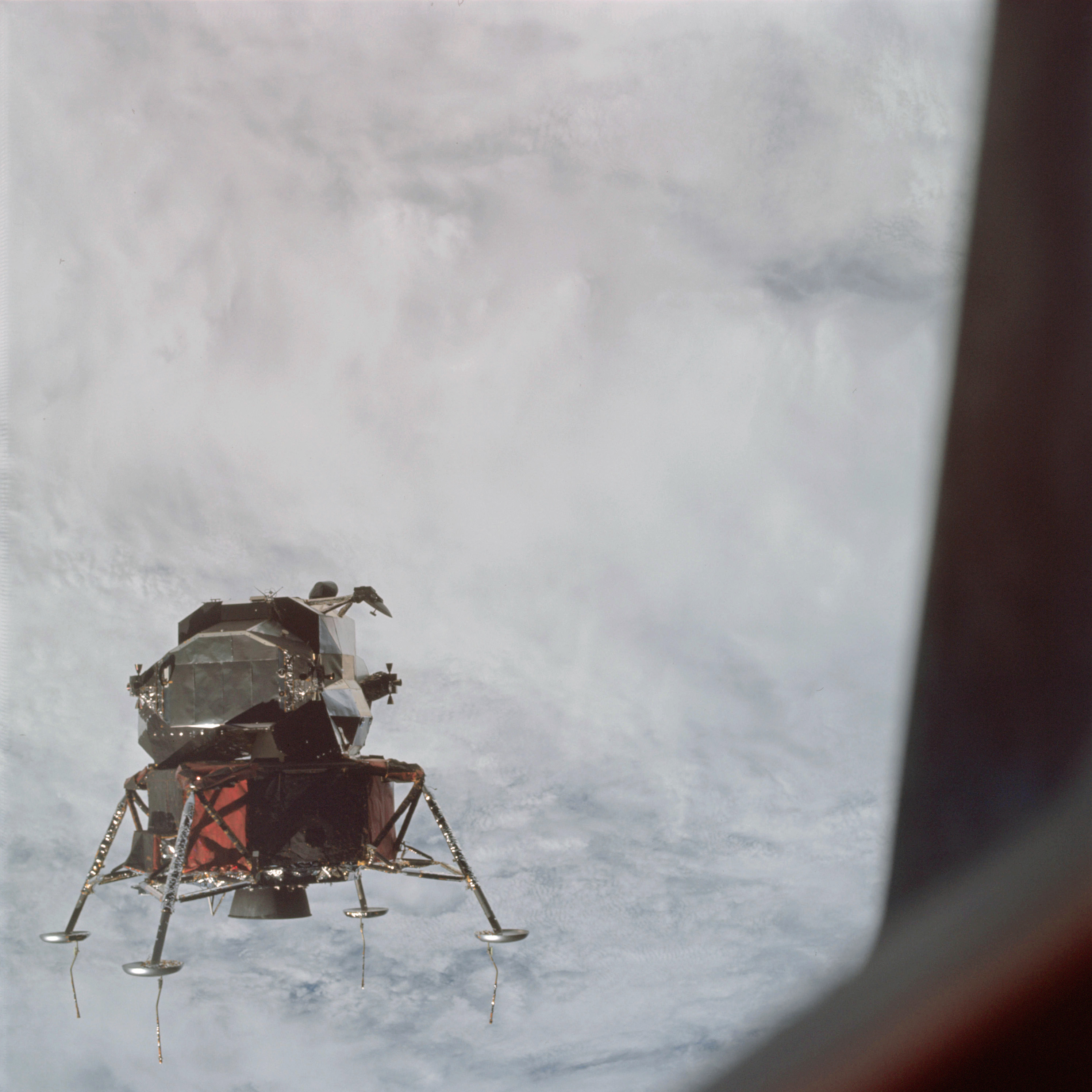 | AS09-21-3196 Lunar Module over a front Image credit: Image Science and Analysis Laboratory, NASA-Johnson Space Center. |
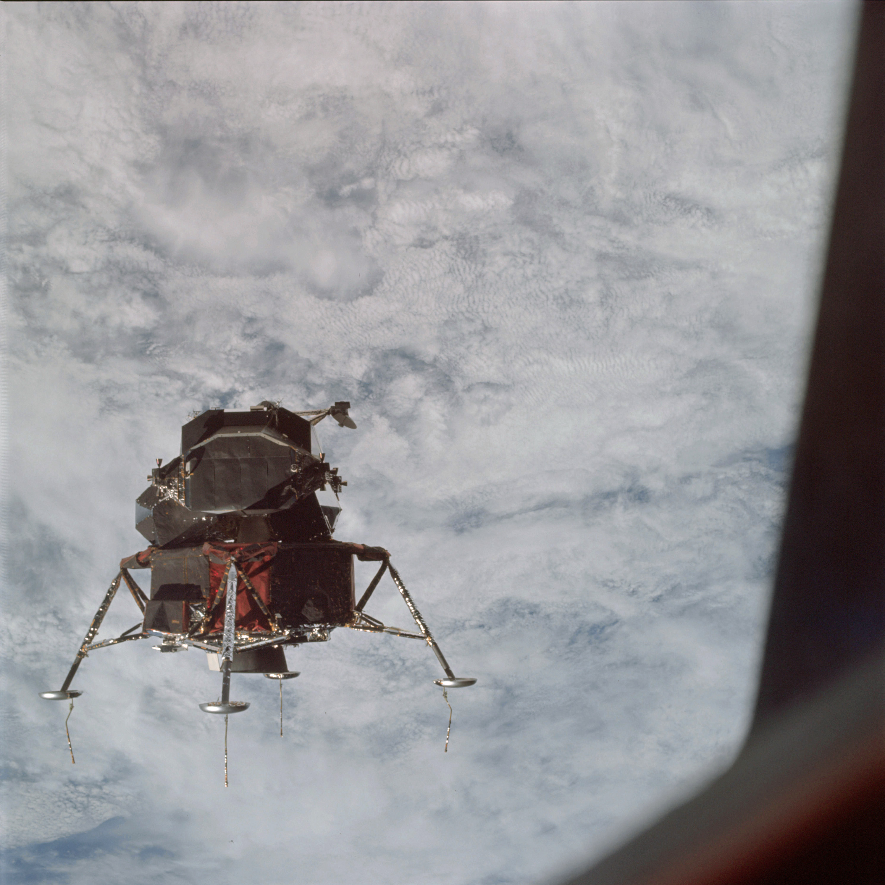 | AS09-21-3197 Lunar Module over a front Image credit: Image Science and Analysis Laboratory, NASA-Johnson Space Center. |
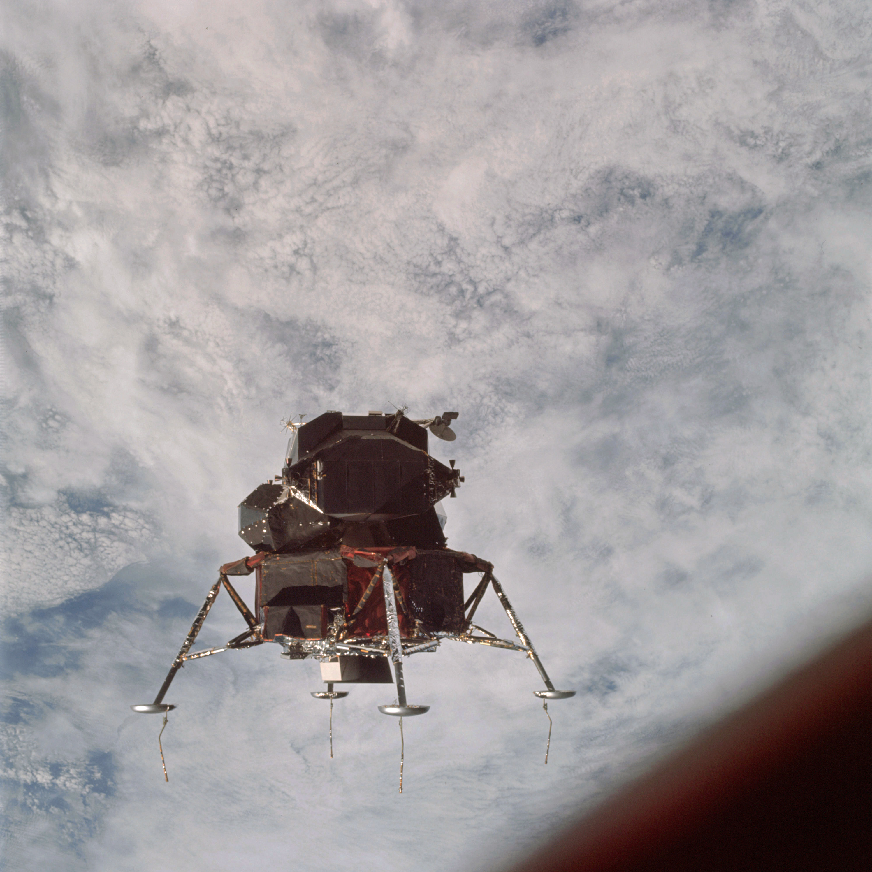 | AS09-21-3198 Lunar Module over a front Image credit: Image Science and Analysis Laboratory, NASA-Johnson Space Center. |
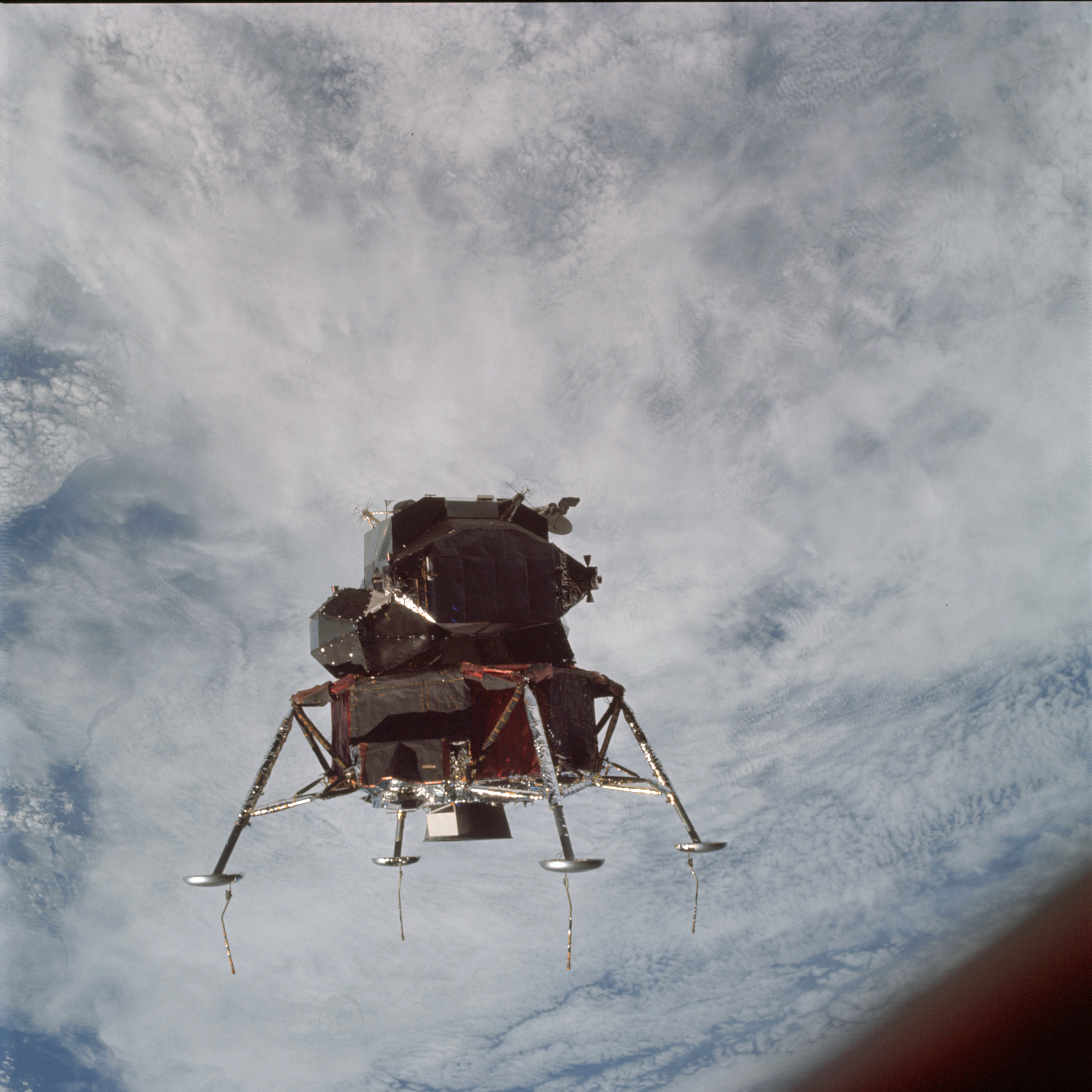 | AS09-21-3199 Lunar Module over a front Image credit: Image Science and Analysis Laboratory, NASA-Johnson Space Center. |
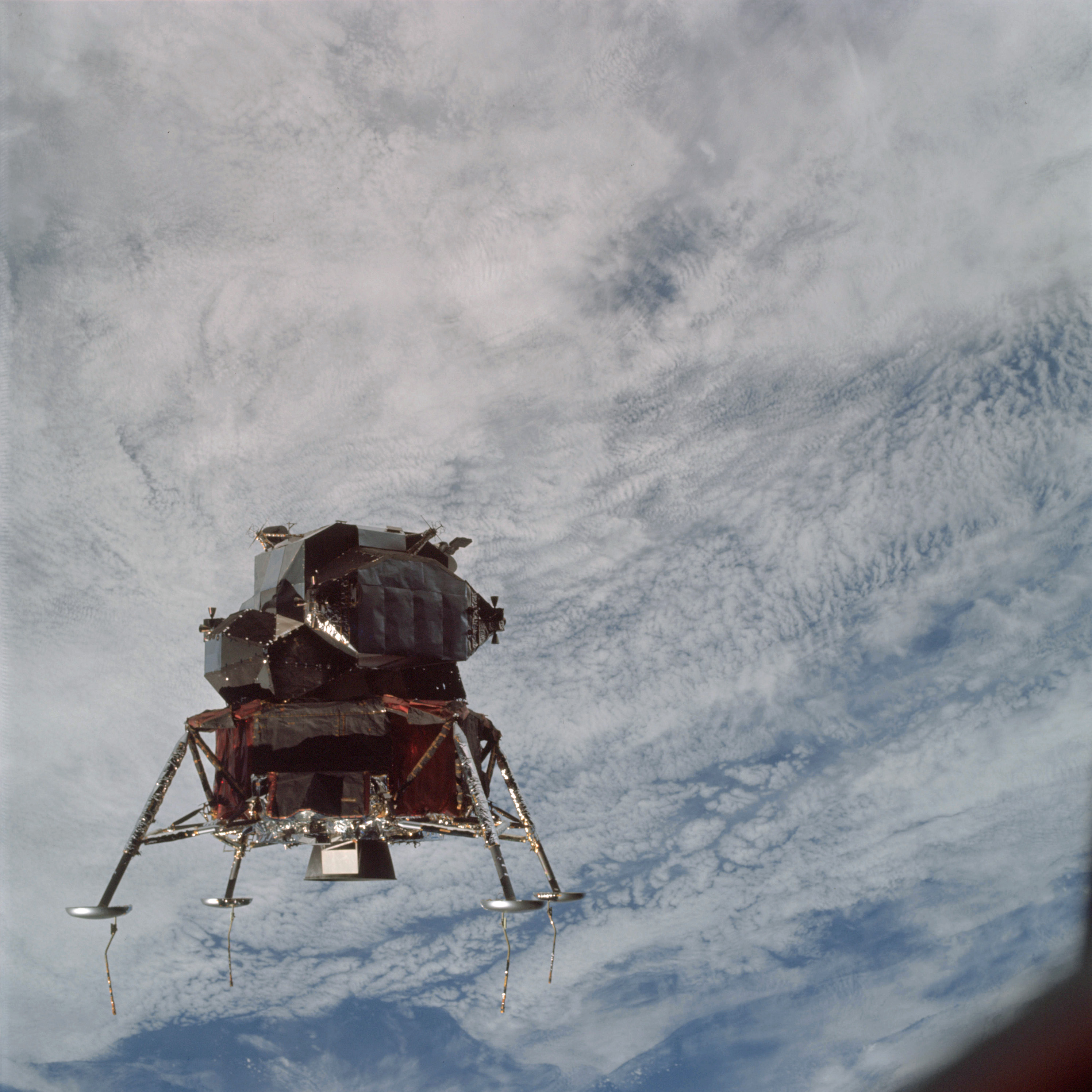 | AS09-21-3200 Lunar Module over a front Image credit: Image Science and Analysis Laboratory, NASA-Johnson Space Center. |
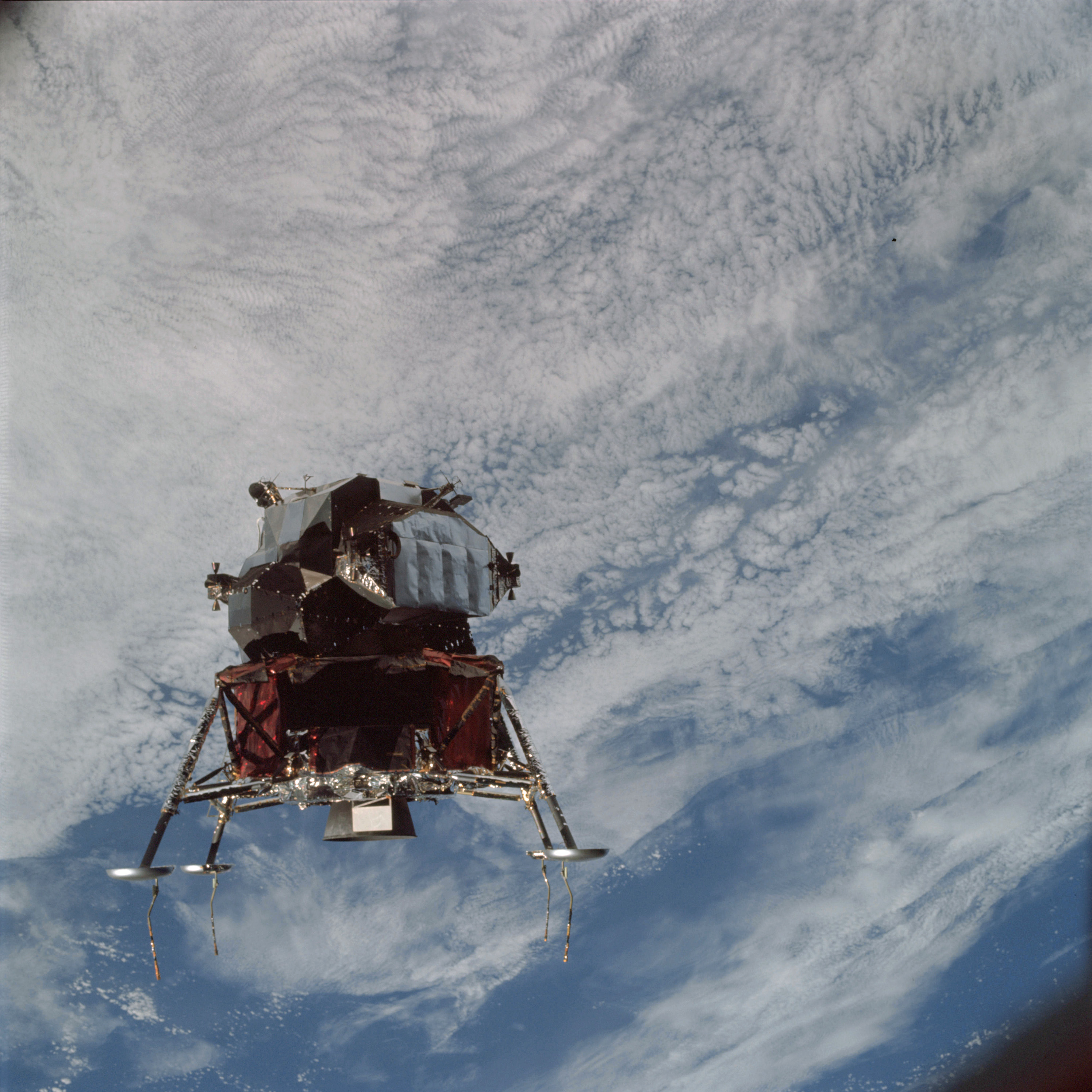 | AS09-21-3201 Lunar Module over a front Image credit: Image Science and Analysis Laboratory, NASA-Johnson Space Center. |
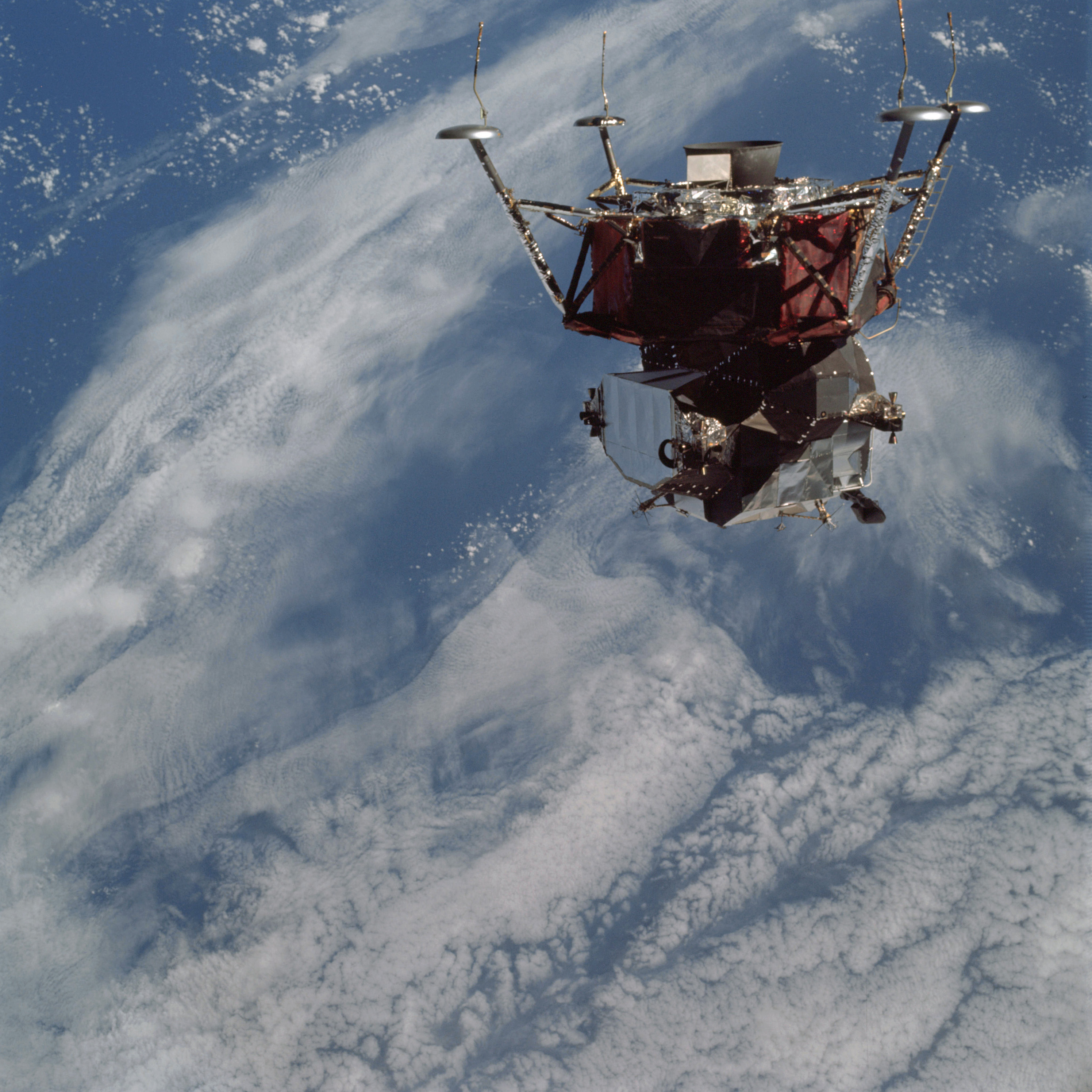 | AS09-21-3202 Lunar Module over a front Image credit: Image Science and Analysis Laboratory, NASA-Johnson Space Center. |
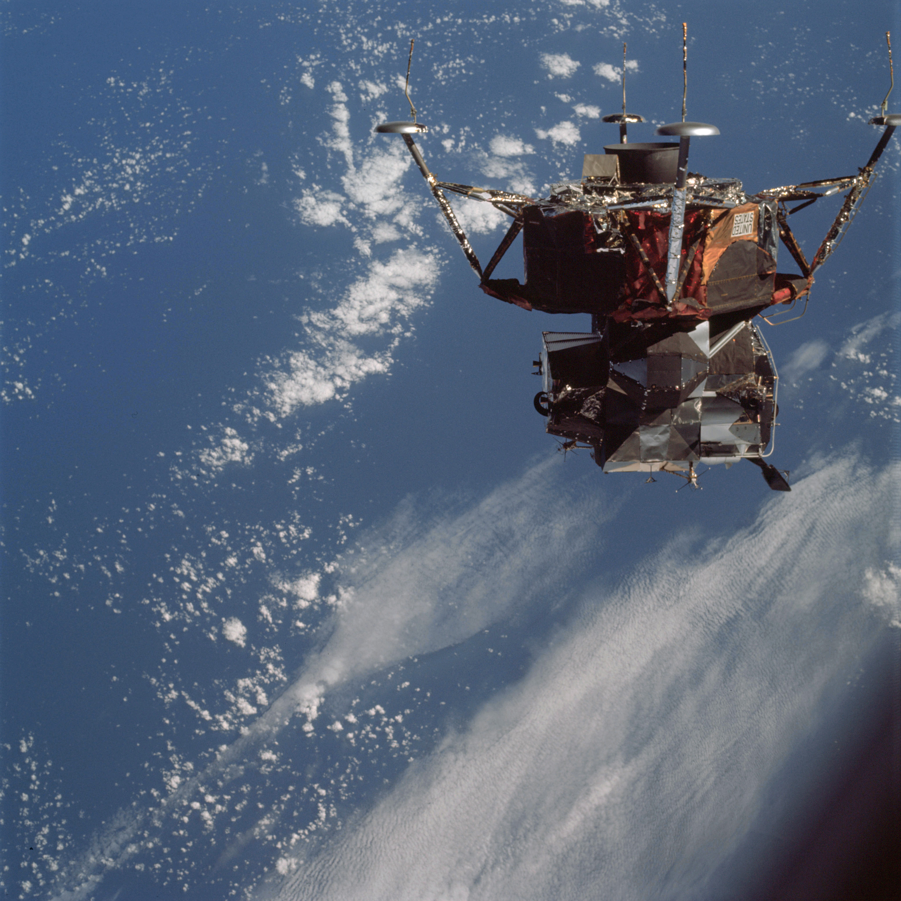 | AS09-21-3203 Lunar Module over a front Image credit: Image Science and Analysis Laboratory, NASA-Johnson Space Center. |
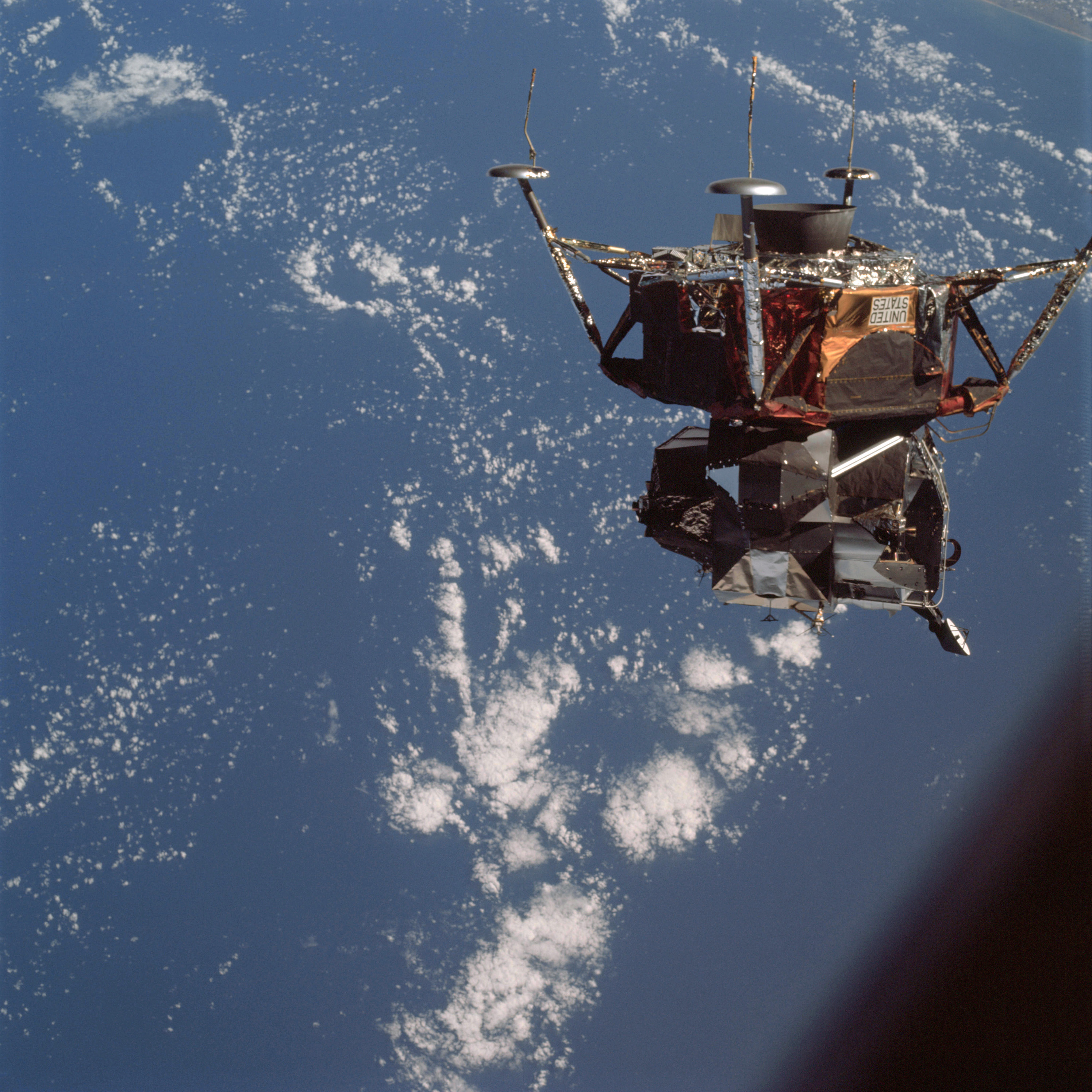 | AS09-21-3204 Lunar Module Image credit: Image Science and Analysis Laboratory, NASA-Johnson Space Center. |
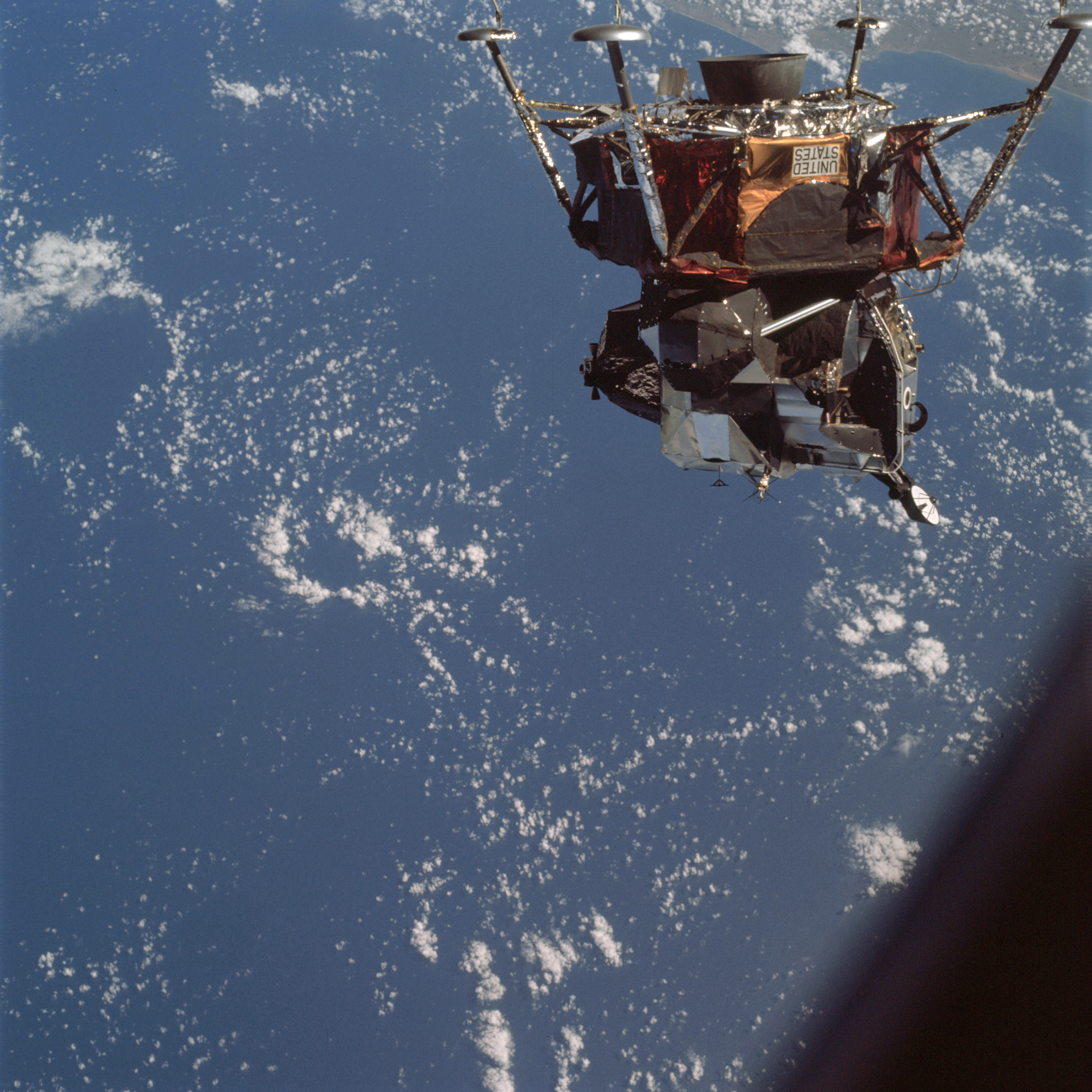 | AS09-21-3205 Lunar Module Image credit: Image Science and Analysis Laboratory, NASA-Johnson Space Center. |
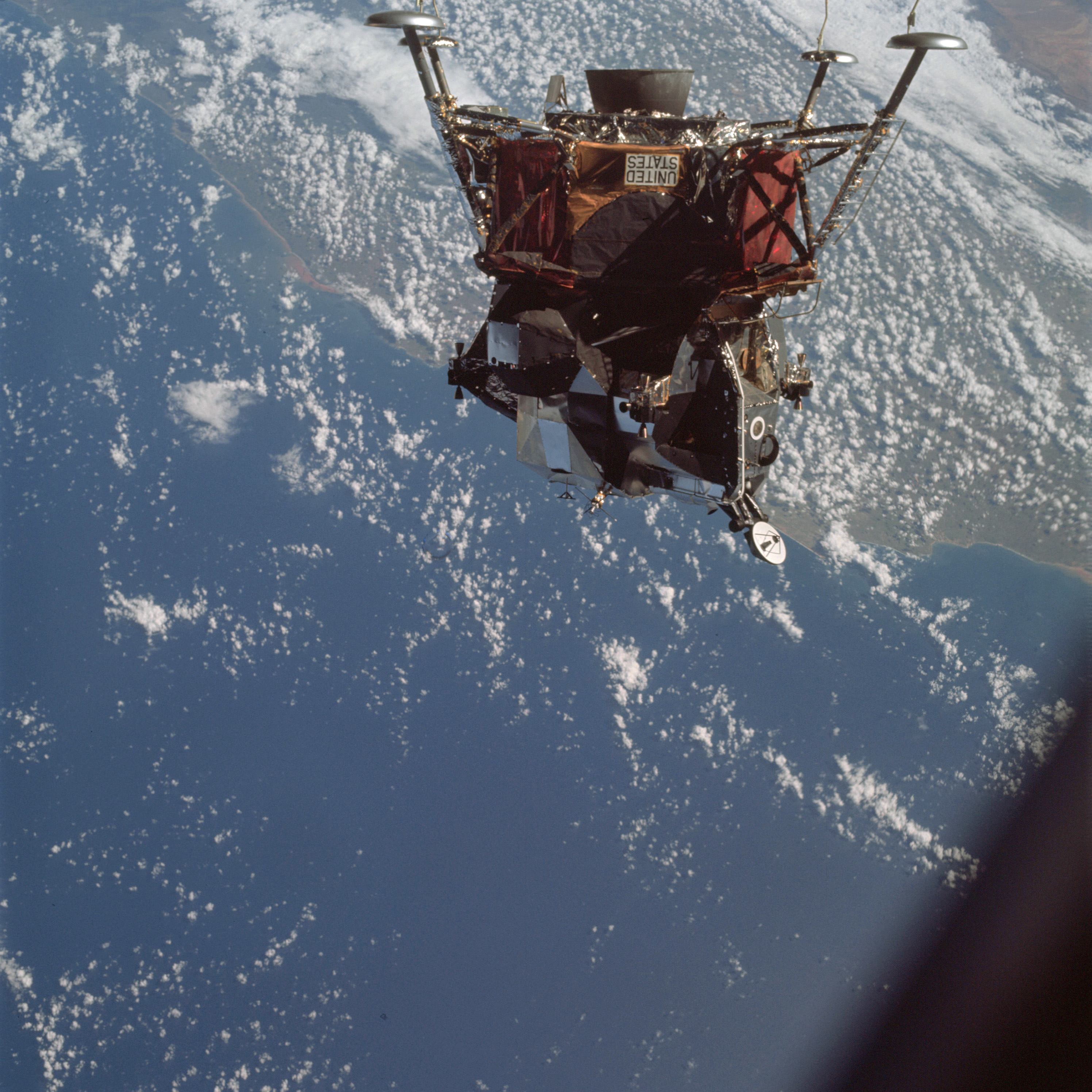 | AS09-21-3206 Lunar Module Image credit: Image Science and Analysis Laboratory, NASA-Johnson Space Center. |
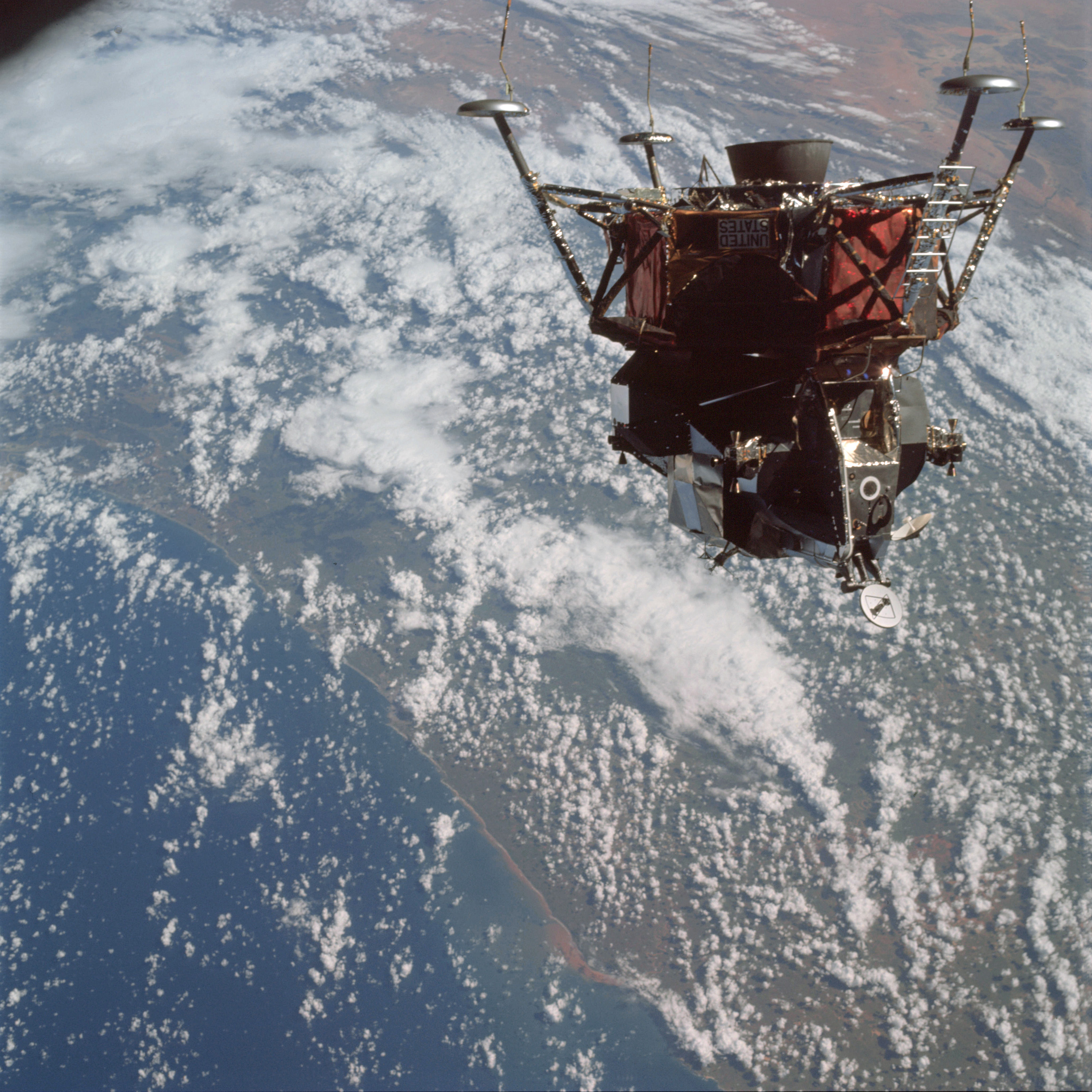 | AS09-21-3207 Lunar Module, clouds Image credit: Image Science and Analysis Laboratory, NASA-Johnson Space Center. |
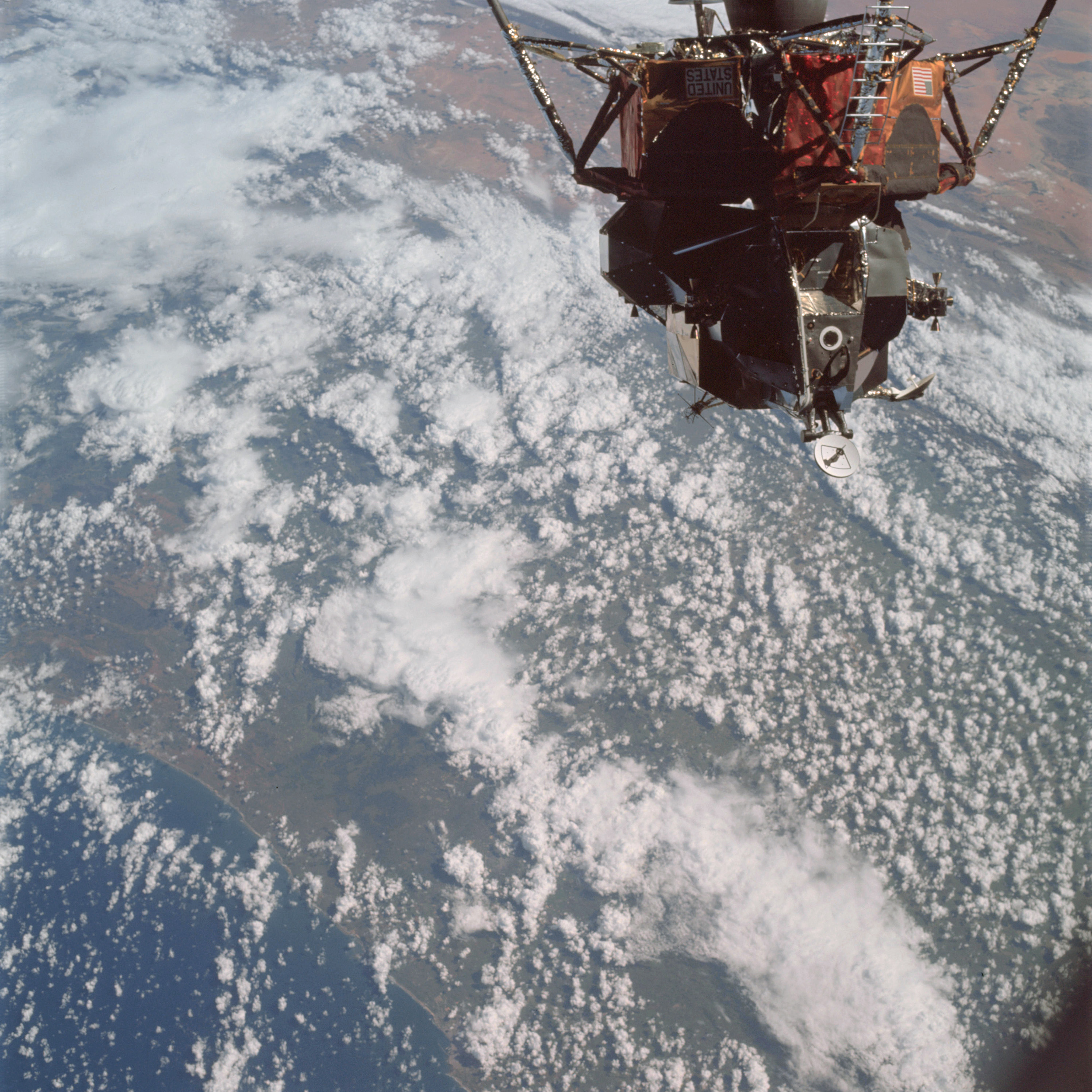 | AS09-21-3208 Lunar Module, clouds Image credit: Image Science and Analysis Laboratory, NASA-Johnson Space Center. |
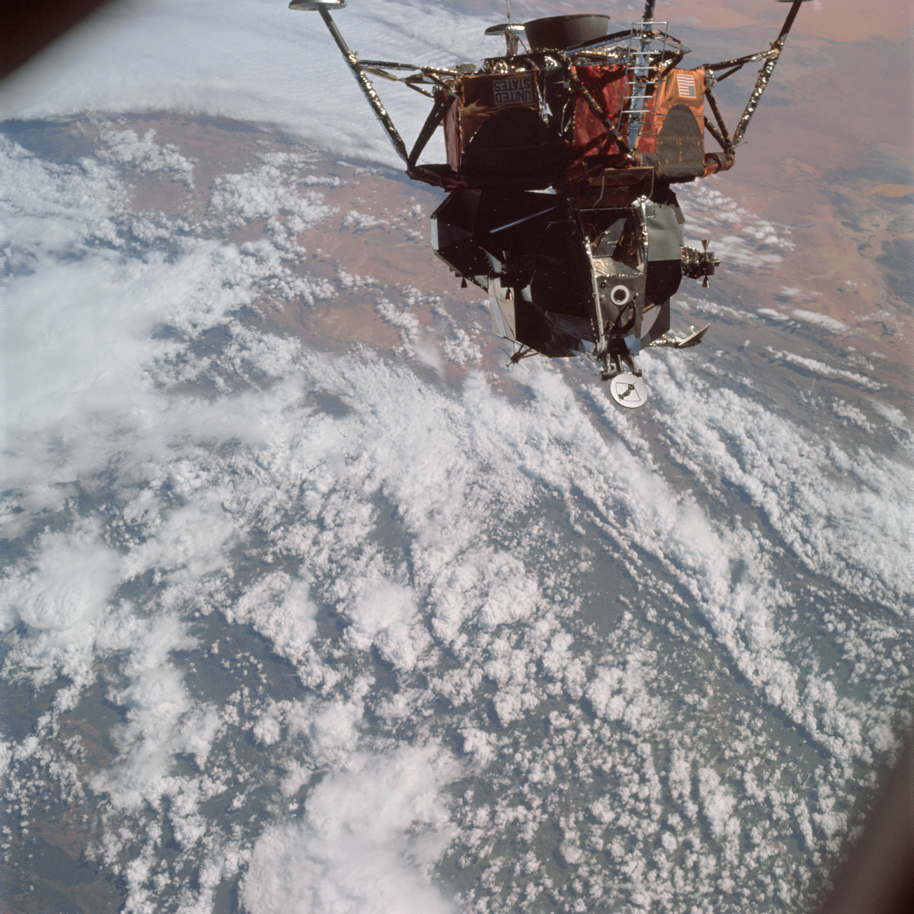 | AS09-21-3209 Lunar Module, clouds Image credit: Image Science and Analysis Laboratory, NASA-Johnson Space Center. |
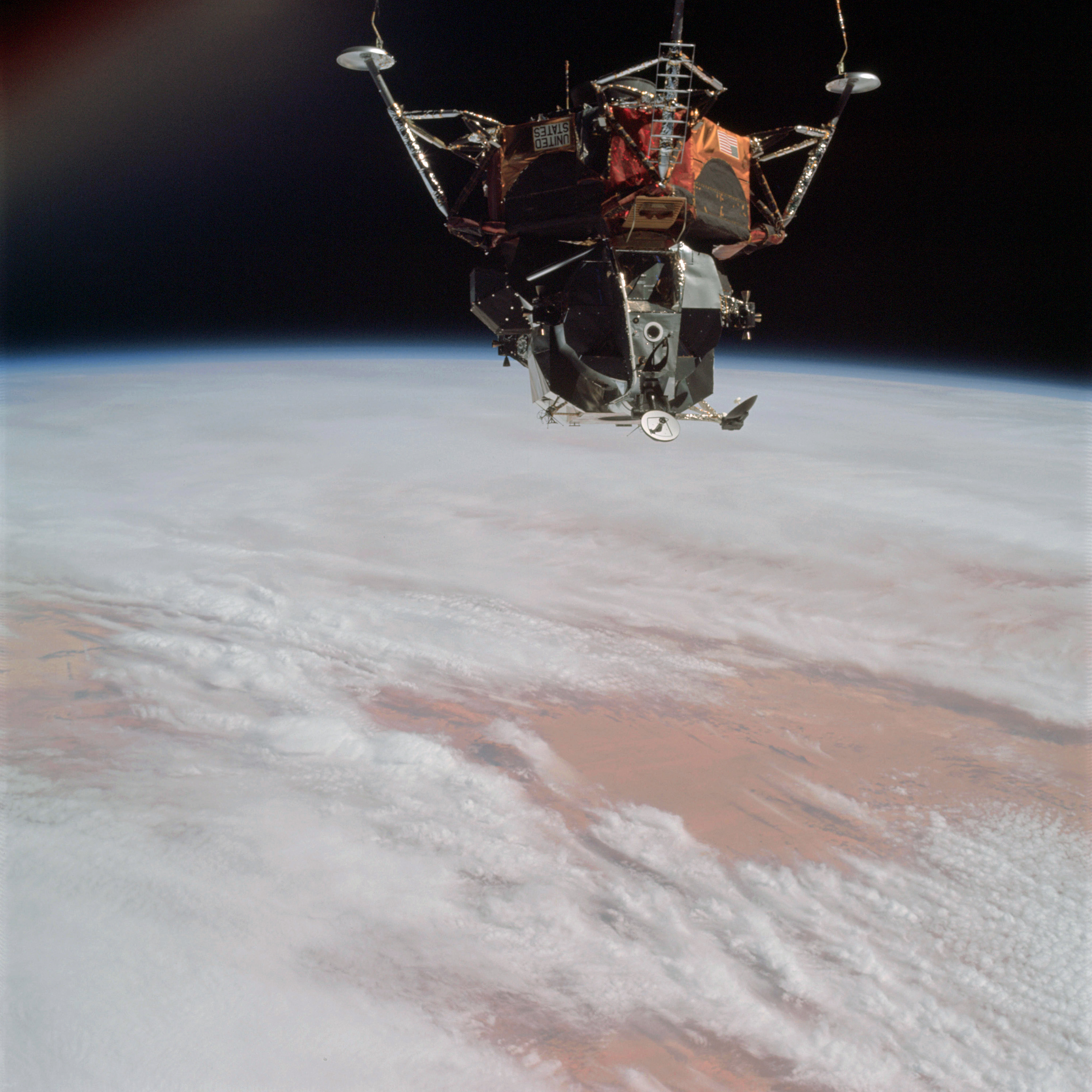 | AS09-21-3210 Lunar Module, clouds Image credit: Image Science and Analysis Laboratory, NASA-Johnson Space Center. |
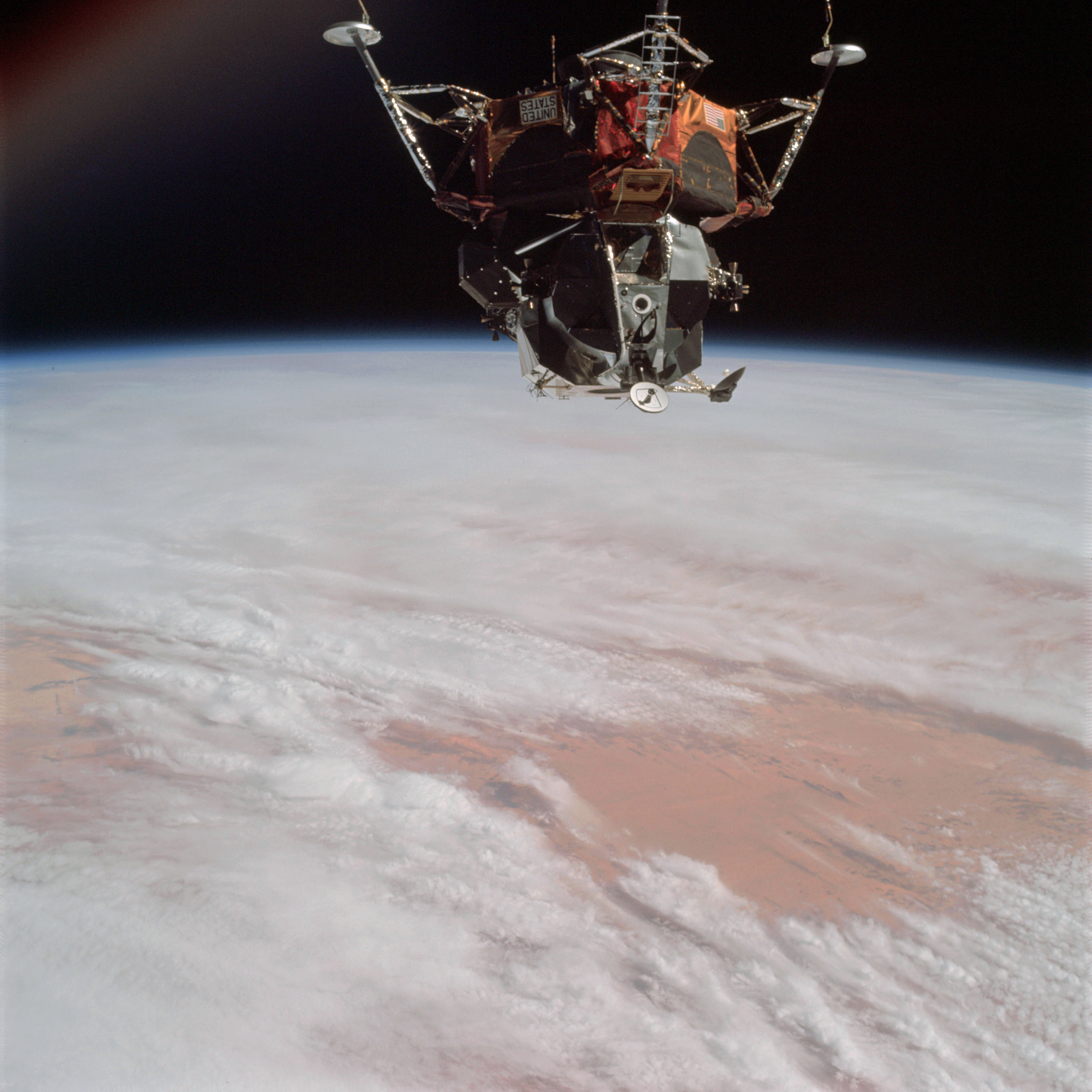 | AS09-21-3211 Lunar Module, clouds Image credit: Image Science and Analysis Laboratory, NASA-Johnson Space Center. |
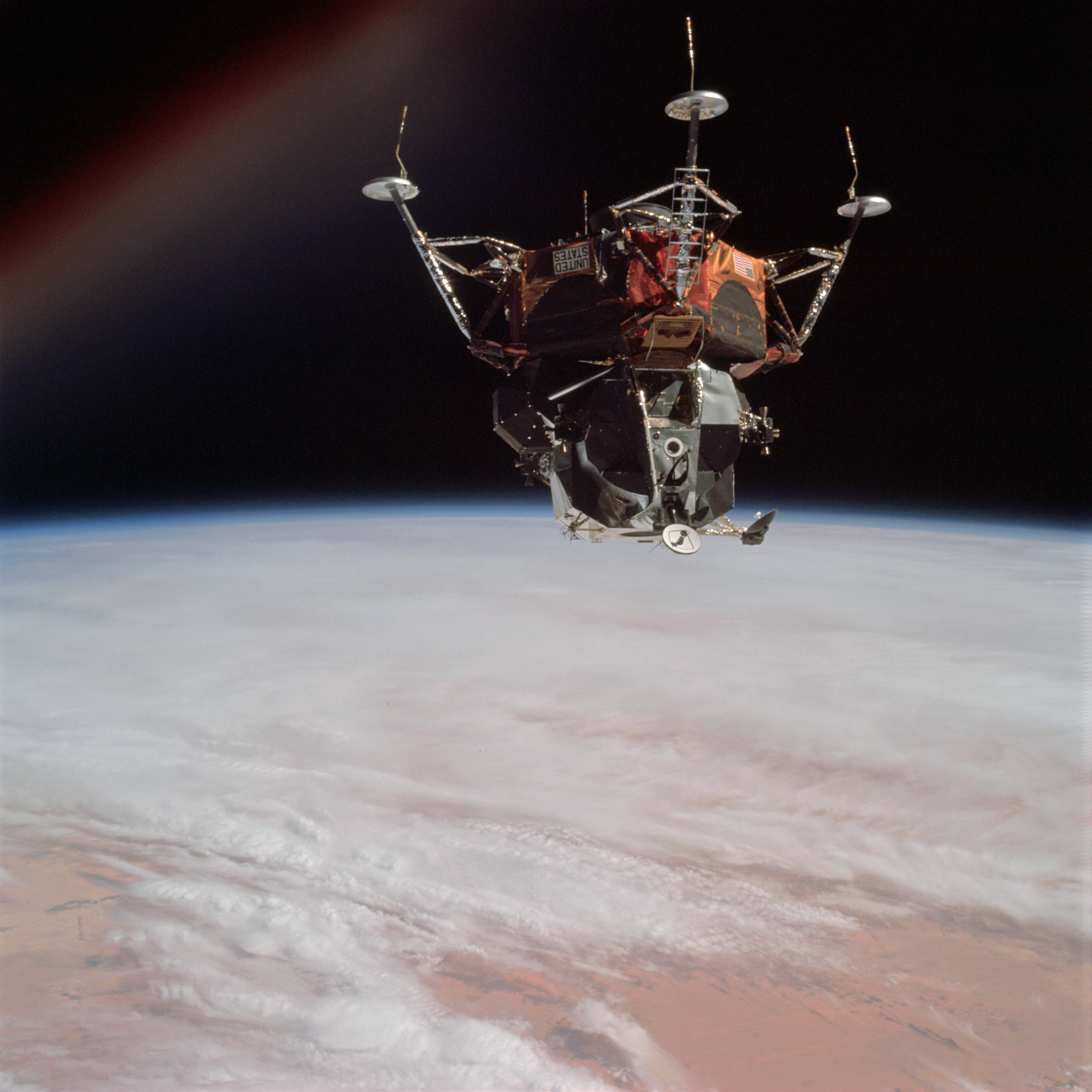 | AS09-21-3212 Lunar Module, clouds Image credit: Image Science and Analysis Laboratory, NASA-Johnson Space Center. |
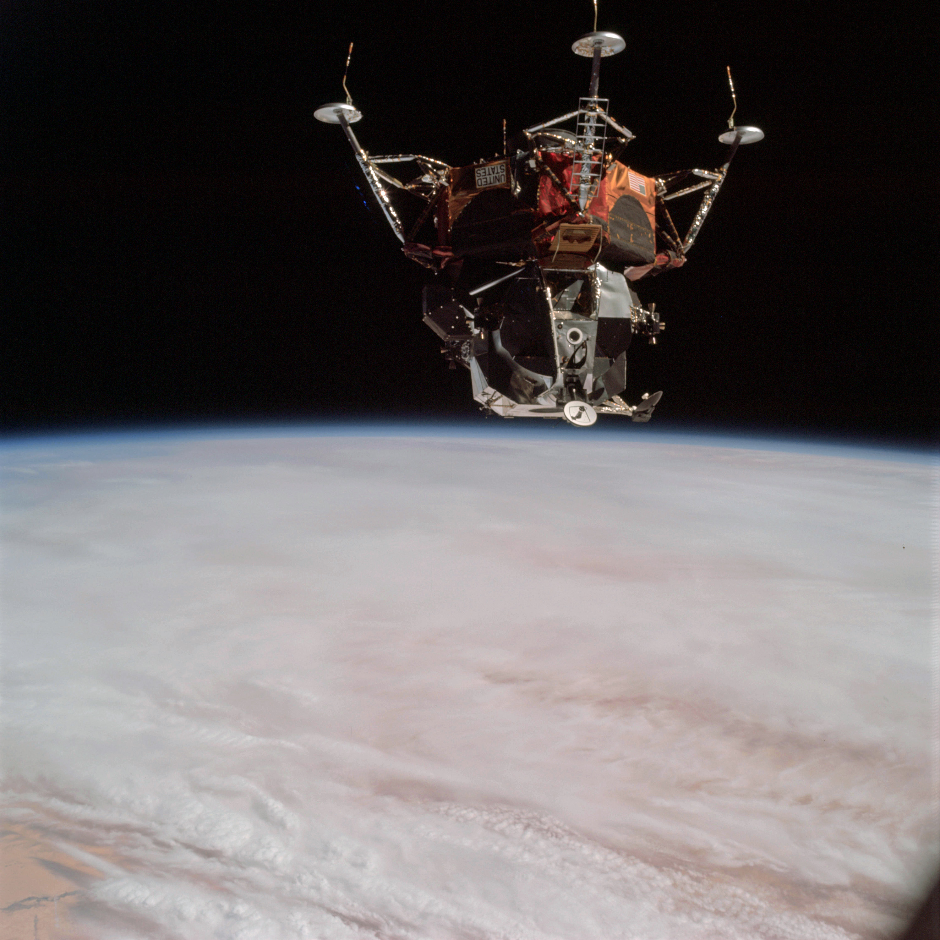 | AS09-21-3213 Lunar Module, clouds Image credit: Image Science and Analysis Laboratory, NASA-Johnson Space Center. |
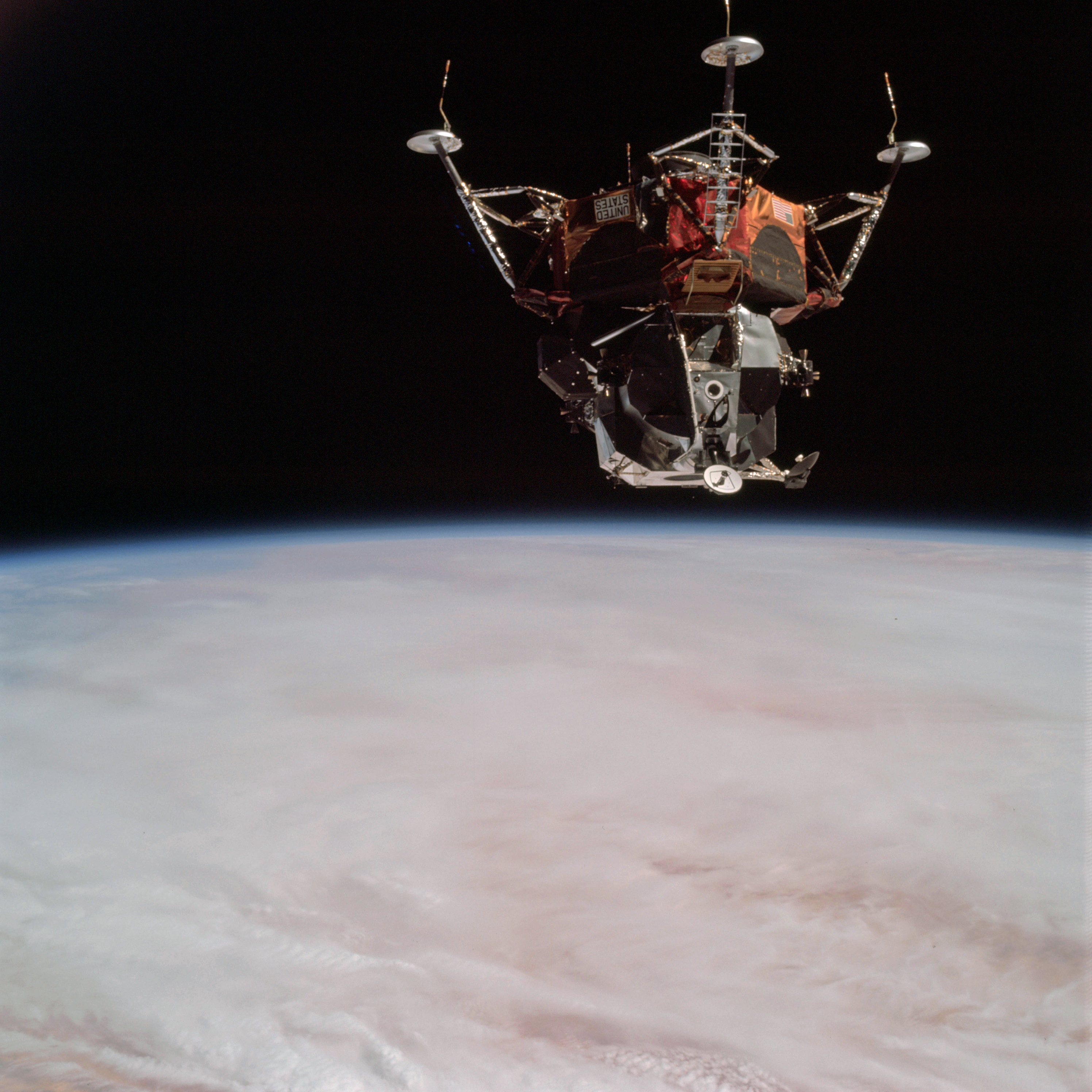 | AS09-21-3214 Lunar Module, clouds Image credit: Image Science and Analysis Laboratory, NASA-Johnson Space Center. |
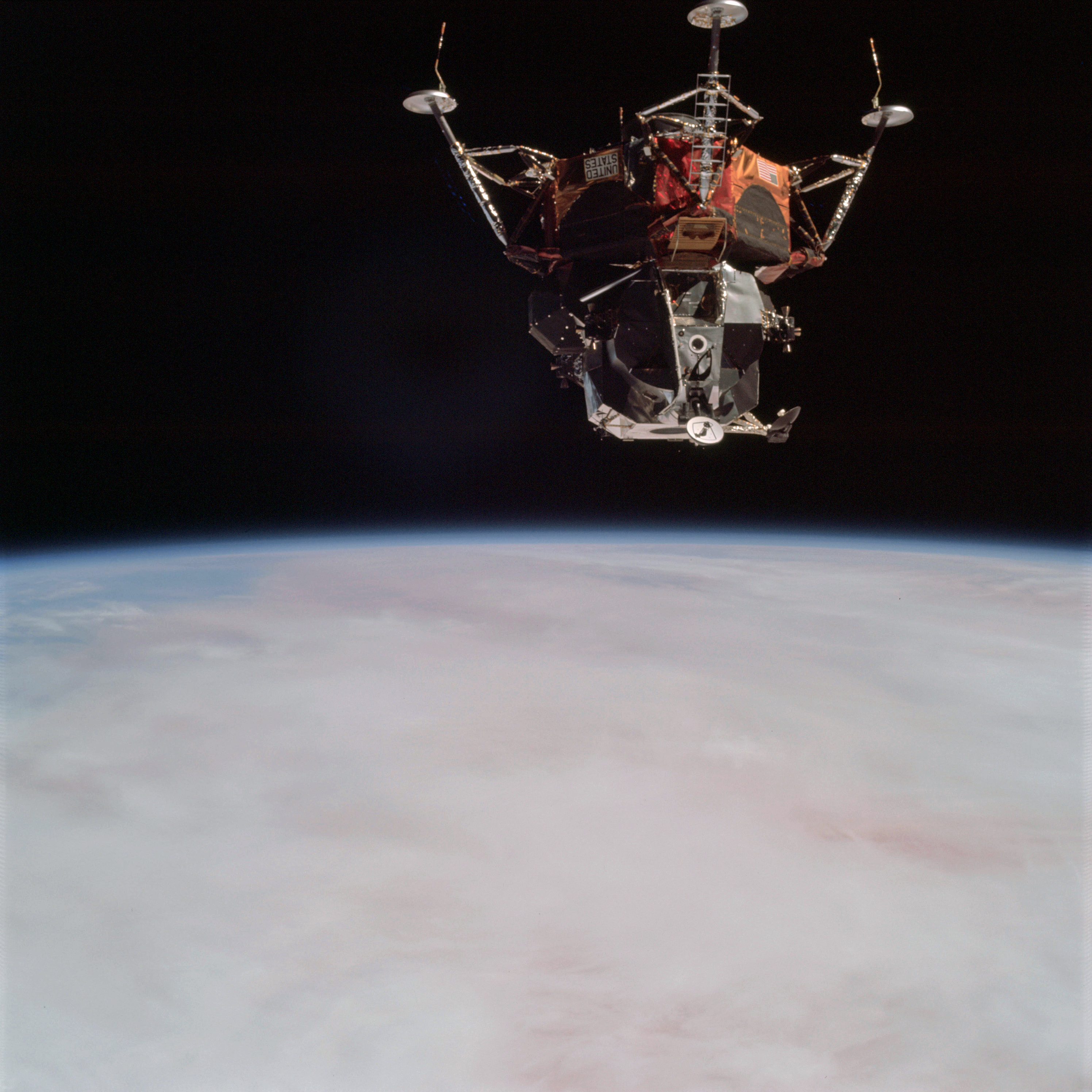 | AS09-21-3215 Lunar Module, clouds Image credit: Image Science and Analysis Laboratory, NASA-Johnson Space Center. |
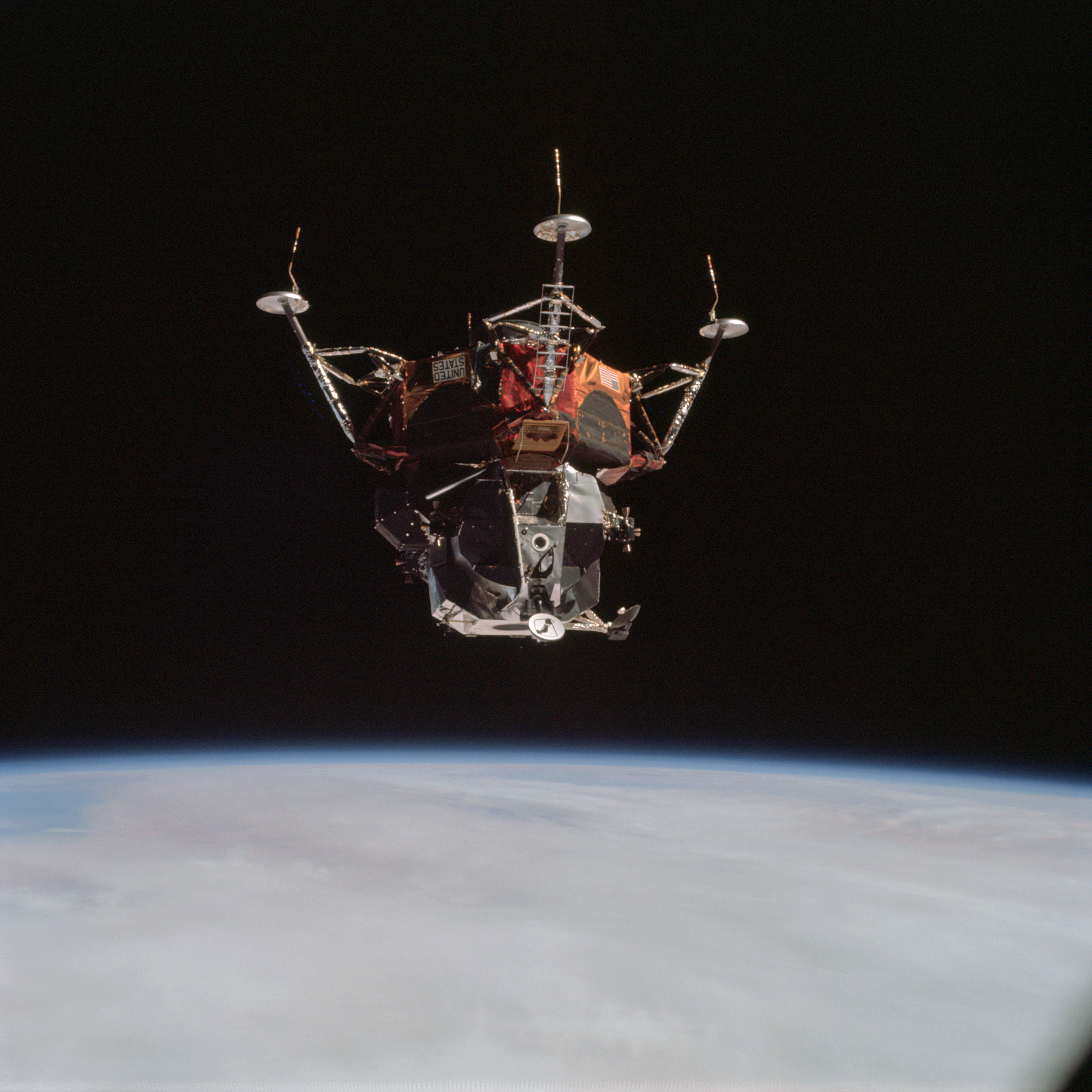 | AS09-21-3216 Lunar Module, clouds Image credit: Image Science and Analysis Laboratory, NASA-Johnson Space Center. |
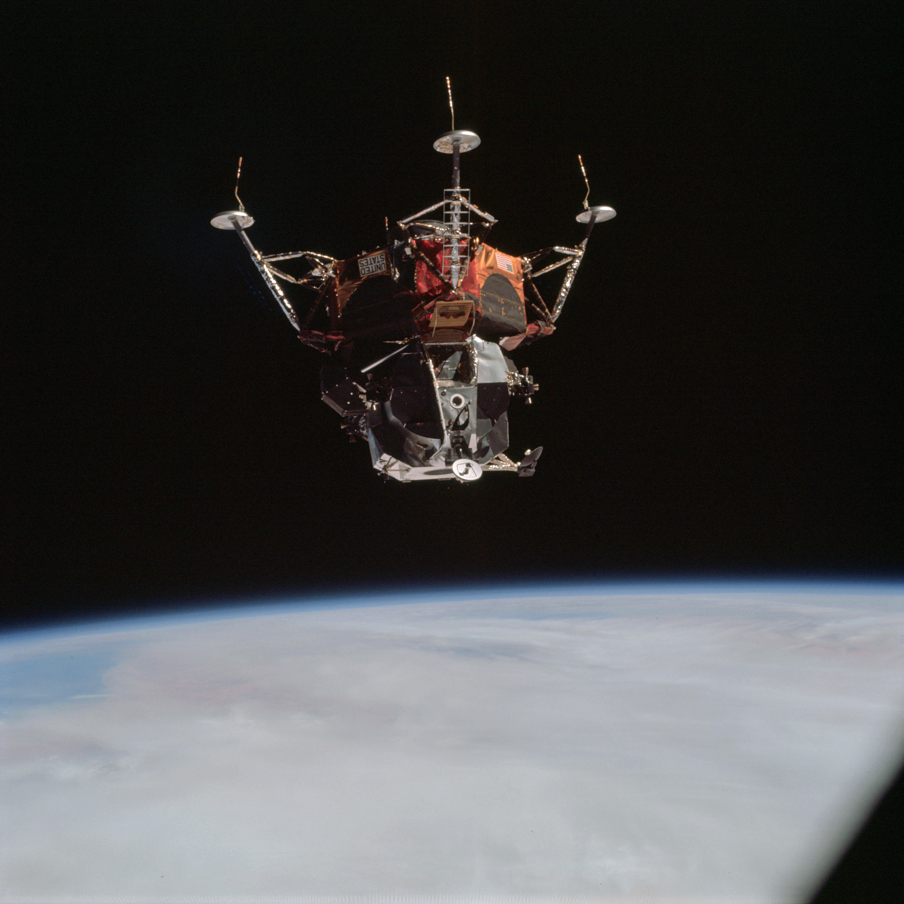 | AS09-21-3217 Lunar Module, clouds Image credit: Image Science and Analysis Laboratory, NASA-Johnson Space Center. |
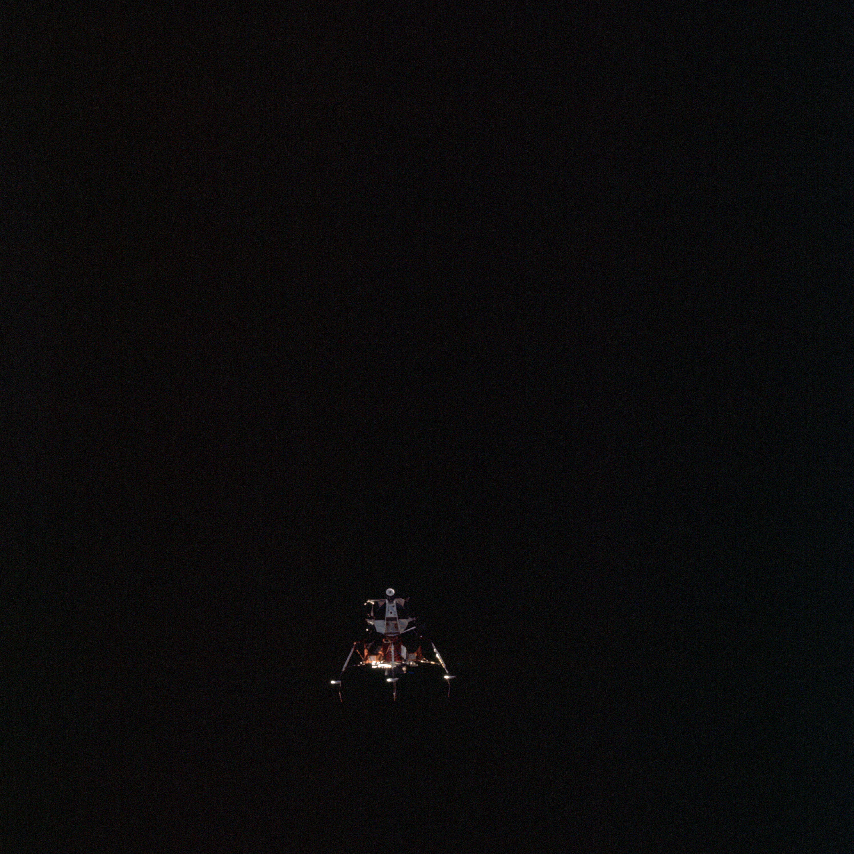 | AS09-21-3218 Lunar Module Image credit: Image Science and Analysis Laboratory, NASA-Johnson Space Center. |
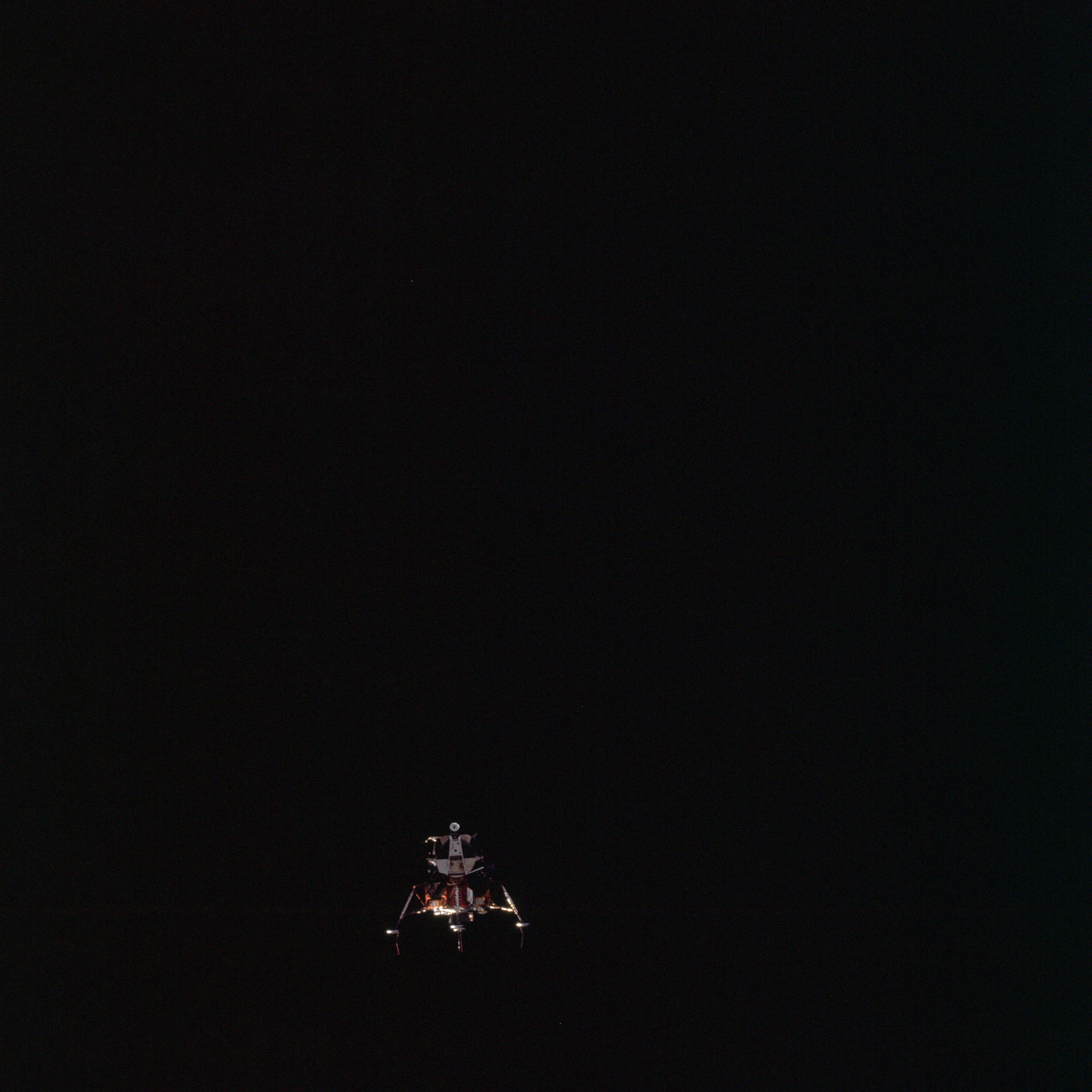 | AS09-21-3219 Lunar Module Image credit: Image Science and Analysis Laboratory, NASA-Johnson Space Center. |
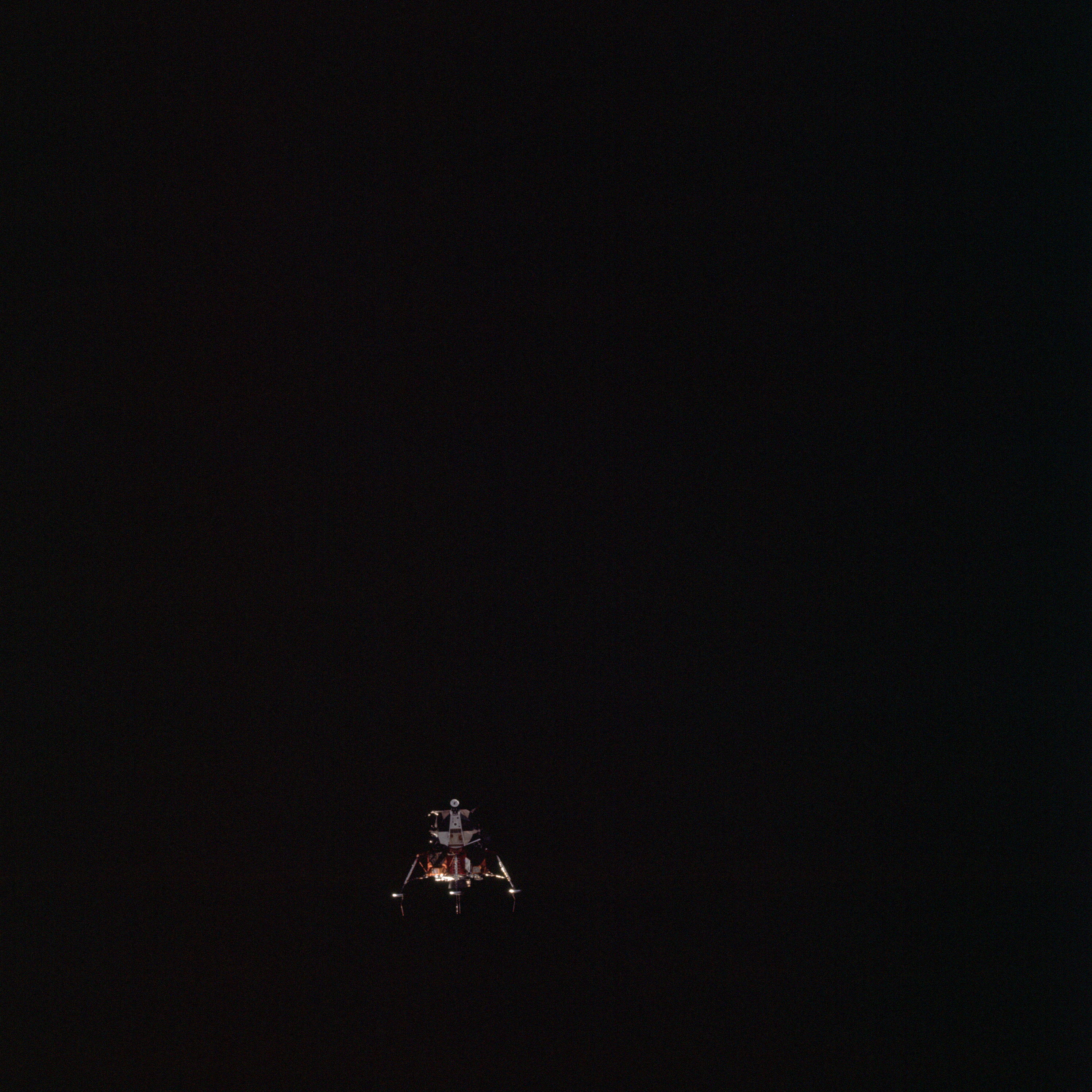 | AS09-21-3220 Lunar Module Image credit: Image Science and Analysis Laboratory, NASA-Johnson Space Center. |
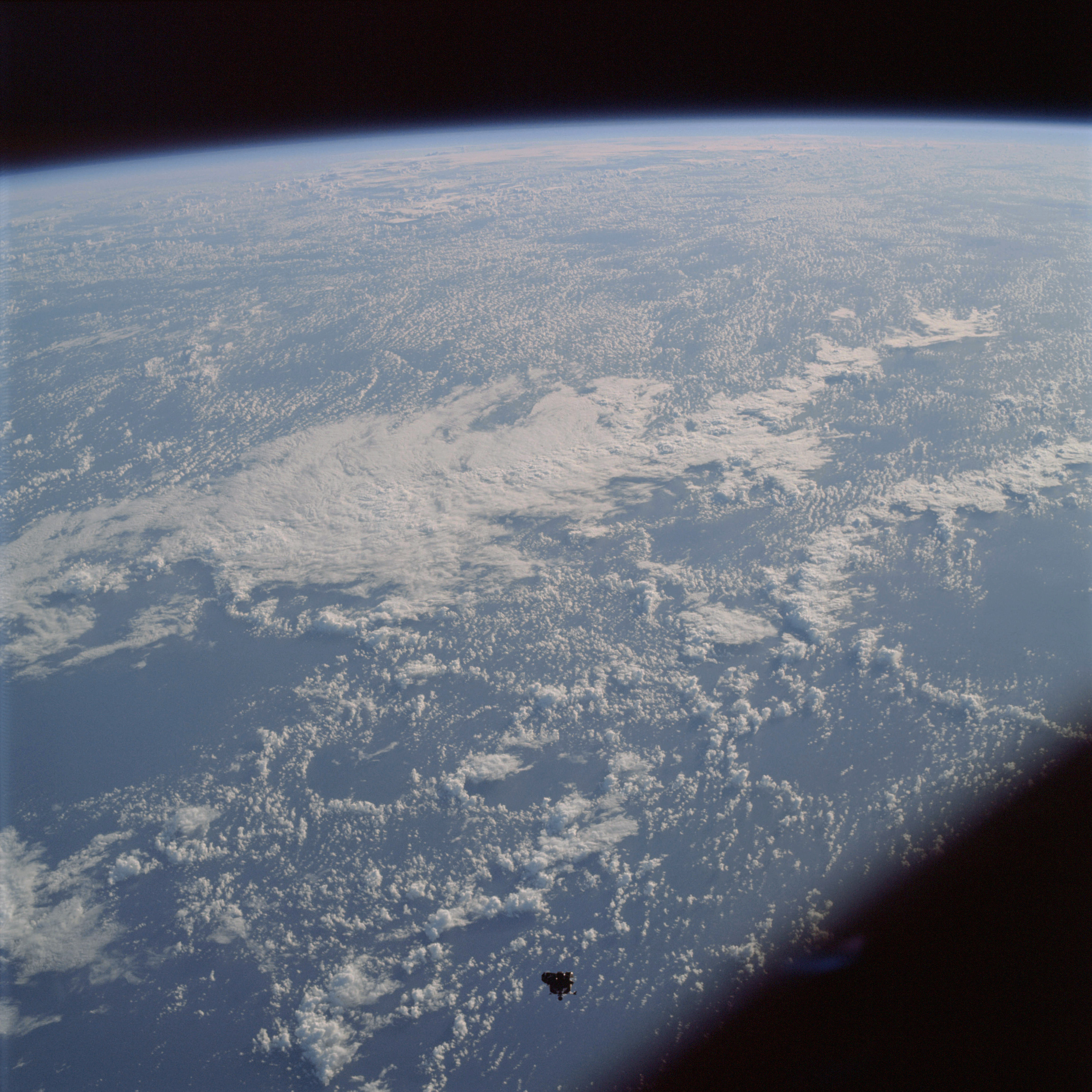 | AS09-21-3221 Lunar Module, clouds Image credit: Image Science and Analysis Laboratory, NASA-Johnson Space Center. |
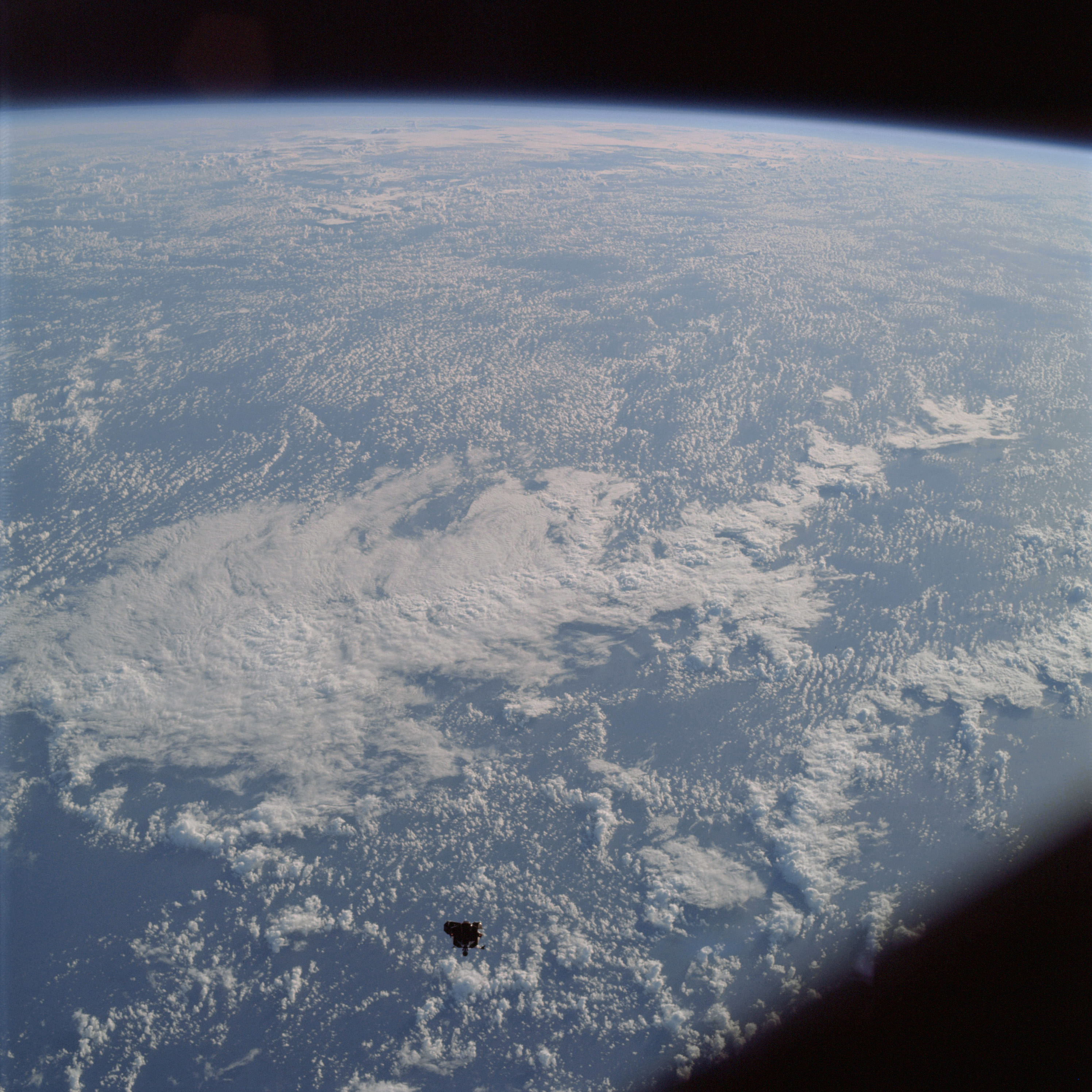 | AS09-21-3222 Lunar Module, clouds Image credit: Image Science and Analysis Laboratory, NASA-Johnson Space Center. |
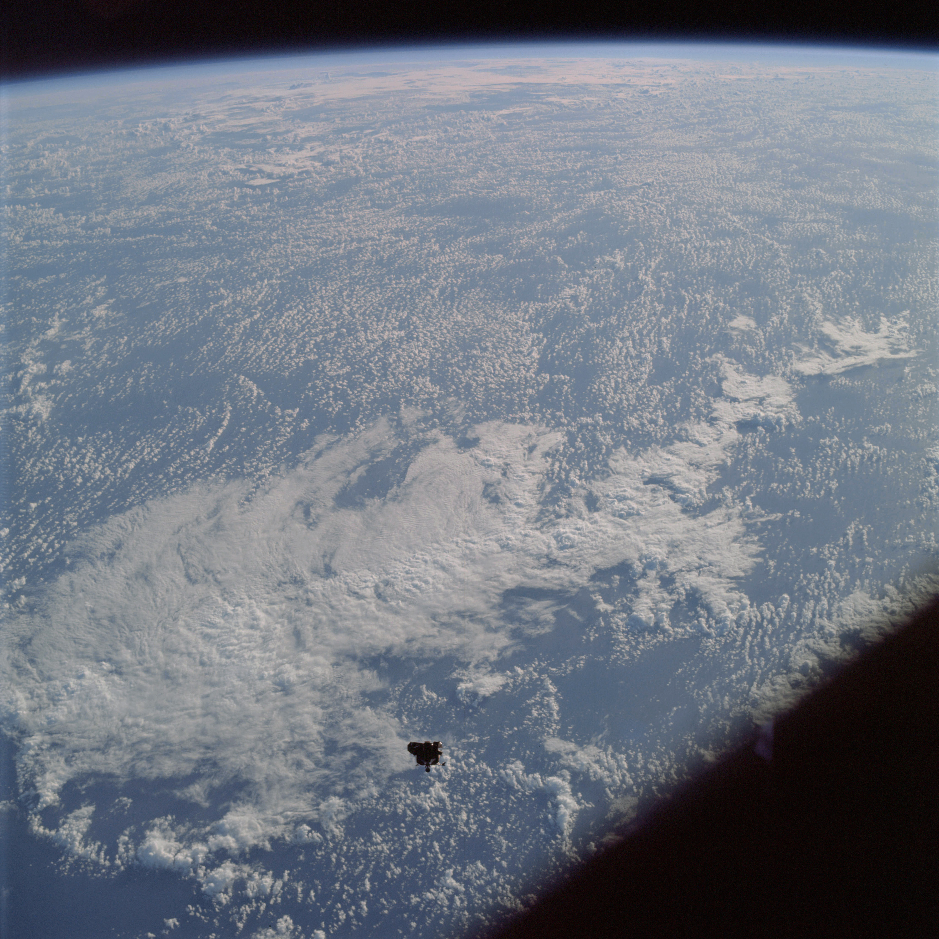 | AS09-21-3223 Lunar Module, clouds Image credit: Image Science and Analysis Laboratory, NASA-Johnson Space Center. |
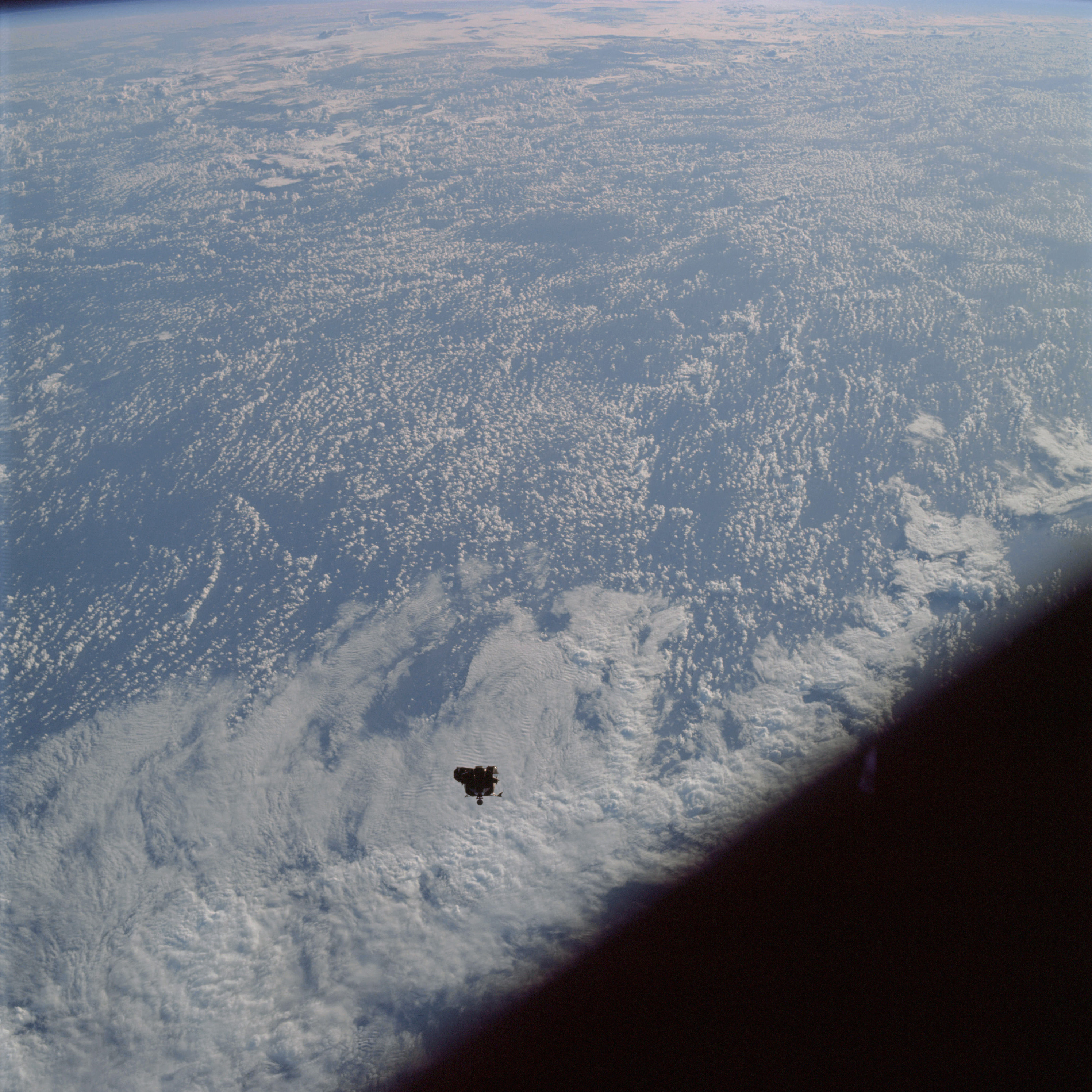 | AS09-21-3224 Lunar Module, clouds Image credit: Image Science and Analysis Laboratory, NASA-Johnson Space Center. |
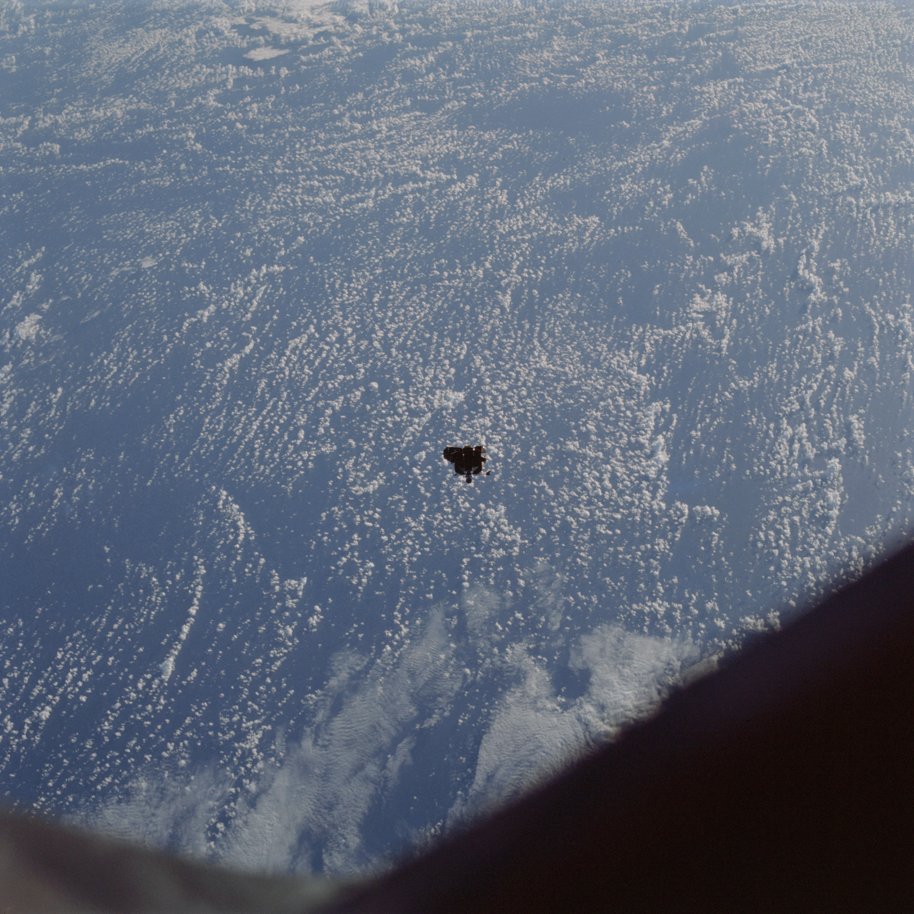 | AS09-21-3225 Lunar Module, clouds Image credit: Image Science and Analysis Laboratory, NASA-Johnson Space Center. |
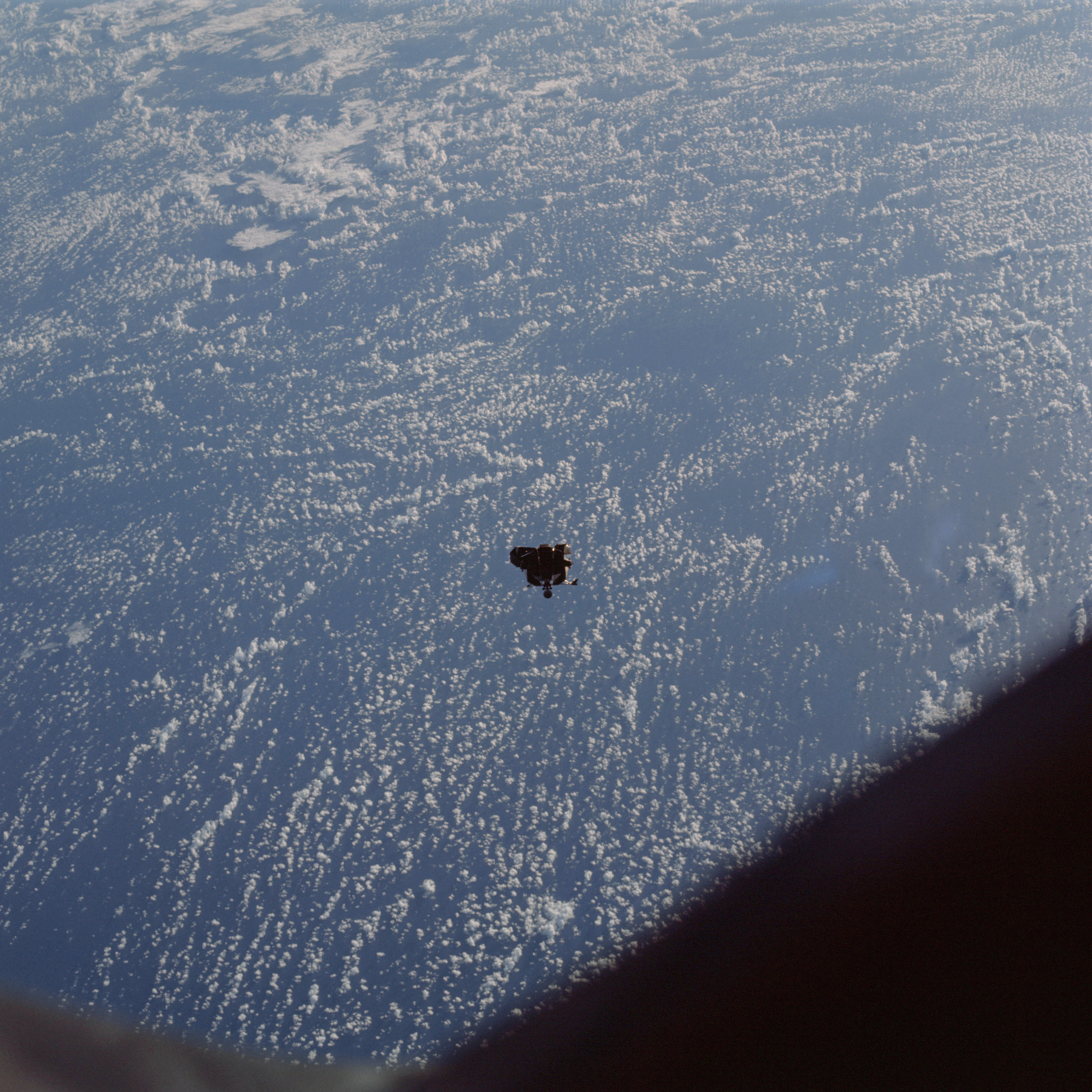 | AS09-21-3226 Lunar Module, clouds Image credit: Image Science and Analysis Laboratory, NASA-Johnson Space Center. |
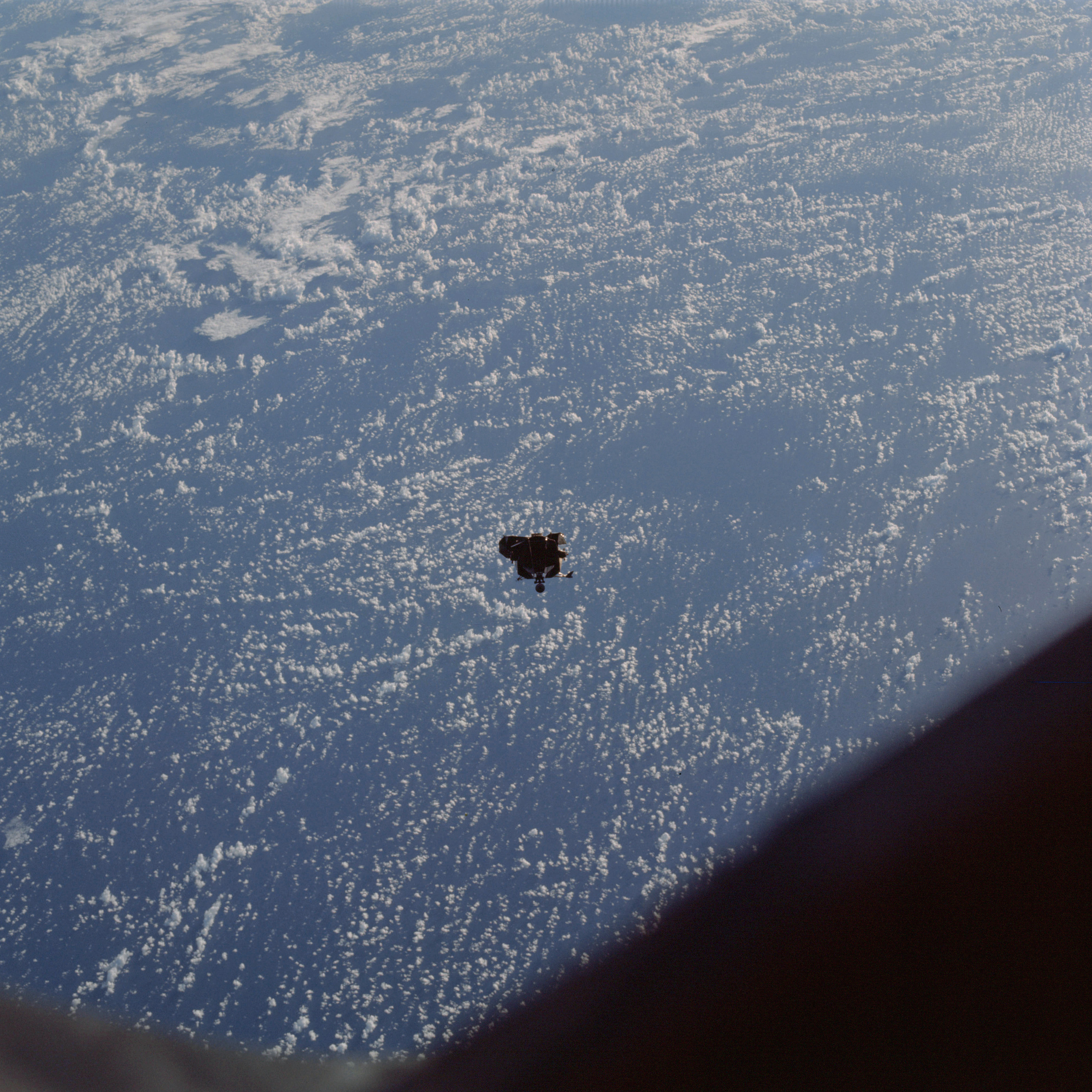 | AS09-21-3227 Lunar Module, clouds Image credit: Image Science and Analysis Laboratory, NASA-Johnson Space Center. |
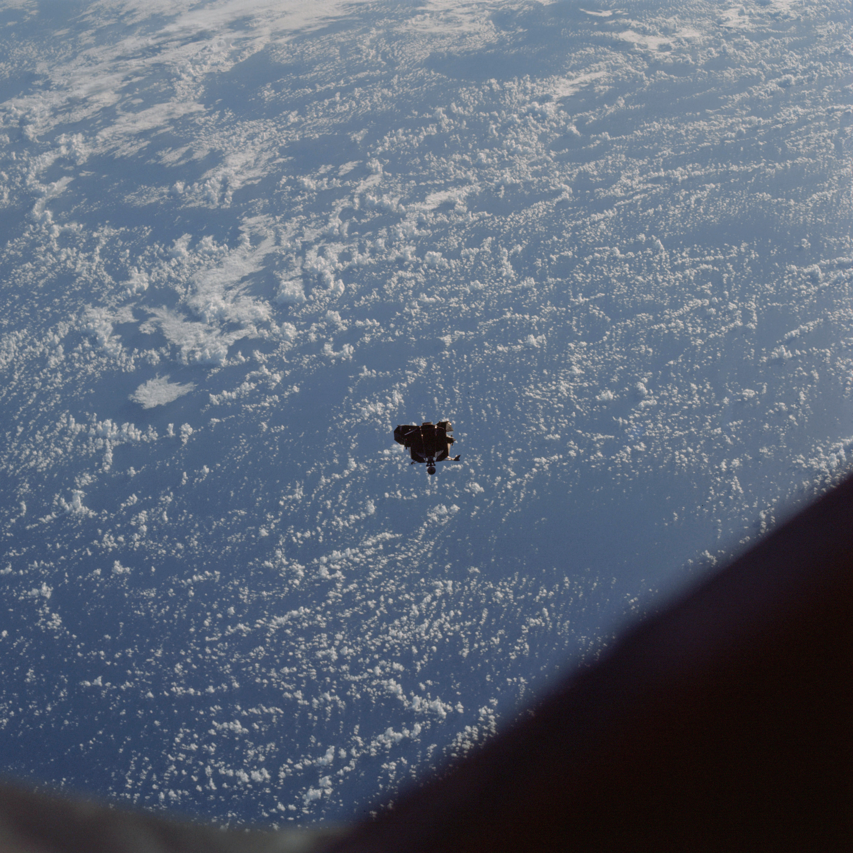 | AS09-21-3228 Lunar Module, clouds Image credit: Image Science and Analysis Laboratory, NASA-Johnson Space Center. |
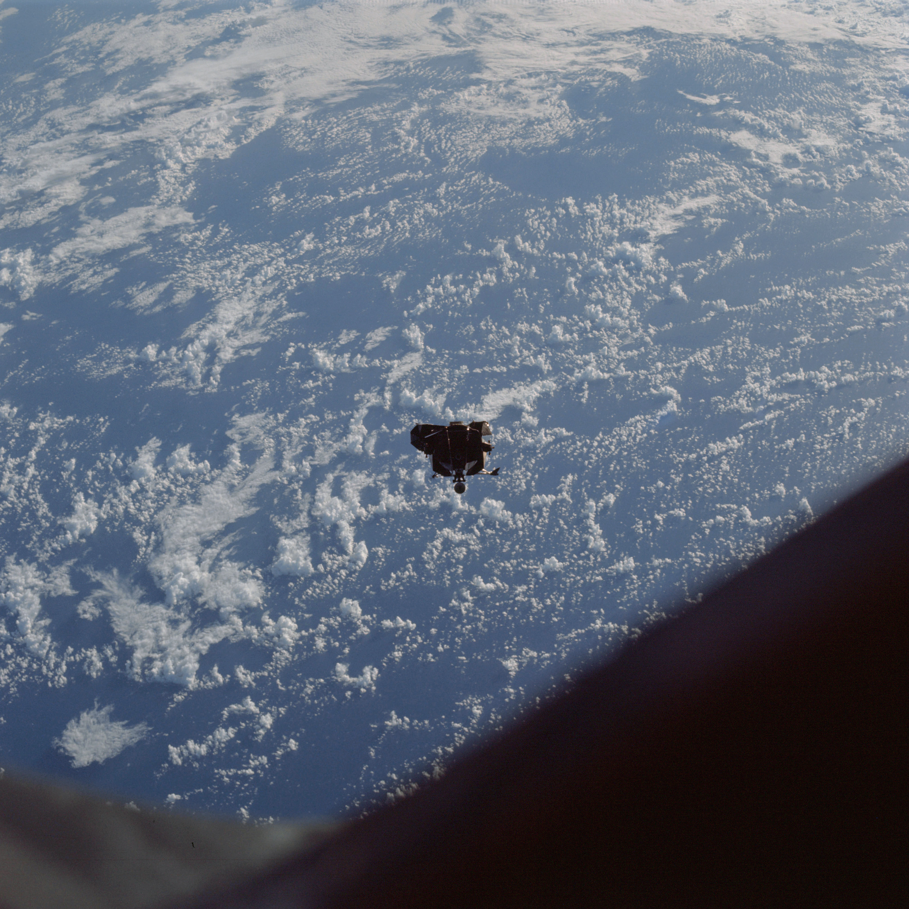 | AS09-21-3229 Lunar Module, clouds Image credit: Image Science and Analysis Laboratory, NASA-Johnson Space Center. |
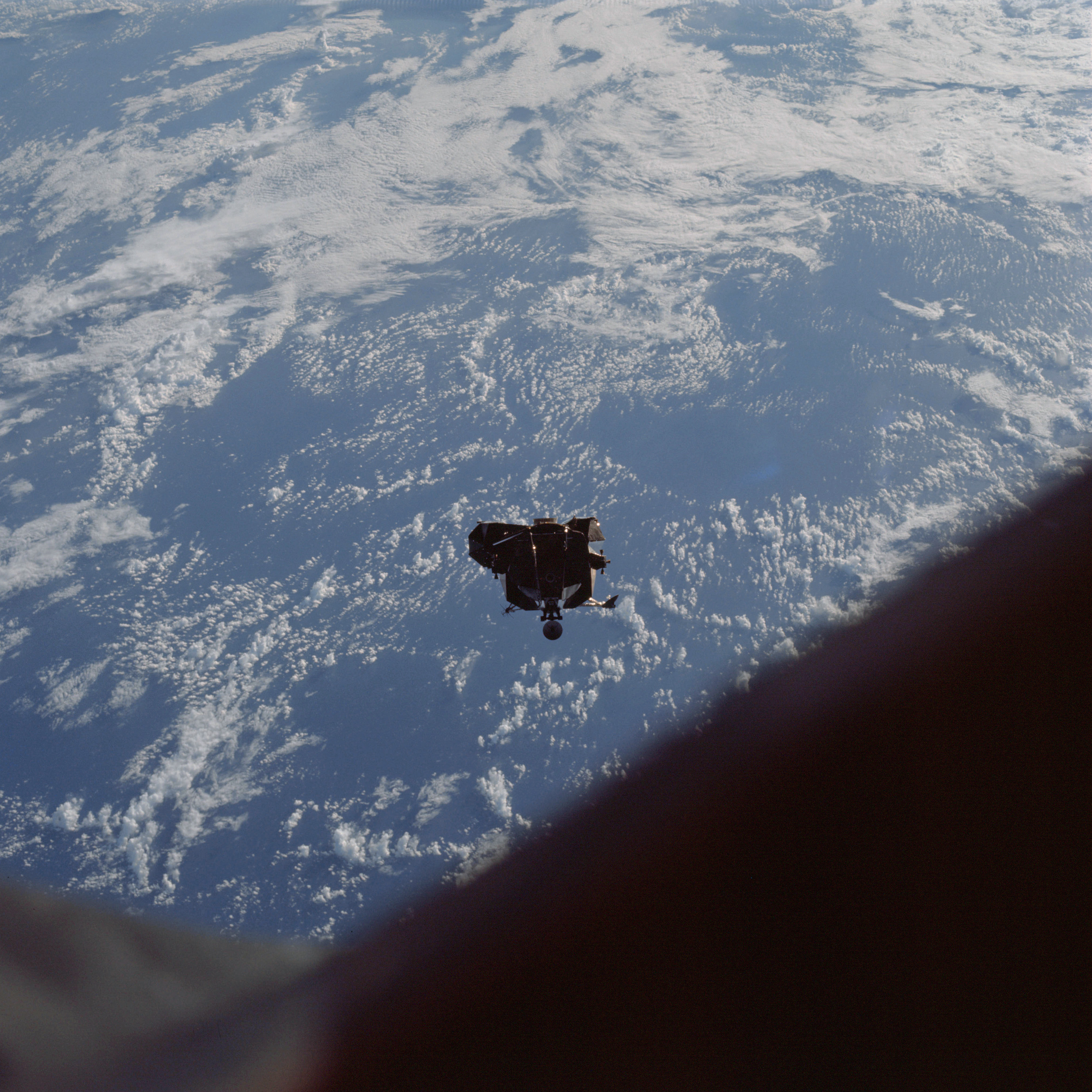 | AS09-21-3230 Lunar Module, clouds Image credit: Image Science and Analysis Laboratory, NASA-Johnson Space Center. |
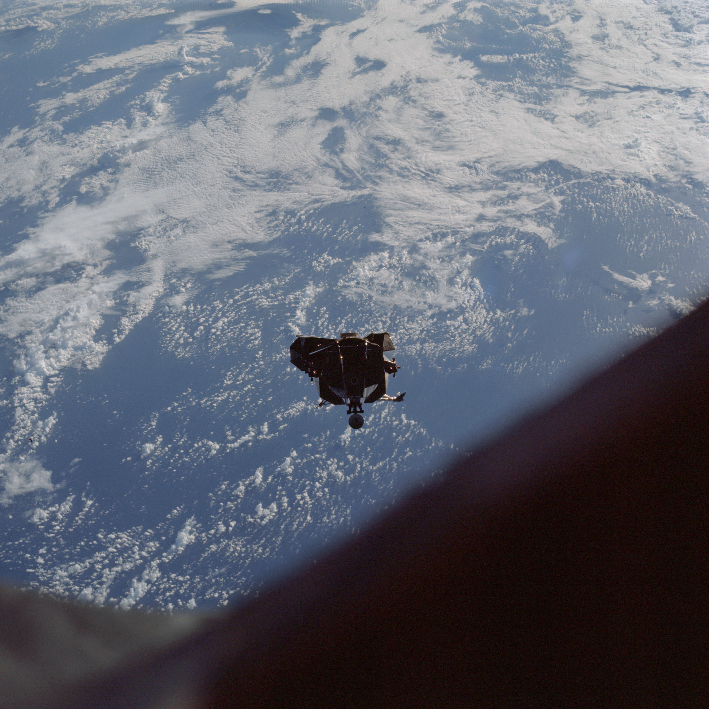 | AS09-21-3231 Lunar Module, clouds Image credit: Image Science and Analysis Laboratory, NASA-Johnson Space Center. |
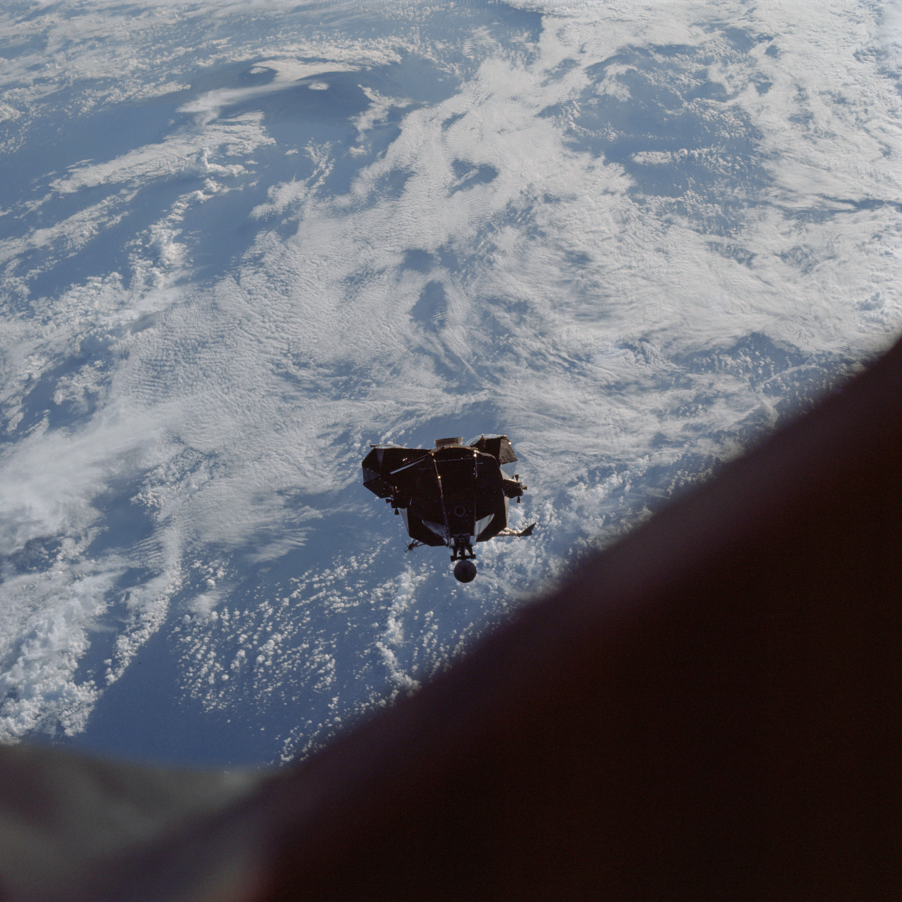 | AS09-21-3232 Lunar Module, clouds Image credit: Image Science and Analysis Laboratory, NASA-Johnson Space Center. |
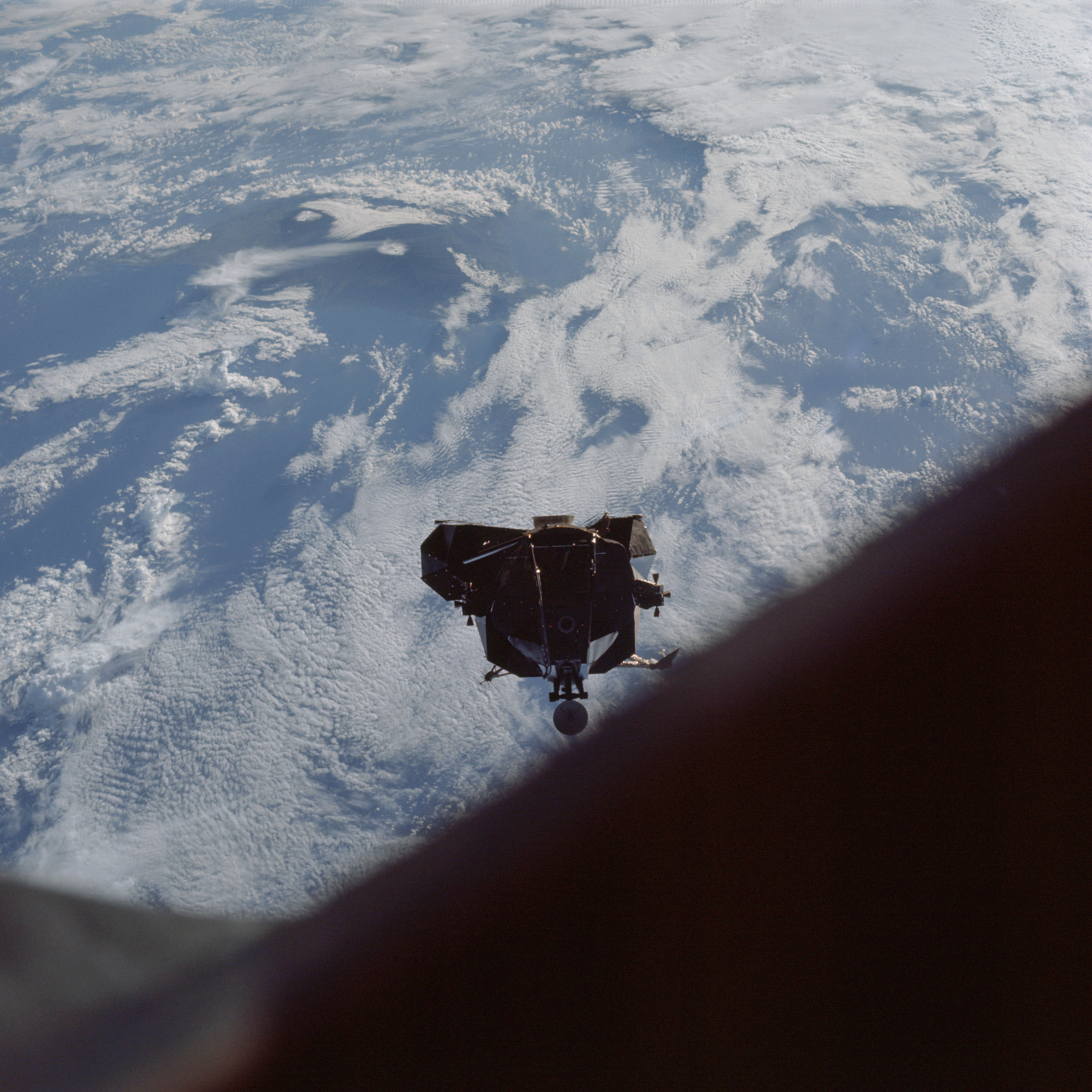 | AS09-21-3233 Lunar Module, clouds Image credit: Image Science and Analysis Laboratory, NASA-Johnson Space Center. |
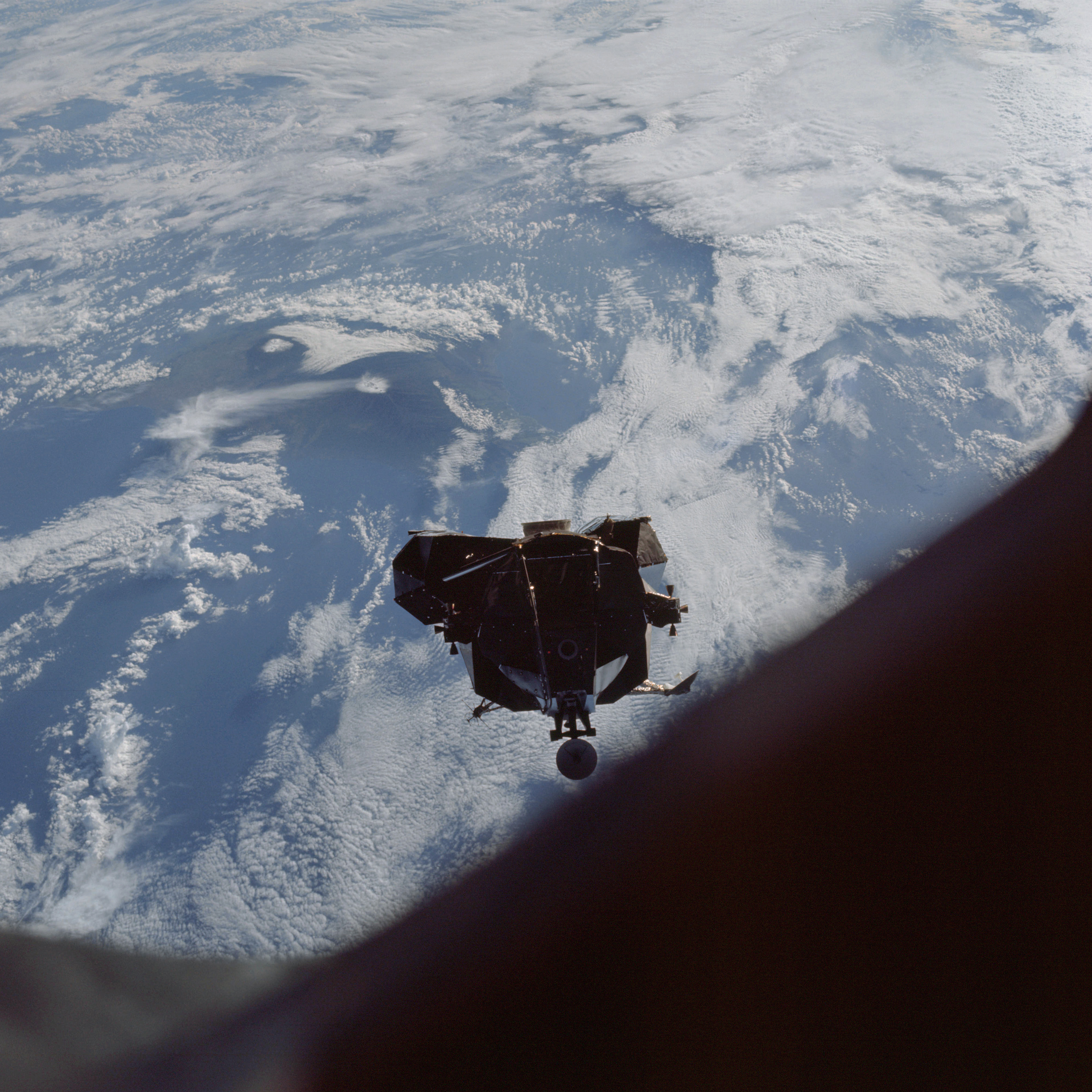 | AS09-21-3234 Lunar Module, clouds Image credit: Image Science and Analysis Laboratory, NASA-Johnson Space Center. |
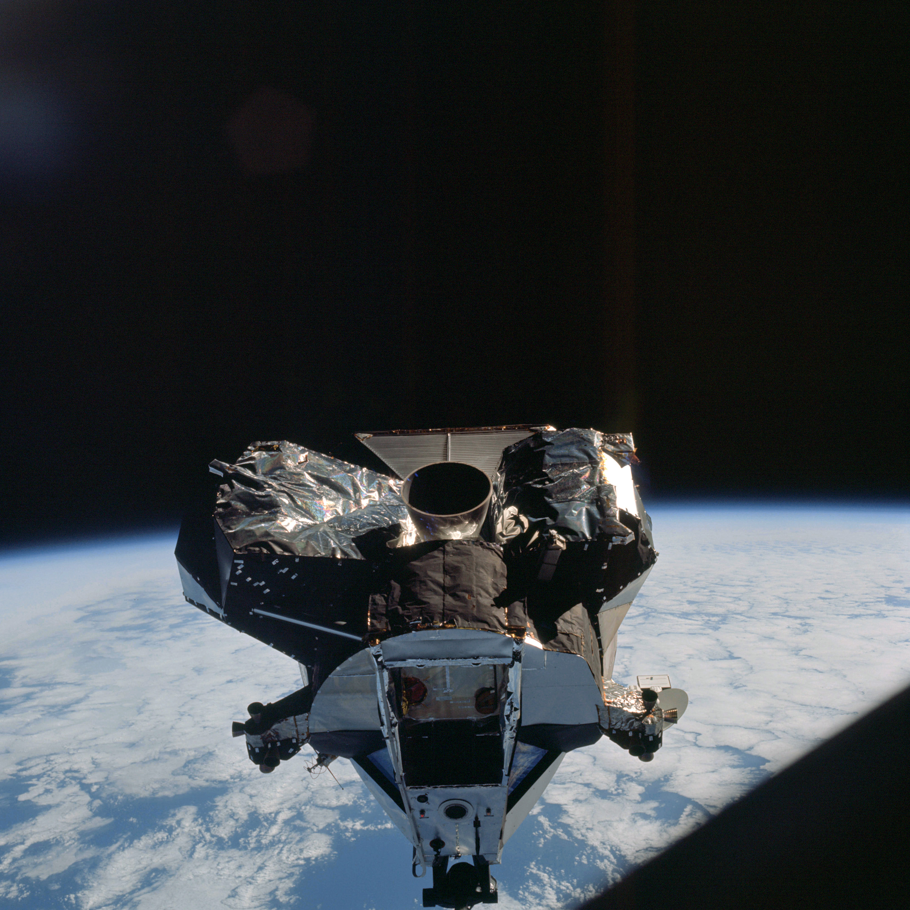 | AS09-21-3235 Lunar Module, clouds Image credit: Image Science and Analysis Laboratory, NASA-Johnson Space Center. |
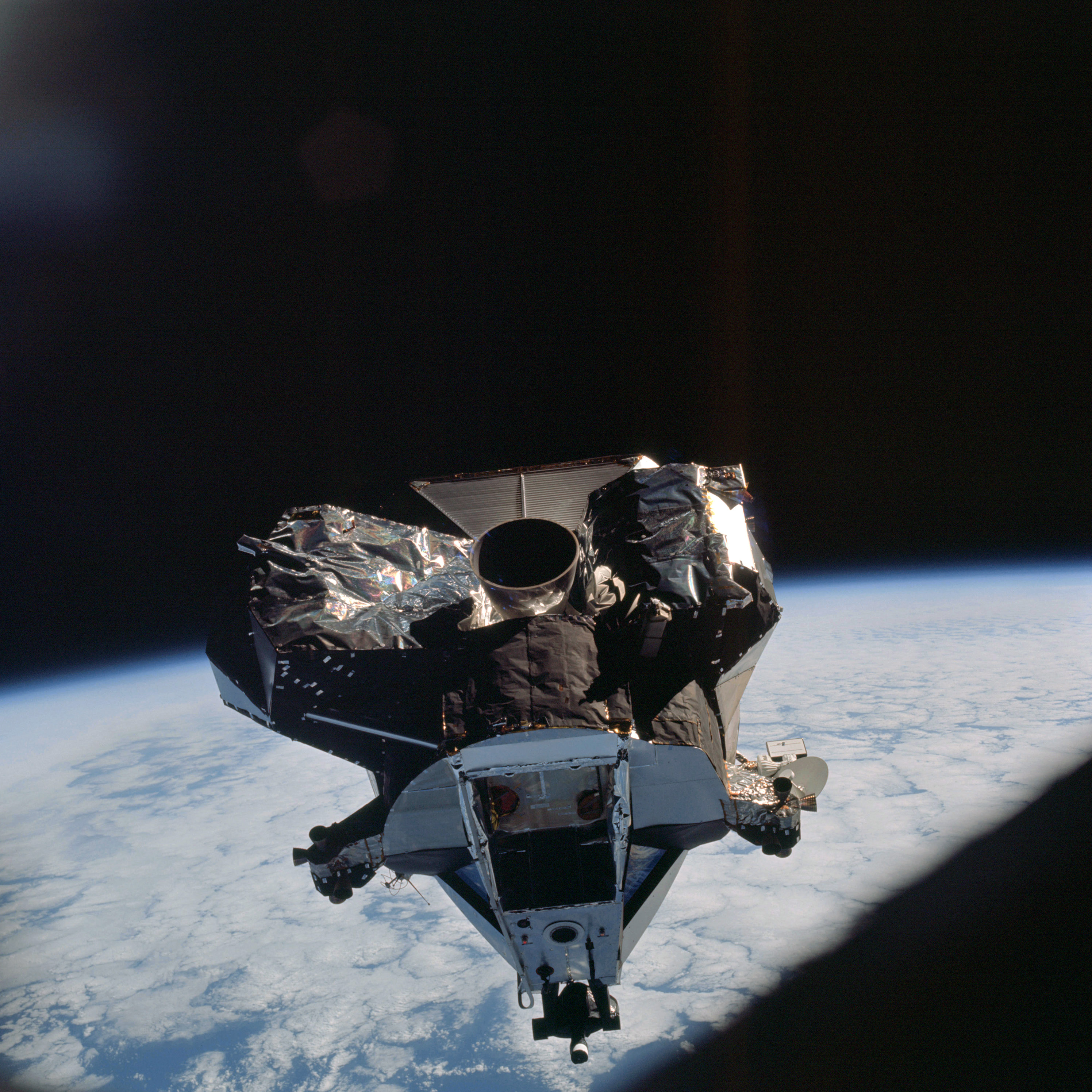 | AS09-21-3236 Lunar Module, clouds Image credit: Image Science and Analysis Laboratory, NASA-Johnson Space Center. |
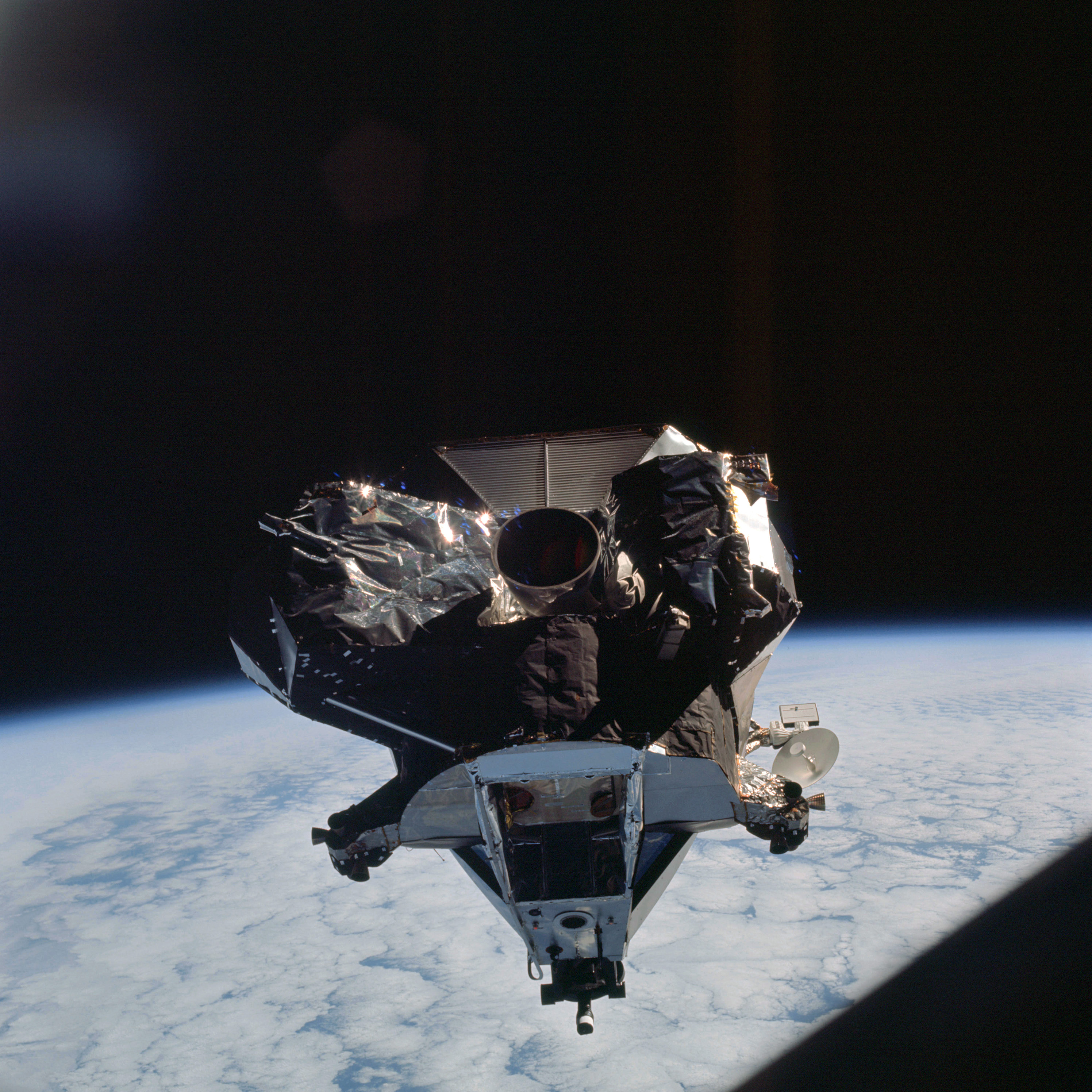 | AS09-21-3237 Lunar Module, clouds Image credit: Image Science and Analysis Laboratory, NASA-Johnson Space Center. |
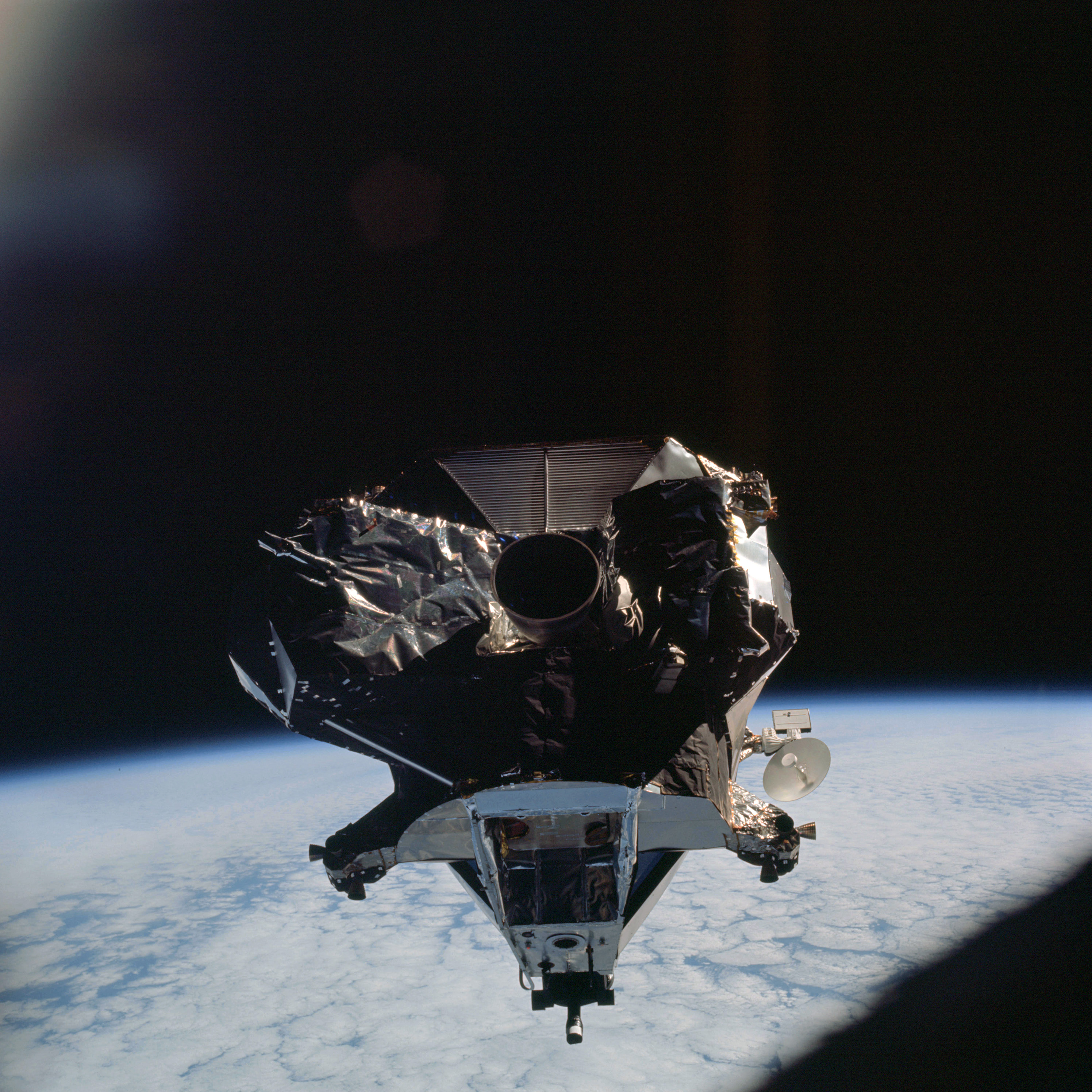 | AS09-21-3238 Lunar Module, clouds Image credit: Image Science and Analysis Laboratory, NASA-Johnson Space Center. |
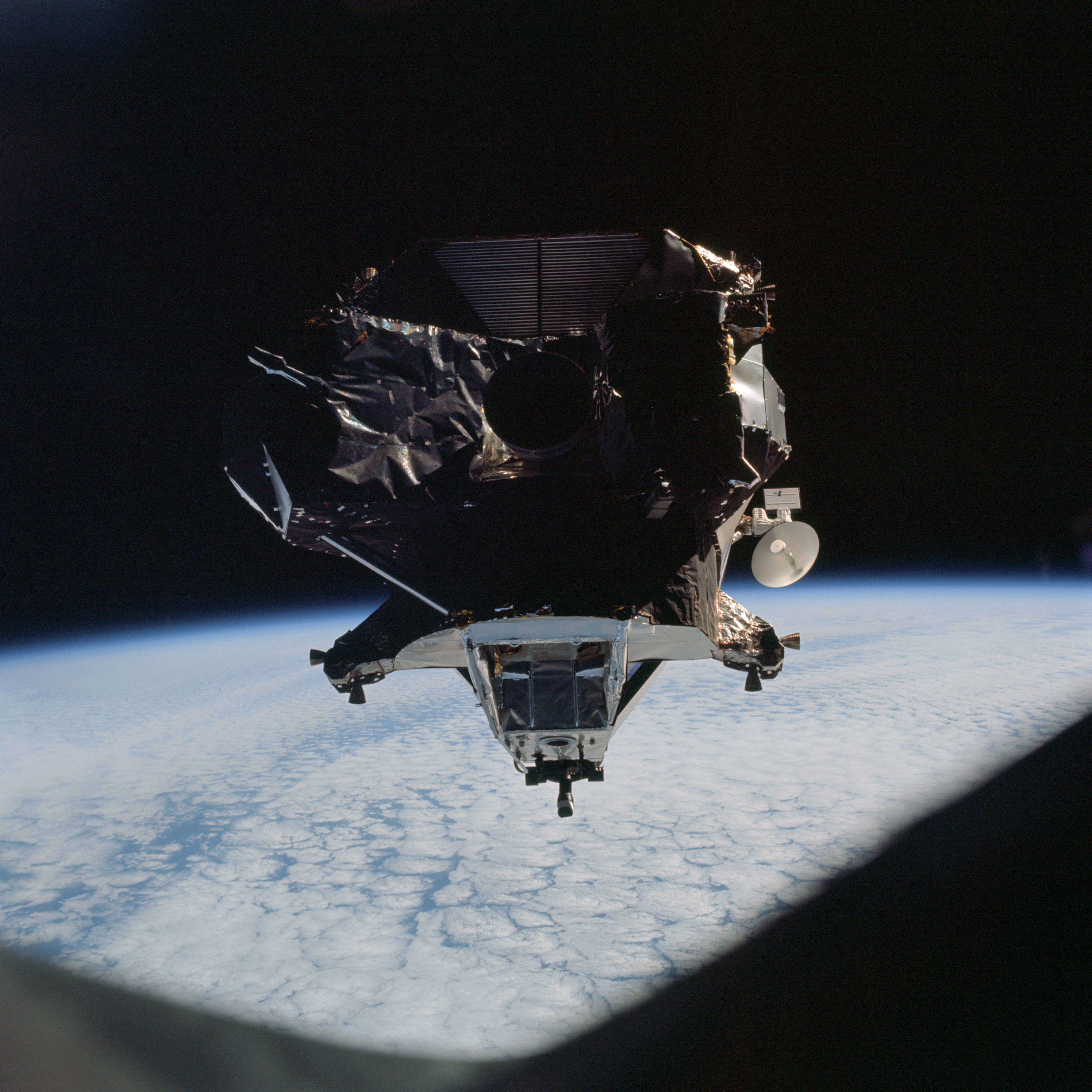 | AS09-21-3239 Lunar Module, clouds Image credit: Image Science and Analysis Laboratory, NASA-Johnson Space Center. |
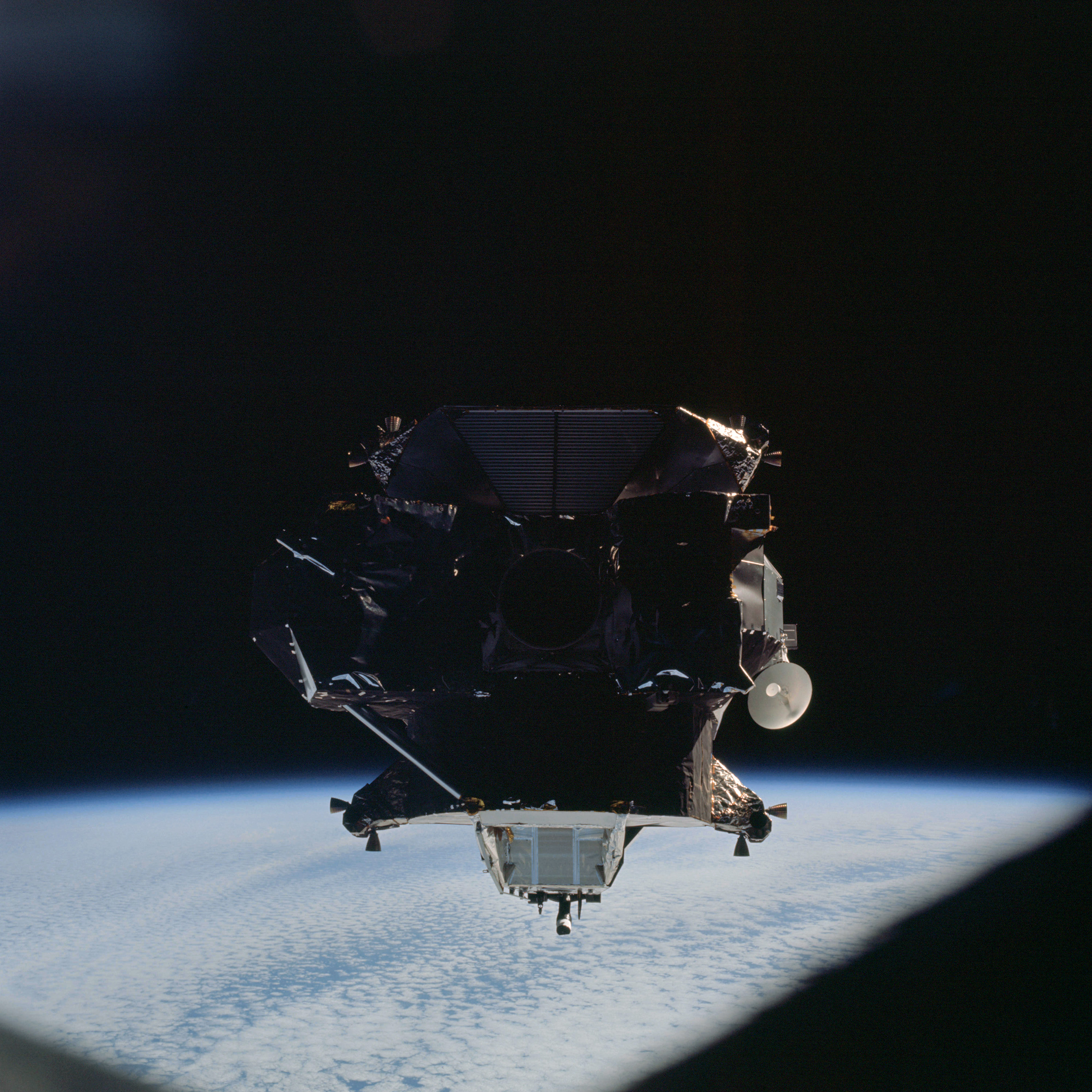 | AS09-21-3240 Lunar Module, clouds Image credit: Image Science and Analysis Laboratory, NASA-Johnson Space Center. |
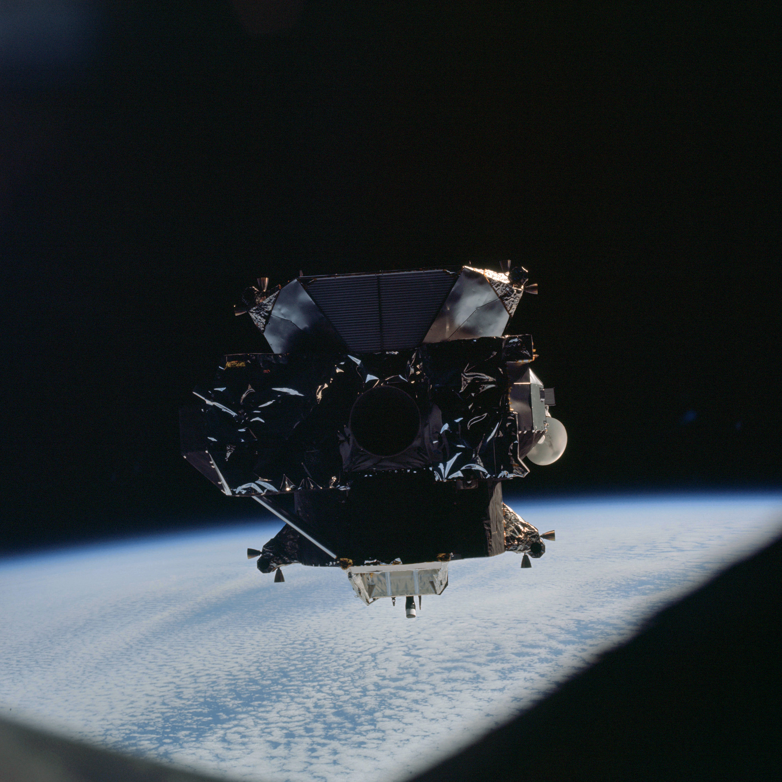 | AS09-21-3241 Lunar Module, clouds Image credit: Image Science and Analysis Laboratory, NASA-Johnson Space Center. |
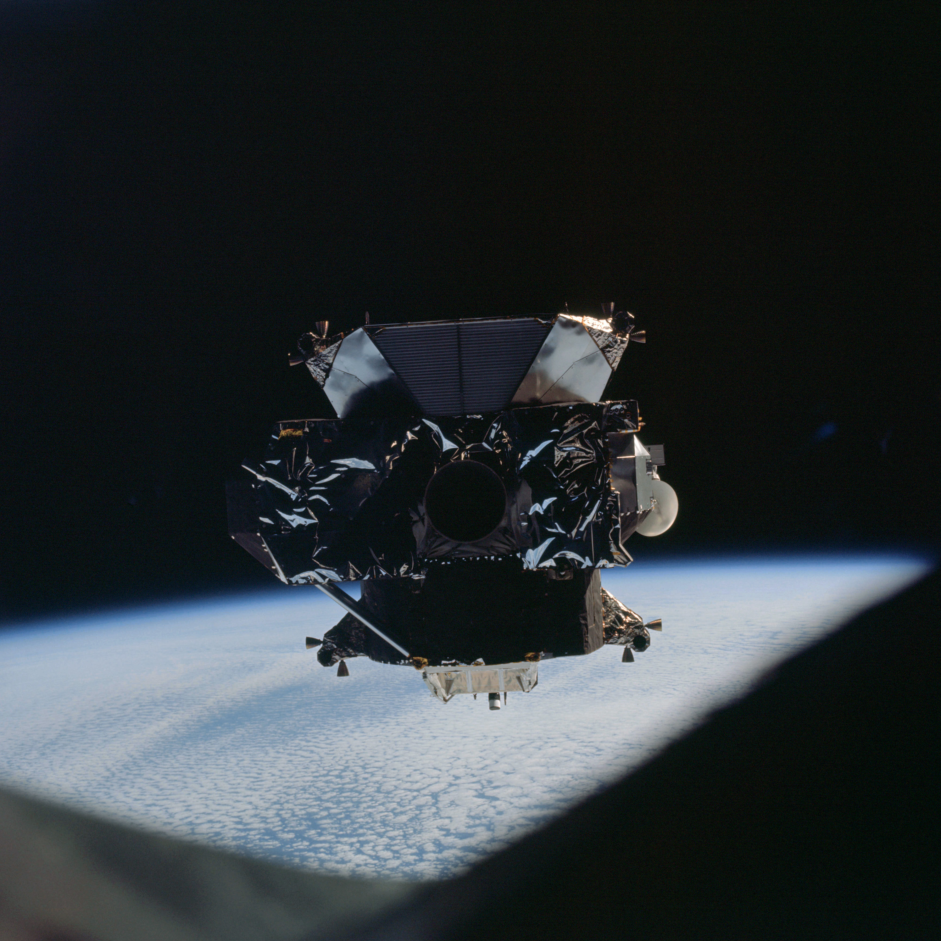 | AS09-21-3242 Lunar Module, clouds Image credit: Image Science and Analysis Laboratory, NASA-Johnson Space Center. |
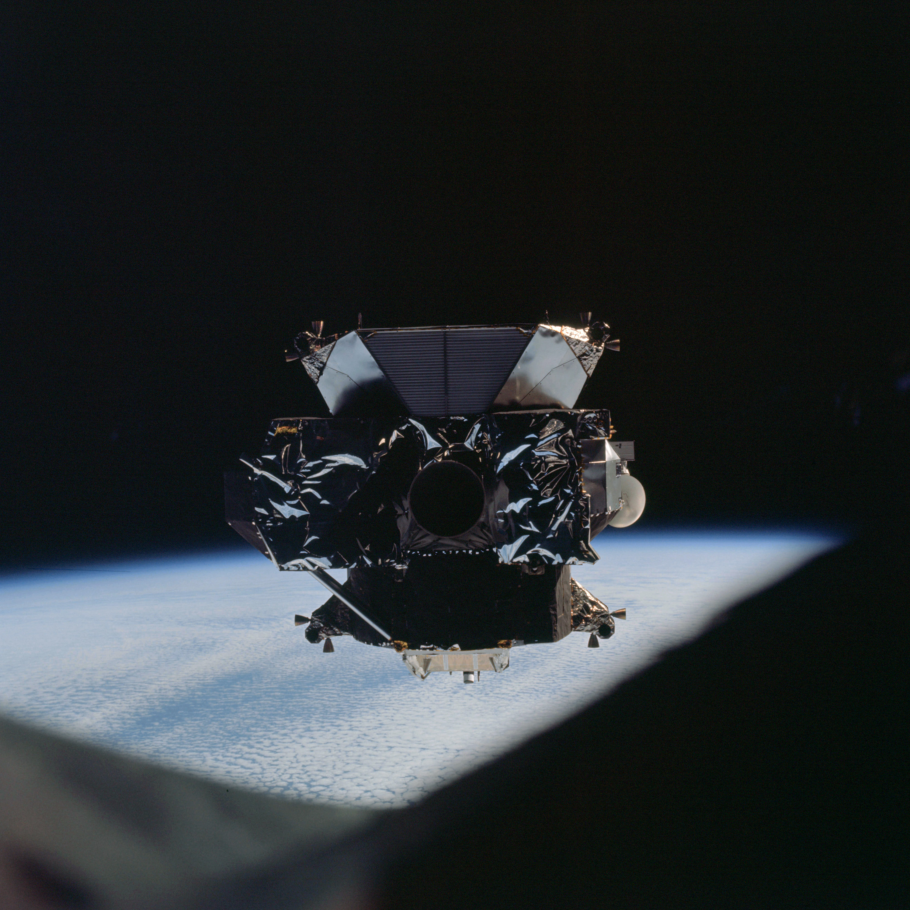 | AS09-21-3243 Lunar Module, clouds Image credit: Image Science and Analysis Laboratory, NASA-Johnson Space Center. |
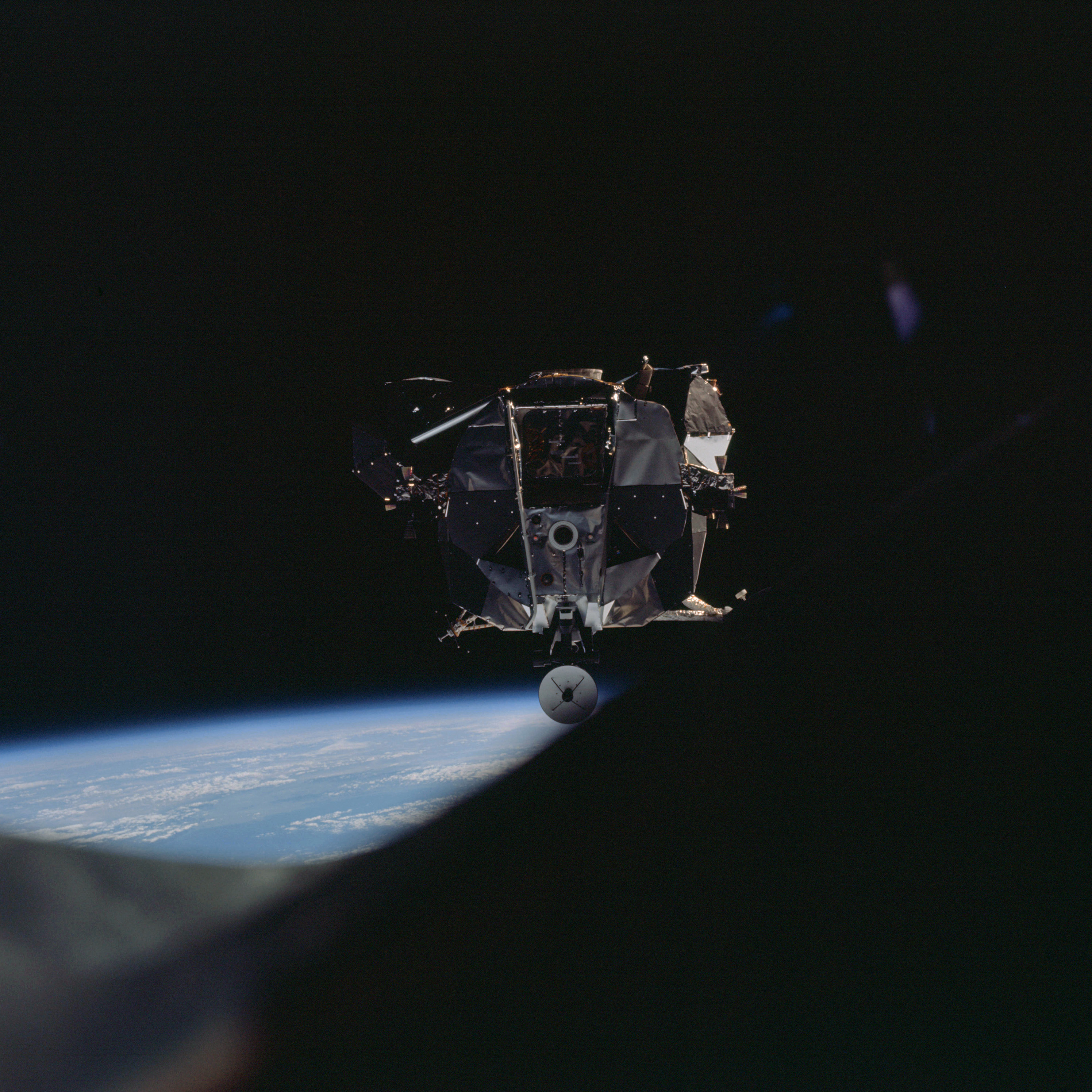 | AS09-21-3244 Lunar Module, clouds Image credit: Image Science and Analysis Laboratory, NASA-Johnson Space Center. |
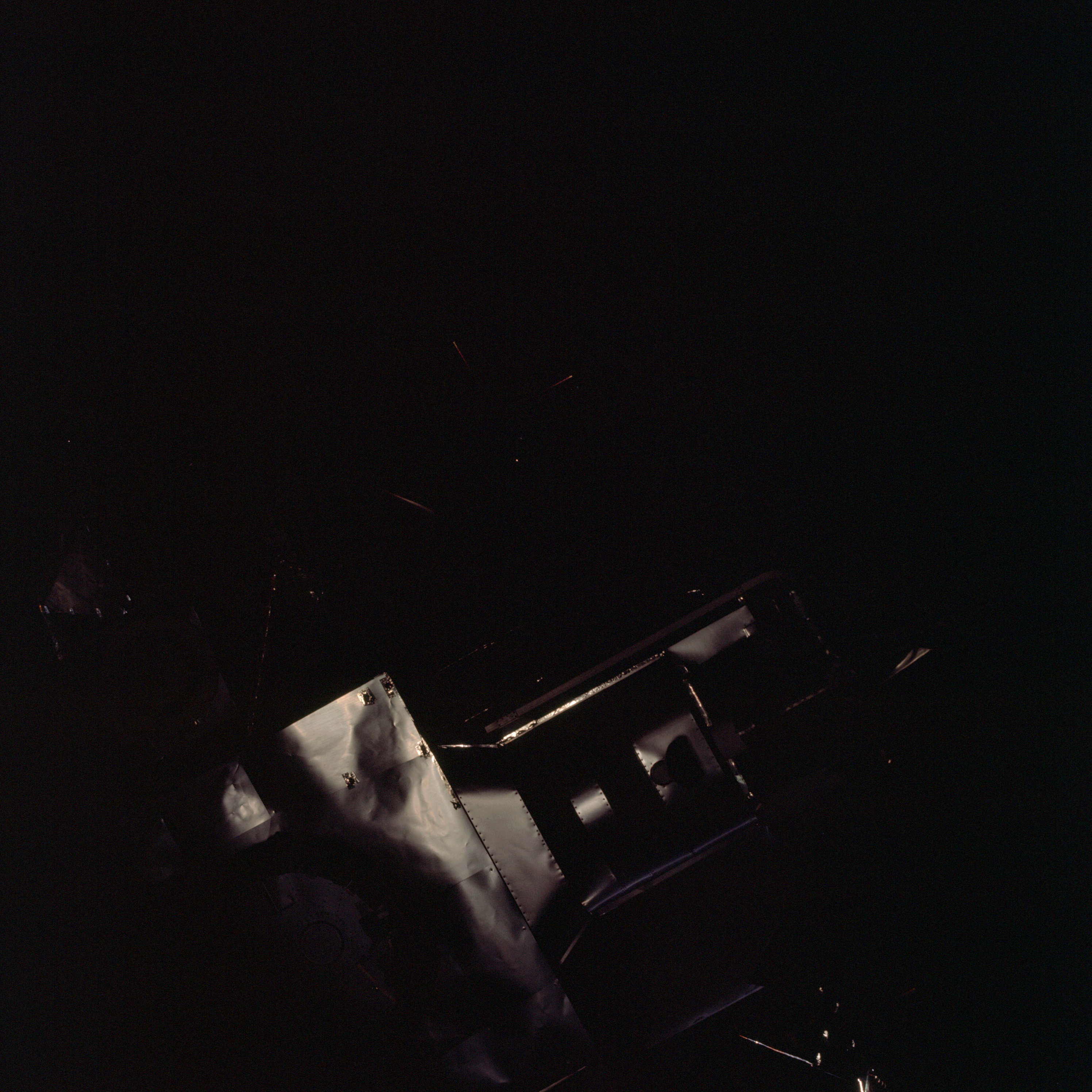 | AS09-21-3245 Lunar Module Image credit: Image Science and Analysis Laboratory, NASA-Johnson Space Center. |
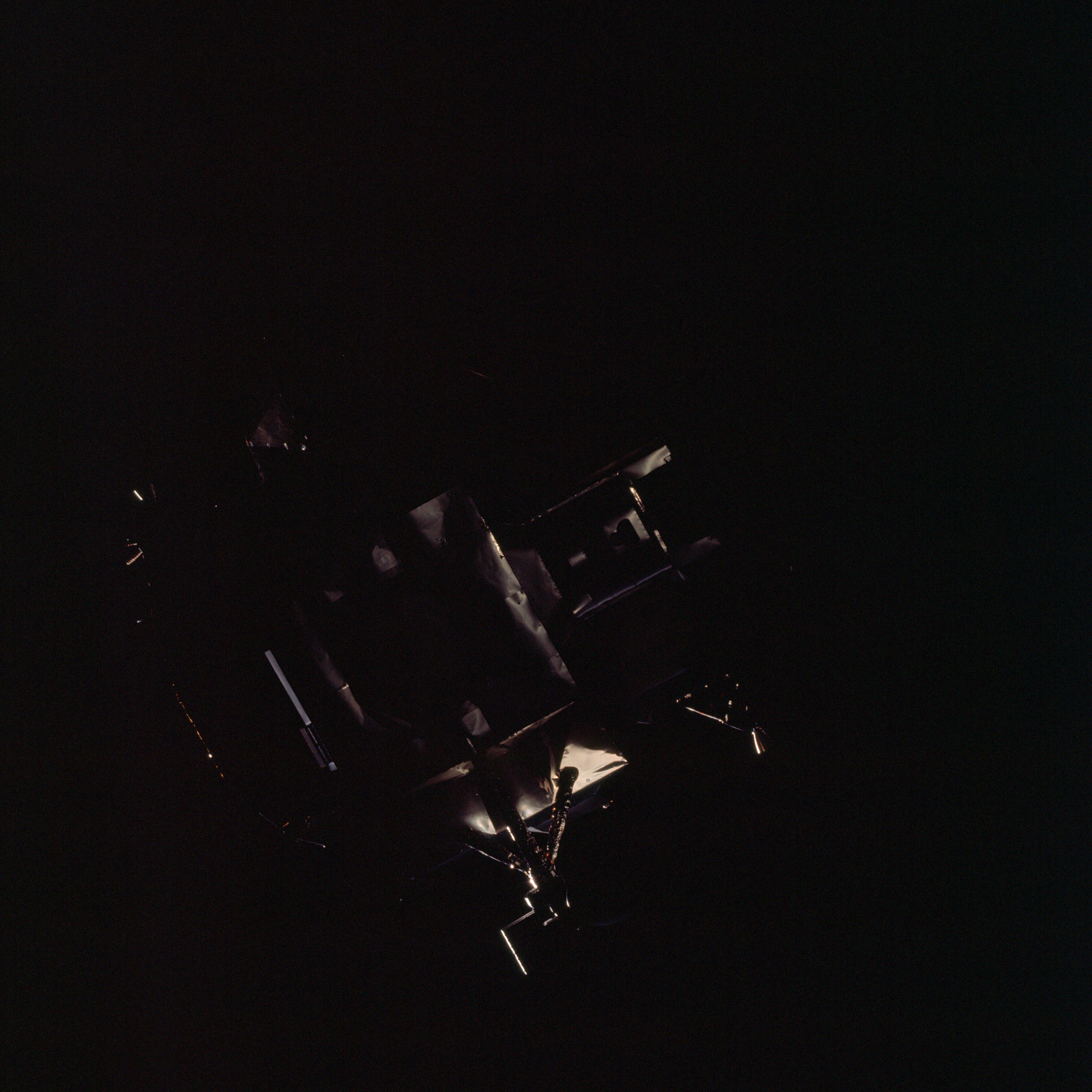 | AS09-21-3246 Lunar Module Image credit: Image Science and Analysis Laboratory, NASA-Johnson Space Center. |
 | AS09-21-3247 Lunar Module Image credit: Image Science and Analysis Laboratory, NASA-Johnson Space Center. |
 | AS09-21-3248 Lunar Module Image credit: Image Science and Analysis Laboratory, NASA-Johnson Space Center. |
 | AS09-21-3249 Lunar Module Image credit: Image Science and Analysis Laboratory, NASA-Johnson Space Center. |
 | AS09-21-3250 Lunar Module Image credit: Image Science and Analysis Laboratory, NASA-Johnson Space Center. |
 | AS09-21-3251 Lunar Module Image credit: Image Science and Analysis Laboratory, NASA-Johnson Space Center. |
 | AS09-21-3252 Lunar Module Image credit: Image Science and Analysis Laboratory, NASA-Johnson Space Center. |
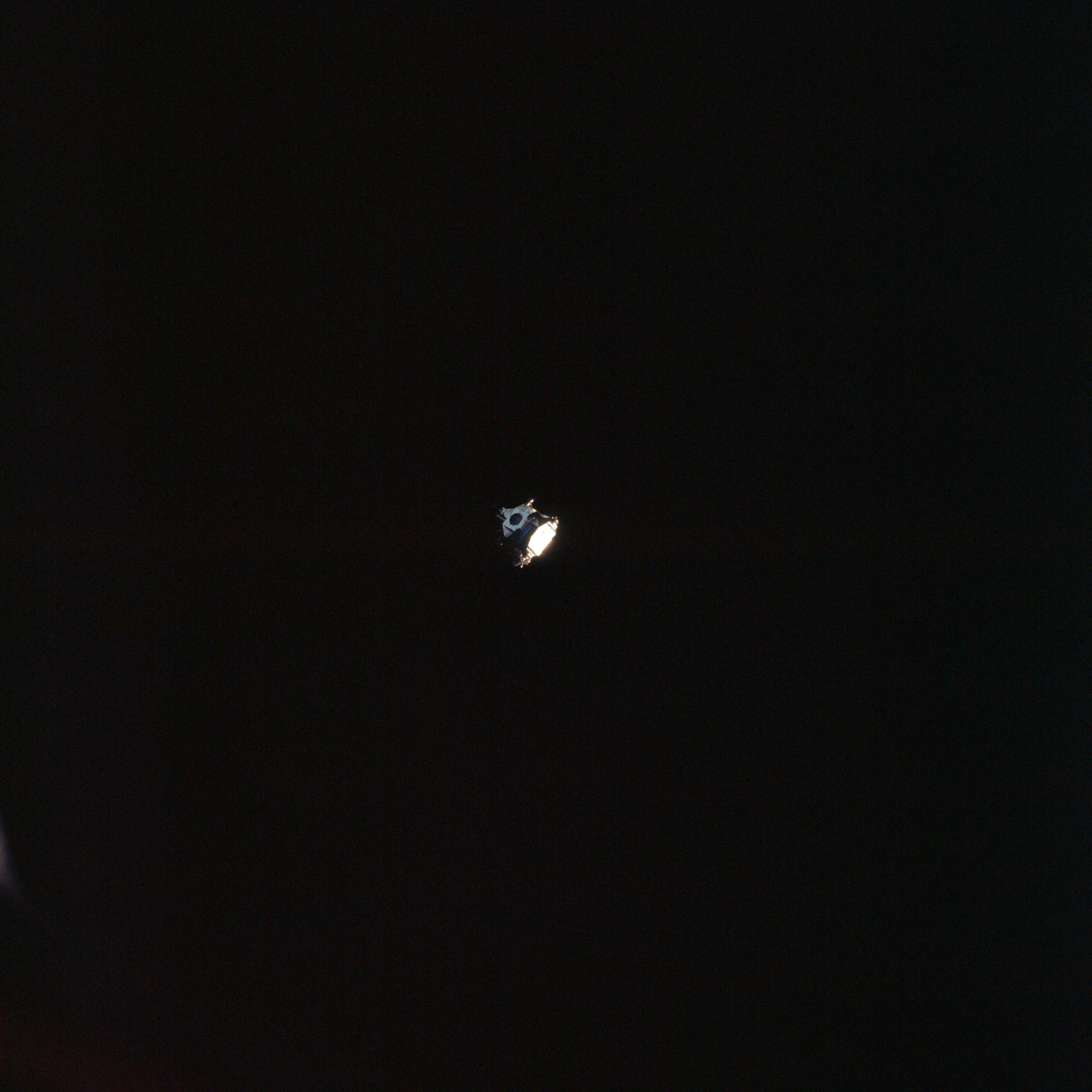 | AS09-21-3253 Lunar Module Image credit: Image Science and Analysis Laboratory, NASA-Johnson Space Center. |
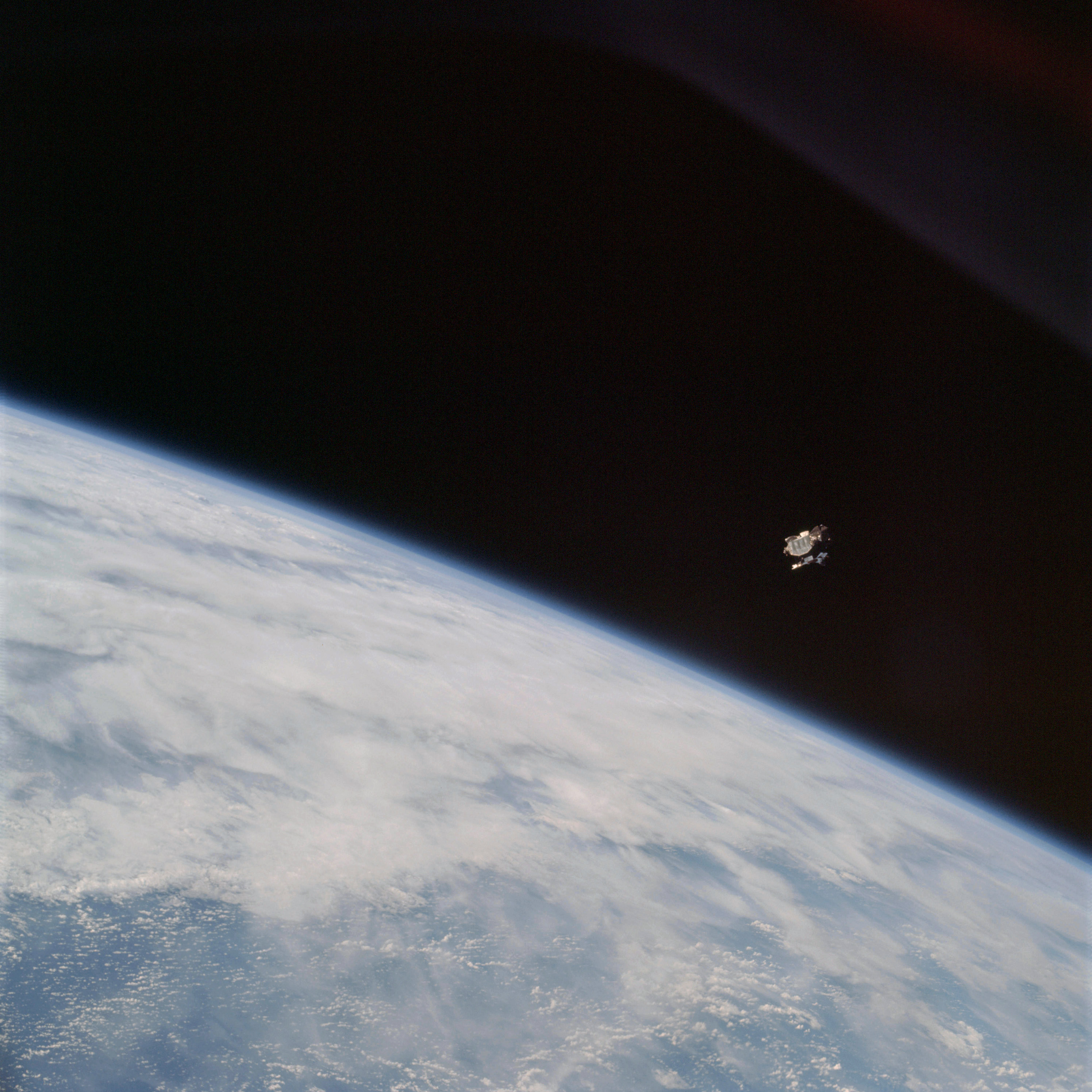 | AS09-21-3254 Lunar Module, clouds Image credit: Image Science and Analysis Laboratory, NASA-Johnson Space Center. |
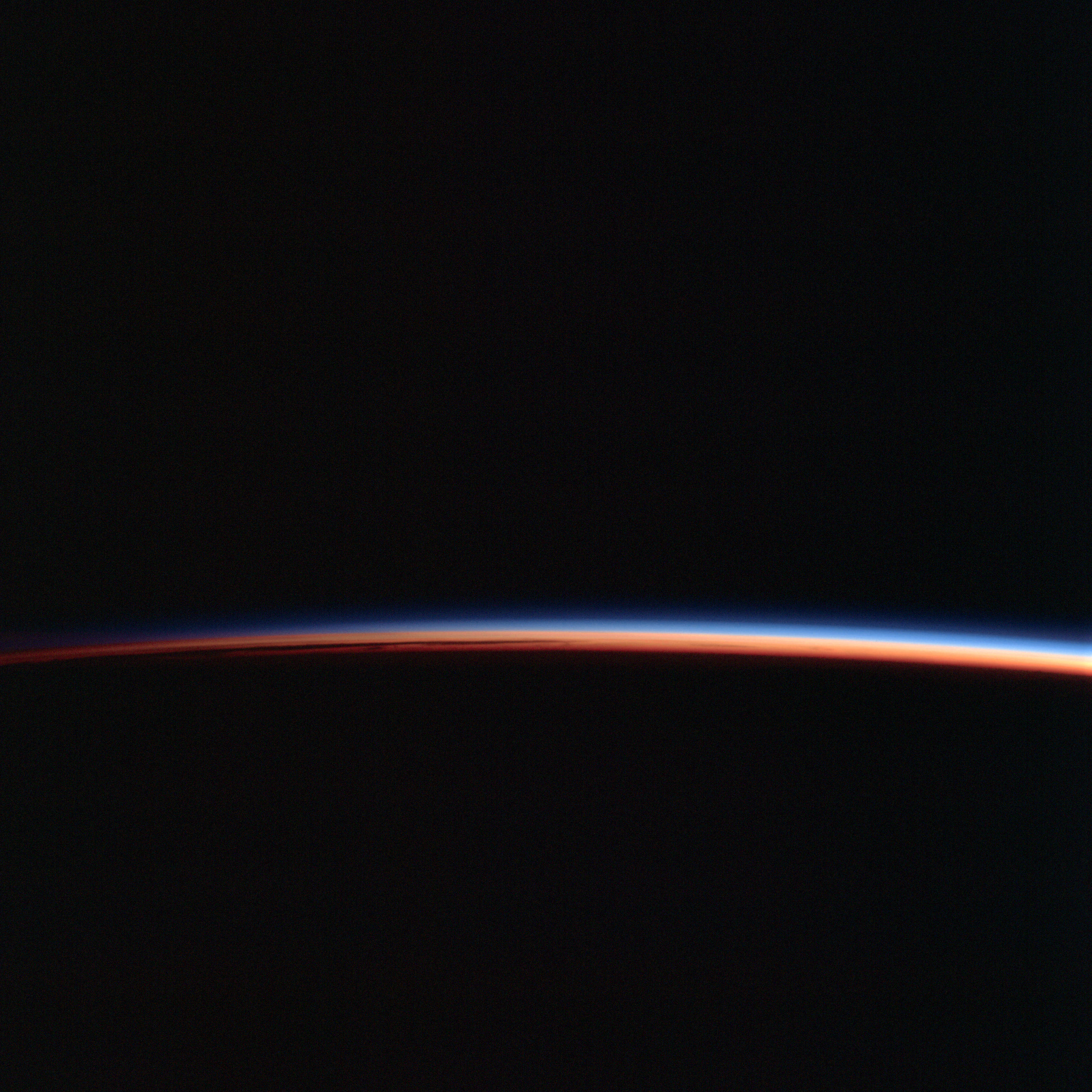 | AS09-21-3255 Limb shot Image credit: Image Science and Analysis Laboratory, NASA-Johnson Space Center. |
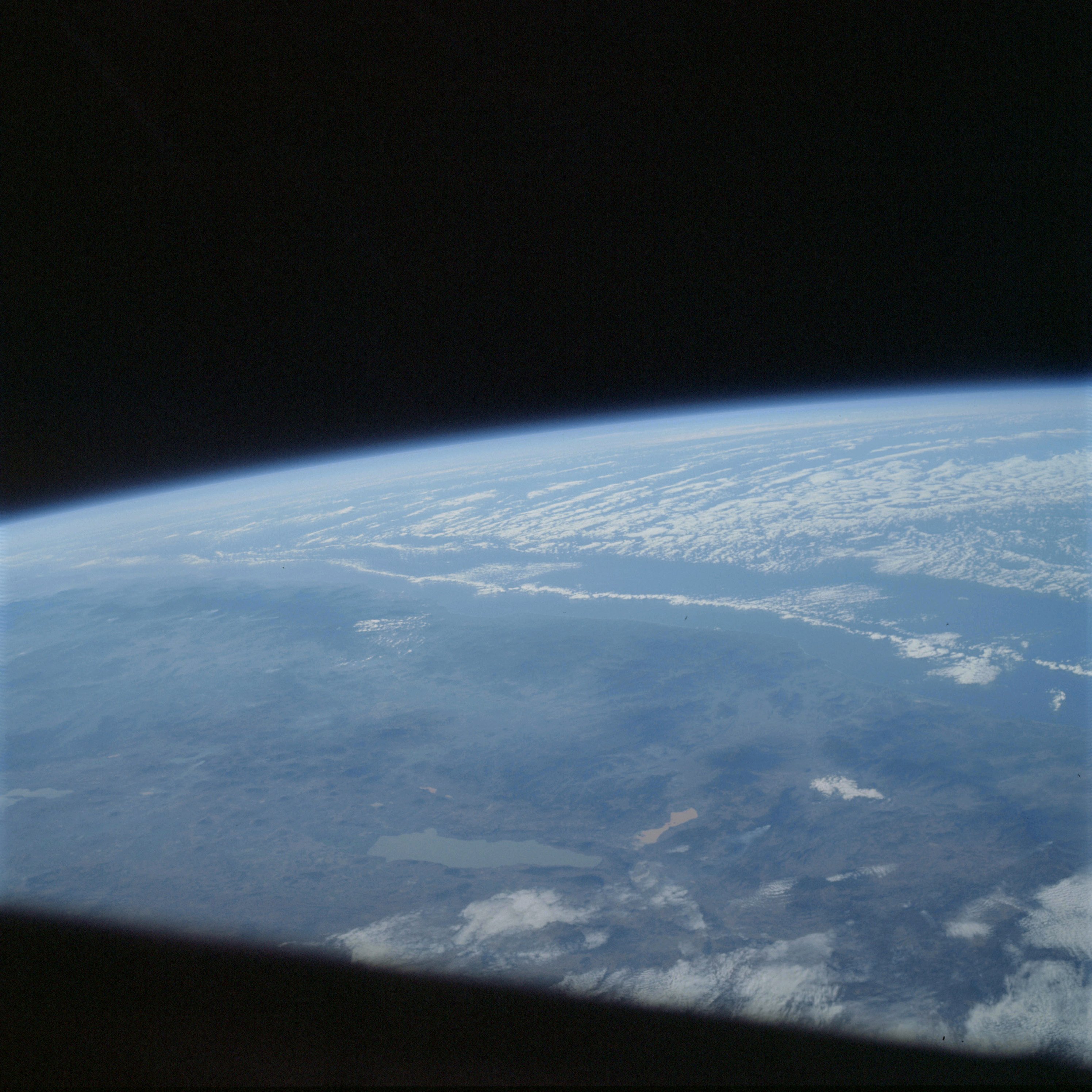 | AS09-21-3256 GEOGRAPHY/CARTOGRAPHY: Mexico, Lake of the Chapel, Towns of Shausyo, Jiquilpan, La Barca, and Sayula, City of Guadalajara under clouds. GEOLOGY/HYDROLOGY: Complex mountain region. METEOROLOGY: Strato-cumulus, altocumulus. Image credit: Image Science and Analysis Laboratory, NASA-Johnson Space Center. |
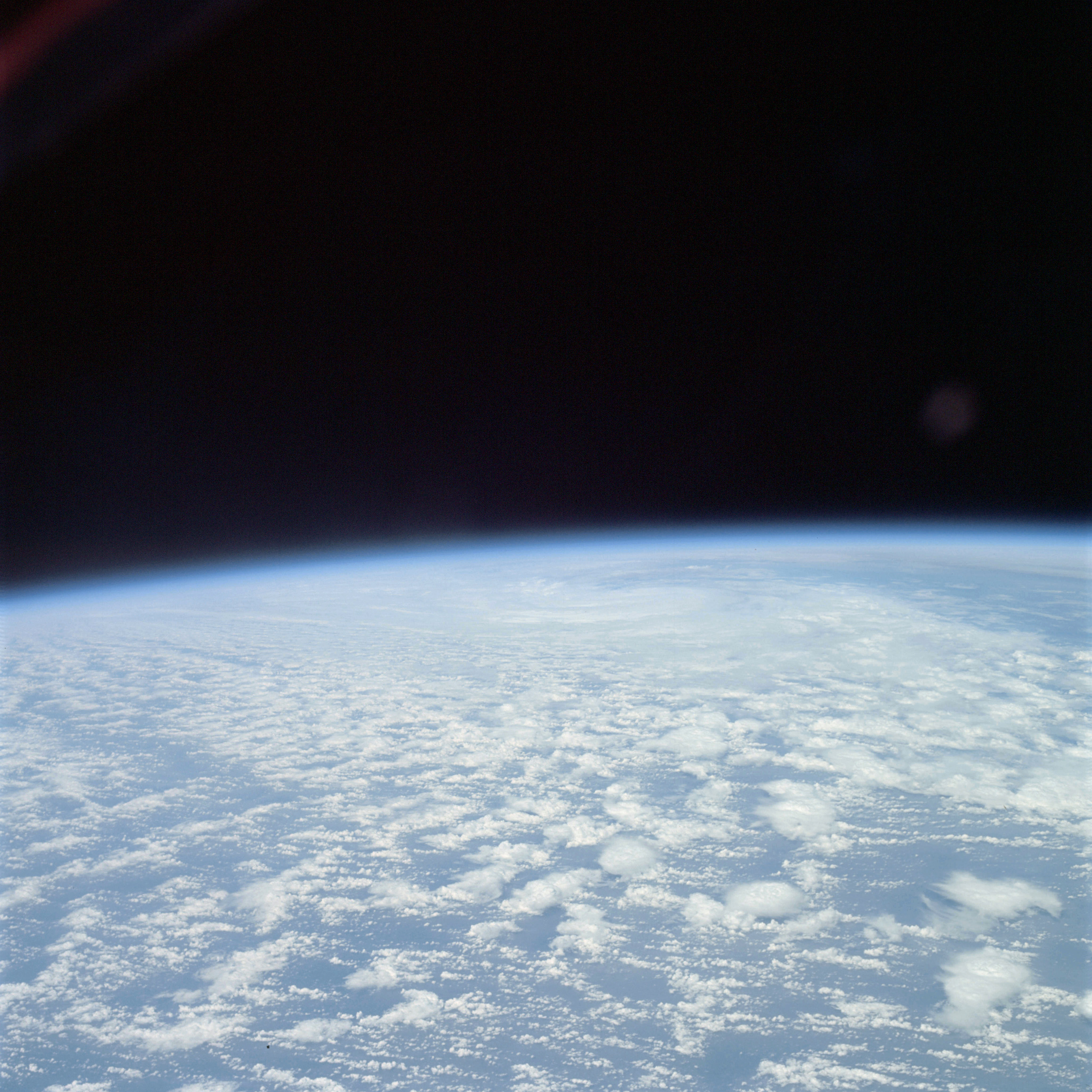 | AS09-21-3257 GEOGRAPHY/CARTOGRAPHY: Atlantic Ocean. METEOROLOGY: Cumulo-nimbus with anvils, cumulus congestus, cumulus humilis. Image credit: Image Science and Analysis Laboratory, NASA-Johnson Space Center. |
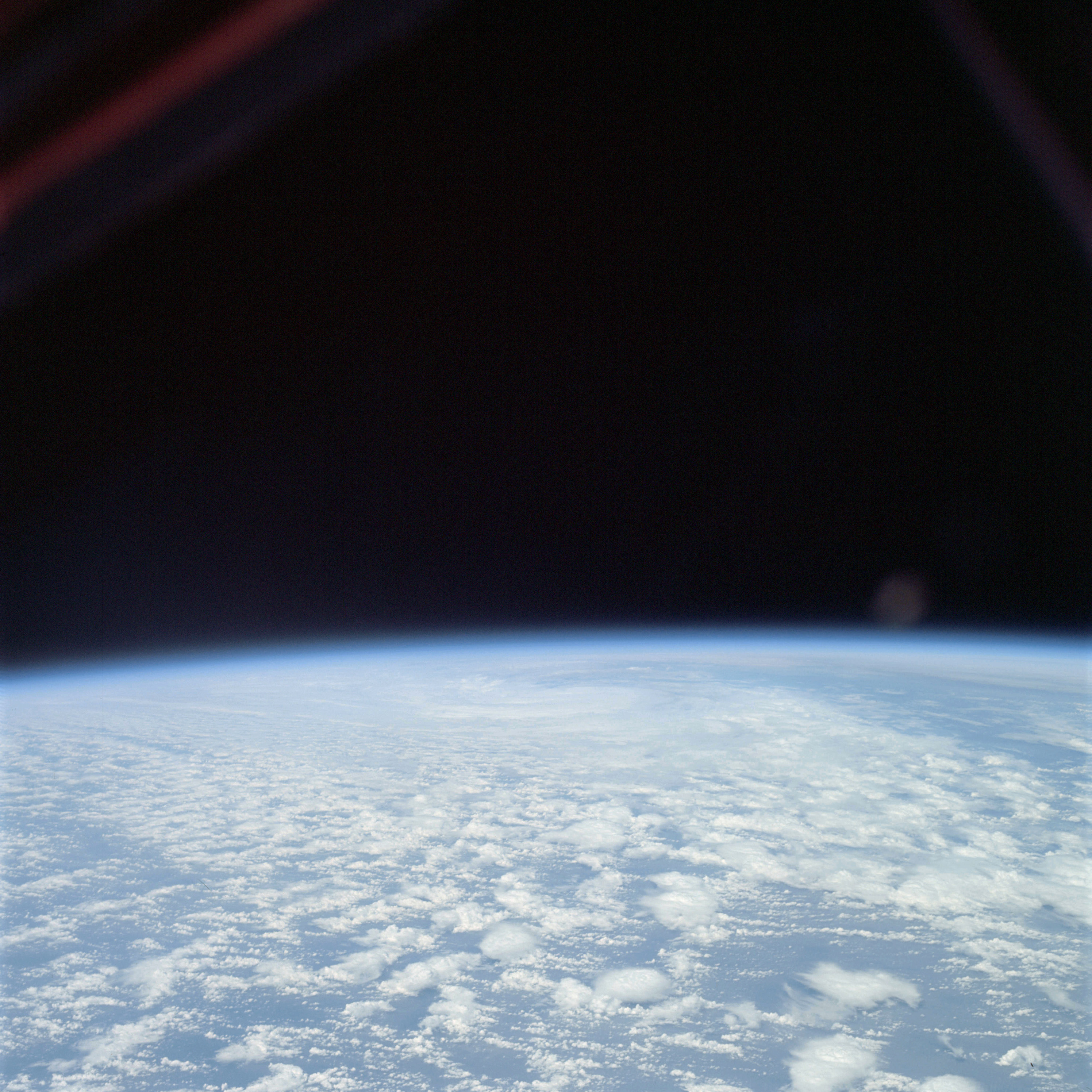 | AS09-21-3258 GEOGRAPHY/CARTOGRAPHY: Atlantic Ocean. METEOROLOGY: Cumulo-nimbus with anvils, cumulus congestus, cumulus humilis. Image credit: Image Science and Analysis Laboratory, NASA-Johnson Space Center. |
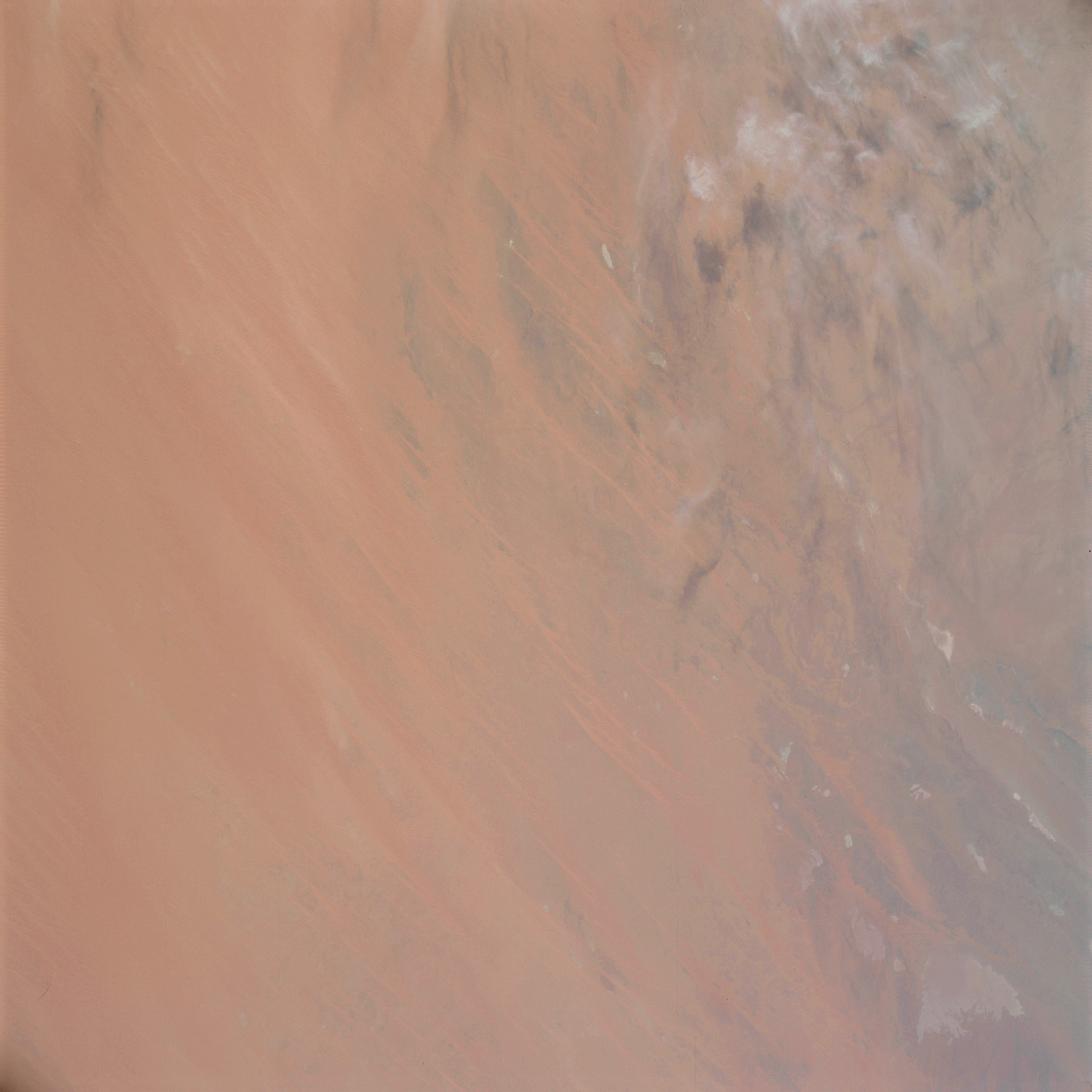 | AS09-21-3259 GEOGRAPHY/CARTOGRAPHY: Africa, Mauritania, Sahara Desert. GEOLOGY/HYDROLOGY: Erg plains and adjacent plateau with numerous sebkra's. METEOROLOGY: Cirrus fibratus Image credit: Image Science and Analysis Laboratory, NASA-Johnson Space Center. |
 | AS09-21-3260 GEOGRAPHY/CARTOGRAPHY: Africa, Mauritania, Sahara Desert. GEOLOGY/HYDROLOGY: Emerging plains of longitudinal dunes. Image credit: Image Science and Analysis Laboratory, NASA-Johnson Space Center. |
 | AS09-21-3261 GEOGRAPHY/CARTOGRAPHY: Africa, Mauritania, Sahara desert. GEOLOGY/HYDROLOGY: Erg plains of longitudinal dunes. Image credit: Image Science and Analysis Laboratory, NASA-Johnson Space Center. |
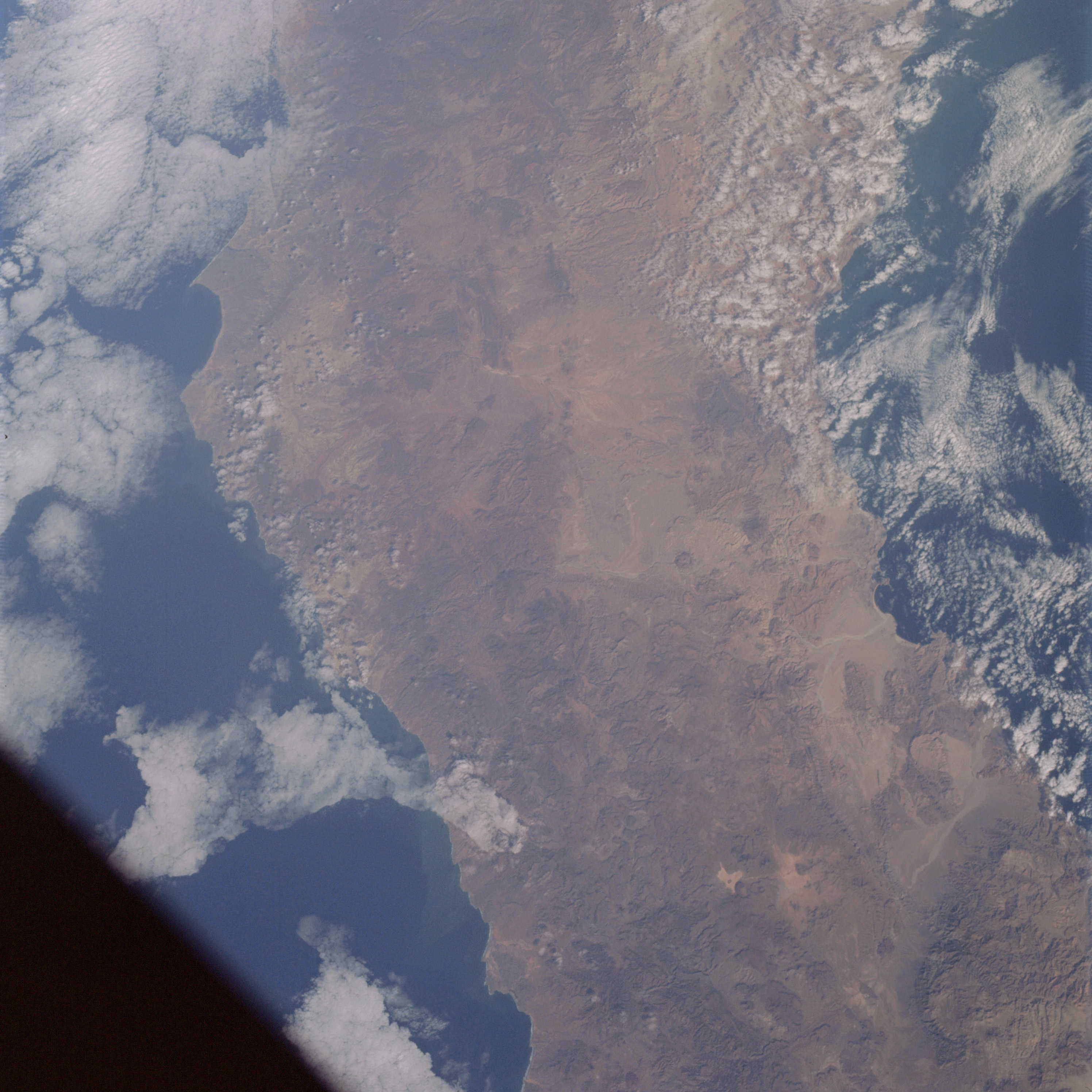 | AS09-21-3262 GEOGRAPHY/CARTOGRAPHY: Baja California, Points Baja, San Antonio, San Carlos and Blanca, Bays of the Rosary and San Luis Gonzaga, San Pedro Mountains, Villages of Rosario, San Fernando, and El Marmol. GEOLOGY/HYDROLOGY: Complex mountains and dissected plateau region of tertiary volcanics and alluvial deposits. FORESTRY: Scattered desert shrubform. METEOROLOGY: Cirro-cumulus, Strato-cumulus. OCEANOGRAPHY: Pacific Ocean, Gulf of California, depth variations visible along coastlines. Image credit: Image Science and Analysis Laboratory, NASA-Johnson Space Center. |
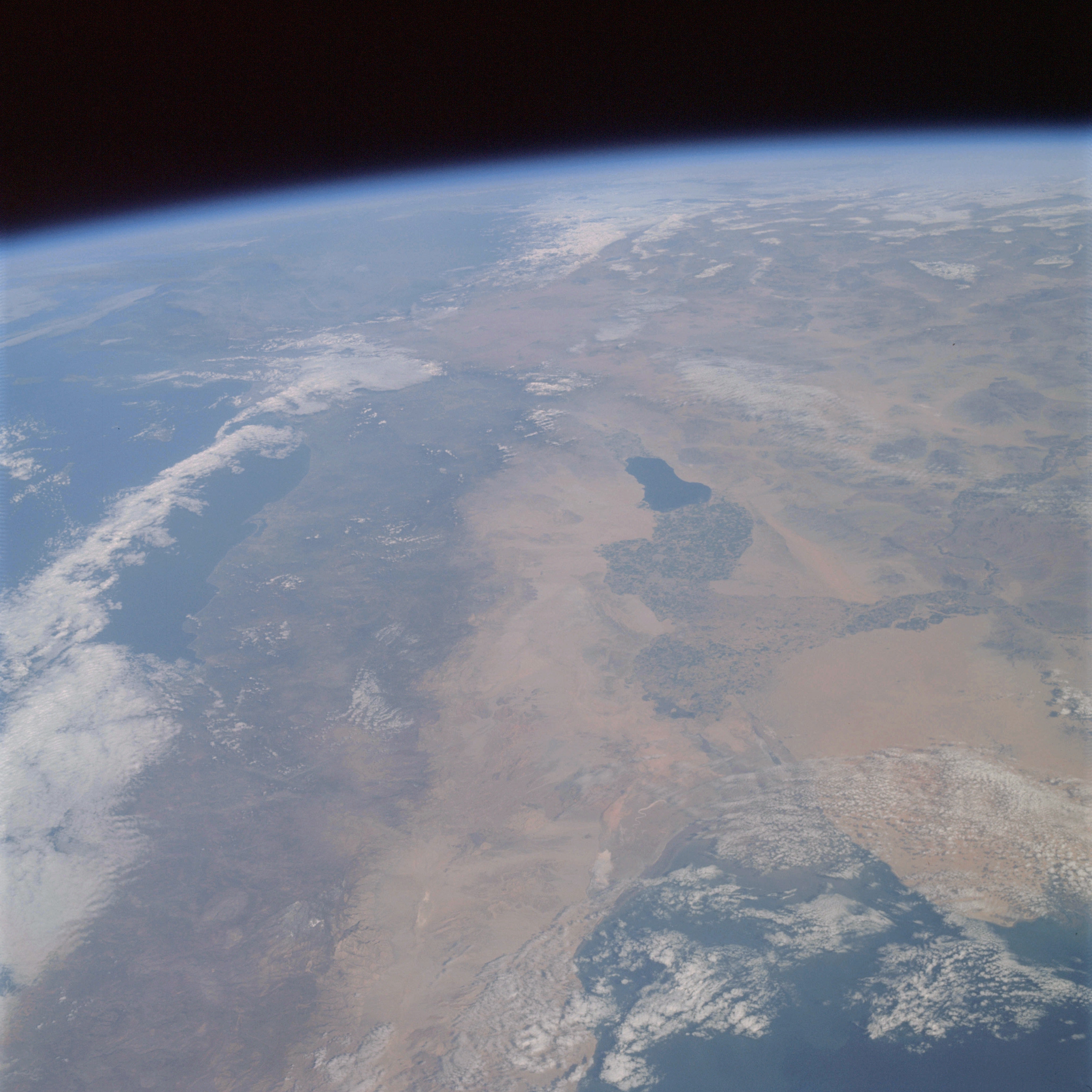 | AS09-21-3263 GEOGRAPHY/CARTOGRAPHY: United States, Mexico, Southern California, Salton Sea, Gulf of California, Colorado River delta, Chocolate and Juarez Mountains, Imperial Valley, City of San Diego, Towns of El Centro and Mexicali. GEOLOGY/HYDROLOGY: Complex mountains and dissected plateau region of tertiary volcanics and alluvial deposits in the valley and lower regions. AGRICULTURE: Extensive cultivation, very complex field pattern concentration. FORESTRY: Scattered desert shrubform with some coniferous forest stands at higher elevations. METEOROLOGY: Cirro-cumulus, Strato-cumulus, snow cover in Serra Nevada Mountains. OCEANOGRAPHY: Pacific Ocean, Gulf of California, possible depth variations in the Gulf of California. Image credit: Image Science and Analysis Laboratory, NASA-Johnson Space Center. |
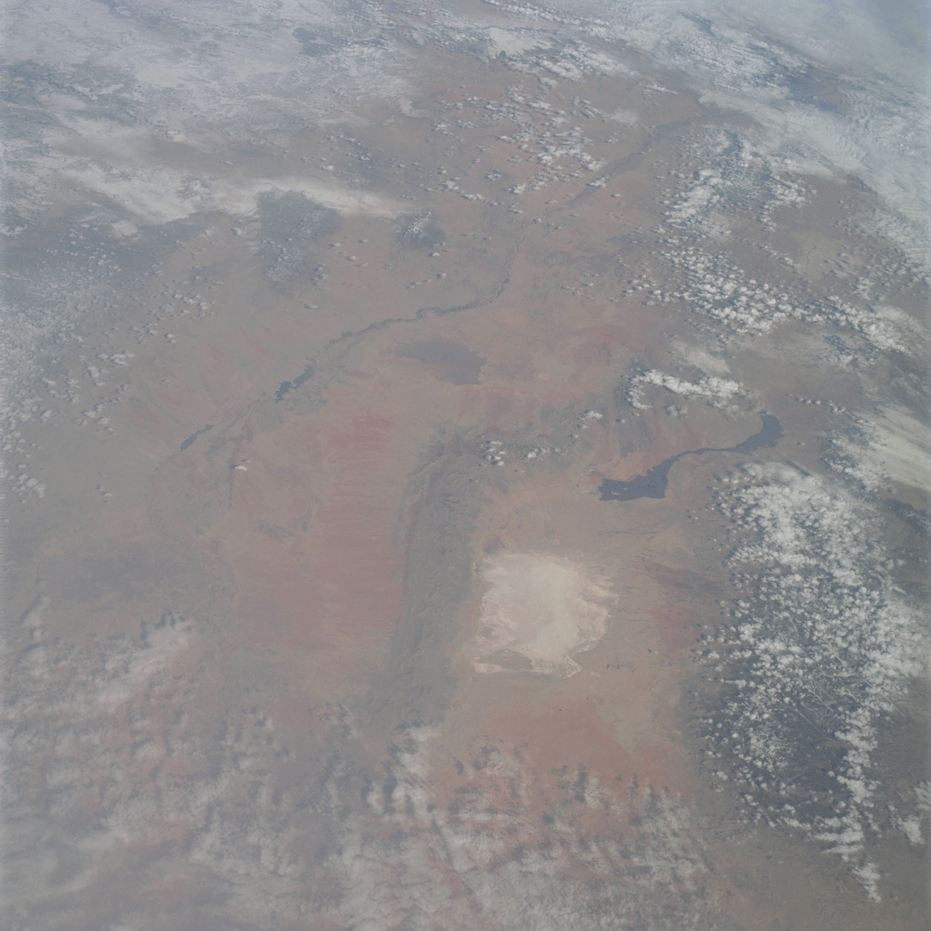 | AS09-21-3264 GEOGRAPHY/CARTOGRAPHY: United States, New Mexico, White Sands, Rio Grande, San Andres and Sacramento Mountains, Tularosa Valley, Town of Alamogordo. GEOLOGY/HYDROLOGY: Complex igneous and sedimentary mountains with quaternary alluvium in the lower plains. FORESTRY: Scattered shrubform with mixed coniferous stands on higher elevations. METEOROLOGY: Cirro-cumulus, alto-cumulus. Image credit: Image Science and Analysis Laboratory, NASA-Johnson Space Center. |
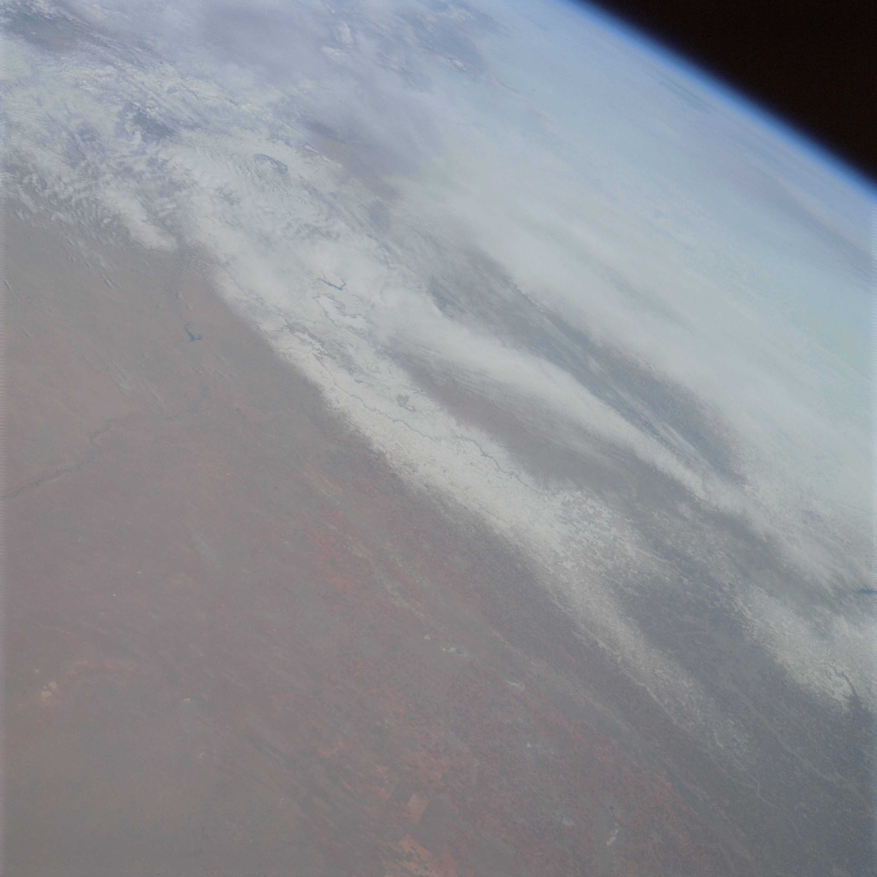 | AS09-21-3265 GEOGRAPHY/CARTOGRAPHY: United States, New Mexico, Texas, Pecos River, Alamogordo Reservoir, Estacado Plains. GEOLOGY /HYDROLOGY: Central plains region of sedimentary beds. AGRICULTURE: Extensive cultivation intermixed with range lands. FORESTRY: Scattered low shrubform and grass. METEOROLOGY: Nimbo-stratus, snow cover in Texas Panhandle region. Image credit: Image Science and Analysis Laboratory, NASA-Johnson Space Center. |
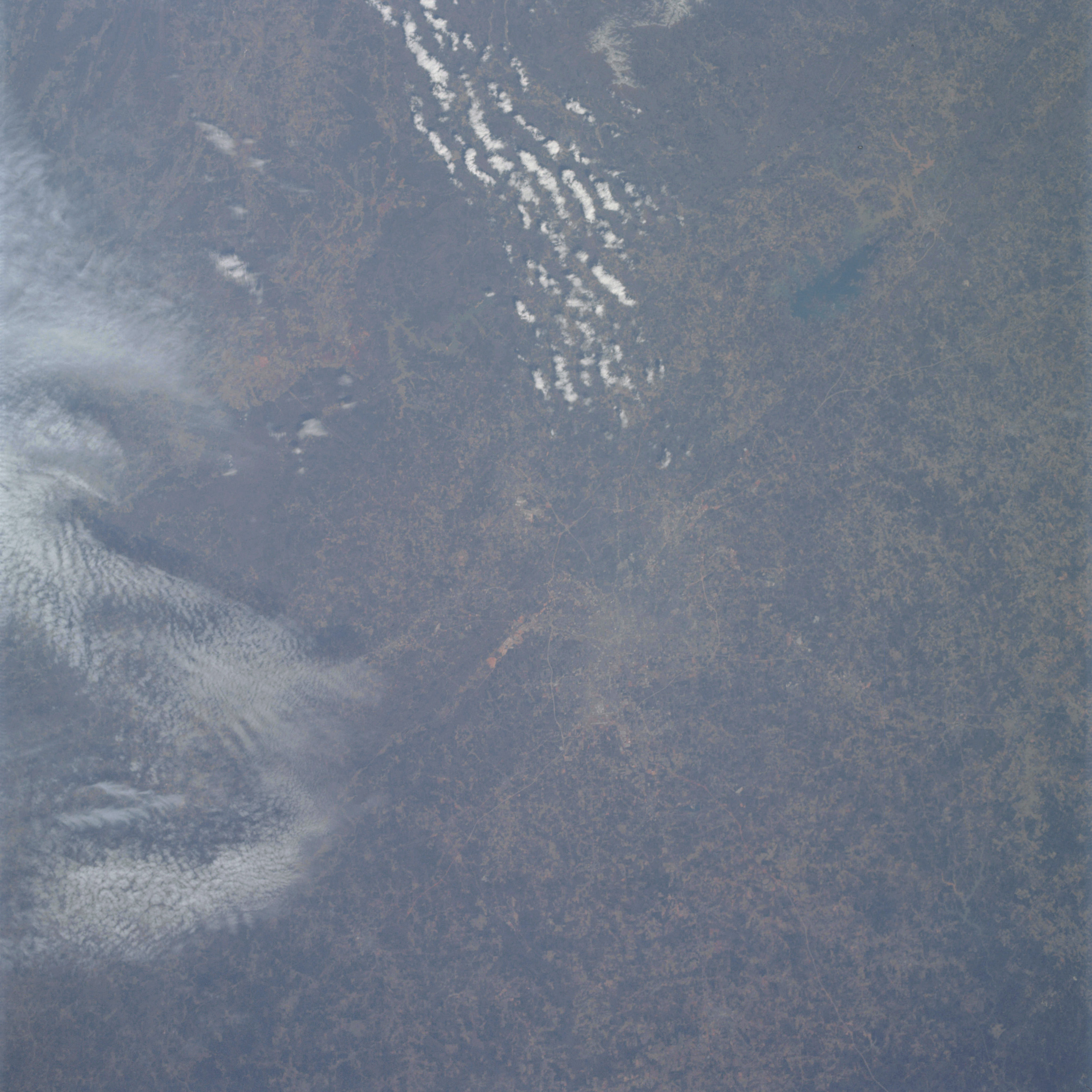 | AS09-21-3266 GEOGRAPHY/CARTOGRAPHY: United States, Georgia, City of Atlanta. GEOLOGY/HYDROLOGY: Boundary of the Piedmont complex mountain region and the sedimentary coastal plain. AGRICULTURE: Scattered, but intense cultivation patterns. FORESTRY: Mixed pine/hardwood. METEOROLOGY: Cirro-cumulus, cumulus humilis. Image credit: Image Science and Analysis Laboratory, NASA-Johnson Space Center. |
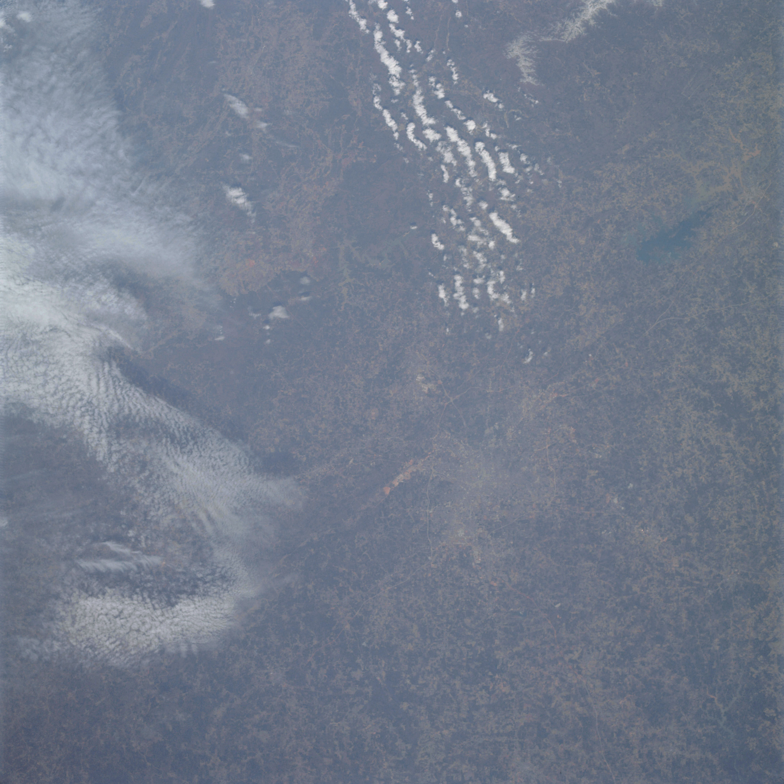 | AS09-21-3267 GEOGRAPHY/CARTOGRAPHY: United States, Georgia. GEOLOGY/HYDROLOGY: Sedimentary coastal plain region. AGRICULTURE: Scattered, irregular shaped field patterns, intense cultivation. FORESTRY: Mixed pine/hardwood. METEOROLOGY: Cirro-cumulus, cumulus humilis. Image credit: Image Science and Analysis Laboratory, NASA-Johnson Space Center. |
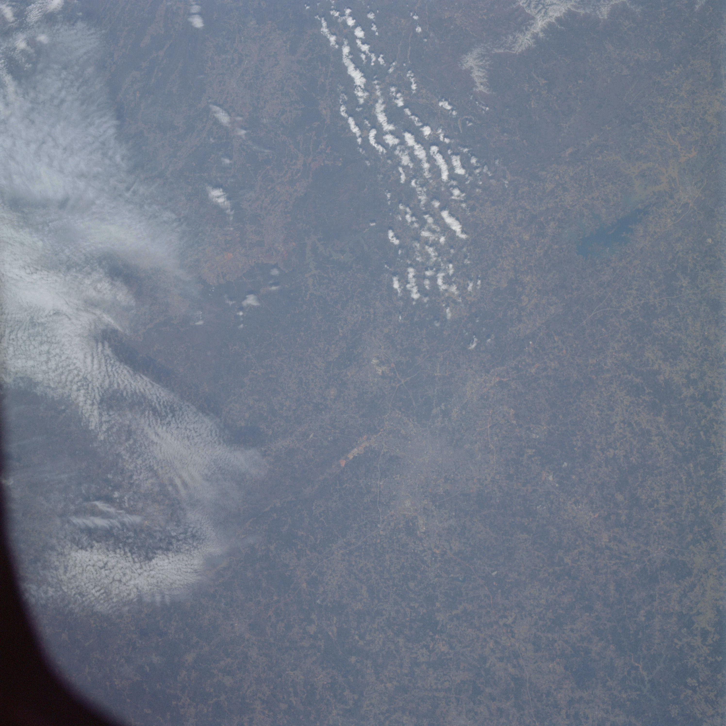 | AS09-21-3268 GEOGRAPHY/CARTOGRAPHY: United States, Georgia, City of Atlanta. GEOLOGY/HYDROLOGY: Sedimentary coastal plain region. AGRICULTURE: Intense cultivation, field patterns scattered and irregular in shape. FORESTRY: Mixed pine/hardwood with dense hardwood bottomland. METEOROLOGY: Cirro-cumulus, cumulus humilis. Image credit: Image Science and Analysis Laboratory, NASA-Johnson Space Center. |
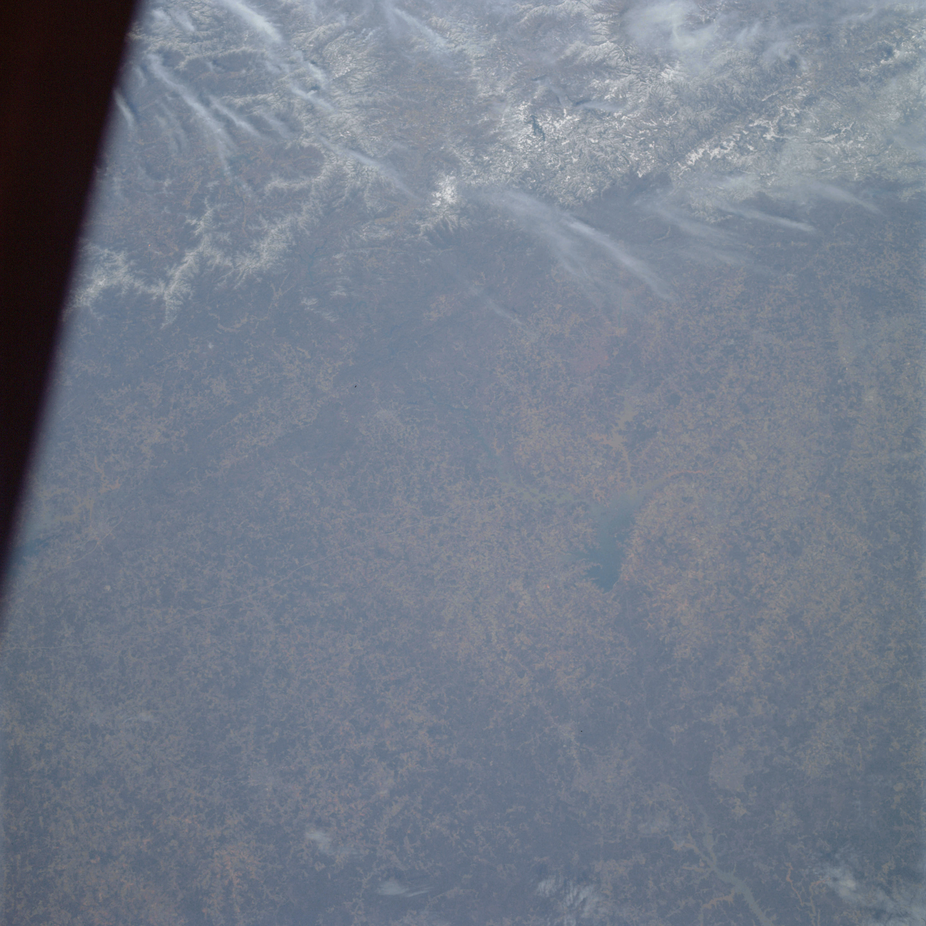 | AS09-21-3269 GEOGRAPHY/CARTOGRAPHY: United States, South Carolina, Georgia, Hartwell Reservoir, Savannah River, Blue Ridge Mountains, Cities of Anderson and Greenville. GEOLOGY/HYDROLOGY: Atlantic sedimentary coastal plain adjacent to the complex mountains of the Piedmont and Blue Ridge province. AGRICULTURE: Intense cultivation, extensive irregular shaped field patterns. FORESTRY: Mixed pine/hardwood with dense hardwood bottomlands. METEOROLOGY: Cirrus fibratus, snow cover in mountain regions. Image credit: Image Science and Analysis Laboratory, NASA-Johnson Space Center. |
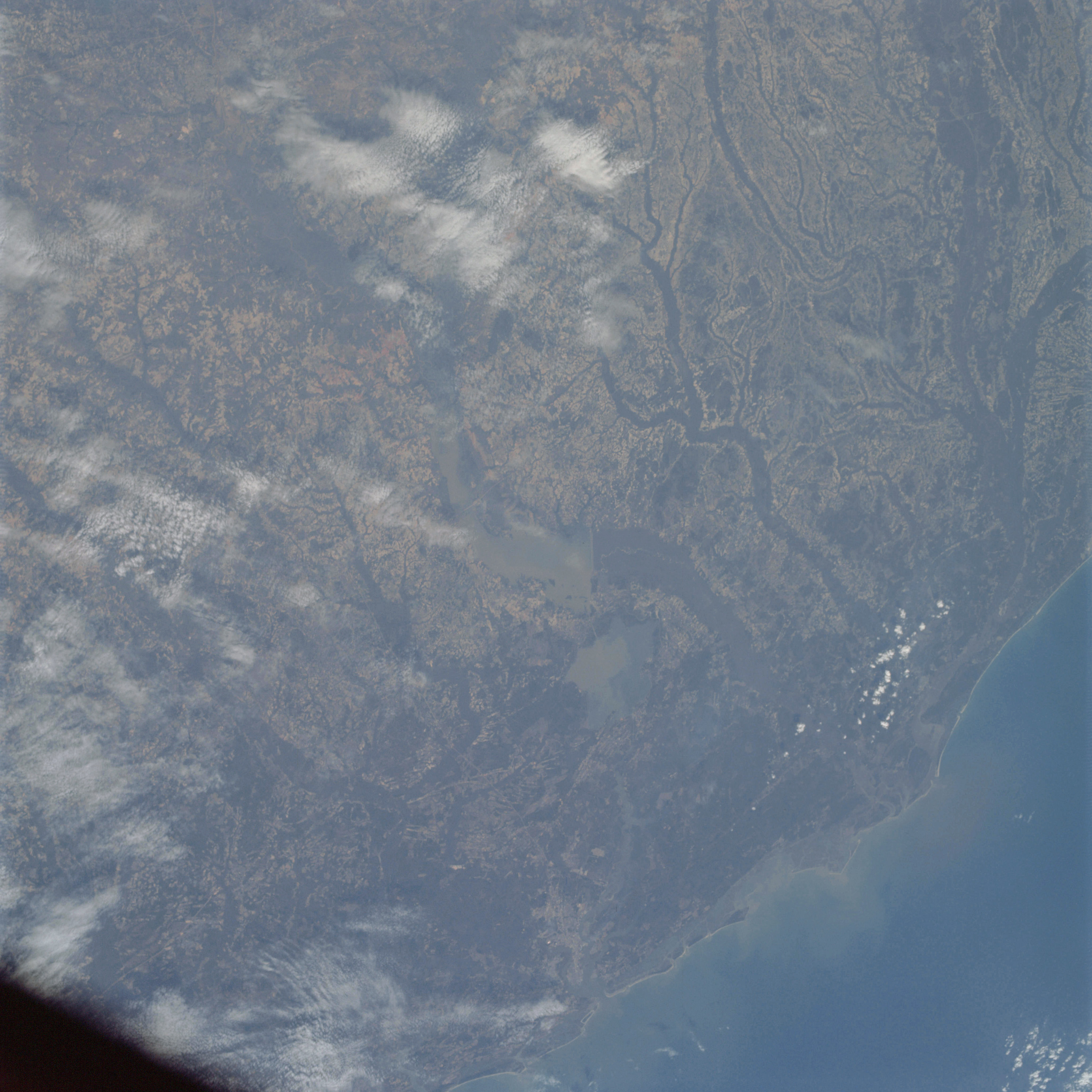 | AS09-21-3270 GEOGRAPHY/CARTOGRAPHY: United States, South Carolina, Lakes Moultrie and Marion, Cape Romain, Bull Bay, City of Charleston, Towns of Georgetown and Orangeburg GEOLOGY/HYDROLOGY: Eastward dipping sedimentary coastal plain show typical consequent dendritic drainage. AGRICULTURE: Intense cultivation, extensive, irregular field patterns. FORESTRY: Mixed, pine/hardwood with dense hardwood bottomland and coastal associated grasses. METEOROLOGY: Cirro-cumulus. OCEANOGRAPHY: Atlantic Ocean, sediment in suspension indicate a southerly current flow in the nearshore zone. Image credit: Image Science and Analysis Laboratory, NASA-Johnson Space Center. |
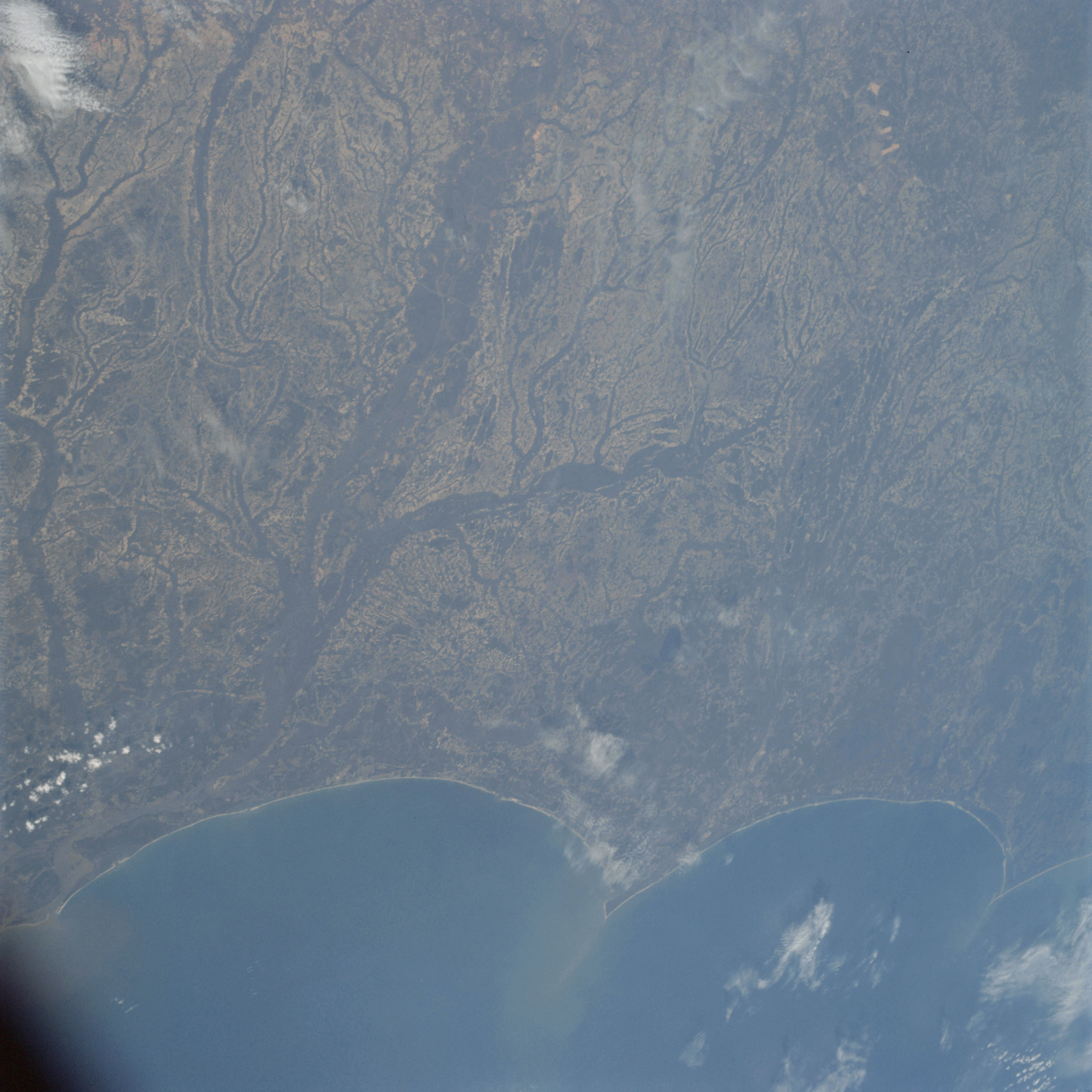 | AS09-21-3271 GEOGRAPHY/CARTOGRAPHY: United States, North Carolina, Capes Lookout and Fear, City of Wilmington, Towns of Georgetown, Myrtle Beach, Jacksonville, and Morehead City. GEOLOGY/HYDROLOGY: Sedimentary coastal plain with a dendritic drainage system. AGRICULTURE: Intense, scattered irregular field patterns. FORESTRY: Mixed pine/hardwood with dense hardwood bottomland and coastal grasses. METEOROLOGY: Stratus, Cirro-cumulus, cumulus humilis. OCEANOGRAPHY: Atlantic Ocean, seaward moving sediment plumes from capes. Image credit: Image Science and Analysis Laboratory, NASA-Johnson Space Center. |
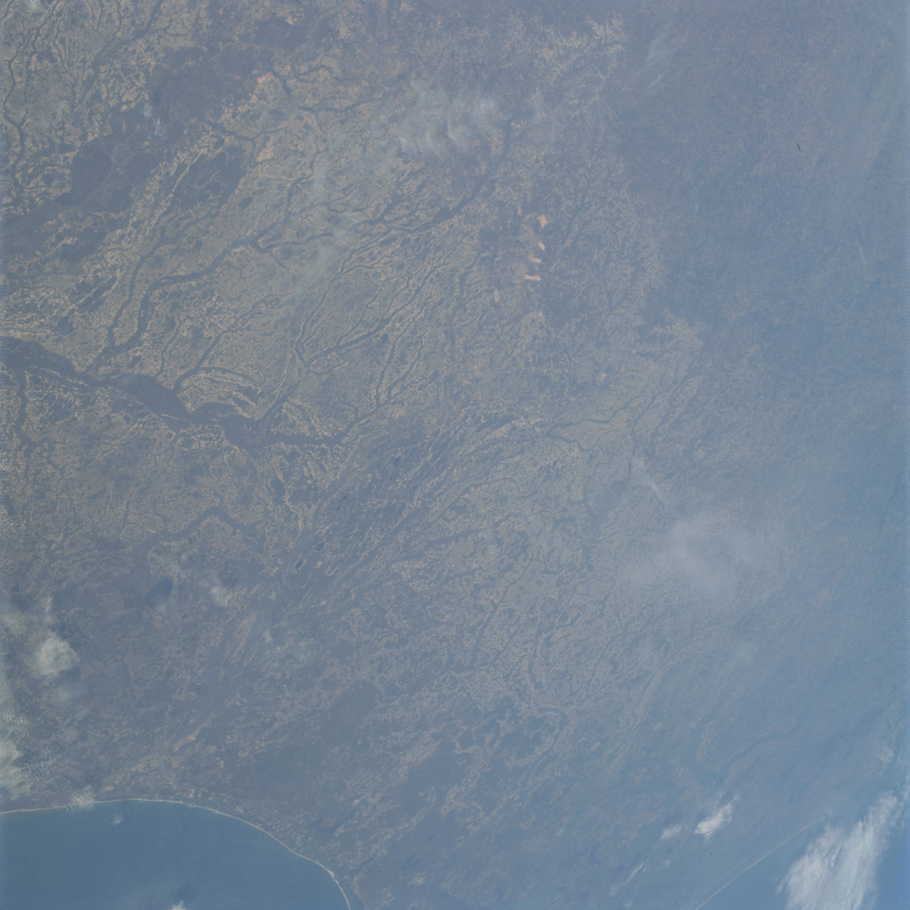 | AS09-21-3272 GEOGRAPHY /CARTOGRAPHY: United States, North Carolina, South Carolina, Neuse River, Towns of New Bern, Kinston, Washington and Greenville. GEOLOGY/HYDROLOGY: Coastal plain deposit and dendritic drainage system. AGRICULTURE: Intense cultivation, extensive, irregular field patterns. FORESTRY: Mixed pine/hardwood uplands with dense hardwood bottomlands and coastal grasses. METEOROLOGY: Cirrus. OCEANOGRAPHY: Atlantic Ocean, some tonal variations in nearshore zone. Image credit: Image Science and Analysis Laboratory, NASA-Johnson Space Center. |
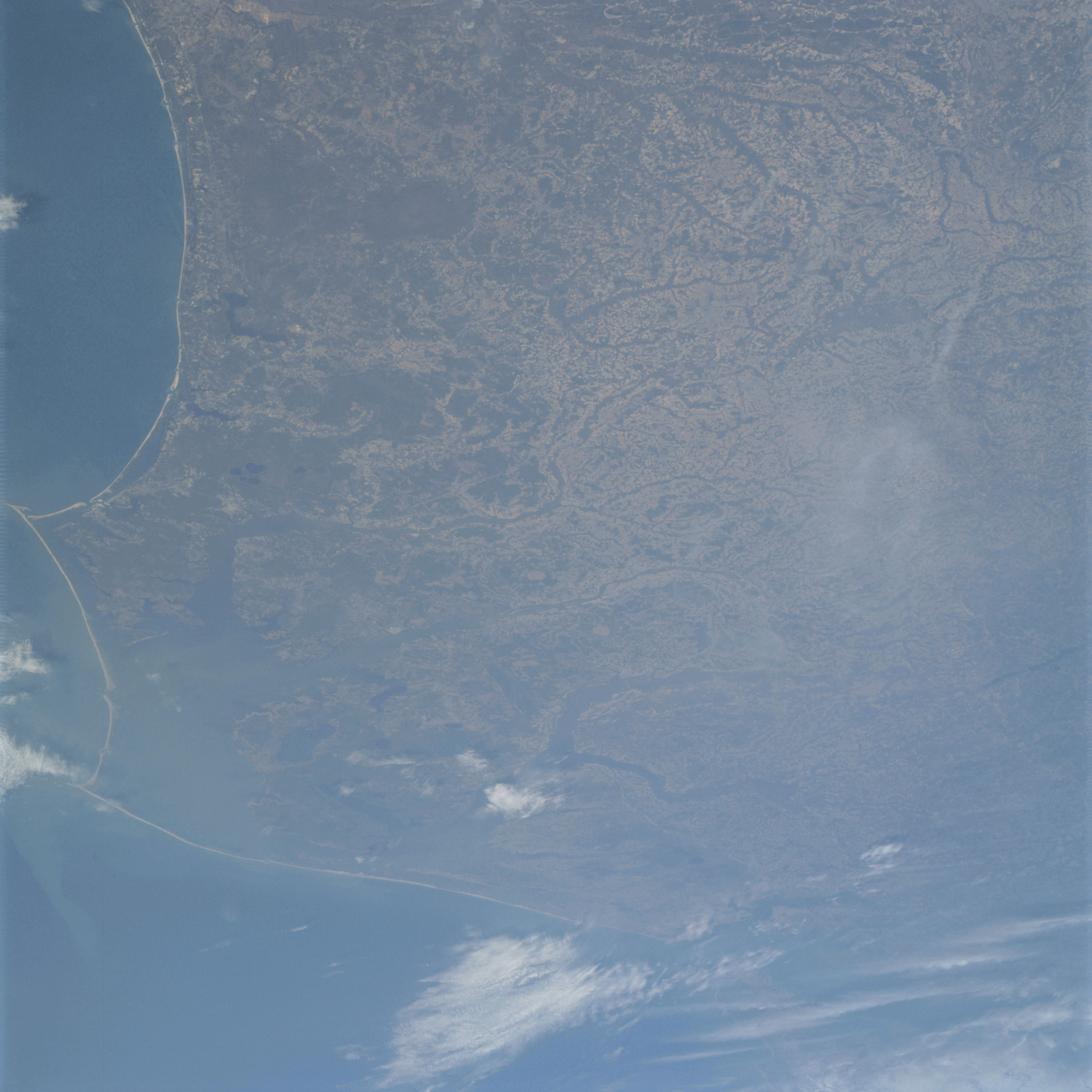 | AS09-21-3273 GEOGRAPHY CARTOGRAPHY: United States, North Carolina, Virginia, Capes Lookout, Hatteras and Henry, Pamilco and Albemarle Sounds, Cities of Norfolk, Virginia Beach, Rocky Mount, and Goldsboro. AGRICULTURE: Intense cultivation, irregular shaped field patterns. ‘FORESTRY: Mixed pine/hardwood uplands with dense hardwood bottomlands and coastal grasses. METEOROLOGY: Stratus, cirro-cumulus. OCEANOGRAPHY: Atlantic Ocean, some tonal variations visible. Image credit: Image Science and Analysis Laboratory, NASA-Johnson Space Center. |
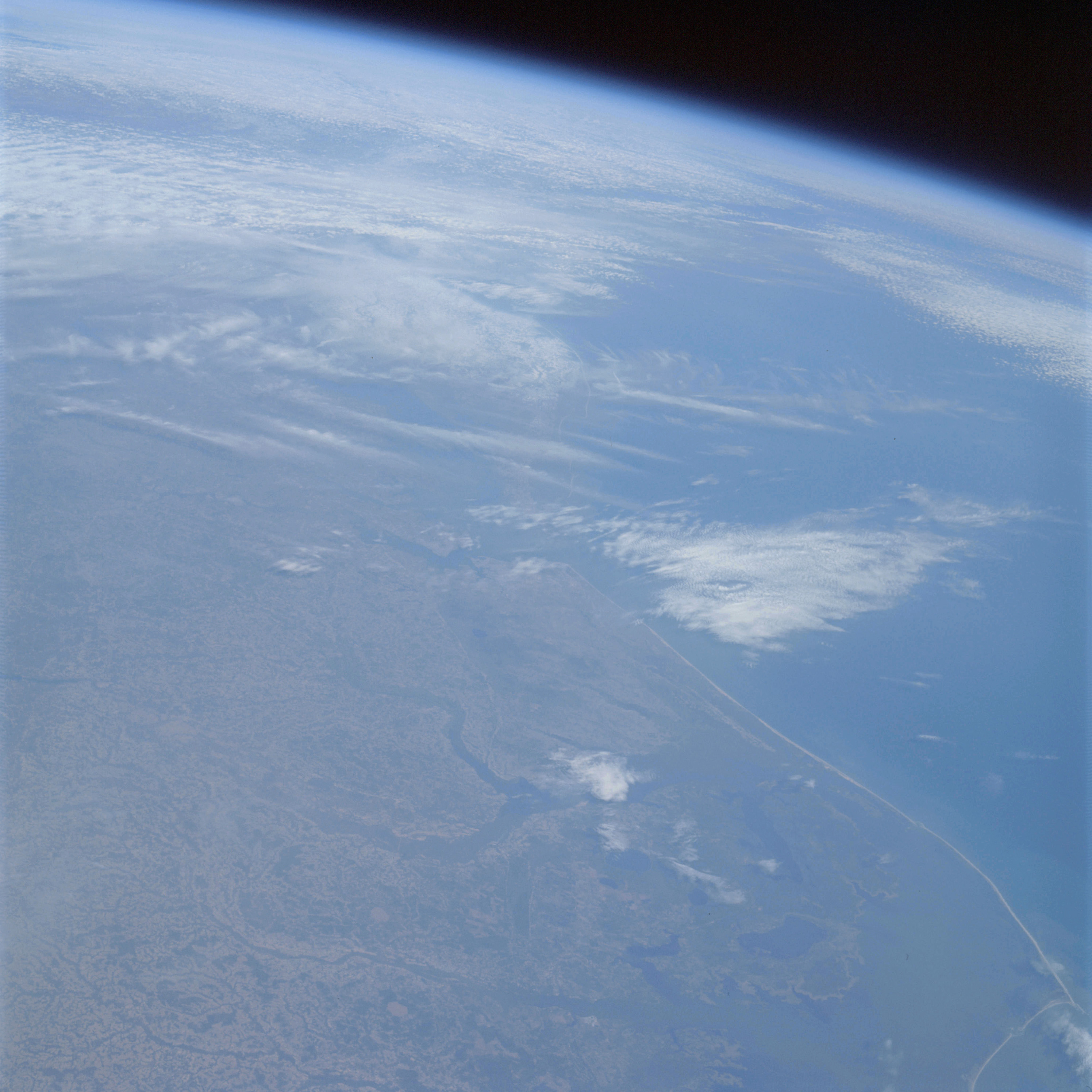 | AS09-21-3274 GEOGRAPHY/CARTOGRAPHY: United States, North Carolina, Virginia, Delmarva Peninsula, Chesapeake Bay, Albemarle Sound, James River, Cities of Norfolk, Portsmouth, Newport News, Virginia Beach, Suffolk, and Elizabeth City. GEOLOGY/HYDROLOGY: Atlantic coastal plain with a shoreline of emergence followed by submergence and dendritic drainage. AGRICULTURE: Intense cultivation, irregular shaped field patterns. FORESTRY: Mixed pine/hardwood uplands with dense hardwood bottomlands and coastal grasslands. METEOROLOGY: Cirro-cumulus, stratus, alto-stratus, snow cover in northern part of the Delmarva Peninsula. Image credit: Image Science and Analysis Laboratory, NASA-Johnson Space Center. |
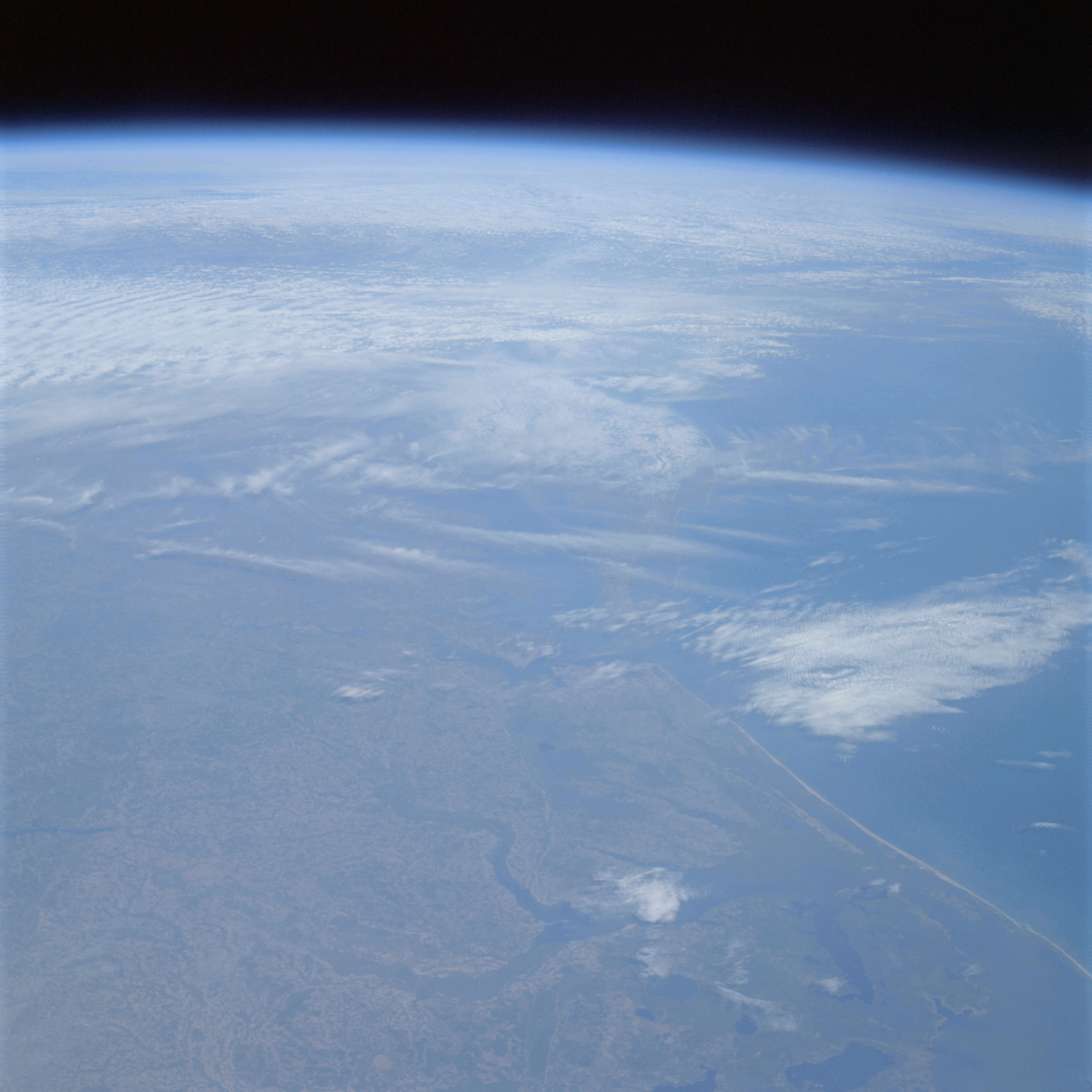 | AS09-21-3275 GEOGRAPHY/CARTOGRAPHY: United States, North Carolina, Virginia, Delmarva Peninsula, Chesapeake Bay, Albemarle Sound, James River, Cities of Norfolk, Portsmouth, Newport News, Virginia Beach, Suffolk, and Elizabeth City. GEOLOGY/HYDROLOGY: Coastal plain region with a compound shoreline, lagoon, sandbars and dendritic drainage. AGRICULTURE: Extensive cultivation, irregular shaped field patterns. FORESTRY: Mixed pine/hardwood with dense hardwood bottomlands and coastal grasses. METEOROLOGY: Cirro-cumulus, stratus, alto-stratus, snow cover in northern part of the Delmarva Peninsula. OCEANOGRAPHY: Atlantic Ocean, some tonal variation visible, possible depth differences. Image credit: Image Science and Analysis Laboratory, NASA-Johnson Space Center. |
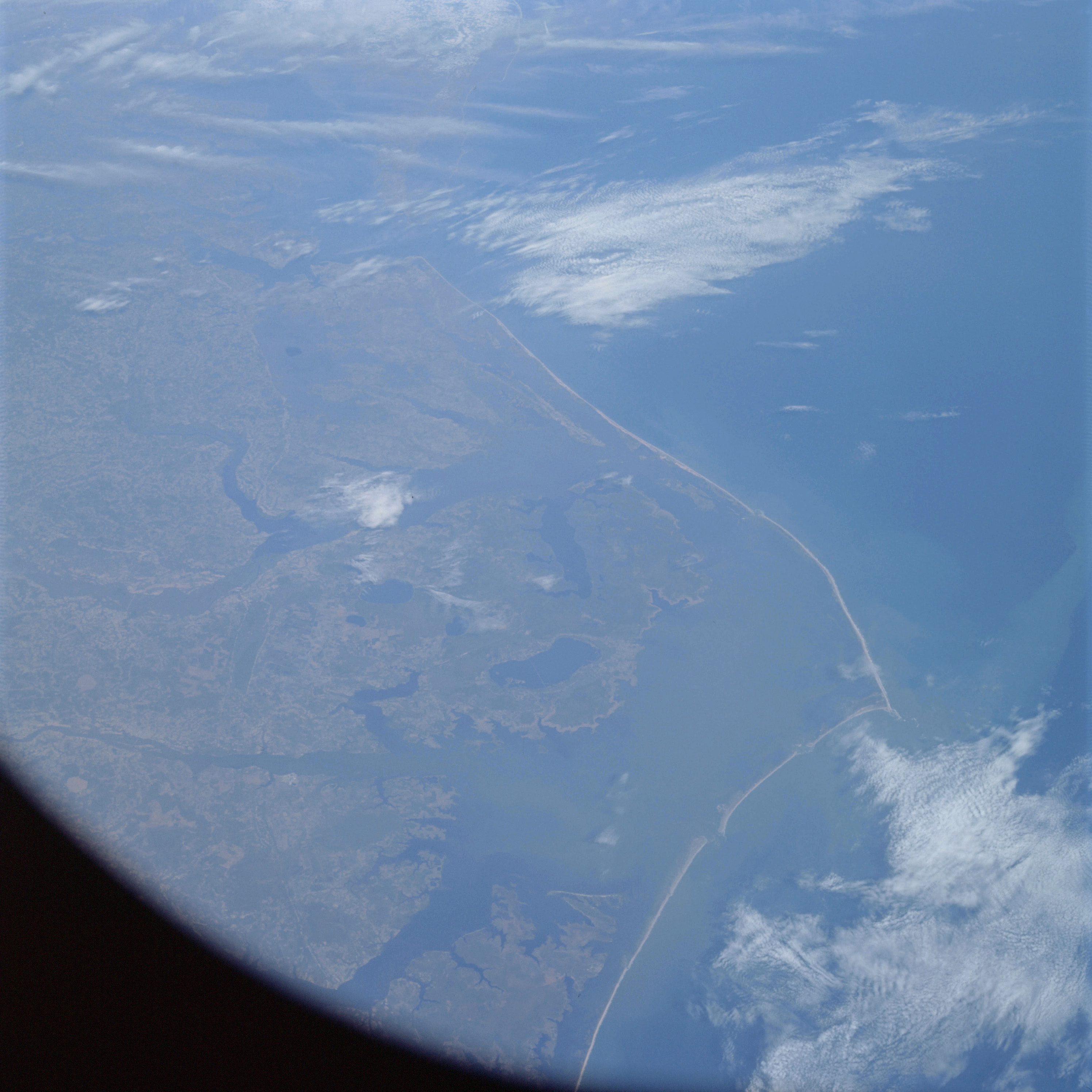 | AS09-21-3276 GEOGRAPHY/CARTOGRAPHY: United States, North Carolina, Virginia, Capes Henry and Hatteras, Pamlico and Albemarle Sounds, Chesapeake Bay, Cities of Norfolk, Portsmouth, Virginia Beach, and Elizabeth City GEOLOGY/HYDROLOGY: Coastal plain, dendritic drainage compound shoreline of sandbars and lagoons. AGRICULTURE: Extensive cultivation, irregular shaped field patterns. FORESTRY: Mixed pine/hardwood, with dense hardwood bottomland and coastal grasses. METEOROLOGY: Cirro-cumulus, stratus. Image credit: Image Science and Analysis Laboratory, NASA-Johnson Space Center. |
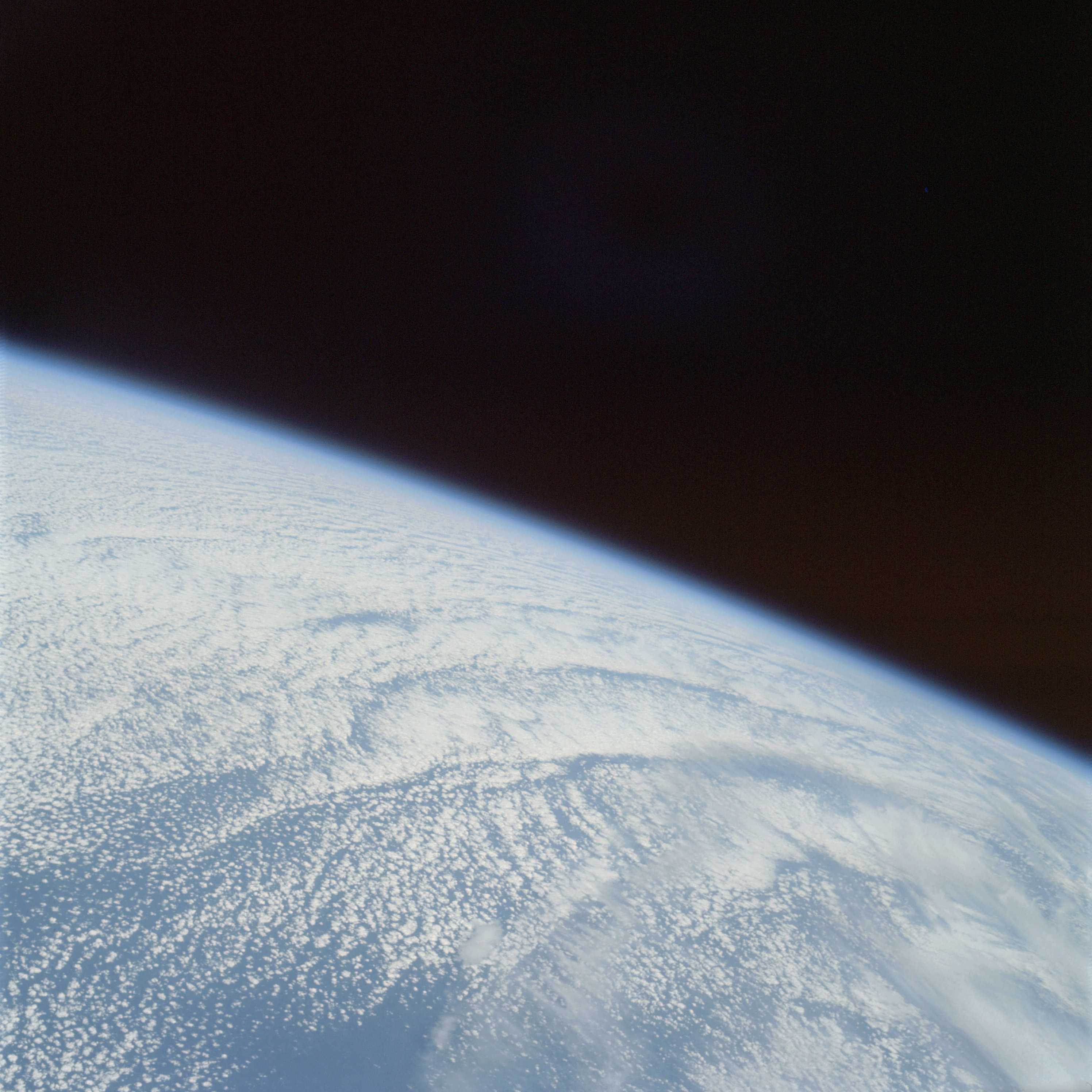 | AS09-21-3277 GEOGRAPHY/CARTOGRAPHY: Atlantic Ocean. METEOROLOGY: Cirrus fibratus, alto-cumulus. Image credit: Image Science and Analysis Laboratory, NASA-Johnson Space Center. |
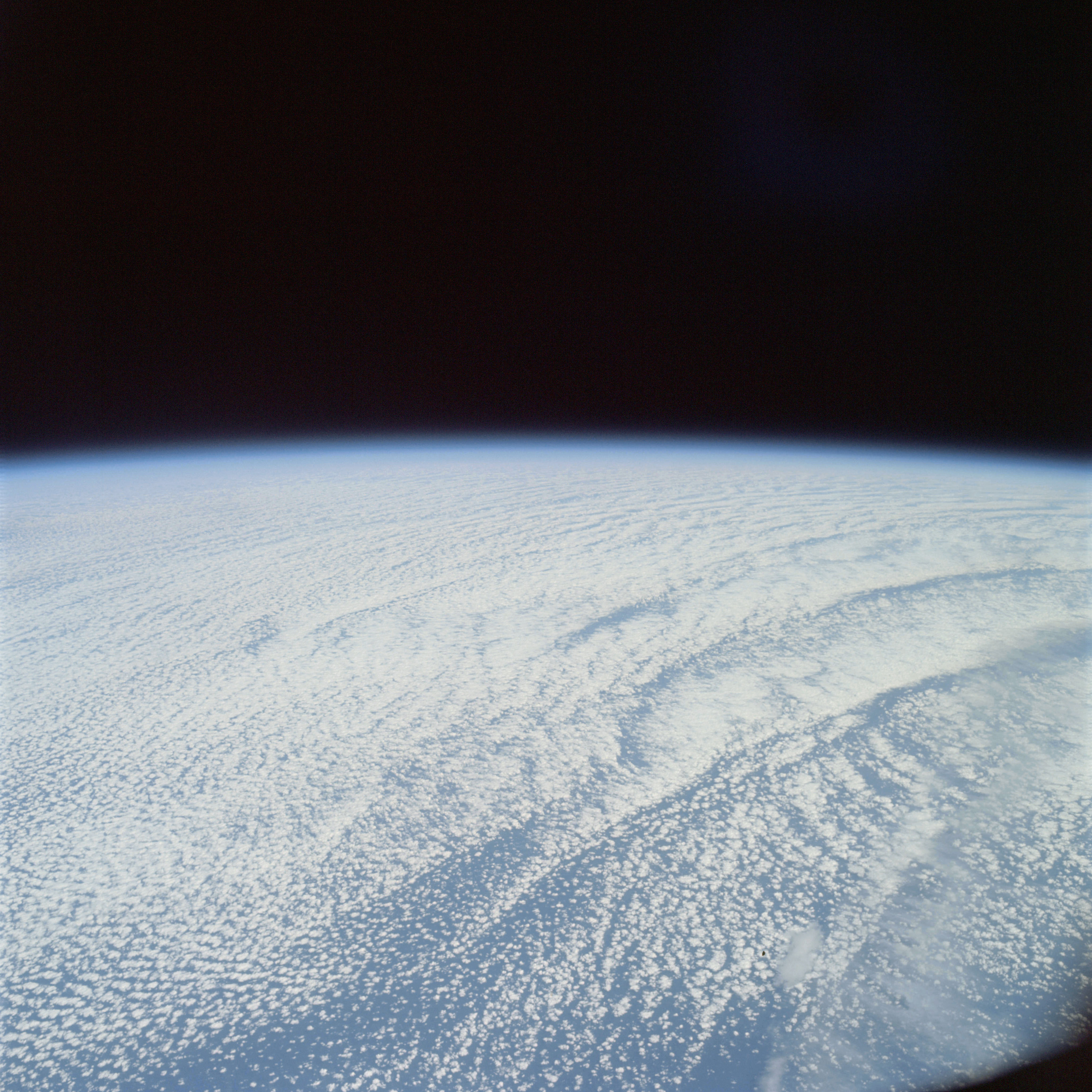 | AS09-21-3278 GEOGRAPHY/CARTOGRAPHY: Atlantic Ocean. METEOROLOGY: Cirrus fibratus, alto-cumulus. Image credit: Image Science and Analysis Laboratory, NASA-Johnson Space Center. |
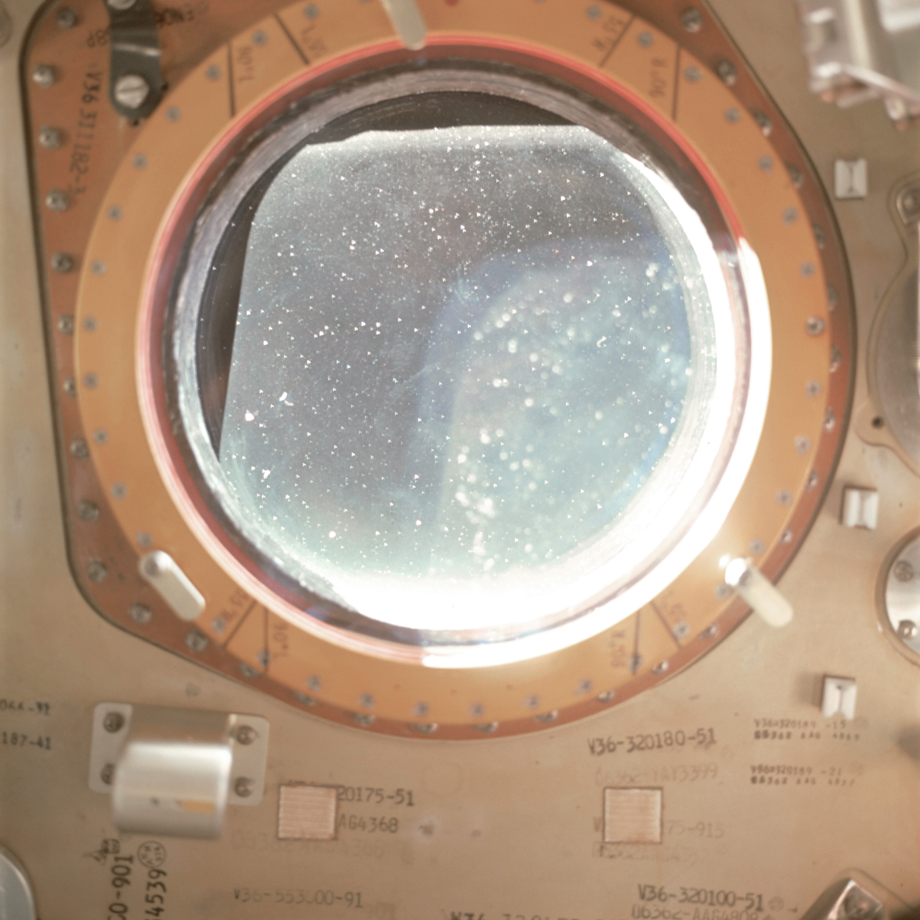 | AS09-21-3279 Docking hatch window Image credit: Image Science and Analysis Laboratory, NASA-Johnson Space Center. |
 | AS09-21-3280 Docking hatch window Image credit: Image Science and Analysis Laboratory, NASA-Johnson Space Center. |
 | AS09-21-3281 Docking hatch window Image credit: Image Science and Analysis Laboratory, NASA-Johnson Space Center. |
 | AS09-21-3281A Docking hatch window Image credit: Image Science and Analysis Laboratory, NASA-Johnson Space Center. |
 | AS09-21-3281B Docking hatch window Image credit: Image Science and Analysis Laboratory, NASA-Johnson Space Center. |
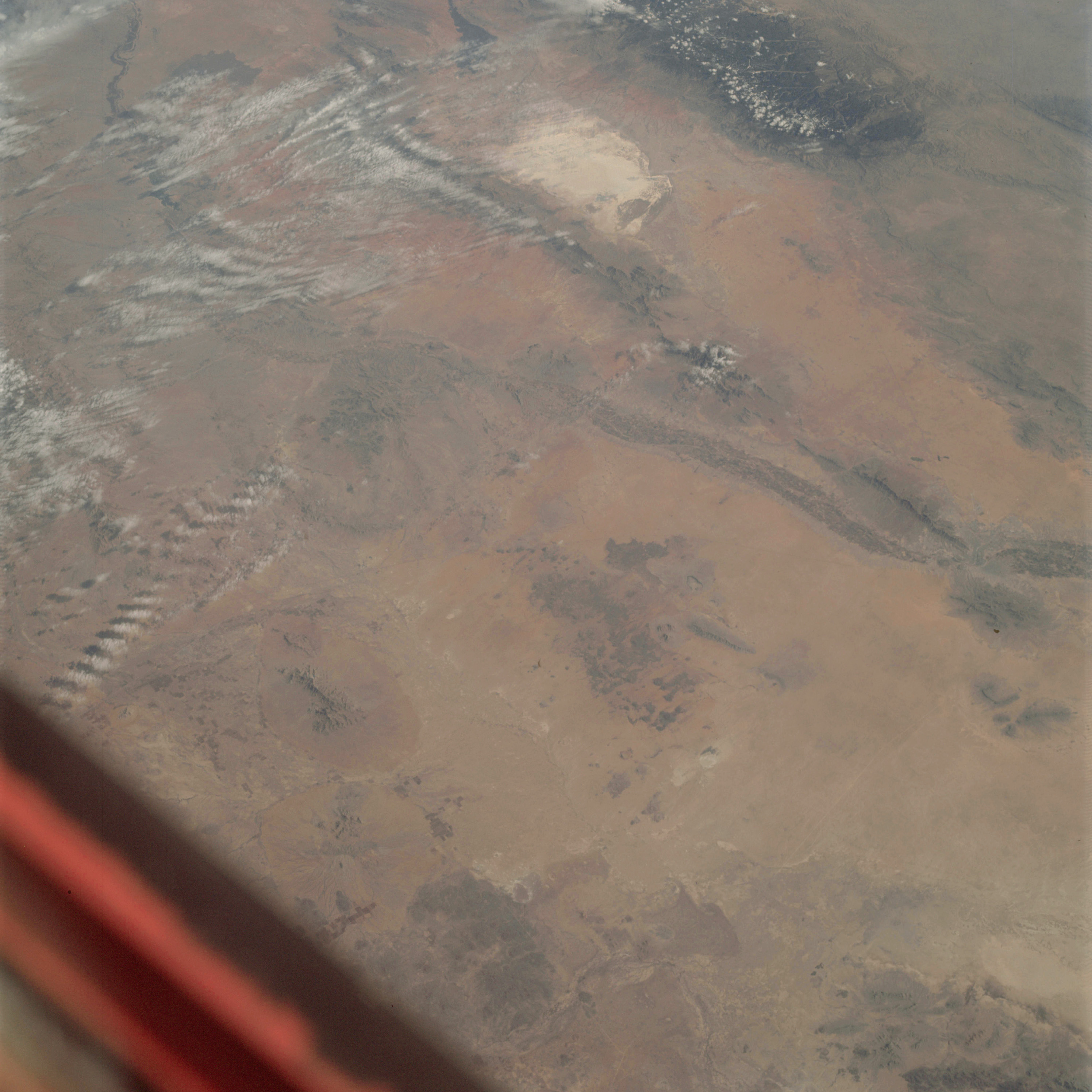 | AS09-21-3282 GEOGRAPHY/CARTOGRAPHY: United States, Mexico, New Mexico, Texas, White Sands, San Andres and Sacramento Mountains, Rio Grande River Valley, Tularosa Valley, Cities of El Paso, Ciudad, Juarez, and la Cruces. GEOLOGY/HYDROLOGY: Basin and Range province, complex mountains, tertiary volcanics, alluvial deposits. AGRICULTURE: Very heavy cultivation along Rio Grande River. FORESTRY: Desert shrubform with some commercial species at higher elevations. METEOROLOGY: Cirro-cumulus, cumulus humilis. Image credit: Image Science and Analysis Laboratory, NASA-Johnson Space Center. |
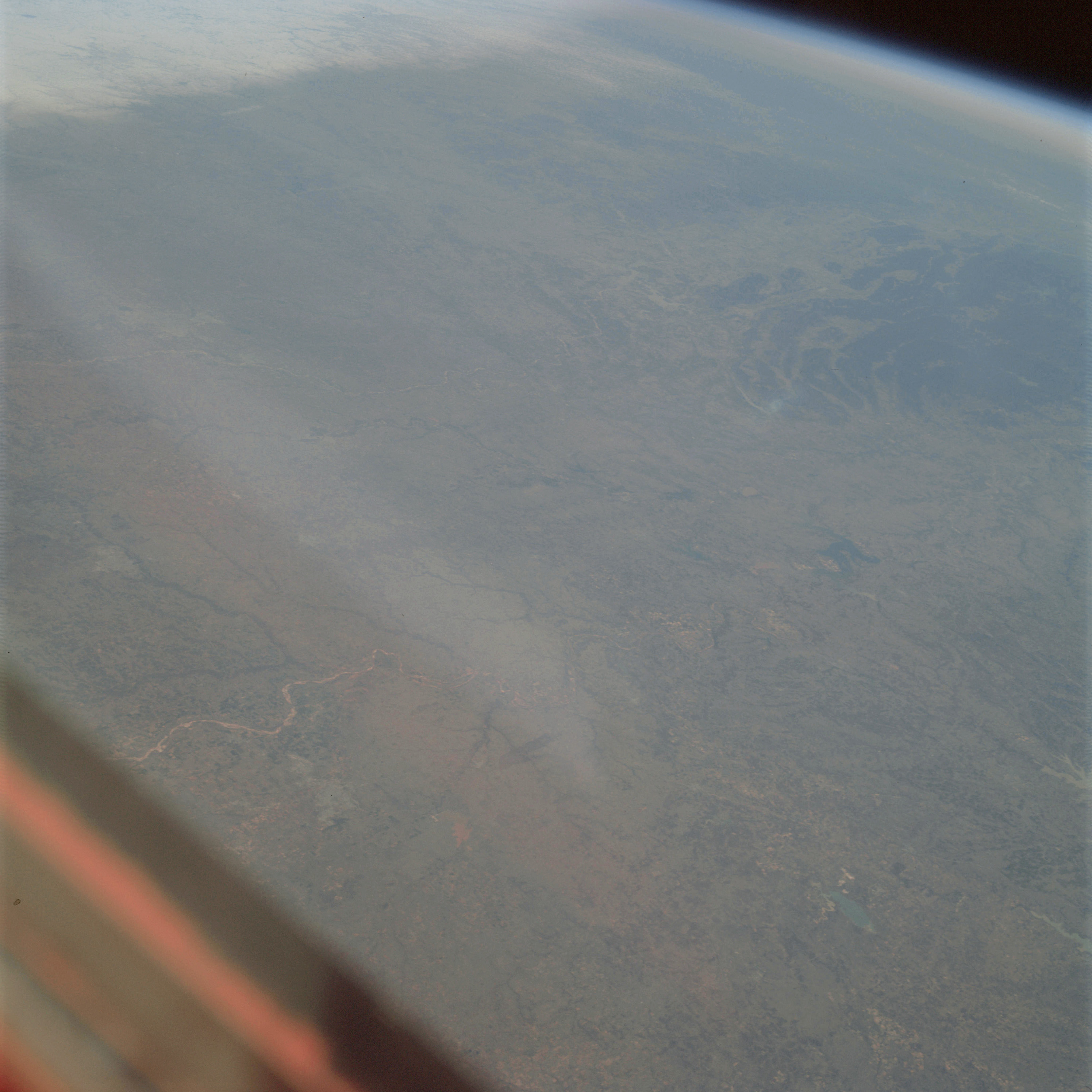 | AS09-21-3283 GEOGRAPHY/CARTOGRAPHY: United States, Oklahoma, Arkansas, Texas, Ouachita Mountains, Lake Texoma, Oklahoma City, Wichita Falls, Chickasa, Denison, Sherman, and McAlester. AGRICULTURE: Scattered field patterns. FORESTRY: Bottomland hardwood changing to mixed pine/hardwood in Ouachita Mountains. METEOROLOGY: Cirrus, snow cover in portions of southern Kansas and southwestern Missouri. Image credit: Image Science and Analysis Laboratory, NASA-Johnson Space Center. |
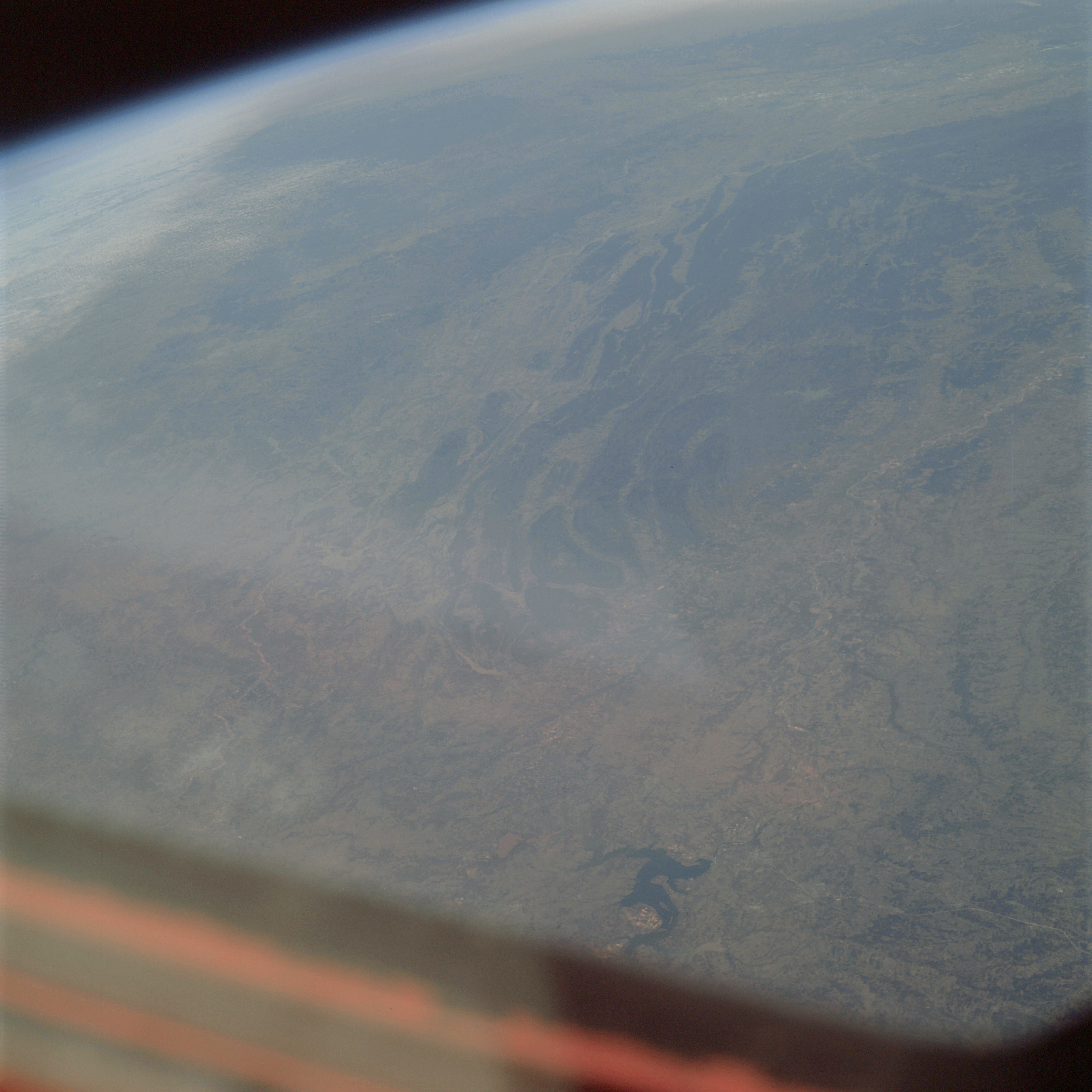 | AS09-21-3284 GEOGRAPHY/CARTOGRAPHY: United States, Arkansas, Oklahoma, and Texas, Ouachita and Boston Mountains, Arkansas River Valley, Lake Texoma, Towns of Durant, McAlester, Muskogee and Fort Smith. GEOLOGY/HYDROLOGY: Folded sedimentary mountains and central plains region. AGRICULTURE: Scattered field patterns. FORESTRY: Bottomland hardwoods changing to mixed pine/hardwood in Quechita Mountains. METEOROLOGY: Cirrus, snow cover to the north of the Boston Mountains. Image credit: Image Science and Analysis Laboratory, NASA-Johnson Space Center. |
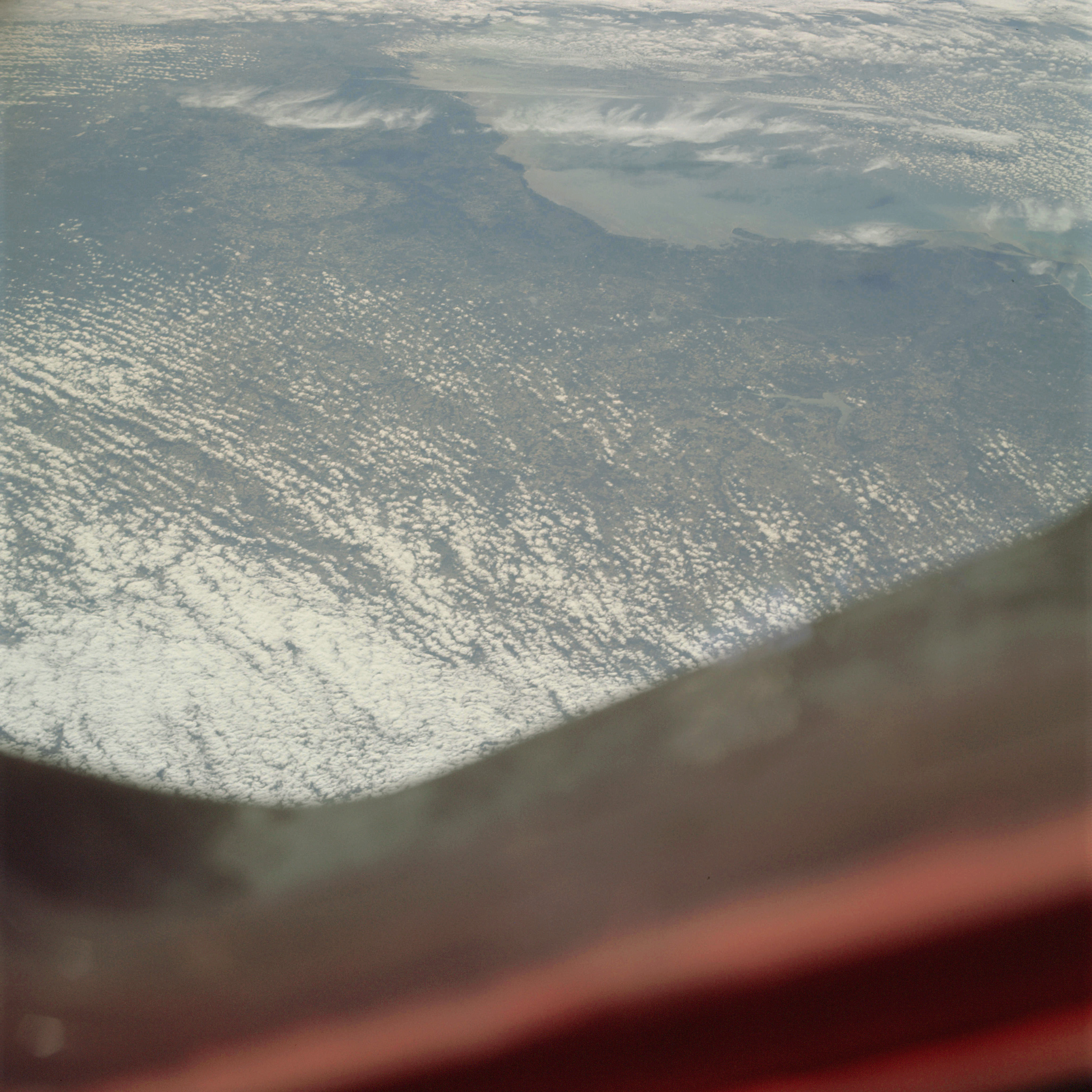 | AS09-21-3285 GEOGRAPHY /CARTOGRAPHY: United States, Florida, Cape San Blas, Horseshoe Point, Apalachee and Waccasassa Bays, City of Tallahassee, Gulf of Mexico. GEOLOGY/HYDROLOGY: Coastal plain region with a compound shoreline. AGRICULTURE: Heavy cultivation, numerous field patterns. FORESTRY: Mixed pine/hardwood. METEOROLOGY: Alto-cumulus, stratus. Image credit: Image Science and Analysis Laboratory, NASA-Johnson Space Center. |
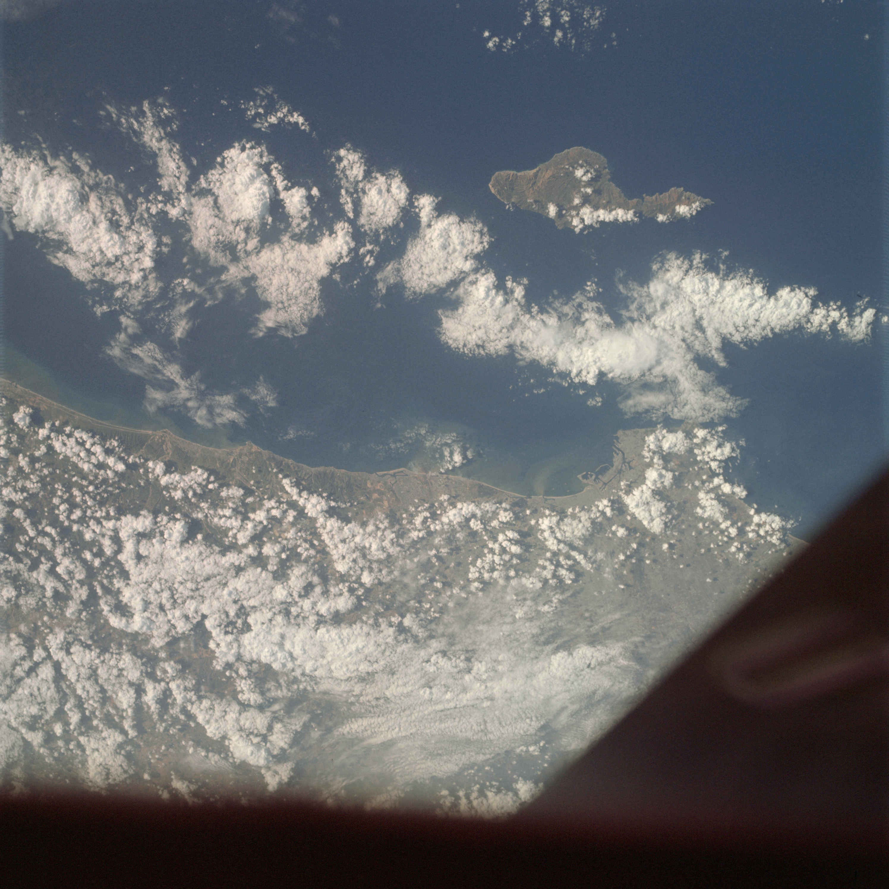 | AS09-21-3286 GEOGRAPHY/CARTOGRAPHY: United States, California, Santa Catalina, Los Angeles, Long Beach, Newport Beach and Oceanside. GEOLOGY/HYDROLOGY: Coastal mountain complex and inland mountain complex of volcanics and igneous intrusions. AGRICULTURE: Some field patterns visible through clouds. FORESTRY: Semi-dense, to dense shrubform with conifers at higher elevations. METEOROLOGY: Cumulo-nimbus with anvil, cumulus congestus, alto-cumulus. OCEANOGRAPHY: Pacific Ocean, sediment in suspension in nearshore zone. Image credit: Image Science and Analysis Laboratory, NASA-Johnson Space Center. |
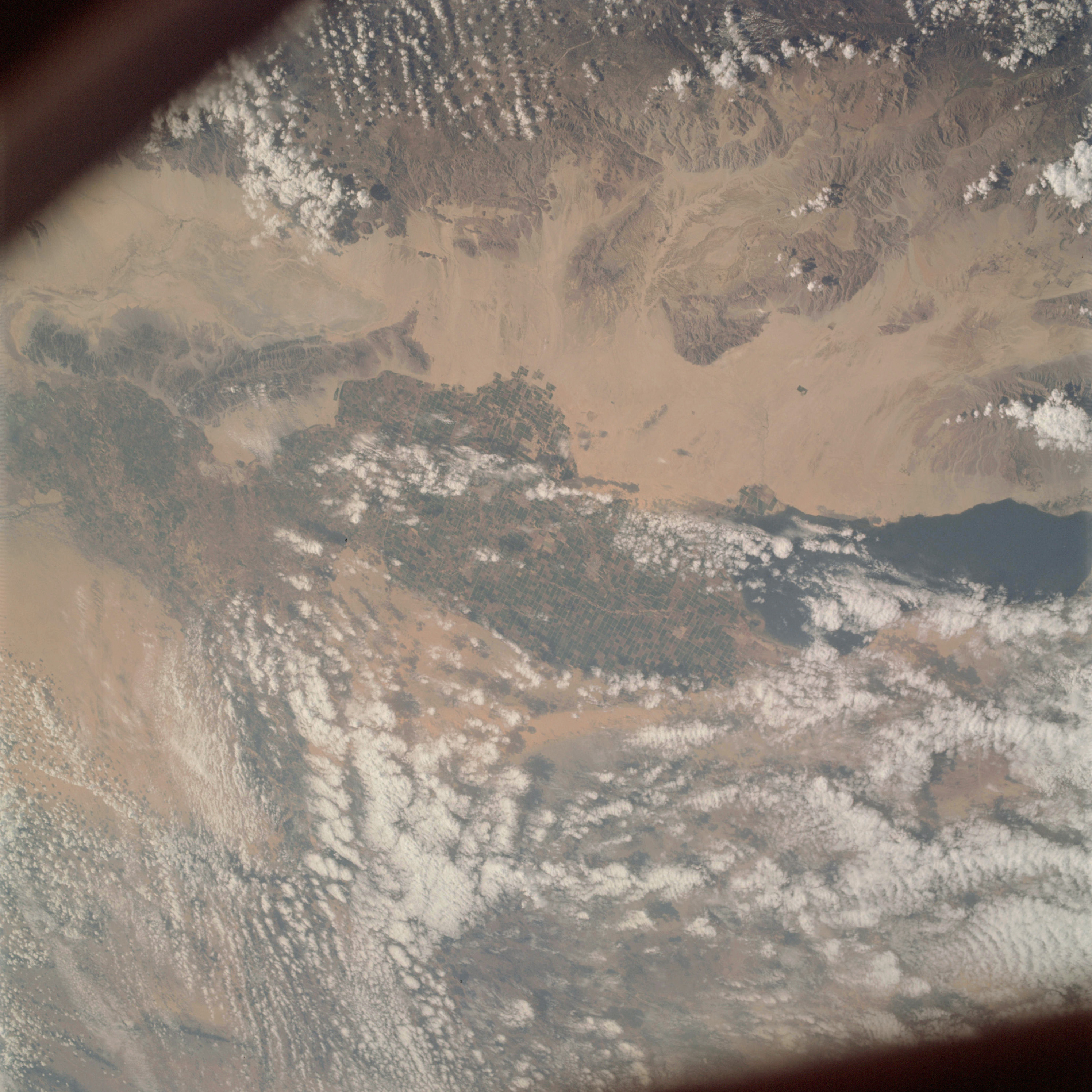 | AS09-21-3287 GEOGRAPHY/CARTOGRAPHY: United States, Mexico, California, Salton Sea, Imperial Valley, All American Canal, Chocolate Mountains, Salada Lagoon, Grand Desert, Towns of El Centro and Mexicali. GEOLOGY/HYDROLOGY: Pacific border province of complex mountains tertiary volcanics and alluvial deposits. AGRICULTURE: Very complex pattern of cultivation, field patterns easily recognizable. FORESTRY: Scattered desert shrubform. METEOROLOGY: Alto-cumulus, cumulus congestus, cirro-cumulus. Image credit: Image Science and Analysis Laboratory, NASA-Johnson Space Center. |
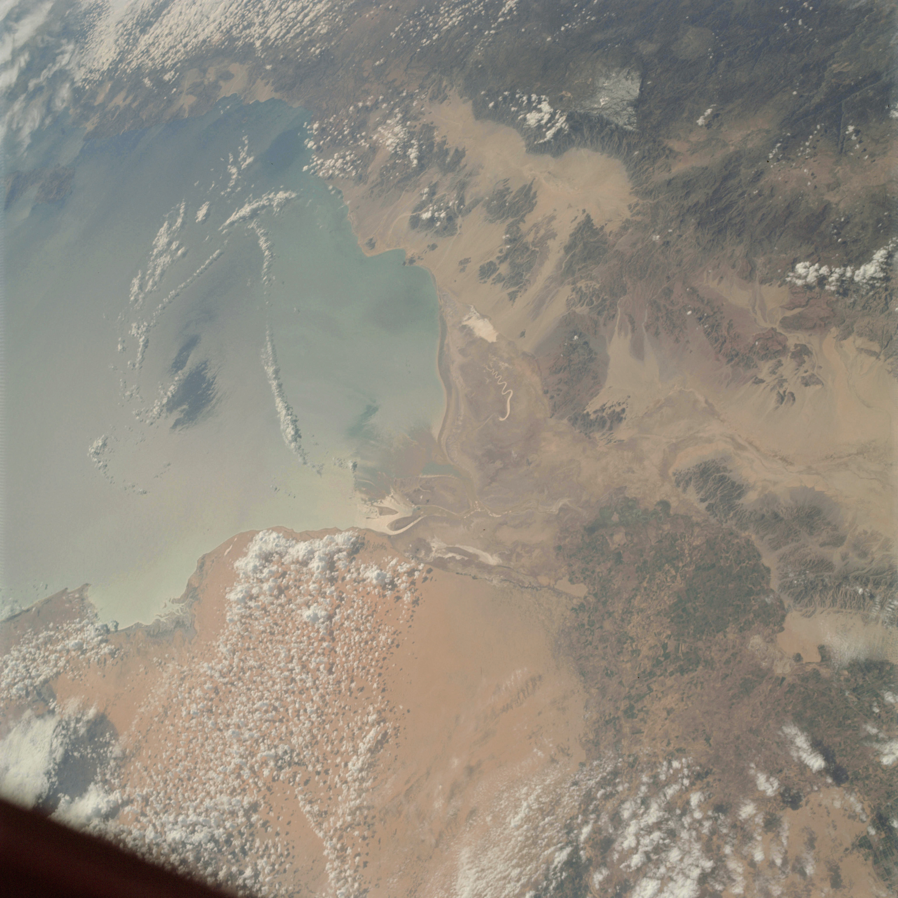 | AS09-21-3288 GEOGRAPHY/CARTOGRAPHY: Gulf of California, northwestern New Mexico, Bahia de Aduar, Desierto del Altar. GEOLOGY/HYDROLOGY: Basin and Range province, desert erg plains, tertiary volcanic ranges. Image credit: Image Science and Analysis Laboratory, NASA-Johnson Space Center. |
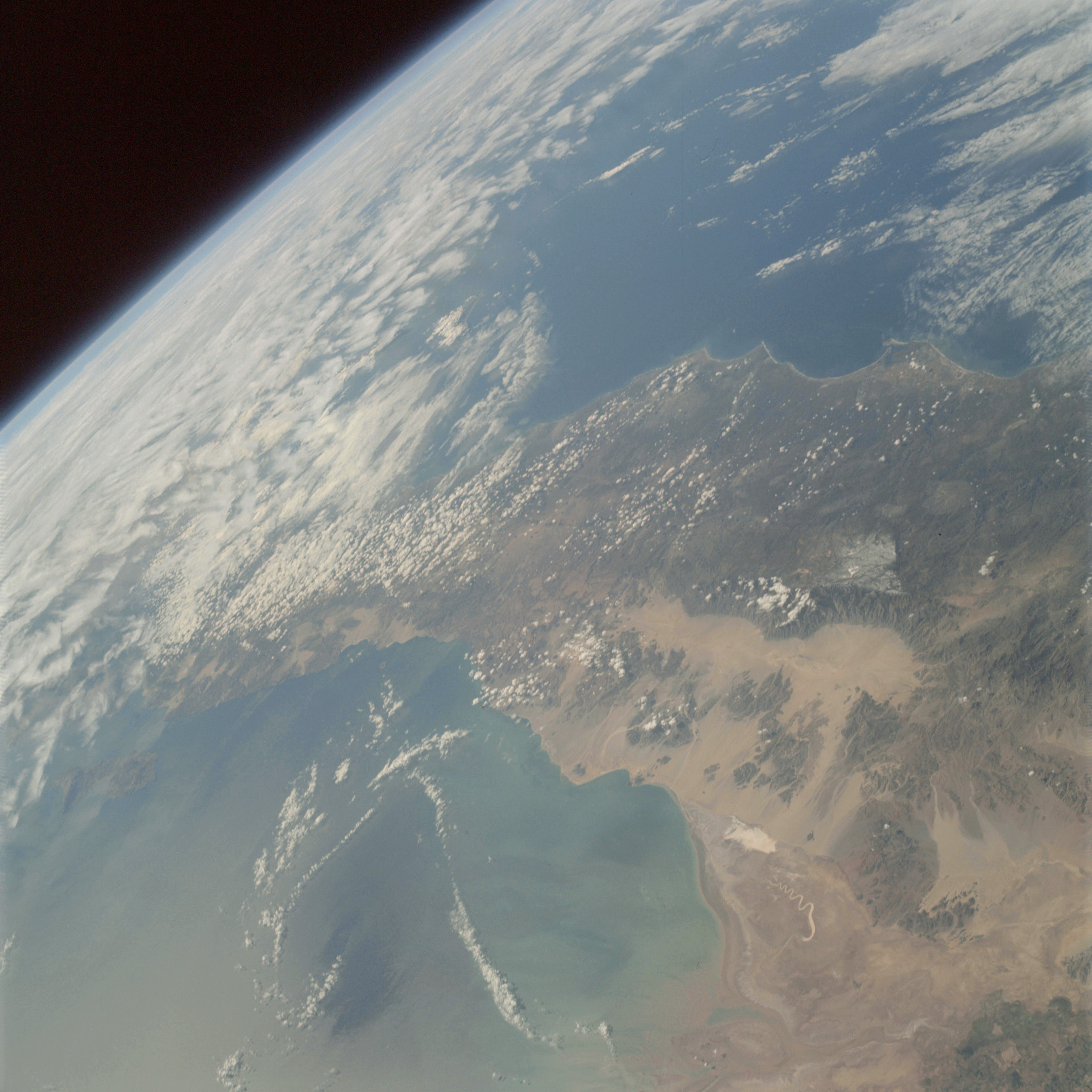 | AS09-21-3289 GEOGRAPHY/CARTOGRAPHY: Baja California, Gulf of California, Colorado River Delta, Juarez and San Pedro Mountains. GEOLOGY/HYDROLOGY: Basement complex mountain region of fault blocks, and alluvial deposits. AGRICULTURE: Some cultivation along Colorado River. FORESTRY: Scattered desert shrubform with mixed conifers on western slopes of San Pedro Mountains. METEOROLOGY: Cumulus humilis, stratus, cirrus seissatus. OCEANOGRAPHY: Pacific Ocean, Gulf of California, some submarine topography and possible upwelling is visible in the Gulf of California. Image credit: Image Science and Analysis Laboratory, NASA-Johnson Space Center. |
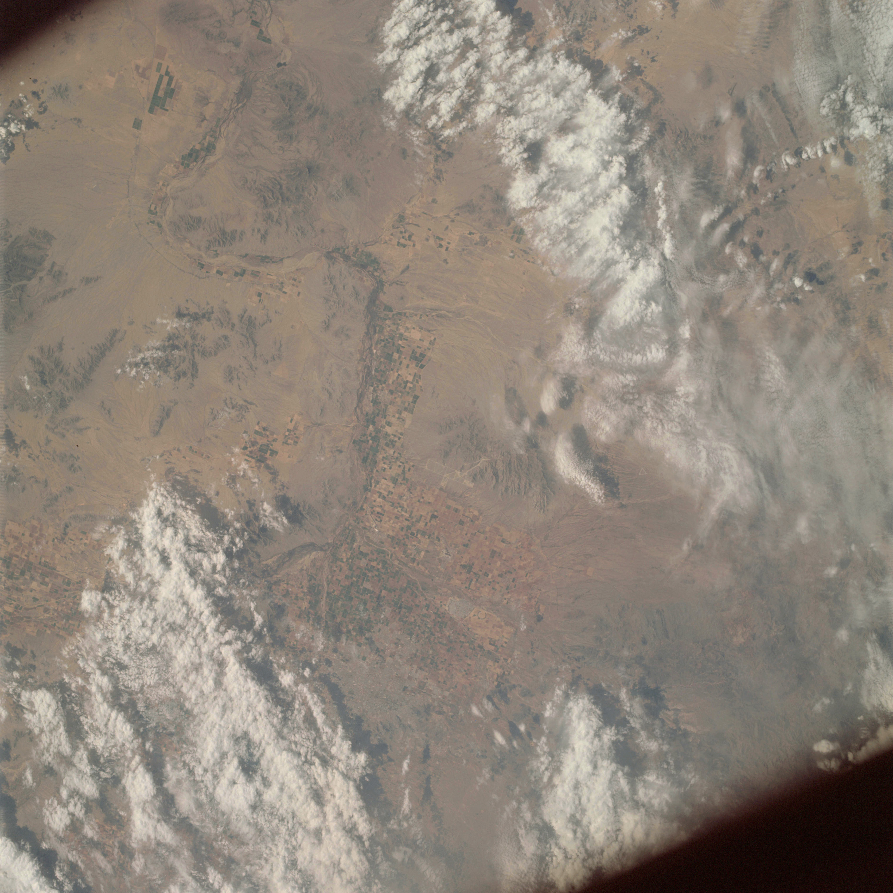 | AS09-21-3290 GEOGRAPHY/CARTOGRAPHY: United States, Arizona Phoenix and vicinity. GEOLOGY/HYDROLOGY: Volcanic and complex mountain ranges and quaternary alluvium deposits. AGRICULTURE; Heavy concentration of field patterns. FORESTRY: Desert shrubform with conifers at higher elevations. METEOROLOGY: Cirro-cumulus, cumulus congestus. Image credit: Image Science and Analysis Laboratory, NASA-Johnson Space Center. |
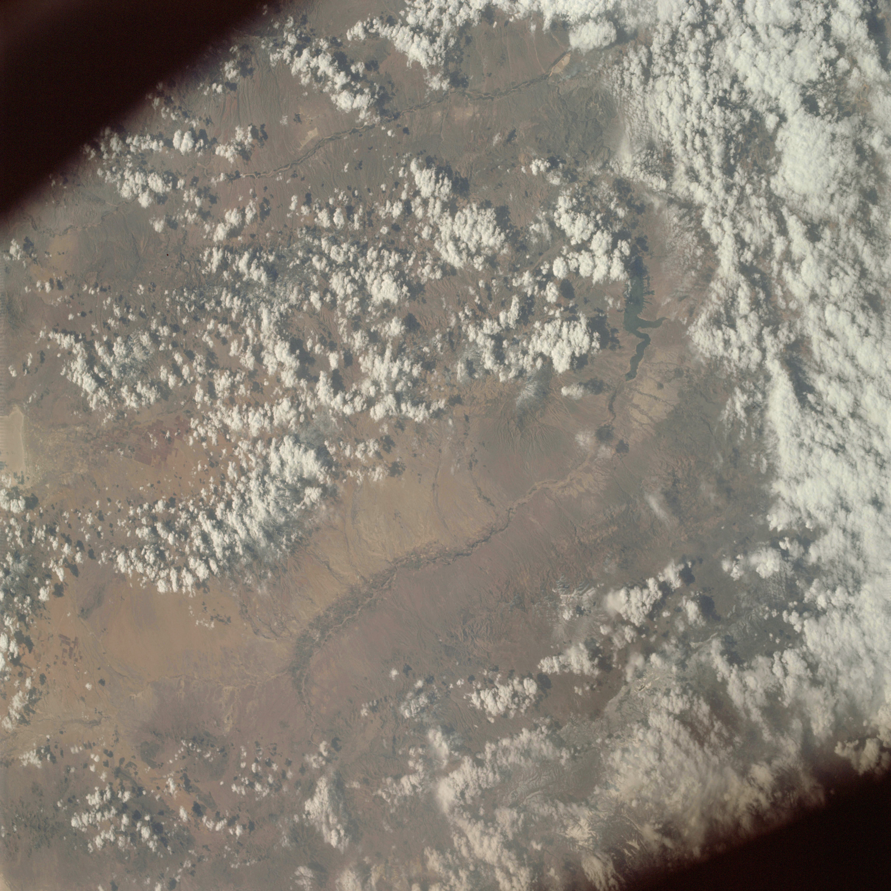 | AS09-21-3291 GEOGRAPHY/CARTOGRAPHY: United States, Arizona, San Carlos Lake, Coolidge Dam, Gila River, Gila and Pinaleno Mountains. GEOLOGY/HYDROLOGY: Volcanic and complex mountain ranges with basins of alluvium. AGRICULTURE: Cultivated field patterns along Gila River. FORESTRY: Scattered desert shrubform with some conifers at higher elevations. METEOROLOGY: Cumulus congestus. Image credit: Image Science and Analysis Laboratory, NASA-Johnson Space Center. |
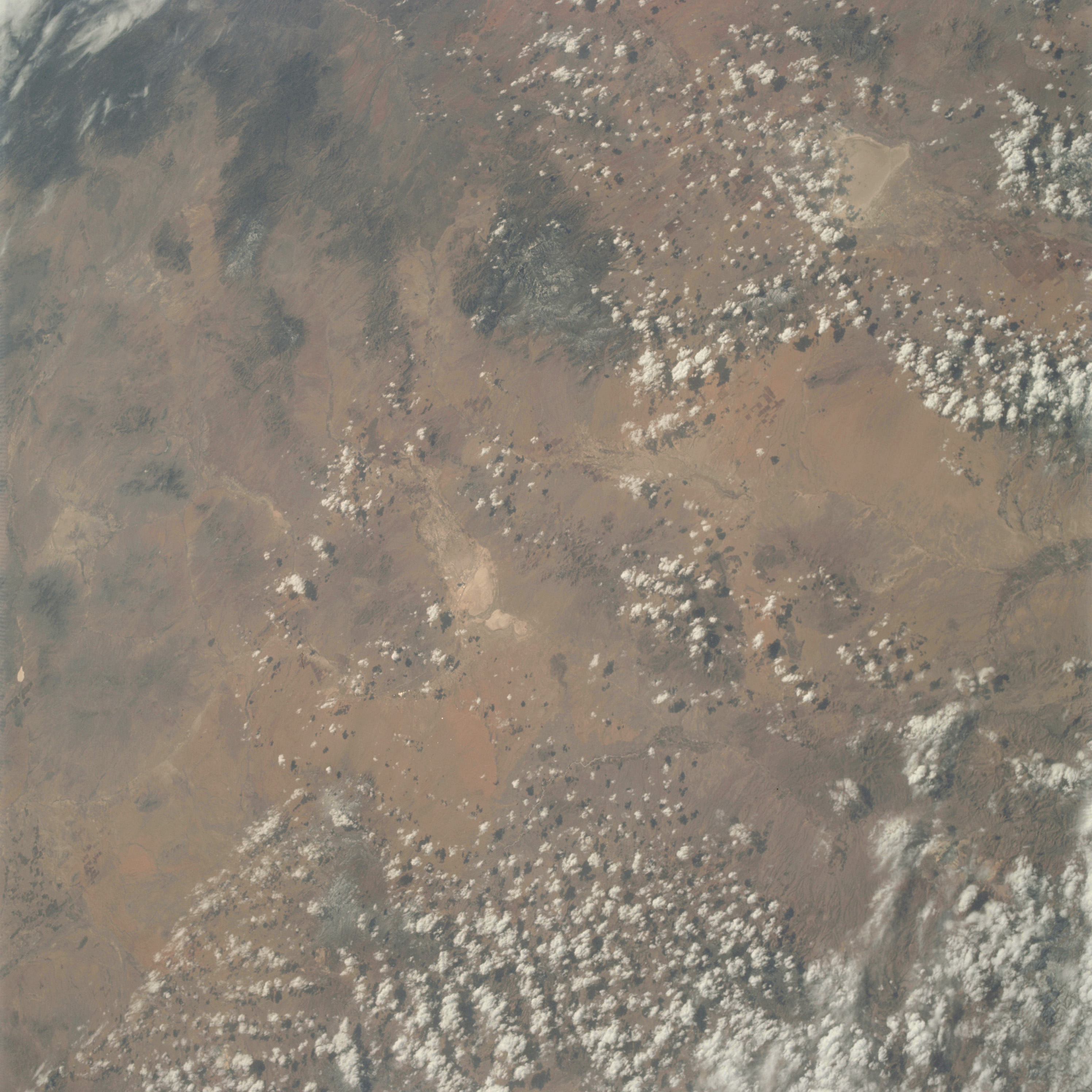 | AS09-21-3292 GEOGRAPHY/CARTOGRAPHY: United States, Arizona, Wilcox, Pinaleno Mountains. GEOLOGY/HYDROLOGY: Volcanic and complex mountain ranges with basins of quaternary alluvium. AGRICULTURE: High concentration of field patterns along avenues of drainage. FORESTRY: Mixed conifers at higher elevations, desert shrubform otherwise. METEOROLOGY: Cumulus congestus, cumulus humilis. Image credit: Image Science and Analysis Laboratory, NASA-Johnson Space Center. |
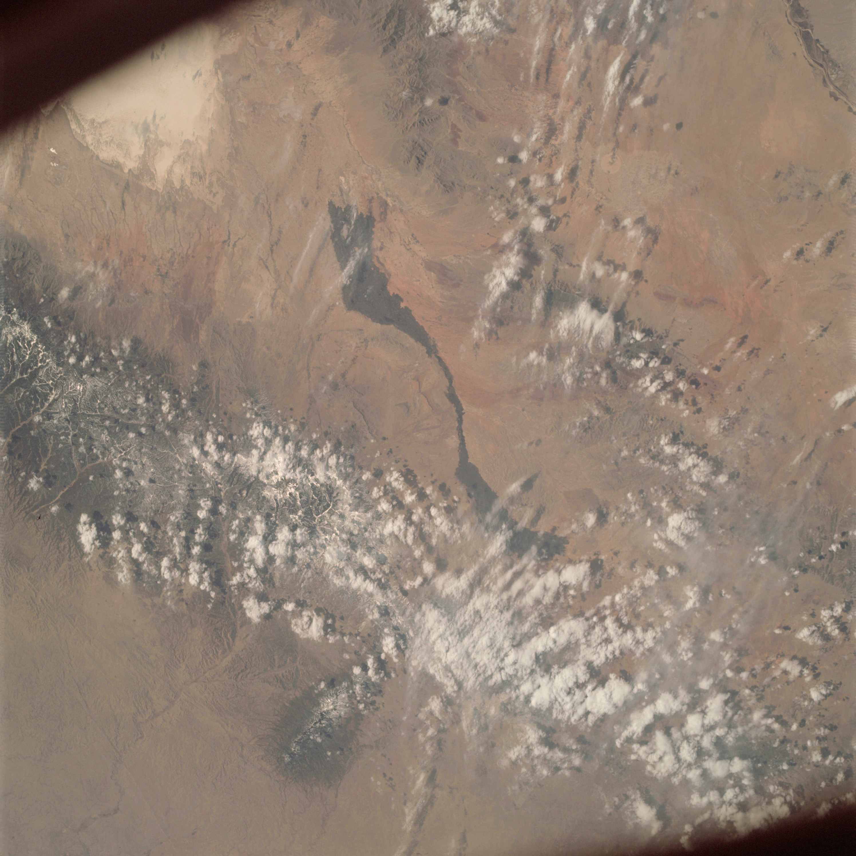 | AS09-21-3293 GEOGRAPHY/CARTOGRAPHY: United States, New Mexico, White Sands, Sacramento and San Andres Mountains. Tularosa Valley, Town of Alamogordo, GEOLOGY/HYDROLOGY: Sedimentary mountain ranges, volcanic intrusives, elevated plateaus and alluvium deposits. AGRICULTURE: Scattered field patterns along drainage FORESTRY: Desert shrubform with mixed conifers in Sacramento Mountains. METEOROLOGY: Cumulus congestus, snow cover in high elevations of Sacramento Mountains. Image credit: Image Science and Analysis Laboratory, NASA-Johnson Space Center. |
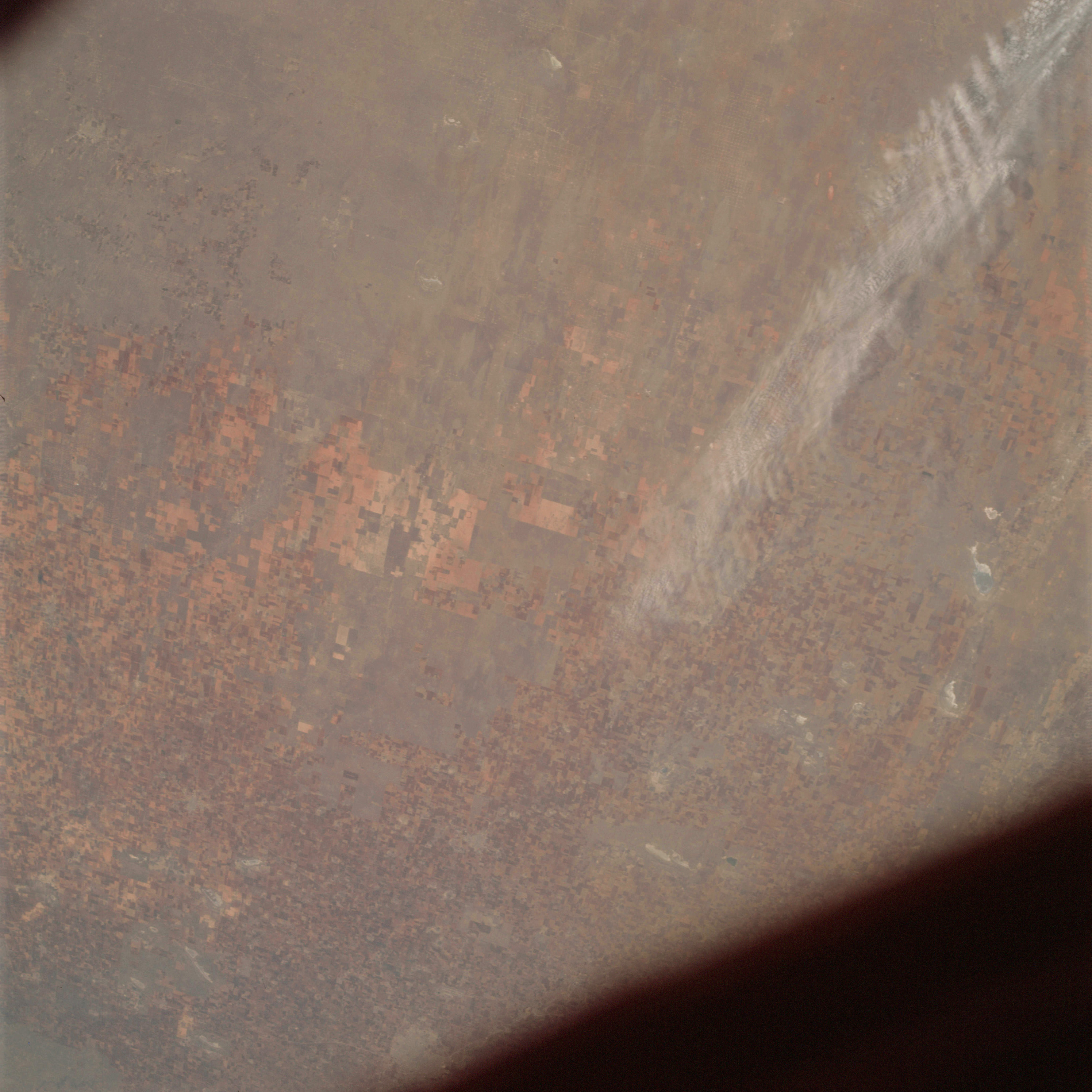 | AS09-21-3294 GEOLOGY/HYDROLOGY: Staked Plains of limestone and numerous karst areas prevalent. Image credit: Image Science and Analysis Laboratory, NASA-Johnson Space Center. |
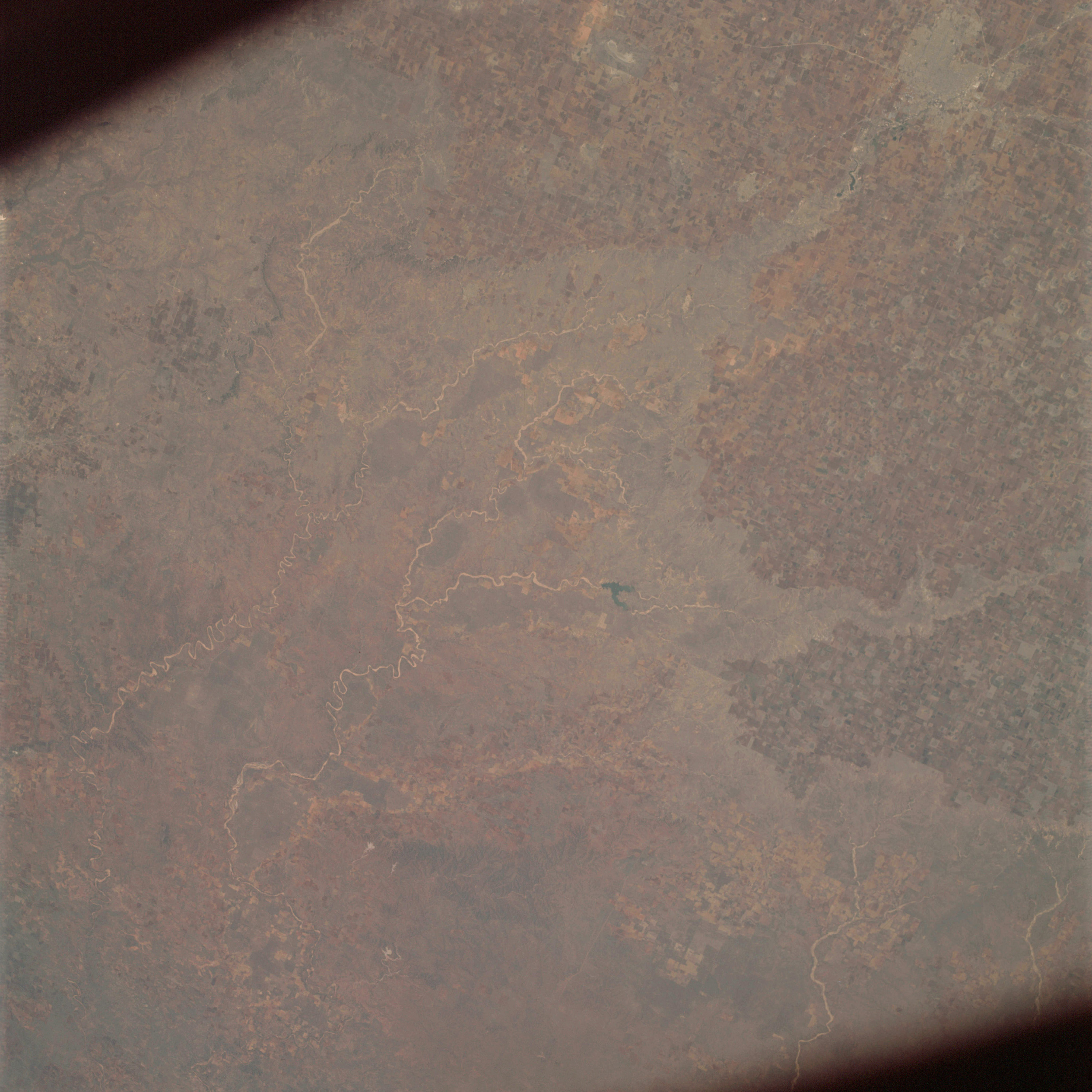 | AS09-21-3295 GEOGRAPHY/CARTOGRAPHY: United States, Texas Caprock Escarpment, Estacado Plain, Lubbock. GEOLOGY/HYDROLOGY: Limestone plateau escarpment adjacent to the red beds and gypsum plains. AGRICULTURE: Very extensive, wide spread, field patterns easily recognizable. FORESTRY: Scattered shrubform, range grass. Image credit: Image Science and Analysis Laboratory, NASA-Johnson Space Center. |
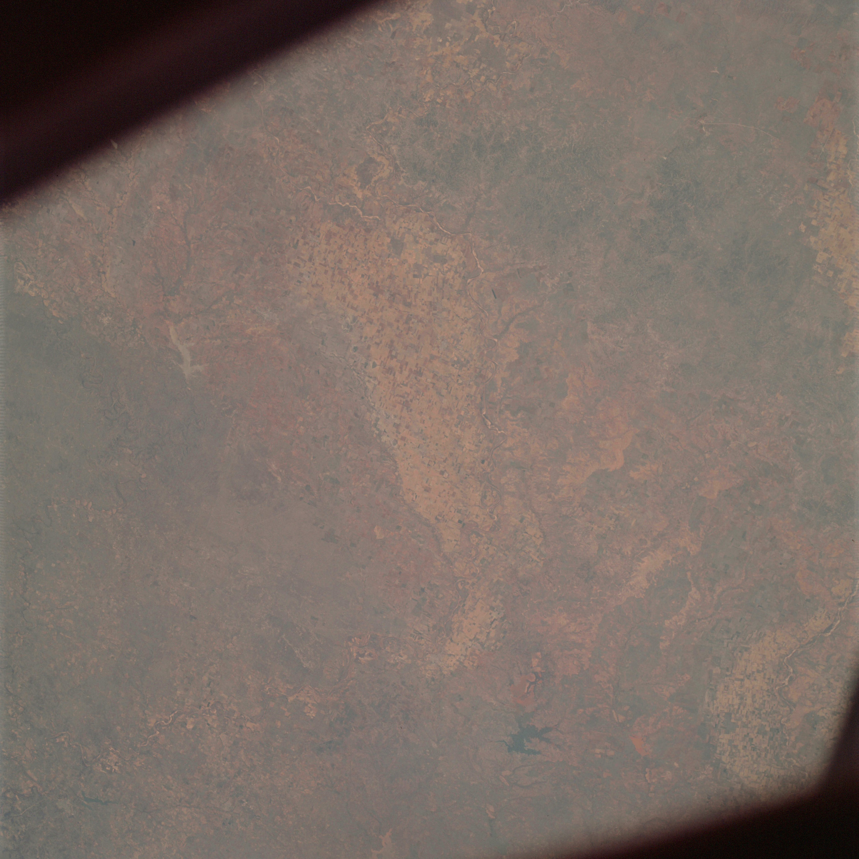 | AS09-21-3296 GROGRAPHY/CARTOGRAPHY: United States, Texas, Lake Kemp, Brazos River. GEOLOGY/HYDROLOGY: Central plains of sedimentary origin. AGRICULTURE: Very extensive, large percentage of land use under agriculture. FORESTRY: Scattered shrubform, range grass. Image credit: Image Science and Analysis Laboratory, NASA-Johnson Space Center. |
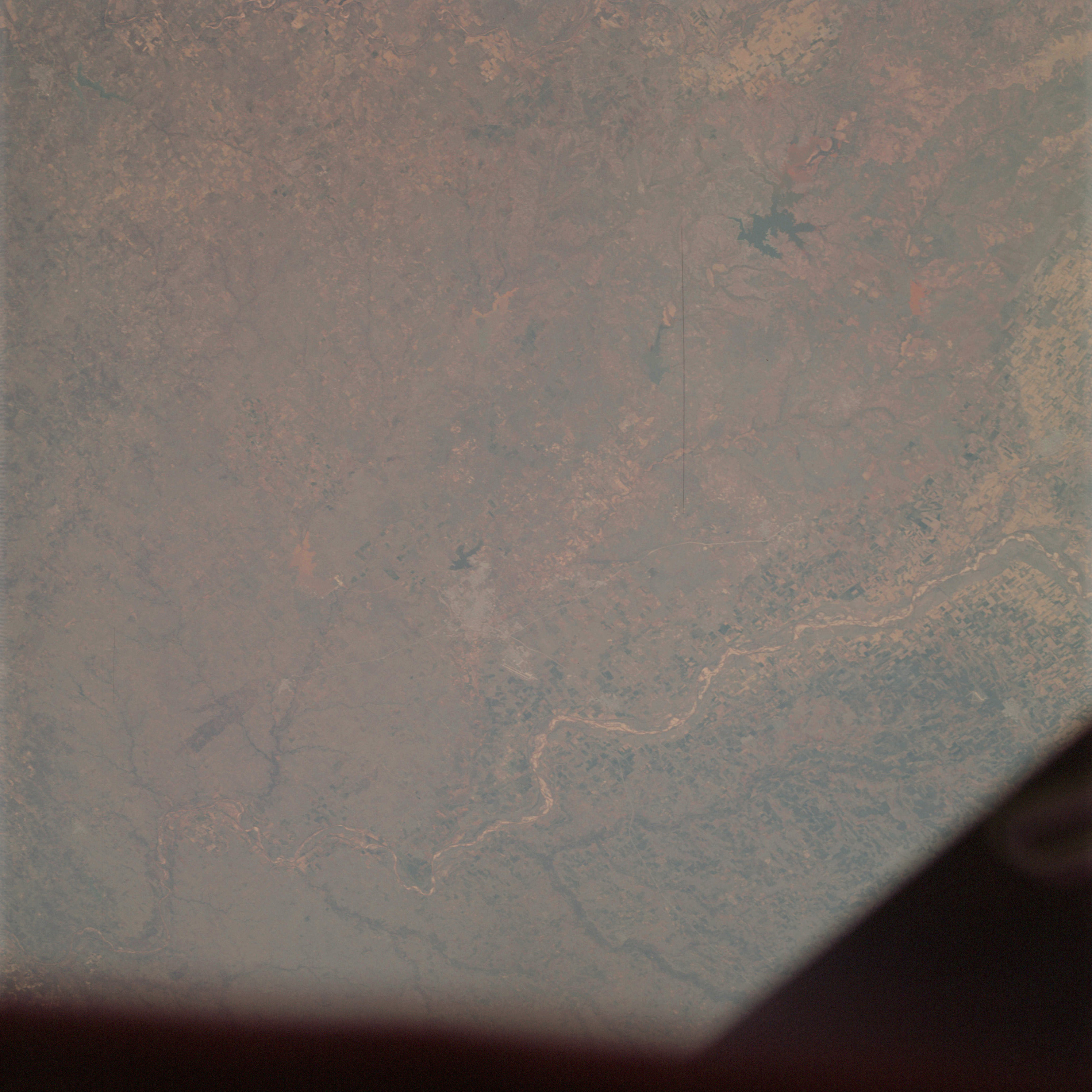 | AS09-21-3297 GROGRAPHY/CARTOGRAPHY: United States, Texas, Oklahoma, Wichita and Red Rivers, Lakes Kemp, Kickapoo, Diversion, and Wichita, City of Wichita Falls. GEOLOGY/HYDROLOGY: Central plains of sedimentary origin. AGRICULTURE: Extensive cultivation, field patterns easily recognizable. FORESTRY: Scattered shrubform, range grass. Image credit: Image Science and Analysis Laboratory, NASA-Johnson Space Center. |
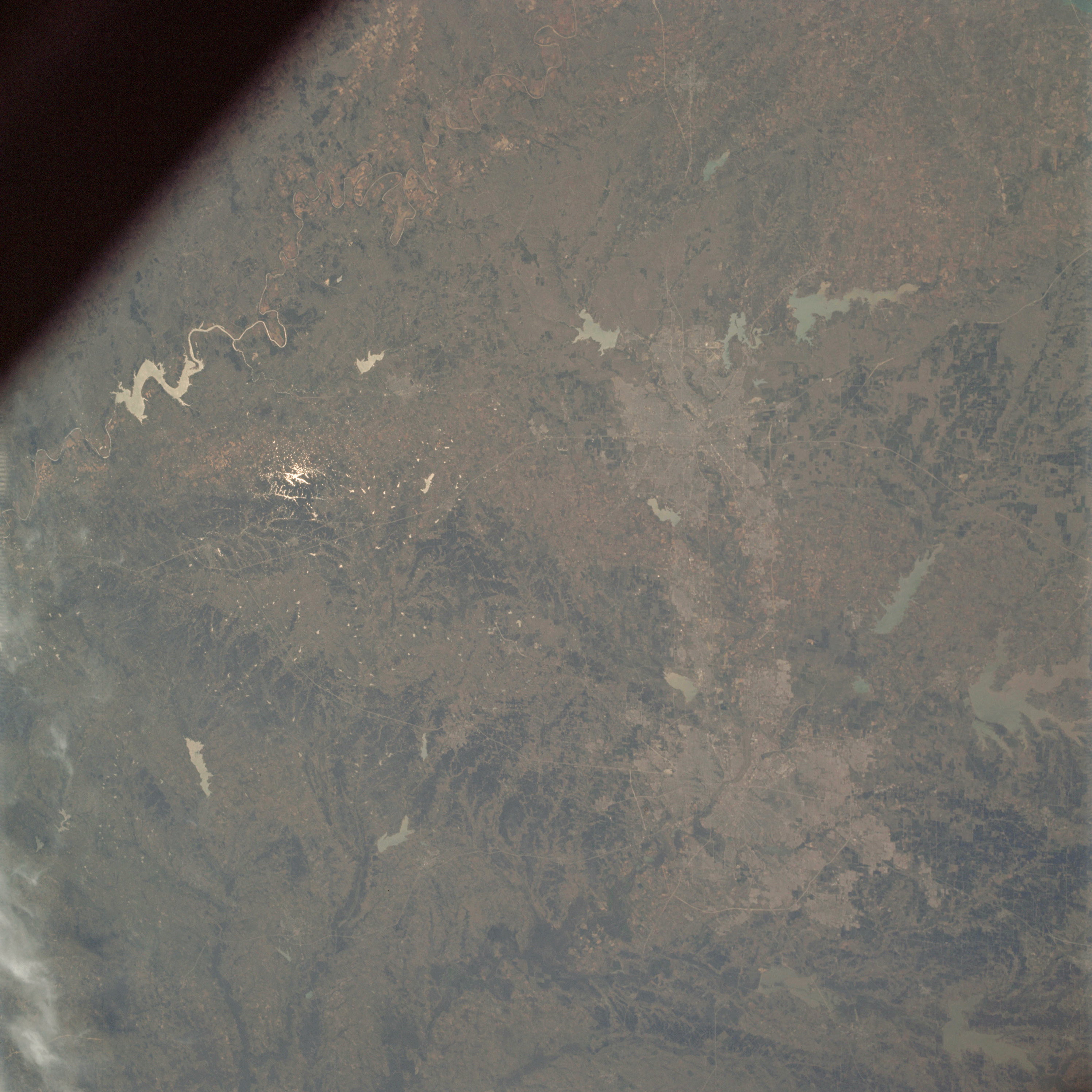 | AS09-21-3298 GEOGRAPHY/CARTOGRAPHY: United States, Texas, Dallas-Fort Worth, Trinity River. GEOLOGY/HYDROLOGY: Central plains of rolling terrain and alluvial deposits. AGRICULTURE: Scattered field patterns, range lands. FORESTRY: Shrubform changing to dense hardwood along drainage, range grasses. METEOROLOGY: Cirrus spissatus. Image credit: Image Science and Analysis Laboratory, NASA-Johnson Space Center. |
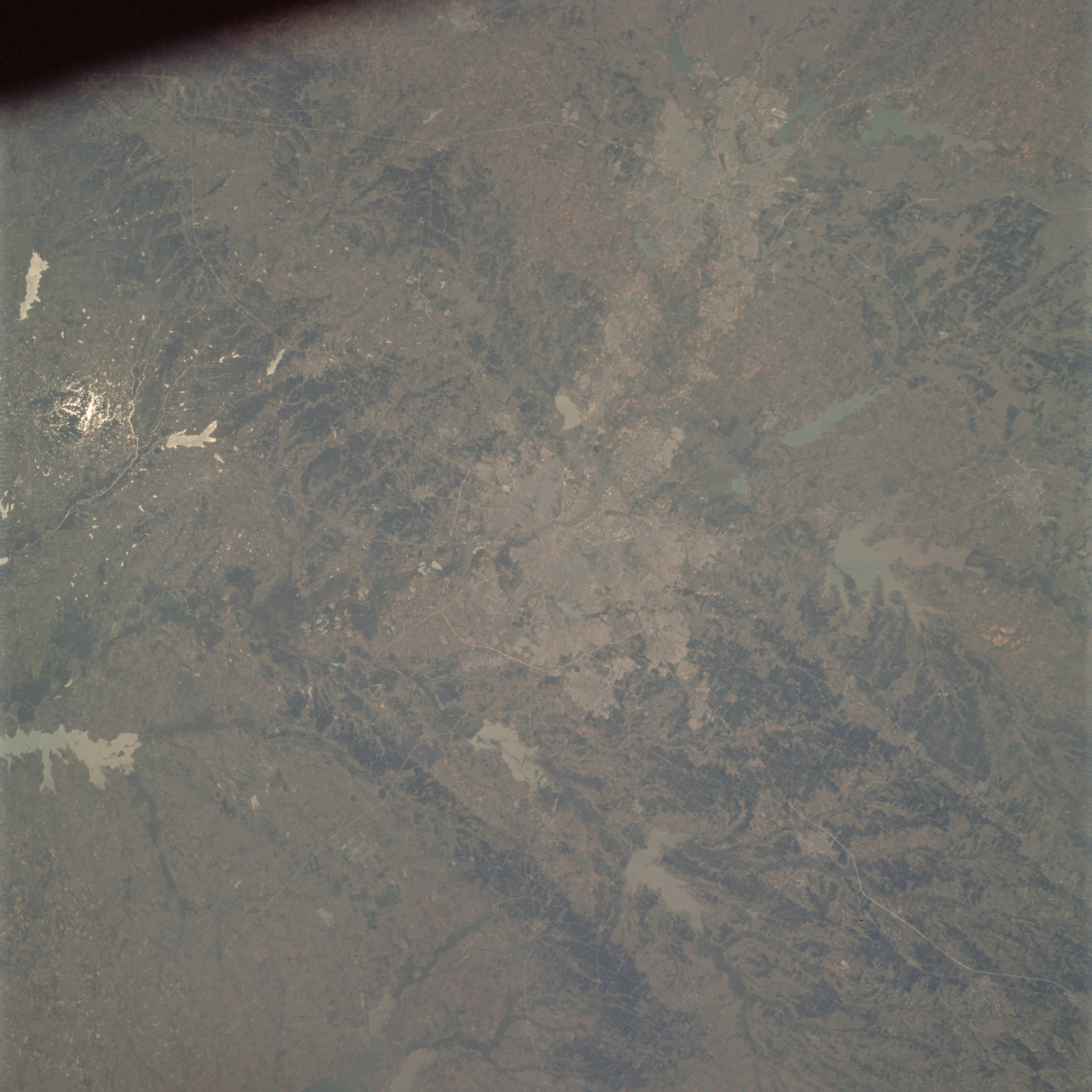 | AS09-21-3299 GEOGRAPHY/CARTOGRAPHY: United States, Texas, Dallas-Fort Worth, Trinity River. GEOLOGY/HYDROLOGY: Central sedimentary plains and rolling terrain. AGRICULTURE: Scattered field patterns, range lands. FORESTRY: Shrubform changing to dense hardwood forests along drainage. Image credit: Image Science and Analysis Laboratory, NASA-Johnson Space Center. |
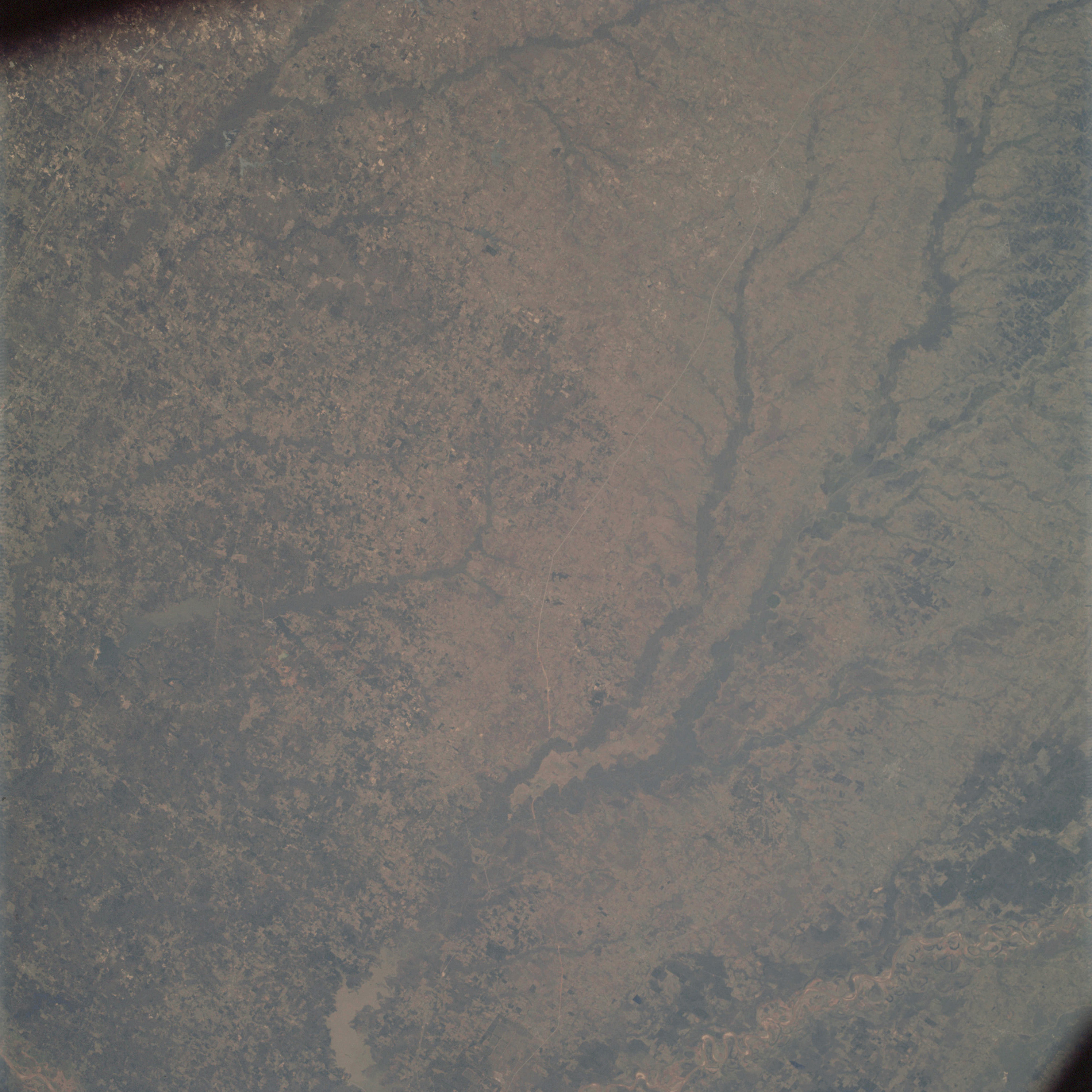 | AS09-21-3300 GEOGRAPHY/CARTOGRAPHY: United States, Texas, Arkansas, Lake Texarkana, Red River Valley. GEOLOGY/HYDROLOGY: Central sedimentary plains containing flood plain deposits and dendritic drainage. AGRICULTURE: Extensive cultivation, generally irregular shaped field patterns, range land. Image credit: Image Science and Analysis Laboratory, NASA-Johnson Space Center. |
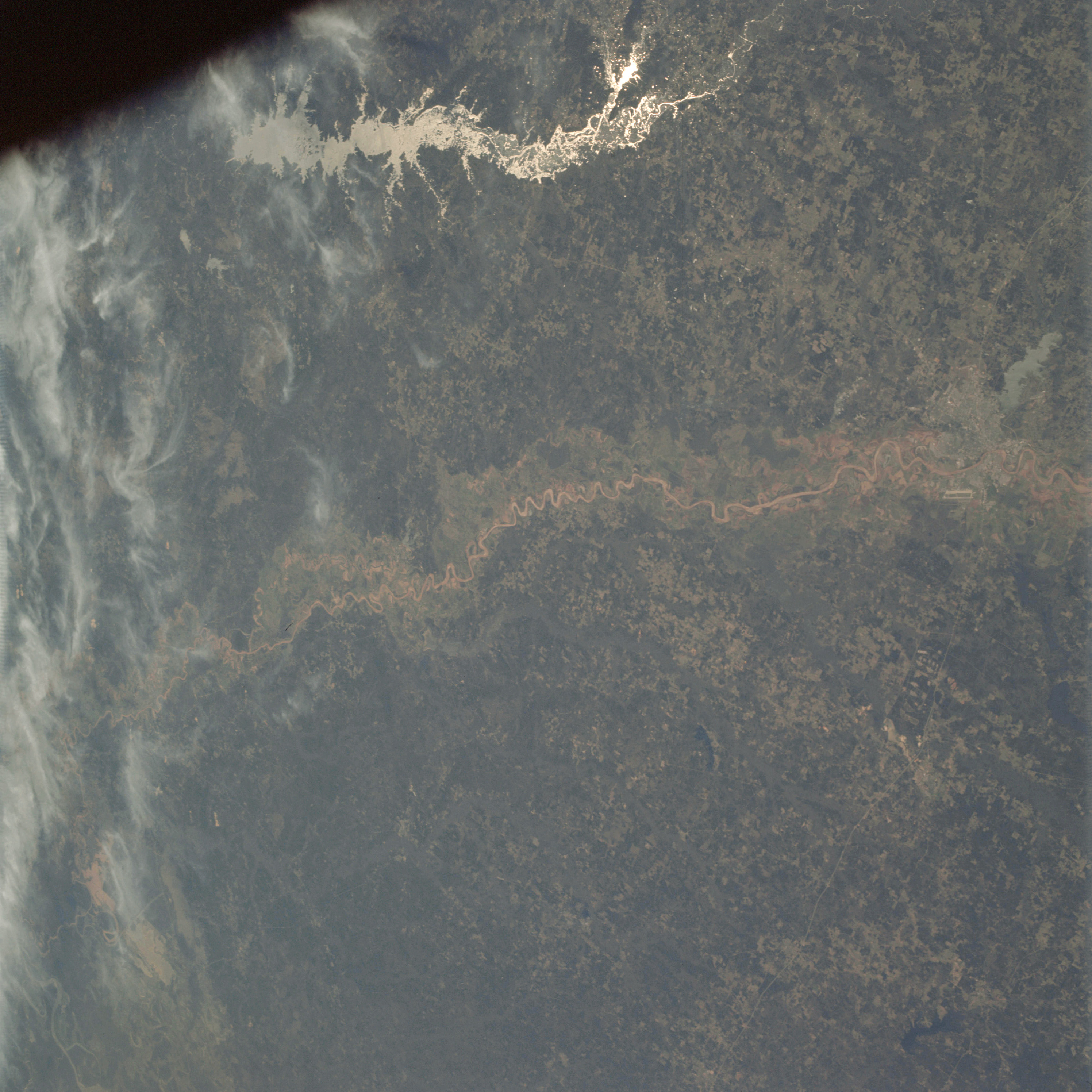 | AS09-21-3301 GEOGRAPHY/CARTOGRAPHY: United States, Louisiana, Red River, Toledo Bend Reservoir, Cities of Shreveport and Natchitoches. GEOLOGY/HYDROLOGY: Central Plains, meandering river on the flood plain, dendritic drainage. AGRICULTURE: Scattered irregular field patterns. FORESTRY: Mixed pine/hardwood with predominantly hardwood bottomland. METEOROLOGY: Cirrus fibratus. Image credit: Image Science and Analysis Laboratory, NASA-Johnson Space Center. |
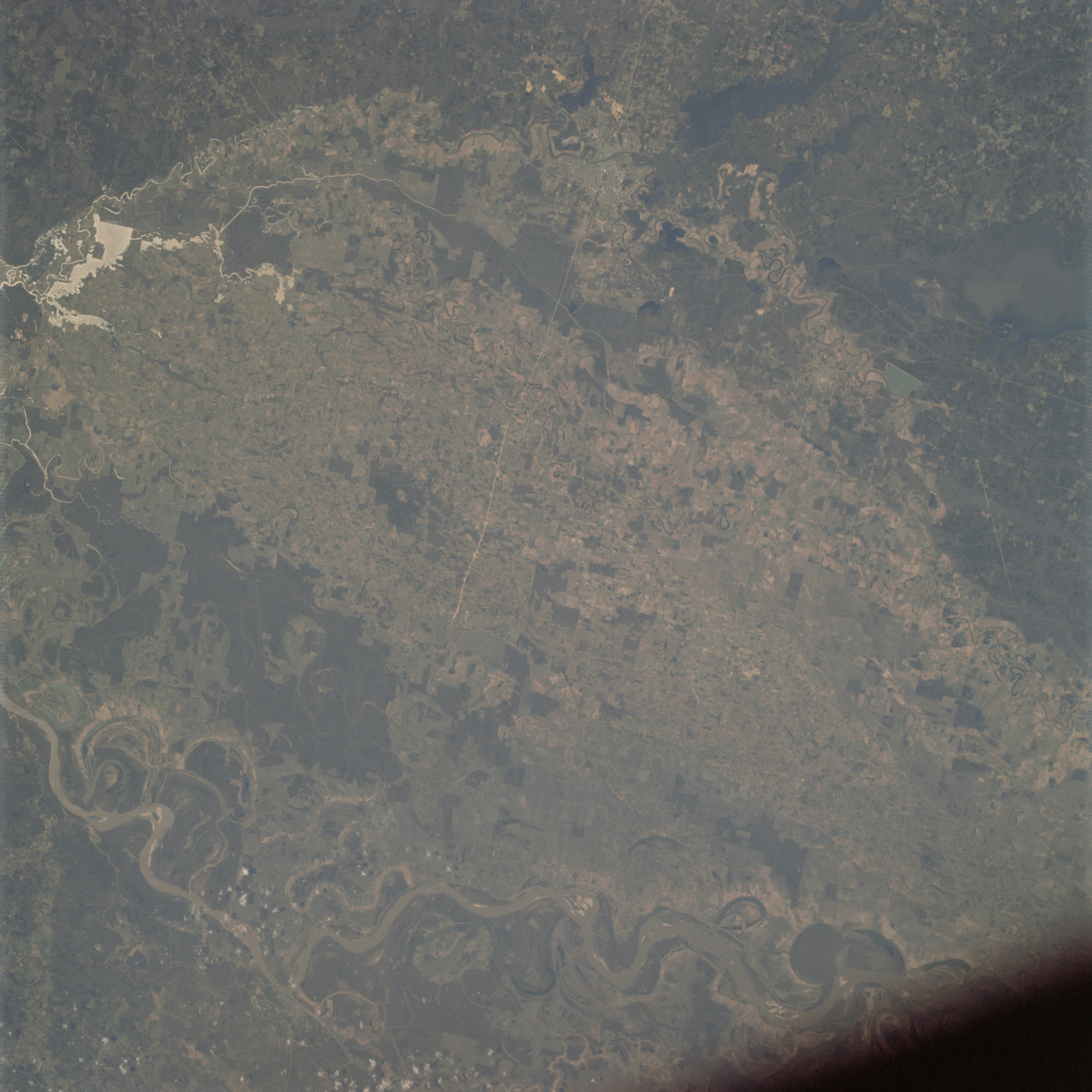 | AS09-21-3302 GEOGRAPHY/CARTOGRAPHY: Louisiana, Monroe. GEOLOGY/HYDROLOGY: Mississippi River flood plain, alluvial deposits. AGRICULTURE: Intensive cultivation, field pattern visible. FORESTRY: Mixed forest stands. Image credit: Image Science and Analysis Laboratory, NASA-Johnson Space Center. |
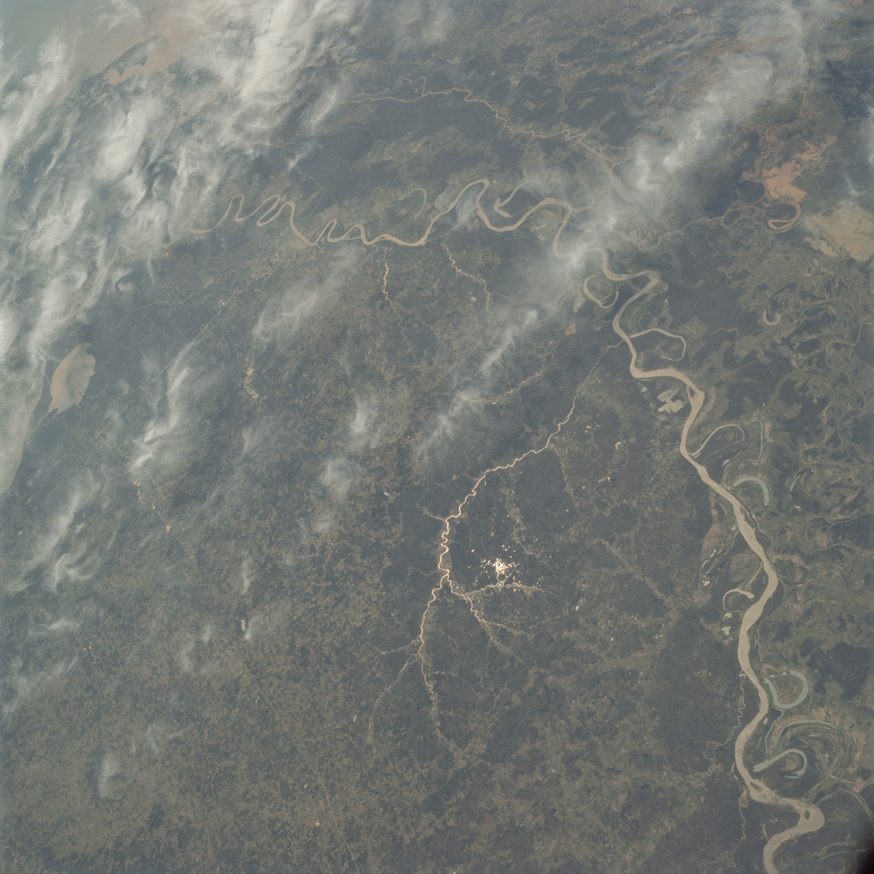 | AS09-21-3303 GEOGRAPHY/CARTOGRAPHY: United States, Louisiana, Mississippi, Mississippi River, Lake Maurpas, Cities of Matchez and Baton Rouge. GEOLOGY/HYDROLOGY: Flood plain region and coastal plain area. AGRICULTURE: Intense cultivation, irregular field patterns separated by stands of timber. FORESTRY: Mixed pine/hardwood, most conifers in upland, hardwood bottomland. METEOROLOGY: Cirrus fibratus. Image credit: Image Science and Analysis Laboratory, NASA-Johnson Space Center. |
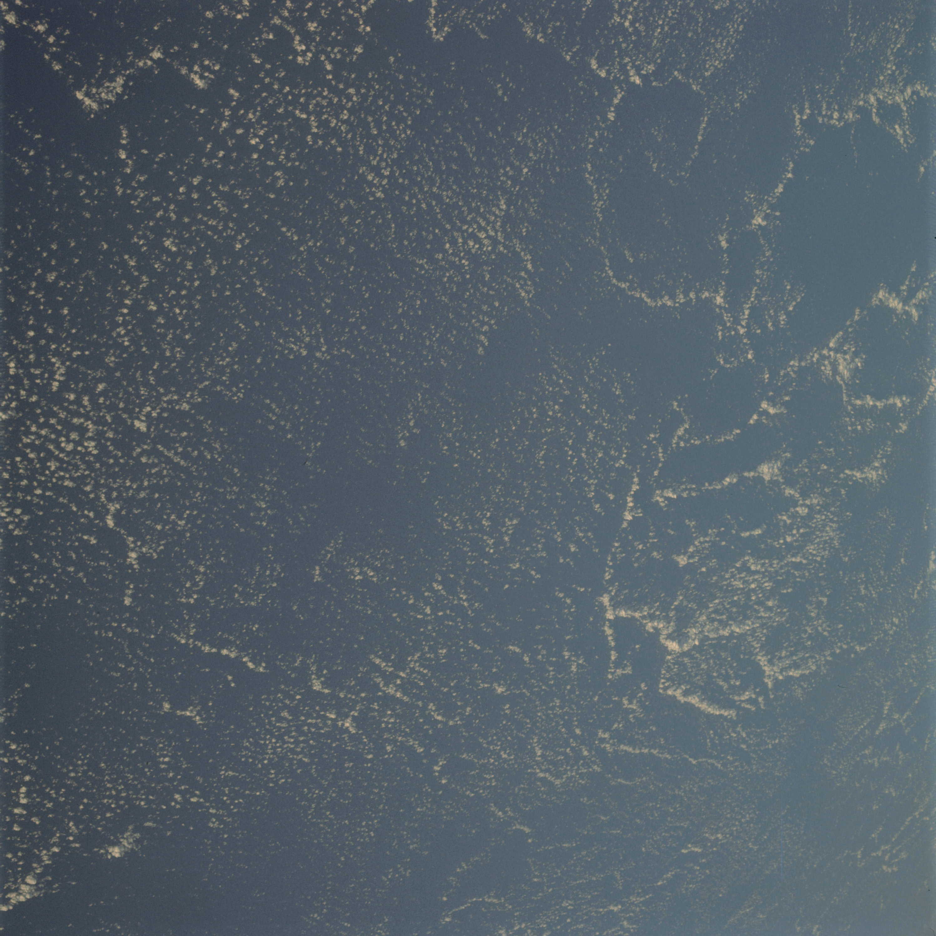 | AS09-21-3304 GEOGRAPHY/CARTOGRAPHY: Atlantic Ocean. Image credit: Image Science and Analysis Laboratory, NASA-Johnson Space Center. |
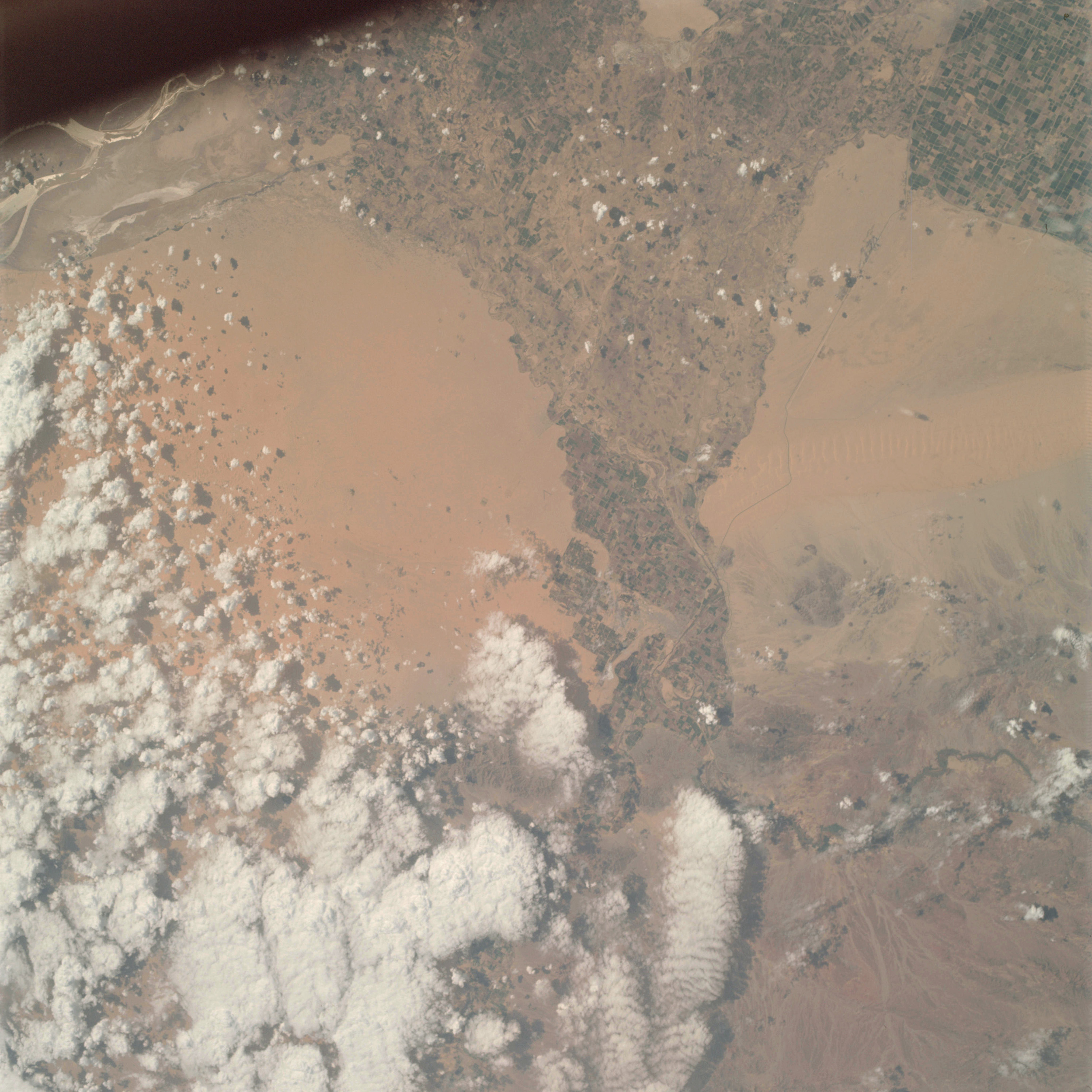 | AS09-21-3305 GEOGRAPHY/CARTOGRAPHY: United States, Mexico, California, Arizona, Colorado River, All American Canal, Grand Desert, Imperial Valley, Chocolate Mountains, City of Yuma, Town of Holtville. GEOLOGY/HYDROLOGY: Basin and Range provinces, alluvial and fluvial valley deposits. AGRICULTURE: Very heavy cultivation, irrigation system clearly visible, field patterns contrast sharply with surrounding terrain. FORESTRY: Scattered desert shrubform. METEOROLOGY: Alto-cumulus, cumulus congestus, cumulo-nimbus, cumulus humilis. Image credit: Image Science and Analysis Laboratory, NASA-Johnson Space Center. |
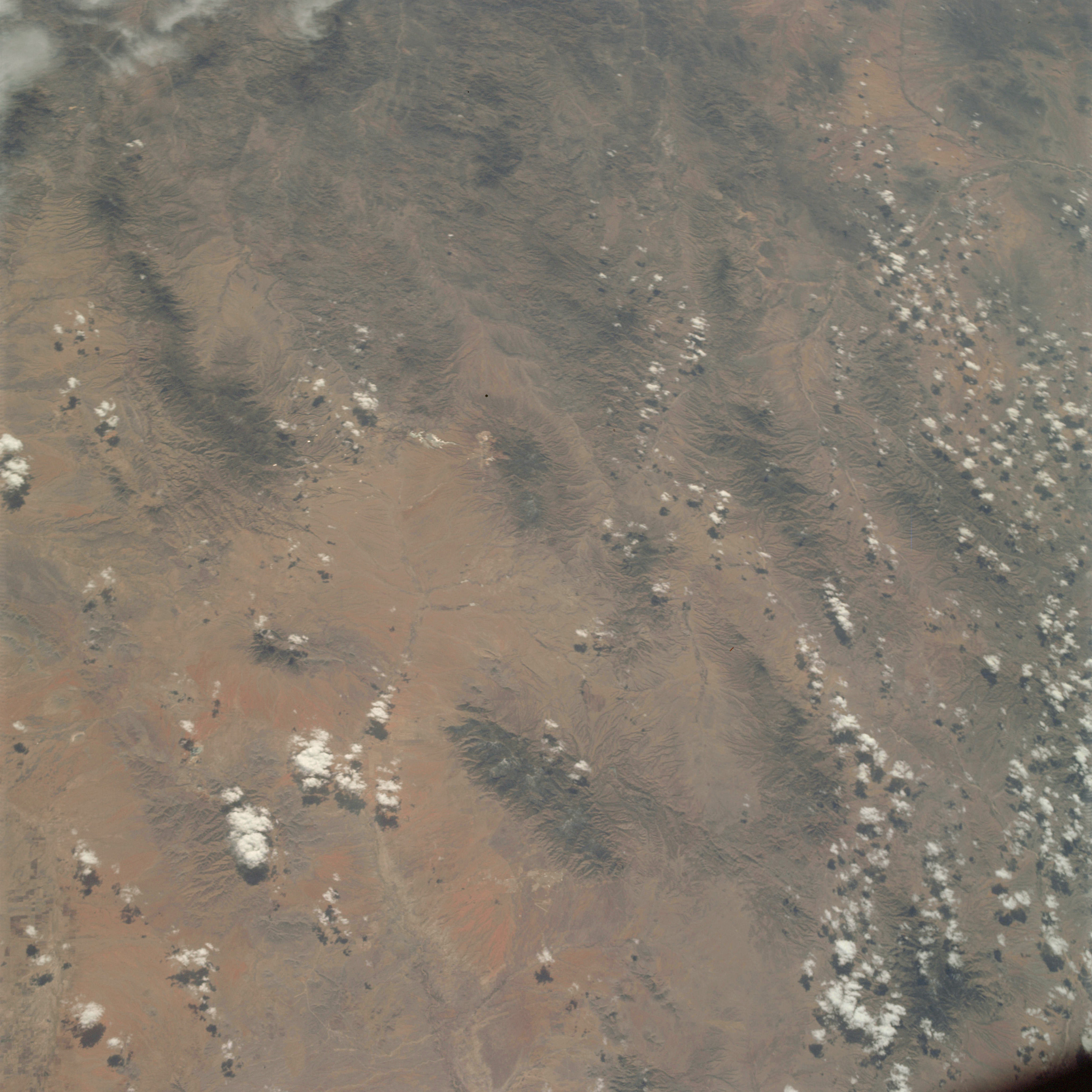 | AS09-21-3306 GEOGRAPHY/CARTOGRAPHY: United States, Mexico, Arizona, Fort. Huachuea, Bisbee. GEOLOGY/HYDROLOGY: Basin and Range province of tertiary volcanic ranges and alluvial deposits. AGRICULTURE: Large field patterns visible near limits of frame. FORESTRY: Scattered desert shrubform with some mixed conifers at higher elevations. METEOROLOGY: Cumulus humilis, cumulus congestus. Image credit: Image Science and Analysis Laboratory, NASA-Johnson Space Center. |
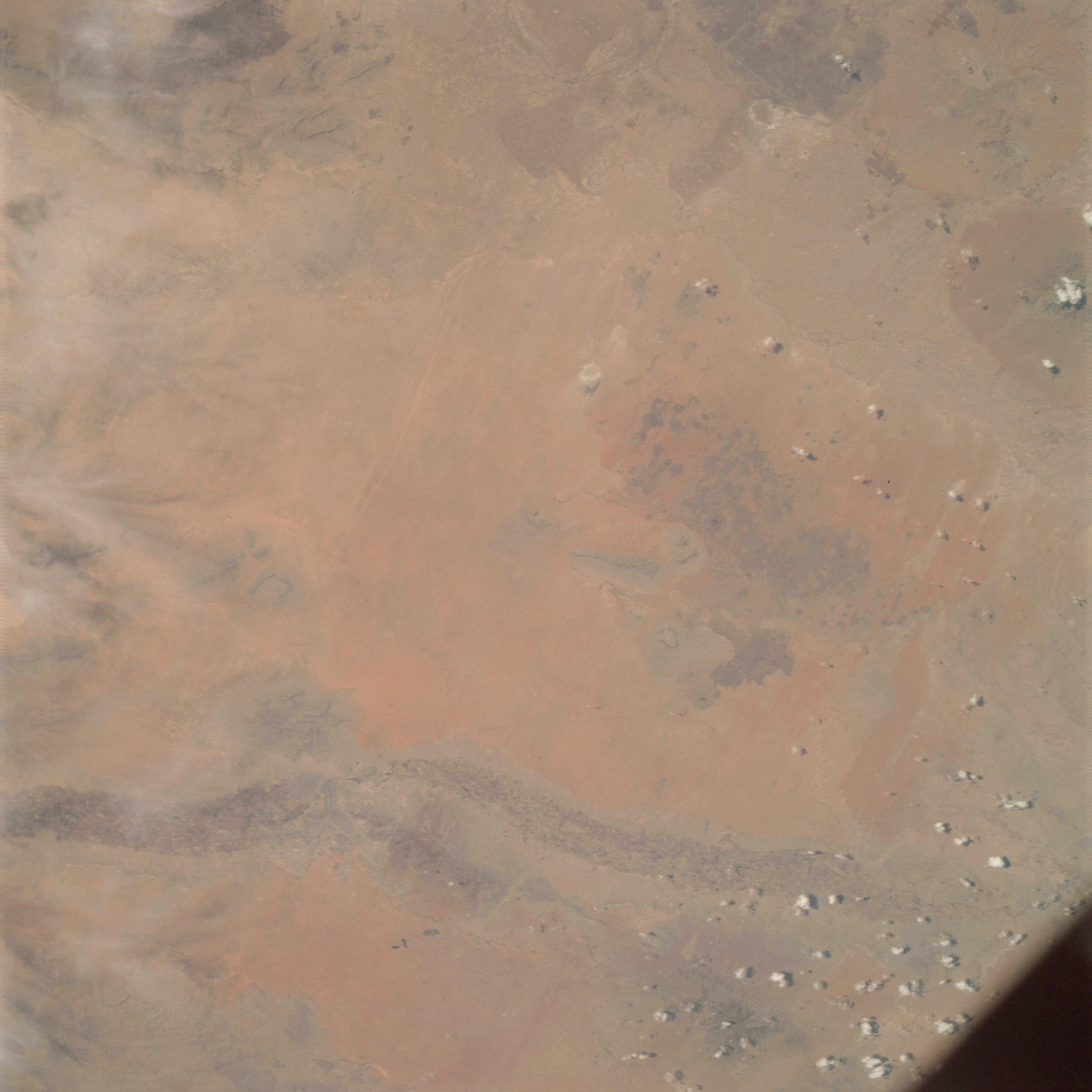 | AS09-21-3307 GEOGRAPHY/CARTOGRAPHY: United States, Mexico, Texas. New Mexico, Rio Grande Valley, City of El Paso. GEOLOGY/HYDROLOGY: Basin and Range province of tertiary volcanic ranges and extensive quaternary alluvium. AGRICULTURE: Highly concentrated area of cultivation along Rio Grande River. FORESTRY: Desert shrubform with some non-commercial conifers at higher elevations. METEOROLOGY: Cirrus fibratus. Image credit: Image Science and Analysis Laboratory, NASA-Johnson Space Center. |
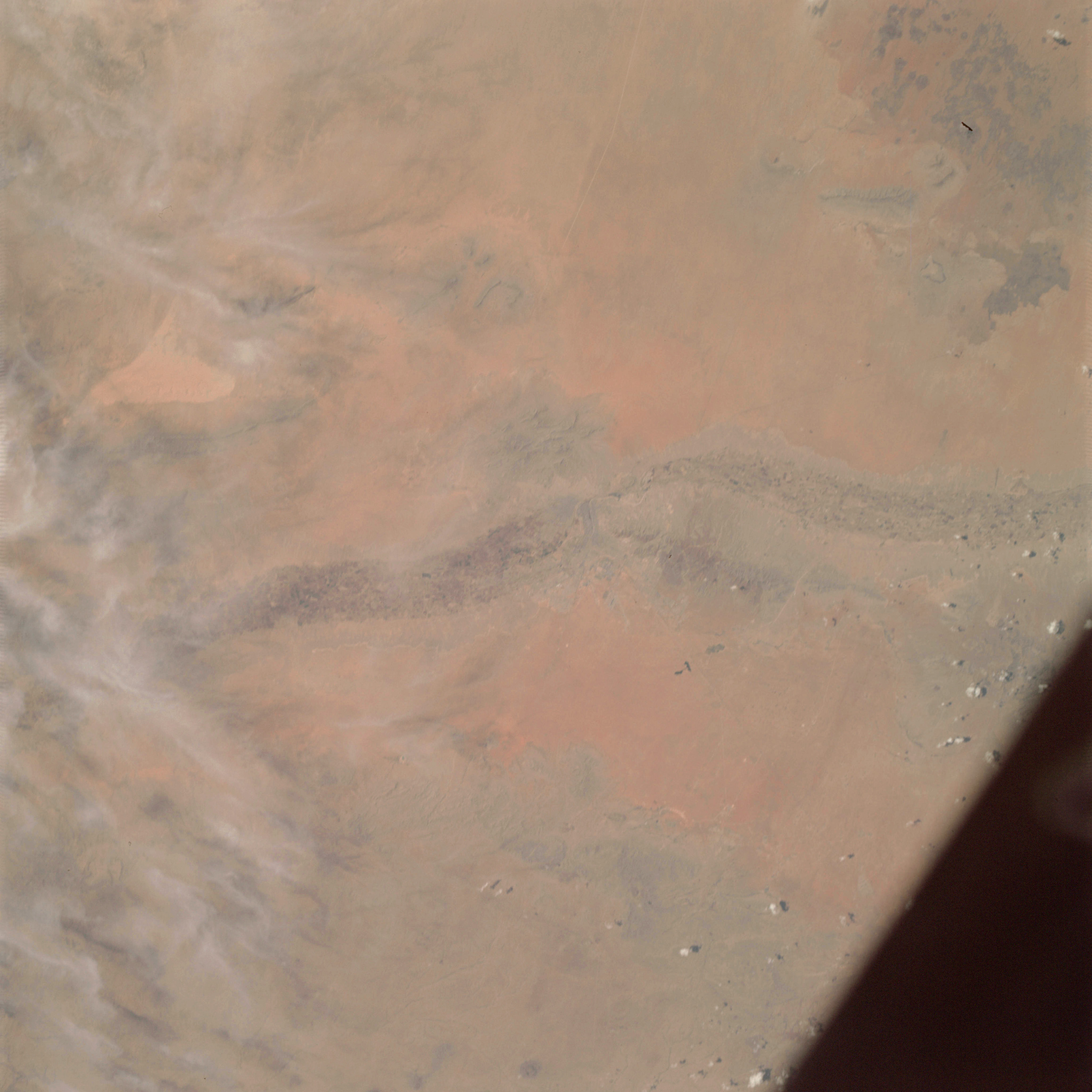 | AS09-21-3308 GEOGRAPHY/CARTOGRAPHY: United States, Mexico, Texas, New Mexico, Rio Grande Valley, White Sands, San Andres Mountains, Cities of El Paso, and Las Cruces. GEOLOGY/HYDROLOGY: Tertiary volcanics and quaternary alluvium deposits of the Basin and Range provinces. AGRICULTURE: Highly concentrated area of cultivation along the Rio Grande River. FORESTRY: Desert shrubform with some non-commercial conifers at higher elevations . METEOROLOGY: Cirrus fibratus. Image credit: Image Science and Analysis Laboratory, NASA-Johnson Space Center. |
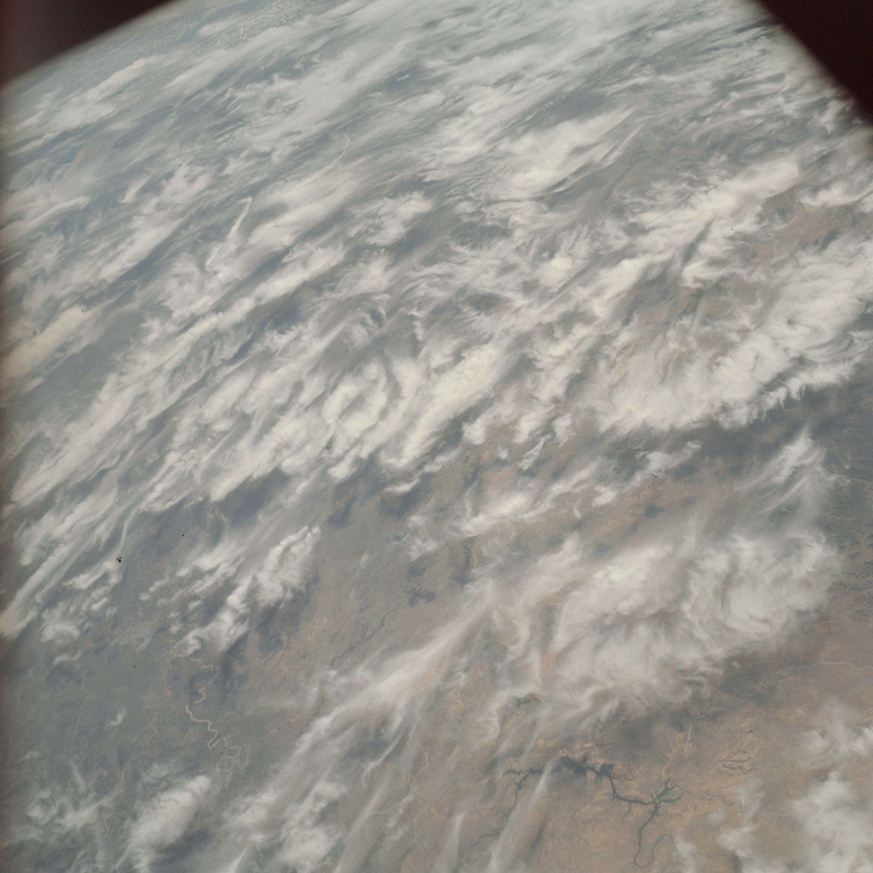 | AS09-21-3309 GEOGRAPHY/CARTOGRAPHY: United States, Mexico, Texas, Rio Grande Valley, Pecos River, Town of Del Rio. GEOLOGY/HYDROLOGY: Central lowland plains. FORESTRY: Scattered shrubform. METEOROLOGY: Cirrus spissatus. Image credit: Image Science and Analysis Laboratory, NASA-Johnson Space Center. |
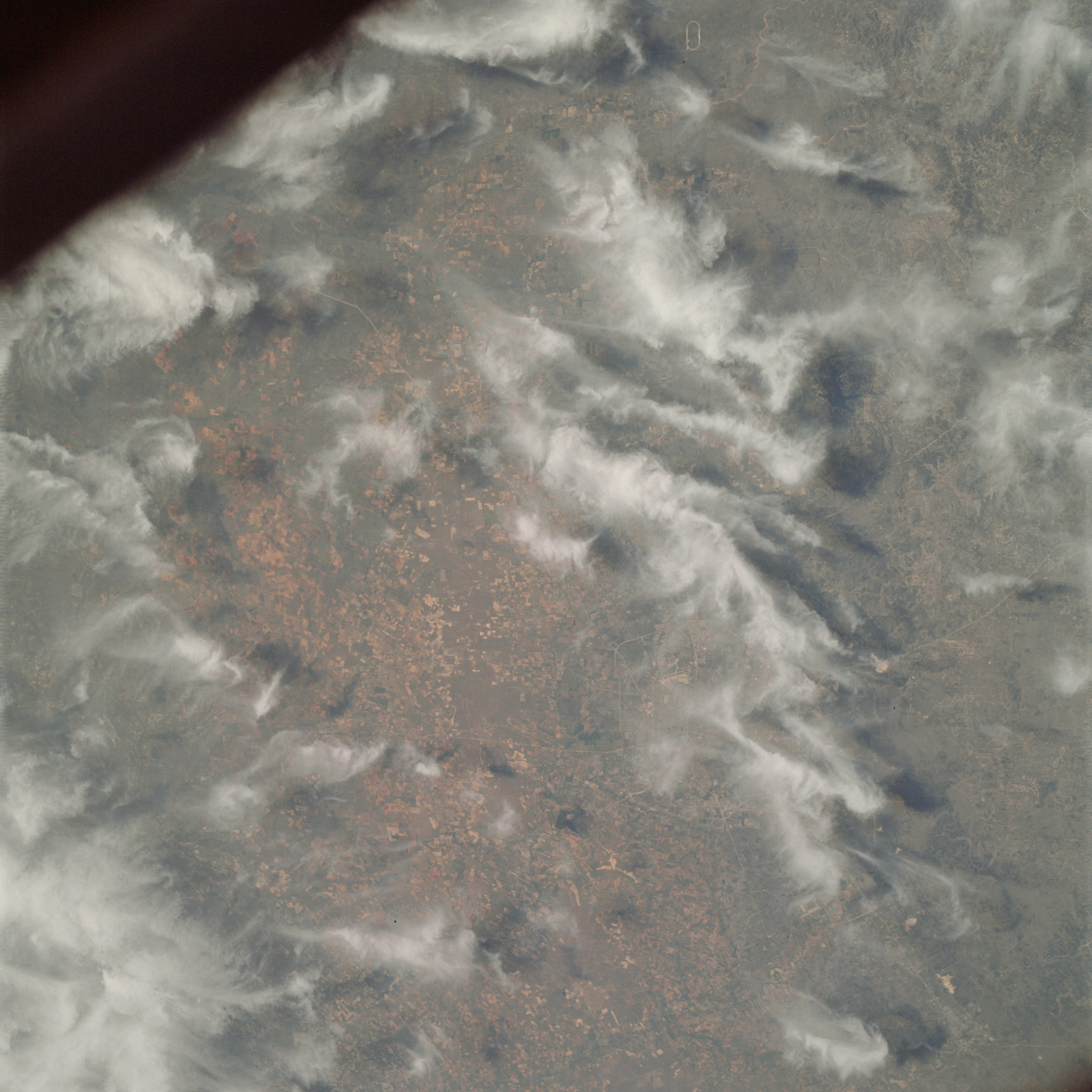 | AS09-21-3310 GEOGRAPHY/CARTOGRAPHY: United States, Texas, San Antonio. GROLOGY/HYDROLOGY: - Boundary of coastal plain and central fertile sedimentary lowlands. AGRICULTURE: Extensive cultivation, heavy concentration of field patterns. FORESTRY: Shrubform with some intermediate size hardwood. METEOROLOGY: Cirrus spissatus. Image credit: Image Science and Analysis Laboratory, NASA-Johnson Space Center. |
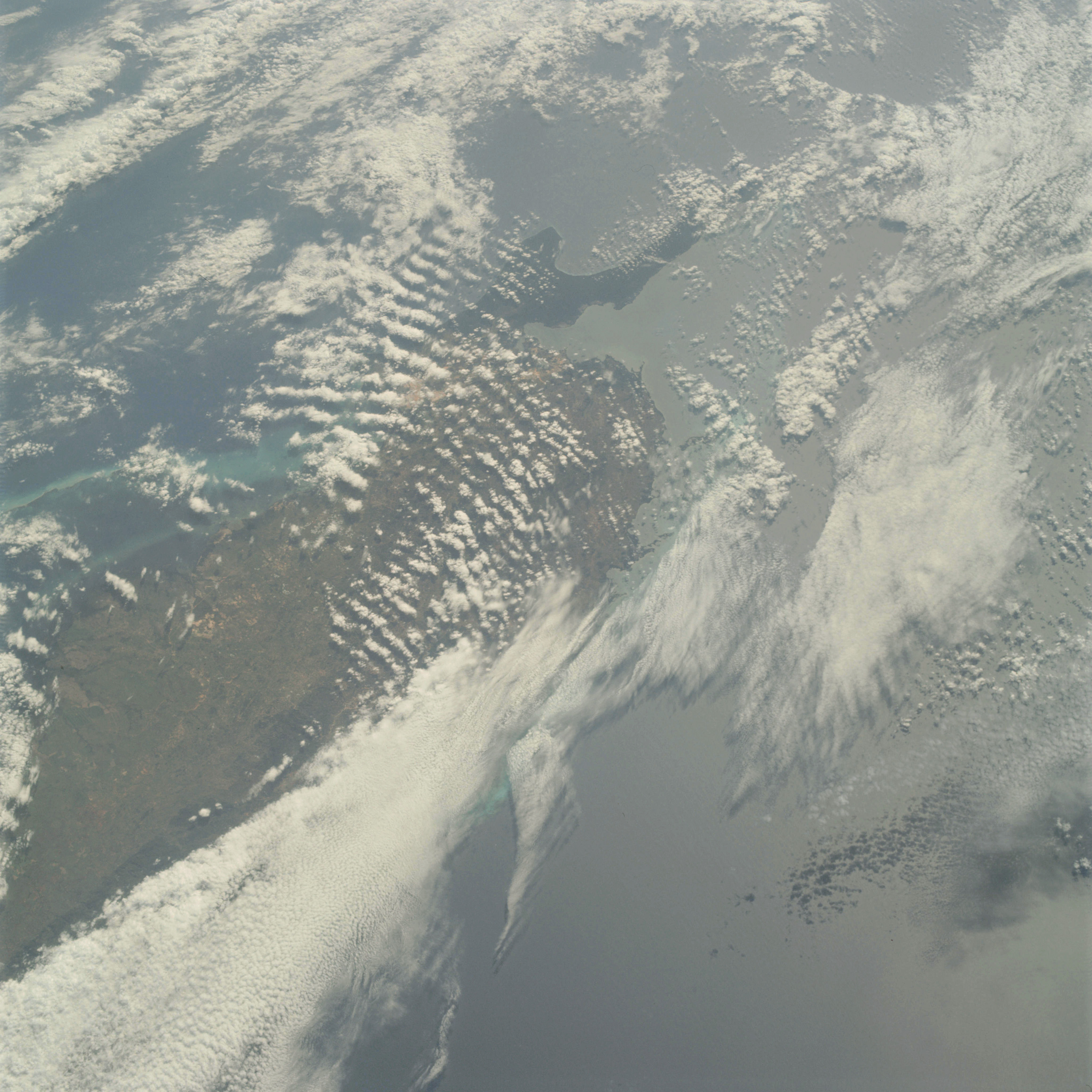 | AS09-21-3311 GEOGRAPHY/CARTOGRAPHY: Cuba, Capes Sen Antonio Corrientes and Francis, Yucatan Channel, Guardian Bay, Town of Pinar del Rio. GEOLOGY/HYDROLOGY: Low plains region. AGRICULTURE: Scattered field patterns, moderate to low concentration of agriculture. FORESTRY: Broadleaf evergreen, semi-dense to dense forest stands. METEOROLOGY: Cirro-cumulus, alto-cumulus, cumulus congestus. Image credit: Image Science and Analysis Laboratory, NASA-Johnson Space Center. |
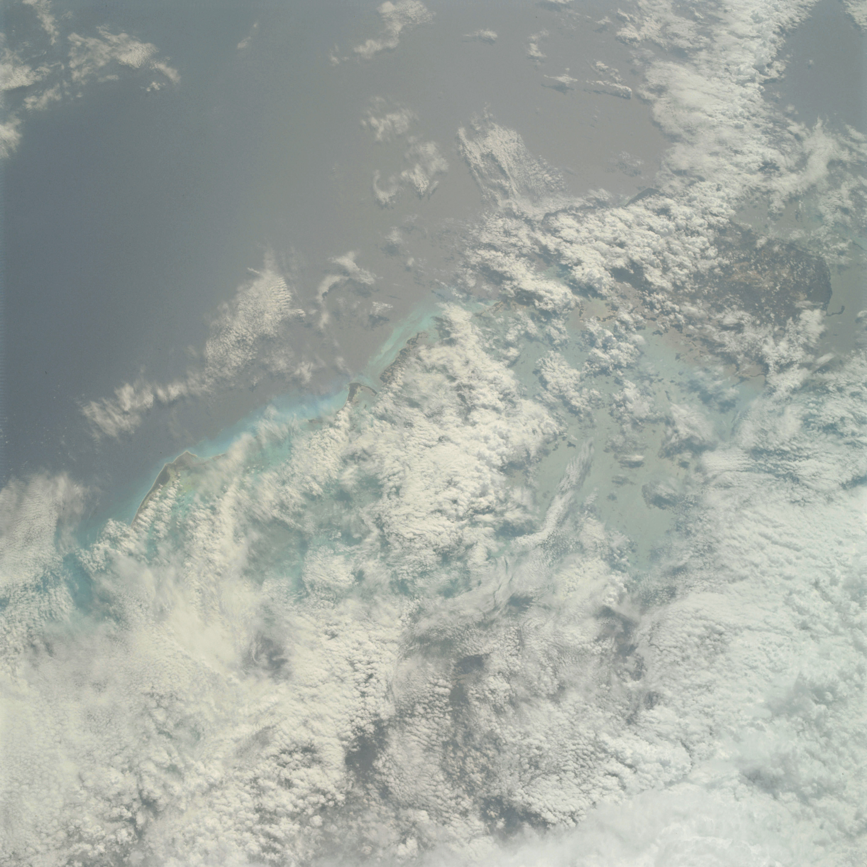 | AS09-21-3312 Normal 50 1943 102 J-26 65 jObl. GEOGRAPHY/CARTOGRAPHY: Cuba, Island of the Pines, Canarreos Archipelago, Gulf of Batabano GEOLOGY/HYDROLOGY: Low plains region METEOROLOGY: Cumulo-nimbus, cumulus congestus, alto-cumulus OCEANOGRAPHY: Caribbean Sea, tonal variations in nearshore zone Image credit: Image Science and Analysis Laboratory, NASA-Johnson Space Center. |
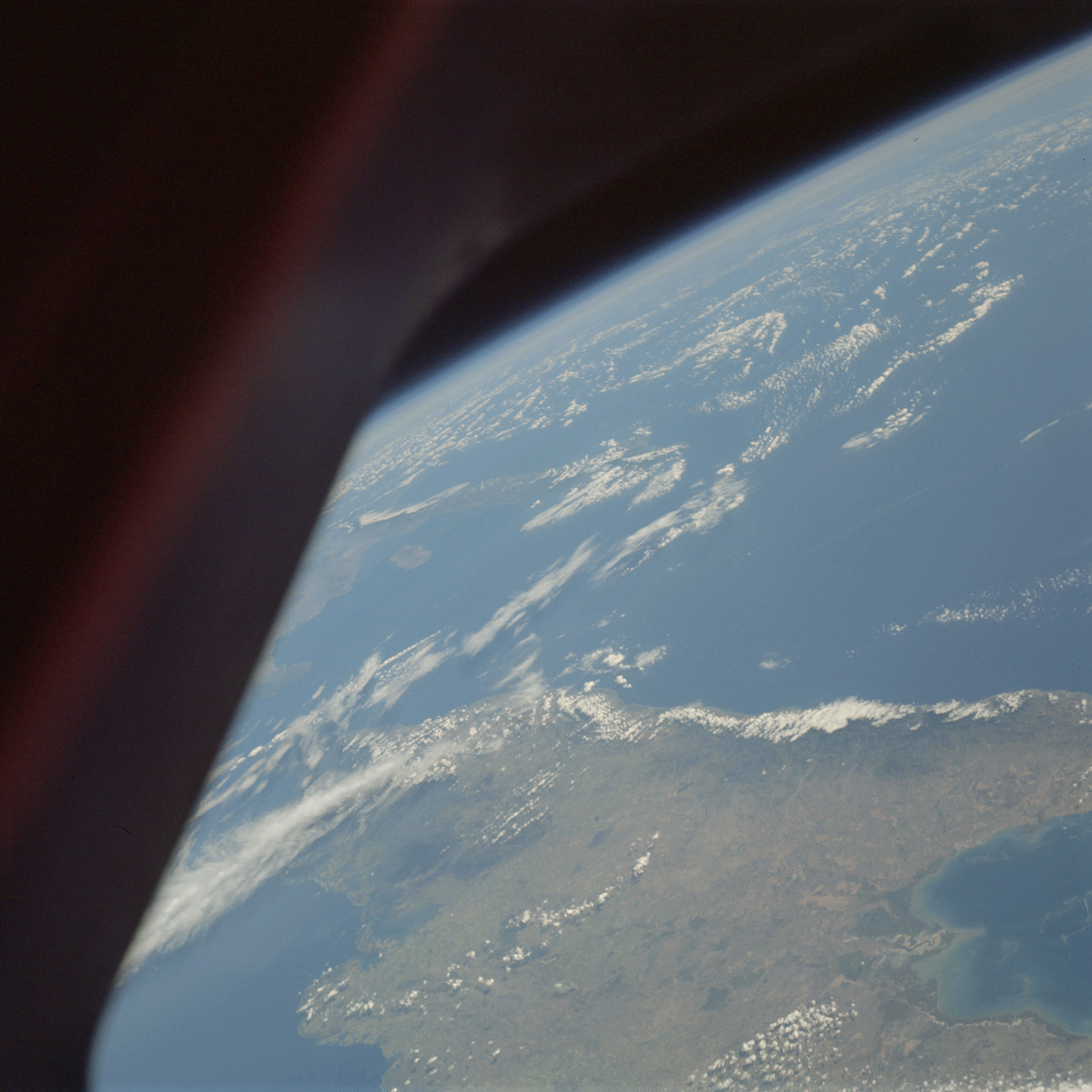 | AS09-21-3313 GEOGRAPHY/CARTOGRAPHY: Cuba, Oriente Province, Gulf of Gualanayabo, Windward Passage, Cape Lucrecia, Nipe Bay, Towns of Manzanillo, Bayamo, and Banes. GEOLOGY/HYDROLOGY: Low plains region. AGRICULTURE: Moderate to heavy cultivation, in Gualanayabo Gulf area. FORESTRY: Broadleaf evergreen forests. METEOROLOGY: Cumulus humilis, alto-cumulus, cirrus fibratus. OCEANOGRAPHY: Caribbean Sea, submarine coral reefs visible, depth variations. Image credit: Image Science and Analysis Laboratory, NASA-Johnson Space Center. |
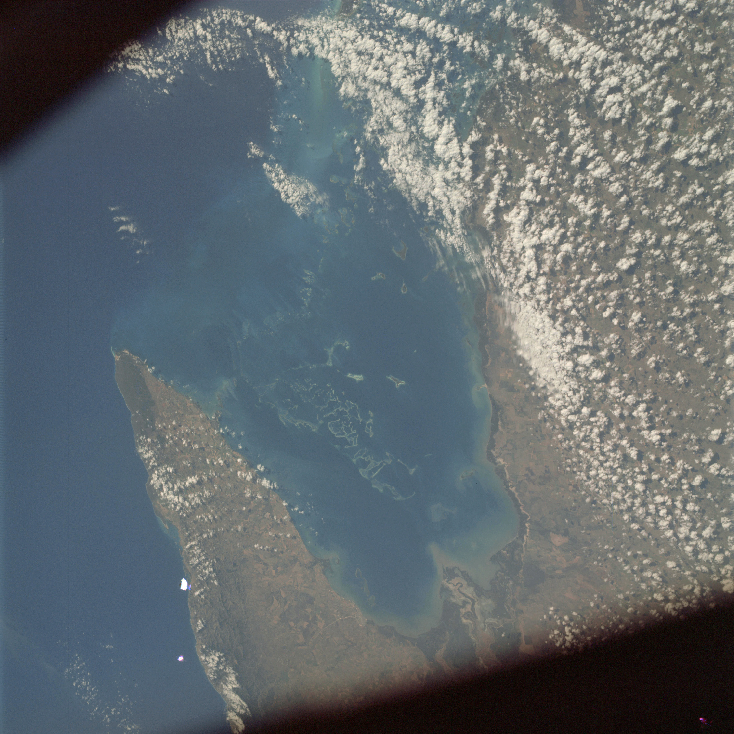 | AS09-21-3314 GEOGRAPHY/CARTOGRAPHY: Cuba, Oriente Province, Gulf of Guacanayabo, Cape Cruz, Sierra Maestra, Town of Manzanillo. GEOLOGY/HYDROLOGY: Plains region, coral reefs, and coastal sedimentation. AGRICULTURE: Numerous field patterns along Gulf of Guacanayabo. FORESTRY: Some broadleaf evergreen forests. METEOROLOGY: Alto-cumulus. OCEANOGRAPHY: Caribbean Sea, submarine topography, coral reefs and depth variations visible. Image credit: Image Science and Analysis Laboratory, NASA-Johnson Space Center. |
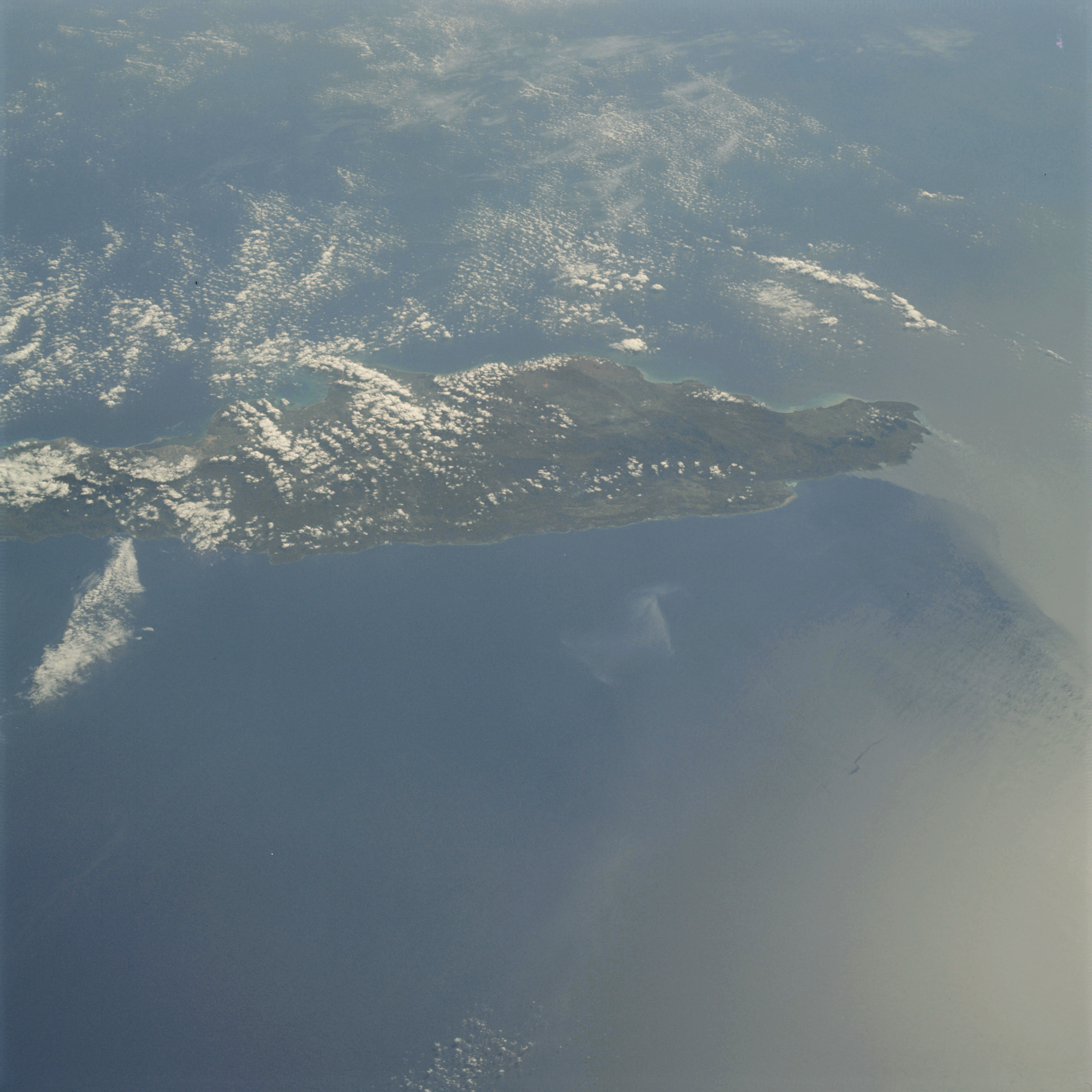 | AS09-21-3315 GEOGRAPHY/CARTOGRAPHY: Jamaica, Montego Bay, North and South Negril Point, Town of Montego Bay. GEOLOGY/HYDROLOGY: Complex plateau and hills of sedimentary and igneous origin. AGRICULTURE: Some field patterns visible. FORESTRY: In general, broadleaf evergreen. METEOROLOGY: Cumulus humilis, cumulus congestus. OCEANOGRAPHY: Caribbean Sea, sun glint, current patterns and possible swell patterns. Image credit: Image Science and Analysis Laboratory, NASA-Johnson Space Center. |
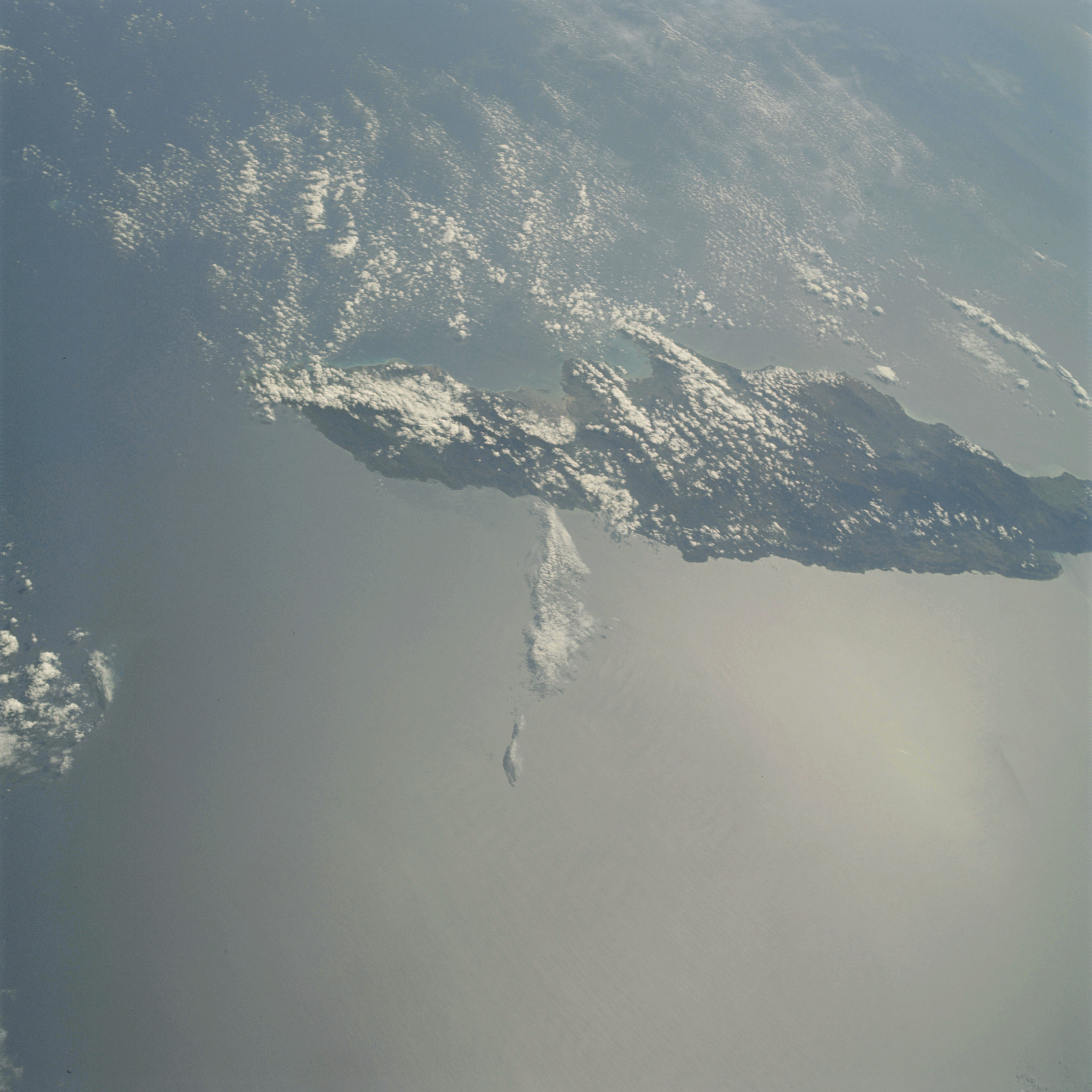 | AS09-21-3316 GEOGRAPHY/CARTOGRAPHY: Jamaica, Morant Point, Portland Bight, City of Kingston. GEOLOGY/HYDROLOGY: Complex plateau region, sedimentary and igneous beds. METEOROLOGY: Cirro-cumulus, cumulus humilis, cumulus congestus. OCEANOGRAPHY: Caribbean Sea, sunglint, possible swell patterns. Image credit: Image Science and Analysis Laboratory, NASA-Johnson Space Center. |
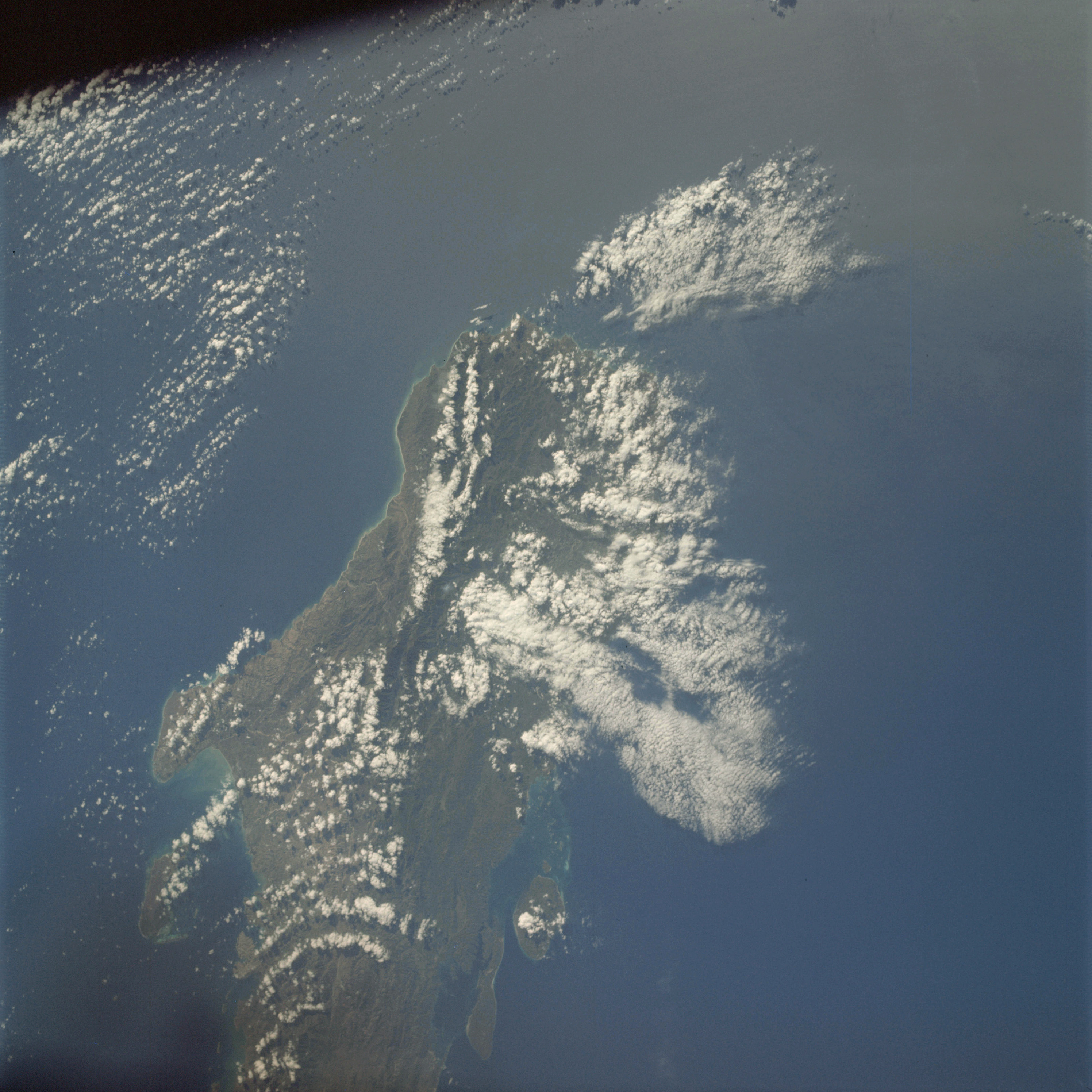 | AS09-21-3317 GEOGRAPHY/CARTOGRAPHY: Haiti, Cape Carcasse, Massie de la Hotte, Vache Island, Towns of Jeremie, and Les Cayes. GEOLOGY/HYDROLOGY: Complex mountains of igneous and sedimentary origin. FORESTRY: Rainforest, broadleaf evergreen. METEOROLOGY: Alto-cumulus, cumulus congestus, cumulus humilis. OCEANOGRAPHY: Caribbean Sea, depth variations visible near island. Image credit: Image Science and Analysis Laboratory, NASA-Johnson Space Center. |
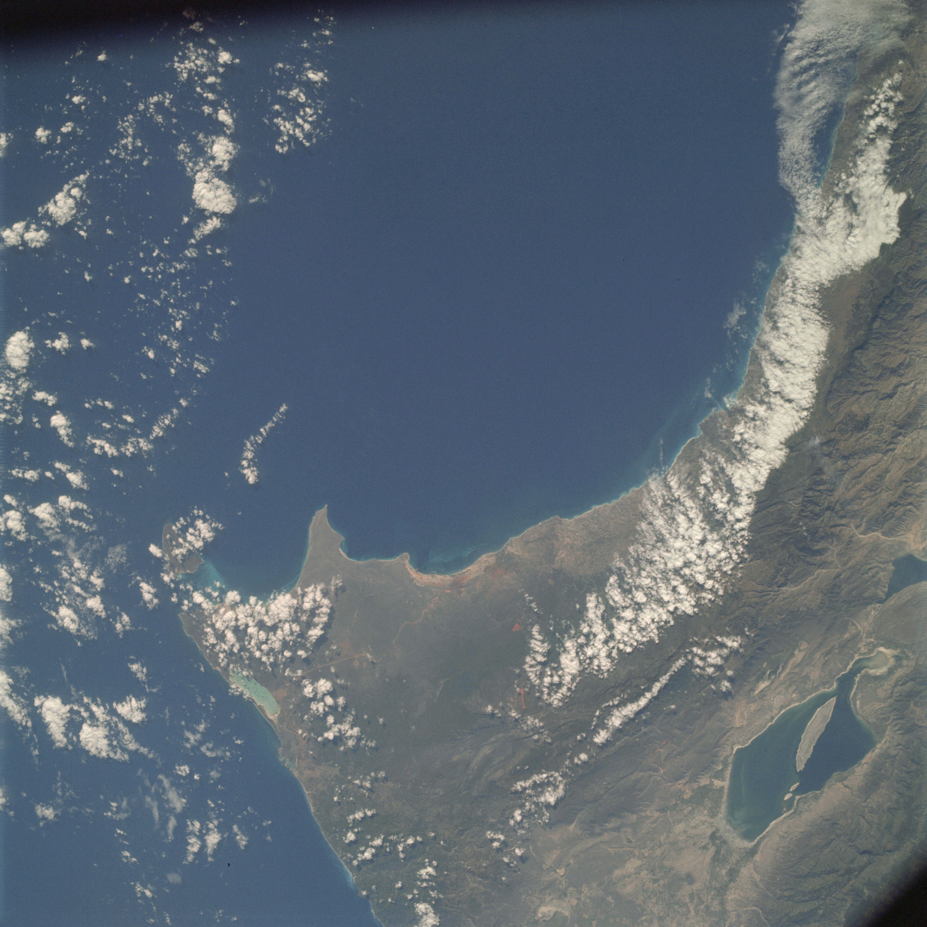 | AS09-21-3318 GEOGRAPHY/CARTOGRAPHY: Haiti, Dominican Republic, Capes Beata and Falso, Lake Enriquillo, Town of Pedernales. GEOLOGY/HYDROLOGY: Complex mountains of igneous and sedimentary origin, plateaus and coastal plain areas. AGRICULTURE: Some irregular shaped field patterns. FORESTRY: Broadleaf evergreen. METEOROLOGY: Cumulus humilis, cumulus congestus. OCEANOGRAPHY: Tonal differences near coastal areas indicate ocean depth variations. Image credit: Image Science and Analysis Laboratory, NASA-Johnson Space Center. |
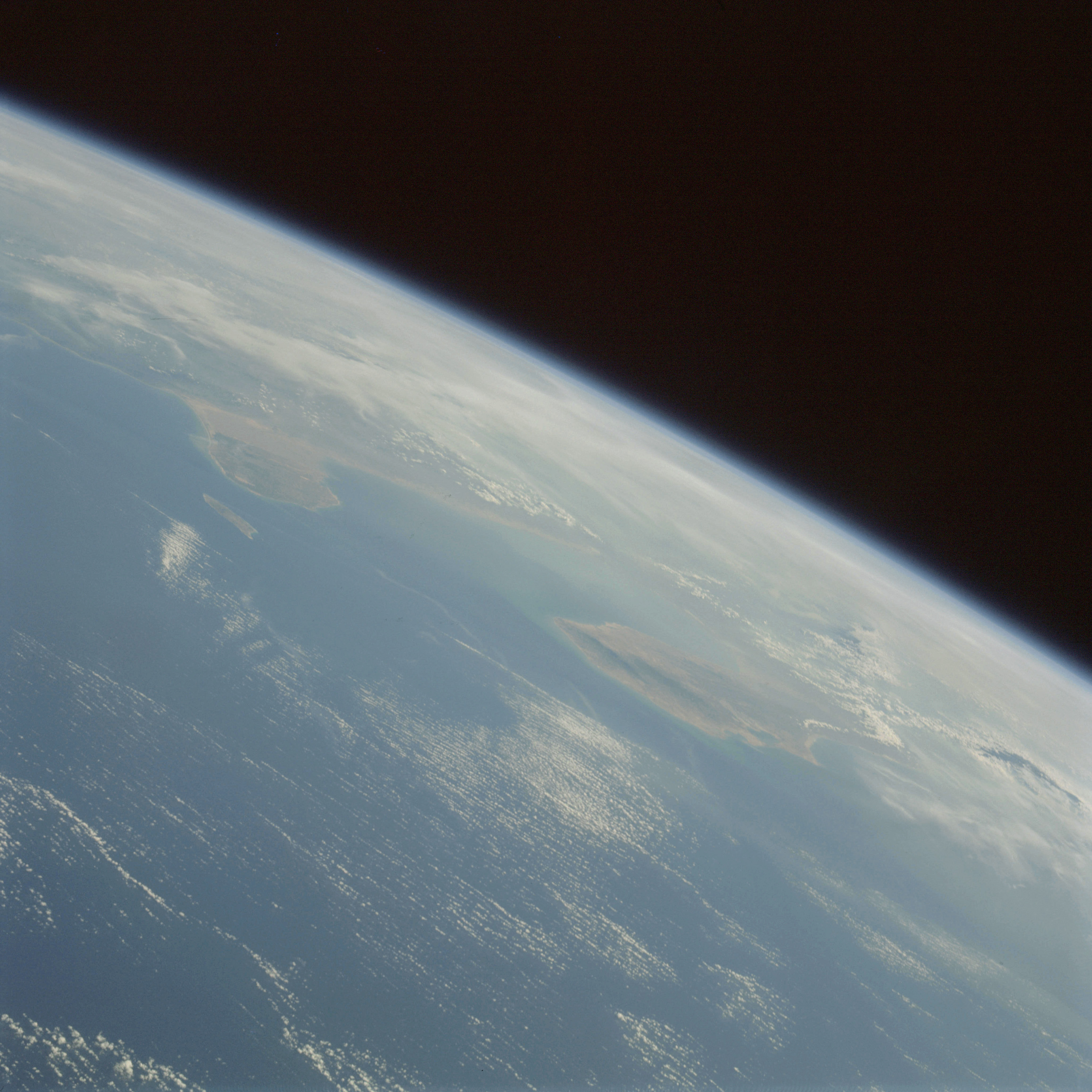 | AS09-21-3319 GEOGRAPHY/CARTOGRAPHY: South America, Venezuela, Colombia, Gulf of Venezuela, Paraguana Peninsula, Aruba Island, Cities of Santa Marta Riohacha, Punto Fijo, and Maracaibo, Caribbean Sea. GEOLOGY/HYDROLOGY: Coastal plains and complex plateau regions. METEOROLOGY: Cirro-cumulus, cumulus congestus, cumulo-nimbus. Image credit: Image Science and Analysis Laboratory, NASA-Johnson Space Center. |
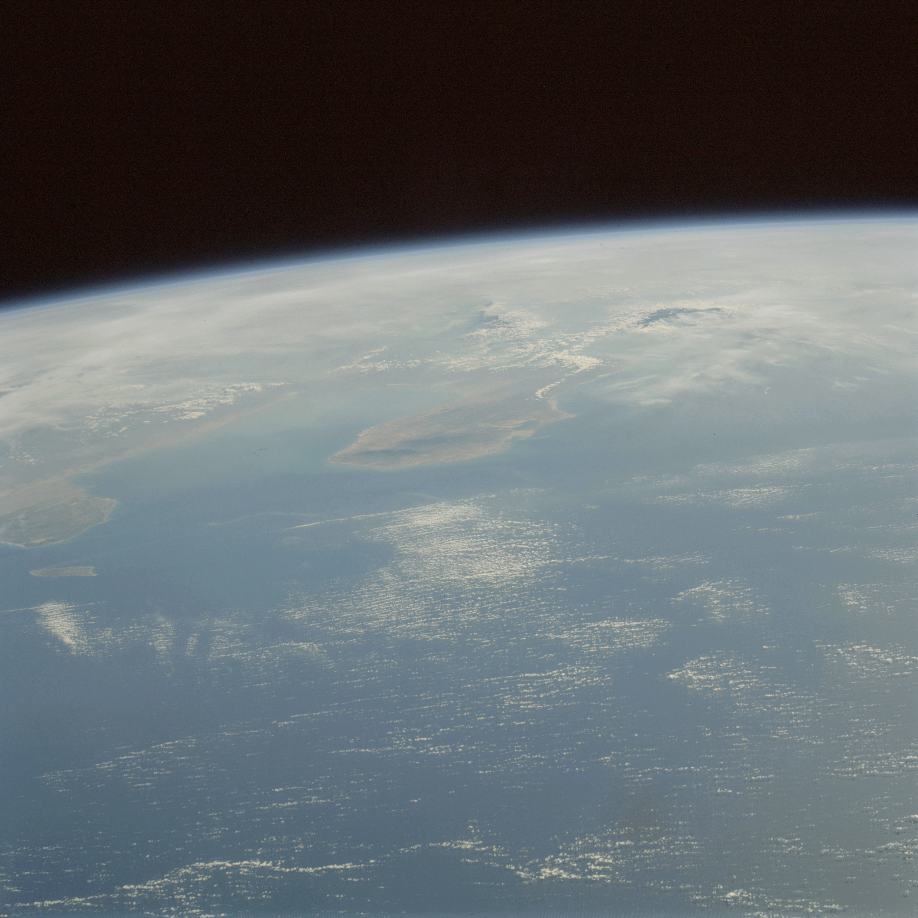 | AS09-21-3320 GEOGRAPHY/CARTOGRAPHY: South America, Venezuela, Colombia, Gulf of Venezuela, Paraguana Peninsula, Guajira Peninsula, Aruba Island, Sierra Nevada de Santa Marta, Cities of Riohacha and Punto Fijo. GEOLOGY/HYDROLOGY: Coastal plains and complex plateau regions. METEOROLOGY: Cirro-cumulus, cumulus congestus, cumulo-nimbus. Image credit: Image Science and Analysis Laboratory, NASA-Johnson Space Center. |
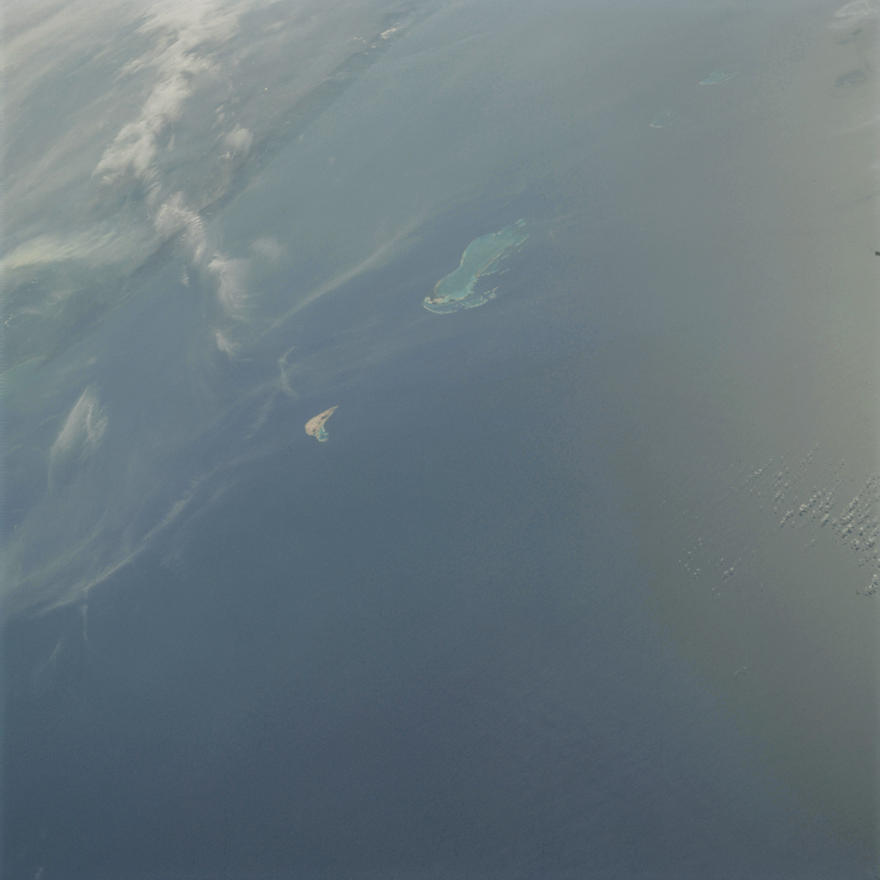 | AS09-21-3321 GEOGRAPHY/CARTOGRAPHY: Lesser Antilles, Les Roques Islands, Orchila Island, Venezuelan coast near Caracas also visible. GEOLOGY/HYDROLOGY: Volcanic and coral islands. METEOROLOGY: Cirrus fibratus, alto-stratus. OCEANOGRAPHY: Caribbean Sea, coral reefs and islands, sunglint. Image credit: Image Science and Analysis Laboratory, NASA-Johnson Space Center. |
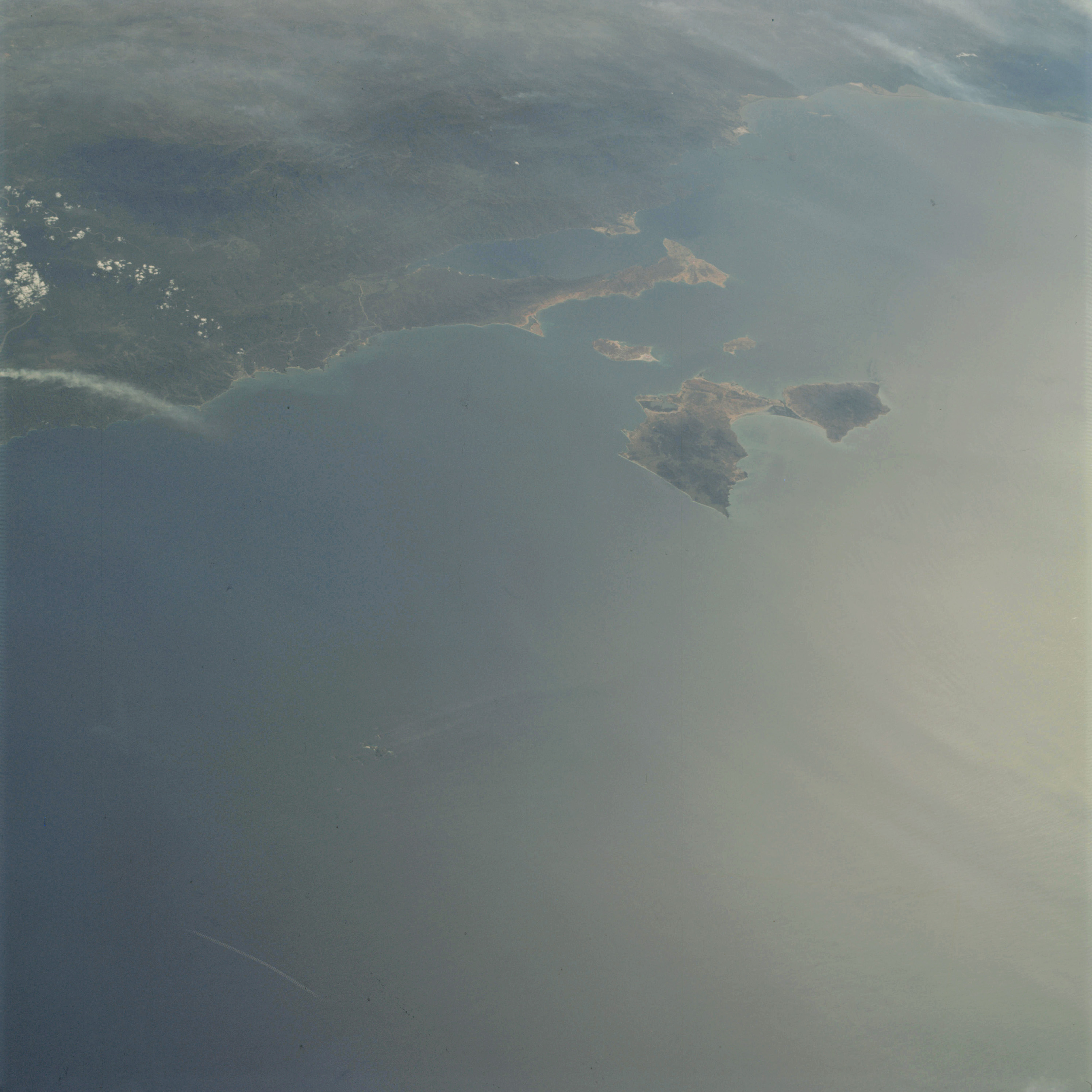 | AS09-21-3322 GEOGRAPHY/CARTOGRAPHY: South America, Venezuela, Araya Peninsula, Margarita Island, Towns of Porlamar, Cumana, Barcelona and Puerto la Cruz. GEOLOGY/HYDROLOGY: Complex mountain region. FORESTRY: Dense vegetation inland. METEOROLOGY: Cumulus humilis. OCEANOGRAPHY: Caribbean Sea, sun glint, some swell patterns. Image credit: Image Science and Analysis Laboratory, NASA-Johnson Space Center. |
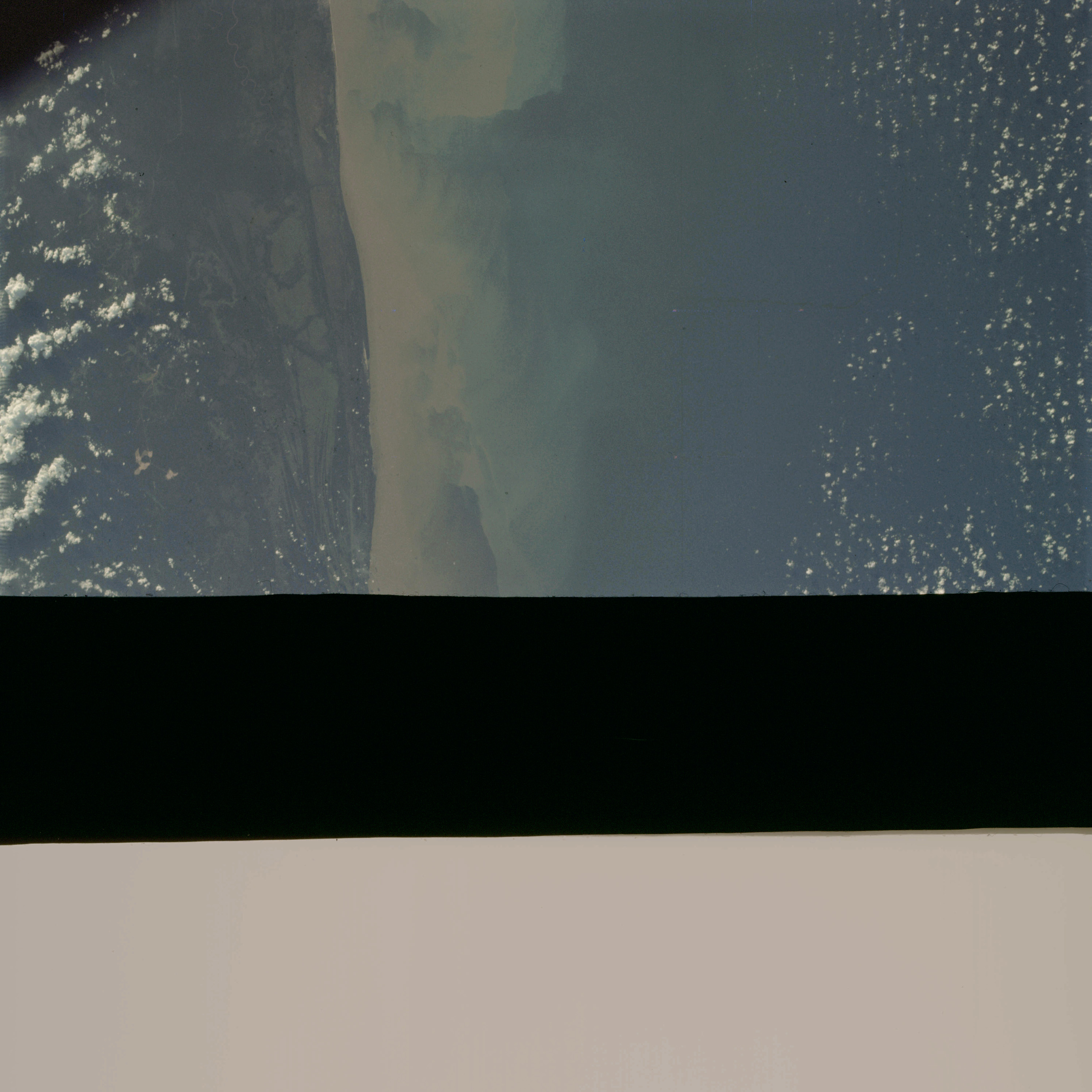 | AS09-21-3323 Partial frame. Image credit: Image Science and Analysis Laboratory, NASA-Johnson Space Center. |
|
|
|
| 70-mm magazine E - AS09-20-3053 to 3177 |
Photography Index | 70-mm magazine C - AS09-22-3324 to 3474 |