
 |
 |
 |
| 70-mm magazine C - AS09-22-3324 to 3474 |
Photography Index | 70-mm magazine F - AS09-24-3619 to 3681 |
No copyright is asserted for NASA photographs. If a recognizable person appears in a photo, use for commercial purposes may infringe a right of privacy or publicity. Photos may not be used to state or imply the endorsement by NASA or by any NASA employee of a commercial product, process or service, or used in any other manner that might mislead. Accordingly, it is requested that if a NASA photograph is used in advertising and other commercial promotion, layout and copy be submitted to NASA prior to release. NASA photos reproduced from this archive should include photo credit to "NASA" or "National Aeronautics and Space Administration" and should include scanning credit to the appropriate individuals or agencies as noted in the captions.
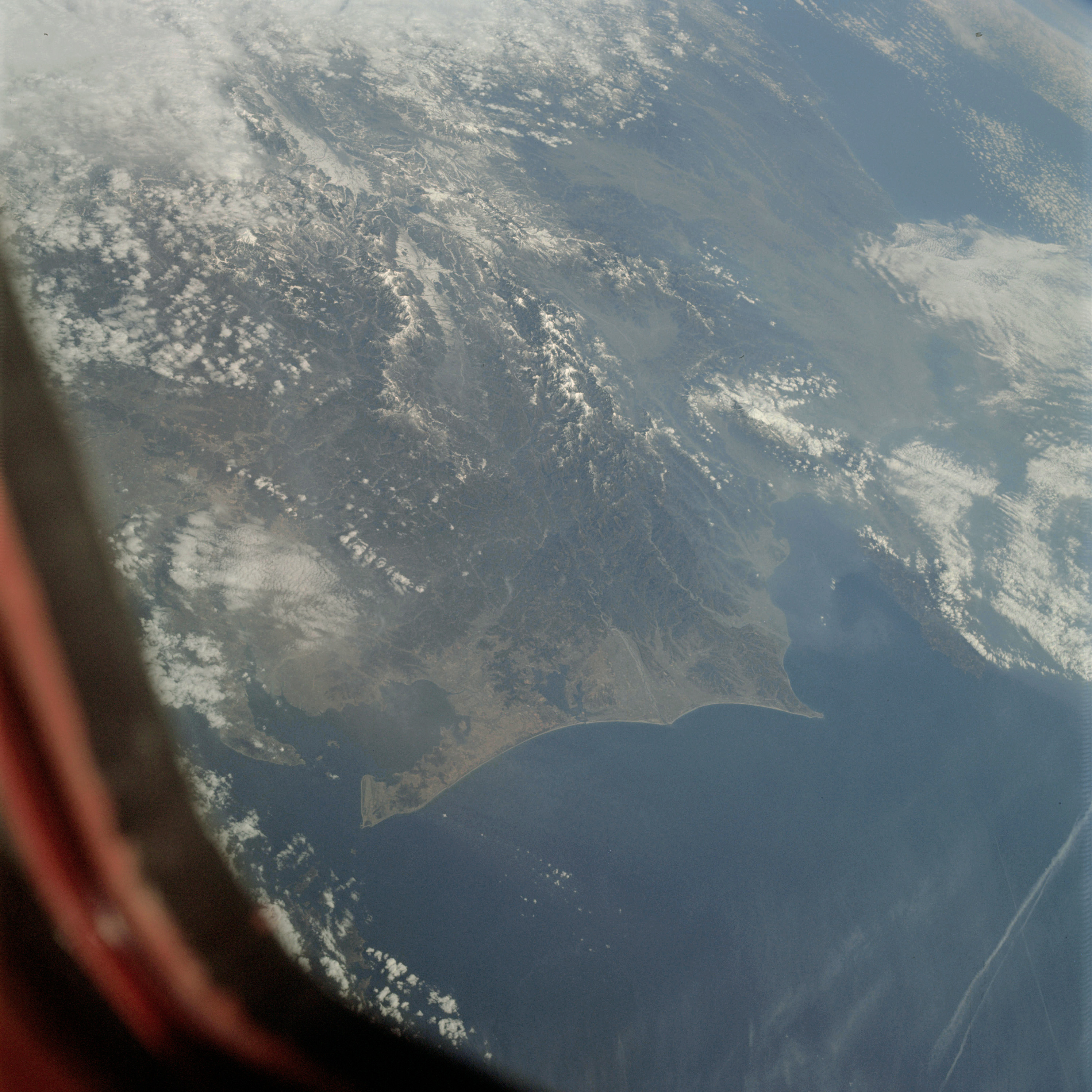 | AS09-23-3475 GEOGRAPHY/CARTOGRAPHY: Japan, Mt. Fujiyama, Island of Honshu. GEOLOGY/HYDROLOGY: Volcanic mountains. AGRICULTURE: Extensive cultivated areas. FORESTRY: Mixed forest stands on higher elevations. METEOROLOGY: Cumulus, strato-cumulus. OCEANOGRAPHY: Ocean depth variations. Image credit: Image Science and Analysis Laboratory, NASA-Johnson Space Center. |
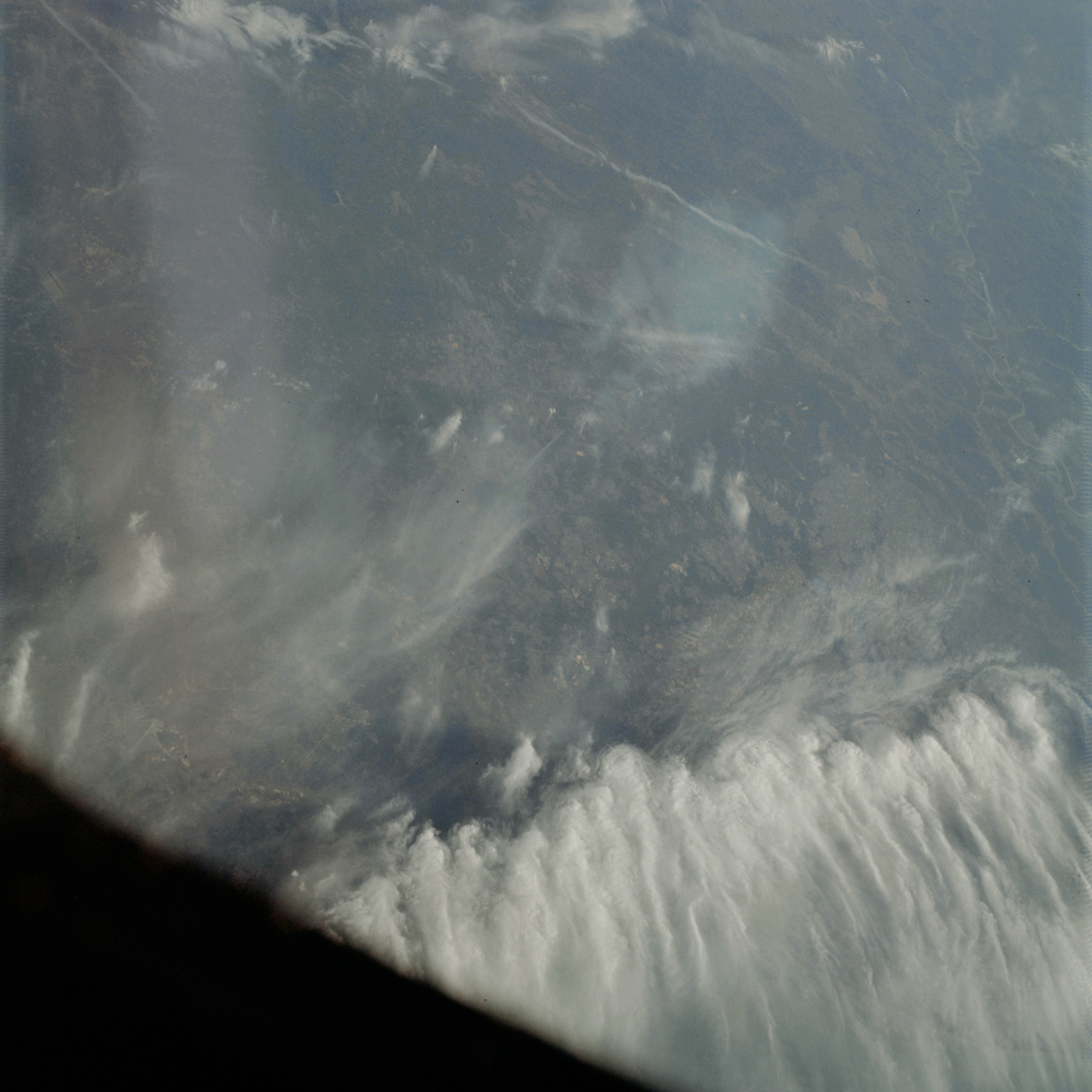 | AS09-23-3476 GEOGRAPHY/CARTOGRAPHY: Texas, Beaumont, Louisiana, Lake Charles, Mississippi River between Natchez and Baton Rouge. GEOLOGY/HYDROLOGY: Mississippi River alluvial plain. AGRICULTURE: Scattered cultivated areas. FORESTRY: Extensive mixed-forest areas. METEOROLOGY: Towering cumulus, cirrus. Image credit: Image Science and Analysis Laboratory, NASA-Johnson Space Center. |
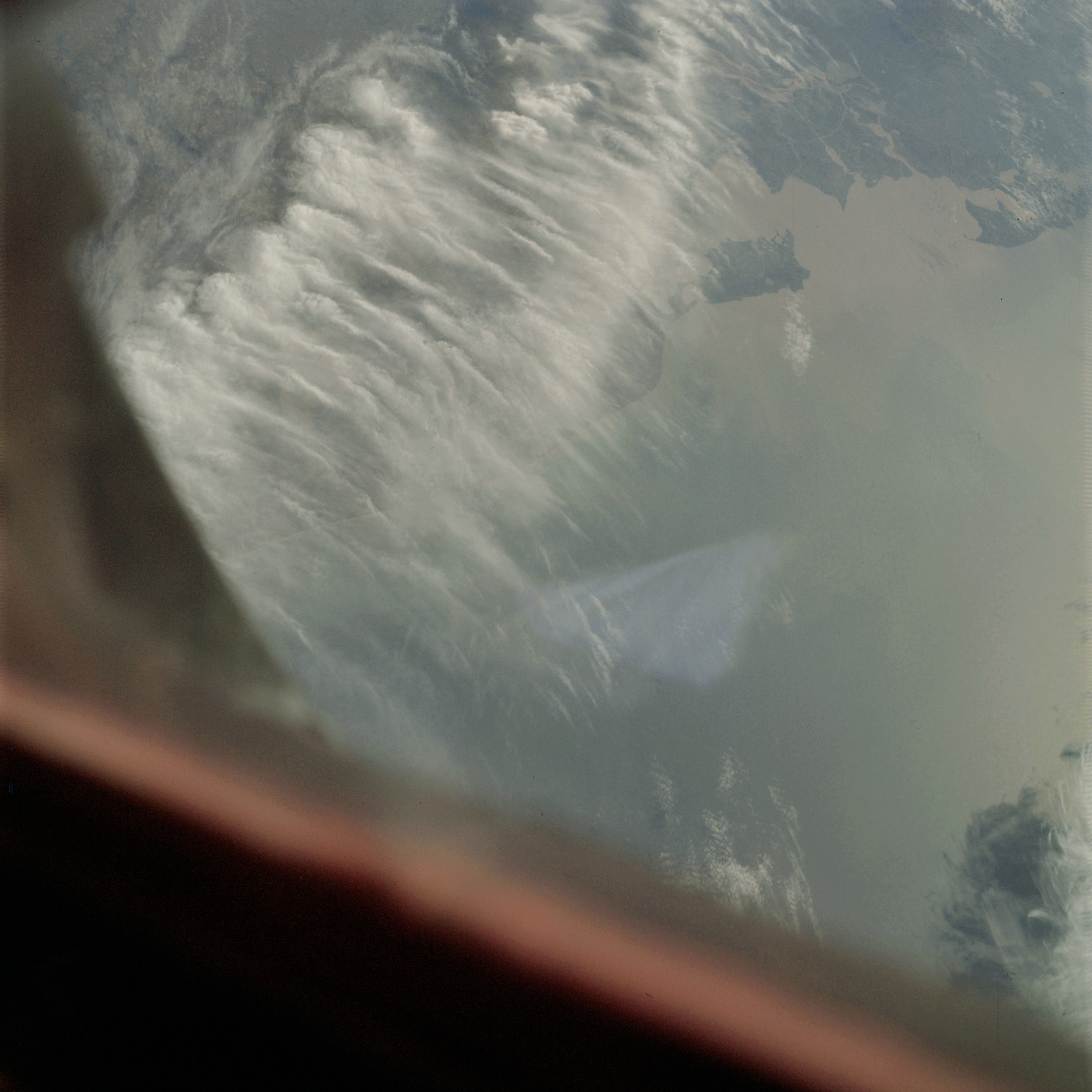 | AS09-23-3477 GEOGRAPHY/CARTOGRAPHY: Louisiana, Vermilion Bay to Atachafalaya Bay. GEOLOGY/HYDROLOGY: Coastal plain, extensive alluvial deposits. AGRICULTURE: Scattered cultivated areas. FORESTRY: Extensive tree-covered areas. METEOROLOGY: Towering cumulus, cirrus. OCEANOGRAPHY: Alluvial sediment deposits. Ocean depth variations. Image credit: Image Science and Analysis Laboratory, NASA-Johnson Space Center. |
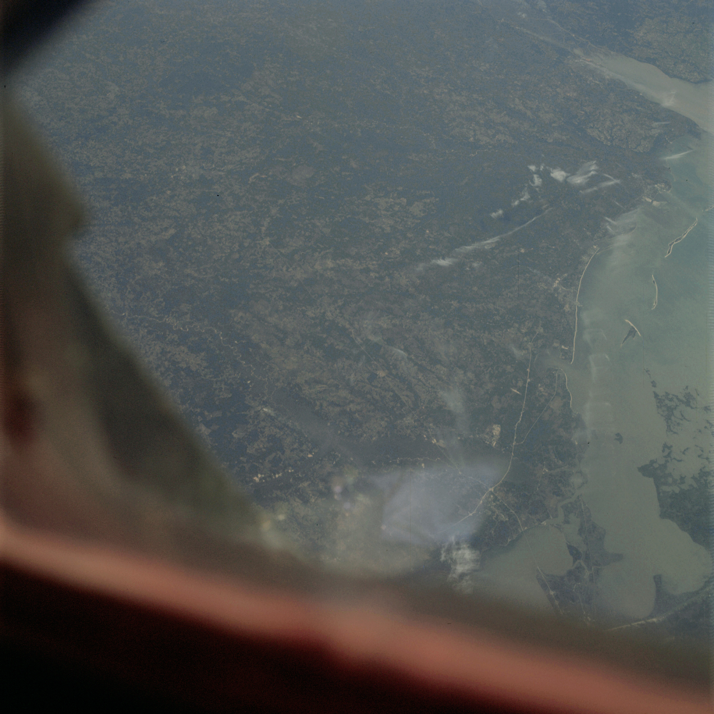 | AS09-23-3478 GEOGRAPHY/CARTOGRAPHY: Louisiana, Alabama, New Orleans to Mobile Alabama. Regional transportation network. GEOLOGY/HYDROLOGY: Coastal plain. AGRICULTURE: Large number of cultivated areas. FORESTRY: Extensive mixed-forest areas. Image credit: Image Science and Analysis Laboratory, NASA-Johnson Space Center. |
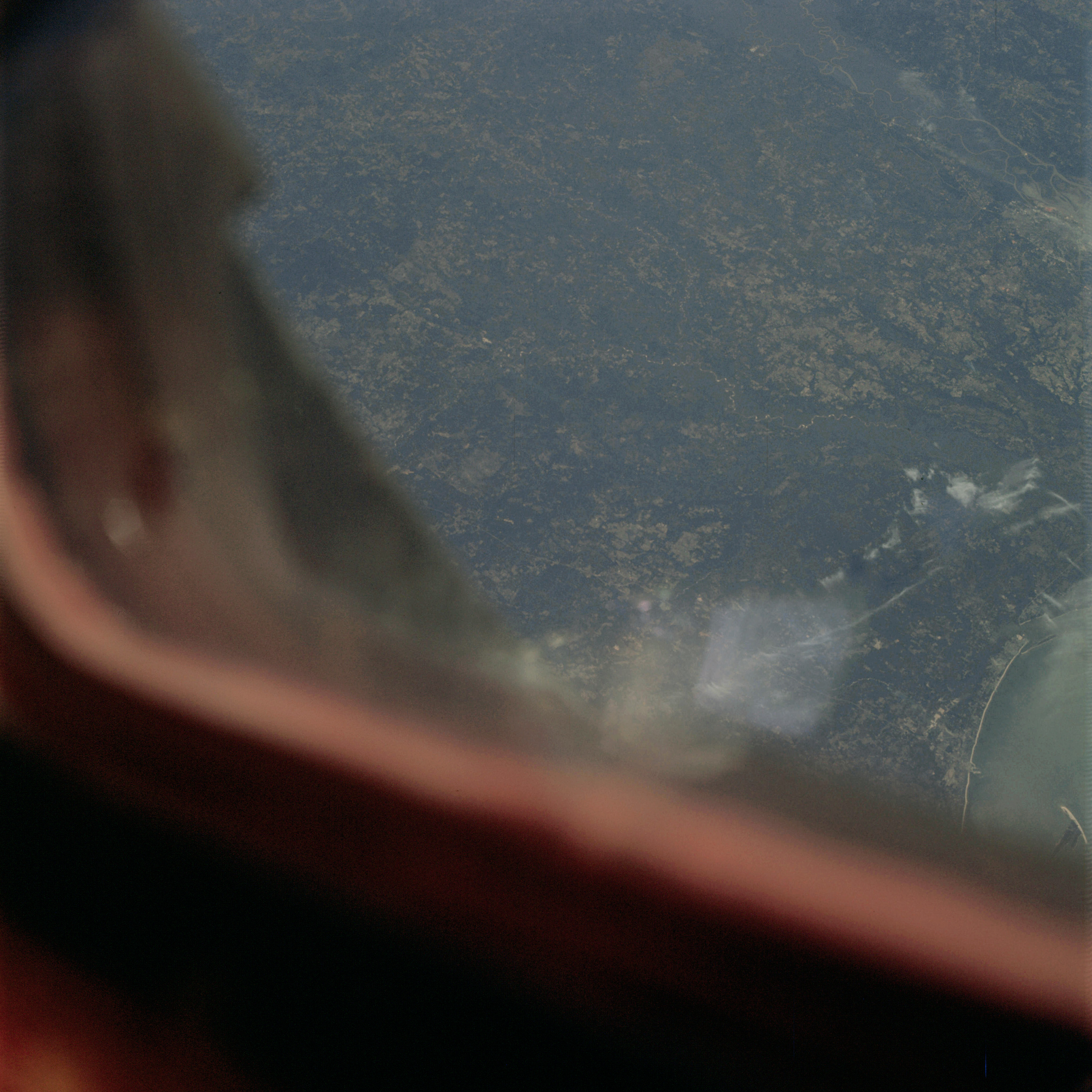 | AS09-23-3479 GEOGRAPHY/CARTOGRAPHY: Mississippi, Biloxi. GEOLOGY/HYDROLOGY: Coastal plain. AGRICULTURE: Large number of cultivated areas. FORESTRY: Extensive mixed-forest areas. Image credit: Image Science and Analysis Laboratory, NASA-Johnson Space Center. |
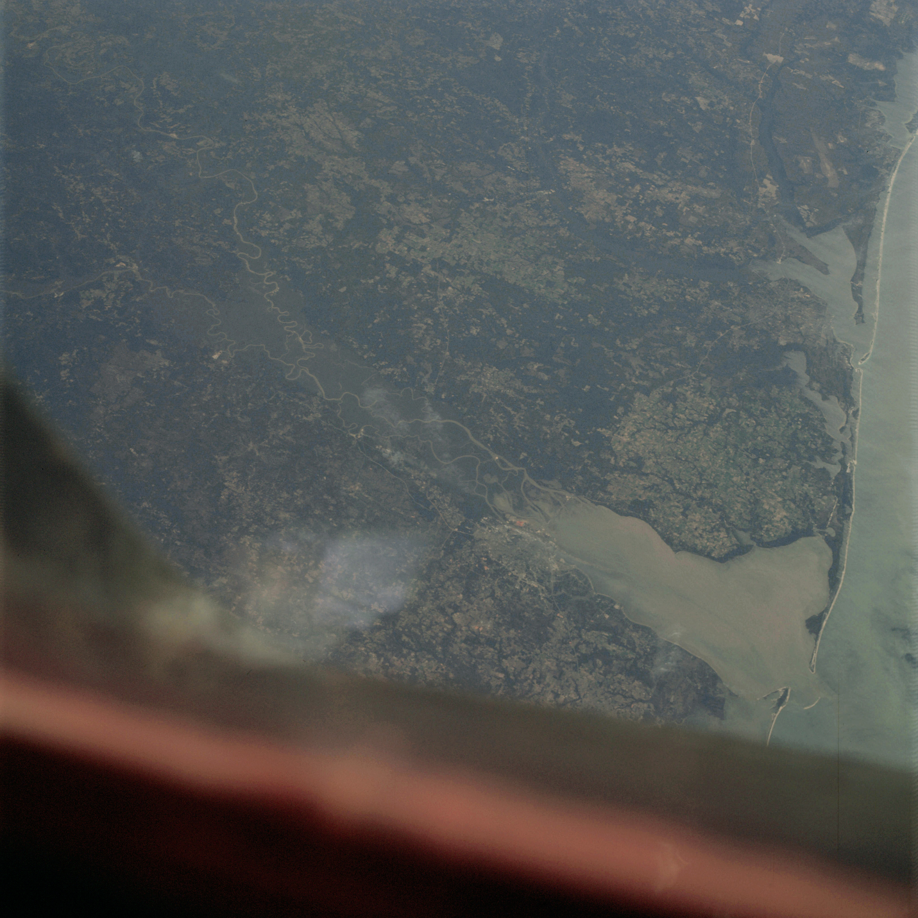 | AS09-23-3480 GEOGRAPHY/CARTOGRAPHY: Alabama, Mobile, Florida, Pensacola. GEOLOGY/HYDROLOGY: Coastal plain. Trellis drainage. AGRICULTURE: Intensive cultivation. FORESTRY: Extensive mixed-forest areas. OCEANOGRAPHY: Alluvial sediment deposits. Depth variations. Image credit: Image Science and Analysis Laboratory, NASA-Johnson Space Center. |
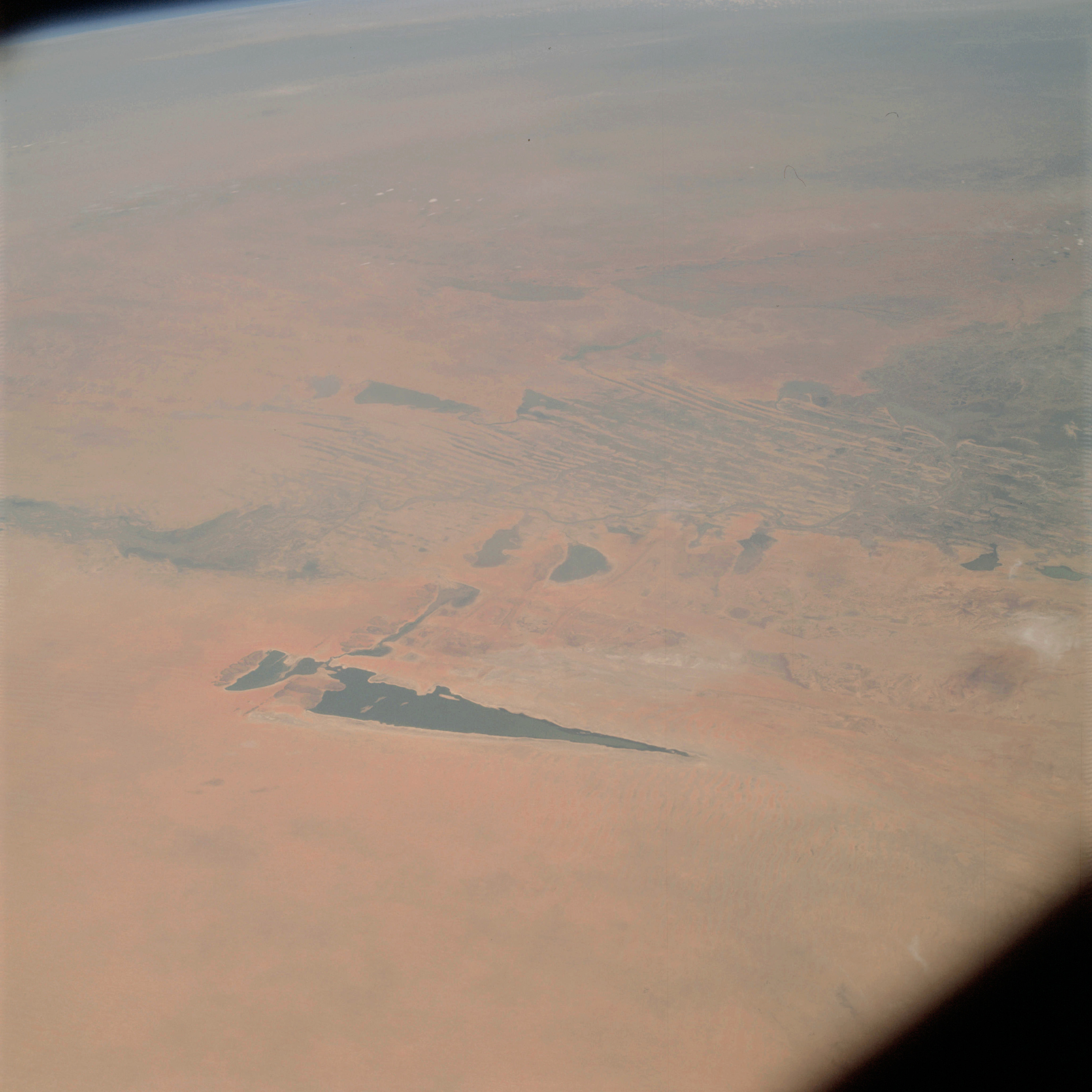 | AS09-23-3481 GEOGRAPHY/CARTOGRAPHY: Mali, lake Fagubine. GEOLOGY/HYDROLOGY: Complex metamorphic plateau. AGRICULTURE: Scattered range land. FORESTRY: Savanna grassland. Image credit: Image Science and Analysis Laboratory, NASA-Johnson Space Center. |
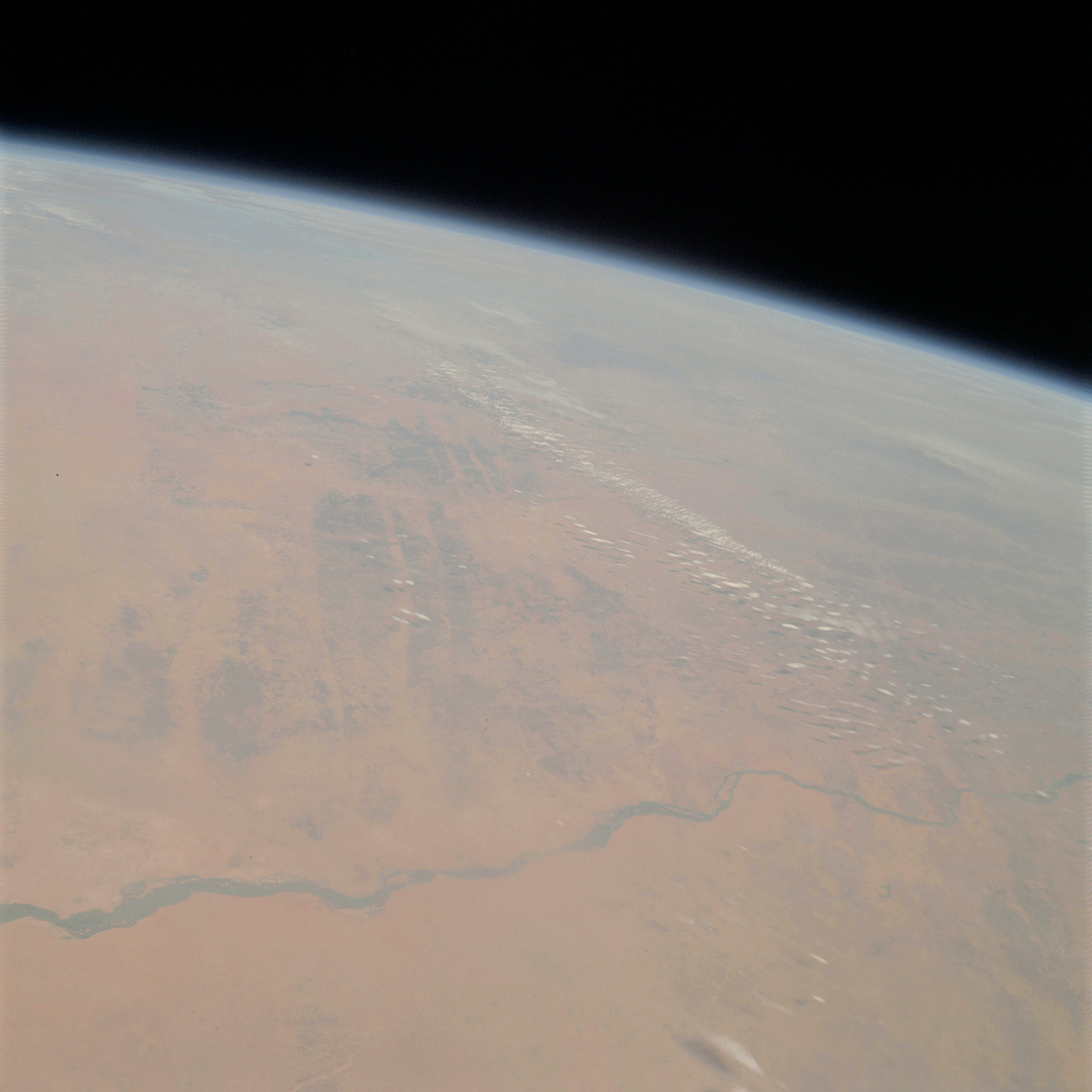 | AS09-23-3482 GEOGRAPHY/CARTOGRAPHY: Mali, Niger, Niger River. GEOLOGY/HYDROLOGY: Complex metamorphic plateau. AGRICULTURE: Scattered farms. FORESTRY: Savanna grassland. METEOROLOGY: Small cumulus. Image credit: Image Science and Analysis Laboratory, NASA-Johnson Space Center. |
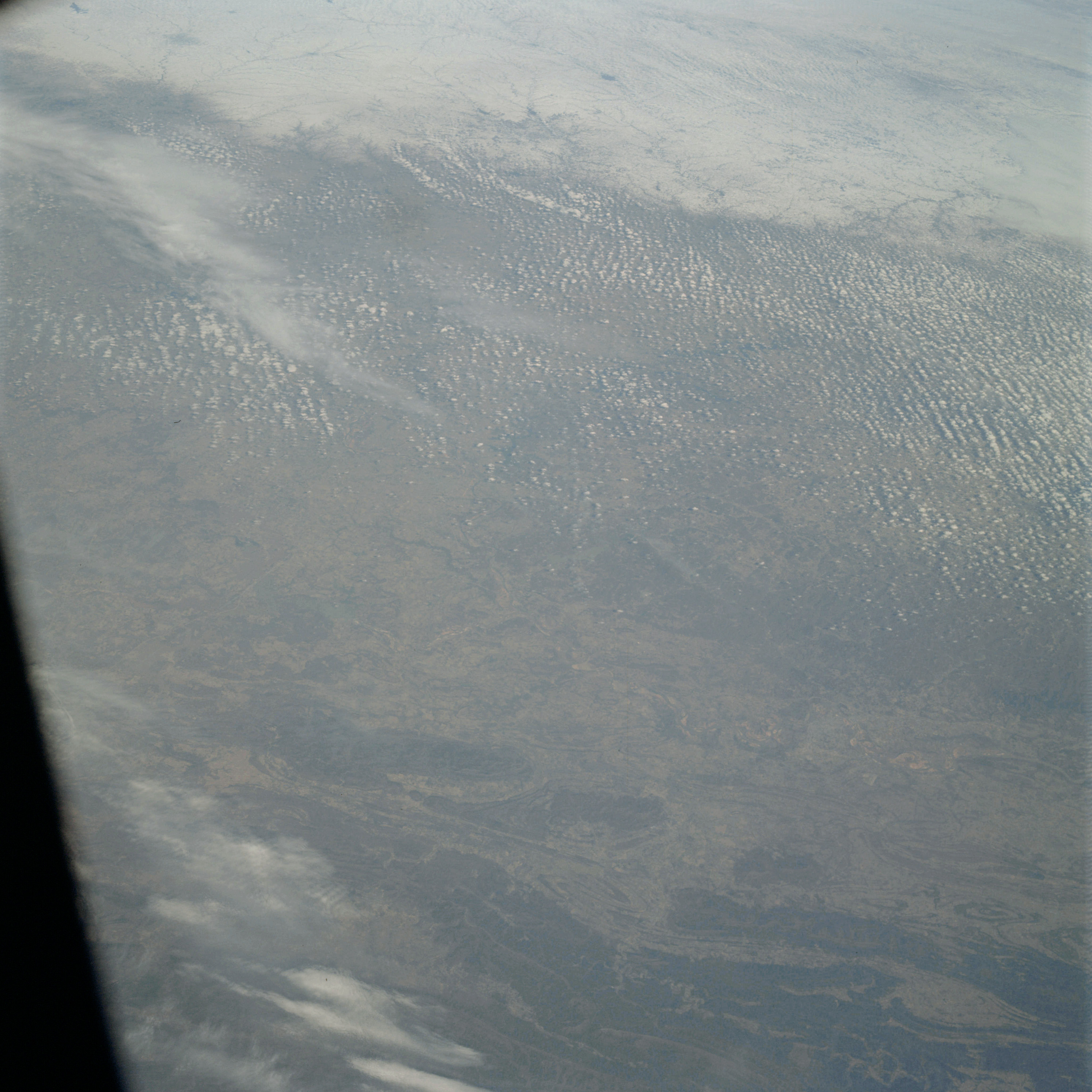 | AS09-23-3483 GEOGRAPHY/CARTOGRAPHY: Arkansas, Arkansas and Canadian River Junction, Ft. Smith. GEOLOGY/HYDROLOGY: Athens Plateau, Ouachita Mountains - complex fold mountains, erosion surface. AGRICULTURE: Scattered cultivated areas. FORESTRY: Extensive mixed-forest areas. METEOROLOGY: Cumulus, alto-cumulus. Image credit: Image Science and Analysis Laboratory, NASA-Johnson Space Center. |
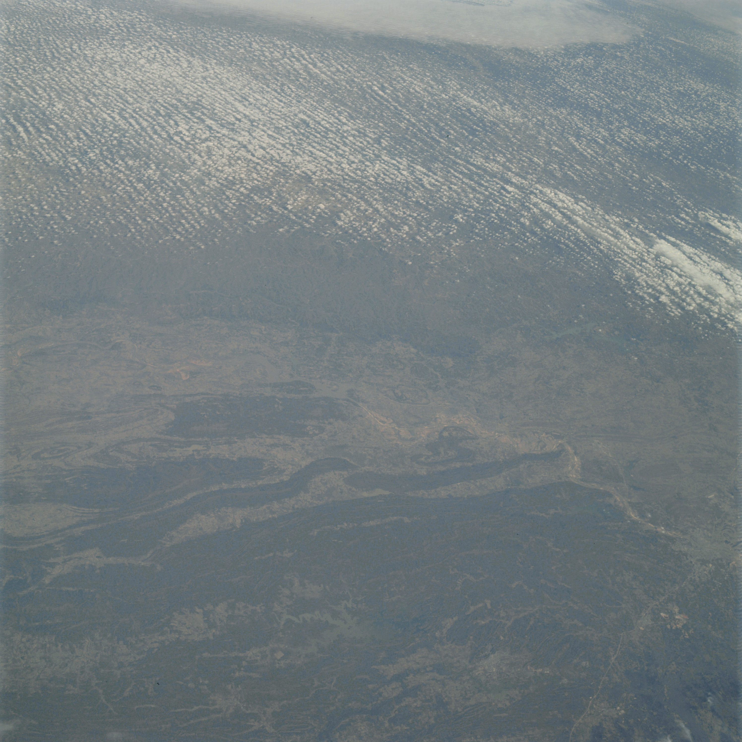 | AS09-23-3484 GEOGRAPHY/CARTOGRAPHY: Arkansas, Dardenells Reservoir, Arkansas River. GEOLOGY/HYDROLOGY: Complex fold mountains, erosion surface. AGRICULTURE: Scattered cultivated areas. FORESTRY: Extensive mixed-forest areas. METEOROLOGY: Cumulus. Image credit: Image Science and Analysis Laboratory, NASA-Johnson Space Center. |
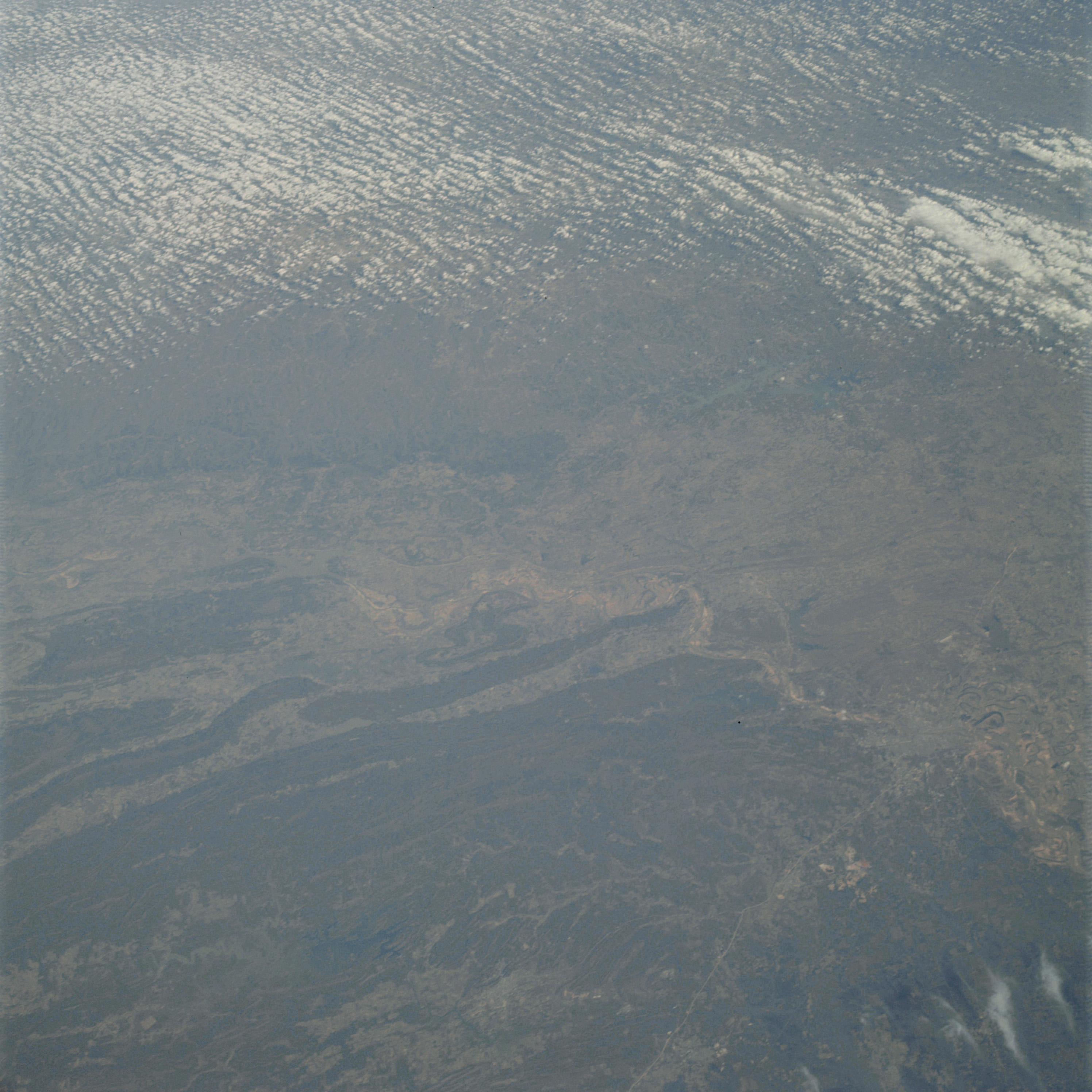 | AS09-23-3485 GEOGRAPHY/CARTOGRAPHY: Arkansas, Little Rock, Arkansas River. GEOLOGY/HYDROLOGY: Complex folded structure, erosion surface. AGRICULTURE: Scattered cultivated areas. FORESTRY: Extensive mixed-forest stands. METEOROLOGY: Cumulus. Image credit: Image Science and Analysis Laboratory, NASA-Johnson Space Center. |
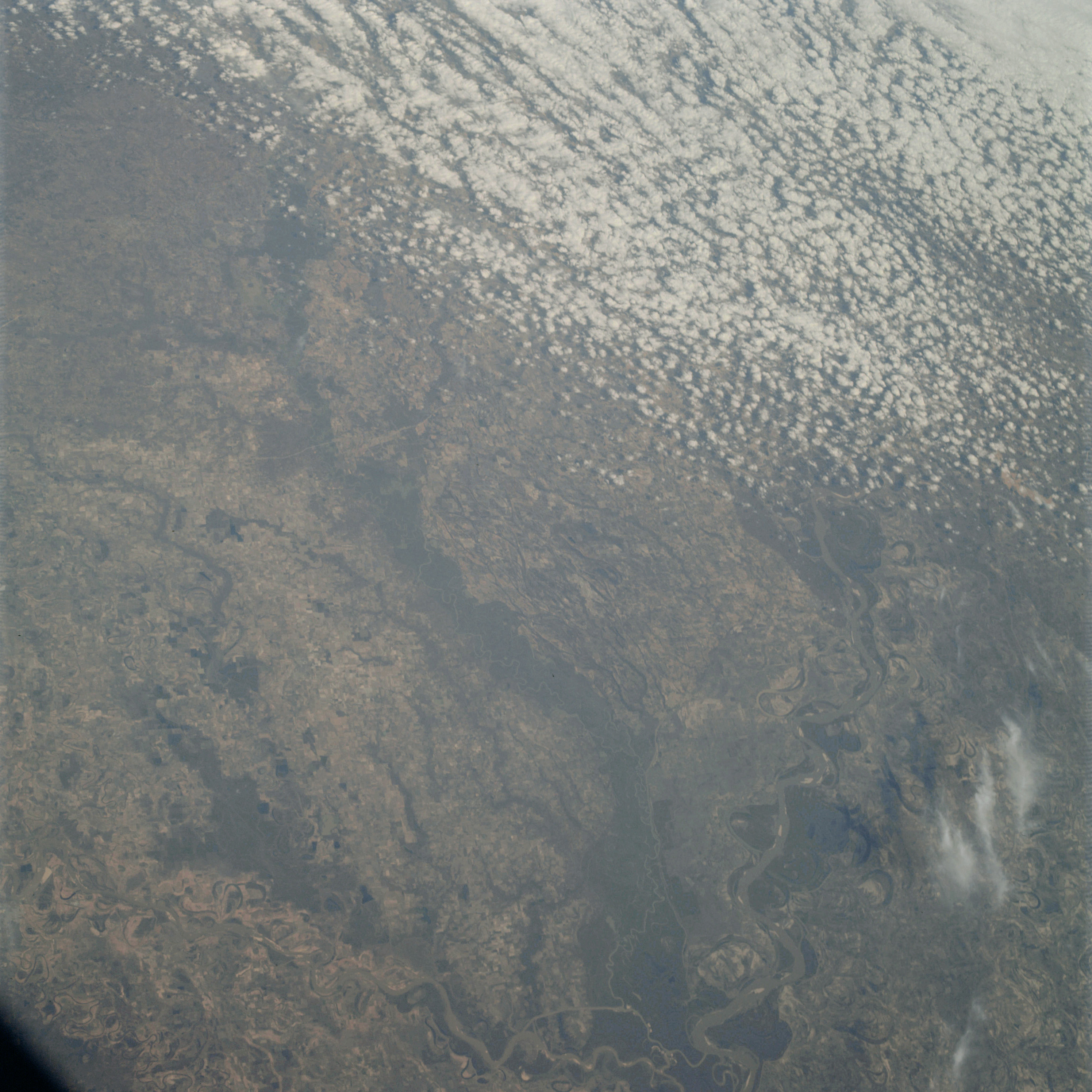 | AS09-23-3486 GEOGRAPHY/CARTOGRAPHY: Arkansas, Tennessee, Mississippi and Arkansas Rivers. GEOLOGY/HYDROLOGY. Coastal plain with extensive alluvial deposits. AGRICULTURE: Extensive cultivated areas. Field pattern discernible. FORESTRY: Mixed-forest stands. METEOROLOGY: Small cumulus, towering cumulus. Image credit: Image Science and Analysis Laboratory, NASA-Johnson Space Center. |
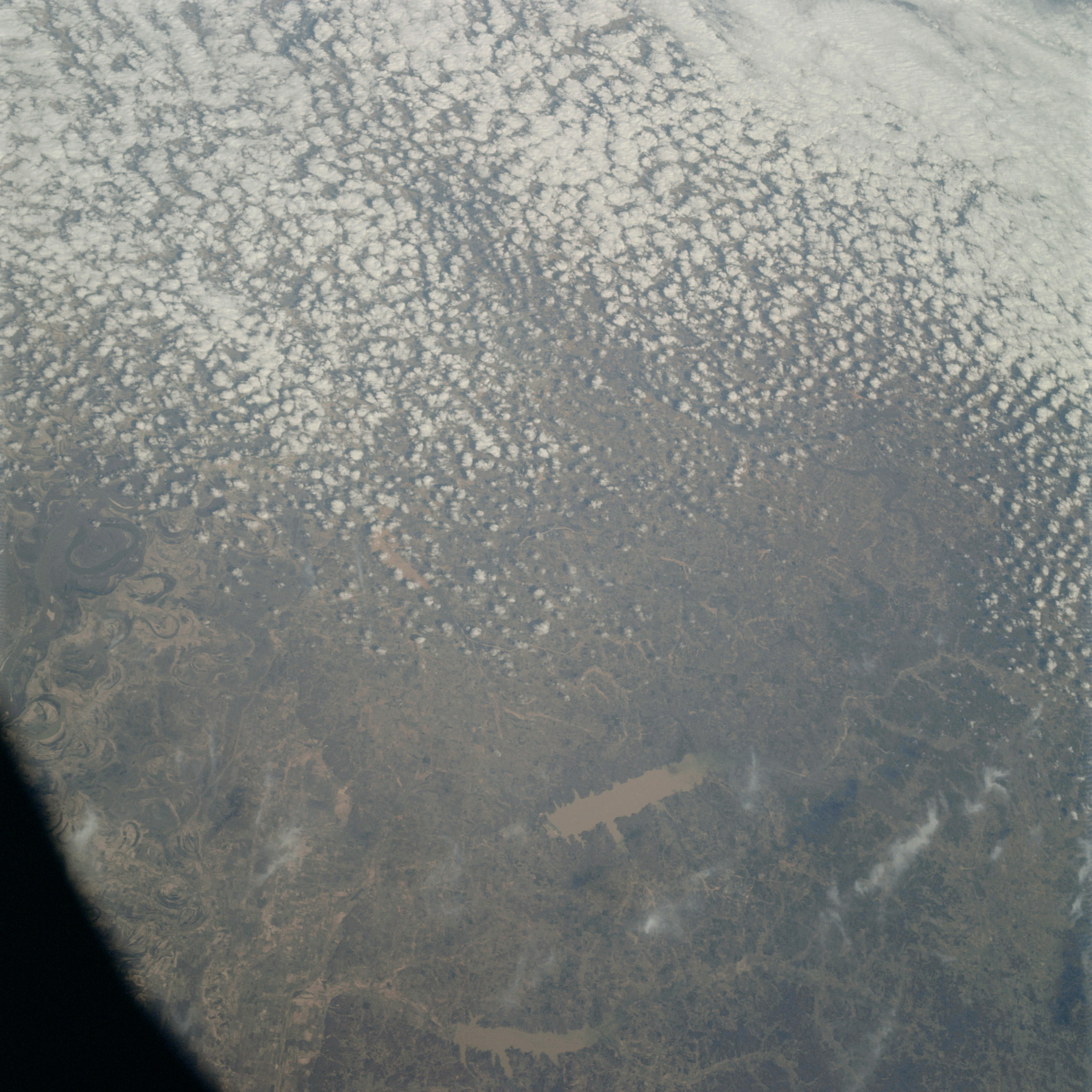 | AS09-23-3487 GEOGRAPHY/CARTOGRAPHY: Mississippi, Tennessee, Sardis and Enid Reservoirs, Mississippi River. GEOLOGY/HYDROLOGY. Coastal plain with extensive alluvial deposits. AGRICULTURE: Extensive cultivated areas. Field pattern discernible. FORESTRY: Mixed-forest stands. METEOROLOGY: Cumulus, strato-cumulus. Image credit: Image Science and Analysis Laboratory, NASA-Johnson Space Center. |
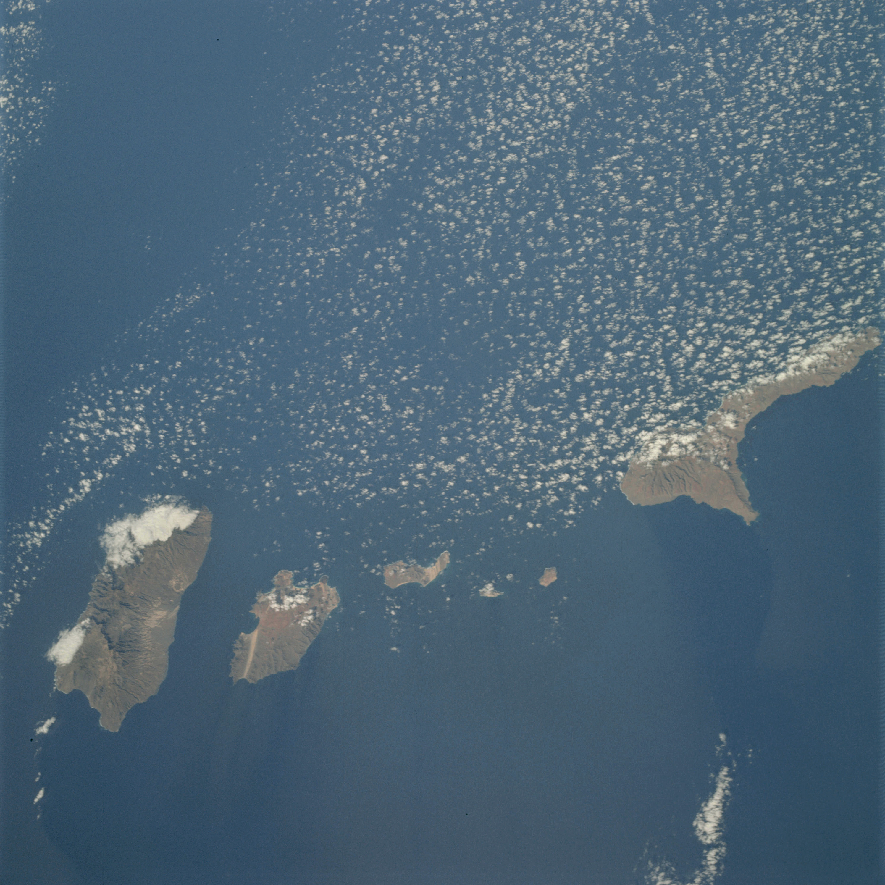 | AS09-23-3488 GEOGRAPHY/CARTOGRAPHY: Cape Verdes Islands, Sao Nicolau, Santo Antao, San Vicente, Santa Luzia, Ilheu Branco, Ilheu Raso. GEOLOGY/HYDROLOGY: Volcanic islands. AGRICULTURE: Cultivated areas along the coast. FORESTRY: Extensive broadleaf forest. METEOROLOGY: Small cumulus. Image credit: Image Science and Analysis Laboratory, NASA-Johnson Space Center. |
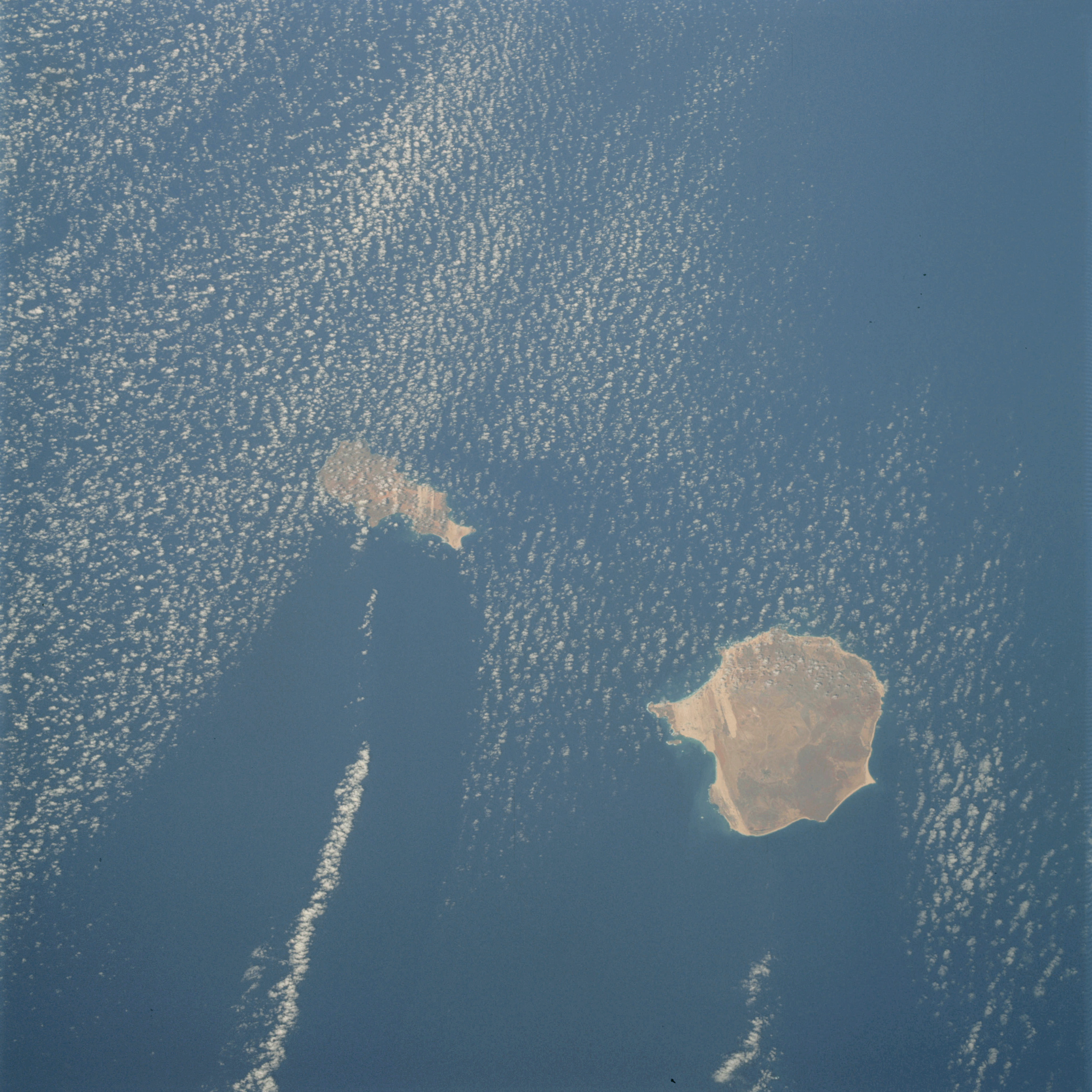 | AS09-23-3489 GEOGRAPHY/ CARTOGRAPHY: Cape Verde Islands, Boa Vista, Sal. GEOLOGY/HYDROLOGY: Volcanic islands. AGRICULTURE: Field pattern along coastal areas. FORESTRY: Broadleaf forest on higher elevations. METEOROLOGY: Small cumulus. OCEANOGRAPHY: Ocean depth variations. Image credit: Image Science and Analysis Laboratory, NASA-Johnson Space Center. |
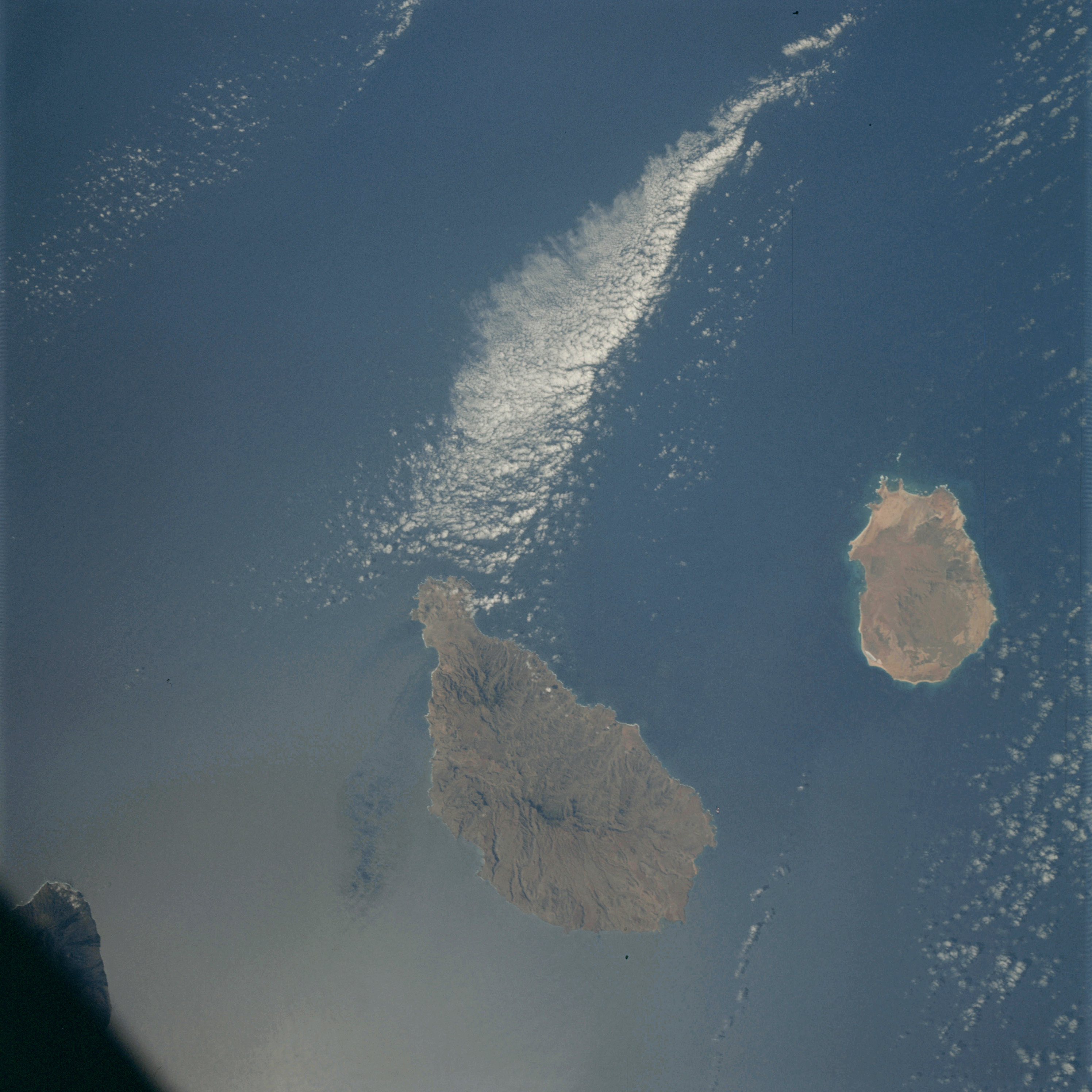 | AS09-23-3490 GEOGRAPHY/CARTOGRAPHY: Cape Verde Islands, Santiago, Maio GEOLOGY/HYDROLOGY: Volcanic islands, dendritic drainage. AGRICULTURE: Scattered cultivation along the coastal areas. FORESTRY: Broadleaf forest on higher elevations. METEOROLOGY: Cumulus, strato-cumulus. OCEANOGRAPHY: Ocean depth variations. Image credit: Image Science and Analysis Laboratory, NASA-Johnson Space Center. |
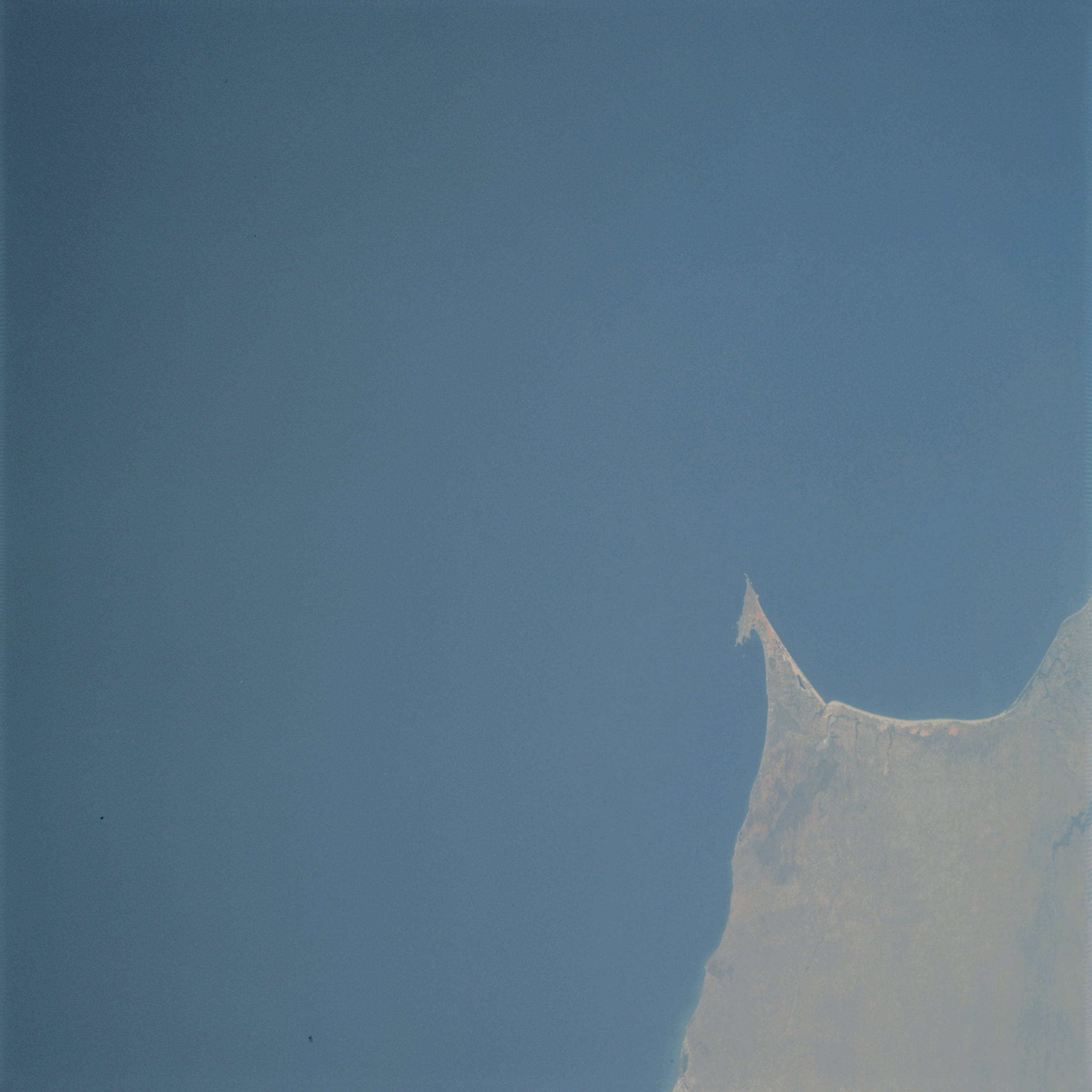 | AS09-23-3491 GEOGRAPHY/CARTOGRAPHY: Senegal, Dakar, North Atlantic Ocean. GEOLOGY/HYDROLOGY: Coastal plain. AGRICULTURE: Intensive cultivation along the coastal areas. FORESTRY: Savanna grassland. OCEANOGRAPHY: Ocean depth variations along parts of the coastline. Image credit: Image Science and Analysis Laboratory, NASA-Johnson Space Center. |
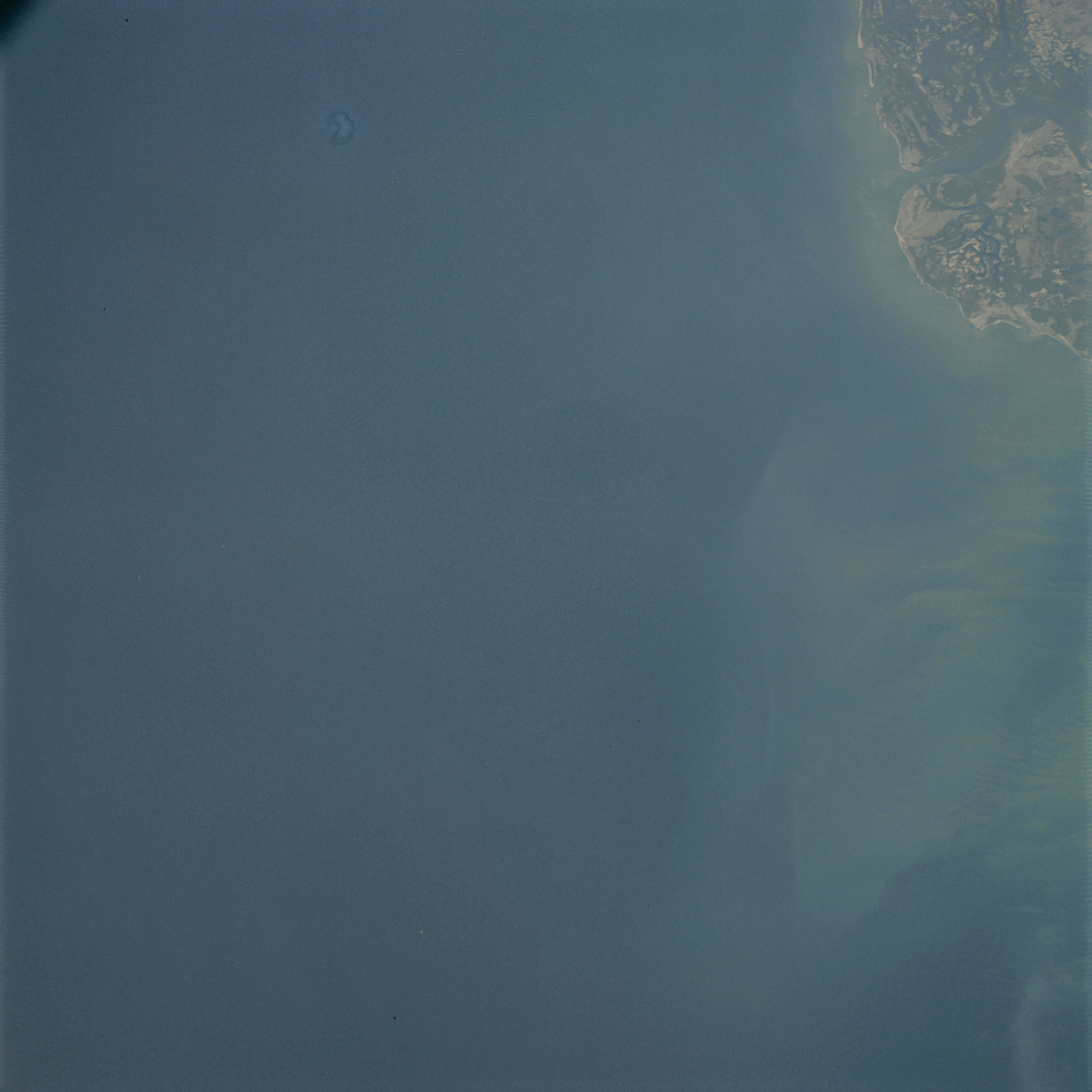 | AS09-23-3492 GEOGRAPHY/CARTOGRAPHY: Senegal, Dos Bijagos Archipelago, Casamance River. GEOLOGY/HYDROLOGY: Marshy coastal plain. FORESTRY: Marsh shrubform. OCEANOGRAPHY: Sediment deposits. Ocean depth variations. Image credit: Image Science and Analysis Laboratory, NASA-Johnson Space Center. |
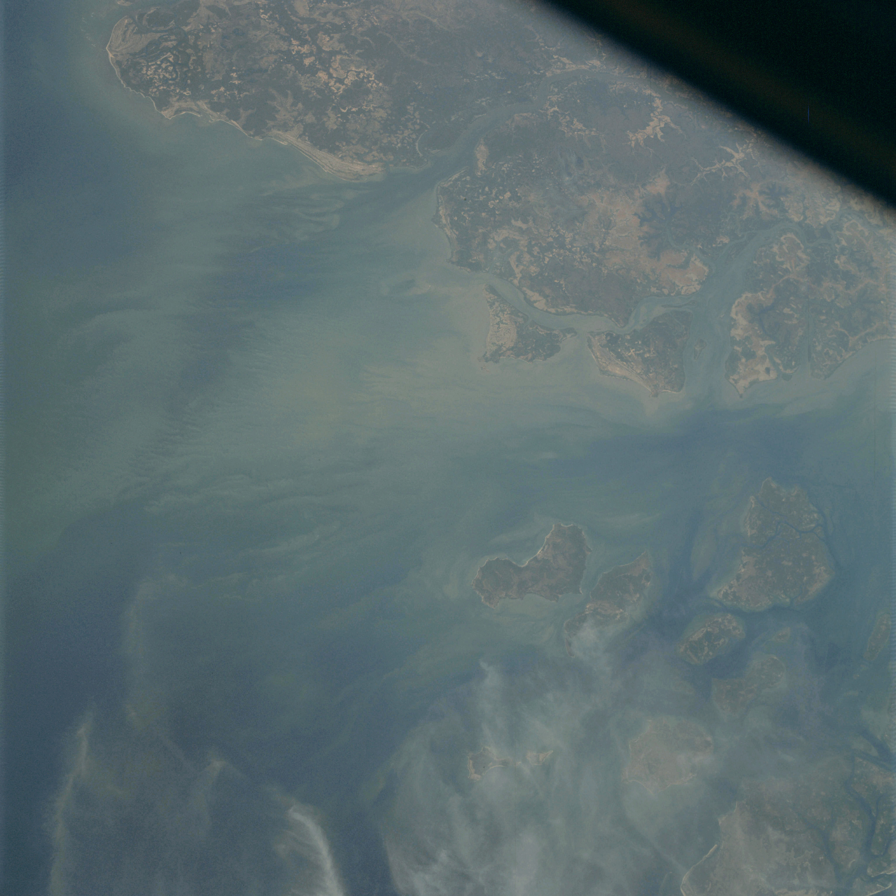 | AS09-23-3493 GEOGRAPHY/CARTOGRAPHY: Senegel, Das Bijagos, Archipelago, Rio Cacheau. GEOLOGY/HYDROLOGY: Marshy coastal plain. FORESTRY: Marsh shrubform. METEOROLOGY: Cirrus. OCEANOGRAPHY: Ocean depth variations, shallow off-shore area. Image credit: Image Science and Analysis Laboratory, NASA-Johnson Space Center. |
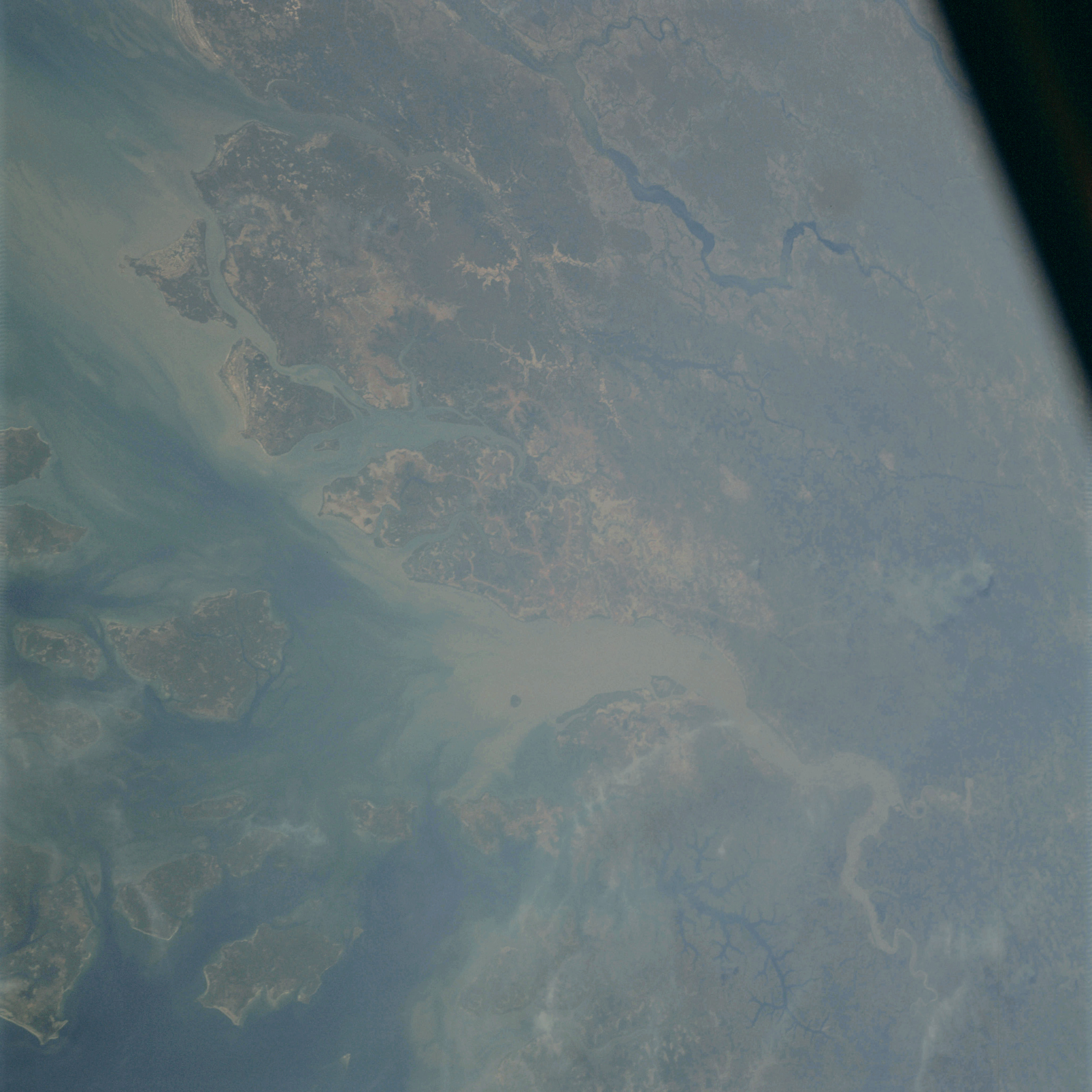 | AS09-23-3494 GEOGRAPHY/CARTOGRAPHY: Senegal, Dos Bijagos Archipelago, Rio Mansoa. GEOLOGY/HYDROLOGY: Coastal plain, dendritic drainage. FORESTRY: Marsh shrubform. OCEANOGRAPHY: Ocean depth variations. Image credit: Image Science and Analysis Laboratory, NASA-Johnson Space Center. |
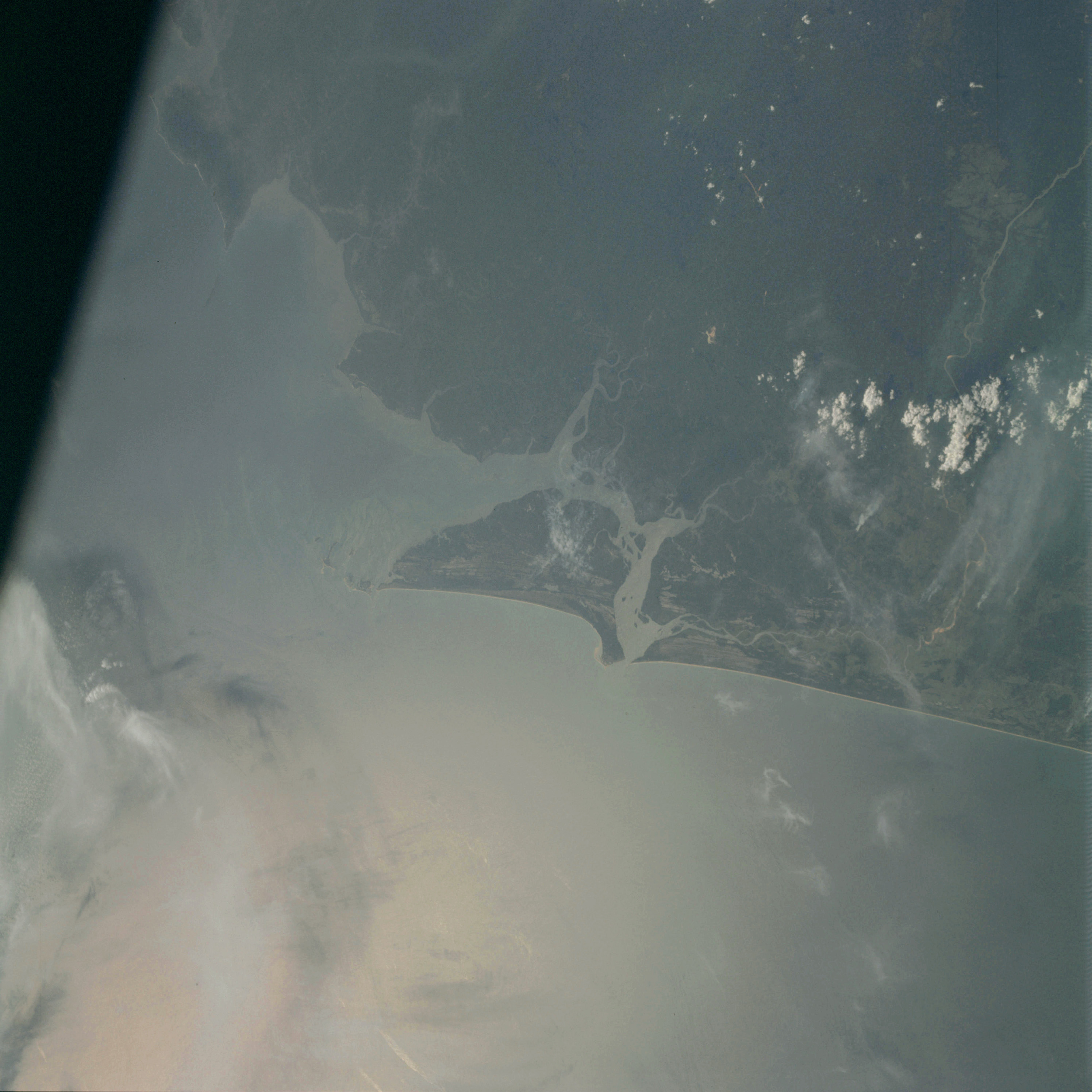 | AS09-23-3495 GEOGRAPHY/CARTOGRAPHY: Sierra Leons, Shebro Island. GEOLOGY/HYDROLOGY: Coastal plain. AGRICULTURE: Scattered cultivated areas. FORESTRY: Tropical broadleaved forest and tall savanna grassland. METEOROLOGY: cumulus, thick cirrus. OCEANOGRAPHY: Some wave-action. Image credit: Image Science and Analysis Laboratory, NASA-Johnson Space Center. |
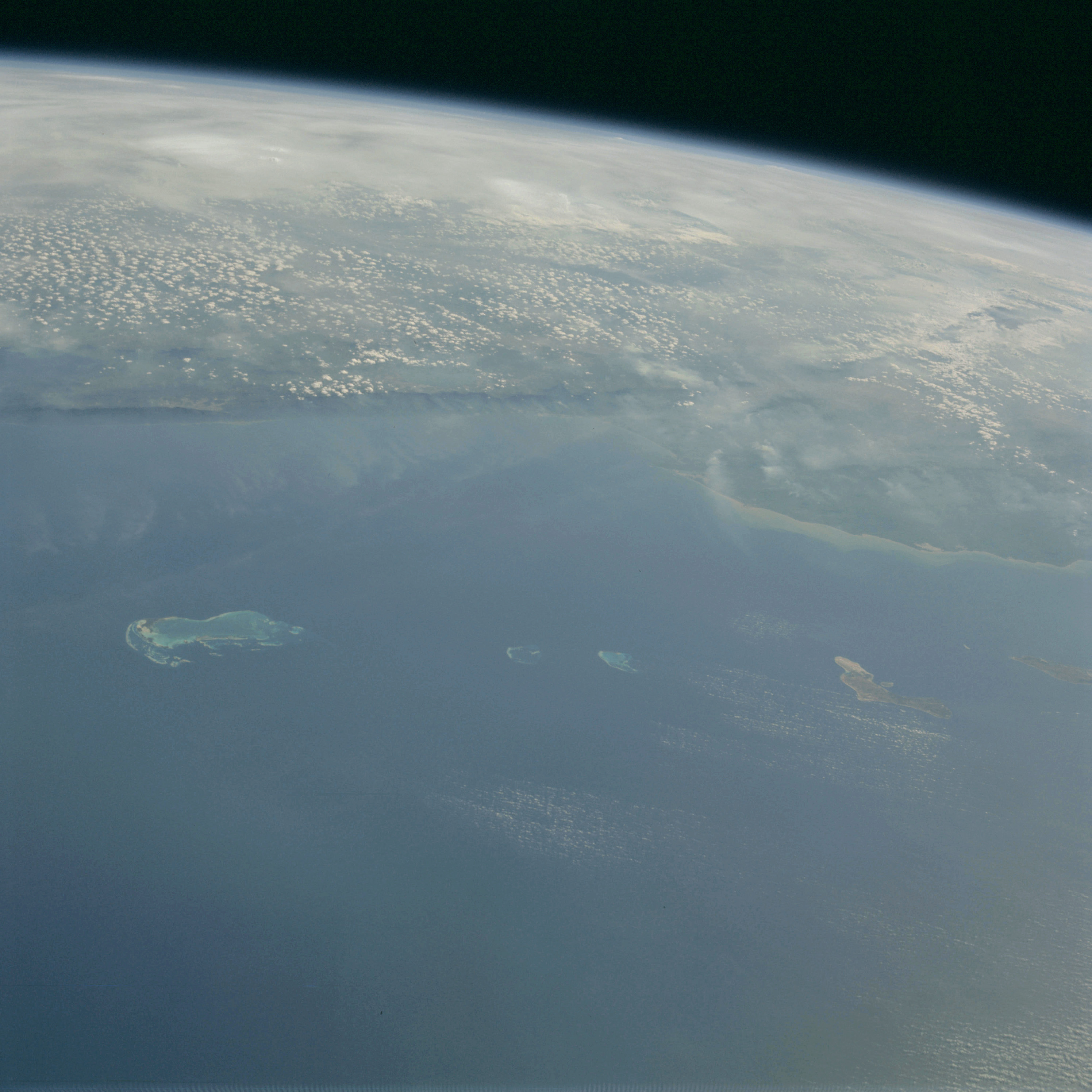 | AS09-23-3496 GEOGRAPHY/CARTOGRAPHY: Venezuela, Lago De Valencia, Islands of Curacao and Bonaire in the Caribbean Sea. GEOLOGY/HYDROLOGY: Coastal plain region. FORESTRY: Dense to semi-dense stands of hardwood broadleaf forest. METEOROLOGY: Cumulus, cirrus. OCEANOGRAPHY: Shallow water off the coastline indicating the extent of the continental shelf. Image credit: Image Science and Analysis Laboratory, NASA-Johnson Space Center. |
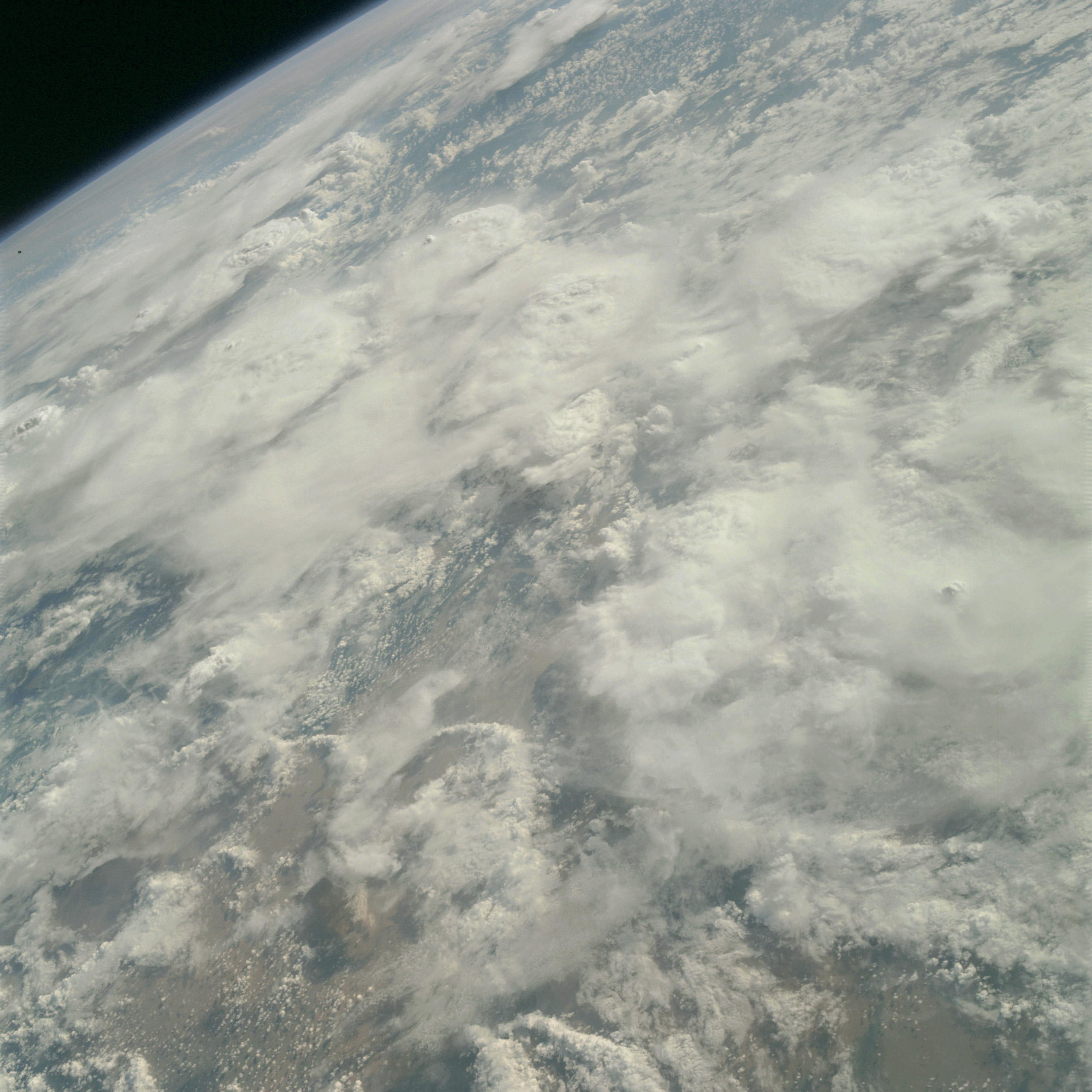 | AS09-23-3497 GEOGRAPHY/CARTOGRAPHY: Amazon Delta. (Orbit 109) GEOLOGY/HYDROLOGY: Alluvial deposits METEQROLOGY: Cumulus, alto-cumulus Image credit: Image Science and Analysis Laboratory, NASA-Johnson Space Center. |
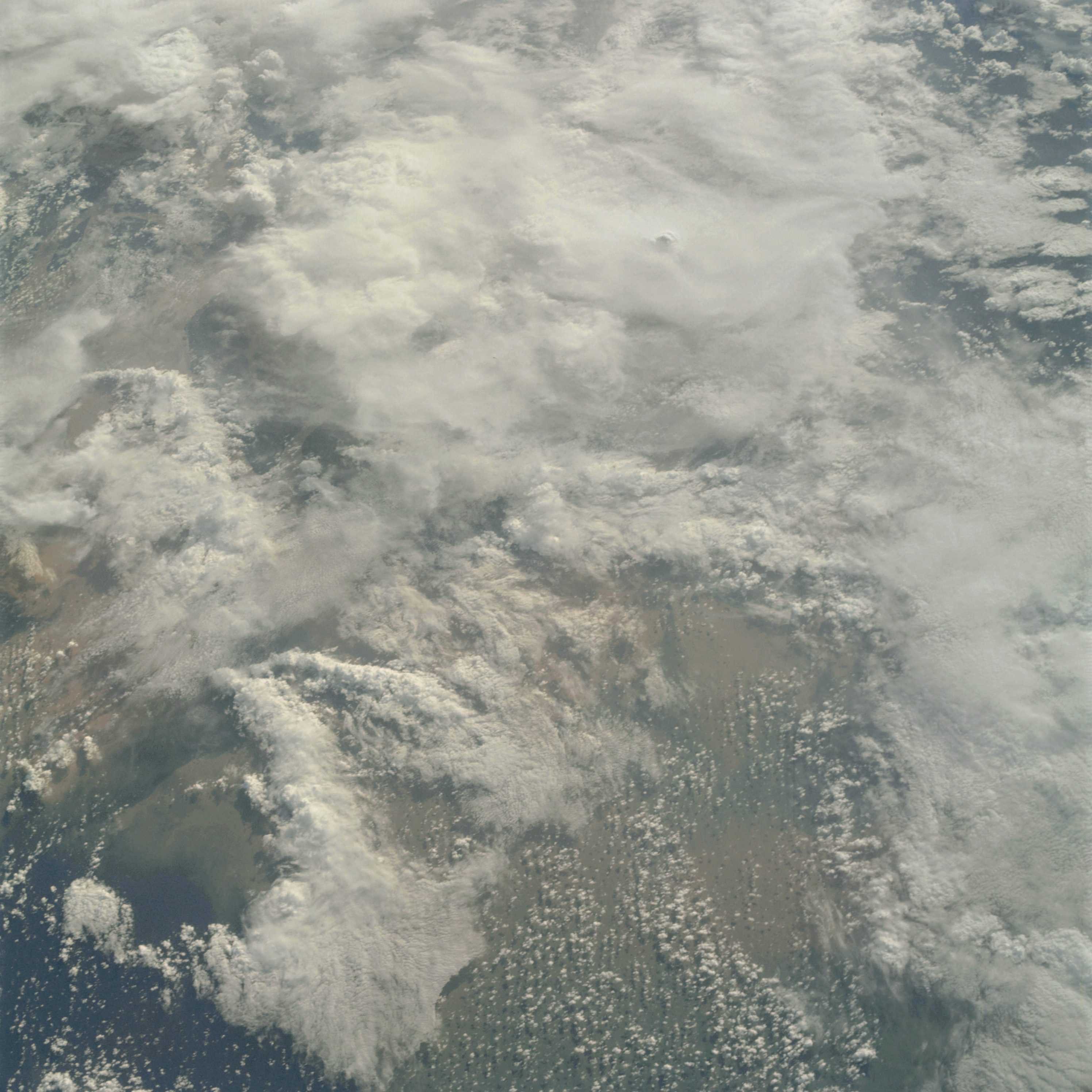 | AS09-23-3498 GEOGRAPHY/CARTOGRAPHY: Amazon Delta. (Orbit 109) GEOLOGY/HYDROLOGY: Alluvial deposits METEQROLOGY: Cumulus, alto-cumulus Image credit: Image Science and Analysis Laboratory, NASA-Johnson Space Center. |
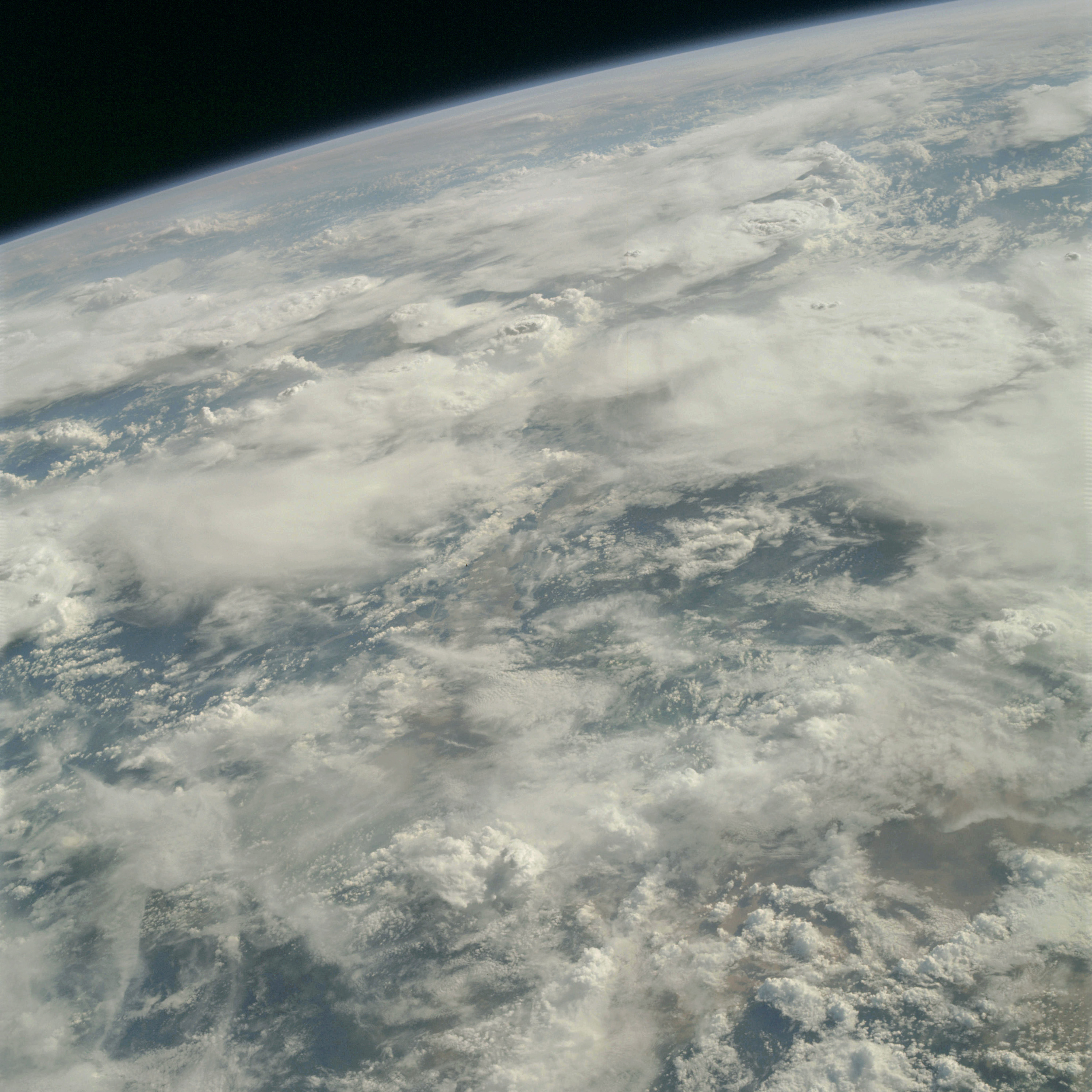 | AS09-23-3499 GEOGRAPHY/CARTOGRAPHY: Amazon Delta. (Orbit 109) GEOLOGY/HYDROLOGY: Alluvial deposits METEQROLOGY: Cumulus, alto-cumulus Image credit: Image Science and Analysis Laboratory, NASA-Johnson Space Center. |
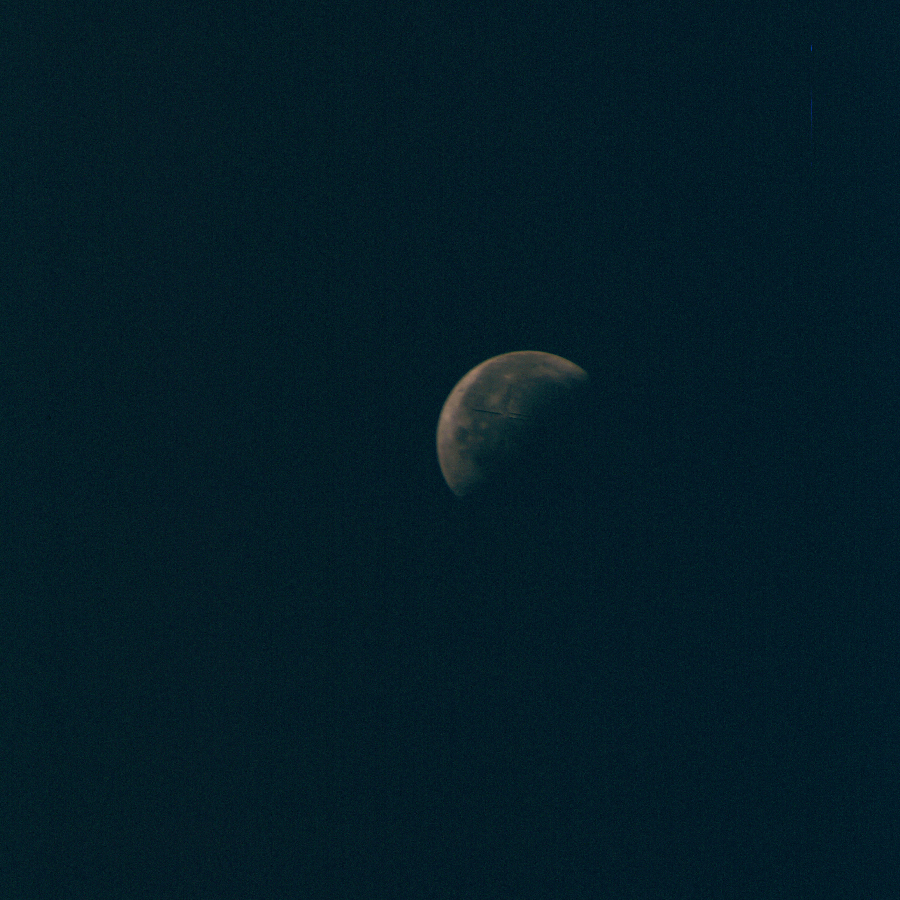 | AS09-23-3500 Lunar view. Image credit: Image Science and Analysis Laboratory, NASA-Johnson Space Center. |
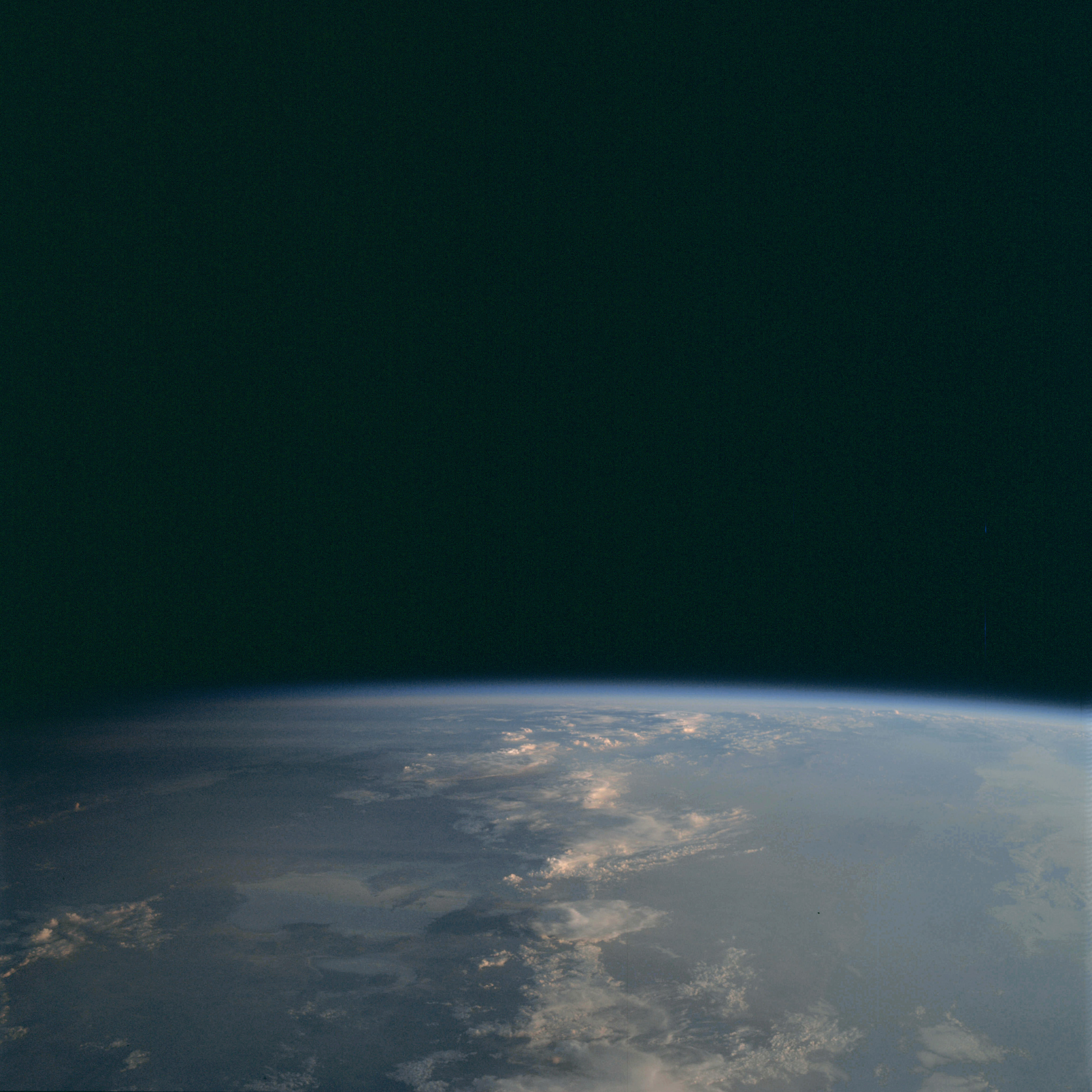 | AS09-23-3501 View to horizon. Image credit: Image Science and Analysis Laboratory, NASA-Johnson Space Center. |
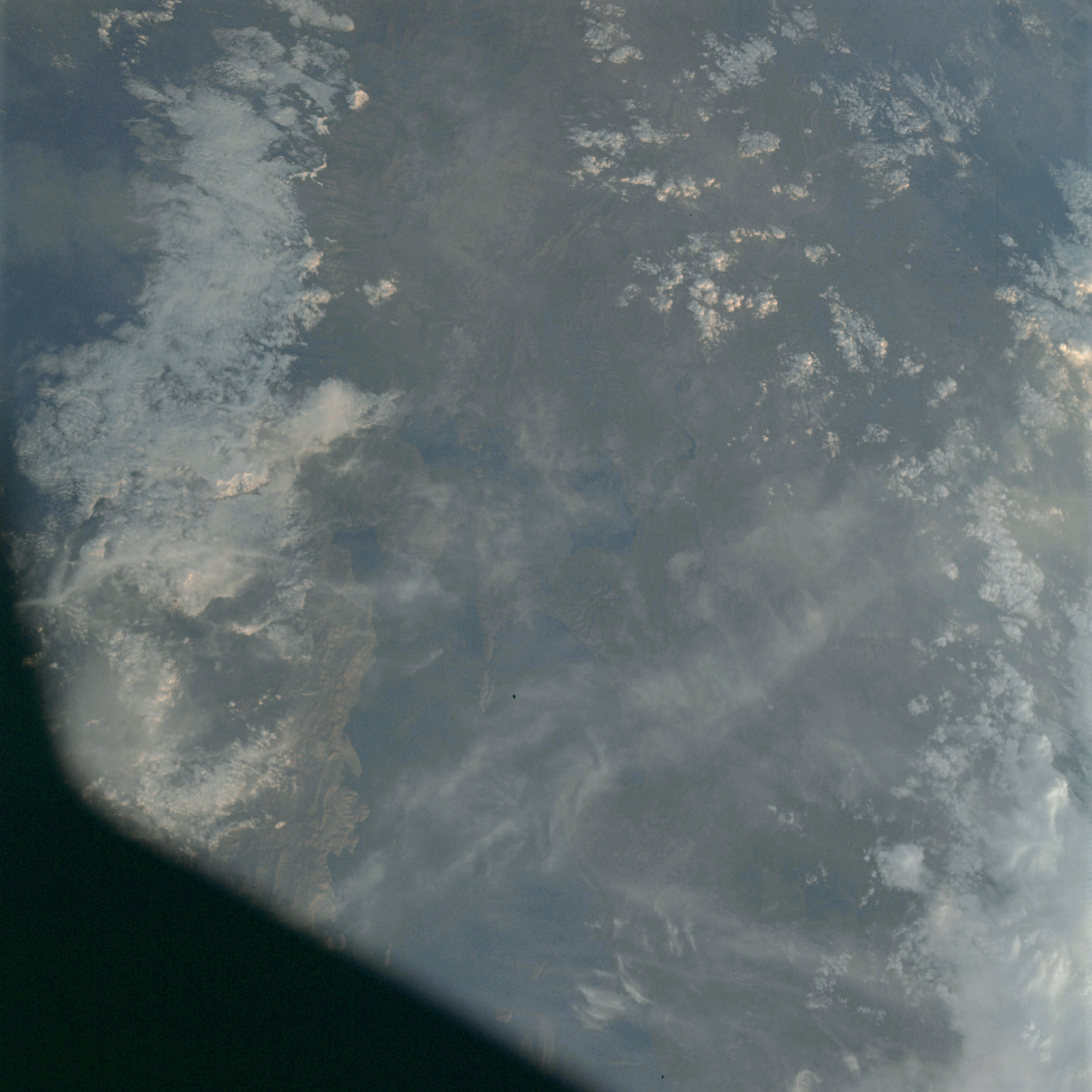 | AS09-23-3502 GEOGRAPHY/CARTOGRAPHY: Bolivia and Peru, Lake Titicaca, Border. GEOLOGY/HYDROLOGY: Complex mountains and some alluvial deposits. AGRICULTURE: Scattered cultivated areas. FORESTRY: Broadleaf, hardwood forest stands. METEOROLOGY: Cumulus, strato-cumulus. Image credit: Image Science and Analysis Laboratory, NASA-Johnson Space Center. |
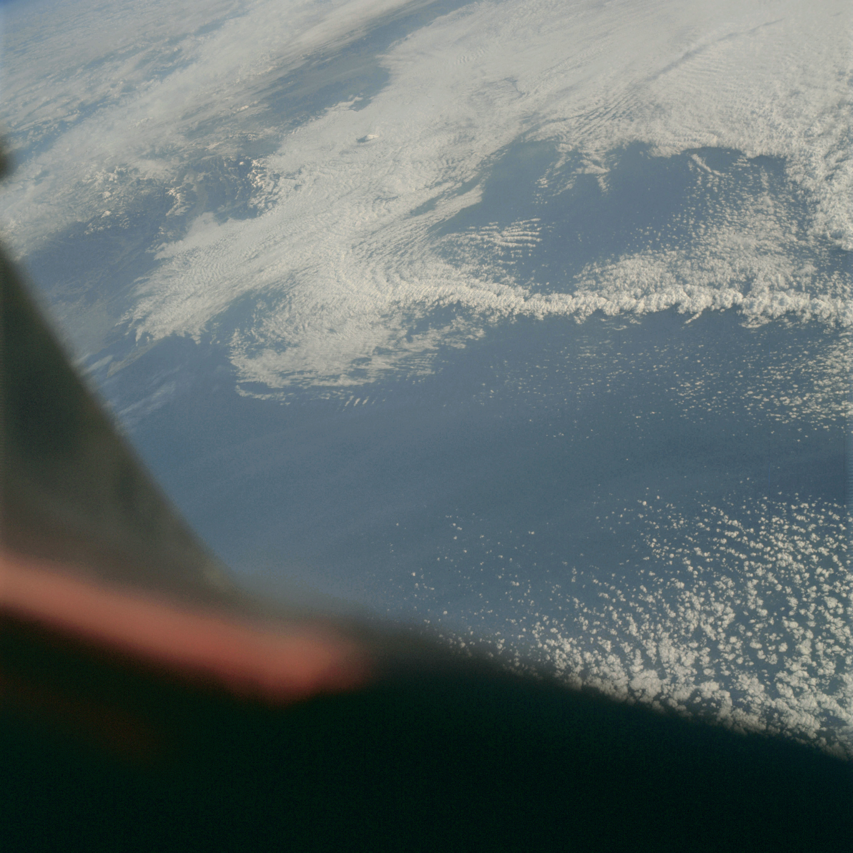 | AS09-23-3503 GEOGRAPHY/CARTOGRAPHY: Japan, Nagoya, Mt. Fujiyama on the Island of Honshu. GEOLOGY/HYDROLOGY: Volcanic islands. METEOROLOGY: cumulus, alto-cumulus. Image credit: Image Science and Analysis Laboratory, NASA-Johnson Space Center. |
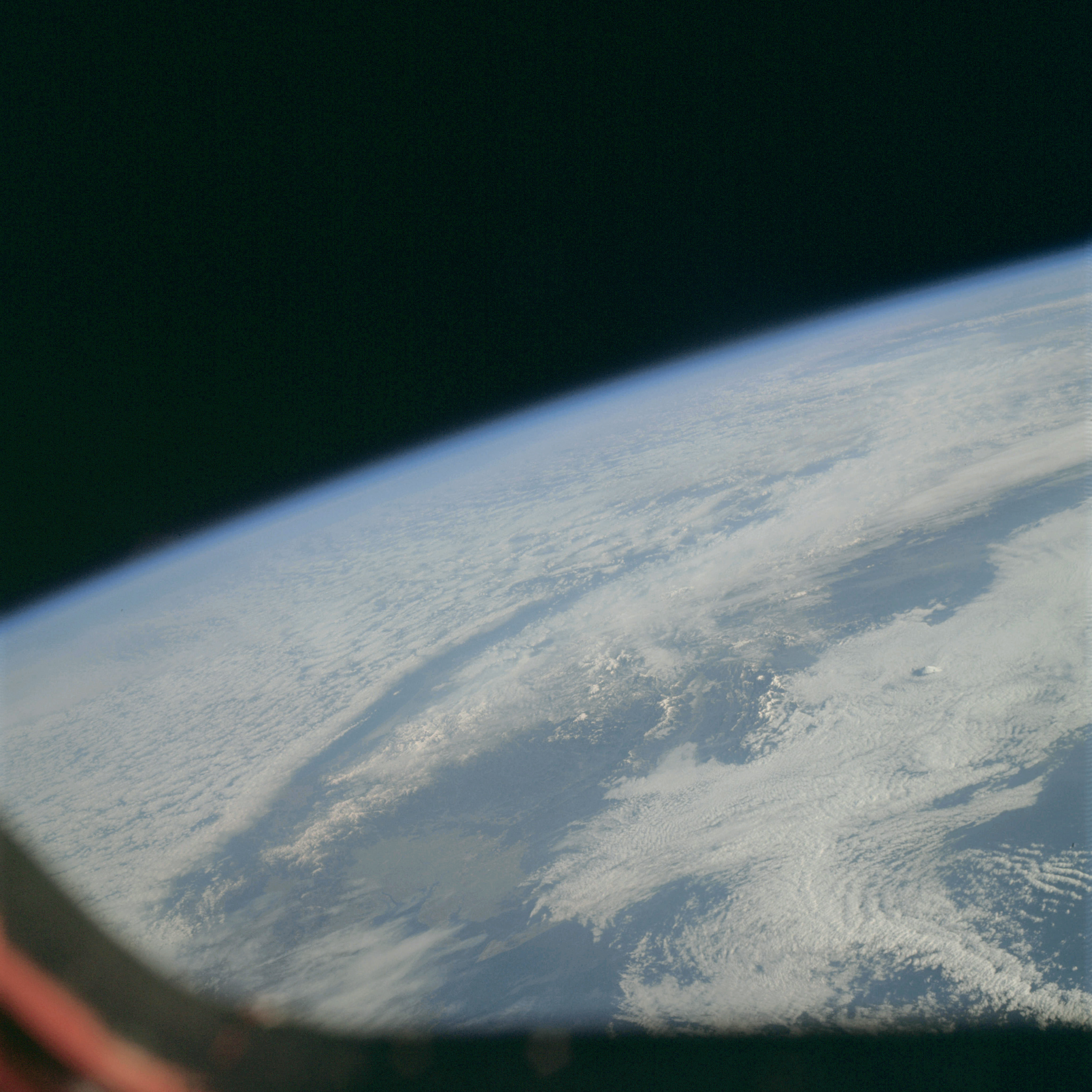 | AS09-23-3504 GEOGRAPHY/CARTOGRAPHY: Japan, Nagoya, Mt. Fujiyama on the Island of Honshu. GEOLOGY/HYDROLOGY: Volcanic islands. METEOROLOGY: Alto-cumulus, strato-cumulus, cirrus. Image credit: Image Science and Analysis Laboratory, NASA-Johnson Space Center. |
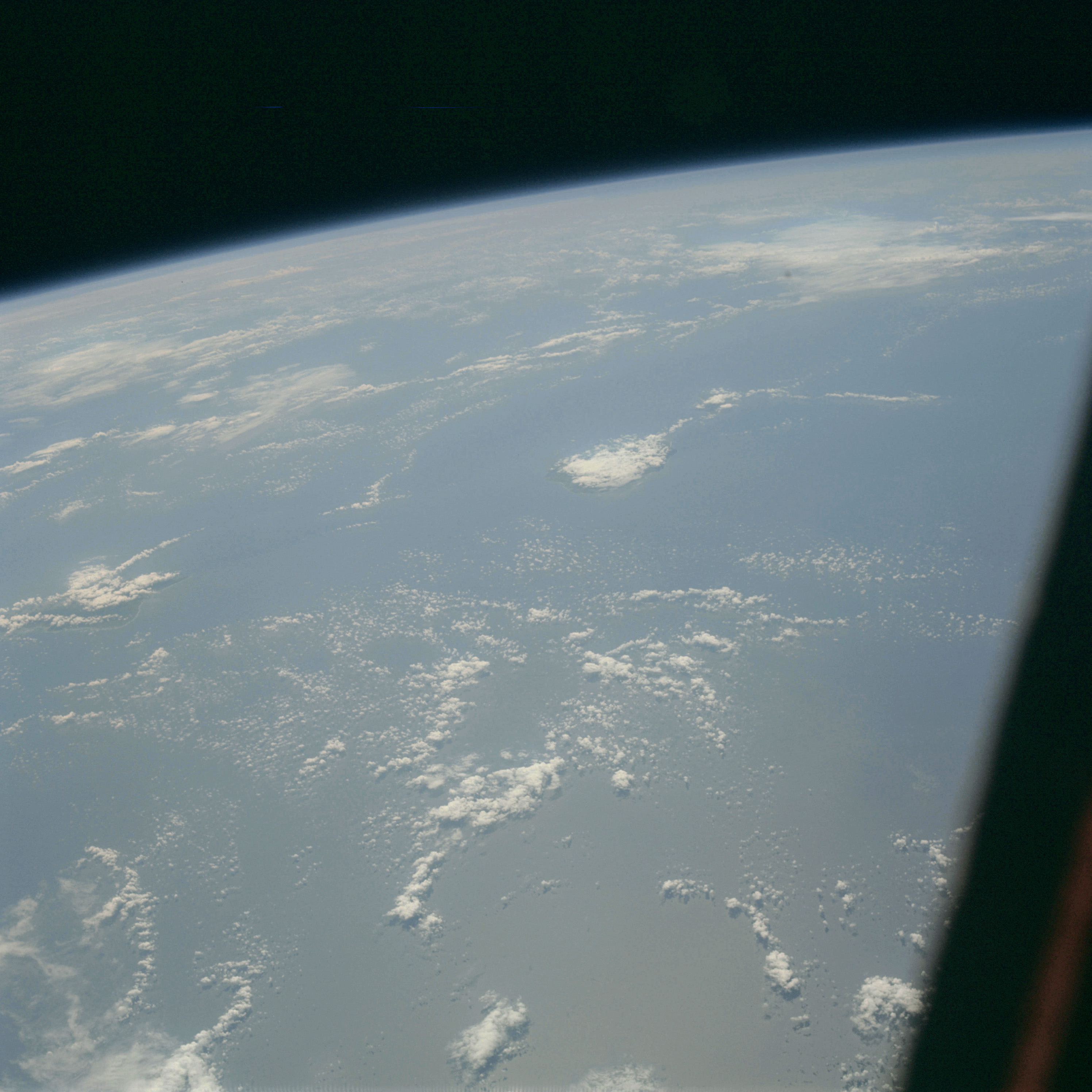 | AS09-23-3505 GEOGRAPHY/CARTOGRAPHY: Hawaiian Islands, Oahu, Kauai, Niihau. GEOLOGY/HYDROLOGY: Volcanic mountains. METEOROLOGY: Cumulus. Image credit: Image Science and Analysis Laboratory, NASA-Johnson Space Center. |
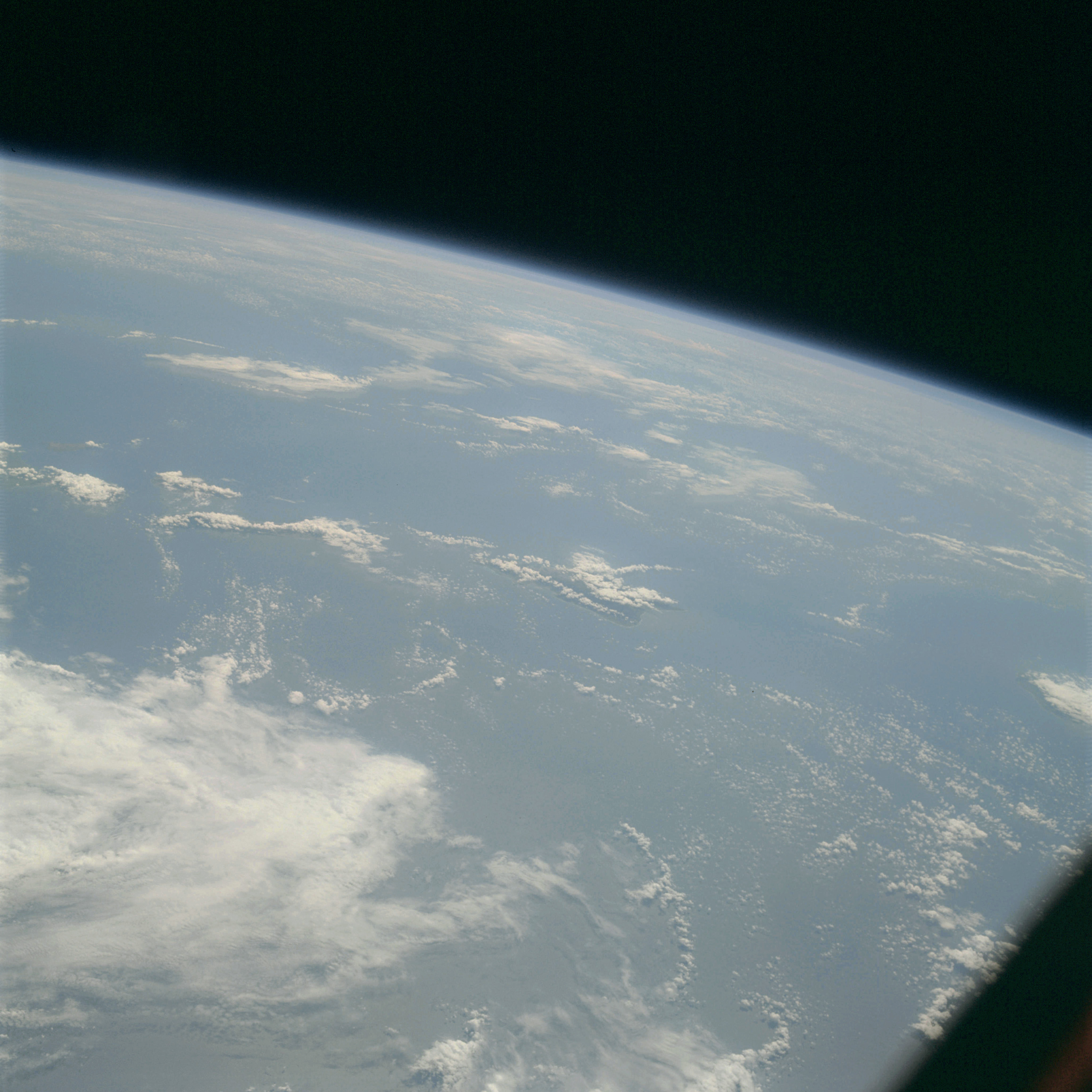 | AS09-23-3506 GEOGRAPHY/CARTOGRAPHY: Hawaiian Islands, Naui, Lanai, Molokai, Oahu. GEOLOGY/HYDROLOGY: Volcanic mountains. METEOROLOGY; Cumulus, strato-cumulus. Image credit: Image Science and Analysis Laboratory, NASA-Johnson Space Center. |
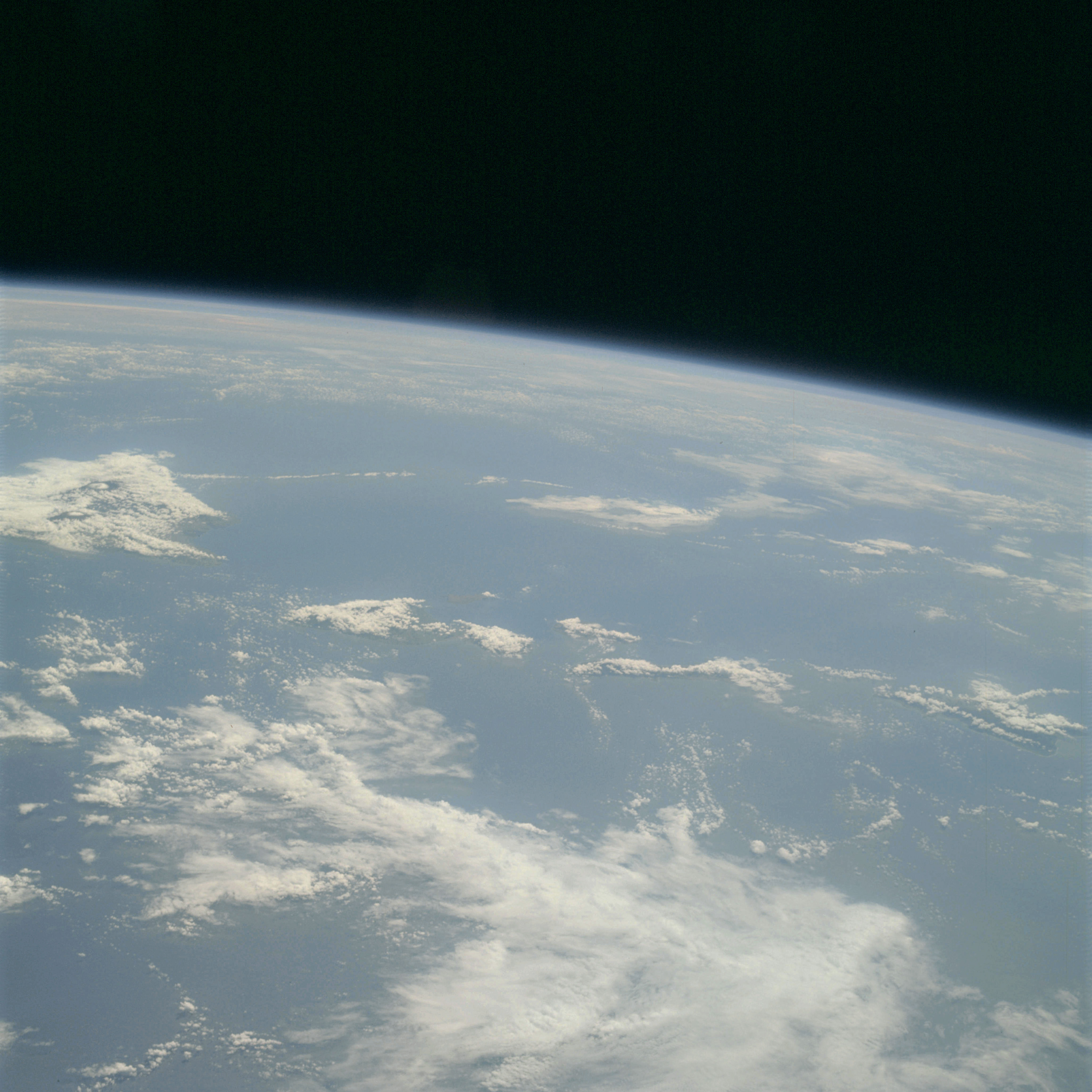 | AS09-23-3507 GEOGRAPHY/CARTOGRAPHY: Hawaiian Islands, Hawaii, Maui, Molokai, Oahu, Lanai, Kahoo Lawe. GEOLOGY/HYDROLOGY: Volcanic mountains. METEOROLOGY: Cumulus, strato-cumulus. Image credit: Image Science and Analysis Laboratory, NASA-Johnson Space Center. |
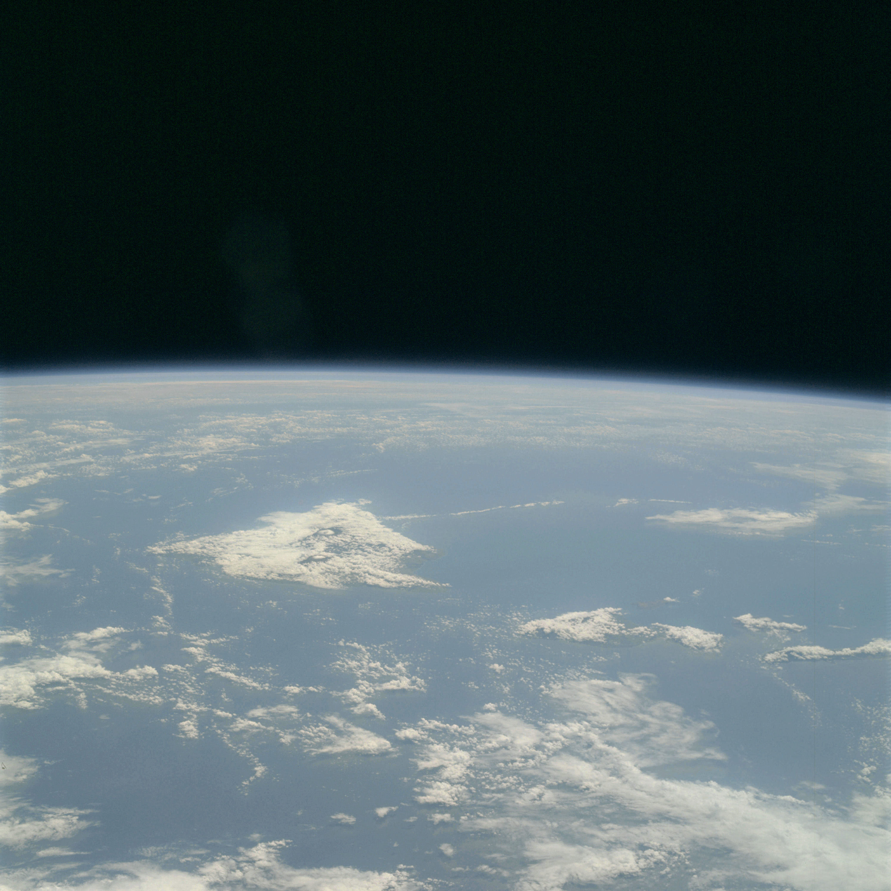 | AS09-23-3508 GEOGRAPHY/CARTOGRAPHY: Hawaiian Islands, Hawaii, Maui, Molokai, Kahoo Lawe, Lanai, Oahu. GEOLOGY/HYDROLOGY: Volcanic mountains. METEOROLOGY: Cumulus, strato-cumulus. OCEANOGRAPHY: Ocean depth variations. Image credit: Image Science and Analysis Laboratory, NASA-Johnson Space Center. |
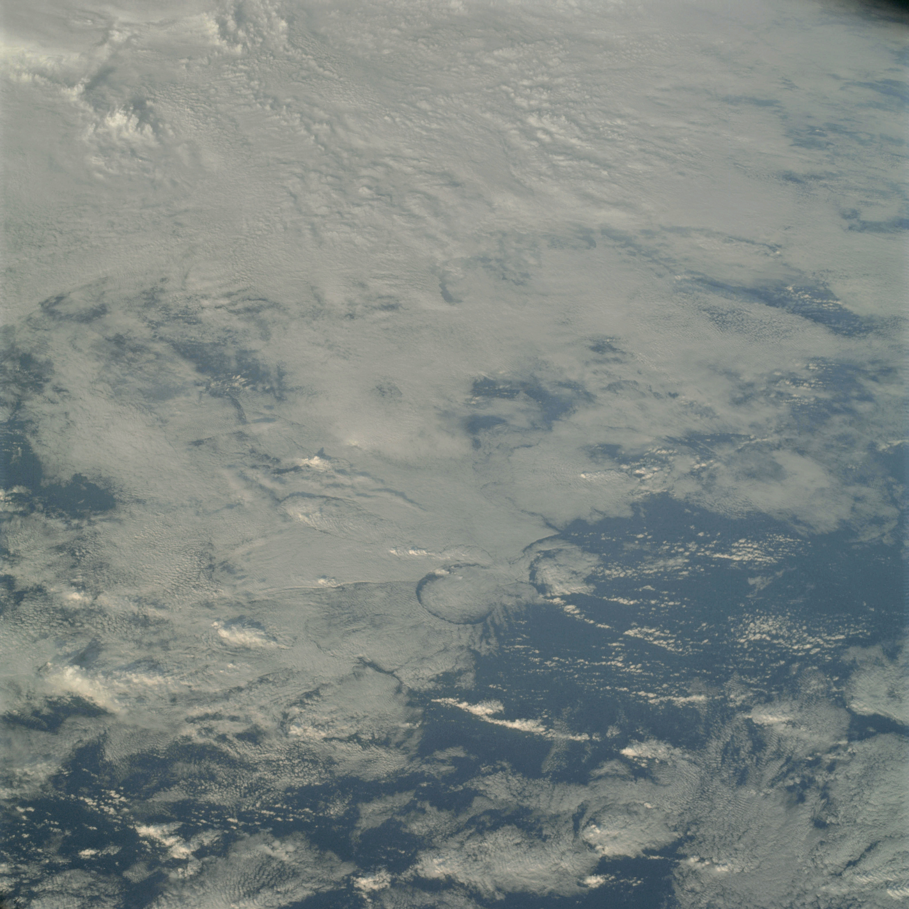 | AS09-23-3509 METEOROLOGY: Towering cumulus, alto-cumulus. Image credit: Image Science and Analysis Laboratory, NASA-Johnson Space Center. |
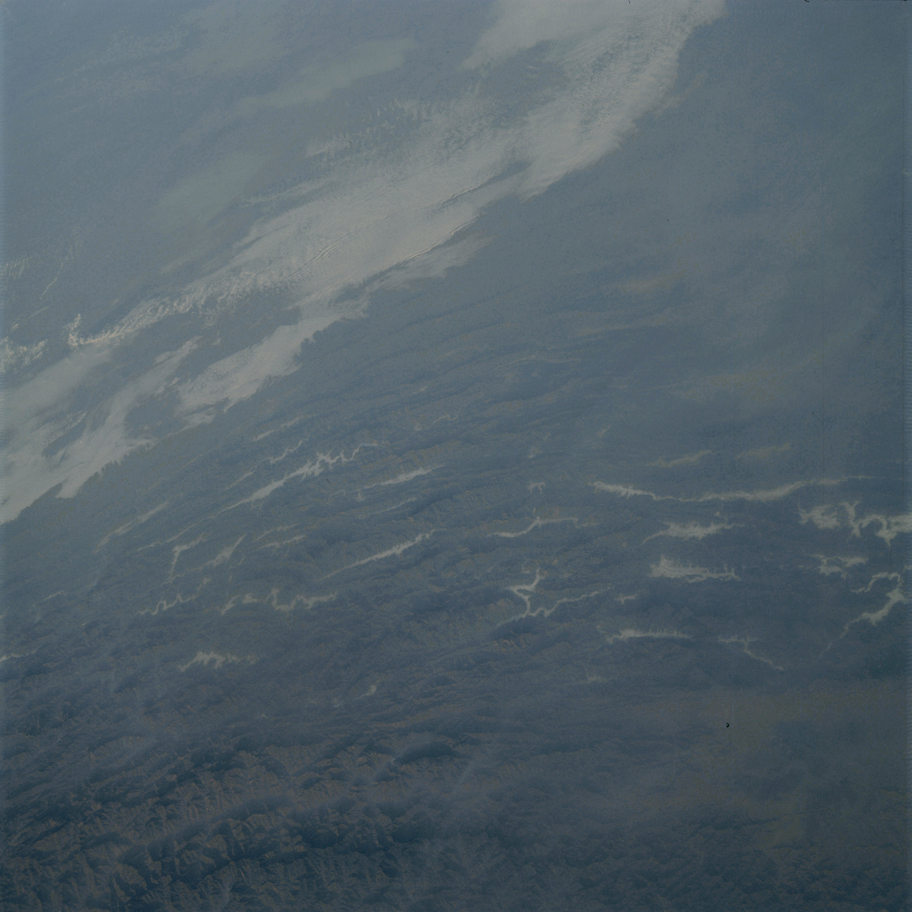 | AS09-23-3510 GEOGRAPHY/CARTOGRAPHY: China, Nomeha Berwa. GEOLOGY/HYDROLOGY: Complex fold mountains. FORESTRY: Extensive forest stands. METEOROLOGY: Alto-cumulus. Image credit: Image Science and Analysis Laboratory, NASA-Johnson Space Center. |
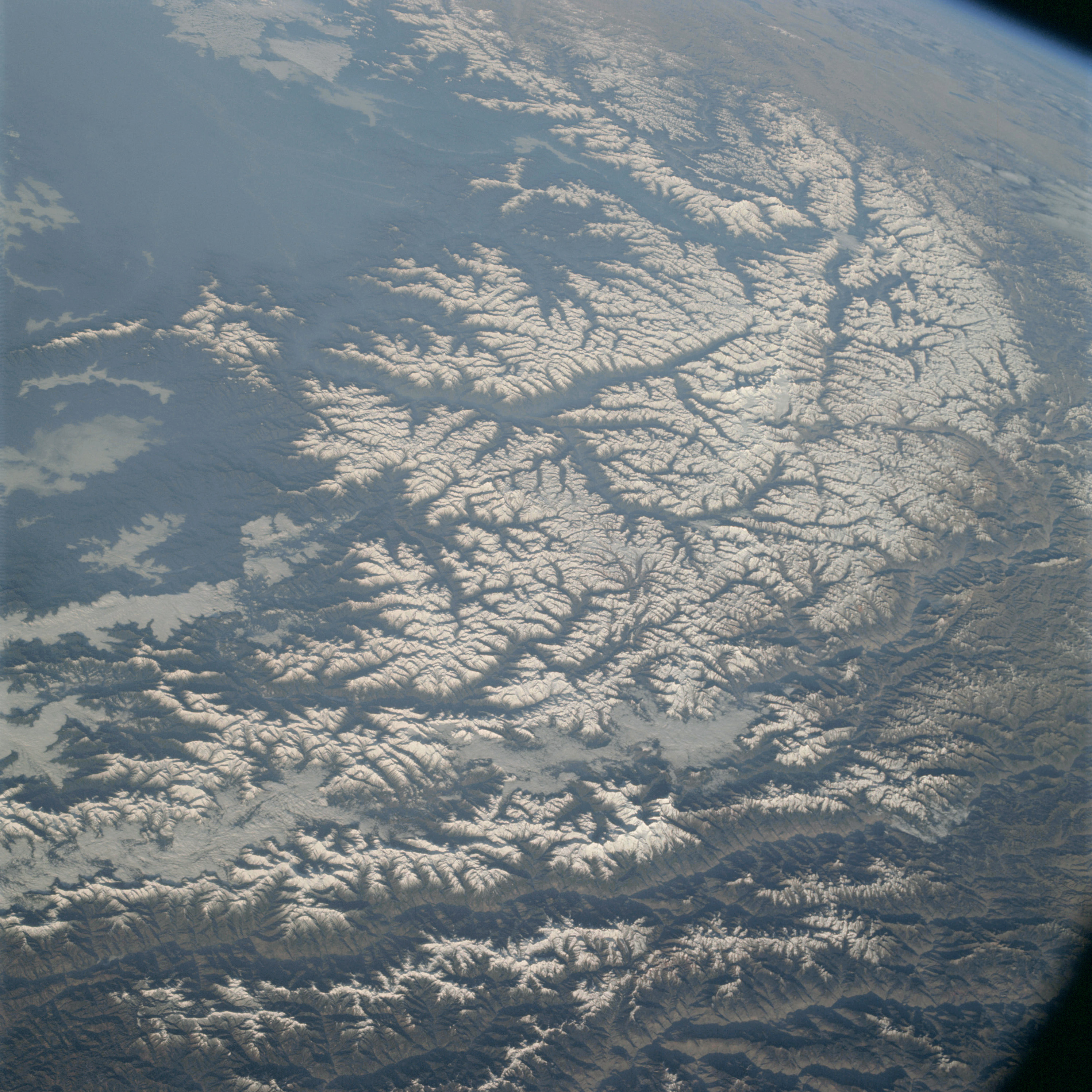 | AS09-23-3511 GEOGRAPHY/CARTOGRAPHY: China, Himalayas looking North. GEOLOGY/HYDROLOGY: Complex fold mountains FORESTRY: Coniferous forest stands on lower slopes. Image credit: Image Science and Analysis Laboratory, NASA-Johnson Space Center. |
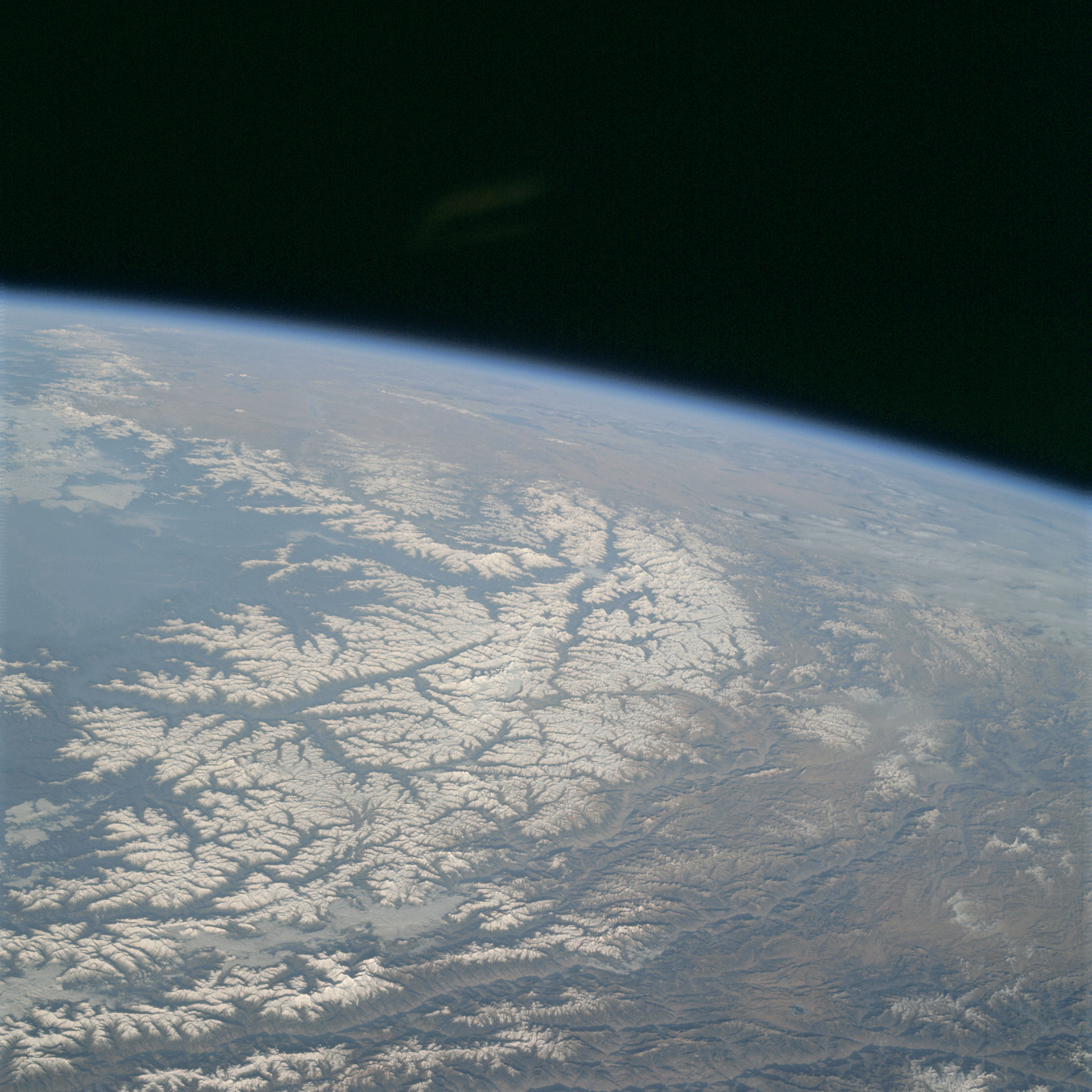 | AS09-23-3512 GEOGRAPHY/CARTOGRAPHY: China, Himalayas looking North. GEOLOGY/HYDROLOGY: Complex fold mountains FORESTRY: Coniferous forest stands on lower slopes. Image credit: Image Science and Analysis Laboratory, NASA-Johnson Space Center. |
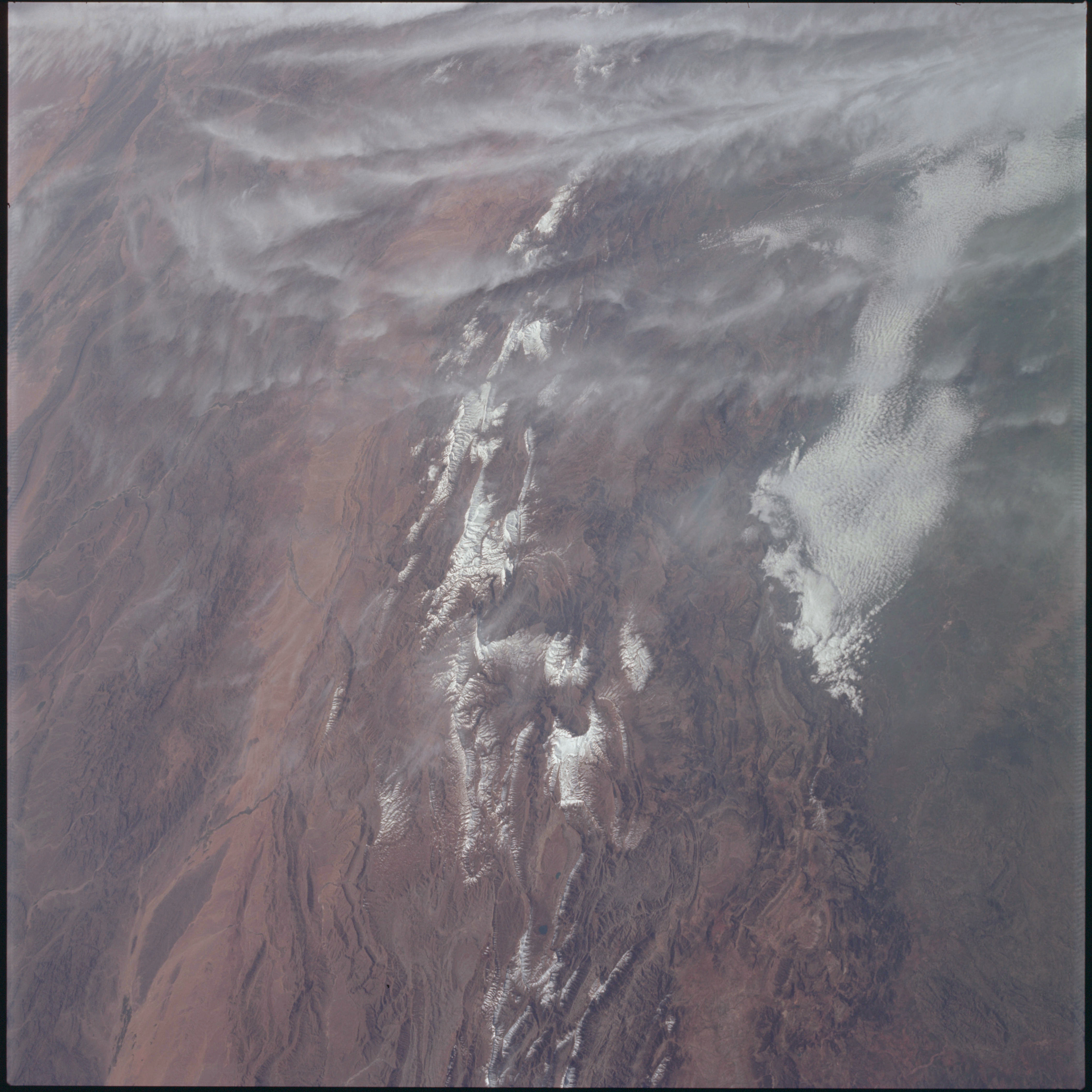 | AS09-23-3513 GEOGRAPHY/CARTOGRAPHY: China, Chang Chinang River. GEOLOGY/HYDROLOGY: Complex fold mountains. AGRICULTURE: Intensive cultivation along Chang Chinang River. FORESTRY: Mixed-forest stands. METEOROLOGY: Alto-cumulus, cirrus. Image credit: Image Science and Analysis Laboratory, NASA-Johnson Space Center. |
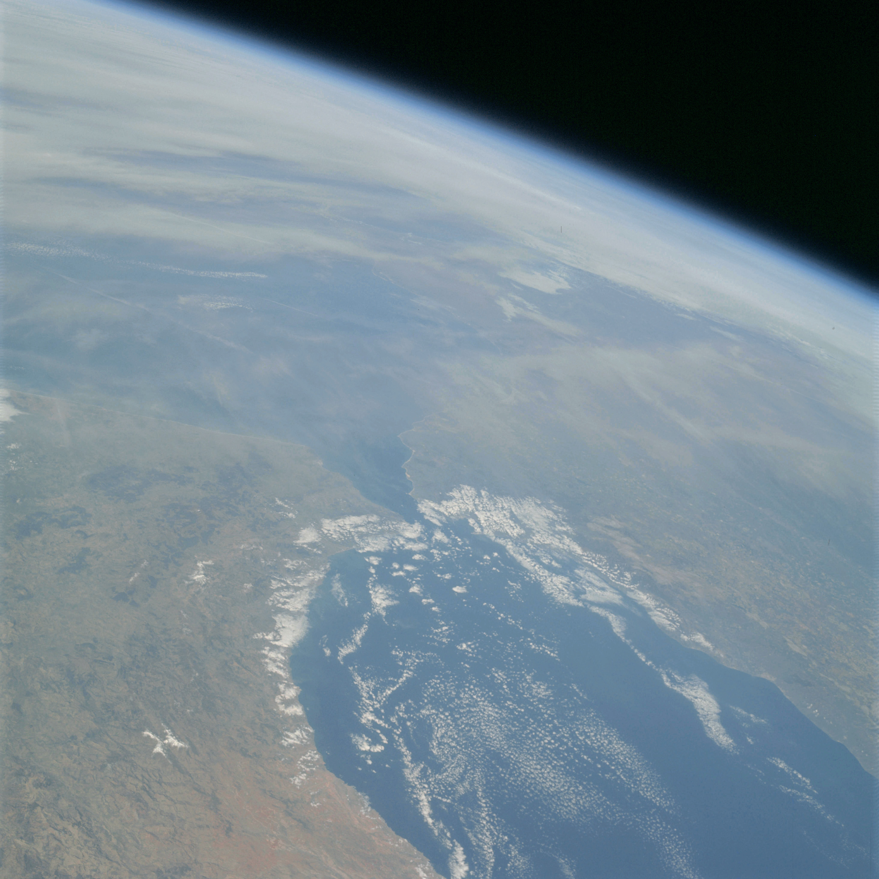 | AS09-23-3514 GEOGRAPHY/CARTOGRAPHY: Straits of Gibraltar, Morocco, Spain. GEOLOGY/HYDROLOGY: Complex fold mountains and plateaus. AGRICULTURE: Very sparse and scattered cultivation along coastal areas. FORESTRY: Scattered shrubform. METEOROLOGY: Cumulus, cirrus. OCEANOGRAPHY: Some wave action along the coastline. Image credit: Image Science and Analysis Laboratory, NASA-Johnson Space Center. |
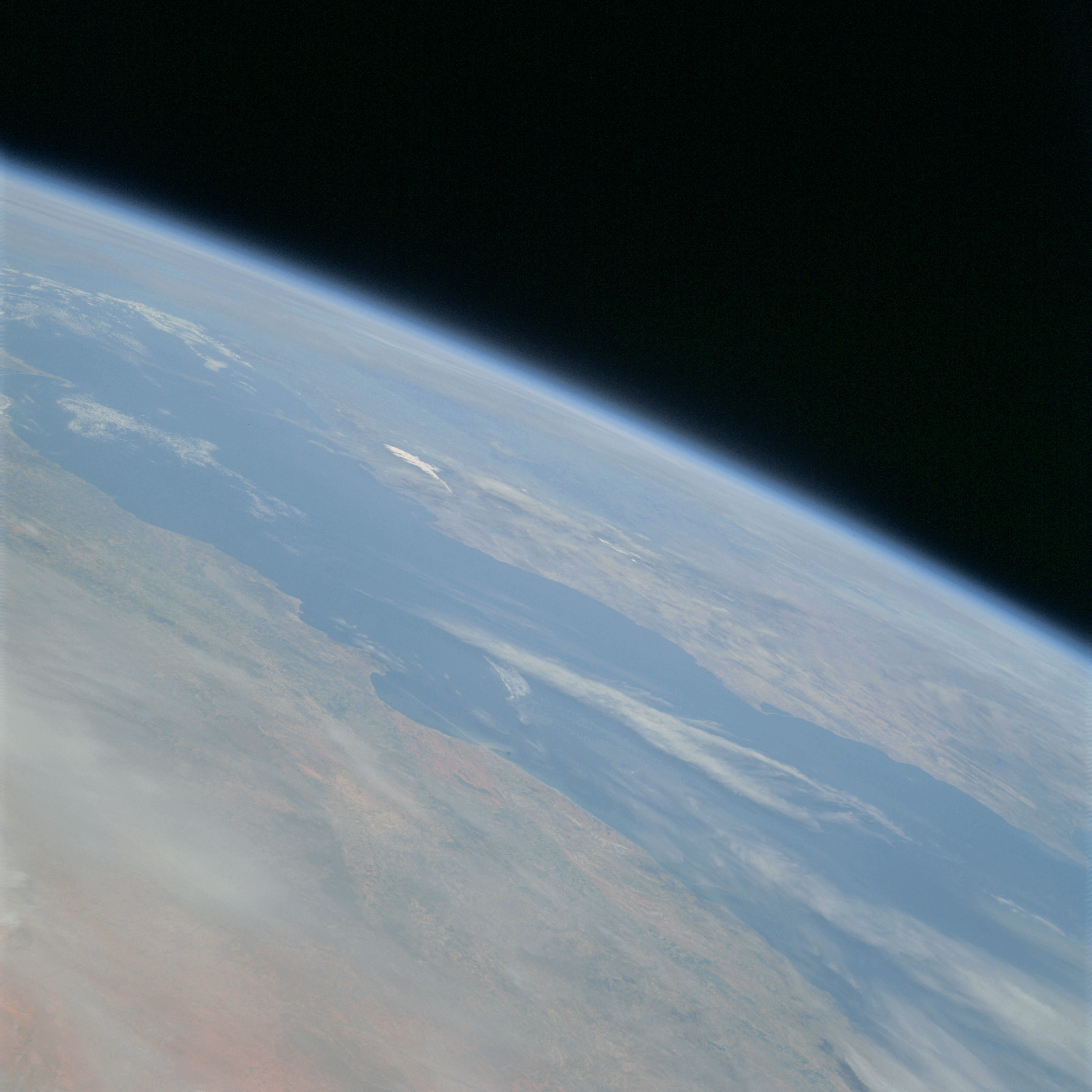 | AS09-23-3515 GEOGRAPHY/CARTOGRAPHY: North Africa, Mediterranean Sea, Spain. GEOLOGY/HYDROLOGY: Complex mountains and plateau. FORESTRY: Scattered shrubform. METEOROLOGY: Cumulus, cirrus. Image credit: Image Science and Analysis Laboratory, NASA-Johnson Space Center. |
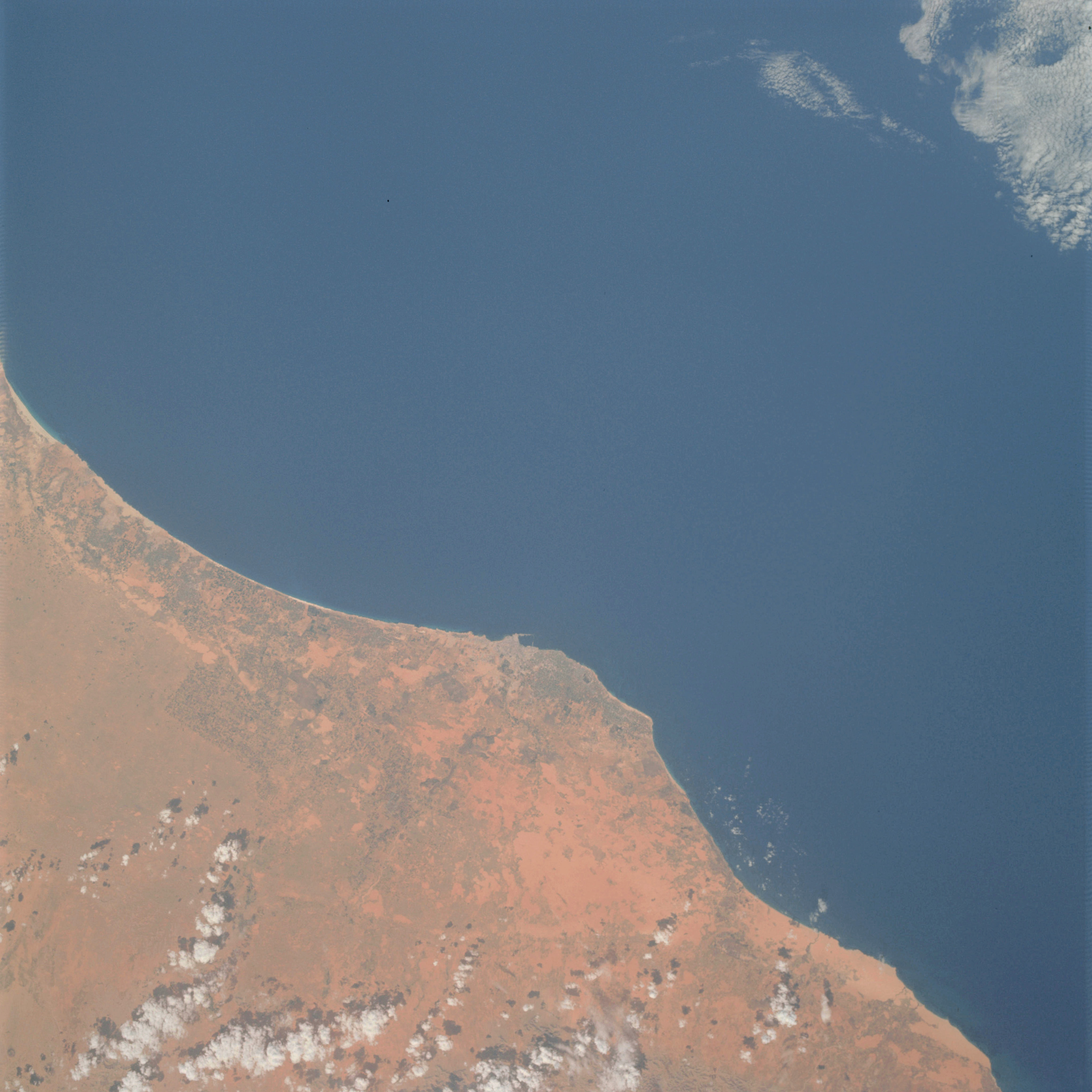 | AS09-23-3516 GEOGRAPHY/CARTOGRAPHY: Libya, Tripoli, Mediterranean Sea. GEOLOGY/HYDROLOGY: Coastal plain and complex plateau. AGRICULTURE: Intensive field patterns along the coastal plain. FORESTRY: Desert shrubform. METEOROLOGY: Cumulus. Image credit: Image Science and Analysis Laboratory, NASA-Johnson Space Center. |
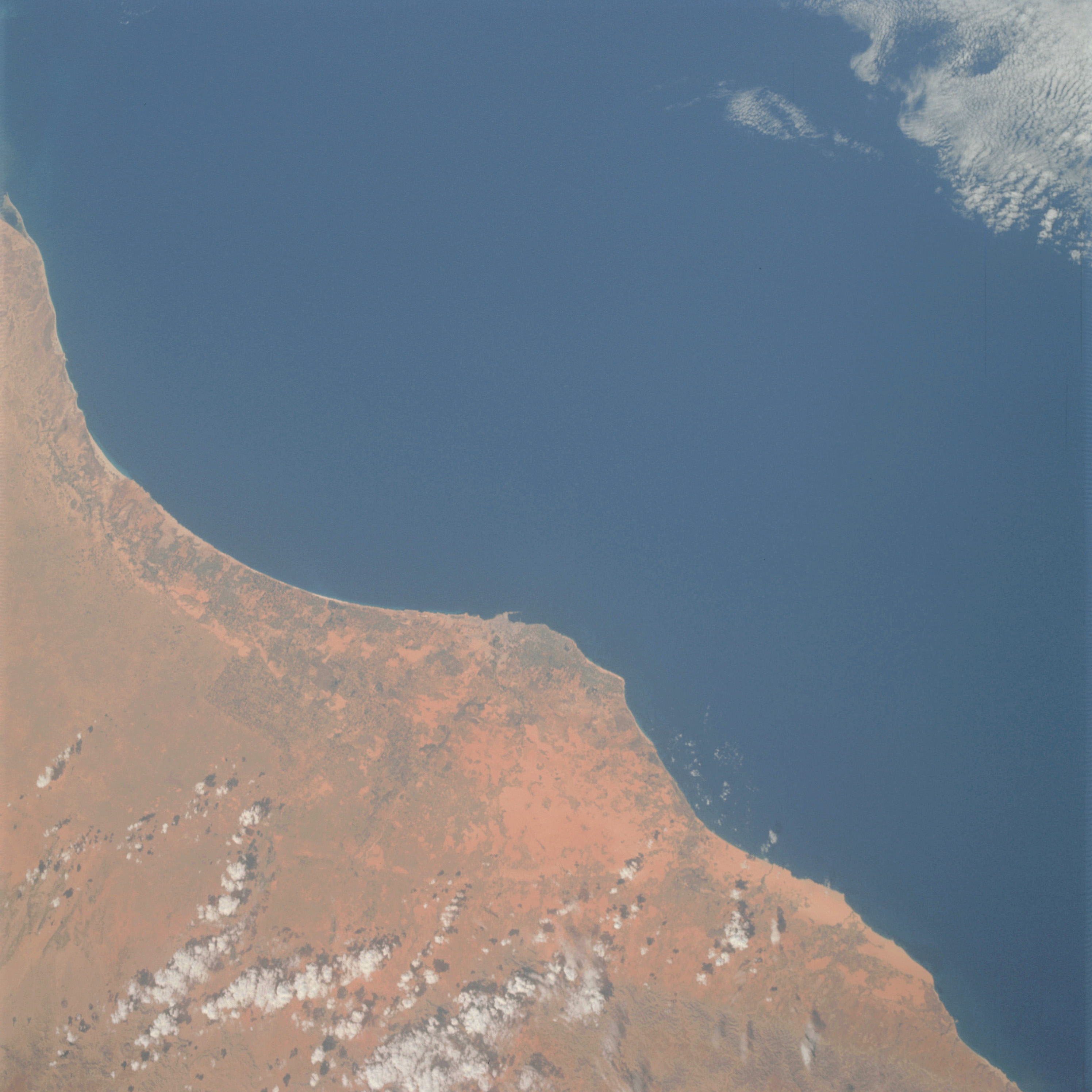 | AS09-23-3517 GEOGRAPHY/CARTOGRAPHY: Libya, Tripoli, Mediterranean Sea. GEOLOGY/HYDROLOGY: Coastal plain and complex plateau. AGRICULTURE: Intensive cultivation along the coastal plain. FORESTRY: Desert shrubform. METEOROLOGY: Cumulus. Image credit: Image Science and Analysis Laboratory, NASA-Johnson Space Center. |
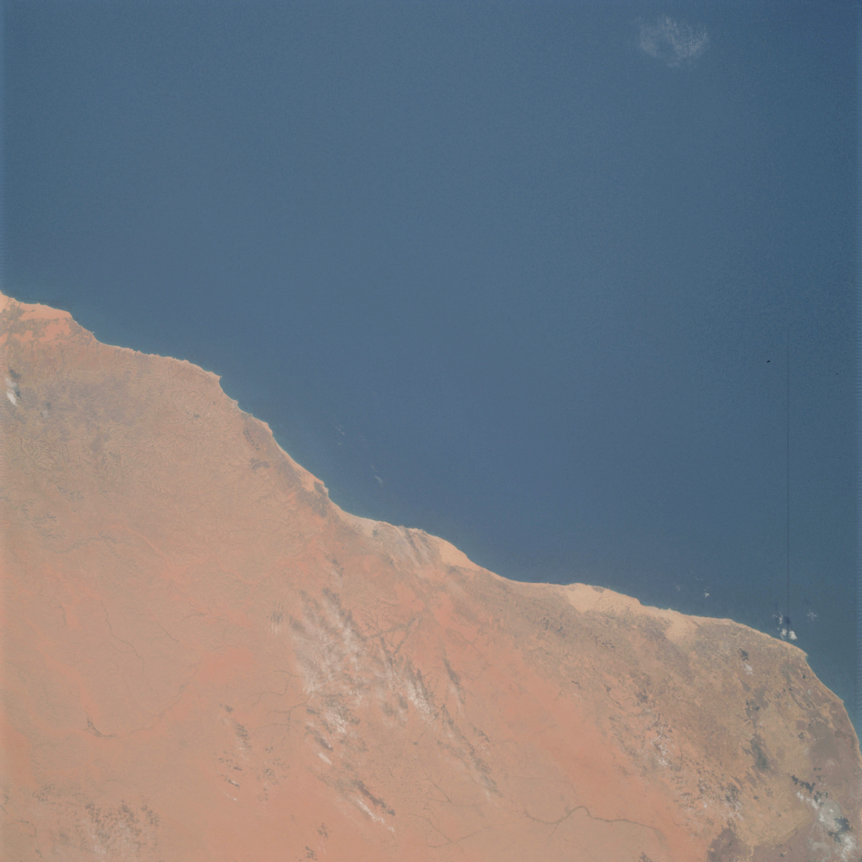 | AS09-23-3518 GEOGRAPHY/CARTOGRAPHY: Coast of Libya from Tripoli to Misurata. GEOLOGY/HYDROLOGY: Coastal plain and complex plateau. AGRICULTURE: Intensive cultivation along the coastal plain. FORESTRY: Desert shrubform. METEOROLOGY: Cumulus. OCEANOGRAPHY: Some wave action along the coastline. Image credit: Image Science and Analysis Laboratory, NASA-Johnson Space Center. |
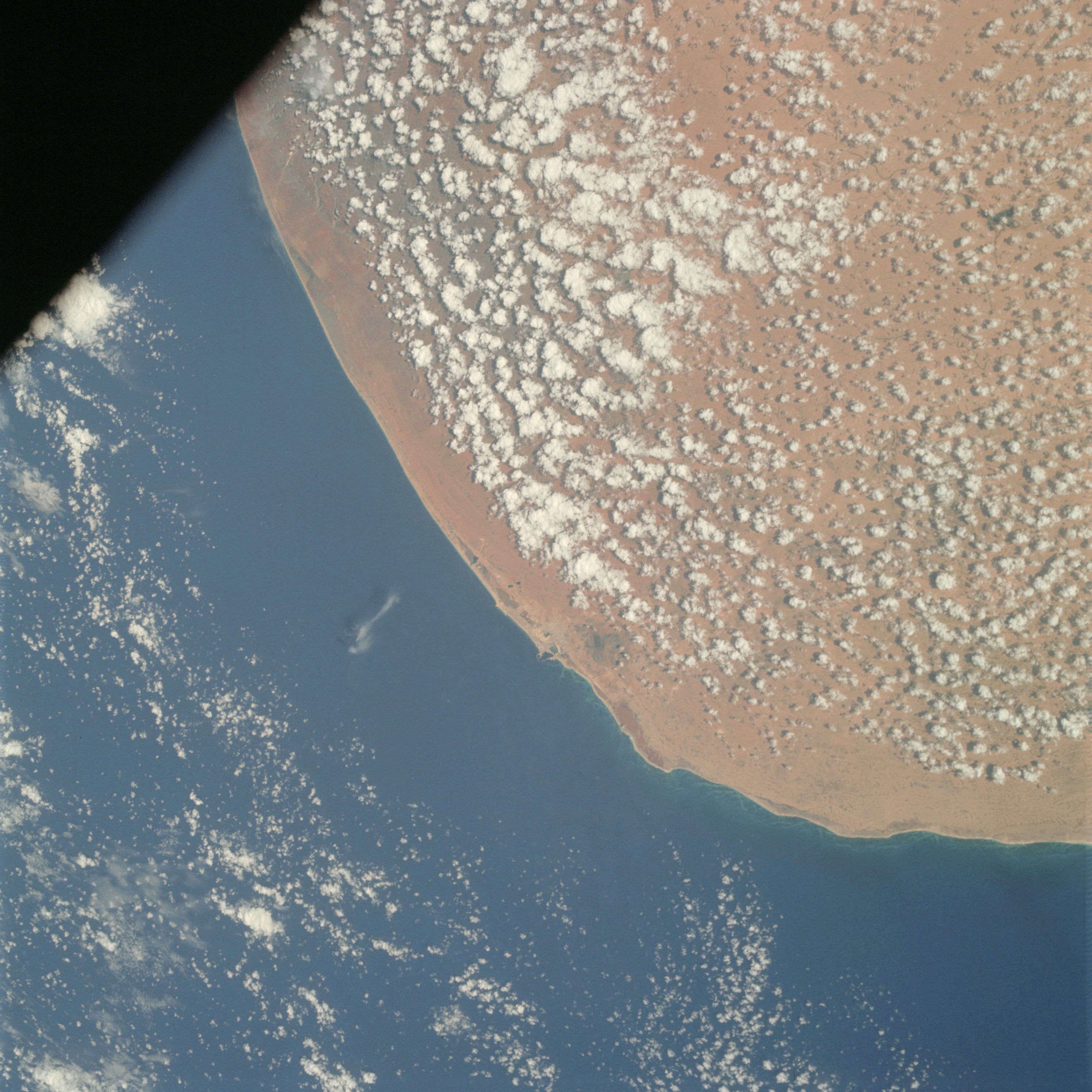 | AS09-23-3519 GEOGRAPHY/CARTOGRAPHY: Coast of Libya, Bengasi. GEOLOGY/HYDROLOGY: Coastal plain and complex plateau. FORESTRY: Desert shrub-form. METEOROLOGY: Cumulus. OCEANOGRAPHY: Shallow waters along the coastline, wave action. Image credit: Image Science and Analysis Laboratory, NASA-Johnson Space Center. |
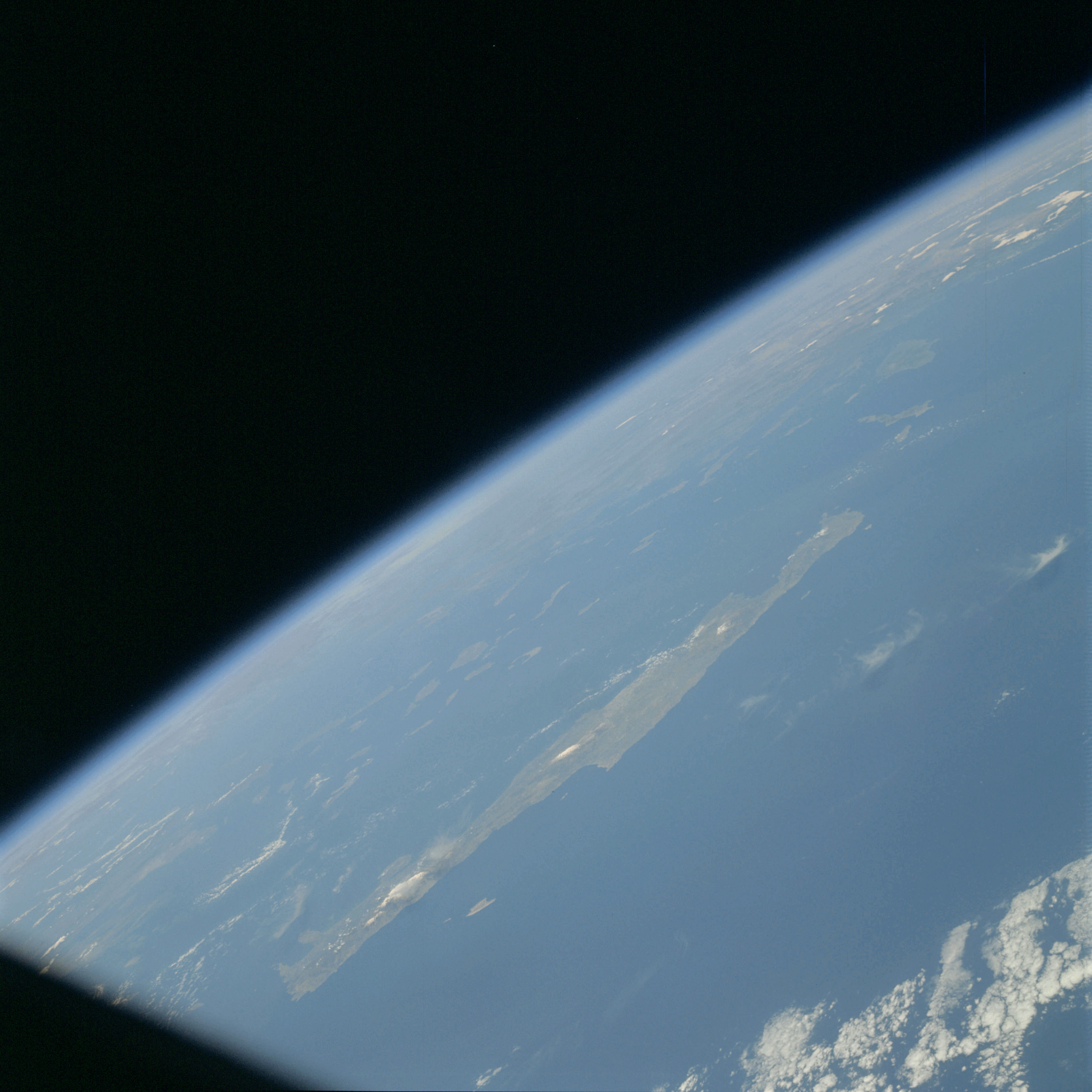 | AS09-23-3520 GEOGRAPHY/CARTOGRAPHY: Island of Crete, Mediterranean Sea. GEOLOGY/HYDROLOGY: Volcanic island. METEOROLOGY: Cumulus. Image credit: Image Science and Analysis Laboratory, NASA-Johnson Space Center. |
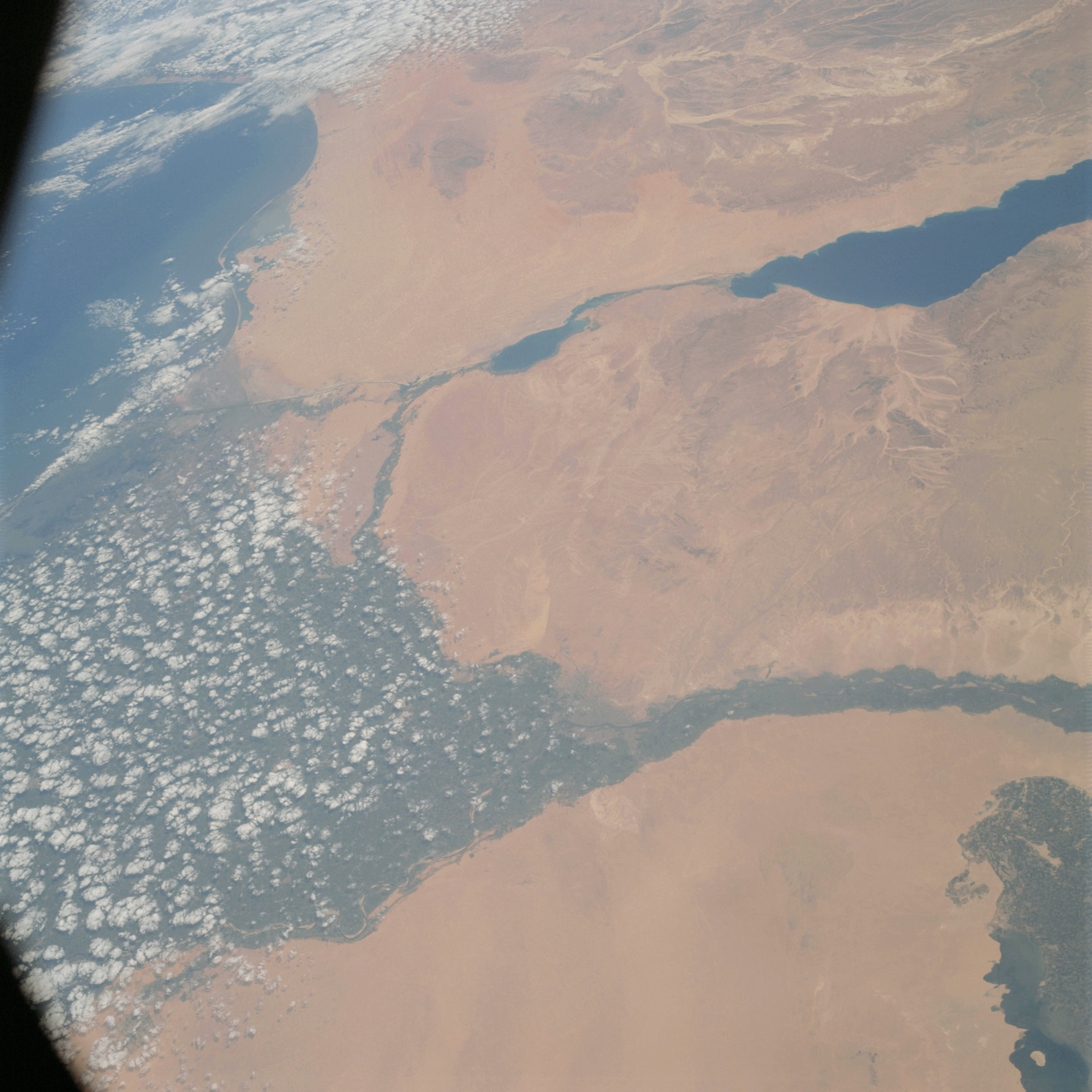 | AS09-23-3521 GEOGRAPHY/CARTOGRAPHY: Nile Delta, Suez Canal, Gulf of Suez, Cairo. GEOLOGY/HYDROLOGY: Alluvial deposits. AGRICULTURE: Intensive cultivation. METEOROLOGY: Cumulus. OCEANOGRAPHY: Sediment deposits. Image credit: Image Science and Analysis Laboratory, NASA-Johnson Space Center. |
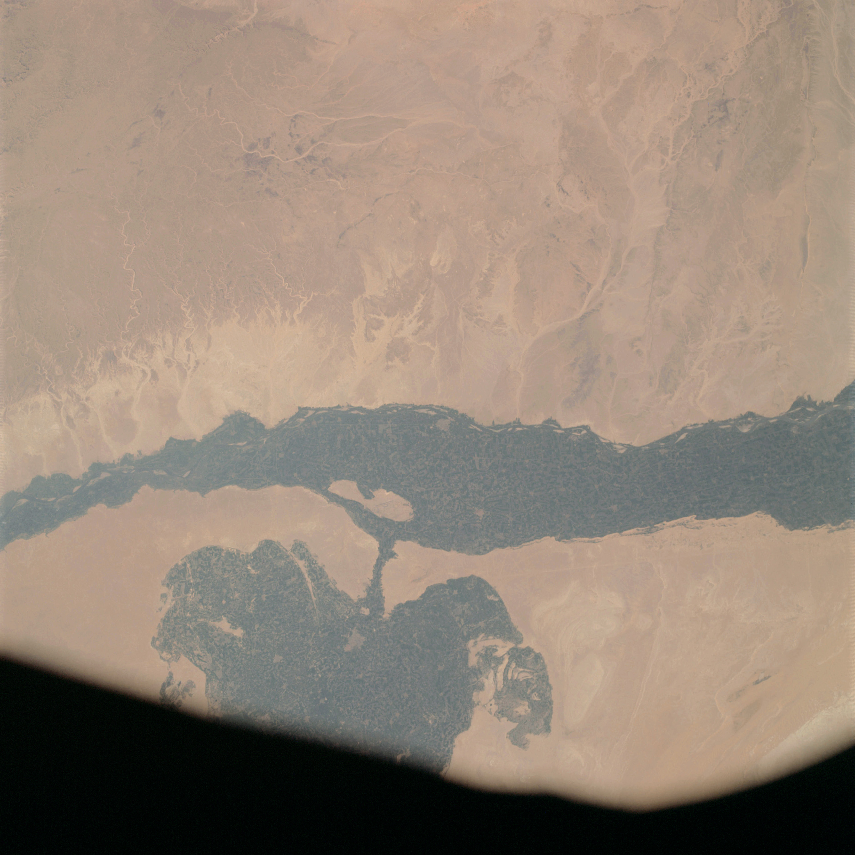 | AS09-23-3522 GEOGRAPHY/CARTOGRAPHY: United Arab Republic, Nile River at Beni Suweif. GEOLOGY/HYDROLOGY: Nile flood plain and complex plateau. AGRICULTURE: Intensive cultivations, on the flood plain. Irrigation network visible. FORESTRY: Desert shrubform. Image credit: Image Science and Analysis Laboratory, NASA-Johnson Space Center. |
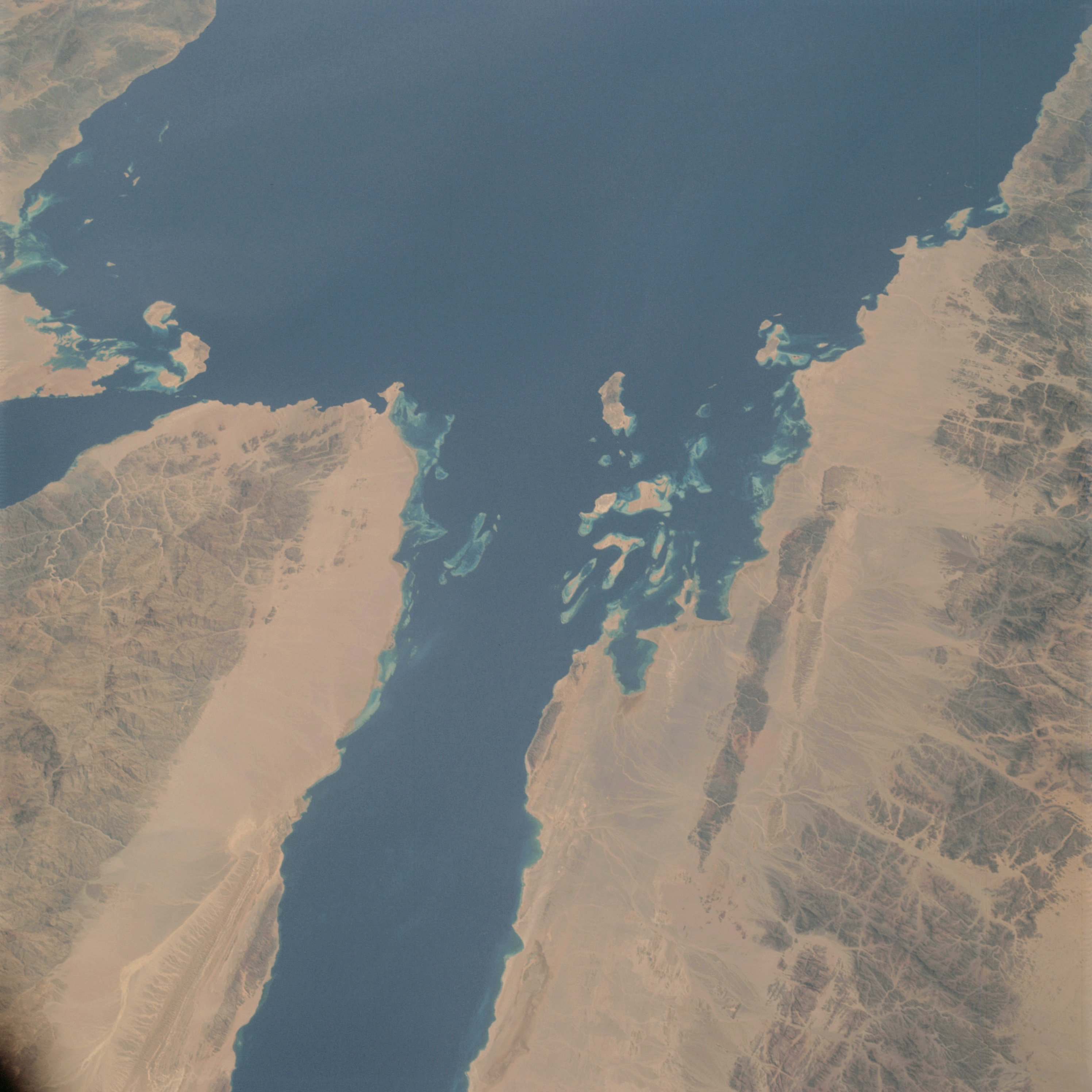 | AS09-23-3523 GEOGRAPHY/CARTOGRAPHY: Strait of Gubal, Sinai. GEOLOGY/HYDROLOGY: Erg plain and rugged hills of basement complex. FORESTRY: Desert shrubform. OCEANOGRAPHY: Shallow along the coast. Image credit: Image Science and Analysis Laboratory, NASA-Johnson Space Center. |
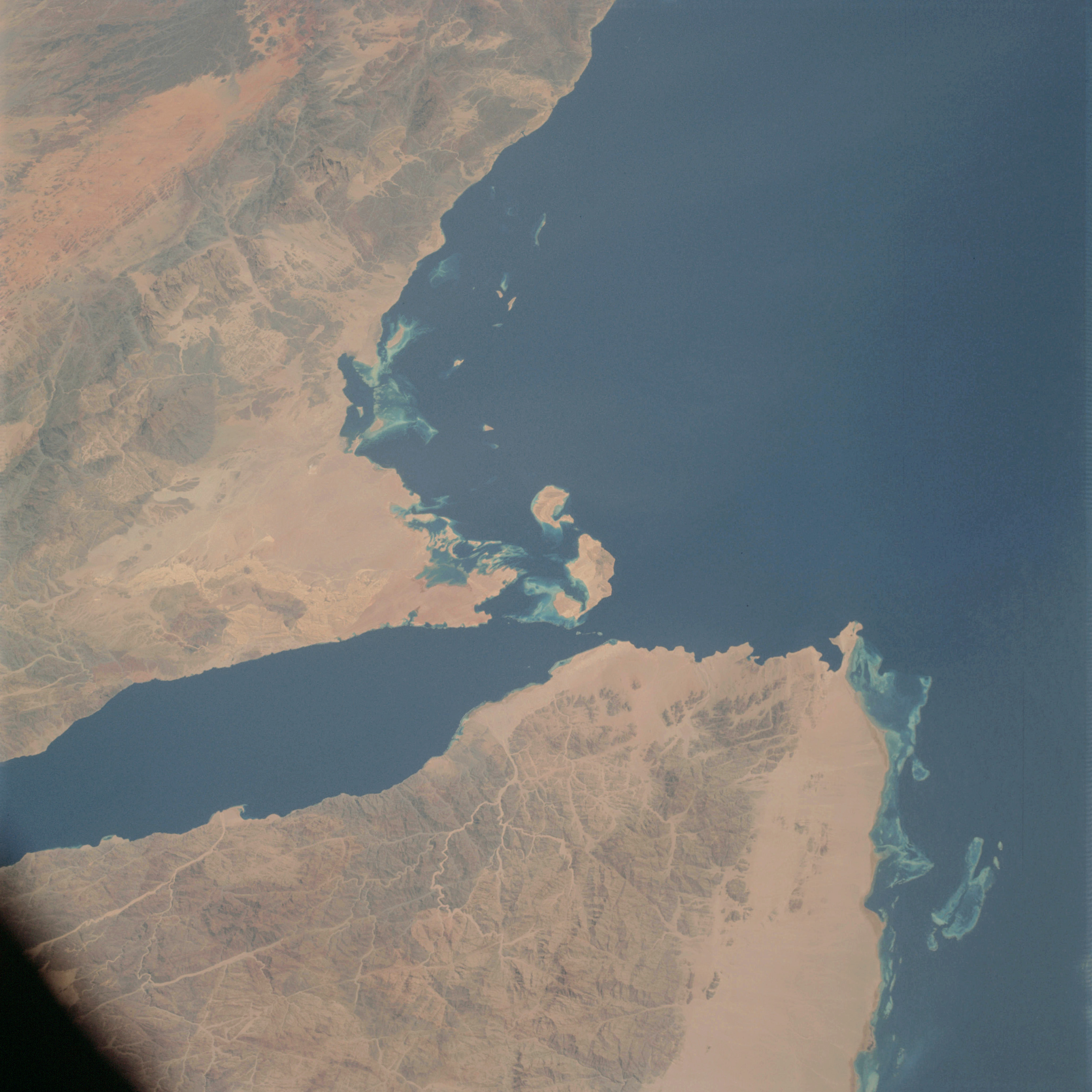 | AS09-23-3524 GEOGRAPHY/CARTOGRAPHY: Saudi Arabia, Gulf of Aqaba, Sinai Peninsula. GEOLOGY/HYDROLOGY: Erg plain and rugged hills of basement complex. FORESTRY: Desert shrubform. Image credit: Image Science and Analysis Laboratory, NASA-Johnson Space Center. |
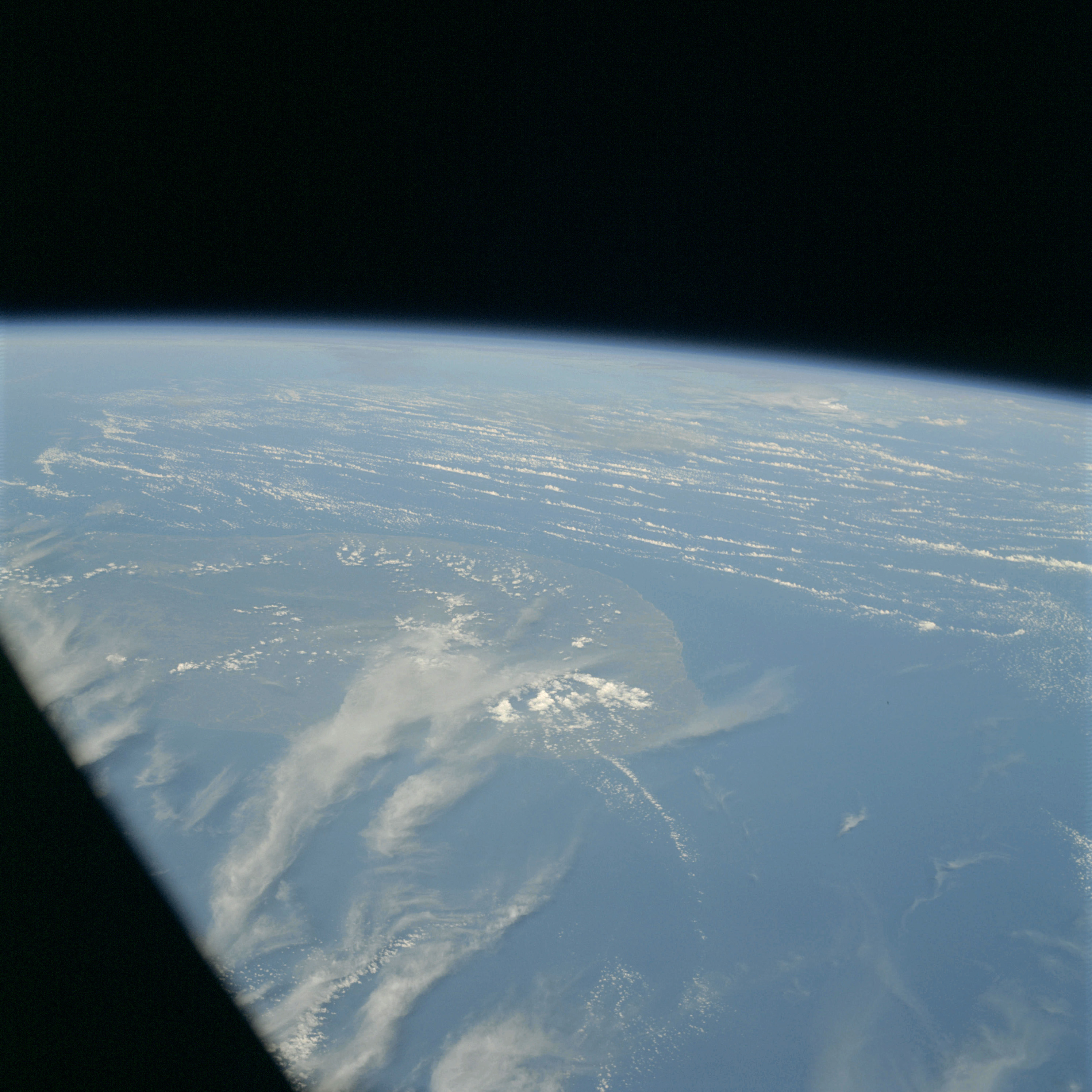 | AS09-23-3525 GEOGRAPHY/CARTOGRAPHY: Ceylon. GEOLOGY/HYDROLOGY: Complex plateau. METEOROLOGY: Cumulus, thick cirrus. Image credit: Image Science and Analysis Laboratory, NASA-Johnson Space Center. |
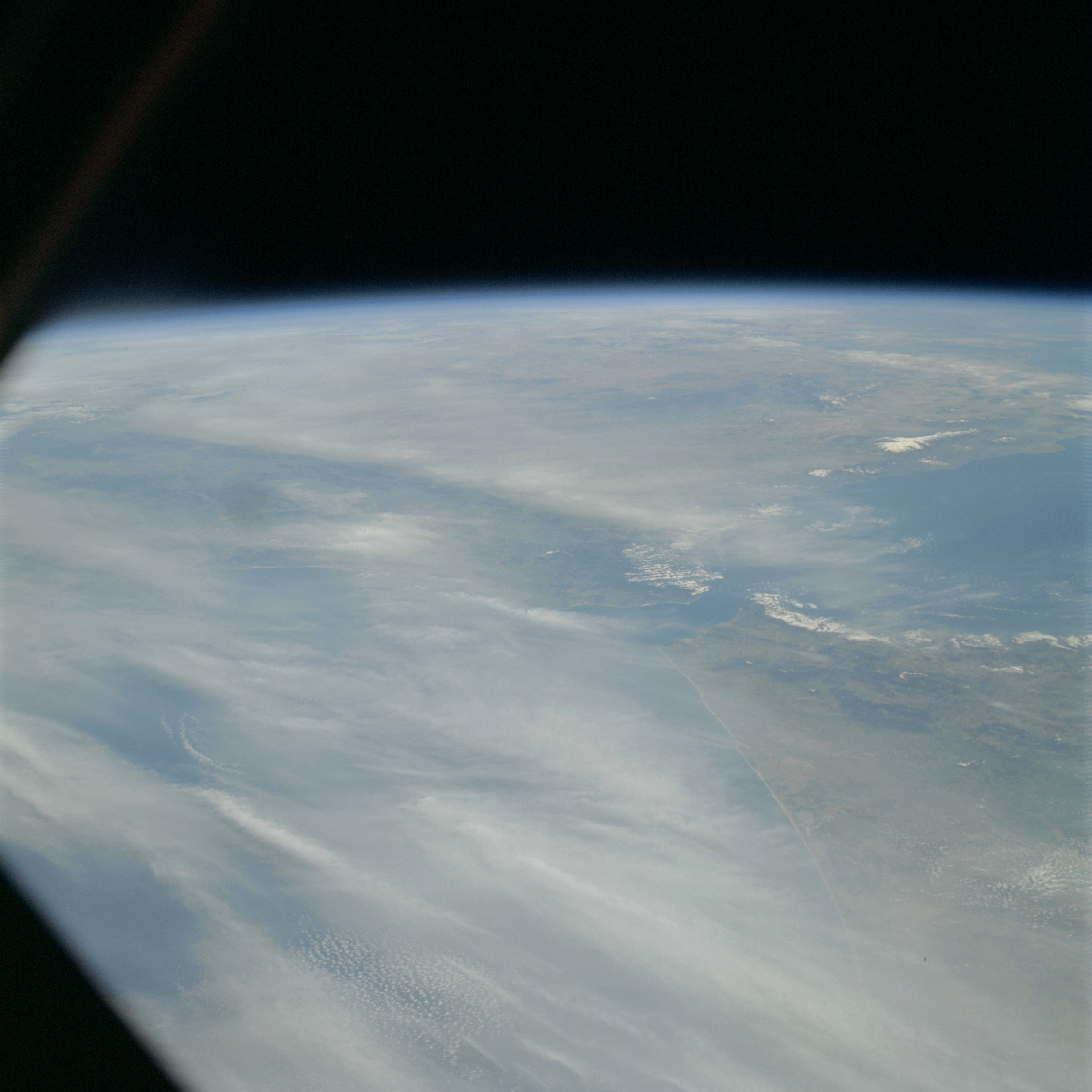 | AS09-23-3526 GEOGRAPHY/CARTOGRAPHY: Strait of Gibraltar, Morocco, Spain. GEOLOGY/HYDROLOGY: Complex mountains and plateau. METEOROLOGY: Cumulus, cirrus. Image credit: Image Science and Analysis Laboratory, NASA-Johnson Space Center. |
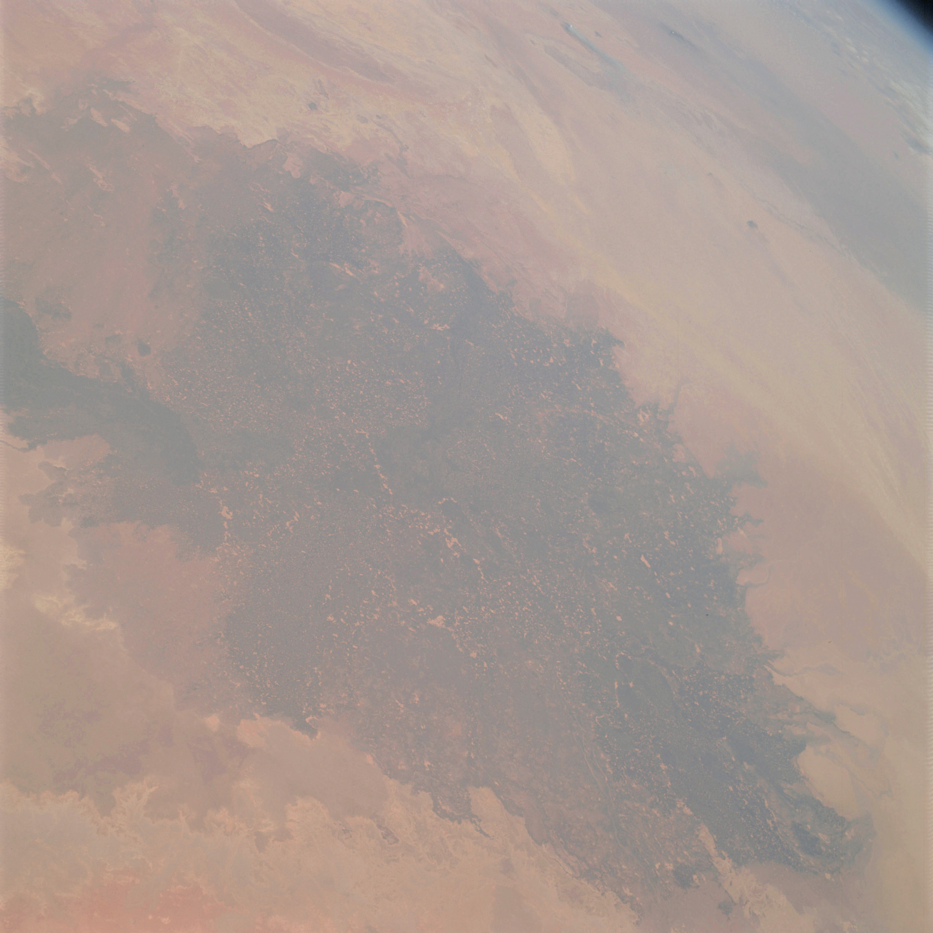 | AS09-23-3527 GEOGRAPHY/CARTOGRAPHY: Africa, Algeria, Libya (Orbit 119). GEOLOGY/HYDROLOGY: Complex mountains and plateau. AGRICULTURE: Field patterns around the oasis. FORESTRY: Desert shrubform. Image credit: Image Science and Analysis Laboratory, NASA-Johnson Space Center. |
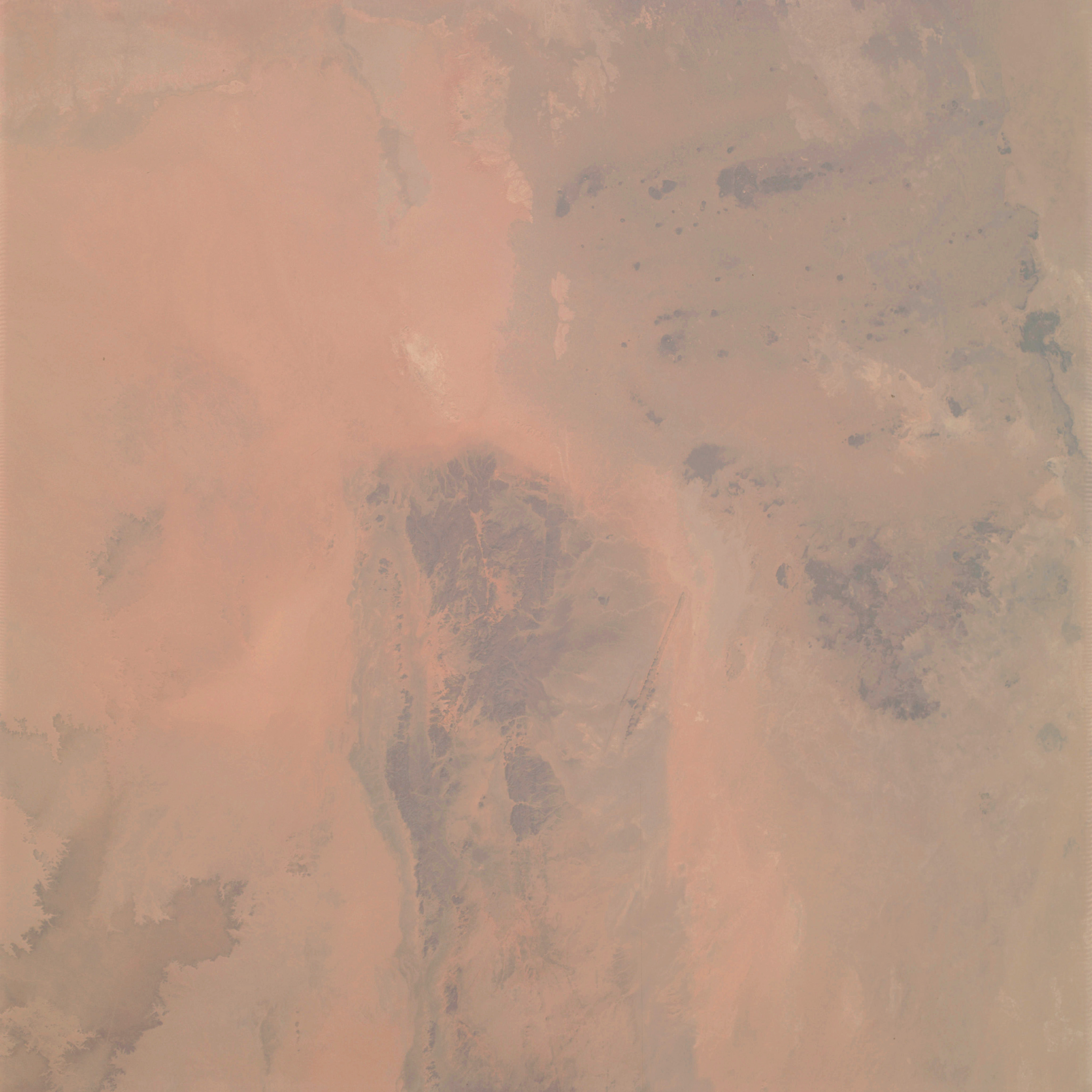 | AS09-23-3528 GEOGRAPHY/CARTOGRAPHY: Africa, Algeria, Libya (Orbit 119). GEOLOGY/HYDROLOGY: Complex plateau. FORESTRY: Desert shrubform. Image credit: Image Science and Analysis Laboratory, NASA-Johnson Space Center. |
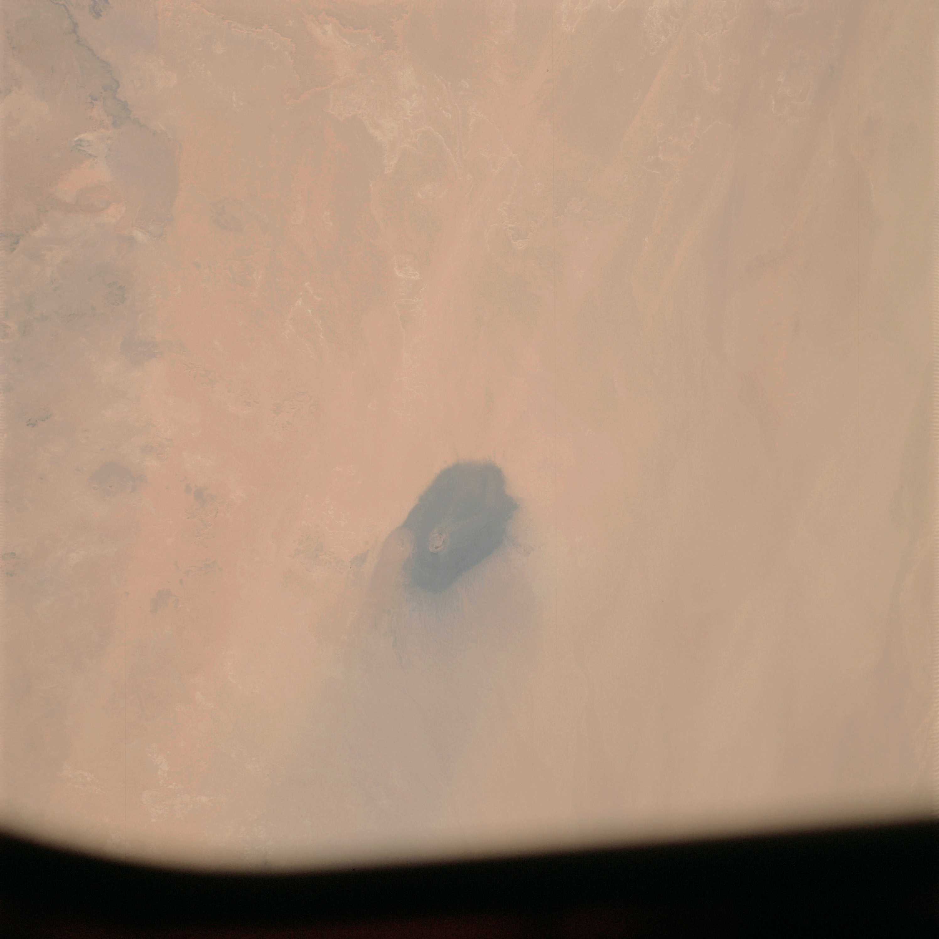 | AS09-23-3529 GEOGRAPHY/CARTOGRAPHY: Africa, Algeria, Libya (Orbit 119). GEOLOGY/HYDROLOGY: Complex plateau. Image credit: Image Science and Analysis Laboratory, NASA-Johnson Space Center. |
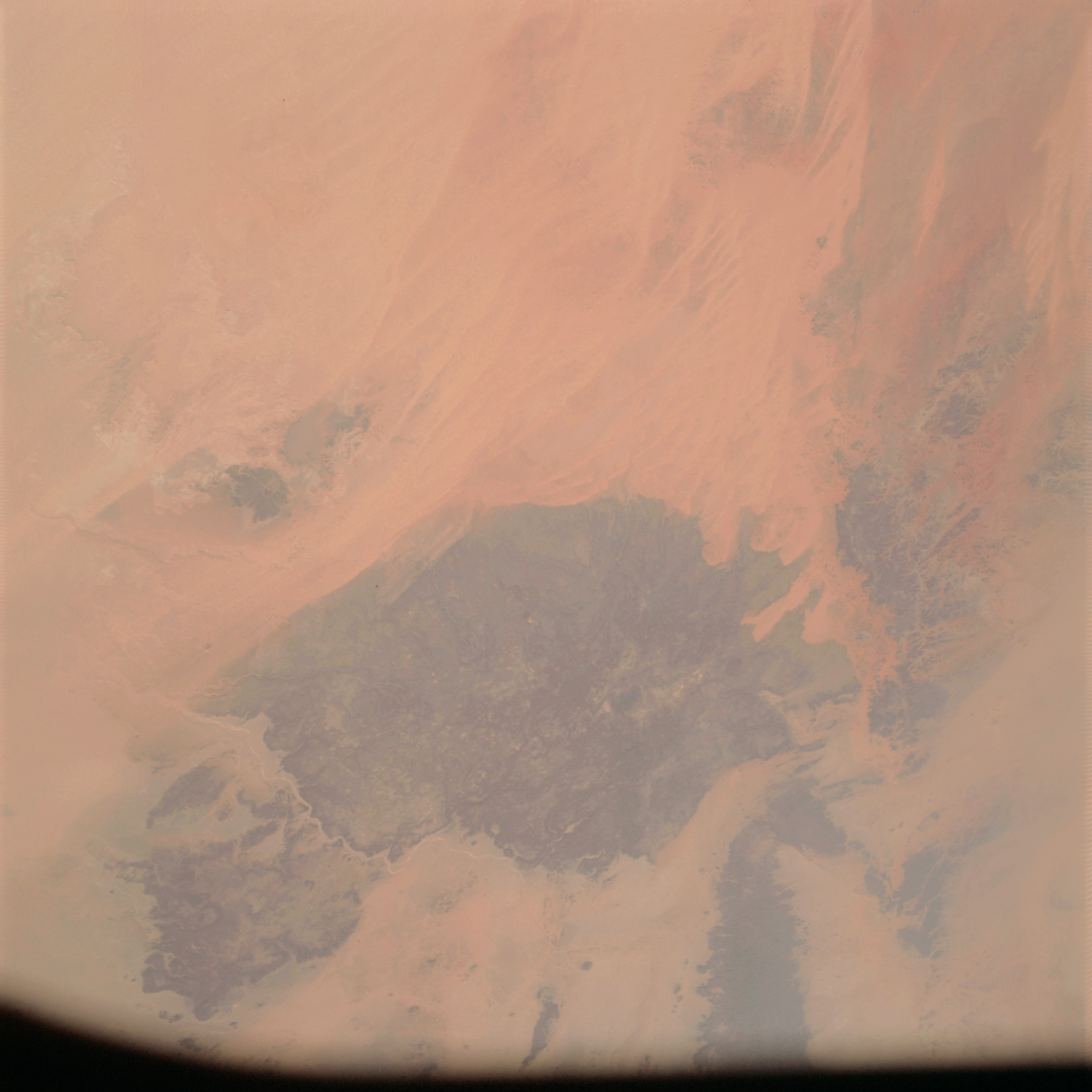 | AS09-23-3530 GEOGRAPHY/CARTOGRAPHY: Africa, Algeria, Libya (Orbit 119). GEOLOGY/HYDROLOGY: Complex plateau. AGRICULTURE: Dry farming. FORESTRY: Desert shrubform. Image credit: Image Science and Analysis Laboratory, NASA-Johnson Space Center. |
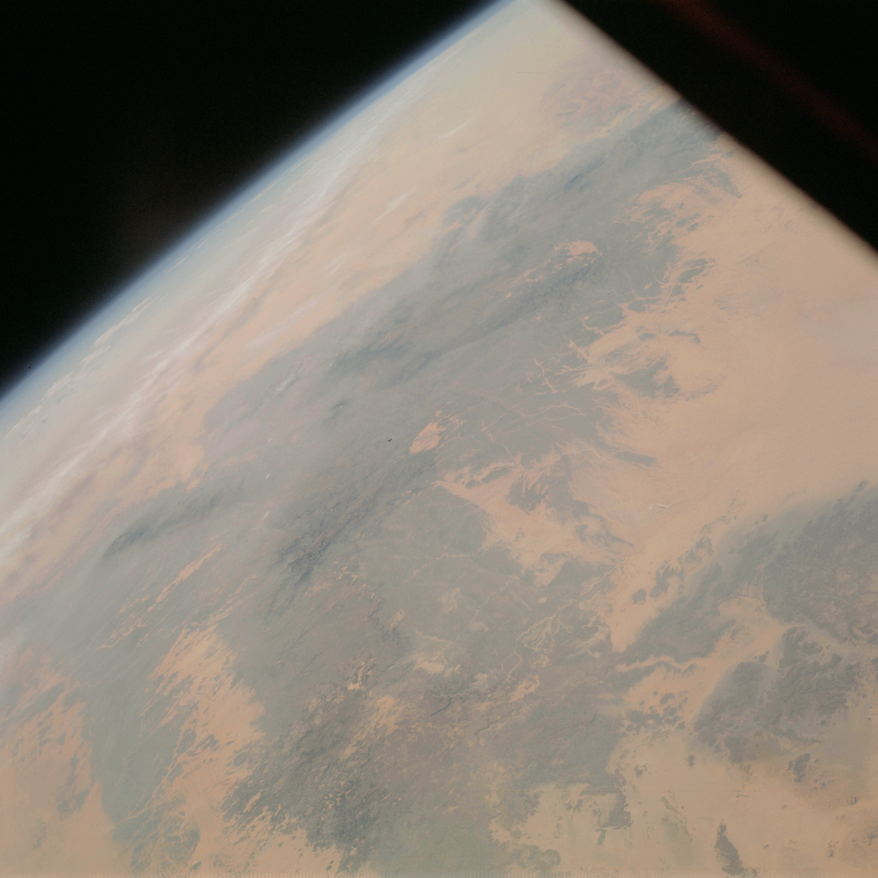 | AS09-23-3531 GEOGRAPHY/CARTOGRAPHY: Africa, Algeria, Libya (Orbit 119). GEOLOGY/HYDROLOGY: Complex plateau. FORESTRY: Desert shrubform on higher elevations. METEOROLOGY: Cirrus. Image credit: Image Science and Analysis Laboratory, NASA-Johnson Space Center. |
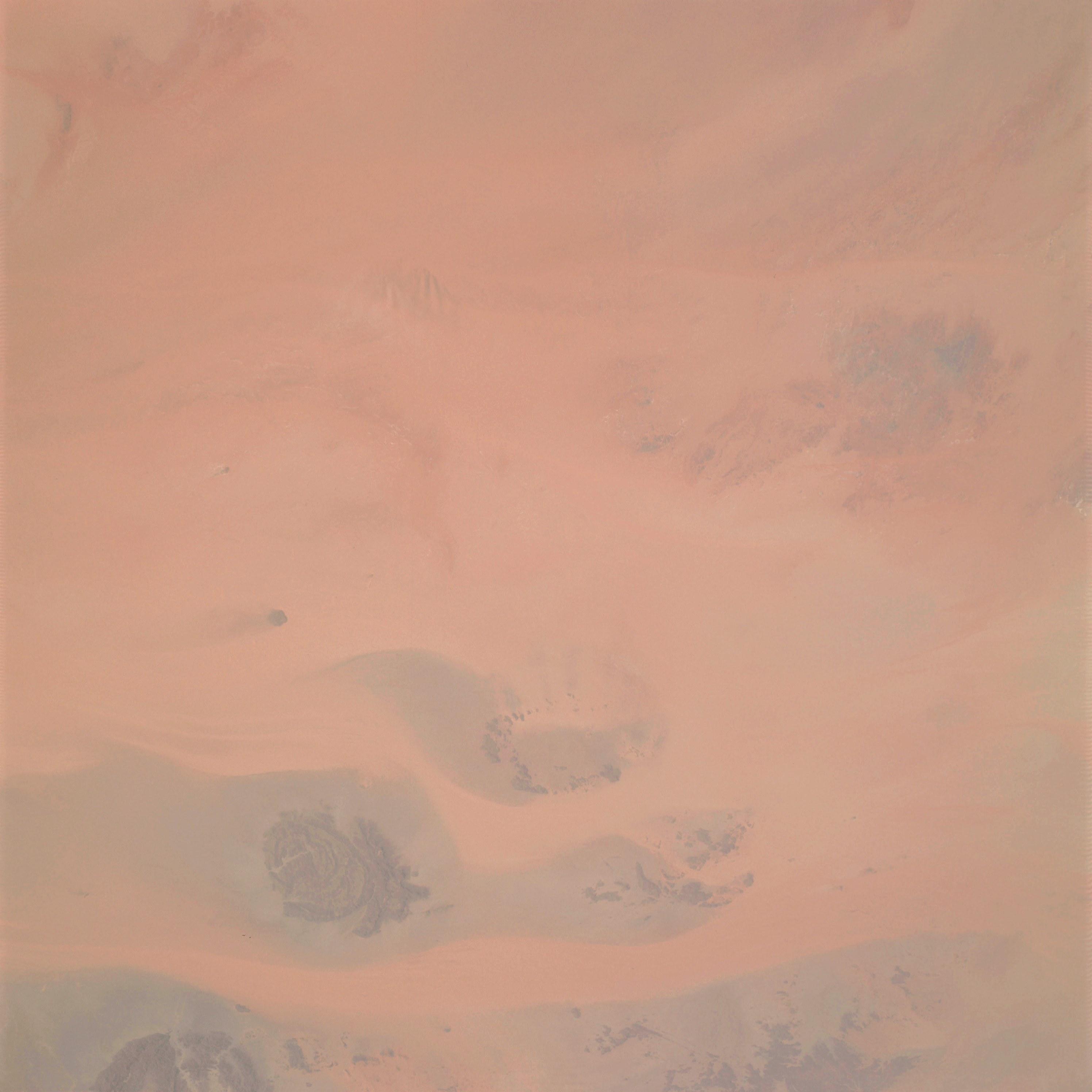 | AS09-23-3532 GEOGRAPHY/CARTOGRAPHY: Africa, Algeria, Libya (Orbit 179). GEOLOGY/HYDROLOGY: Complex plateau. FORESTRY: Desert shrubform on higher elevations. Image credit: Image Science and Analysis Laboratory, NASA-Johnson Space Center. |
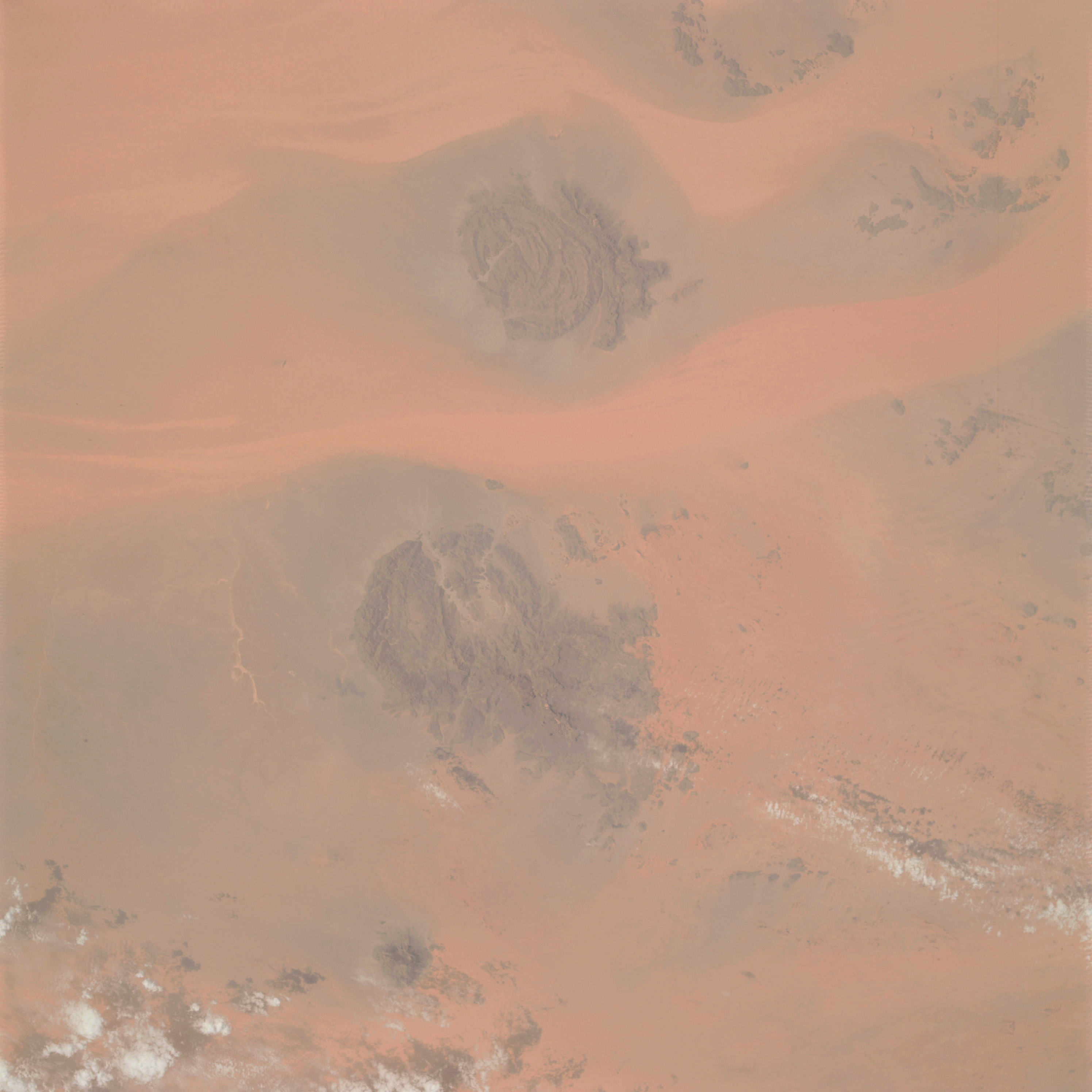 | AS09-23-3533 GEOGRAPHY/CARTOGRAPHY: Africa, Algeria, Libya (Orbit 119). GEOLOGY/HYDROLOGY: Complex plateau. FORESTRY: Desert shrubform on higher elevations. METEOROLOGY: Cumulus. Image credit: Image Science and Analysis Laboratory, NASA-Johnson Space Center. |
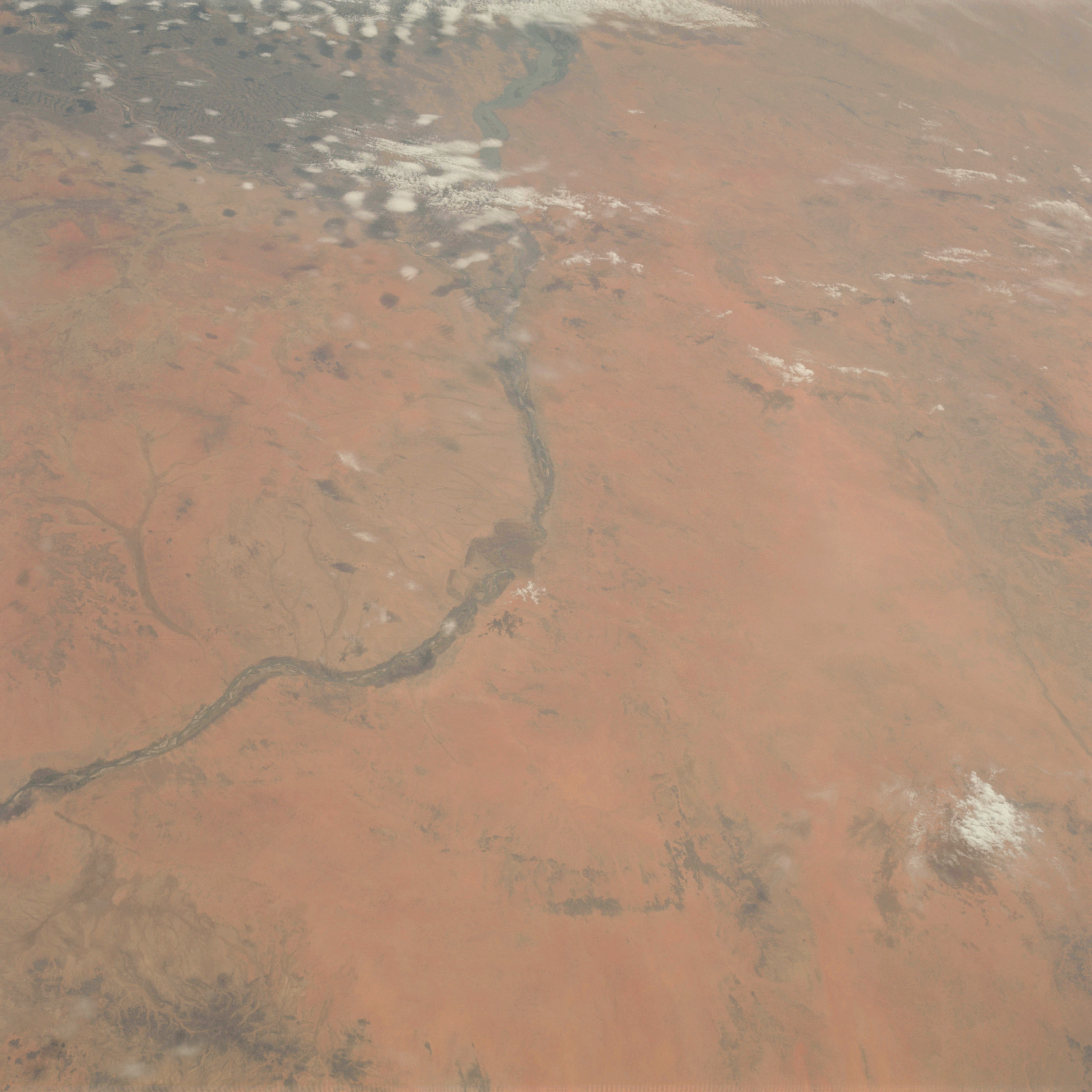 | AS09-23-3534 GEOGRAPHY/CARTOGRAPHY: Sudan, Nile River. GEOLOGY/HYDROLOGY: Flood plain and complex plateau. AGRICULTURE: Cultivation on the flood plain. FORESTRY: Scattered desert shrubform. METEOROLOGY: Cumulus. Image credit: Image Science and Analysis Laboratory, NASA-Johnson Space Center. |
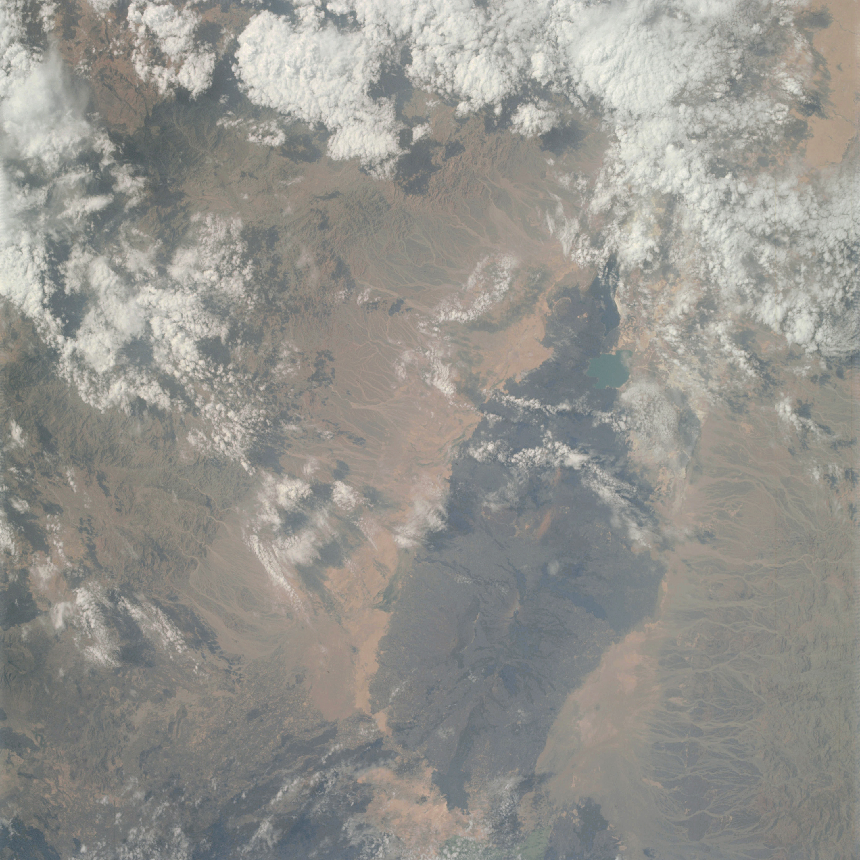 | AS09-23-3535 GEOGRAPHY/CARTOGRAPHY: Ethiopia, Somaliland. GEOLOGY/HYDROLOGY: Complex plateau and volcanic highlands. AGRICULTURE: Field pattern in the valley. FORESTRY: Hardwood forest stands. METEOROLOGY: Cumulus. Image credit: Image Science and Analysis Laboratory, NASA-Johnson Space Center. |
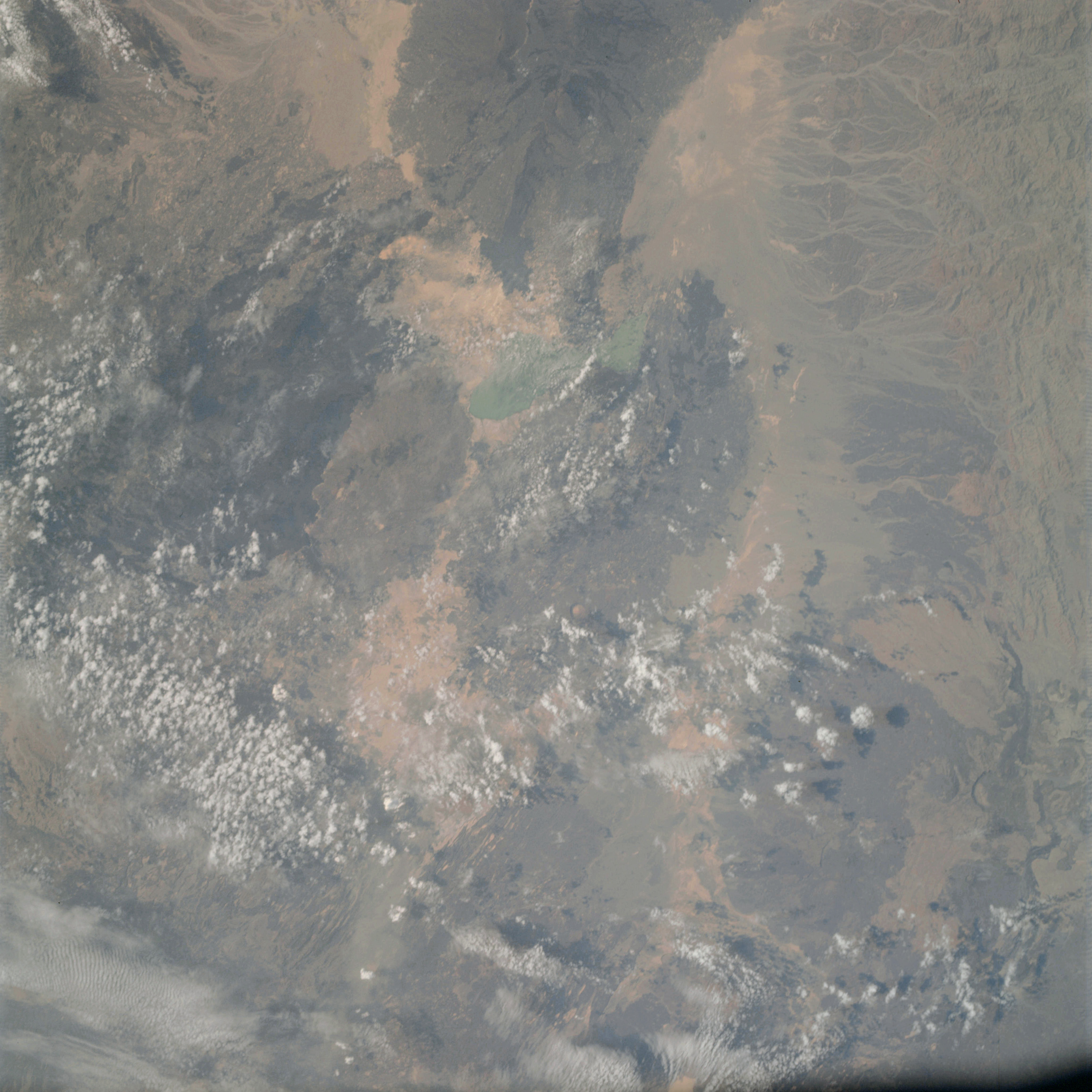 | AS09-23-3536 GEOGRAPHY/CARTOGRAPHY: Ethiopia, Afrera. GEOLOGY/HYDROLOGY: Complex plateau and volcanic highlands. AGRICULTURE: Field pattern on the plateau and valley. FORESTRY: Broadleaf, hardwood forest stands. METEOROLOGY: Cumulus, cirrus. Image credit: Image Science and Analysis Laboratory, NASA-Johnson Space Center. |
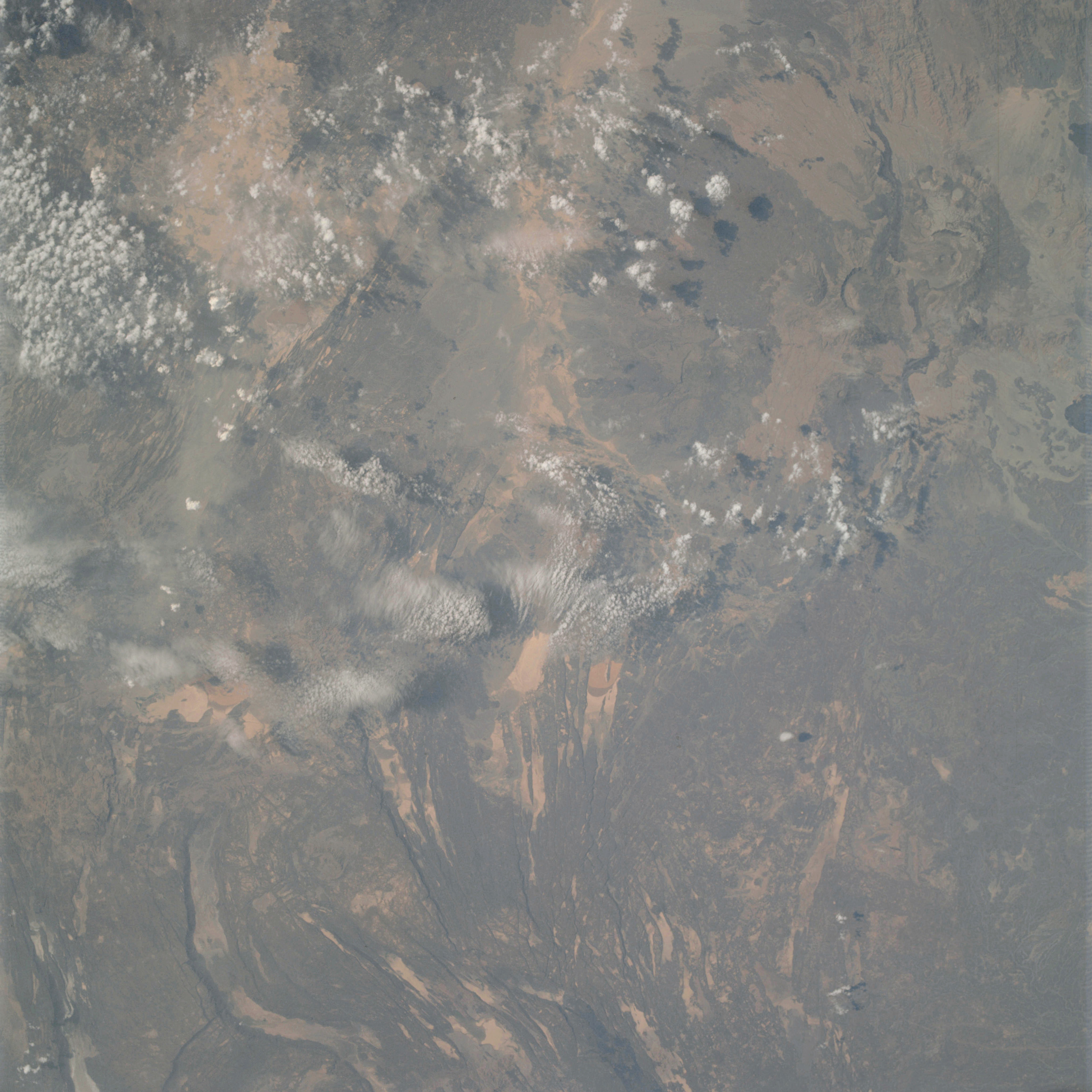 | AS09-23-3537 GEOGRAPHY/CARTOGRAPHY: Ethiopia, Somaliland. GEOLOGY/HYDROLOGY: Complex metamorphic plateau. AGRICULTURE: Scattered cultivated areas. FORESTRY: Broadleaf, hardwood forest stands. METEOROLOGY: Cumulus. Image credit: Image Science and Analysis Laboratory, NASA-Johnson Space Center. |
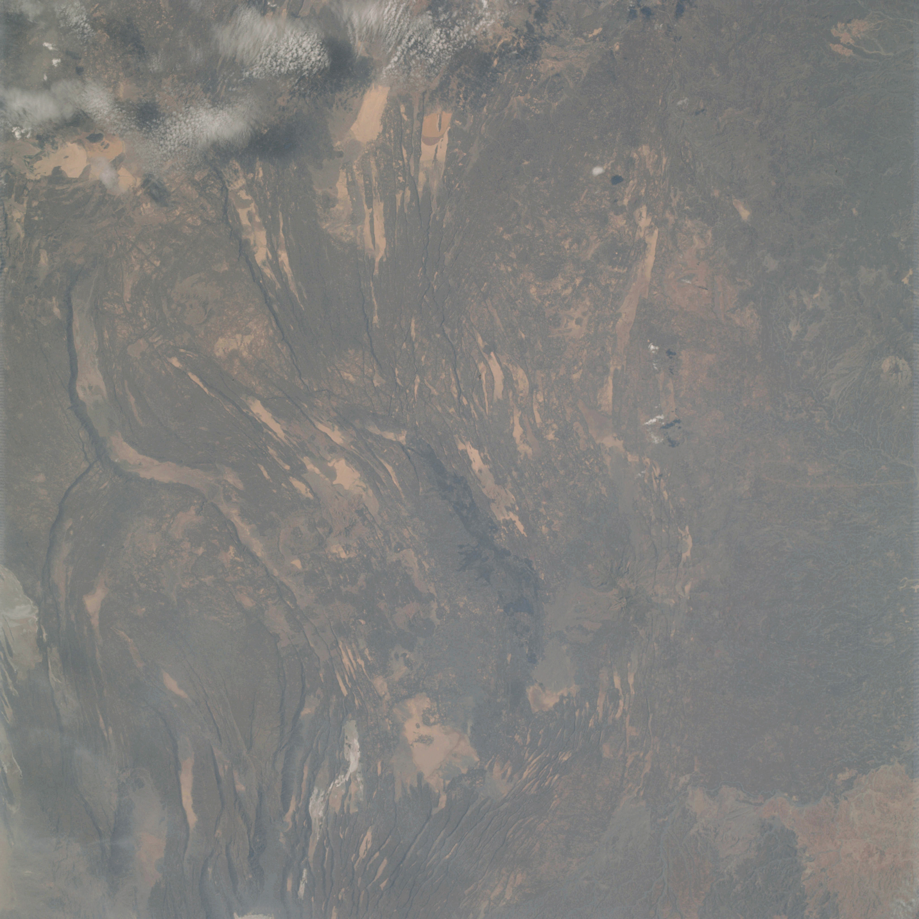 | AS09-23-3538 GEOGRAPHY/CARTOGRAPHY: Ethiopia, Somaliland. GEOLOGY/ HYDROLOGY: Highly dissected complex metamorphic plateau. AGRICULTURE: Scattered cultivated areas. FORESTRY: Broadleaf, hardwood forest stands, METEOROLOGY: Cumulus. Image credit: Image Science and Analysis Laboratory, NASA-Johnson Space Center. |
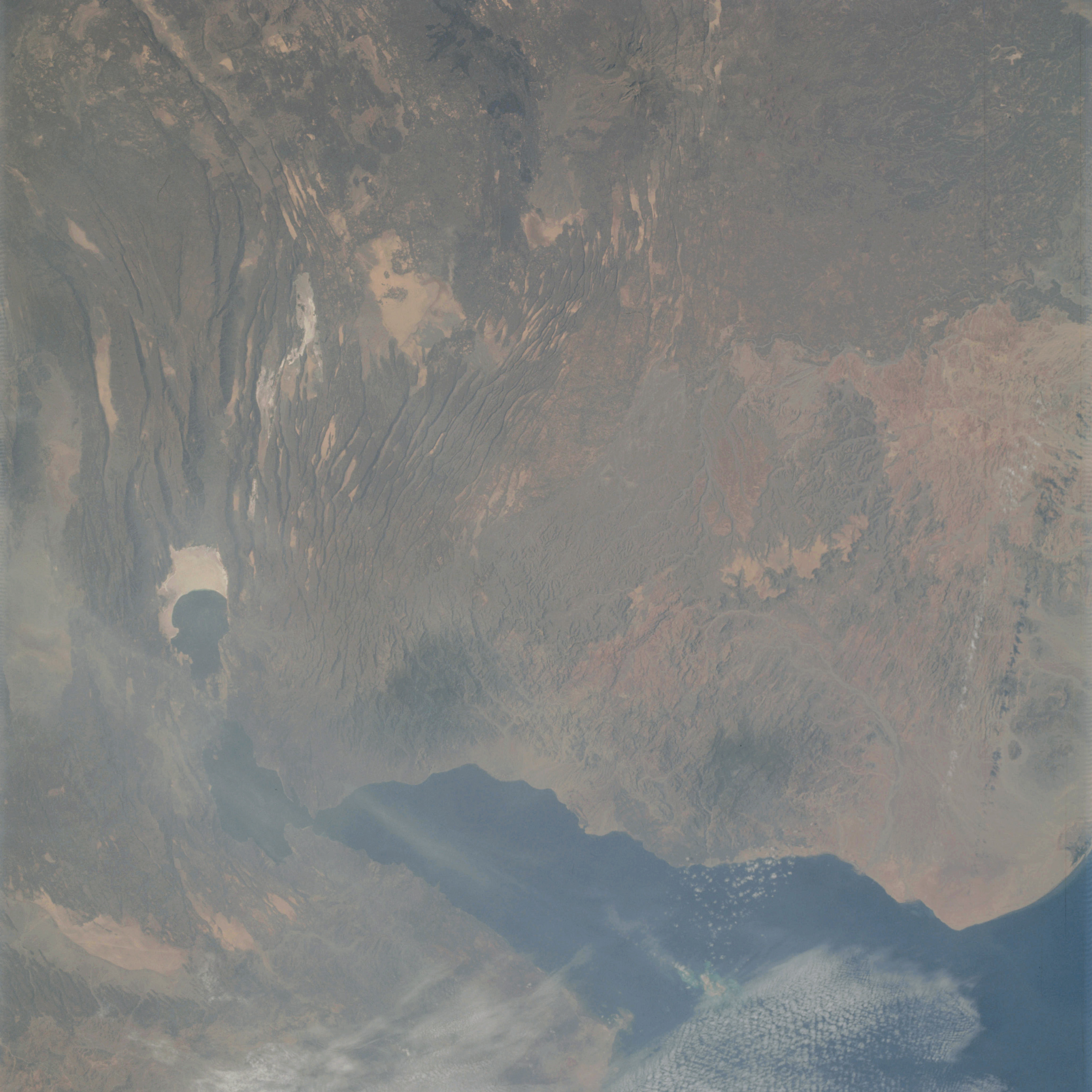 | AS09-23-3539 GEOGRAPHY/CARTOGRAPHY: Ethiopia, Somaliland, Gulf of Aden. GEOLOGY/HYDROLOGY: Dissected complex metamorphic plateau. FORESTRY: Broadleaf, hardwood forest stands. METEOROLOGY: Cumulus, cirrus. Image credit: Image Science and Analysis Laboratory, NASA-Johnson Space Center. |
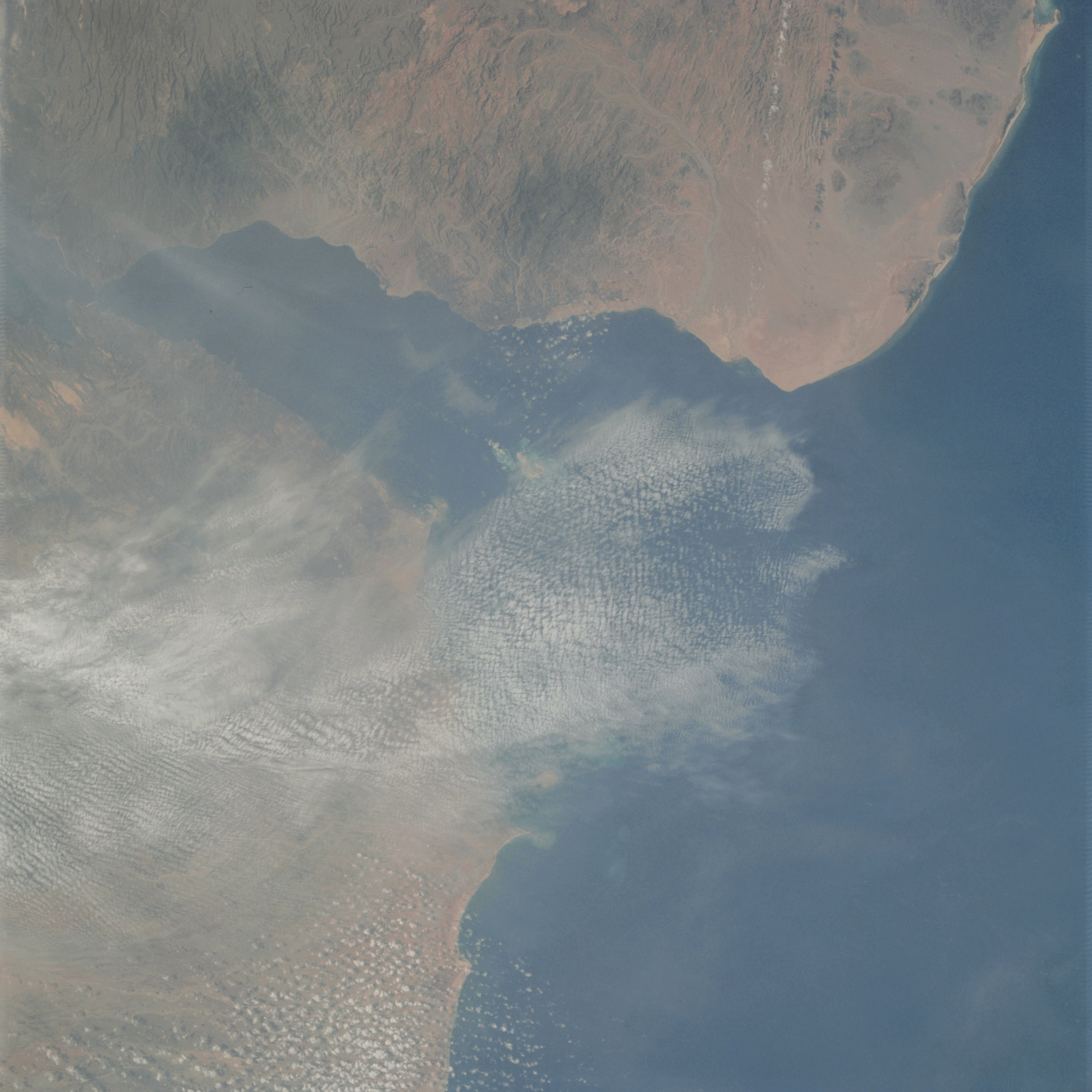 | AS09-23-3540 GEOGRAPHY/CARTOGRAPHY: Gulf of Tadjoura, Somaliland, Ethiopia, Somalia, Gulf of Aden. GEOLOGY/HYDROLOGY: Narrow coastal plain and dissected complex metamorphic plateau. FORESTRY: Scattered stands of hardwood forest. METEOROLOGY: Cumulus, alto-cumulus, cirrus. OCEANOGRAPHY: Ocean depth variations. Image credit: Image Science and Analysis Laboratory, NASA-Johnson Space Center. |
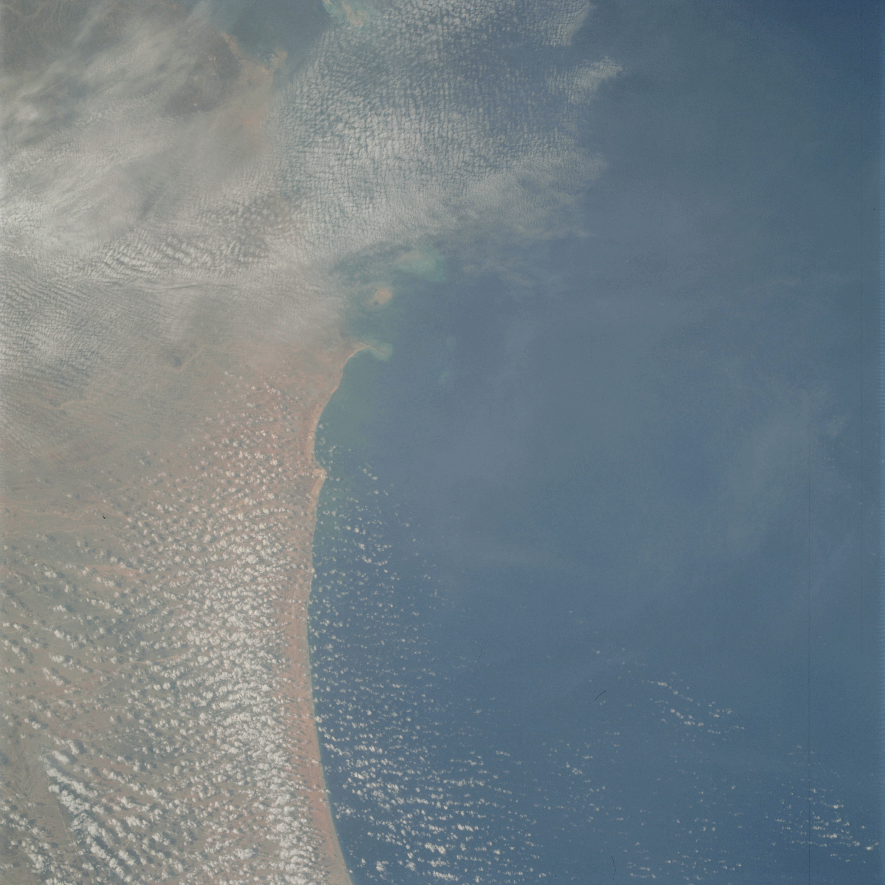 | AS09-23-3541 GEOGRAPHY/CARTOGRAPHY: Gulf of Tadjoura, Somaliland, Ethiopia, Somalia, Gulf of Aden. GEOLOGY/HYDROLOGY: Narrow coastal plain and complex metamorphic plateau. METEOROLOGY: Cumulus, alto-cumulus, cirrus. OCEANOGRAPHY: Ocean depth variations. Image credit: Image Science and Analysis Laboratory, NASA-Johnson Space Center. |
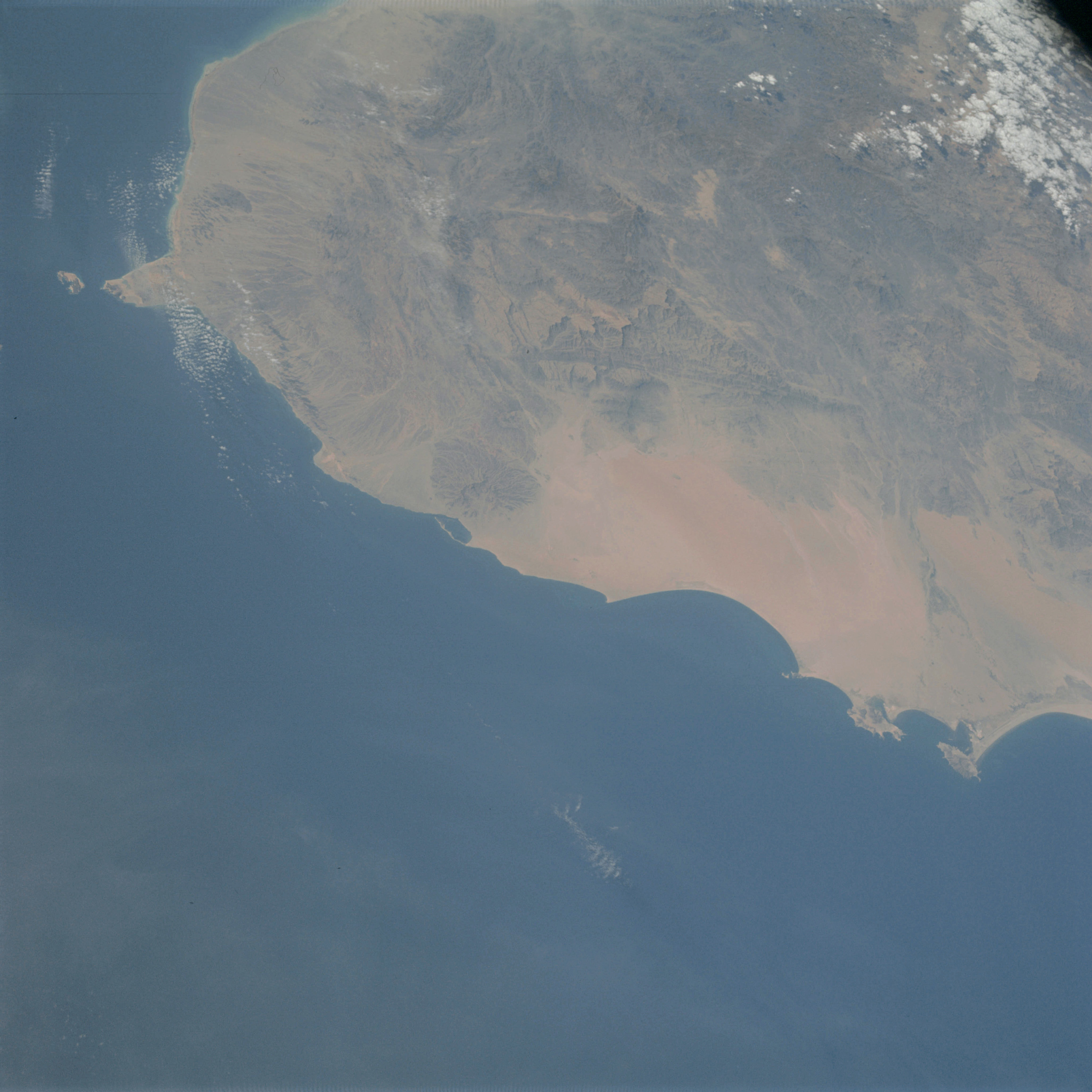 | AS09-23-3542 GEOGRAPHY/CARTOGRAPHY: Yemen, Aden, South Arabia, Straits of Bab Al Mandab. GEOLOGY/HYDROLOGY: Narrow coastal plain and complex metamorphic plateau. FORESTRY: Scattered desert shrubform. METEOROLOGY: Cumulus. OCEANOGRAPHY: Ocean depth variations. Image credit: Image Science and Analysis Laboratory, NASA-Johnson Space Center. |
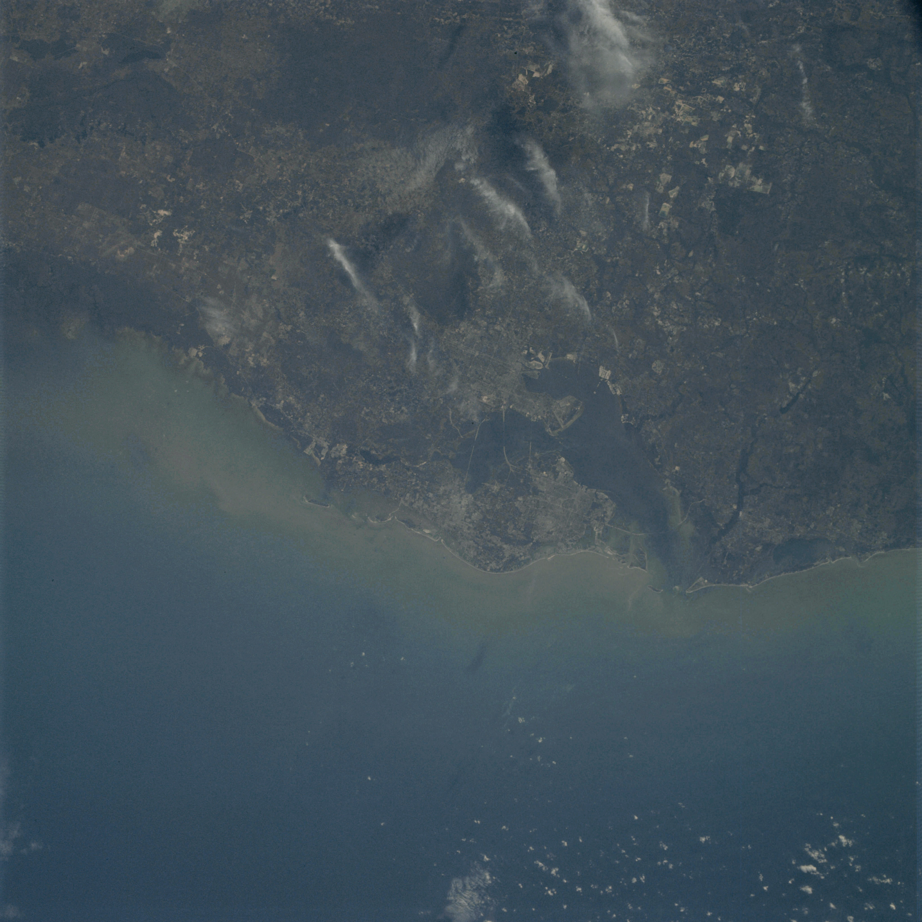 | AS09-23-3543 GEOGRAPHY/CARTOGRAPHY: Florida, Tampa, Regional transportation network. GEOLOGY/HYDROLOGY: Coastal plain. AGRICULTURE: Scattered intensive cultivation. FORESTRY: Mixed forest stands. METEOROLOGY: Cumulus, cirrus. OCEANOGRAPHY: Shallow coastal area indicating the extent of the continental shelf. Image credit: Image Science and Analysis Laboratory, NASA-Johnson Space Center. |
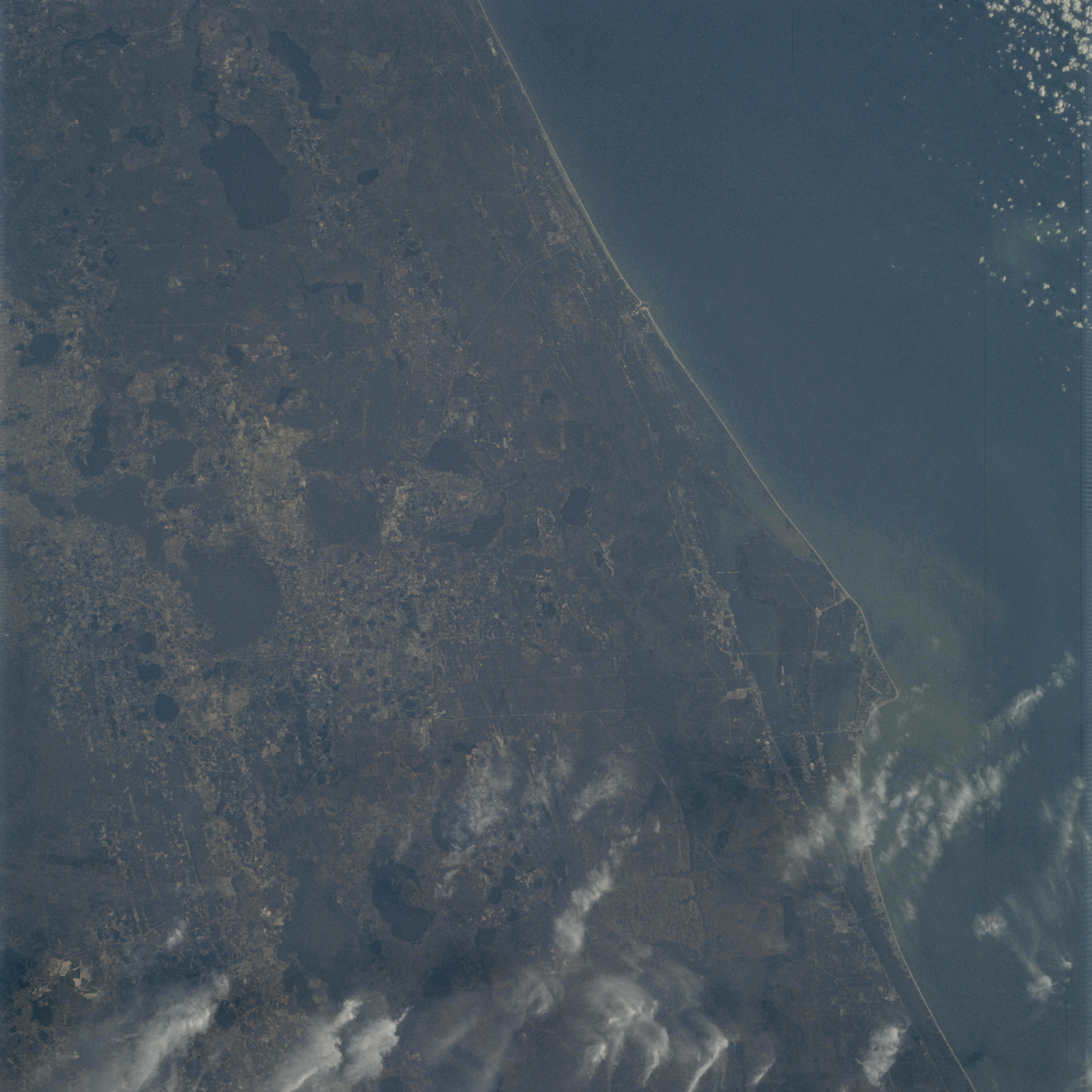 | AS09-23-3544 GEOGRAPHY/CARTOGRAPHY: Florida, Cape Kennedy, Regional transportation network. GEOLOGY/HYDROLOGY: Coastal plain. AGRICULTURE: Scattered cultivated areas. FORESTRY: Mixed forest stands. METEOROLOGY: Cumulus, cirrus. OCEANOGRAPHY: Ocean depth variations. Image credit: Image Science and Analysis Laboratory, NASA-Johnson Space Center. |
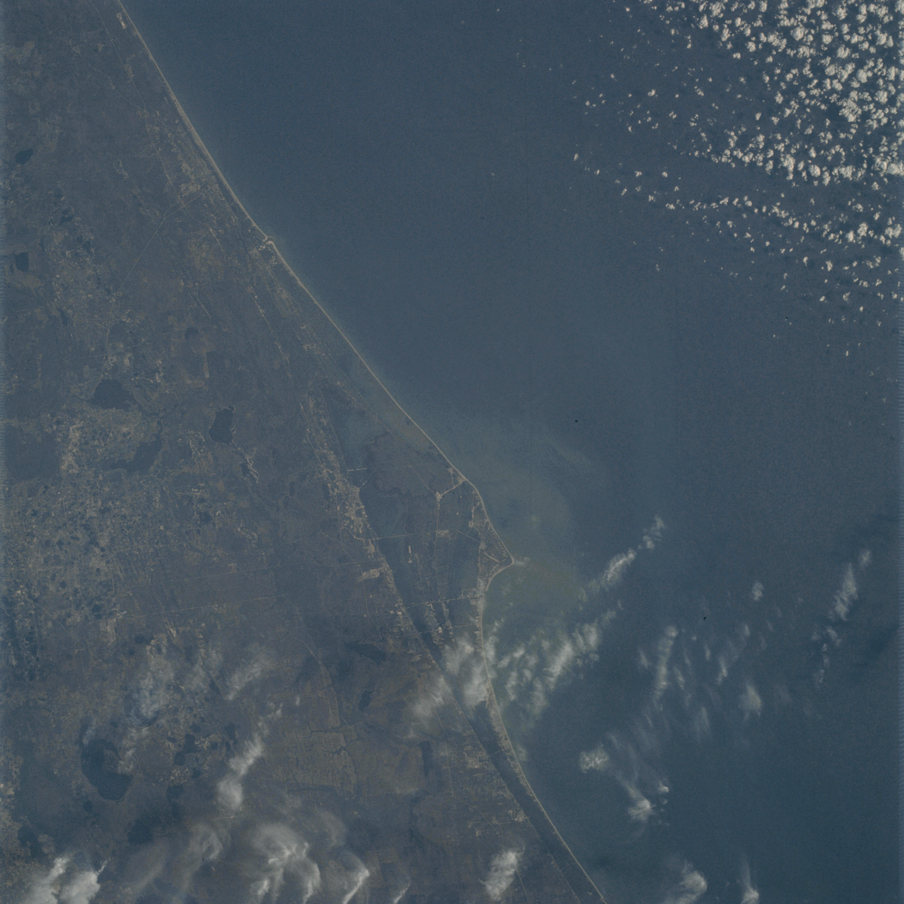 | AS09-23-3545 GEOGRAPHY/CARTOGRAPHY: Florida, Cape Kennedy, Regional Transportation Network. GEOLOGY/HYDROLOGY: Coastal plain. AGRICULTURE: Scattered intensive cultivation. FORESTRY: Mixed forest stands. METEOROLOGY: Cumulus, cirrus. OCEANOGRAPHY: Ocean depth variations. Image credit: Image Science and Analysis Laboratory, NASA-Johnson Space Center. |
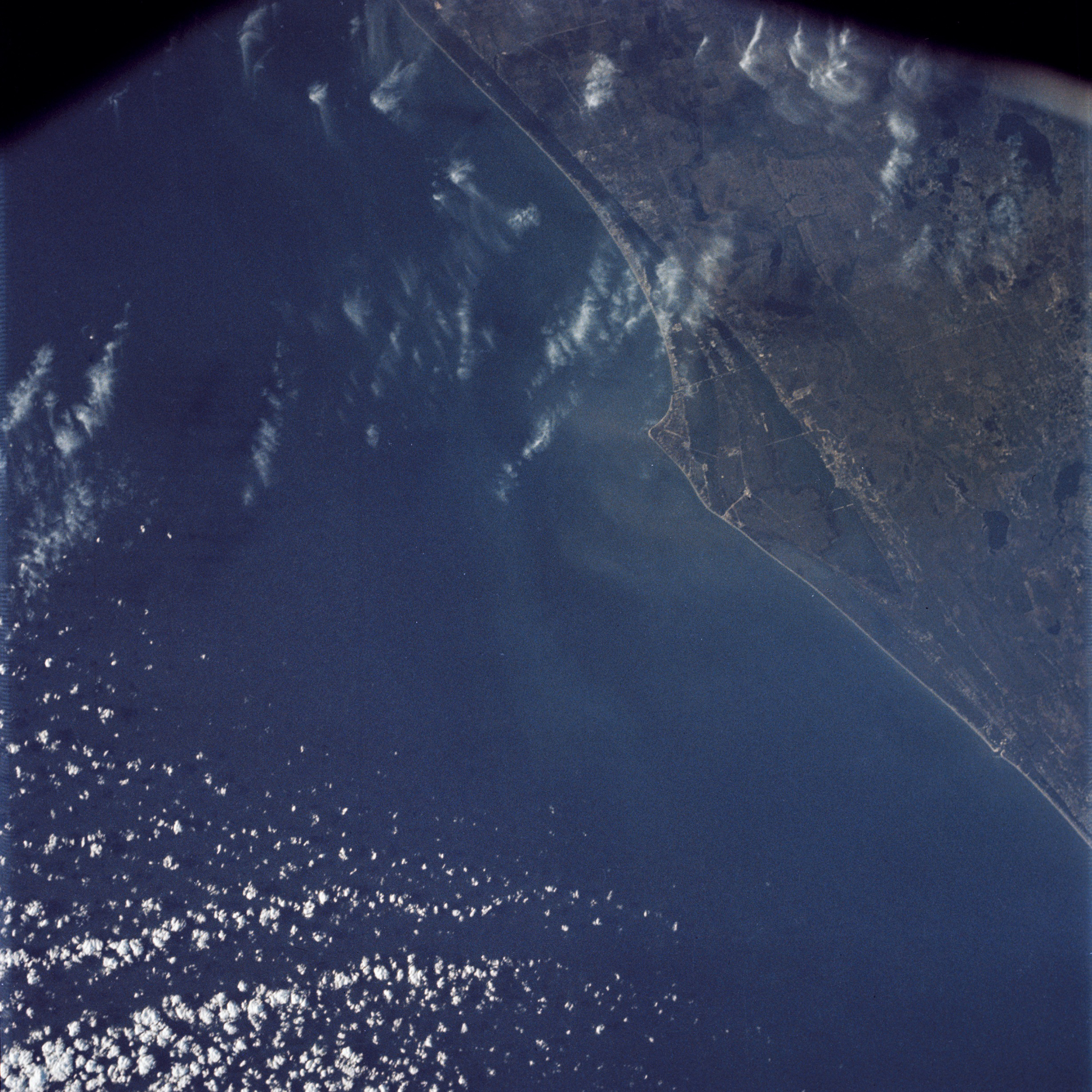 | AS09-23-3546 GEOGRAPHY/CARTOGRAPHY: Florida, Cape Kennedy, Regional Transportation Network. GEOLOGY/HYDROLOGY: Coastal plain. AGRICULTURE: Scattered cultivated areas. FORESTRY: Same mixed-forest stands. METEOROLOGY: Cumulus, cirrus. OCEANOGRAPHY: Ocean depth variations. Image credit: Image Science and Analysis Laboratory, NASA-Johnson Space Center. |
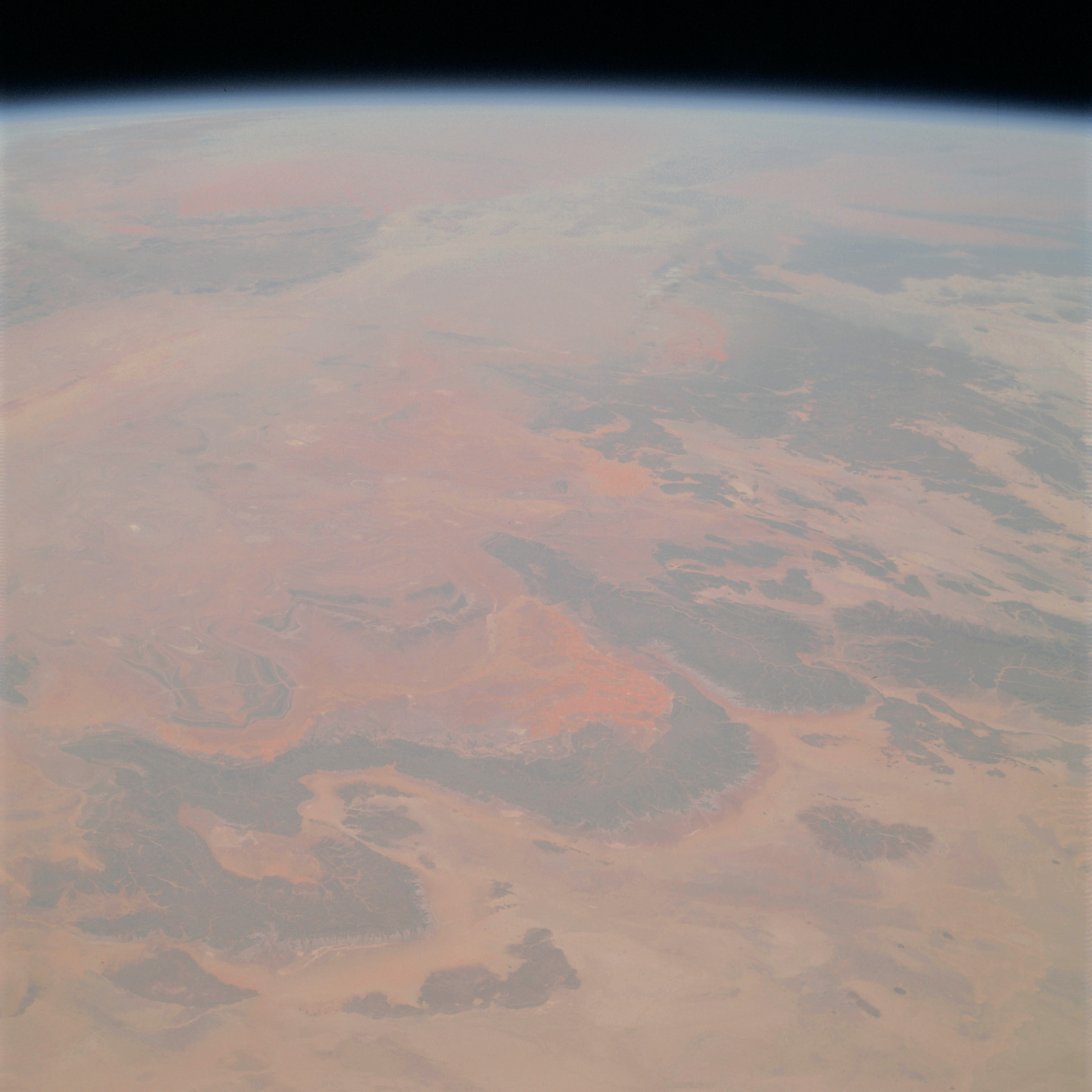 | AS09-23-3547 GEOGRAPHY/CARTOGRAPHY: Algeria, Sahara Desert. GEOLOGY/HYDROLOGY: Complex plateau. FORESTRY: Desert shrubform. Image credit: Image Science and Analysis Laboratory, NASA-Johnson Space Center. |
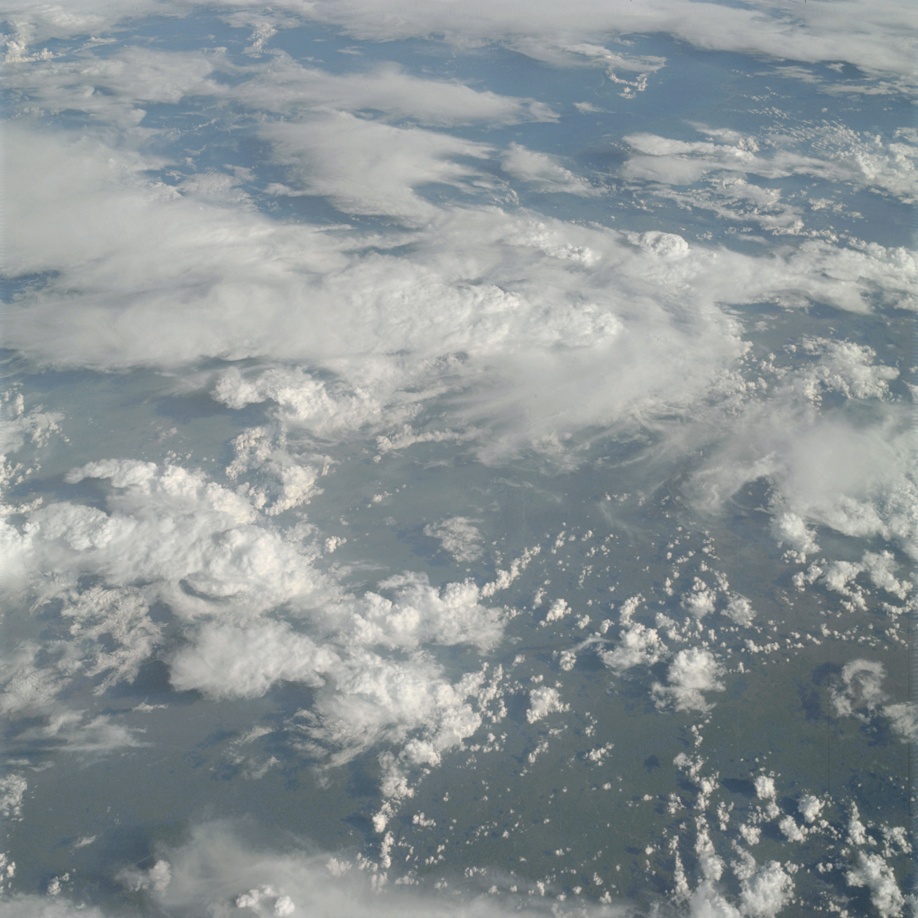 | AS09-23-3548 GEOGRAPHY/CARTOGRAPHY: (Orbit 120). METEOROLOGY: Cumulus, cumulo-nimbus, strato-cumulus, cirrus. Image credit: Image Science and Analysis Laboratory, NASA-Johnson Space Center. |
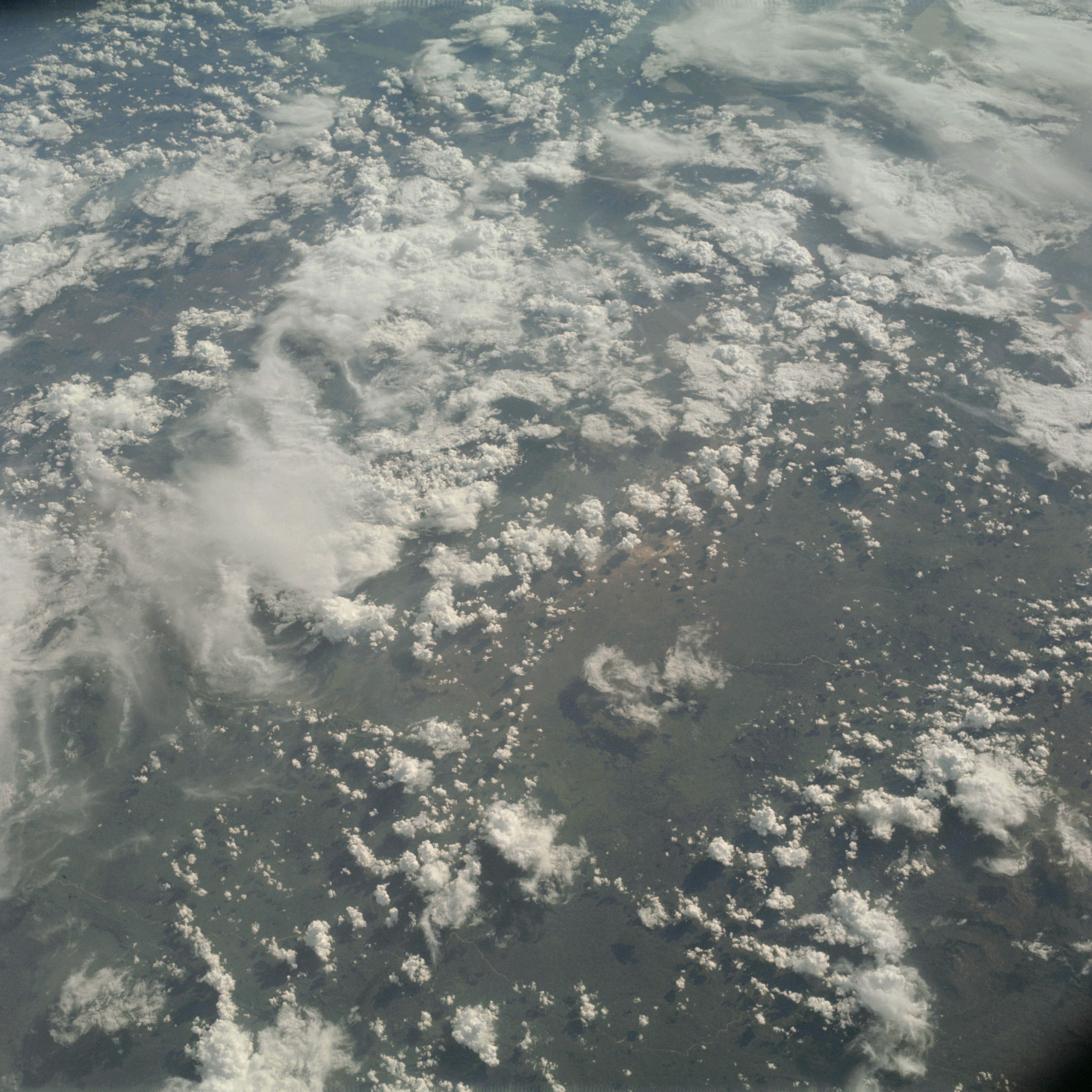 | AS09-23-3549 GEOGRAPHY/CARTOGRAPHY: (Orbit 120). METEOROLOGY: Cumulus, cumulo-nimbus, strato-cumulus, cirrus. Image credit: Image Science and Analysis Laboratory, NASA-Johnson Space Center. |
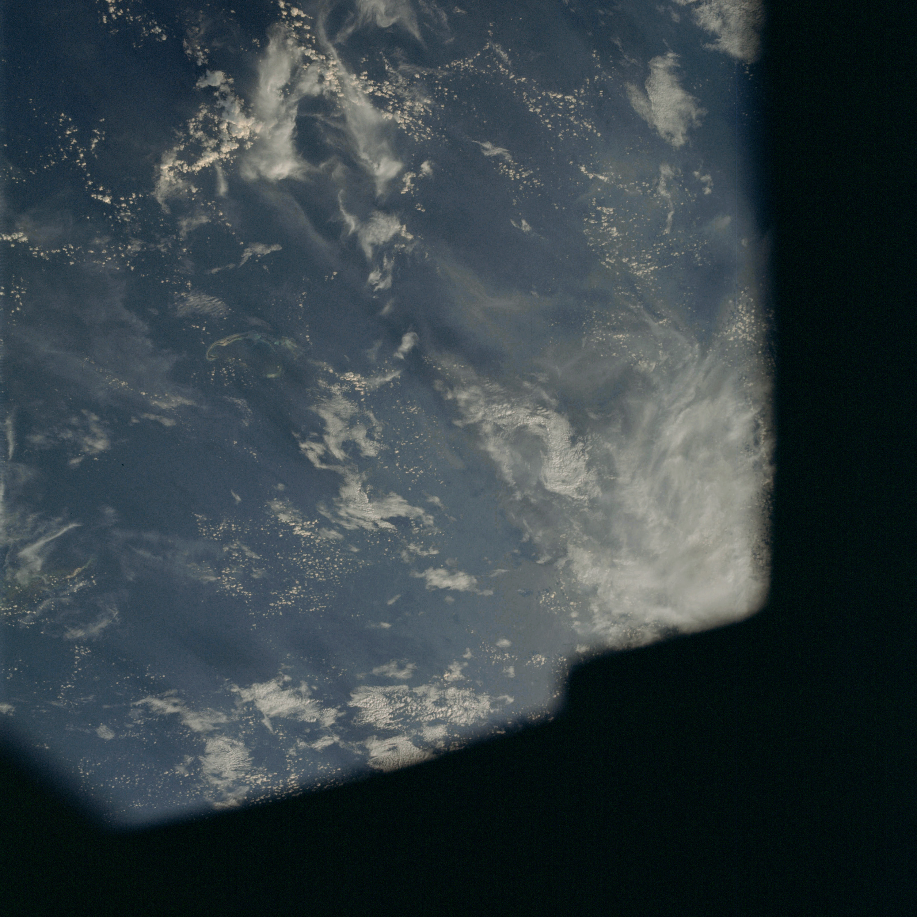 | AS09-23-3550 GEOGRAPHY/CARTOGRAPHY: (Orbit 120) METEOROLOGY: Cumulus, alto-cumulus, cirrus. Image credit: Image Science and Analysis Laboratory, NASA-Johnson Space Center. |
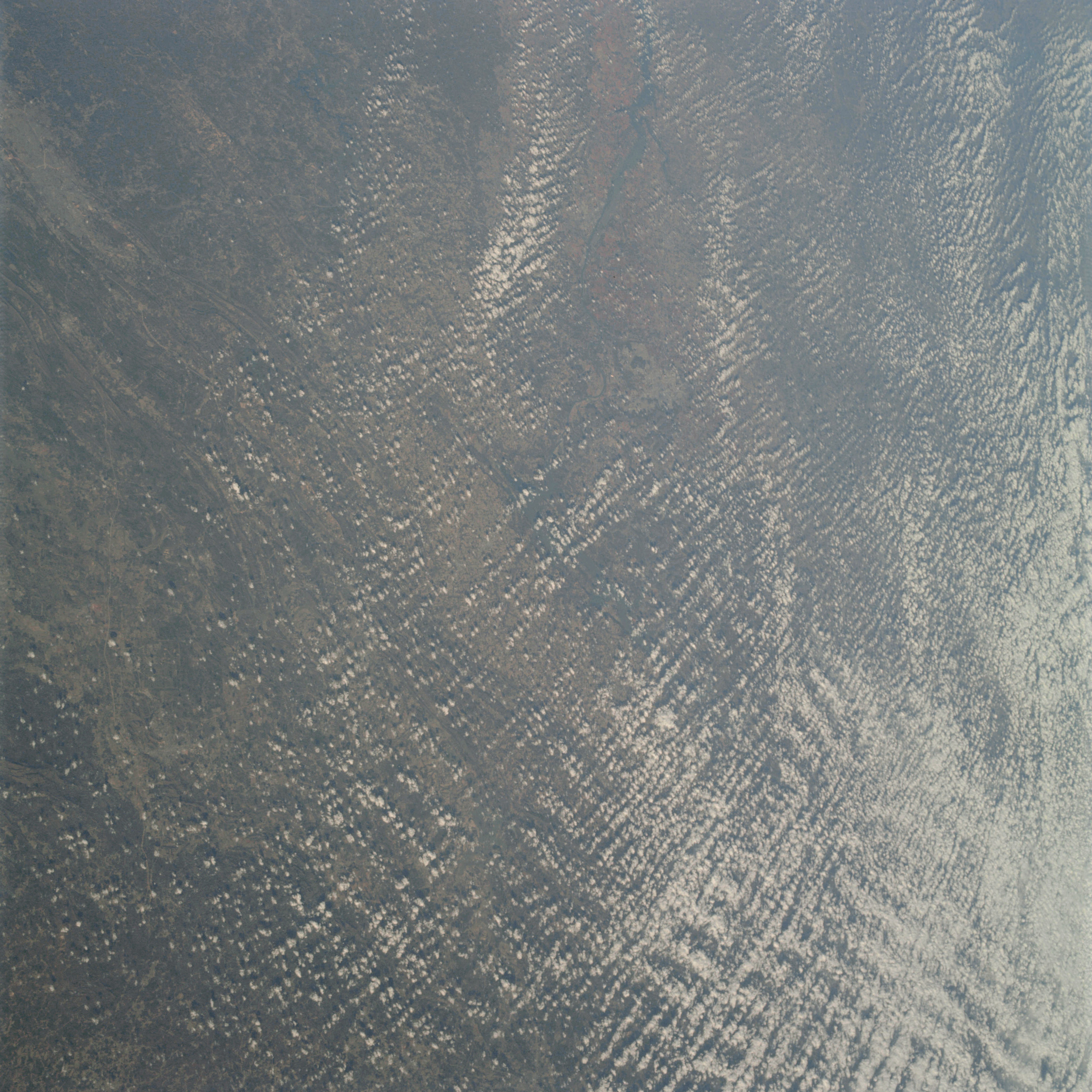 | AS09-23-3551 GEOGRAPHY/CARTOGRAPHY: Alabama, Birmingham, Gadsden, Decatur, Tennessee River. GEOLOGY/HYDROLOGY: Folded Appalachia, Ridge and Valley Region. AGRICULTURE: Scattered cultivated areas. FORESTRY: Extensive mixed-forest stands. METEOROLOGY: Cumulus. OCEANOGRAPHY: Alluvial deposits at the mouths of rivers. Some wave action. Image credit: Image Science and Analysis Laboratory, NASA-Johnson Space Center. |
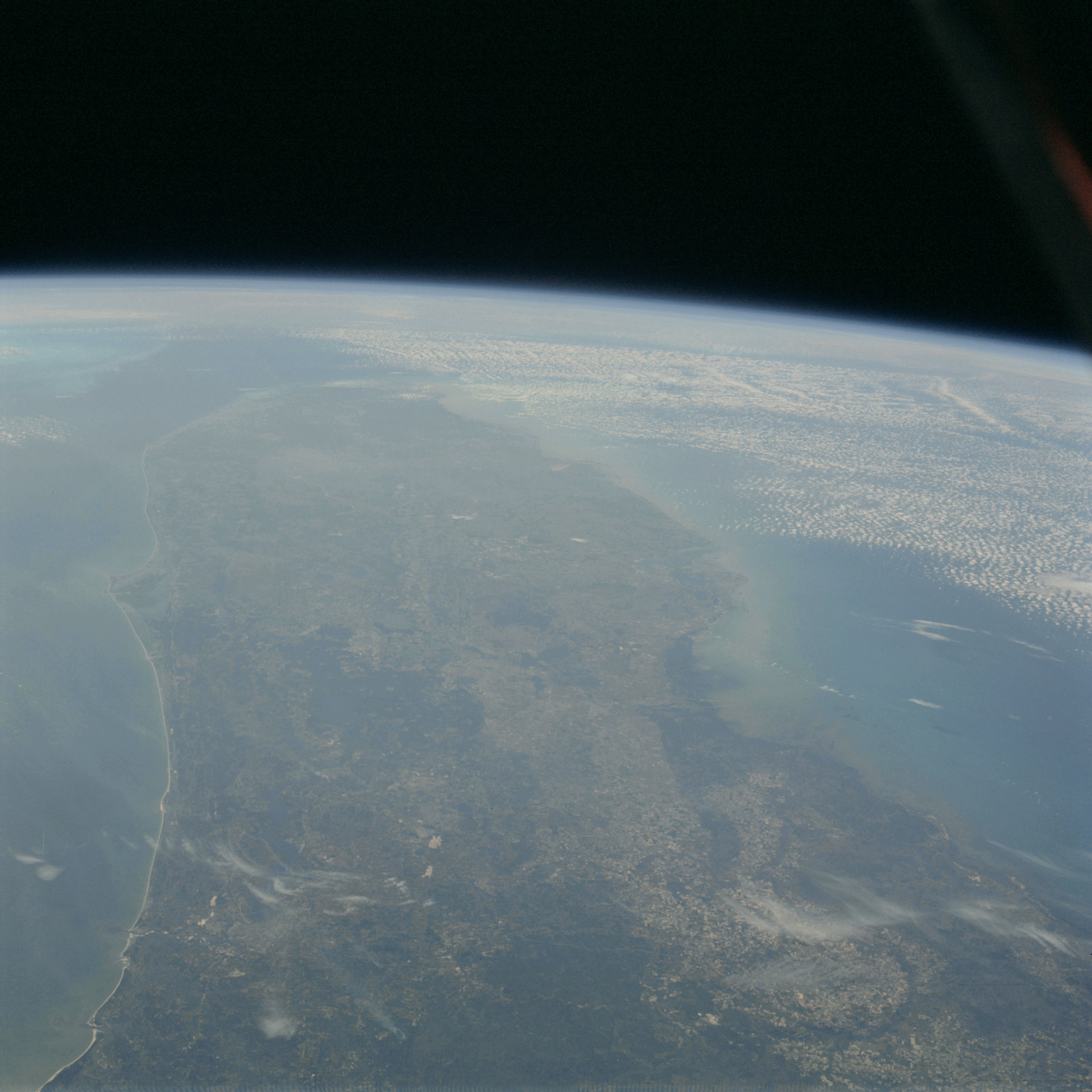 | AS09-23-3552 GEOGRAPHY/CARTOGRAPHY: Florida. GEOLOGY/HYDROLOGY: Coastal plain. AGRICULTURE: Extensive areas under cultivation. FORESTRY: Mixed forest-stands. METEOROLOGY: Cumulus. OCEANOGRAPHY: Ocean depth variations. Image credit: Image Science and Analysis Laboratory, NASA-Johnson Space Center. |
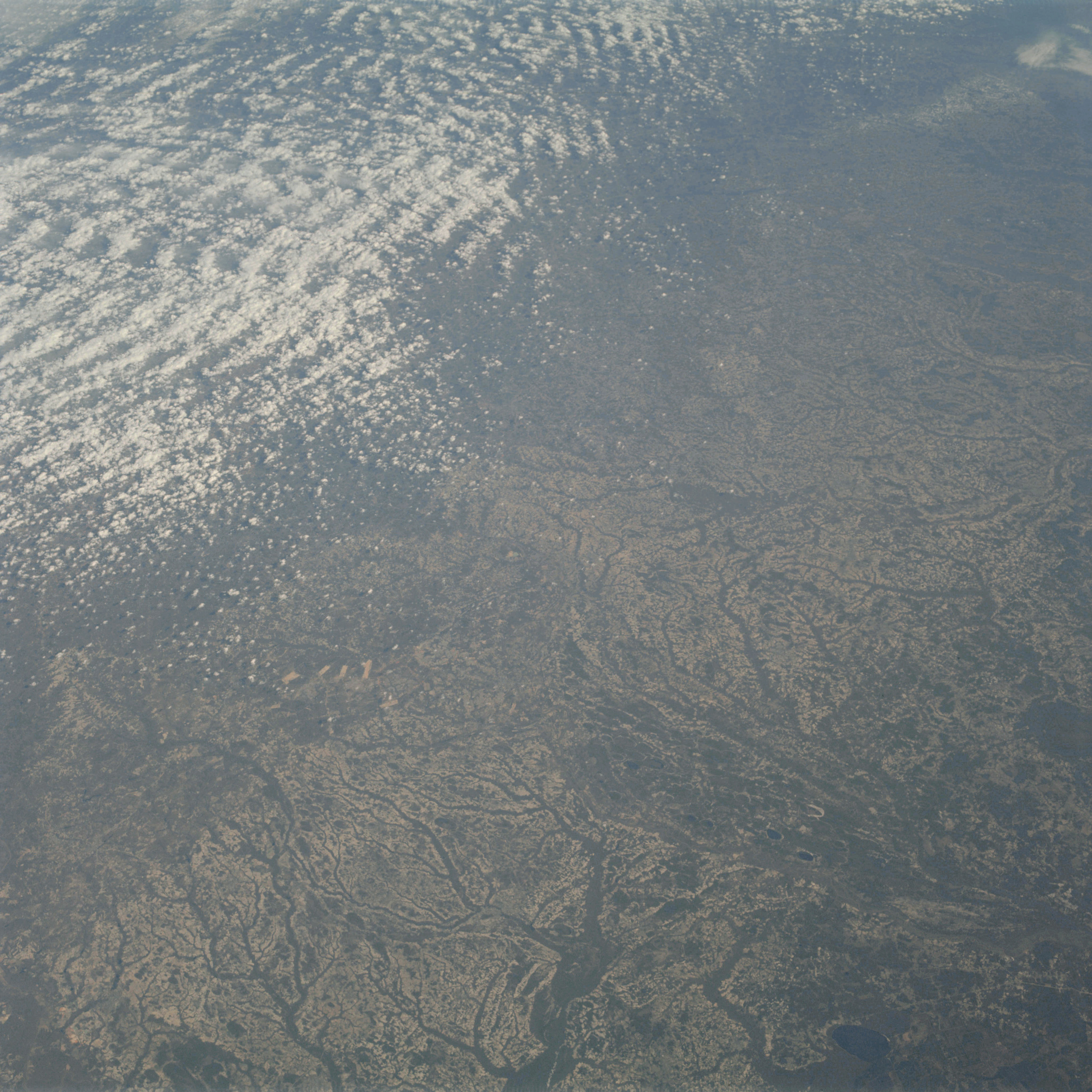 | AS09-23-3553 GEOGRAPHY/CARTOGRAPHY: East Coast of United States, North Carolina, Neuse River. GEOLOGY/HYDROLOGY: Coastal plain. FORESTRY: Mixed-forest stands. METEOROLOGY: Cumulus. Image credit: Image Science and Analysis Laboratory, NASA-Johnson Space Center. |
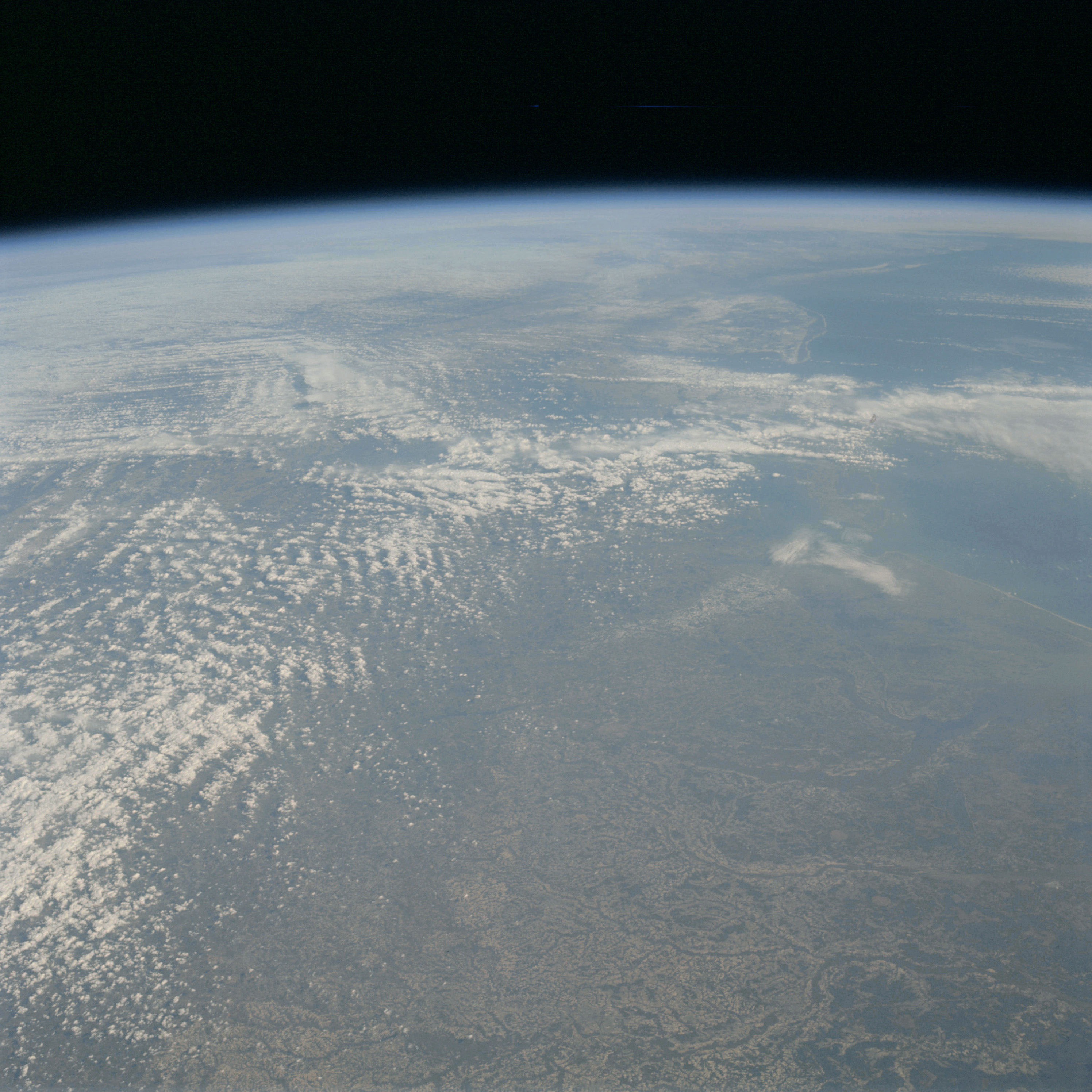 | AS09-23-3554 GEOGRAPHY/CARTOGRAPHY: East coast of United States, Virginia, North Carolina, Newport News, Portsmouth. GEOLOGY/HYDROLOGY: Coastal plain. FORESTRY: Mixed forest stands. METEOROLOGY: Cumulus. Image credit: Image Science and Analysis Laboratory, NASA-Johnson Space Center. |
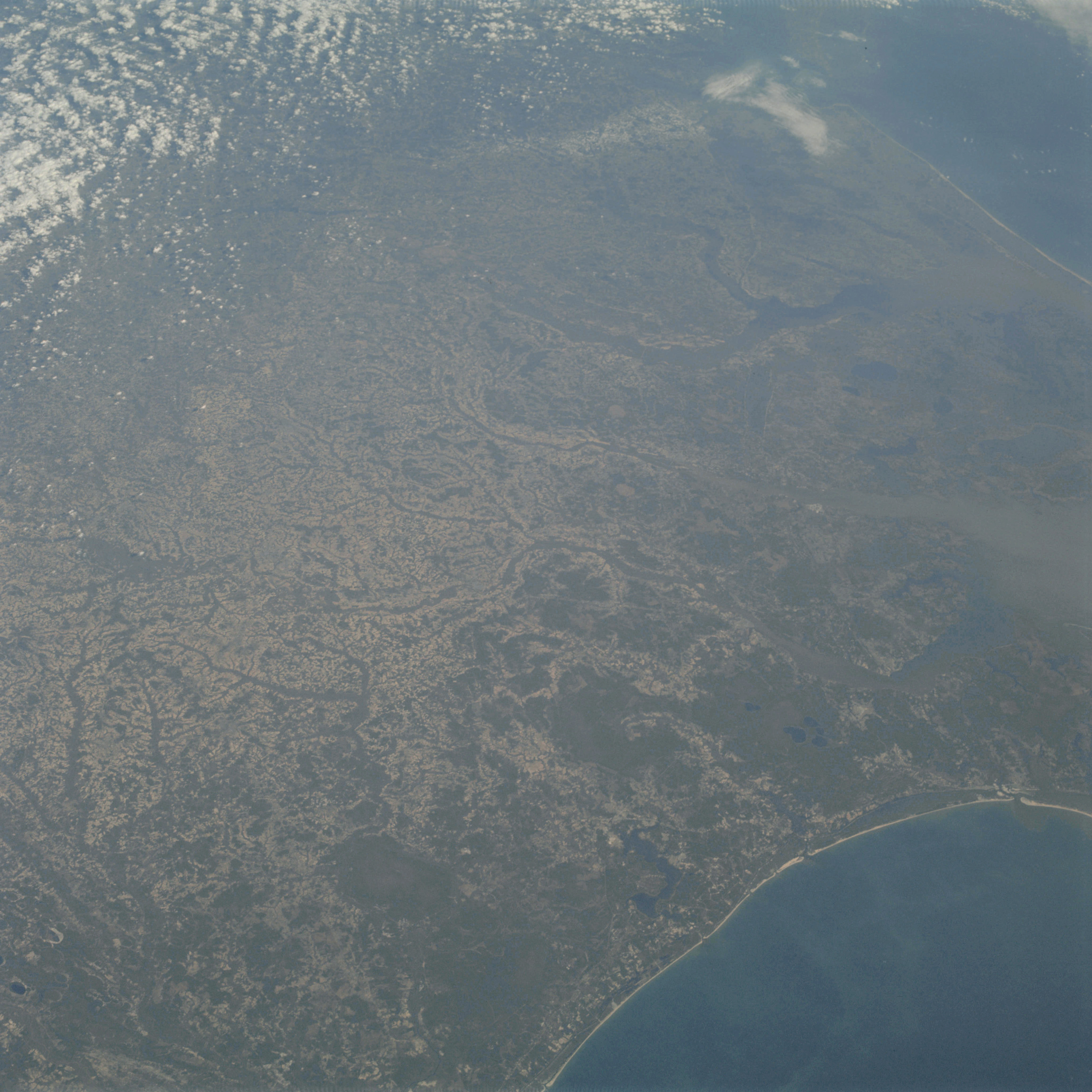 | AS09-23-3555 GEOGRAPHY/ CARTOGRAPHY: East Coast of United States, Jacksonville, Pamlico and Neuse River. GEOLOGY/HYDROLOGY: Coastal plain. AGRICULTURE: Scattered cultivated areas. FORESTRY: Mixed-forest stands. METEOROLOGY: Cumulus. OCEANOGRAPHY: Wave action, ocean depth variations. Image credit: Image Science and Analysis Laboratory, NASA-Johnson Space Center. |
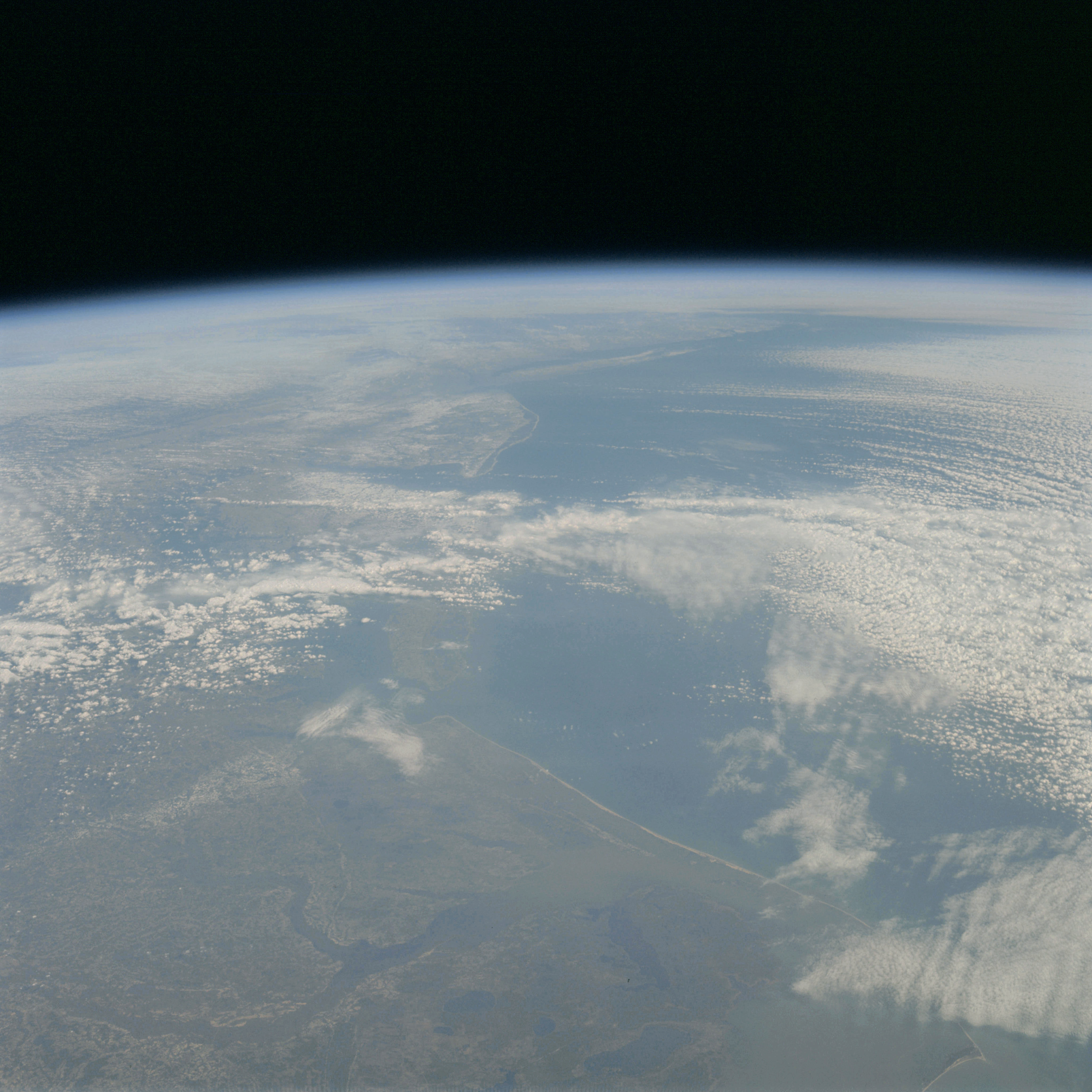 | AS09-23-3556 GEOGRAPHY/CARTOGRAPHY: East Coast of United States from Atlantic City, New Jersey to Cape Hatteras, North Carolina and Pamlico Sound. GEOLOGY/HYDROLOGY: Coastal plain. FORESTRY: Mixed-forest stands. METEOROLOGY: Cumulus, alto-cumulus, cirrus. Image credit: Image Science and Analysis Laboratory, NASA-Johnson Space Center. |
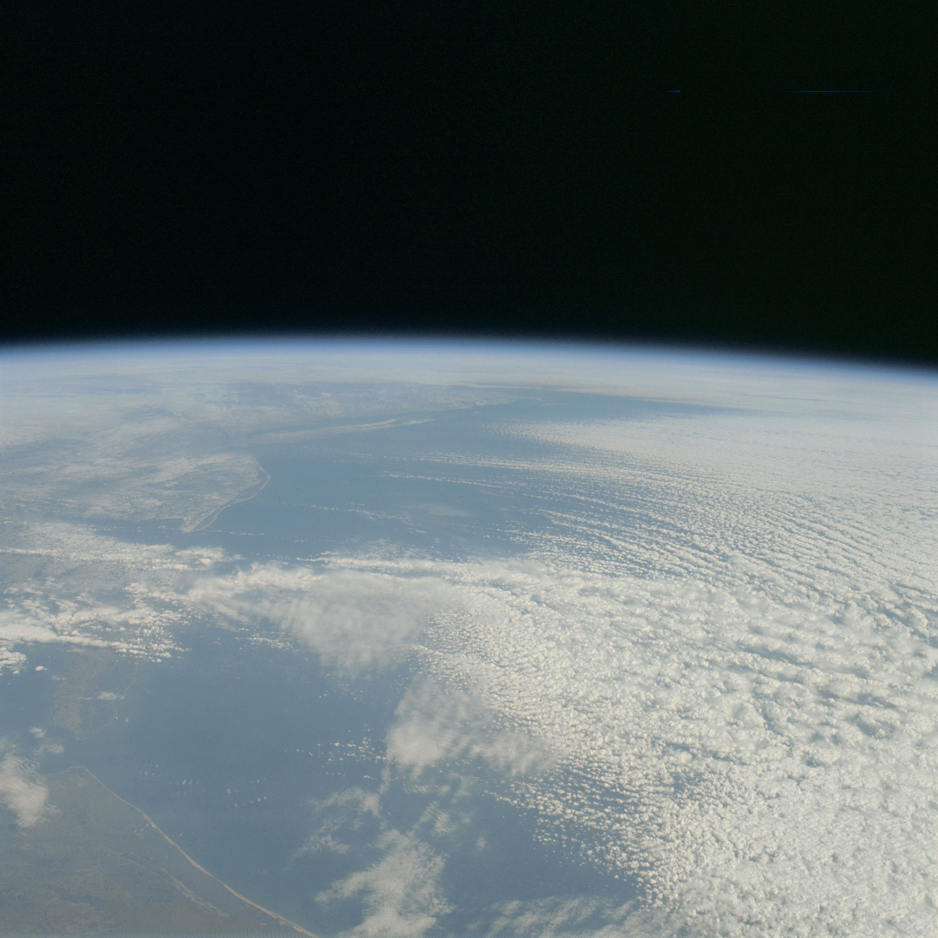 | AS09-23-3557 GEOGRAPHY/CARTOGRAPHY: East Coast of United States from Atlantic City, New Jersey to Rodanthe, North Carolina, and Pamlico Sound GEOLOGY/HYDROLOGY: Coastal plain. FORESTRY: Mixed-forest stands. METEOROLOGY: Cumulus, alto-cumulus, cirrus. Image credit: Image Science and Analysis Laboratory, NASA-Johnson Space Center. |
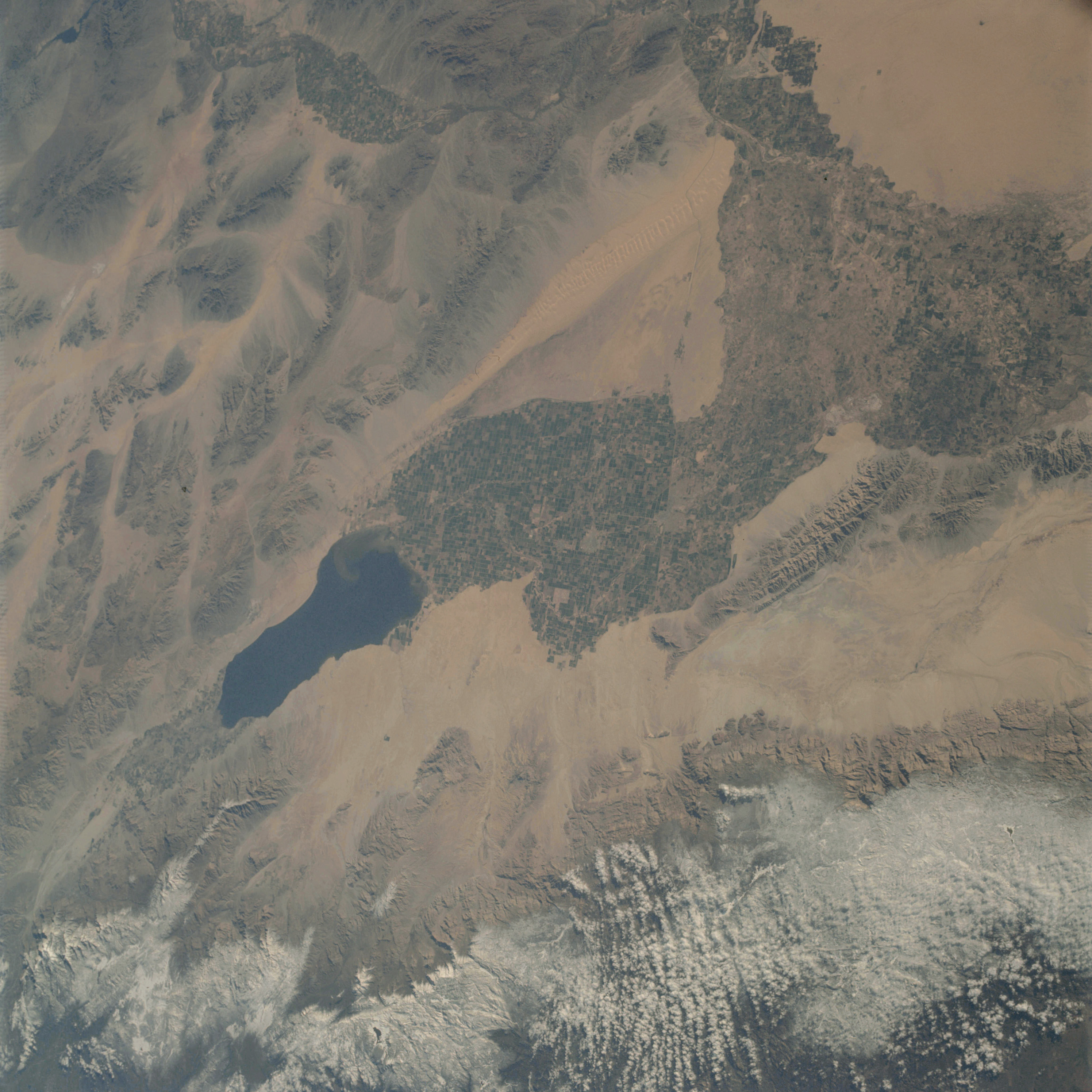 | AS09-23-3558 GEOGRAPHY/CARTOGRAPHY: California, Salton Sea, Imperial Valley, Chocolate and Santa Rosa Mountains, Calexico, Yuma and El Centro. GEOLOGY/HYDROLOGY: Complex mountains and basin and Range Province of alluvial and complex structures. AGRICULTURE: Heavy cultivation, large area of definable field patterns. FORESTRY: Scattered desert shrubform. METEOROLOGY: Alto-cumulus, snow cover in high mountain areas. Image credit: Image Science and Analysis Laboratory, NASA-Johnson Space Center. |
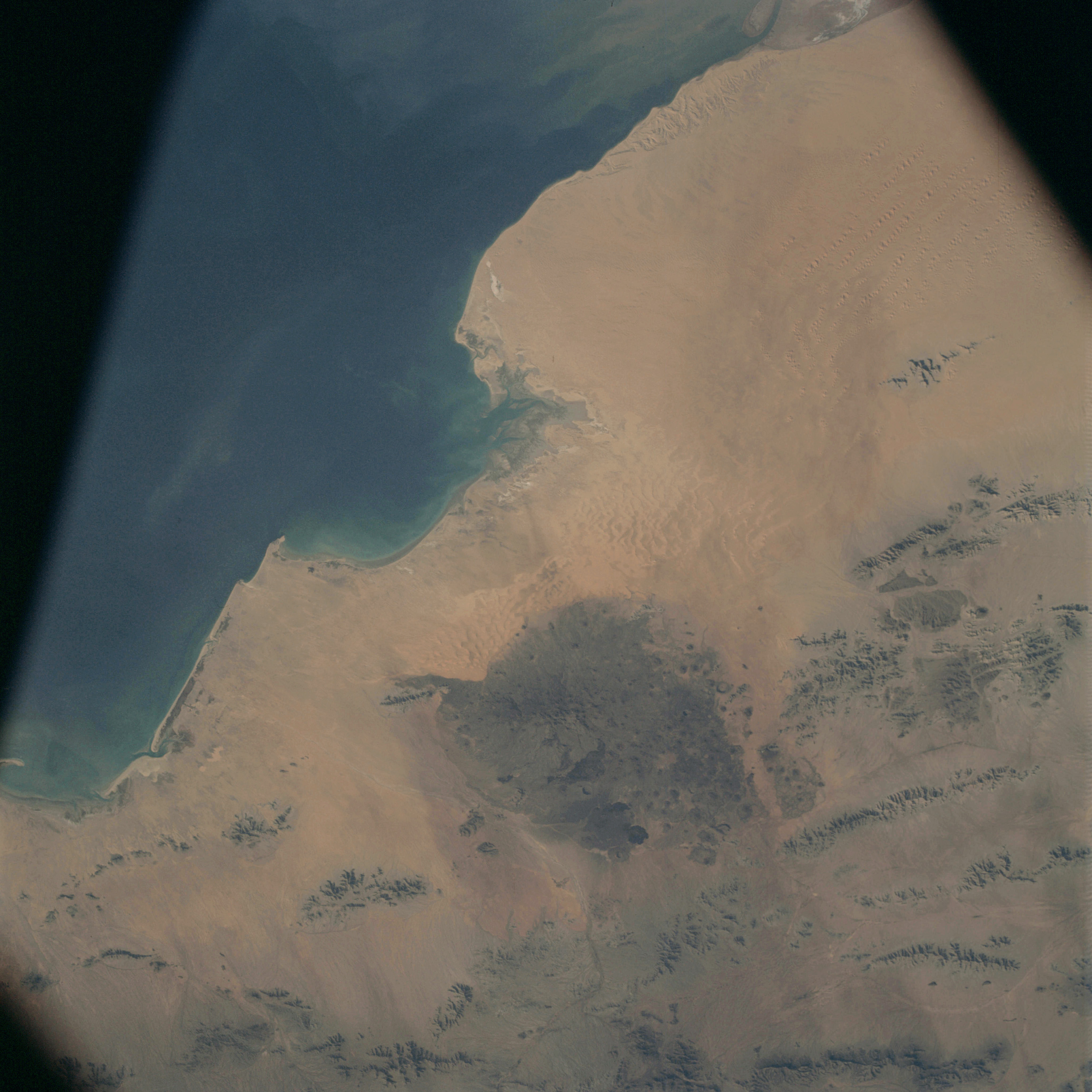 | AS09-23-3559 GEOGRAPHY/CARTOGRAPHY: Gulf of California, Bahia de Aduar. GEOLOGY/HYDROLOGY: Complex mountains and dissected plateau. Region of tertiary volcanic and alluvial deposits. FORESTRY: Scattered desert shrubform. OCEANOGRAPHY: Sediment movement along the coast, ocean depth variations. Image credit: Image Science and Analysis Laboratory, NASA-Johnson Space Center. |
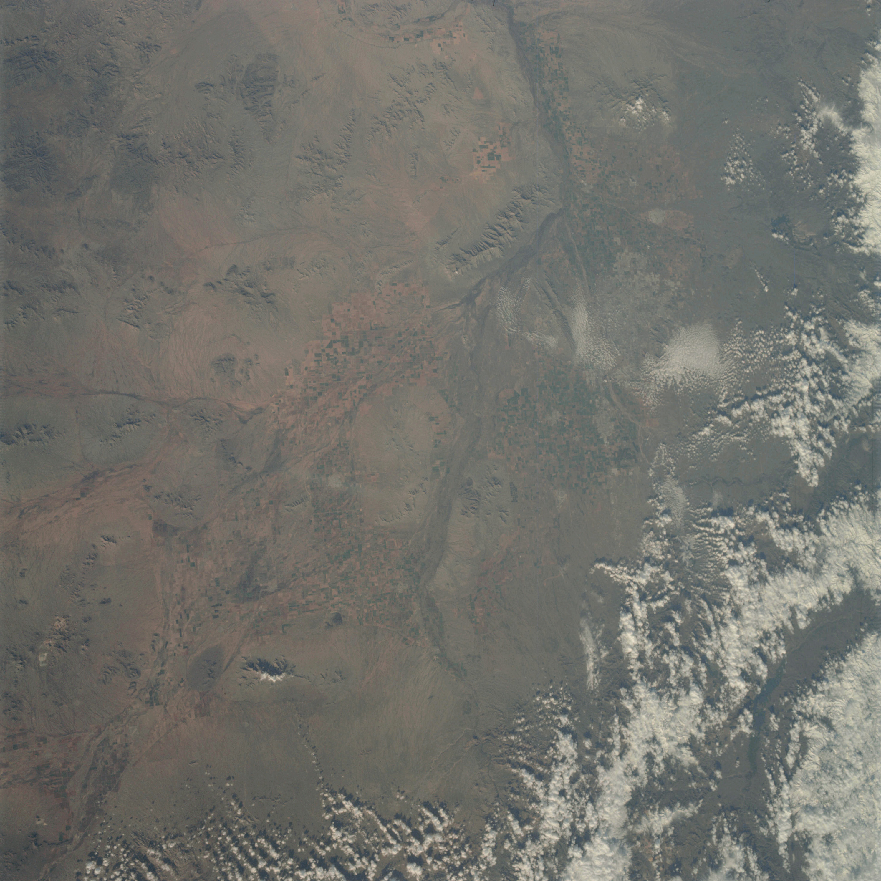 | AS09-23-3560 GEOGRAPHY/CARTOGRAPHY: Arizona, Phoenix, Temple, Gila River. GEOLOGY/ HYDROLOGY: Volcanic and complex mountain ranges and quaternary alluvial deposits. AGRICULTURE: Intensive irrigated cultivation. FORESTRY: Scattered and sparse desert shrubform and coniferous stands on higher elevations. Image credit: Image Science and Analysis Laboratory, NASA-Johnson Space Center. |
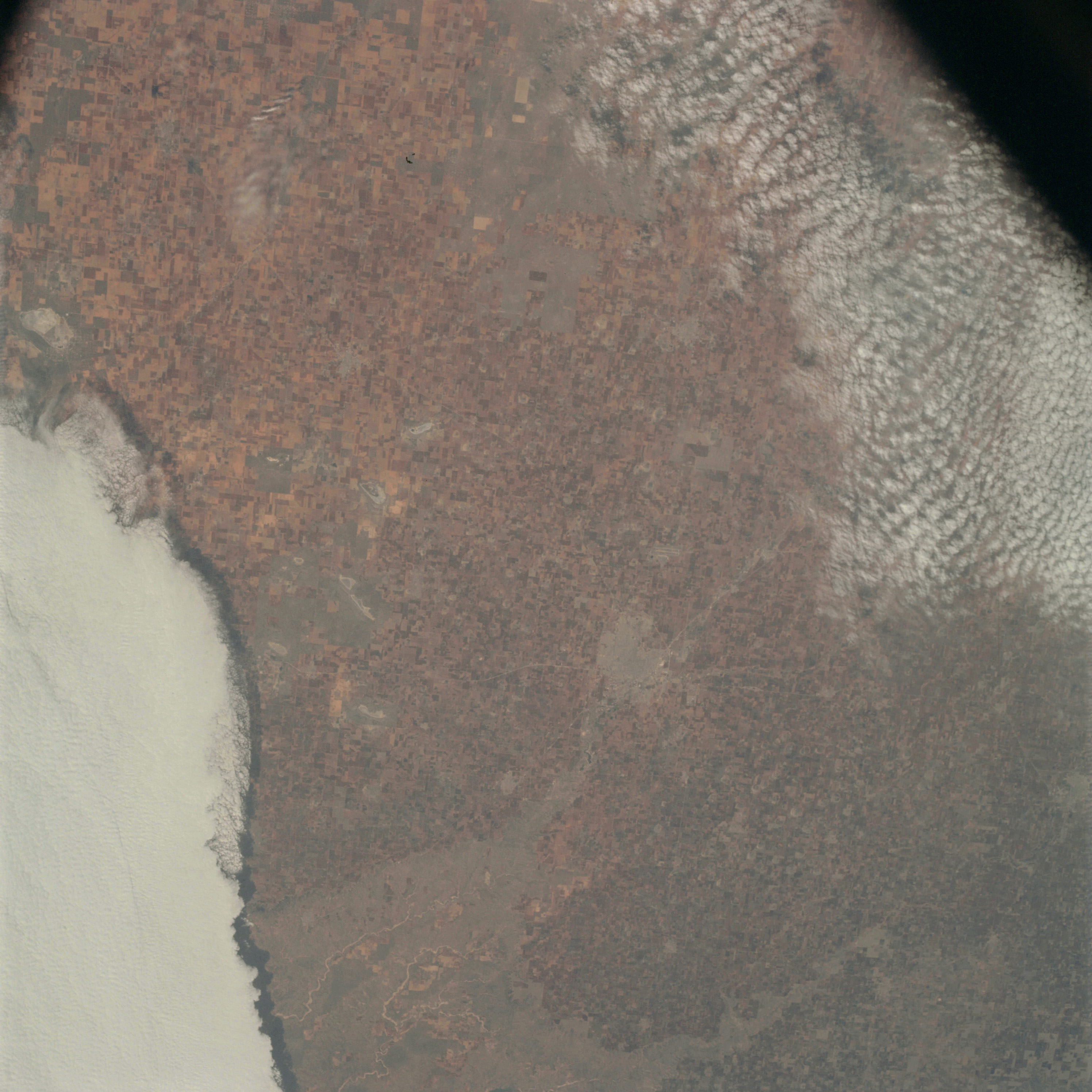 | AS09-23-3561 GEOGRAPHY/CARTOGRAPHY: Texas, Lubbock, Brownfield. GEOLOGY/HYDROLOGY: Sedimentary plain. AGRICULTURE: Very intensive cultivation. Field pattern clearly discernible. METEOROLOGY: Cumulus, alto-cumulus, strato-cumulus. Image credit: Image Science and Analysis Laboratory, NASA-Johnson Space Center. |
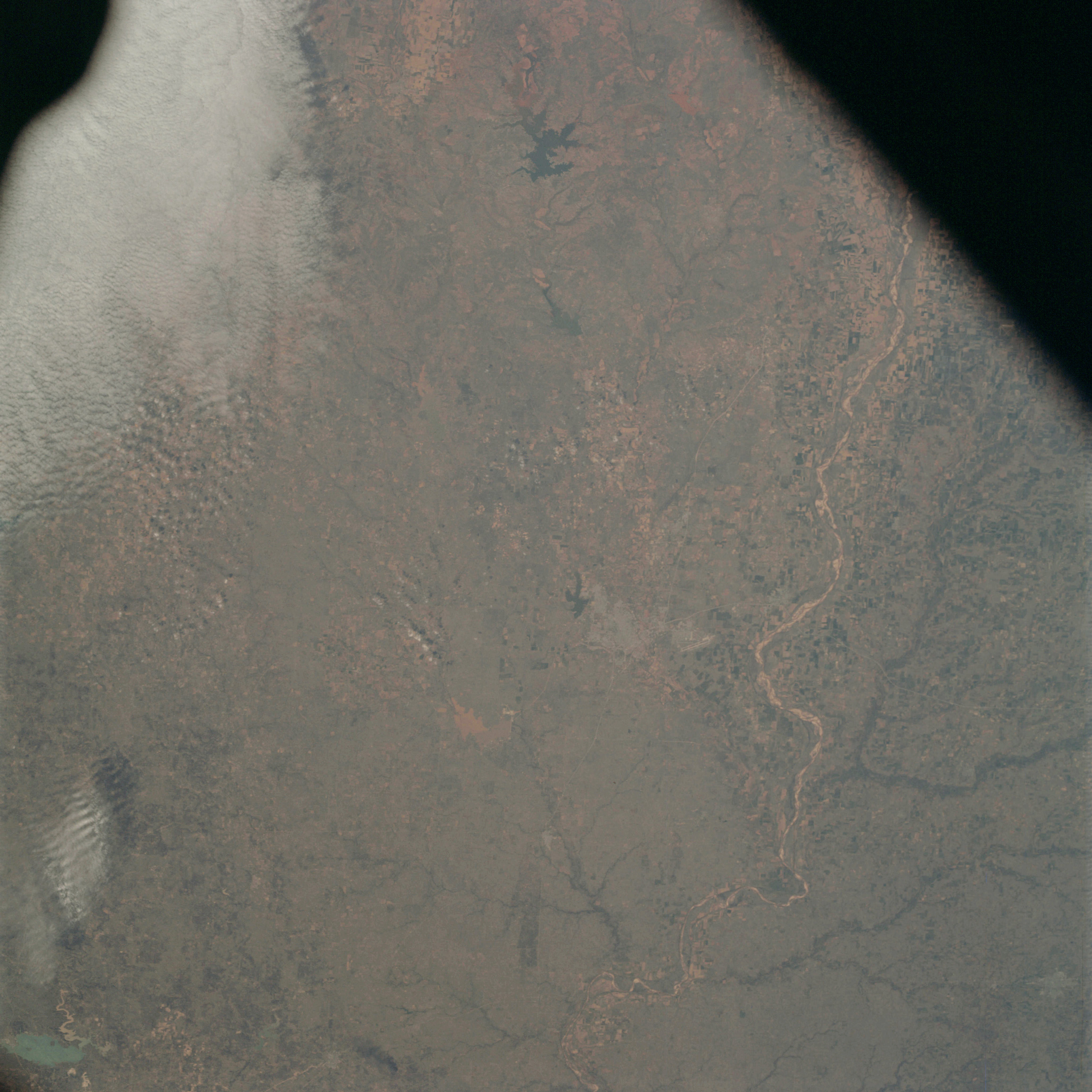 | AS09-23-3562 GEOGRAPHY/CARTOGRAPHY: Texas, Oklahoma, Wichita Falls, Red River and Lake Kemp. GEOLOGY/HYDROLOGY: Sedimentary plain. AGRICULTURE: Intensive cultivation. FORESTRY: Forest stands along the streams. METEOROLOGY: Cumulus, alto-cumulus. Image credit: Image Science and Analysis Laboratory, NASA-Johnson Space Center. |
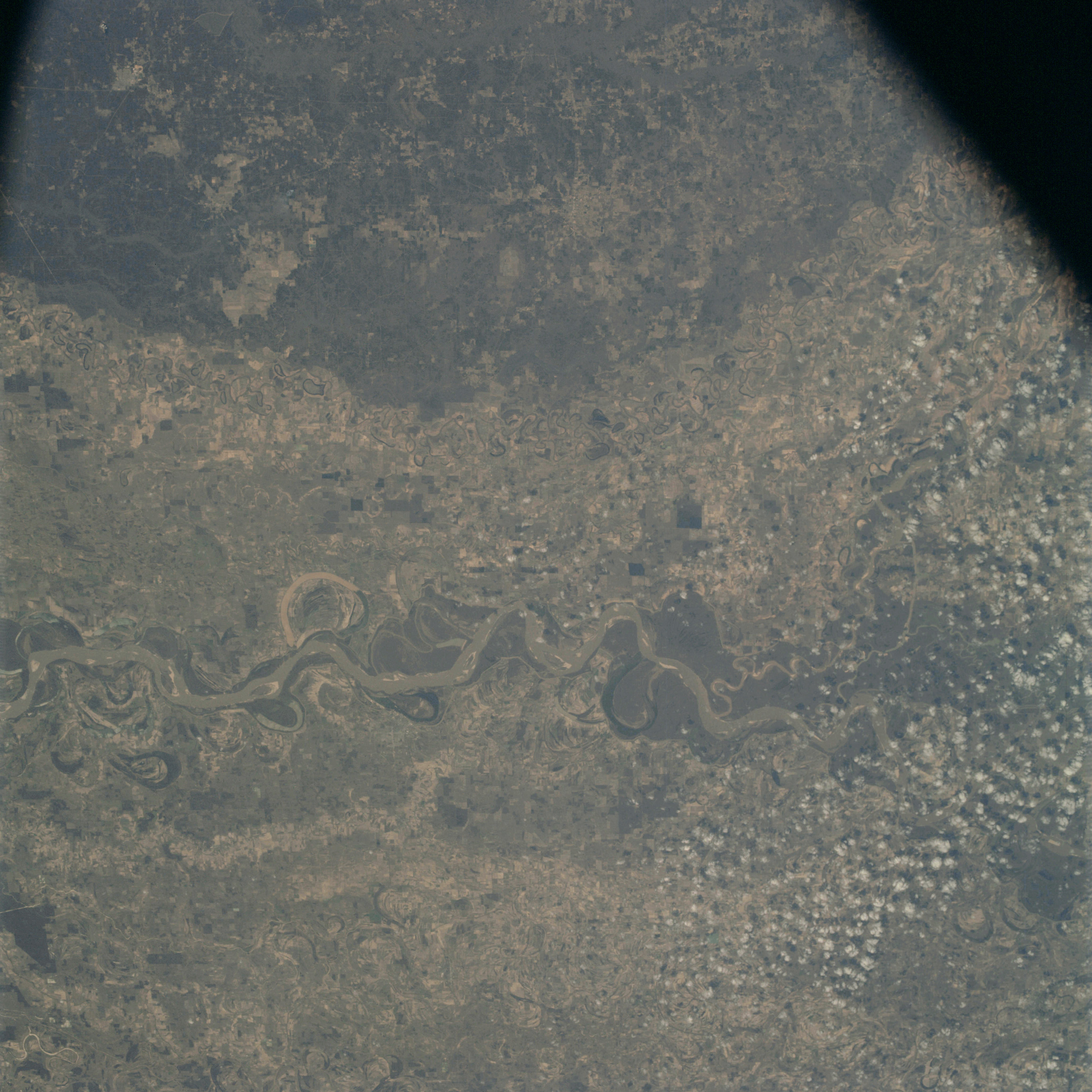 | AS09-23-3563 GEOGRAPHY/CARTOGRAPHY: Arkansas, Mississippi, Cleveland, Greenville and Mississippi River. GEOLOGY/HYDROLOGY: Alluvial flood plain, Meander belts. AGRICULTURE: Cultivated areas. FORESTRY: Mixed-forest stands. METEOROLOGY: Small cumulus. Image credit: Image Science and Analysis Laboratory, NASA-Johnson Space Center. |
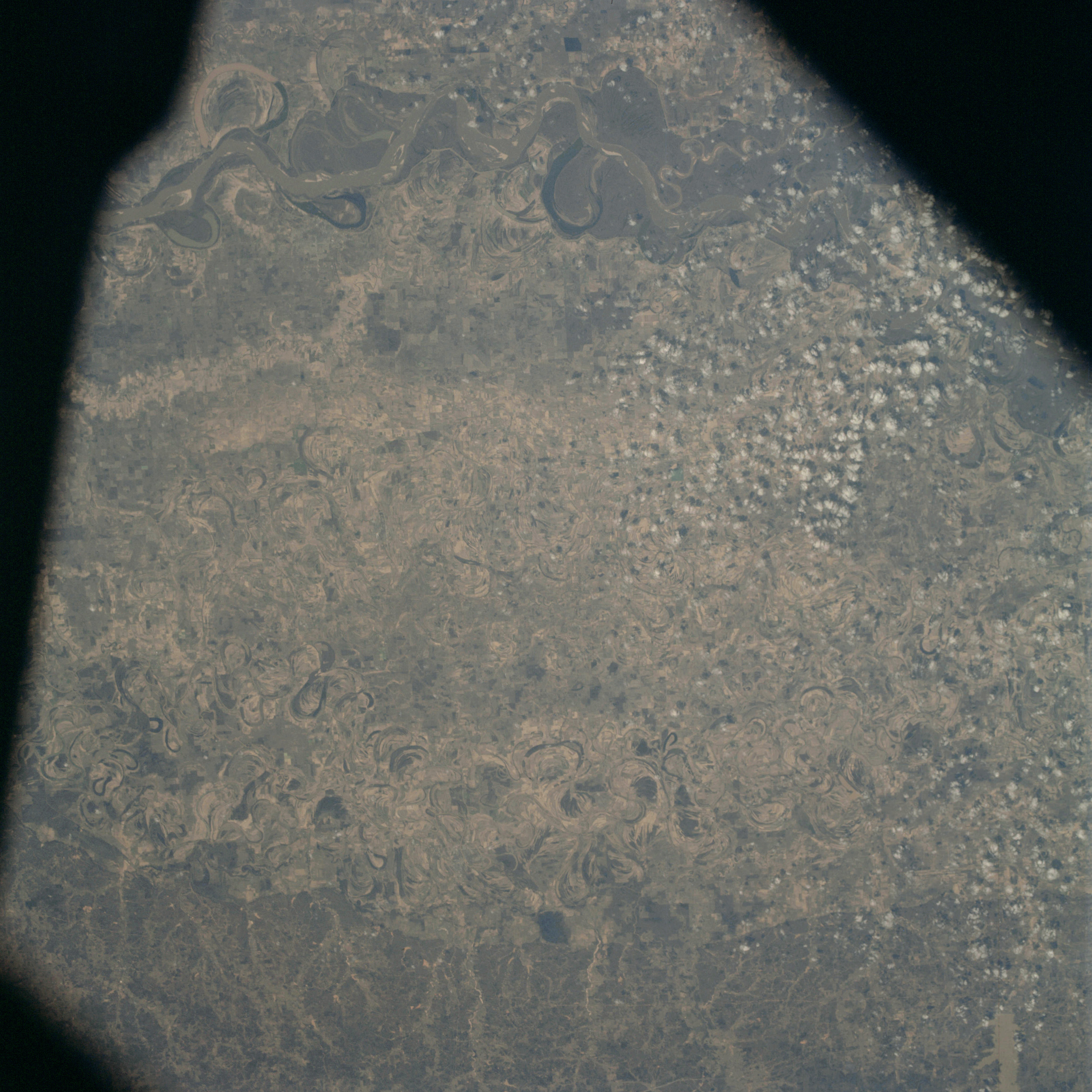 | AS09-23-3564 GEOGRAPHY/CARTOGRAPHY: Arkansas, Mississippi, Cleveland, Greenville, Arkansas and Mississippi Rivers. GEOLOGY/HYDROLOGY: Alluvial flood-plain. Meander belts. AGRICULTURE: Extensive cultivated areas. FORESTRY: Mixed-forest stands. METEOROLOGY: Small cumulus. Image credit: Image Science and Analysis Laboratory, NASA-Johnson Space Center. |
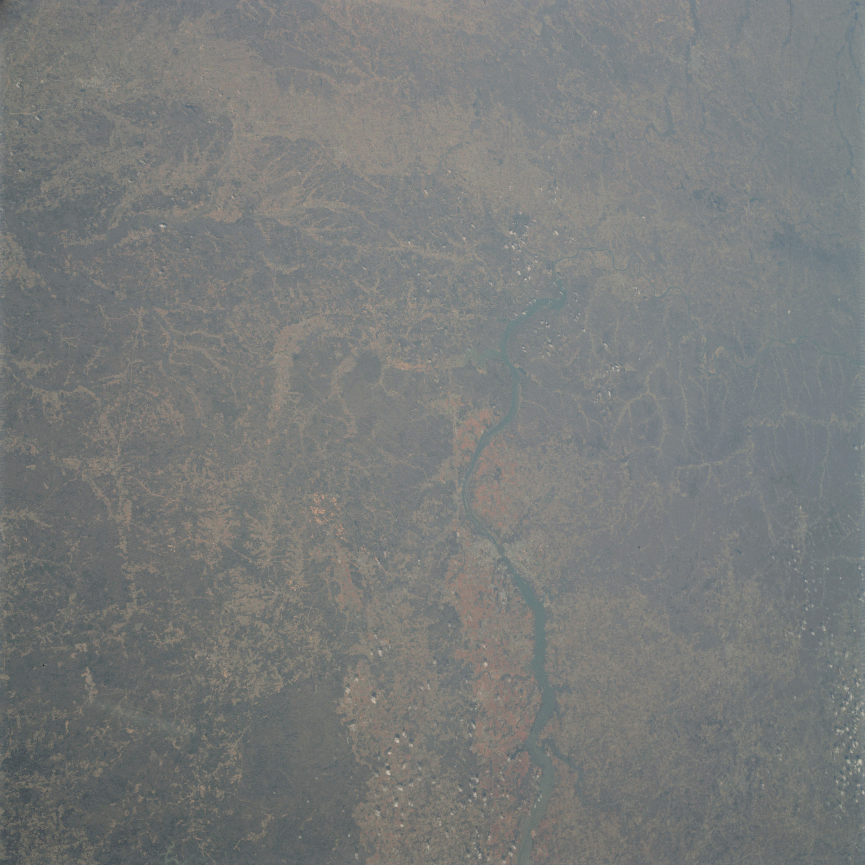 | AS09-23-3565 GEOGRAPHY/CARTOGRAPHY: Alabama, Tennessee, Mississippi. GEOLOGY/HYDROLOGY: Sedimentary plain. AGRICULTURE: Cultivated areas. FORESTRY: Mixed-forest stands. METEOROLOGY: Small cumulus. Image credit: Image Science and Analysis Laboratory, NASA-Johnson Space Center. |
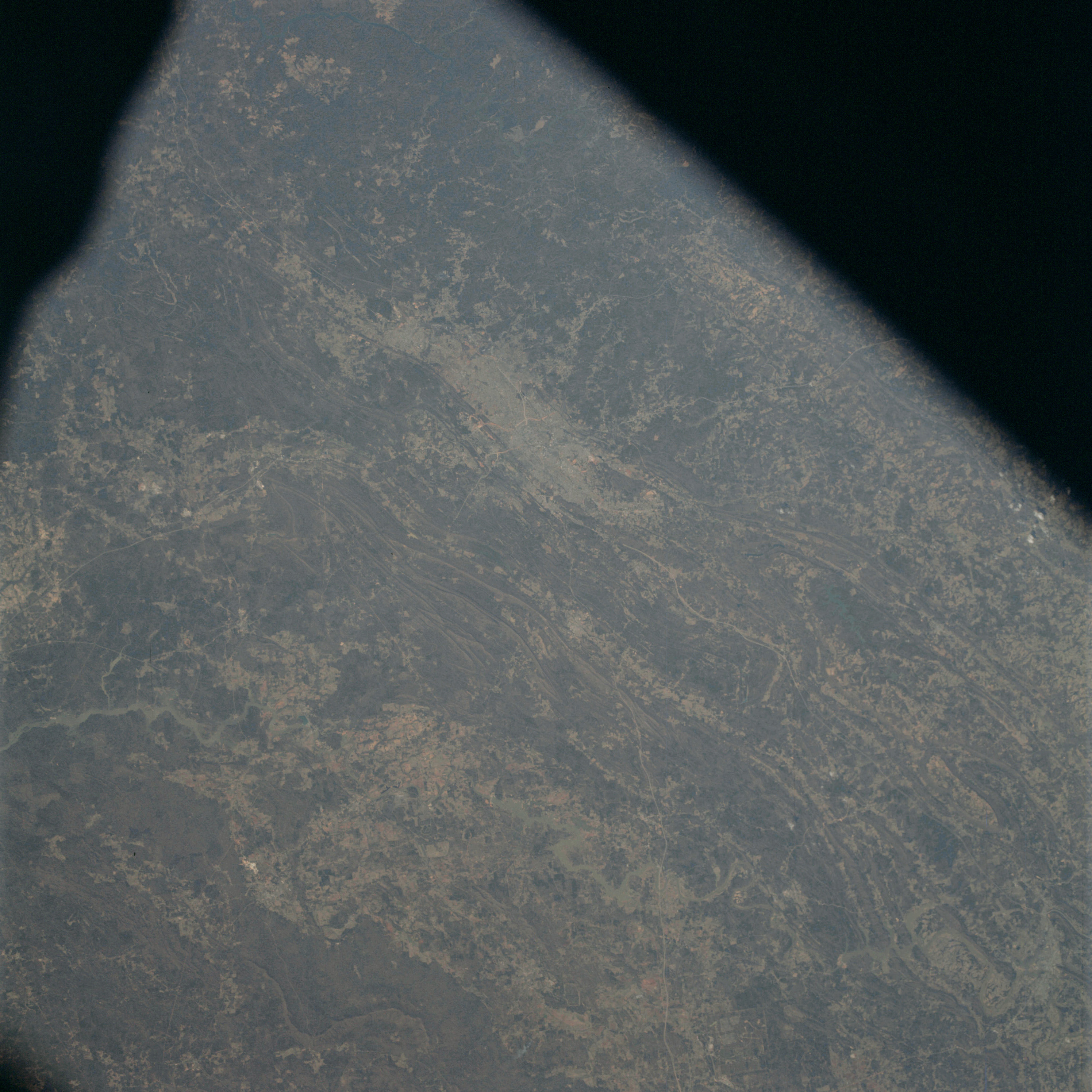 | AS09-23-3566 GEOGRAPHY/CARTOGRAPHY: Alabama, Birmingham. GEOLOGY/HYDROLOGY: Folded Appalachia. AGRICULTURE: Scattered intensive cultivation. FORESTRY: Mixed-forest stands. METEOROLOGY: Small scattered cumulus. Image credit: Image Science and Analysis Laboratory, NASA-Johnson Space Center. |
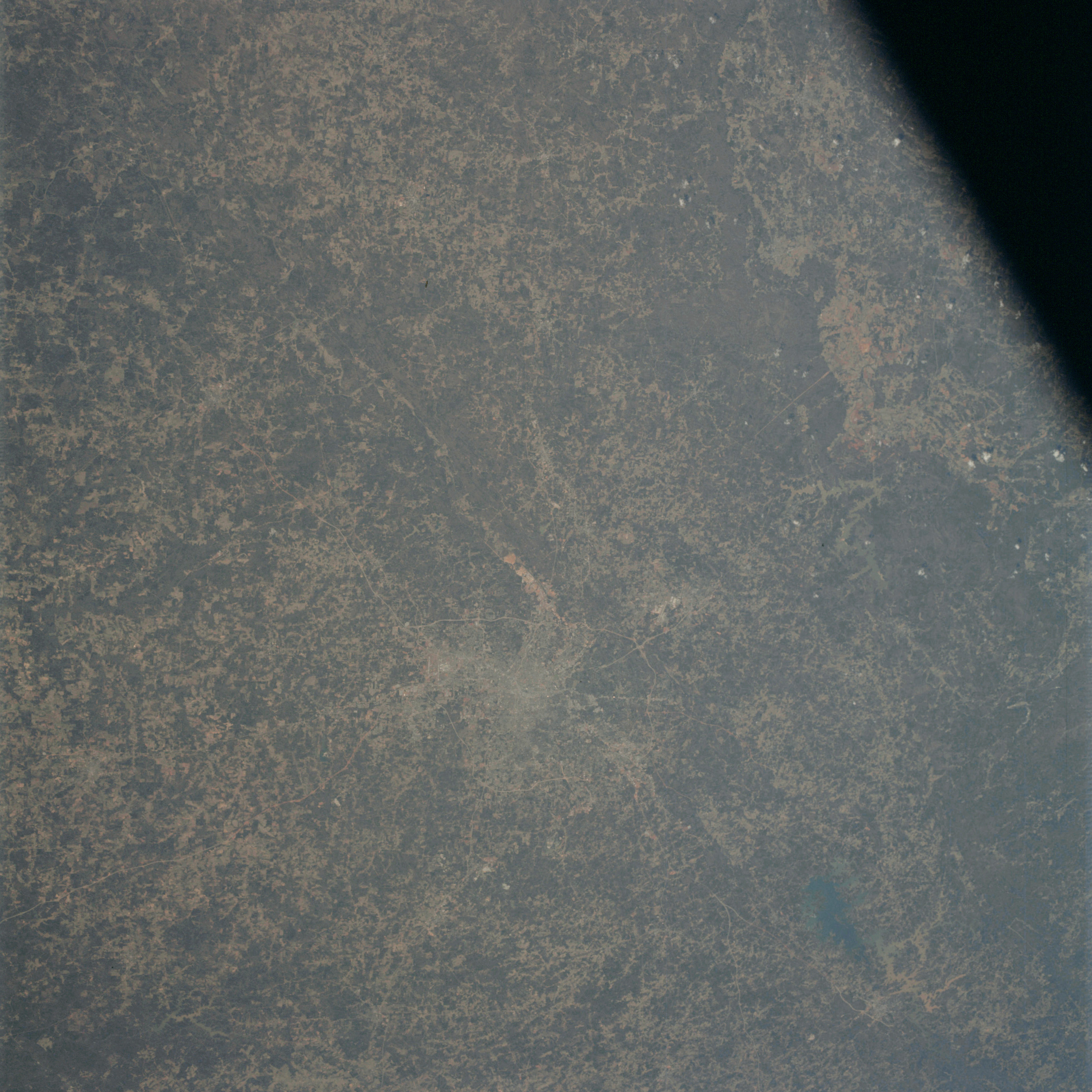 | AS09-23-3567 GEOGRAPHY/CARTOGRAPHY: Georgia, Atlanta. GEOLOGY/HYDROLOGY: Appalachian Piedmont region. Sedimentary plateau. AGRICULTURE: Scattered cultivated areas. FORESTRY: Mixed-forest stands. METEOROLOGY: Small scattered cumulus. Image credit: Image Science and Analysis Laboratory, NASA-Johnson Space Center. |
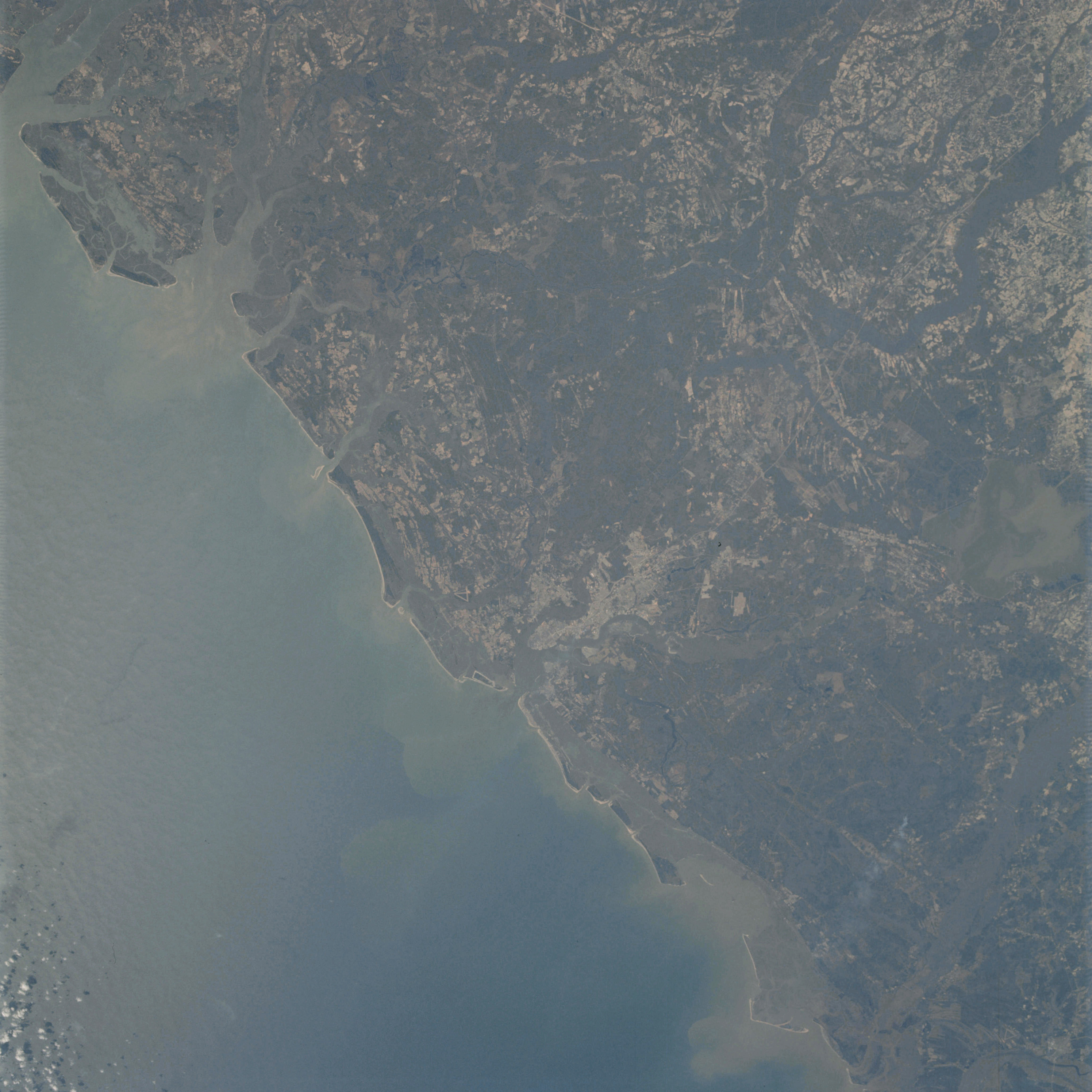 | AS09-23-3568 GEOGRAPHY/CARTOGRAPHY: East Coast of United States, St. Helena Sound, Charleston, South Carolina, Santee River. GEOLOGY/HYDROLOGY: Coastal plain. AGRICULTURE: Scattered cultivated areas. FORESTRY: Mixed-forest stands. OCEANOGRAPHY: Ocean depth variations, currents. Image credit: Image Science and Analysis Laboratory, NASA-Johnson Space Center. |
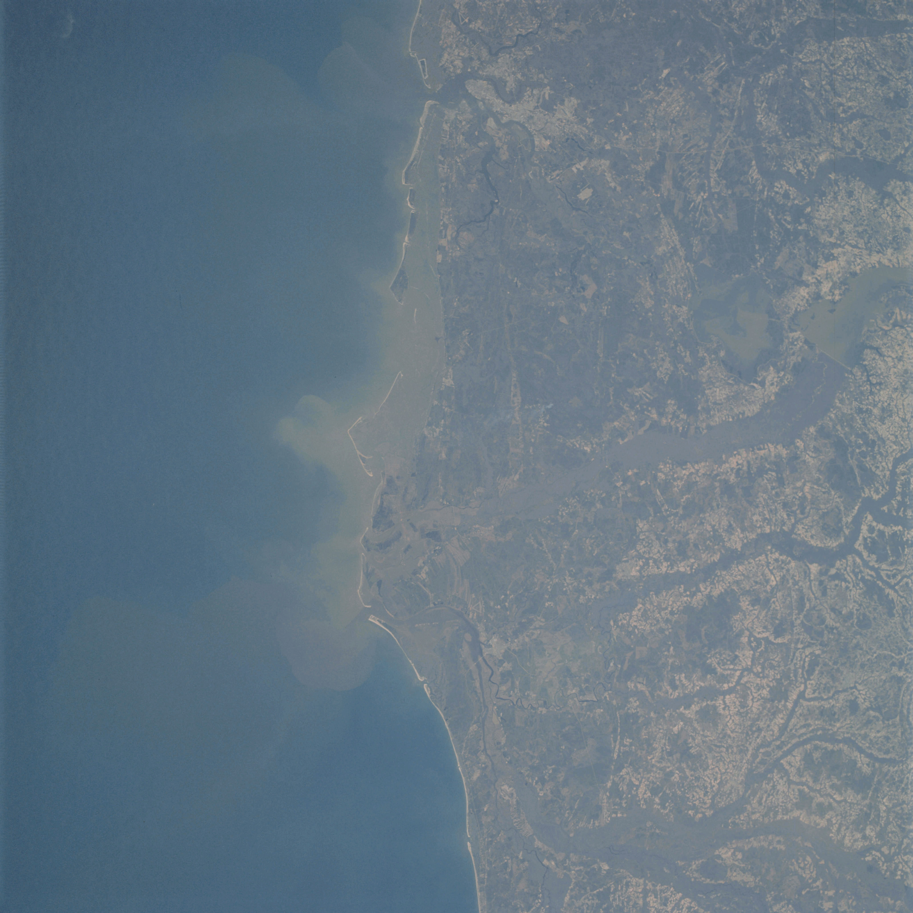 | AS09-23-3569 GEOGRAPHY/CARTOGRAPHY: South Carolina, Charleston, Santee River, Garden City. GEOLOGY/HYDROLOGY: Coastal plain. AGRICULTURE: Scattered cultivated areas. FORESTRY; Mixed-forest stands. OCEANOGRAPHY: Ocean depth variations, currents. Image credit: Image Science and Analysis Laboratory, NASA-Johnson Space Center. |
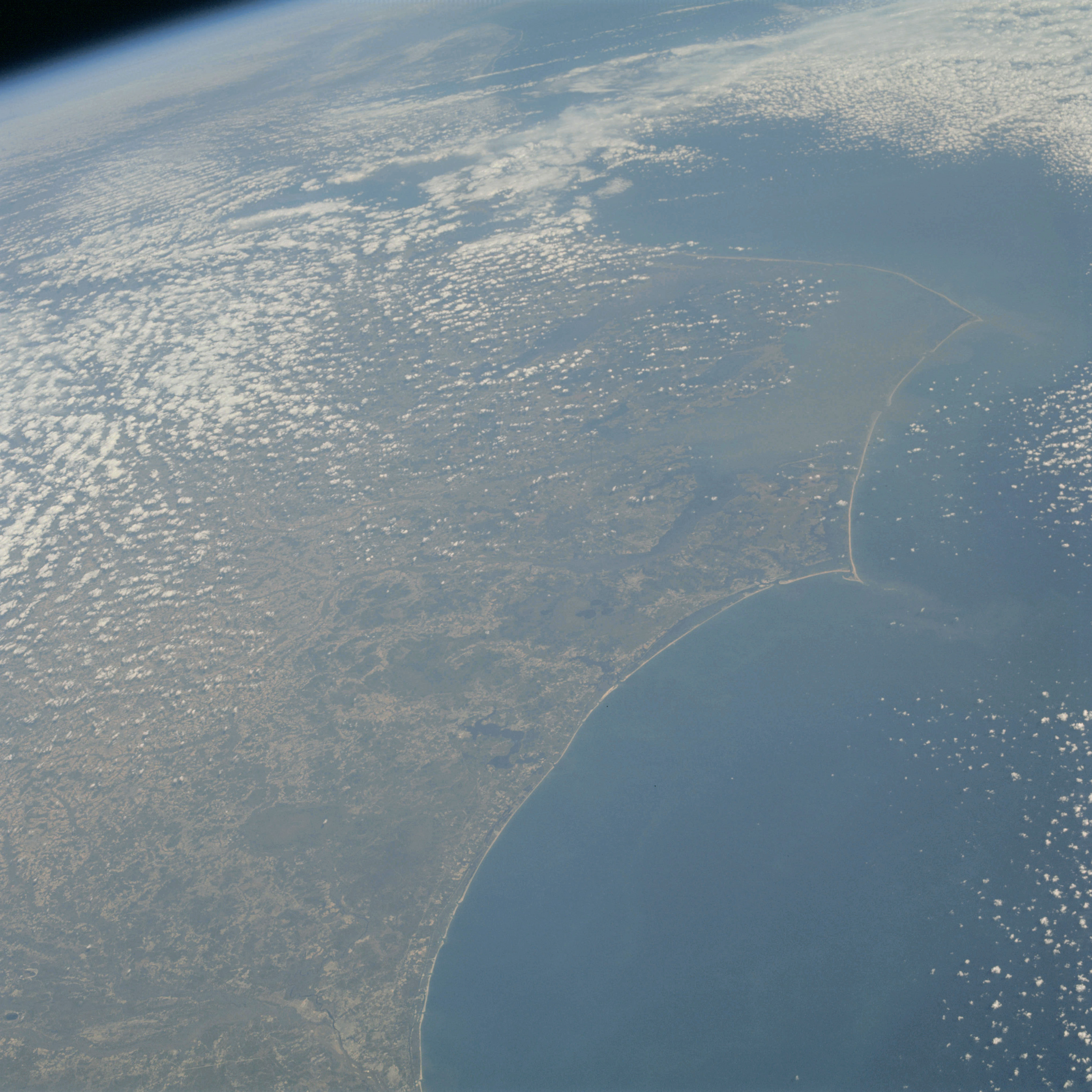 | AS09-23-3570 GEOGRAPHY/CARTOGRAPHY: North Carolina, Cape Hatteras, Wilmington, Atlantic Ocean. GEOLOGY/HYDROLOGY: Coastal plain. AGRICULTURE: Scattered cultivated areas. FORESTRY: Mixed-forest stands. METEOROLOGY: Cumulus. OCEANOGRAPHY: Ocean depth variations. Image credit: Image Science and Analysis Laboratory, NASA-Johnson Space Center. |
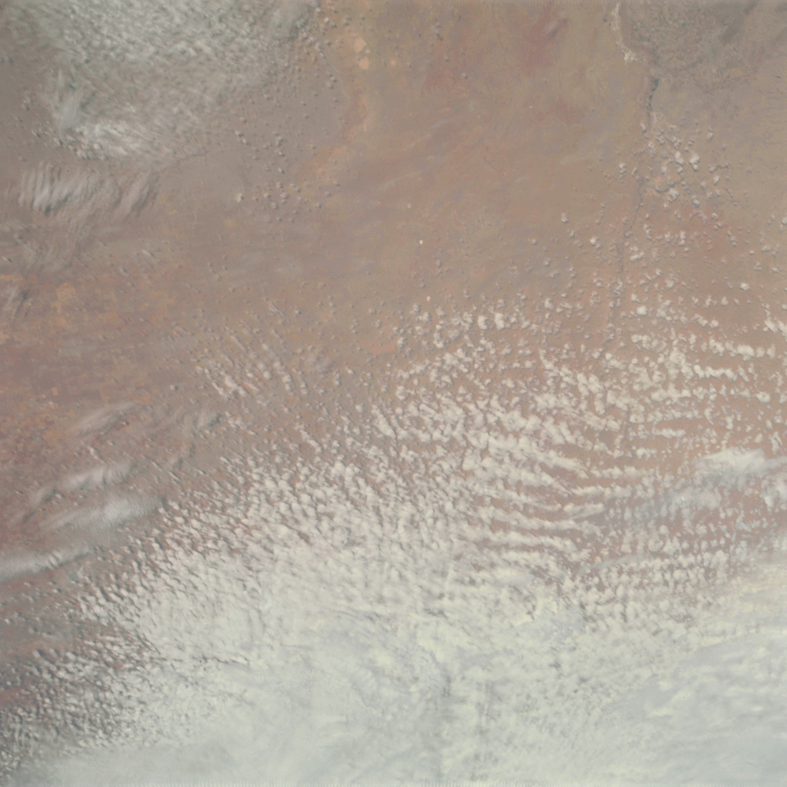 | AS09-23-3571 GEOGRAPHY/CARTOGRAPHY: New Mexico, Texas border. GEOLOGY/HYDROLOGY: Basin and range region. AGRICULTURE: Field patterns, intensive agriculture. METEOROLOGY: Cumulus, alto-cumulus, strato-cumulus, cirrus. Image credit: Image Science and Analysis Laboratory, NASA-Johnson Space Center. |
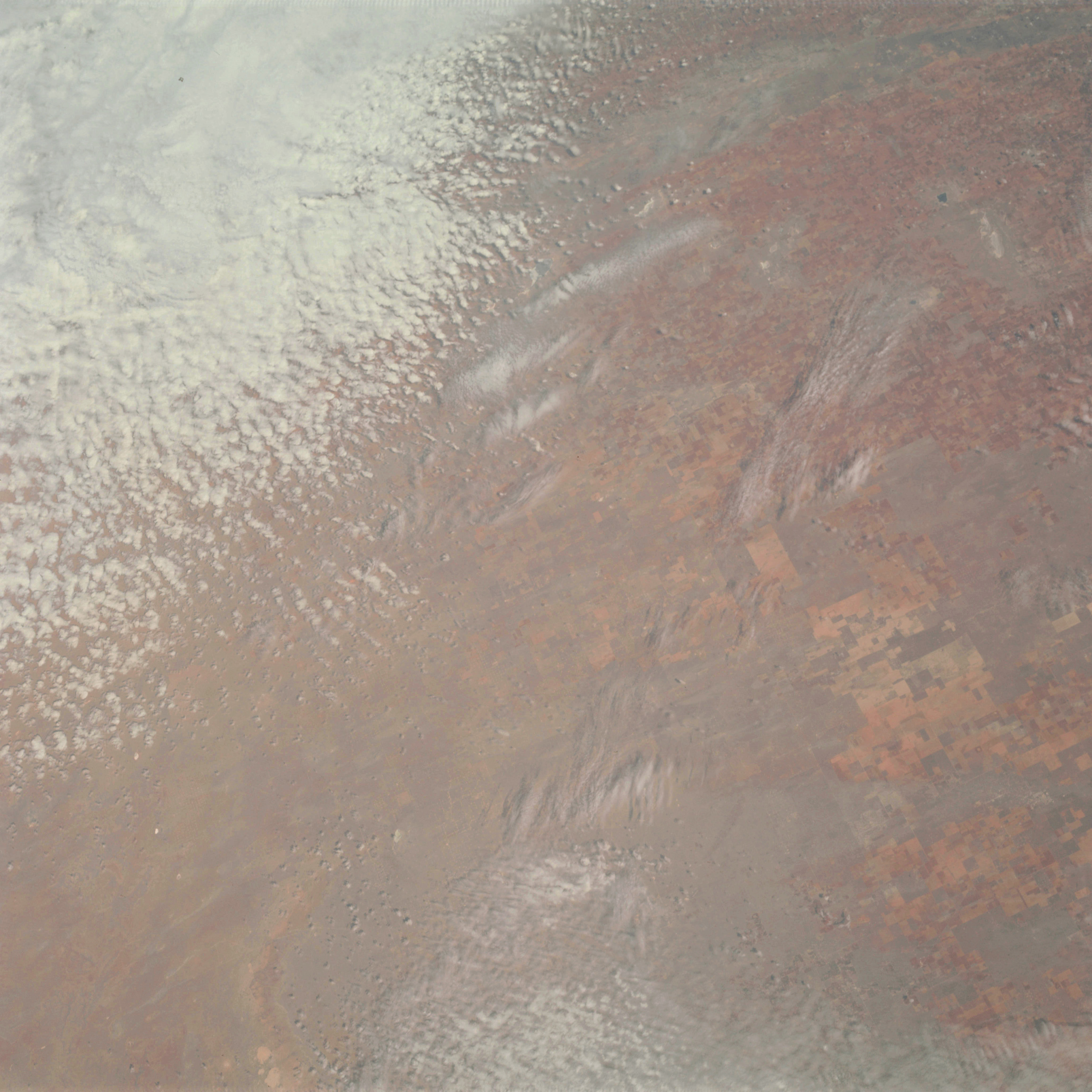 | AS09-23-3572 GEOGRAPHY/CARTOGRAPHY: New Mexico, Texas border. GEOLOGY/HYDROLOGY: Basin and range region. AGRICULTURE: Field patterns, intensive agriculture. METEOROLOGY: Cumulus, alto-cumulus, strato-cumulus, cirrus. Image credit: Image Science and Analysis Laboratory, NASA-Johnson Space Center. |
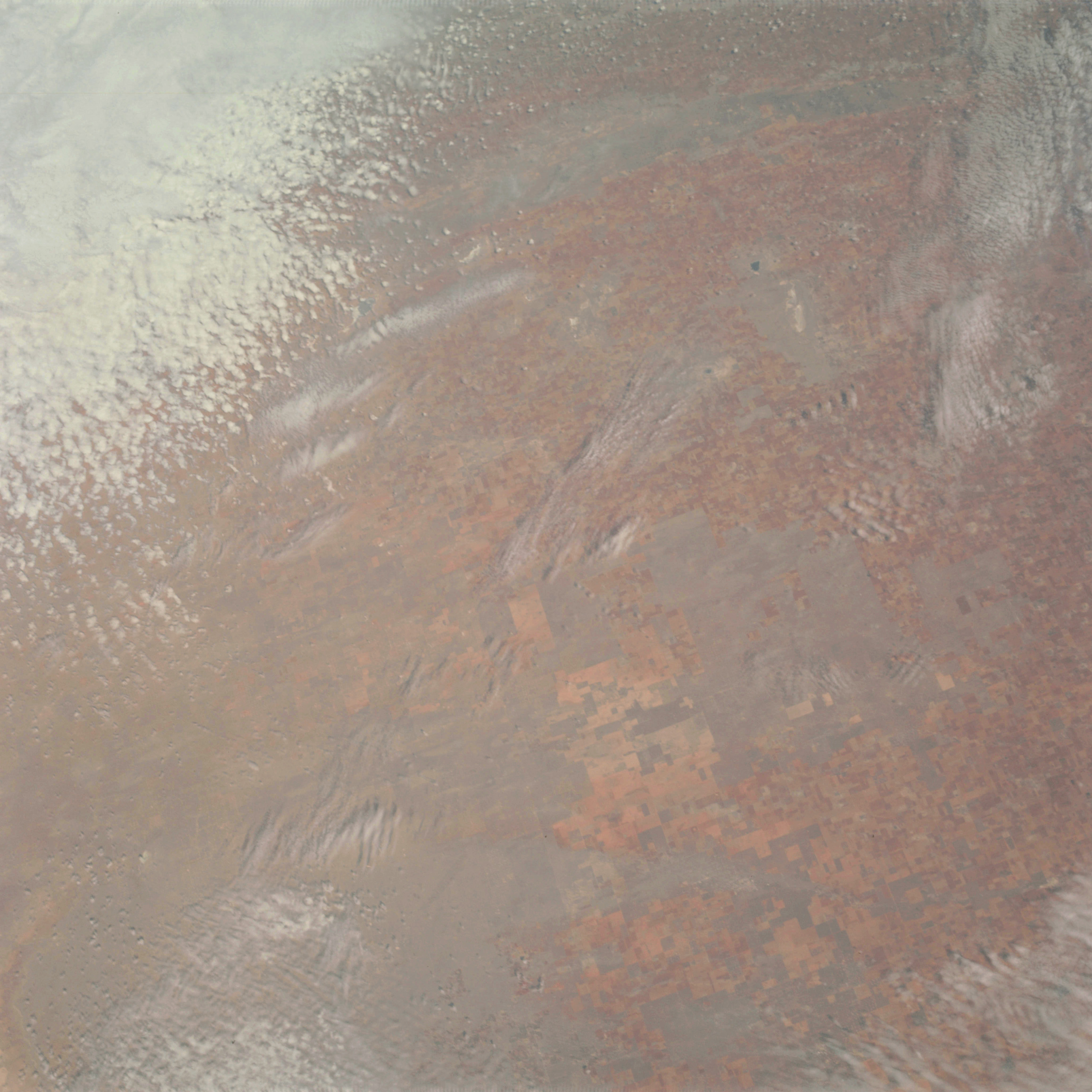 | AS09-23-3573 GEOGRAPHY/CARTOGRAPHY: New Mexico, Texas border. GEOLOGY/HYDROLOGY: Basin and range region. AGRICULTURE: Field patterns, intensive agriculture. FORESTRY: Range land. METEOROLOGY: Cumulus, alto-cumulus, strato-cumulus, cirrus. Image credit: Image Science and Analysis Laboratory, NASA-Johnson Space Center. |
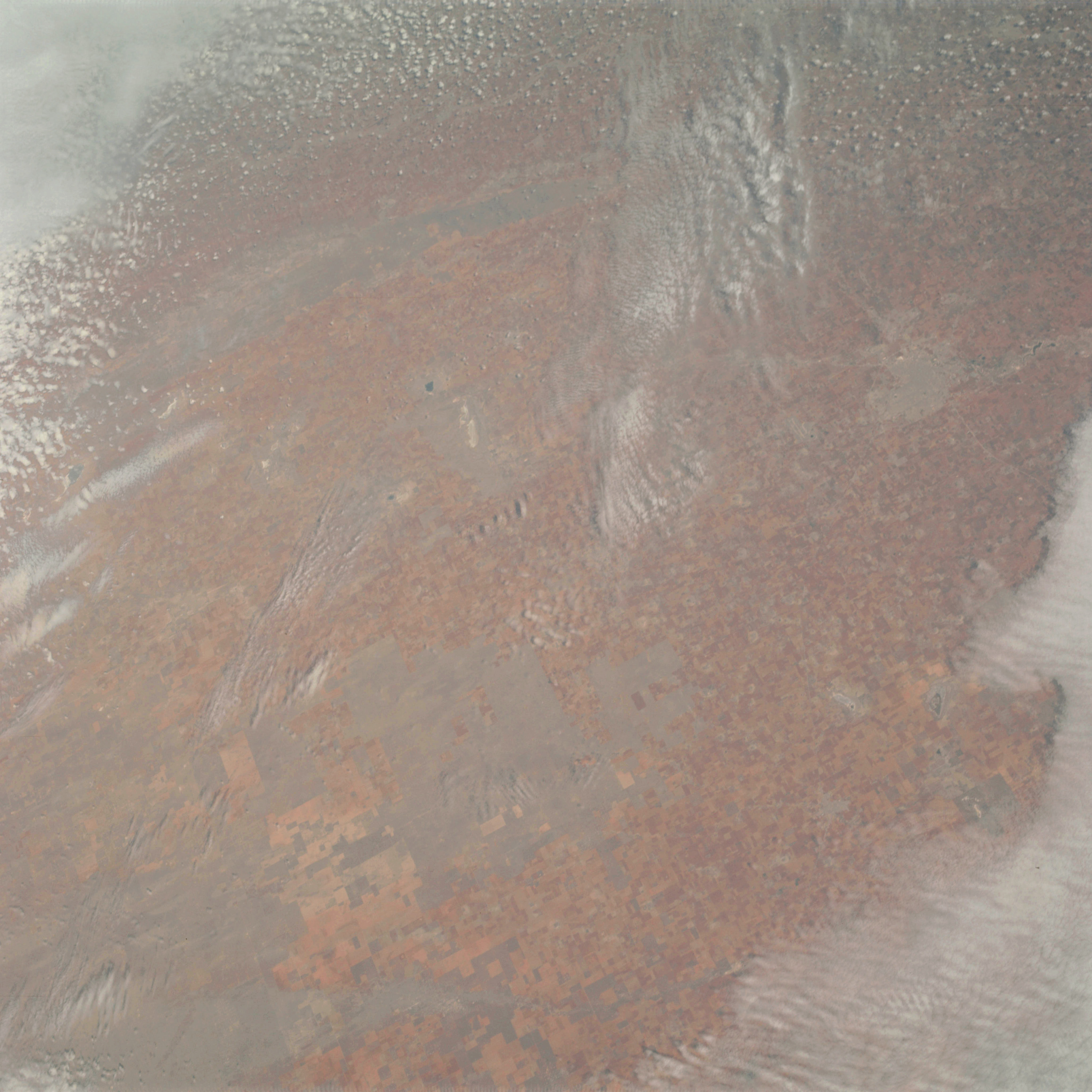 | AS09-23-3574 GEOGRAPHY/CARTOGRAPHY: Texas, Lubbock. GEOLOGY/HYDROLOGY: Sedimentary plateau, high-plains. AGRICULTURE: Field patterns, cultivated areas. FORESTRY: Range land. METEOROLOGY: Cumulus, alto-cumulus, cirrus. Image credit: Image Science and Analysis Laboratory, NASA-Johnson Space Center. |
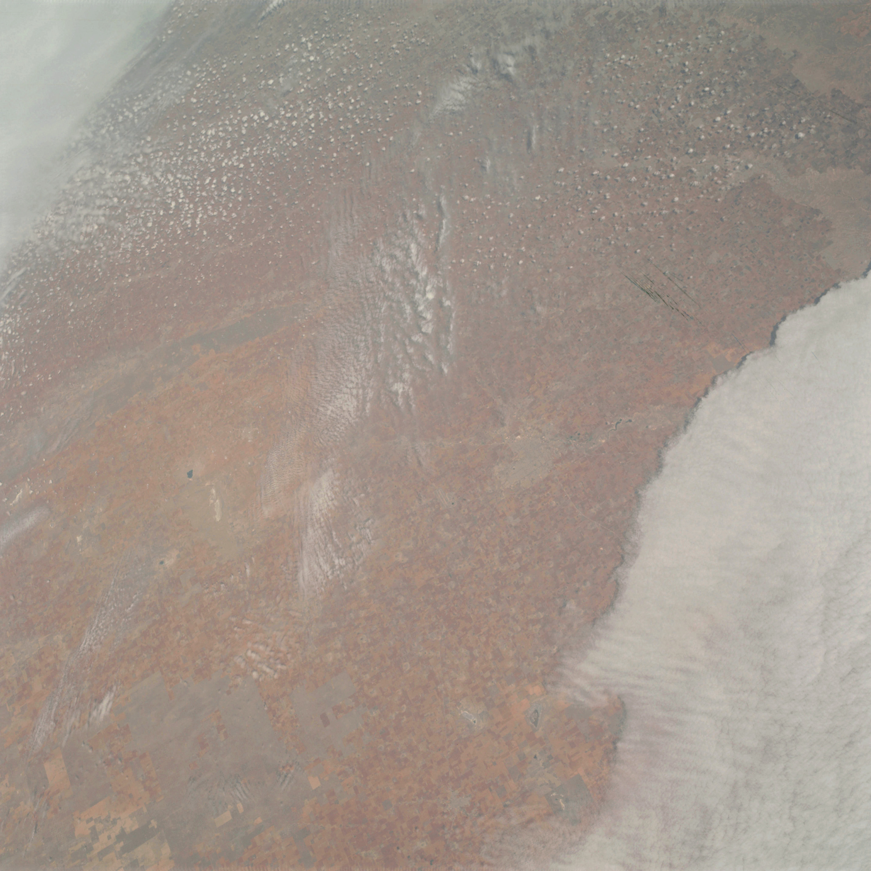 | AS09-23-3575 GEOGRAPHY/CARTOGRAPHY: Texas, Lubbock. GEOLOGY/HYDROLOGY: Sedimentary plateau, high-plains. AGRICULTURE: Field pattern, cultivated areas. FORESTRY: Range land. METEOROLOGY: Cumulus, alto-cumulus, strato-cumulus, cirrus. Image credit: Image Science and Analysis Laboratory, NASA-Johnson Space Center. |
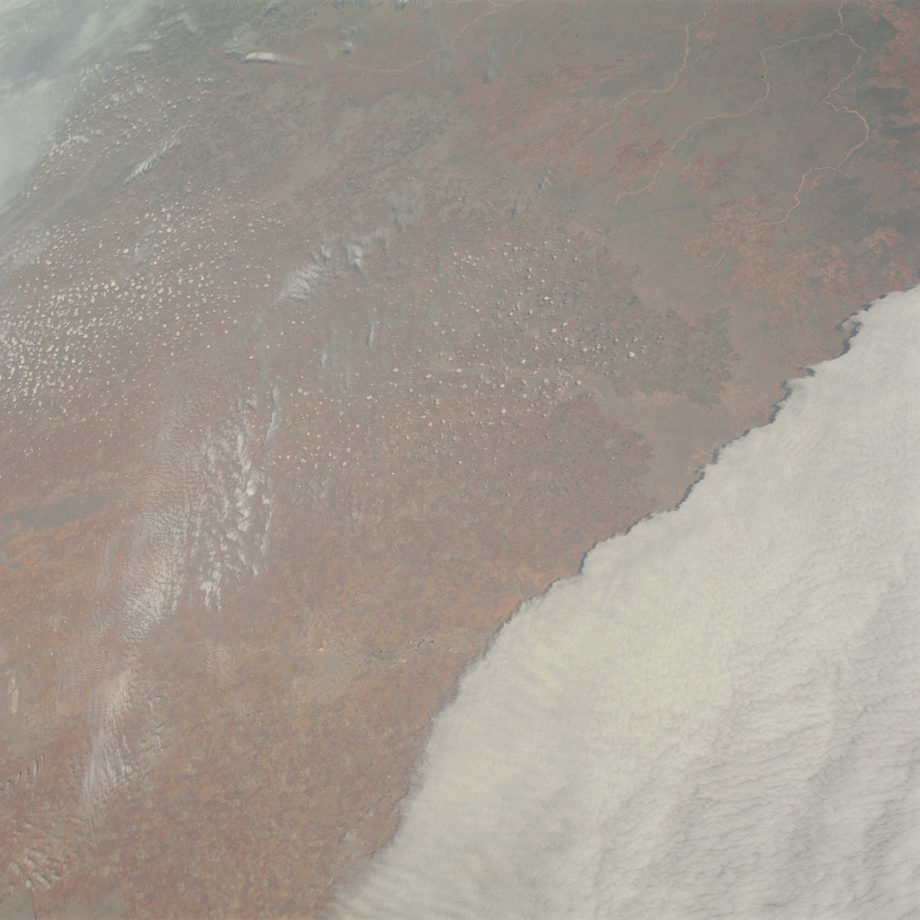 | AS09-23-3576 GEOGRAPHY/CARTOGRAPHY: Texas, Lubbock area. GEOLOGY/HYDROLOGY: Sedimentary plateau. High plains. AGRICULTURE: Field patterns, intensive agriculture. FORESTRY: Range land. METEOROLOGY: cumulus, alto-cumulus, strato-cumulus, cirrus. Image credit: Image Science and Analysis Laboratory, NASA-Johnson Space Center. |
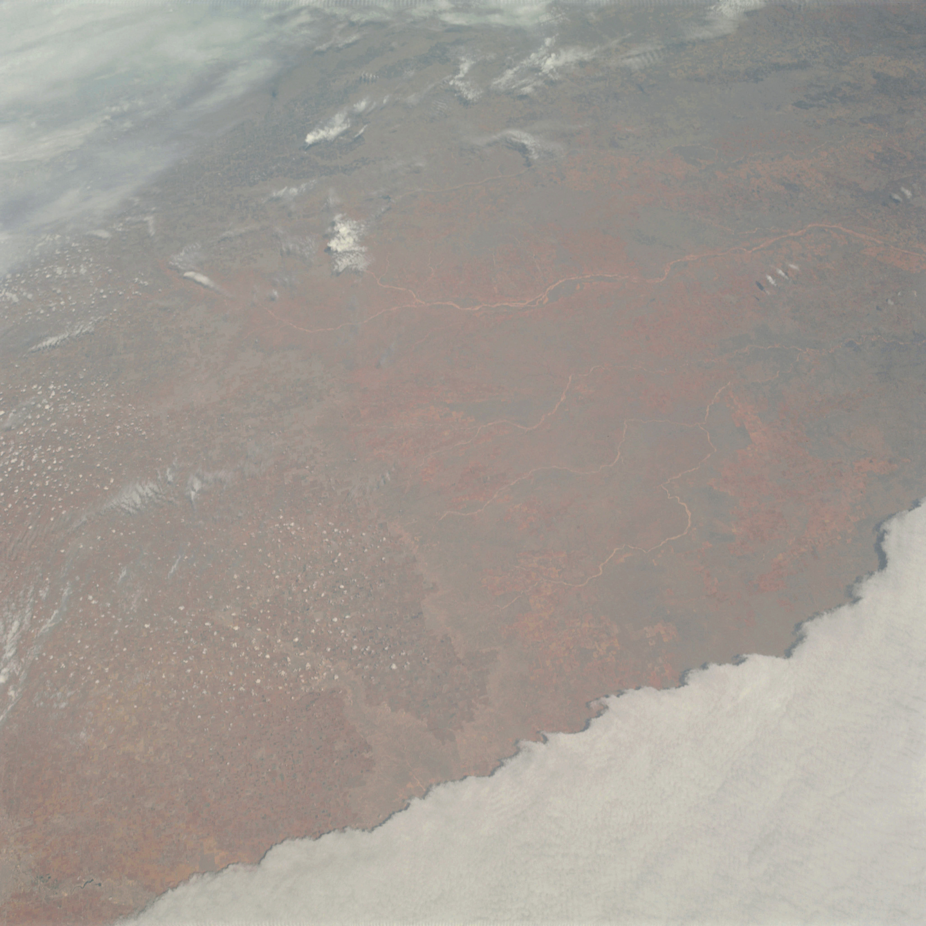 | AS09-23-3577 GEOGRAPHY/CARTOGRAPHY: Texas, Lubbock area. GEOLOGY/HYDROLOGY: Sedimentary plateau. High plains. AGRICULTURE: Field-pattern, intensive agriculture. FORESTRY: Some forest stands along streams and on higher elevations, Range land. METEOROLOGY: Cumulus, alto-cumulus, strato-cumulus, cirrus. Image credit: Image Science and Analysis Laboratory, NASA-Johnson Space Center. |
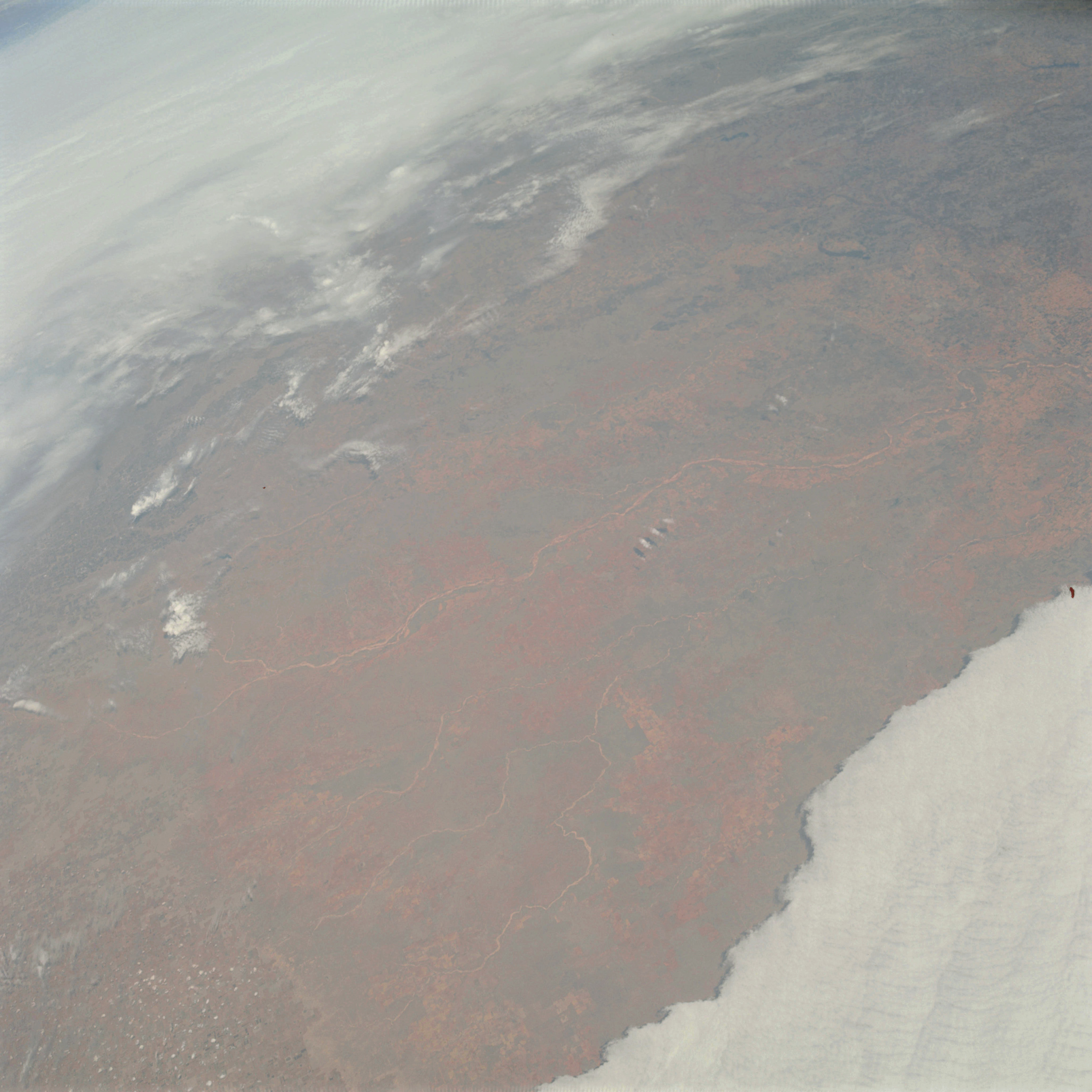 | AS09-23-3578 GEOGRAPHY/CARTOGRAPHY: Texas, Childress area, Red River. GEOLOGY/HYDROLOGY: Sedimentary plateau. AGRICULTURE: Field-pattern, intensive agriculture, Range land. FORESTRY: Deciduous shrub and forest stands along streams and on higher elevations. METEOROLOGY: Cumulus, alto-cumulus, strato-cumulus, cirrus. Image credit: Image Science and Analysis Laboratory, NASA-Johnson Space Center. |
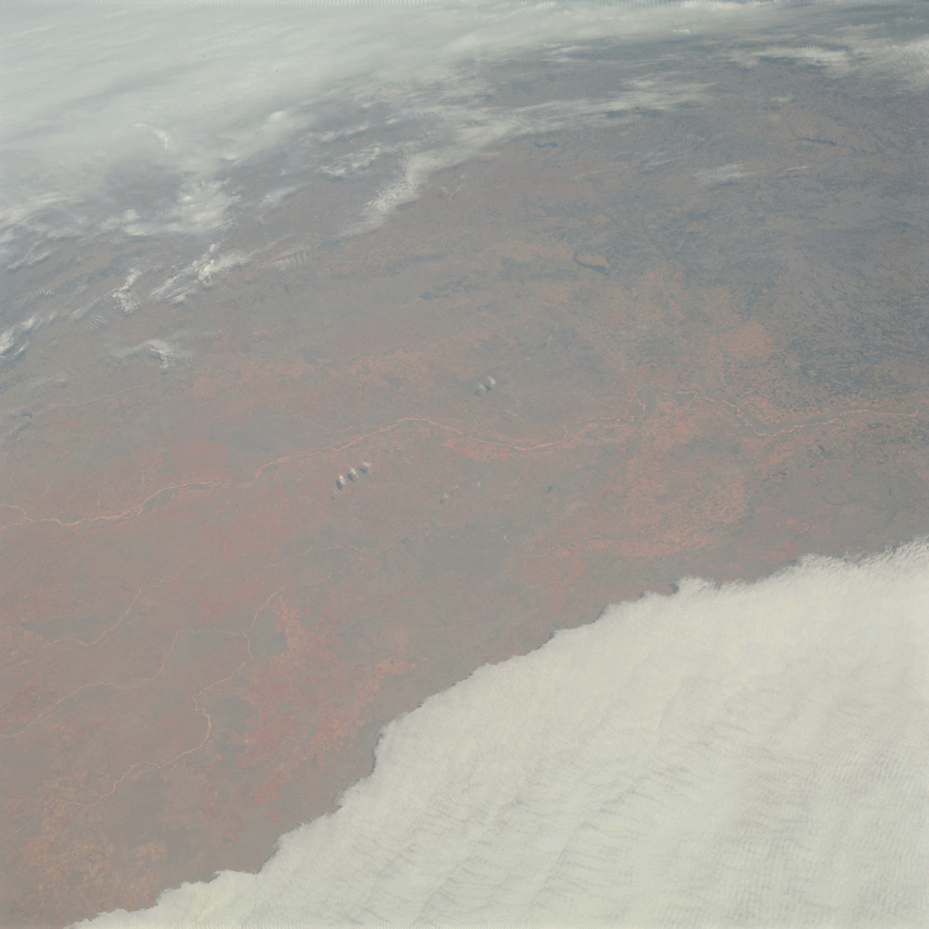 | AS09-23-3579 GEOGRAPHY/CARTOGRAPHY: Texas, Red River, Childress. GEOLOGY/HYDROLOGY: Sedimentary plateau. AGRICULTURE: Field-pattern, intensive agriculture, Range land. FORESTRY: Deciduous shrub and forest stands along streams and on higher elevations. METEOROLOGY: Cumulus, alto-cumulus, strato-cumulus, cirrus. Image credit: Image Science and Analysis Laboratory, NASA-Johnson Space Center. |
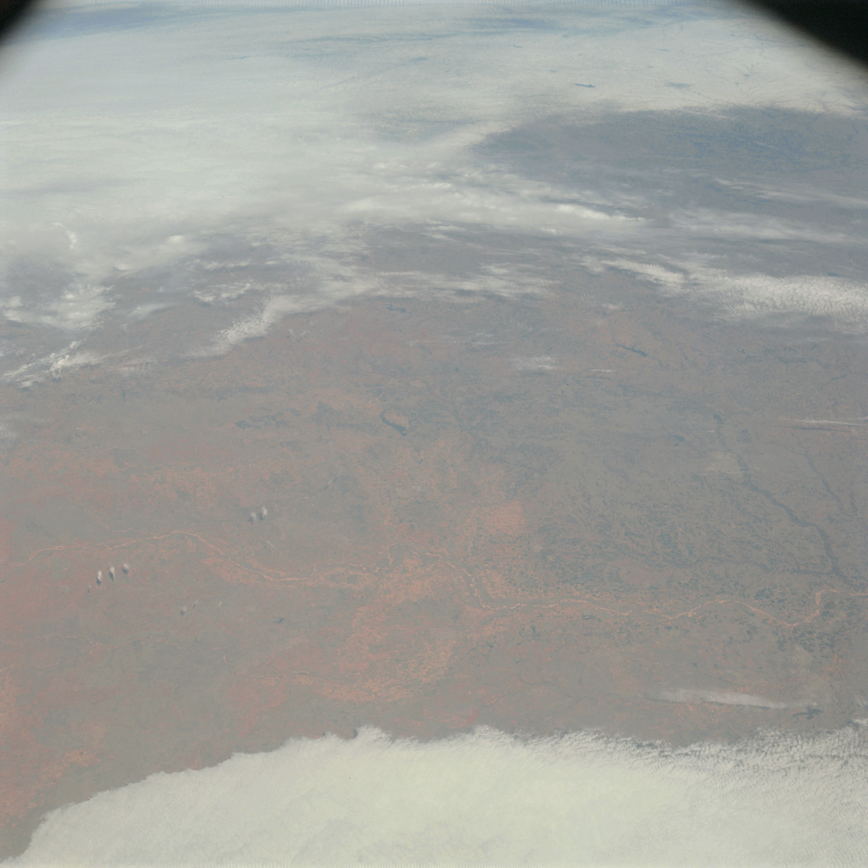 | AS09-23-3580 GEOGRAPHY/CARTOGRAPHY: Texas, Wichita Falls, Red River. GEOLOGY/HYDROLOGY: Sedimentary plateau. AGRICULTURE: Field pattern, intensive agriculture, Range land. FORESTRY: Deciduous shrub and forest stands along streams. METEOROLOGY: Cumulus, alto-cumulus, strato-cumulus, cirrus. Image credit: Image Science and Analysis Laboratory, NASA-Johnson Space Center. |
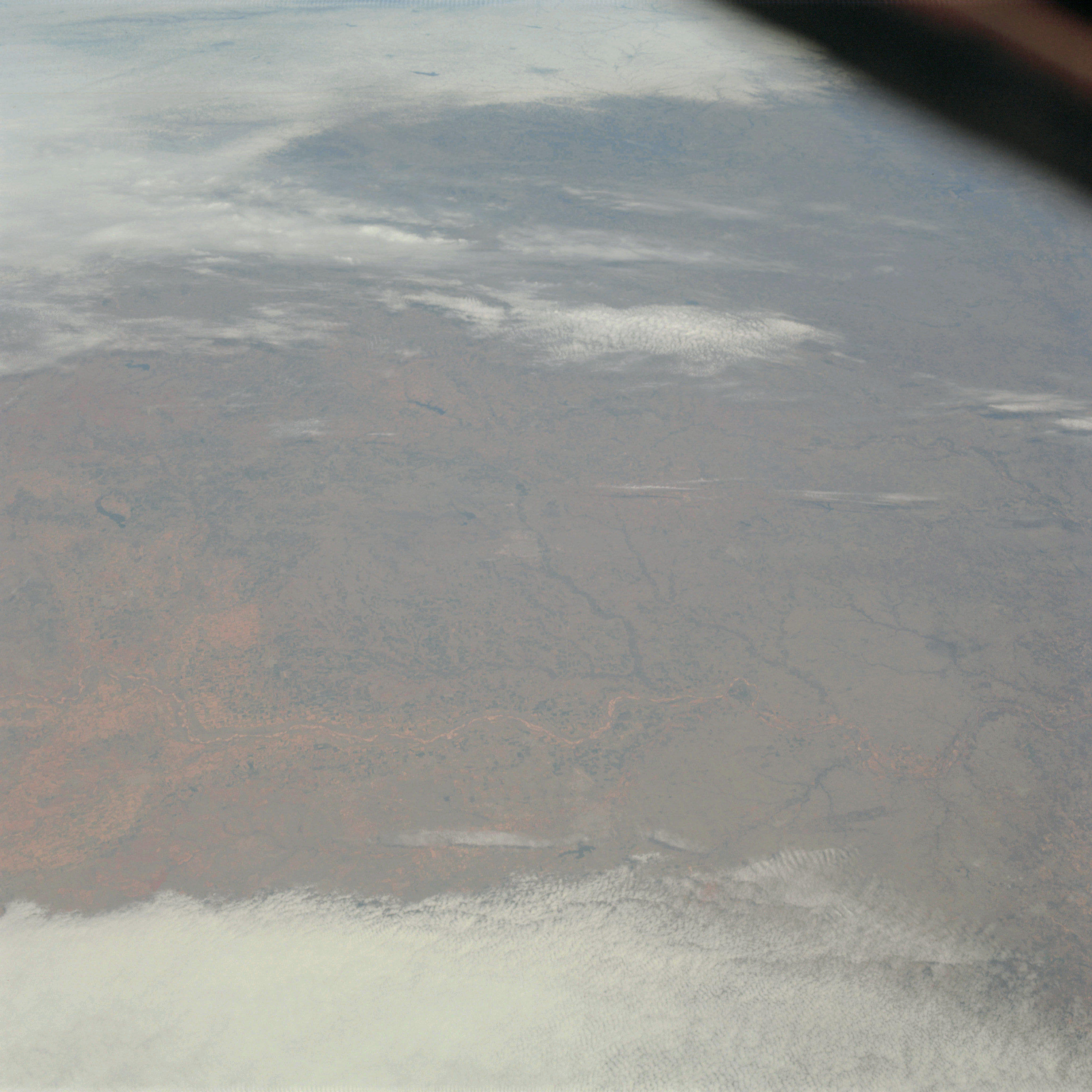 | AS09-23-3581 GEOGRAPHY/CARTOGRAPHY: Texas, Wichita Falls, Red River. GEOLOGY/HYDROLOGY: Sedimentary plateau. AGRICULTURE: Field pattern, intensive agriculture, Range land. FORESTRY: Deciduous shrub and forest stands along streams. METEOROLOGY: Cumulus, alto-cumulus, strato-cumulus, cirrus. Image credit: Image Science and Analysis Laboratory, NASA-Johnson Space Center. |
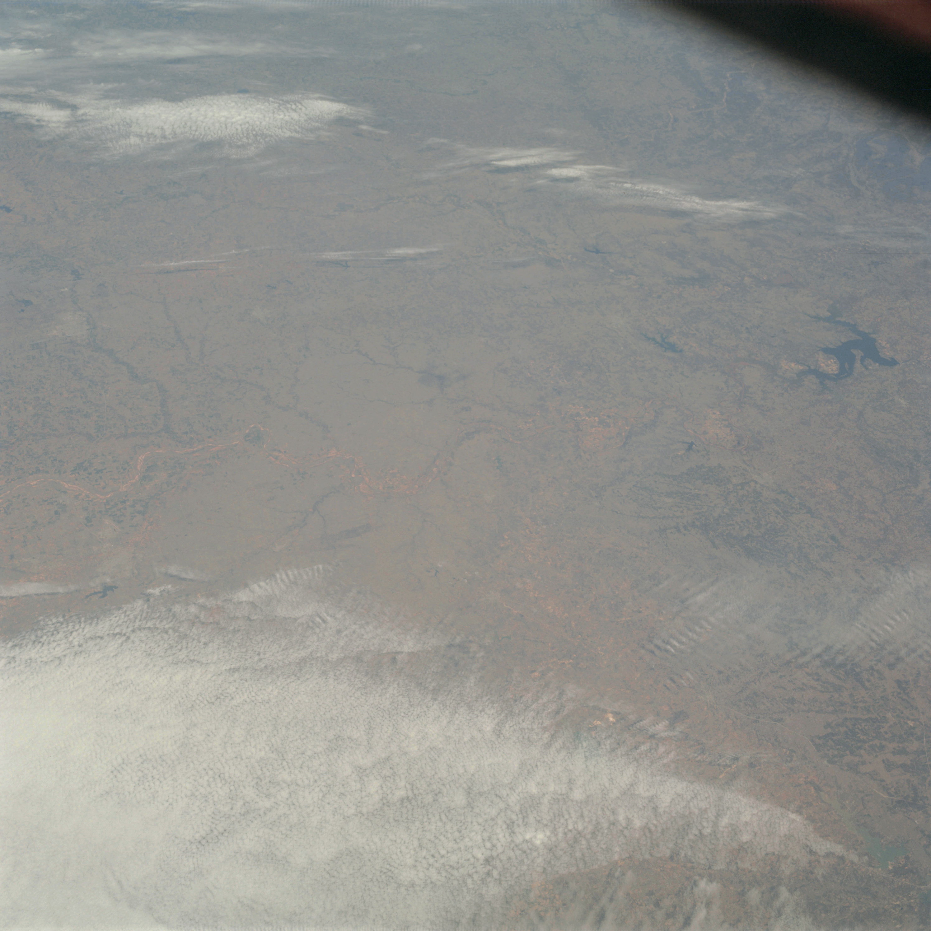 | AS09-23-3582 GEOGRAPHY/CARTOGRAPHY: Texas, Wichita Falls, Red River. GEOLOGY/HYDROLOGY: Sedimentary plateau. AGRICULTURE: Field pattern, intensive agriculture, Range land. FORESTRY: Deciduous shrub and forest along streams. METEOROLOGY: Cumulus, alto-cumulus, strato-cumulus, cirrus. Image credit: Image Science and Analysis Laboratory, NASA-Johnson Space Center. |
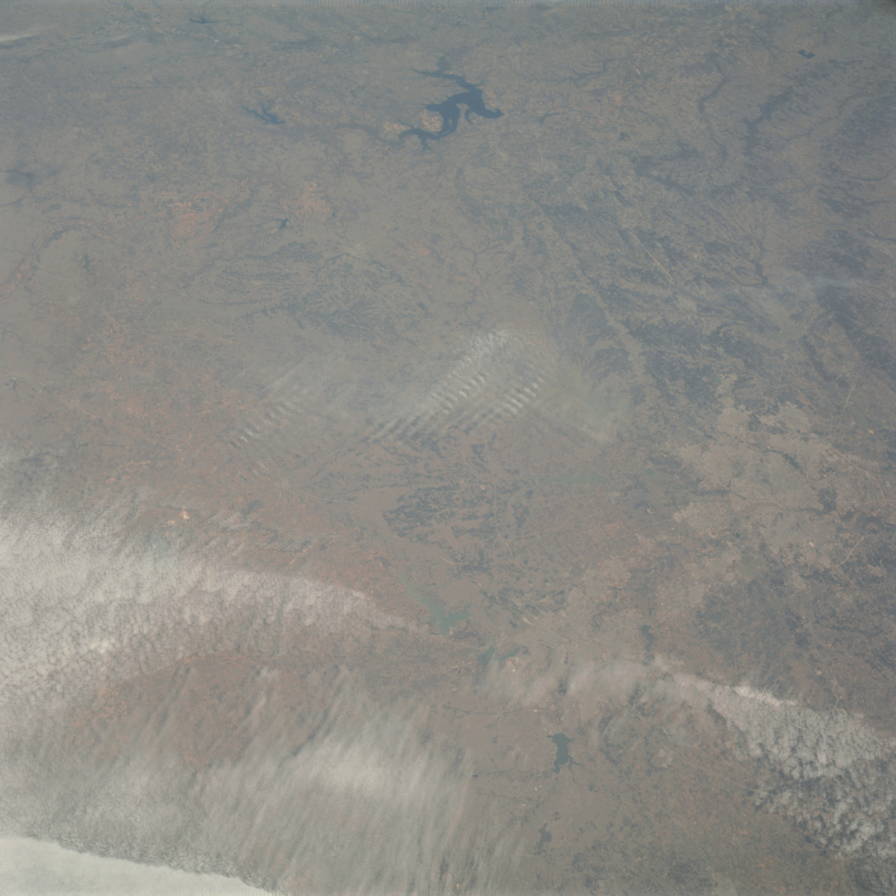 | AS09-23-3583 GEOGRAPHY/CARTOGRAPHY: Texas, Dallas, Ft. Worth, Trinity River. Regional transportation network. GEOLOGY/HYDROLOGY: Sedimentary plateau. AGRICULTURE: Scattered cultivated areas, grazing land around the metropolitan area. FORESTRY: Scattered deciduous forest and shrub. METEOROLOGY: Cumulus, cirrus. Image credit: Image Science and Analysis Laboratory, NASA-Johnson Space Center. |
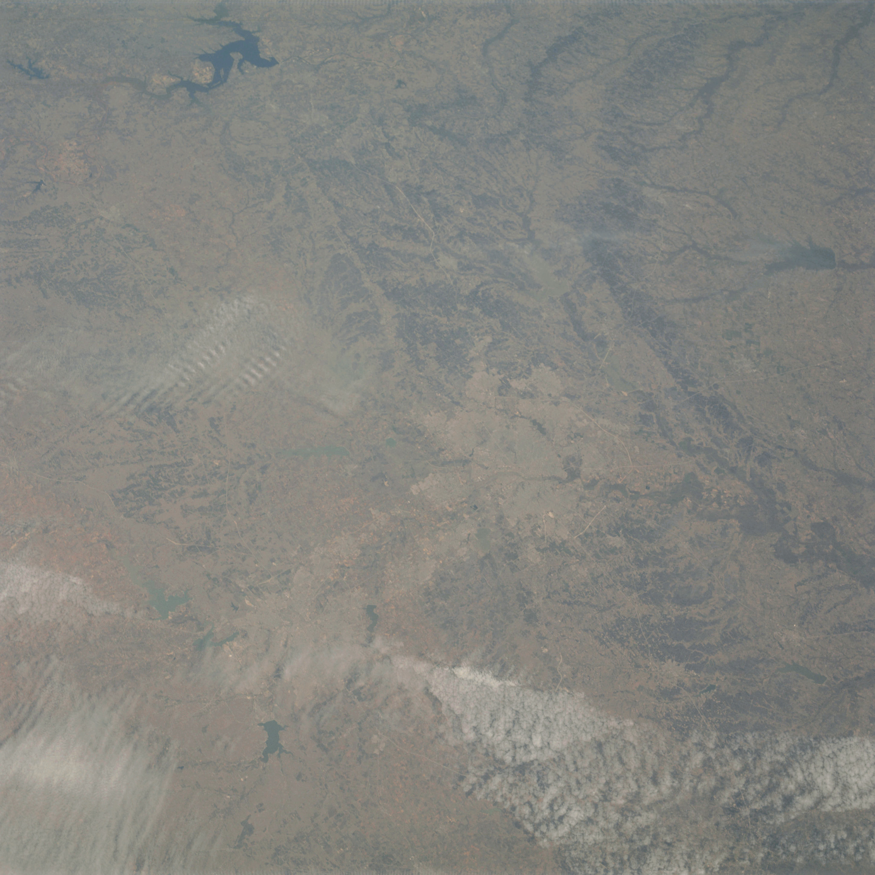 | AS09-23-3584 GEOGRAPHY/CARTOGRAPHY: Texas, Dallas, Ft. Worth, Trinity River. Regional transportation network. GEOLOGY/HYDROLOGY: Sedimentary plateau. AGRICULTURE: Scattered, cultivation, grazing land around the metropolitan area. FORESTRY: Scattered deciduous shrub and forest stands. METEOROLOGY: Cumulus, cirrus. Image credit: Image Science and Analysis Laboratory, NASA-Johnson Space Center. |
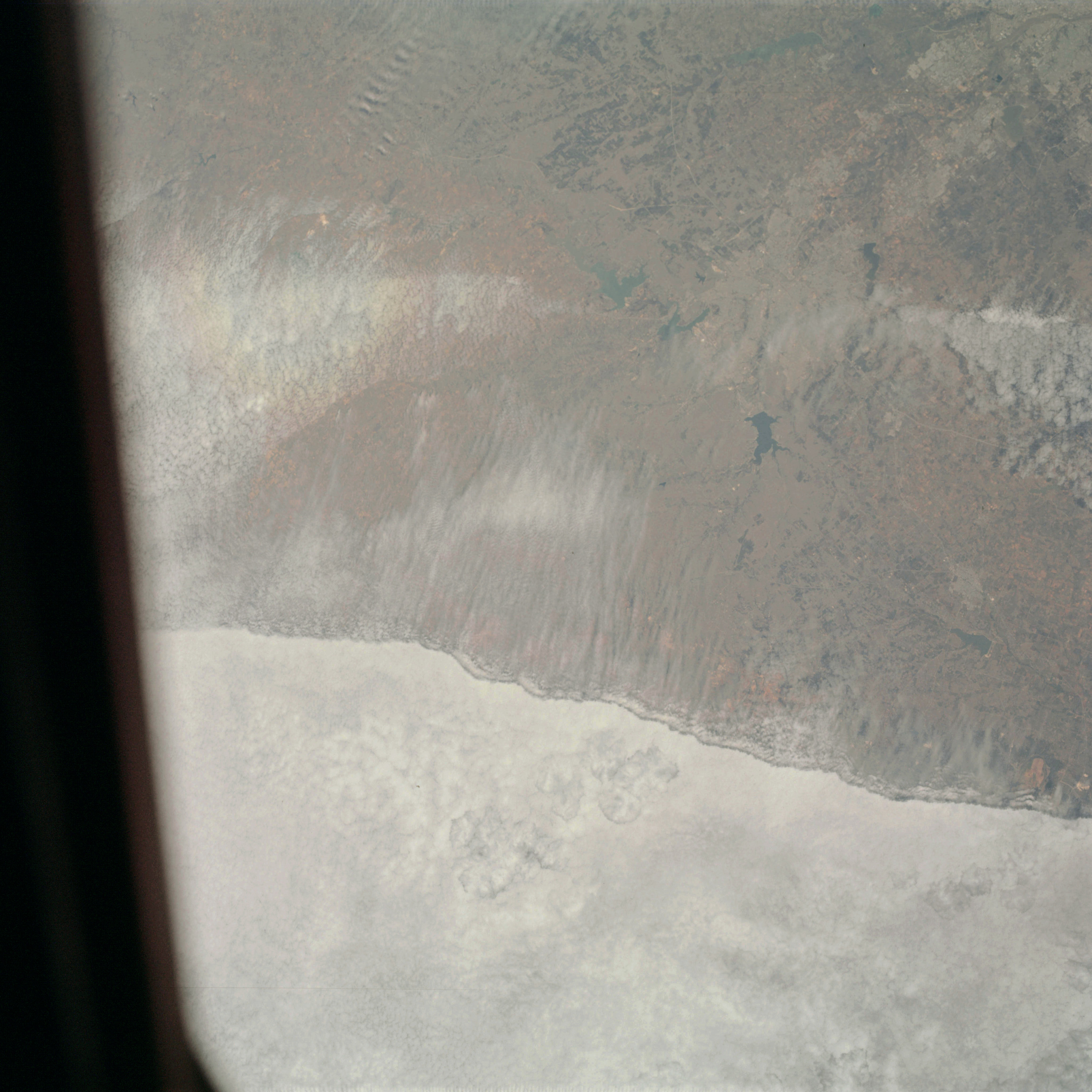 | AS09-23-3585 GEOGRAPHY/CARTOGRAPHY: Texas, Dallas, Ft. Worth, Trinity River. GEOLOGY/HYDROLOGY: Sedimentary plateau. AGRICULTURE: Scattered cultivated areas, grazing land around the metropolitan area. FORESTRY: Scattered deciduous shrub and forest stands. METEOROLOGY: Cumulus, alto-cumulus, strato-cumulus, cirrus. Image credit: Image Science and Analysis Laboratory, NASA-Johnson Space Center. |
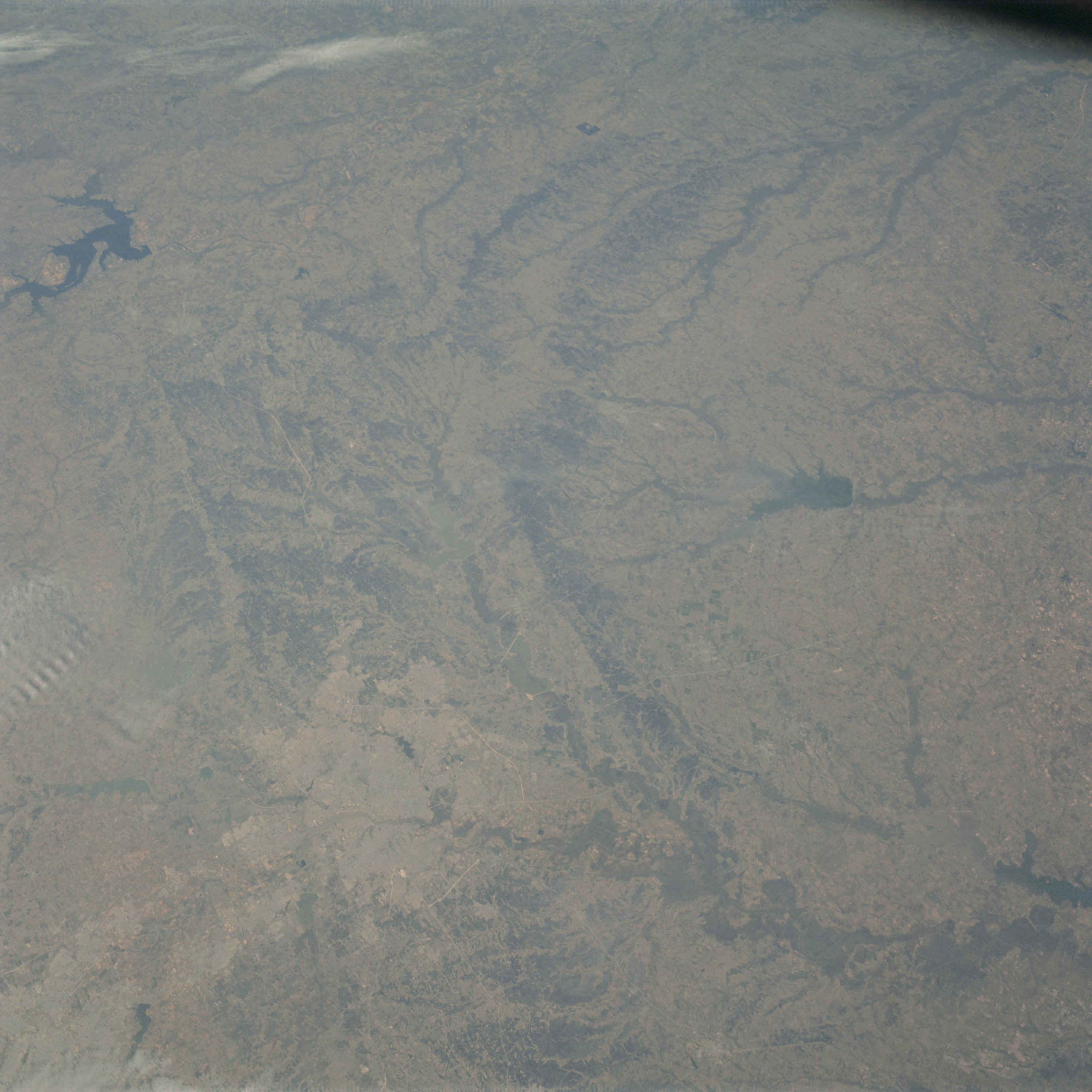 | AS09-23-3586 GEOGRAPHY/CARTOGRAPHY: Texas, Dallas, Ft. Worth, Lake Texoma, Lake Tawakoni, Regional Transportation Network. GEOLOGY/HYDROLOGY: Sedimentary plateau. AGRICULTURE: Scattered cultivated areas, extensive, grazing areas around the metropolitan region. FORESTRY: Scattered deciduous shrub and forest stands. METEOROLOGY: Small, scattered cumulus. Image credit: Image Science and Analysis Laboratory, NASA-Johnson Space Center. |
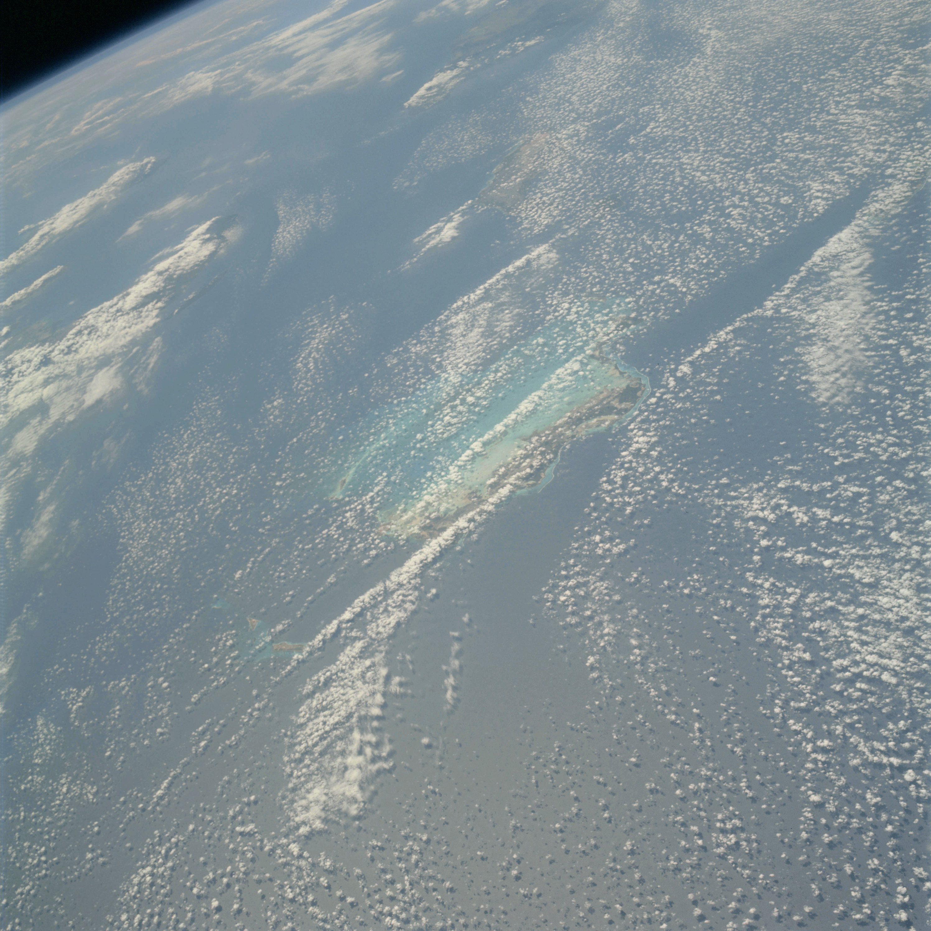 | AS09-23-3587 GEOGRAPHY/CARTOGRAPHY: Caicos Islands, Haiti, Ile de la Tortue. GEOLOGY/HYDROLOGY: Volcanics. FORESTRY: Broadleaf hardwood forest stands. METEOROLOGY: Cumulus. Image credit: Image Science and Analysis Laboratory, NASA-Johnson Space Center. |
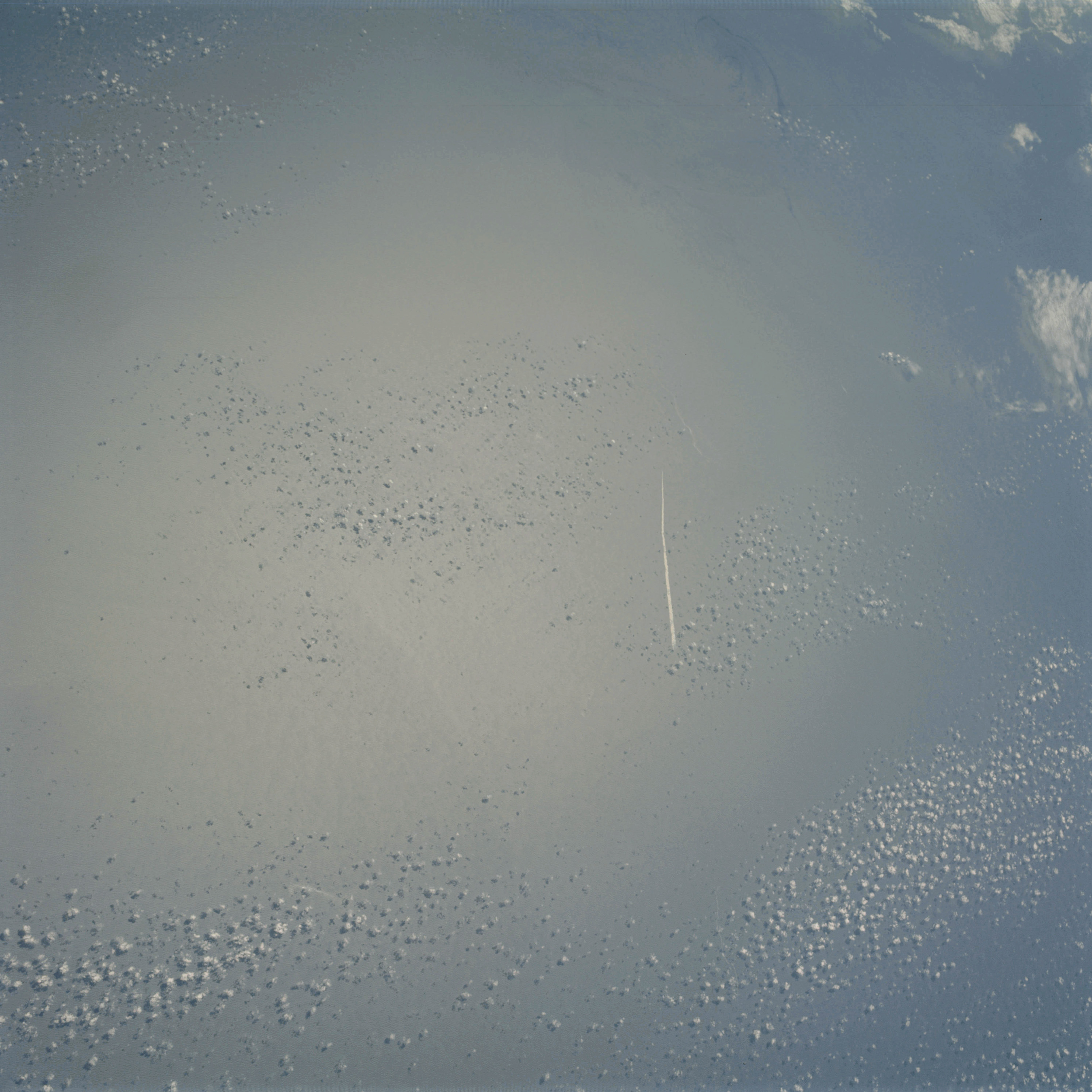 | AS09-23-3588 GEOGRAPHY/CARTOGRAPHY: Sunglint, ocean. BOMEX area. METEOROLOGY: Cumulus. OCEANOGRAPHY: Sun-glint. Image credit: Image Science and Analysis Laboratory, NASA-Johnson Space Center. |
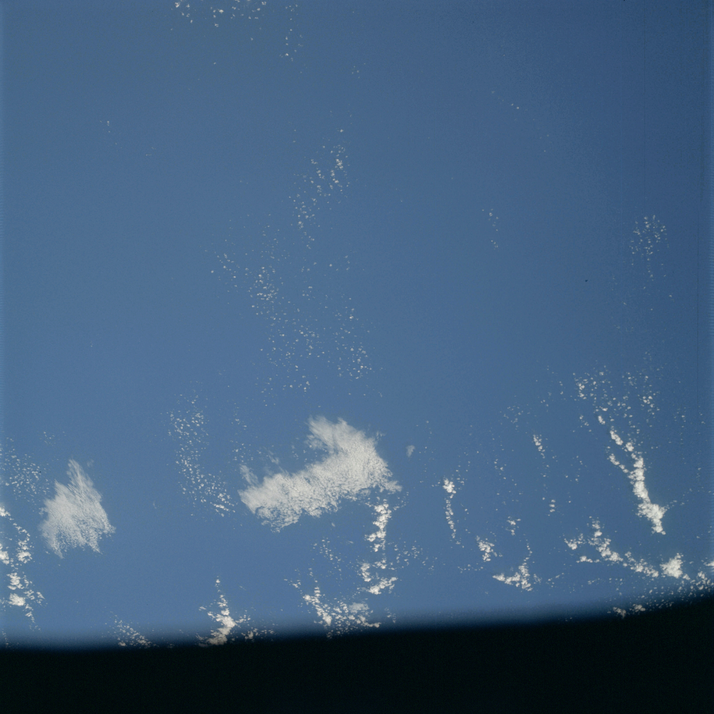 | AS09-23-3589 GEOGRAPHY/CARTOGRAPHY: Ocean. BOMEX area. METEOROLOGY: Cumulus. Image credit: Image Science and Analysis Laboratory, NASA-Johnson Space Center. |
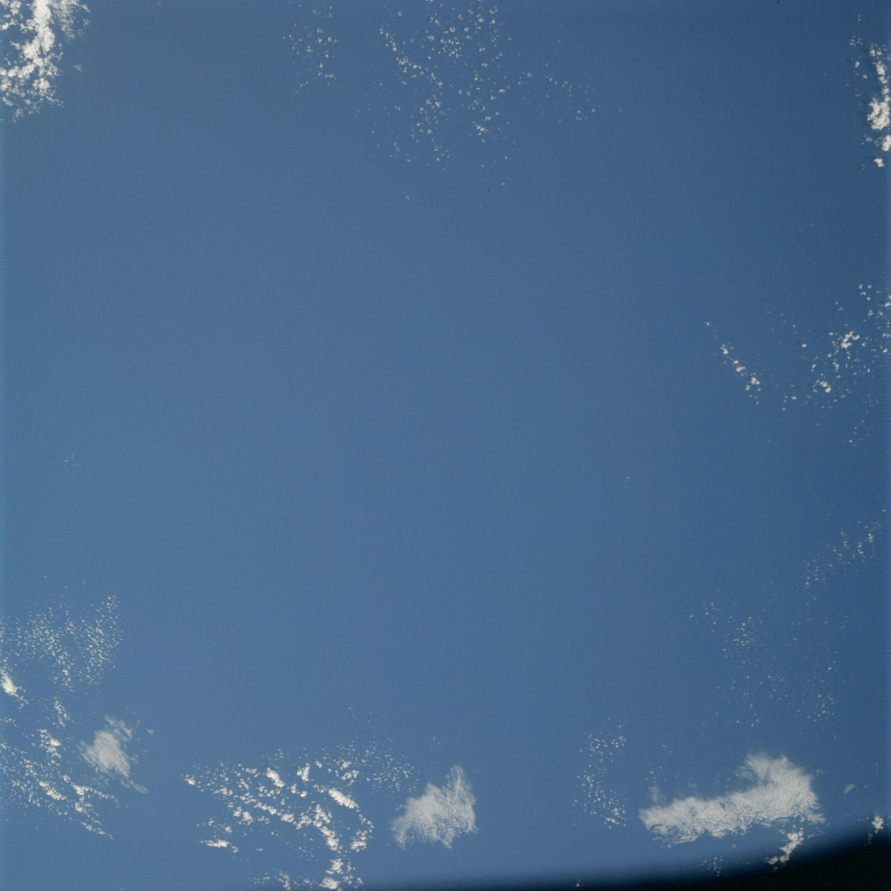 | AS09-23-3590 GEOGRAPHY/CARTOGRAPHY: Ocean. BOMEX area. METEOROLOGY: Cumulus. Image credit: Image Science and Analysis Laboratory, NASA-Johnson Space Center. |
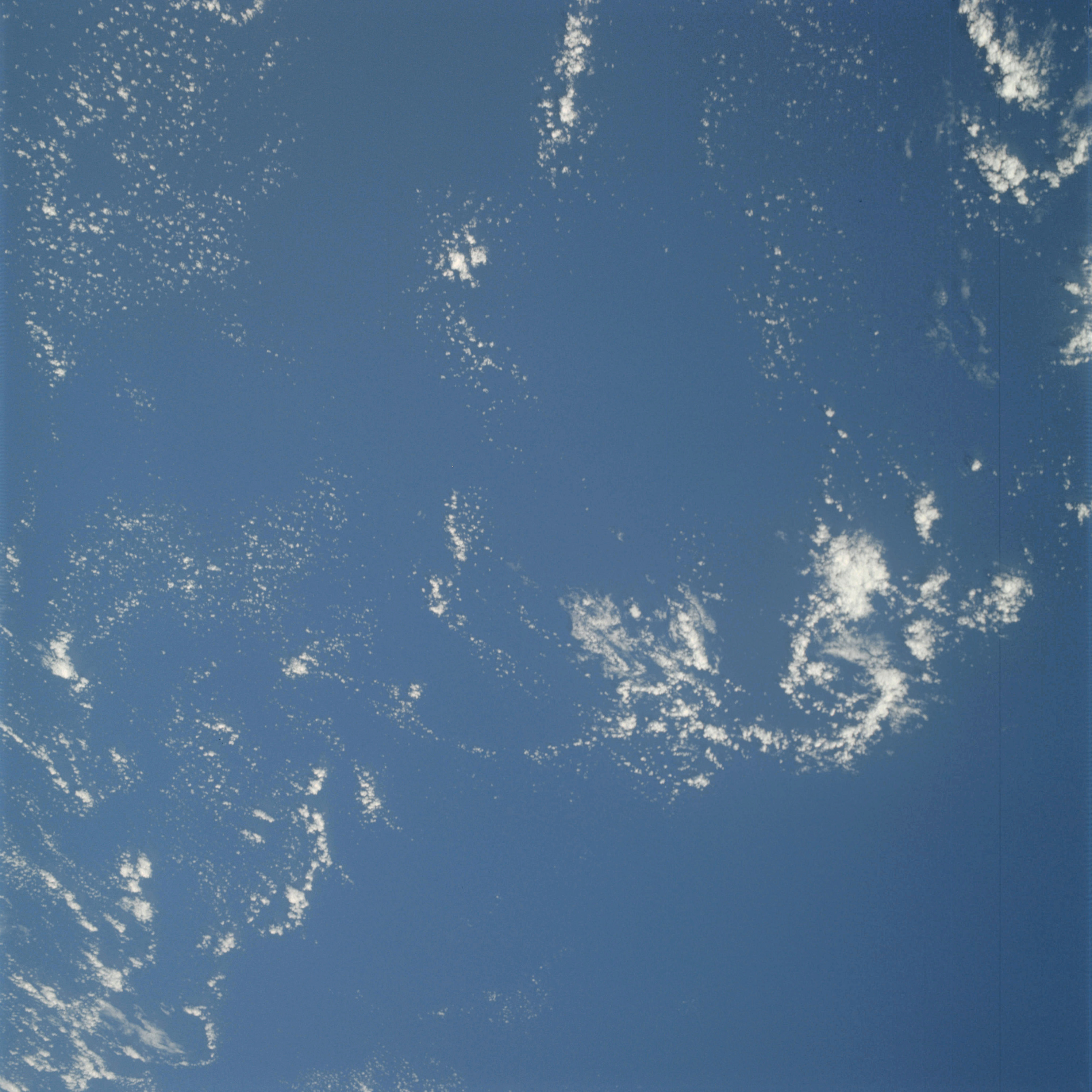 | AS09-23-3591 GEOGRAPHY/CARTOGRAPHY: Ocean. BOMEX area. METEOROLOGY: Cumulus. Image credit: Image Science and Analysis Laboratory, NASA-Johnson Space Center. |
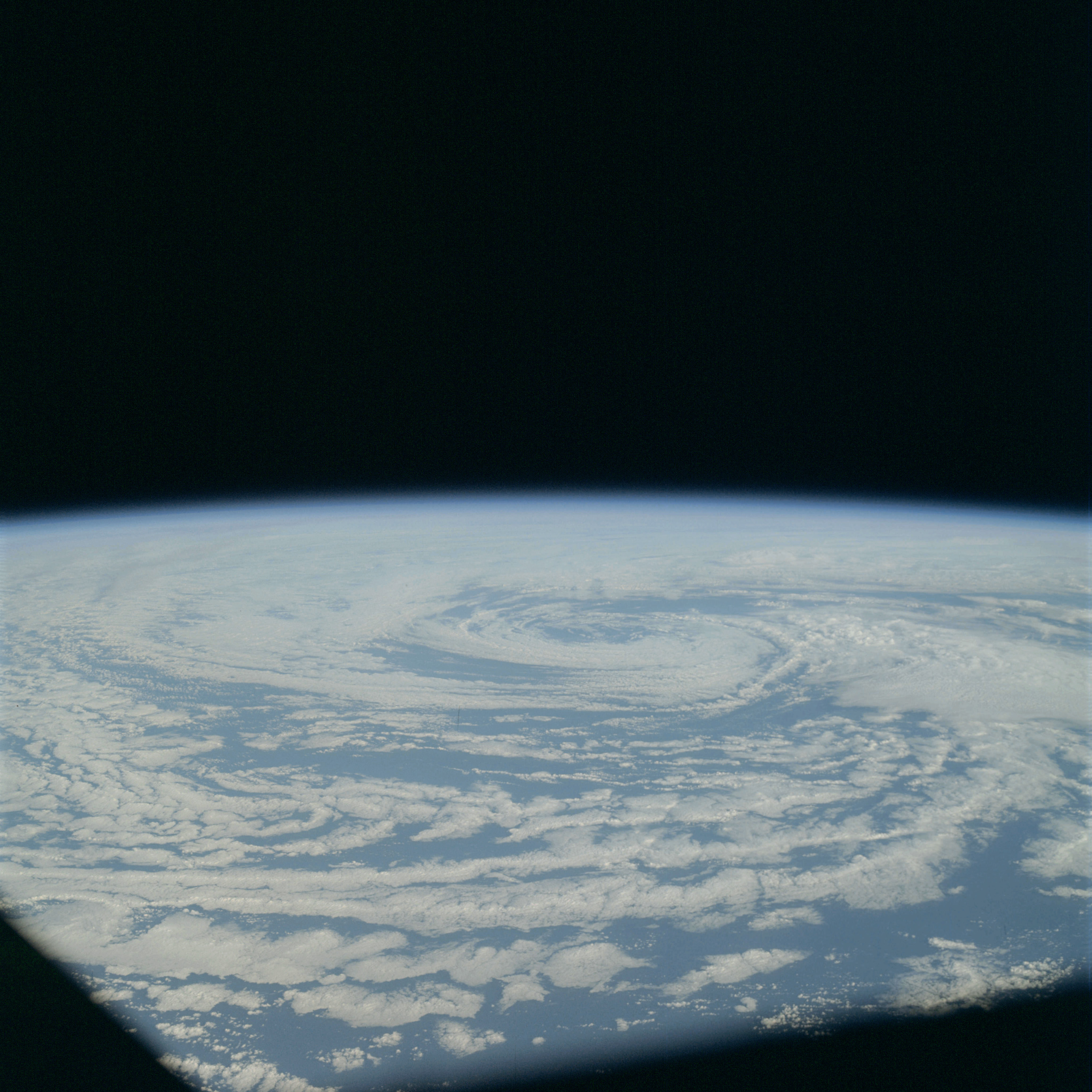 | AS09-23-3592 METEOROLOGY: Cyclonic cloud pattern. Cumulus, alto-cumulus. Image credit: Image Science and Analysis Laboratory, NASA-Johnson Space Center. |
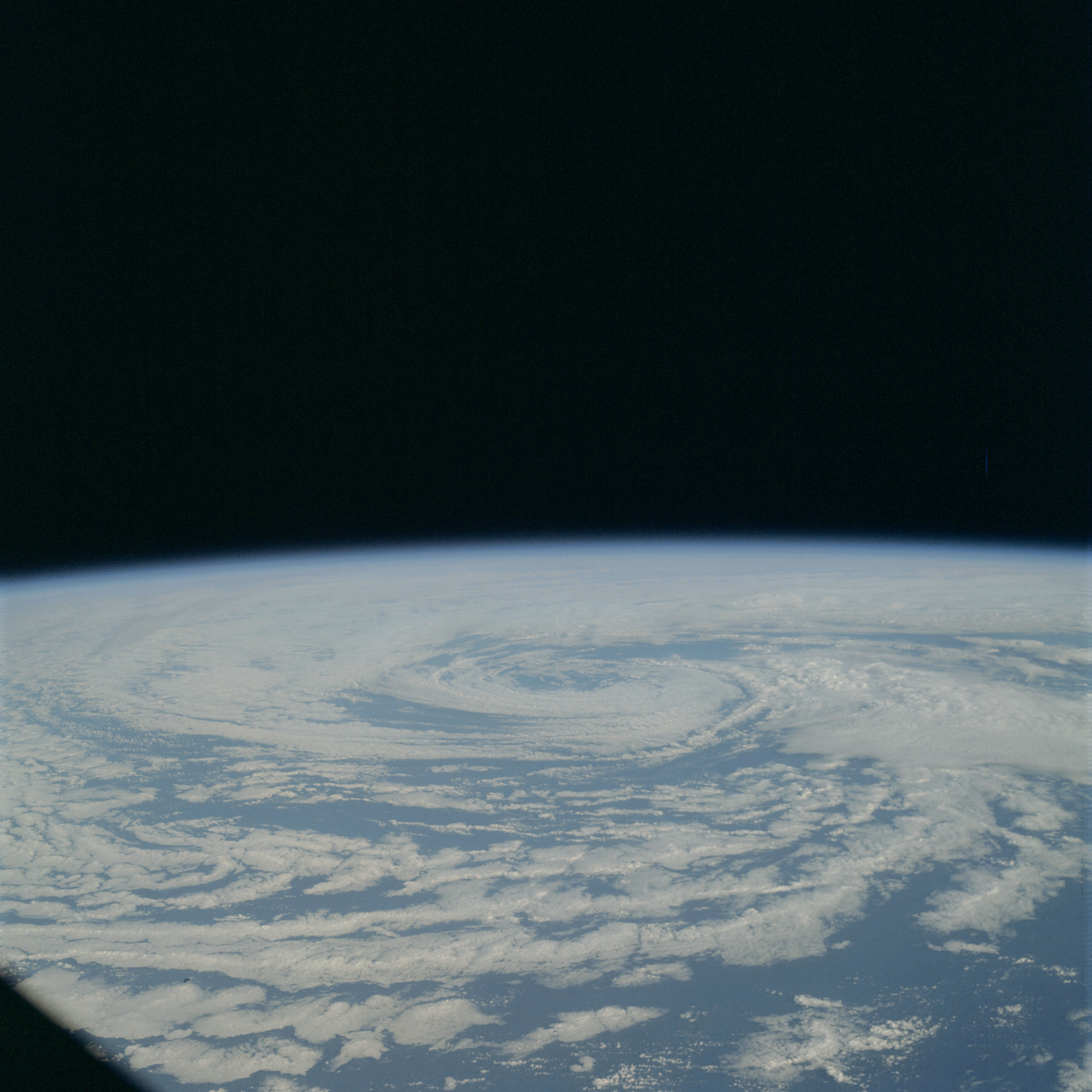 | AS09-23-3593 METEOROLOGY: Cyclonic cloud pattern. Cumulus, alto-cumulus. Image credit: Image Science and Analysis Laboratory, NASA-Johnson Space Center. |
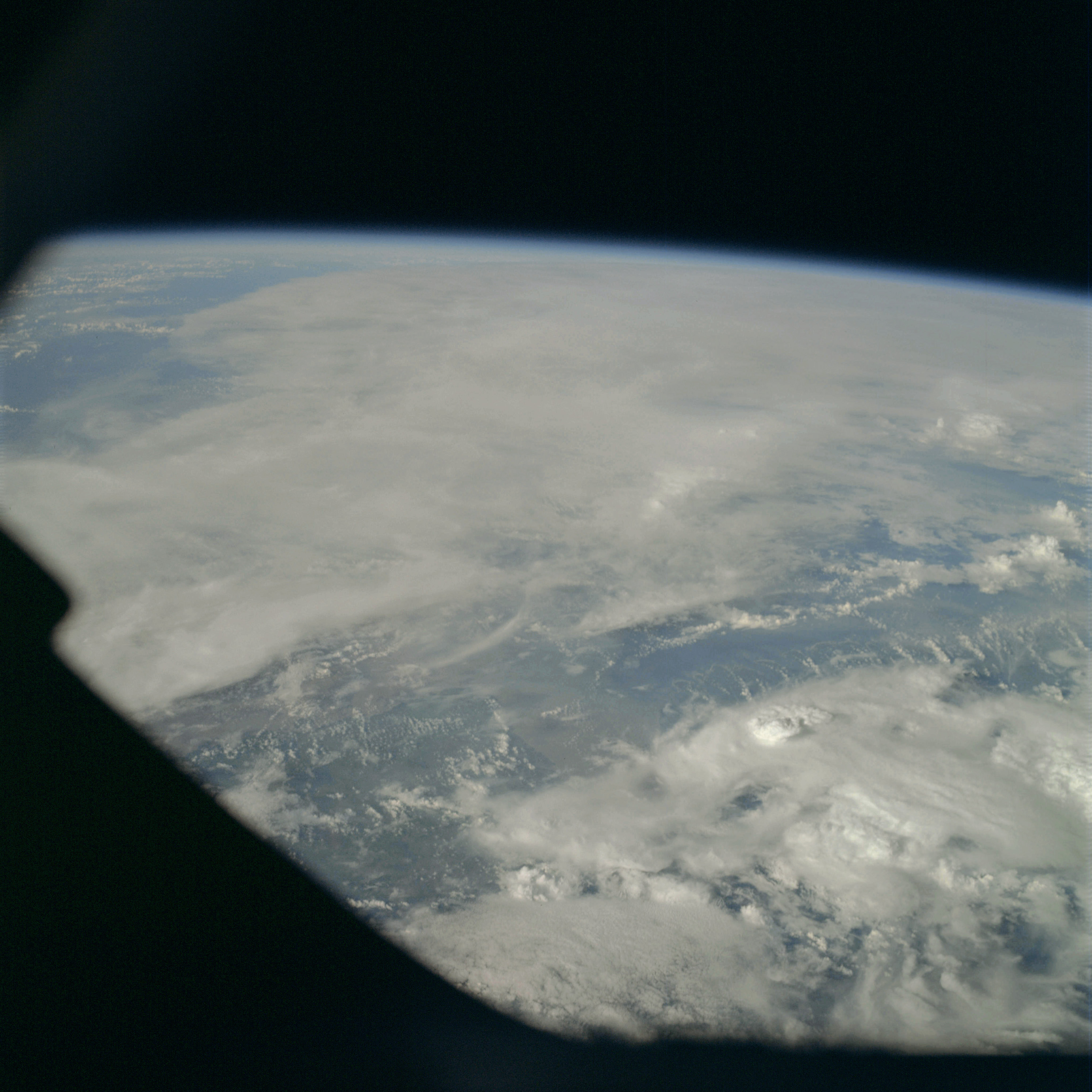 | AS09-23-3594 GEOGRAPHY/CARTOGRAPHY: (Orbits 123-132) METEOROLOGY: Cumulo-nimbus, alto-cumulus, cirrus. Image credit: Image Science and Analysis Laboratory, NASA-Johnson Space Center. |
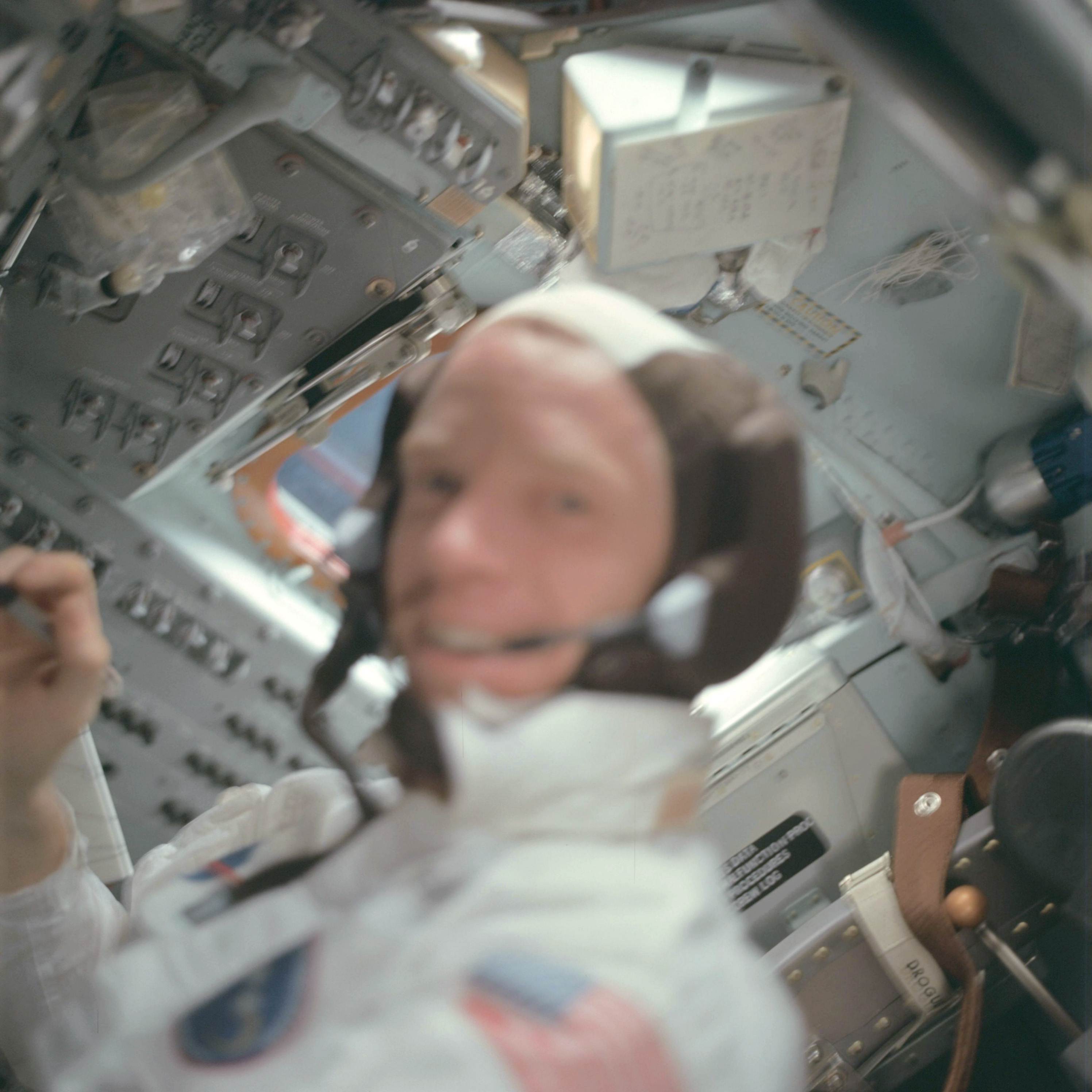 | AS09-23-3595 Astronaut Schweickart in Command Module cabin. Image credit: Image Science and Analysis Laboratory, NASA-Johnson Space Center. |
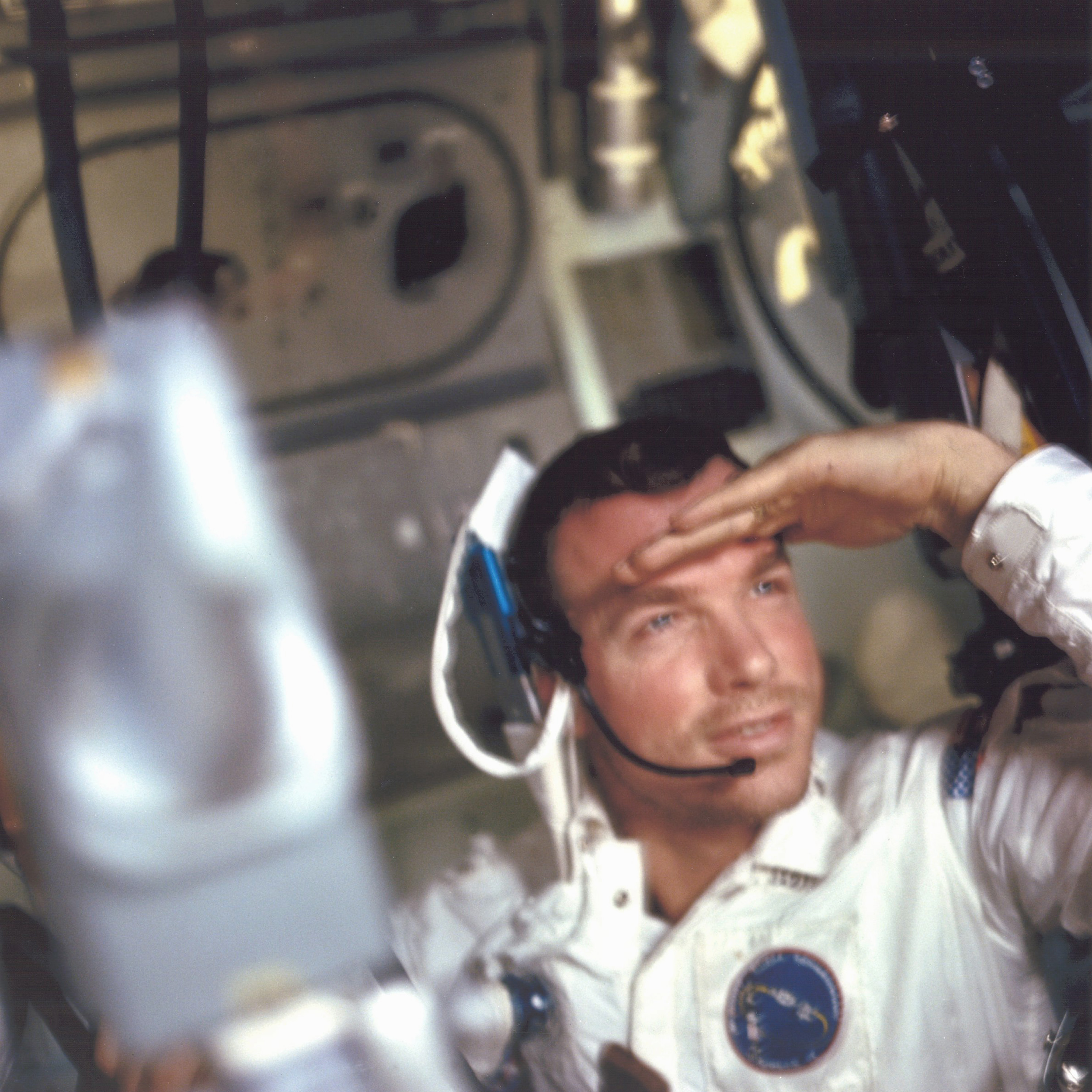 | AS09-23-3596 Astronaut Scott in Command Module cabin. Image credit: Image Science and Analysis Laboratory, NASA-Johnson Space Center. |
 | AS09-23-3597 Astronaut McDivitt in Command Module cabin. Image credit: Image Science and Analysis Laboratory, NASA-Johnson Space Center. |
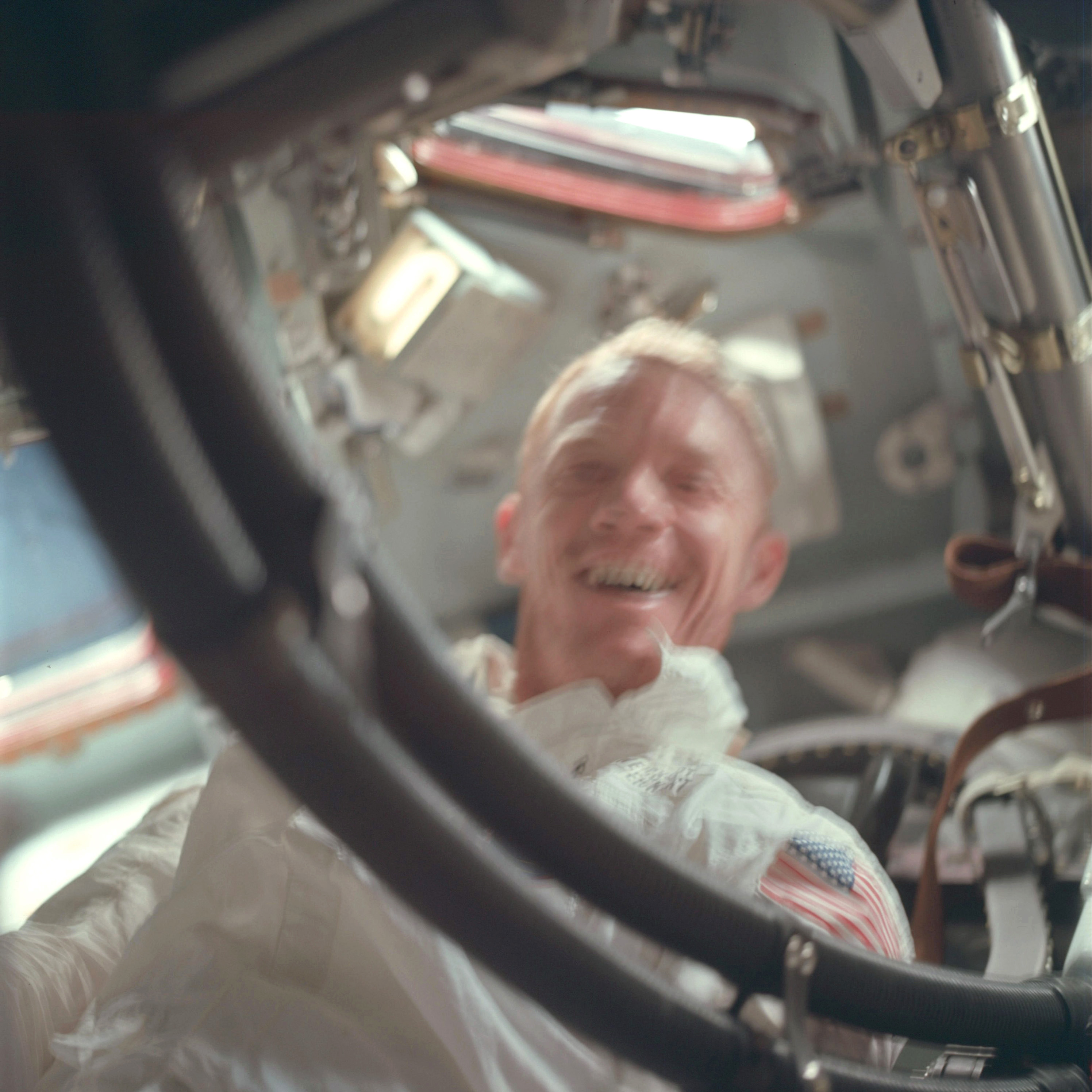 | AS09-23-3598 Astronaut Schweickart in Command Module cabin. Image credit: Image Science and Analysis Laboratory, NASA-Johnson Space Center. |
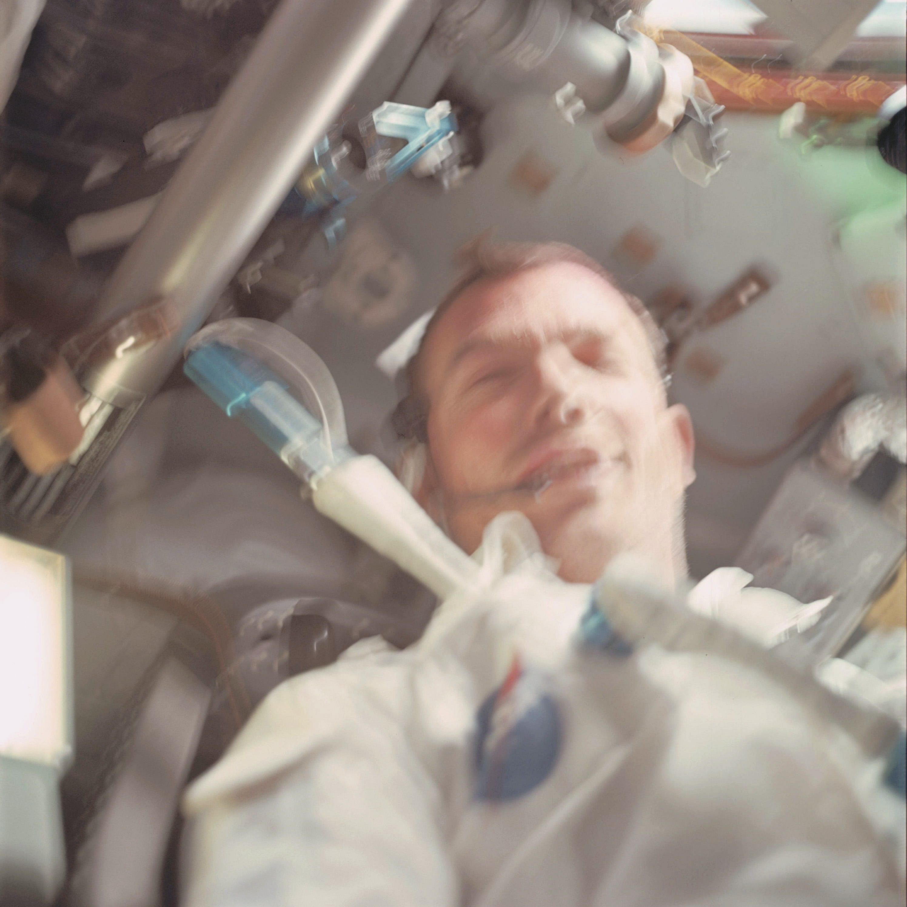 | AS09-23-3599 Astronaut Scott in Command Module cabin. Image credit: Image Science and Analysis Laboratory, NASA-Johnson Space Center. |
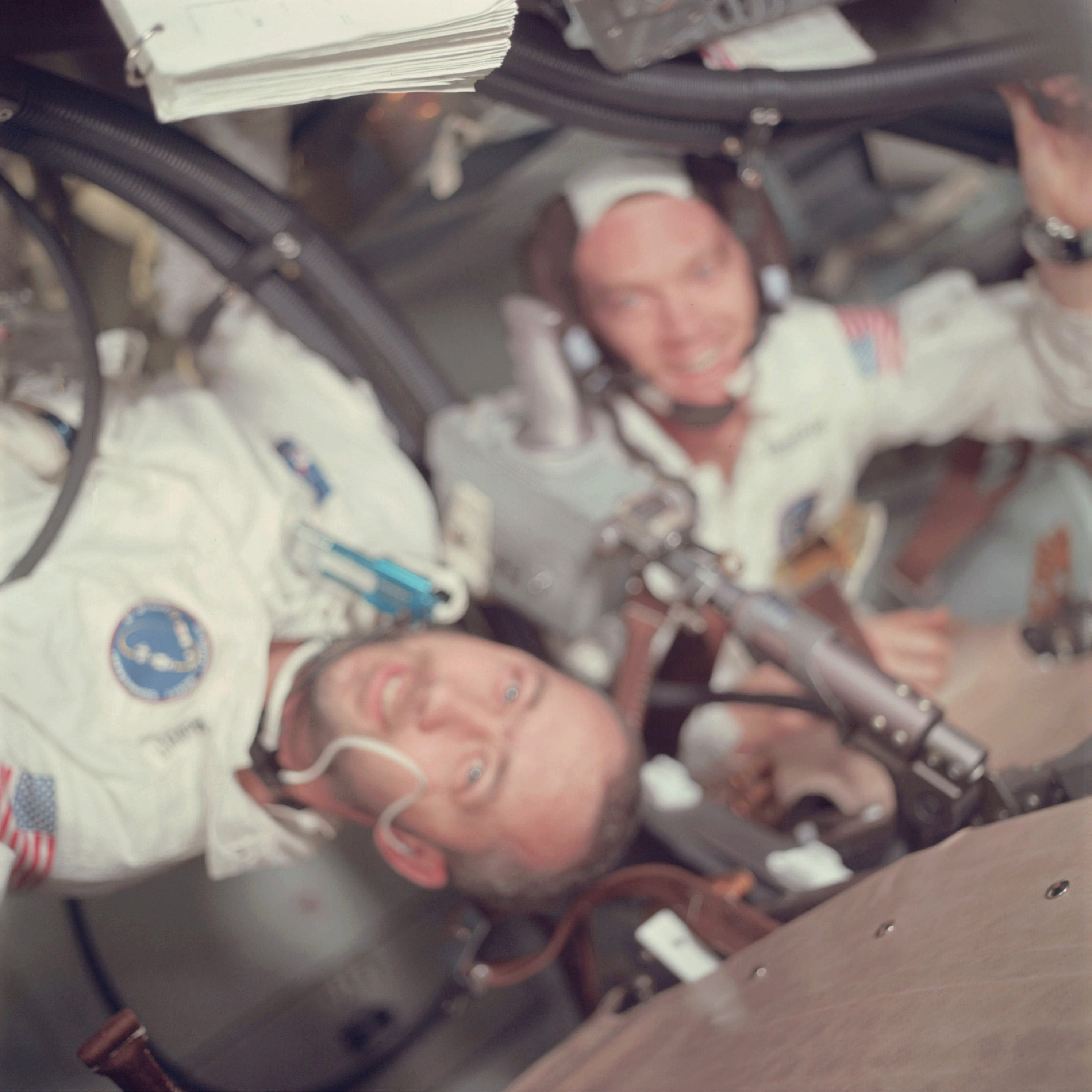 | AS09-23-3600 Astronauts Scott and McDivitt in Command Module cabin. Image credit: Image Science and Analysis Laboratory, NASA-Johnson Space Center. |
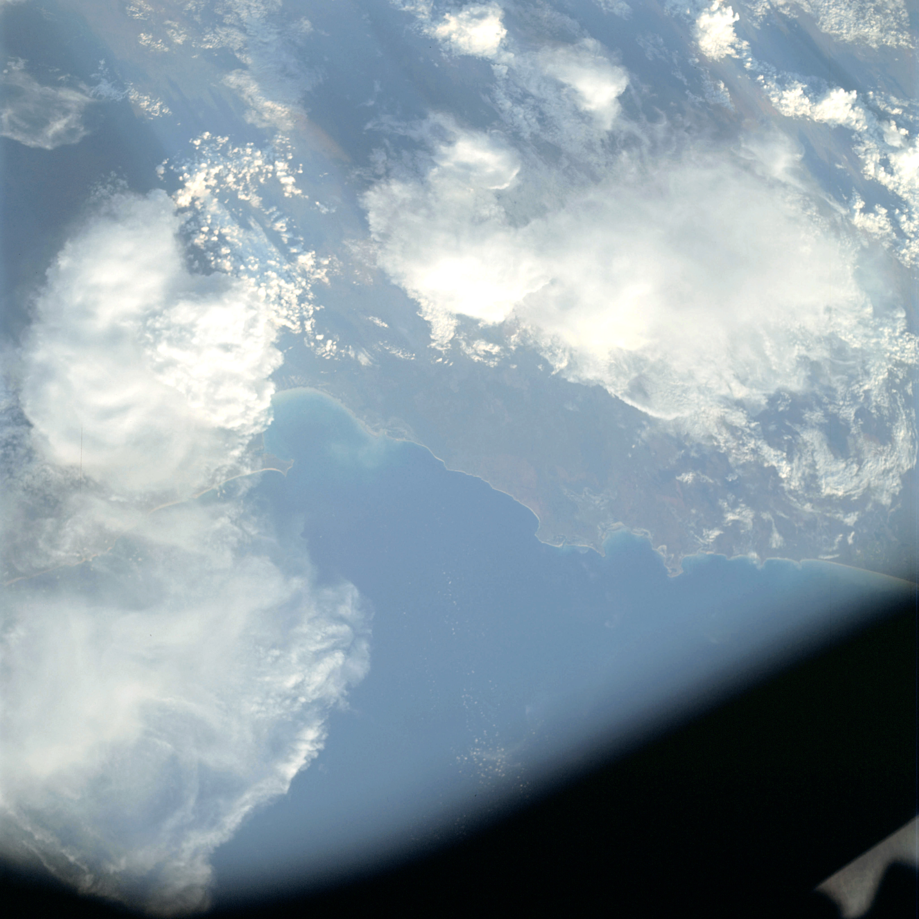 | AS09-23-3601 GEOGRAPHY/CARTOGRAPHY: Australia, town of Brooms, Roebuck and Lagrange Bays. GEOLOGY/HYDROLOGY: Sedimentary coastal plain. AGRICULTURE: Scattered cultivation areas. Range land. FORESTRY: Short grassland and scattered shrubform. METEOROLOGY: Cumulus, thick cirrus. OCEANOGRAPHY: Some wave action, ocean depth variations. Image credit: Image Science and Analysis Laboratory, NASA-Johnson Space Center. |
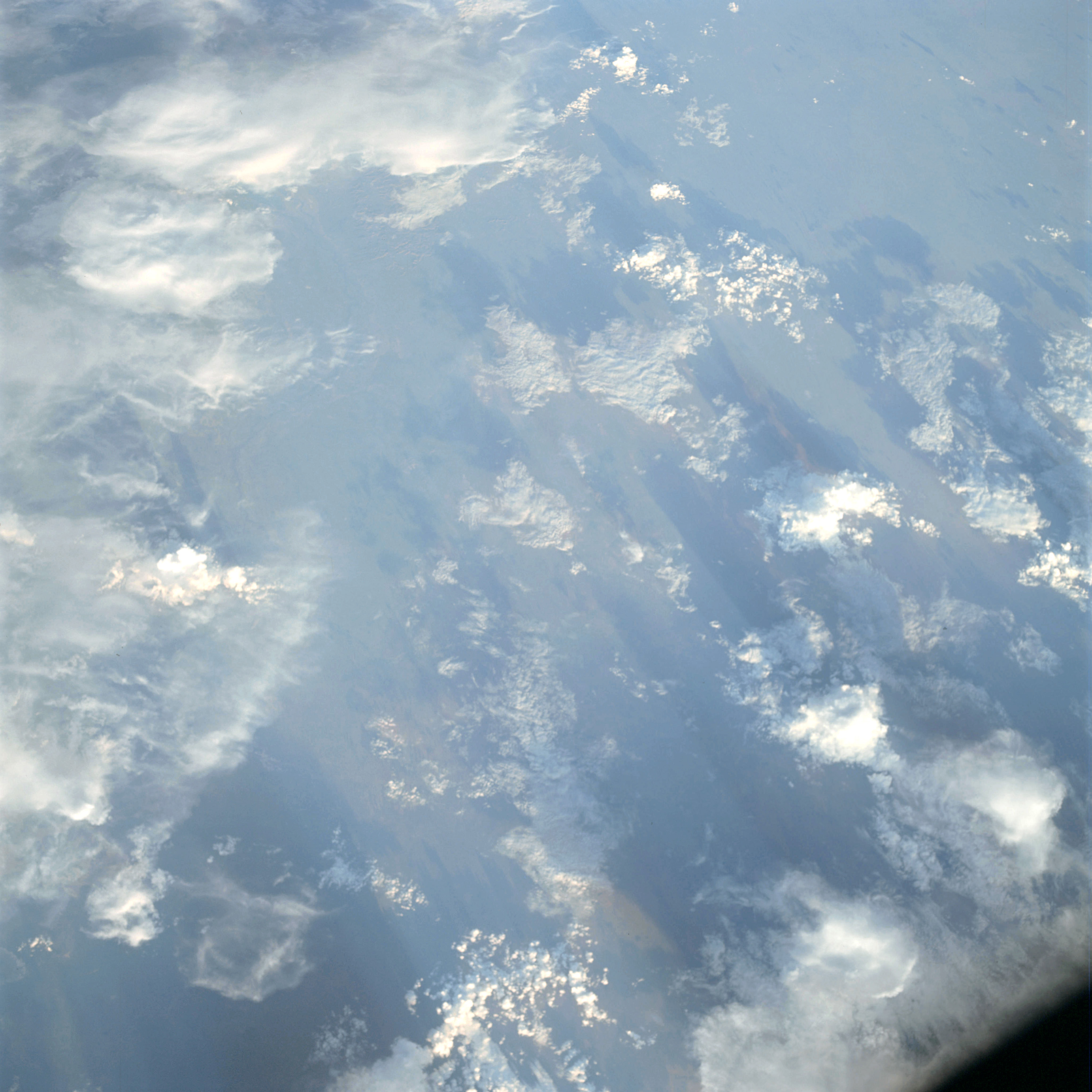 | AS09-23-3602 GEOGRAPHY/CARTOGRAPHY: Australia, Broome. GEOLOGY/HYDROLOGY: Sedimentary coastal plain. AGRICULTURE: Range land. FORESTRY: Grassland and scattered stands of shrubform. METEOROLOGY: Cumulus, towering cumulus, thick cirrus. Image credit: Image Science and Analysis Laboratory, NASA-Johnson Space Center. |
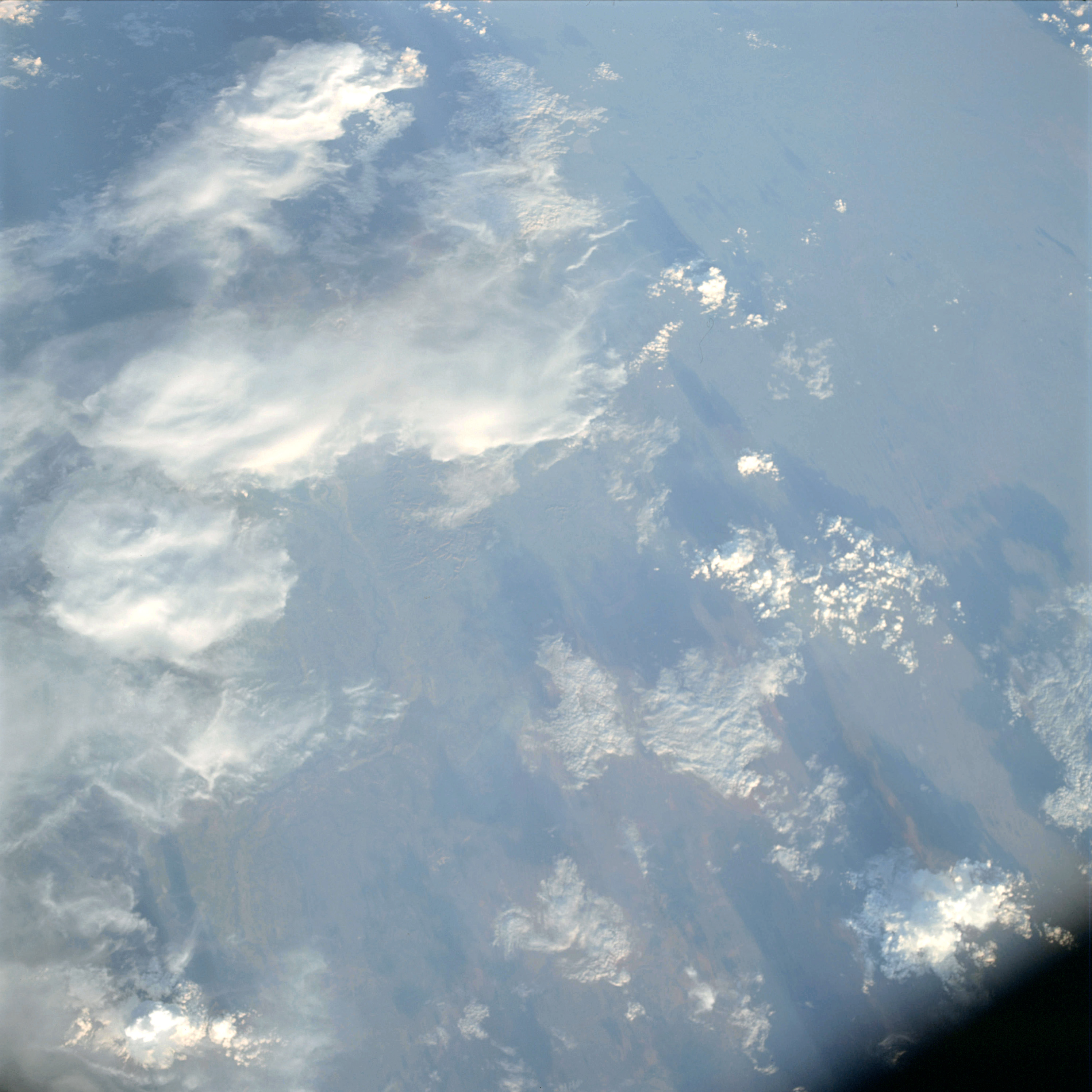 | AS09-23-3603 GEOGRAPHY/CARTOGRAPHY: Australia, Broome. GEOLOGY/HYDROLOGY: Sedimentary coastal plain. AGRICULTURE: Scattered cultivated areas. Range land. FORESTRY: Grassland and scattered shrubform. METEOROLOGY: Cumulus, towering cumulus, thick cirrus. Image credit: Image Science and Analysis Laboratory, NASA-Johnson Space Center. |
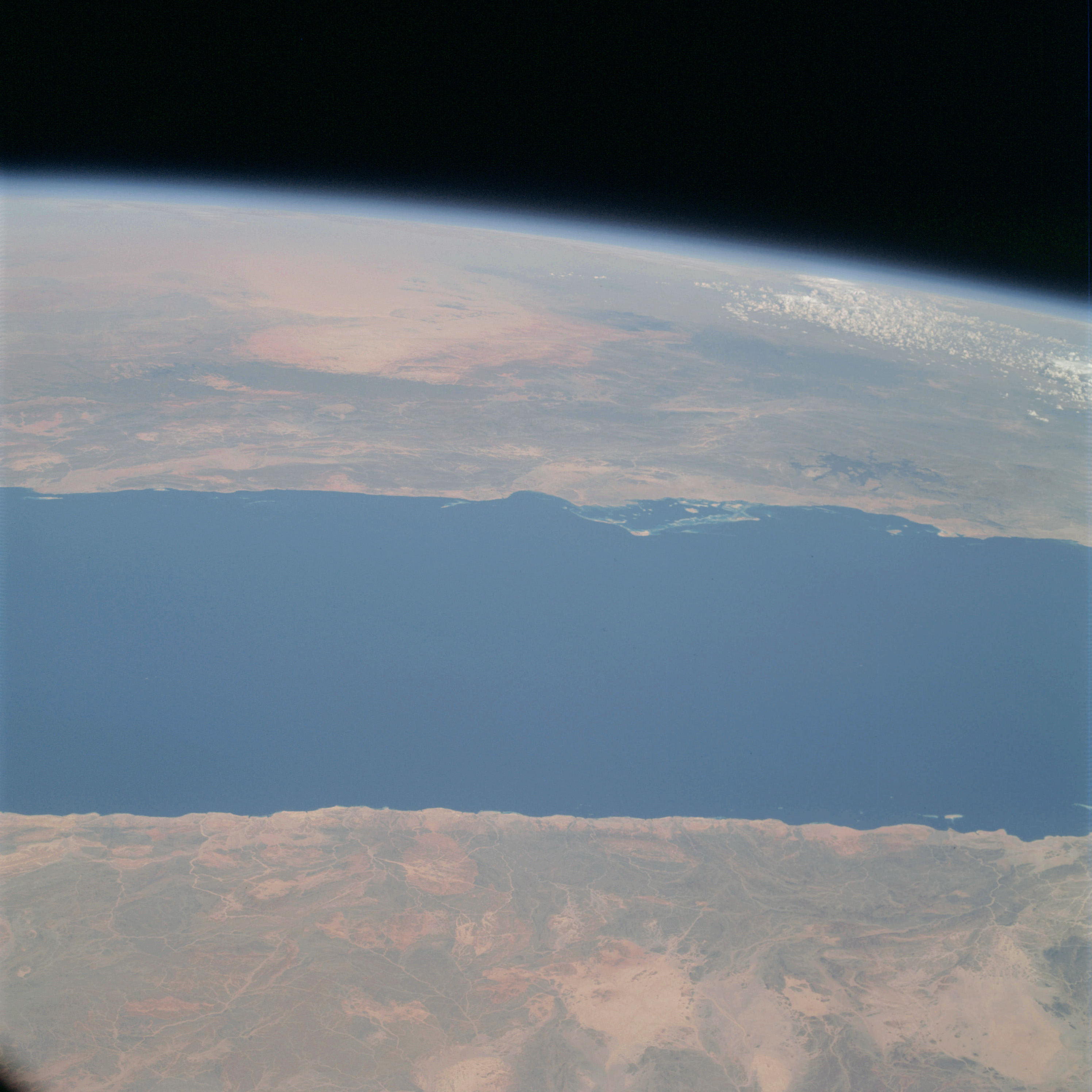 | AS09-23-3604 GEOGRAPHY/CARTOGRAPHY: Africa, Red Sea, Saudi Arabia. GEOLOGY/HYDROLOGY: Highly dissected complex metamorphic plateau. Dendritic drainage. AGRICULTURE: Scattered cultivation along the coast. FORESTRY: Extensive shrubform stands on higher elevations. METEOROLOGY: Cumulus. Image credit: Image Science and Analysis Laboratory, NASA-Johnson Space Center. |
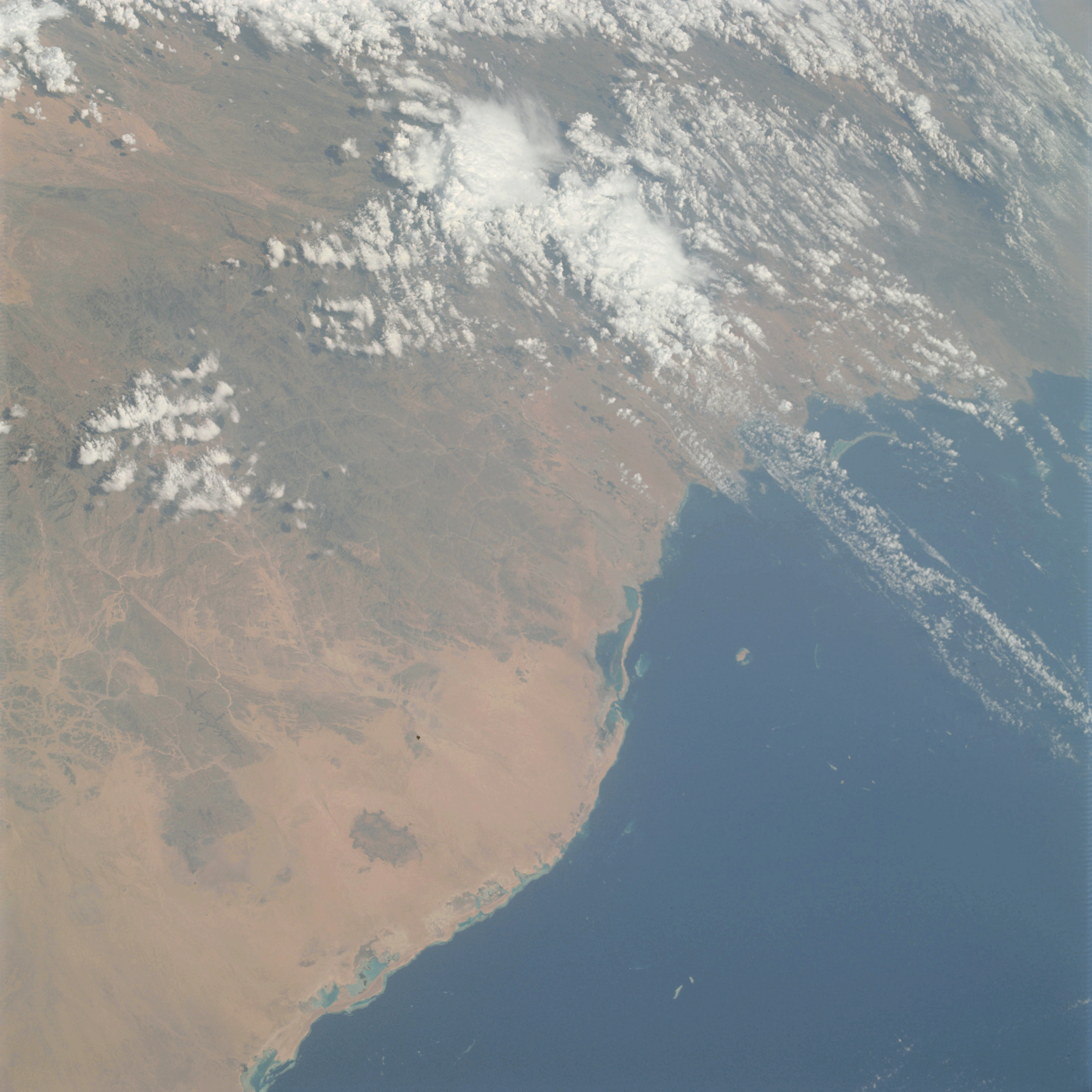 | AS09-23-3605 GEOGRAPHY/CARTOGRAPHY: Saudi Arabia, Abu Latt Island, Red Sea. GEOLOGY/HYDROLOGY: Sedimentary coastal plain and highly dissected complex metamorphic plateau. Dendritic drainage pattern. AGRICULTURE: Cultivated areas along the coast. FORESTRY: Shrubform stands on higher elevations. METEOROLOGY: Cumulus. Image credit: Image Science and Analysis Laboratory, NASA-Johnson Space Center. |
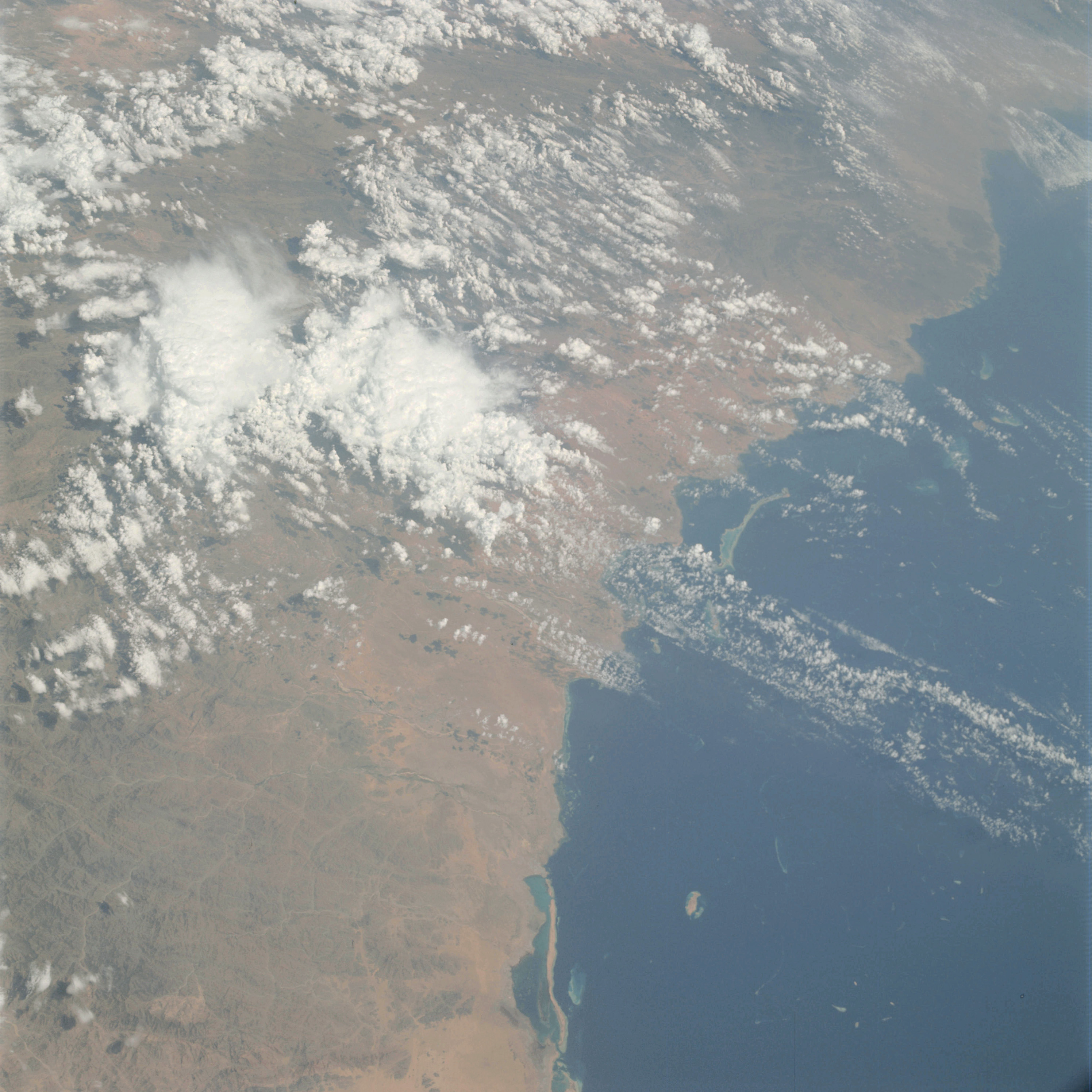 | AS09-23-3606 GEOGRAPHY/CARTOGRAPHY: Saudi Arabia, Abu Latt Island, Red Sea. GEOLOGY/HYDROLOGY: Sedimentary coastal plain and highly dissected complex metamorphic plateau. AGRICULTURE: Cultivated areas along the coastal region. FORESTRY: Shrubform stands on higher elevations. METEOROLOGY: Cumulus, towering cumulus. Image credit: Image Science and Analysis Laboratory, NASA-Johnson Space Center. |
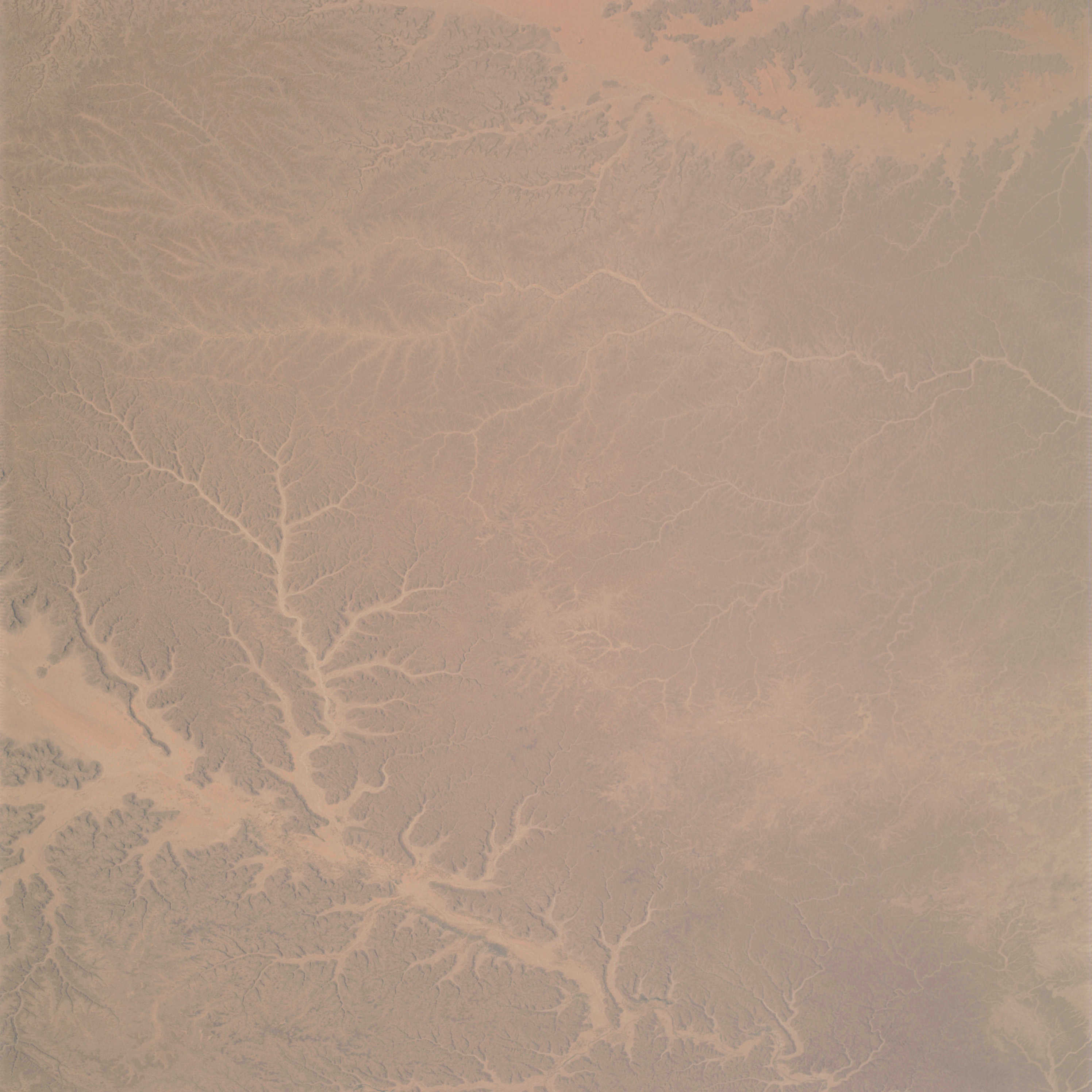 | AS09-23-3607 GEOGRAPHY/CARTOGRAPHY: Saudi Arabia, Wadi Hadramawt, Hadramawt Plateau. GEOLOGY/HYDROLOGY: Dendritic drainage. Highly dissected complex metamorphic plateau. AGRICULTURE: Scattered cultivated areas in valleys. FORESTRY: Desert shrubform on higher elevations. Image credit: Image Science and Analysis Laboratory, NASA-Johnson Space Center. |
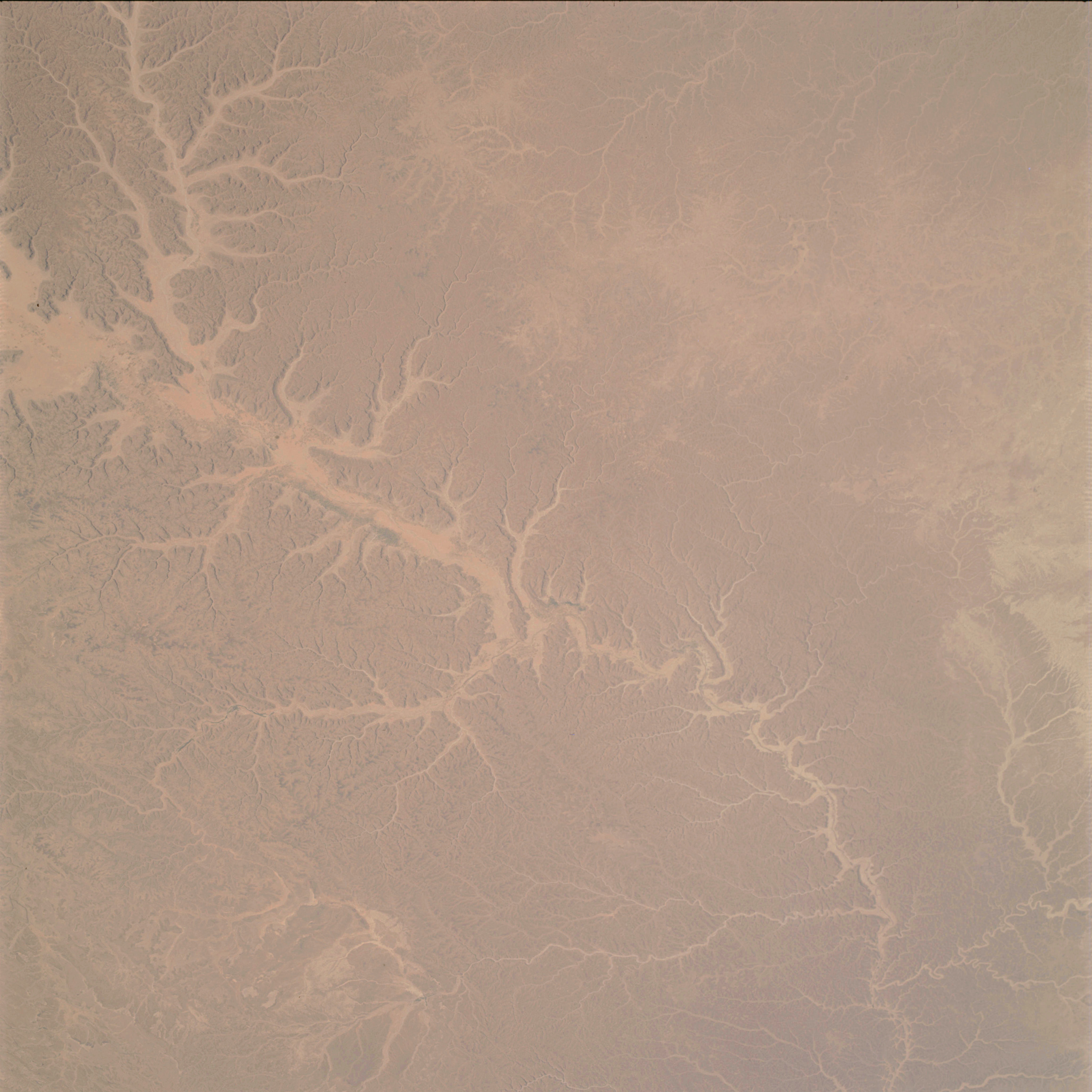 | AS09-23-3608 GEOGRAPHY/CARTOGRAPHY: Saudi Arabia, Wadi Hadramawt, Hadramawt Plateau. GEOLOGY/HYDROLOGY: Dendritic drainages. Highly dissected complex metamorphic plateau. AGRICULTURE: Scattered cultivated areas in valleys. FORESTRY: Scattered desert shrubform stands on higher elevations. Image credit: Image Science and Analysis Laboratory, NASA-Johnson Space Center. |
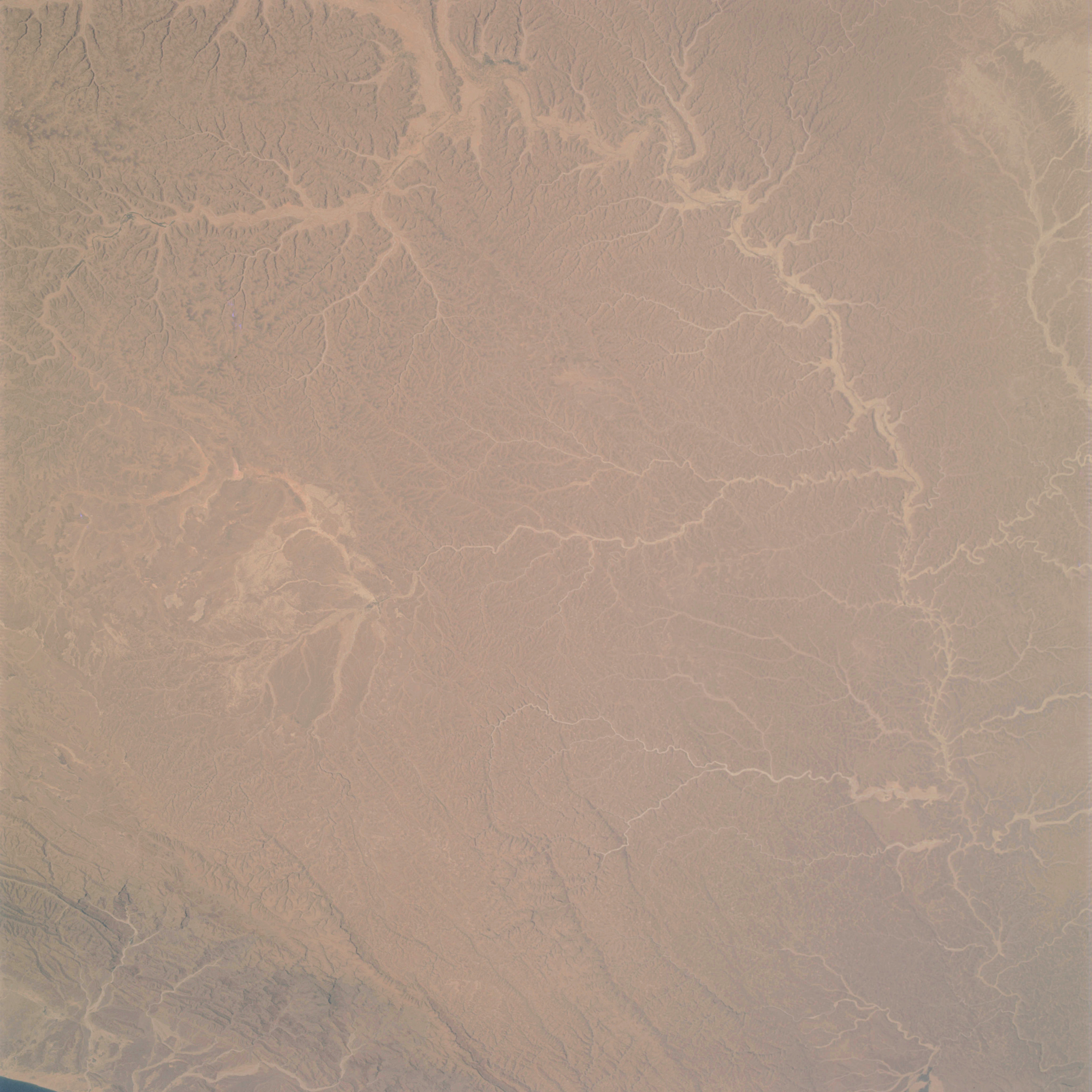 | AS09-23-3609 GEOGRAPHY/CARTOGRAPHY: Saudi Arabia, Wadi Hadramawt, Hadramawt Plateau. GEOLOGY/HYDROLOGY: Dendritic drainage. Highly dissected complex metamorphic plateau. AGRICULTURE: Sparsely scattered cultivated areas in valleys. FORESTRY: Scattered desert shrubform on higher elevations. Image credit: Image Science and Analysis Laboratory, NASA-Johnson Space Center. |
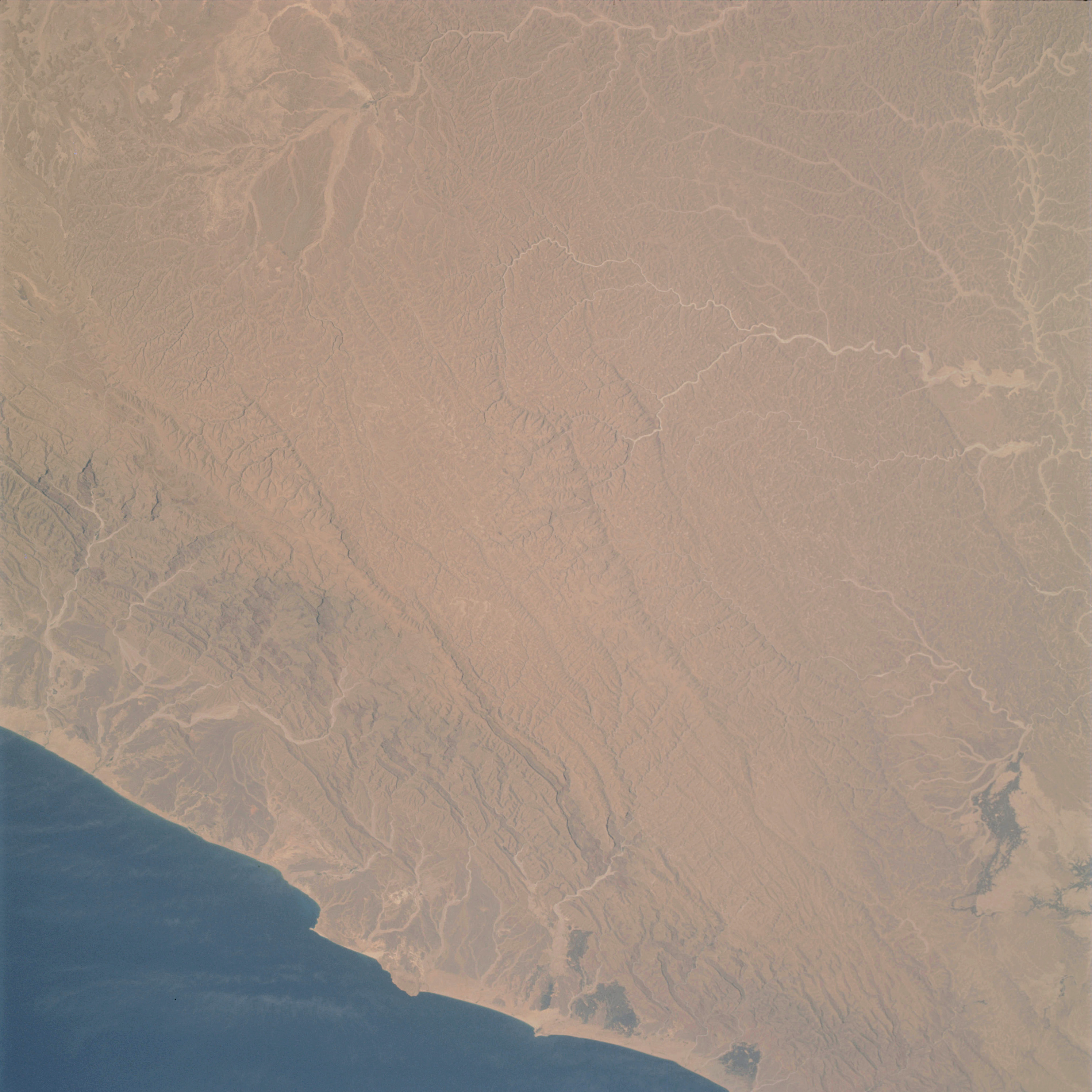 | AS09-23-3610 GEOGRAPHY/CARTOGRAPHY: Saudi Arabia, Wadi Hadramawt, Hadramawt Plateau, Gulf of Aden. GEOLOGY/HYDROLOGY: Dendritic drainage. Sedimentary coastal plain and highly dissected complex metamorphic plateau. AGRICULTURE: Scattered cultivated areas along the coastal region. FORESTRY: Scattered desert shrubform. OCEANOGRAPHY: Some wave-action. Image credit: Image Science and Analysis Laboratory, NASA-Johnson Space Center. |
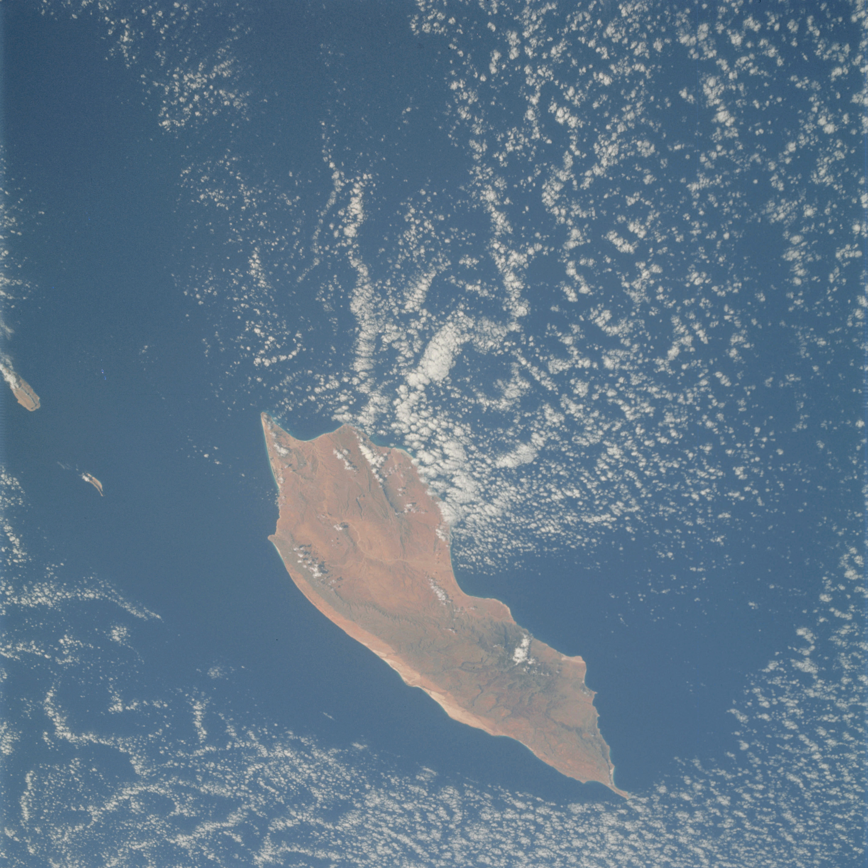 | AS09-23-3611 GEOGRAPHY/CARTOGRAPHY: Island of Socotra, Indian Ocean. GEOLOGY/HYDROLOGY: Complex plateau and volcanic highlands, AGRICULTURE: Scattered cultivated areas along the coast. FORESTRY: Hardwood forest stands on higher elevations. METEOROLOGY: Cumulus. Image credit: Image Science and Analysis Laboratory, NASA-Johnson Space Center. |
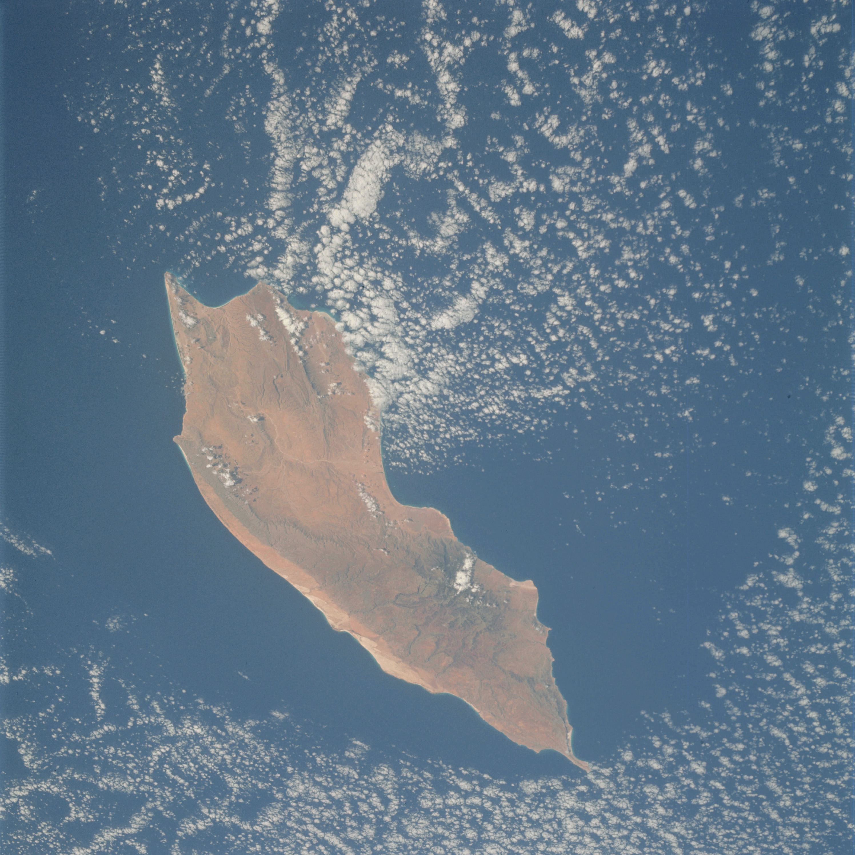 | AS09-23-3612 GEOGRAPHY/CARTOGRAPHY: Island of Socotra, Indian Ocean. GEOLOGY/HYDROLOGY: Complex plateau and volcanic highlands, AGRICULTURE: Scattered cultivated areas along the coast. FORESTRY: Hardwood forest stands on higher elevations. METEOROLOGY: Cumulus. Image credit: Image Science and Analysis Laboratory, NASA-Johnson Space Center. |
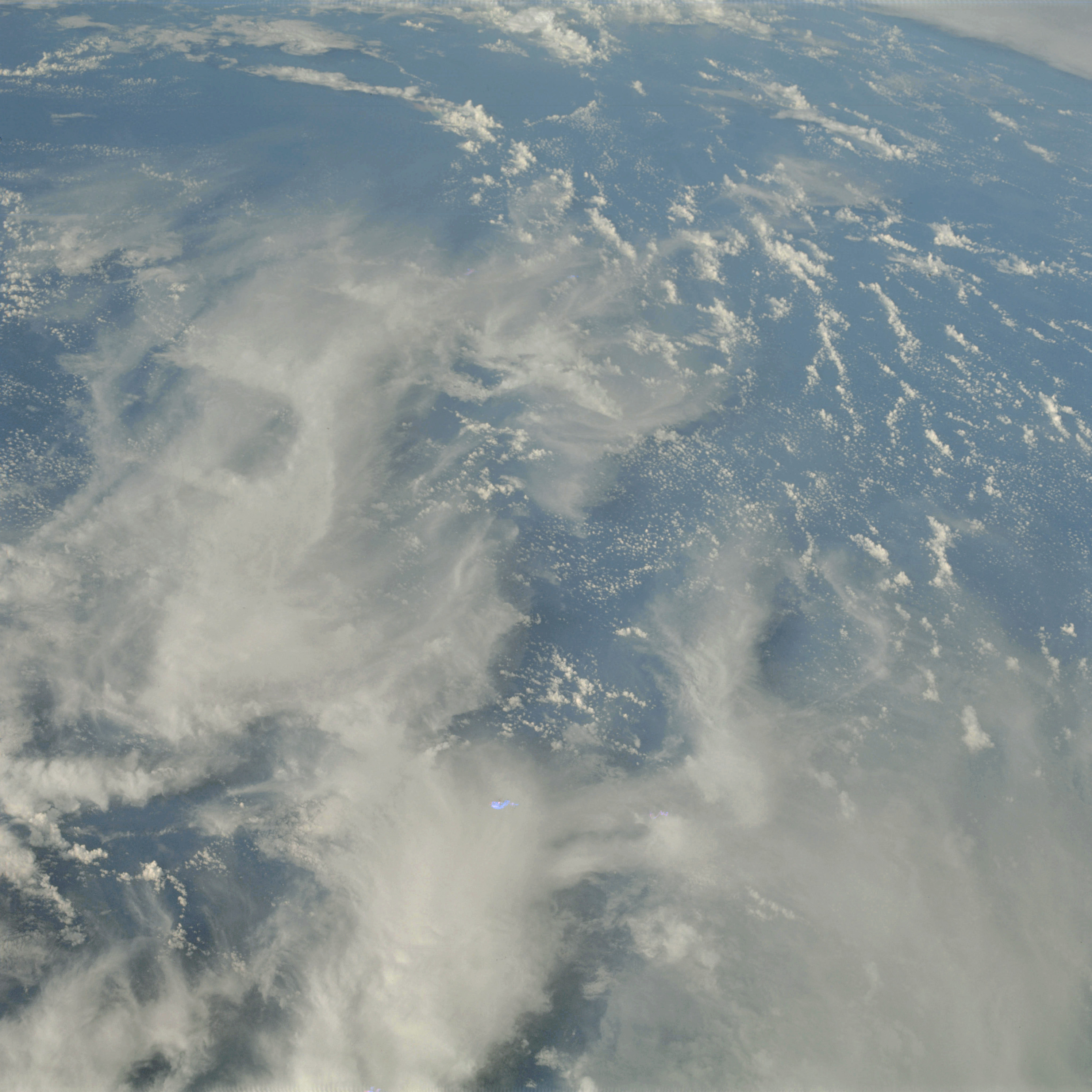 | AS09-23-3613 GEOGRAPHY/CARTOGRAPHY: Atlantic Ocean. (Orbits 133, 134) METEOROLOGY: Cumulus, cirrus. Image credit: Image Science and Analysis Laboratory, NASA-Johnson Space Center. |
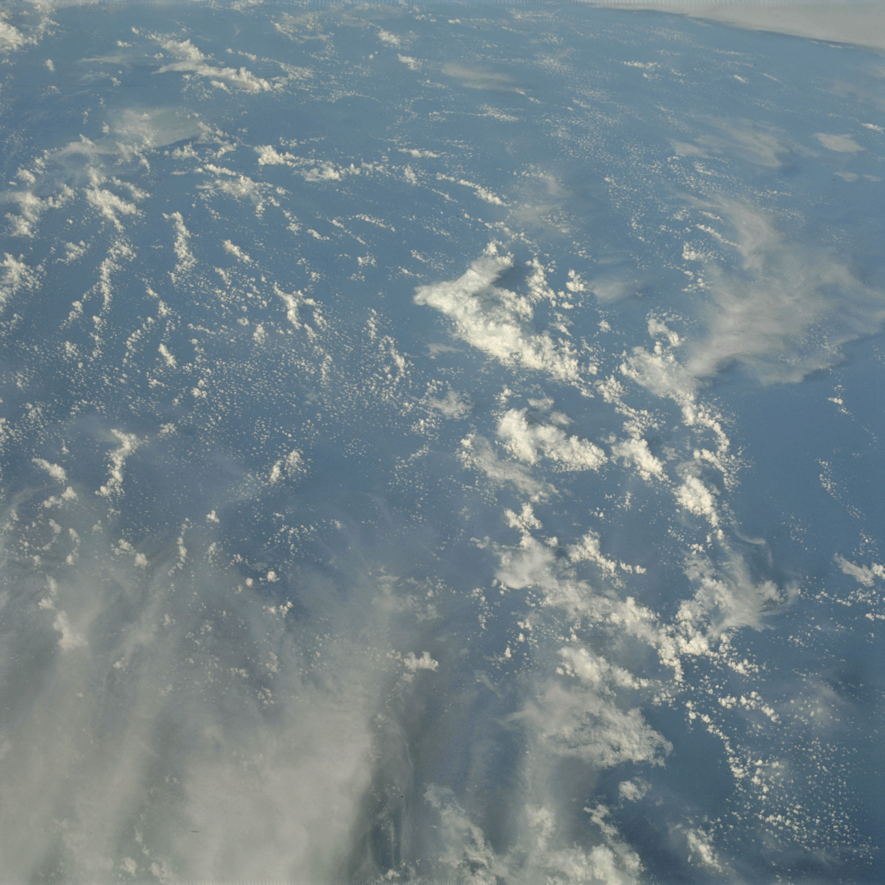 | AS09-23-3614 GEOGRAPHY/CARTOGRAPHY: Atlantic Ocean. (Orbits 133, 134) METEOROLOGY: Cumulus, cirrus. Image credit: Image Science and Analysis Laboratory, NASA-Johnson Space Center. |
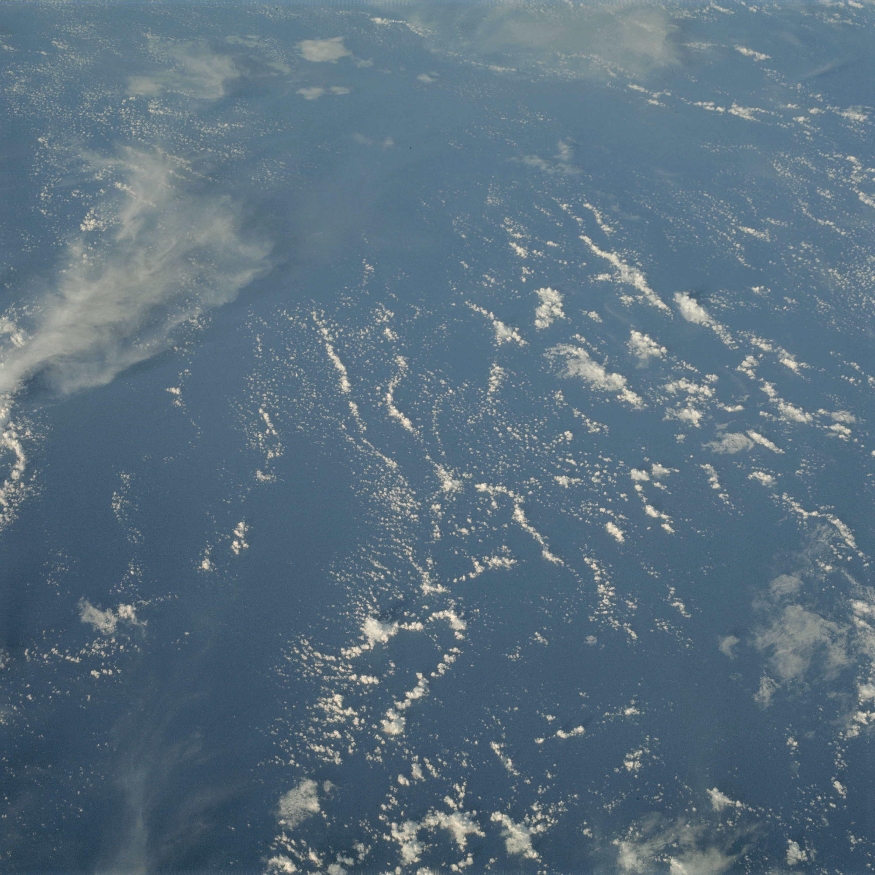 | AS09-23-3615 GEOGRAPHY/CARTOGRAPHY: Atlantic Ocean. (Orbits 133, 134) METEOROLOGY: Cumulus, cirrus. Image credit: Image Science and Analysis Laboratory, NASA-Johnson Space Center. |
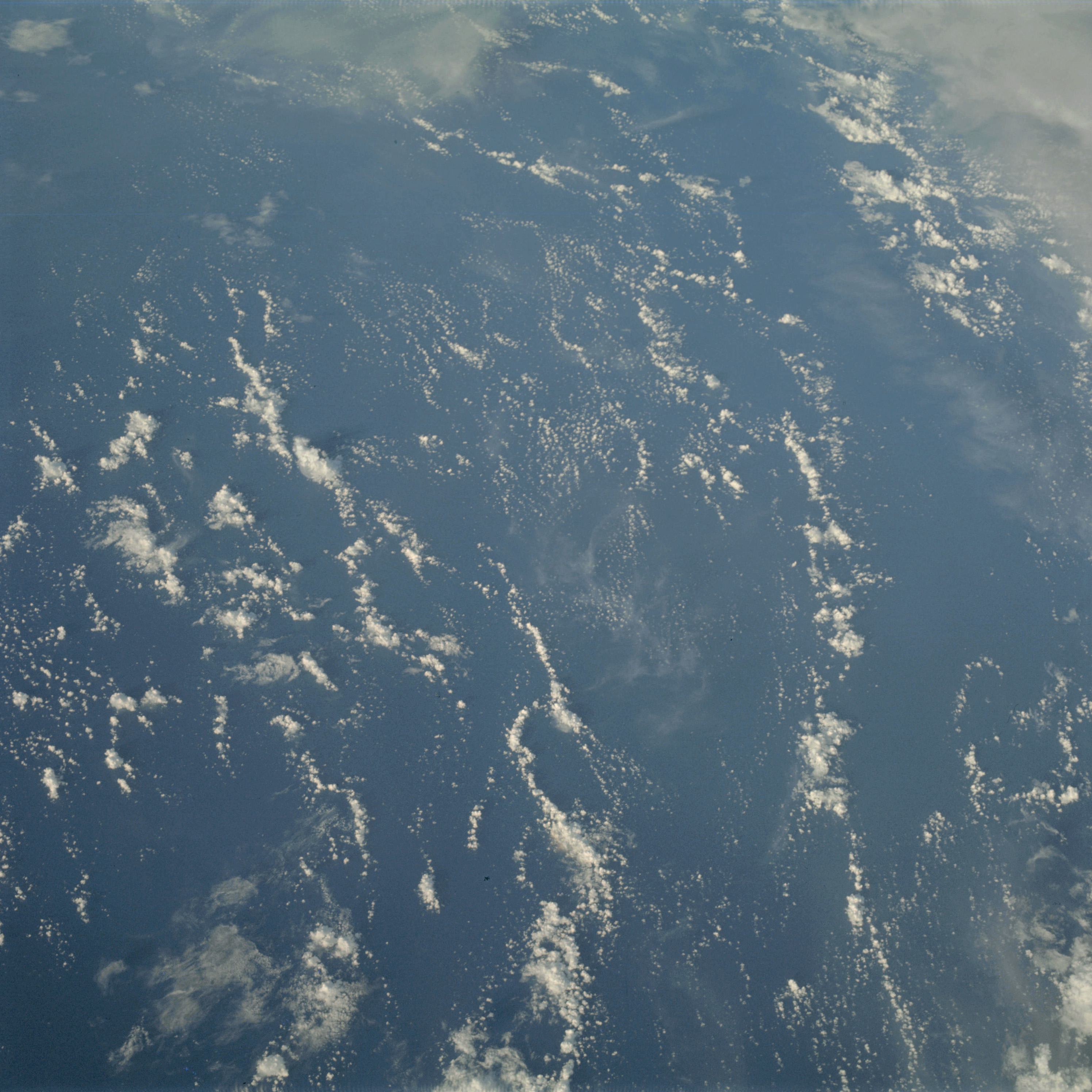 | AS09-23-3616 GEOGRAPHY/CARTOGRAPHY: Atlantic Ocean. (Orbits 133, 134) METEOROLOGY: Cumulus, cirrus. Image credit: Image Science and Analysis Laboratory, NASA-Johnson Space Center. |
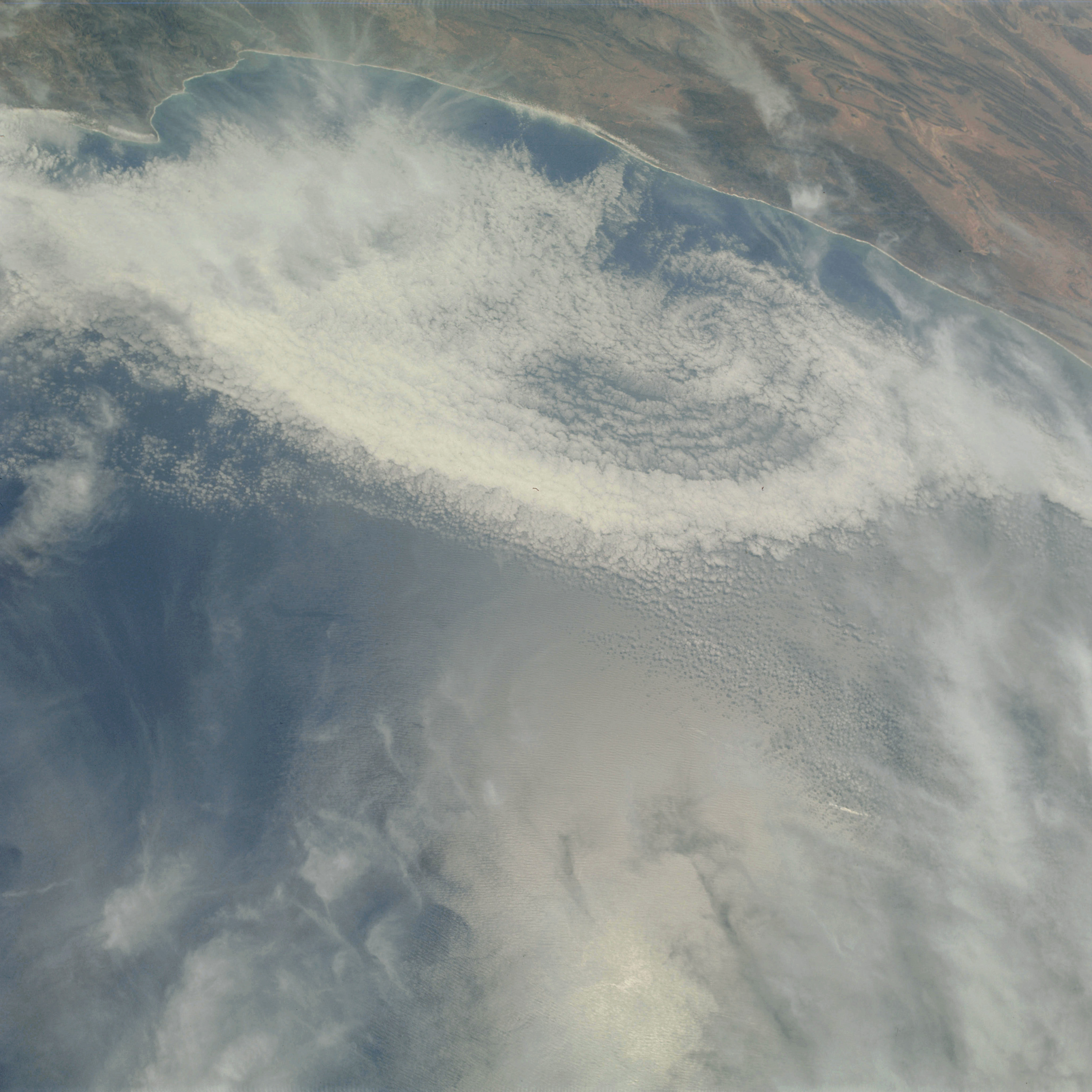 | AS09-23-3617 GEOGRAPHY/CARTOGRAPHY: Morocco, Coast off Agadir. GEOLOGY/HYDROLOGY: Coastal plain and complex metamorphic plateau. AGRICULTURE: Scattered cultivation along the coastal area. FORESTRY: Shrubform on higher elevations. METEOROLOGY: anticyclonic cloud pattern, cumulus, alto-cumulus, cirrus. Image credit: Image Science and Analysis Laboratory, NASA-Johnson Space Center. |
 | AS09-23-3618 Partial frame. Image credit: Image Science and Analysis Laboratory, NASA-Johnson Space Center. |
|
|
|
| 70-mm magazine C - AS09-22-3324 to 3474 |
Photography Index | 70-mm magazine F - AS09-24-3619 to 3681 |